


Snowshoe hike to Grifitzbühel
The Grifitzbühel lies on the north side above the hamlet of Kornat and is probably one of the most beautiful snowshoe hikes in the Lesachtal. Due to the south-facing exposure of the route, it can be done...
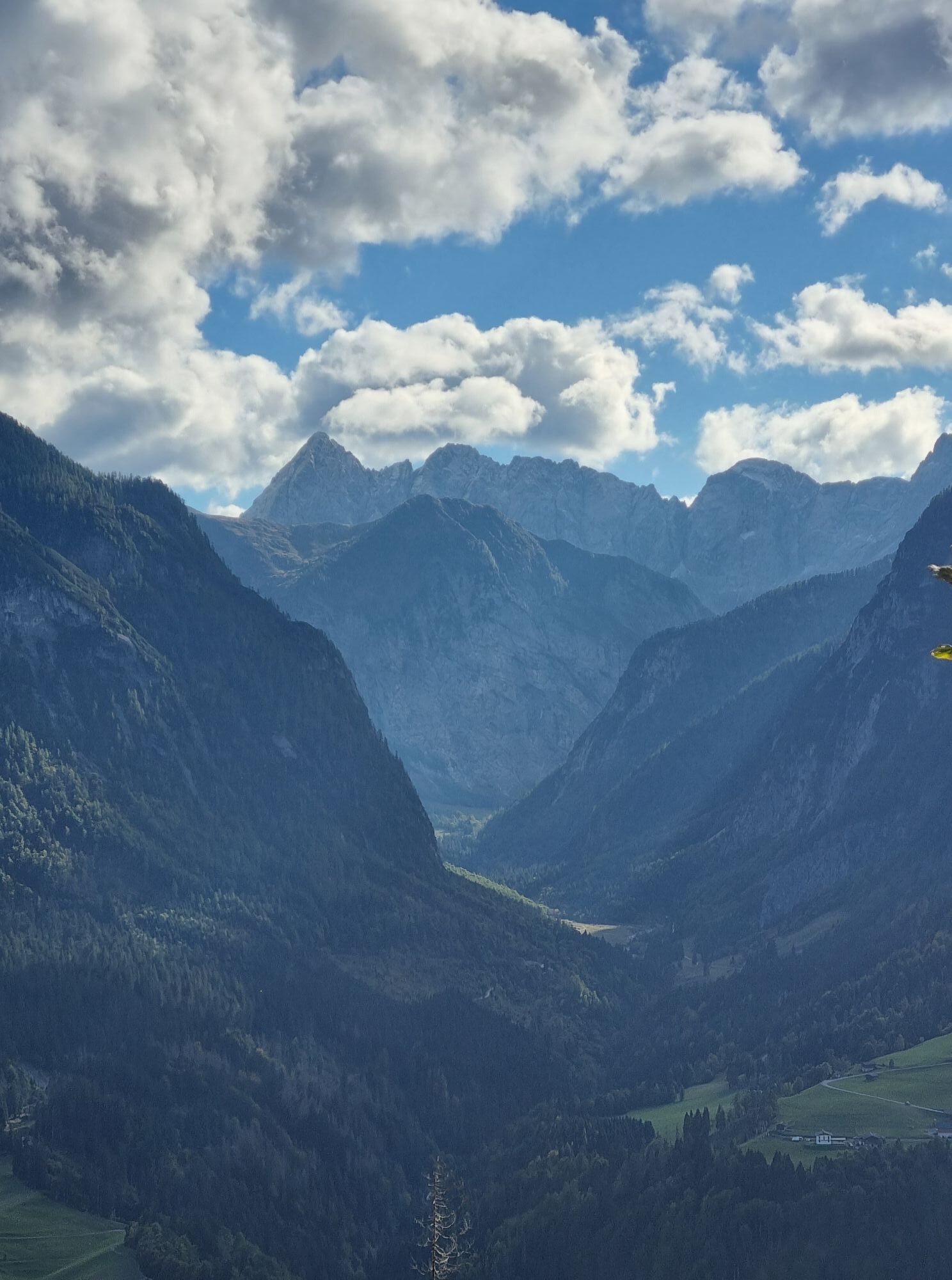
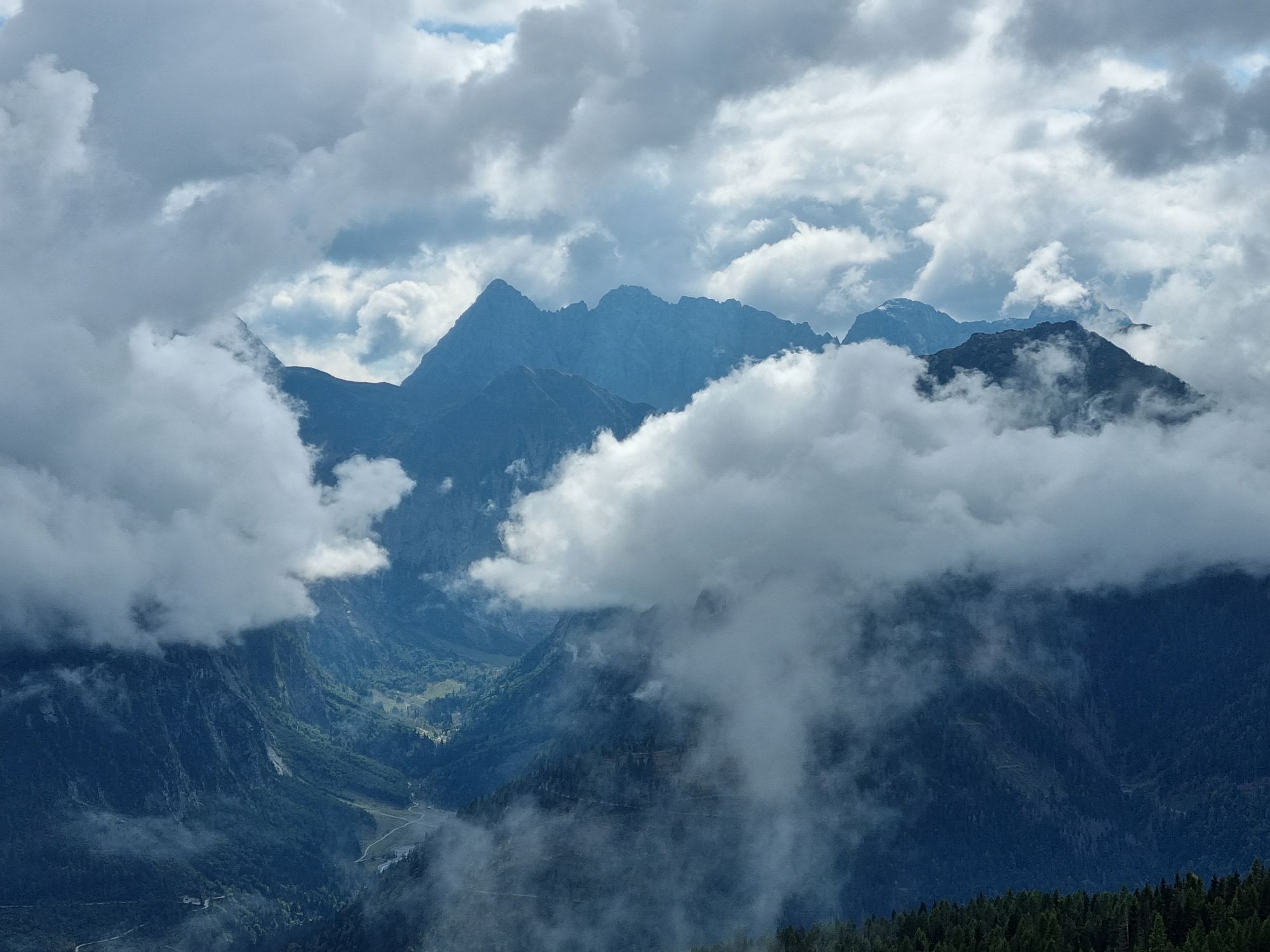
The Grifitzbühel lies on the north side above the hamlet of Kornat and is probably one of the most beautiful snowshoe hikes in the Lesachtal. Due to the south-facing exposure of the route, it can be done well throughout the winter. The upper part goes through sparse larch forests and wide high plateaus. Here, one almost gets the impression that this mountain was made especially for snowshoers. The last few meters to the summit are "short and steep", but you are rewarded with a breathtaking view.
------------------------------------------------------------------------------------------------------------------------------------------------------------------------
Important: Always observe the current avalanche warning level and inform yourself about the current path and weather conditions before the tour!
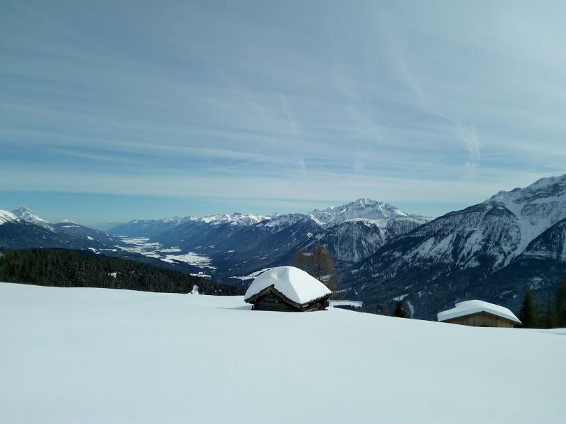
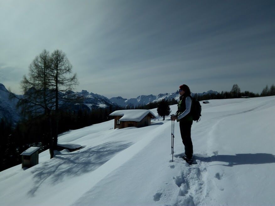
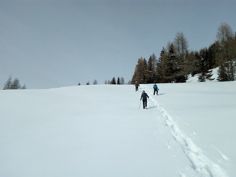
Easy and rewarding winter hike; ascent 2.5 hours; from the highest farmsteads of Kornat (access from Birnbaum) along a hollow path to the north. At the fork reached after a few minutes, turn right, at another split further up turn left, until you finally reach the summit over sparsely forested alpine terrain with several hay huts and the ridge of the Grifitzbühel (1861 m; cross). The descent follows either the ascent route, with the option to descend south of the fore-ridge diagonally over the Hamwiesen meadows to Oberzählplatz (1409 m), or southward across the Kornater meadows to Mattling (bus stop).
Ano
Snowshoes with telescopic poles, standard safety equipment (avalanche transceiver, probe, shovel, first aid kit)
Always pay attention to the current avalanche warning level!
From Kötschach-Mauthen, take the B111 westward to the village of Birnbaum. At the village shop, turn right onto the municipal road towards Kornat and follow the road to the uppermost houses of the hamlet. From Lienz/East Tyrol, turn in Tassenbach towards Obertilliach/Maria Luggau and follow the road to Birnbaum village, then turn sharply left at the village shop and after a short drive reach the uppermost houses of the hamlet of Kornat.
Birnbaum bus stop, from there the start of the route in Kornat can be reached on foot in about 30 minutes.
Parking space for a few vehicles is available along the road, especially in the area of the last hairpin bends.
Oblíbené prohlídky v okolí
- 4,7
Karlsbader Hütte über Rudl-Eller-Weg
heavyTuristika 5,10 km - 5,0
Ederplan round from the parking lot Stronach
středníTuristika 7,19 km - 4,5
Karnischer Höhenweg – Etappe 4: Hochweißsteinhaus – Wolayersee Hütte
heavydálková pěší trasa 15,9 km - 4,9
Pirknerklamm (C)
středníVia ferrata 2 km - 4,8
Lienzer Dolomiten-Lasertörl
středníTuristika 13,2 km - 4,7
Obergail - Obergailer Alm - Obergailer Lake - Enderberg hut - Source for Health & Peace - Madonna circular hiking route - Obergail
středníTuristika 11,4 km - 3,9
Karlsbader Hütte - Lienzer Dolomiten
Turistika 8 km - 4,9
Karnischer Hauptkamm - Hohe Warte 2.780m - Hike and Bike
heavyHorská turistika 19,5 km - 4,3
Mountainbiketour von der Hubertuskapelle zum Wolayersee
heavyMountainbike 9,06 km - 3,9
Summit hike to the Hochstadel
středníTuristika 7,83 km
Pěší turistika a stopování


Nenechte si ujít nabídky a inspiraci pro vaši příští dovolenou
Vaše e-mailová adresa byl přidán do poštovního seznamu.