


Millstätter Hometrail | nock/bike Trail T48
Úroveň obtížnosti: S2
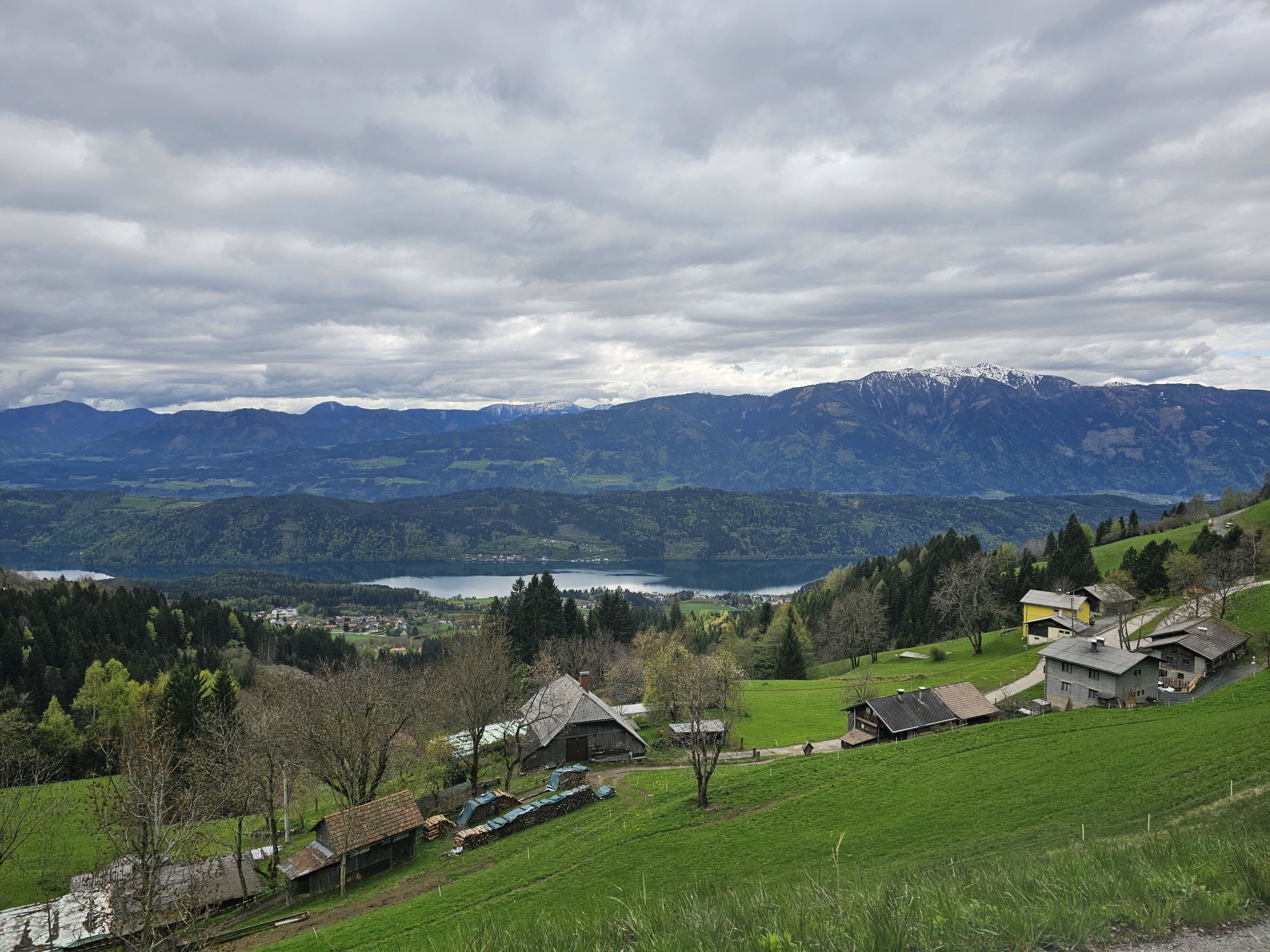


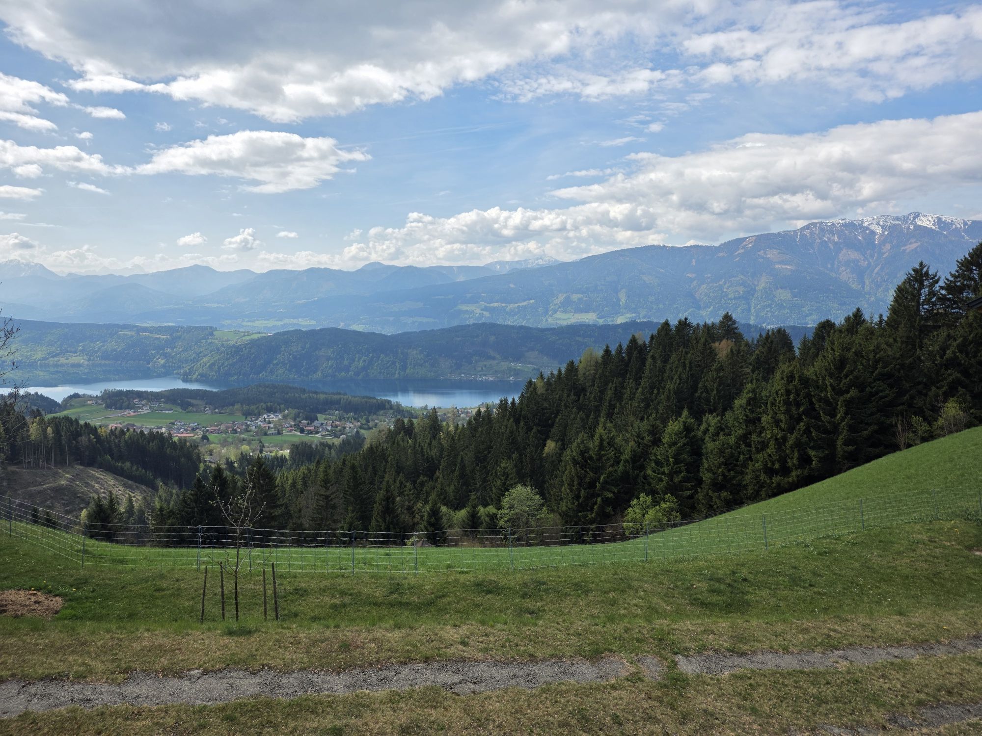
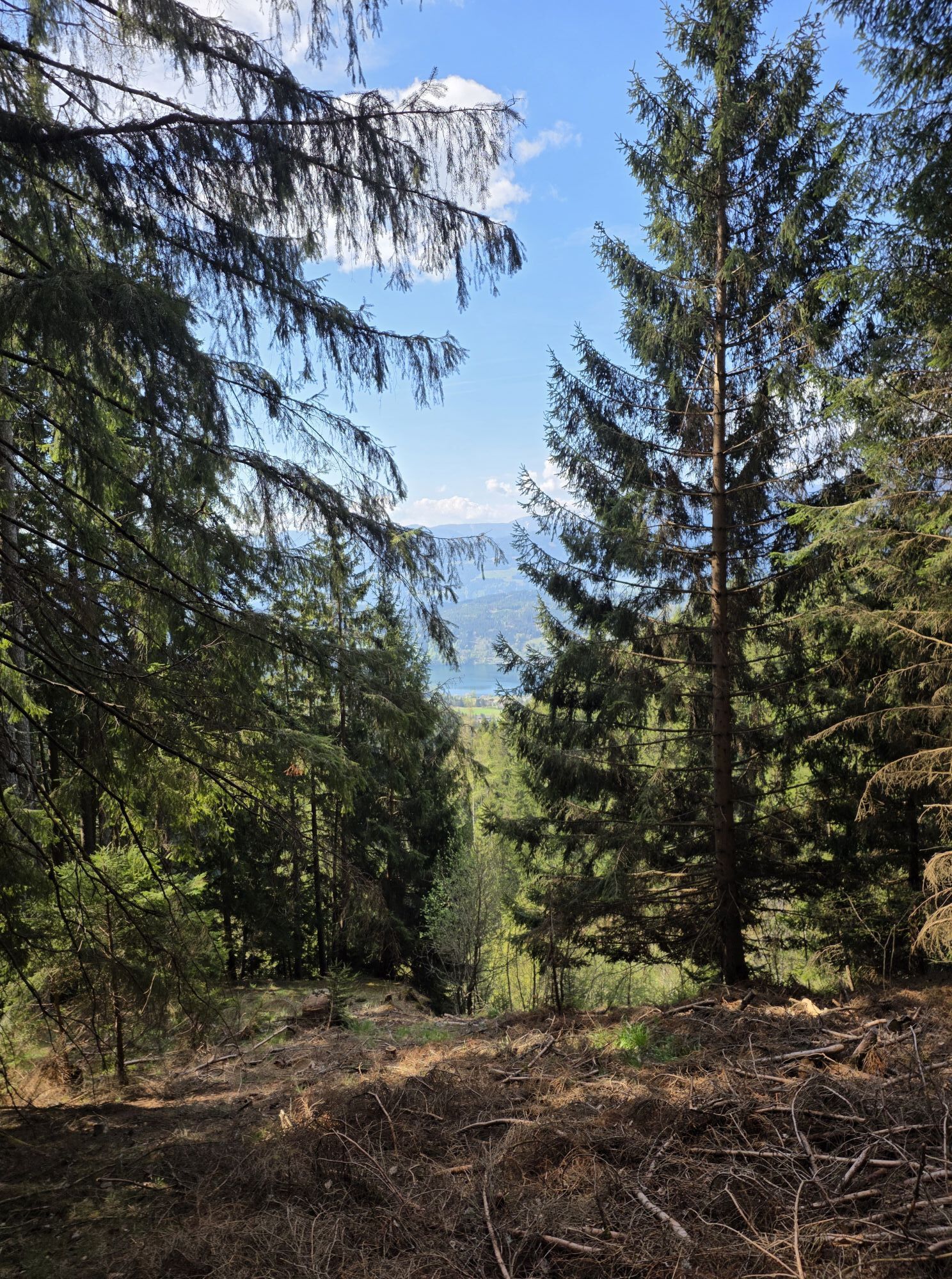
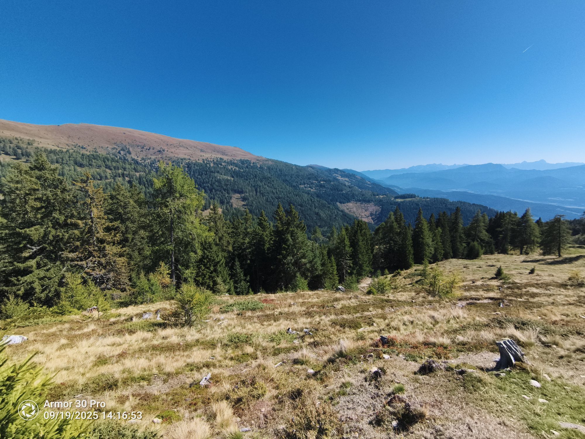
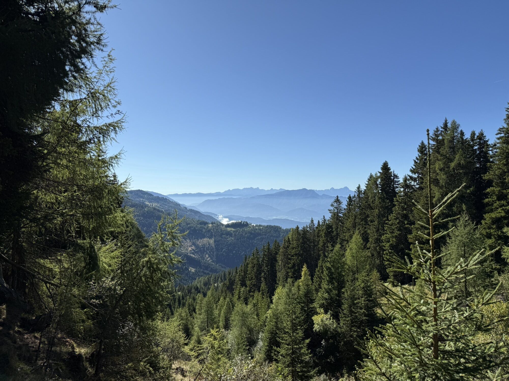
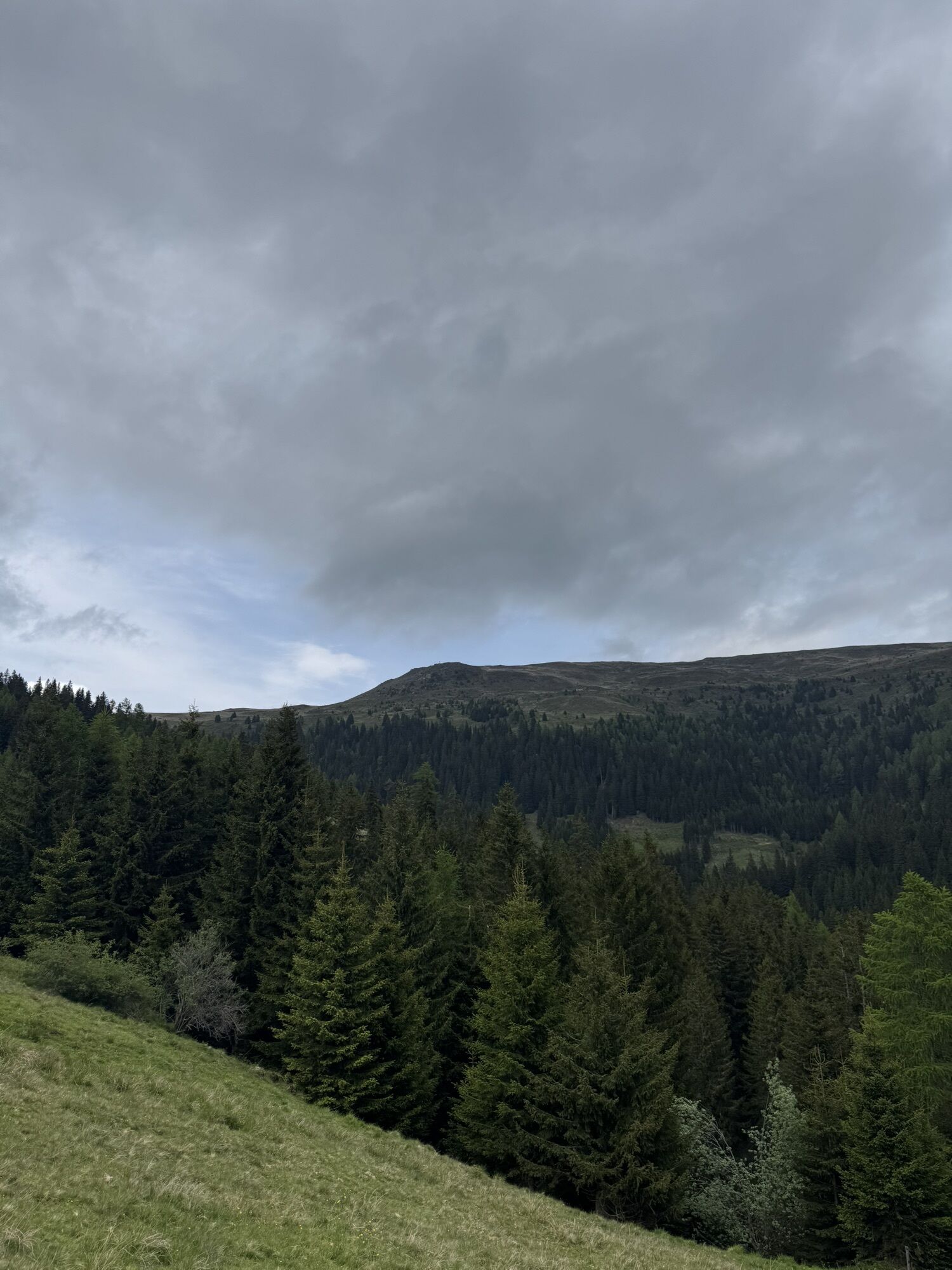
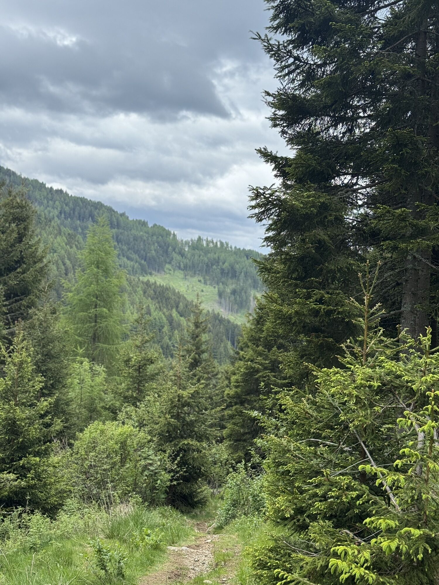
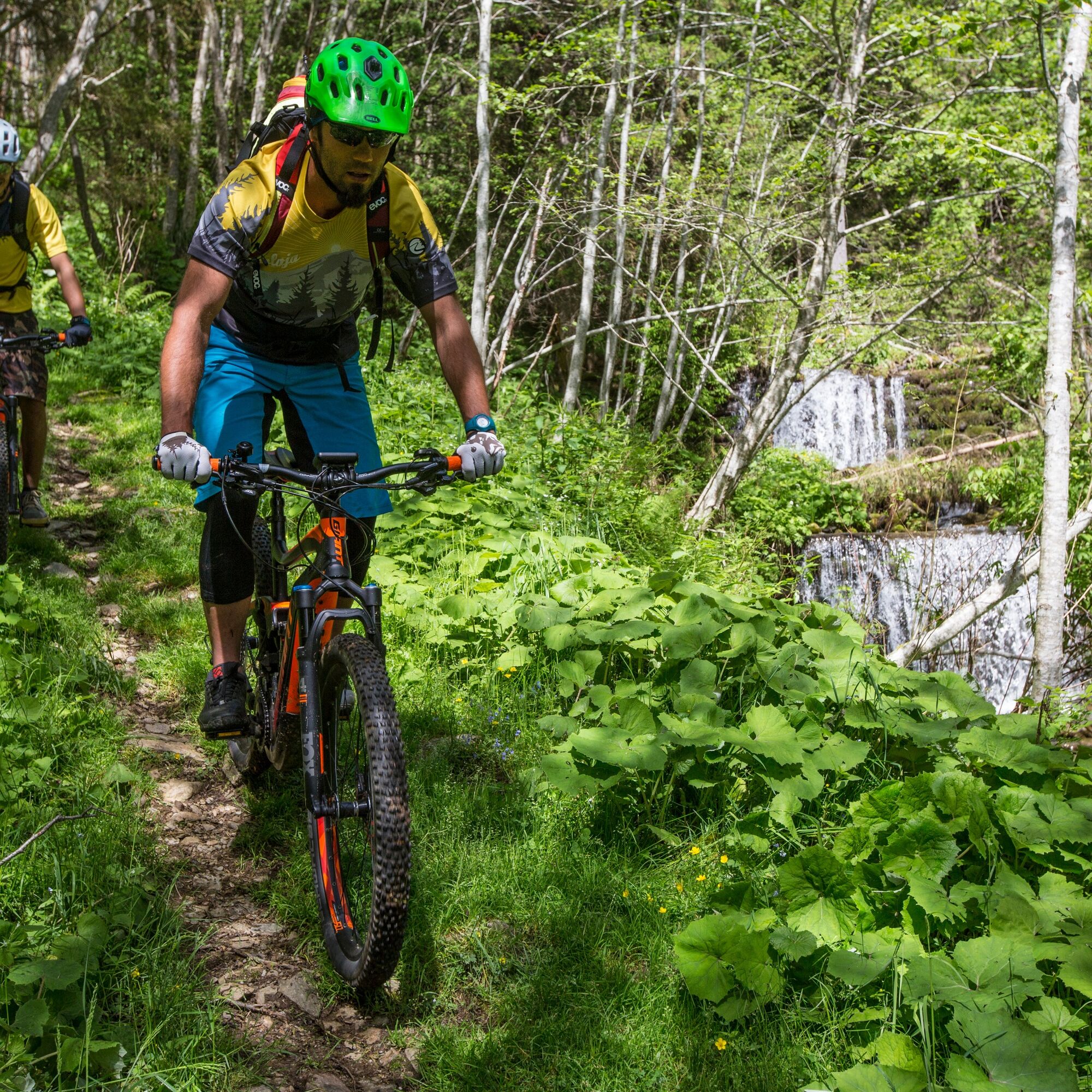
Lively descent on an old alpine path. Partly very flowing – but in places also somewhat rougher, technically more challenging sections. From the hairpin bend below the Schwaiger Hut, the path follows the...
Lively descent on an old alpine path. Partly very flowing – but in places also somewhat rougher, technically more challenging sections. From the hairpin bend below the Schwaiger Hut, the path follows the Millstätter Alm toll road for a short distance.
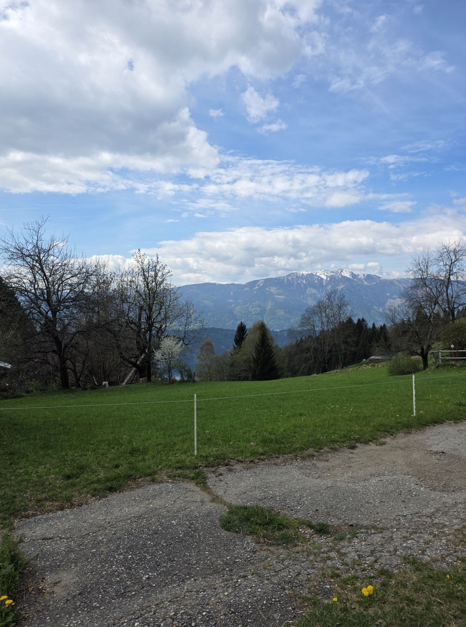
An absolute pleasure for lovers of natural trails.
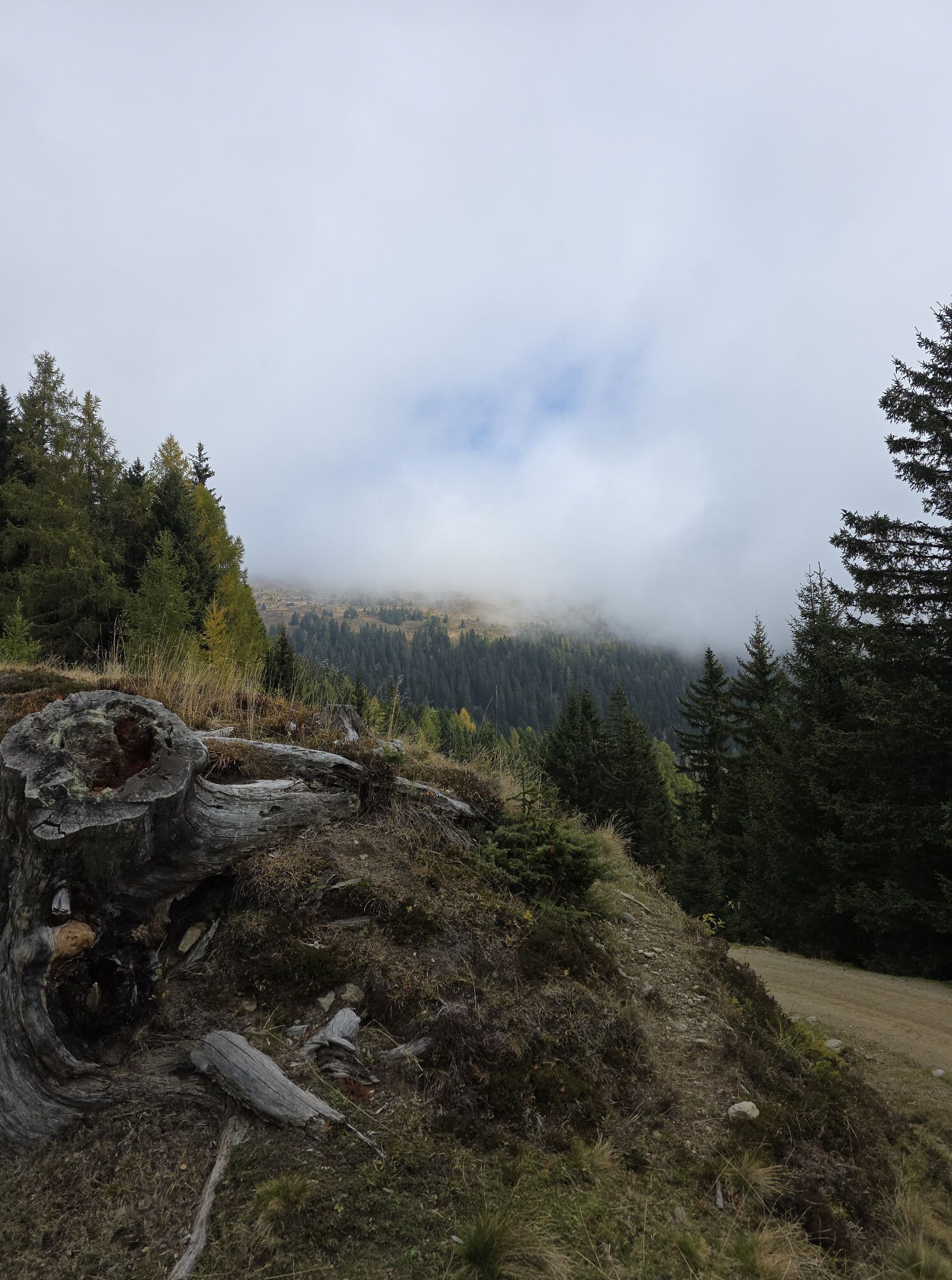
Start: Old Almweg below the Millstätter Hut (1,625 m)
Destination: Schwaigerschaft (850 m)
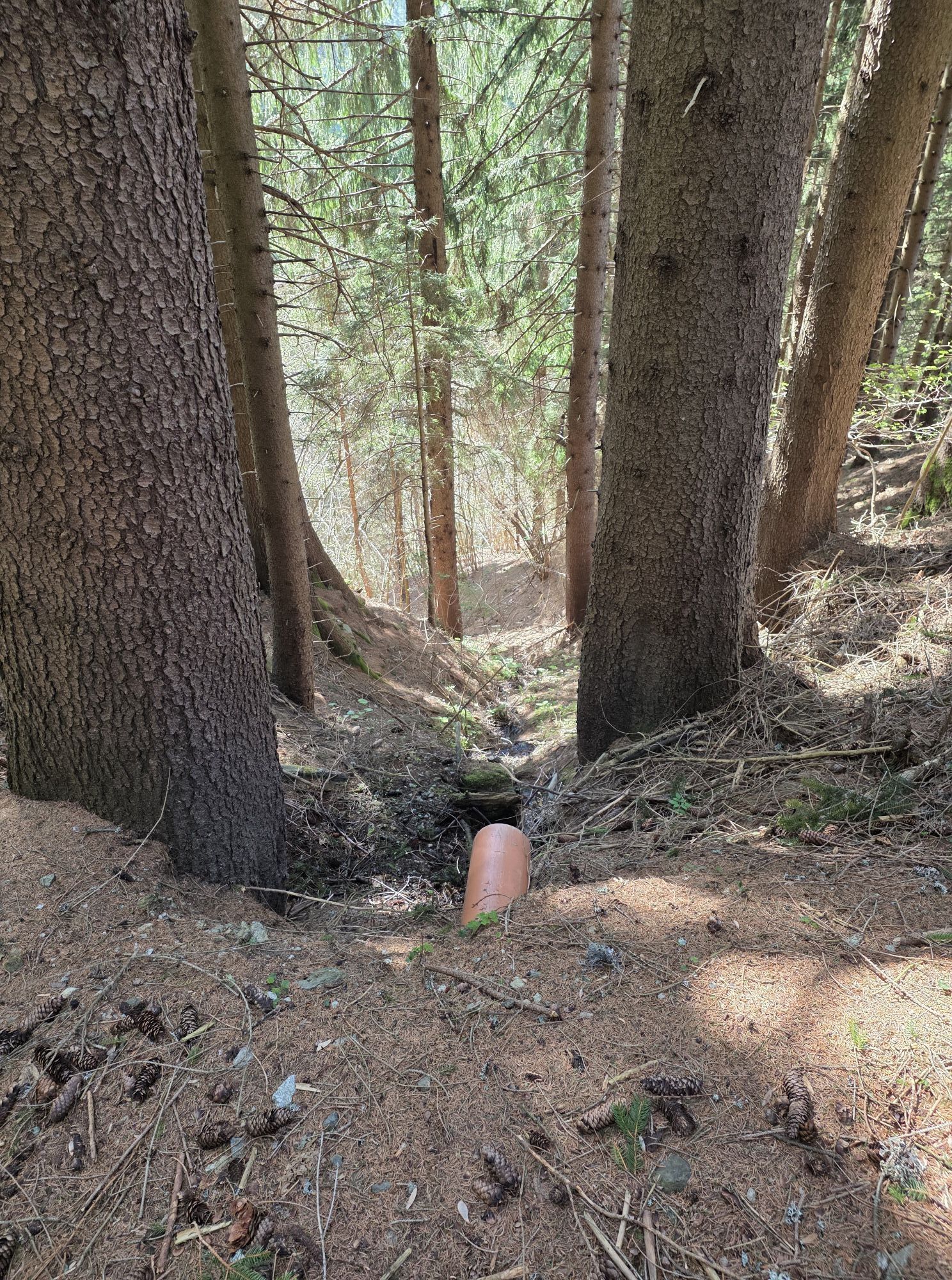
The entry is above the Schwaiger Hut and leads down to Schwaigerschaft over an old alpine path with rocky and partly rooty sections.
There are service stations with tools and pumps at the Schwaiger Hut, the Millstätter Hut, and the Alexander Alm.
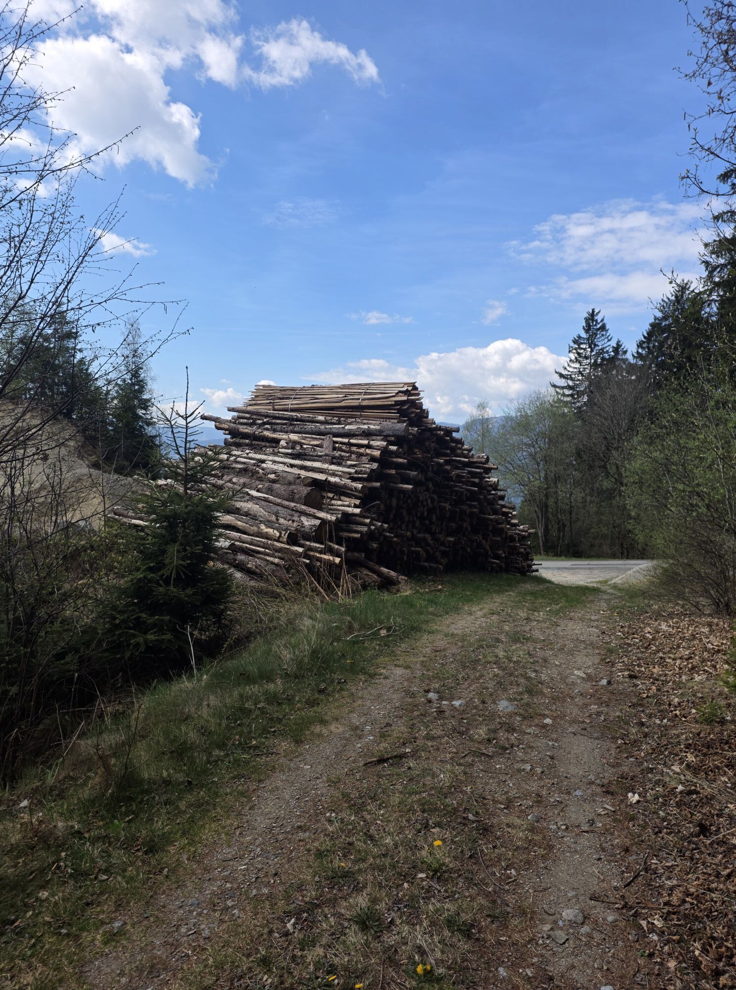
The route partly follows public roads and paths. Watch out for car traffic and observe the traffic regulations (StVO).
For your own safety, obey barriers and no-entry signs – the forest and our alpine pastures are workplaces and habitats. Follow the signs and stay on the marked path – no shortcuts. Ride gently and controlled – stay in your comfort zone and ride at half visibility. Shortcuts, shredding, and locked rear wheels damage the trail and the image of mountain bikers. Be mindful of nature, plants, and wildlife, and finish your route before dusk. Close pasture gates and doors behind you – “Last cow closes the gate.” Be friendly, respect other path users and give way to hikers if necessary. Uphill riders have right of way. Leave no traces in nature and no litter. Traffic regulations apply on forest roads and alpine paths.Emergency numbers:
140 Alpine emergency
144 Rescue emergency
112 European emergency number (works on all networks. Turn off your mobile phone and after turning it on again, dial "112" instead of the PIN)
Option 1: By mountain bike via the Millstätter Alm Route No.49 from Radenthein via the Bergwerksgraben and the Nöringsattel.
Option 2: By mountain bike via the Three Huts Route No.48 via Tschierweg on the Millstätter Alm road to the Millstätter Alm.
Option 3: By car via Millstatt am See, towards Tschierweg and via the toll Millstätter Alm road (€ 6,-- per car) to the Schwaiger Hut on the Millstätter Alm.
Public parking at the Schwaiger Hut is free of charge.
Paid parking in Millstatt am See opposite Billa.
S2
More information about biking in our region:
Region Lake Millstatt - Bad Kleinkirchheim - Nockberge
+43 (0) 4766-3700-0
Lake Millstatt: www.millstaettersee.com/radfahren
Bad Kleinkirchheim: www.badkleinkirchheim.com
Nockbike: www.nockbike.at
Combination of the route with the Three Huts Route or the Millstätter Alm Route including a stop at one of the three huts on the Millstätter Alm.
Oblíbené prohlídky v okolí
- 4,9
Nockbergrundwanderweg
středníTuristika 6,62 km - 4,8
Enzian-Granatsteig & Almbrunn Steig
světloTuristika 8 km - 4,7
Millstätter See cycle track
středníJízda na kole 27,7 km - 4,8
Große Rosennock Runde
Turistika 9,80 km - 4,8
St. Oswald - Circular hike - Mallnock - Klomnock
středníTuristika 10,9 km - 4,7
H-2-O Höhenweg
světloTematická stezka 5,40 km - 4,7
Lammersdorfer Hütte, Granattor Runde
světloTuristika 9,85 km - 4,8
Nockhöhensteig
středníTuristika 7,67 km - 4,3
Zwergsee route Millstatt
světloTuristika 4,01 km - 4,4
Tschiernock, Hochpalfennock, Tschierwegernock, nock nock nock ... ;)
světloTuristika 10,4 km

Pěší turistika a stopování


Nenechte si ujít nabídky a inspiraci pro vaši příští dovolenou
Vaše e-mailová adresa byl přidán do poštovního seznamu.