


Dobrova route - No. 21
Easy leisure mountain bike route on side roads and forest tracks through the Dobrova.
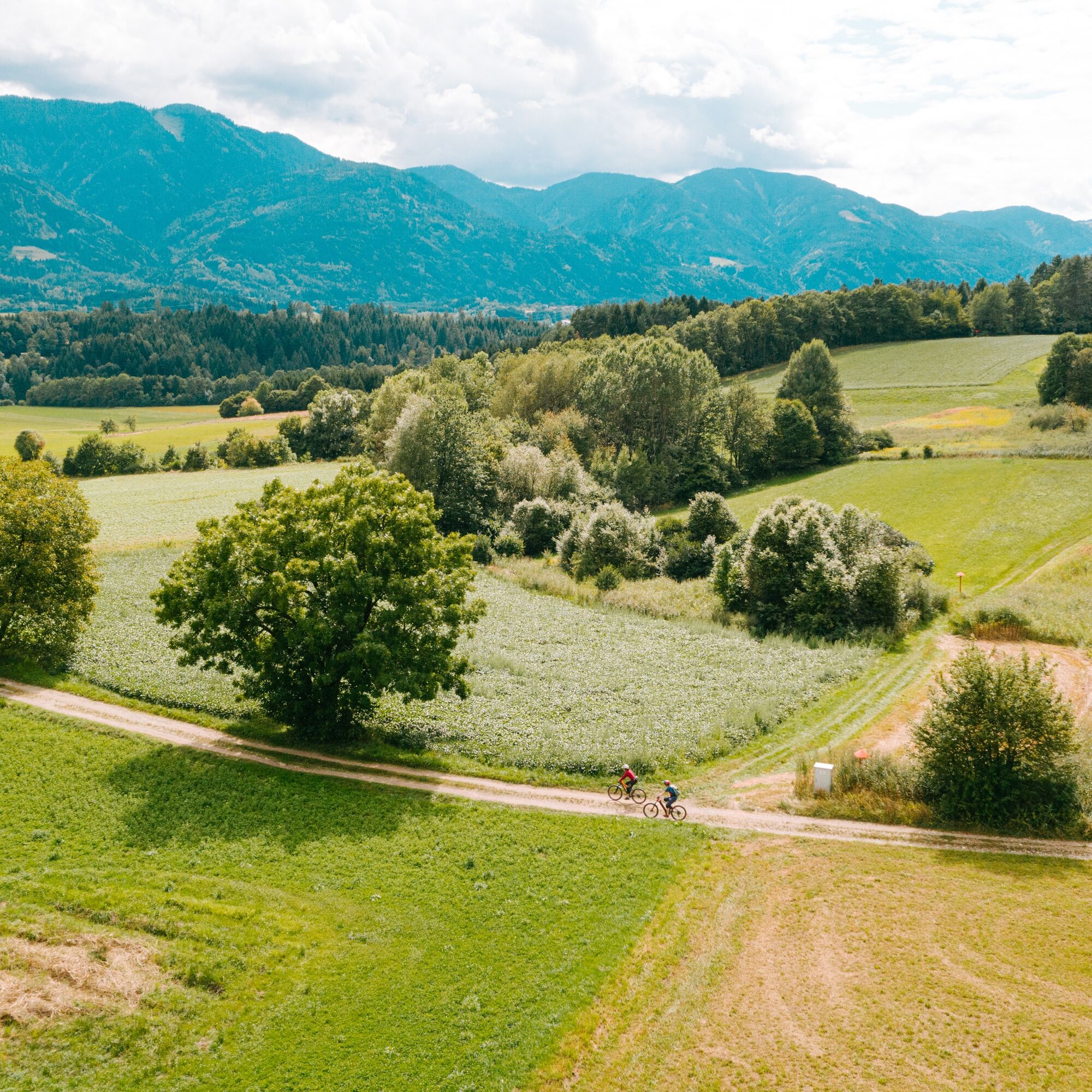
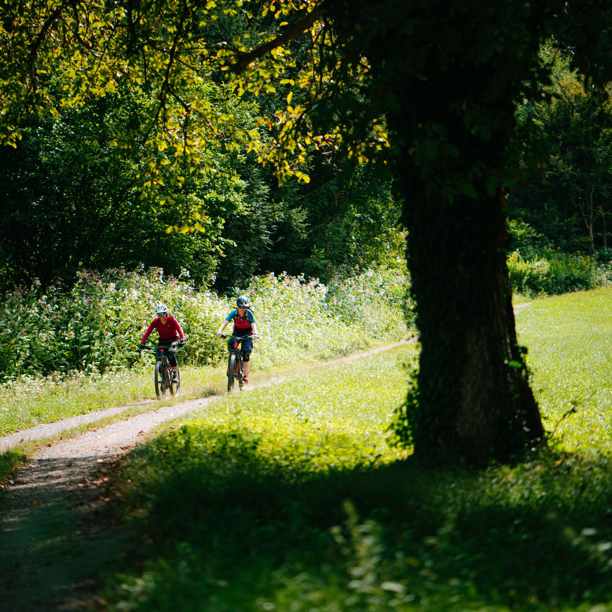
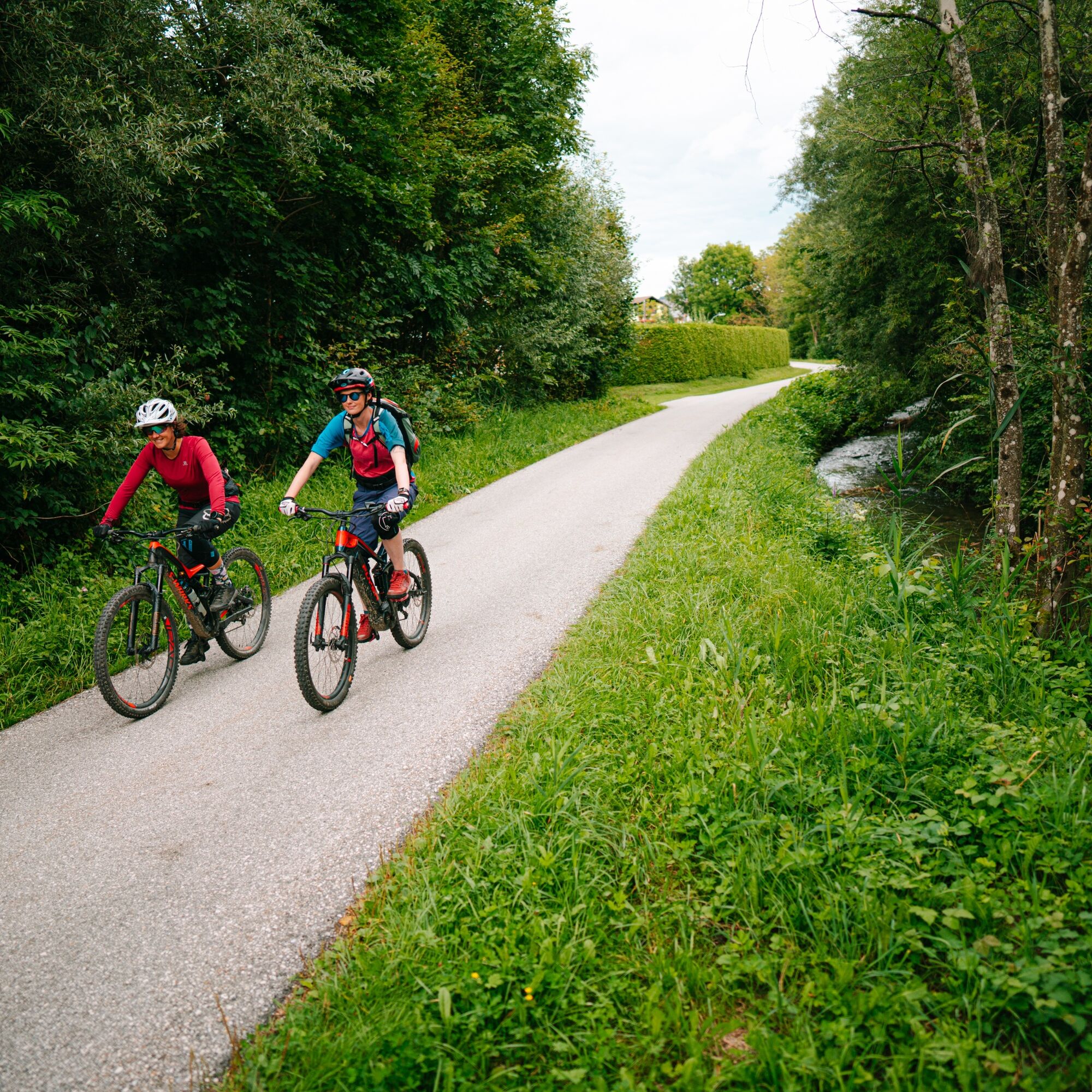
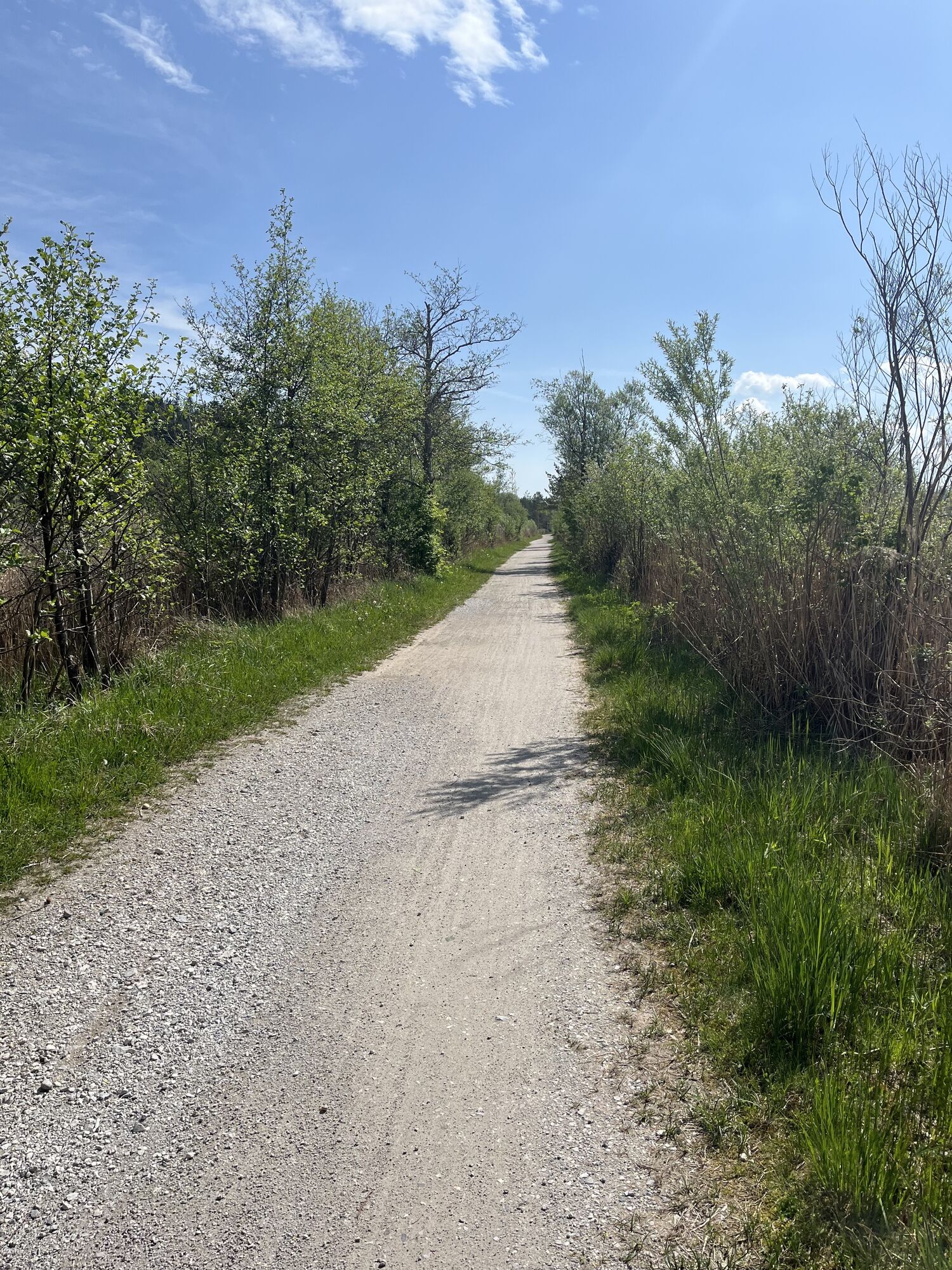
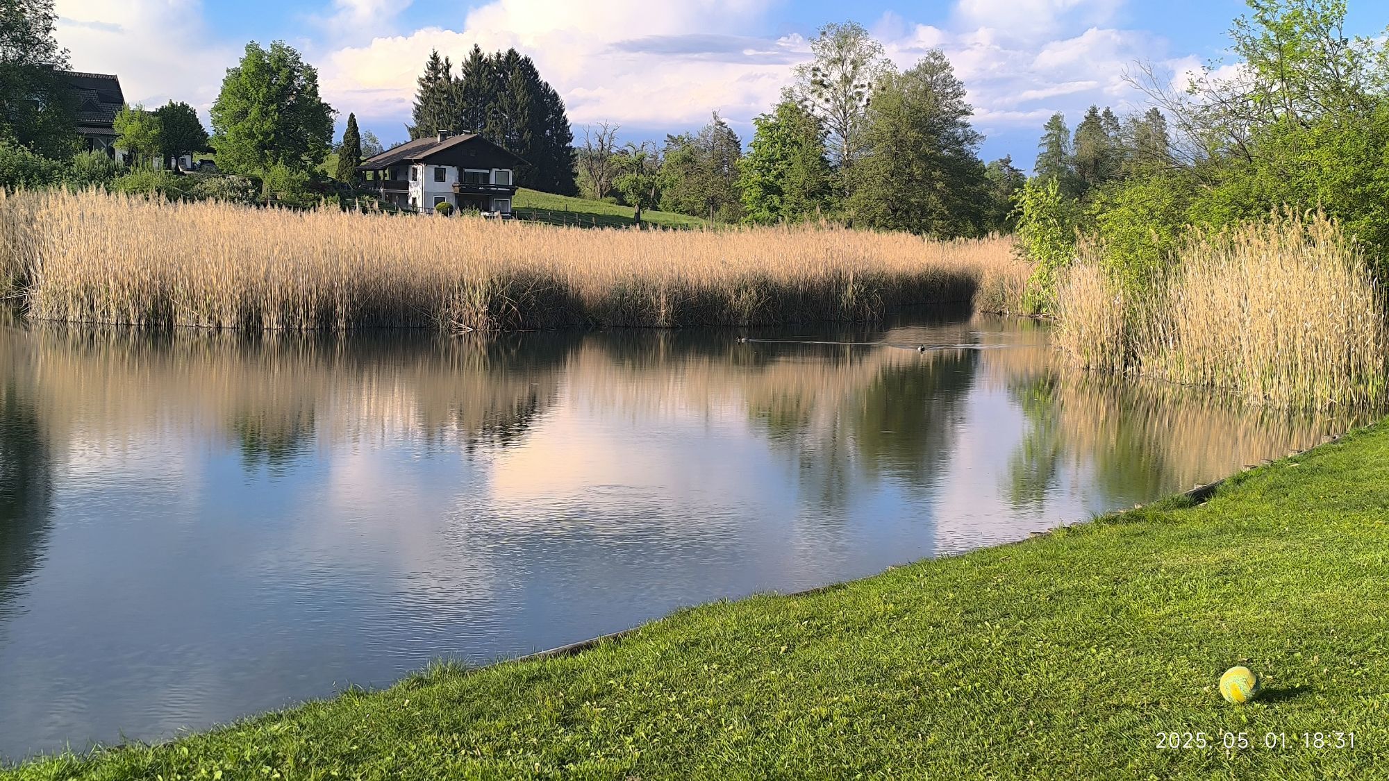
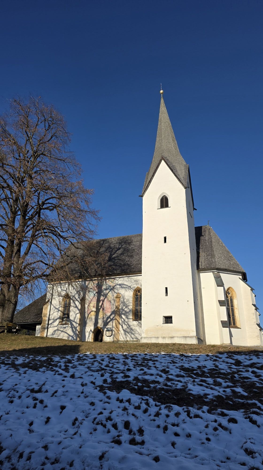
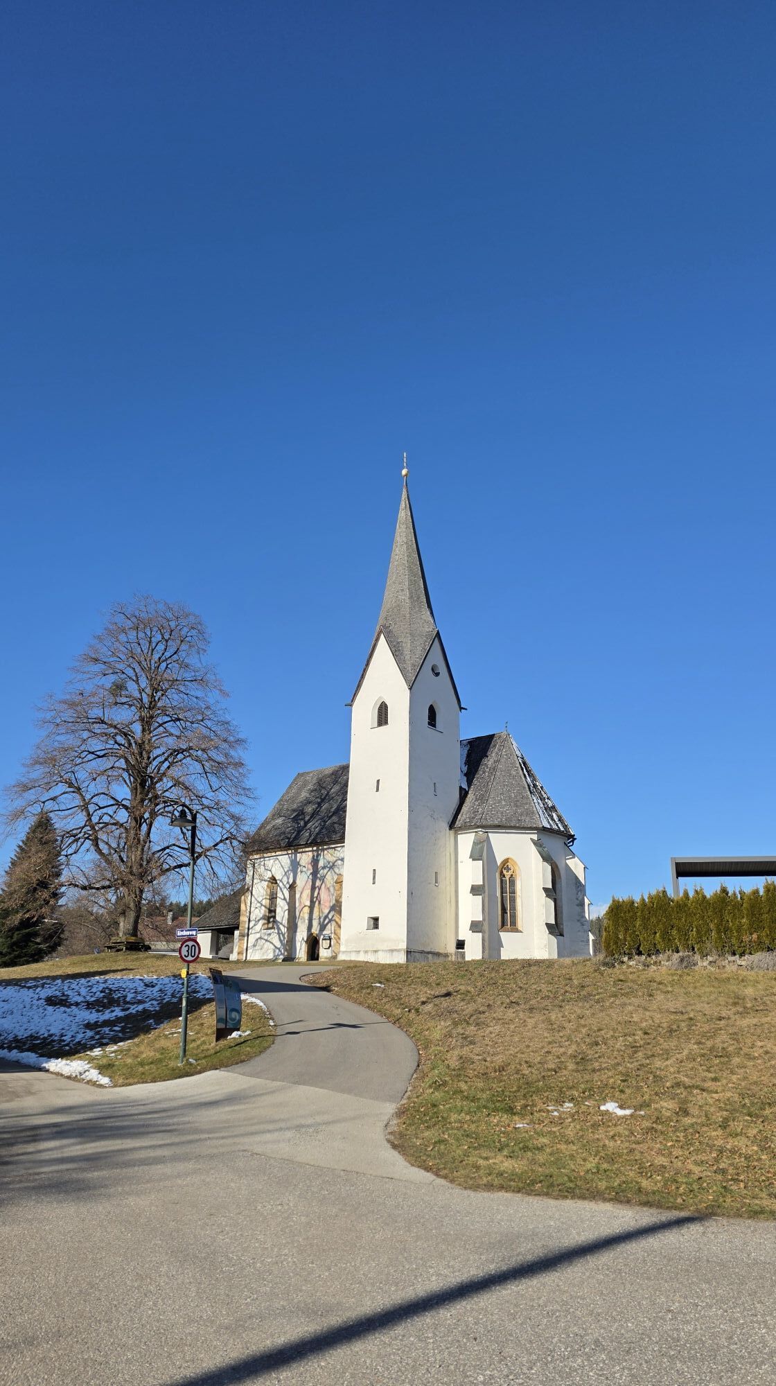
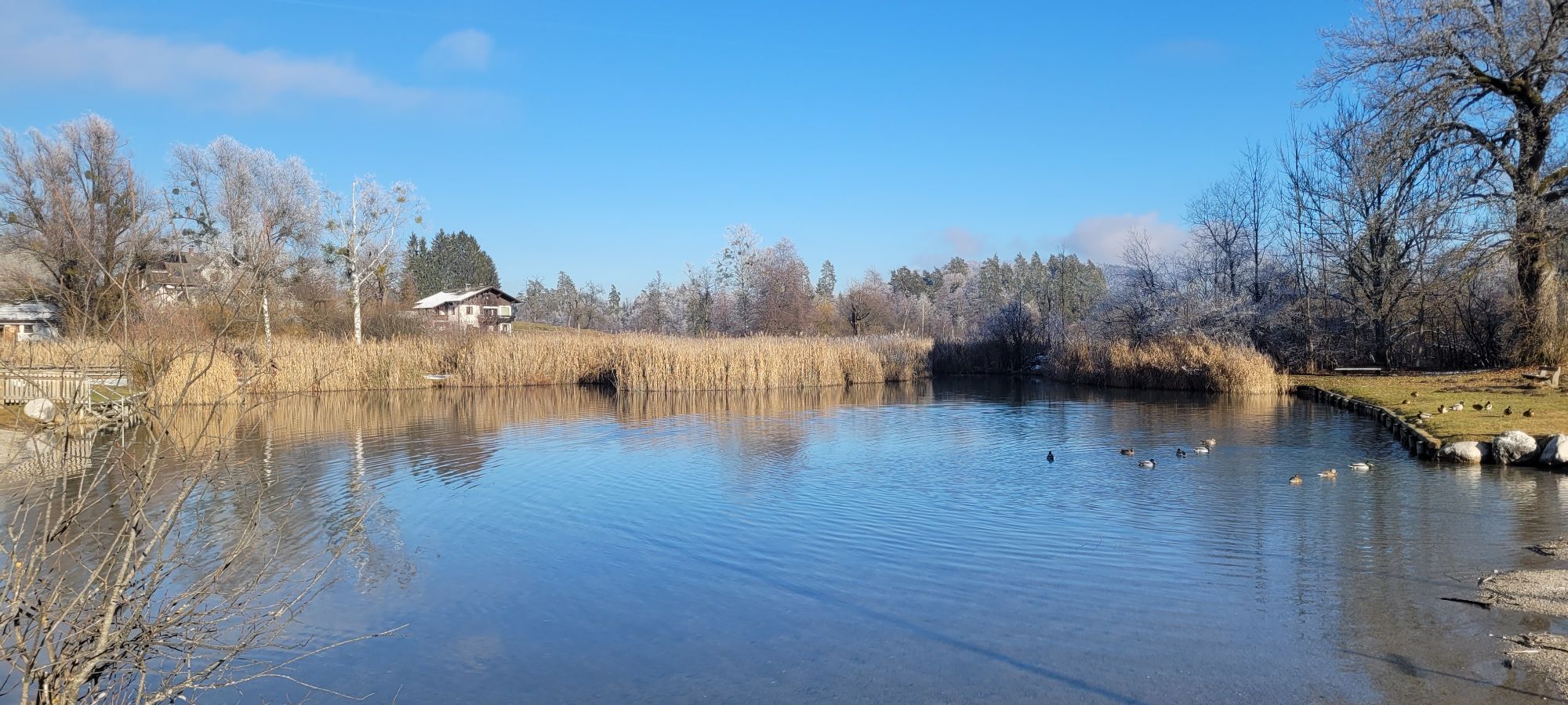
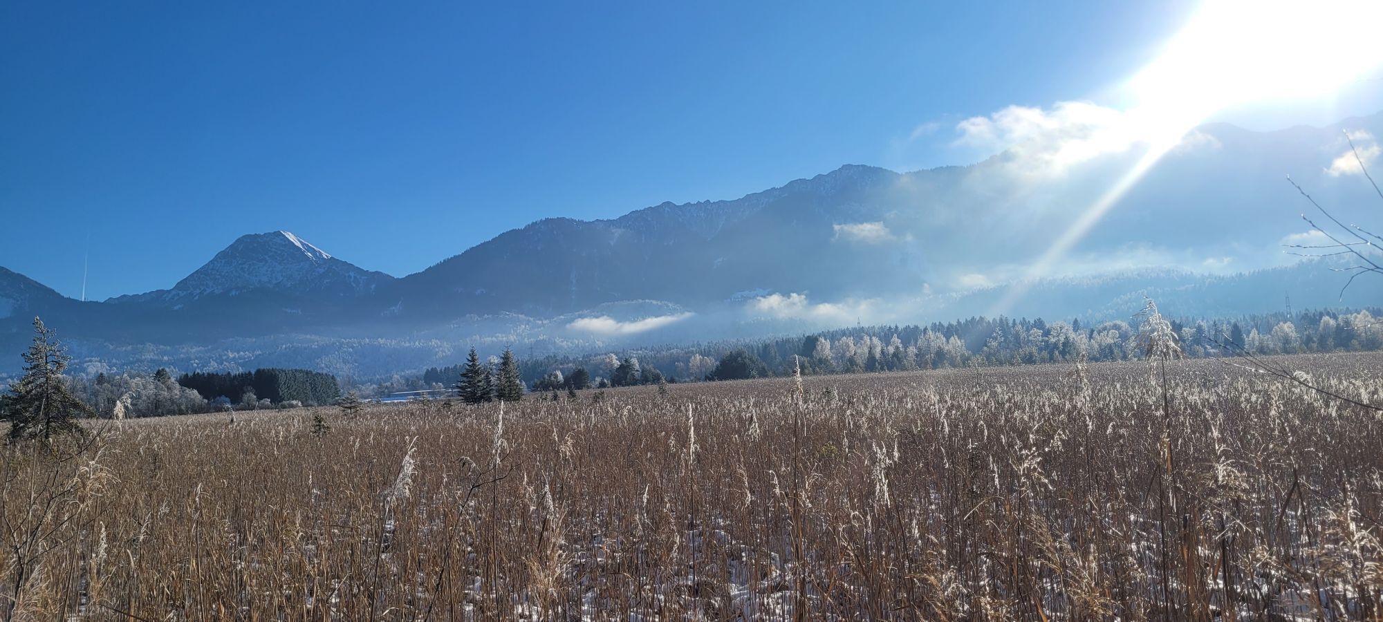
From the town centre of Faak am See, head briefly on the state road towards Drobollach. Immediately after the bridge over the Faaker Seebach, turn left and follow the paved road alongside the stream. After a few minutes, you reach the start of a large reed area. A cycling and hiking trail leads through this nature reserve and is part of the mountain bike route described here. At the end of the reed area, you reach Höfling. On the paved road, turn right, and after a few metres uphill, turn left again. Now you ride elevated with a wonderful view of the Karawanks to the west until you reach a beautiful church. Here, turn right onto Villacherweg and follow it with a gentle incline. At the next three crossroads, always keep left, leading onto a forest path past individual meadows and into the forest. At a distinctive fork, turn right at a right angle. The forest path leads downhill into a ditch to a few houses. Here turn right again and go steeply uphill for a short distance. After a few metres on the paved road, you leave it again in a sharp left curve to the right (actually straight ahead). Now back on a forest path, cycle without major altitude changes to the next houses, which lie directly by the motorway. Now back on asphalt, go a few metres parallel to the motorway, then turn right again. Passing a pizzeria, climb steeply uphill to the federal road and take the parallel road and follow it uphill. After a long curve, turn sharply right and then a few metres later turn left. At the end of the climb, go downhill, staying on the main path. The path then leads with slight altitude gain to the northwest edge of the town of Faak am See, where you finally meet the state road. After a short descent, you reach the town centre and thus the starting point of the route again.
Ano
Helmet & water bottle
From Villach via the B 83 and B 85 or via the B 84 and the L 53 to Faak am See
+43 4242 42000
Oblíbené prohlídky v okolí
- 4.5
Auf den Dobratsch mit der ganzen Familie
Turistika 8.40 km - 4.7
4 Huts route
středníTuristika 8.96 km - 4.4
Finsterbach Waterfalls - Circular route
středníTuristika 3.87 km - 4.5
Lake circular trail
světloNordic Walking 9.85 km - 4.4
Mittagskogel - Rundwanderung
heavyTuristika 14.5 km - 4.6
Rotschitza Klamm Klettersteig B/C
středníVia ferrata 3.73 km - 4.6
Baumgtn. Höhe, Mallestiger Mittags- und Schwarzkogel
heavyZimní turistika 10.7 km - 3.9
Lake Ossiacher See cycle path – R2 & R2A
středníJízda na kole 28.2 km - 4.4
Mallestiger Mittagskogel
středníTuristika 8.17 km - 4.9
Gratschenitzen Kreuz
heavyVysokohorská turistika 3 km
Pěší turistika a stopování


Nenechte si ujít nabídky a inspiraci pro vaši příští dovolenou
Vaše e-mailová adresa byl přidán do poštovního seznamu.