


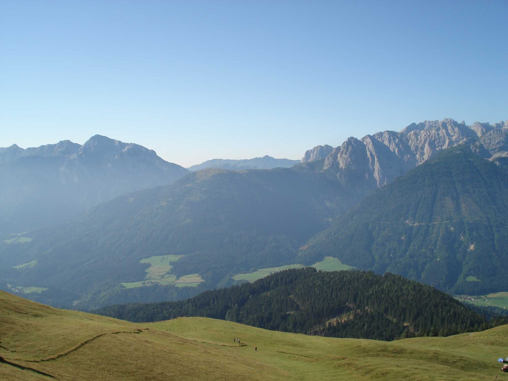
KM4 Strajach - Mussen
Don't miss this beautiful route with the picturesque, short hike to the flower paradise Mussen.

Ascent:
From the town hall in Kötschach Mauthen you first follow about 100 meters of the federal road southwards and then turn right to follow the B111 into the Lesachtal valley up to the village of Strajach.
At the fountain you turn right (at kilometer 7.3) and continue along the narrow asphalt road uphill. After about 100 meters the road turns into a gravel path.
At an altitude of 1,220 meters (at kilometer 9.7) you reach a junction where you continue right uphill (left leads downhill later to St. Jakob), until you reach the parking lot at 1,485 m altitude (at kilometer 12.1) - here the MTB route ends - from here, riding is prohibited.
Return/Descent:
The descent starts on the same path, then towards St. Jakob (turn left at kilometer 17) and later returns via the B111 to the starting point.
Ano
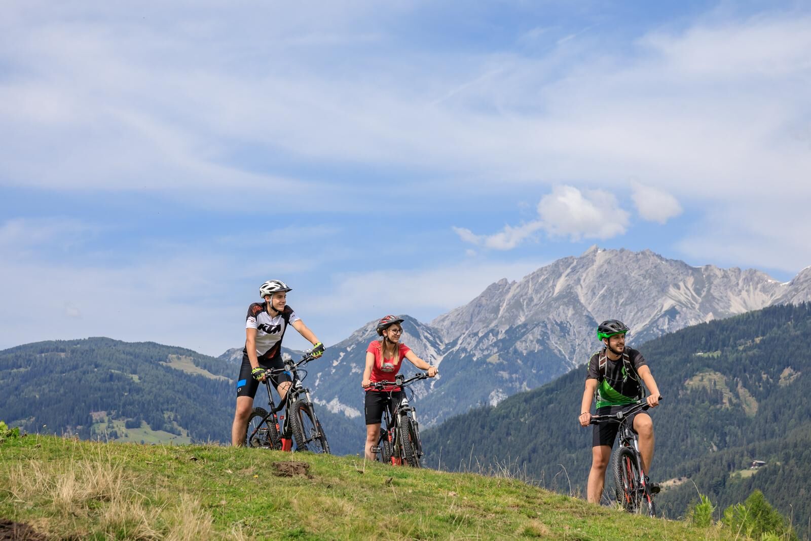
Helmet duty!!!!!!
Right clothing: Do not only adapt your clothing to the current weather conditions. Also pack warm clothing, a spare jersey and rain protection in summer, especially in the early and late seasons.
Emergency equipment: bandages, repair kit (spare hose, pump, tools), map, mobile phone and possibly GPS
ATTENTION: In the mountains reception is not guaranteed everywhere!
Take enough to drink with you and plan a stopover in good time
FAIR PLAY & RESPECT:
Awareness for nature – landowners – your health.... and safety on the mountain have top priority during your route and the associated route planning!
Therefore, inquire before each hike about the rules of conduct - Safety on the mountain - as well as the current weather conditions.
Waste disposal:
Waste is not always avoidable - but it has no place in nature and should be disposed of properly (preferably in the valley or at home).
Emergency numbers:
European emergency number: 112 (access to any available network)
Alpine emergency Austria: 140
Arrival by car:
From Hermagor via the B111 (Gailtal Road) or from Oberdrauburg via the B110 (Plöckenpass Road) to Kötschach-Mauthen.
The most sustainable travel option is by train to Oberdrauburg (coming from Lienz or Villach) or to Hermagor (coming from Villach).
From Oberdrauburg or Hermagor you can then reach the town Kötschach-Mauthen by bus.
Details at - Mobility info Nassfeld as well as Route planner Kärntner Linien
Free parking is available in Kötschach-Mauthen at the town hall.
Are you looking for bike tips in the region or a certified guide for a guided bike route?
You can find this and many other infos at - Route tips and provider info
Places to eat:
In Kötschach-Mauthen as well as in the surrounding villages there are numerous year-round open places to eat - details at Service A-Z.
Oblíbené prohlídky v okolí
- 4.5
Karnischer Höhenweg – Etappe 4: Hochweißsteinhaus – Wolayersee Hütte
heavydálková pěší trasa 15.9 km - 4.9
Pirknerklamm (C)
středníVia ferrata 2 km - 4.6
Obergail - Obergailer Alm - Obergailer Lake - Enderberg hut - Source for Health & Peace - Madonna circular hiking route - Obergail
středníTuristika 11.4 km - 4.9
Karnischer Hauptkamm - Hohe Warte 2.780m - Hike and Bike
heavyHorská turistika 19.5 km - 4.3
Mountainbiketour von der Hubertuskapelle zum Wolayersee
heavyMountainbike 9.06 km - 3.9
Summit hike to the Hochstadel
středníTuristika 7.83 km - 3.7
Cellon-Stollen und Senza Confini auf den Cellon und Steinberger Weg zum Abstieg
středníVia ferrata 7.09 km - 3.6
RW_N61 Kleiner Pal (1,867 m)
heavyTuristika 6.52 km - 4.3
WW_N18 flower paradise Mussen
středníTuristika 6.52 km - 5.0
Valentin-Wolayersee-Runde
středníTuristika 12.4 km

Pěší turistika a stopování


Nenechte si ujít nabídky a inspiraci pro vaši příští dovolenou
Vaše e-mailová adresa byl přidán do poštovního seznamu.