


Sansily Trail - T72
Úroveň obtížnosti: S1
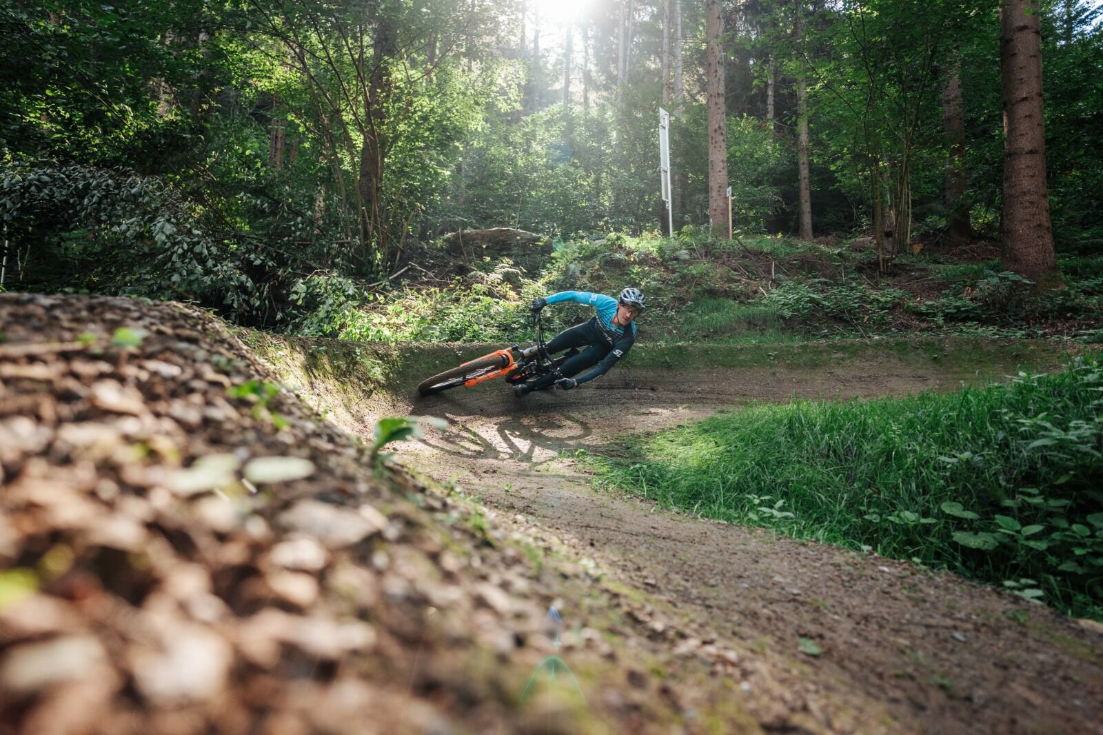
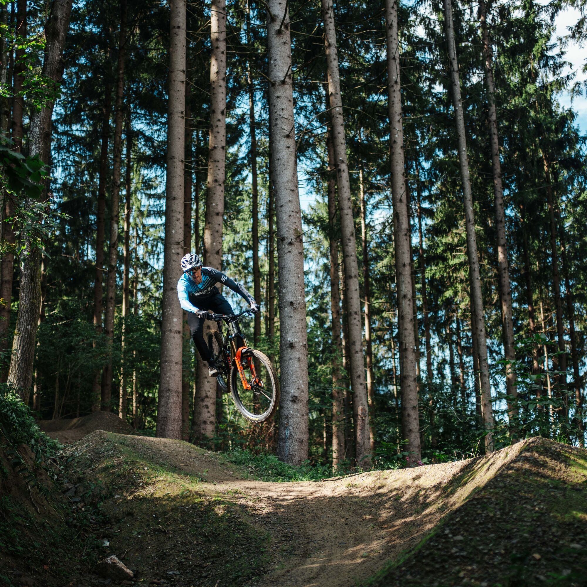
The Sansily Trail - T72 is a mountain bike singletrail for beginners but also brings a lot of fun to more advanced riders. It is characterized by its flowing design and especially playful trail sections....
The Sansily Trail - T72 is a mountain bike singletrail for beginners but also brings a lot of fun to more advanced riders. It is characterized by its flowing design and especially playful trail sections. The trail itself is about 0.9 km long and divided into three sections. The trail entry can be reached either via MTB route 12 and the Van Duren Trail - T71 (somewhat easier) or via MTB route 14 (very steep and better suited for e-bikes).

The Sansily Trail – T72 starts above the district of Ostriach directly in the forest and ends in MTB route 14.
Access start
To get to the Sansily Trail – T72, it is best to start from one of the parking lots in the center of Ossiach. From the parking lot in front of the town hall, all transfer routes (feeders) to the trails are also signposted.
Description of access to the trail entry:
General part of the access
Starting from the town hall in Ossiach, first go towards the main road (L49). At the junction with the L49, turn right and follow cycle path R2A for about 1.5 km westwards. At the entrance to Camping Köbl, you can now choose between a very steep ascent, which is more suitable for e-bikes, and a normal ascent.
Option 1: The somewhat easier ascent via MTB route 12
From the entrance of Camping Köbl, follow cycle path R2A for one kilometer. Along the cycle path you will find an MTB sign pointing left for MTB routes 12 and 13. Here turn left over L49 and follow the beginning forest road upward. Caution when crossing the main road! Simply follow the signs for MTB route 12 until you reach a sign saying "Transfer – Van Durren Trail". Here turn left. Caution! The first section downhill is a bit steeper. If you don’t trust yourself, you should push your bike for the first few meters. From here it is only a few meters to the trail entry of Van Durren Trail - T71. You can either ride over the Van Durren Trail to the Sansily Trail (recommended) or continue straight ahead along the tractor path to the next intersection, which you cross straight on. After a short steeper section, the entrance to the Sansily Trail - T72 appears on the left side.
Option 2: The very steep and difficult ascent via MTB route 14
From the entrance of Camping Köbl, turn left over L49 (caution when crossing the main road!) and follow the paved road upwards until you reach the start sign of the "Challenger Route – 14". Here turn right onto the forest road and follow the very steep forest road and the signs of route 14 until you reach the trail entry. Tip: As a bonus, you can also ride the Van Durren Trail - T71 first.
Sansily Trail - T72
Once at the trail entrance, simply follow the trail route and signs to the forest road.
From there, you can reach the asphalt road via a short steep descent. You can either return to the starting point from here or briefly turn right to reach the Cody Trail, which leads directly down to the valley.
Riding the trail is only permitted with the necessary protective equipment (helmet, glasses, gloves, protectors, and suitable shoes) and a mountain bike appropriate for this type of use!
Additionally, a working mobile phone for emergency calls and, of course, for taking photos, a first aid kit, sufficient fluids, and a second suitable person to ride the trail with are recommended.
Similar to ski slopes and hiking trails, authorized mountain bike trails and mountain bike singletrails are classified by difficulty level. Essentially, slope conditions, hazards, and trail condition determine classification into very easy, easy, medium difficult, and difficult routes.
It is recommended to start with the very easy level (green) and to inspect every mountain bike trail well in advance.
Riding the trail is only permitted with the necessary protective equipment (helmet, glasses, gloves, protectors, and suitable shoes) and a mountain bike appropriate for this type of use!
Definition of trail difficulty:
The marking color blue stands for easy!
Who is this trail suitable for and what riding skills are needed?
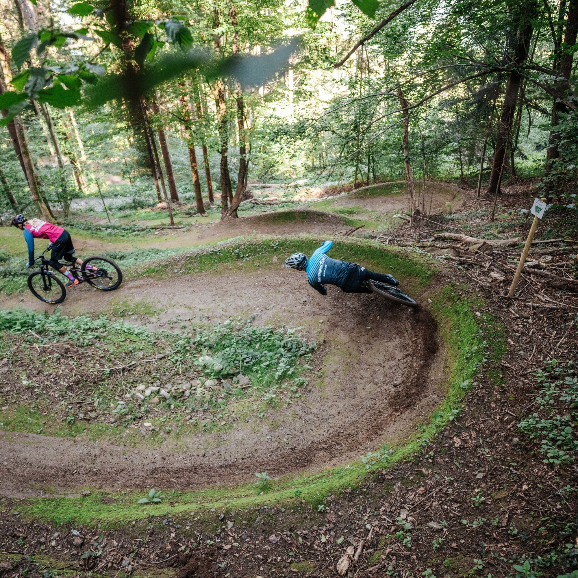
For trail beginners and advanced riders! Advanced mountain bike riding skills required: Good balance, weight shifting to overcome obstacles, step riding, secure cornering and braking techniques, possibly jump technique and trail experience required.
Hazards:
Falls from greater height into relatively natural terrain possible, rare risks of falling off.
Trail surface:
Uneven surface, grippy ground with occasional roots or larger stones.
Obstacles:
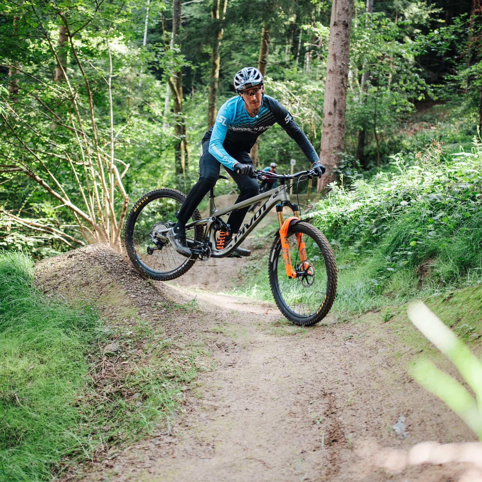
Small drops and jumps.
Slope:
Flat. Average below 12%. Steepest section around 30%.
Turns:
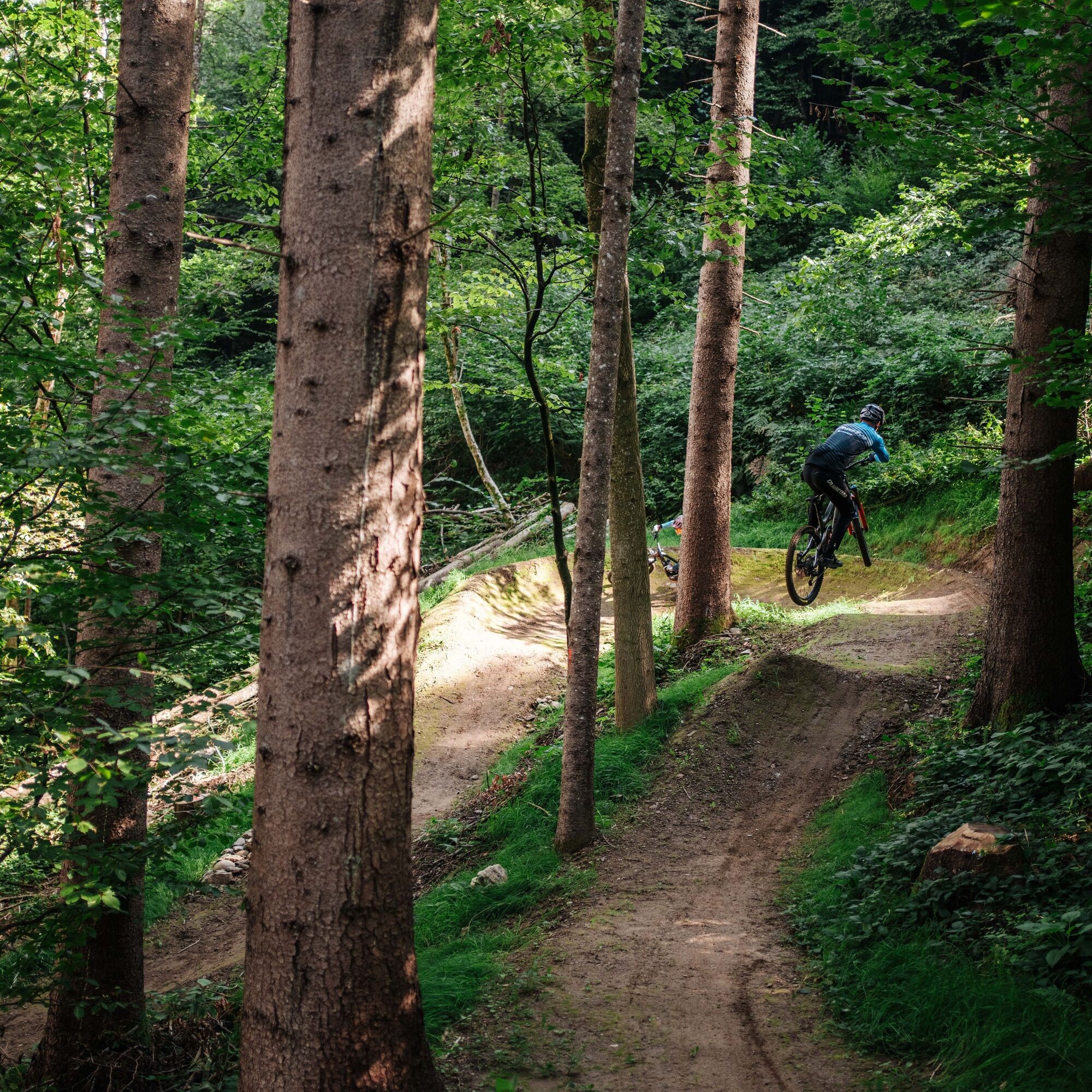
Tight but rideable with longer flat turn-out sections. Some artificial steep turns on flow trails.
Trail width:
Narrow. At least 0.6m.
Jumps:
Rideable, safe main line. Variants possible for experienced riders.
From Villach via L49 to Ossiach.
Ossiach is regularly accessible by public transport.
Here is the timetable information.
In Ossiach there are a variety of parking lots available. These are charged during the summer months.
All routes are signposted from the parking lot in the center next to the Ossiach town hall.
S1
Detailed information about the route can be found on www.lake.bike
Before you pedal to the entry of the Sansily Trail, first ride the Miki and Mini Trails as well as the Cody Trail. Only when you can ride these safely does the descent on the Sansily Trail really become fun.
Oblíbené prohlídky v okolí
-
5.0
Wörthersee EXTREM
heavyTuristika 60.1 km -
4.5
Pyramidenkogel path Maria Wörth
středníTuristika 10.8 km -
4.4
Finsterbach Waterfalls - Circular route
středníTuristika 3.87 km -
4.2
Slow Trail Bleistätter Moor (Variant A)
světloTuristika 7.22 km -
4.2
Cycling around Lake Wörthersee – leisurely cycling between turquoise blue water and fantastic views
středníJízda na kole 48.2 km -
4.9
4 Huts Route
středníTuristika 8.96 km -
3.9
Lake Wörthersee Circular Route
středníJízda na kole 41.2 km -
3.8
Lake Ossiach cycle path - R2 and R2A
středníJízda na kole 28.2 km -
4.3
Lake circular trail
světloNordic Walking 9.85 km -
4.6
Hoher Gallin route
středníTuristika 7.09 km
Pěší turistika a stopování


Nenechte si ujít nabídky a inspiraci pro vaši příští dovolenou
Vaše e-mailová adresa byl přidán do poštovního seznamu.