


Adrijaničeva heart trail from Šmarješke Toplice to Otočec
The starting point of the route is the parking lot of Hotel Šmarješke Toplice, it follows forest paths past the village of Lutrško selo, winds under the route of the new highway and ends at the parking...
The starting point of the route is the parking lot of Hotel Šmarješke Toplice, it follows forest paths past the village of Lutrško selo, winds under the route of the new highway and ends at the parking lot of Hotel OtoÄec. It is 4.7 km long, the height difference is 90 m. The route mainly goes through the forest on a gravel road and a forest track. The last part of the route winds through cornfields to the finish.
Every year, the trail is the scene of the March for the Heart, which is the most popular event of its kind in Dolenjska.

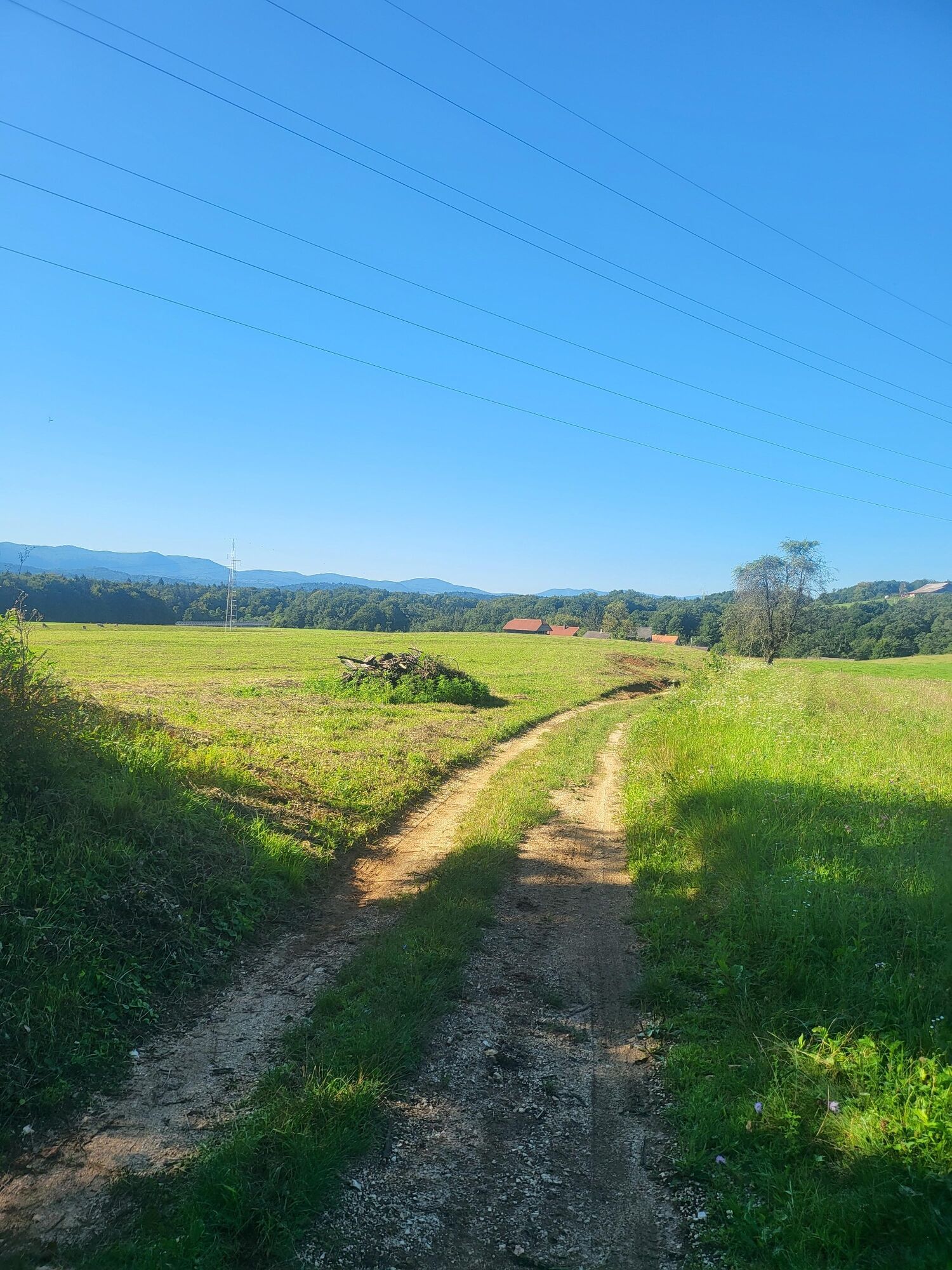
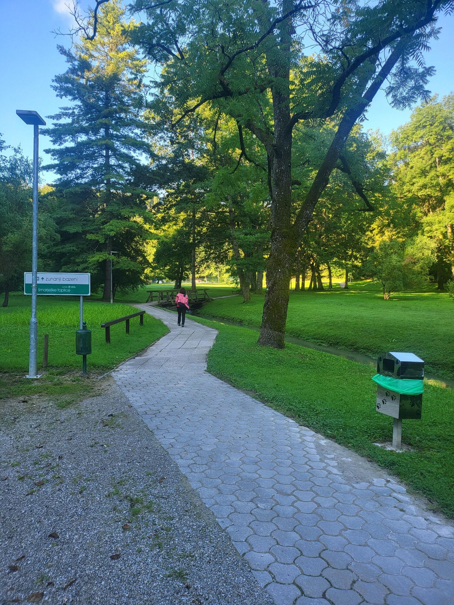
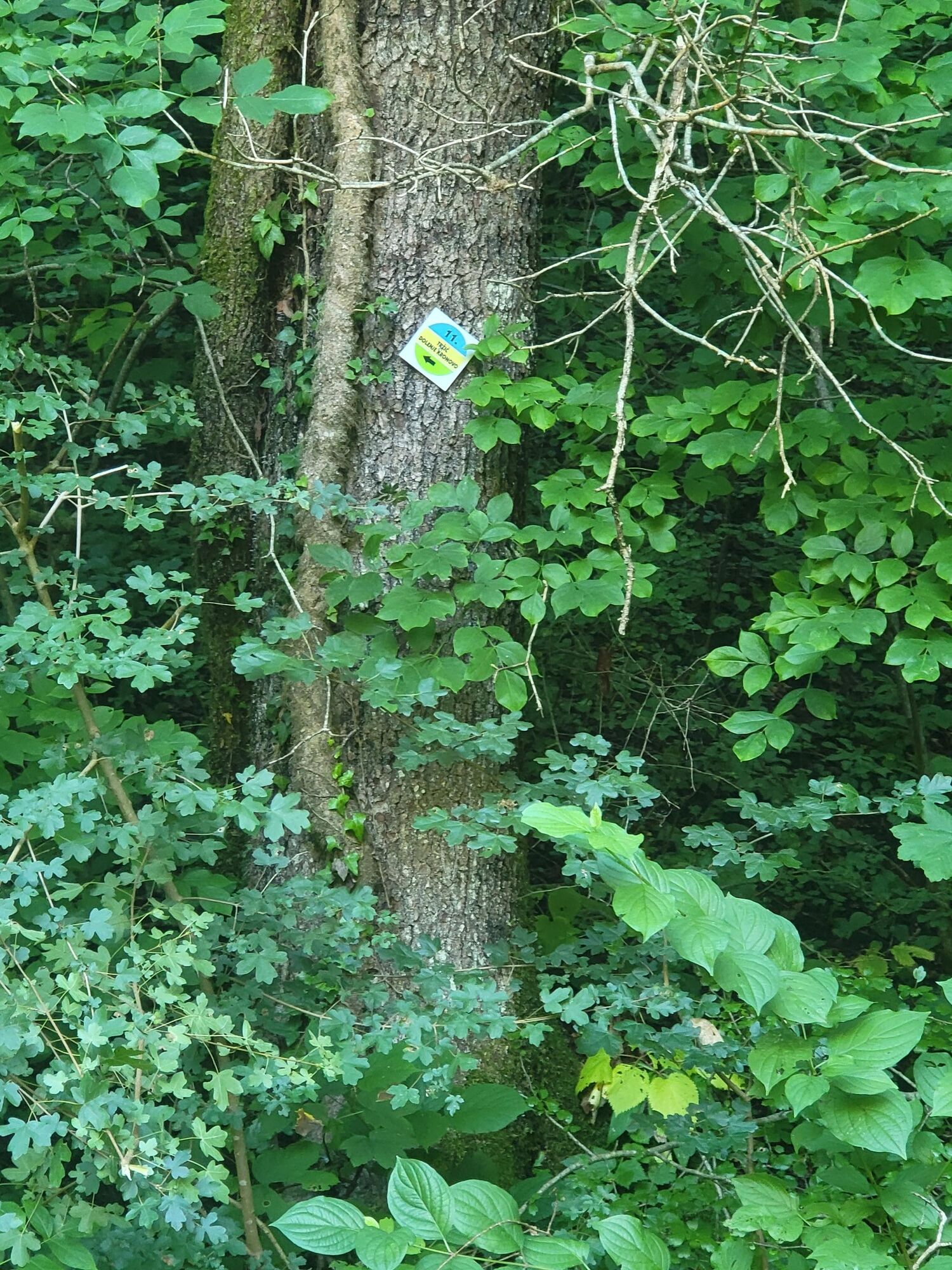
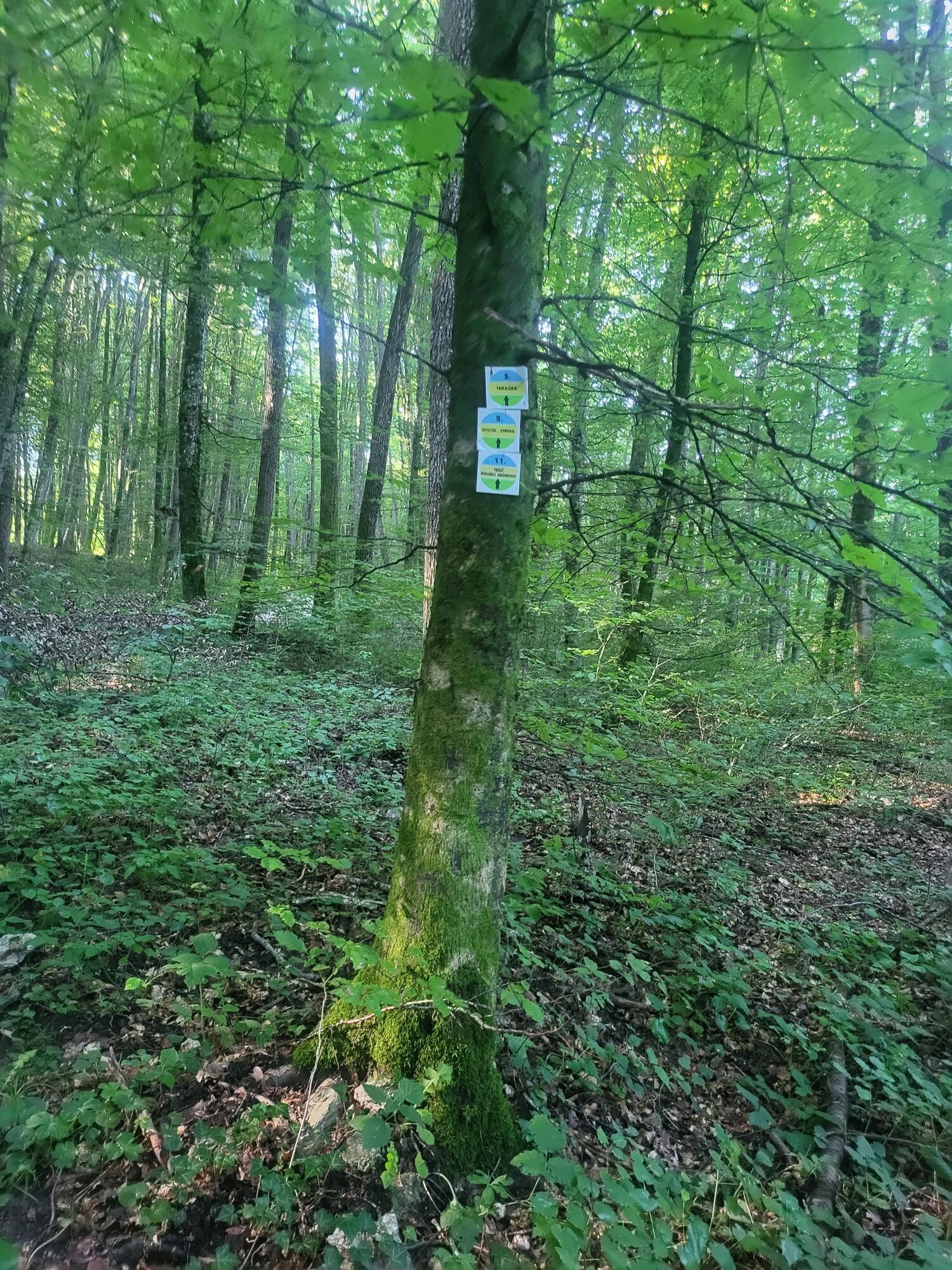
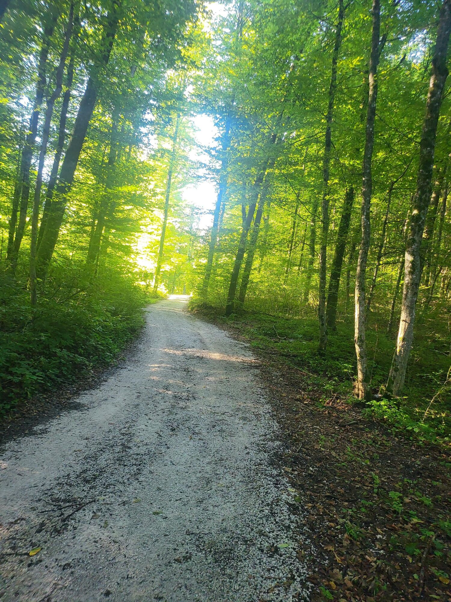
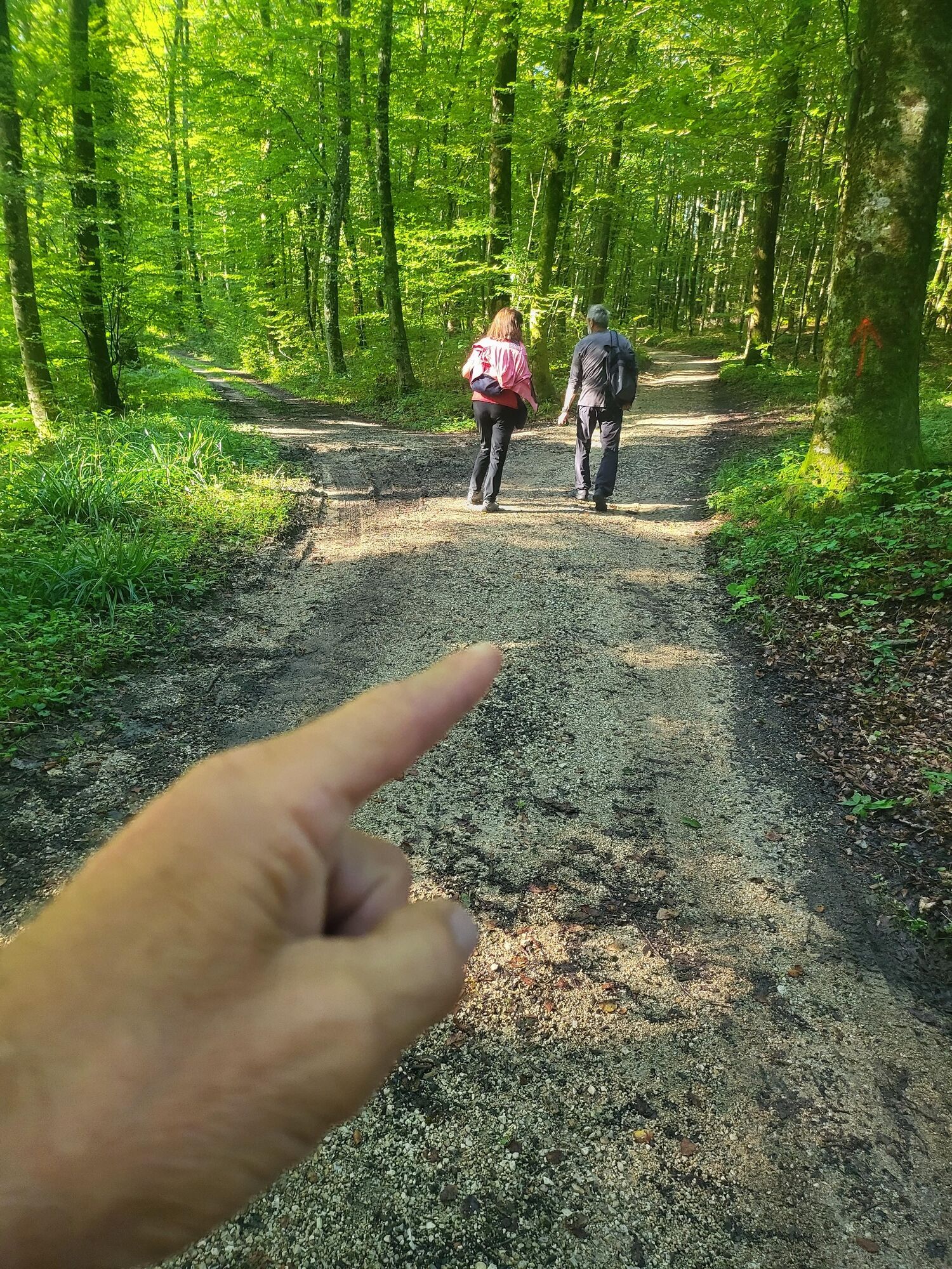
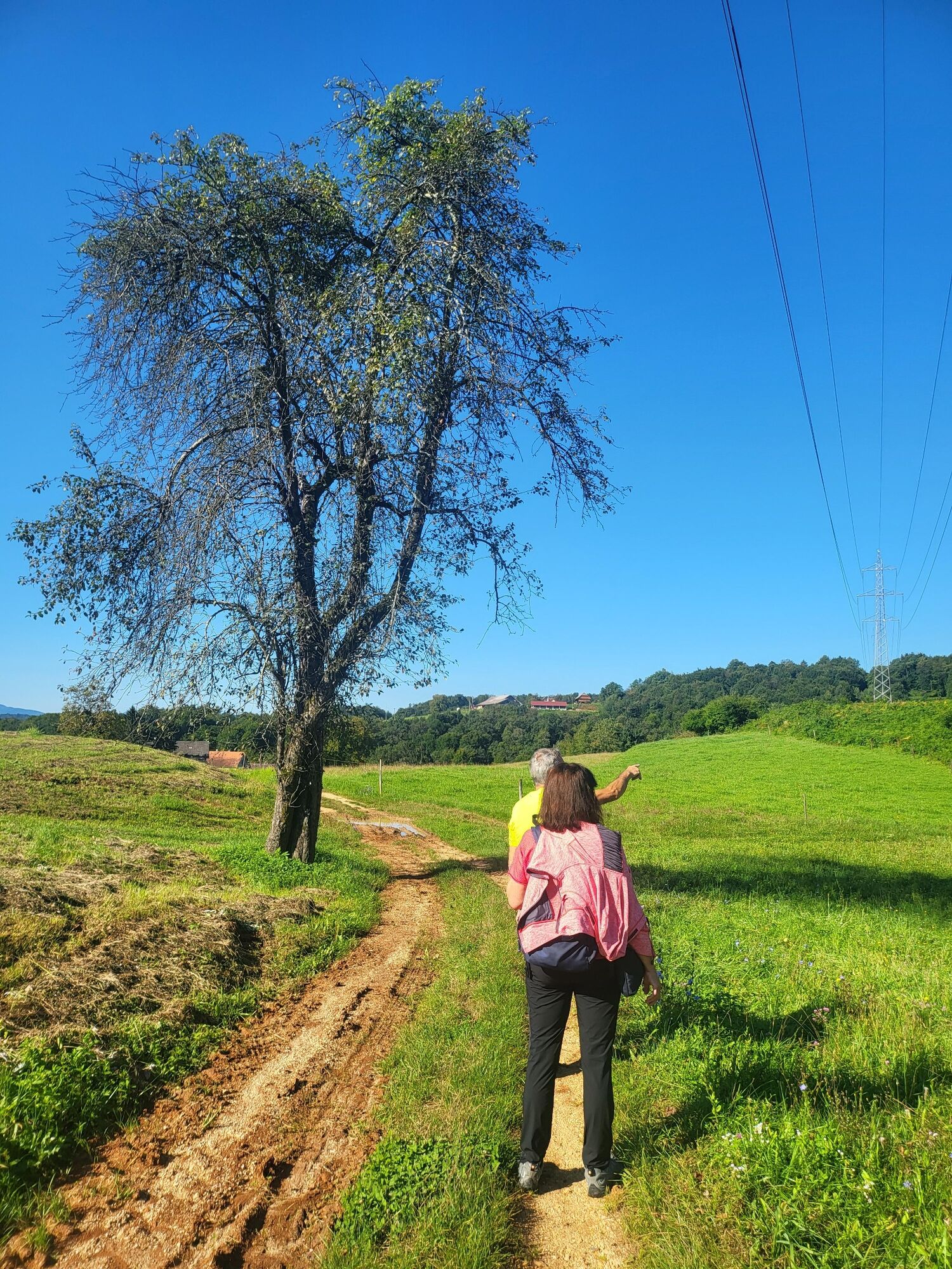
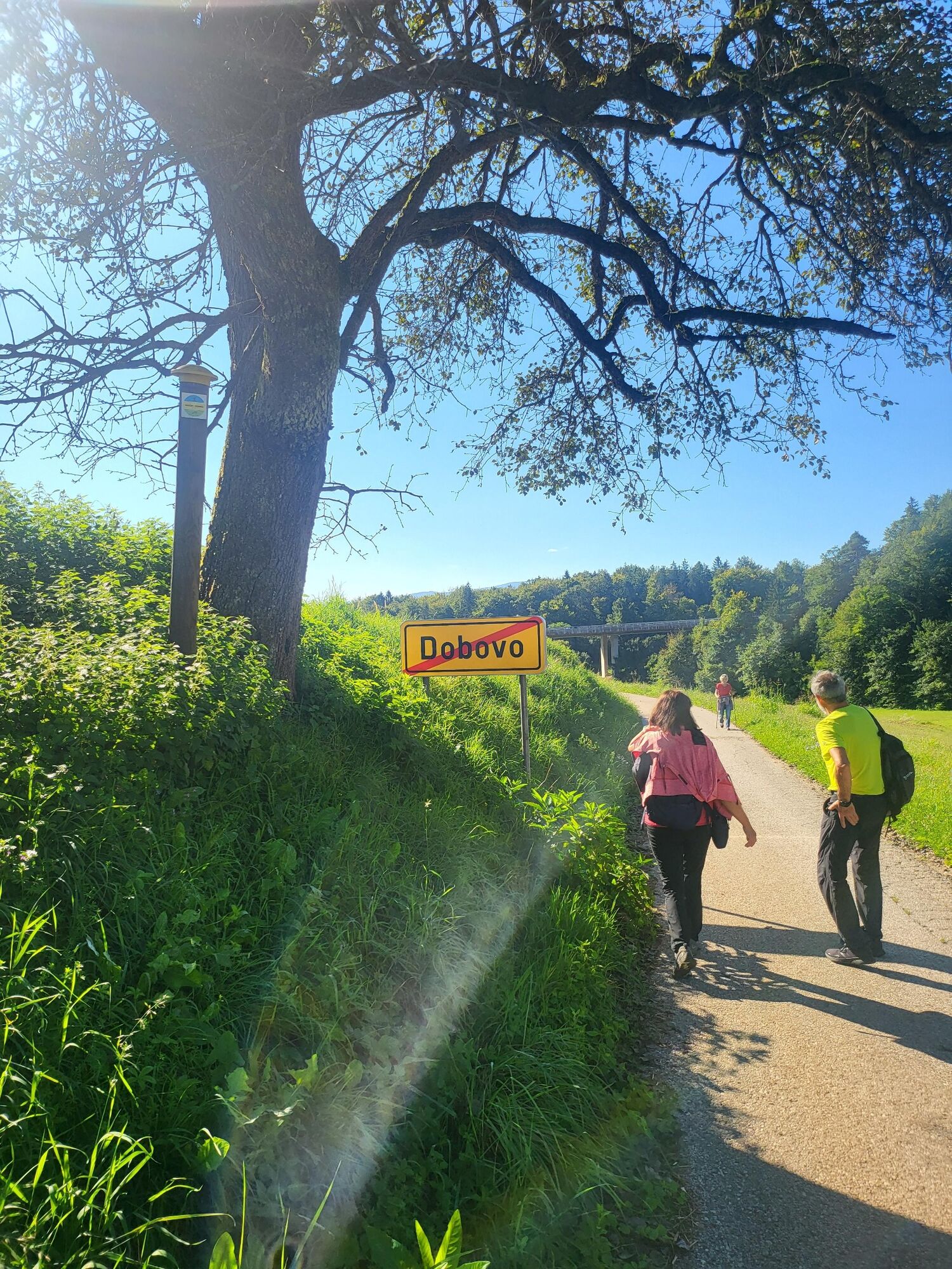
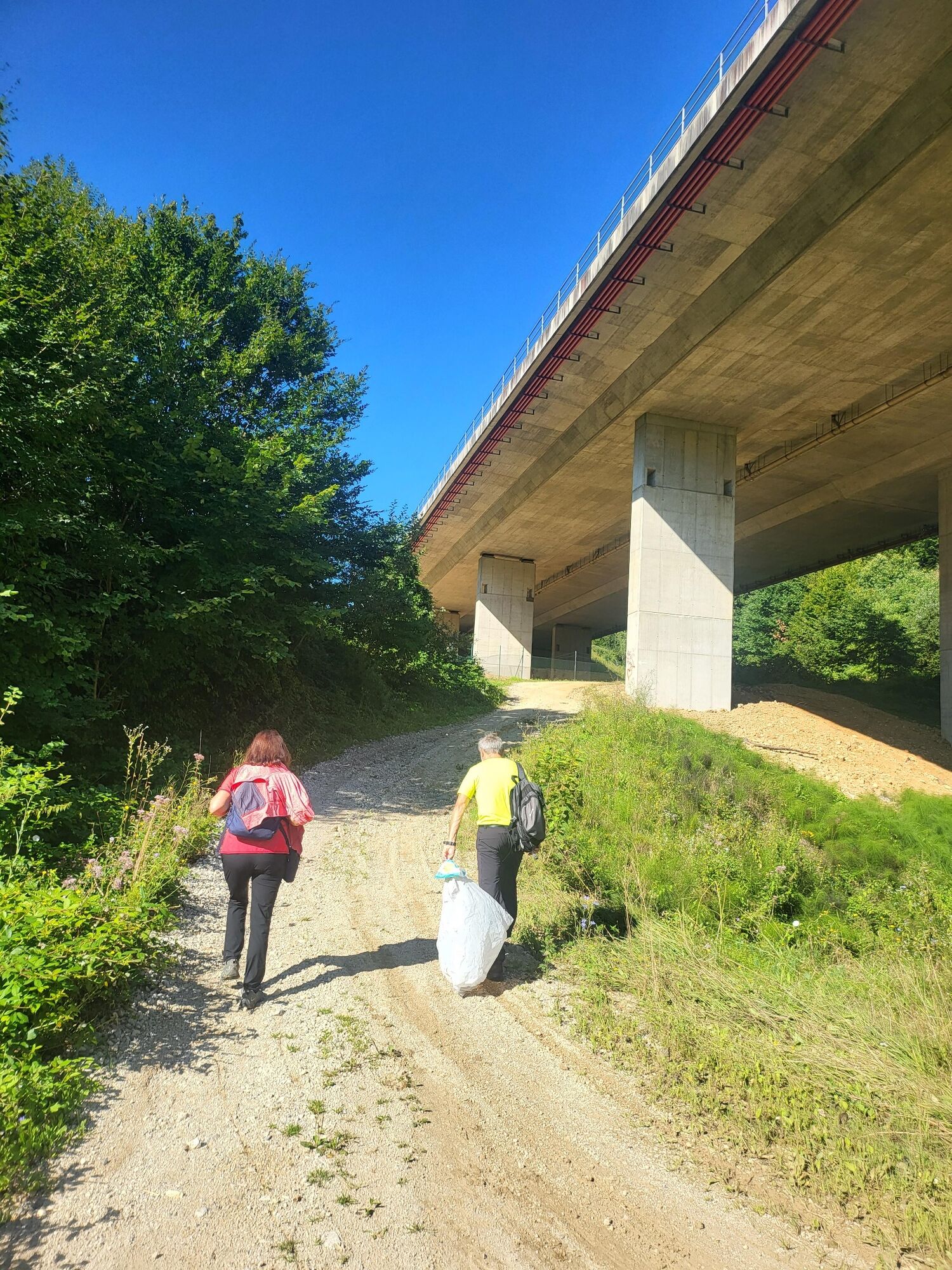
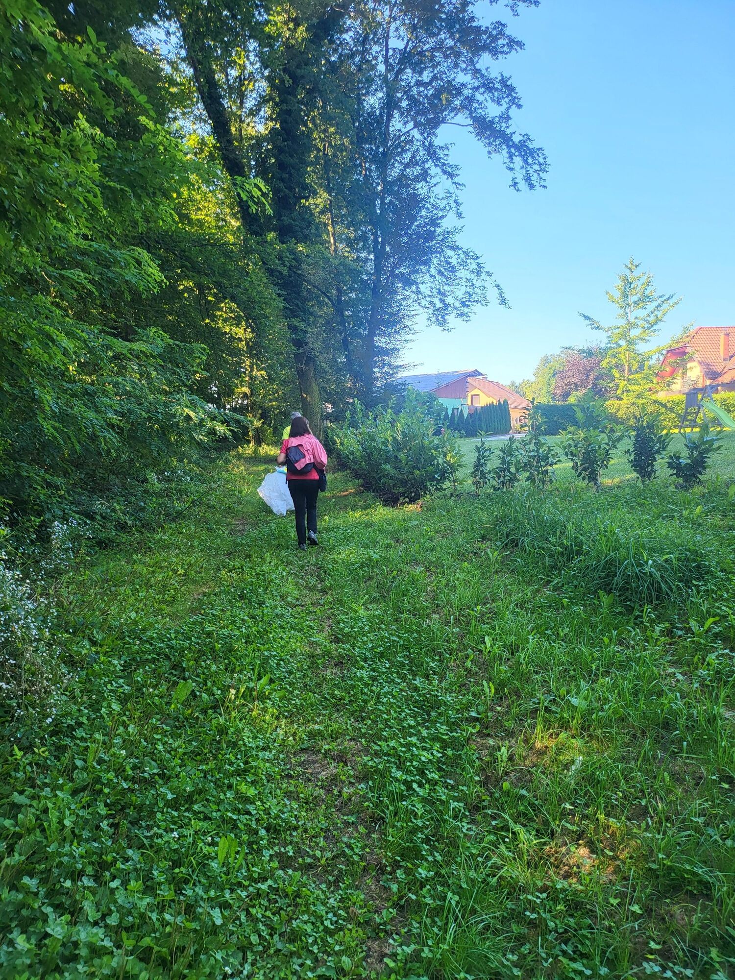
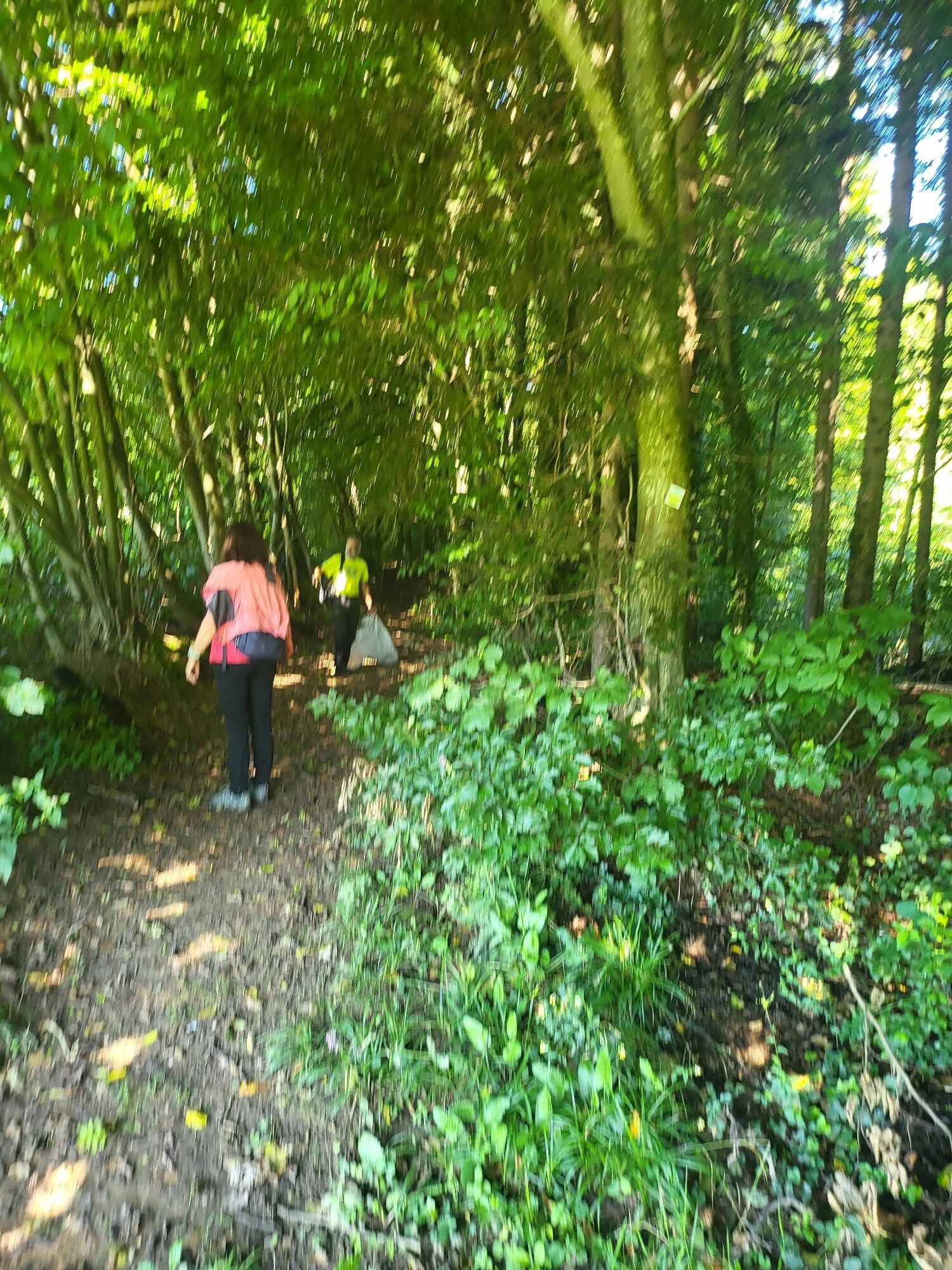
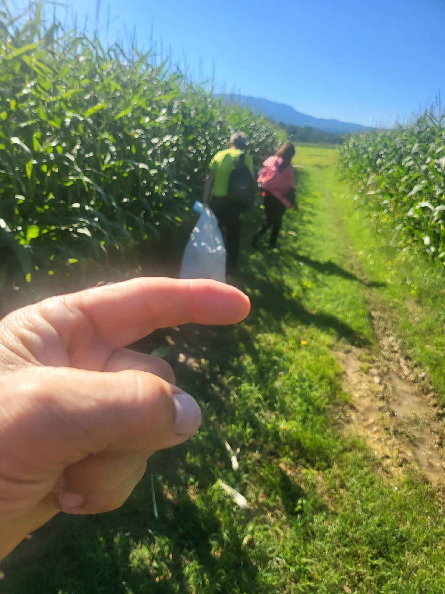
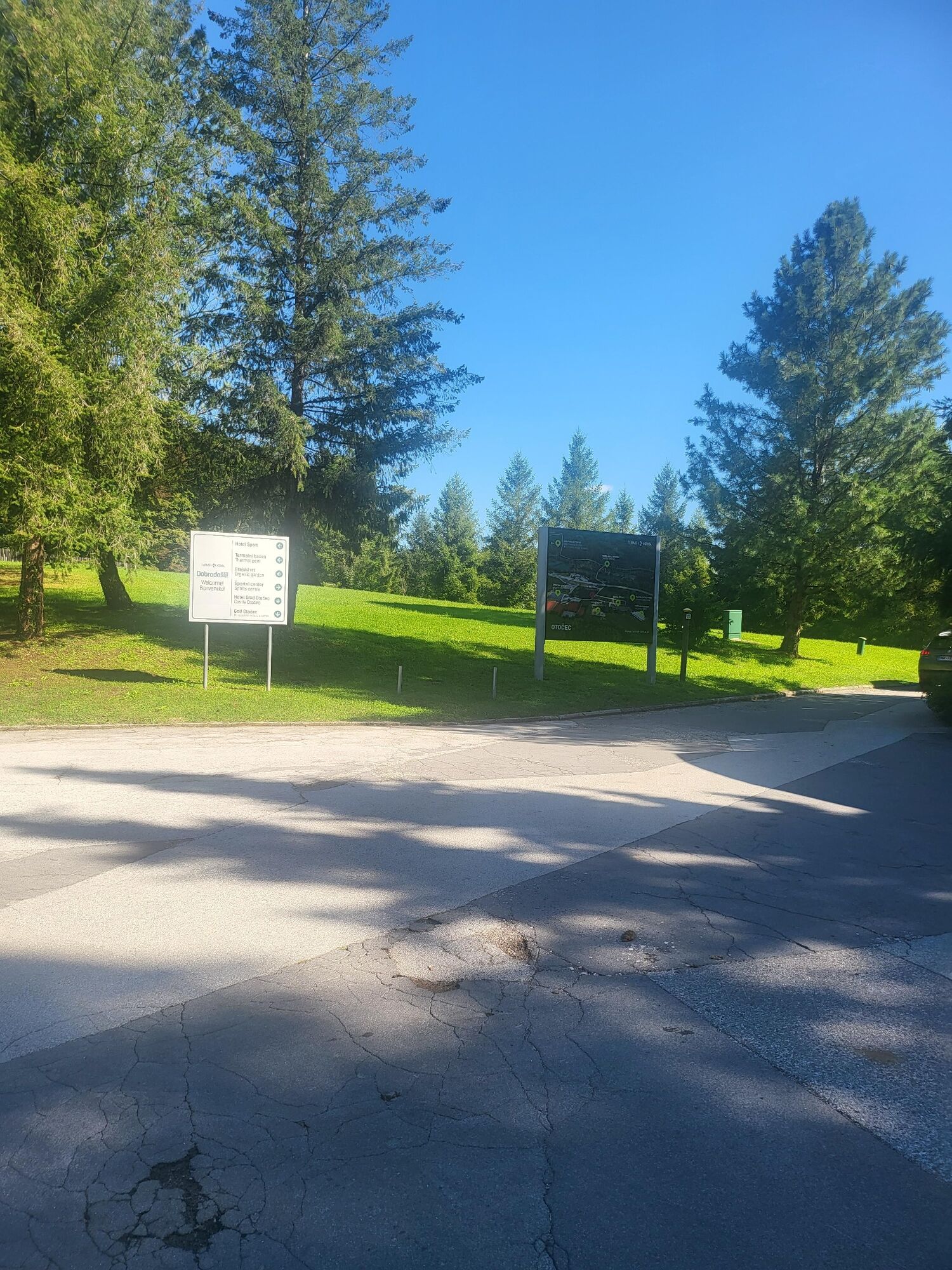
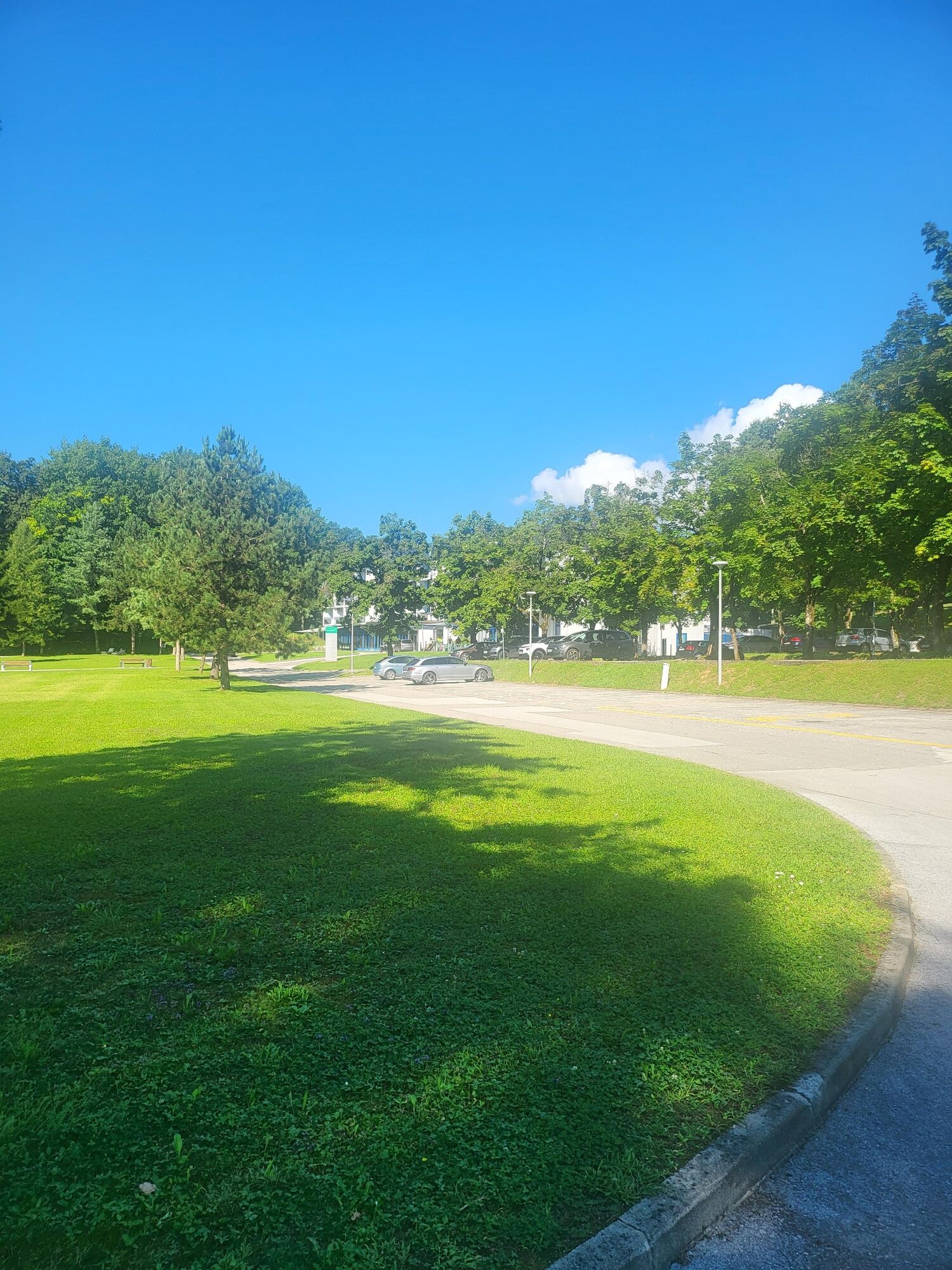
From the parking lot below Hotel Šmarješke Toplice, a macadam road winds with a short climb, which turns into a forest road and then into a forest path. Then through Luštrek's village on an asphalt road with beautiful views of Gorjanci, under the highway and back into the forest with a small ascent and descent with goats through the cornfield to the parking lot next to Hotel OtoÄec.
Ano
Ano
Light hiking boots, anorak and hiking poles
The route is almost entirely accessible by motor vehicle, although there is no such traffic.
Highway Ljubljana - Zagreb, turn to Šmarješke Toplice
Bus Novo Mesto- Šmarješke Toplice
By Hotel Šmarješke Toplice
From the end of the route, a return trip by car can be organized or we can return along the same route to the starting point.
The path is suitable for everyone, there are no long climbs and it is mainly in the shade

Oblíbené prohlídky v okolí
- 2.0
Trdinova heart trail Gorjanci
středníTematická stezka 10.5 km Rudolf trail
středníMountainbike 38.4 km- 5.0
Cycling trail from Novo Mesto to Dolenjske Toplice
světloJízda na kole 14.9 km Cycling trail from Šmarješke Toplice to Škocjan
středníJízda na kole 10.4 kmCycling trail Novo Mesto - Žbure
středníJízda na kole 18.6 kmBike around Novo Mesto
středníMountainbike 34.8 kmFrom Novo Mesto to the warm spring Klevevž
středníMountainbike 41.4 kmRefreshing cycling along the Radulja stream
středníMountainbike 43.1 km- 5.0
Mach heritage trail
středníTuristika 9.99 km Venice Of Dolenjska
středníMountainbike 60.8 km
Pěší turistika a stopování


Nenechte si ujít nabídky a inspiraci pro vaši příští dovolenou
Vaše e-mailová adresa byl přidán do poštovního seznamu.