






Cycling trail from Šmarješke Toplice to Škocjan

This route is an alternative to the Novo Mesto-Žbure route. It takes you along the highway on local, less busy, roads with some macadam in between. It will take you past romantic churches, folk myths and...
This route is an alternative to the Novo Mesto-Žbure route. It takes you along the highway on local, less busy, roads with some macadam in between. It will take you past romantic churches, folk myths and rich vineyards with beautiful views of the Krka Valley. In some places, the path runs parallel to the river, where you can relax in the shade of trees while the river whispers. Of course, you can also go for a swim.
In the village Bela Cerkev, take the time to visit the House of the living heritage (Hiša Žive DedišÄine) and Škratova Luknja (Dwarf's hole).
The settlement of Škocjan is known for the mighty renaissance church of St. Kacijan and a special feature of the place, the stone two-arched bridge. In the vicinity of Škocjan you can then visit the Ethnological Park Zagraški log, or walk along the Mlinarjeva pot trail.



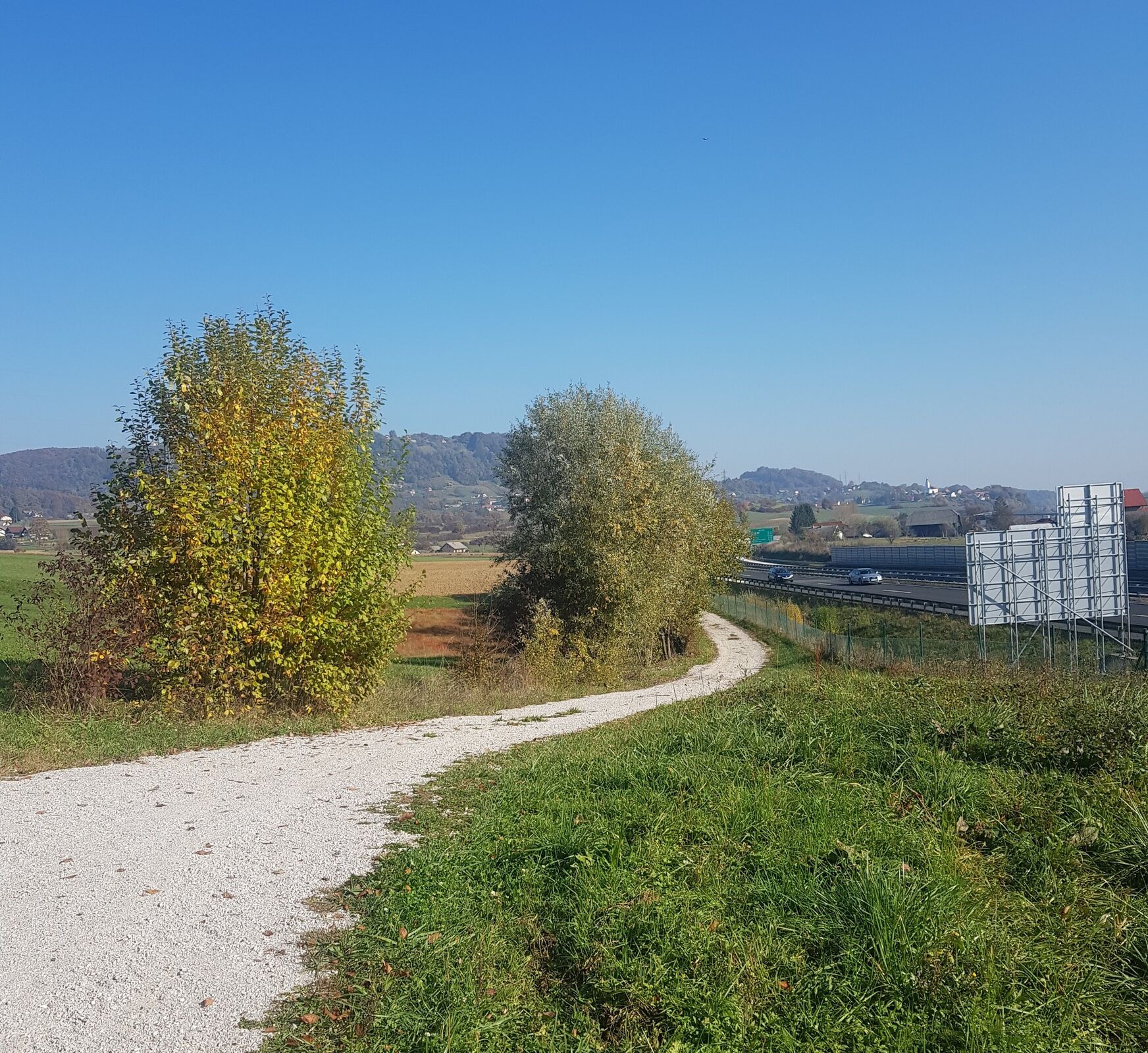


When coming from the direction of Novo Mesto towards Šmarješke Toplice, you will turn left from the main local road into the underpass under the motorway. You can continue towards Šmarješke Toplice or towards Škocjan. In the latter case, immediately after the overpass, turn right, along an asphalt road for about 100 m uphill. If you need refreshments, there is a pleasant inn Domen at this crossroads.
At the top of the slope, turn off the asphalt onto a well-maintained macadam road that runs parallel to the highway for a while. Here the path runs downhill. After about 400 meters you will keep to the right and when you come back to the asphalt, turn right in the direction of the village of Bela Cerkev. The path to the village of Bela Cerkev runs along a low-traffic local road that runs parallel to the highway. On one side you are accompanied by vineyard hills, and on the right you have a view of the entire Krka valley.
Arrival in Bela Cerkev is marked by a 100 m long, steep ascent to the center of the village. At the crossroads at the end of the village, you will turn right at the STOP sign and descend back along the highway. The asphalt road will take you to the underpass, where you follow the main direction and immediately after the underpass turn left, onto the main road.
Just before the next underpass, turn right onto a wide asphalt bike path, which soon turns into macadam. After about two kilometers you will join back to the main road where you will turn right. Again, only about 50 meters away, when at the sign for the village of Stranje, a 180-degree turn to the right awaits you to the bike path, which will take you through the underpass to the other side of the highway.
After the underpass, you will rejoin the local road, which climbs to the right, towards the grove. In Tomažja vas, go down to the fire station, on your left, where you will stick to the road that leads straight - the landmark should be the bell tower of the church of Sv. Stefan. Continue to the Y crossroads, you can turn left to the church, but the trail goes right, back up the hill.
You will continue with a slight ascent until you reach the next Y intersection, at the old house, where you will turn right again. Continue along the slope with a beautiful view of the vineyard hills and the valley of the river Krka. When you reach the end of the road, the descent finally begins, quite steep with sharp turns, so caution is needed. When you descend to the main road, you will turn left.
After about a kilometer or two of the main road, you arrive in Škocjan. In the village there is the last crossroads where you go left on a short ascent, and you arrive at the bus station (on the left), where the route ends
Ano
Helmet, water and perhaps swimsuit
The route goes partly, or intersects with, the main road, so special care is needed on those parts due to increased traffic. There is also one steep downhill, where you need to be carefull with your speed.
Novo Mesto is located next to the highway Ljubljana- Zagreb. For the main square, follow the signs "Center"
You can arrive in Novo Mesto with bus or train.
Payable in the city
Oblíbené prohlídky v okolí
-
3.5
Trdinova heart trail Gorjanci
středníTematická stezka 10.5 km -
Adrijaničeva heart trail from Šmarješke Toplice to Otočec
světloTematická stezka 4.62 km -
Old Castle path Podbočje-short
světloTematická stezka 3.33 km -
Rudolf trail
středníMountainbike 38.4 km -
Uskok heart trail Brežice
světloTematická stezka 5.73 km -
5.0
Mach heritage trail
středníTuristika 9.99 km -
From Novo Mesto to the warm spring Klevevž
středníMountainbike 41.4 km -
Cycling trail Novo Mesto - Žbure
středníJízda na kole 18.6 km -
Refreshing cycling along the Radulja stream
středníMountainbike 43.1 km -
Posavje cycling trail
heavyJízda na kole 197.4 km
Pěší turistika a stopování


Nenechte si ujít nabídky a inspiraci pro vaši příští dovolenou
Vaše e-mailová adresa byl přidán do poštovního seznamu.





