


Rothaarsteig-Spur Wacholderweg
The starting point is the hiking portal at the parking lot of the Donsbach community center. From there, the Rothaarsteig route "Wacholderweg" leads to the tree educational trail in the "Reistenbach valley."...
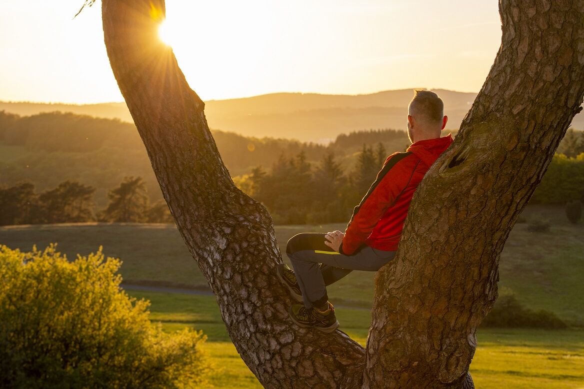
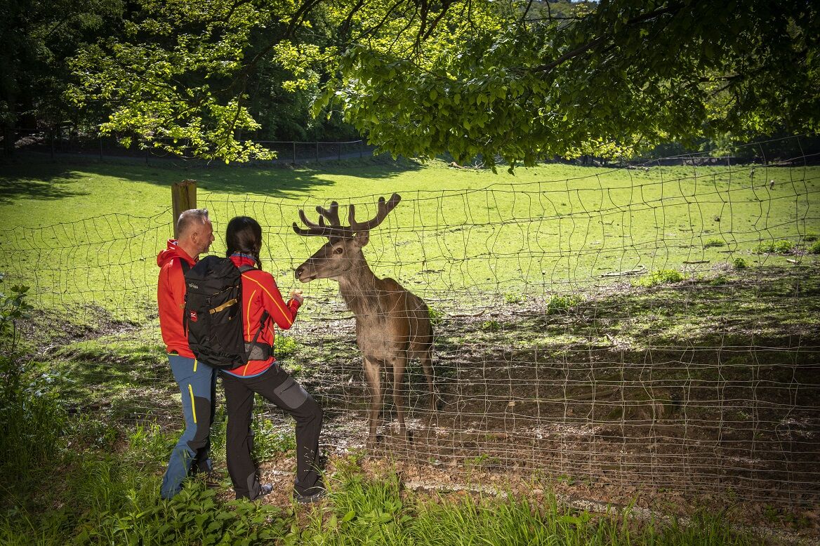
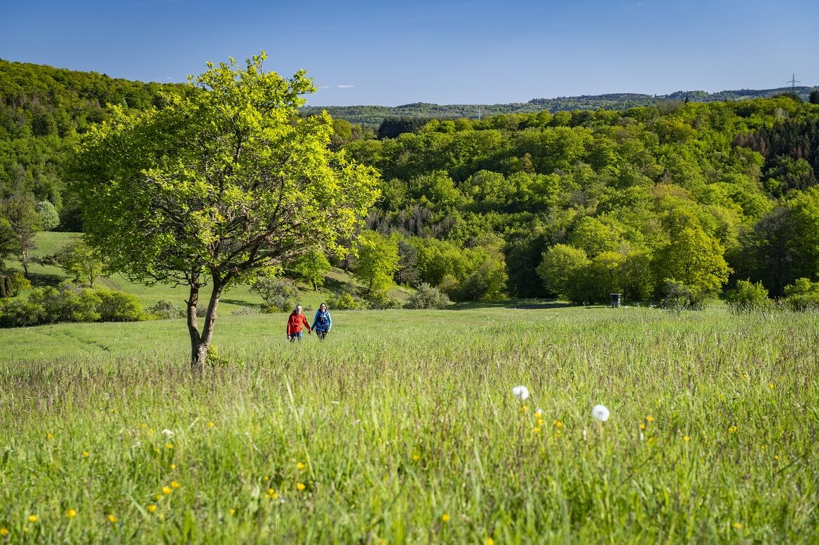
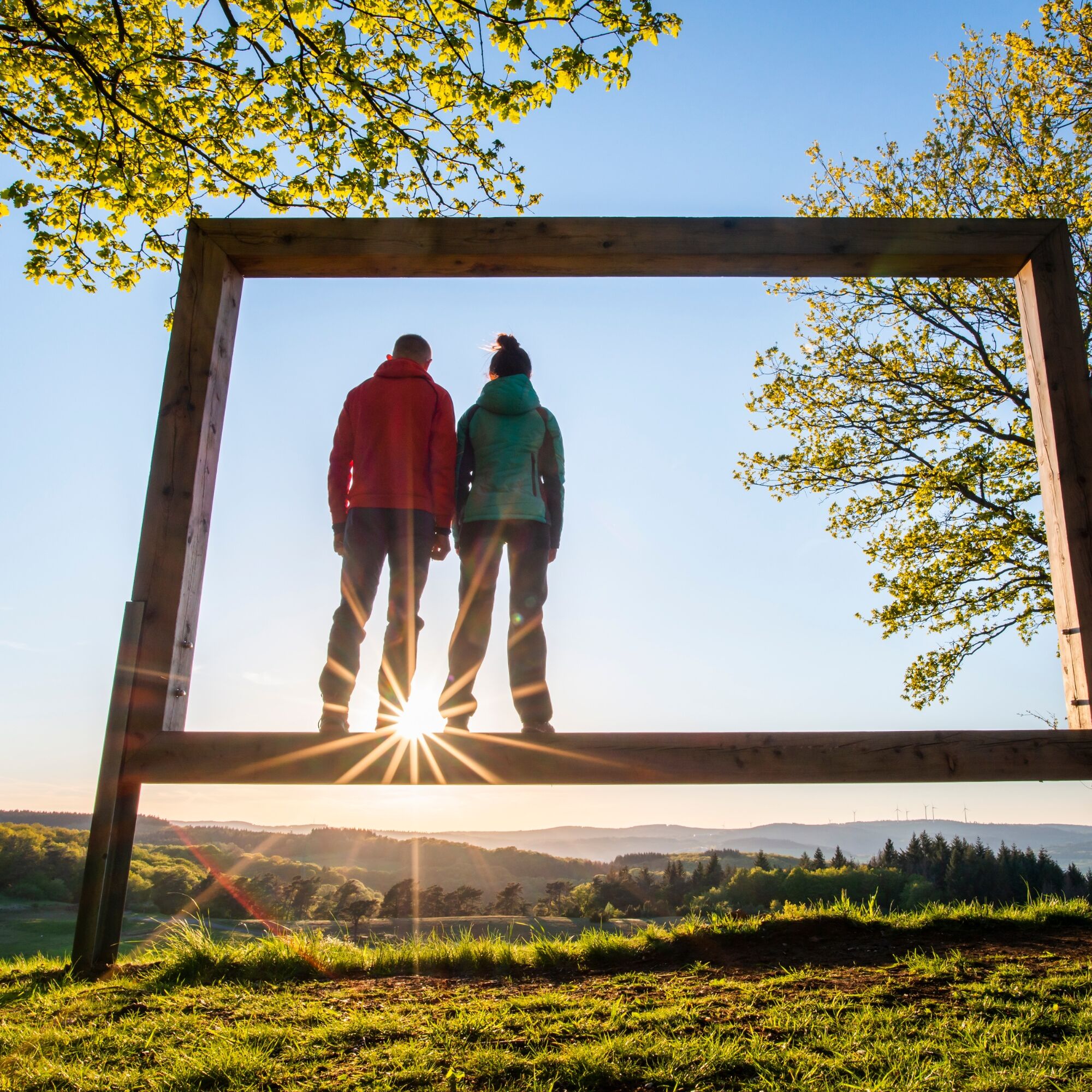
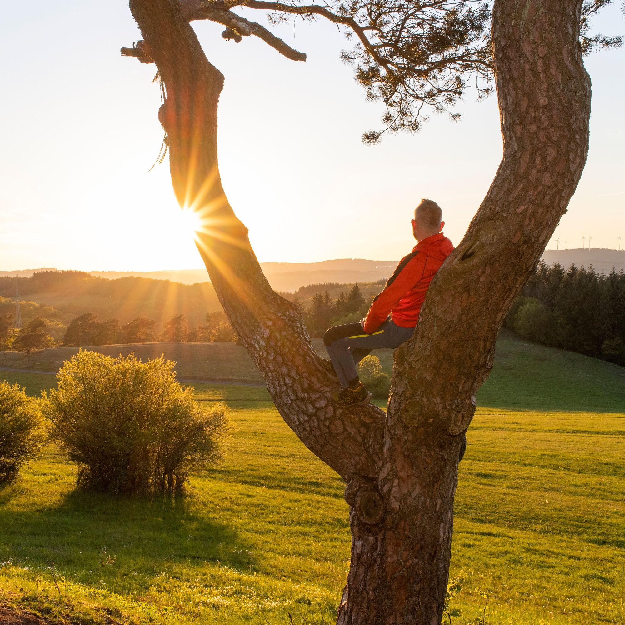
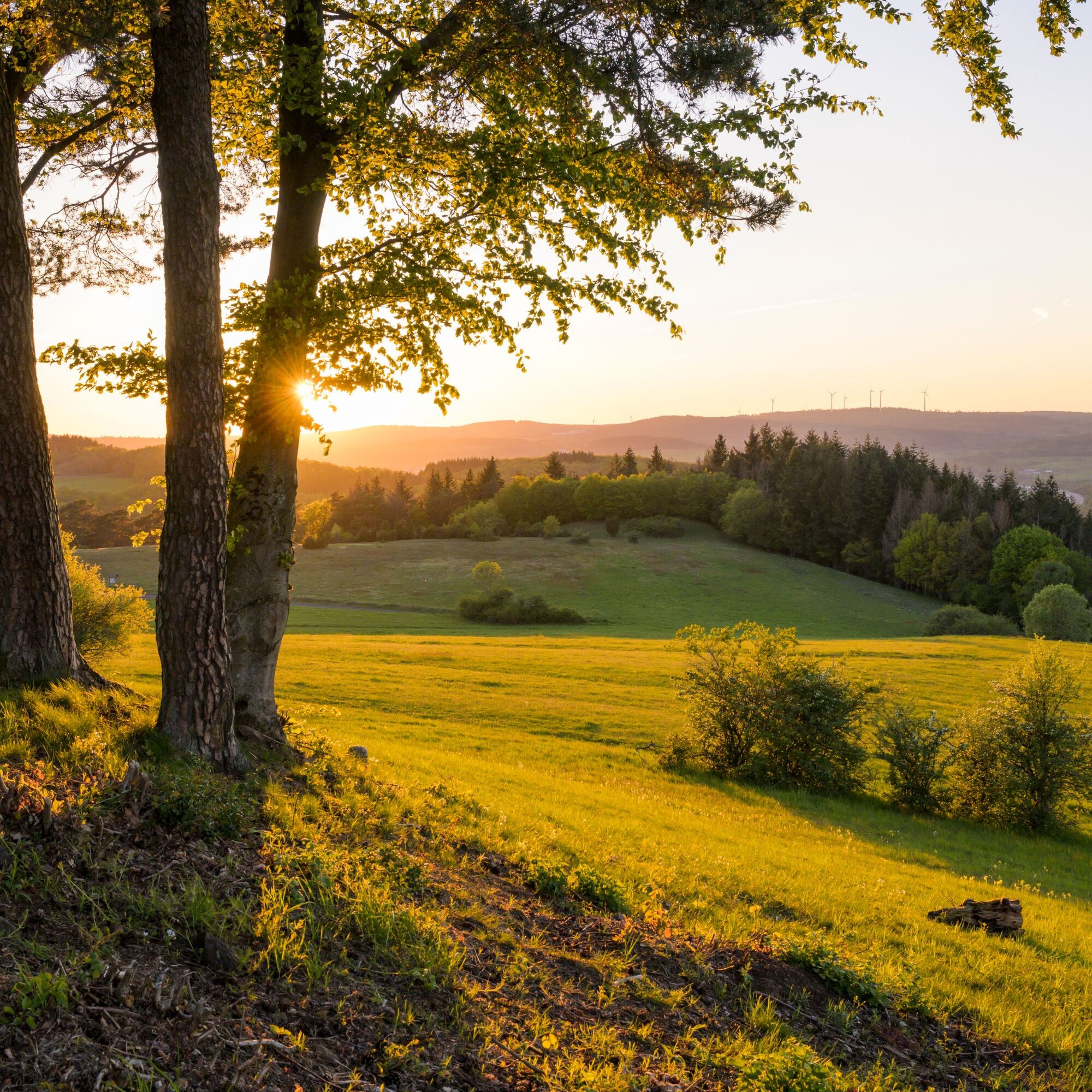
The starting point is the hiking portal at the parking lot of the Donsbach community center. From there, the Rothaarsteig route "Wacholderweg" leads to the tree educational trail in the "Reistenbach valley." Then it continues through the nature reserves "Alter Berg" and "Sauernberg" and then with a short climb to the 454-meter-high "Kornberg." This is the crowning point of the Wacholderweg. With its "Taunus view" it offers magnificent views to the south, in clear weather up to the "Großer Feldberg" in the Taunus. The path runs through the "Marbach valley" to the "Waat-treading facility" with barefoot path. Shortly afterwards, you reach the CO2 educational trail at the "Haigerer Tor." Passing the Donsbach wildlife park with its 13 "large" animal species and petting zoo, the path returns to the parking lot at the community center.
The route offers two further shorter variants:
The western loop leads over the Sauernberg and the Stangenwaage; it can be shortened from Kornberg over the Rothaarsteig towards Haigerer Tor. This variant measures 12 kilometers and 220 meters of elevation.
The eastern loop leads over the Rothaarsteig towards the Kornberg, then again on the Wacholderweg over Meerbornsheide and the CO2 path back to the community center. This variant is 9.2 kilometers long and has 250 meters of elevation.


Donsbach - Sauernberg - Red Mountain - Kornberg - Meerbornsheide - Waat-Treading Facility - CO2 Educational Trail - Donsbach
The Rothaarsteig leads over numerous natural paths away from agricultural and forestry roads. Therefore, weatherproof clothing and sturdy footwear are a must for every hike. We want you to experience the "path of the senses" not only "dry" but also with "good" feet.
In our small hiking shop at www.rothaarsteig.de/shop, you will also find a selection of Rothaarsteig articles to prepare for your route or as souvenirs. We also gladly recommend the durable and high-quality outdoor equipment from our longtime partner, the outdoor outfitter Tatonka.
Hiking backpack
With a suitable hiking backpack, your tour on the Rothaarsteig is twice as much fun! Hiking backpacks offer very comfortable carrying properties through a ventilated carrying system because it ensures that the sweat can evaporate immediately. They can be fixed with a belly or hip belt and thus fit securely to the back during any movement. In addition, they are equipped with a practical holder for hiking poles and often have a compartment with an outlet for a hydration bladder so that fluid supply is always ensured.
Here you will find hiking backpacks from the outdoor outfitter Tatonka in various sizes for day hikes and multi-day tours with different ventilated back systems.
Rainwear
If changeable weather is forecast for your tour on the Rothaarsteig, remember to pack a light rain jacket or a rain poncho. They take almost no space in your backpack and also protect against unpleasant wind. Gaiters are also practical, protecting pant legs from dirt and moisture. At our partner, the outdoor outfitter Tatonka, you will find high-quality, breathable rain jackets with minimal packing size, lightweight rain capes, and gaiters for pant legs to keep them protected from dirt and moisture.
Here you will find rain jackets from Tatonka for women.
Here you will find rain jackets from Tatonka for men.
First aid kit
To fully enjoy your hiking tour on the Rothaarsteig, a first aid kit should definitely be in your backpack. After all, nothing is more annoying than not being able to immediately and cleanly treat a blister or small injuries on the foot. The first aid kits from Tatonka are filled with all the important materials for initial care of injuries and also include an "outdoor cheat sheet" with a concise and clear guideline for correct behavior in emergencies in the open nature.
Here you find the first aid kits from Tatonka!
Food and drinks
On some stages, especially between Lahnhof and Dillenburg, unfortunately, there are no dining options along the way. Please remember to pack food and drinks here, especially in summer sufficient fluids are important.
The stainless steel bottles, insulated stainless steel jugs, and stainless steel lunch boxes from the German outdoor outfitter Tatonka are not only practical but also unbreakable and durable.
Information about the rescue panels on the Rothaarsteig
Hiking trails mostly run away from towns and settlements, and everyone who hikes has surely wondered at some point what would happen if there were an emergency now. How can I be found here? Where am I actually? Can the emergency services reach me?
In case of an emergency, it must be quick! Therefore, the Rothaarsteig is continuously equipped with so-called rescue signs. On the green-white plaques attached to the posts of the signposts, there is a number you must provide when making an emergency call. This lets the rescue teams know exactly where you are, saving valuable time.
Note on increased forest fire risk
Please note that due to the current dryness, there is an increased forest fire risk! Therefore, please observe the following instructions:
Adhere to the legal ban on smoking in the forest - it applies in spring, summer, and autumn, specifically from March 1 to October 31. Observe the ban on open fires in the forest and within 100 meters of the forest. Take glass out of the forest - the burning glass effect can cause forest fires.If it is (too) late:
Extinguish small fires if it is safe for you to do so. Check the area carefully if necessary. Report fires via "112". Leave the danger area using the shortest route.The forest thanks you!
From Dillenburg, bus line 101 runs Monday to Saturday to the stop "Donsbach Ort".
Dillenburg is accessible via long-distance trains of Deutsche Bahn.
Further information can be found at www.bahn.de.
Free parking at the community center Dillenburg-Donsbach (Rudolf-Braas-Straße 1, Dillenburg).
More information about the Rothaarsteig is available at www.rothaarsteig.de or by phone at the free service hotline +49 2974 / 499 4163. We will gladly advise you personally on your tour planning.
Dining options:
Restaurant Tiergarten in the community center Donsbach Restaurant at the Meerbornsheide campsiteThe juniper heath near Donsbach
The tree educational trail in the Reistenbach valley
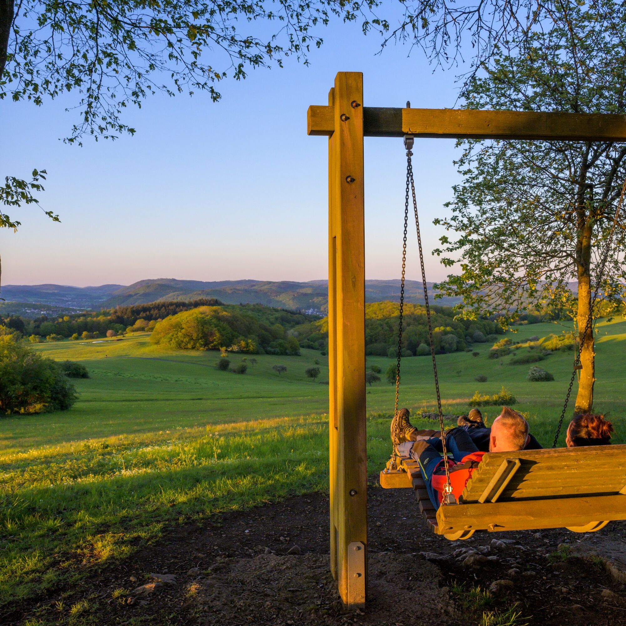
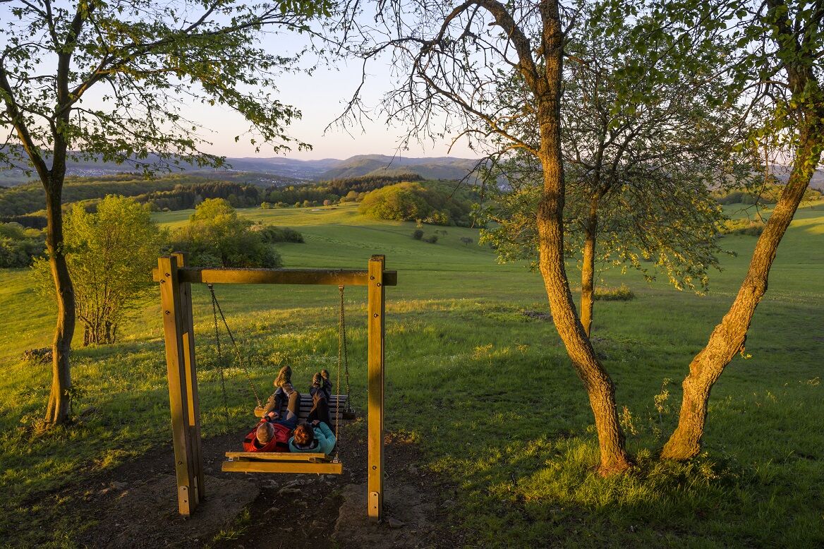
The Kornberg with a beautiful view
The Waat-treading facility with barefoot path
The CO2 educational trail by Hessen-Forst
The Donsbach wildlife park with various animal species

Oblíbené prohlídky v okolí
-
4.5
GeoRoute Hörreliches Stippbachtal
světloTematická stezka 11.0 km -
Lahnwanderweg 01-19 upstream (entire route, stage hike)
heavydálková pěší trasa 294.9 km -
Geopark Rail Route
středníJízda na kole 93.4 km -
Rothaarsteig-Spur Gernsdorfer Höhentour
středníTuristika 13.4 km -
Rothaarsteig Westerwaldvariante
heavydálková pěší trasa 71.8 km -
Rothaarsteig-Spur Dill-Bergtour
středníTuristika 15.9 km -
Rothaarsteig von Irmgarteichen nach Rodenbach
heavyTuristika 17.0 km -
Rothaarsteig von der Haincher Höhe nach Dillenburg
heavyTuristika 27.3 km -
ÖPNV-Tour: Auf dem Rothaarsteig von Dillenburg nach Haiger
středníTuristika 13.2 km -
ÖPNV-Tour auf dem Rothaarsteig: Von Haiger-Dillbrecht nach Wilnsdorf-Rudersdorf
středníTuristika 10.7 km
Pěší turistika a stopování


Nenechte si ujít nabídky a inspiraci pro vaši příští dovolenou
Vaše e-mailová adresa byl přidán do poštovního seznamu.