


Lahnwanderweg 01-19 upstream (entire route, stage hike)
Úroveň obtížnosti: T2
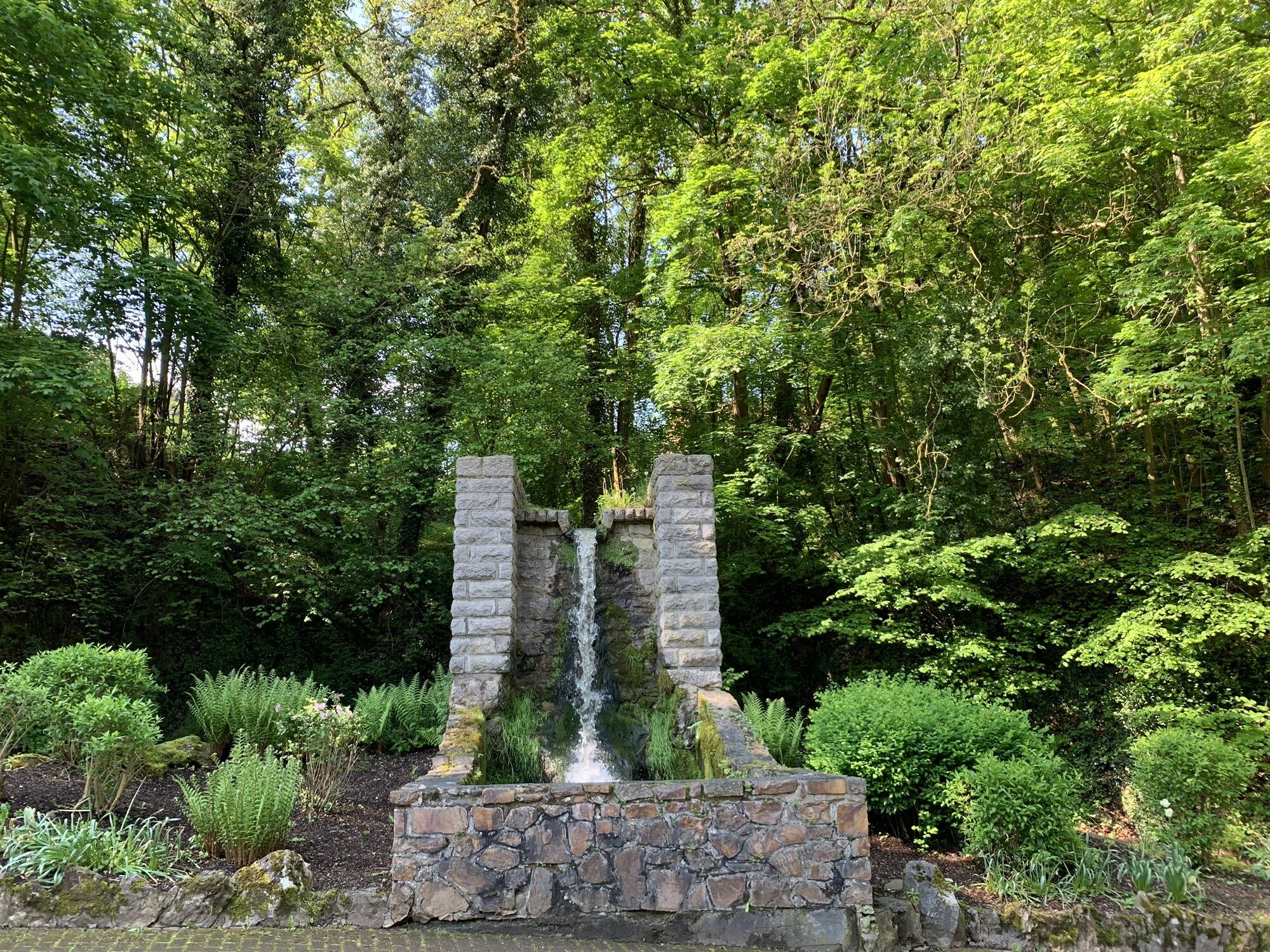
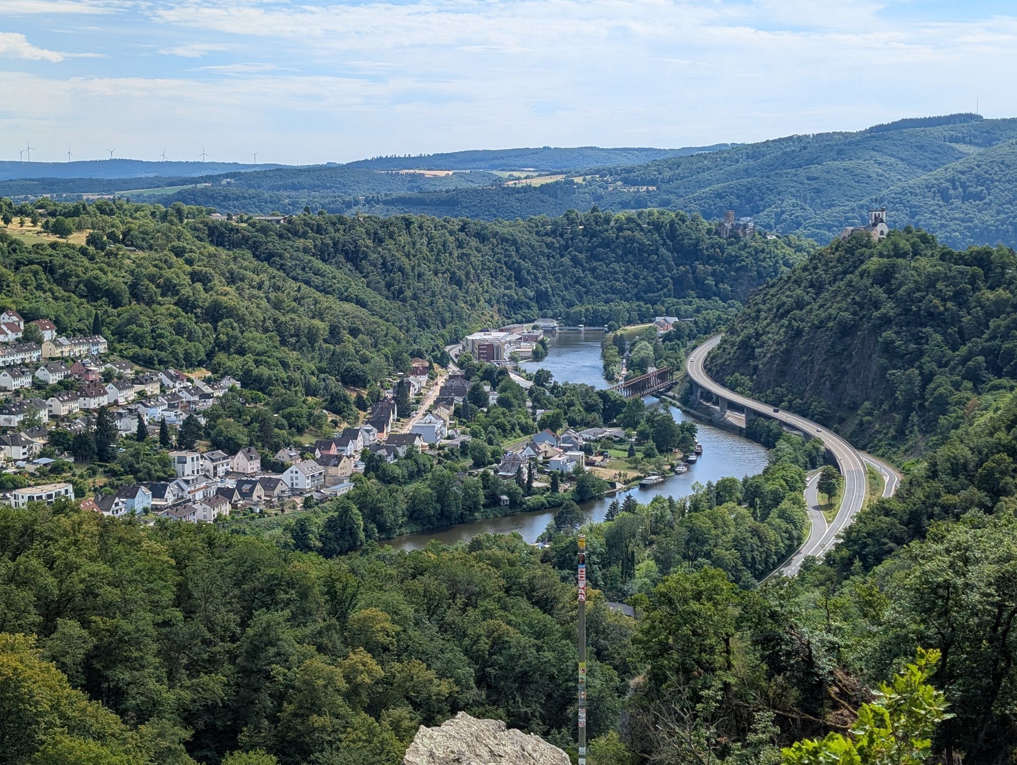
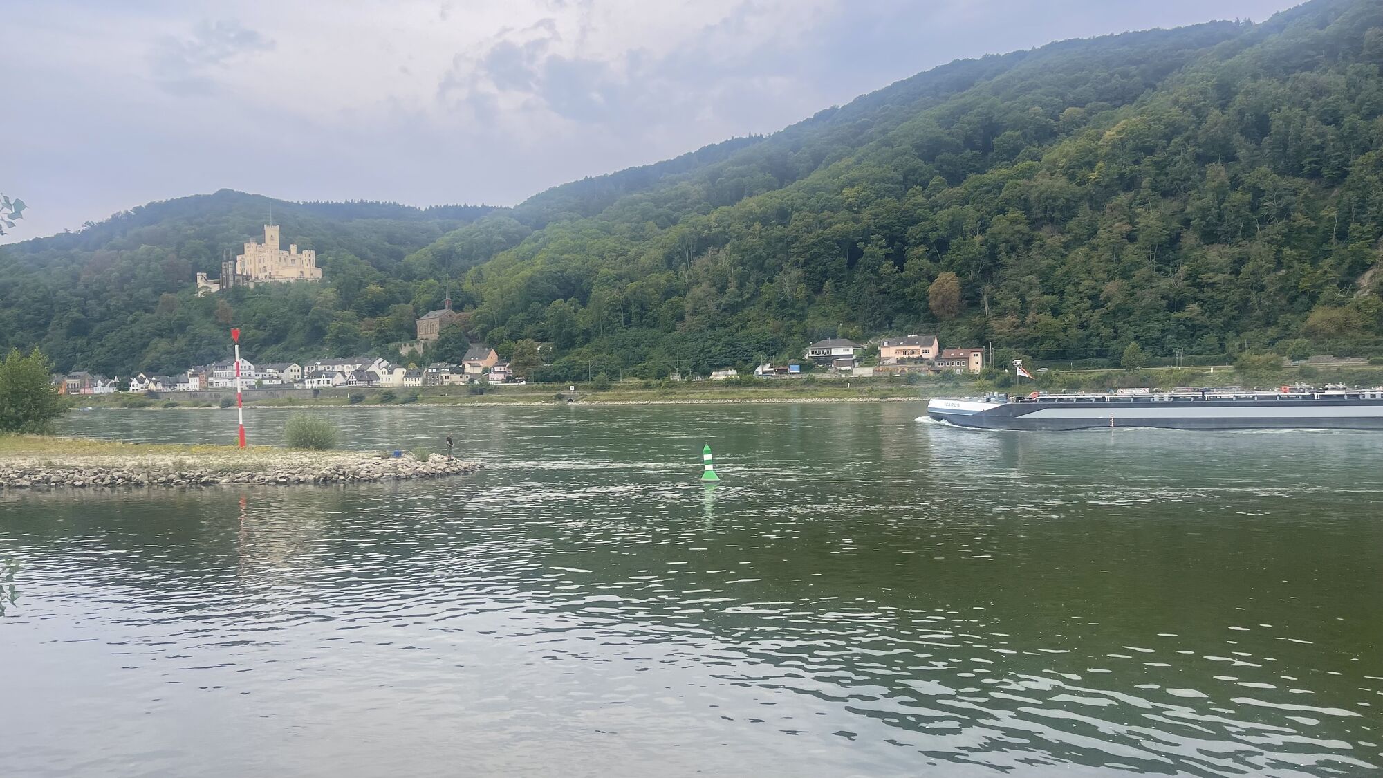
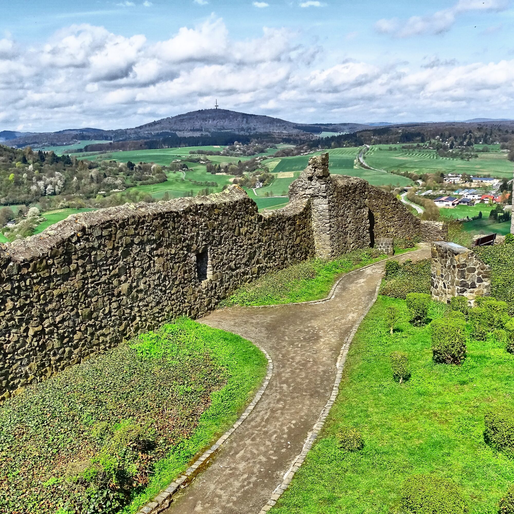
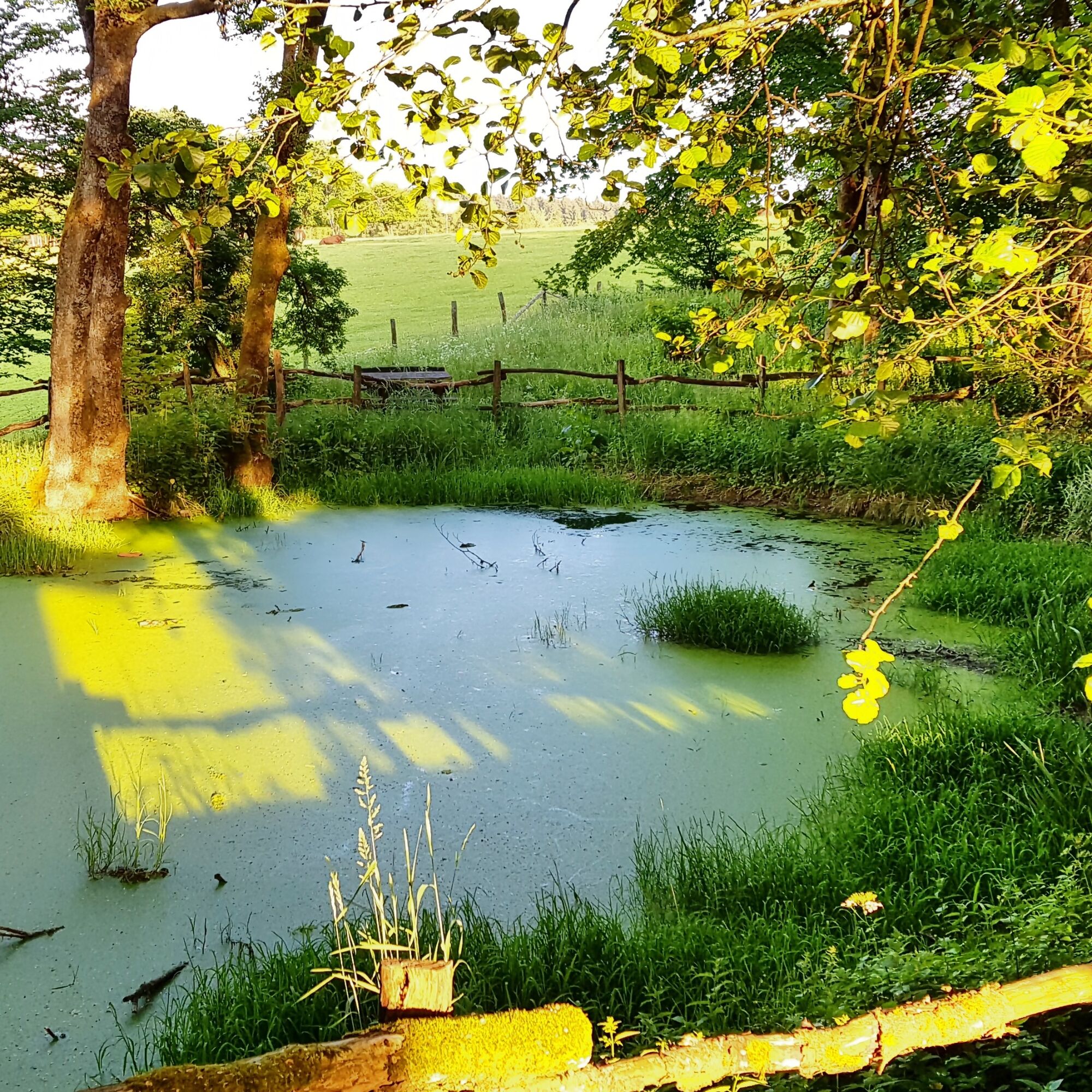
Fotografie našich uživatelů
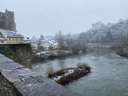
 © petermarx6Vytvořeno dne 29.01.2026
 © petermarx6Vytvořeno dne 29.01.2026
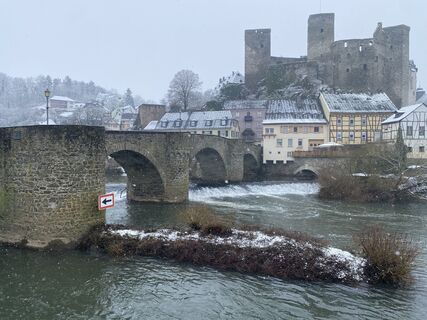 © petermarx6Vytvořeno dne 29.01.2026
 © petermarx6Vytvořeno dne 29.01.2026
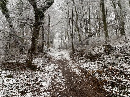 © petermarx6Vytvořeno dne 29.01.2026
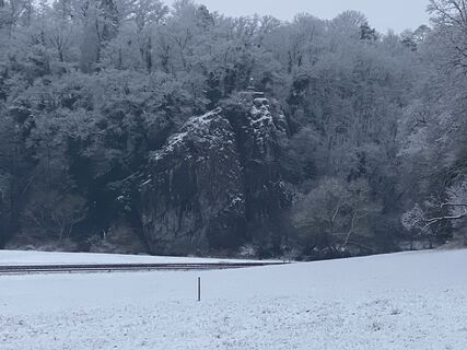 © petermarx6Vytvořeno dne 29.01.2026
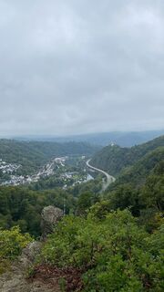
 © André MorgensternVytvořeno dne 28.09.2025
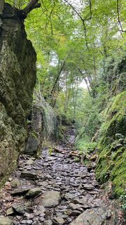 © André MorgensternVytvořeno dne 28.09.2025
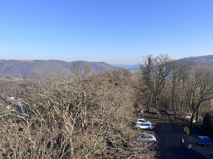
 © Andreas StopperichVytvořeno dne 19.01.2025
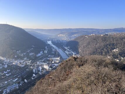 © Andreas StopperichVytvořeno dne 19.01.2025
 © Andreas StopperichVytvořeno dne 19.01.2025
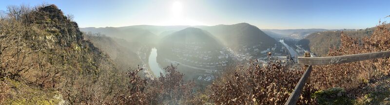 © Andreas StopperichVytvořeno dne 19.01.2025
 © Andreas StopperichVytvořeno dne 19.01.2025
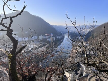 © Andreas StopperichVytvořeno dne 19.01.2025
 © Andreas StopperichVytvořeno dne 19.01.2025
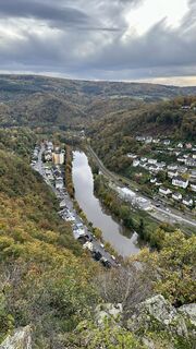
 © MMVytvořeno dne 01.11.2023
 © MMVytvořeno dne 01.11.2023
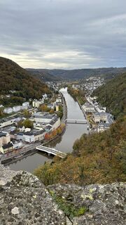 © MMVytvořeno dne 01.11.2023
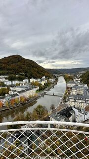 © MMVytvořeno dne 01.11.2023
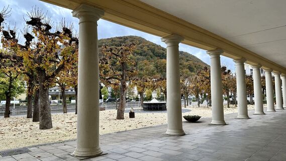 © MMVytvořeno dne 01.11.2023
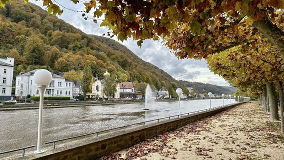 © MMVytvořeno dne 01.11.2023
 © MMVytvořeno dne 01.11.2023
 © Kristina 1Vytvořeno dne 13.05.2023
 © Kristina 1Vytvořeno dne 13.05.2023
 © Kristina 1Vytvořeno dne 13.05.2023
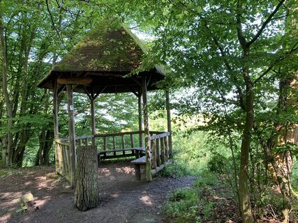 © Kristina 1Vytvořeno dne 13.05.2023
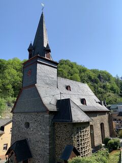 © Kristina 1Vytvořeno dne 13.05.2023
 © Kristina 1Vytvořeno dne 13.05.2023
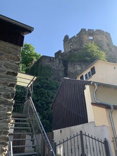 © Kristina 1Vytvořeno dne 13.05.2023
 © Kristina 1Vytvořeno dne 13.05.2023
 © Attila NémethVytvořeno dne 05.07.2025
 © Lis MalzachVytvořeno dne 26.08.2025
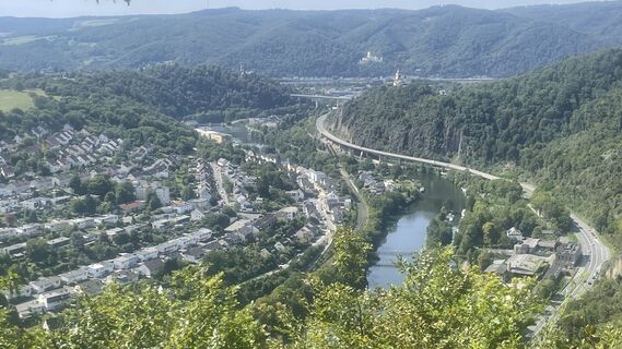 © Lis MalzachVytvořeno dne 26.08.2025

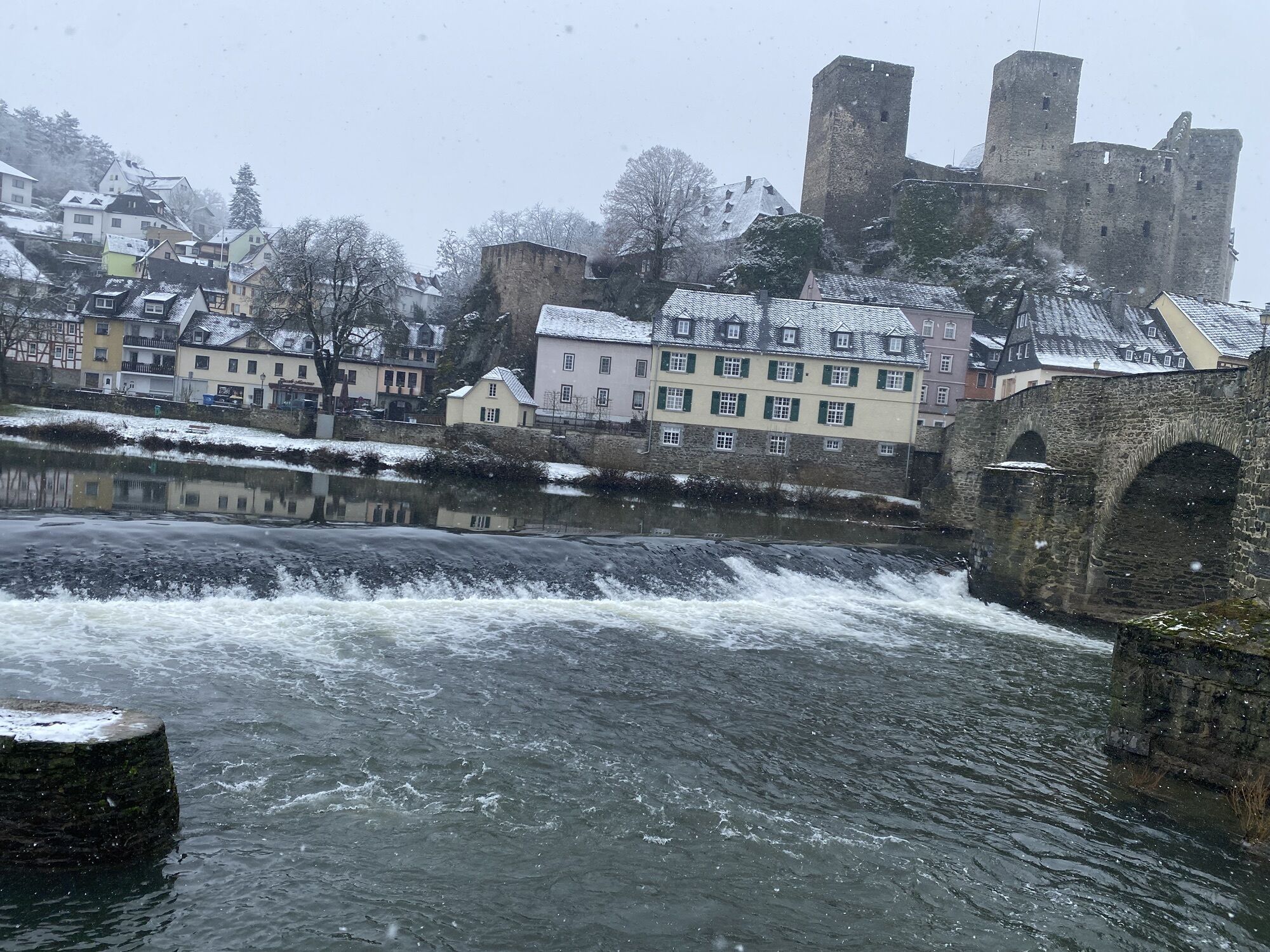
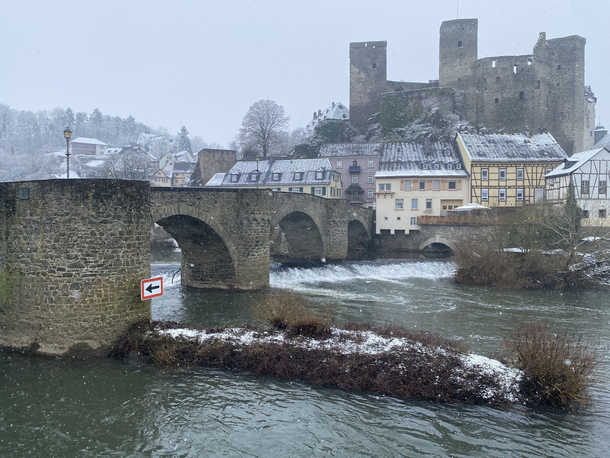


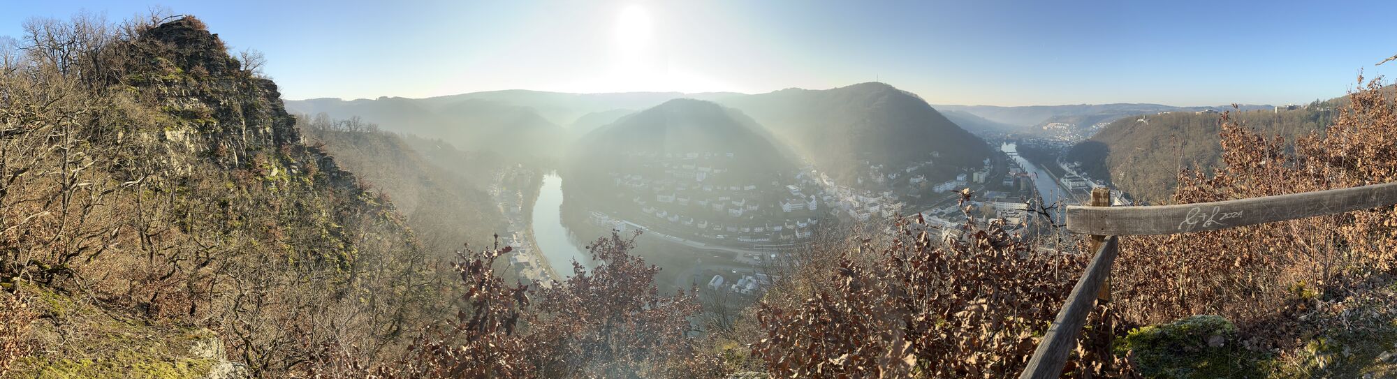
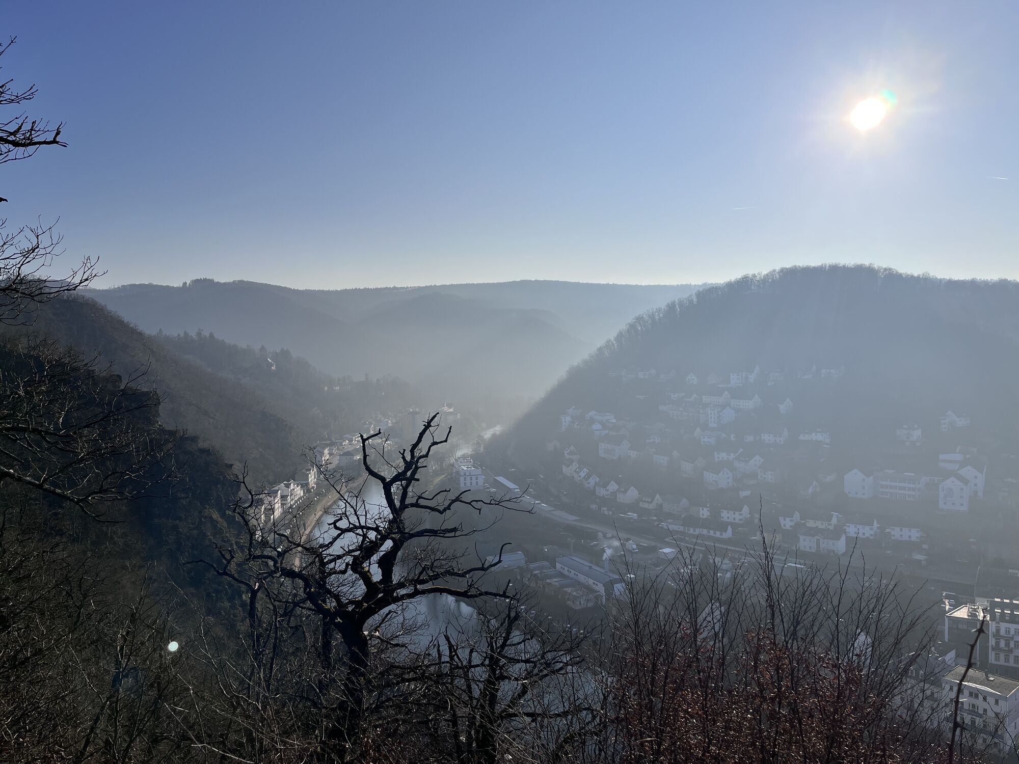
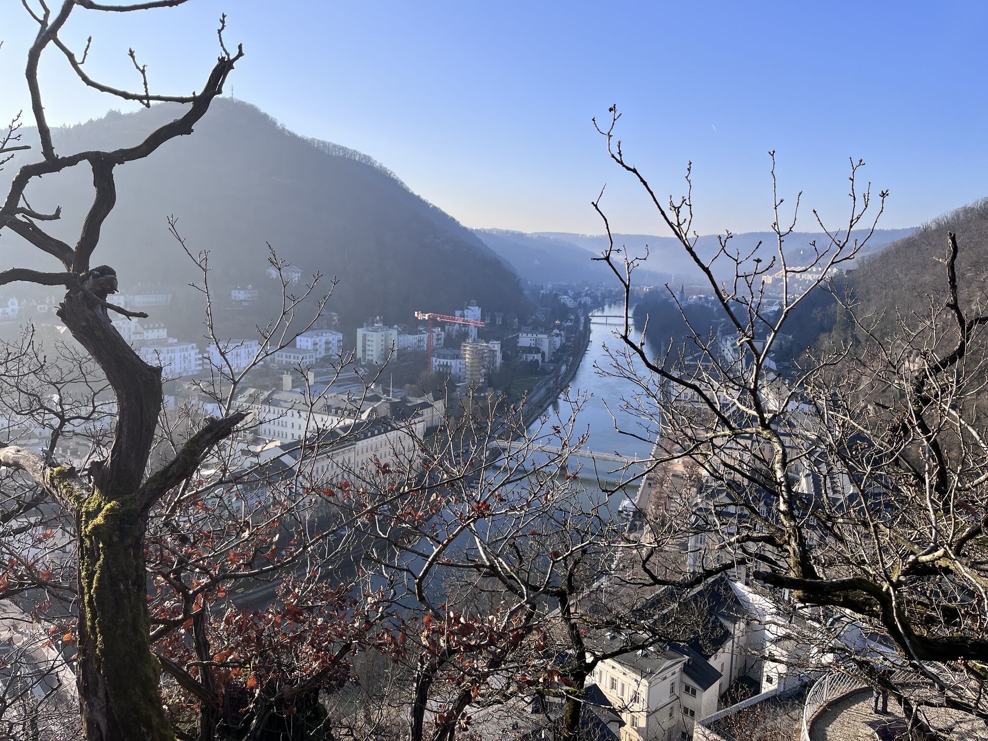
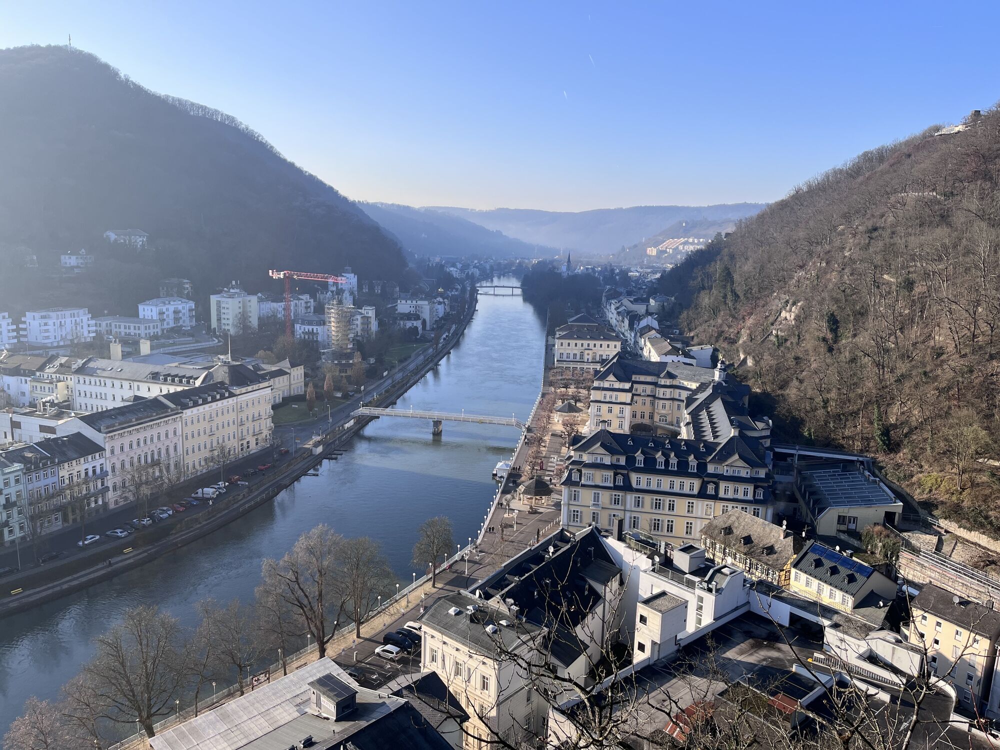
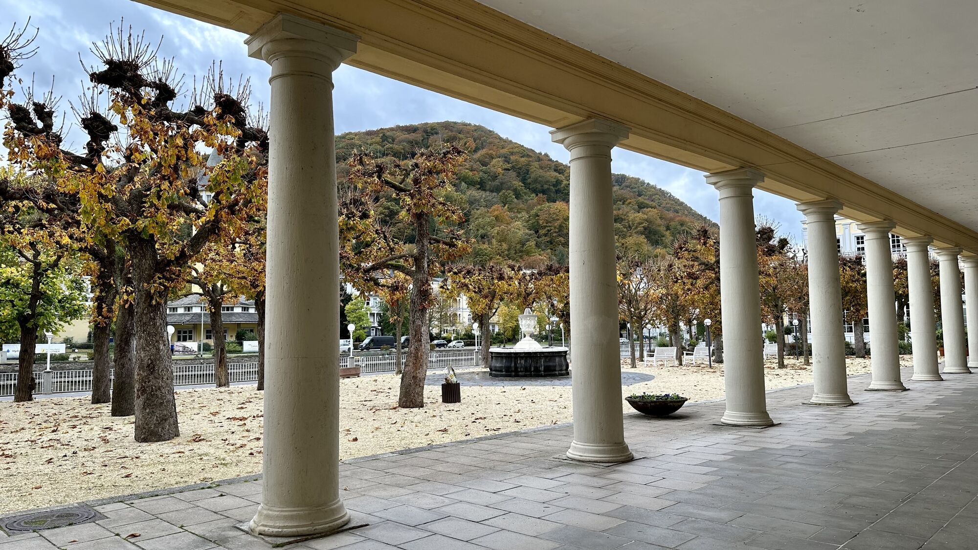
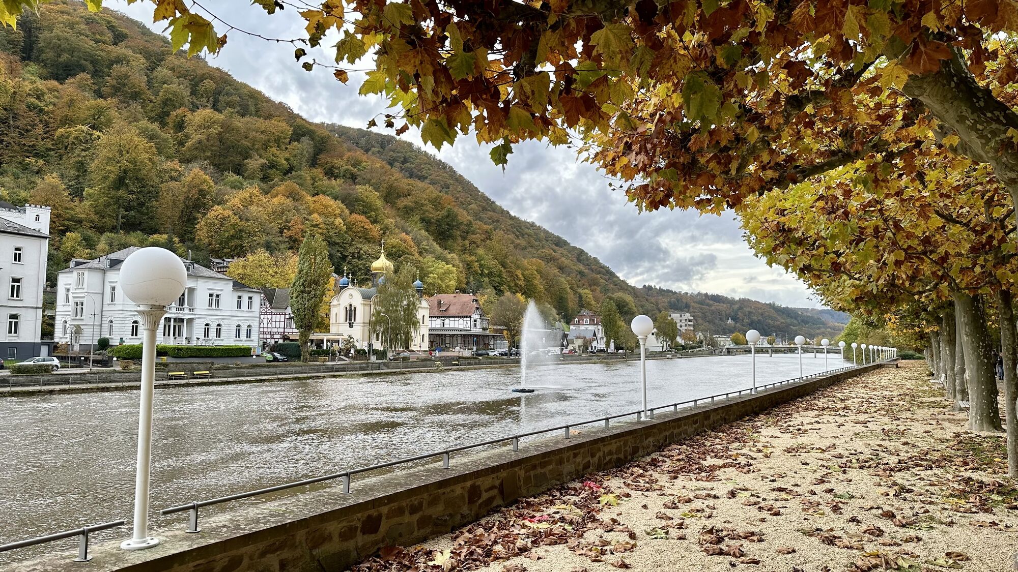
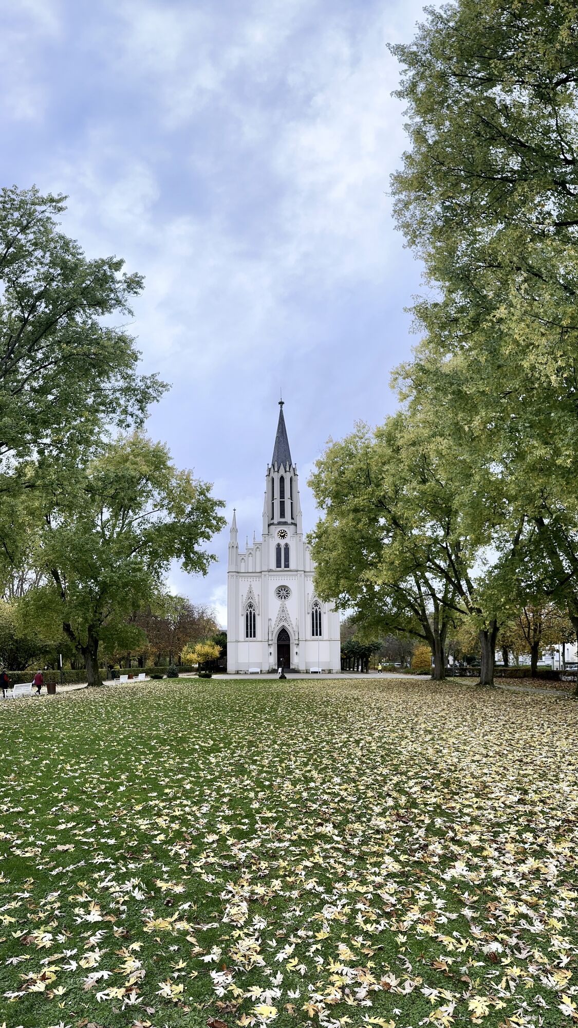


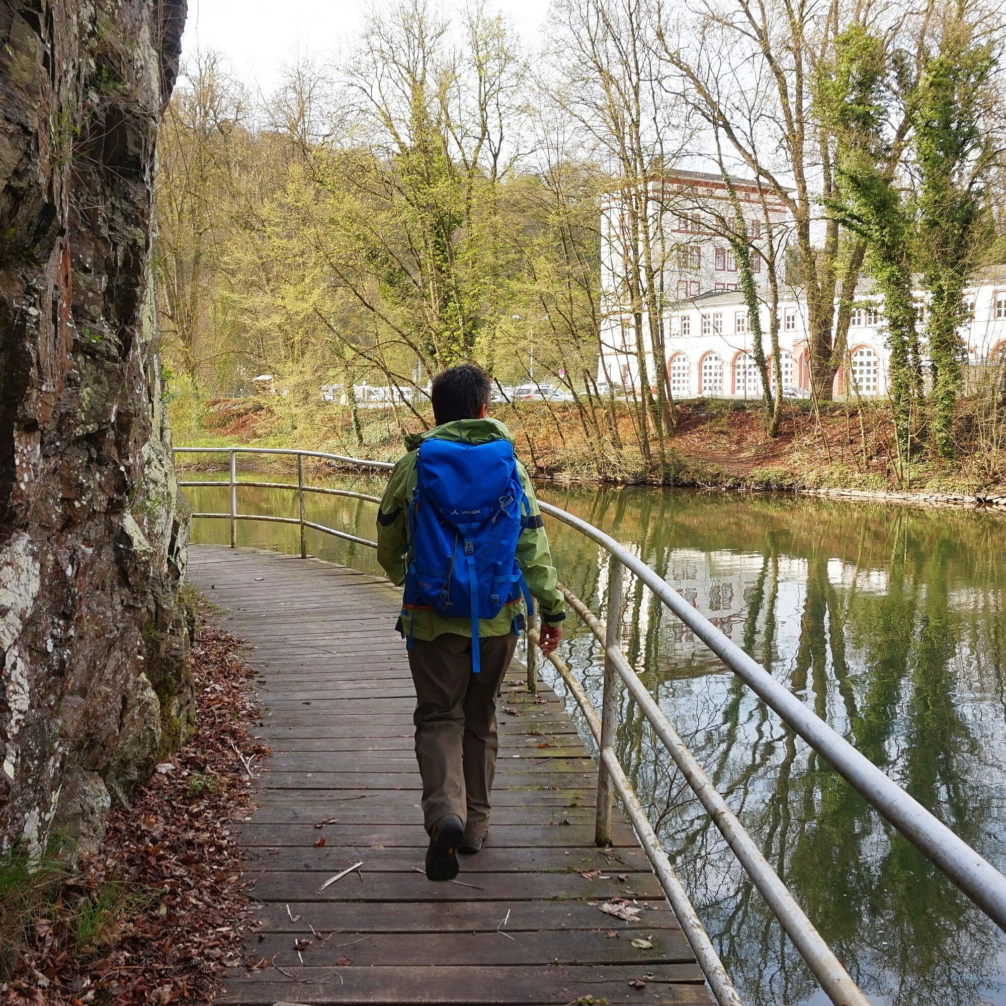
Cheerfully and carefree, the Lahnwanderweg meanders through the landscapes of the Lahn valley and charmingly connects lively places and their sights. Numerous opportunities arise to relax your soul. In...
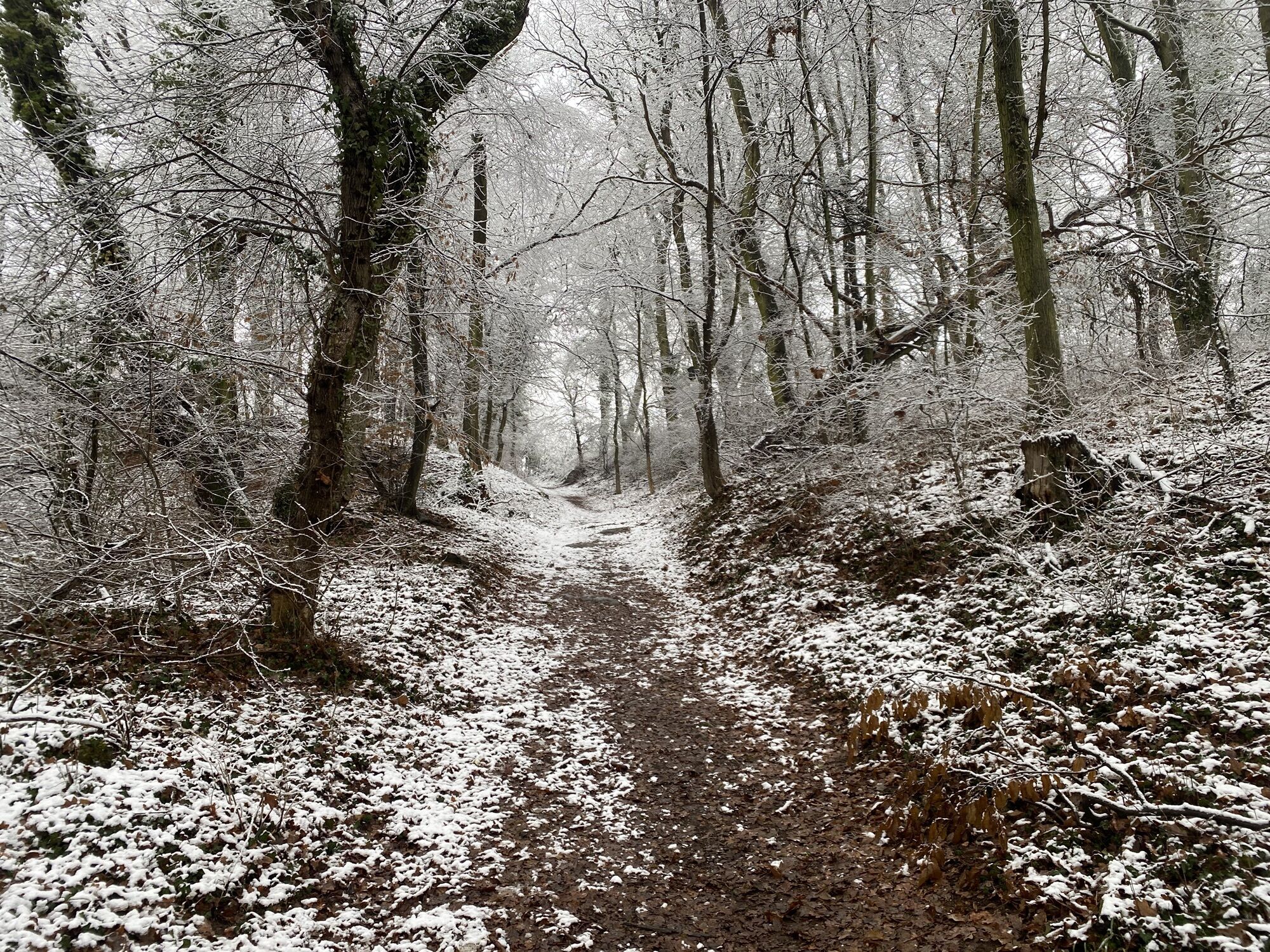
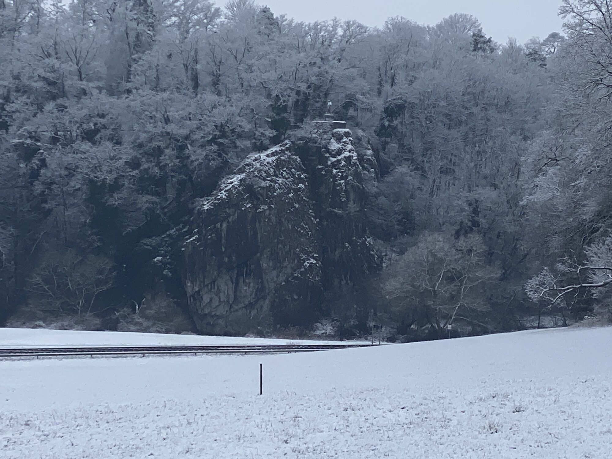
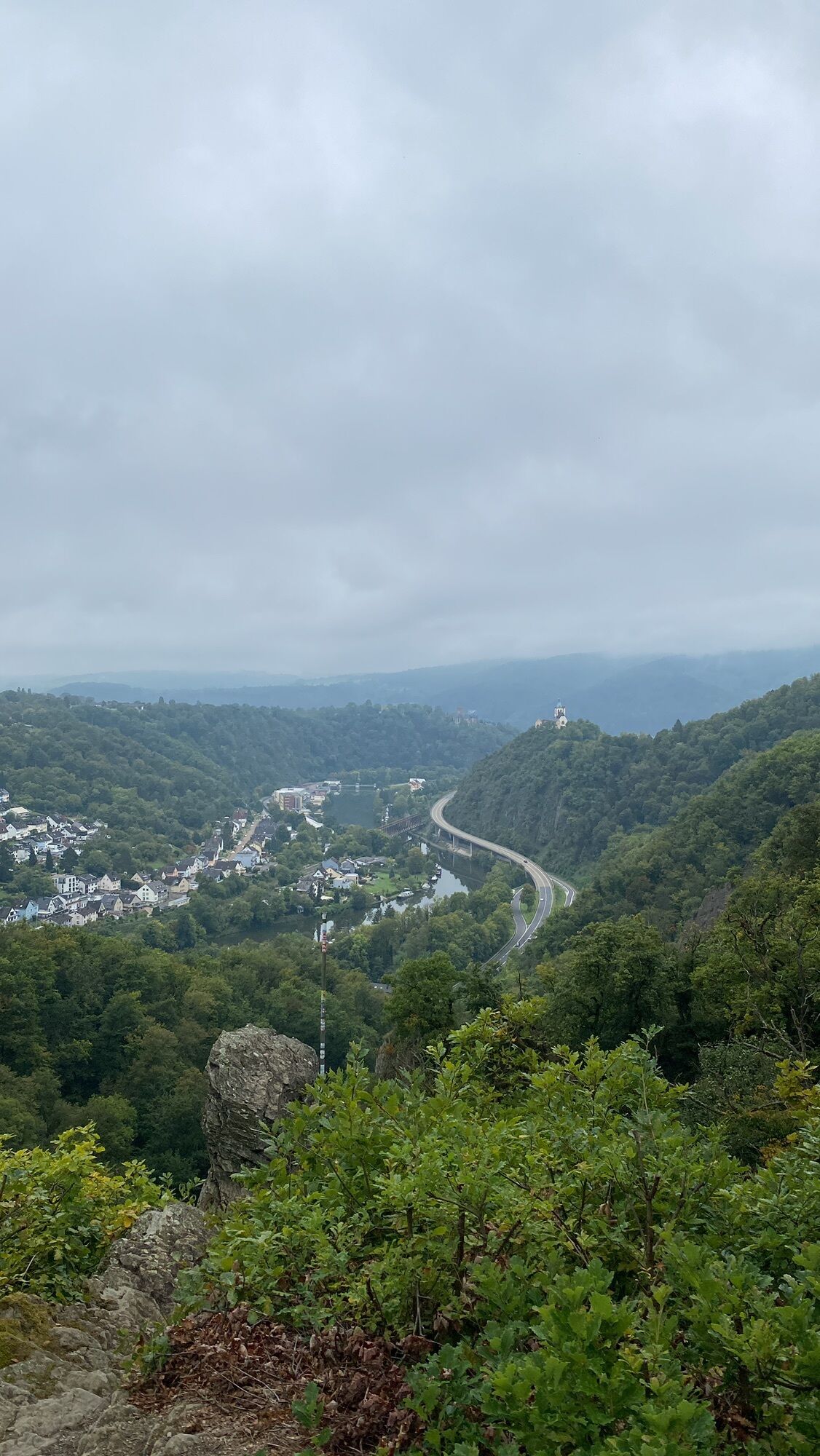
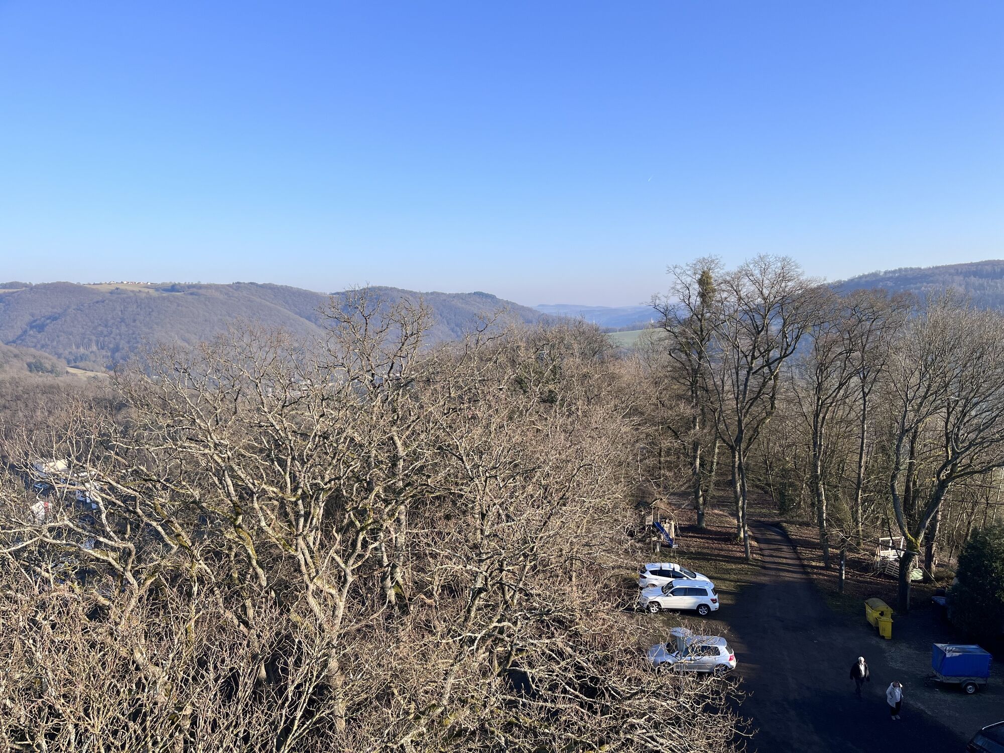
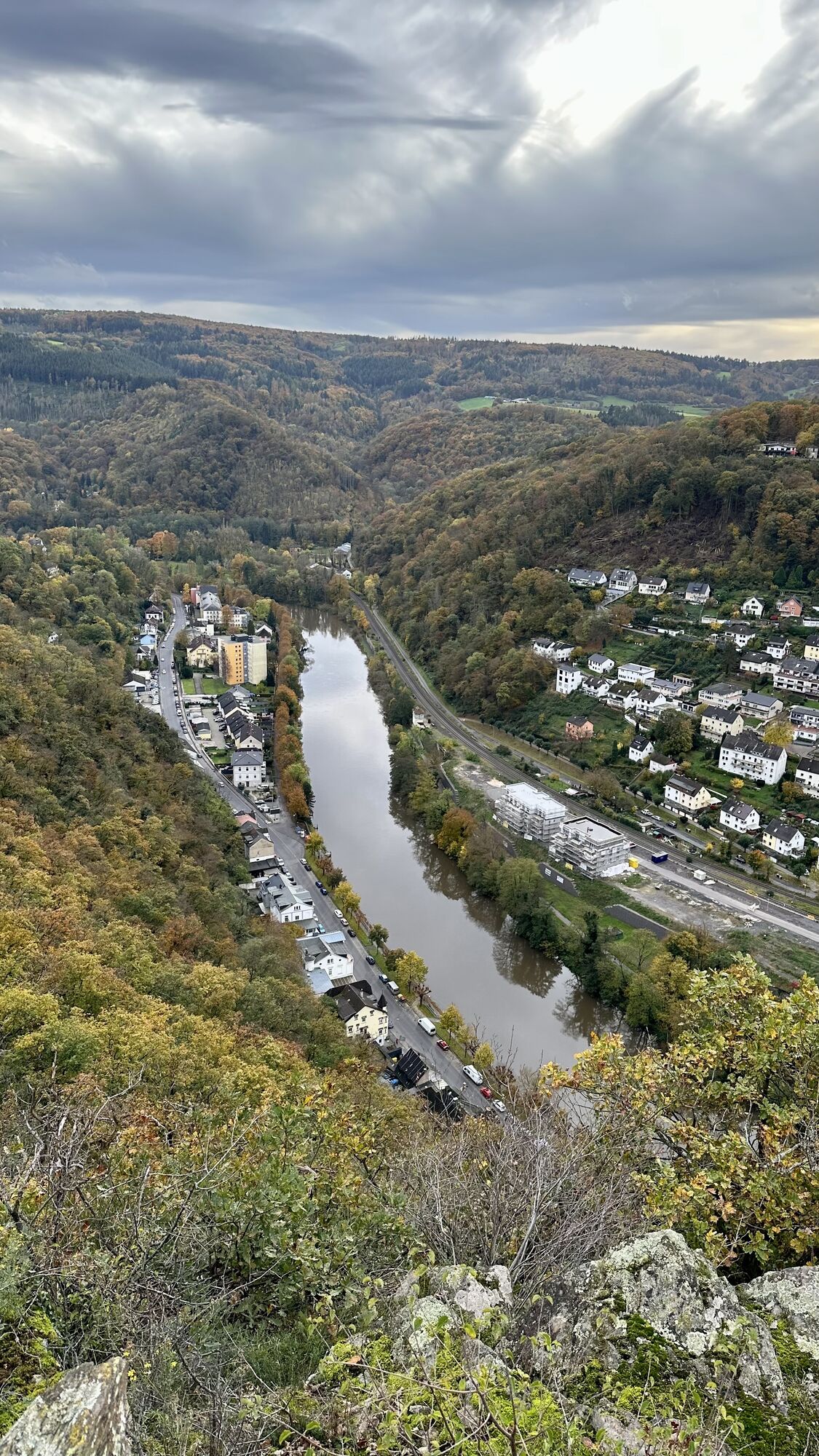
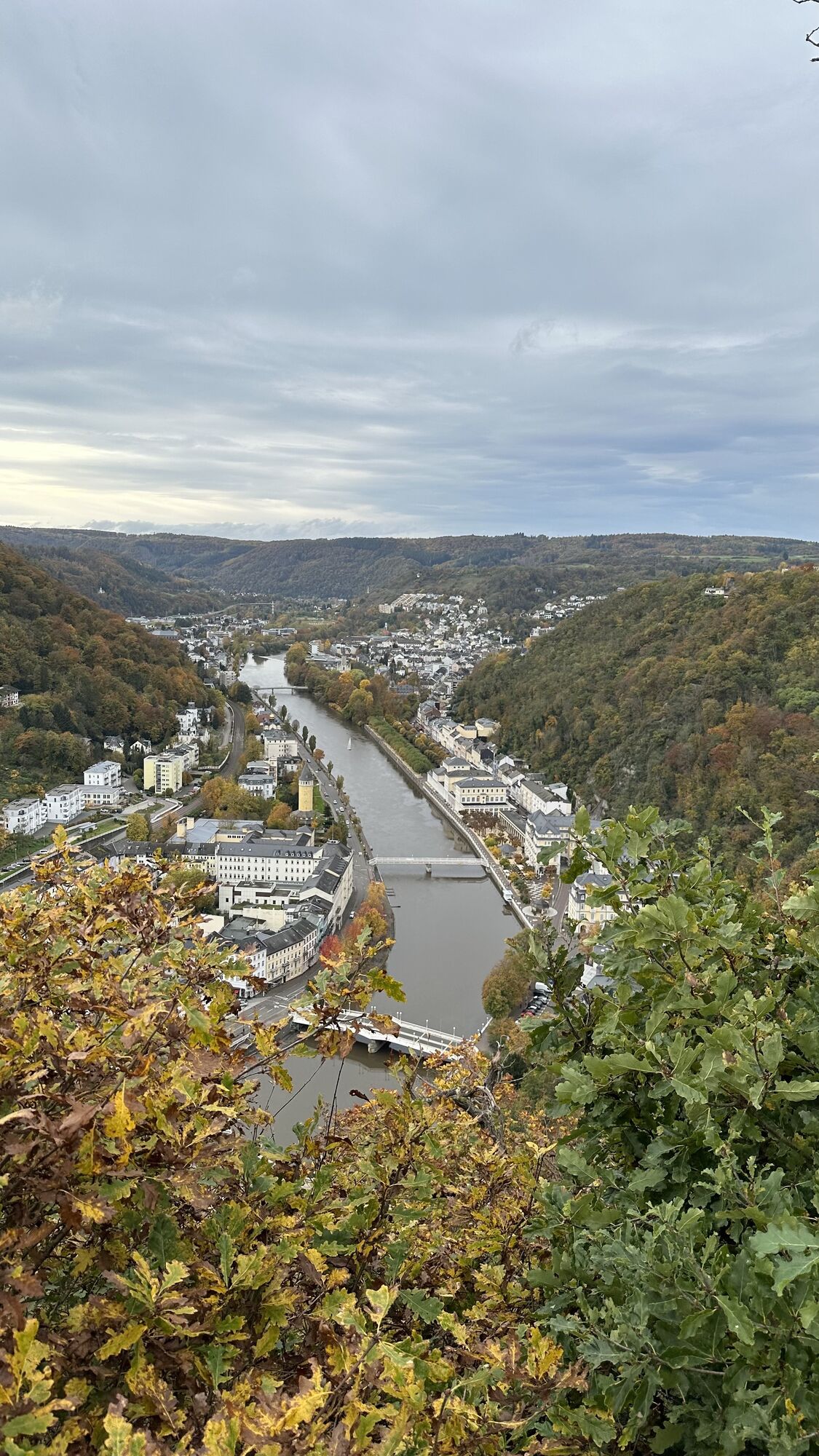
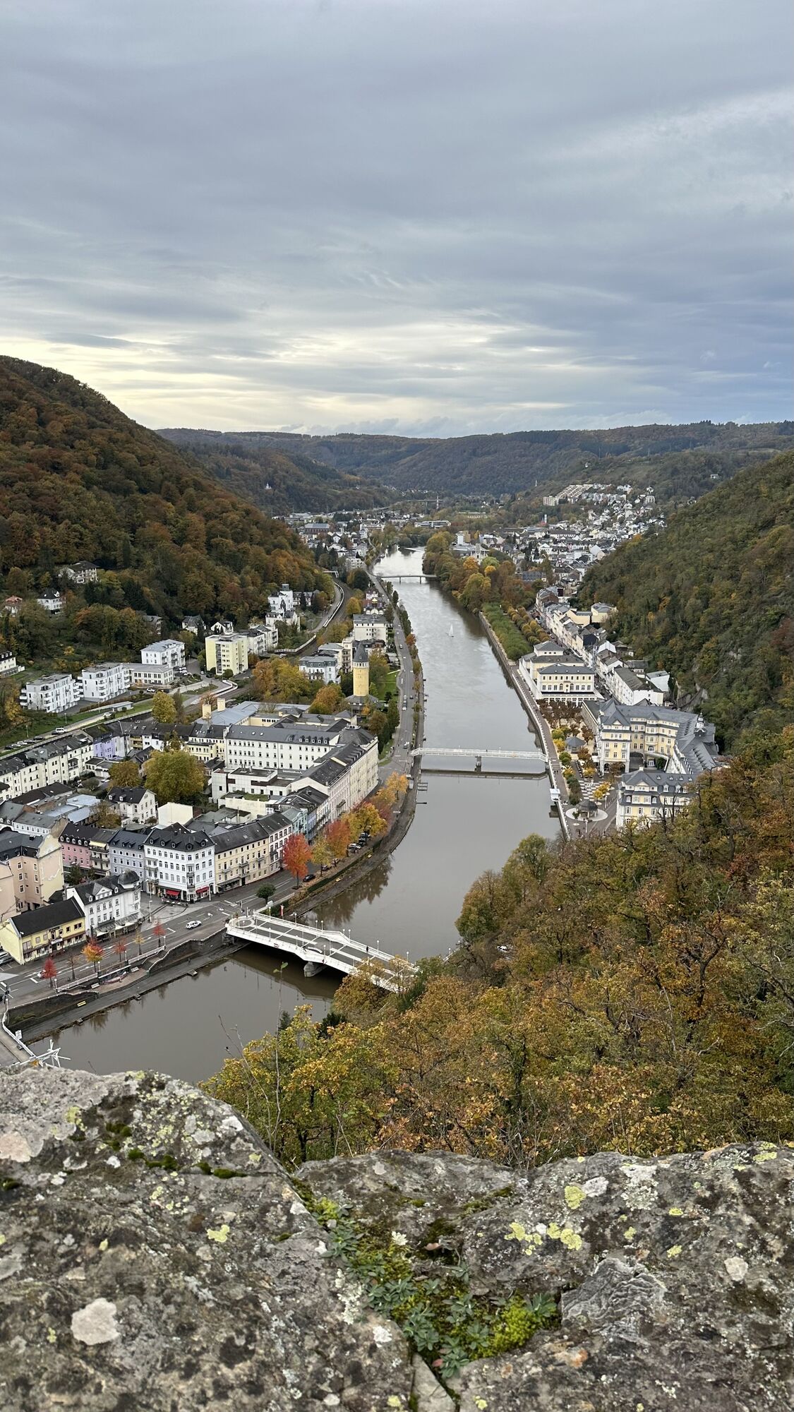
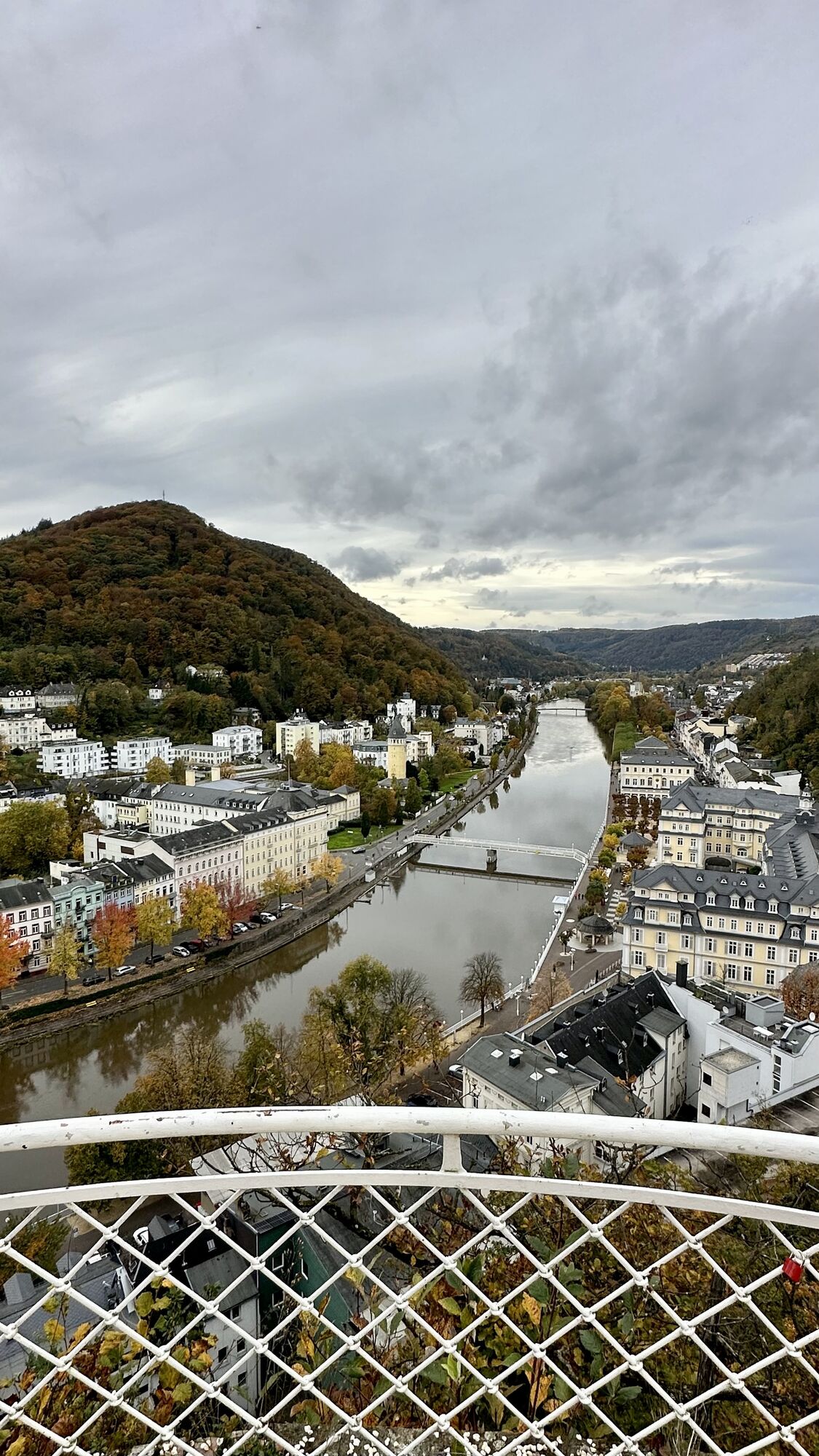
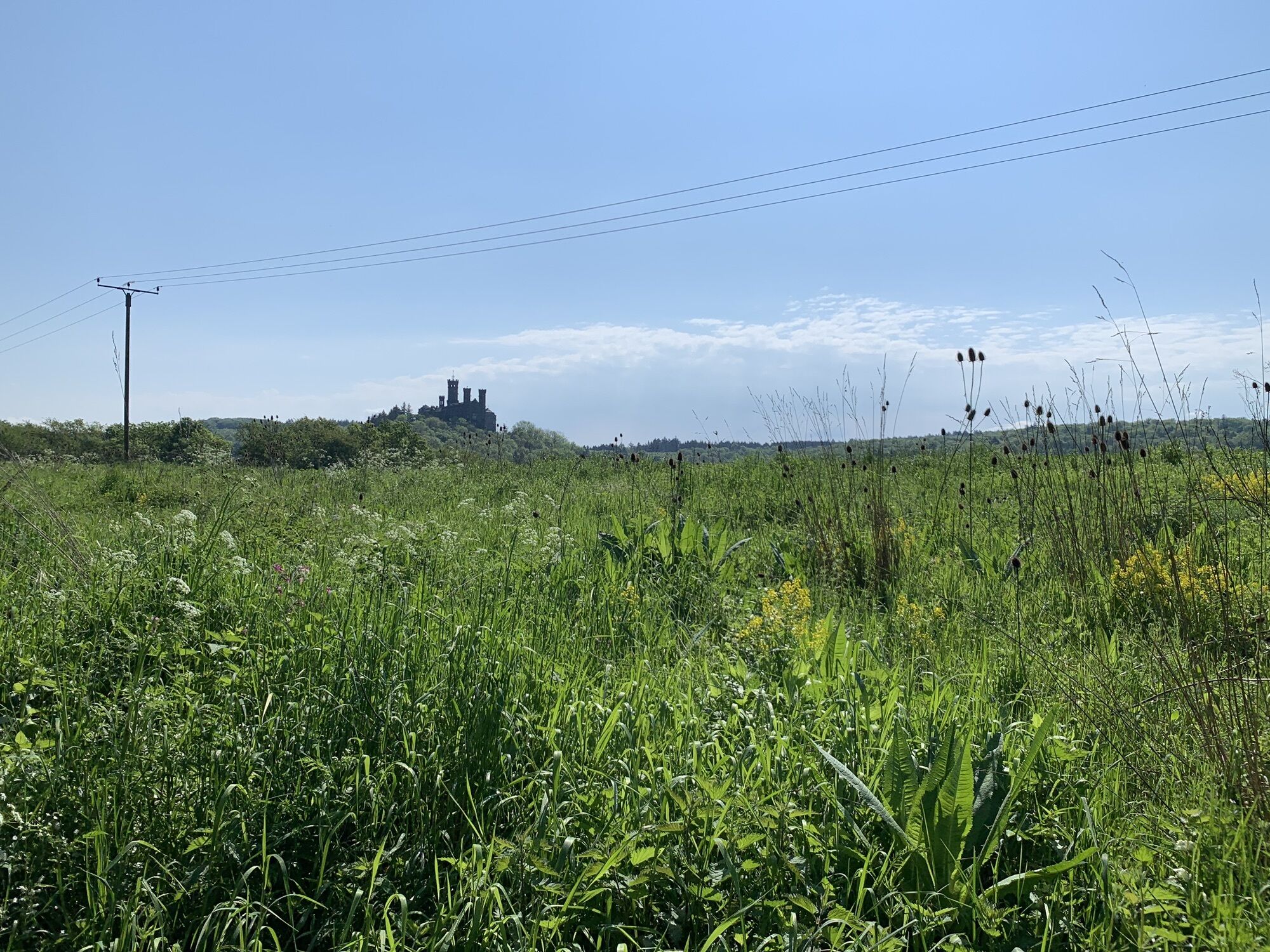
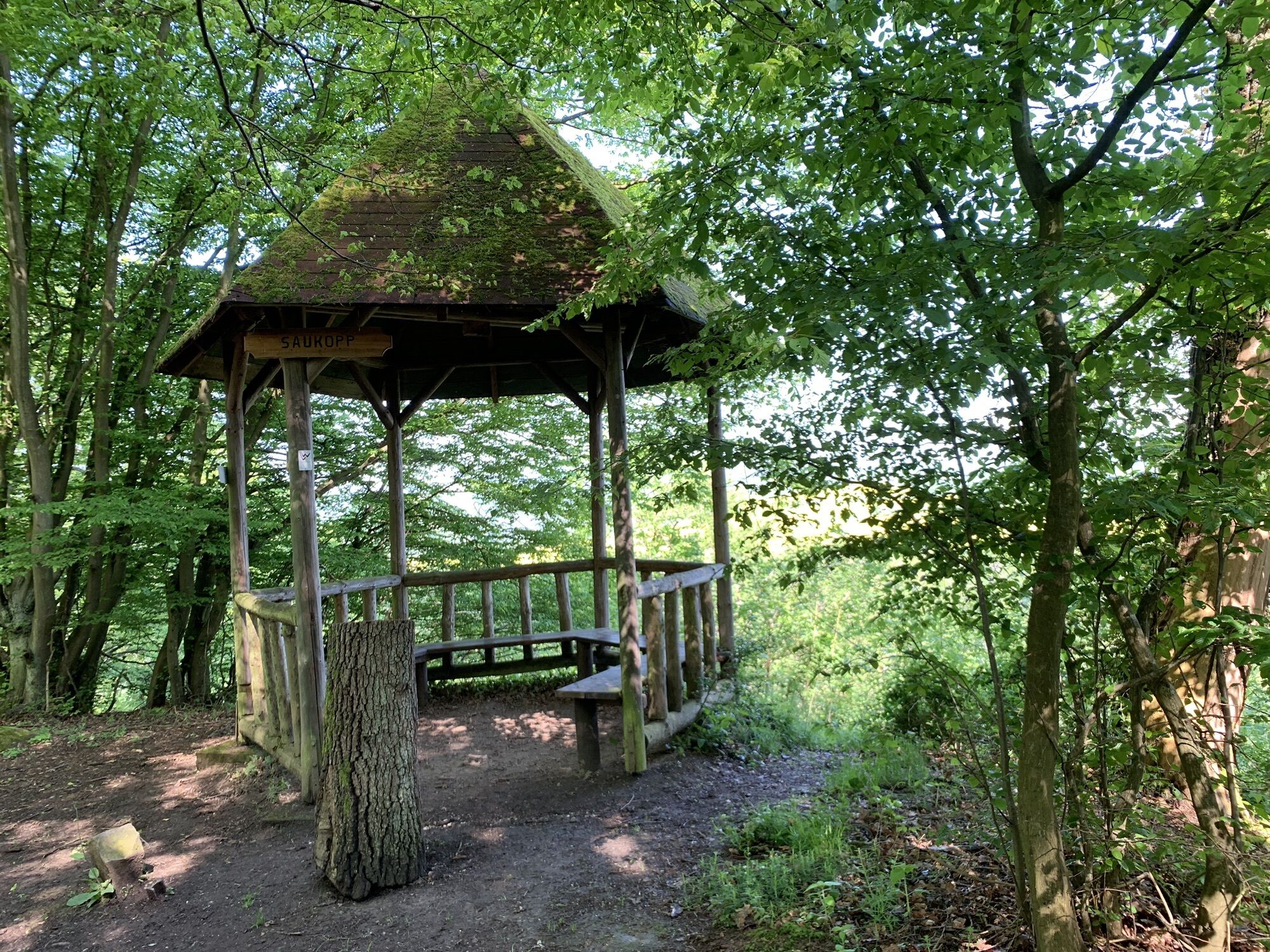
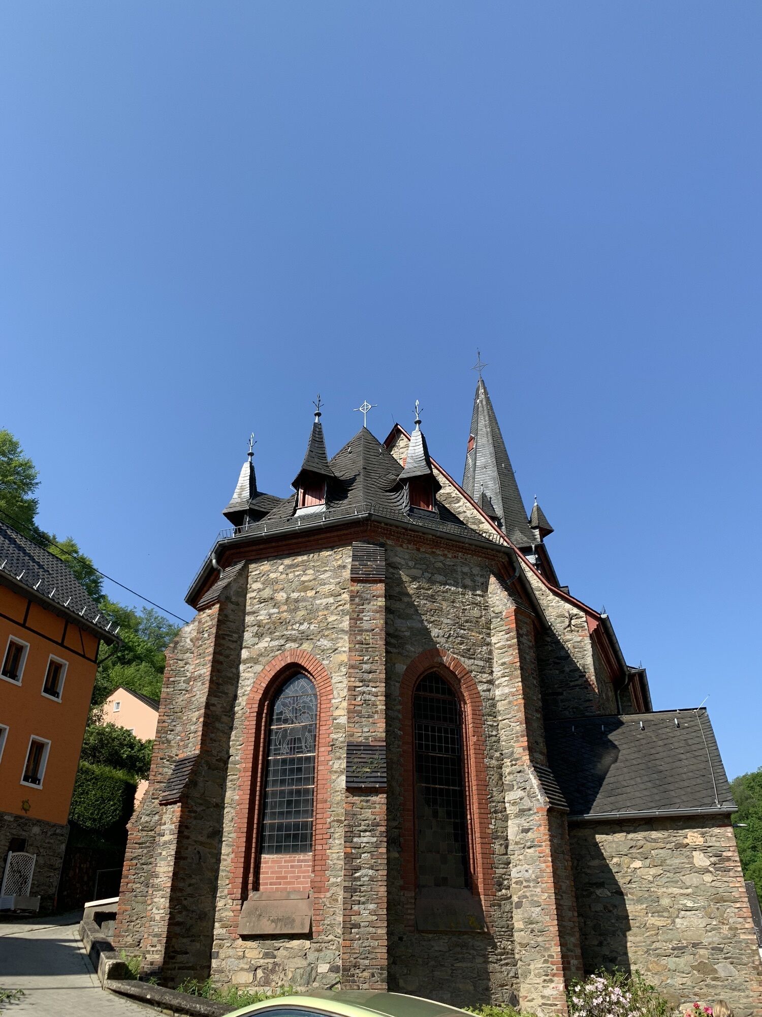
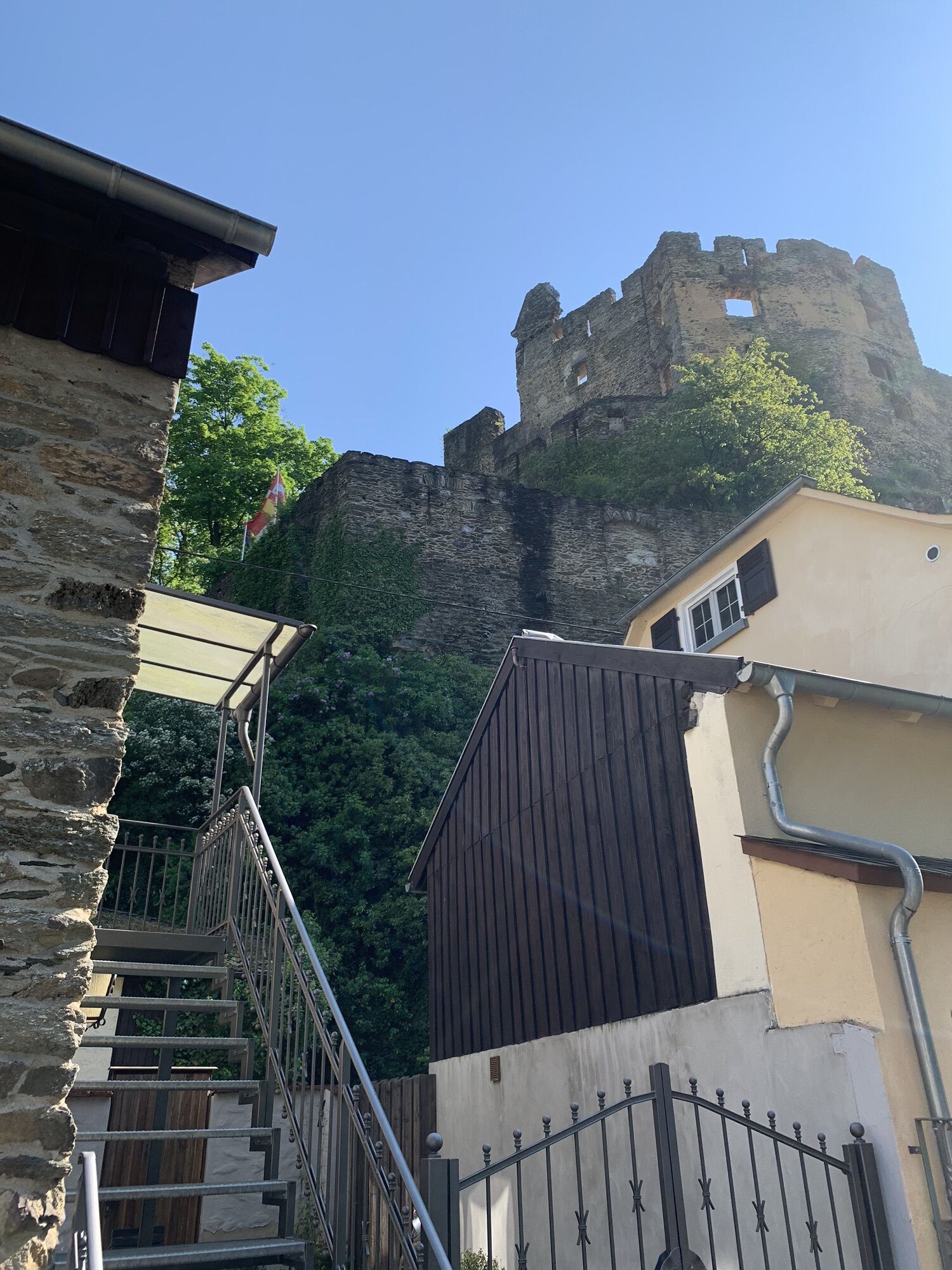
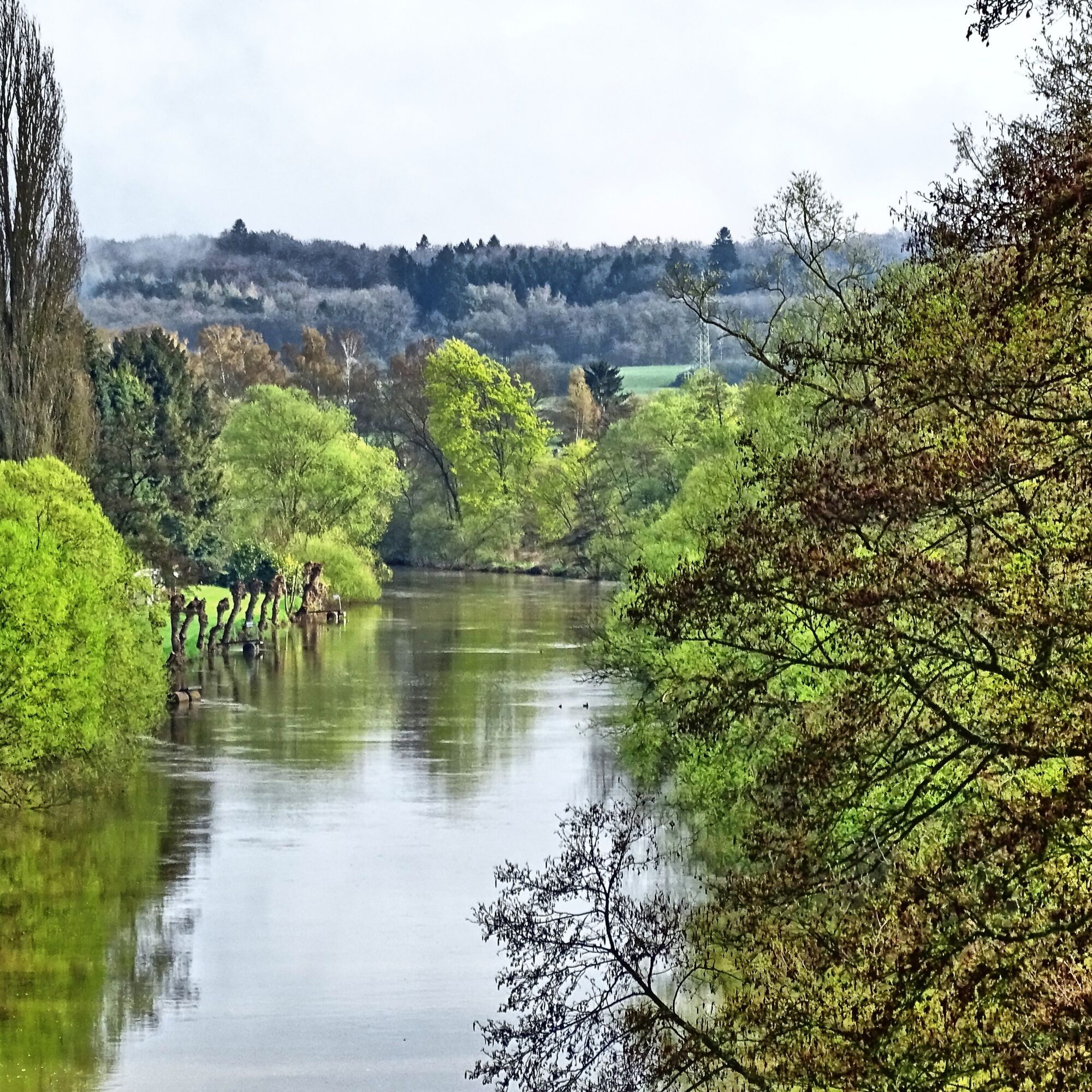
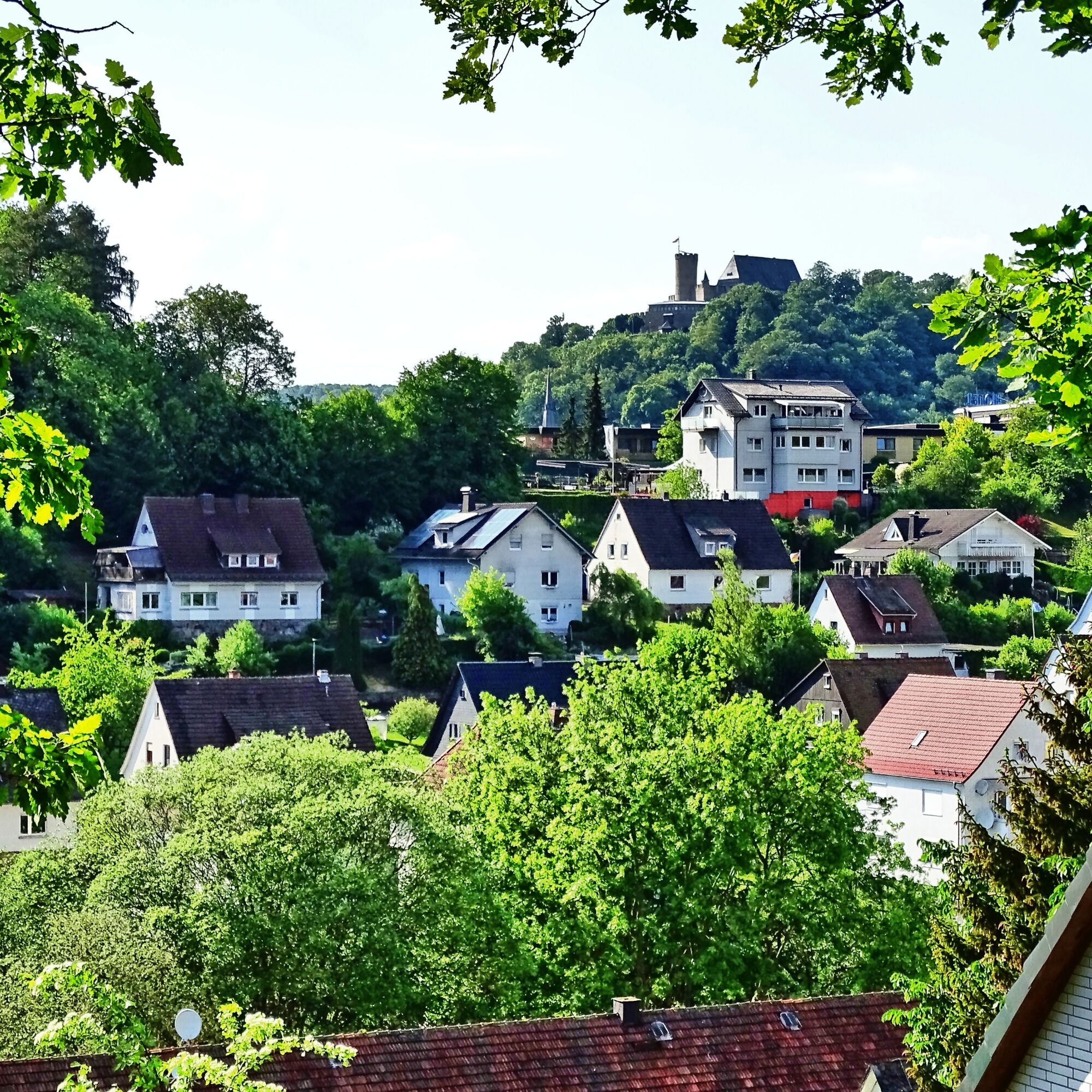
Cheerfully and carefree, the Lahnwanderweg meanders through the landscapes of the Lahn valley and charmingly connects lively places and their sights. Numerous opportunities arise to relax your soul. In the lower Lahn valley, the river winds romantically along towering cliffs. The floodplain landscapes in the middle Lahn valley offer plenty of open space for the eyes, and the landscape in the upper Lahn valley and at the Lahn source is enchantingly magical. Over some 290 kilometers, the Lahnwanderweg shows the whole beauty of the river valley with its sublime castles and palaces, its lively villages and towns, and its calm forests and floodplains. You can even dare a light climbing passage. In any case, grand views present themselves again and again. And the train connections are excellent.

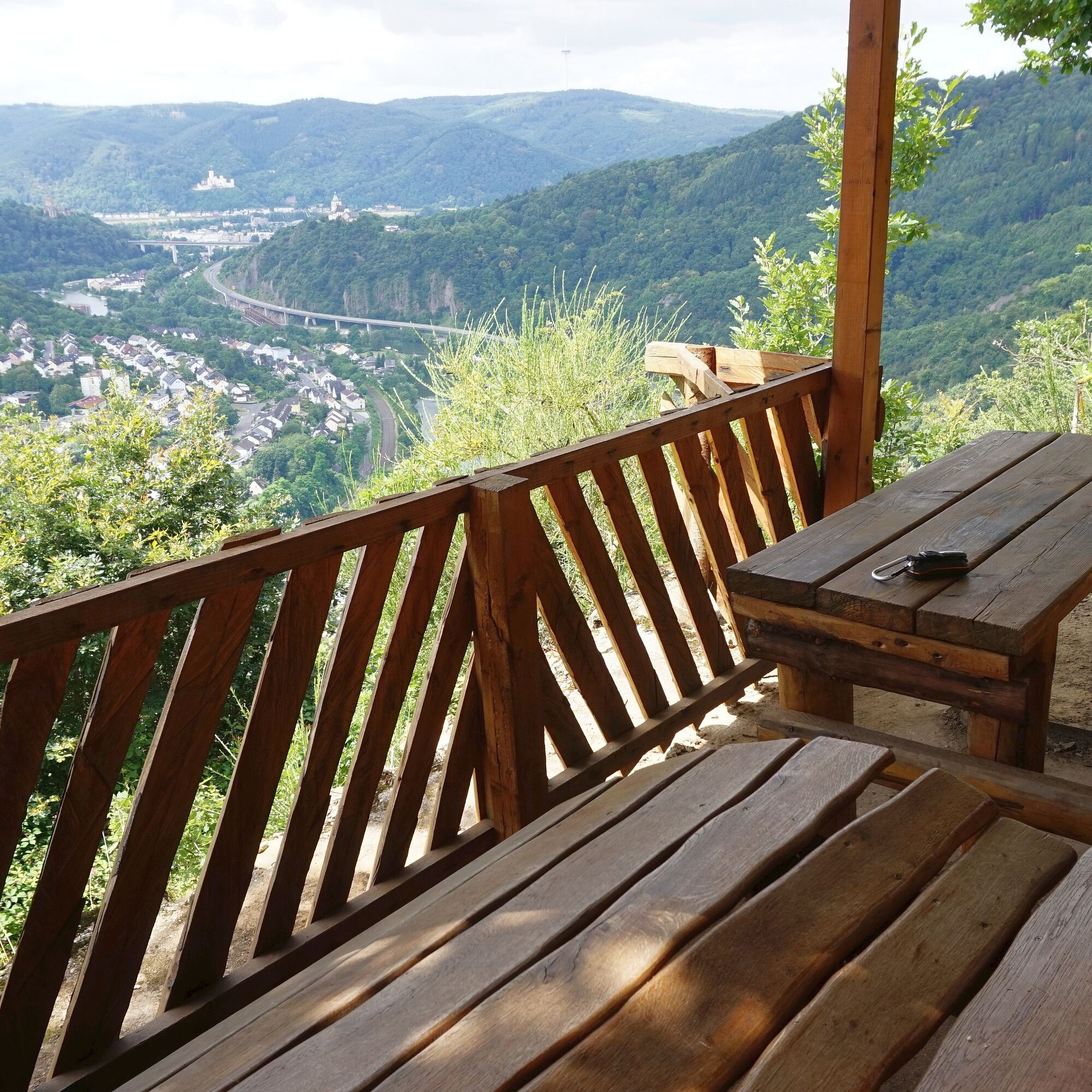
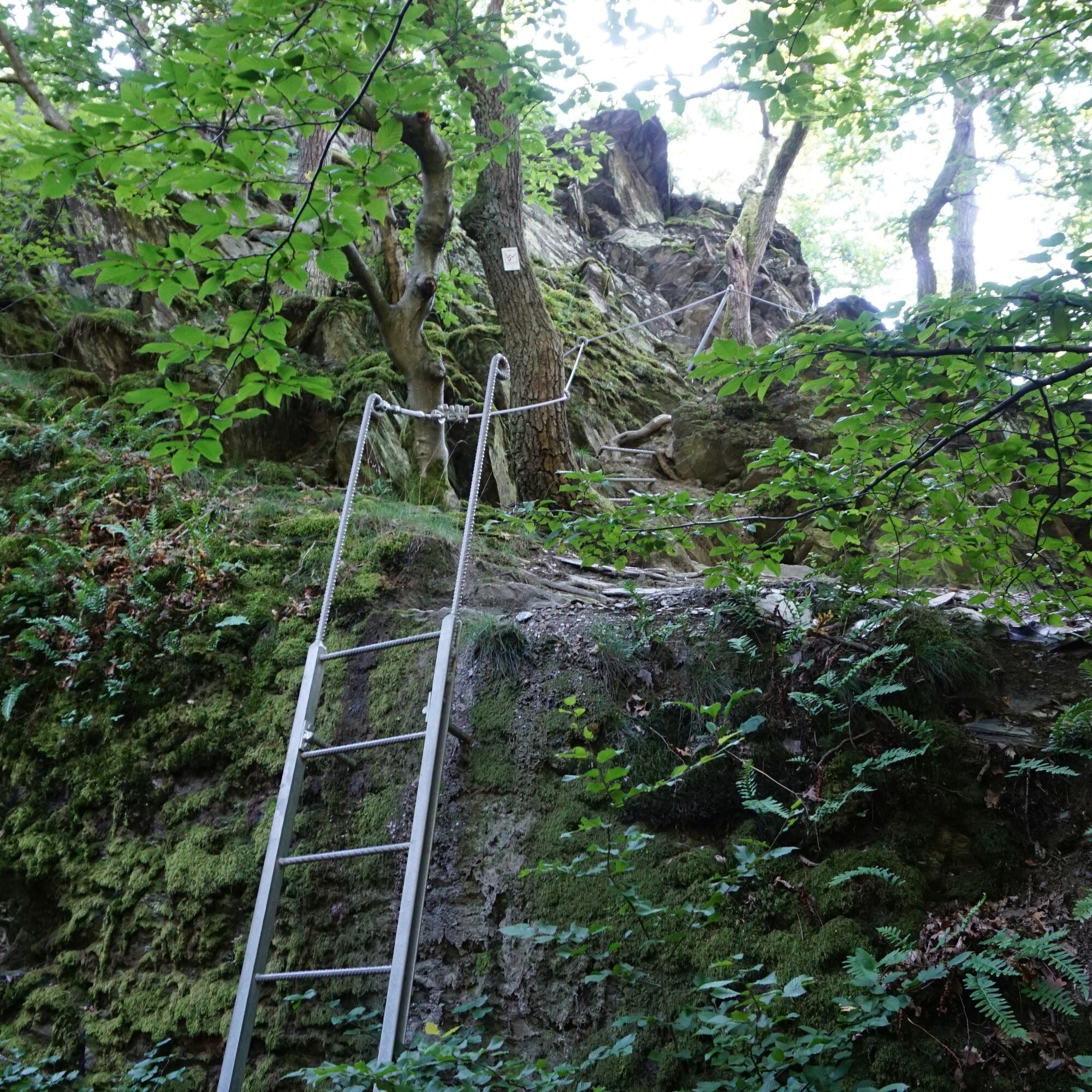
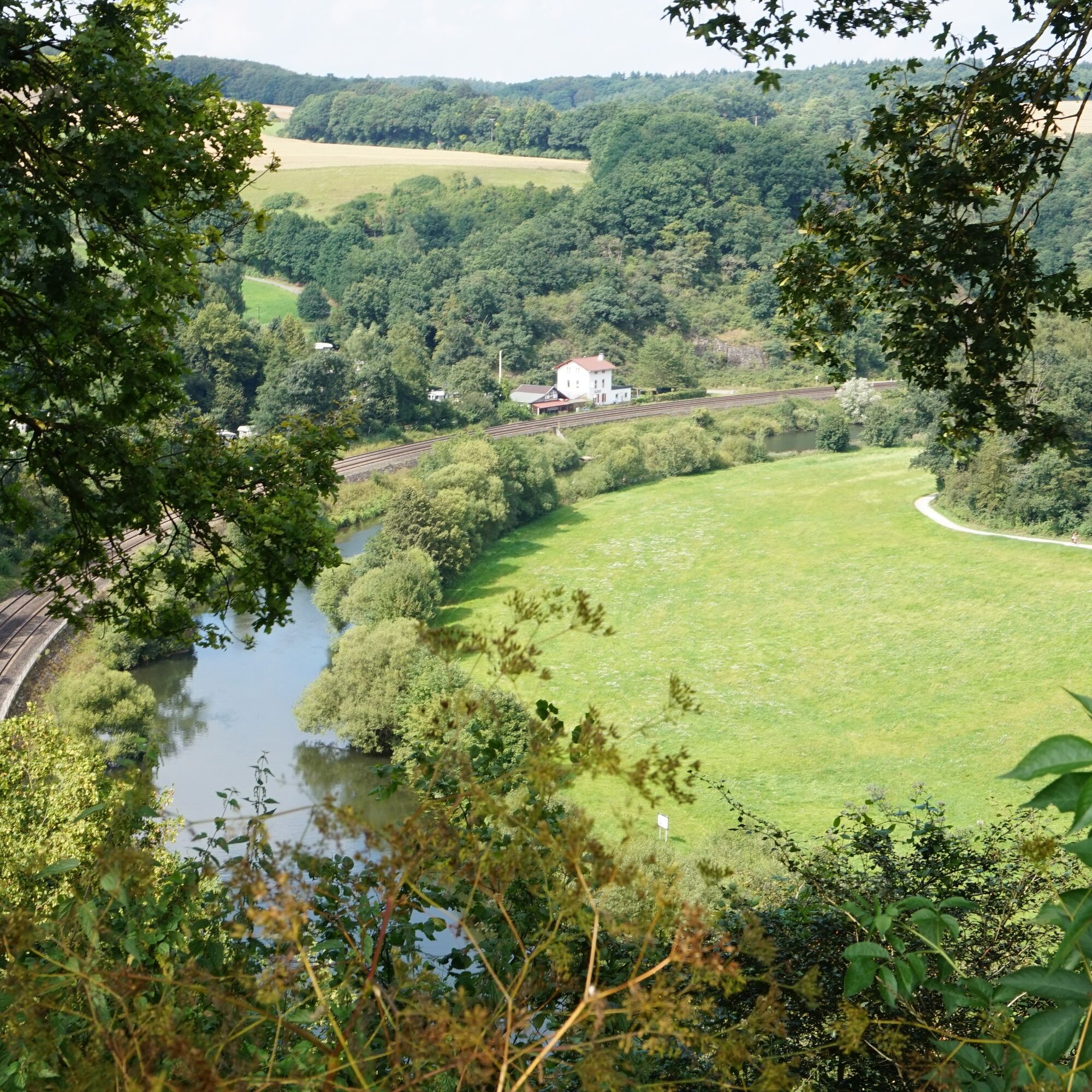
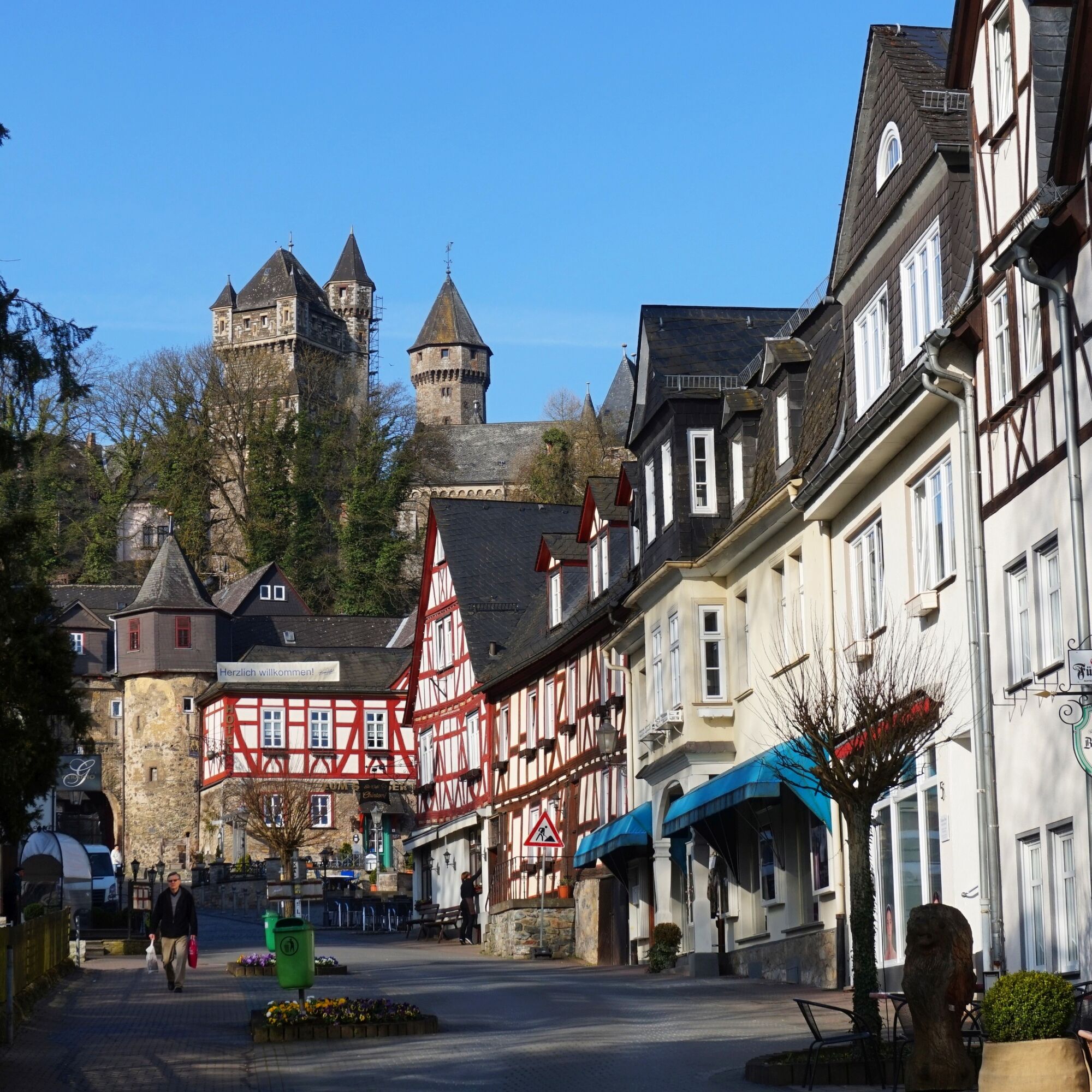
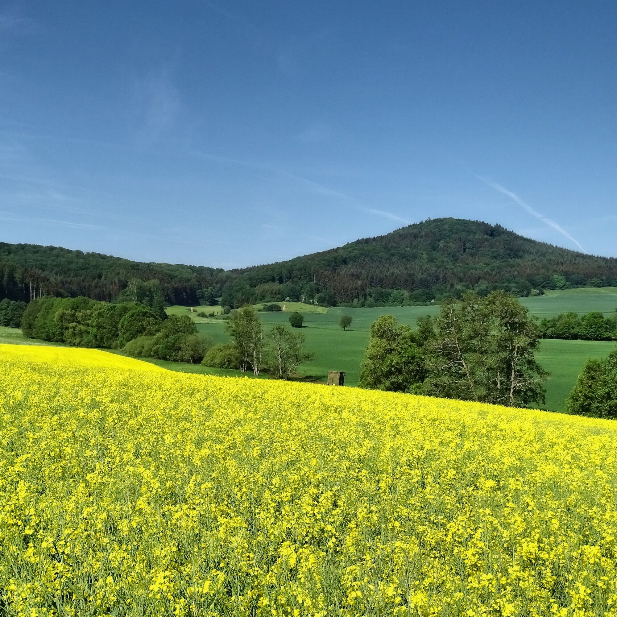
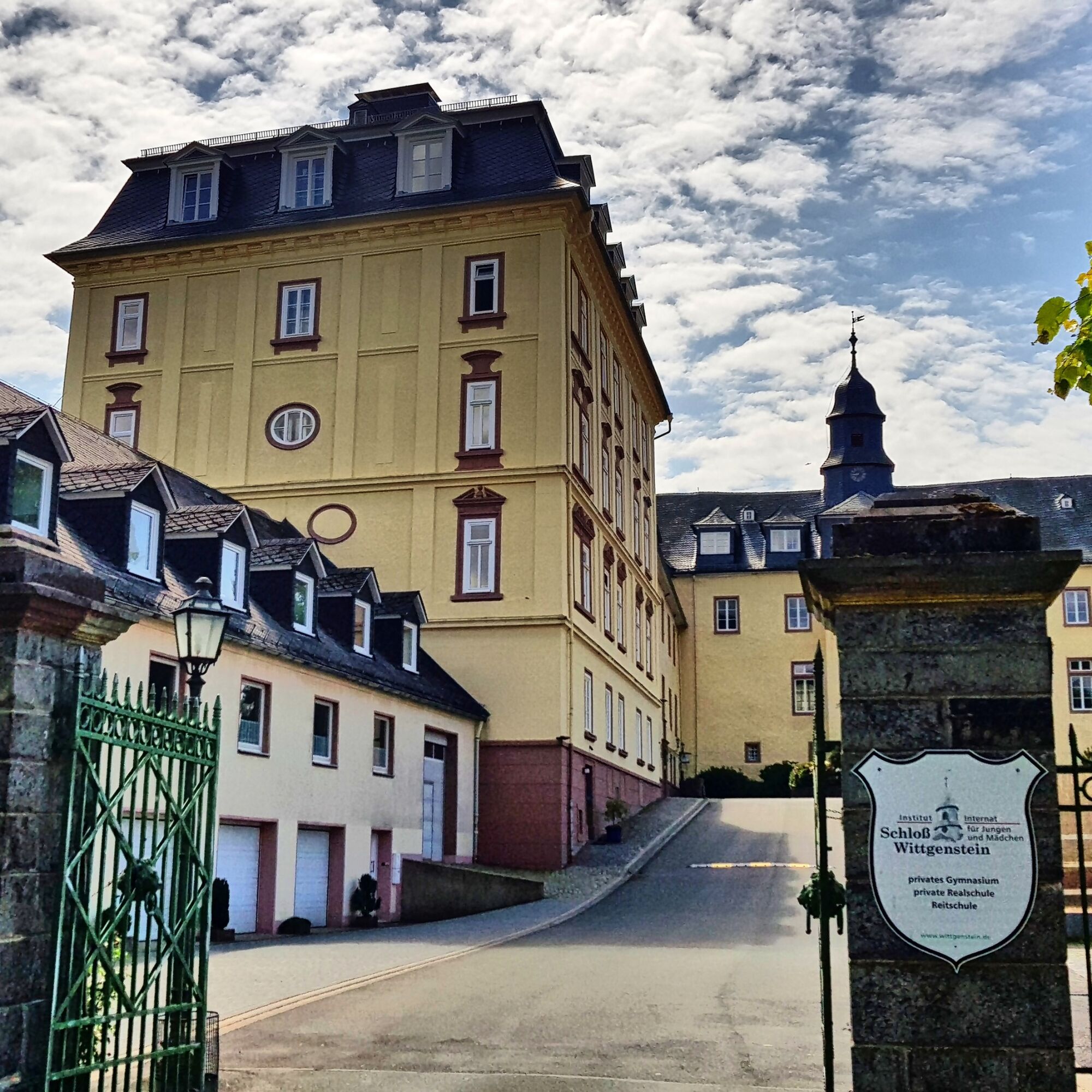

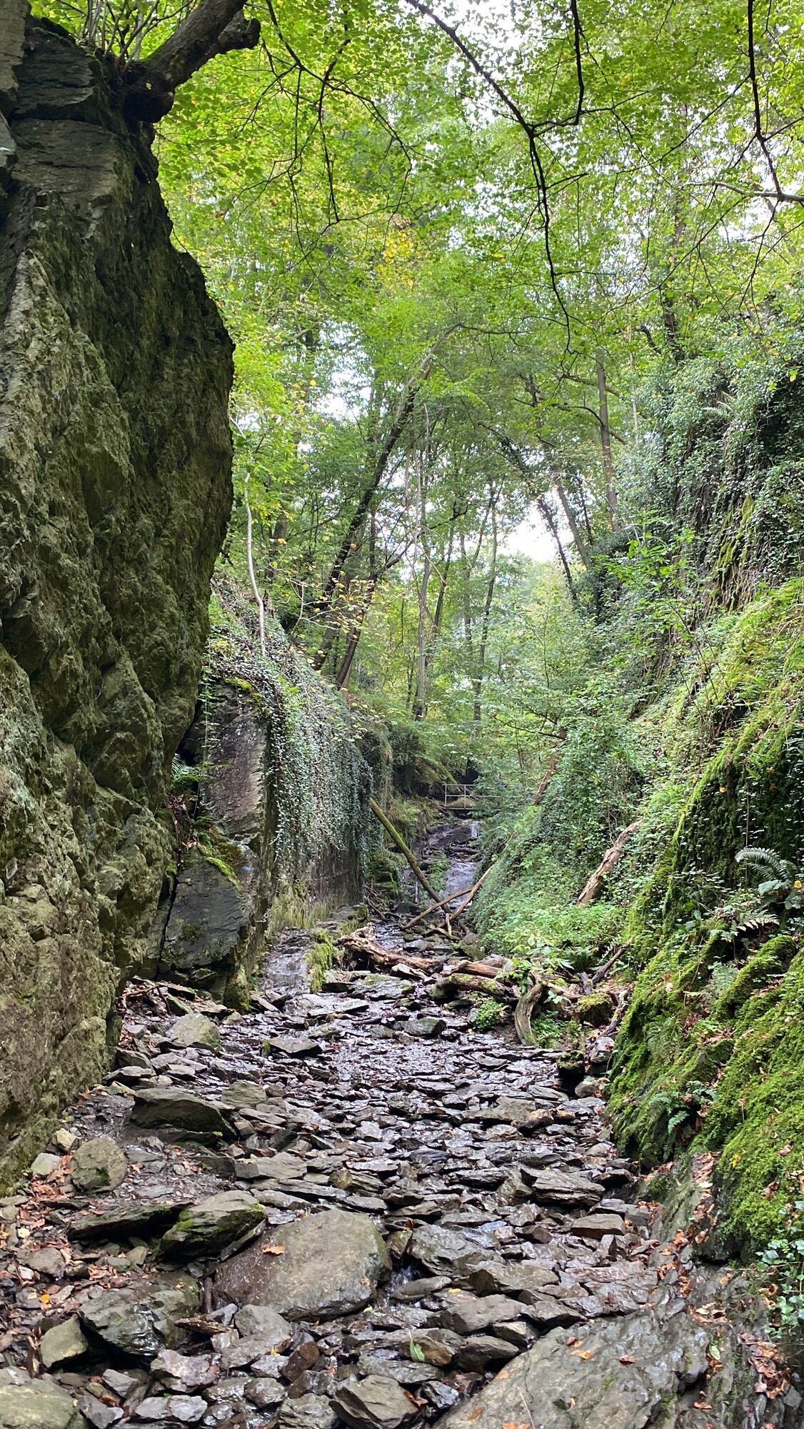
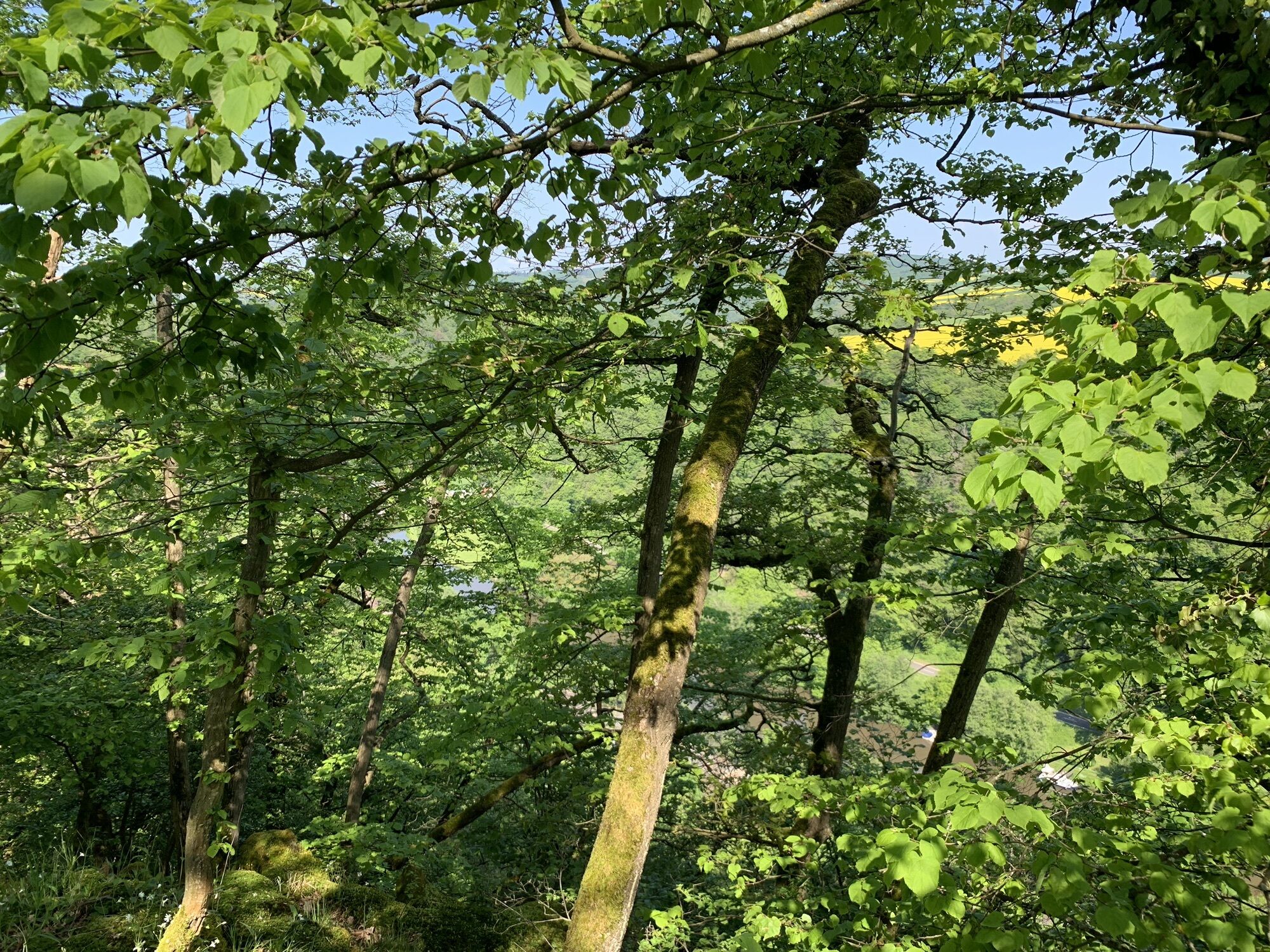
The daily stages start on the banks of the Lahn and mostly lead up into the heights and into the side valleys. This way, cyclists and hikers do not get in each other's way. The Lahnwanderweg passes by numerous castles and palaces. Interesting rock formations and viewpoints complete the hiking pleasure. There is even an extremely exciting scenic stretch. The Kammweg (small via ferrata) in front of the Goethepunkt near Obernhof is just right for the brave. However, there is also a comfortable alternative. Underground experiences such as the Kubach Crystal Cave or the exciting Ruppertsklamm provide cooling on hot summer days.
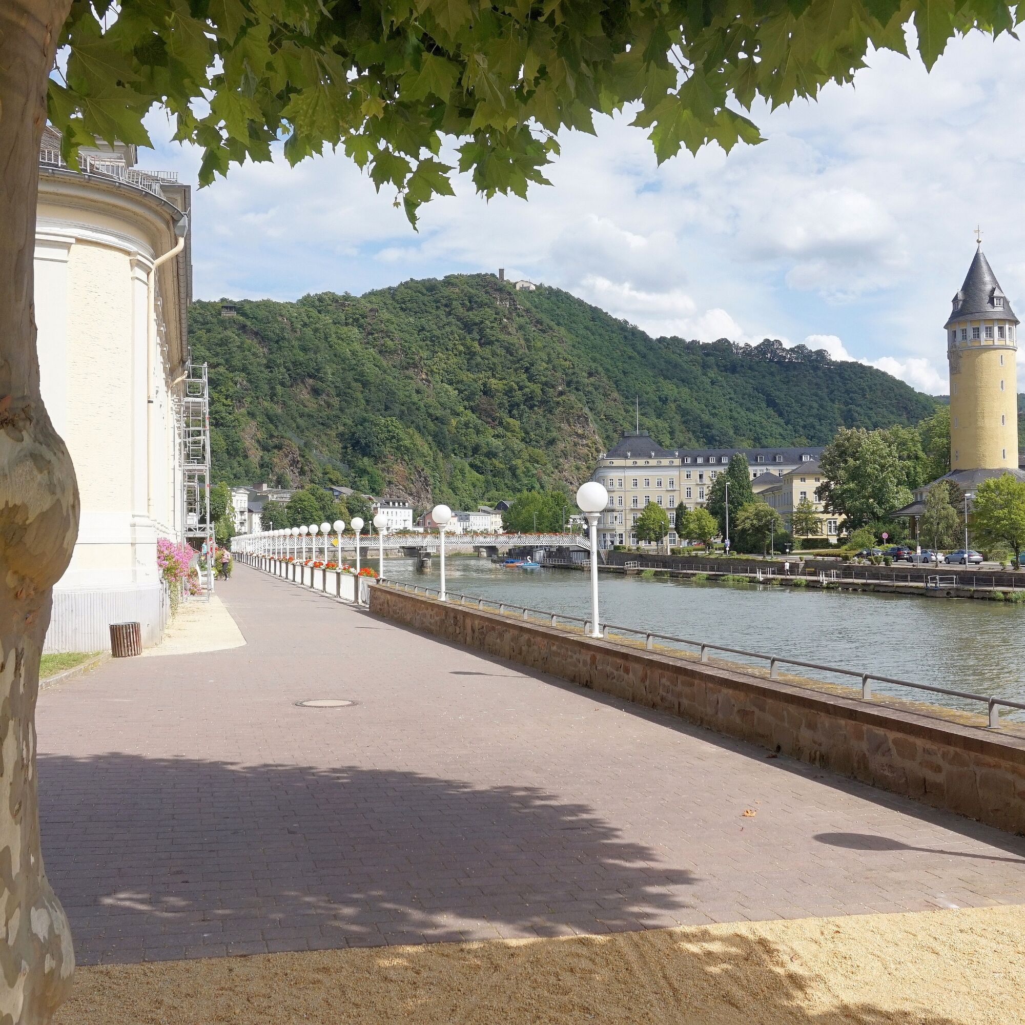
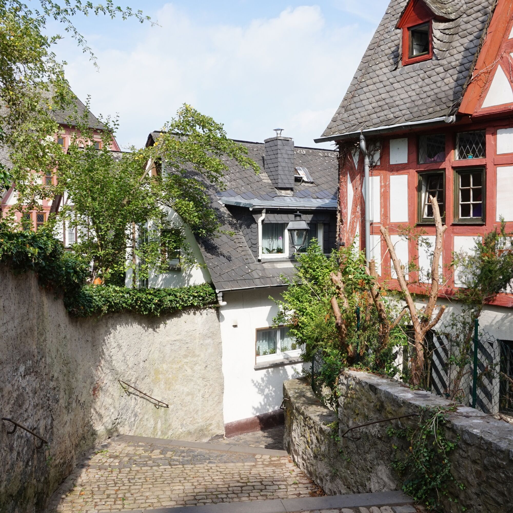
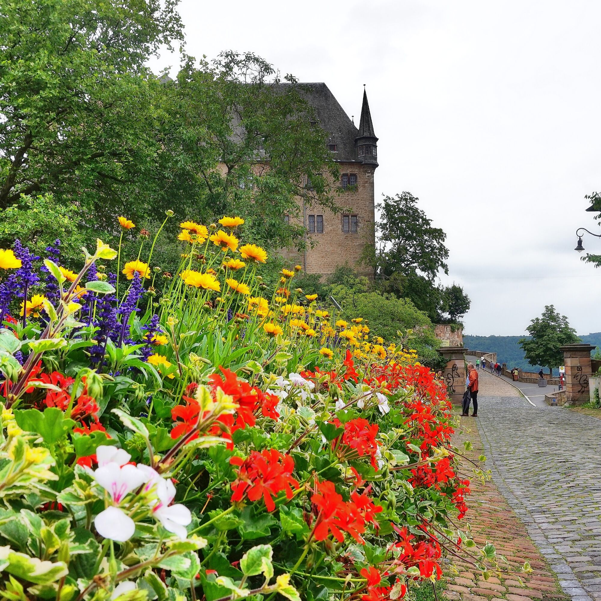
The Lahnwanderweg also connects many towns such as Lahnstein, Bad Ems, Nassau, Diez, Limburg, Weilburg, Braunfels, Wetzlar, Gießen, Marburg, Biedenkopf, and Bad Laasphe. At the end of the stages, you can often cool your feet in the Lahn or a Kneipp pool or even swim a few laps in the outdoor pool.
Those who want to hike the Lahnwanderweg in one go will need about three weeks of vacation. But thanks to excellent train connections at the respective start and end points, the path can also be tackled in 19 daily stages. The entire route, heading towards the source, begins at the Lahn estuary in Lahnstein, Rhineland-Palatinate. After the first beautiful kilometers through Rhineland-Palatinate, the Lahnwanderweg leads through Hesse and finally ends after more than 290 hiking kilometers in the Rothaargebirge in North Rhine-Westphalia at the Lahn source at 628 meters above sea level.
Those who have the choice have the torment, because the Lahnwanderweg is excellently marked in both directions. Here you can find the Lahnwanderweg heading towards the estuary.
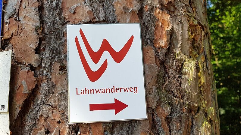
Marking and Signposting
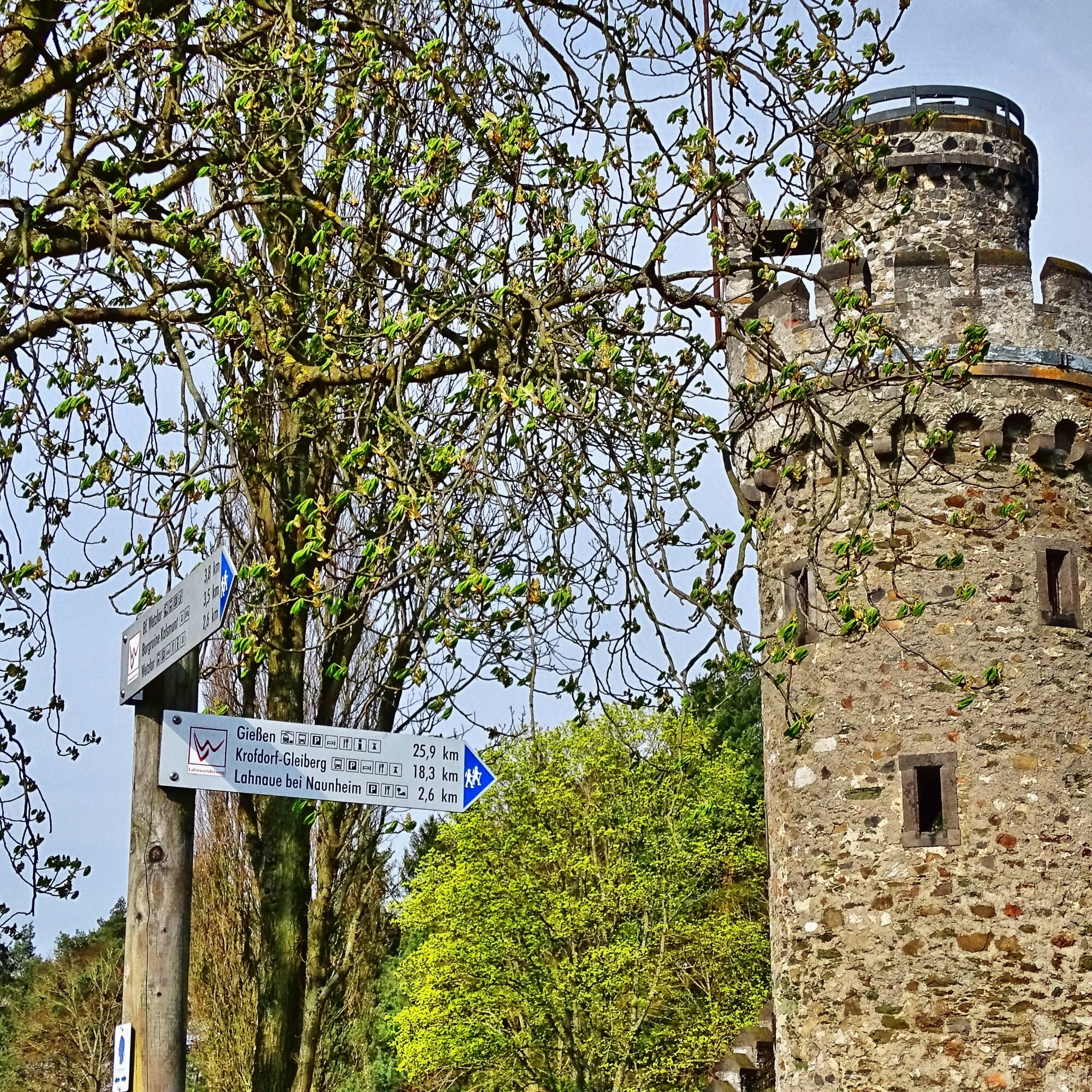
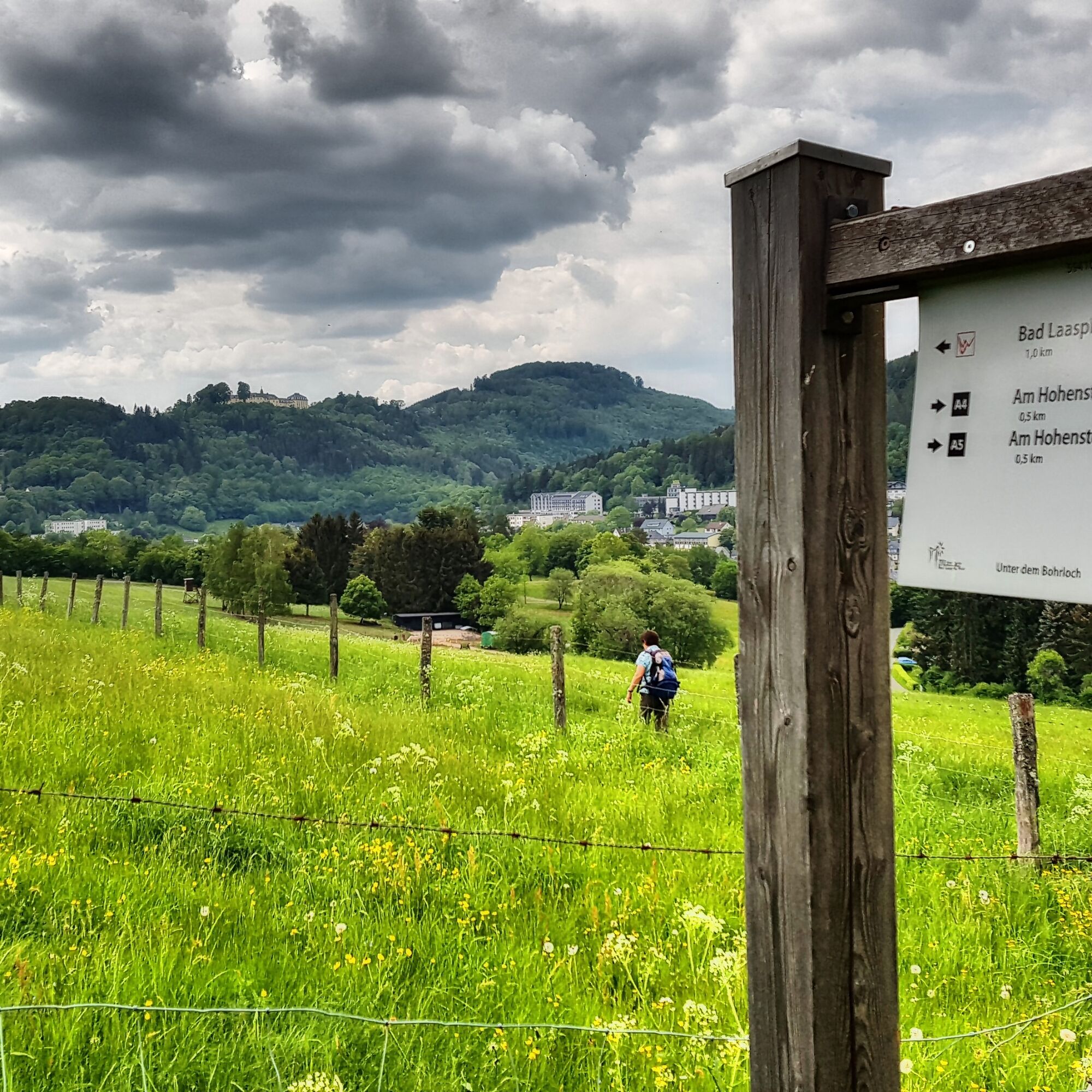
So you always know you are on the right path, the Lahnwanderweg is continuously marked with red LW on a white background. And that in both directions, both towards the Lahn source and towards Lahnstein. You will find the red LW on straight sections at regular intervals, and also at all intersections and turn-offs. When the path turns, this is also indicated by arrows. The access paths between the Lahnwanderweg and many train stations, sights, and stage towns are marked with red LW on a yellow background.
Signposts at junctions and intersections indicate the direction and distance to towns and sights. A blue tip always marks the main path, a yellow tip an access path. Distance information is supplemented by pictograms that indicate services at the destination, such as accommodation options or public transport stops.
The location sign you find on every signpost serves orientation. Besides the location name and altitude information, you will also see the appropriate GPS coordinates. Additionally, we provide the phone number of the regional trail management, where you can report defects, for example.
Ano
Ano
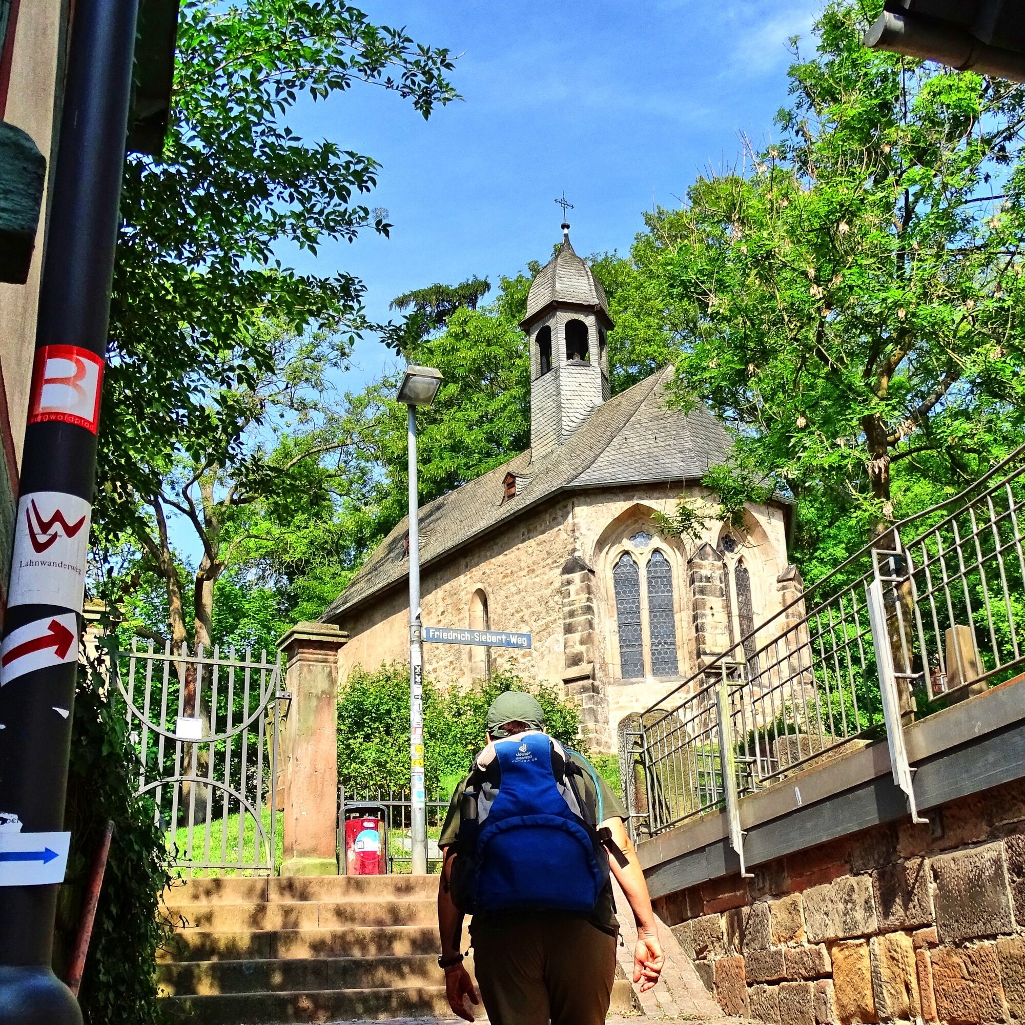
Normal hiking equipment for low mountain ranges (sturdy footwear, weather-appropriate clothing, drinks and possibly provisions)
For information on detours and route changes please see our "Current notices".
Information on restrictions in the rail network can be found here.
A3 or A61 plus A48 and B42 to the Lahn estuary in Niederlahnstein
Access to other stage towns on the Lahnwanderweg (selection)
A5 and B3 to Marburg, Gießen, Wetzlar
A5 or A3 plus B49 to Weilburg
A3 to LimburgA3 (AS Montabaur) plus B49 to Bad Ems
A45 (AS-Siegen or AS-Olpe) to the Lahn source or to Feudingen
Public transport connection is excellent. 18 of the 20 stage towns are directly accessible by train and one by bus. Only from the endpoint Lahn source do you need a shuttle to the Feudingen station, which should be ordered at least one day in advance: Shuttle Feudingen - Lahn source
Estuary station: Niederlahnstein
Nearest station to source: Feudingen
Long-distance stations with ICE or IC connection: Marburg, Gießen, Limburg-Süd, Koblenz
T2
The Lahnwanderweg on Instagram
Collect memories with the hiking pass
The free pocketguide "Lahnwanderweg" and more information are available under brochures for download and from the
Lahntal Tourism Association e.V.
Brückenstraße 2, 35576 Wetzlar
Tel. 06441-30998-0
Route suggestions for long hiking weekends:
Lahnstein - Balduinstein (3 stages) Balduinstein - Weilburg (4 stages) Weilburg - Gießen (3 stages) Gießen - Marburg (3 stages) Marburg - Biedenkopf (3 stages) Biedenkopf - Lahn source (3 stages)Oblíbené prohlídky v okolí
- 4,5
GeoRoute Hörreliches Stippbachtal
světloTematická stezka 11,0 km Lahnwanderweg 11th stage upstream Braunfels - Wetzlar
světloTuristika 13 kmBraunfels - Owl Trail (forest adventure trail)
světloTematická stezka 3,49 kmLahn cycle path
heavyCyklistika na velkou vzdálenost 248,9 kmDVV 8/10 km- Permanent Wetzlarer hiking trail Goetheweg with Grüngürtelweg
středníTuristika 10,2 kmMiningTrail Fortuna Mine
světloTematická stezka 3,83 kmRothaarsteig-Spur Wacholderweg
středníTuristika 16,1 kmLahnwanderweg 12th stage Braunfels – Weilburg
středníTuristika 17,9 kmLahn cycle path 5th stage Wetzlar – Weilburg
středníJízda na kole 30,8 kmGeopark Rail Route
středníJízda na kole 93,4 km

Pěší turistika a stopování


Nenechte si ujít nabídky a inspiraci pro vaši příští dovolenou
Vaše e-mailová adresa byl přidán do poštovního seznamu.