


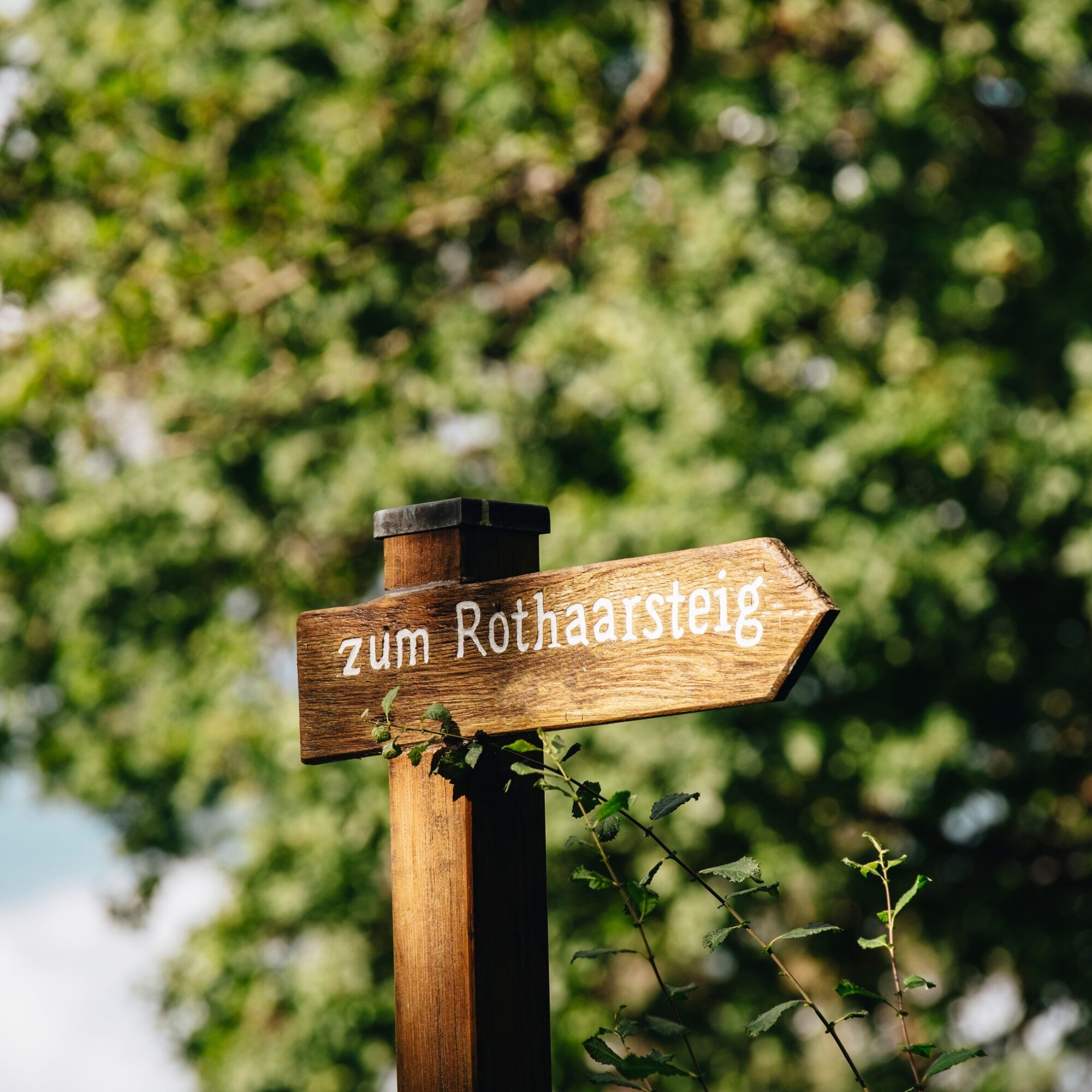
Rothaarsteig von der Haincher Höhe nach Dillenburg
The first goal on this stage hike is a spring: The Dill is a 55 km long tributary of the Lahn and forms the natural border between Hessian Westerwald and Lahn-Dill Upland. Haincher and Gernsbacher (523...
The first goal on this stage hike is a spring: The Dill is a 55 km long tributary of the Lahn and forms the natural border between Hessian Westerwald and Lahn-Dill Upland. Haincher and Gernsbacher (523 m) are followed by the Tiefenrother Höhe (551 m). Here you can enjoy a spectacular view and breathtaking sunsets from the viewing platform "Nose in the Wind".
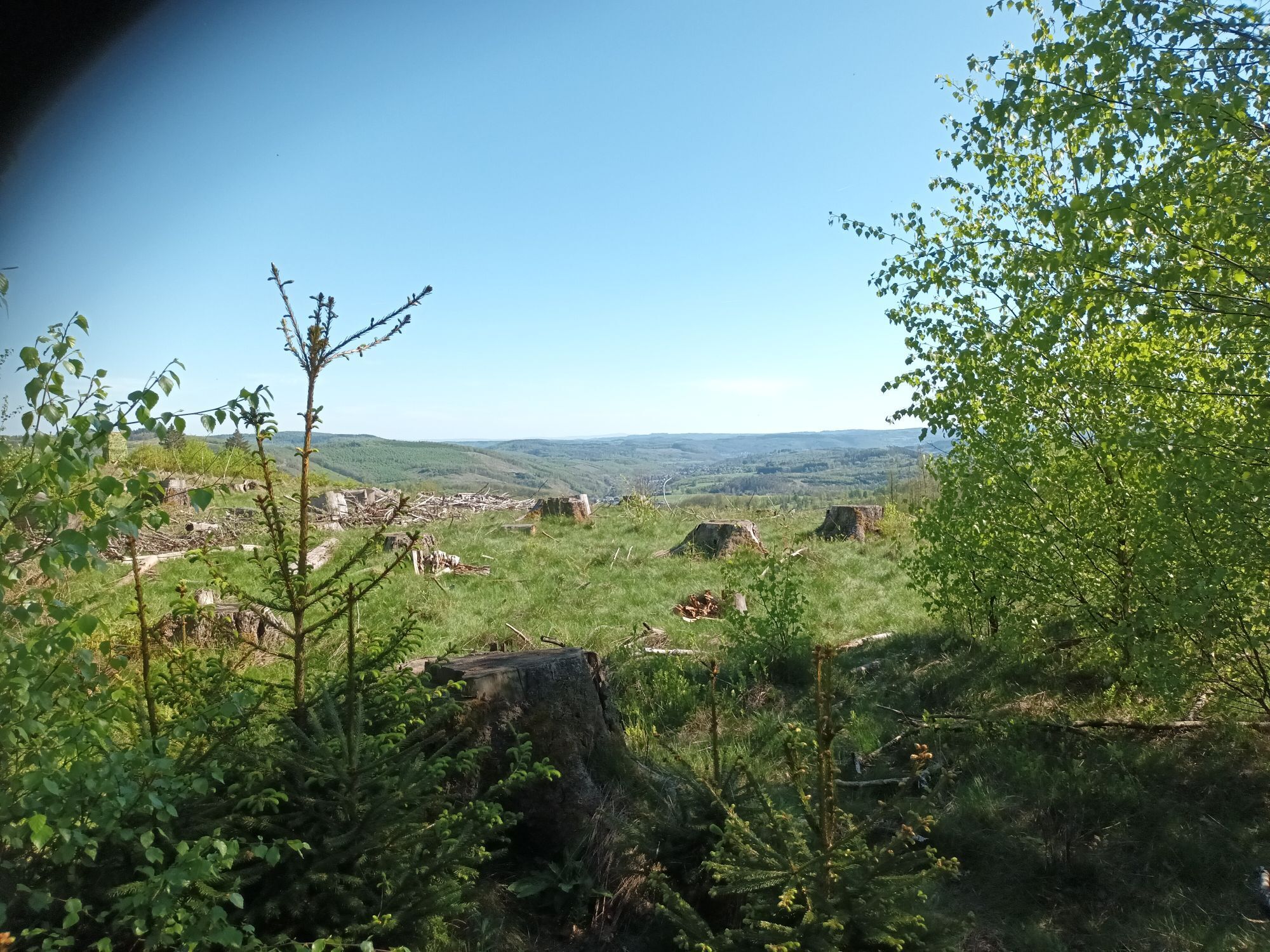
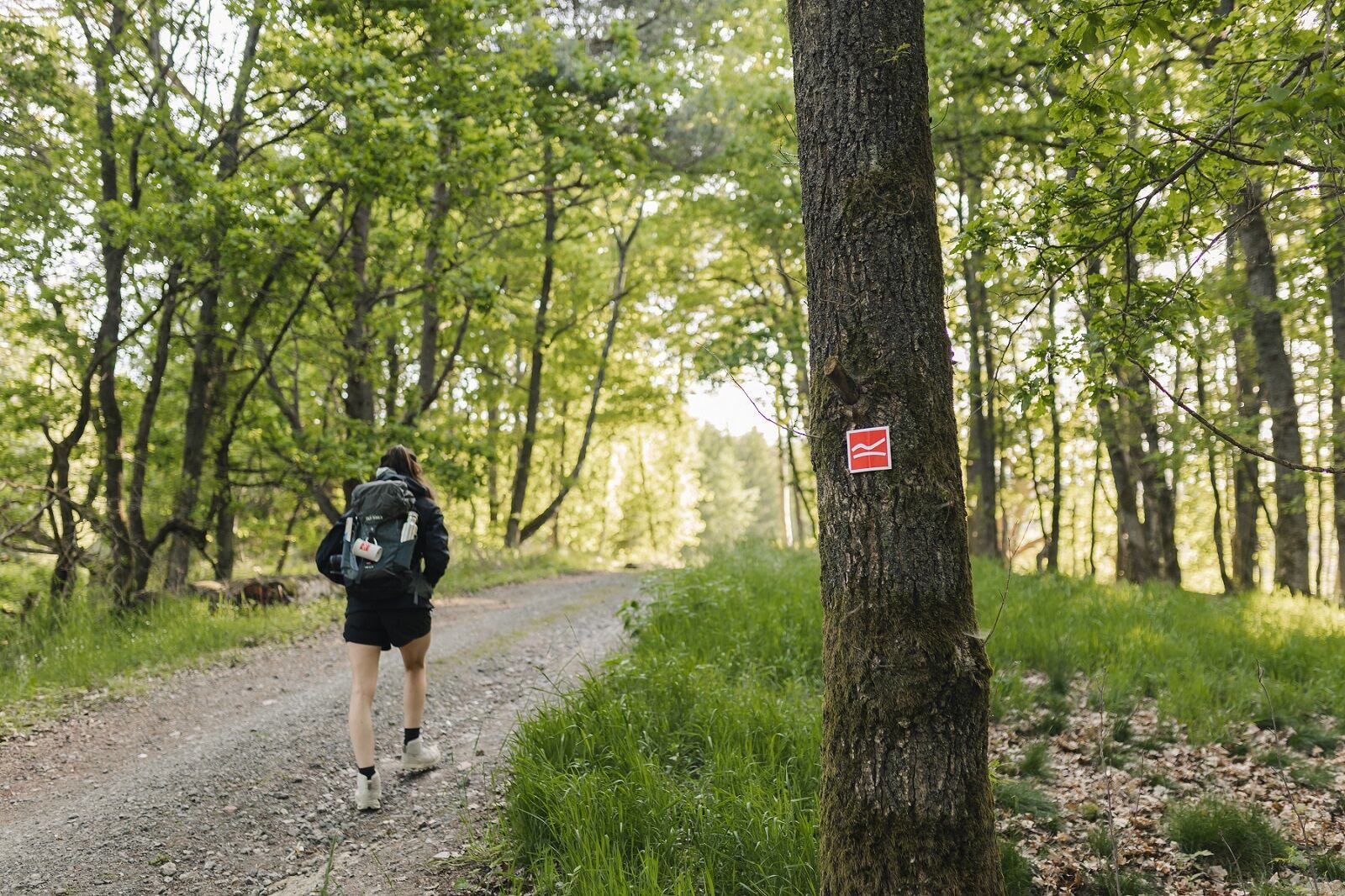
After a small quarry, you reach the 300 m long Hauberg path, which informatively introduces the Hauberg forestry system. This special form of land use, a combination of agriculture and wood production, arose in the course of iron smelting. After a few meters at the fork "Kalteiche" the Rothaarsteig splits. Here the trail slowly leaves the Rothaar mountains and turns southeast towards the Lahn-Dill Upland. The main route leads directly to Dillenburg. However, the Westerwald variant of the Rothaarsteig leads also to Dillenburg but via the Fuchskaute in the High Westerwald.
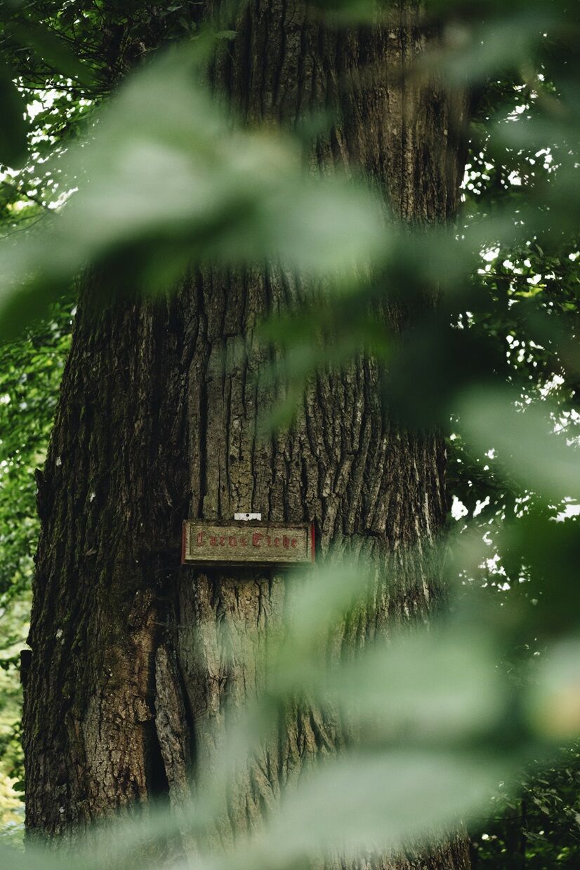
On the main route, the natural monument Lucaseiche, with its 27.5 m height and trunk circumference of 3.85 m, is an impressive sight. Past the idyllic Steinbach Forest House, the Rothaarsteig leads down into the Dill valley. The Westerwaldblick viewpoint motivates for a last ascent over the Struth, which leads down to Dietzhölztal. Via the Galgenberg (302 m), it goes into the Oranier city of Dillenburg.
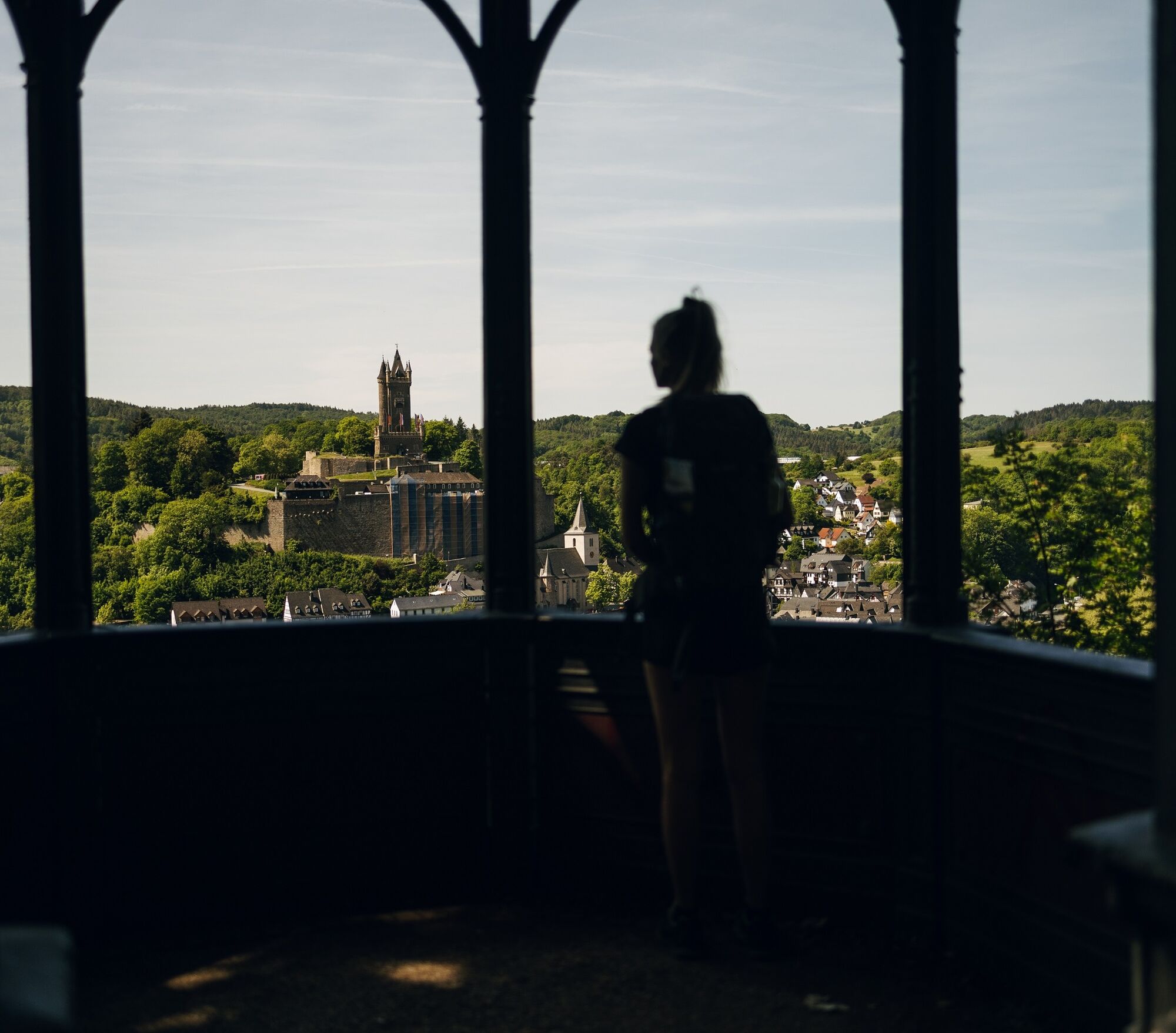
Those who must still catch the last train or do not want to wait any longer for a reward in the form of a refreshment can take a yellow-black marked access path directly into the city center of Dillenburg here. However, nature lovers bypass the city of Dillenburg to the Bismarck temple to enjoy the magnificent view over the entire city with the Wilhelmsturm opposite. On narrow paths, it goes down into the old town of Dillenburg. The Rothaarsteig then leads through the Hofgarten to the train station, the end point of the trail.


Haincher Höhe - Dill spring - Tiefenrother Höhe - Branch Westerwald-/Dill variant, Kalteiche - Lucaseiche - Steinbach Forest House - Haiger-Rodenbach - Dillenburg-Manderbach - Dillenburg-Bismarck temple - Dillenburg-Hofgarten - Dillenburg station
Ano
In our small hiking shop at www.rothaarsteig.de/shop, you will also find a selection of Rothaarsteig items to prepare for your route or as souvenirs. We are also happy to recommend the durable and high-quality outdoor equipment from our long-standing partner, the outdoor outfitter Tatonka.
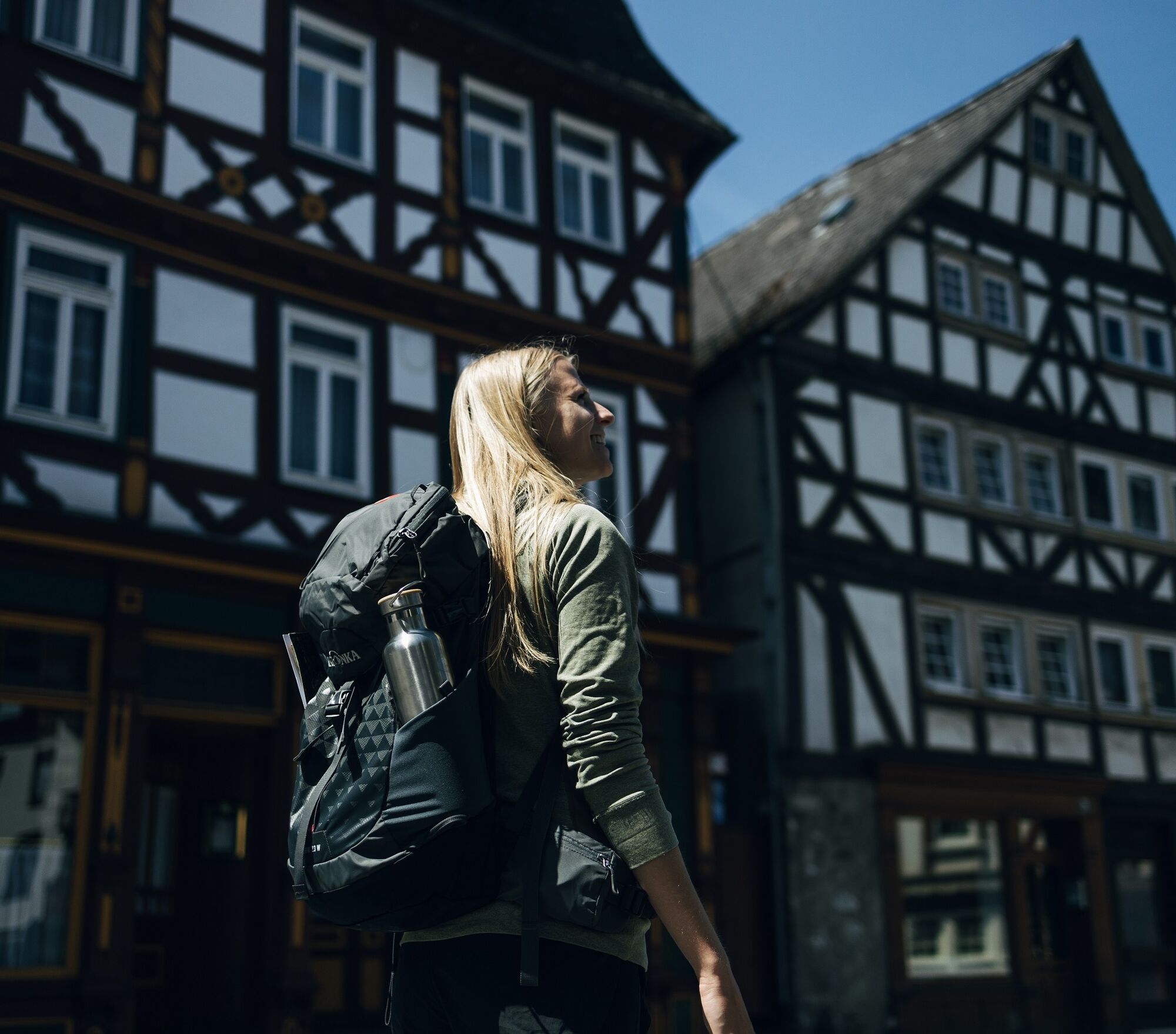
Hiking backpack
With a suitable hiking backpack, your Rothaarsteig route becomes twice as much fun! Hiking backpacks offer very comfortable carrying properties thanks to a ventilated carrying system, which ensures that sweat can evaporate immediately. They can be fixed with a belly or hip belt and therefore sit firmly on your back during every movement. Additionally, they are equipped with a practical holder for trekking poles and often have a compartment with an outlet for a hydration bladder, ensuring fluid supply at any time. Here you will find hiking backpacks from outdoor outfitter Tatonka in various sizes for day hikes and multi-day tours with different ventilated back systems.
First aid kit
To fully enjoy your hike on the Rothaarsteig, a first aid kit belong in your backpack for safety reasons. After all, nothing is more annoying than a blister on your foot or small injuries that cannot be immediately and properly cared for. The first aid kits from Tatonka are filled with all important materials for initial wound care and also contain an "outdoor cheat sheet" with concise and clear guidelines for the right behavior in emergencies in nature. Here you will find the first aid kits from Tatonka!
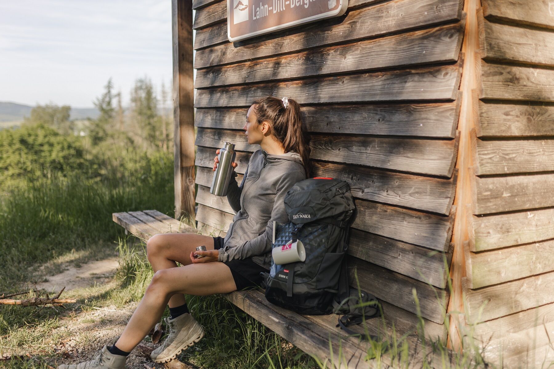
Food and drinks
On some stages, especially between Lahnhof and Dillenburg, there are unfortunately no opportunities to stop along the way. Keep in mind to pack food and drinks, especially here. Adequate hydration is especially important in summer. The stainless steel bottles, insulated stainless steel flasks, and stainless steel lunch boxes from Tatonka are not only practical but also unbreakable and durable.
Information about the emergency panels on the Rothaarsteig
Usually, hiking trails run away from towns and settlements, and every hiker has surely thought about what to do in an emergency. How can I be found here? Where exactly am I? Can the rescue service reach me? In an emergency, time is critical! Therefore, the Rothaarsteig is continuously equipped with so-called emergency signs. On the green-white plaques attached to the posts of the signposts, there is a number you must provide when making an emergency call. This way, rescue forces know exactly where you are, saving valuable time.
Note on increased forest fire risk
Please keep in mind that due to dryness, there is currently an increased forest fire risk! Please observe the following instructions:
Observe the legal smoking ban in the forest - valid in spring, summer, and autumn, specifically from March 1 to October 31. Observe the ban on open fires in the forest and within 100 meters of the forest. Take glass out of the forest - the burning glass effect can cause forest fires.If it is (too) late:
Extinguish small emerging fires if it is safe to do so. Check the spot carefully if necessary. Report fires via "112". Leave the danger area by the shortest path.The forest thanks you!
Unfortunately, Haincher Höhe is not accessible by public transport. The nearest bus connections are from Hainchen or Irmgarteichen. Further information can be found at www.bahn.de. If you come by car, we recommend using public transport at the start of your route and parking the car at the end point. This way, you do not have to align your hike with the bus/train schedule.
A free hiking parking lot is available at the Haincher Höhe. Free parking options in Dillenburg can be found at the stadium. Enter in your navigation: "Am Sportzentrum".
Dill spring
Viewing platform "Nose in the Wind"
Kalteiche
Lucaseiche
Steinbach Forest House
Bismarck temple Dillenburg
Wilhelmsturm Dillenburg
Hofgarten Dillenburg
Guest establishments:
There is no accommodation directly on the Haincher Höhe. The Jokebes Inn in Irmgarteichen and the Hotel Fünf10 in Deuz offer shuttle service to and from Haincher Höhe by prior arrangement.
Jokebes Inn Pension
Hotel Fünf10
Further establishments along the route:
Wilgersdorf Guesthouse
Mechels Wilnsdorf Guest Apartments
Hotel Bartmann's Haus Dillenburg
Hotel Inn Zum Schwan
Oblíbené prohlídky v okolí
-
Lahnwanderweg 1st stage Lahn source – Feudingen
středníTuristika 14.3 km -
Rothaarsteig-Spur Wacholderweg
středníTuristika 16.1 km -
Rothaarsteig-Spur Gernsdorfer Höhentour
středníTuristika 13.4 km -
Rothaarsteig Westerwaldvariante
heavydálková pěší trasa 71.8 km -
Rothaarsteig-Spur Dill-Bergtour
středníTuristika 15.9 km -
Rothaarsteig von Irmgarteichen nach Rodenbach
heavyTuristika 17.0 km -
Köhlerpfad
středníTematická stezka 5.17 km -
ÖPNV-Tour: Auf dem Rothaarsteig von Dillenburg nach Haiger
středníTuristika 13.2 km -
Rundweg Obersdorf
Turistika 8.20 km -
Rothaarsteig von Lützel (Bhf) zur Haincher Höhe
středníTuristika 24.9 km
Pěší turistika a stopování


Nenechte si ujít nabídky a inspiraci pro vaši příští dovolenou
Vaše e-mailová adresa byl přidán do poštovního seznamu.