







Premium route P22 Sankt Ottilien
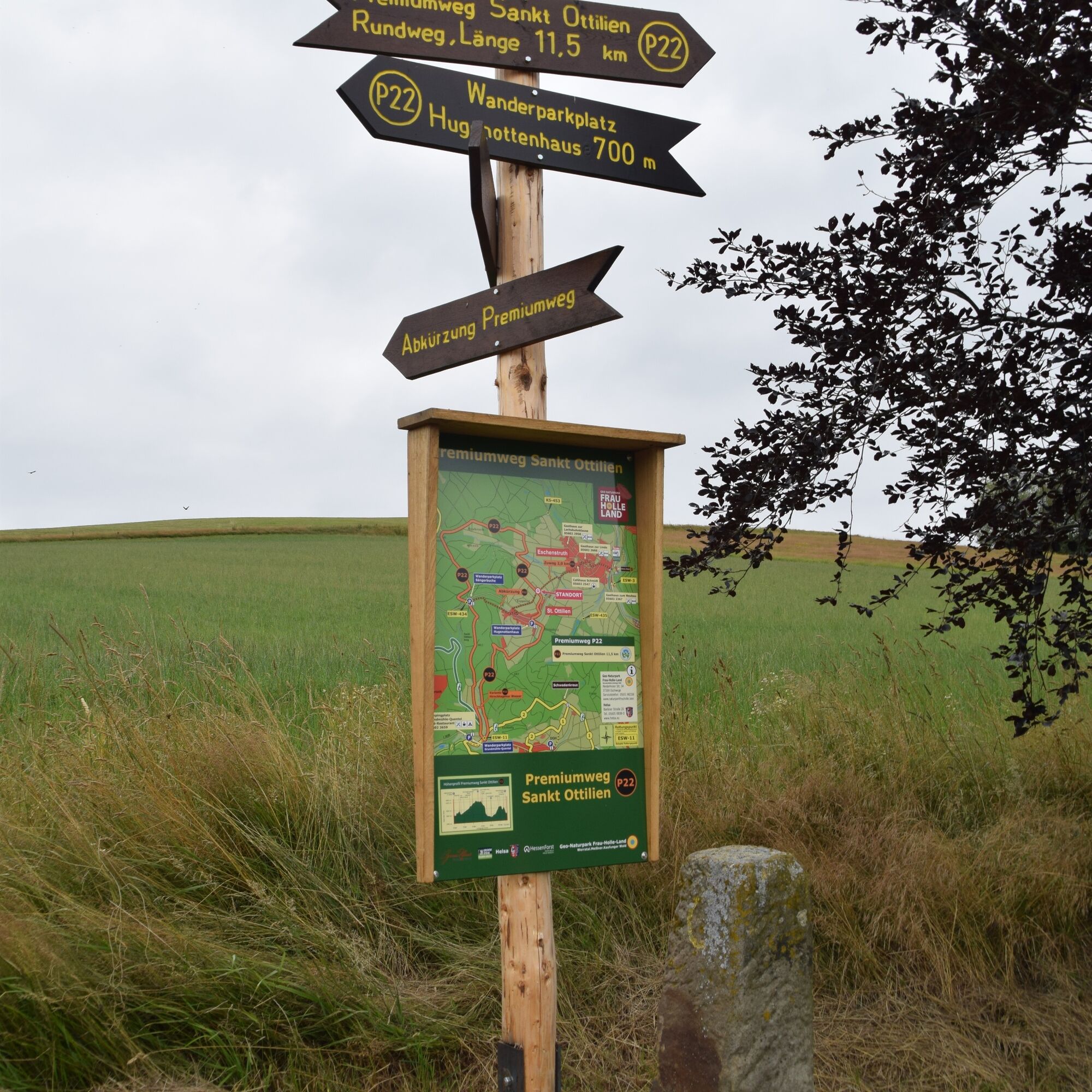
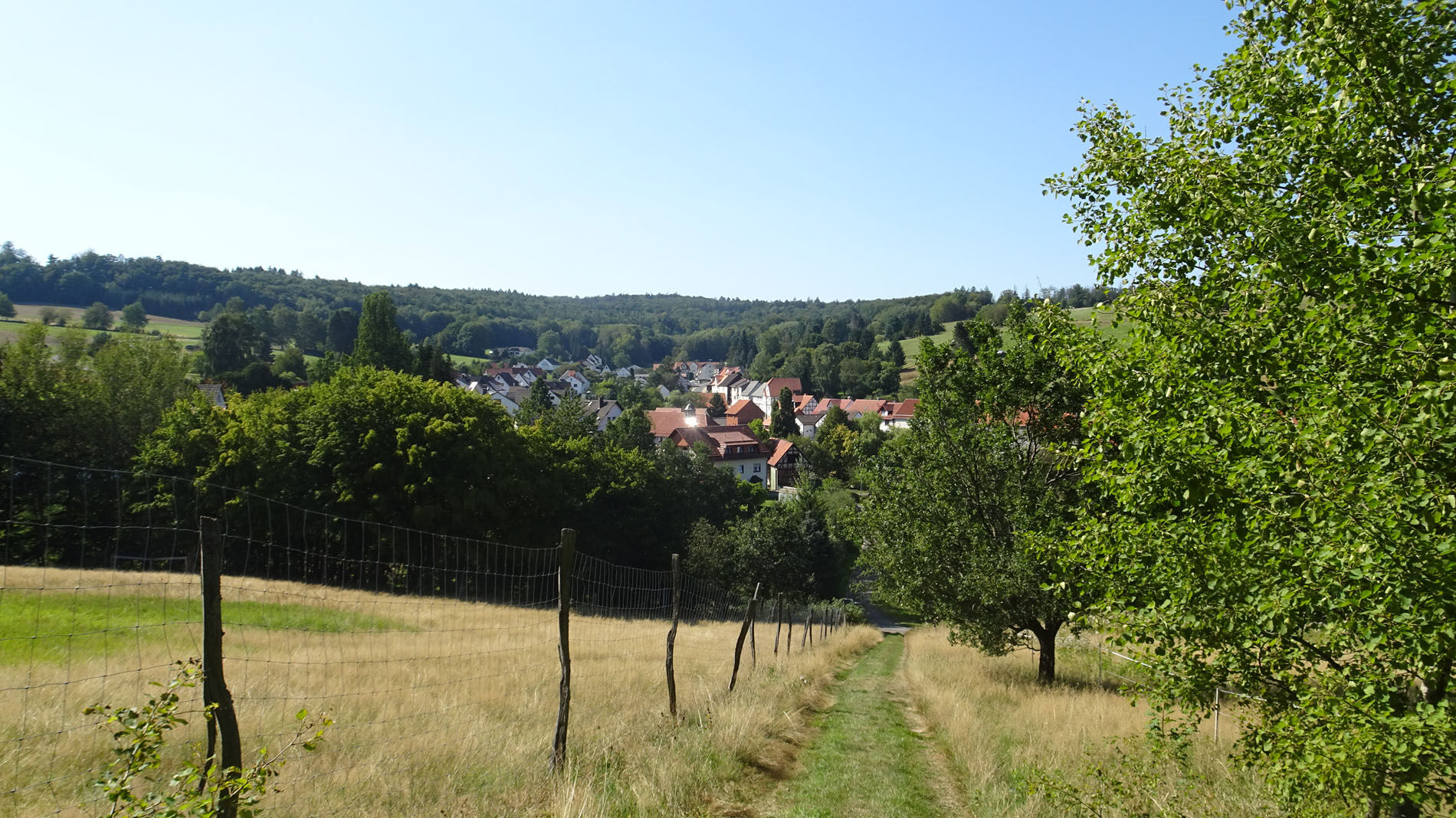
On varied paths, the P22 leads for a length of 11.5 km through open fields and extensive forest sections. At the starting point, in the village centre of the former Huguenot settlement St. Ottilien, stands...
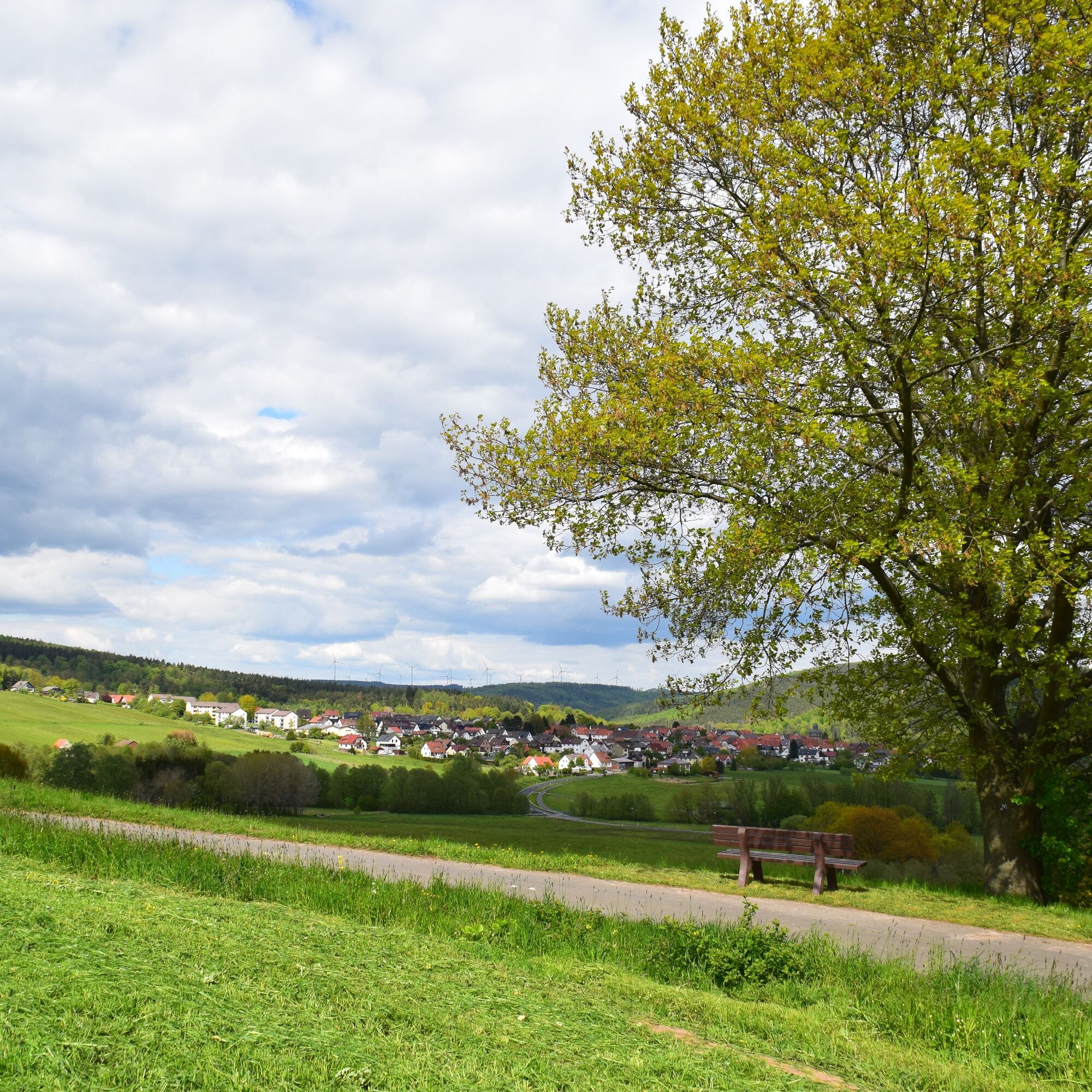
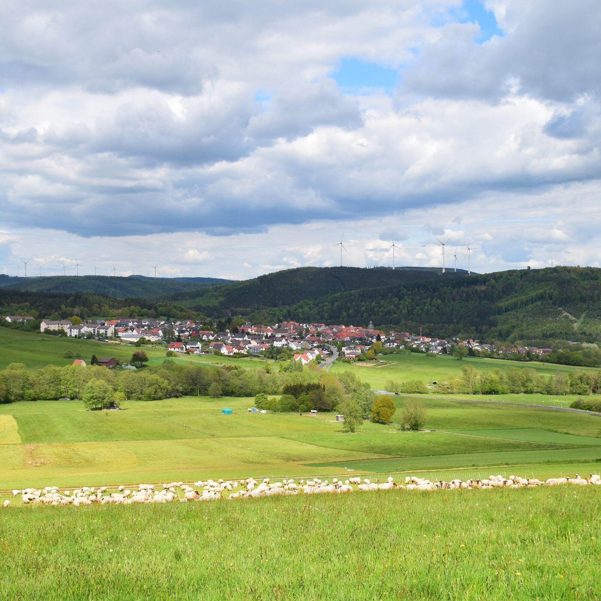
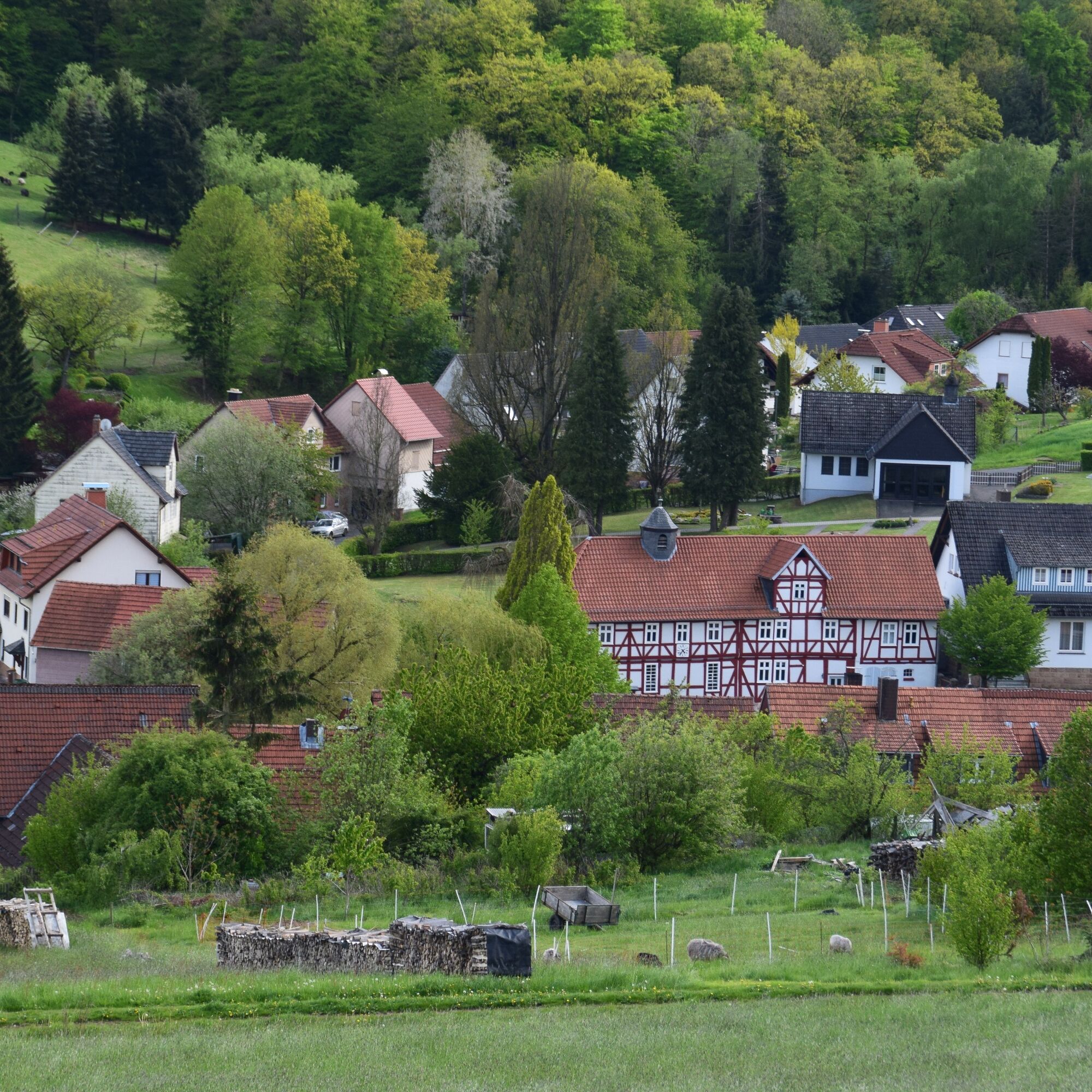
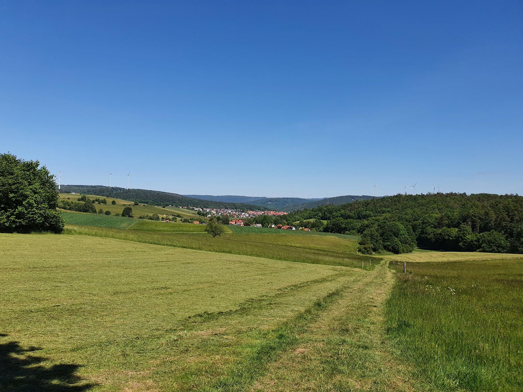
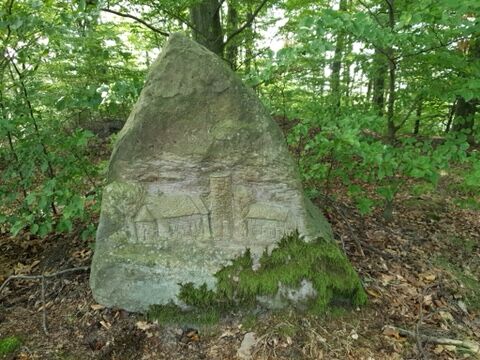
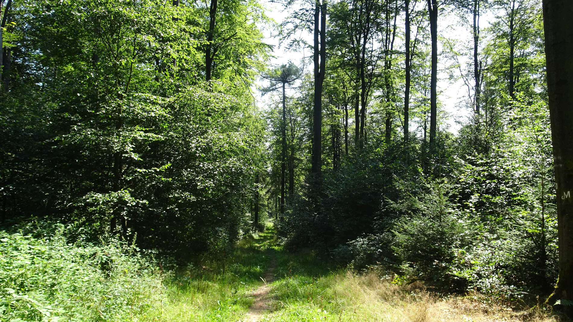
On varied paths, the P22 leads for a length of 11.5 km through open fields and extensive forest sections. At the starting point, in the village centre of the former Huguenot settlement St. Ottilien, stands the Huguenot House built around 300 years ago. Along the way, you will discover the "Sancta Ottilia" on the St. Ottilien hill (446 m) and the "Gläsnerborn" at the Hüttengraben; information boards explain the exciting backgrounds at each point, and there are always new distant views opening up towards Kaufunger Wald and Hoher Meißner.
The nature of the Söhre is characterized by its wealth of forest and water. This is particularly evident on the P22 where the path runs along the nature reserve "Heubruchwiesen" with its alder and ash floodplain forests. Extensive, trail-like paths and resting benches along "Männer-Wasser", "Hüttengraben" and "Hirschhagenerwasser" repeatedly invite you to "let your soul dangle" by the rushing brook.





Moderate route, sturdy hiking boots recommended.
Please note the current notices at Important information on current restrictions on our hiking trails (naturparkfrauholle.land)
Hiking car park in the village centre at the Huguenot House, Jungfernborn/Heinrichstr. 5, 34298 Helsa-St. Ottilien
Car park Sängerbuche, on state road L3460 between Söhrewald-Wattenbach and Helsa-St. Ottilien
with 900 m access path: car park Grundmühle, on state road L3228, opposite the turnoff to the campsite
with 1.8 km access path: hiking car park Franzosentriesch, on L3460
with 2 km access path: train station (Helsa-)Eschenstruth, Leipziger Straße 202, 34298 Helsa, timetable at www.nvv.de
Ano
All year round, best time April to October.
Information on accommodation, excursion tips, guided hikes and news from the Geo-Nature Park Frau-Holle-Land: www.naturparkfrauholle.land, Tel. 05657 644990 or 0561 1003-1382.
Here you can book an experienced nature park guide who will accompany you on your route.
In St. Ottilien, the key to the church hangs within reach. Every visitor can unlock the church door themselves and visit it.

Oblíbené prohlídky v okolí
-
5.0
Premium trail P14 Bilstein
středníTuristika 9.96 km -
4.0
Premium route P11 Niester Riesen
světloTuristika 11.6 km -
2.5
premium route P24 Söhrewald
středníTuristika 14.0 km -
5.0
Premium route P10 Reichenbach
středníTuristika 13.1 km -
5.0
Wichtelpfad Melsungen
světloTematická stezka 3.57 km -
Mönchspfad - Historischer Themenwanderweg
světloTematická stezka 6.78 km -
Kunstwanderweg "Elbersdorfer 8"
světloTuristika 8.45 km -
Bartenwetzerpfad U
heavyTuristika 112.7 km -
Archäologische Pfad 1 - Hessens Krone
středníTematická stezka 7.20 km -
Radtour Gutsbezirk Kaufunger Wald
středníJízda na kole 30.3 km
Pěší turistika a stopování


Nenechte si ujít nabídky a inspiraci pro vaši příští dovolenou
Vaše e-mailová adresa byl přidán do poštovního seznamu.





