







premium route P24 Söhrewald
Only 13 km from Kassel, the large forest area of the Söhre offers diverse possibilities for a relaxing and eventful outing. Energy generation plays a major role on this route.
From the Brandt car park...
Only 13 km from Kassel, the large forest area of the Söhre offers diverse possibilities for a relaxing and eventful outing. Energy generation plays a major role on this route.
From the Brandt car park near Wattenbach, the route leads over the old charcoal burner’s site, past the small wind park, to the still active basalt quarry at Ölberg. Heather blooms here in summer along the path. Further along, wide views open up from the ridge between Wattenbach and Mülmischtal towards Wattenbach and the original Wattenbach valley. Then it goes downhill to Eiterhagen. After a round through the picturesque half-timbered town, the Wattenbach is crossed and the route climbs uphill again. Works of art by Ars Natura line the way. In the last kilometres along the forest edge, route P24 leads over the Eco Path Mining in the Söhre.
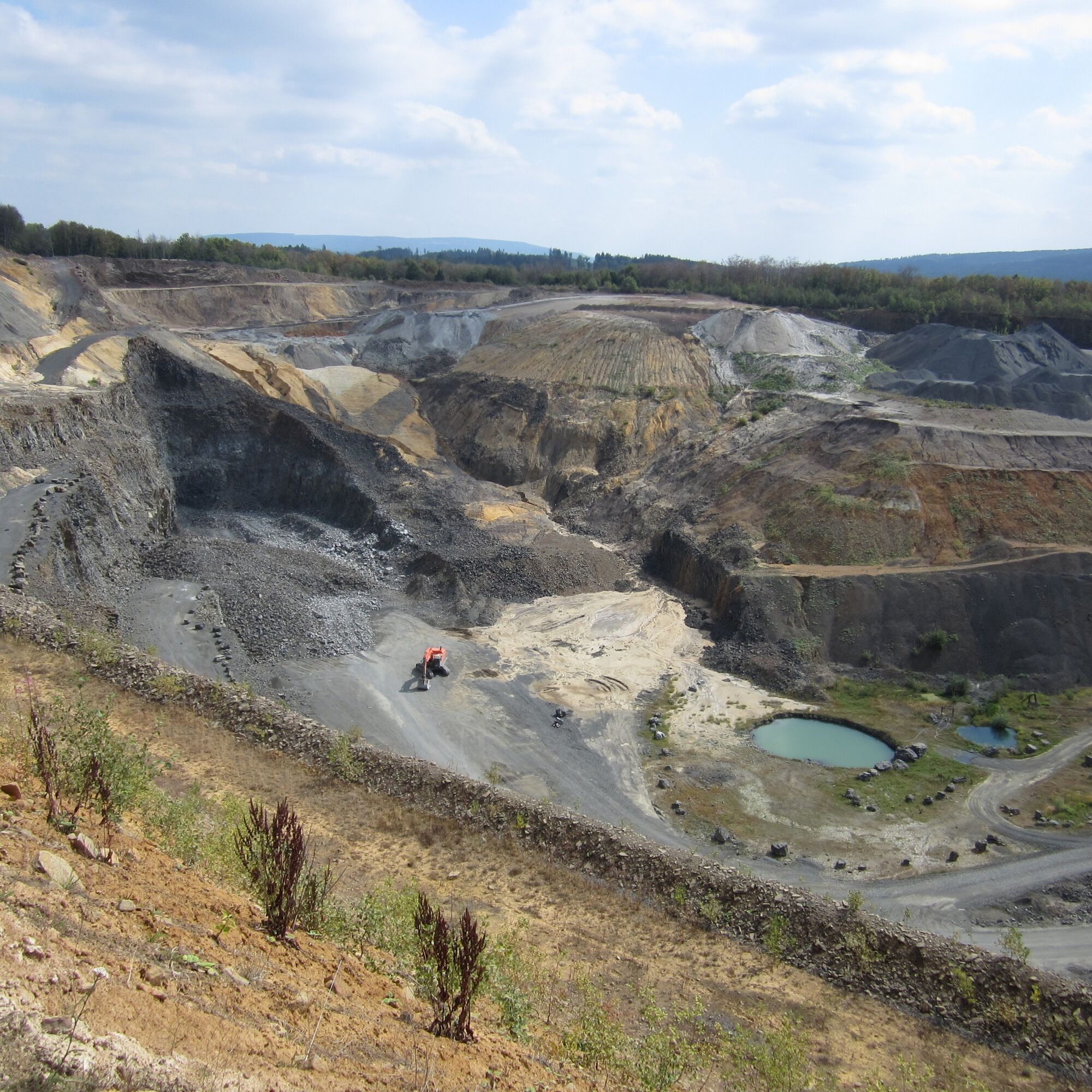
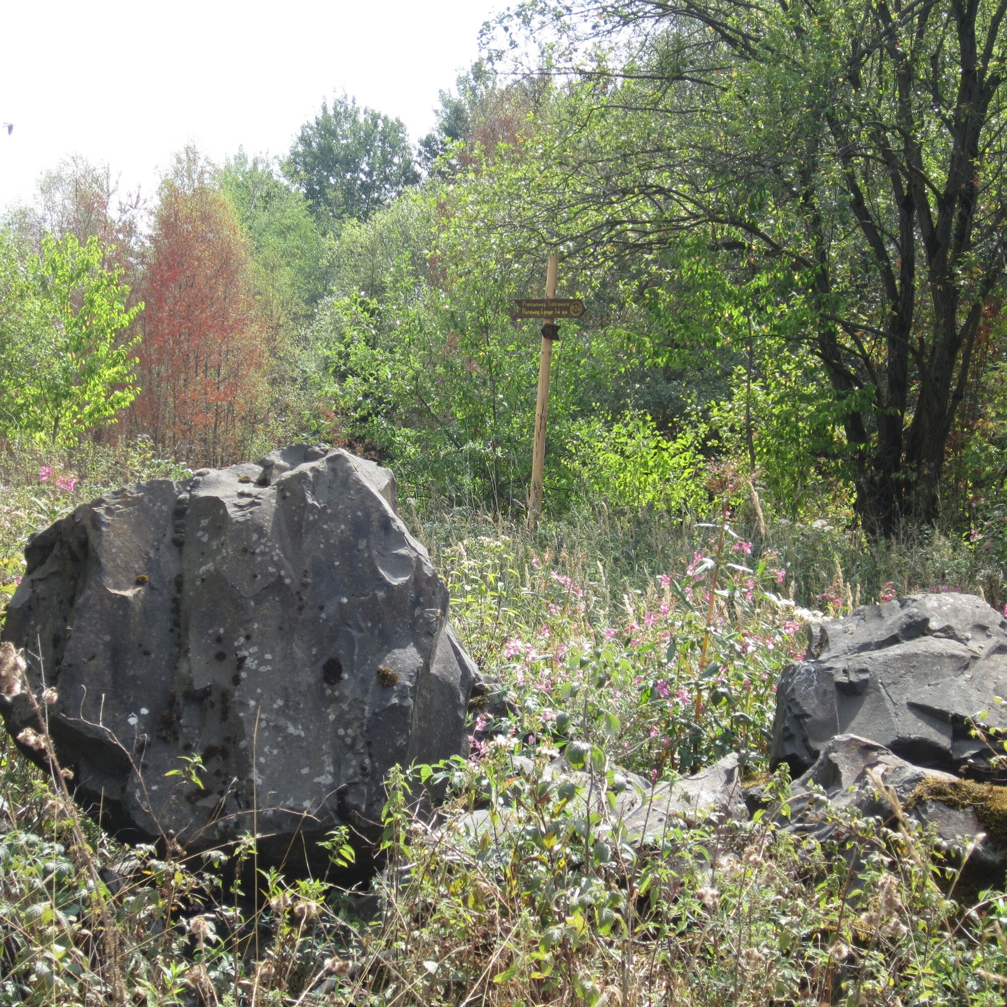


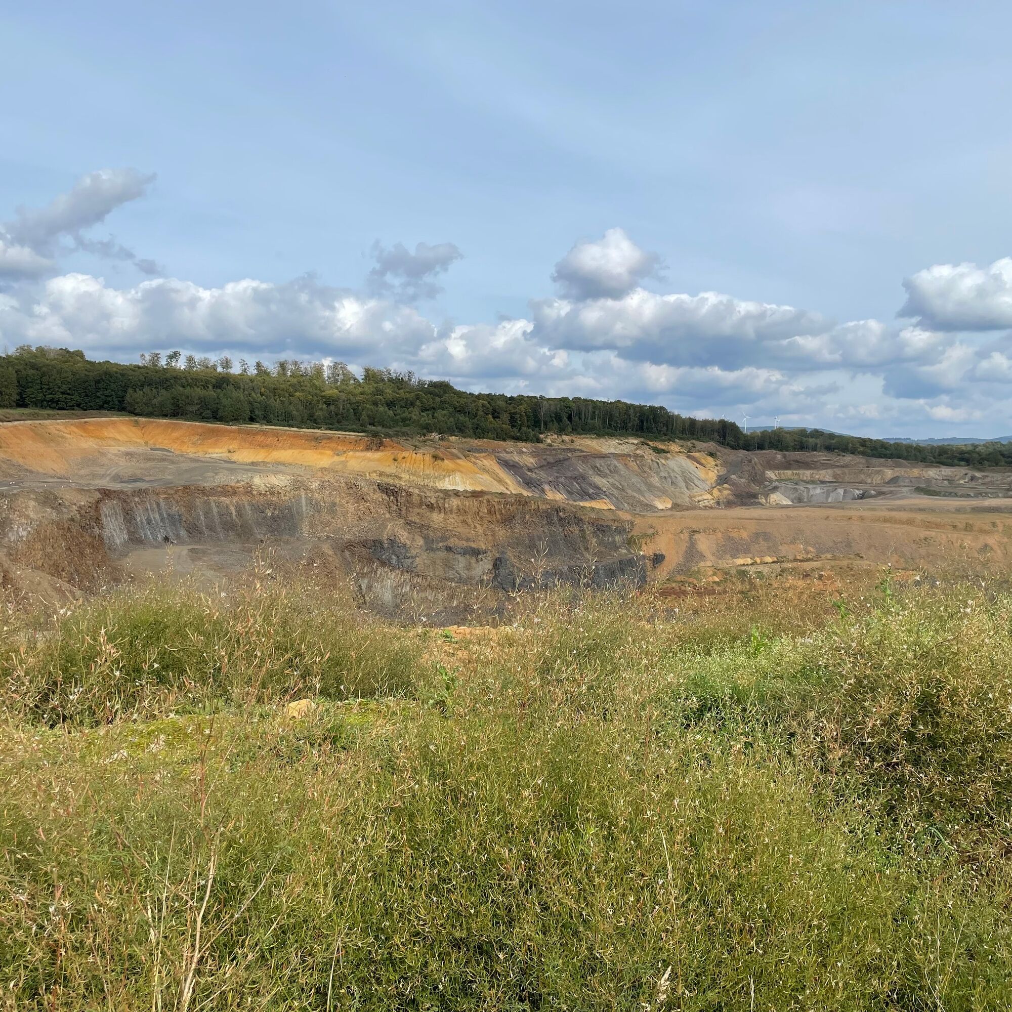


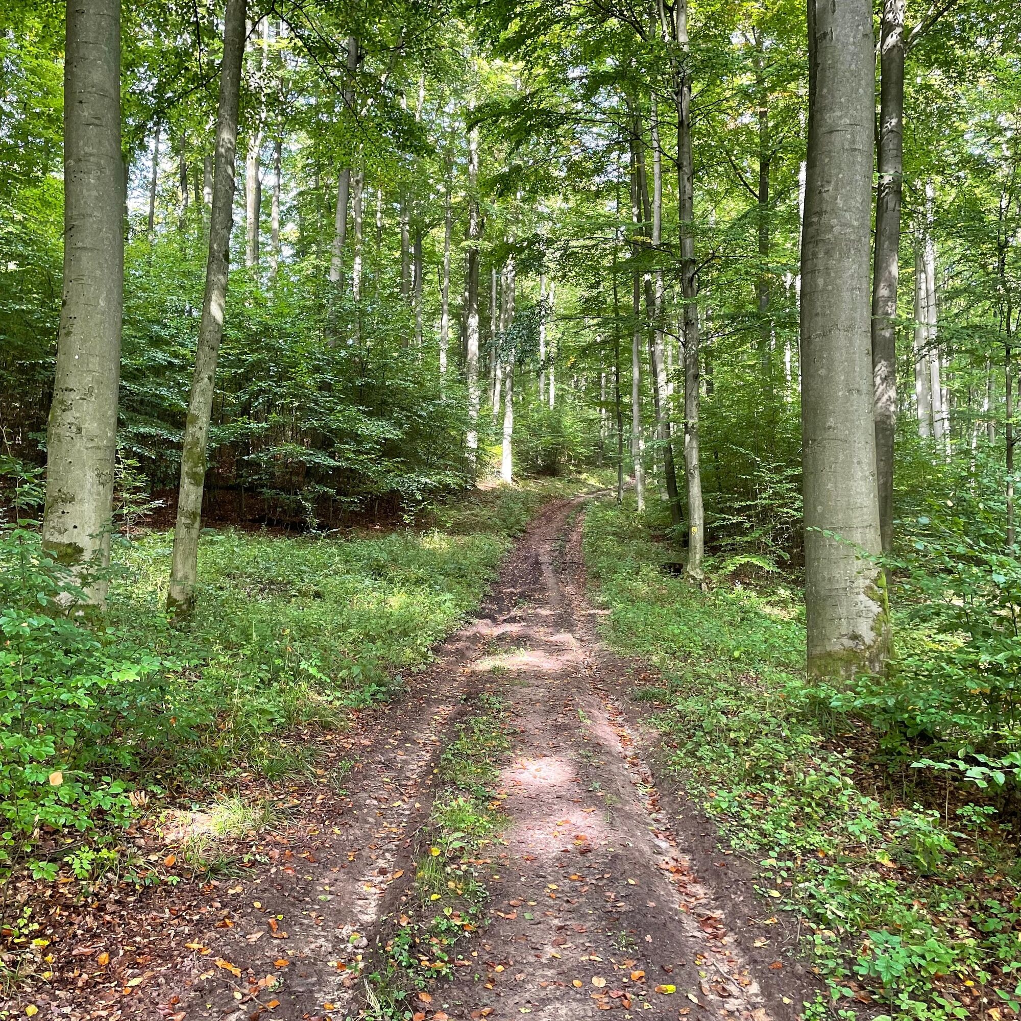
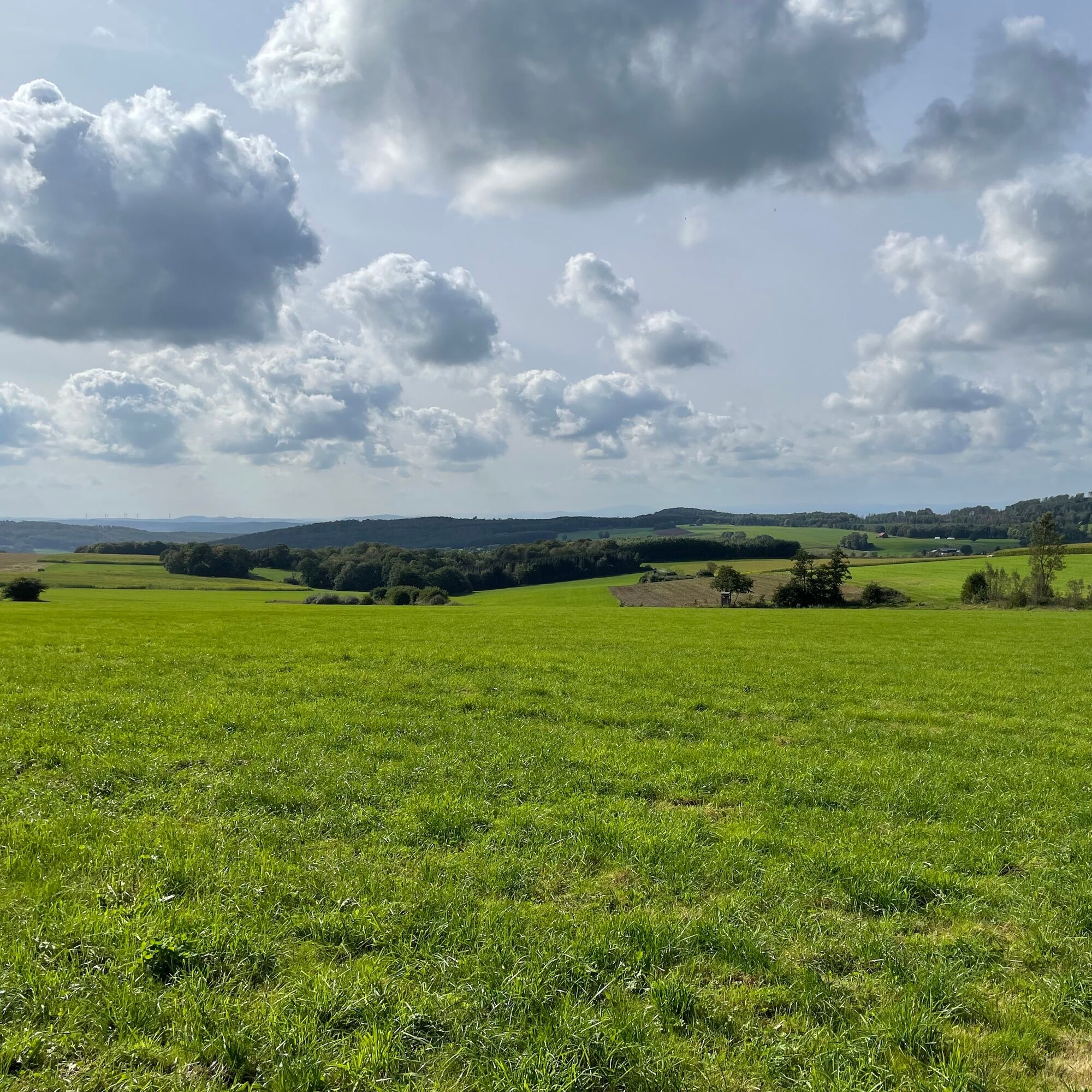


From the Brandt car park near Wattenbach, the route leads over the old charcoal burner’s site, past the new wind park, to the still active basalt quarry at Ölberg. Further along, wide views open up from the ridge between Wattenbach and Mülmischtal towards Wattenbach and the original Wattenbach valley. Then it goes downhill to Eiterhagen. After a round through the picturesque half-timbered town, the Wattenbach is crossed and you hike uphill again.
Ano
The route is moderate in difficulty, we recommend hiking boots.
Please note the current information under Important information on current restrictions on our hiking trails (naturparkfrauholle.land)
1) Hiking car park, coming from Quentel at the entrance to Söhrewald-Eiterhagen. Or at the sports ground in Eiterhagen.
2) Brandt hiking car park: exit Wattenbach towards Wellerode; the car park is located at the junction of country roads L3236 (Wattenbach-Wellerode) and L3460 (Sankt Ottilien-Wollrode). GPS: 51.13191N; 93.5349E.
Ano
Information on overnight accommodations, trip tips, guided hikes, and news from the Geo-Naturepark Frau-Holle-Land: www.naturparkfrauholle.land, Tel. 05657 644990 or 0561 1003-1382.
GrimmSteig, Kassel-Steig, and the long-distance hiking trail Wildbahn (X3) also run through the Söhre. The Eco Path Mining in the Söhre informs about mining.

Oblíbené prohlídky v okolí
-
4.0
Premium route P11 Niester Riesen
světloTuristika 11.6 km -
4.3
Premium route P22 Sankt Ottilien
středníTuristika 11.0 km -
5.0
Premium route P10 Reichenbach
středníTuristika 13.1 km -
5.0
Wichtelpfad Melsungen
světloTematická stezka 3.57 km -
Mönchspfad - Historischer Themenwanderweg
světloTematická stezka 6.78 km -
Kunstwanderweg "Elbersdorfer 8"
světloTuristika 8.45 km -
Ars-Natura-Runde Heiligenberg
středníTuristika 2.15 km -
Wanderweg EL1: Sieben-Ortsteile-Blick
světloTuristika 5.71 km -
Bartenwetzerpfad U
heavyTuristika 112.7 km -
Archäologische Pfad 1 - Hessens Krone
středníTematická stezka 7.20 km
Pěší turistika a stopování


Nenechte si ujít nabídky a inspiraci pro vaši příští dovolenou
Vaše e-mailová adresa byl přidán do poštovního seznamu.





