


Premium trail P14 Bilstein
The circular route runs mostly through the forest, offering many highlights and two places to refresh. You walk past Steinberg lake, the Steinberg quarry natural monument, the red Nieste spring, arrive...
The circular route runs mostly through the forest, offering many highlights and two places to refresh. You walk past Steinberg lake, the Steinberg quarry natural monument, the red Nieste spring, arrive at Bilstein (with tower and hut), and the Roter See natural monument.
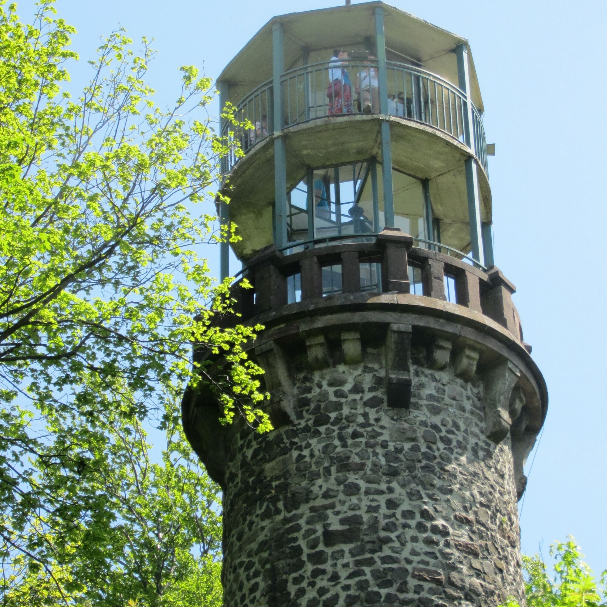
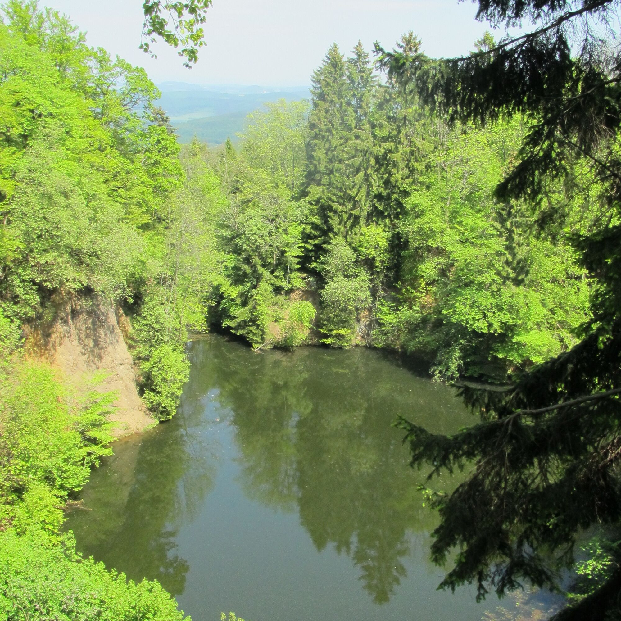
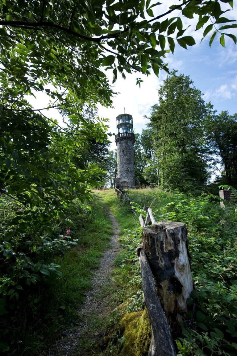
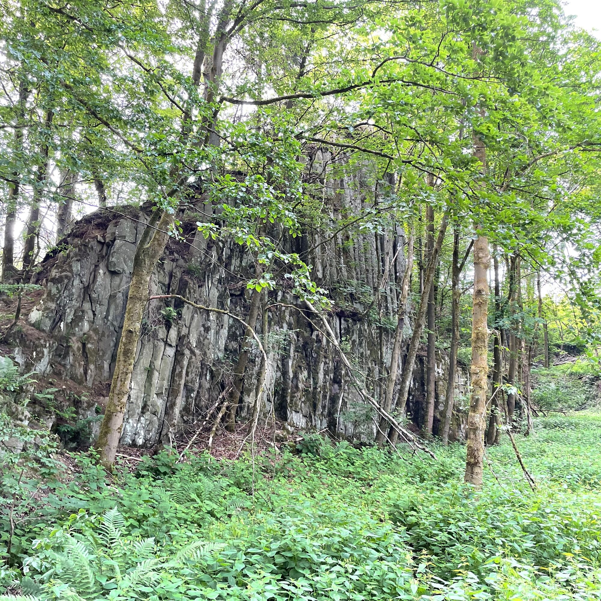
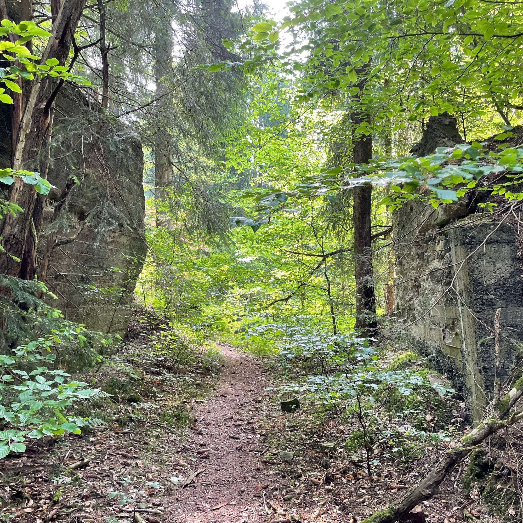
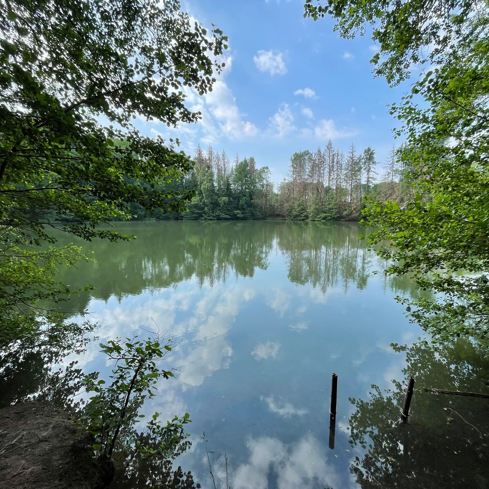
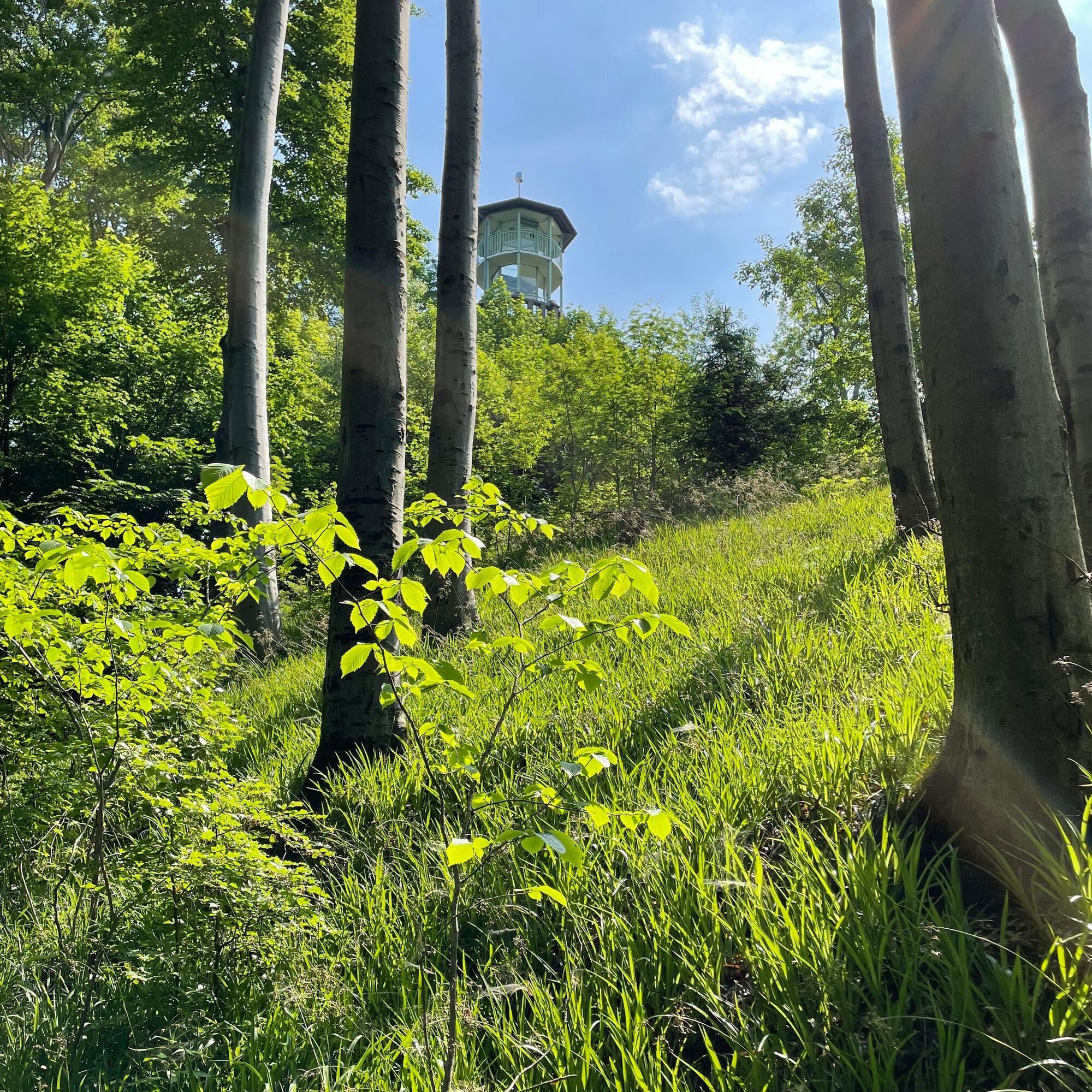
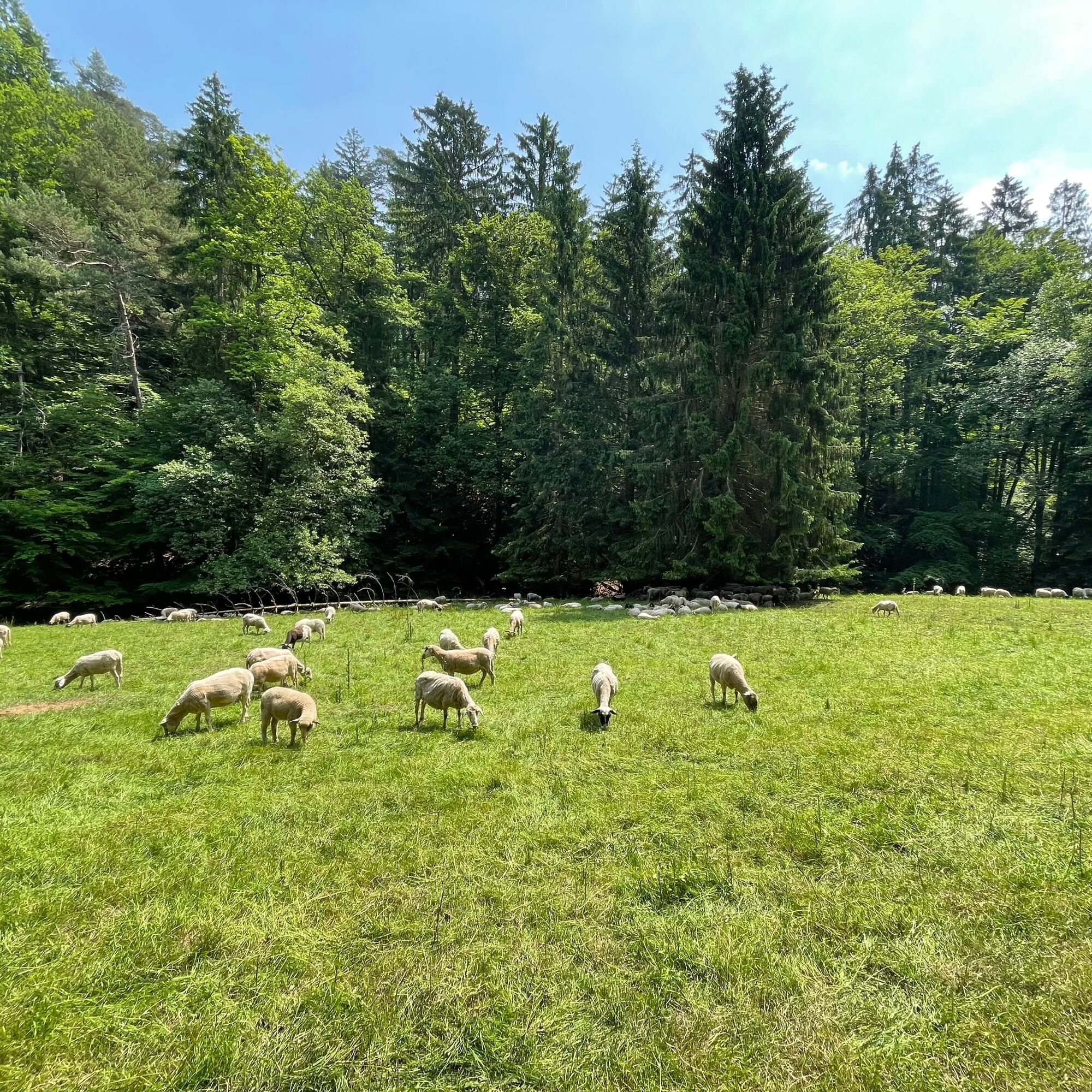
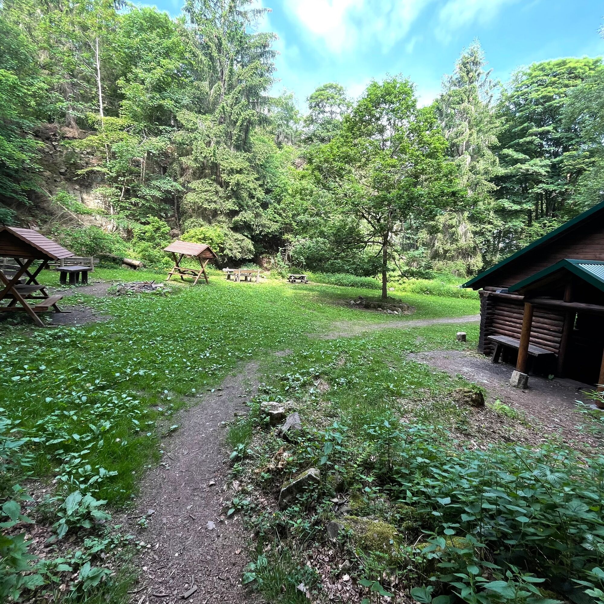
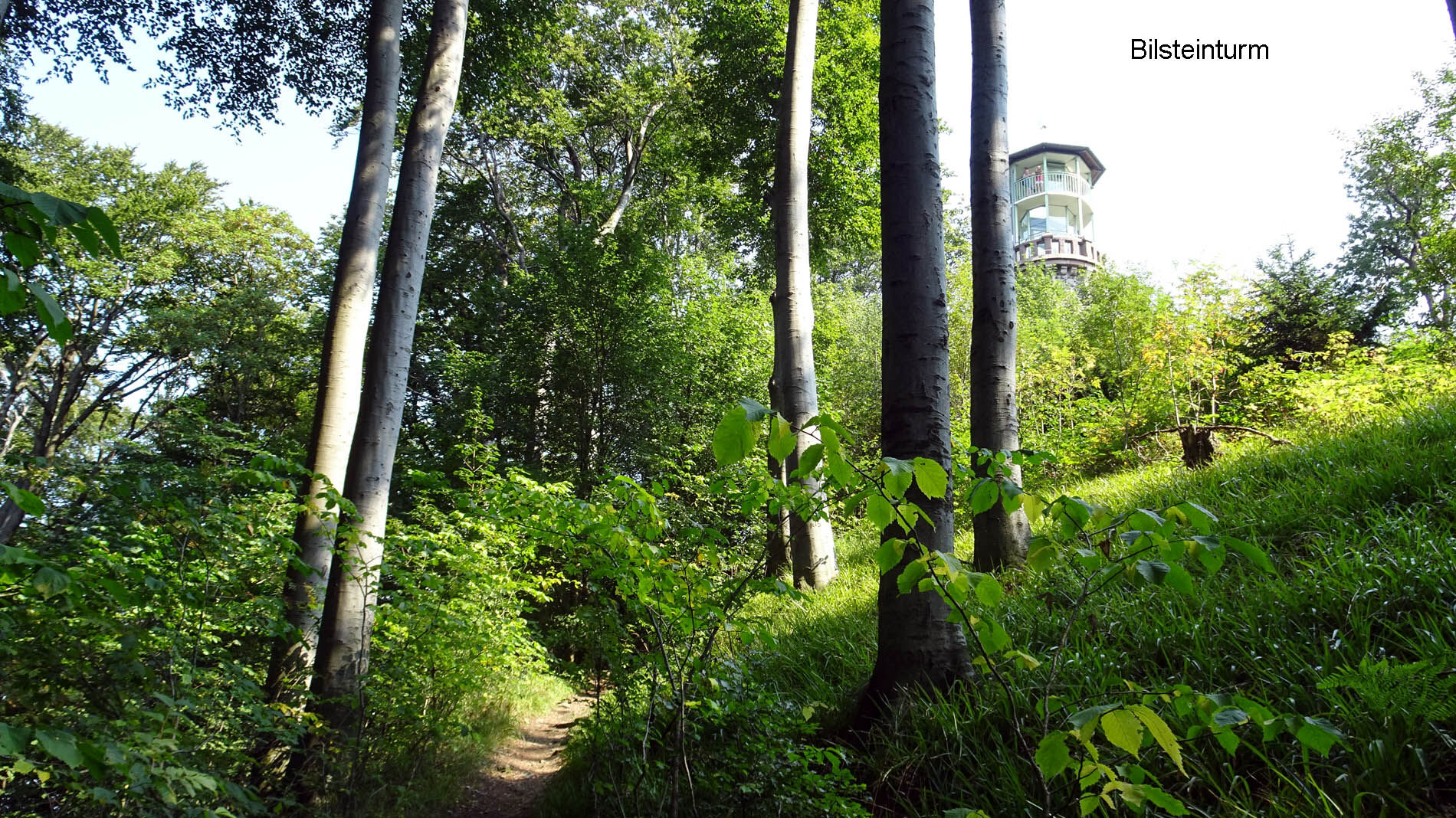
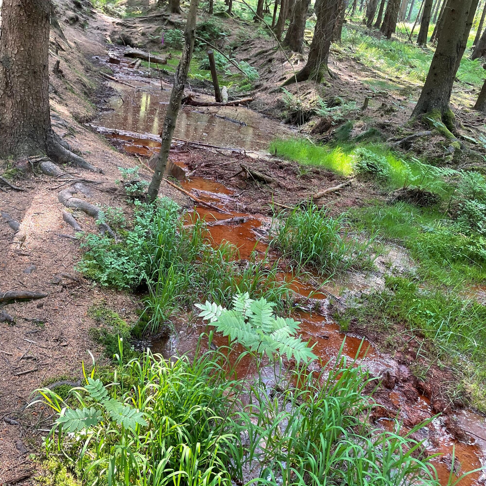
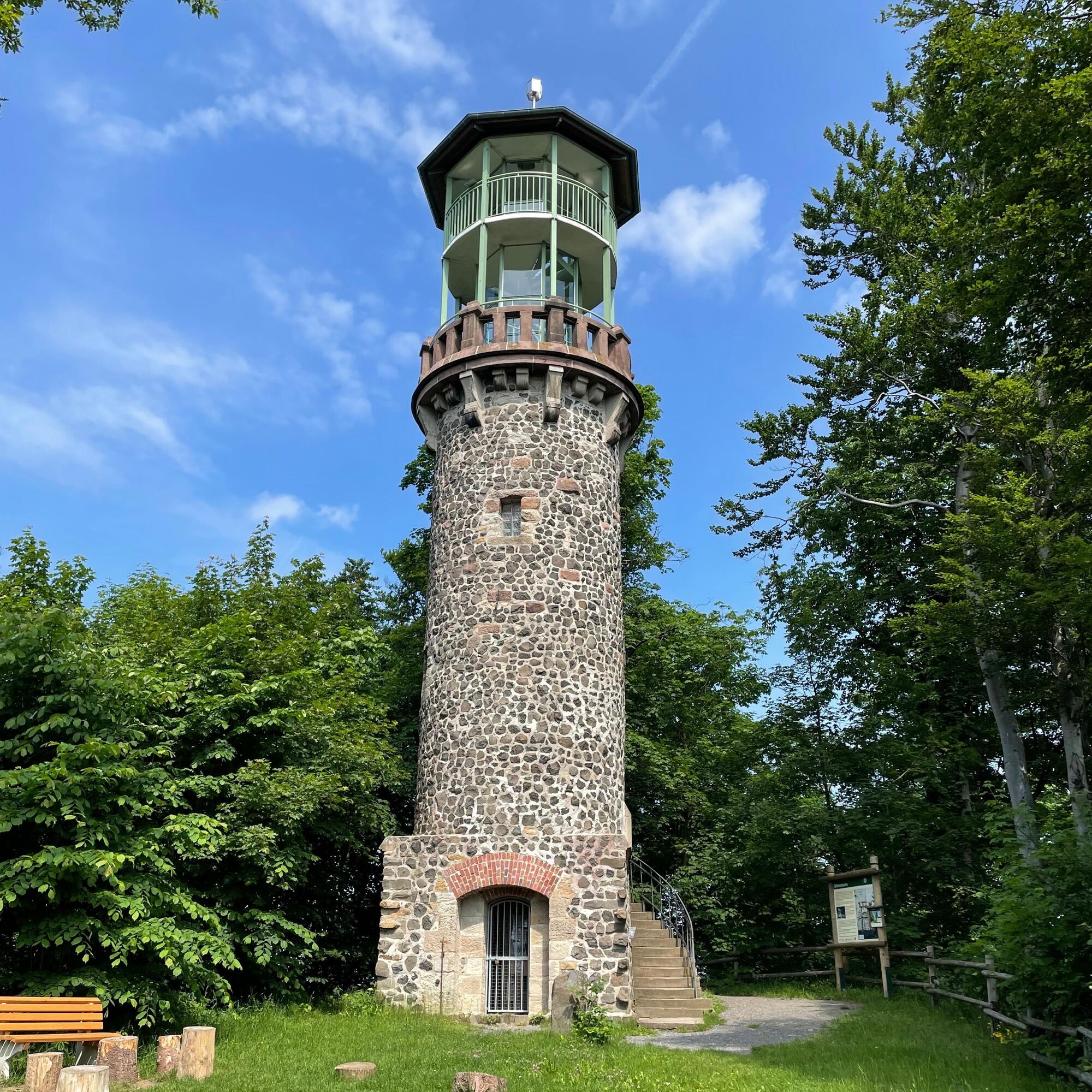
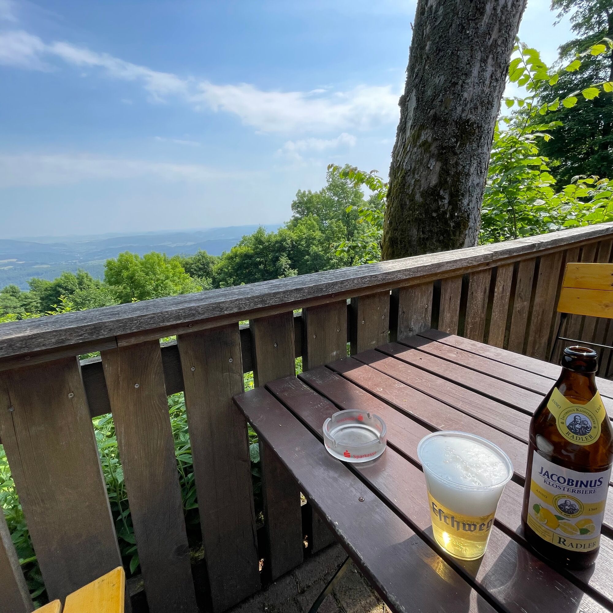
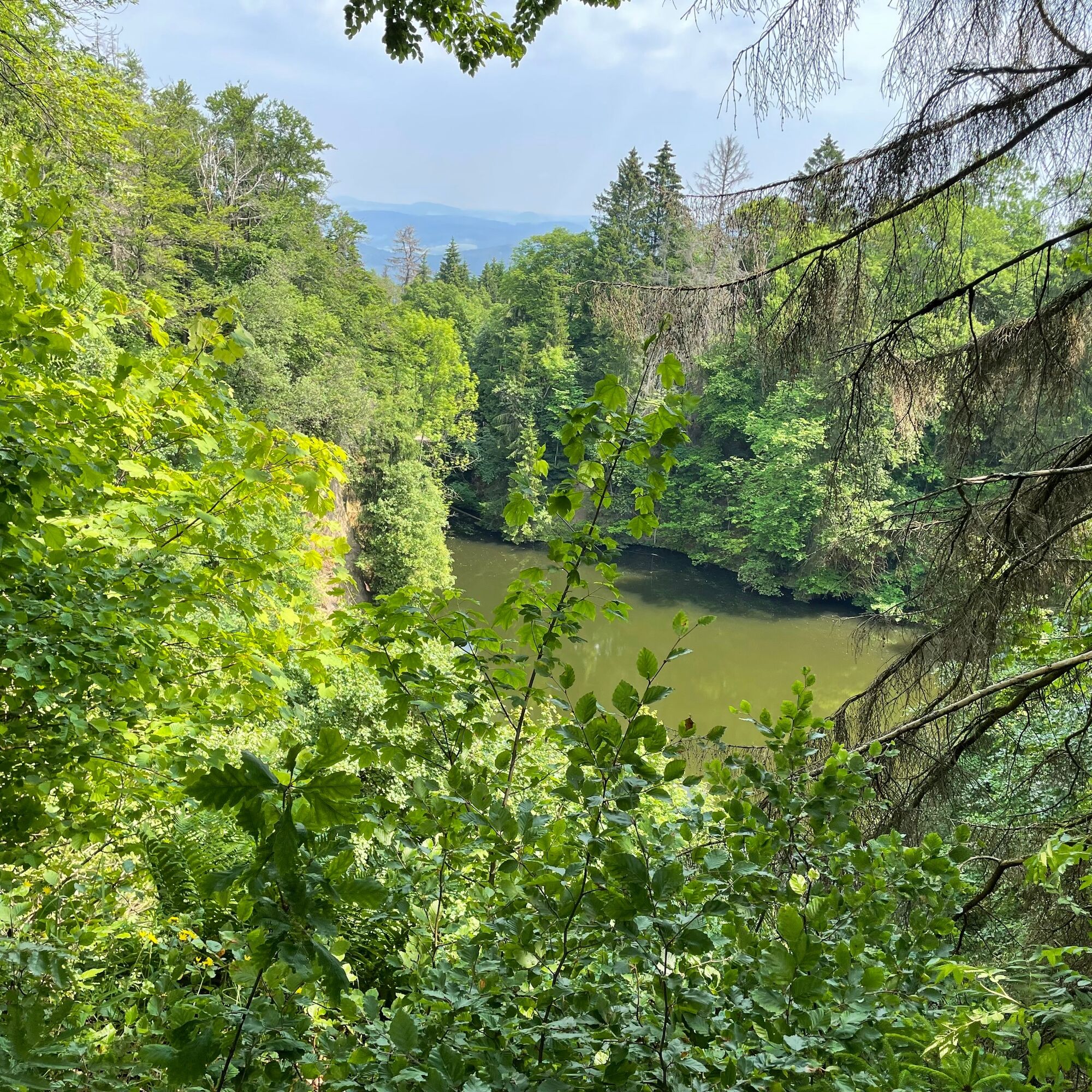
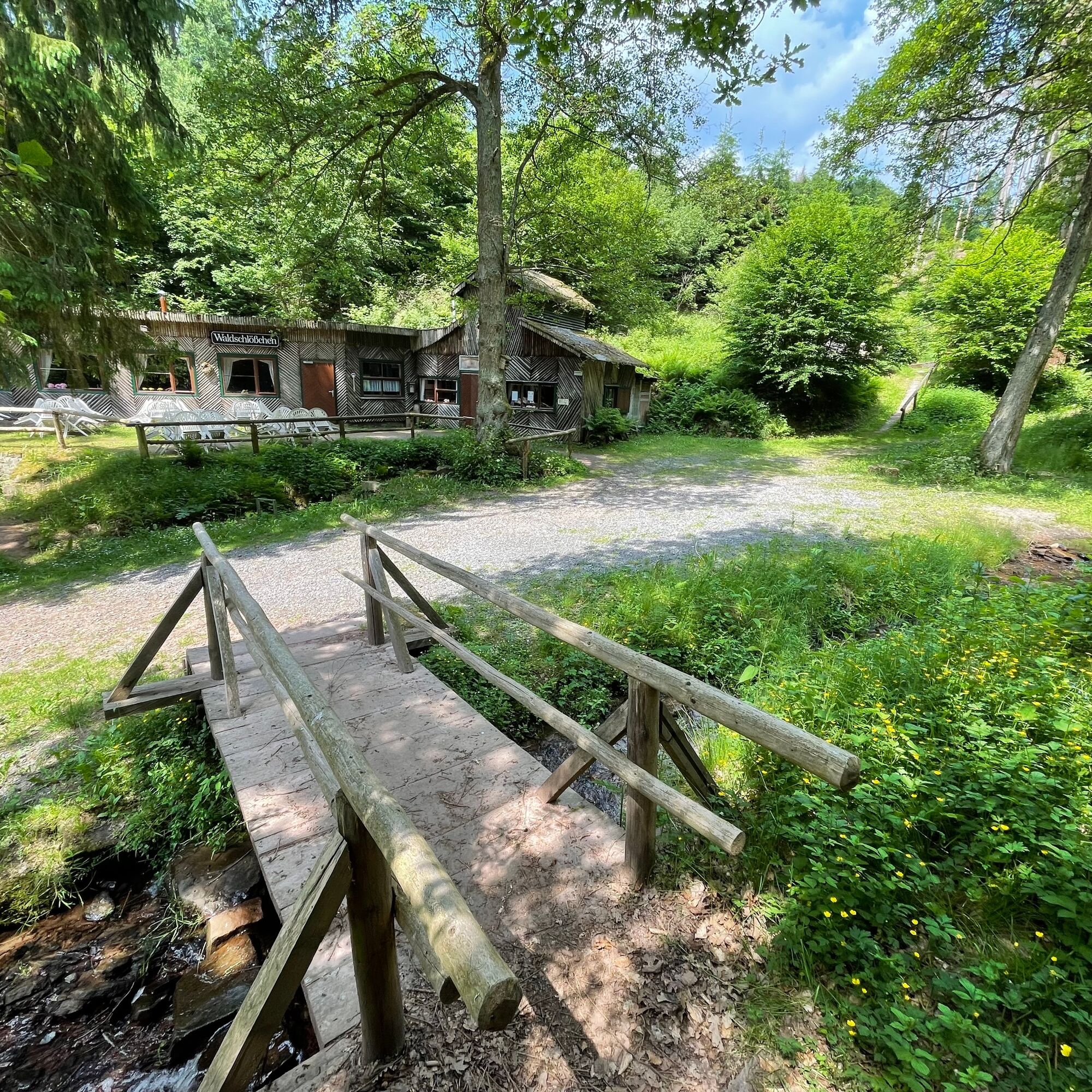
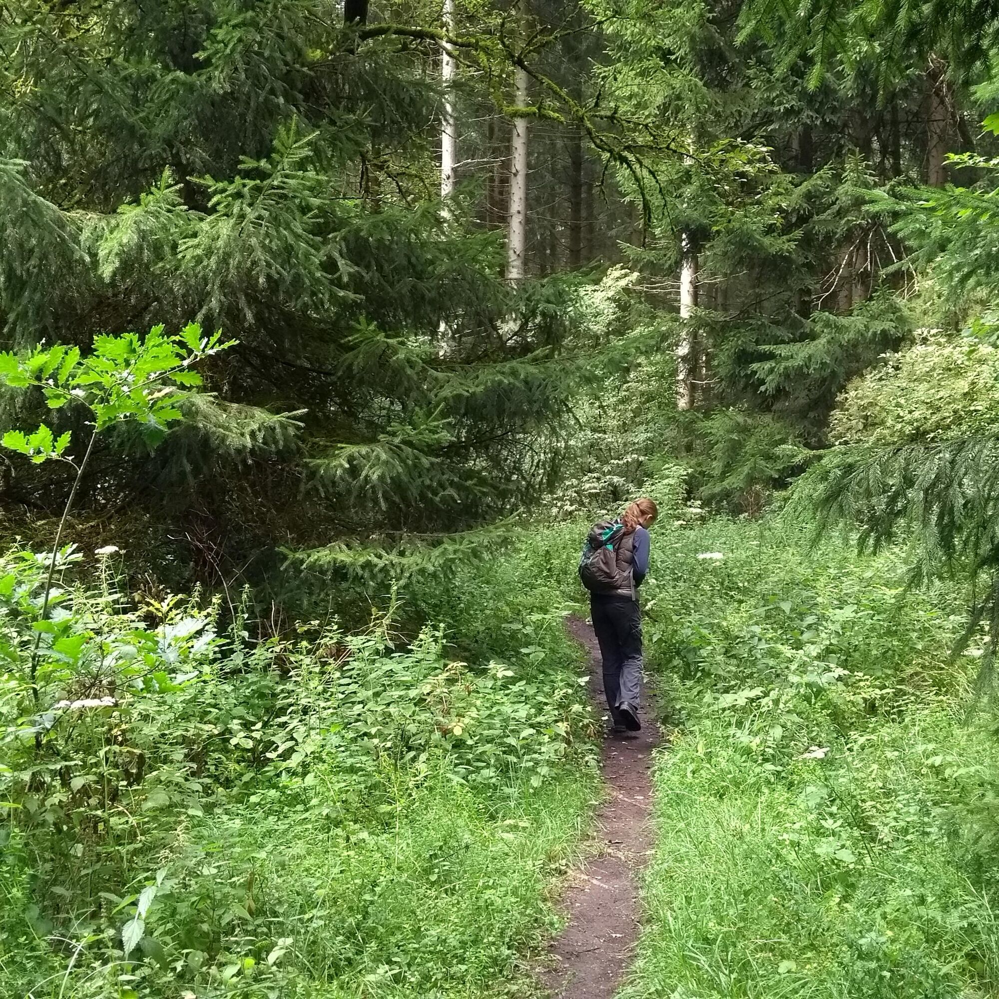
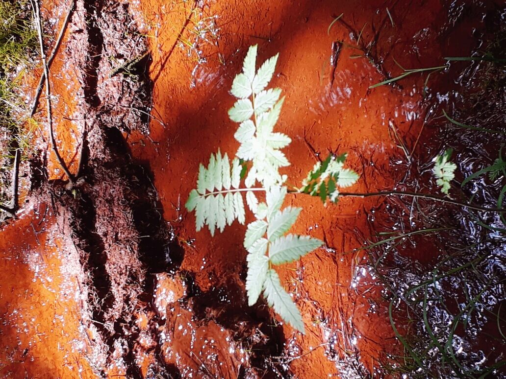
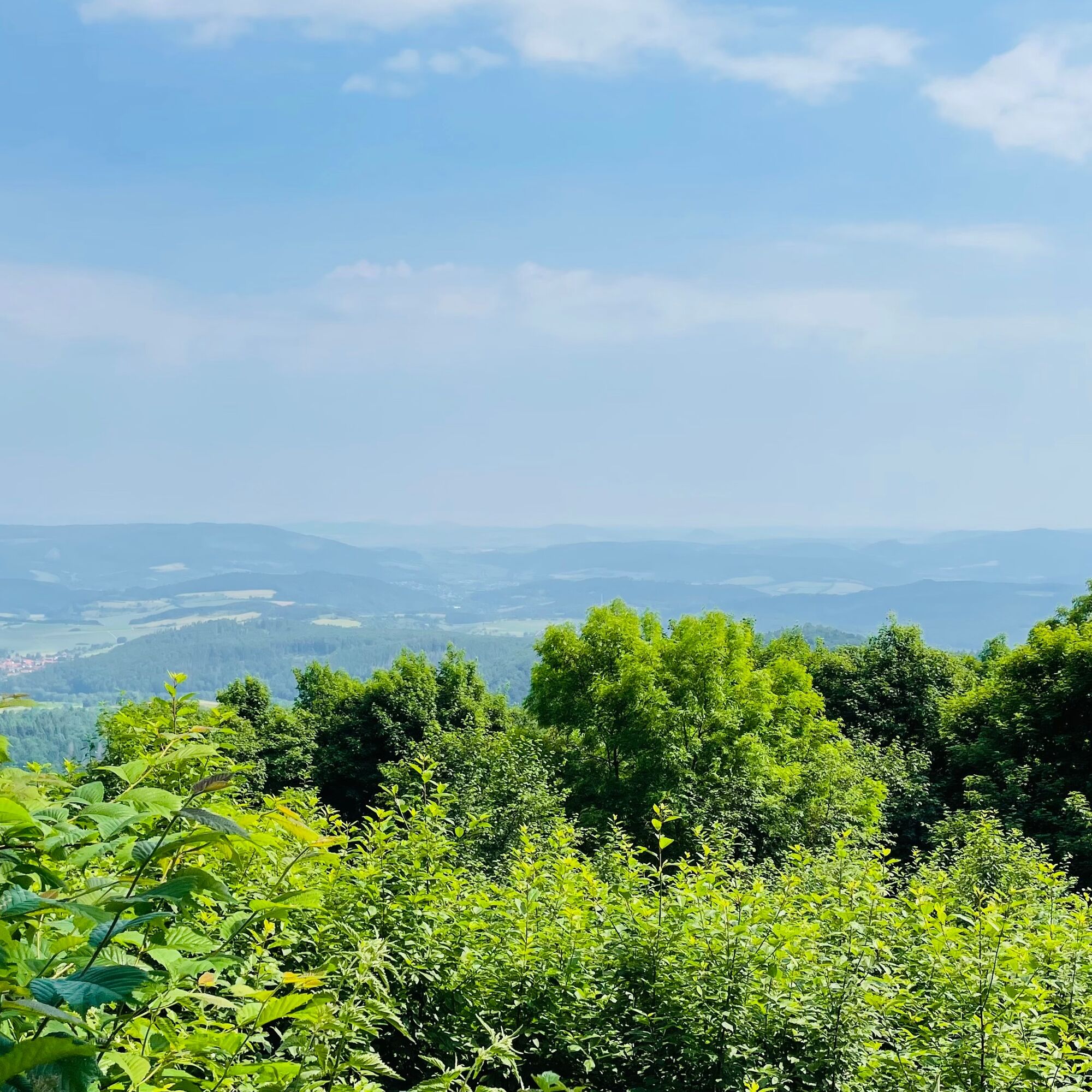
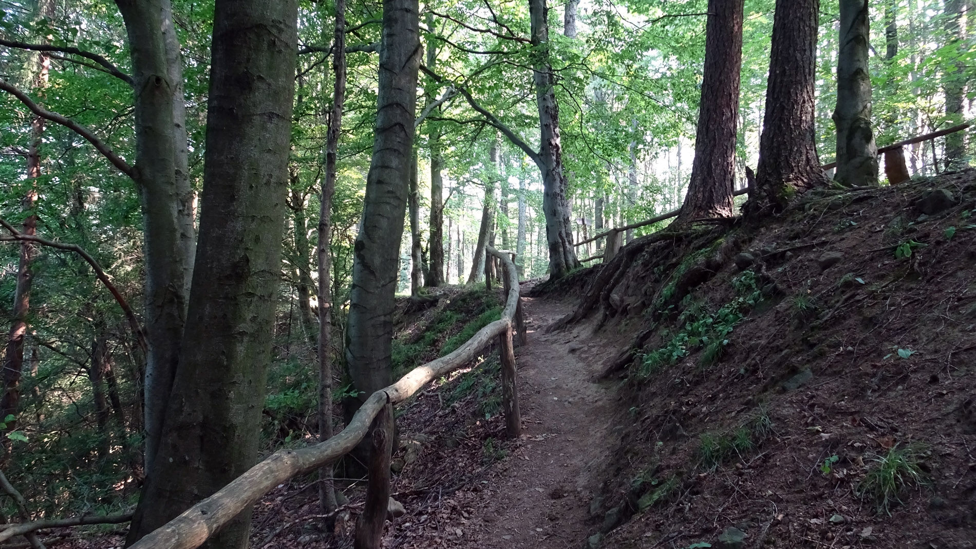
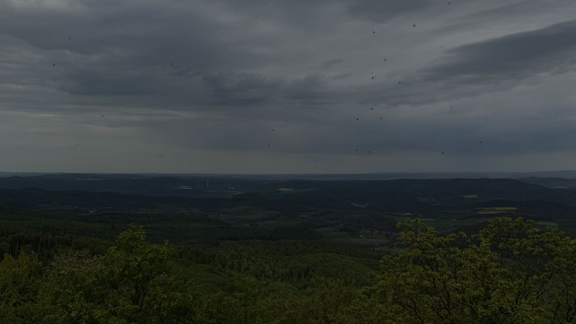
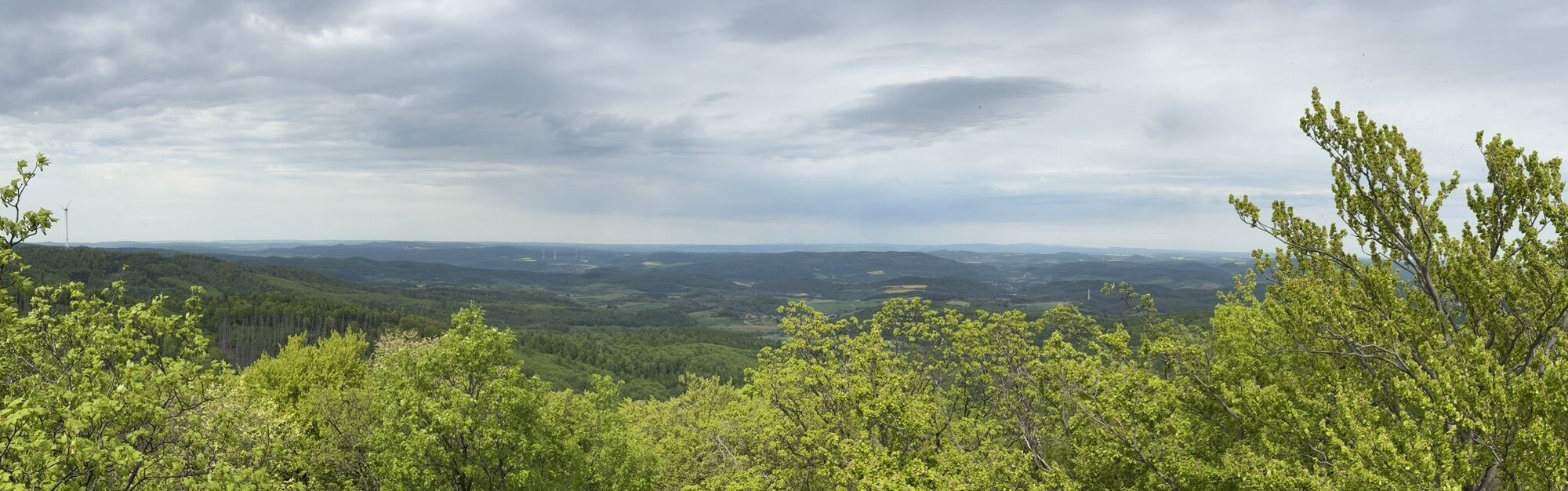
At the Bilstein car park near Gut Giesenhagen, just outside Großalmerode, starts the 10.5 km circular route through the Kaufunger Forest. You walk past the large and small Steinberg lakes, groundwater-filled open-cast mining ponds of the "Steinberg Mine," where lignite and a quartzite seam were formerly extracted. At the source of the Rote Nieste, you will notice that the stream bed actually appears red, which is due to the high iron content of the rock. Finally, you reach a rest area at the old quarry at the Steinberg natural monument. The basalt columns, up to 15 m tall and mostly hexagonal, formed below the earth's surface by delayed cooling of the magma that once emerged here. The quarry ceased operations around 1890. Continuing upward leads to the highest elevation of the Kaufunger Forest, the 641 m high Bilstein. There stands the Bilstein Tower, which you should not miss climbing. At the foot of the tower, the Zum Bilstein mountain guesthouse invites you to stop for refreshments. From the tower, you can take the marked shortcut or explore the Kaufunger Forest further. The premium trail continues to the Roter See natural monument and through the cozy Fahrbach valley down to Mäuseborn, where the Waldschlösschen invites you to rest on weekends. Then it passes the panoramic swimming pool back to the Bilstein car park.
Refreshments:
Zum Bilstein mountain guesthouse, https://xn--bilsteingaststtte-3qb.de/kontakt.html
Waldschlösschen at Mäuseborn, Tel. 05604 7393 or 5246 (open Sat and Sun).
Overnight accommodations along the route:
Hotel Restaurant Pempel, In den Steinen 2, 37247 Großalmerode, Tel. 05604 93460, www.pempel.de
Further accommodation options: www.naturparkfrauholle.land
Ano
Moderate route, sturdy hiking shoes recommended.
Please note the current notices under Important Information on Current Restrictions on Our Hiking Trails (naturparkfrauholle.land)
Navigation: Gut Giesenhagen, Kohlenstraße, 37247 Großalmerode, then follow the signs.
Via federal road B451
Nearest DB train station: Witzenhausen-Nord
Route planner of the North Hessian Transport Association: www.nvv.de
Bus line 210, next stop Pfaffenberg (with access path)
Three hiking car parks are equipped with information boards and can be used free of charge. Bilstein car park near Gut Giesenhagen, 37247 Großalmerode, Erbsmühle car park on B451 (with feeder), Oberroßbach car park (with feeder).
Ano
Open year-round, best time April to October.
Information on accommodation, excursion tips, guided hikes, and news from the Geo-Nature Park Frau-Holle-Land: www.naturparkfrauholle.land, Tel. 05657 644990 or 0561 1003-1382.
Here you can book an experienced nature park guide who will accompany you on your tour.
Visit the Glass and Ceramics Museum in Großalmerode where you will find information about the city's industrial culture and social history. Großalmerode has played a significant role in the production of alum, ceramics, and glass. Contact Tel. 05604 9335-26.
In 2023, the Hortensienpark Erbsmühle opened in Großalmerode. https://www.naturparkfrauholle.land/tourismus/natur-entdecken/hortensienpark

Oblíbené prohlídky v okolí
-
4.0
Premium route P1 Hoher Meißner
heavyTuristika 13.8 km -
4.0
Premium route P11 Niester Riesen
světloTuristika 11.6 km -
4.3
Premium route P22 Sankt Ottilien
středníTuristika 11.0 km -
5.0
Premium route P2 Frankershäuser Karst
heavyTuristika 10.2 km -
3.5
Premium route P27 Ludwigstein
středníTuristika 11.2 km -
5.0
Premium route P10 Reichenbach
středníTuristika 13.1 km -
5.0
Premium route P25 Kleinalmerode
středníTuristika 13.4 km -
Premium route P9 Wacholderpfad Roßbach
středníTuristika 11.1 km -
Premium route P23 Höllental
středníTuristika 9.89 km -
4.0
5th section Werra-Burgen-Steig Hessen
heavyTuristika 17.5 km
Pěší turistika a stopování


Nenechte si ujít nabídky a inspiraci pro vaši příští dovolenou
Vaše e-mailová adresa byl přidán do poštovního seznamu.