


Winter hike Vella - Lumbrein
The first part of the hike leads from Vella to the bathing lake Davos Munts. On this section, the path mostly goes straight ahead, just right to warm up. After the bathing lake Davos Munts, the path passes...
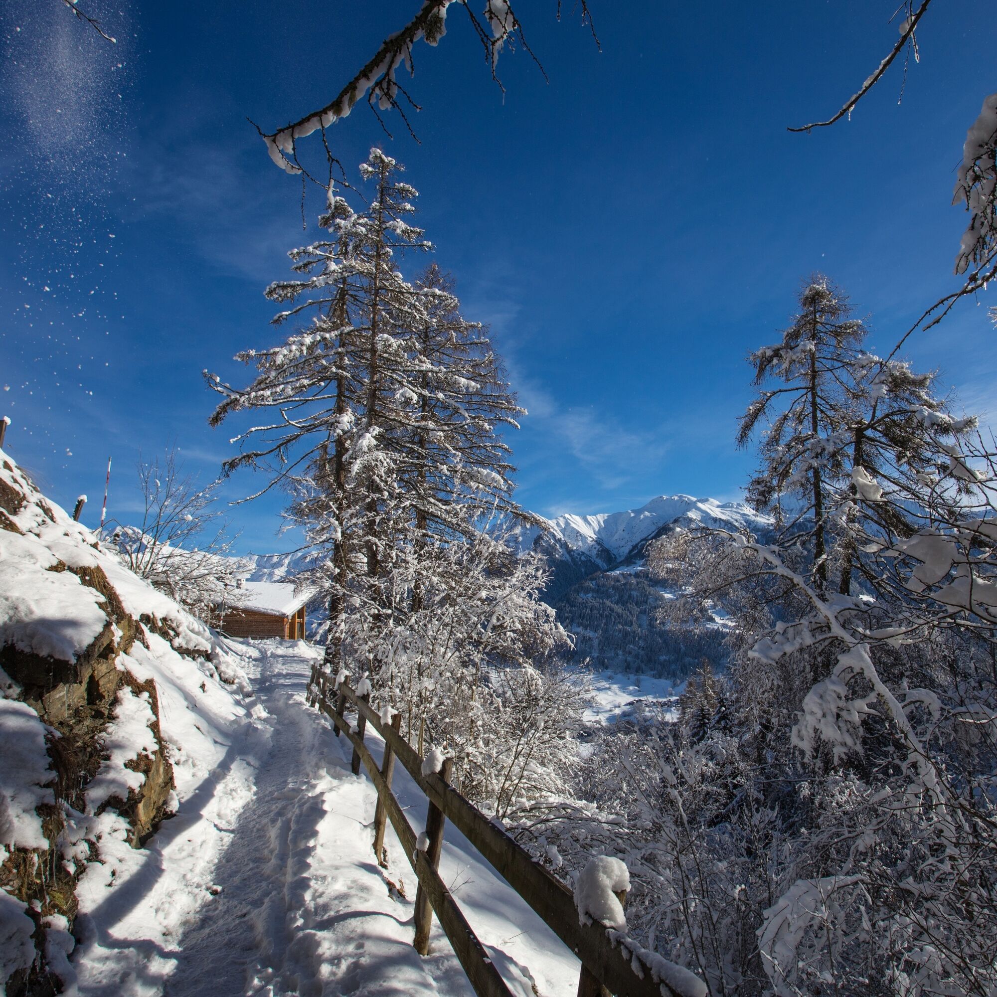
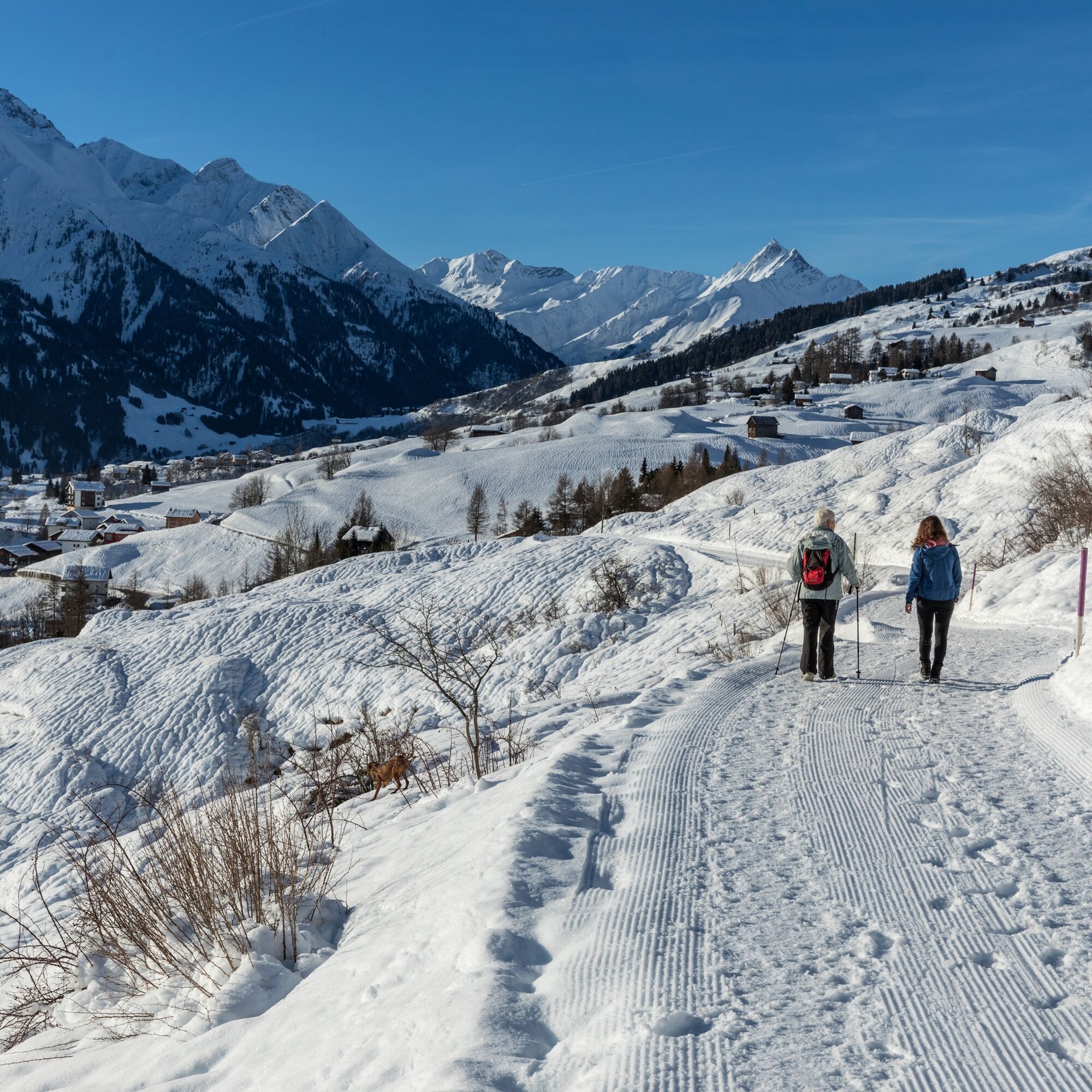
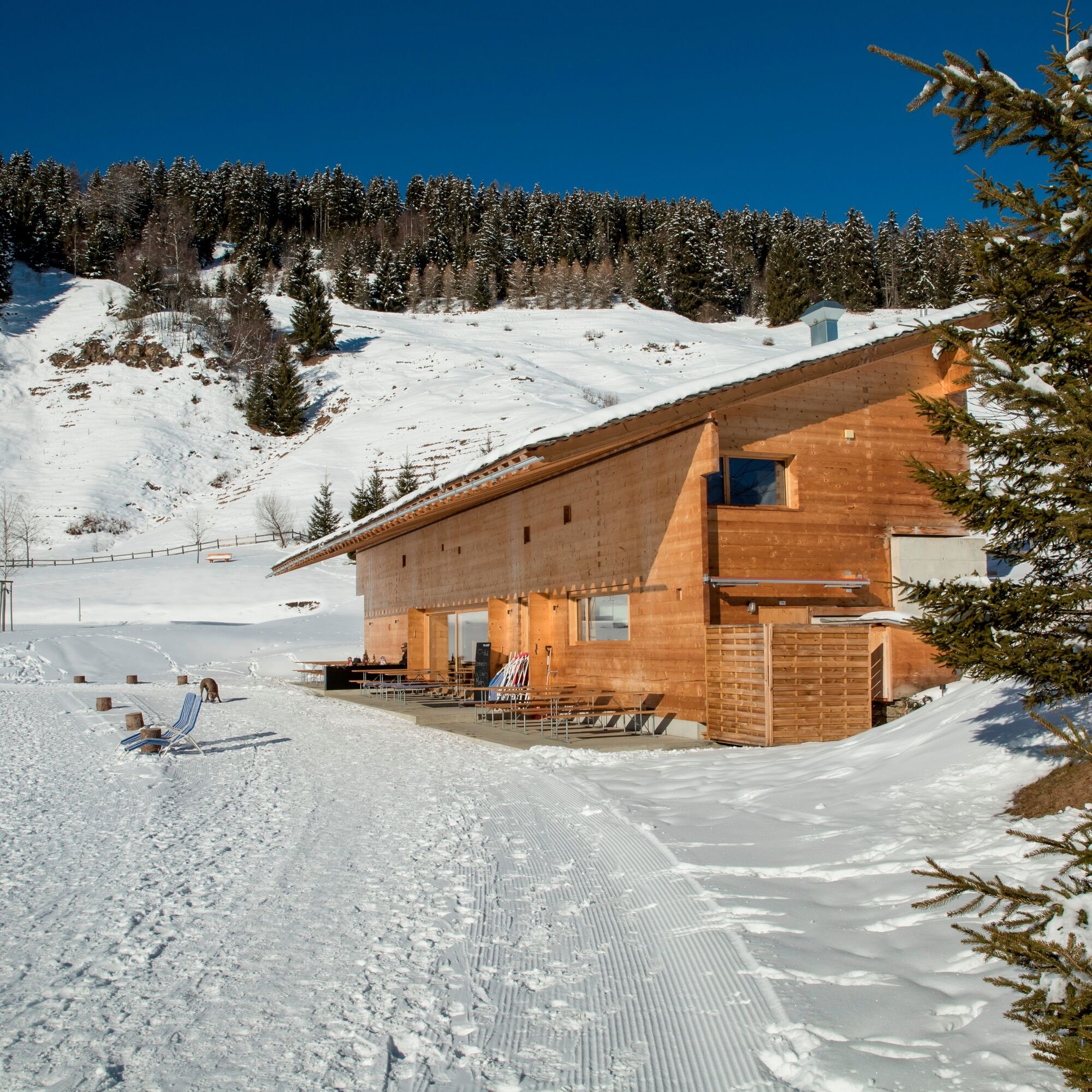
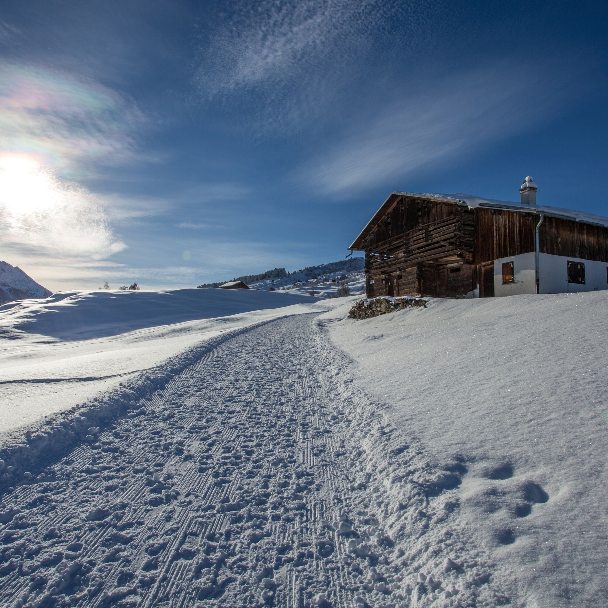
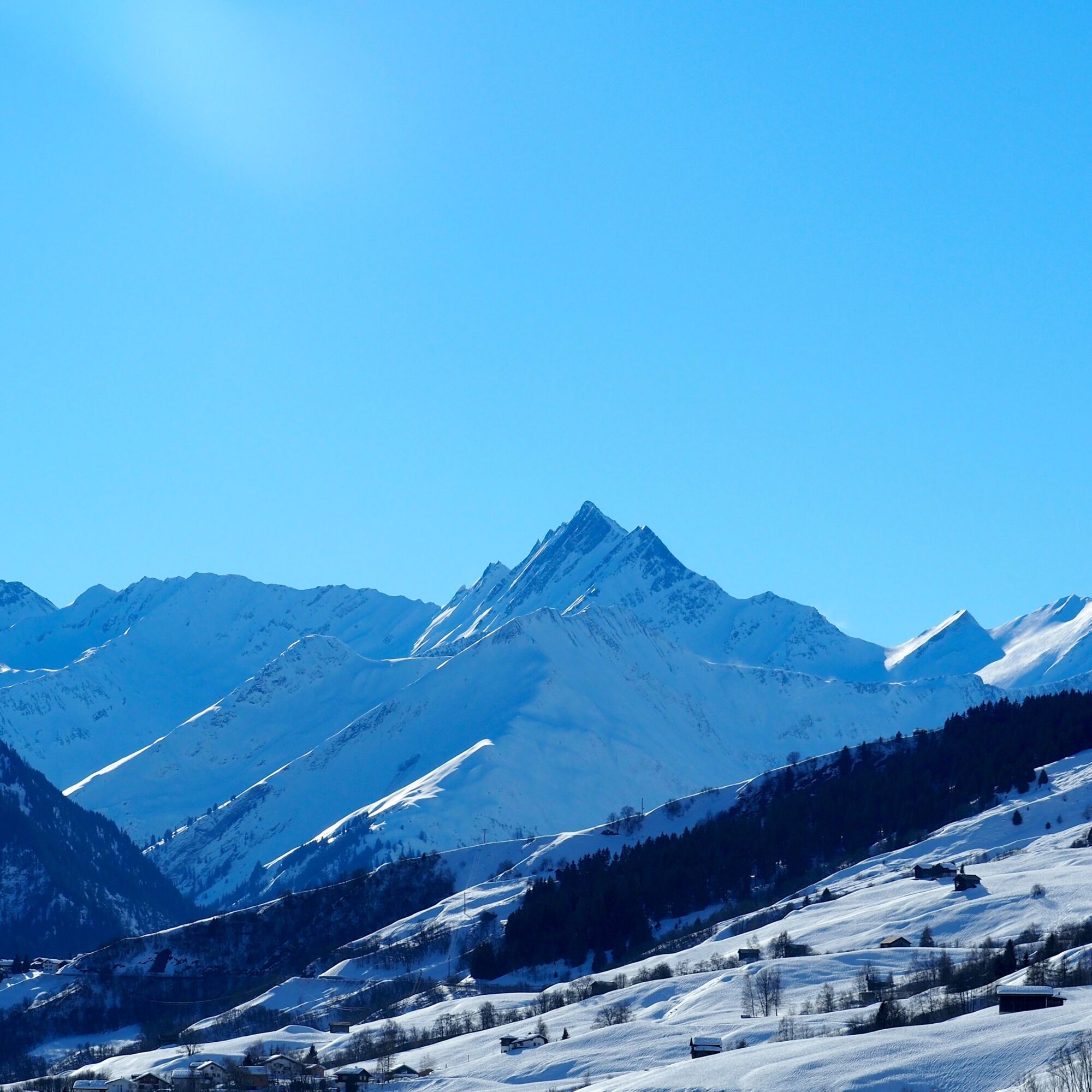
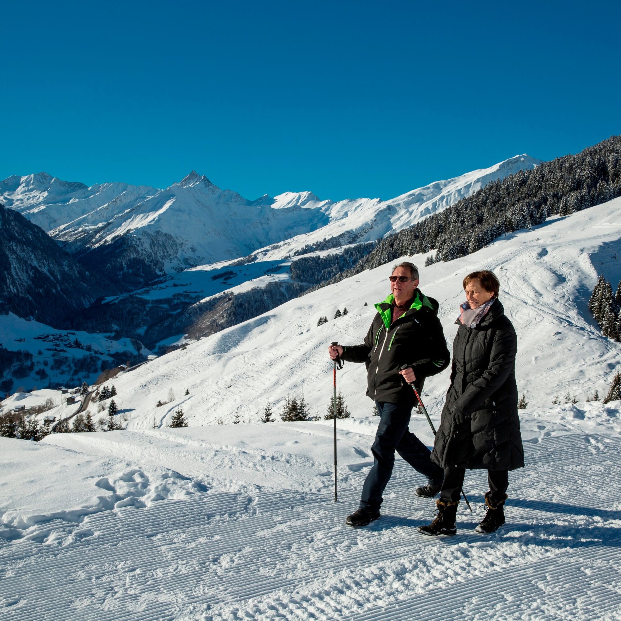
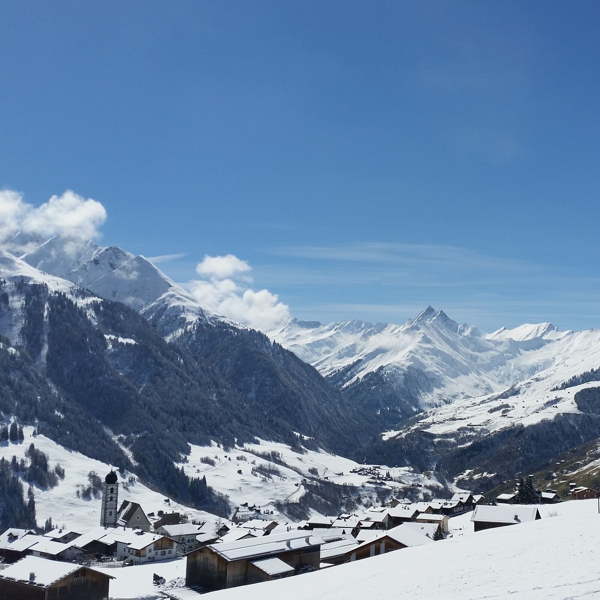
The first part of the hike leads from Vella to the bathing lake Davos Munts. On this section, the path mostly goes straight ahead, just right to warm up. After the bathing lake Davos Munts, the path passes the houses of Val Tiarm. This is followed by a short, but somewhat steeper descent through the Val Tiarm ravine to Vignogn. Above the village of Vignogn, the long ascent begins over Dimaz and Pastais. From Planezzas, it then goes mostly on the snow-cleared road down to the village of Lumbrein.
See also
Surselva Tourism AG
Info Lumnezia
Palius 32 D
CH-7144 Vella
Tel.: 0041 81 931 18 58
E-mail: vallumnezia@surselva.info
Internet: www.surselva.info

Vella - Davos Munts - Pastais – Lumbrein
High and sturdy hiking boots or winter boots, warm clothing, sun protection, hiking poles recommended.
In uncertain weather conditions, the route should be avoided. Weather changes in the mountains are common. If a bad weather front or similar develops during the hike, you should turn back in time. We also advise against hiking in dense fog.
Via Chur A3/A13 via Flims to Ilanz into Val Lumnezia.
PostBus line 90.441 Ilanz - Vrin. Stop Vella
During the winter season, the PostBus on the Ilanz – Vrin line and other lines throughout the municipality of Lumnezia can be used free of charge by everyone.
Limited parking options in Vella. We generally recommend arriving by public transport.
During the winter season, the PostBus on the Ilanz – Vrin line and other lines throughout the municipality of Lumnezia can be used free of charge by everyone.
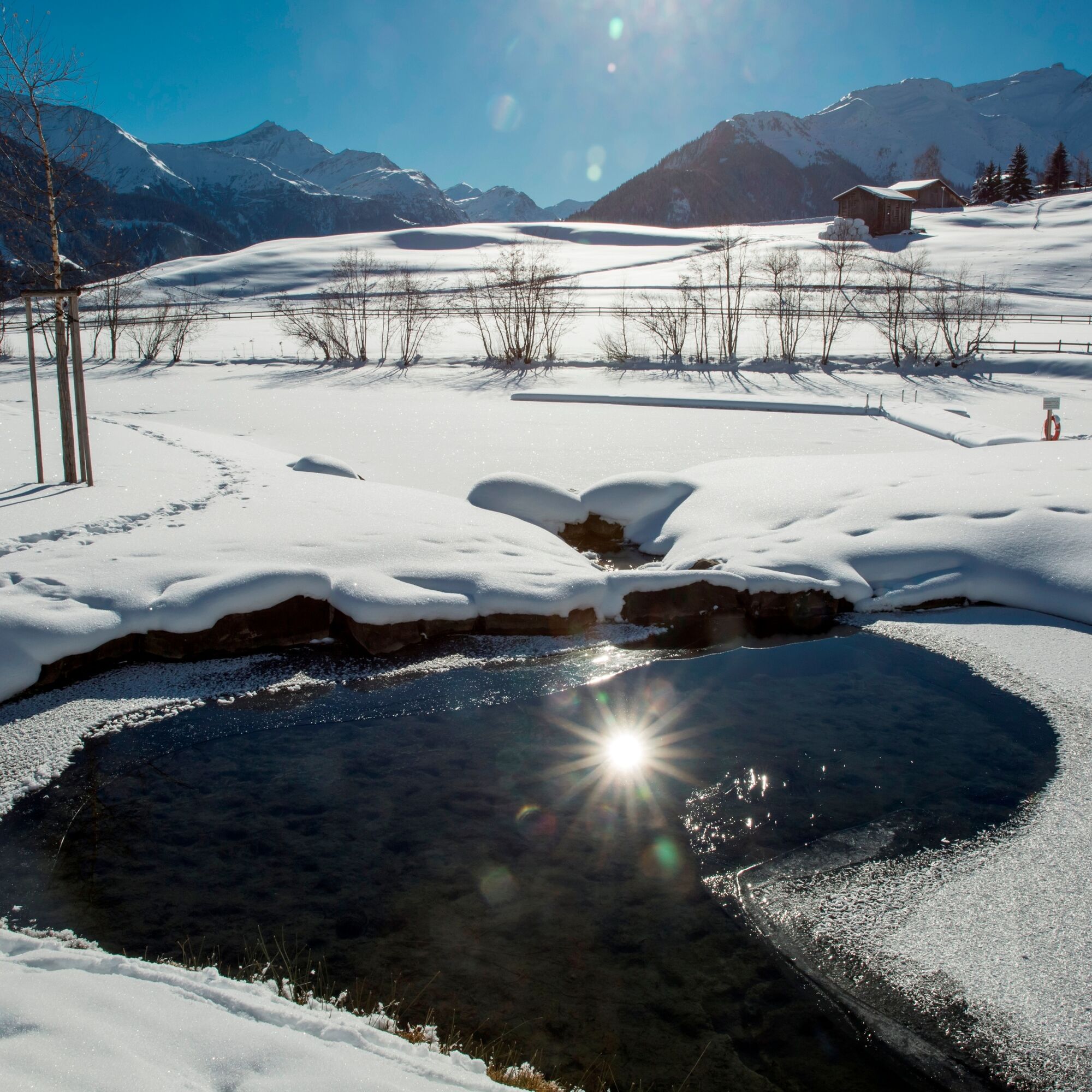
Take a short break at the bathing lake Davos Munts above Vattiz. The bathing lake is worth a visit not only in summer.
Instead of hiking down from Planezzas to the village of Lumbrein, you can continue the hike to Vrin (approx. 2 1/2 hours).
Oblíbené prohlídky v okolí
-
4.8
Rheinschlucht: From Ilanz to Versam into the heart of the Rheinschlucht
středníTuristika 11.4 km -
5.0
High valley Val Frisal
heavyTuristika 12.4 km -
4.3
Circular hike: Falera-Curnius-Alp Dadens-Falera
středníTuristika 11.4 km -
Piz Fess 2880m, der Stolze
heavyTuristika 12.8 km -
5.0
Panorama route
světloTuristika 5.39 km -
4.7
Dutjer Alp - magnificent view
středníTuristika 8.23 km -
5.0
Hiking route Suspension Bridge Val da Tersnaus
středníTuristika 3.24 km -
3.3
3-lake hike
středníTuristika 12.8 km -
5.0
Winter hike Gadastatt - Frunt - Zerfreila (Panorama trail)
světloZimní turistika 5.36 km -
4.6
Trail run: Pigniu - Panixersee - Pigniu
středníTrailrunning 8.32 km
Pěší turistika a stopování


Nenechte si ujít nabídky a inspiraci pro vaši příští dovolenou
Vaše e-mailová adresa byl přidán do poštovního seznamu.