


Trail run: Pigniu - Panixersee - Pigniu
Fotografie našich uživatelů
-
 © Willimann PhilippVytvořeno dne 25.10.2025
 -
 © Willimann PhilippVytvořeno dne 25.10.2025
 -
 © Willimann PhilippVytvořeno dne 25.10.2025
 -
 © luyyyVytvořeno dne 08.07.2023
 -
 © luyyyVytvořeno dne 08.07.2023
 -
 © luyyyVytvořeno dne 08.07.2023
 -
 © luyyyVytvořeno dne 08.07.2023
 -
 © luyyyVytvořeno dne 08.07.2023
 -
 © luyyyVytvořeno dne 08.07.2023


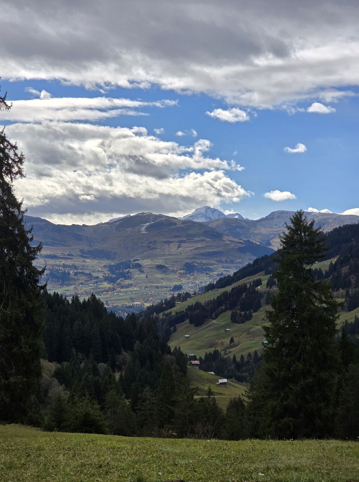
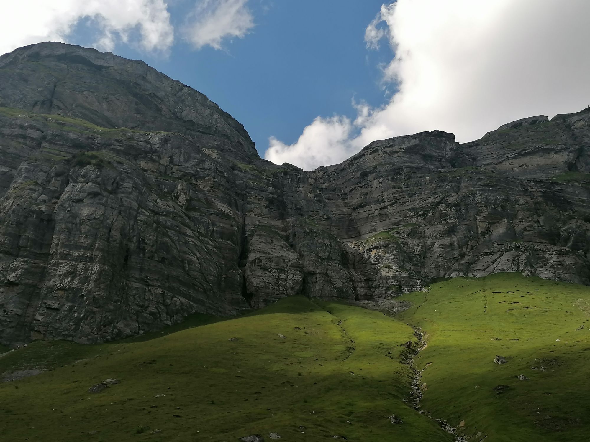


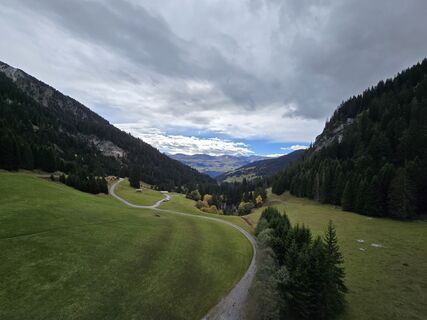
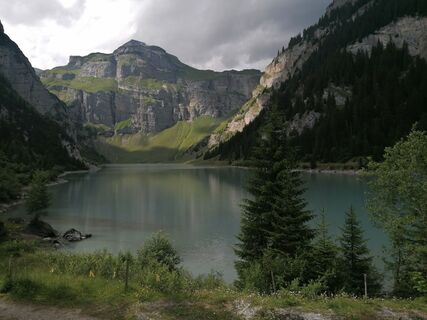
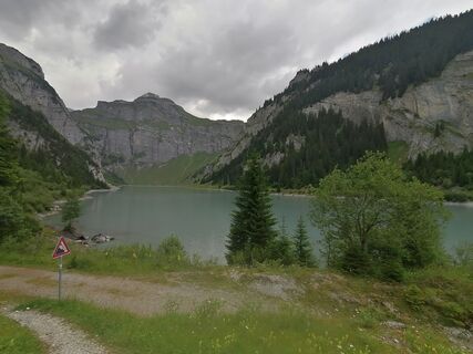
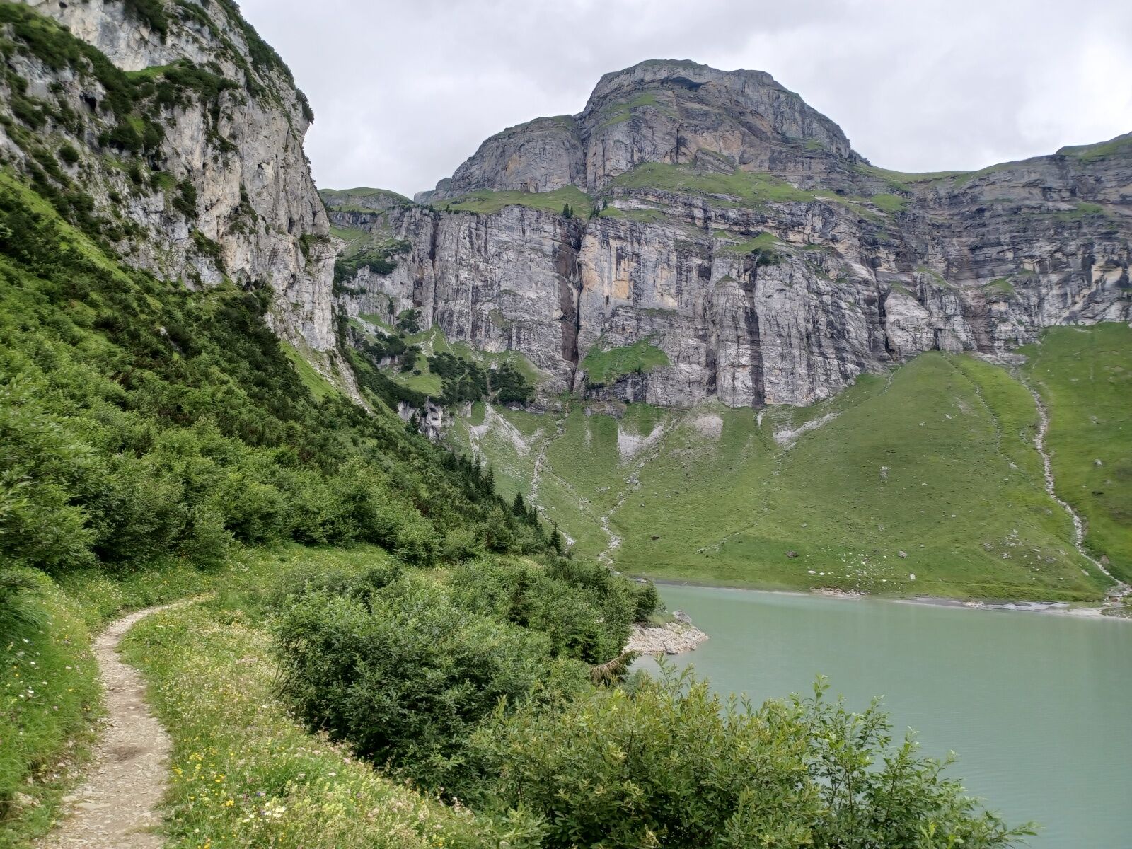
The 8 km long route starts at the parking lot at the end of the small village of Pigniu. After about 800 m, the path leads left at the fork down to Val Schmuer, where the entry to the route is located....
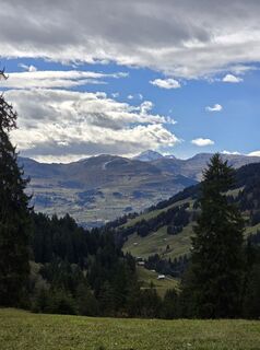
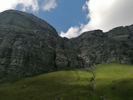
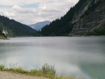
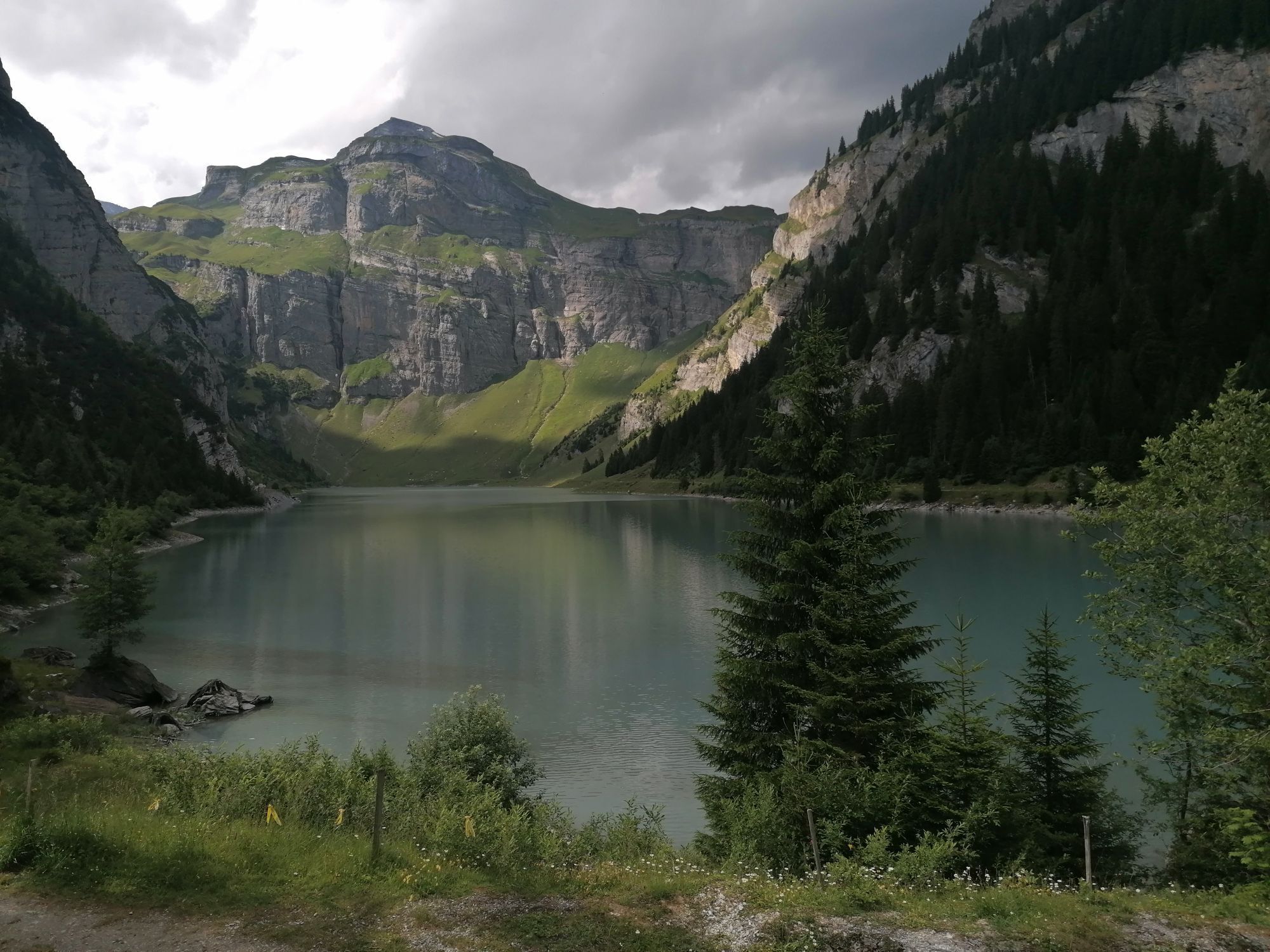
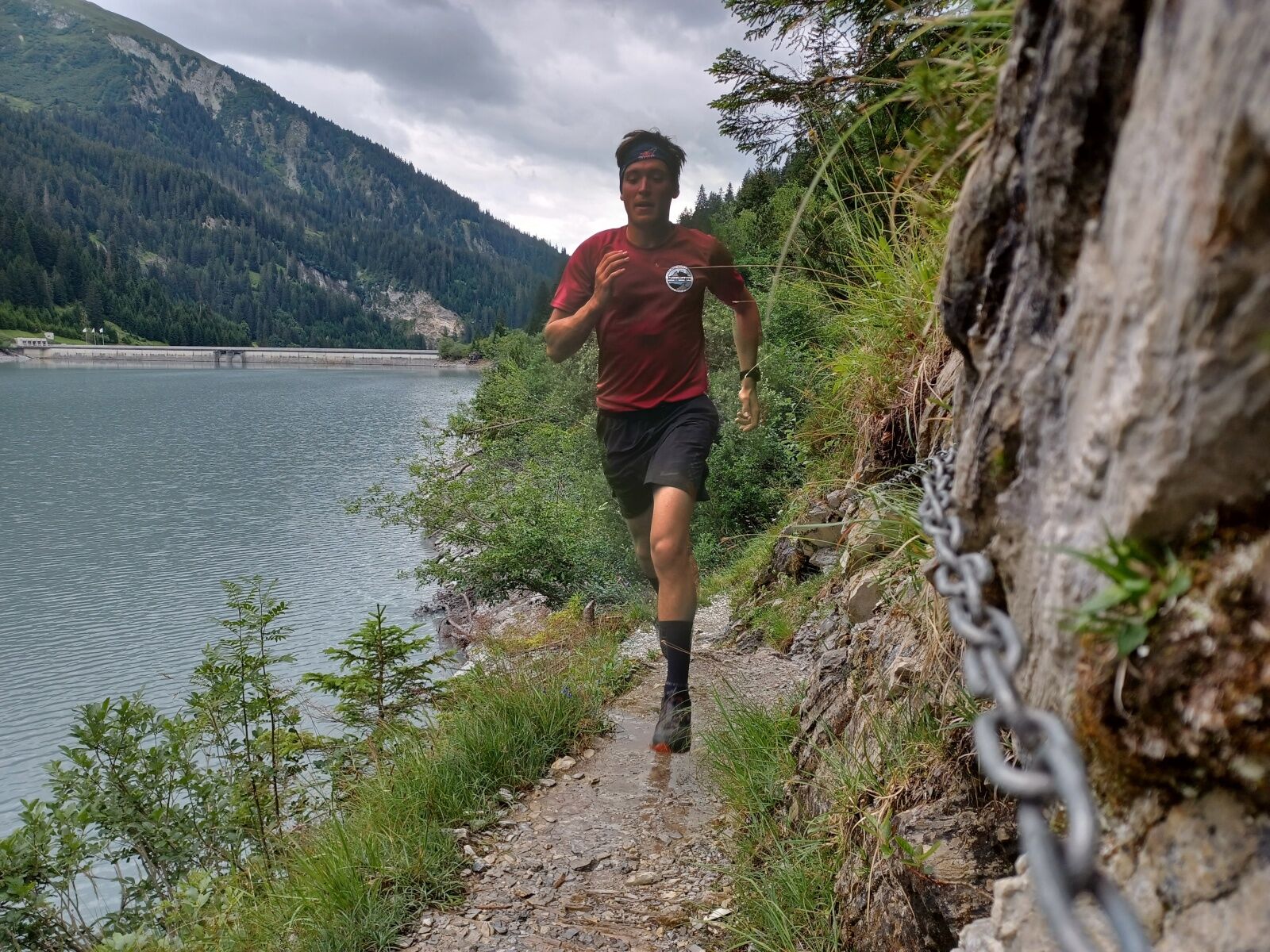
The 8 km long route starts at the parking lot at the end of the small village of Pigniu. After about 800 m, the path leads left at the fork down to Val Schmuer, where the entry to the route is located. Before you can run around the lake at the height of Lag da Pigniu, about 200 meters of altitude must be overcome, after which the toughest part of this route is already over and the wonderful mountain scenery can be fully enjoyed without major ascents. This trail running route is very suitable for beginners who want to experience running on trails over roots and stones and overcoming steep climbs. This place is truly a hidden gem for those who want to do a short round of trail running with a certain touch of mountain feeling in their pocket.

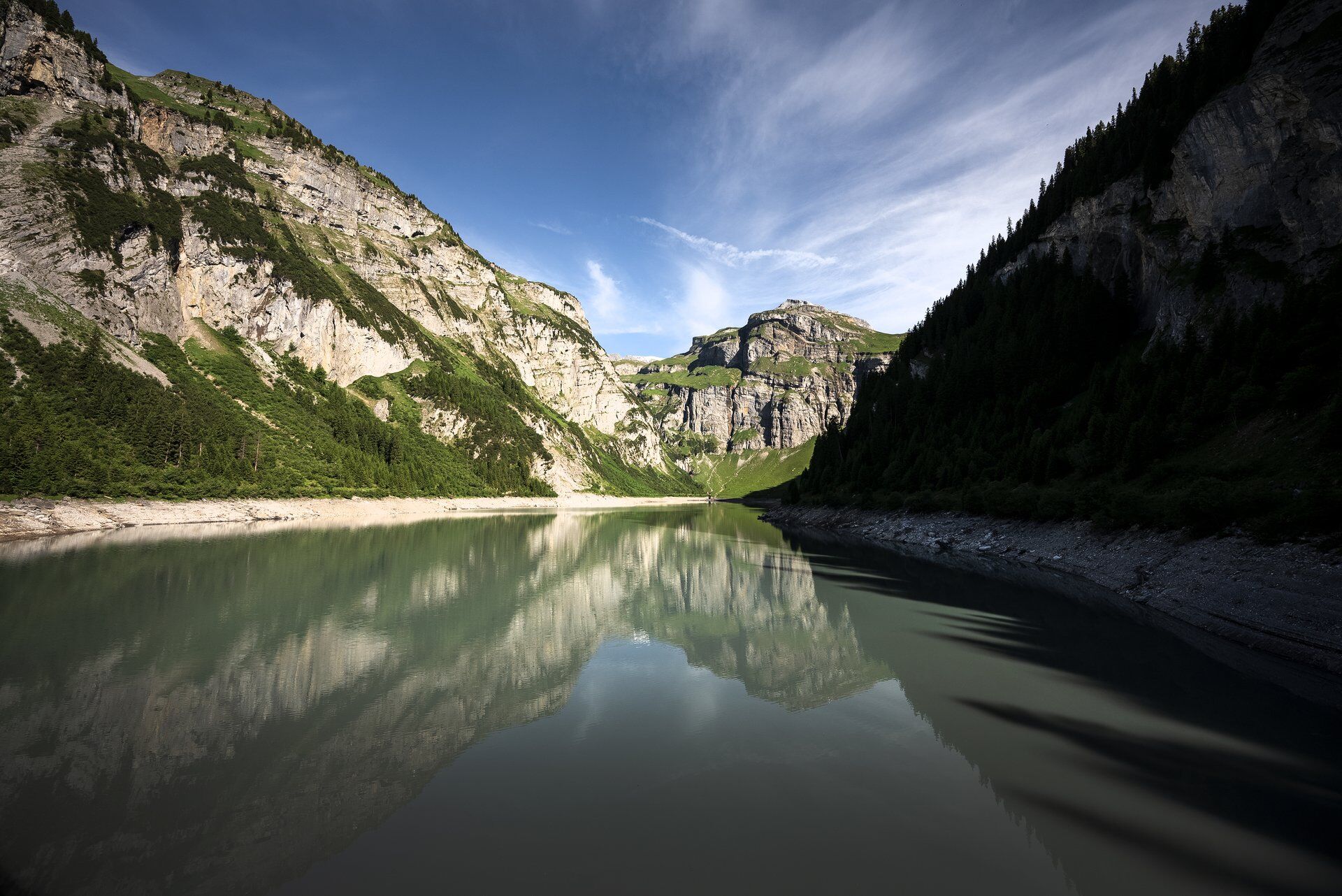
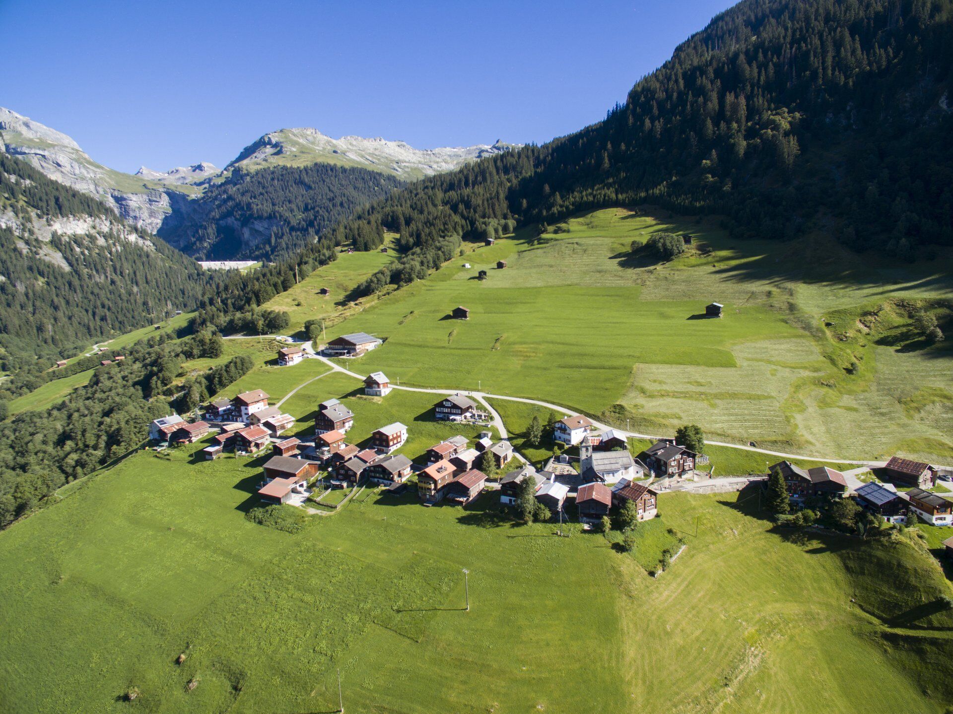
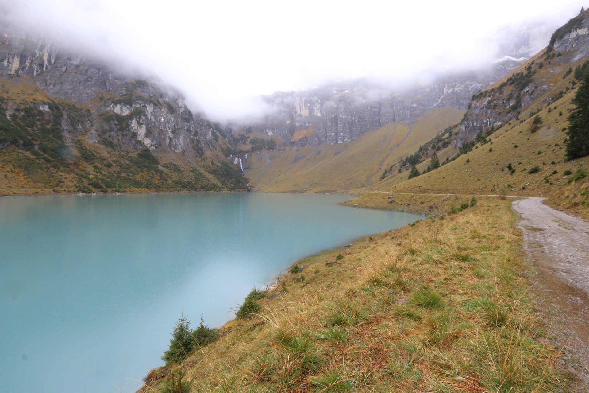
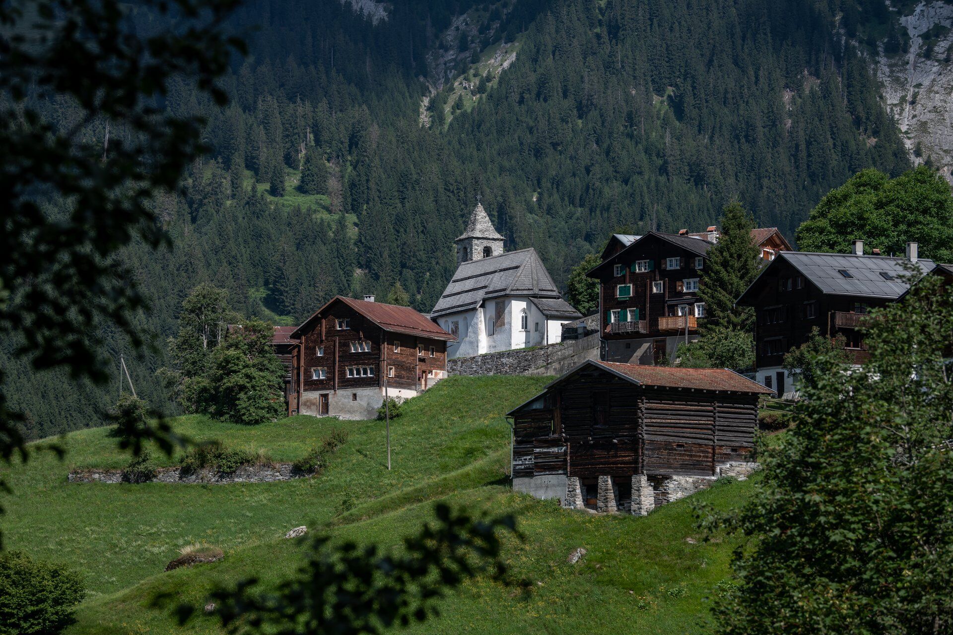
Pigniu (parking lot at the end of the village) - Val Schmuer - Panixersee - Pigniu
Ano
Trail running shoes with good tread and a grippy sole, weather-appropriate clothing, first aid kit, drinks and snacks.
The route should not be started in uncertain weather conditions. Weather changes in the mountains are frequent. If a rain front or similar approaches during the hike, you should turn back in time.
On the A13 to Reichenau, then on main road 19 via Flims to Rueun and then up to Pigniu (Panix).
Take bus 423 towards Pigniu and get off at the Pigniu post stop. You can find the exact connections on the SBB website: www.sbb.ch
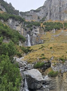
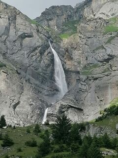
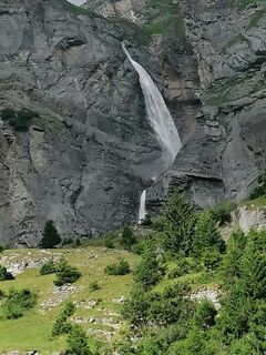
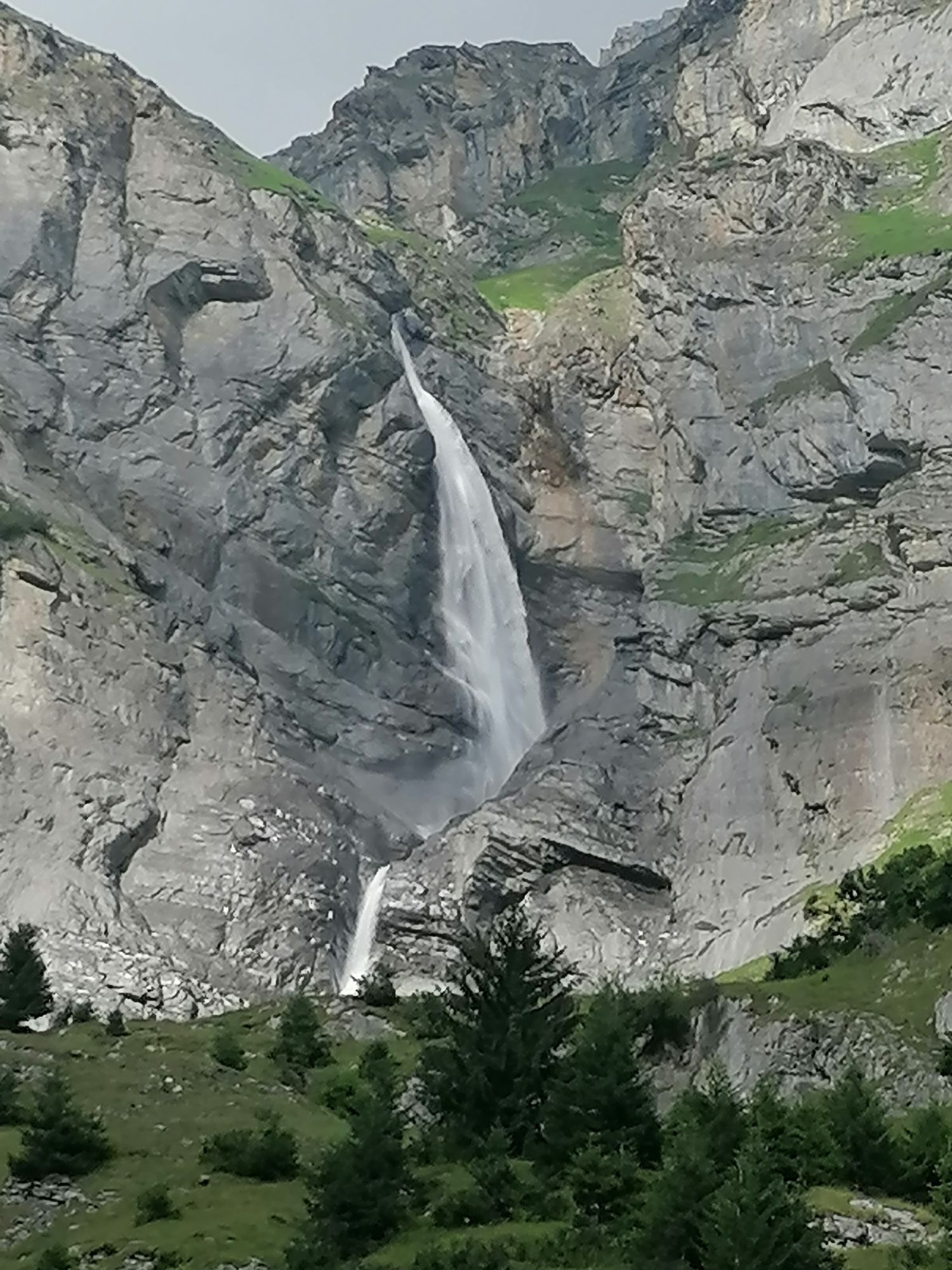
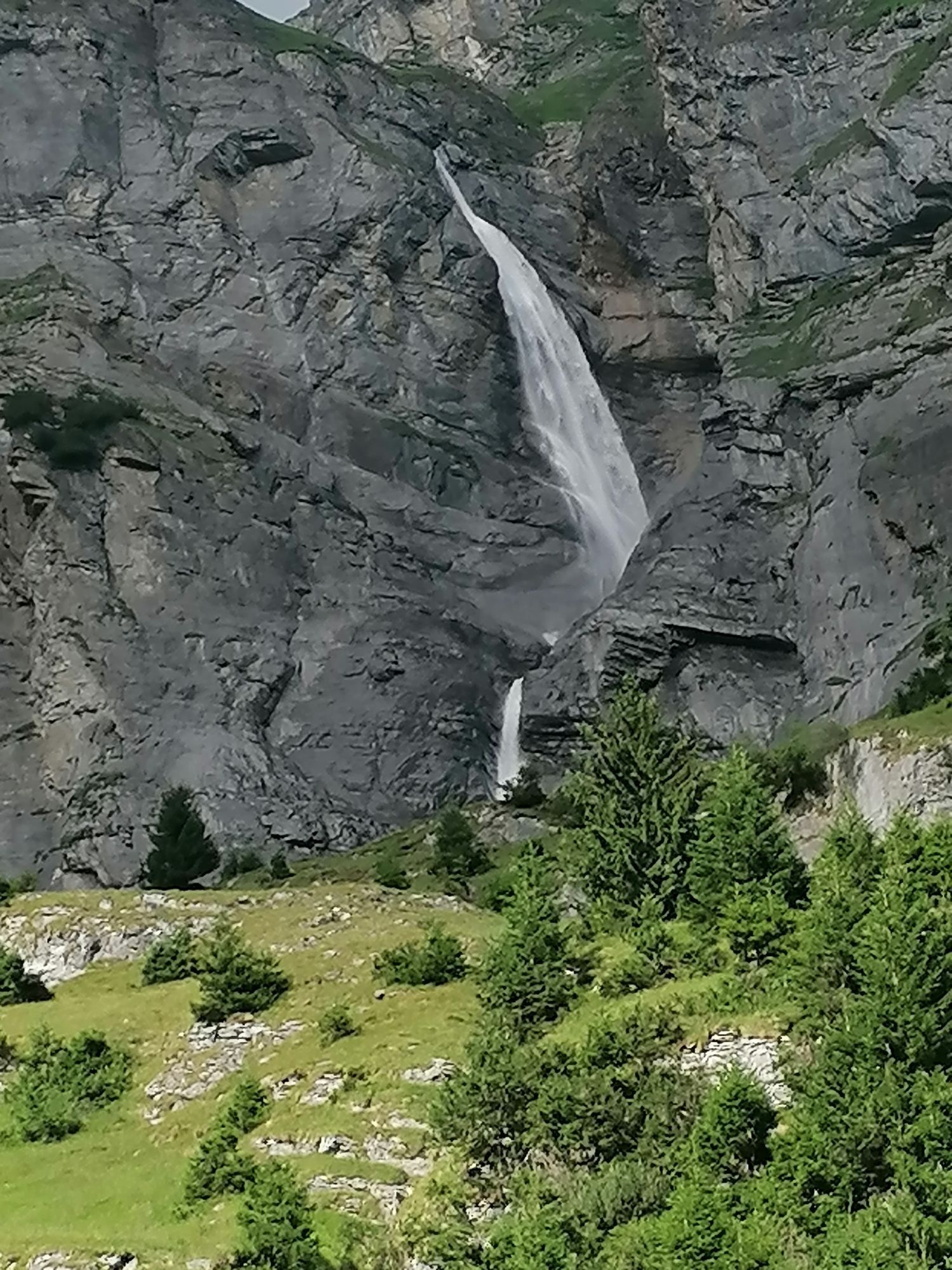
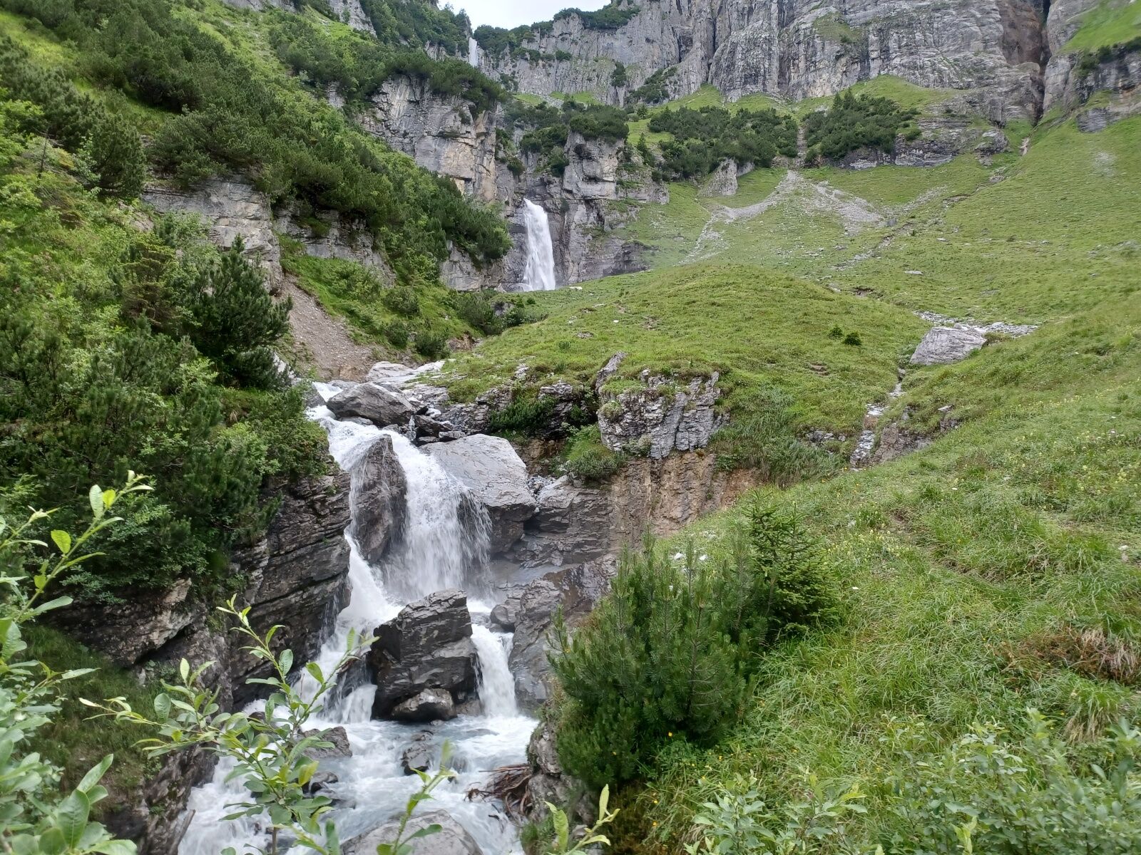
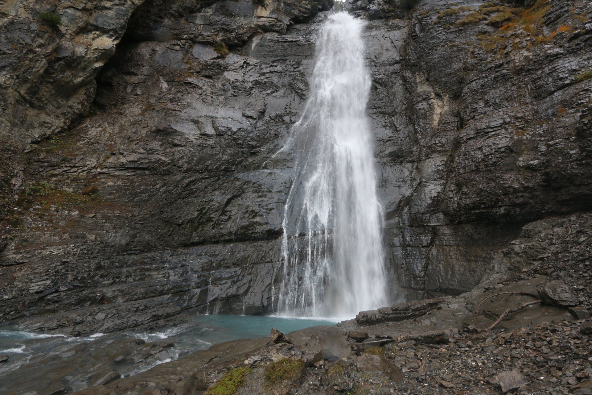
- Waterfalls
- Suworow monument
Two fire pits at Lag da Pigniu
Oblíbené prohlídky v okolí
-
4.5
4-lake hike: Caumasee - Crestasee - Felsbach Gorge
středníTuristika 12.8 km -
4.7
Rhine Gorge Hike: Senda Ruinaulta (659)
světloTuristika 9.39 km -
4.7
The Water Trail: Trutg dil Flem 764
heavyTematická stezka 8.56 km -
4.8
Rheinschlucht: From Ilanz to Versam into the heart of the Rheinschlucht
středníTuristika 11.4 km -
5.0
Caumasee tour: Flims - Caumasee - Conn - Flims
světloTuristika 7.94 km -
5.0
High valley Val Frisal
heavyTuristika 12.4 km -
4.3
Circular hike: Falera-Curnius-Alp Dadens-Falera
středníTuristika 11.4 km -
5.0
Kalktrittli - Nüschentäli - Muttsee - Obersee - Muttenchopf - Mörtel - Limmerensee - Kalktrittli (durch Stollen)
středníTuristika 14.8 km -
3.0
Tour zum Martinsloch
heavyTuristika 3.82 km -
5.0
Circular route: Lake Cauma - Rhine Gorge "Swiss Grand Canyon"
středníTuristika 19.8 km
Pěší turistika a stopování


Nenechte si ujít nabídky a inspiraci pro vaši příští dovolenou
Vaše e-mailová adresa byl přidán do poštovního seznamu.