






Panorama route
Úroveň obtížnosti: T1
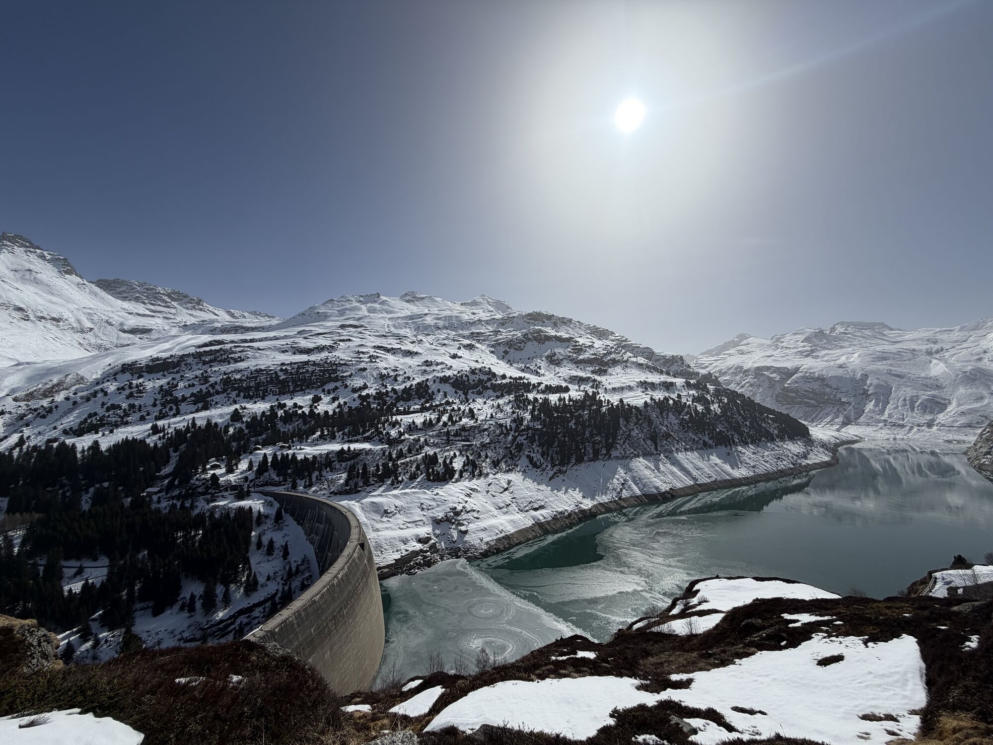
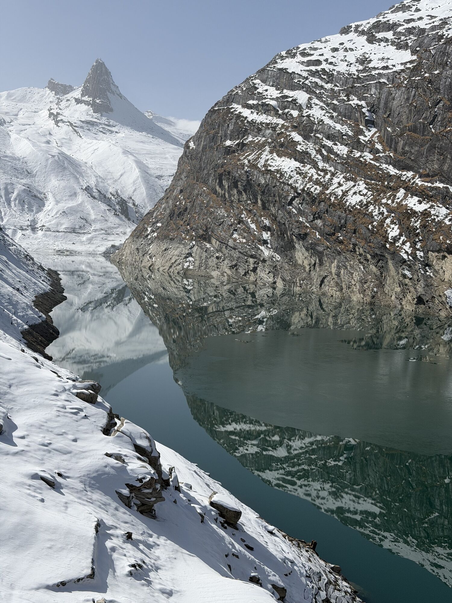
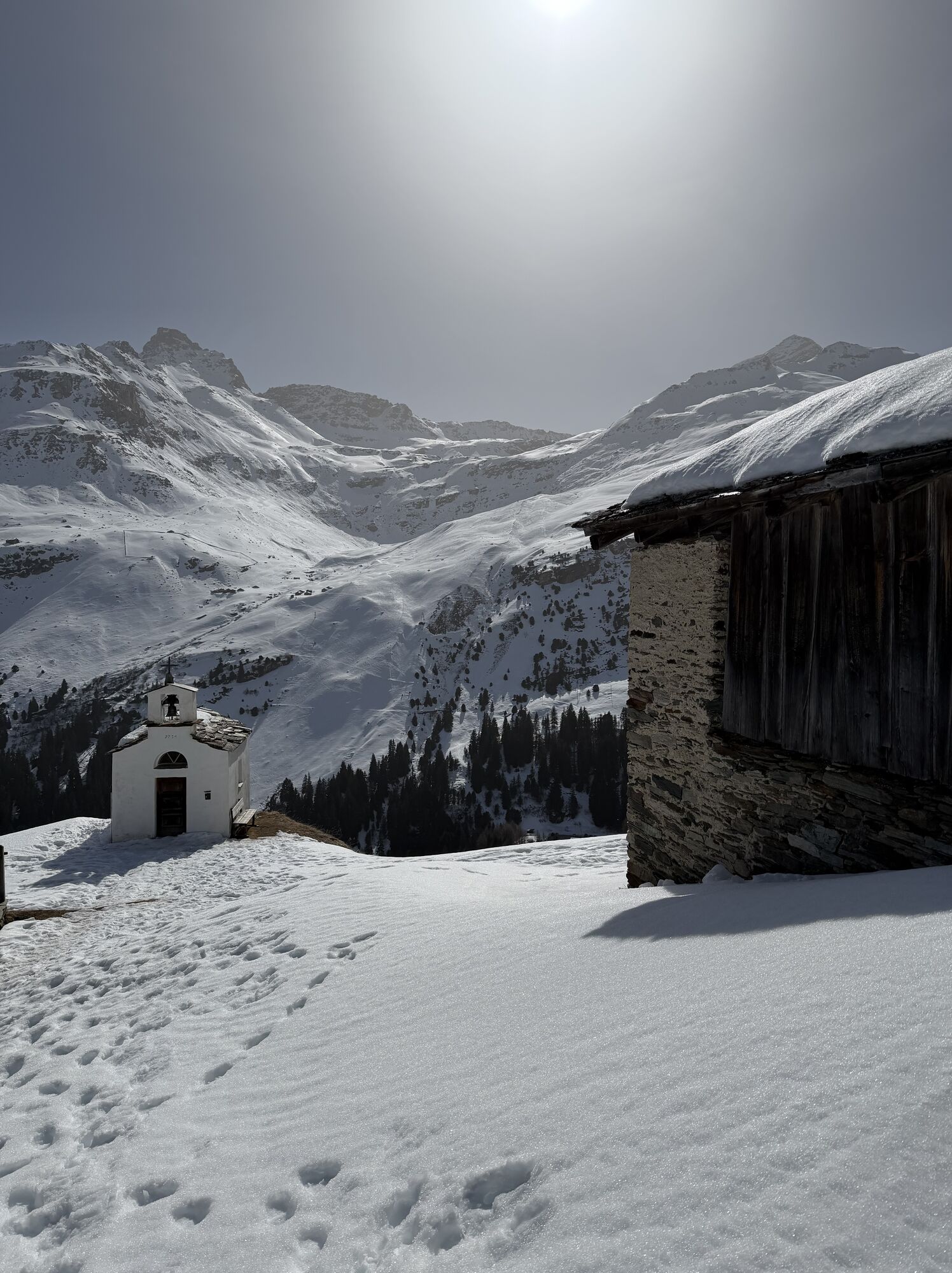
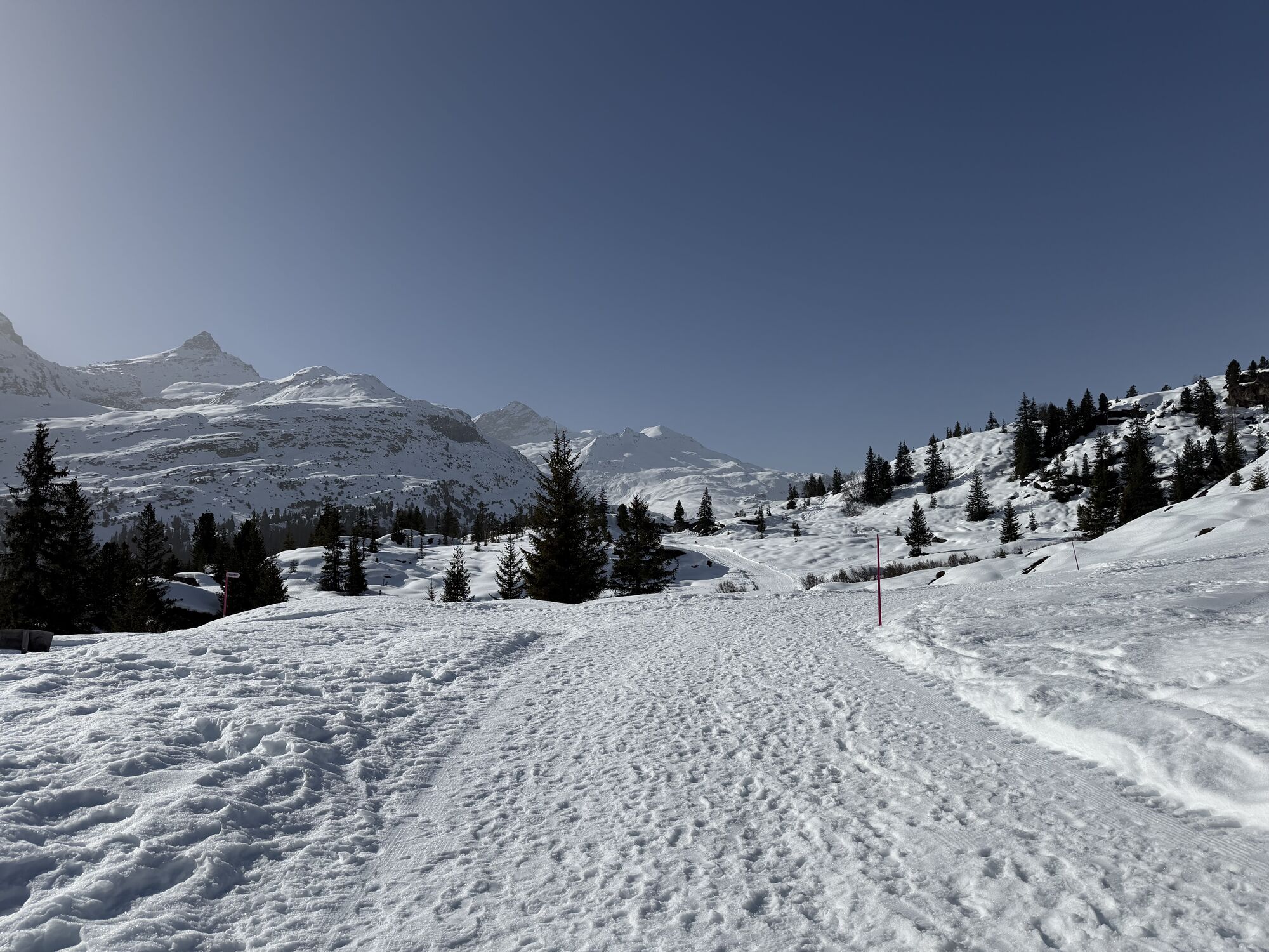
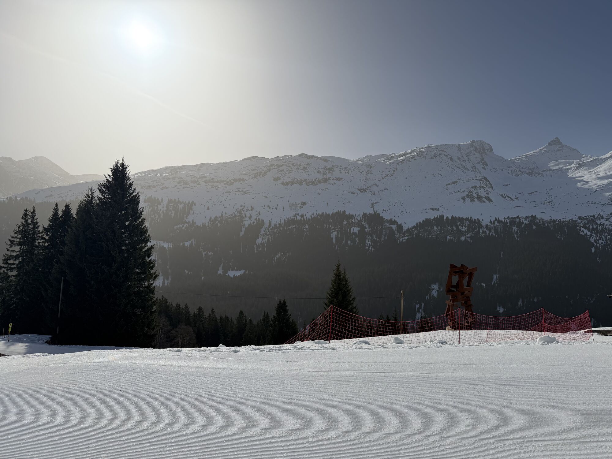
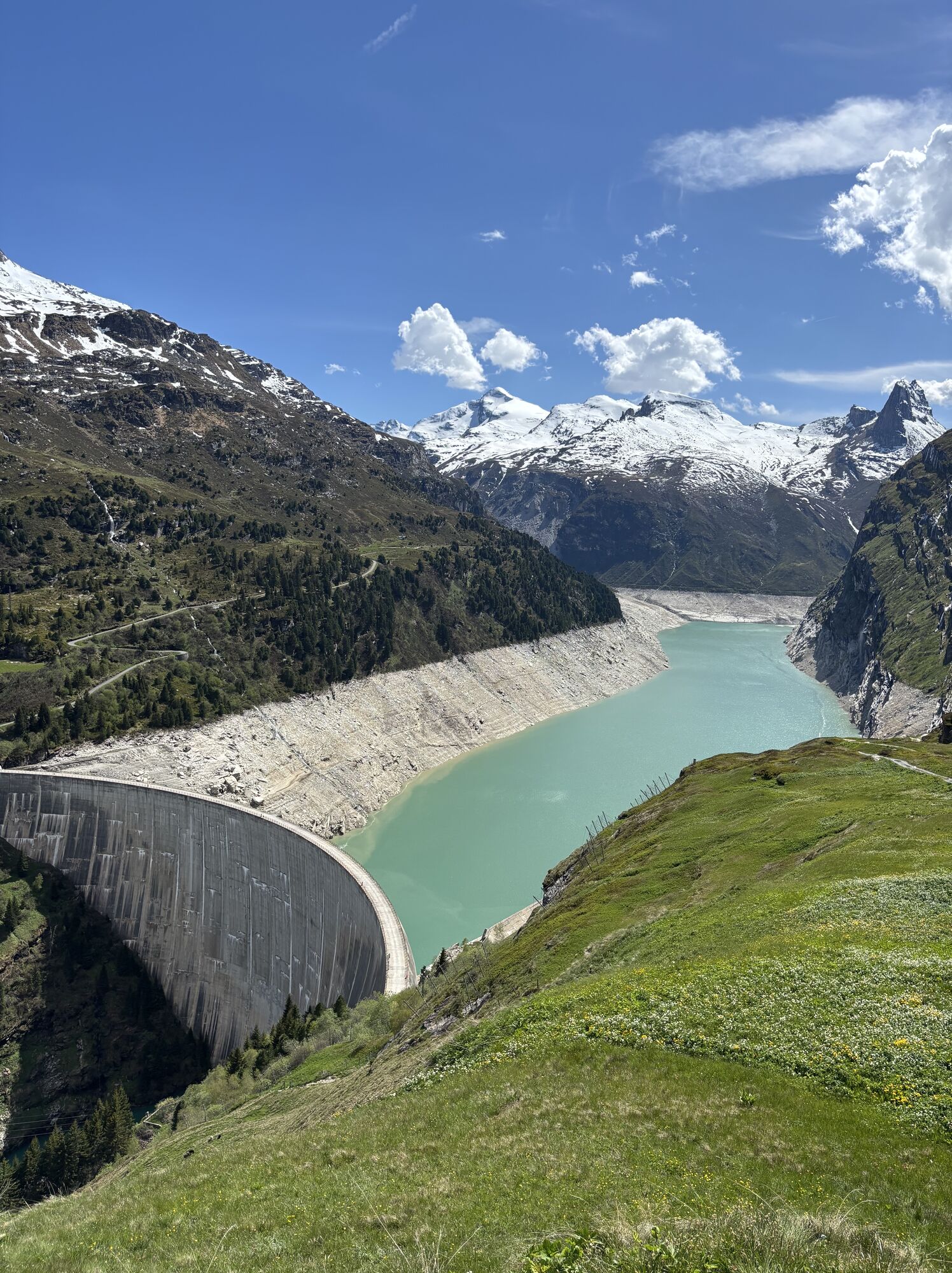
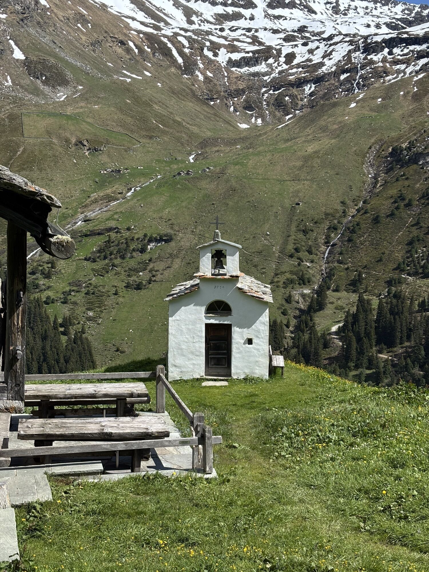
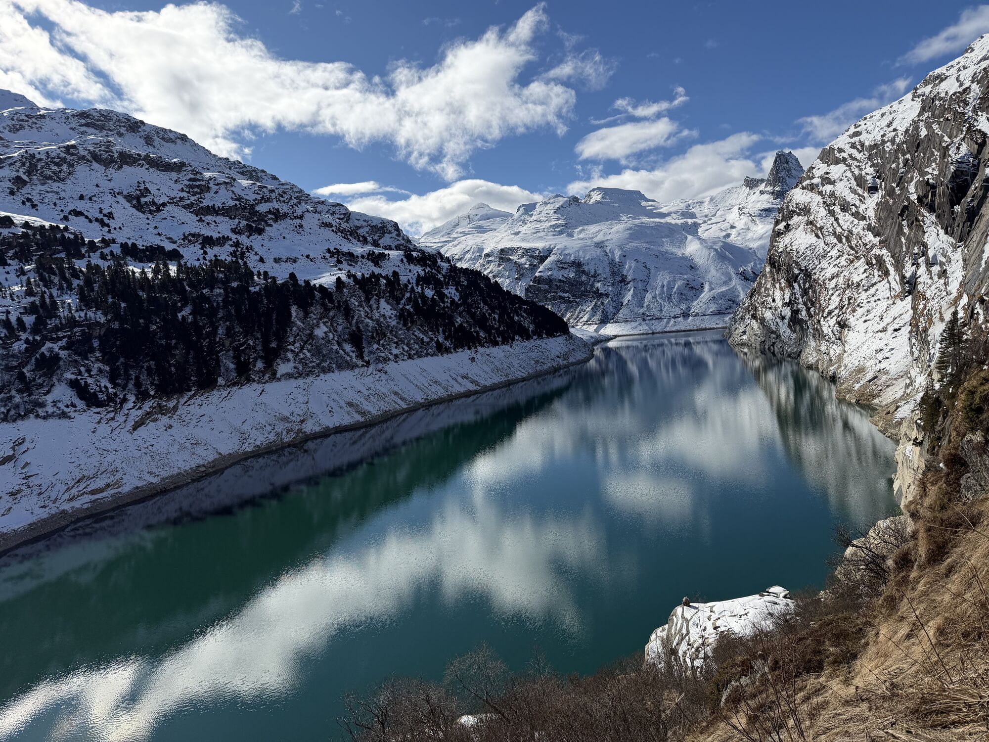
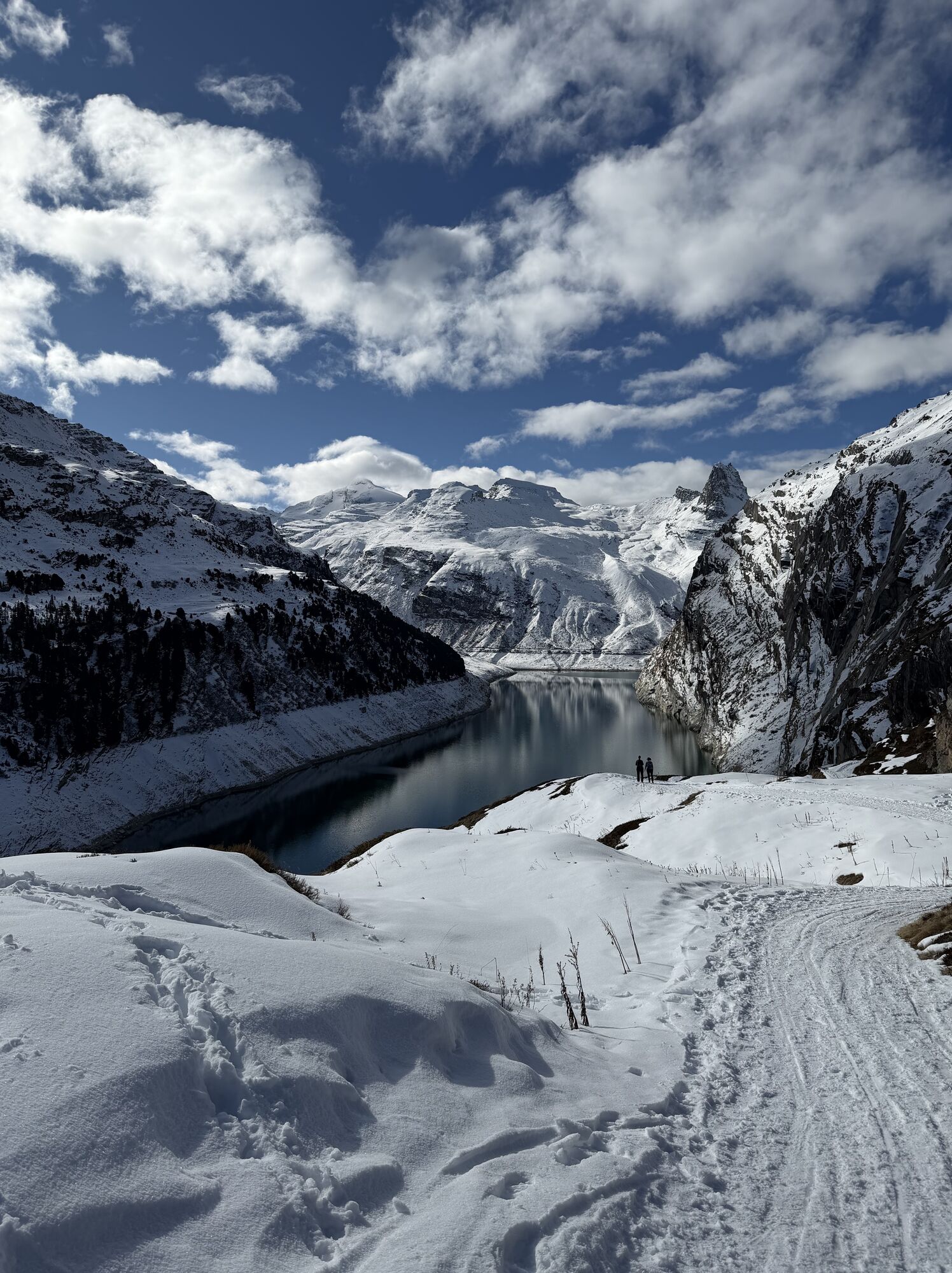
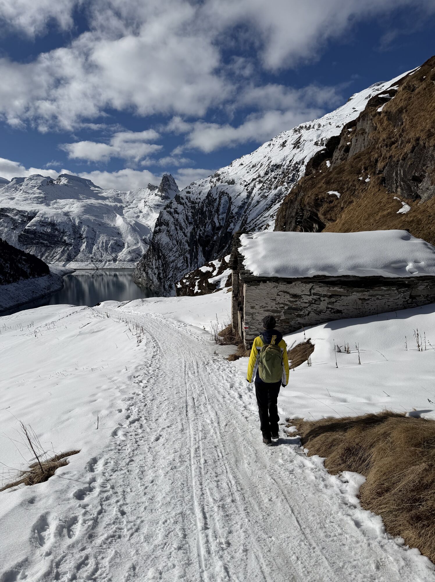
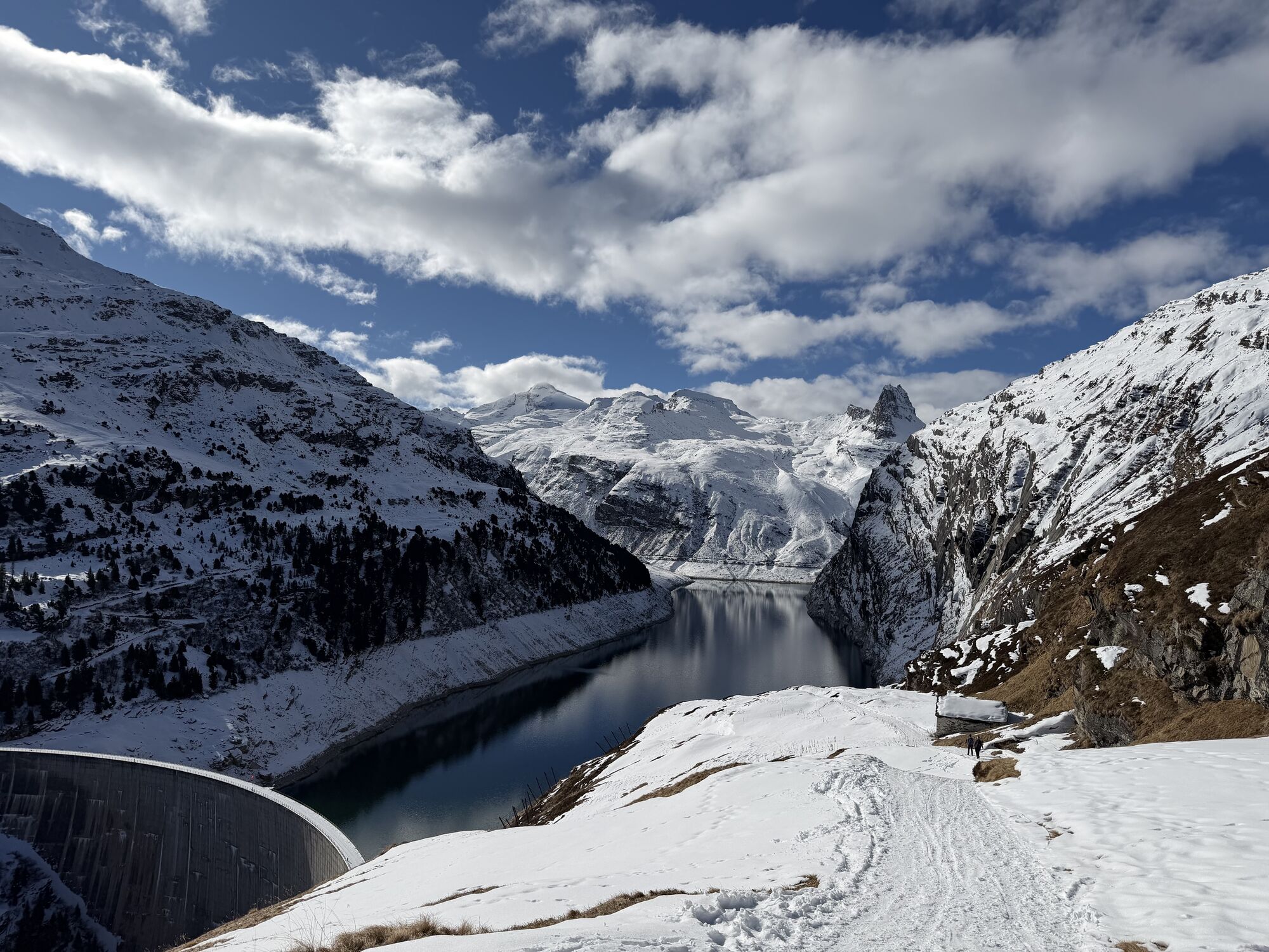
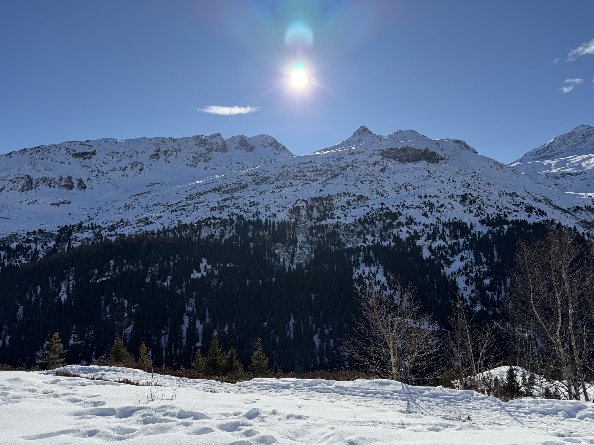
On the route from Gadastatt to Zerfreila, you enjoy the impressive panorama on the opposite side of the valley. You hike through moorland and alpine pastures. Above you is the Dachberg, where skiers and...
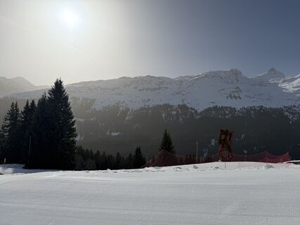
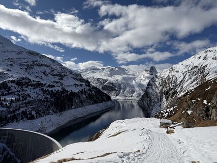
On the route from Gadastatt to Zerfreila, you enjoy the impressive panorama on the opposite side of the valley. You hike through moorland and alpine pastures. Above you is the Dachberg, where skiers and freeriders find optimal conditions in the winter months. In Frunt (1990 m) at the front on a rock face is the St. Anna Chapel built in 1754. From here, the Zerfreila reservoir can be overlooked. At the rear above the lake towers the 2821-meter-high Zerfreilahorn ("Bündner Matterhorn").

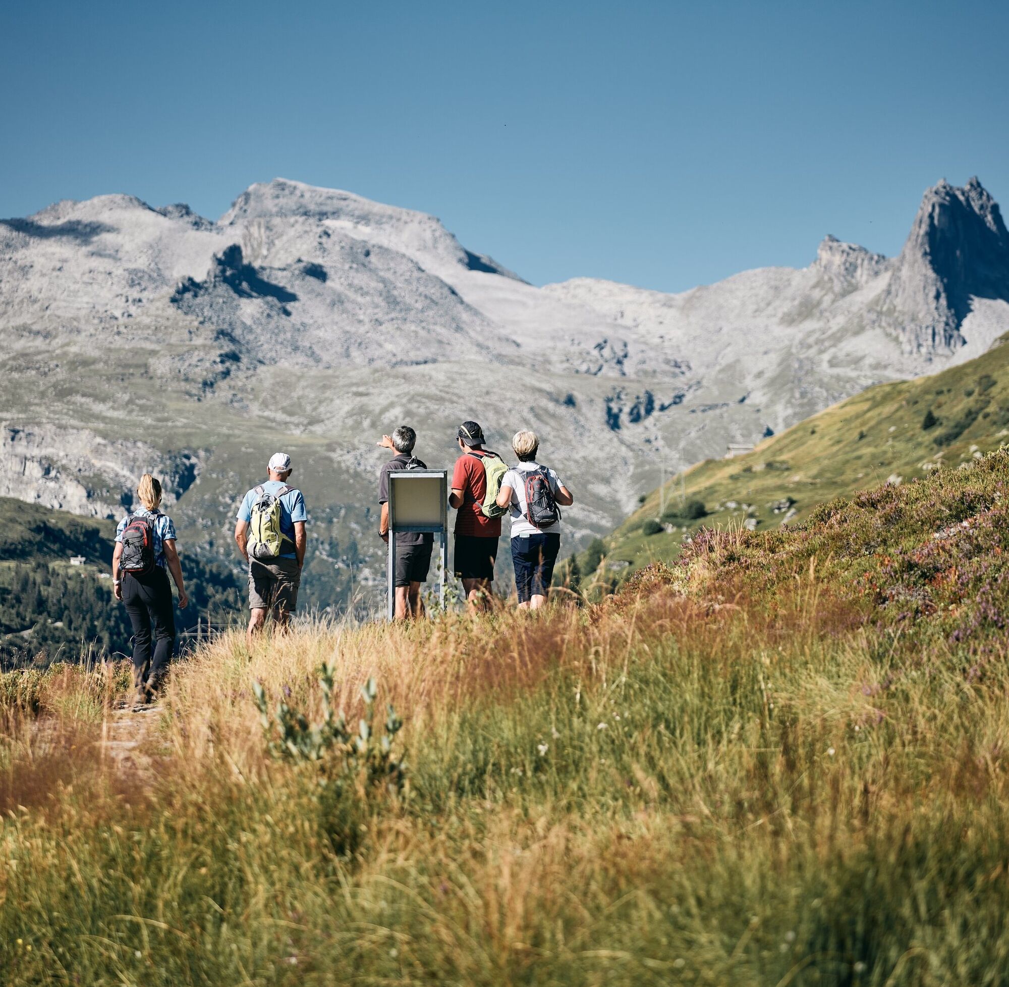
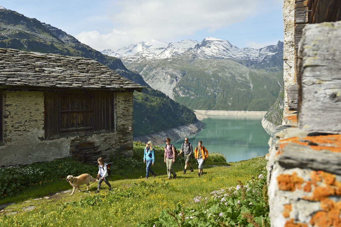
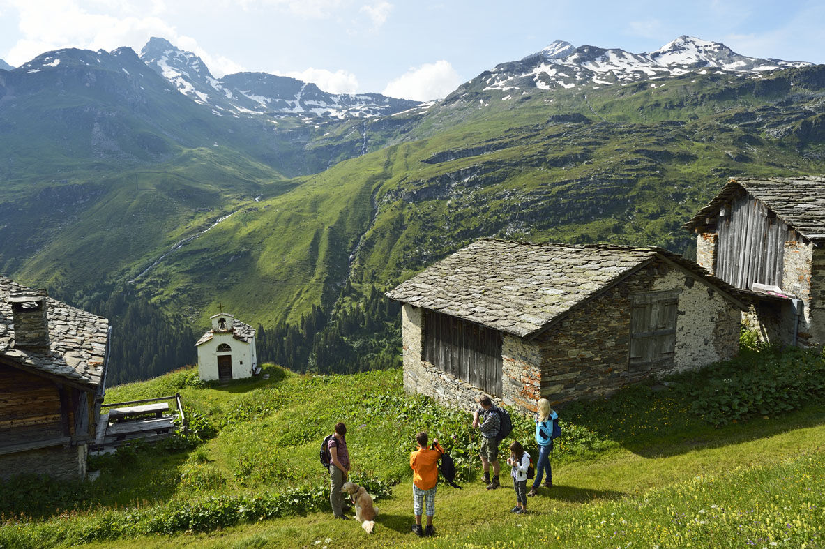
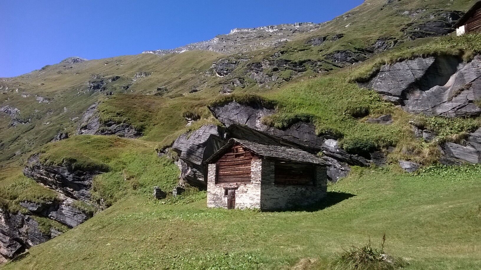
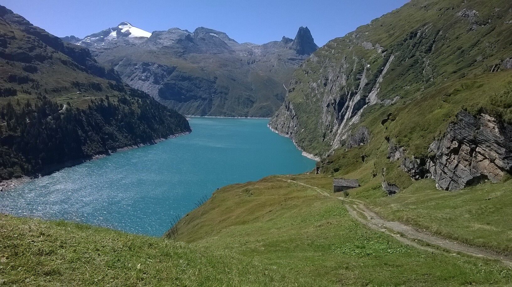

The path from Gadastatt to Zerfreila leads through the protected moorland near the Kristallloch. Along the way, you will find beautifully located benches and walk past small mountain streams. After gentle ascents and slopes up to Frunt, a short, steep descent follows to the Zerfreila dam. You cross the dam and follow the road to the parking lot of the Zervreila restaurant.
Ano
Ano
Solid, rainproof, warm clothing. Hiking boots. Sun protection. Hiking poles. Mobile phone.
Easy hike.
Detailed information on behavior: https://www.wandern.ch/de/wandern/sicher-unterwegs/mutterkuhherden
Via Chur-Ilanz to Vals.
To Vals (Bergbahn stop) by PostAuto from Ilanz.
To reach the starting point of the hike, you can take the Valser Bähnli to Gadastatt. Duration of the trip approx. 8 minutes.
Cable car timetable: https://vals.ch/planen-und-buchen/bergbahn-imsommer/
Cable car parking lot is subject to charge: CHF 5 / day.
T1
Cable car timetable: https://vals.ch/planen-und-buchen/bergbahn-imsommer/
Please note the lunch break from 12 to 13:30! The ride with the cable car is free for everyone.
Food along the way:
At the starting point of the hike, you can enjoy the beautiful view from the sun terrace of the Panorama Restaurant Gadastatt and strengthen yourself for the upcoming hike.
After arriving in Zerfreila, you can regain strength with a refreshing drink and a piece of blueberry cake (specialty) at the Zervreila restaurant.
Return trip: There are various options to cover the approximately 8 km route back to Vals: by PostBus (from mid-June to mid-October) or by scooter. Another option: on foot via the old Zerfreila path through Kippi-Chäscherli to Vals village (plus 2 hours 30 minutes walking time). In winter, conditions permitting, by sled. Scooters or sleds can be rented at the Zervreila restaurant.
 Získejte přehled
Vždy živě na místě s více než 9 500 webkamerami. bergfex Jako uživatel Pro si nyní můžete zobrazit odpovídající webové kamery pro mnoho prohlídek v aplikaci prohlídky z. Můžete si tak přímo prohlédnout aktuální podmínky.
Získejte přehled
Vždy živě na místě s více než 9 500 webkamerami. bergfex Jako uživatel Pro si nyní můžete zobrazit odpovídající webové kamery pro mnoho prohlídek v aplikaci prohlídky z. Můžete si tak přímo prohlédnout aktuální podmínky.

Oblíbené prohlídky v okolí
-
5.0
Hiking route Suspension Bridge Val da Tersnaus
středníTuristika 3.24 km -
Giro della Greina
Turistika 50.6 km -
3.3
3-lake hike
středníTuristika 12.8 km -
5.0
Winter hike Gadastatt - Frunt - Zerfreila (Panorama trail)
světloZimní turistika 5.36 km -
5.0
2-day hike Greina high plateau
středníTuristika 14.9 km -
5.0
Southeast Switzerland Hiking Day Vals 2017
světloTuristika 11.8 km -
Piz Terri, 3.149 m
středníVysokohorská turistika 6.92 km -
5.0
Hike Vrin - Uors over the suspension bridge Val da Silgin
středníTuristika 12.3 km -
3.5
Places of Magic - Lumbrein
středníTuristika 8.74 km -
Furggelti 2712m
heavyTuristika 18.7 km

Pěší turistika a stopování


Nenechte si ujít nabídky a inspiraci pro vaši příští dovolenou
Vaše e-mailová adresa byl přidán do poštovního seznamu.





