




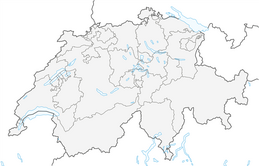


Winter hiking trail Furna Güfer
Úroveň obtížnosti: 1
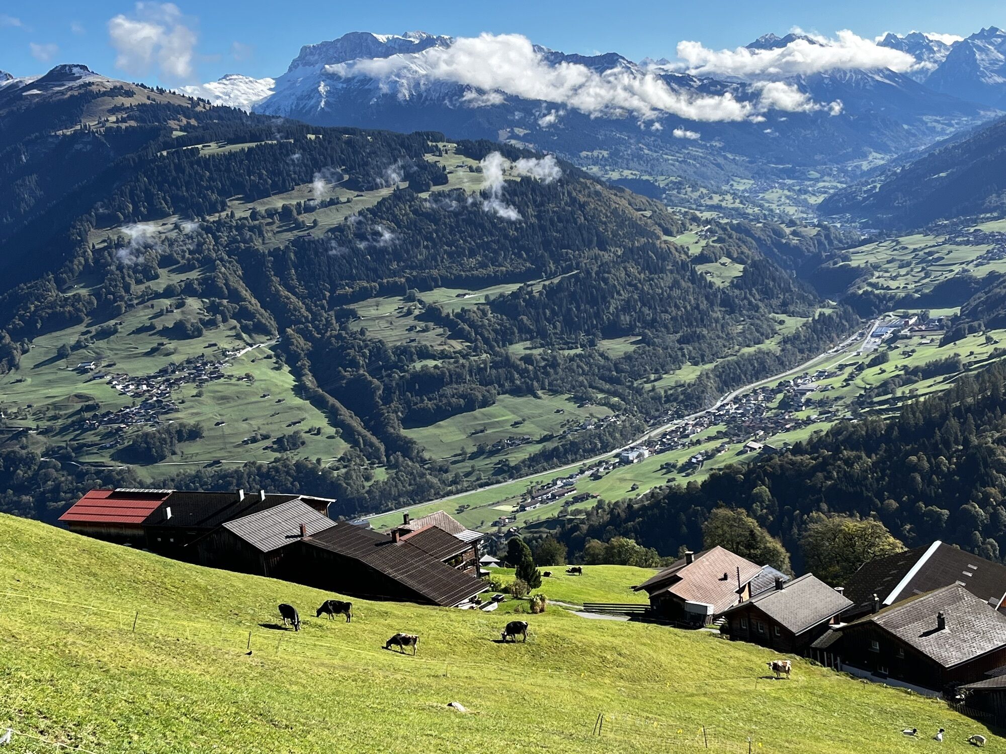
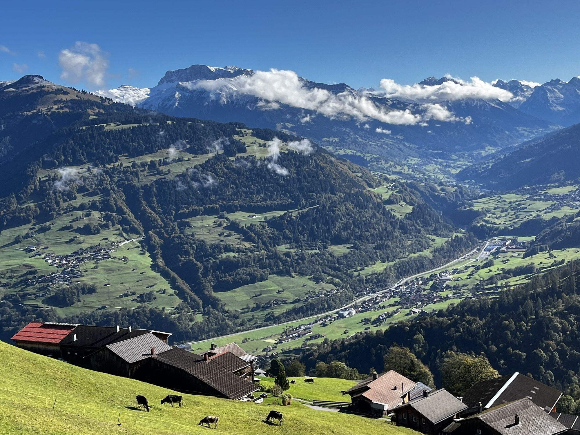
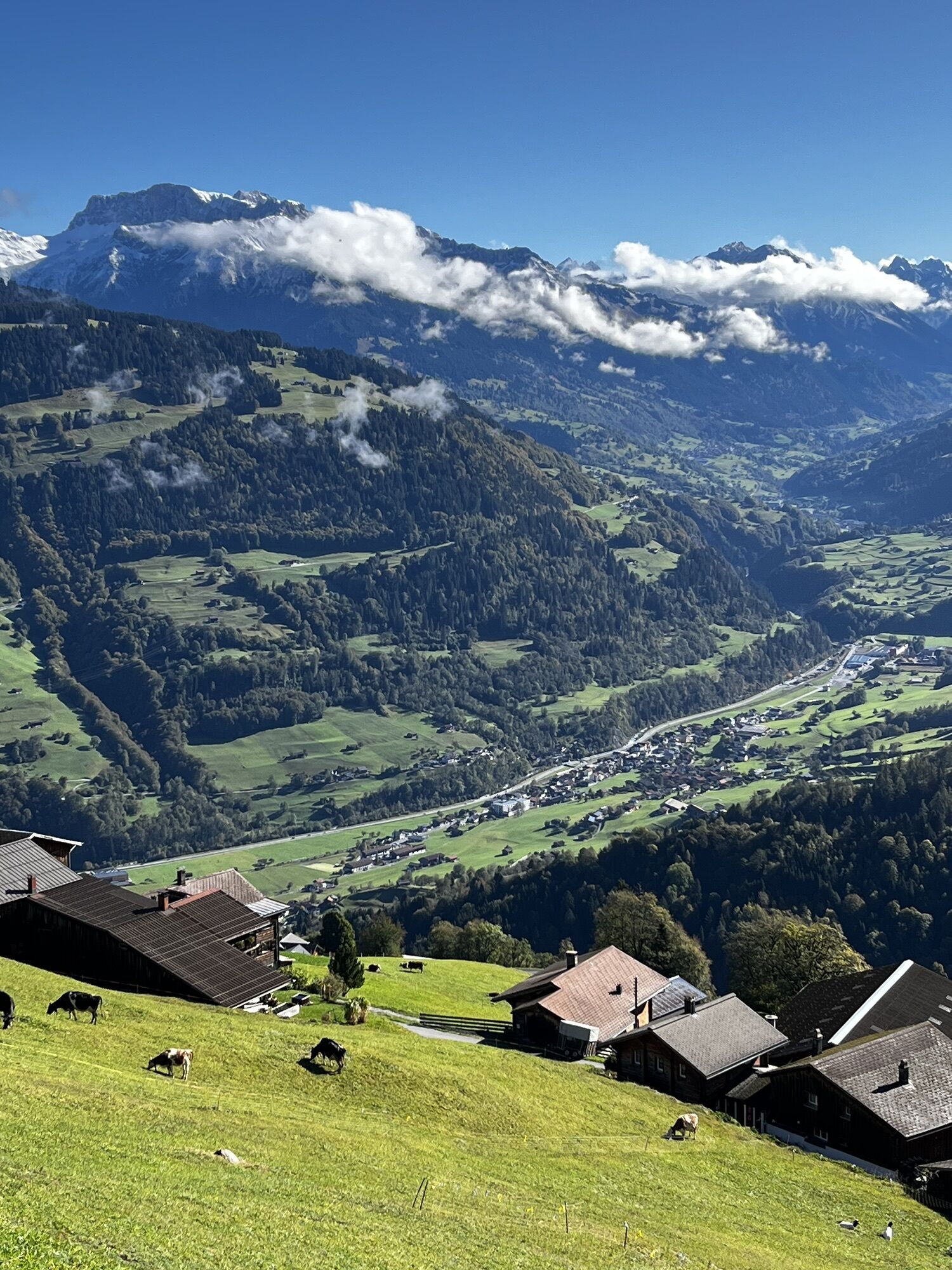
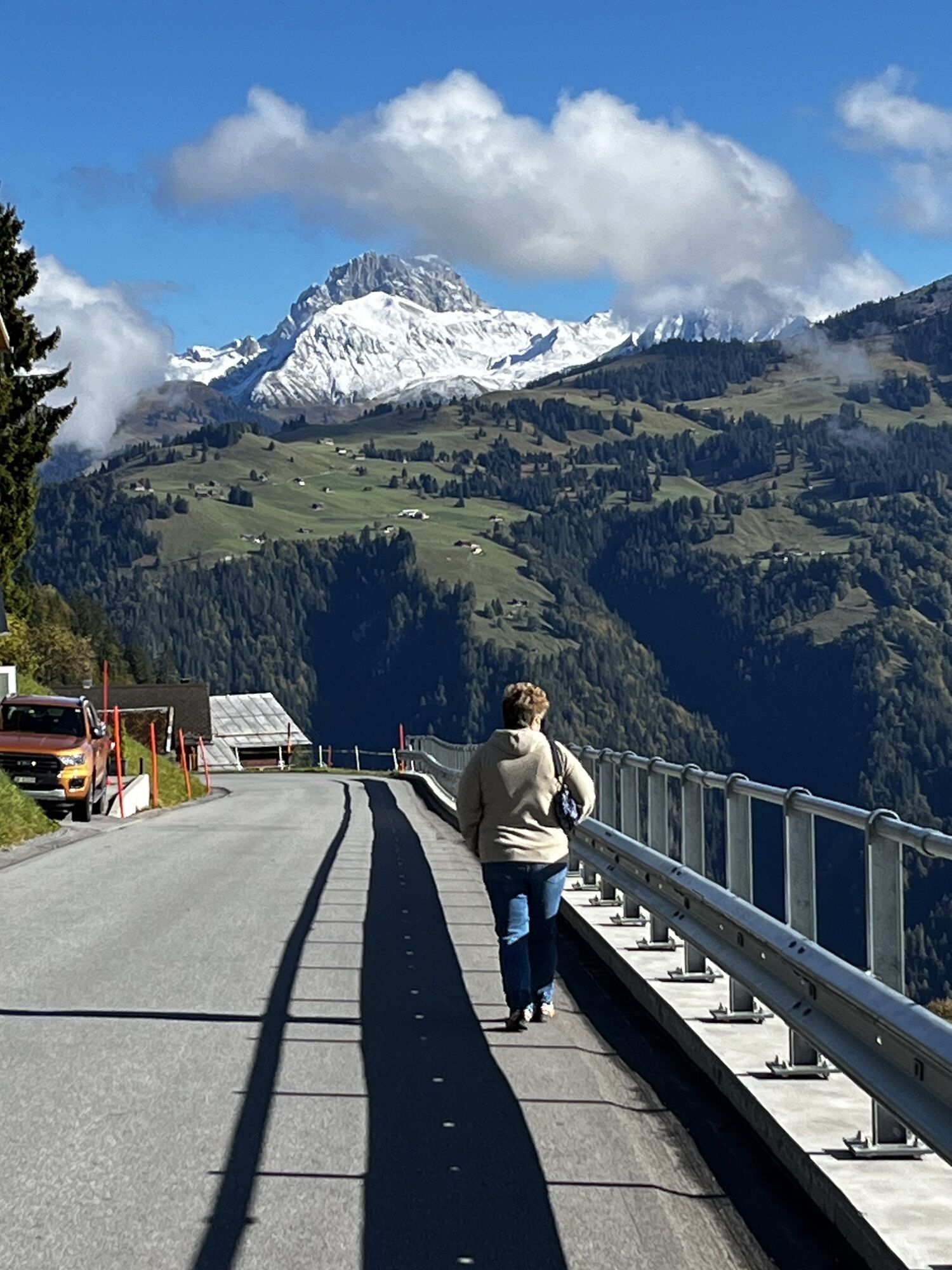
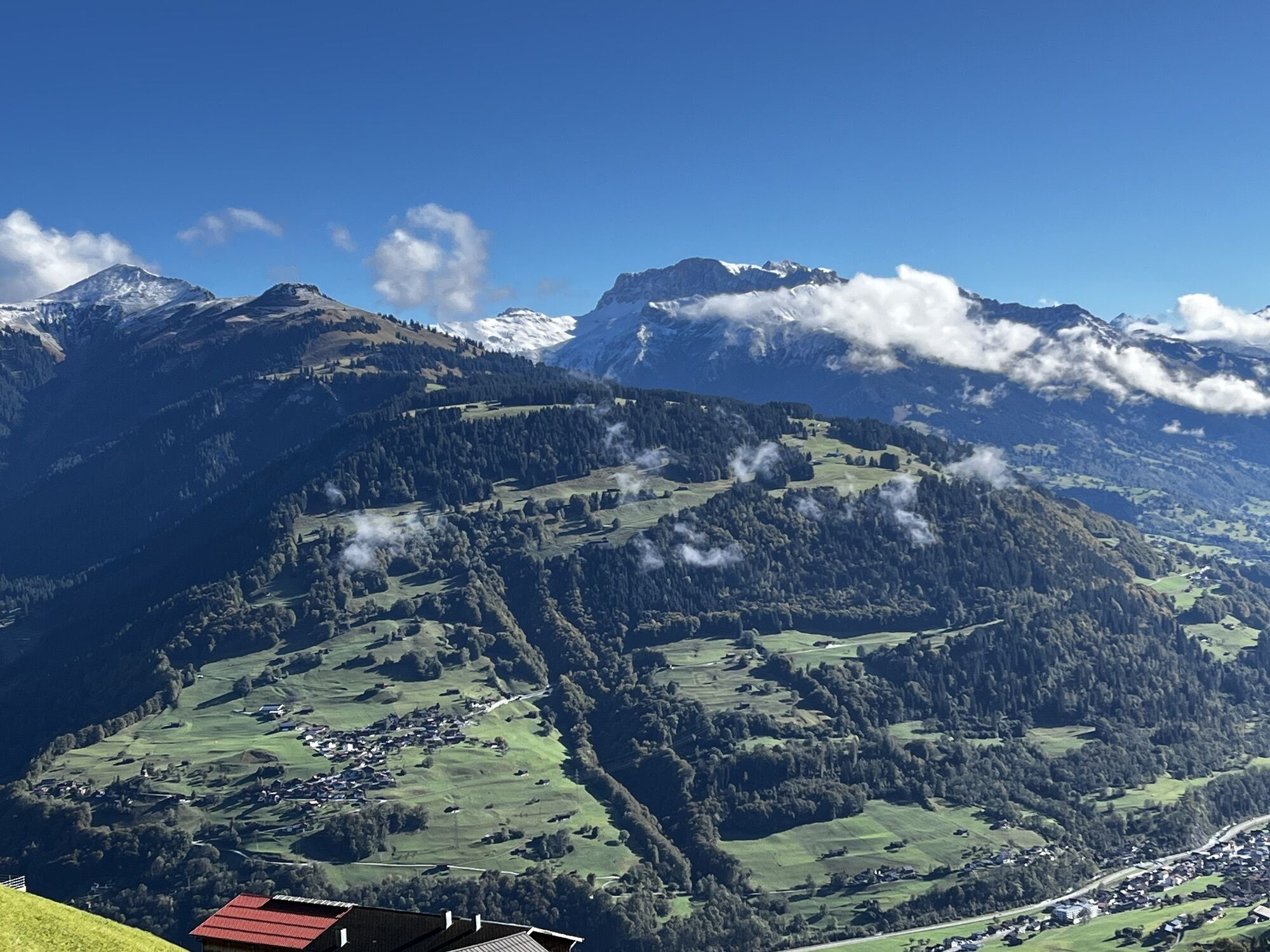
The Güfer winter hiking trail is located in predominantly ascending terrain between Furna village and the Furnerberg (Danusa area). The approx. 400 meters of elevation difference between Furna and the...
The Güfer winter hiking trail is located in predominantly ascending terrain between Furna village and the Furnerberg (Danusa area). The approx. 400 meters of elevation difference between Furna and the Güfer require some fitness but can be managed without problems with sufficient time reserves.
Rest stops are available on the bench at the «Rüäfä» with views over the Prättigau to Klosters, or at the «Güfer» with views of the Rätikon mountain range.

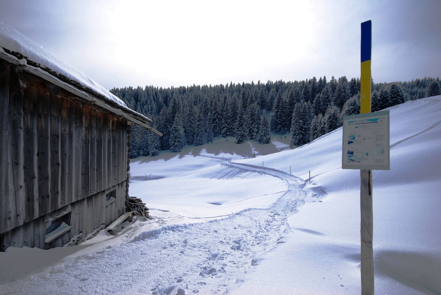
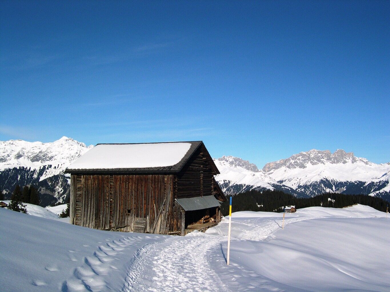
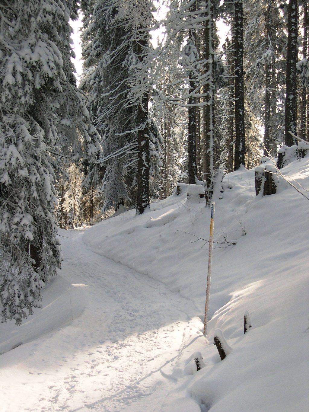
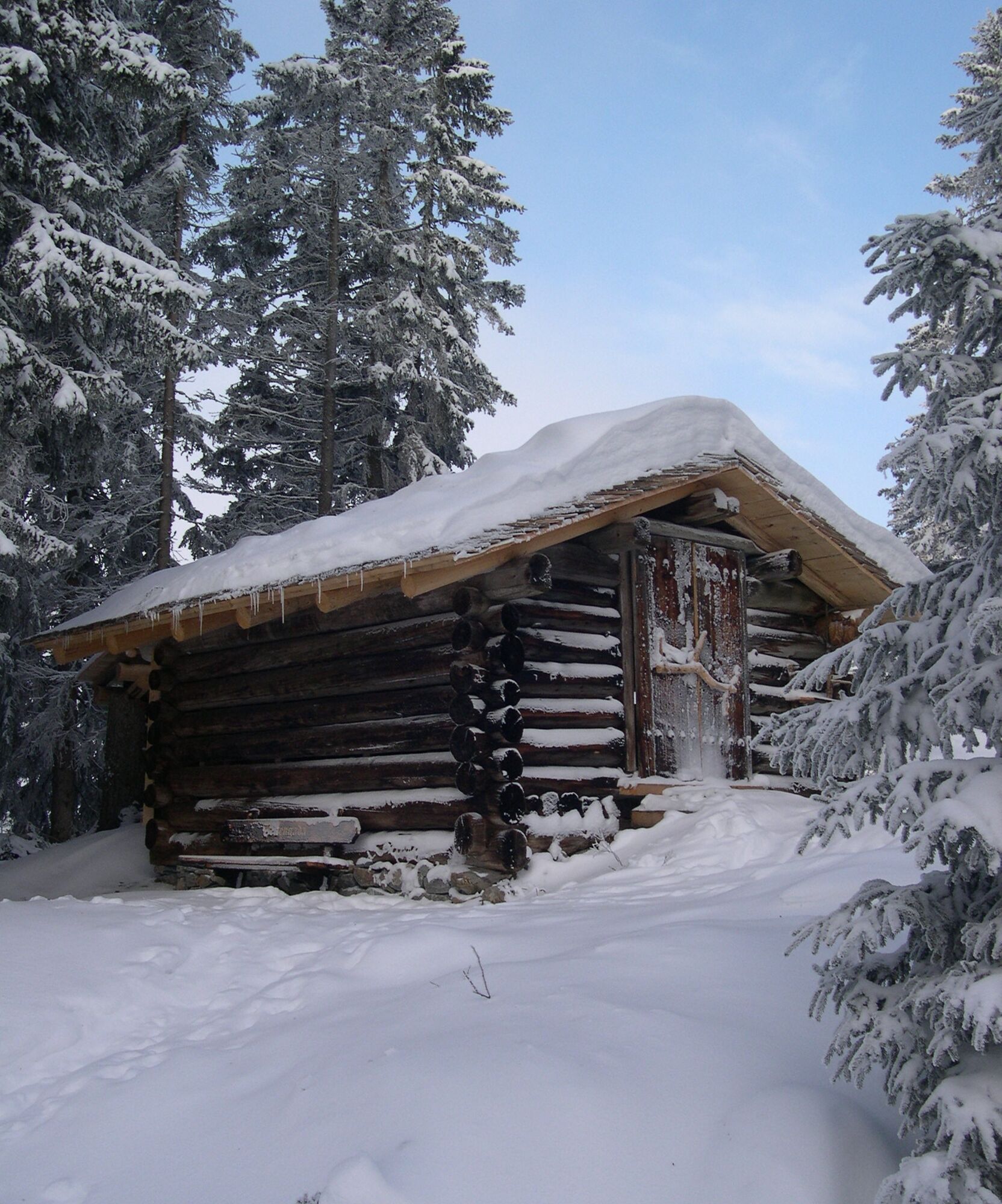
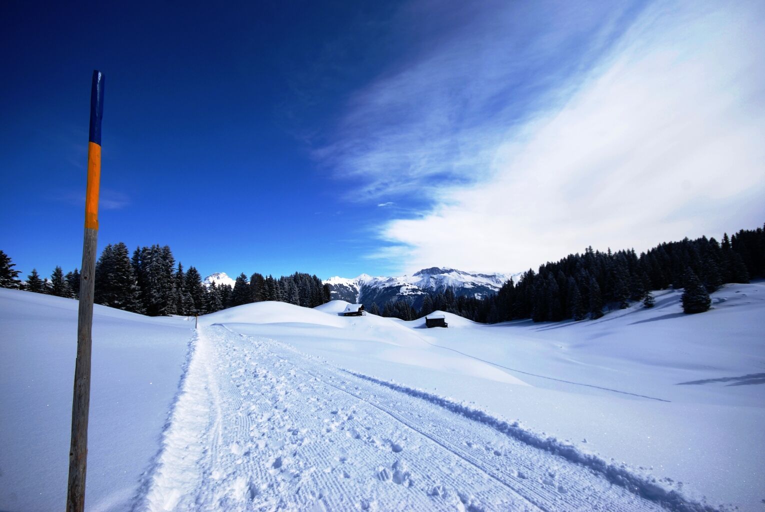
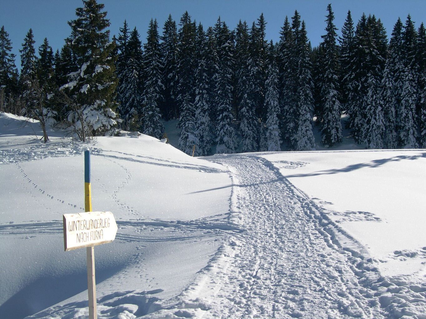
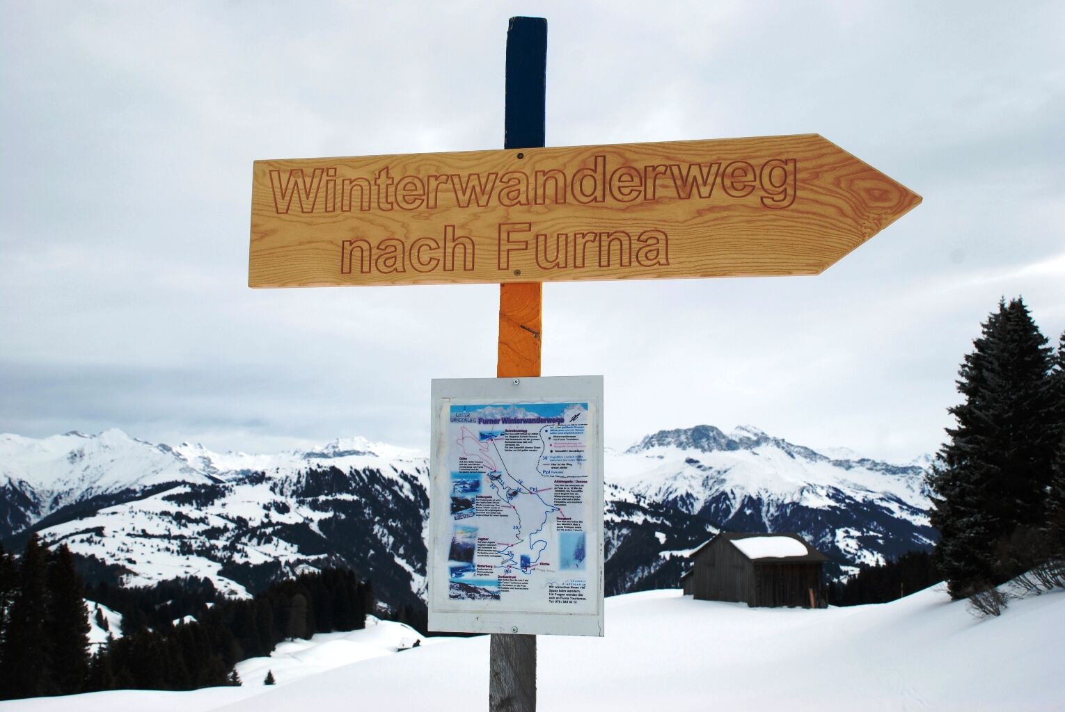

In the village center, 50 meters past the village shop, follow the signpost for the winter hiking trail about 1 km uphill until the cleared road ends at the «Jagmer». From there, proceed along the groomed hiking trail first in the open, then through forested terrain. About 100 meters past the «Heitengaden» (small stable by the path, see picture), there is a fork in the trail. Take the left path and follow it to the «Güfer». There turn right and walk downhill to the «Hof». Turn right again and follow the path back to the fork at the «Heitengaden». From there, follow the ascent path back down to the village.
Ano
Good footwear, food and drink.
In spring, the path in the moss area above the «Heitengaden» thaws from below, which can lead to collapses of the path during strong heat.
Take the A13 and A28 to Pragg-Jenaz. Follow the signposts towards Furna.
Free parking is available in the village center near the village shop.
1
Prättigau Marketing
Feldweg 19
CH-7233 Jenaz
Tel. +41 (0)81 325 11 11
info@praettigau.info
www.praettigau.info
On a weekend evening, enjoy the view from the «Rüäfä» of the chain of lights from the cars driving through the Prättigau. Even a traffic jam has its beautiful side.
Webové kamery z prohlídky
Získejte přehled Vždy živě na místě s více než 9 500 webkamerami. bergfex Jako uživatel Pro si nyní můžete zobrazit odpovídající webové kamery pro mnoho prohlídek v aplikaci prohlídky z. Můžete si tak přímo prohlédnout aktuální podmínky. Oblíbené prohlídky v okolí
- 4.8
Douglashütte - Schesaplana
středníTuristika 7.31 km - 4.9
Douglasshütte, Lünersee, Gafalljoch Brand bei Bludenz, Vorarlberg
světloTuristika 9.16 km - 4.8
Schesaplana
středníVysokohorská turistika 5.26 km - 4.7
Tamina Gorge Circular Route
středníTuristika 14.0 km - 4.6
Pizalun circular route
světloTuristika 7.18 km - 5.0
Around the Kirchlispitzen (2,552 m)
heavyTuristika 14.8 km - 4.7
Off to the Falknis
heavyTuristika 18.2 km - 5.0
Lünersee - Schesaplana - Brand 2 Tages Tour Optional mit Zelt
heavyTuristika 20.2 km - 4.5
Lünerseebahn Bergstation - Lünersee Alpe - Douglasshütte
středníTrailrunning 6.10 km - 4.7
From Malbun (FL) to Nenzinger Himmel (AT)
heavyTuristika 18.5 km
Pěší turistika a stopování


Nenechte si ujít nabídky a inspiraci pro vaši příští dovolenou
Vaše e-mailová adresa byl přidán do poštovního seznamu.





