


Sils - Lej Nair - Piz Grevasalvas - Sils
Fotografie našich uživatelů
-

 © Grzegorz KornackiVytvořeno dne 05.08.2025
 -
 © Grzegorz KornackiVytvořeno dne 05.08.2025
 -
 © Grzegorz KornackiVytvořeno dne 05.08.2025
 -
 © Grzegorz KornackiVytvořeno dne 05.08.2025
 -
 © Grzegorz KornackiVytvořeno dne 05.08.2025
 -
 © Grzegorz KornackiVytvořeno dne 05.08.2025
 -
 © Grzegorz KornackiVytvořeno dne 05.08.2025
 -
 © Grzegorz KornackiVytvořeno dne 05.08.2025
 -
 © Grzegorz KornackiVytvořeno dne 05.08.2025
 -
 © Aurelian BöhlerVytvořeno dne 20.07.2025


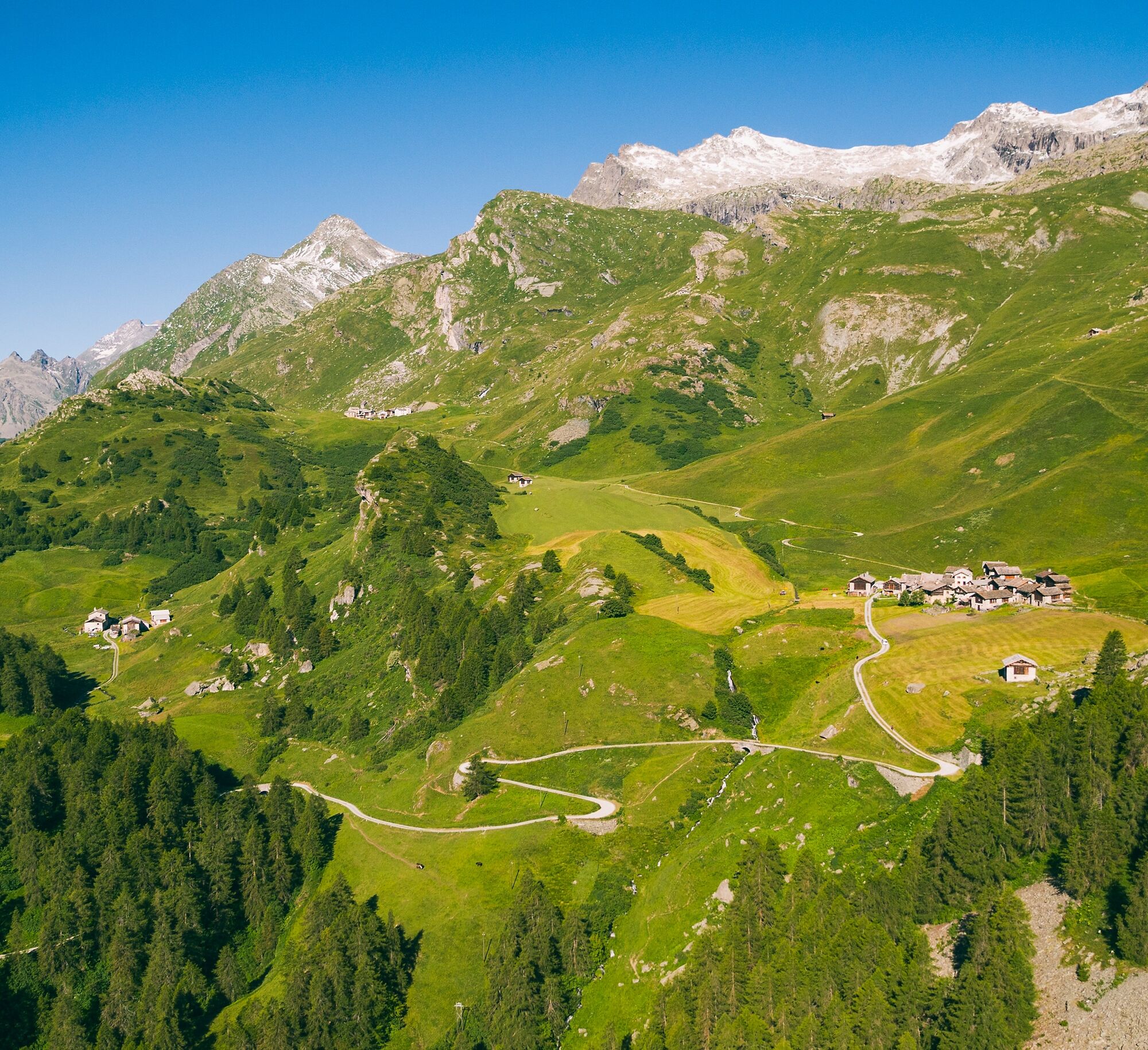
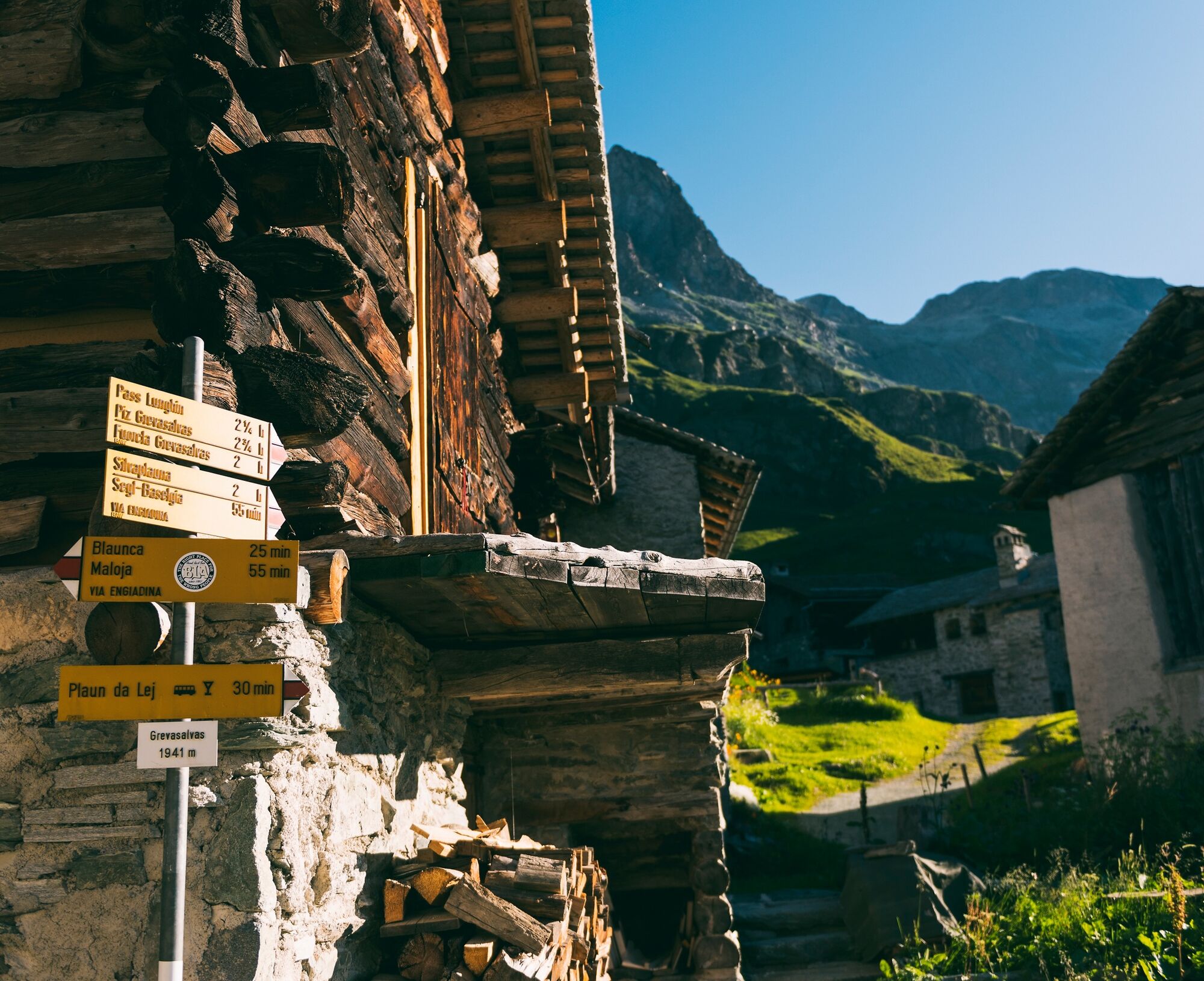
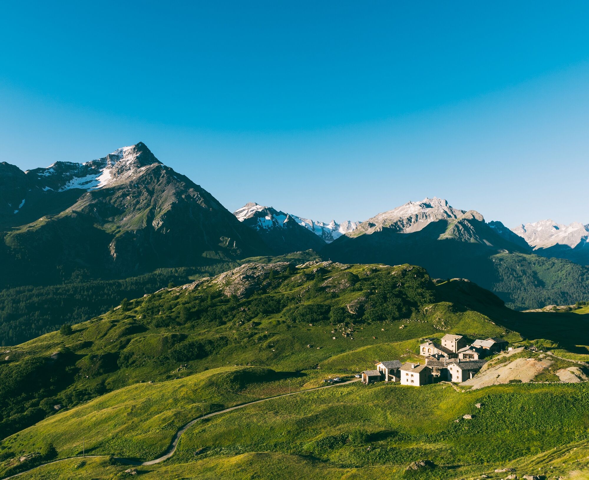
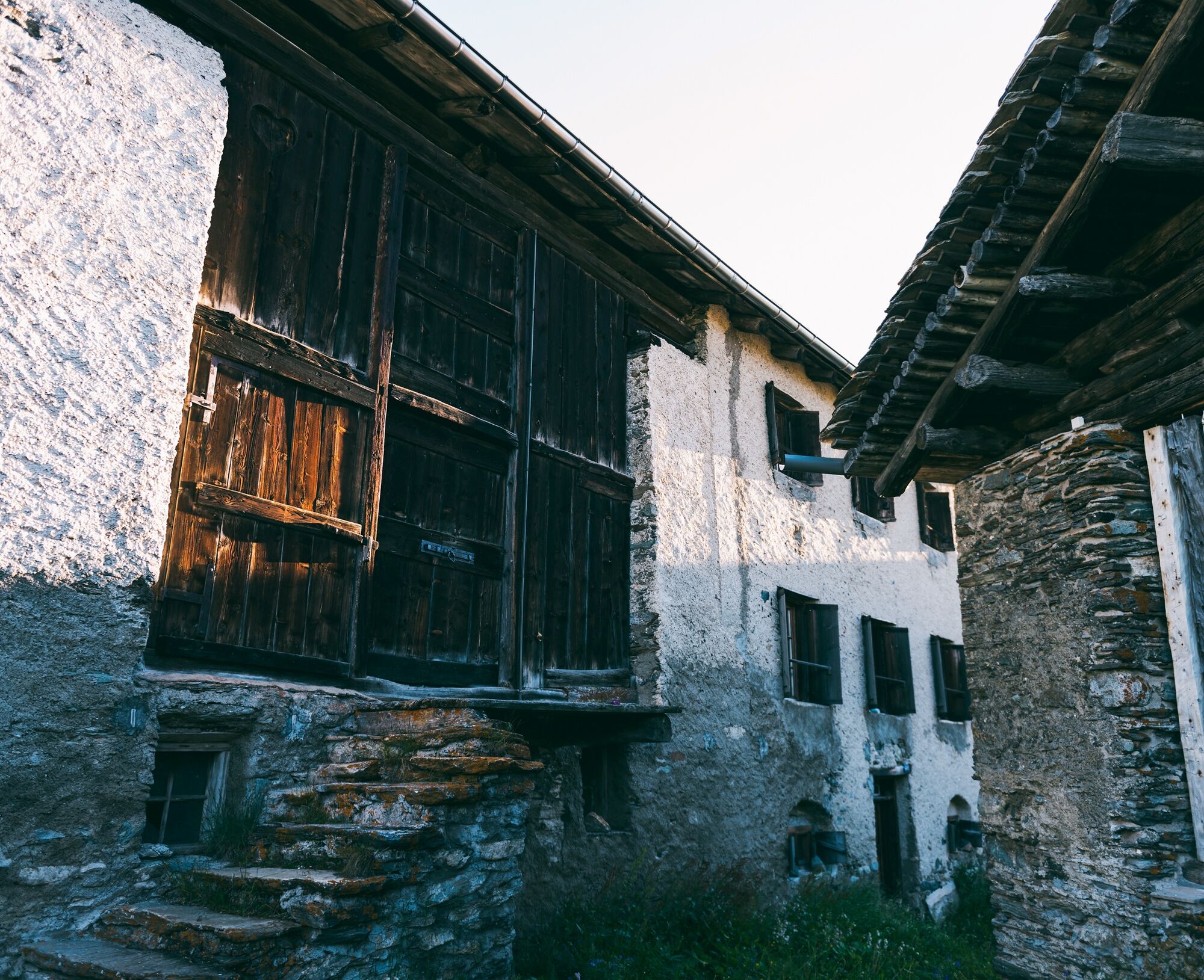
Already during the leisurely start on the Via Engiadina from Sils Baselgia to Grevasalvas, you are spoiled with a spectacular view of Lake Sils. Above the Heidi village Grevasalvas, which was the filming...
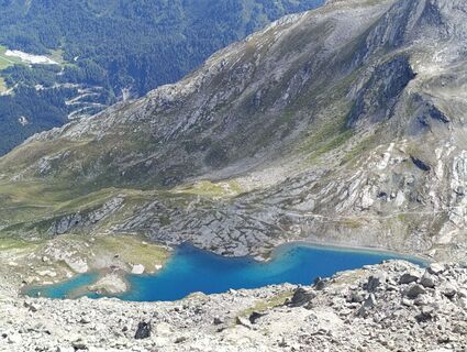
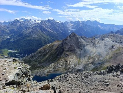
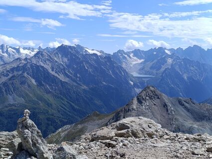
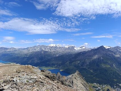
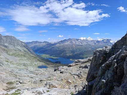
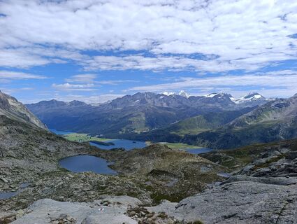
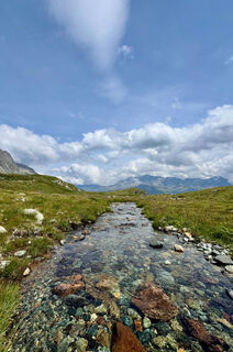
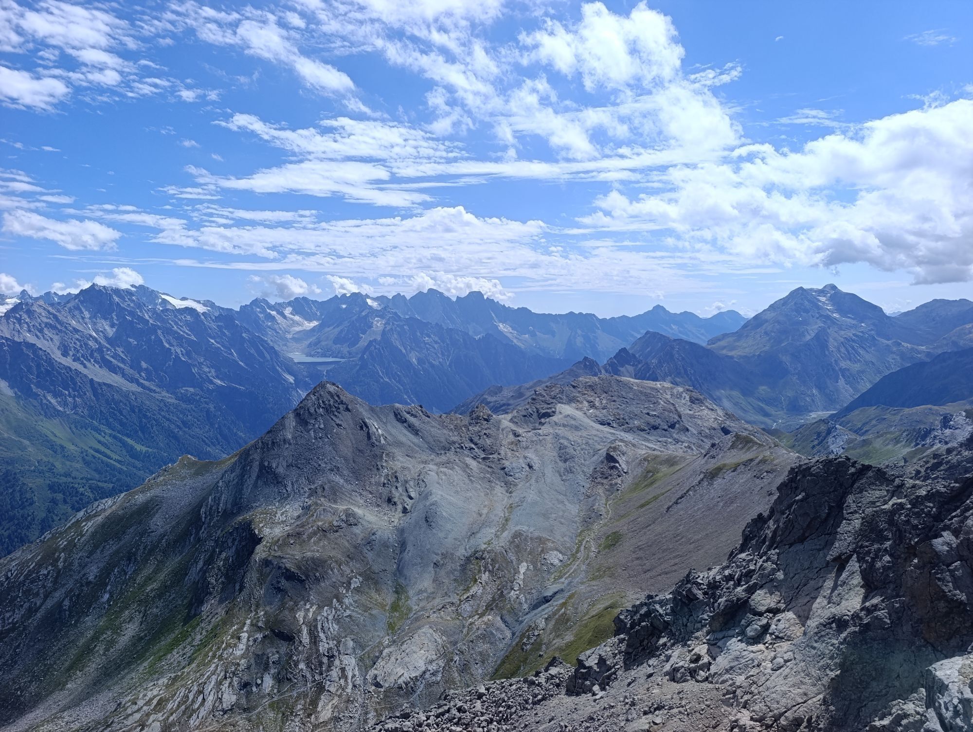
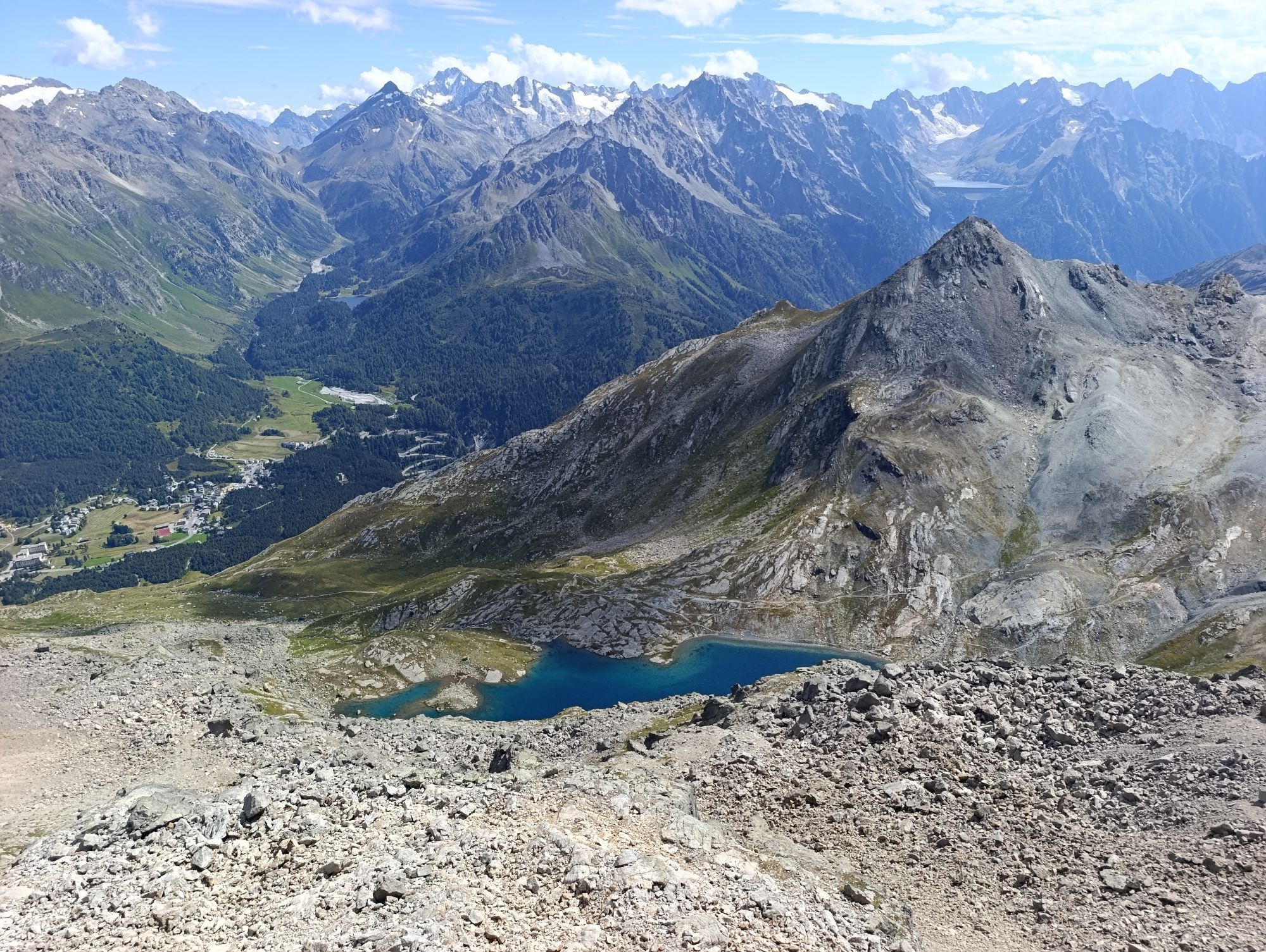
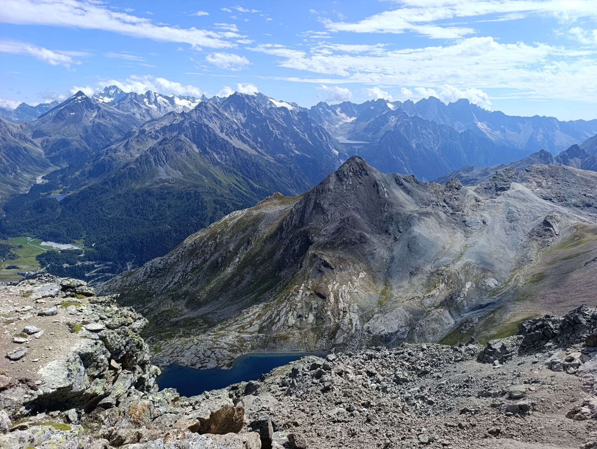
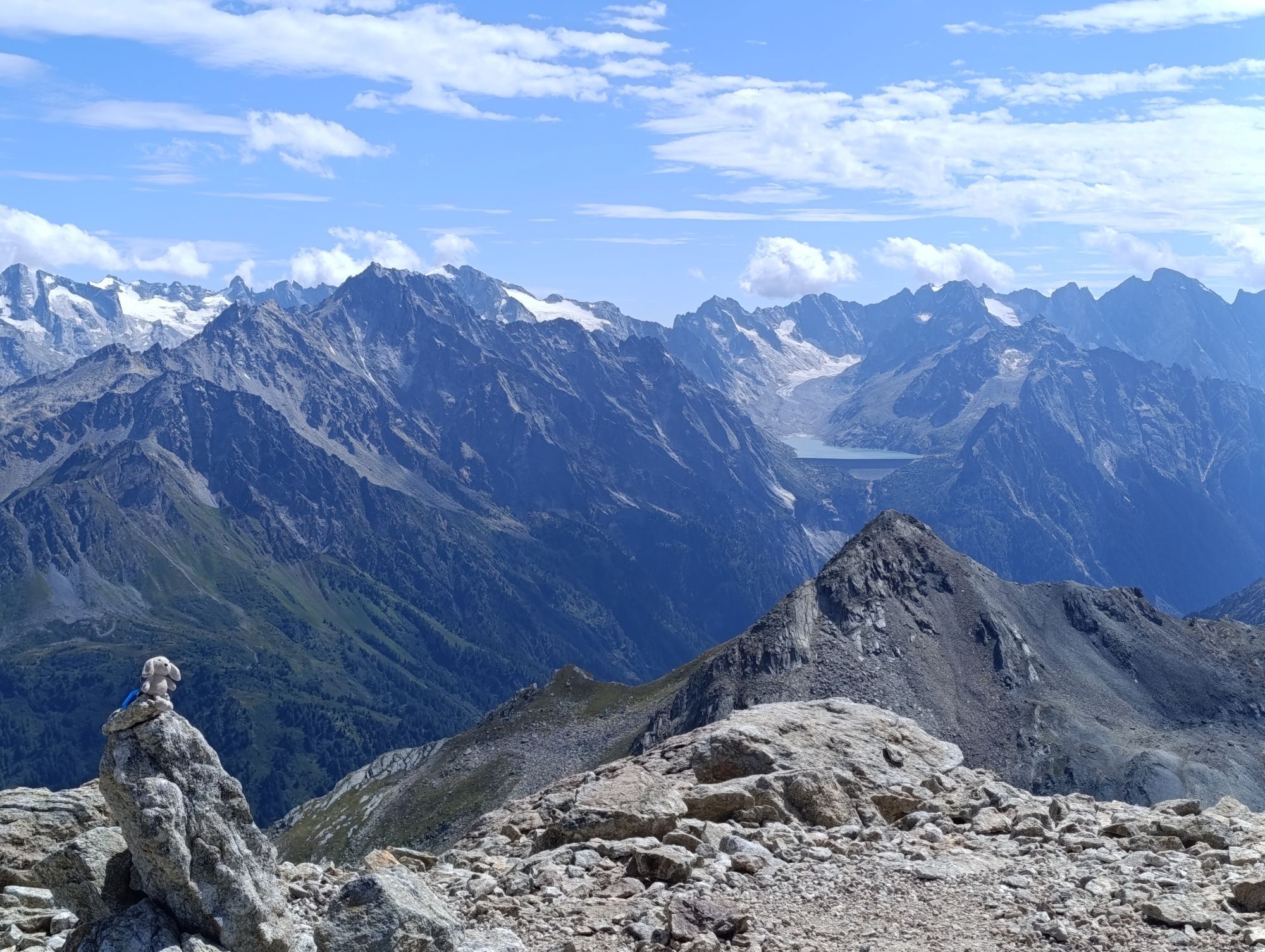
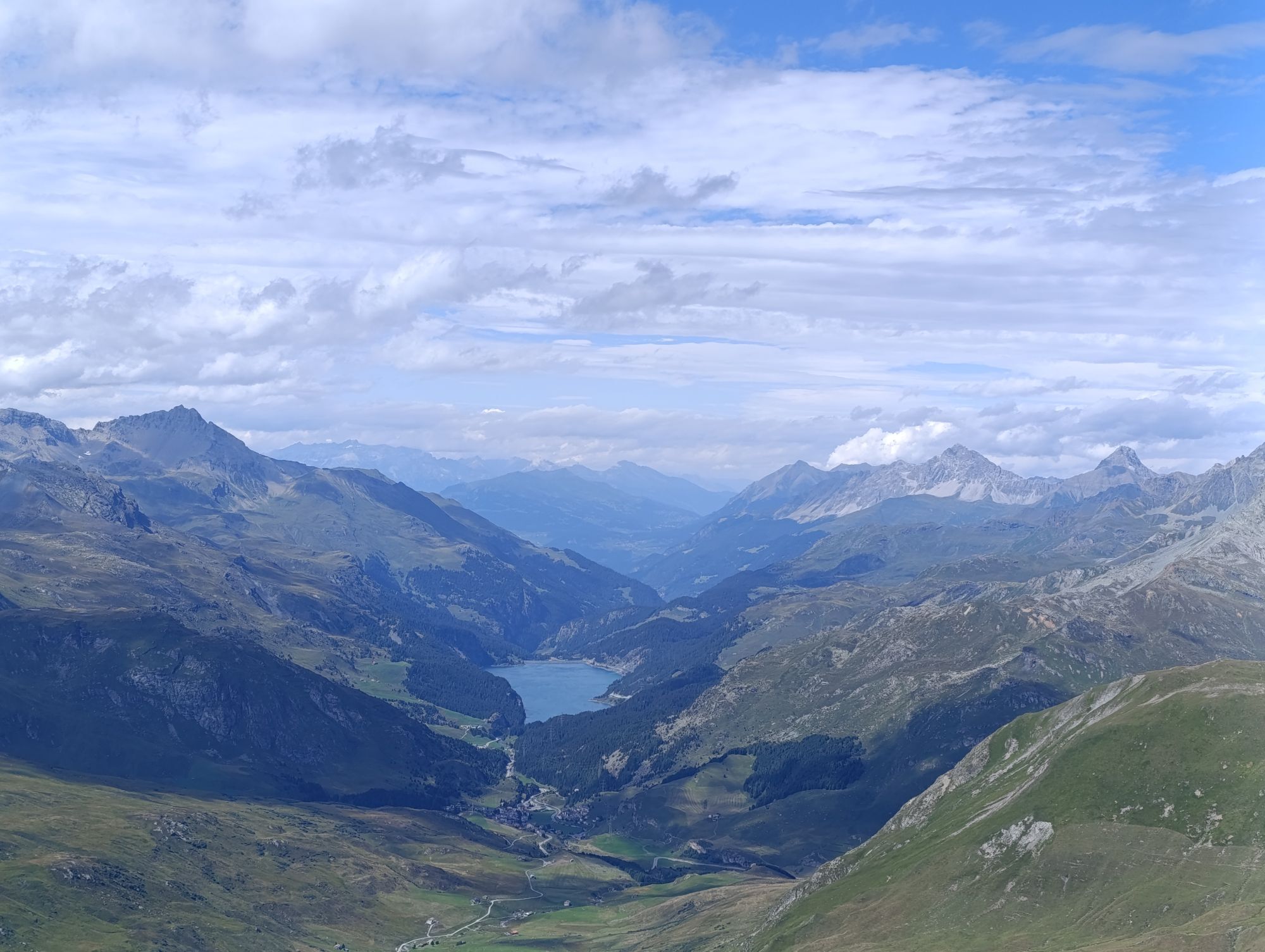
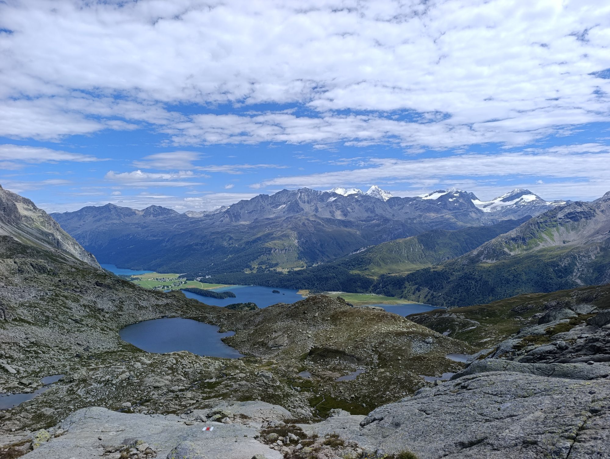
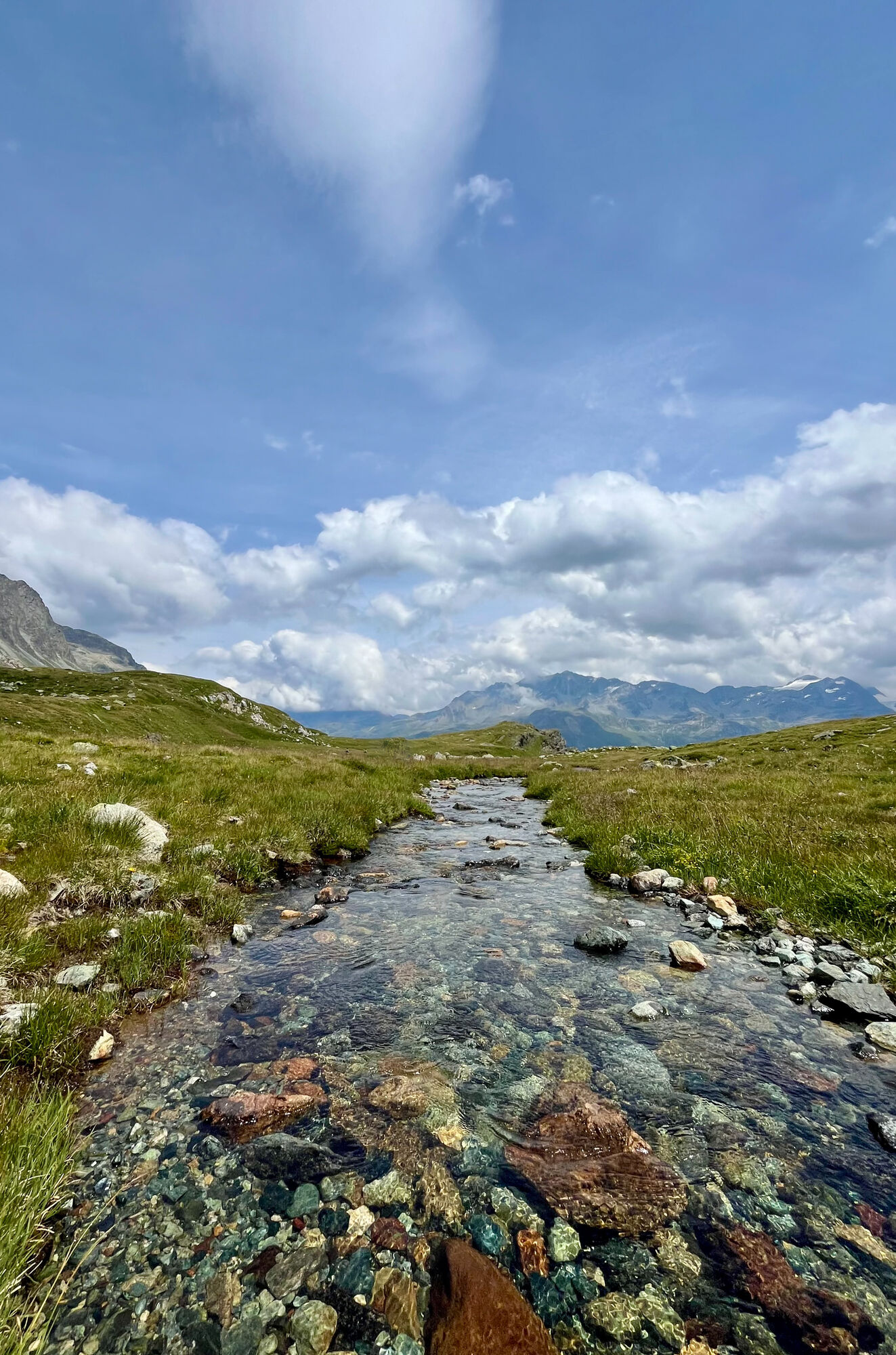
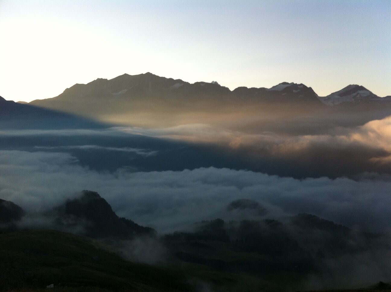
Already during the leisurely start on the Via Engiadina from Sils Baselgia to Grevasalvas, you are spoiled with a spectacular view of Lake Sils. Above the Heidi village Grevasalvas, which was the filming location for the Heidi movie in the 70s, you ascend over alpine meadows to the large plain of Plaun Grand and from there it goes steeply upward to the dreamy Lej Nair, which invites you to a refreshing swim and a welcome cool down before the summit ascent in high summer. Over the impressive, glacier-polished rock ridge, which resembles a giant grey elephant's back, you approach the Piz step by step. Small plains and hollows are suitable for climbing and resting breaks and, with some luck, you may even spot ibex or chamois. Before the spectacular 360° panorama on the summit delights and fascinates, the ascent over the broad ridge still requires some stamina. The roughly 1110 meters steep descent over the same path requires less stamina but strong bones. The summit experiences and the spectacular valley view from a bird's eye perspective of the unique Upper Engadin lake landscape and the surrounding mountains accompany you meanwhile.
Further information
Engadin Tourism AG
Via Maistra 1
CH-7500 St. Moritz
Phone: +41 81 830 00 01
E-Mail: allegra@engadin.ch
Internet: www.engadin.ch

Sils – Lej Nair - Piz Grevasalvas – Sils
Ano
Ano
Ano
Sils in Engadin
Stop Sils/Segl Baselgia, San Lorenzo
See also
Sils Tourist Information
T +41 81 838 50 50
sils@estm.ch
www.sils.ch / www.engadin.ch
In Plaun da Lej there is the possibility to comfortably return to Sils by bus or by boat.
Oblíbené prohlídky v okolí
-
4.8
Maloja - Motta Salacina - Lägh da Cavloc - Maloja
středníTuristika 10.3 km -
4.5
Pontresina - Val Roseg - Pontresina
světloTuristika 13.8 km -
4.7
SAC Tschierva
světloTuristika 24.7 km -
4.3
Val Roseg
středníZimní turistika 6.96 km -
4.8
Around Lake St. Moritz
světloTuristika 4.32 km -
4.6
Marathon
středníBěh na lyžích 42.9 km -
4.8
Val Roseg - Tschierva Hut
středníTuristika 5.12 km -
4.8
Corvatsch Murtèl - Fuorcla Surlej
středníTuristika 4.52 km -
4.6
Val Roseg
světloTrailrunning 14.6 km -
Mittelstation Murtèl – Fuorcla Surlej – Val Roseg – Pontresina
středníTuristika 23.5 km

Pěší turistika a stopování


Nenechte si ujít nabídky a inspiraci pro vaši příští dovolenou
Vaše e-mailová adresa byl přidán do poštovního seznamu.