
Piz Nair - Jenatsch Hut - Bever
heavy
Pořiďte si tuto prohlídku do mobilního telefonu
Piz Nair - Jenatsch Hut - Bever
heavy
Turistika
24.27
km
Naskenujte QR kód a spusťte navigaci v aplikaci bergfex.


Pěší turistika a stopování



Piz Nair - Jenatsch Hut - Bever
heavy
Vzdálenost
24.3
km
Doba trvání
07:24
h
Ascent
543
hm
Hladina moře
1707 -
3009
m

Navigujte po trase v aplikaci
Nainstalujte si aplikaci zdarma a mějte trasu vždy na očích díky GPS navigaci a sledování polohy.
Využijte nyní službu „ bergfex “ v aplikaci
Naskenuj QR kód pomocí fotoaparátu
Jakmile je aplikace nainstalována, obsah se otevře přímo. Pokud aplikaci ještě nemáš, budeš přesměrován na stránku, kde si ji můžeš zdarma stáhnout.
Stažení skladby
Piz Nair - Jenatsch Hut - Bever
heavy
Turistika
24.27
km
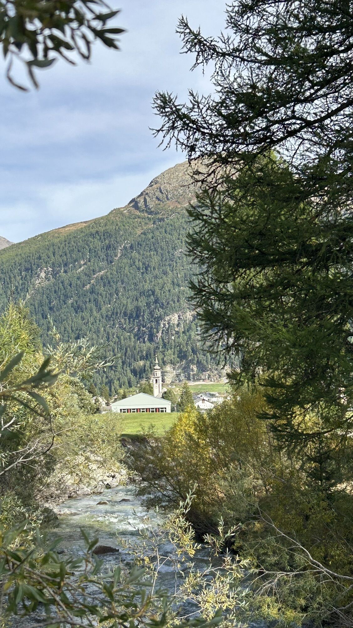
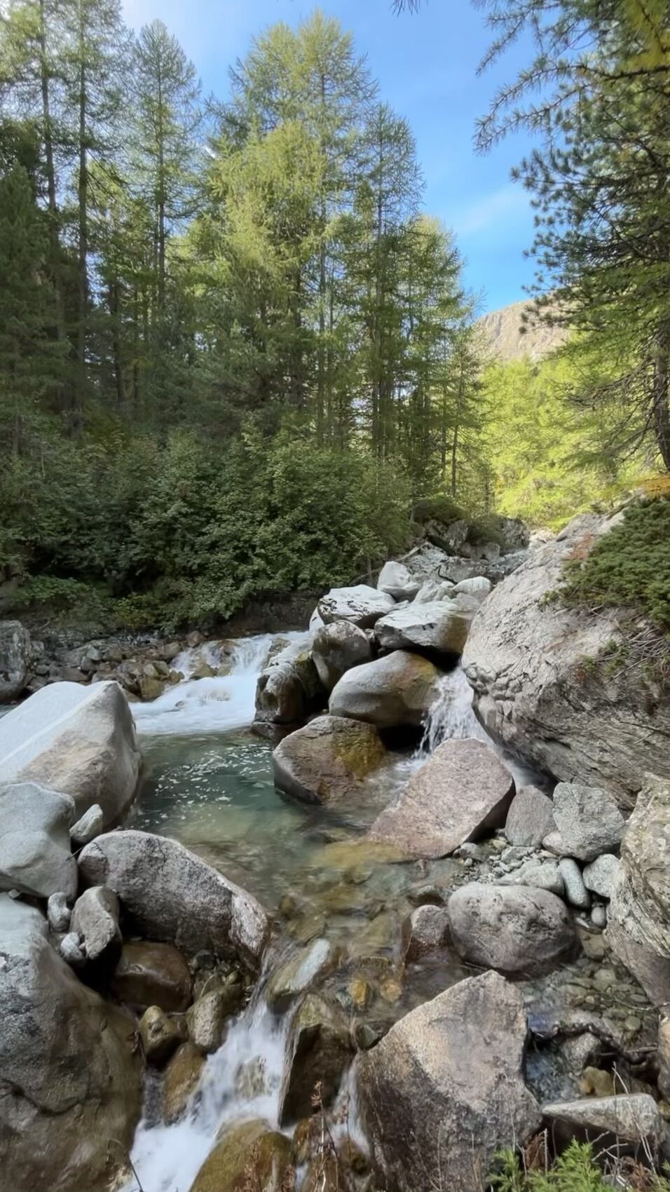
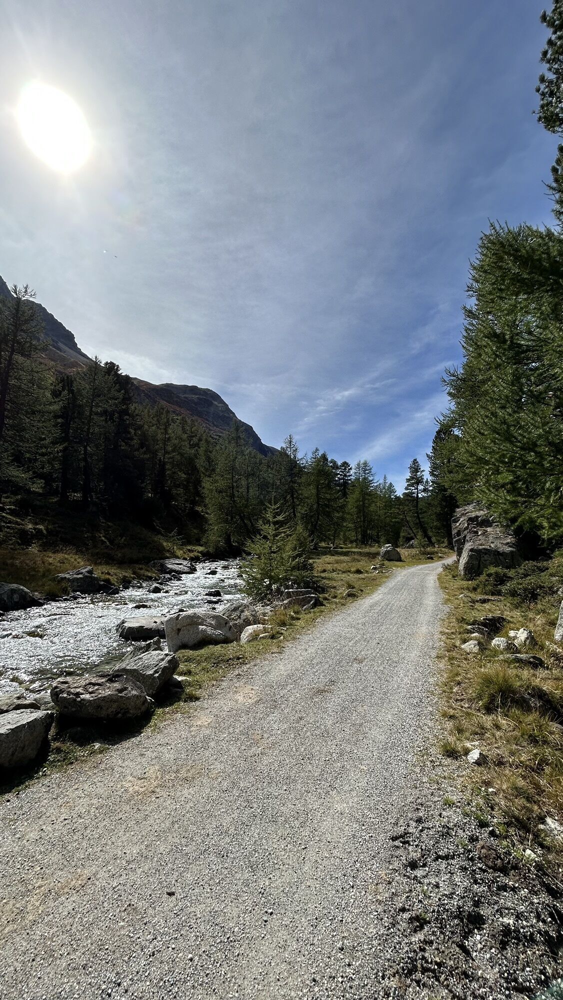
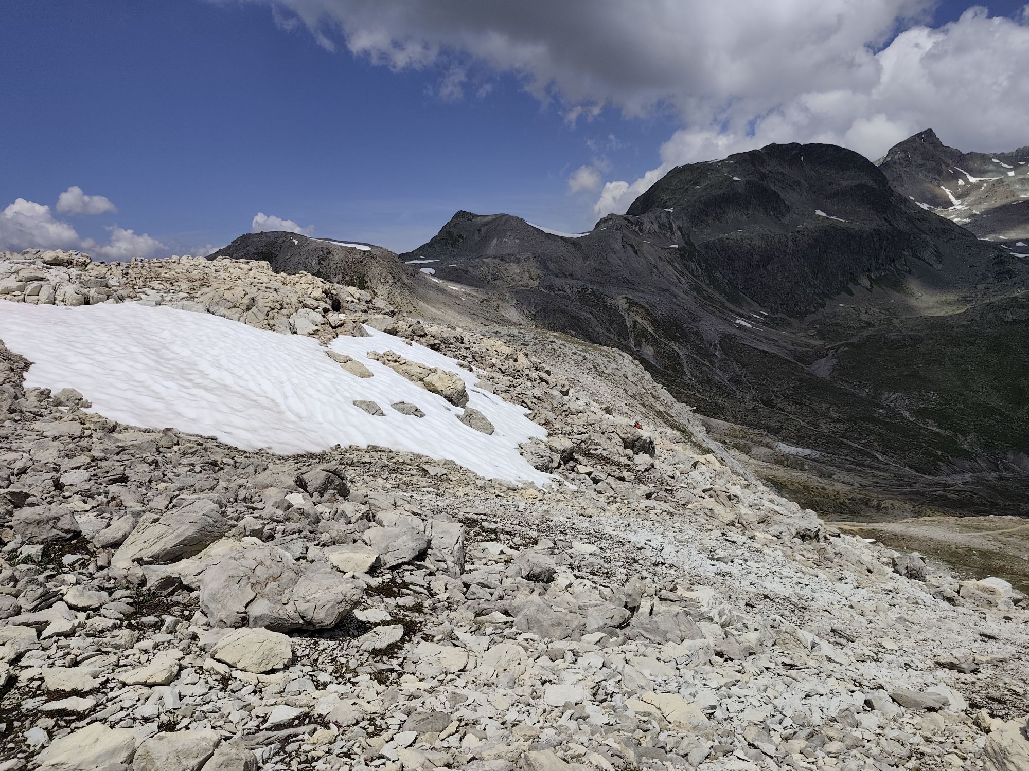
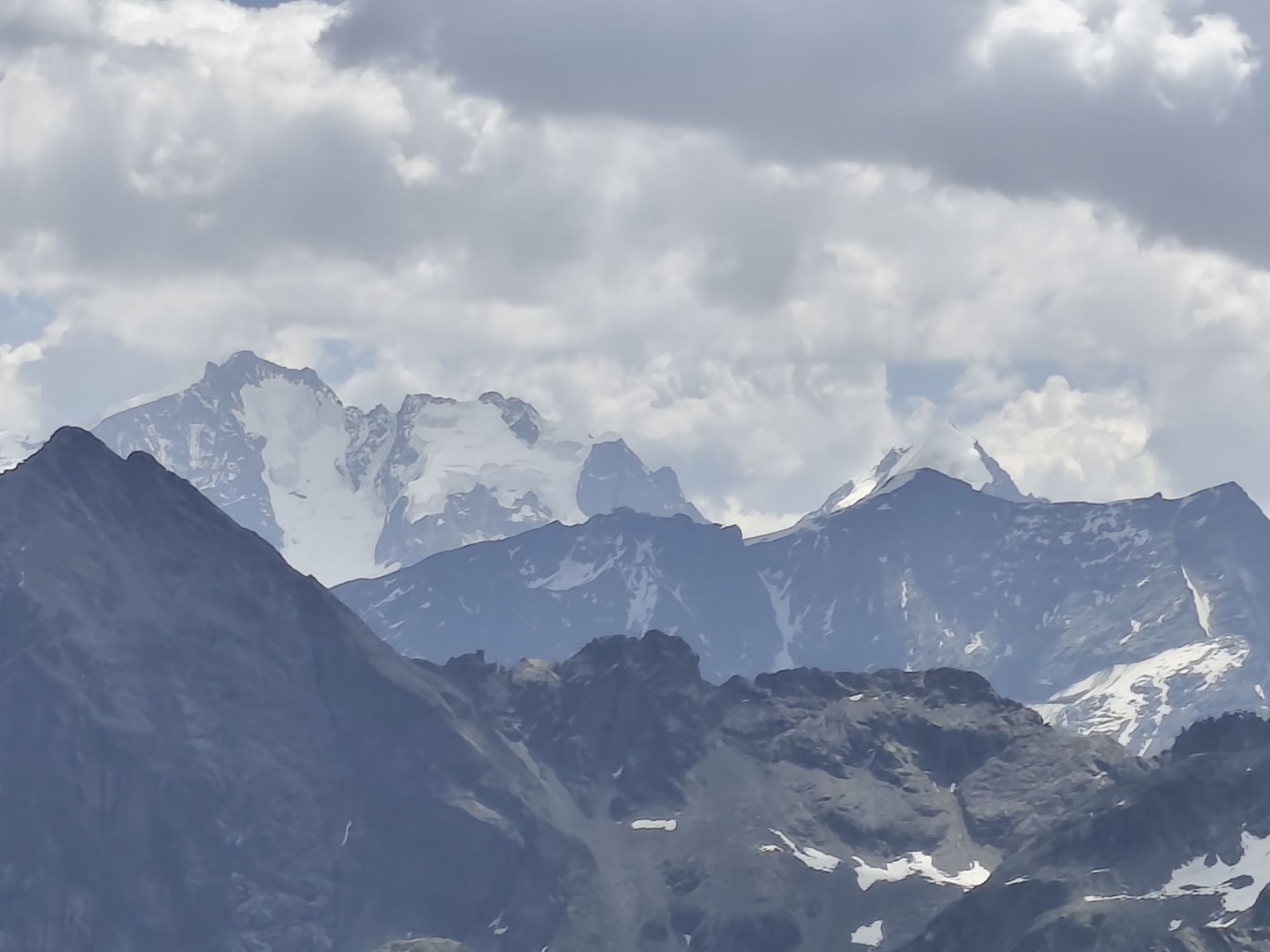
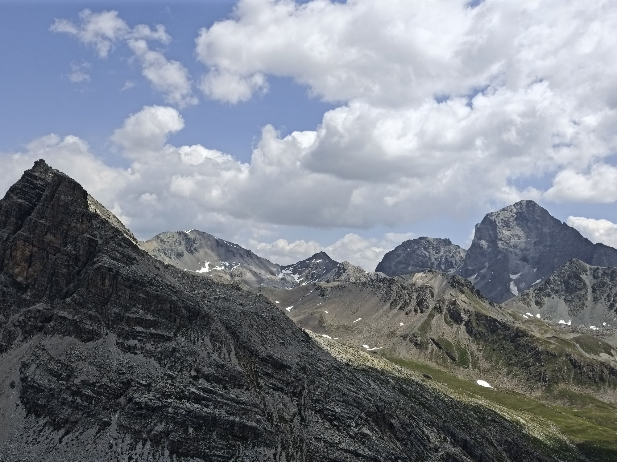
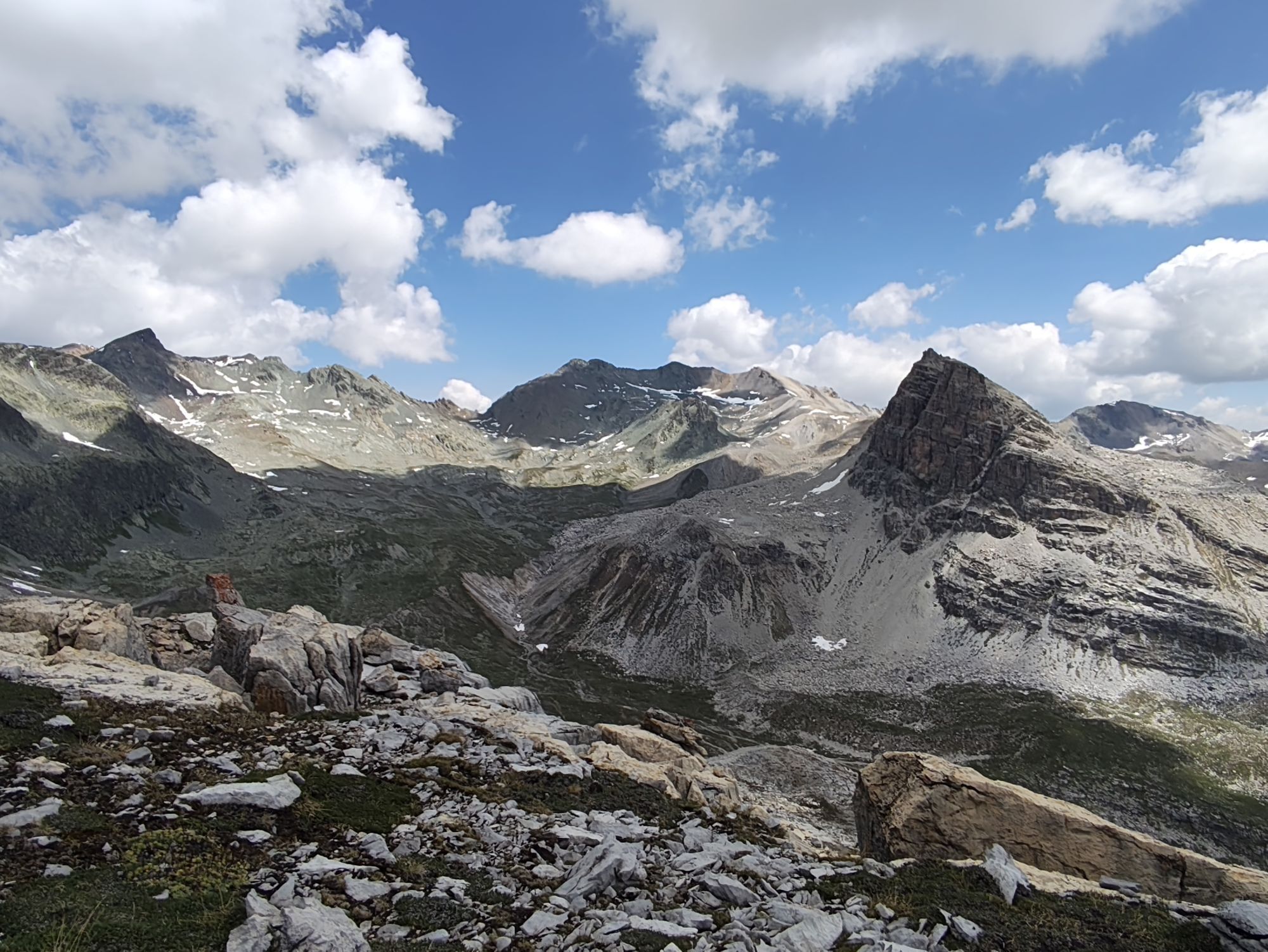
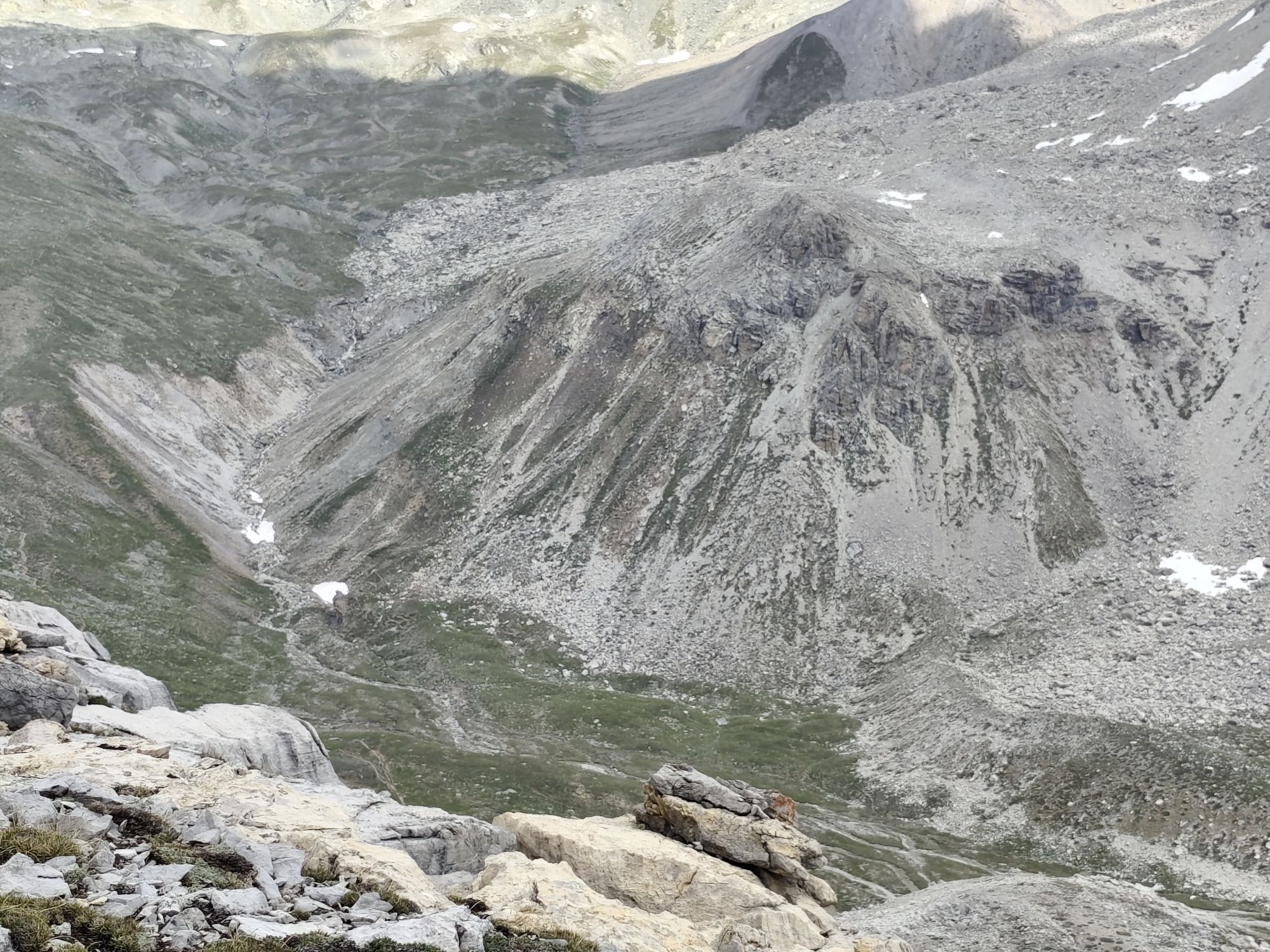


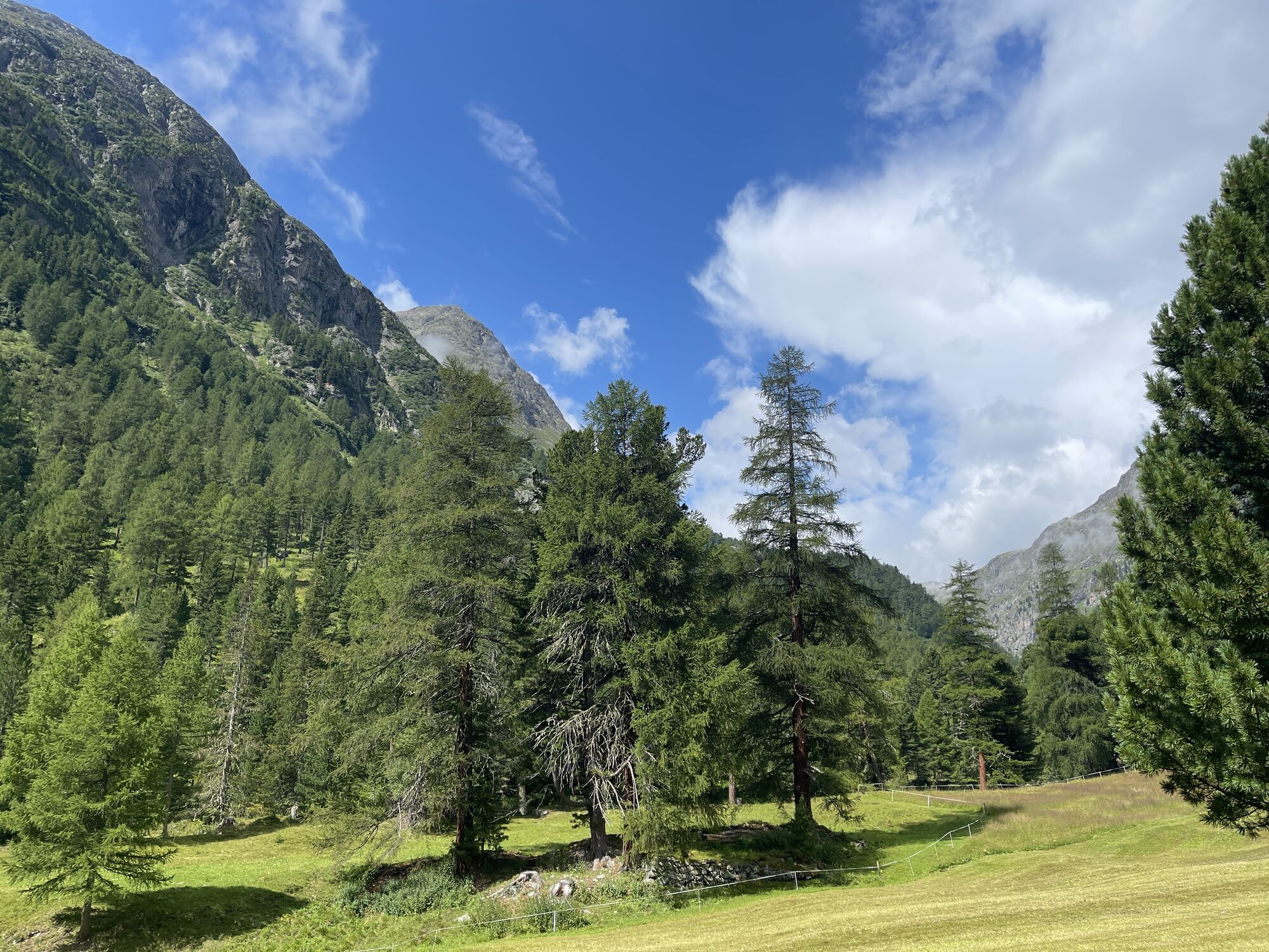
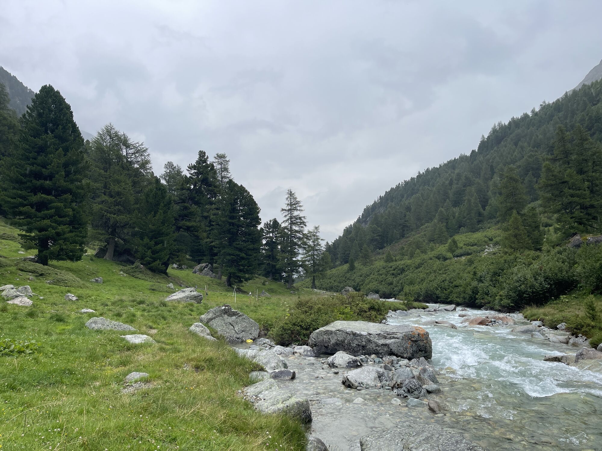
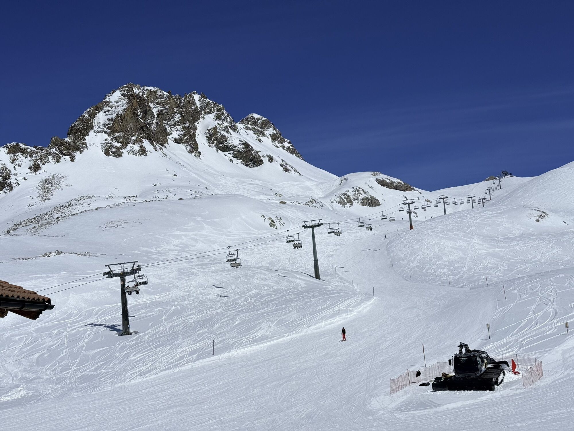


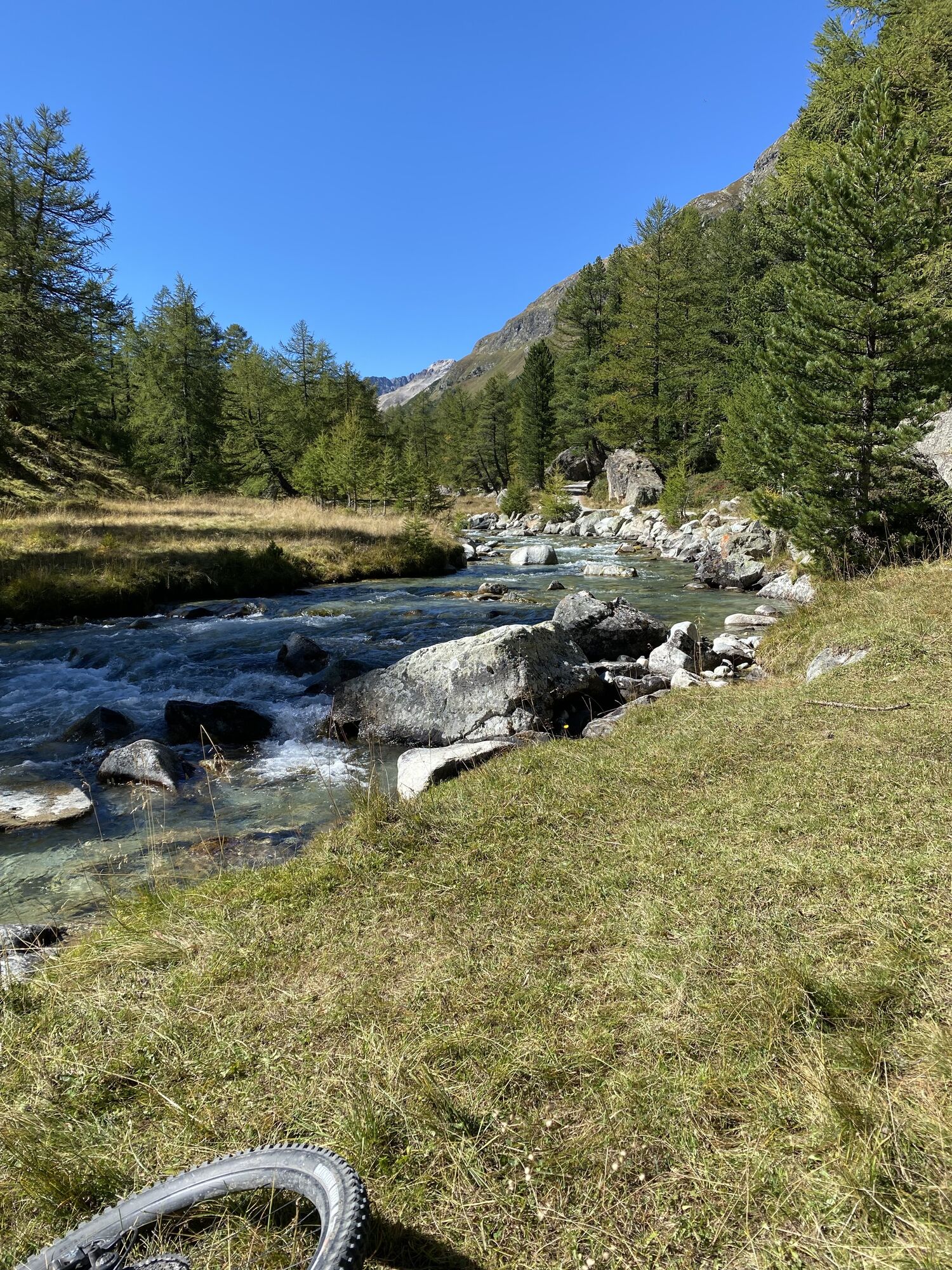
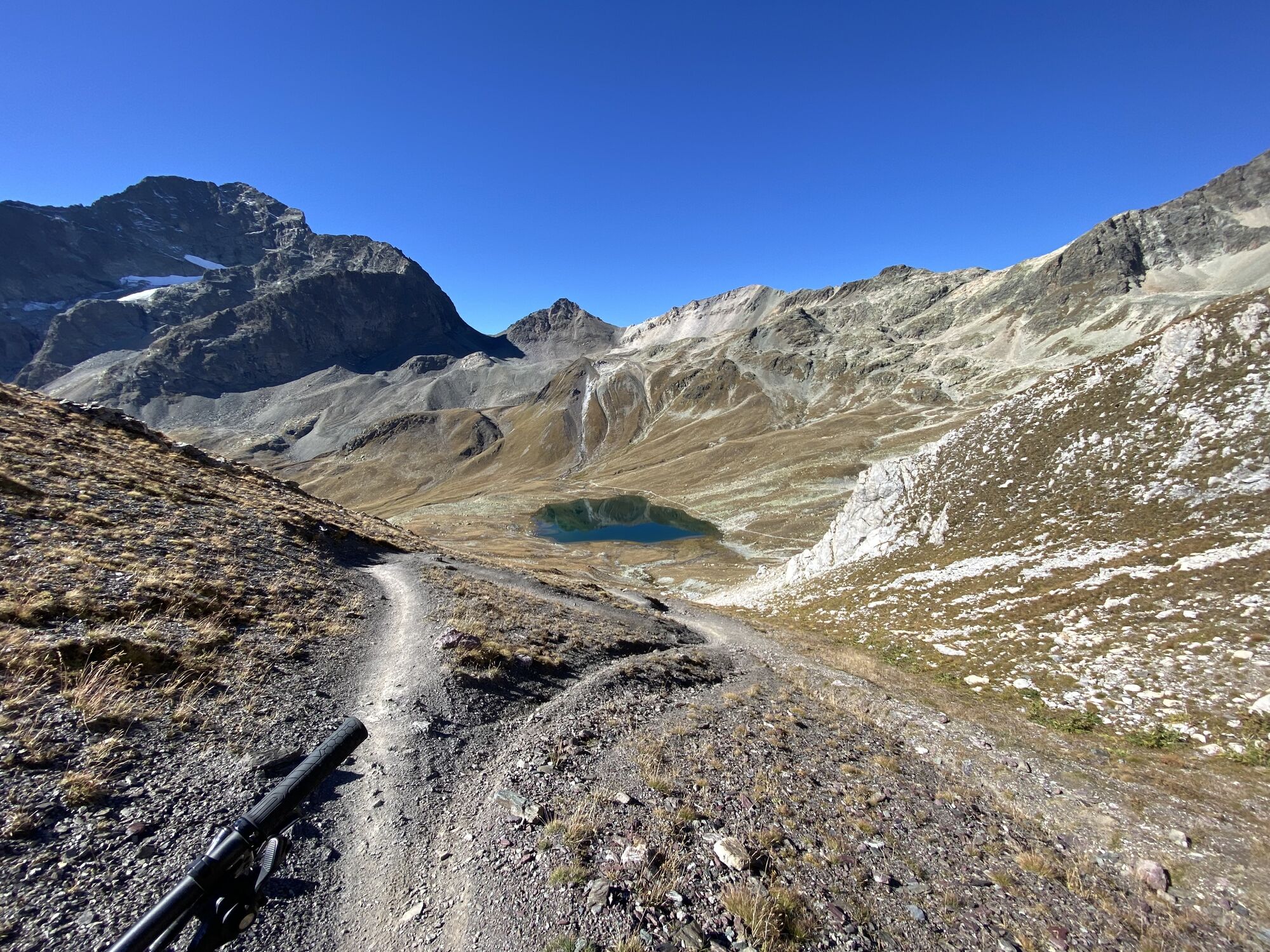


You can easily reach Piz Nair, St. Moritz’s local mountain, via the Chantarella/Corviglia funicular and the Piz Nair cable car. Before descending on the hiking trail to Lej Suvretta, it’s worth taking...
Popis
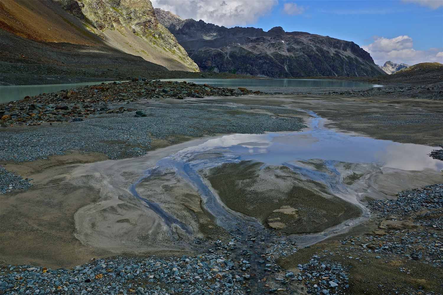
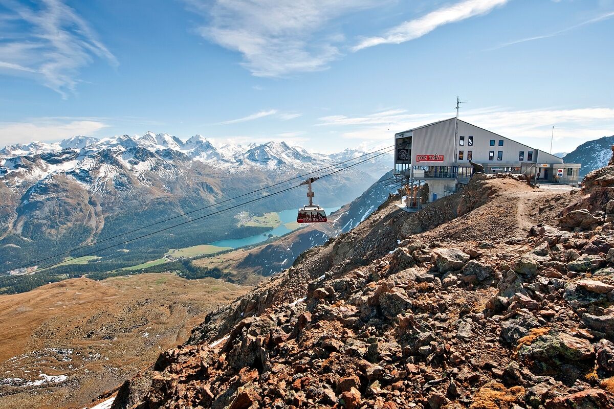
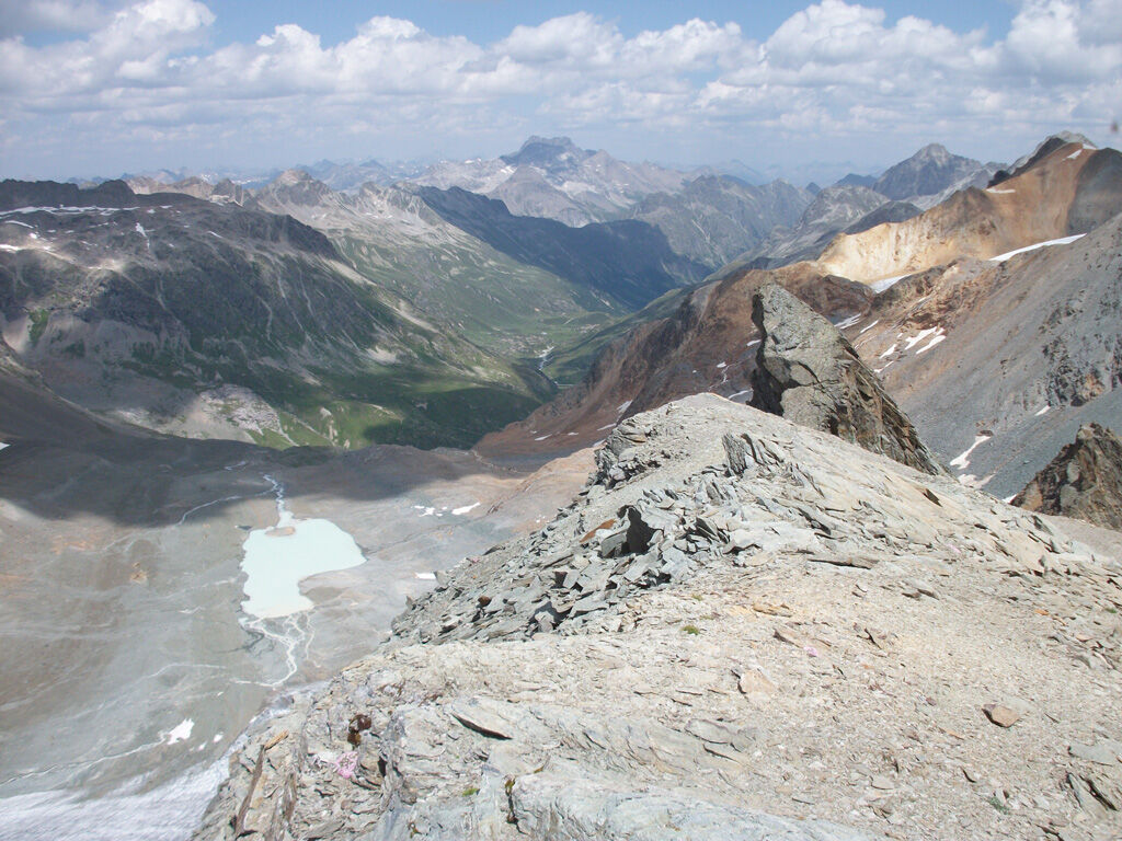
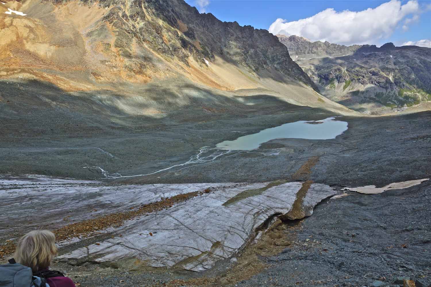
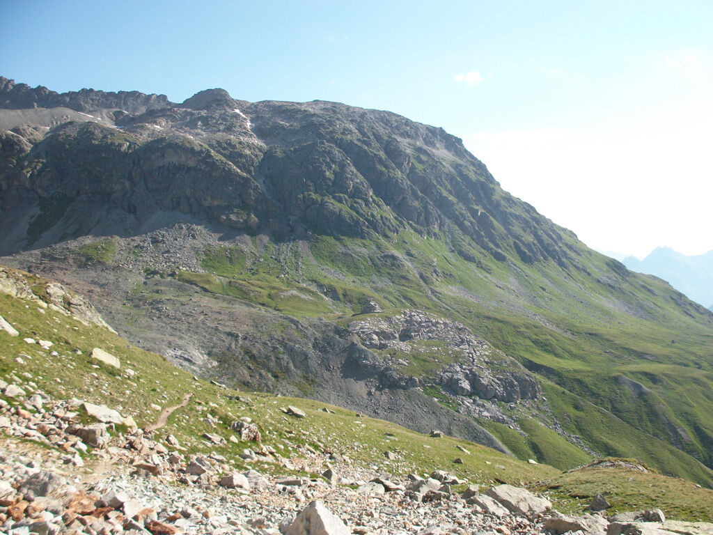
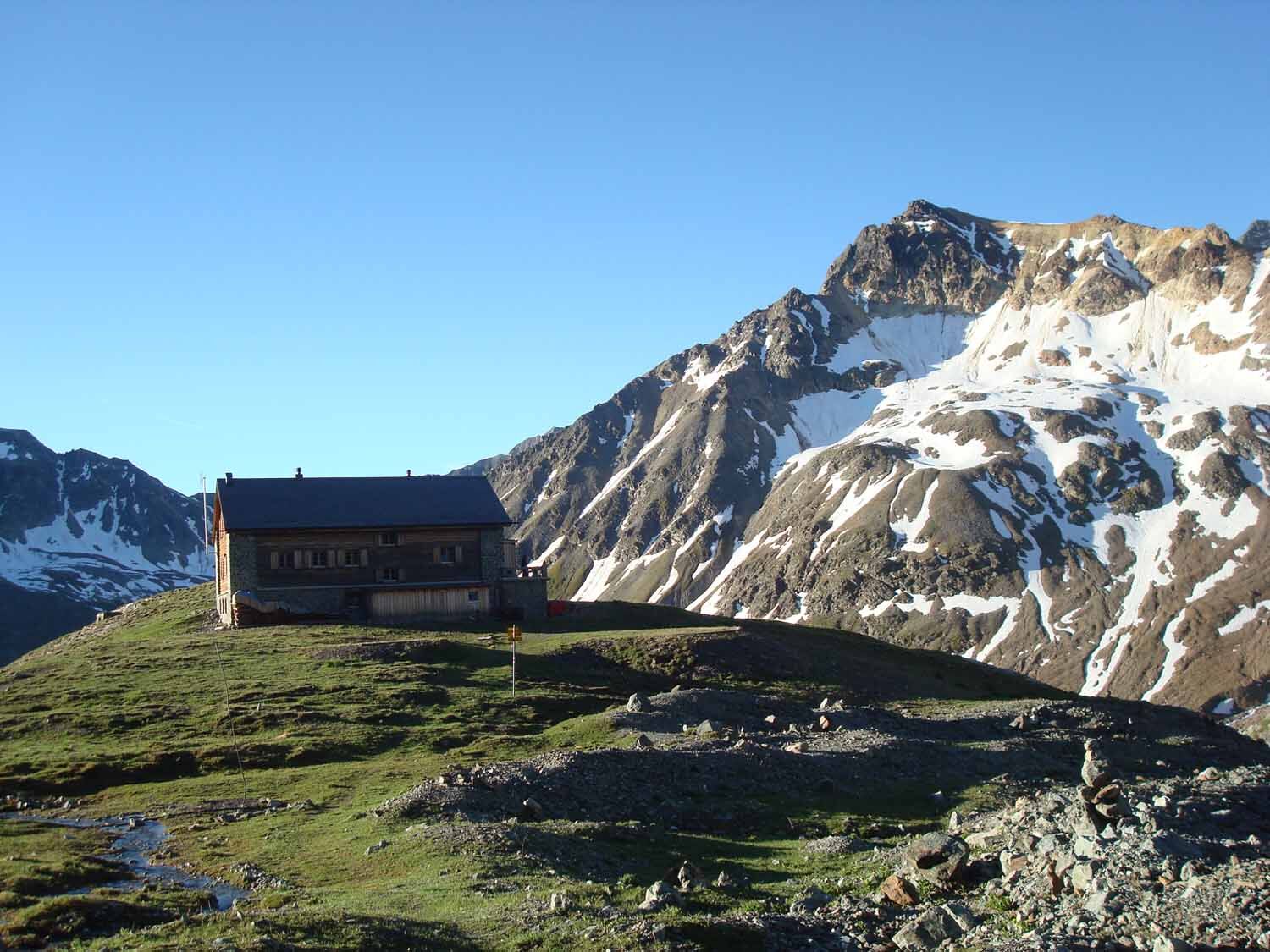
You can easily reach Piz Nair, St. Moritz’s local mountain, via the Chantarella/Corviglia funicular and the Piz Nair cable car. Before descending on the hiking trail to Lej Suvretta, it’s worth taking a moment to enjoy the magnificent view over the Upper Engadine lake district. From Lej Suvretta, the route follows the red trail markers along the opposite slope, climbing steeply over rocky steps to Fuorcla Suvretta, where you’ll be greeted by a large cairn and a breathtaking view. Crossing moraine debris and grassy slopes, you’ll reach the Traunter Ovas basin. After crossing the north face of Piz Traunter Ovas, you’ll cross the glacial stream of Vadret d’Agnel and, after a short climb in a sweeping arc, reach the Chamanna Jenatsch, the highest SAC hut in Graubünden. Here, you can enjoy a well-deserved break and recharge your energy with delicious, hearty meals to prepare for the long descent. Refreshed, you’ll first hike through sparse vegetation along the rushing Beverin River to the Tegia d’Val and from there, for quite some time, through lush, flower-filled alpine meadows and sparse Swiss stone pine and larch forests to Spinas. Now you can take a leisurely stroll out of the valley to Bever.
Further information
Engadin Tourism AG
Via Maistra 1
CH-7500 St. Moritz
Phone: +41 81 830 00 01
Email: allegra@engadin.ch
Website: www.engadin.ch
Further information
Engadin Tourism AG
Via Maistra 1
CH-7500 St. Moritz
Phone: +41 81 830 00 01
Email: allegra@engadin.ch
Website: www.engadin.ch
Trasa
Piz Nair Bergstation
(3024 m)
Koridor/terén
0.0 km
Piz Nair
(3057 m)
Summit
0.0 km
Fuorcla Suvretta
(2966 m)
Horské sedlo
3.4 km
Chamanna Jenatsch CAS
(2651 m)
Úkryt
7.9 km
Bever
(1708 m)
Vesnice
24.1 km
Trasa
Piz Nair - Jenatsch Hut - Bever
heavy
Turistika
24.27
km
Piz Nair Bergstation
(3024 m)
Koridor/terén
0.0 km
Piz Nair
(3057 m)
Summit
0.0 km
Fuorcla Suvretta
(2966 m)
Horské sedlo
3.4 km
Chamanna Jenatsch CAS
(2651 m)
Úkryt
7.9 km
Bever
(1708 m)
Vesnice
24.1 km
Autor
Poskytuje Engadin Tourismus AG
Prohlídku Piz Nair - Jenatsch Hut - Bever zajišťuje outdooractive.com.

Naposledy sledované
před 4 týdny

Informace o trase
Trasa
Piz Nair - Lej Suvretta - Fuorcla Suvretta - Chamanna Jenatsch - Tegia d'Val - Spinas - Bever
Geologické zajímavosti
Ano
Lanovka/kabina
Ano
Informace o příjezdu
Veřejná doprava
With the Engadin Bus to bus stop St. Moritz, Schulhausplatz
Další informace a tipy
Tipy
The hike can also be completed in two days—with an overnight stay at the Jenatsch Hut
Oceňování
1 Komentář:
Jang

07. Sep. 2025
Fuorcla Suvretta
Webové kamery z prohlídky
-
Corviglia
-
St. Moritz / Samedan - Muottas Muragl
-
Samedo - Engadin Golf
-
St. Moritz / Samedan - Muottas Muragl
-
St. Moritz / Samedan - Muottas Muragl
-
St. Moritz / Samedan - Muottas Muragl
-
St. Moritz / Samedan - Muottas Muragl
-
Corviglia
-
Corviglia
-
Corviglia
-
Corviglia
-
Corviglia
-
Corviglia
-
Corviglia
-
Celerina - Cresta Palace
-
Piz Nair - St. Moritz
-
St. Moritz / Trais Fluors Bergstation
-
La Punt - Wasserreservoir
-
La Punt - Wasserreservoir
-
La Punt - Wasserreservoir
-
La Punt - Wasserreservoir
-
St. Moritz - Berghotel Randolins
-
Samedan - Engadin Airport
-
Preda - Albulatunnel
-
Piz Nair Bergstation
-
Piz Nair Bergstation
-
Piz Nair Bergstation
-
Piz Nair Bergstation
-
Piz Nair Bergstation
-
Piz Nair Bergstation
-
Piz Nair Bergstation
-
Piz Nair Bergstation
-
Trais Fluors Bergstation
-
Trais Fluors Bergstation
-
Trais Fluors Bergstation
-
Trais Fluors Bergstation
-
Trais Fluors Bergstation
-
Trais Fluors Bergstation
-
Trais Fluors Bergstation
-
Trais Fluors Bergstation

Všechny webové kamery na mapě
Nainstaluj si aplikaci zdarma a porovnej si živé záběry z několika míst, než vyrazíš.
Využijte nyní službu „ bergfex “ v aplikaci
Naskenuj QR kód pomocí fotoaparátu
Jakmile je aplikace nainstalována, obsah se otevře přímo. Pokud aplikaci ještě nemáš, budeš přesměrován na stránku, kde si ji můžeš zdarma stáhnout.

Oblíbené prohlídky v okolí
-
4.8
Panoramic route Muottas Muragl
světloTuristika 6.75 km -
5.0
Muottas Muragl - Segantini hut - Pontresina
středníTuristika 6.46 km -
4.5
Pontresina - Val Roseg - Pontresina
světloTuristika 13.8 km -
4.8
Alp Languard - Segantini Hut - Muottas Muragl
středníTrailrunning 6.45 km -
4.8
Around Lake St. Moritz
světloTuristika 4.32 km -
Muottas Muragl - Segantini Hütte - Pontresina
středníTuristika 17.5 km -
4.3
721 Senda Ils Lejins Sils/Furtschellas
středníTuristika 6.02 km -
5.0
Lej Muragl
středníTuristika 7.39 km -
4.5
Sils - Lej da la Tscheppa - Sils
středníTuristika 11.4 km -
4.8
Corvatsch Murtèl - Fuorcla Surlej
středníTuristika 4.52 km
Pěší turistika a stopování

Více než 550.000 návrhů výletů, podrobné mapy a intuitivní plánovač tras dělají z aplikace nezbytnou výbavu pro všechny milovníky přírody.

Nenechte si ujít nabídky a inspiraci pro vaši příští dovolenou
Přihlaste se k odběru newsletteru
Chyba
Došlo k chybě. Zkuste to prosím znovu.
Děkujeme za vaši registraci
Vaše e-mailová adresa byl přidán do poštovního seznamu.
Zájezdy po celé Evropě
Rakousko
Švýcarsko
Německo
Itálie
Slovenia
Francie
Nizozemsko
Belgie
Polsko
Lichtenštejnsko
Česko
Slovensko
Španělsko
Chorvatsko
Bosna a Hercegovina
Lucembursko
Andorra
Portugal
Iceland
United Kingdom
Ireland
Greece
Albania
North Macedonia
Malta
Norway
Montenegro
Moldova
Kosovo
Hungary
San Marino
Romania
Estonia
Latvia
Belarus
Cyprus
Lithuania
Serbia
Bulgaria
Monaco
Denmark
Sweden
Finland


