




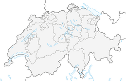


Via Vilan summit to Seewis
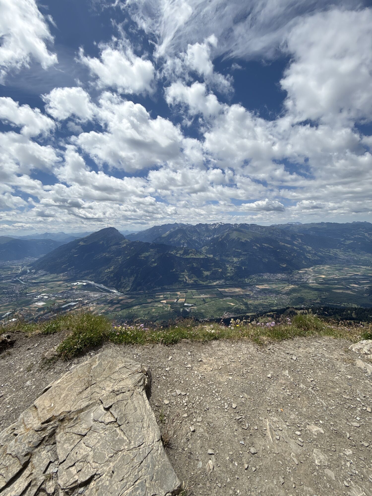
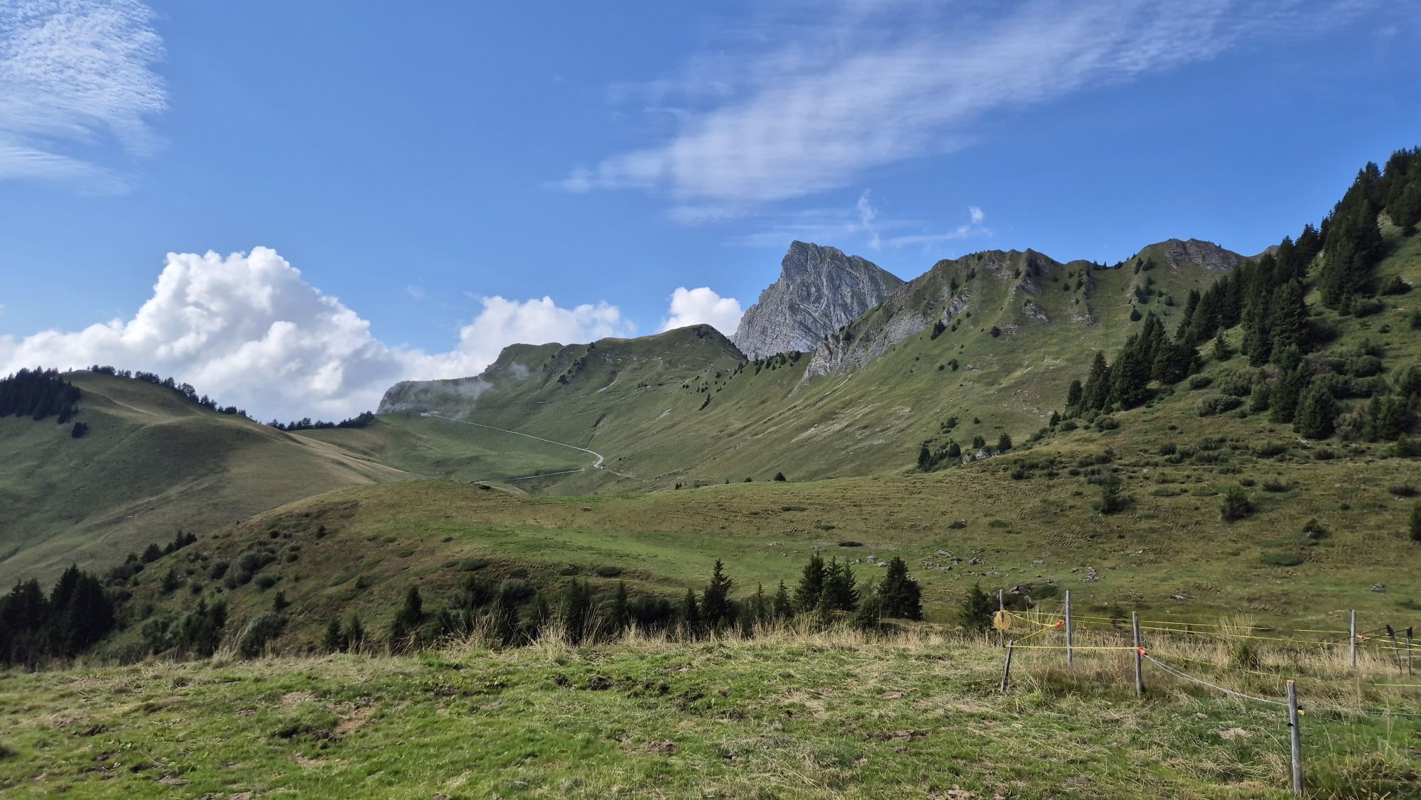
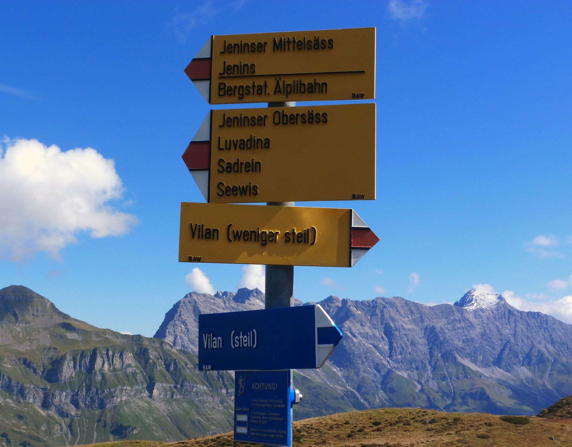
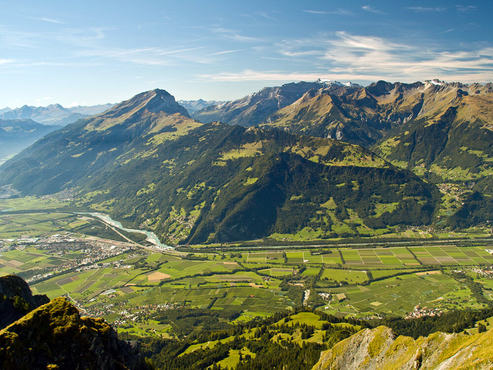
A physically demanding hike with the summit experience on the Vilan. We overcome the ascent via the normal route. Walking eastwards along the ridge past the impressive Steinmanndli we reach Sadreinegg....
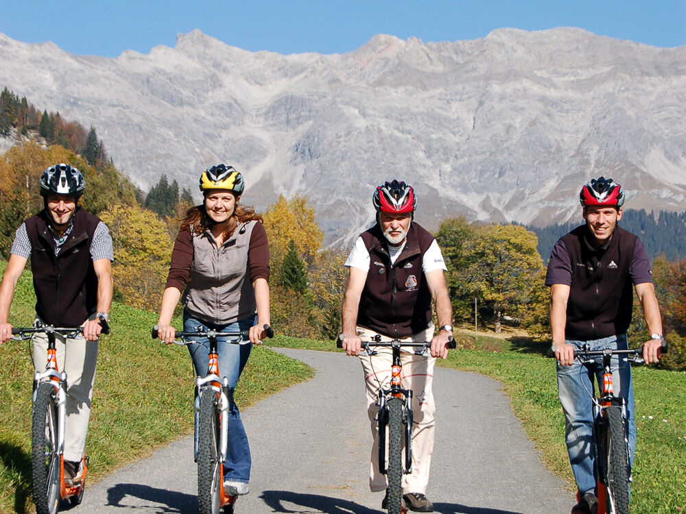
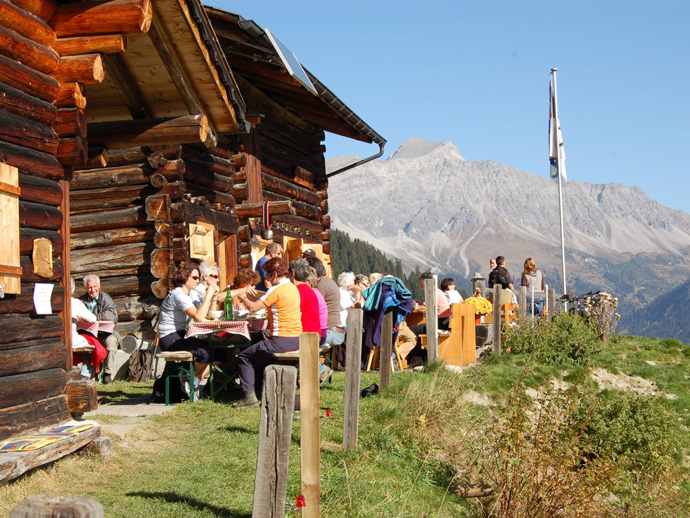
A physically demanding hike with the summit experience on the Vilan. We overcome the ascent via the normal route. Walking eastwards along the ridge past the impressive Steinmanndli we reach Sadreinegg. Now we keep right and descend partly on the forest road, then using a shortcut again on the mountain path, heading towards Guora and branching off at the signpost position 66.3 towards Valcaus. Through short woodland sections and open passages we reach the mountain hut Valcaus. Thanks to numerous forest roads, from here we can choose different routes to Seewis. The easiest way is with the scooters.



Ano
Ano
Good footwear, mountain hiking clothes suitable for the season, map, drinks and snacks in the backpack are recommended.
Do not leave the marked route in poor visibility.
Coming from Zurich, leave the A13 motorway at Landquart towards Landquart, Davos, Vereina. Follow the national road A28 to Landquart. Then follow the main road to Malans. Coming from Davos, follow the national road A28 to Landquart, then follow the main road to Malans.
Paid parking spaces are available in the immediate vicinity of the valley station.
Prättigau Marketing
Feldweg 19
CH-7233 Jenaz
Tel. +41 81 325 11 11
info@praettigau.info
www.praettigau.info
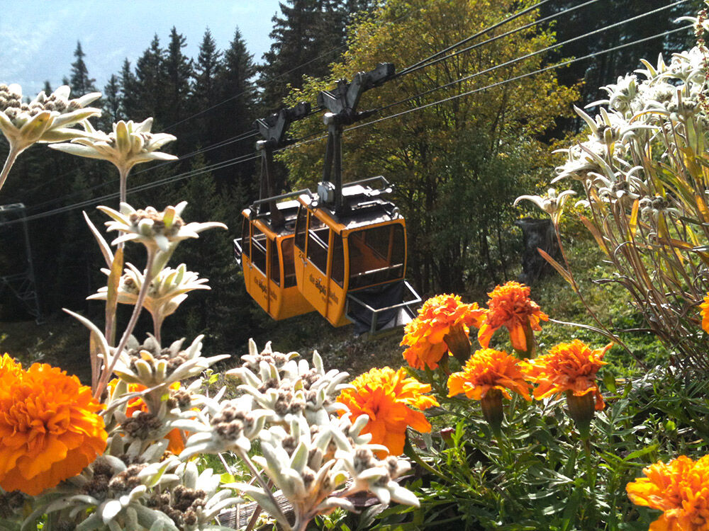
The Älplibahn has 2 cabins with 4 persons each and has limited capacities. An advance reservation by phone +41 (0)81 322 47 64 is therefore essential.
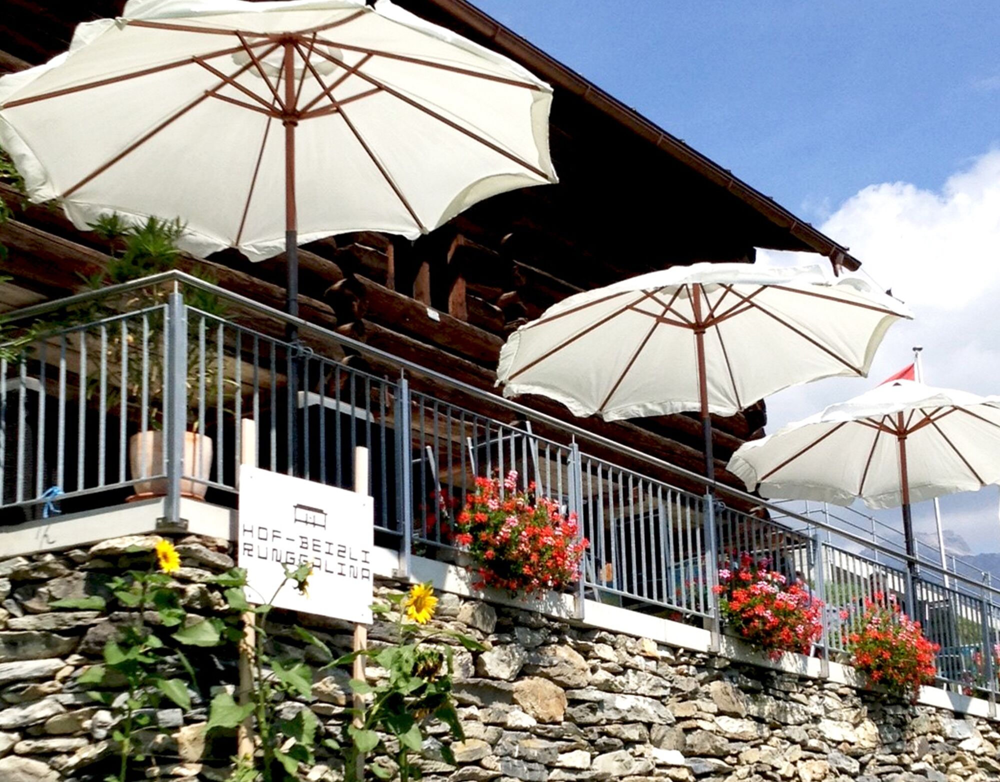
Serviced mountain hut Valcaus: scooter rental for the ride to Seewis. Reservation is recommended: Tel. +41 79 526 73 37. Shortly before Seewis, there is another opportunity to stop off: the Hofbeizli Runggalina is a cozy little inn with a magnificent view over Seewis.
Webové kamery z prohlídky
Získejte přehled
Vždy živě na místě s více než 9 500 webkamerami. bergfex Jako uživatel Pro si nyní můžete zobrazit odpovídající webové kamery pro mnoho prohlídek v aplikaci prohlídky z. Můžete si tak přímo prohlédnout aktuální podmínky.
Oblíbené prohlídky v okolí
-
4.8
Douglashütte - Schesaplana
středníTuristika 7.31 km -
4.9
Douglasshütte, Lünersee, Gafalljoch Brand bei Bludenz, Vorarlberg
světloTuristika 9.16 km -
3.7
Fürstin-Gina-Weg
Turistika 10.7 km -
3.8
Sassweg - von Malbun zum Sass-Seelein
Turistika 4.14 km -
4.9
From Malbun to the Schönberg
středníTuristika 12.4 km -
4.8
Schesaplana
středníVysokohorská turistika 5.26 km -
4.7
Tamina Gorge Circular Route
středníTuristika 14.0 km -
4.6
Pizalun circular route
světloTuristika 7.18 km -
3.3
Wanderbares Zalimtal
středníTuristika 12.2 km -
5.0
Around the Kirchlispitzen (2,552 m)
heavyTuristika 14.8 km

Pěší turistika a stopování


Nenechte si ujít nabídky a inspiraci pro vaši příští dovolenou
Vaše e-mailová adresa byl přidán do poštovního seznamu.





