







Mittenberg round tour

Úroveň obtížnosti: S2
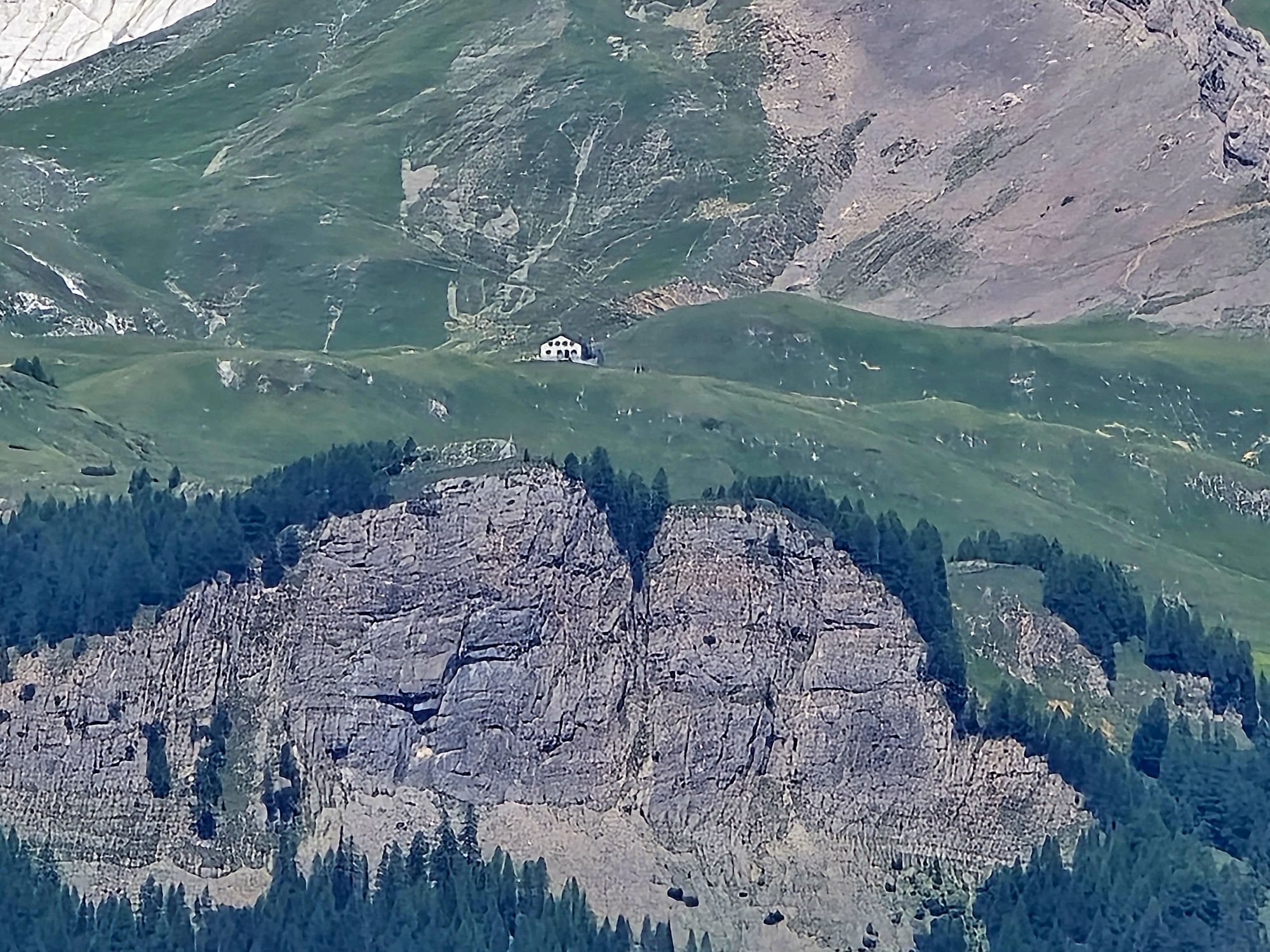
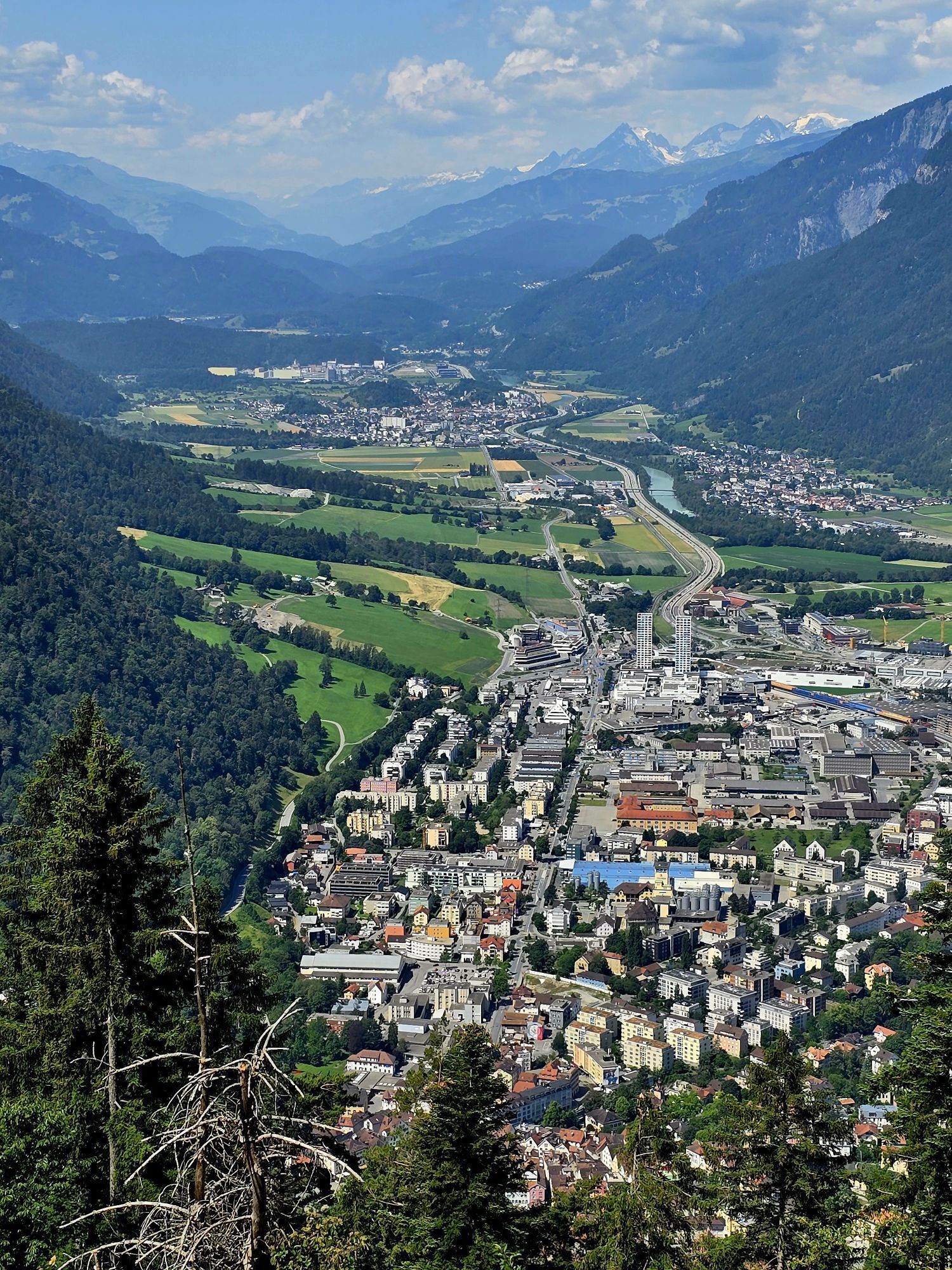
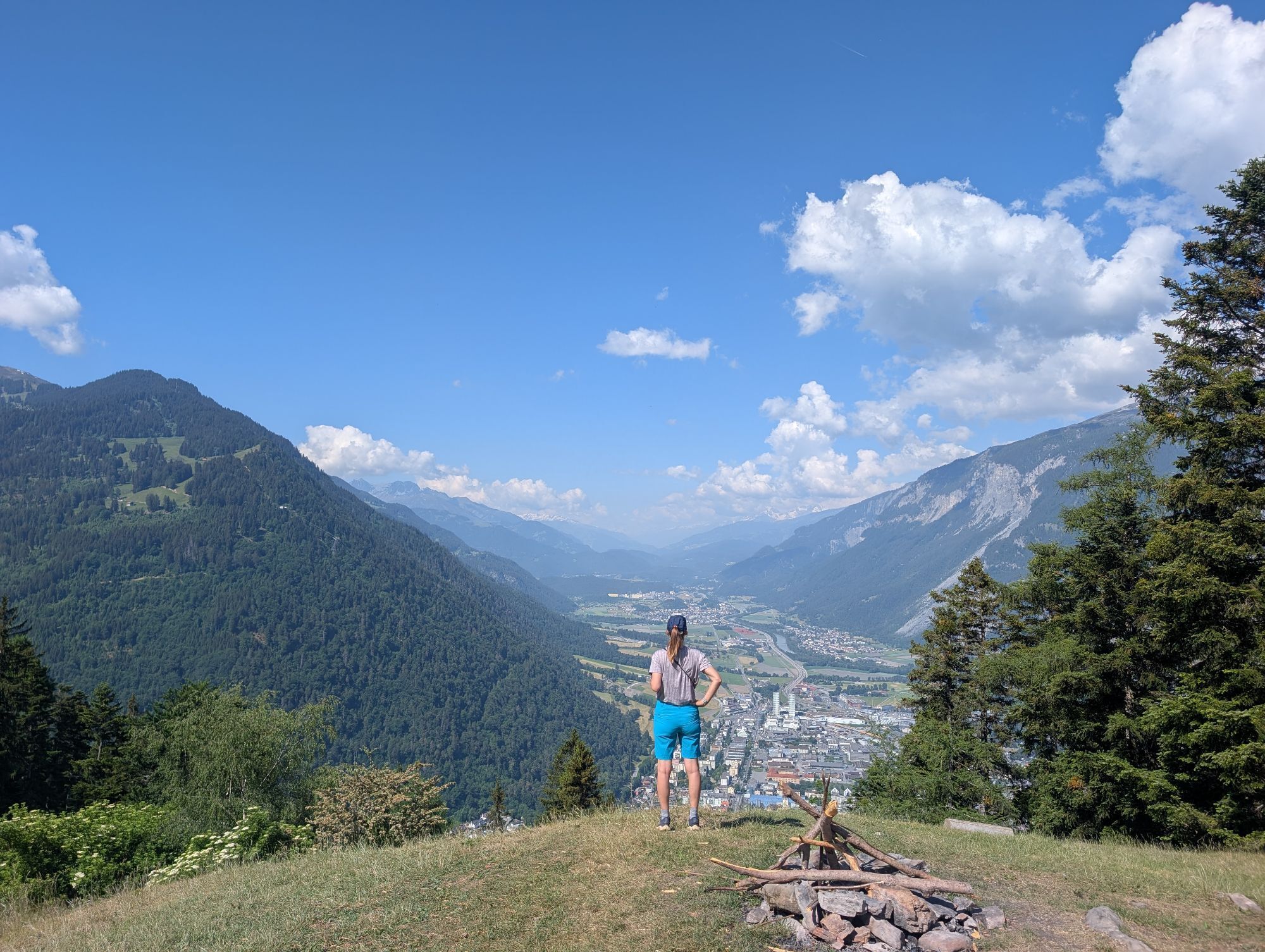
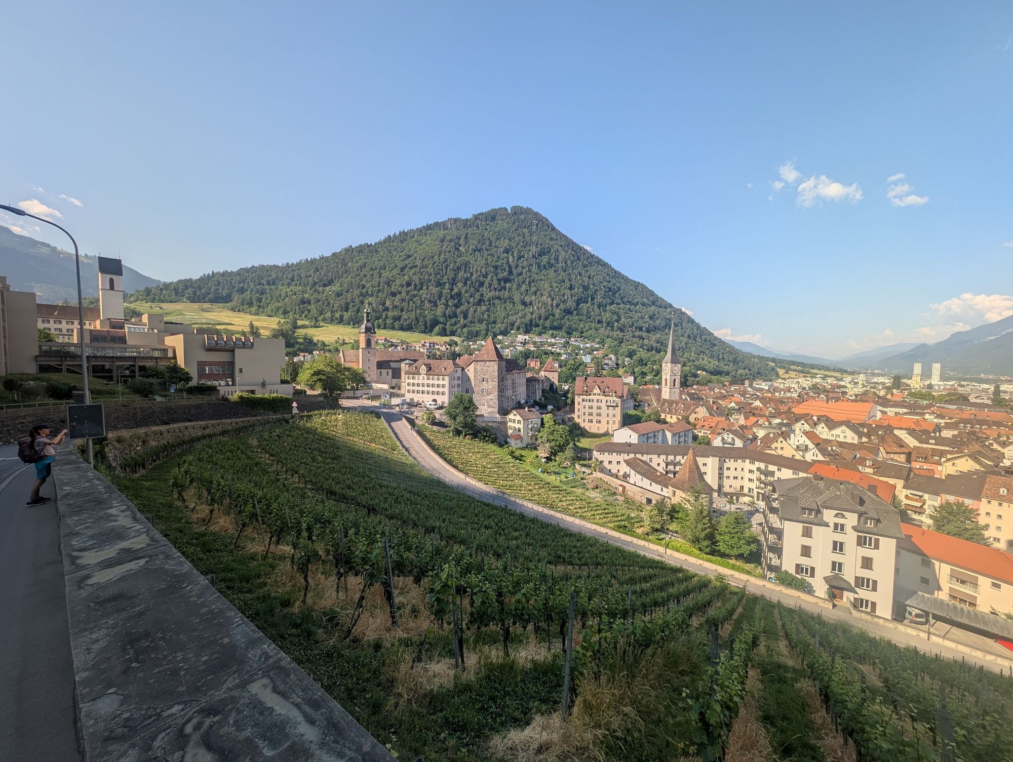
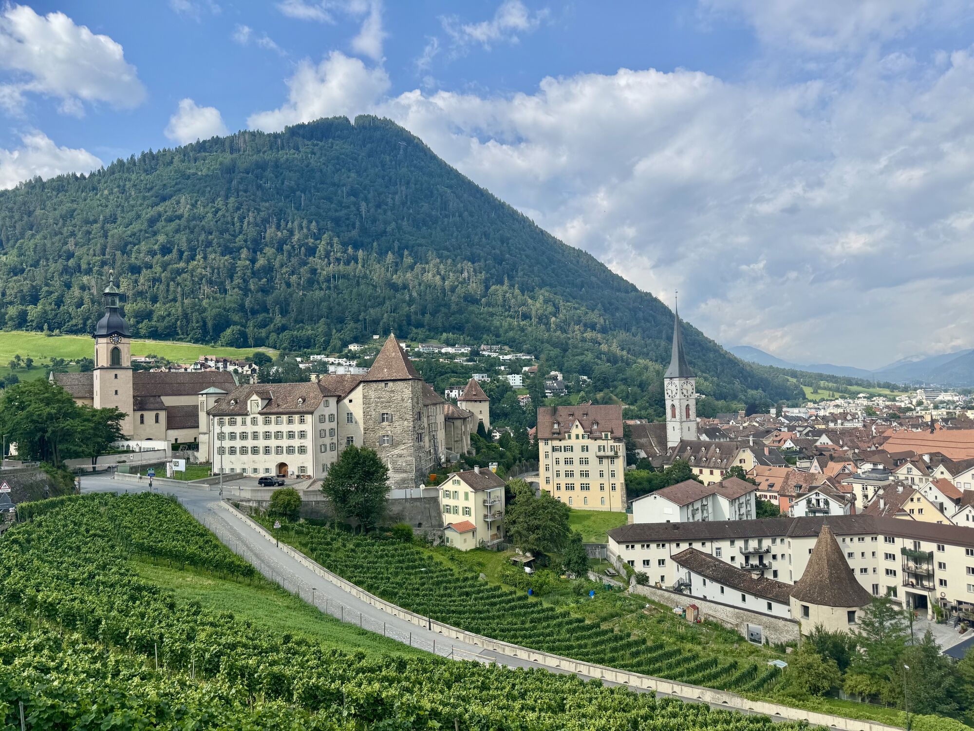
We start at the Bahnhofplatz in Chur. In the pedestrian zone around the station, we cycle along Bahnhofstrasse to Alexanderkreisel. We leave the bustling city life via Quaderstrasse. The gently ascending...
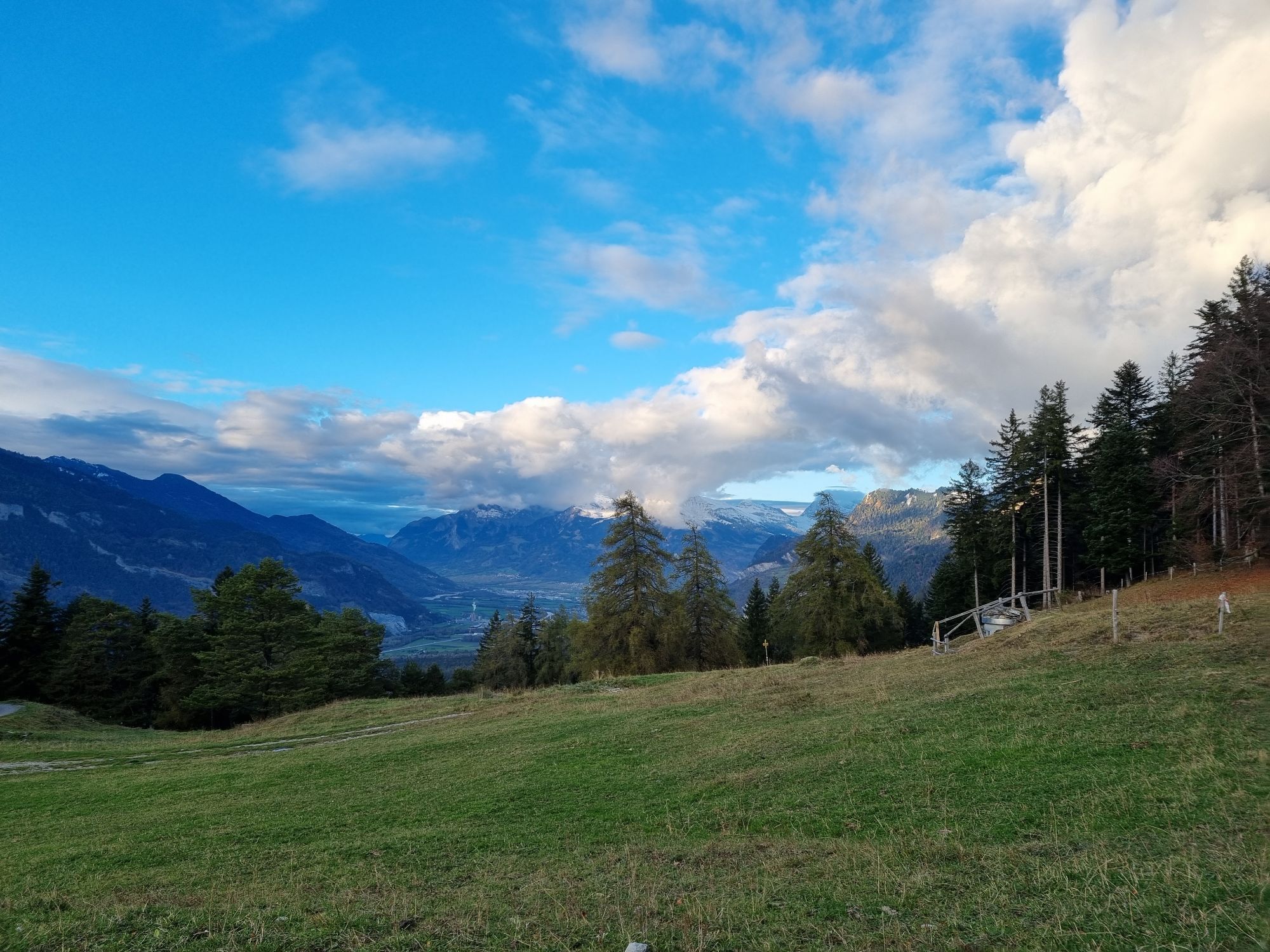
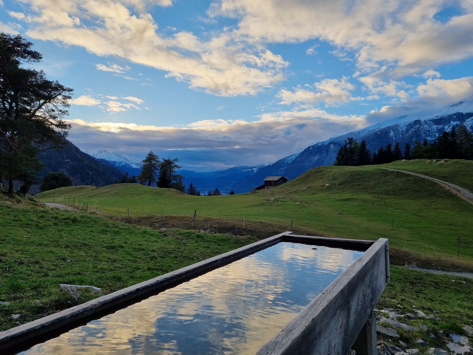
The Mittenberg is idyllically situated on a terrace in a large forest clearing. It offers a magnificent view of the Chur Rhine Valley and the Grisons mountains. No wonder the Mittenberg is a popular excursion destination for walkers, hikers, joggers and bikers.
The descent over the Vogelboden towards Lürlibad and over the Lärchenboden back to the town is somewhat narrower and rockier than the ascent, but it is easy to ride throughout. Those who prefer a gentler ride can return along the ascent route. And those who like it more technical will find several exciting single trails that lead back down into the valley.


Stay on the trail! Shortcuts damage nature and lead to illegal sections of trail.
Wear your armor! Helmet, protectors and bike gloves are standard equipment. You will also be glad to have sun and rain protection and something to drink.
Important emergency numbers are:
144 Emergency call, first aid 1414 Mountain rescue REGA 112 International emergency numberThe Bike Kingdom has a place for everyone. Be a bike knight and respect trail tolerance. Hikers and bikers share the trails and show consideration for each other.
Via the A13 to Chur
By train hourly from Zurich to Chur
Various parking options in Chur
S2
Perfect after-work round!

Oblíbené prohlídky v okolí
-
4.7
Tamina Gorge Circular Route
středníTuristika 14.0 km -
4.6
Pizalun circular route
světloTuristika 7.18 km -
4.8
Mountain hike to the Strudeltöpfe on Alp Mora: Bargis-Trin
heavyTuristika 18 km -
Arosa-Schwellisee-Älplisee-Parpaner Rothorn
Turistika 12.3 km -
4.5
Drachenloch
heavyTuristika 9.72 km -
4.7
Arosa-Hörnli-Parpaner Rothorn-Lenzerheide
Turistika 11.9 km -
5.0
Alp Sanaspans - Rothorn
heavyTuristika 13.6 km -
5.0
Arosa-Hörnli-Urdenfürrgli-Alp Scharmoin-Lenzerheide
středníTuristika 15.3 km -
5.0
Eichhörnliweg Arosa
světloTematická stezka 1.72 km -
3.0
From Vättis to the Walser settlement St. Martin
středníTuristika 8.03 km
Pěší turistika a stopování


Nenechte si ujít nabídky a inspiraci pro vaši příští dovolenou
Vaše e-mailová adresa byl přidán do poštovního seznamu.





