







Stams

Úroveň obtížnosti: S1
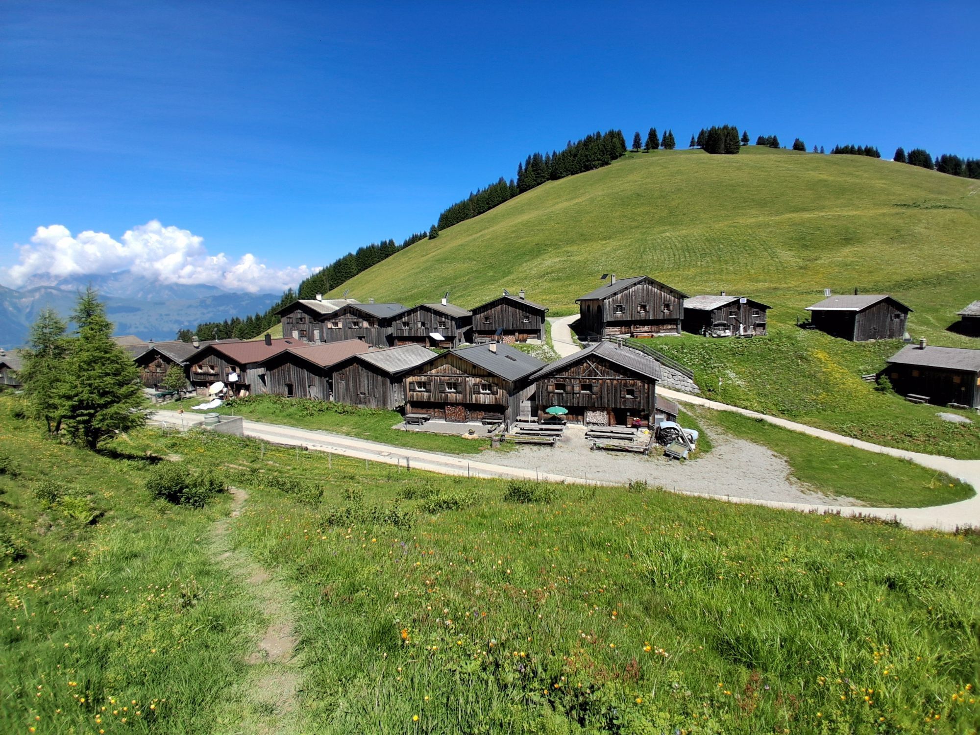
Varied bike route with a beautiful descent through the magnificent and wild Valzeina Valley. This variant is especially recommended here, as it offers further scenic as well as sporting highlights.
Varied bike route with a beautiful descent through the magnificent and wild Valzeina Valley. This variant is especially recommended here, as it offers further scenic as well as sporting highlights.

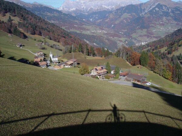
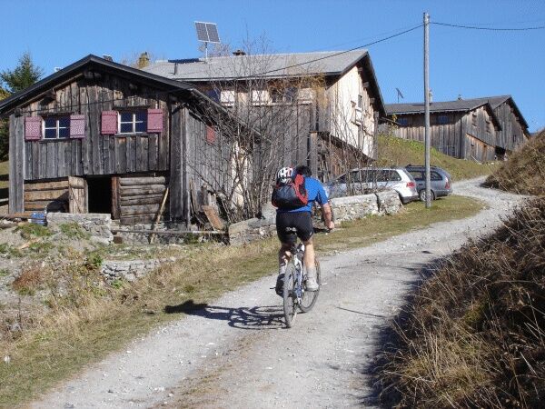
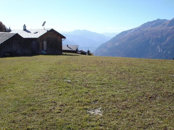
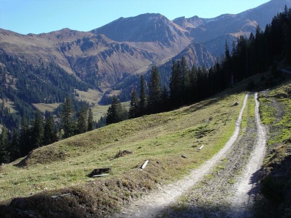
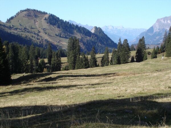
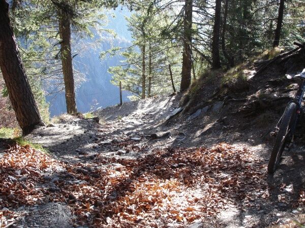
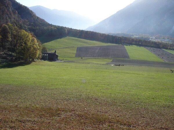

Landquart - Zizers - Trimmis - Says - Stams - Valzeina Valley - Landquart
Normal bike equipment. Functional clothing is advantageous as there are alternating climbs and descents.
Shooting range near Igis, possibly bypassing via Marschlins Castle.
Take the Landquart highway exit, then follow the main road signs towards Landquart station.
By train to Landquart. The circular route starts from Landquart station.
Public parking available at Landquart station (paid).
S1
Heidiland Tourism
Information center Bad Ragaz
T +41 81 300 40 20
www.heidiland.com
Webové kamery z prohlídky

Oblíbené prohlídky v okolí
-
4.7
Tamina Gorge Circular Route
středníTuristika 14.0 km -
4.6
Pizalun circular route
světloTuristika 7.18 km -
5.0
Malans-Jenins Wine Route
světloTuristika 10.3 km -
Vilan round tour
heavyTuristika 12.2 km -
4.7
Arosa-Hörnli-Parpaner Rothorn-Lenzerheide
Turistika 11.9 km -
5.0
Arosa-Hörnli-Urdenfürrgli-Alp Scharmoin-Lenzerheide
středníTuristika 15.3 km -
5.0
Eichhörnliweg Arosa
světloTematická stezka 1.72 km -
5.0
Spig - Pizalun
středníTuristika 12.0 km -
Haldensteiner Calanda
heavyTuristika 16.9 km -
Route of Wonders Tamina Gorge
středníTuristika 10.9 km
Pěší turistika a stopování


Nenechte si ujít nabídky a inspiraci pro vaši příští dovolenou
Vaše e-mailová adresa byl přidán do poštovního seznamu.





