







Calanda (hut) round tour

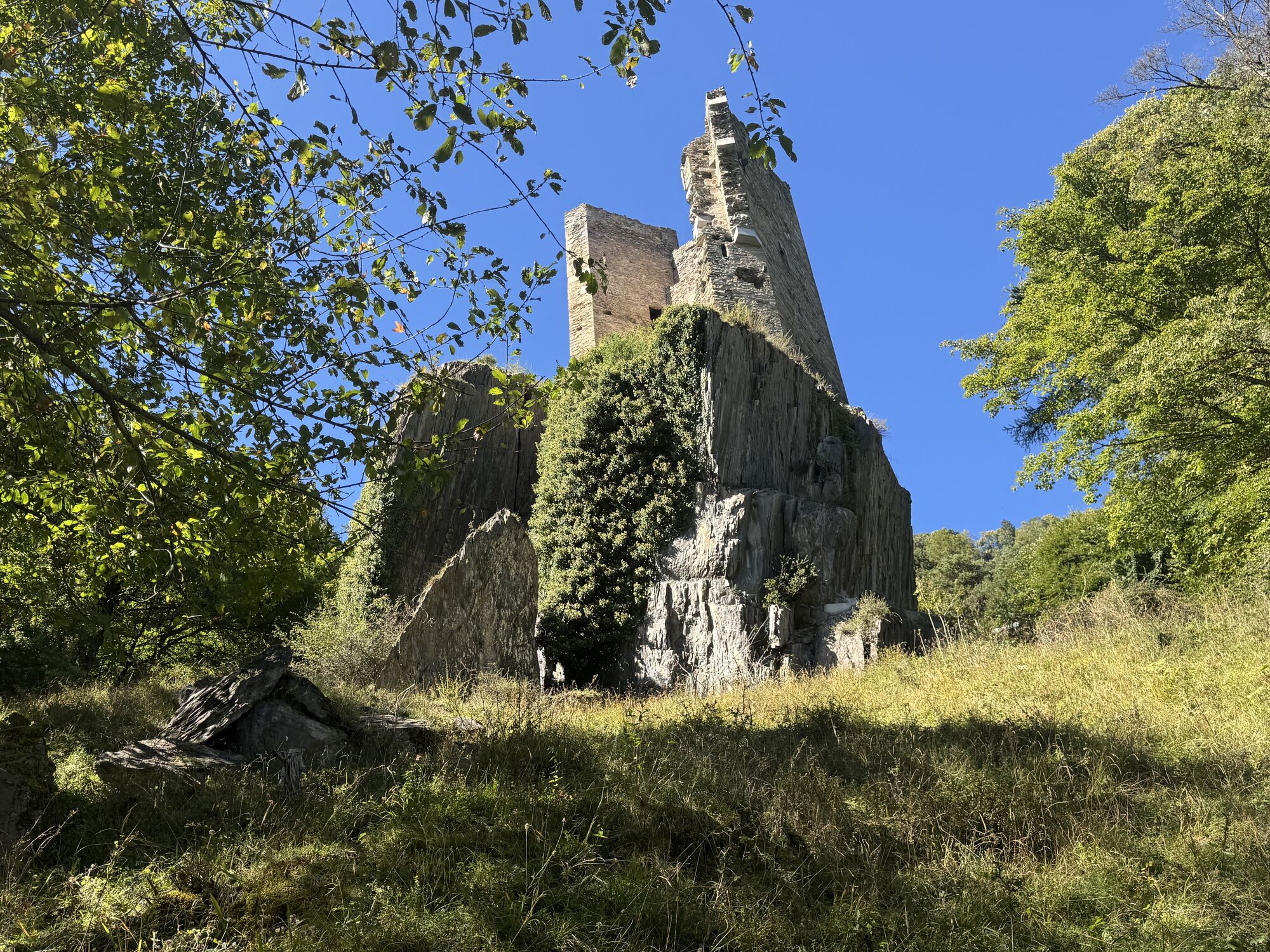
The Chur city bus no. 3 takes you to the starting point in the village of Haldenstein. Follow the well-marked path to the Calanda mountain hut. On the way up, you will pass by the alps of Arella and Nesselböden....
The Chur city bus no. 3 takes you to the starting point in the village of Haldenstein. Follow the well-marked path to the Calanda mountain hut. On the way up, you will pass by the alps of Arella and Nesselböden. Continuously walking up-wards you will reach the alp Altsäss. From there it's just 100 meters in height to the Calanda hut (2073 m.).
The optional, but well worth ascent to the Calanda peak (Haldensteiner Calanda, 2'805 m) means an additional 730 meters of height difference and appr. 2 hours walking time. Recommended with overnight in the Calanda hut and ascent at sunrise. On the Calanda peak you will enjoy fantastic panorama views. If you just walk as far as the Calanda hut, you can enjoy some food and drinks there before the way back.
For the descent walk southwards along to the Felsberger Älpli. The descent to Felsberg is leisurely at first, but continuously getting steeper while descending. Leave the village of Felsberg on the right hand side and follow the Rhine river for a short distance. After crossing the Rhine river walk through the Rossboden and at the P & R parking area Obere Au you can take the bus back into the city.

Oblíbené prohlídky v okolí
-
4.8
Tamina Gorge Circular Route
středníTuristika 14.0 km -
4.6
Pizol - Batöni - Weisstannen
heavyTuristika 11.7 km -
4.7
5-Seen Wanderung am Pizol
světloTuristika 10.1 km -
4.4
4-lake hike: Caumasee - Crestasee - Felsbach Gorge
heavyTuristika 13.3 km -
4.6
Pizalun circular route
světloTuristika 7.18 km -
4.7
Rhine Gorge Hike: Senda Ruinaulta (659)
světloTuristika 9.39 km -
4.8
Mountain hike to the Strudeltöpfe on Alp Mora: Bargis-Trin
heavyTuristika 18 km -
5.0
Circular hike Bettlerweg & 2-Lakes Hike Pizol
středníTuristika 11.4 km -
4.5
Pizol summit tour
středníTuristika 9.28 km -
5.0
Caumasee tour: Flims - Caumasee - Conn - Flims
světloTuristika 7.94 km
Pěší turistika a stopování


Nenechte si ujít nabídky a inspiraci pro vaši příští dovolenou
Vaše e-mailová adresa byl přidán do poštovního seznamu.





