







Juliana Trail (Breginj Basin) - stage 13C: Podbela - Kobarid
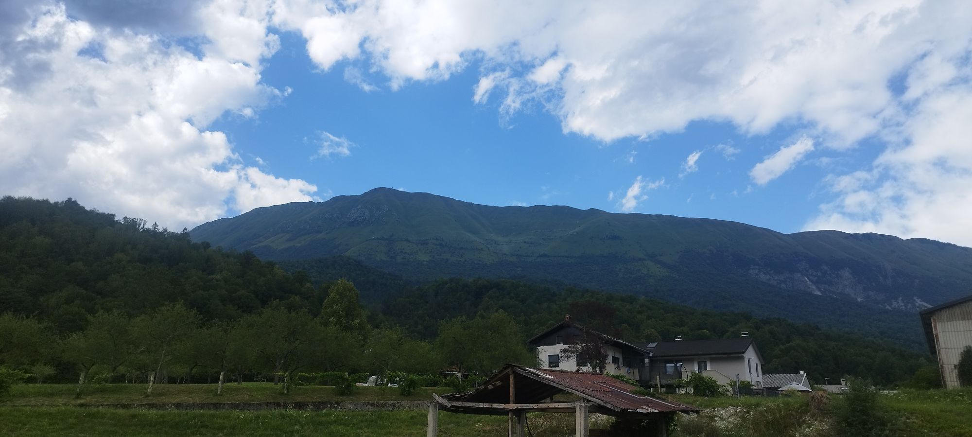
From Podbela, we set off to the Nadiža Camp in Podbela. Below the camp, we meet the Nadiža River and continue right by the river until a concrete section (where we turned uphill towards the village of...
From Podbela, we set off to the Nadiža Camp in Podbela. Below the camp, we meet the Nadiža River and continue right by the river until a concrete section (where we turned uphill towards the village of Potoki in stage 13A). This time we turn right, eastwards, and continue along the forest path to the concrete descent leading to the hanging wooden bridge. Here we can slightly extend the route, cross the Nadiža, and visit the church of St. Volar, the giants' rocks, or the basins of the Nadiža.
Then we continue eastwards, along the same path we walked in the first part of the Breginj Basin loop. We follow the signs to Kred and return on the same path past Staro Selo and Sužid to Kobarid.

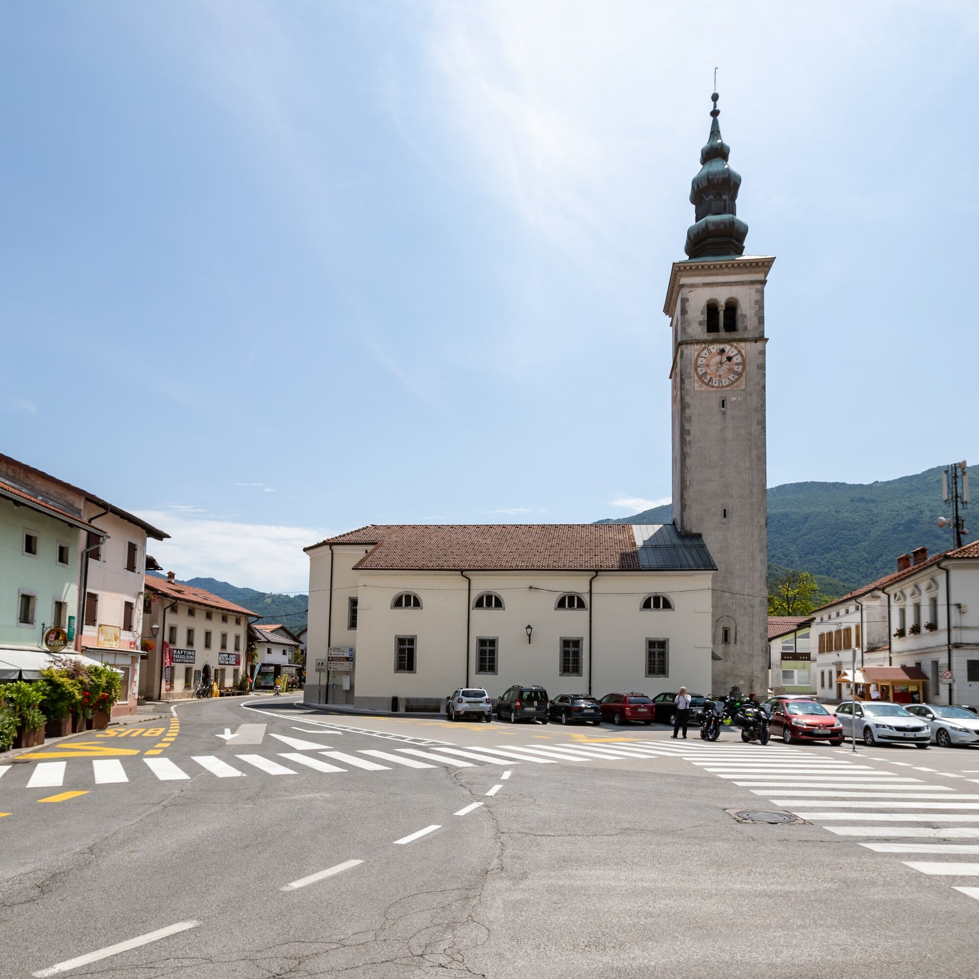
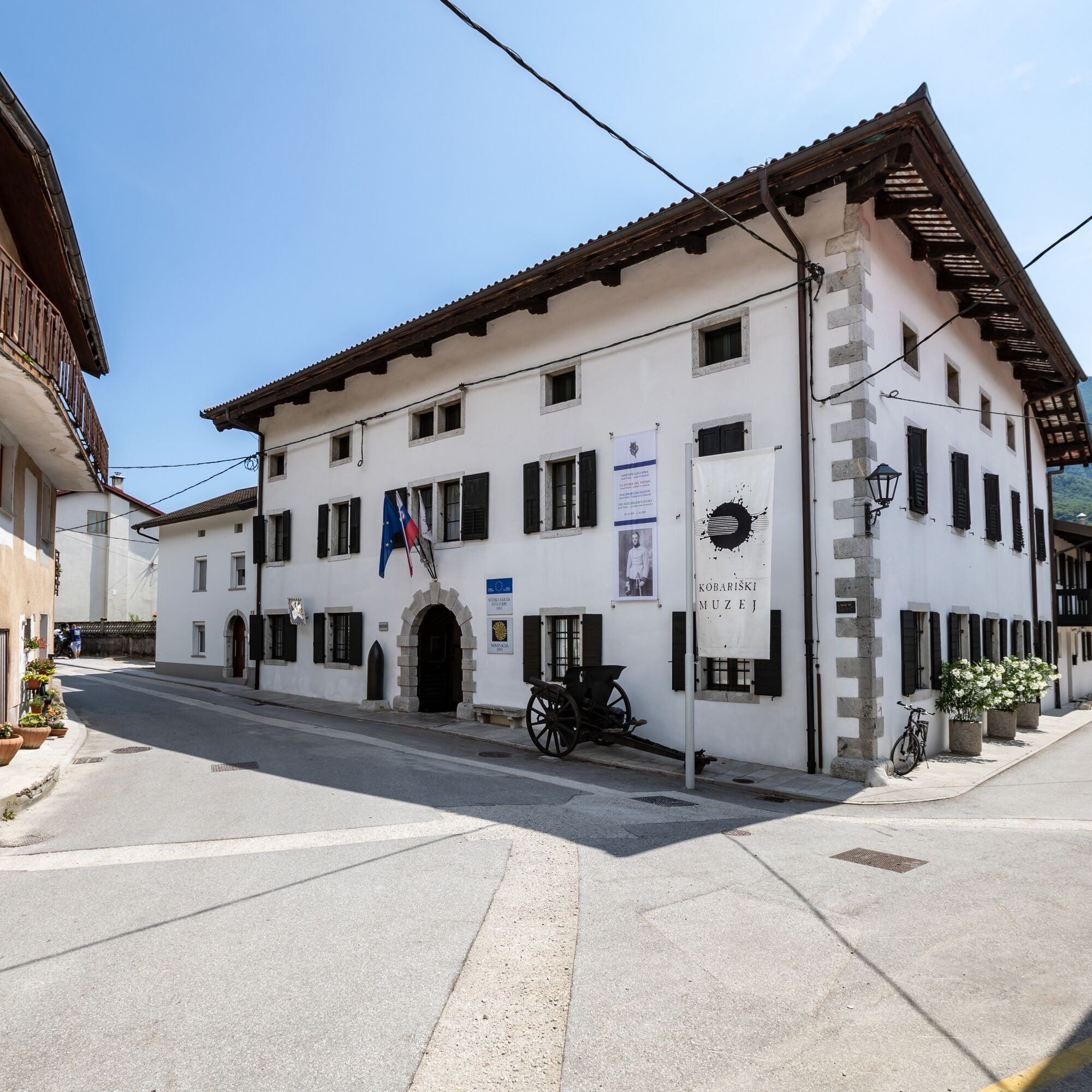

From Podbela, we head towards RobidišÄe to the Nadiža Camp in Podbela. Below the camp, we meet the Nadiža River and continue right by the river until the hanging wooden bridge near the village of Kred. Here we can slightly extend the route, cross the Nadiža, and visit St. Volar, the giants' rocks, or the basins of the Nadiža. Then we continue eastwards. Soon we reach the same path we already walked in the first part of the Breginj Basin loop. We follow the signs to Kred and return on the same path past Staro Selo, Sužid, and Svino to Kobarid.
There are no particular difficulties on the route. We must act appropriately according to the weather conditions. The path is not technically demanding.
All public connections – bus, train – to the starting point Kobarid.
In July and August, the Hop ON Hop OFF runs several times a day from Kobarid to the Breginj Basin.
There are no refreshments on the path; the first food and drink offer is at the Rut camp, near the village of Svino.
In the summer months, Bife Z'Der is also slightly off the route (near the popular swimming area by the Nadiža).
At the wooden bridge over the Nadiža near Kred, let’s take some time to explore the secrets of the Breginj Basin. We can visit the healing spring of St. Volar, the giants' rocks, and the basins of the Nadiža.
Získejte přehled Vždy živě na místě s více než 9 500 webkamerami. bergfex Jako uživatel Pro si nyní můžete zobrazit odpovídající webové kamery pro mnoho prohlídek v aplikaci prohlídky z. Můžete si tak přímo prohlédnout aktuální podmínky. Oblíbené prohlídky v okolí
- 4.6
Kozjak Wasserfall und Soča
světloTuristika 5.18 km - 4.0
Boka Wasserfall
středníTuristika 1.94 km - 3.3
Auf den Krn
středníTuristika 5.90 km - 4.7
Tarvisio - Gorizia: z hor na vinice (CX01)
středníCyklistika na velkou vzdálenost 155.8 km - 5.0
Prestreljenik Window (2390 m) – dramatic view of the Western Julian Alps
středníLyžařská trasa 14.5 km - 4.5
Entlang der Soca
světloTuristika 8.09 km - 4.7
Kamp Klin - Podklanec - Župnijska cerkev sv. Jožefa - Gostišče Andrejc
středníTuristika 12.8 km - 3.2
Slap Kozjak (Wasserfall)
světloTuristika 3.40 km - 4.0
Matajur
středníMountainbike 24.8 km - 4.7
Fort Hermann - Kirche St. Lenart
středníTuristika 10.2 km
Pěší turistika a stopování


Nenechte si ujít nabídky a inspiraci pro vaši příští dovolenou
Vaše e-mailová adresa byl přidán do poštovního seznamu.





