


Mount Sabotin Park of Peace
Úroveň obtížnosti: T1
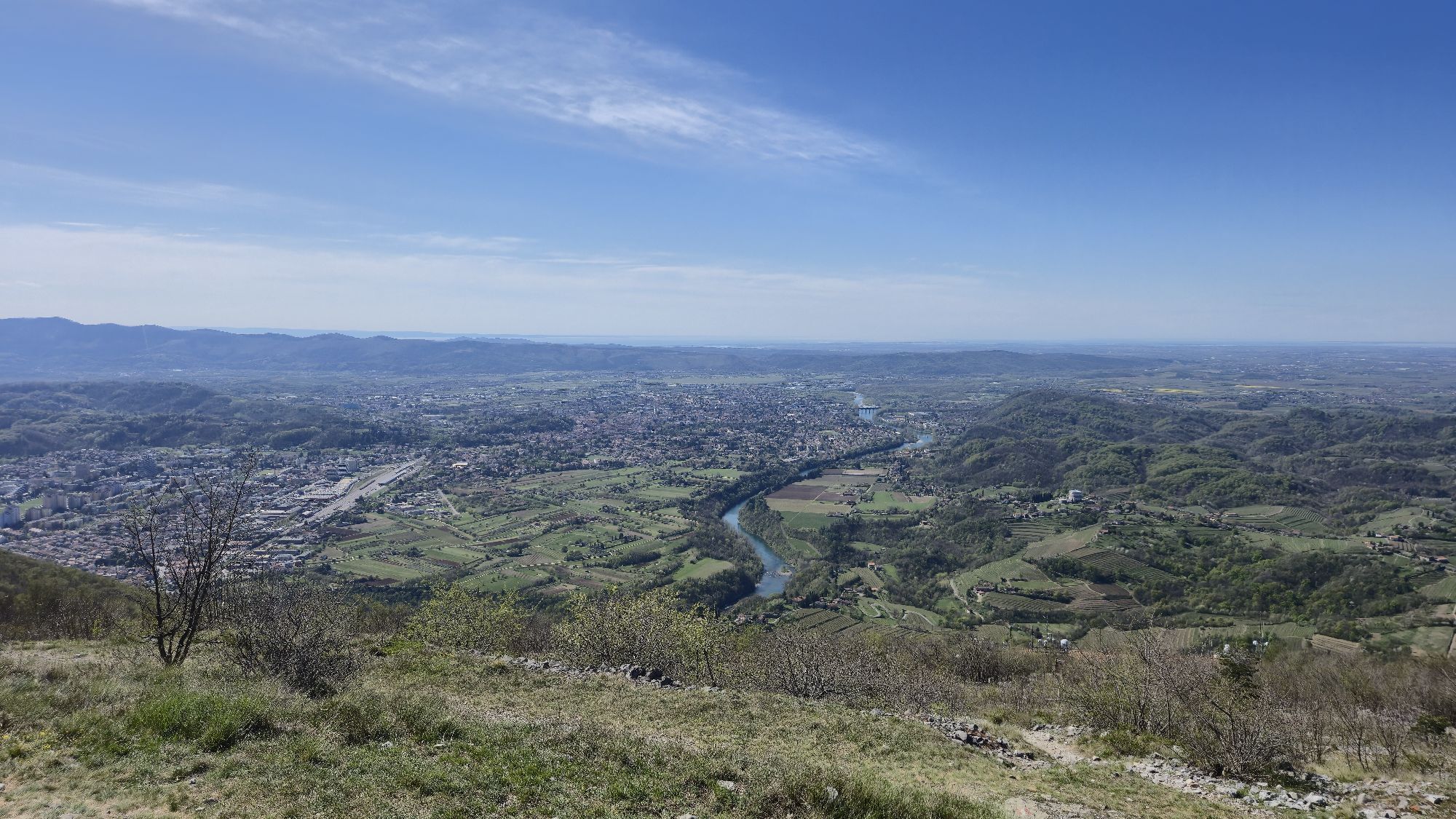


The Monte Sabotino Peace Park (Sabotin Park Miru in Slovenian) is a cross-border open-air museum between Italy and Slovenia, just a few kilometres north-east of Gorizia. Here, visitors can discover the...
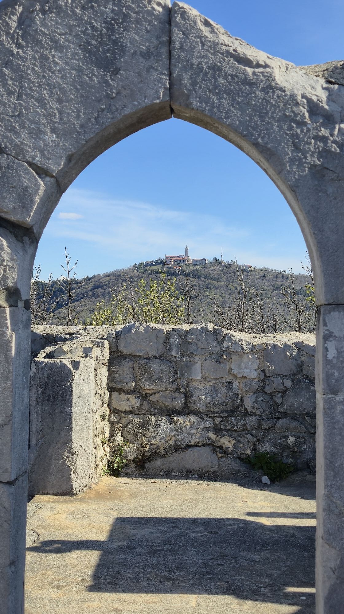
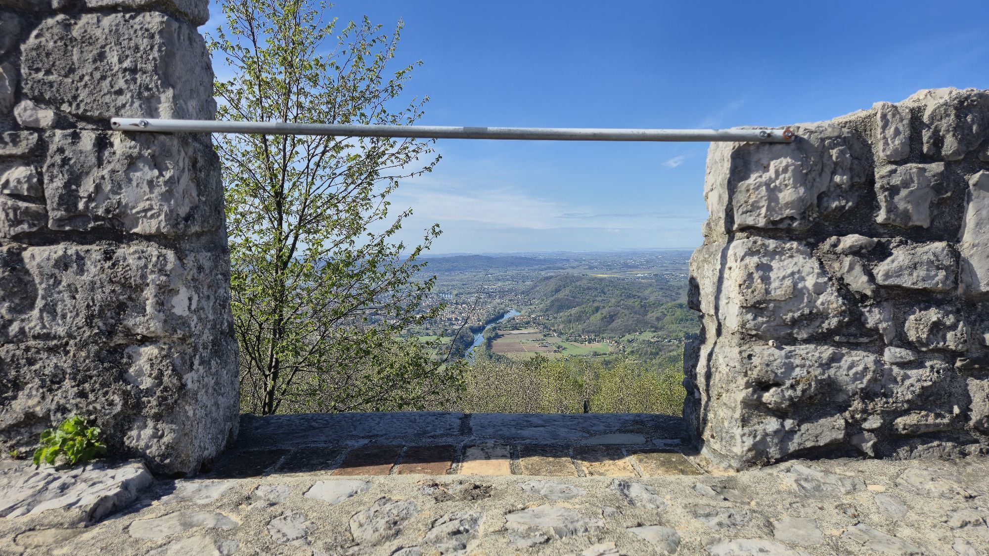
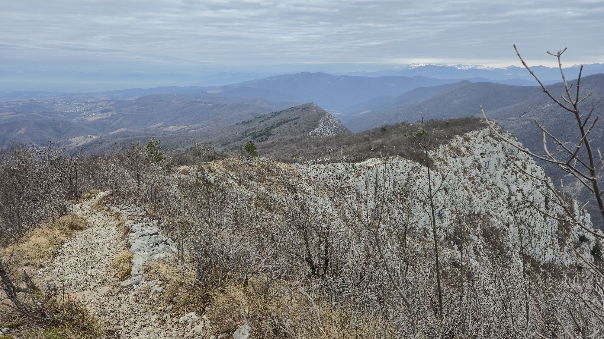
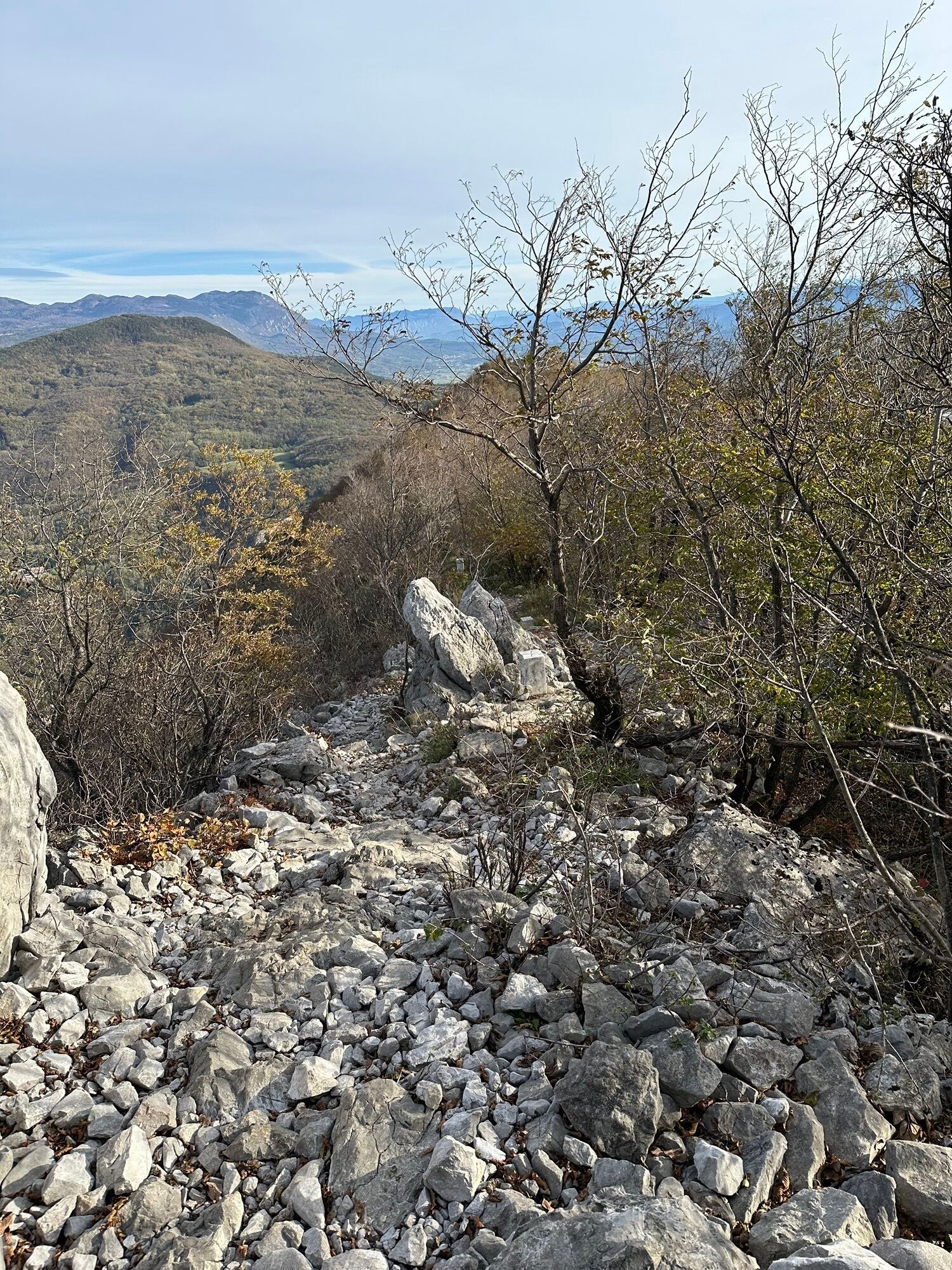
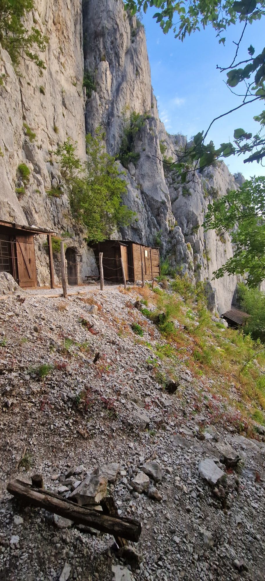
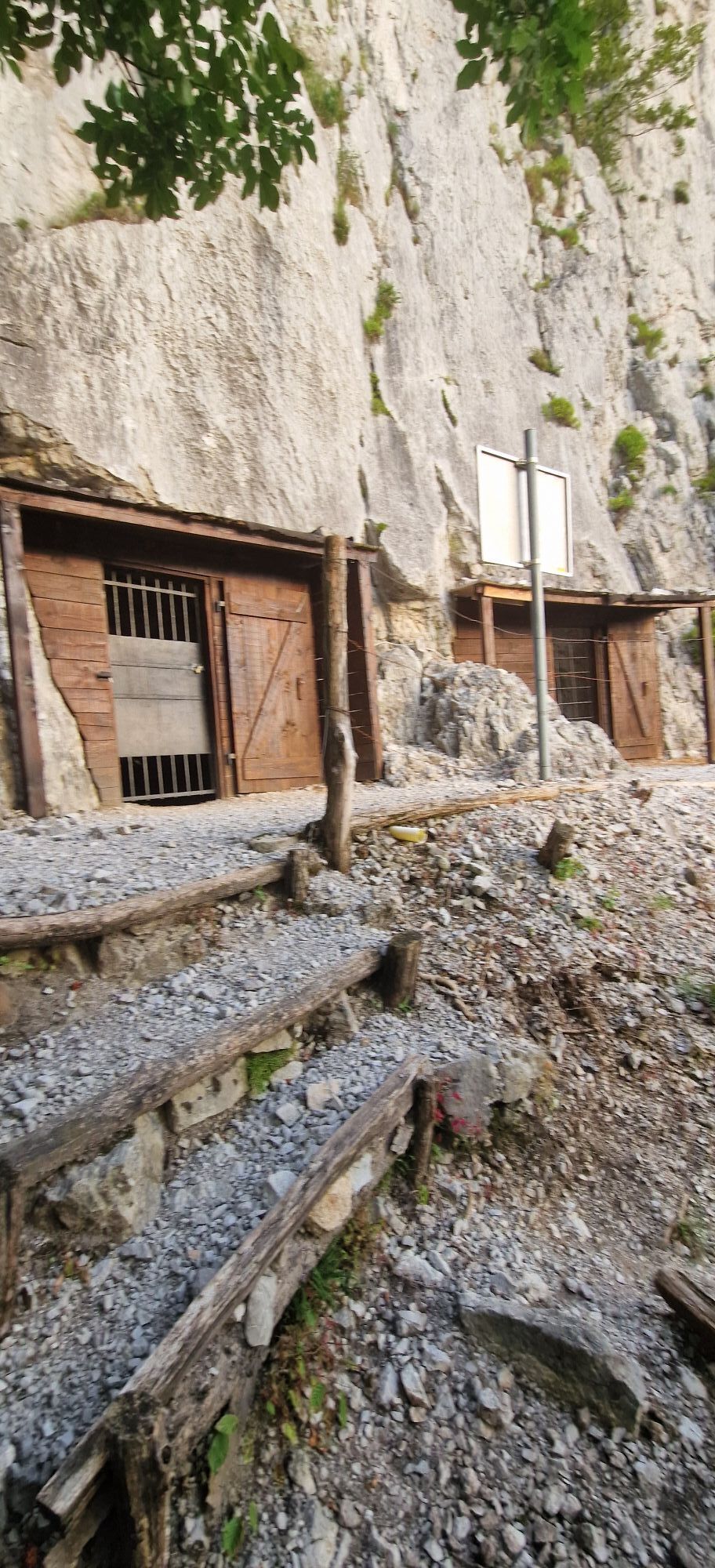
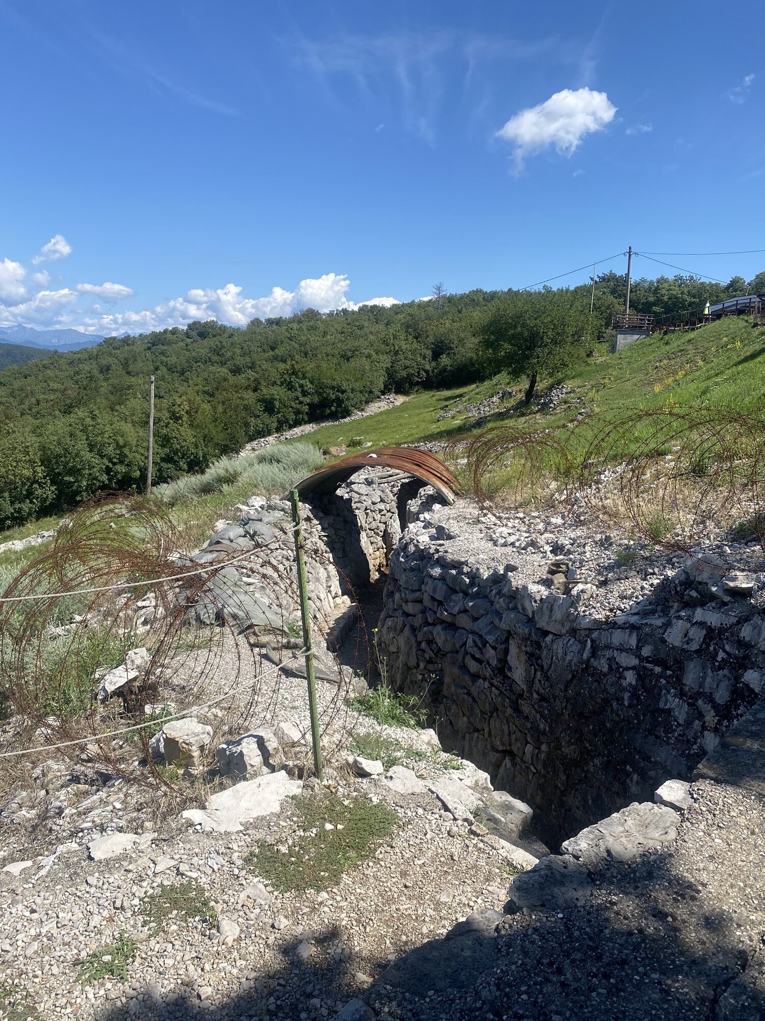
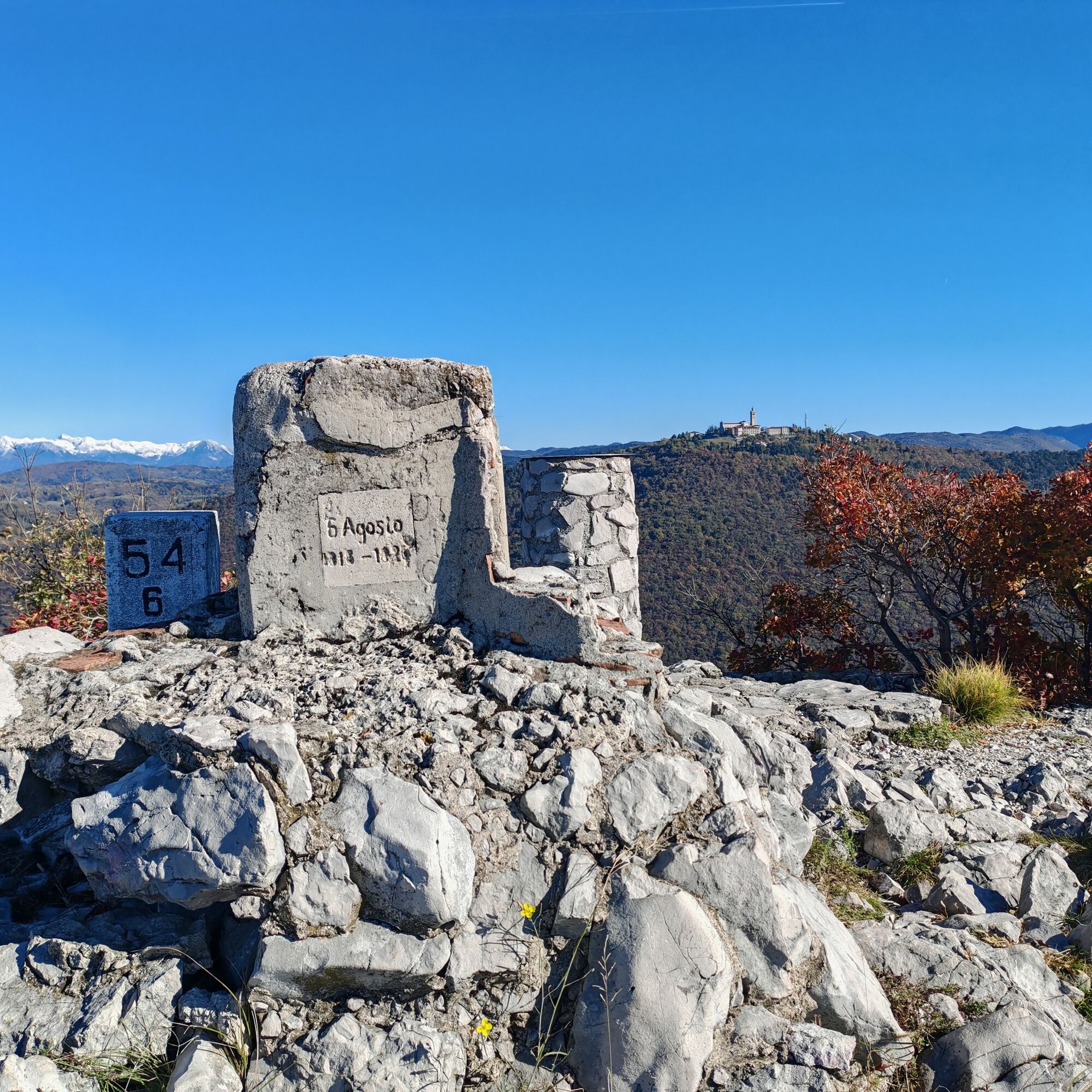
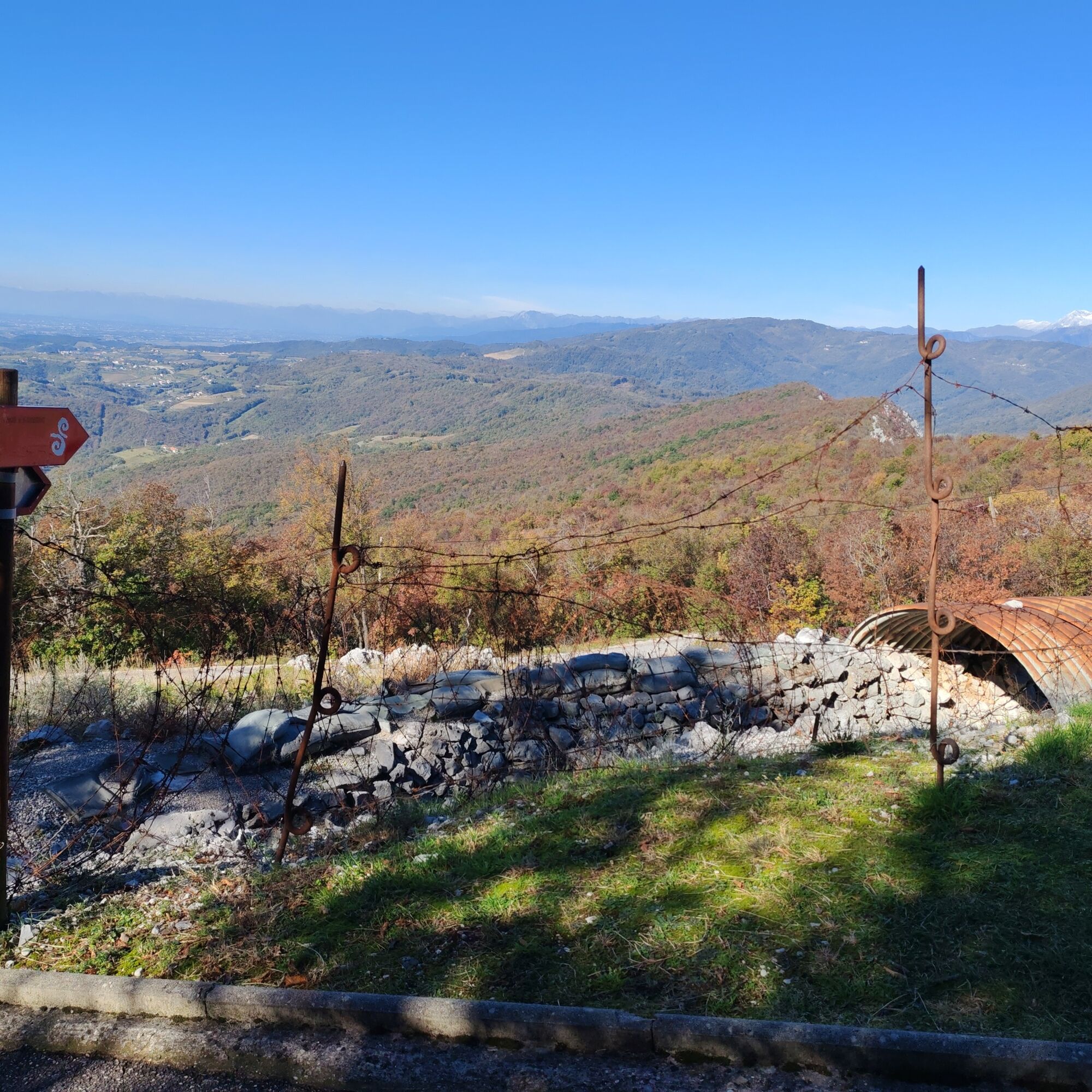
The area where the tunnels are located is now enriched by reconstructions of a cableway and soldiers’ barracks. Continuing along the ridge, visitors will encounter various trench works, Italian and Austro-Hungarian observation posts, and artillery positions. It is also possible to notice the many boundary stones marking the border drawn after the Second World War and, on the Italian side, several positions dating back to the Cold War.

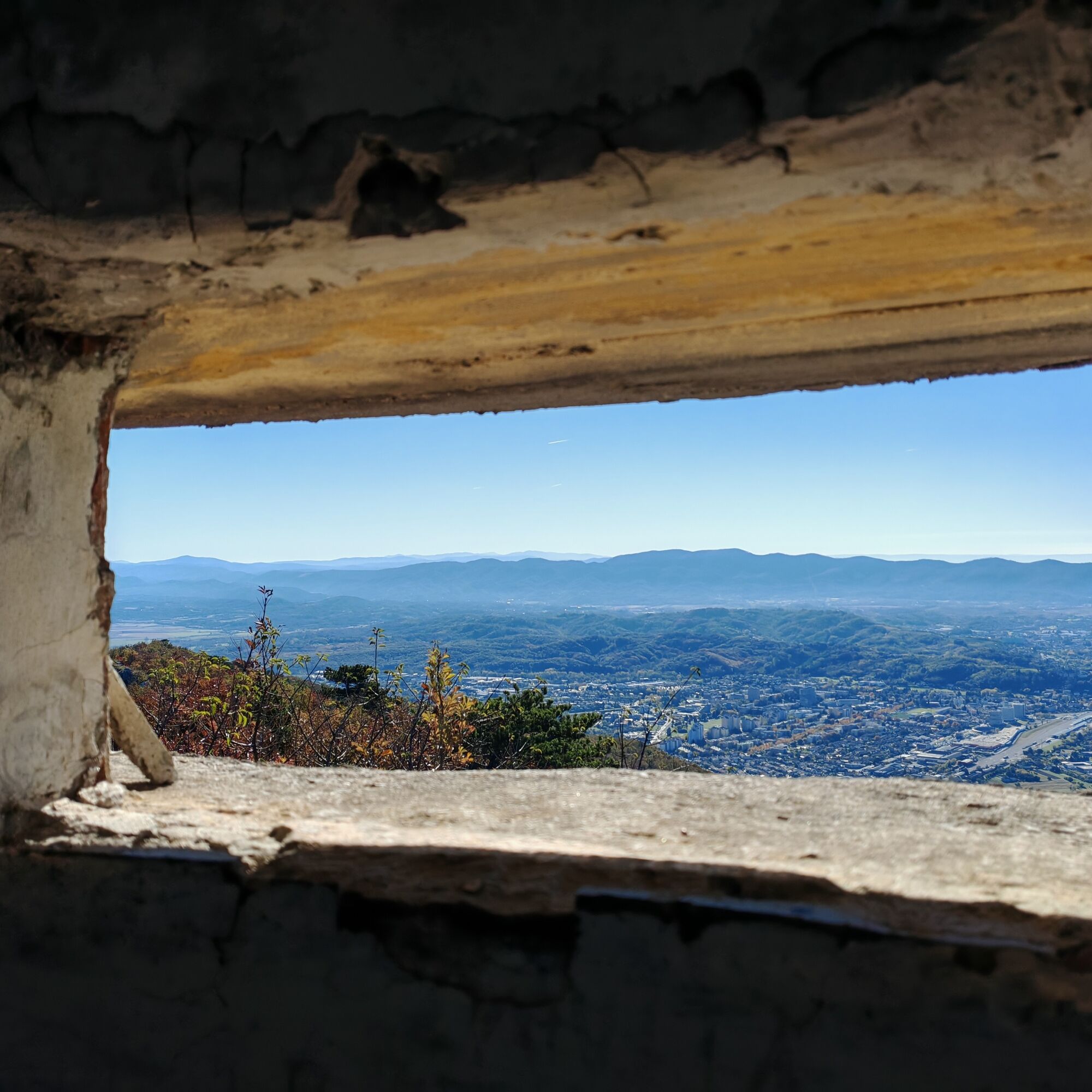
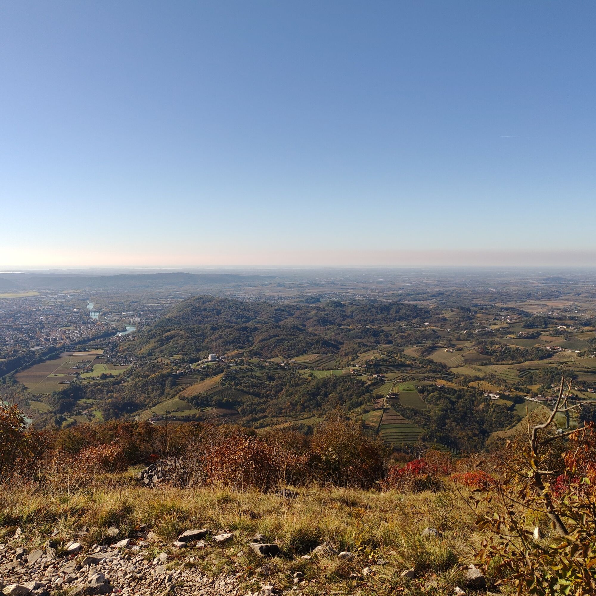
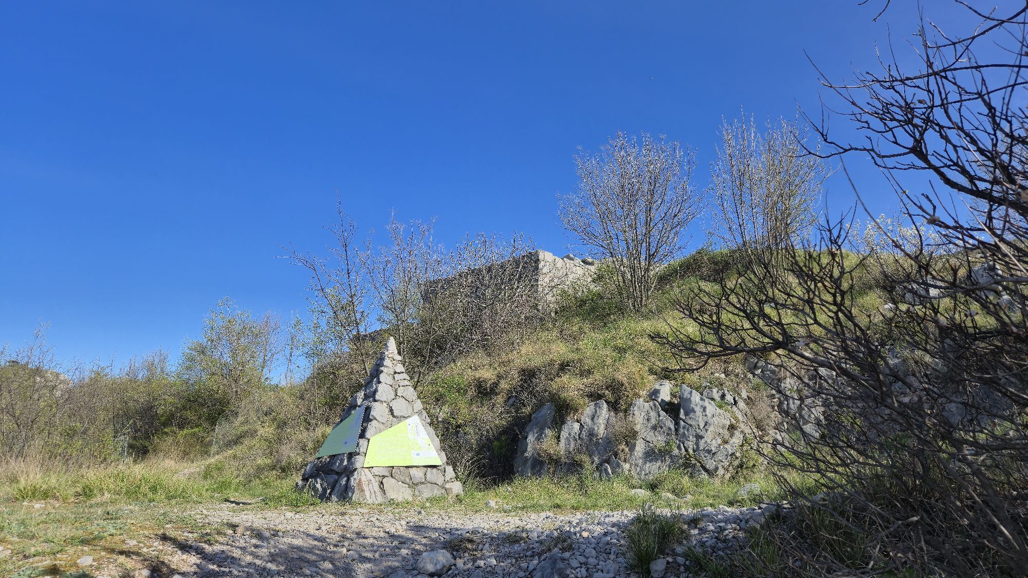
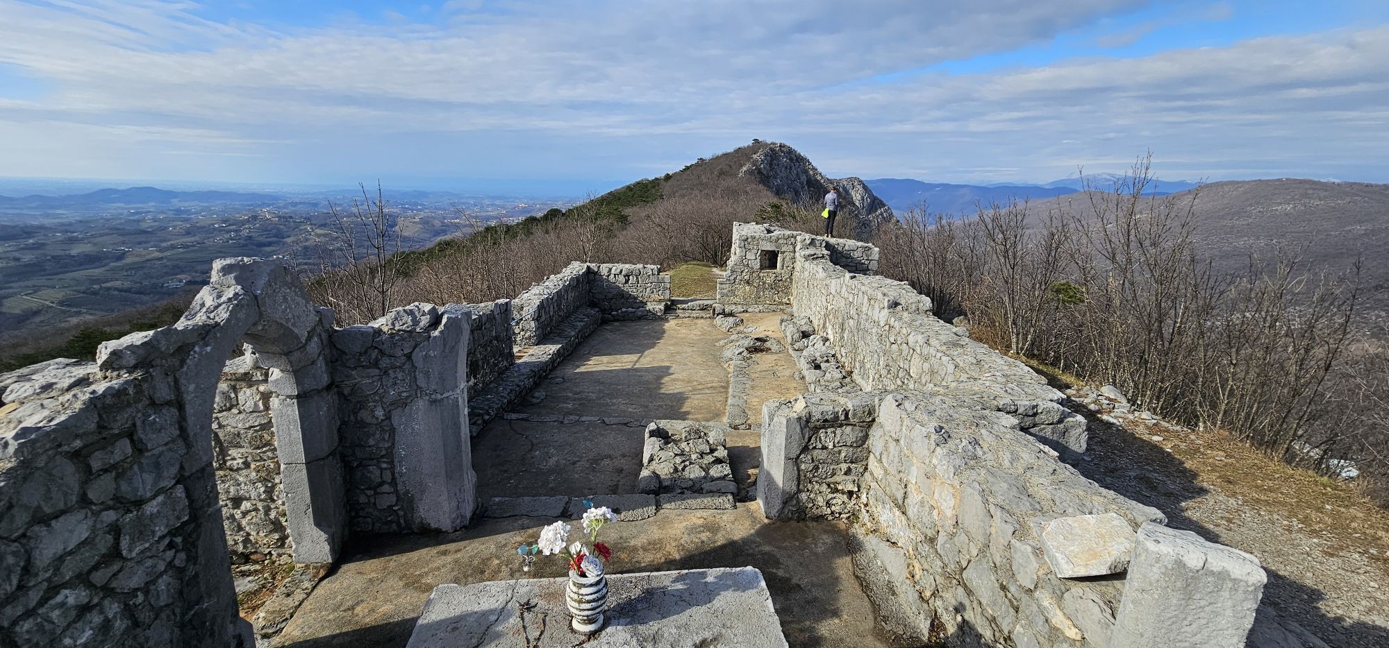
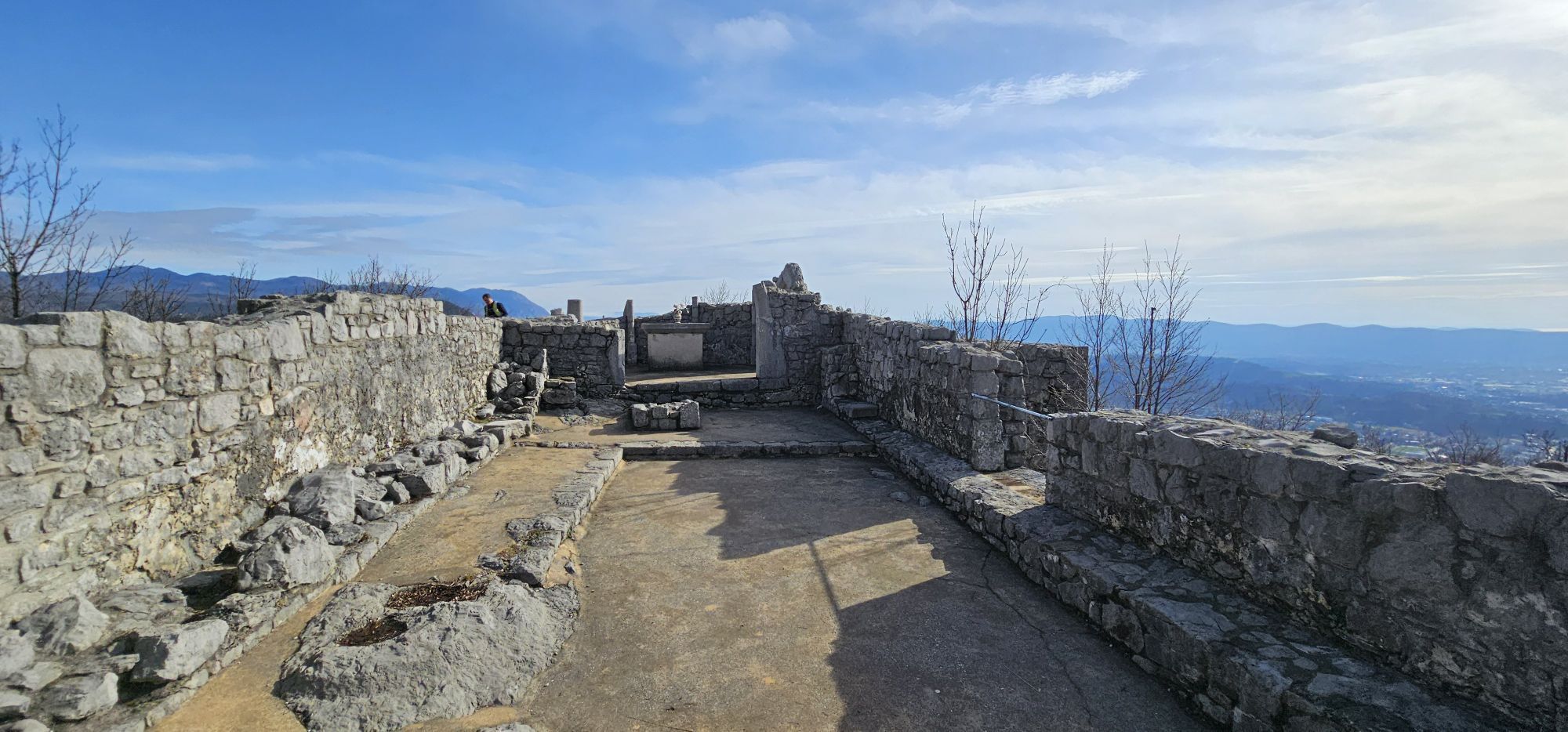
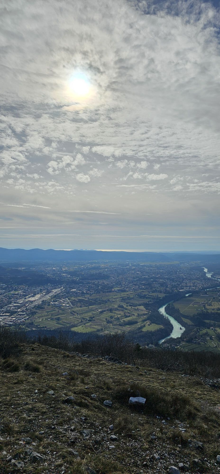
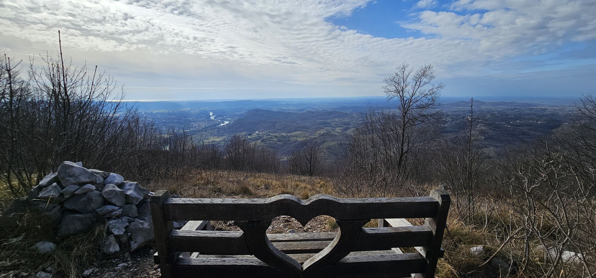
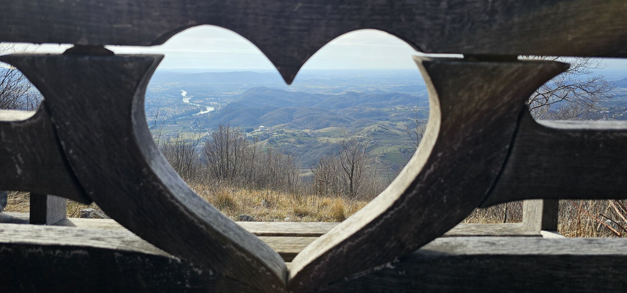
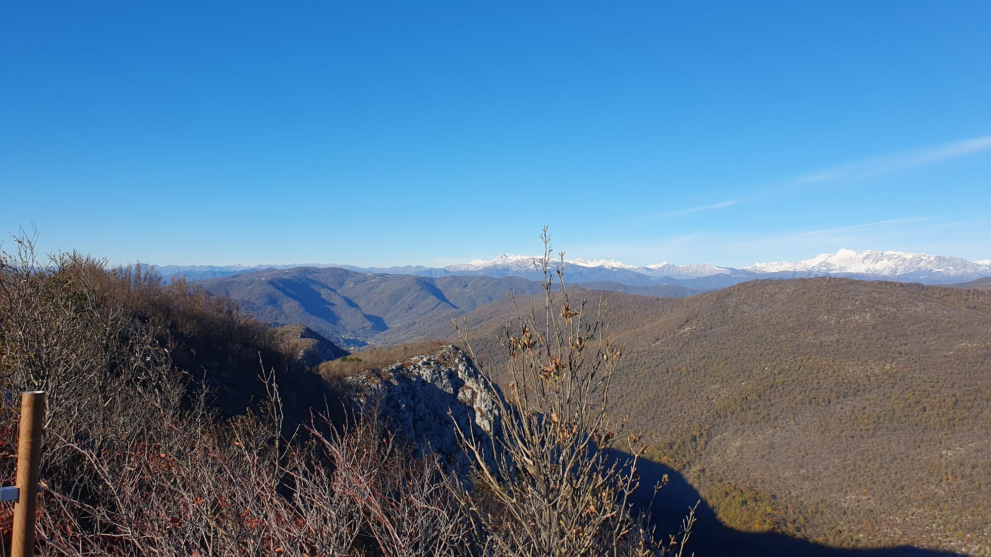
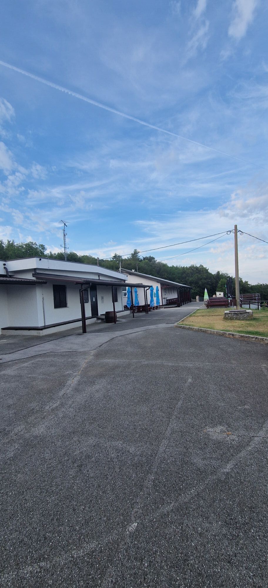
The start of the trail lies in Slovenian territory, east of the village of Gonjače. The entrance can be reached by car and is marked by a clearly visible stone pyramid, the symbol of the Park. Continuing by car along the road, you will come to two further pyramids, erected to commemorate the starting point of the Italian attacks that proved decisive in the conquest of Mount Sabotino. Beyond these pyramids, there is a large parking area where you can leave your vehicle and continue on foot. The circular route begins shortly before the mountain hut and leads behind it, where several tunnels can be seen together with reconstructed soldiers’ barracks and a cableway. It then continues along the ridge which, by always keeping straight on, leads to the summit of Sabotino and on to Quota San Valentino. Once here, the route proceeds along the Italian side. In this section, a long stretch is sheltered by vegetation. Continuing straight ahead, you reach a paved military road; follow it to the right until you come to the junction with CAI trail 097. Then continue uphill along CAI trail 097 until you pass the barracks building. Here you reach a fork: leave CAI trail 097 and take the path to the left, which leads back to the mountain hut where the route began. Those who decide to remain on the CAI trail instead will return to the summit of Sabotino.
Ano
Ano
Suitable sportswear, footwear appropriate for uneven ground and trekking poles are recommended. Visitors are also advised to bring an adequate supply of water.
This route has long stretches without shade; it is not recommended to undertake the excursion during the hottest hours of the summer months.
The starting point of the route can be reached by car by driving along the Slovenian side of the mountain.From the A4 motorway, take the Villesse–Gorizia exit and follow the signs for the centre of Gorizia. At the roundabout, take Via Trieste and after 250 metres turn right into Via Terza Armata, continuing straight ahead as far as the former Casa Rossa border crossing. Once in Slovenia, continue straight along road 444 Vipavska Cesta, then after 130 metres turn right and enter the roundabout, taking the second exit onto Vojkova Cesta (road no. 103) towards Nova Gorica. Stay on this road, which bypasses the town centre, and continue as far as the traffic-light junction with signs for Solkan. Turn left and after a few metres turn right, crossing the bridge over the Isonzo and joining road 402 towards Pod Sabotin. Continue for 11 kilometres through the villages of Hum and Kojsko. Once in Gonjače, turn right onto road 612 towards Plava until you reach the junction with the start of the Peace Park (2 kilometres; monument at the entrance on the right). Continue for about 7 kilometres along an unpaved road to the mountain hut.
Large parking area available before the mountain hut on Mount Sabotino.
T1
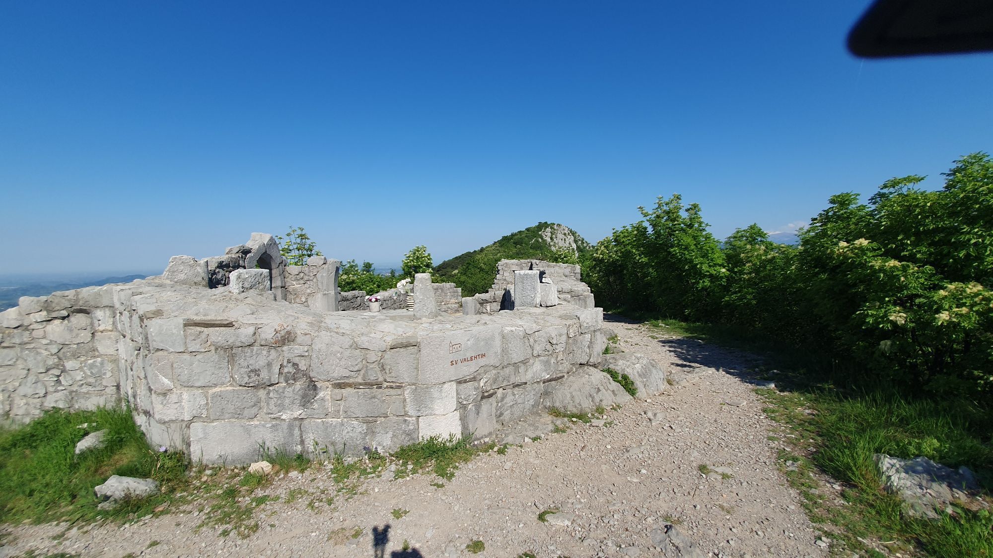
At the end of the route, it is recommended to explore the trench sections, partly reconstructed, located near the arrival point.
Oblíbené prohlídky v okolí
- 3,7
Trail to the natural stone bridge Skozno
světloTuristika 5,62 km - 4,0
Rundgang von Cormons
světloTuristika 7,31 km - 4,7
Etappe 30 Alpe-Adria-Trail: Breg bei Golo Brdo - Šmartno
střednídálková pěší trasa 27,4 km Trasa Gorizia - Kanal (SLO) (P004)
středníCyklistika na velkou vzdálenost 22,2 kmCollio - Brda Ring (R014)
středníCyklistika na velkou vzdálenost 60,6 kmSOČA VALLEY I6: Kanal - Most na Soči
středníJízda na kole 14,5 kmCividale del Friuli - Gorizia (C304)
středníCyklistika na velkou vzdálenost 39,4 kmCyklostezka - Brda, Vipavské údolí, Kras
heavyJízda na kole 93,3 kmStezka Vigne Alte: kompletní smyčka s Pradisem, Spessou a Subidou
středníTuristika 14,0 kmJULIANA TRAIL – stage 20: Šmartno - Solkan
heavyTuristika 13,3 km
Pěší turistika a stopování


Nenechte si ujít nabídky a inspiraci pro vaši příští dovolenou
Vaše e-mailová adresa byl přidán do poštovního seznamu.