


GORIŠKA BRDA E1: Šmartno – Plave
Úroveň obtížnosti: 2
Fotografie našich uživatelů
-
 © neiwoVytvořeno dne 17.09.2025
 -

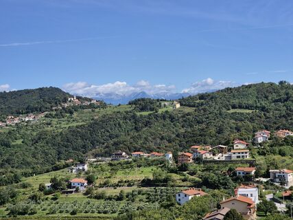
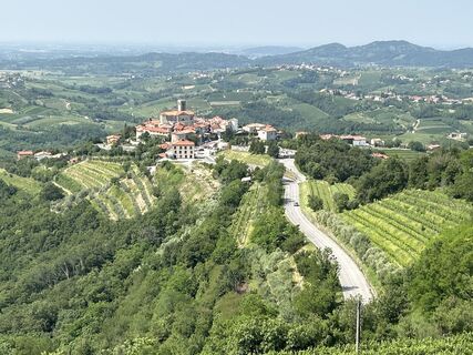
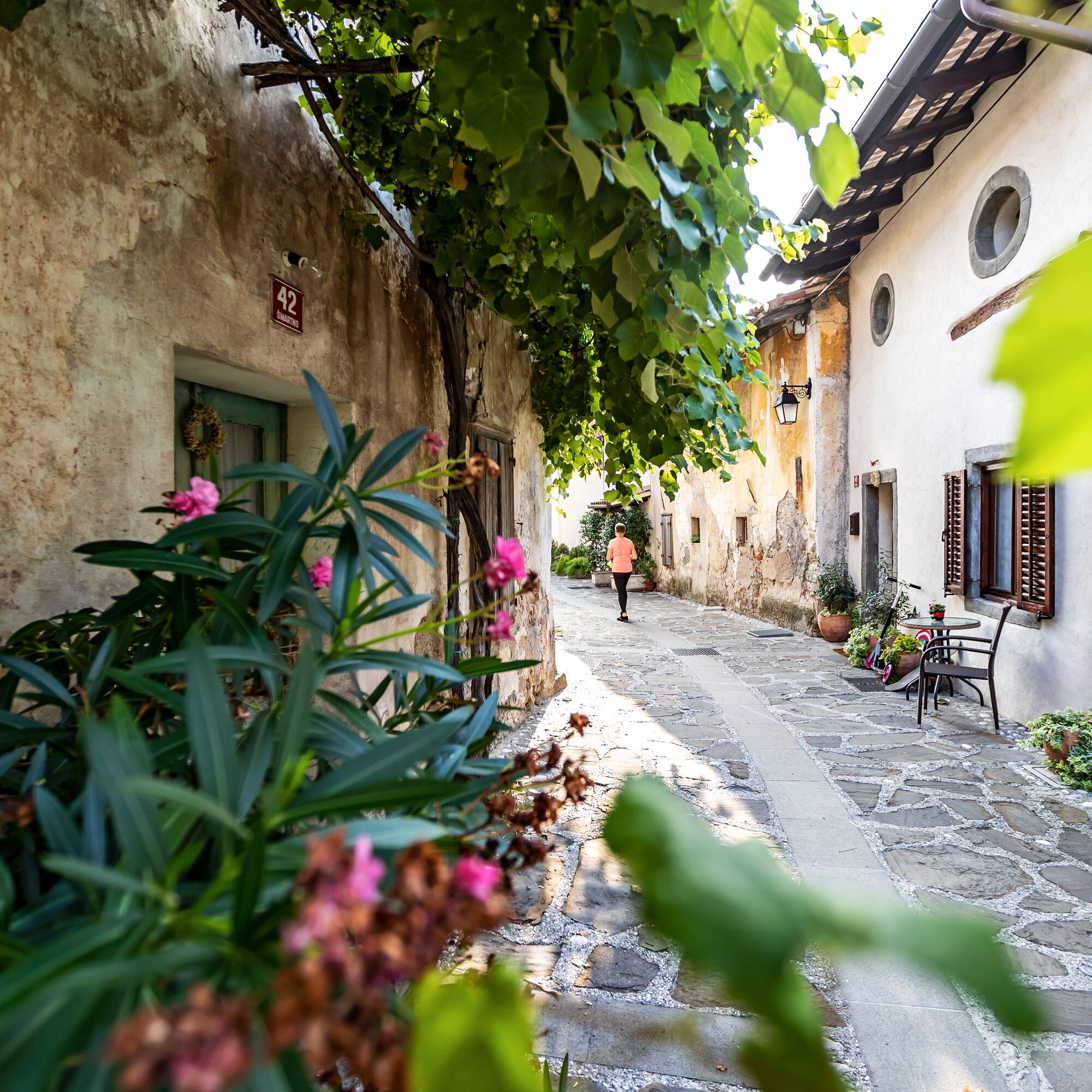
 © Gianberto ZilliVytvořeno dne 03.09.2025
 -
 © Gianberto ZilliVytvořeno dne 03.09.2025
 -

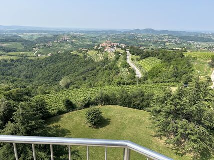
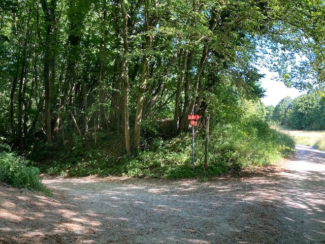
 © BBVytvořeno dne 12.06.2025
 -
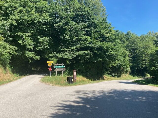
 © BBVytvořeno dne 12.06.2025
 -
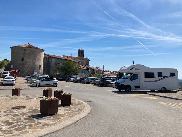
 © BBVytvořeno dne 12.06.2025
 -
 © BBVytvořeno dne 12.06.2025
 -

 © Utassy Tóth JohannaVytvořeno dne 30.05.2025
 -
 © Franca ŠkarjaVytvořeno dne 08.04.2026
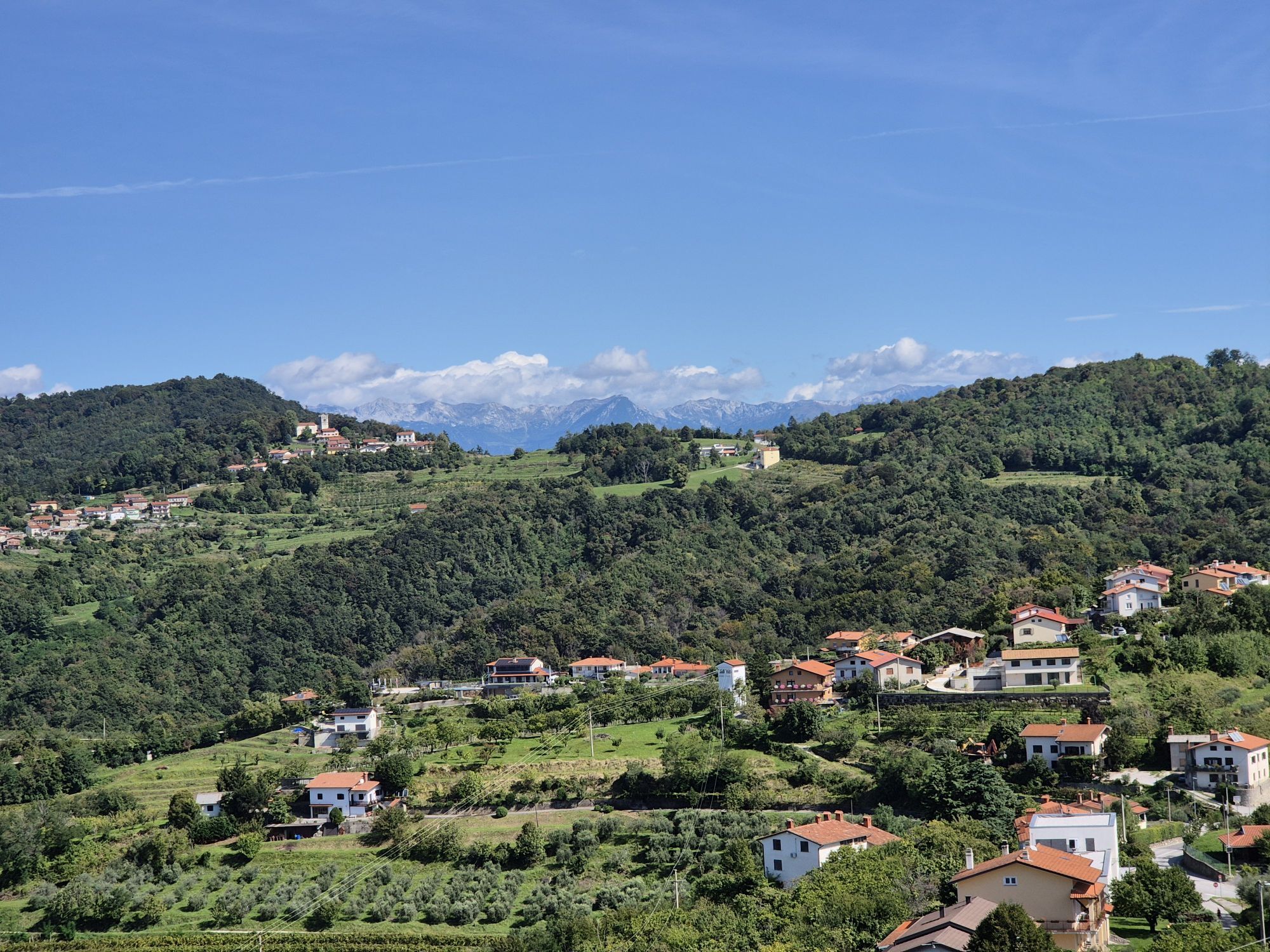
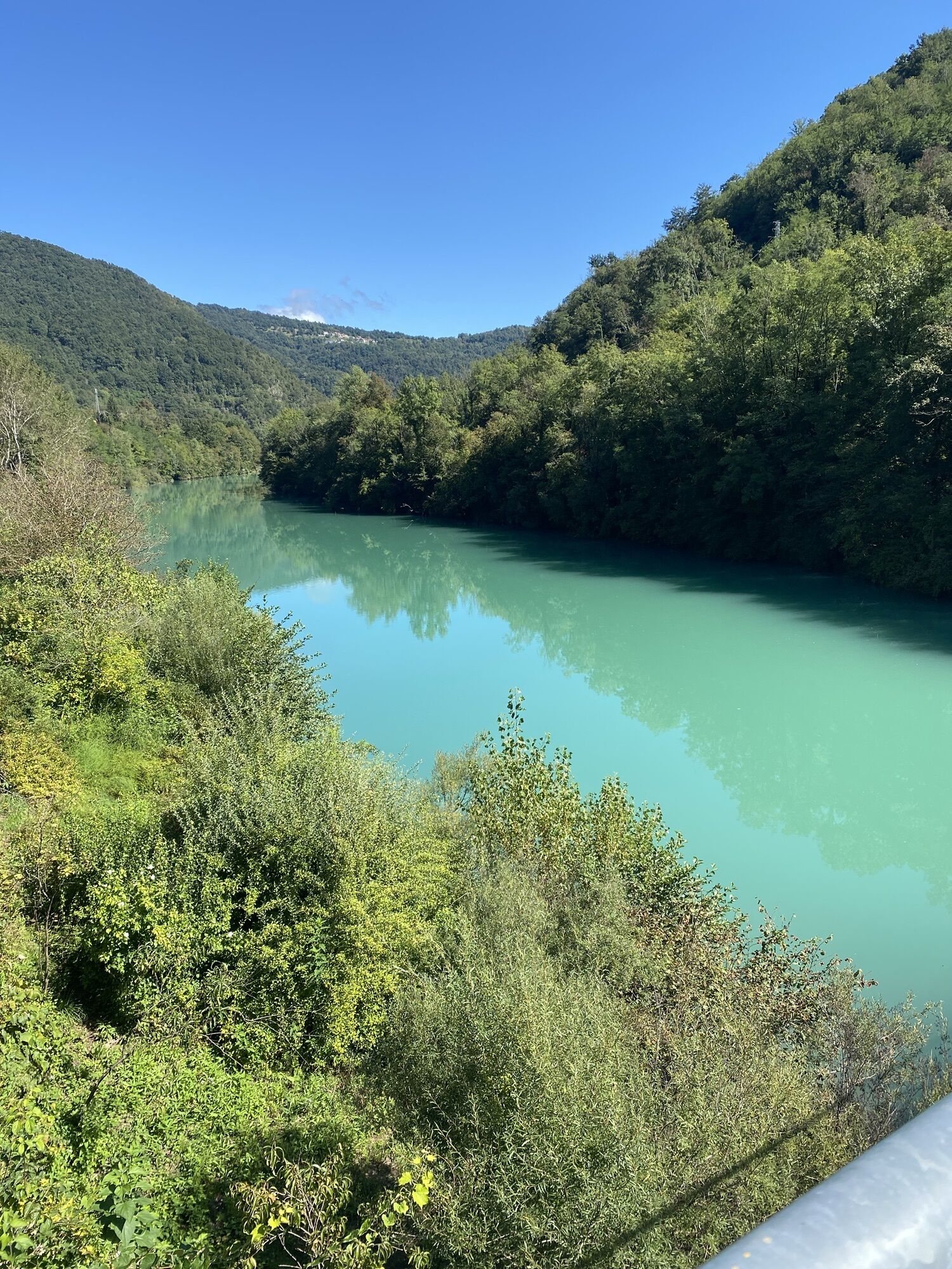
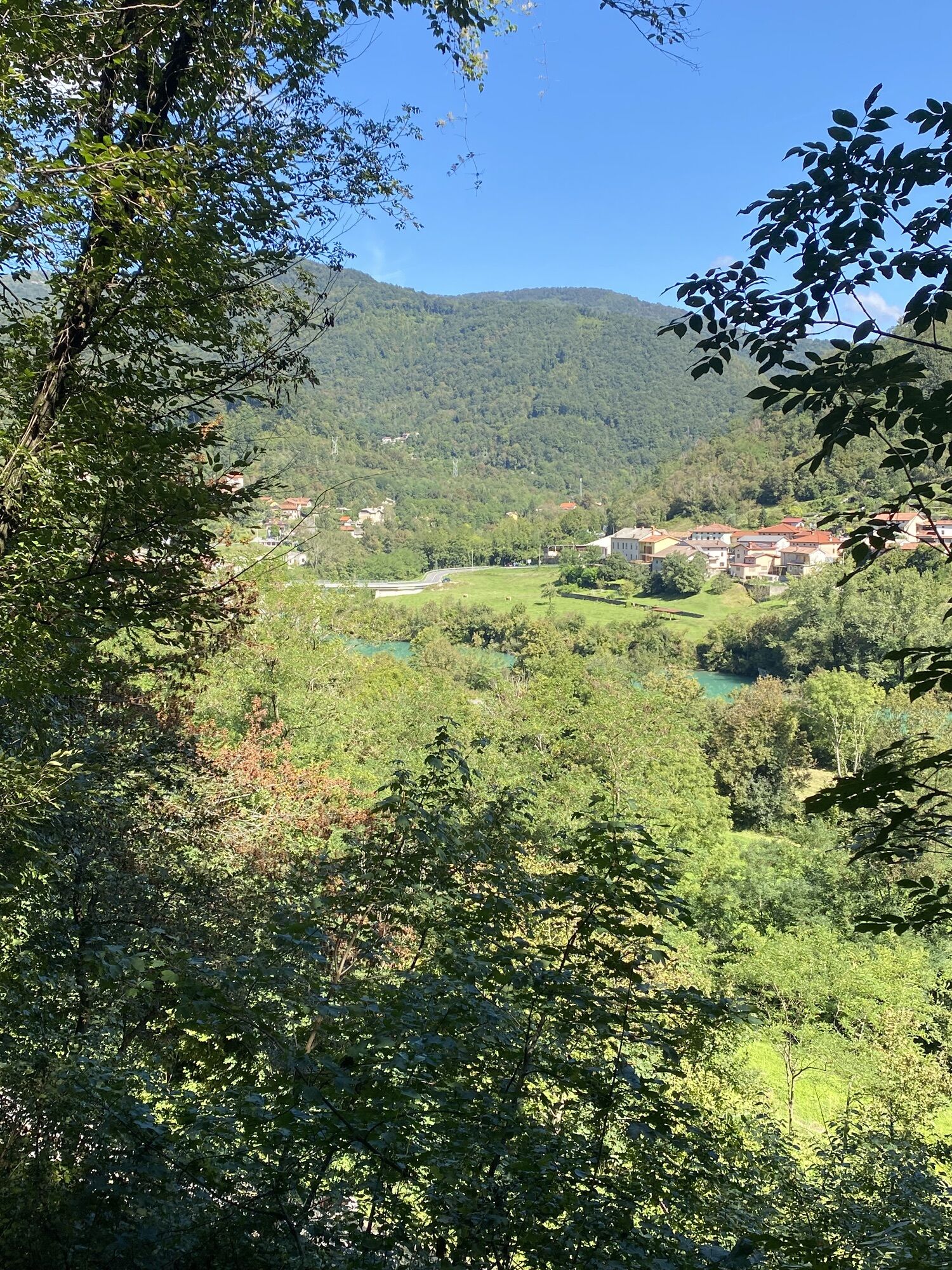
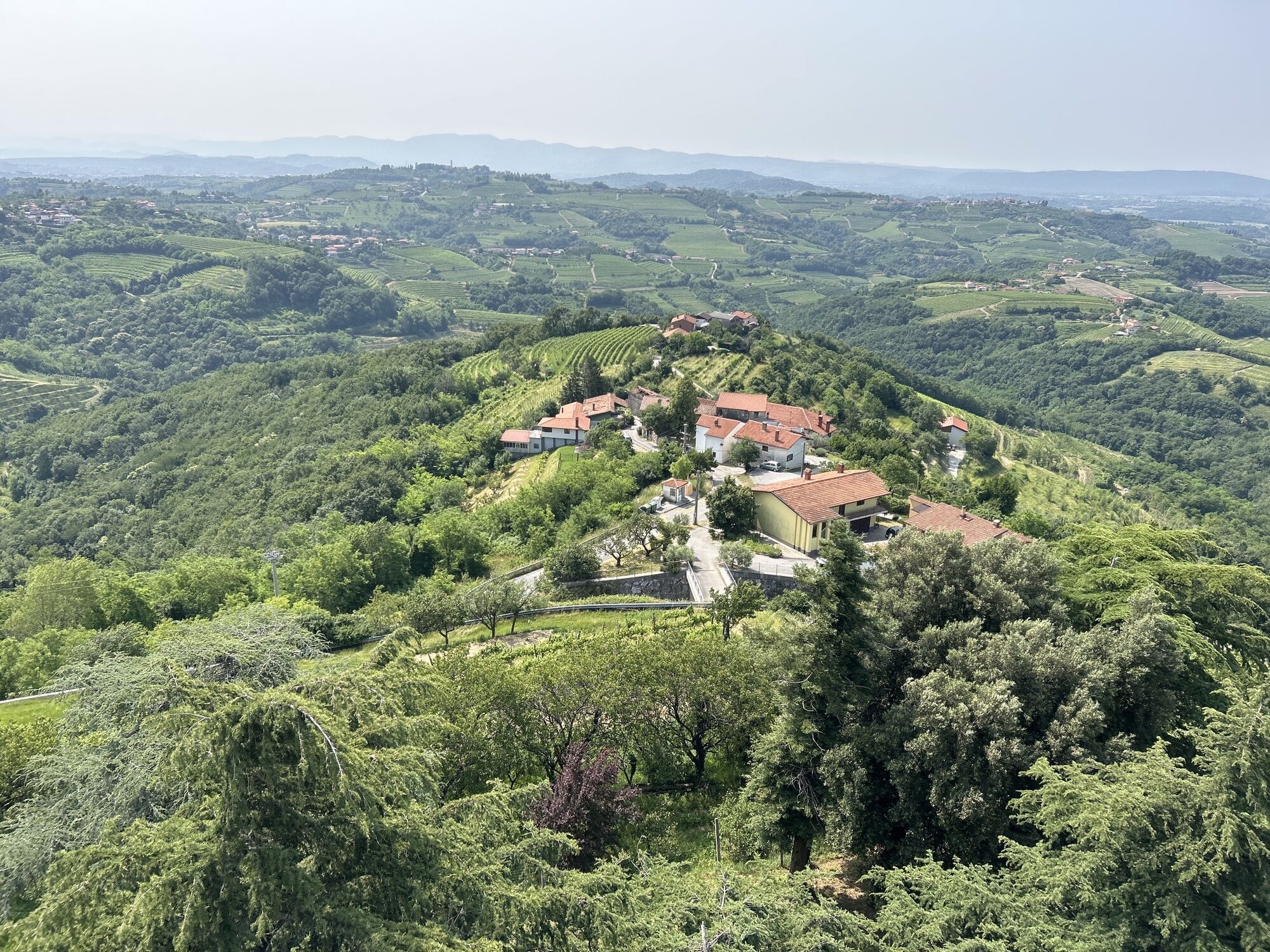
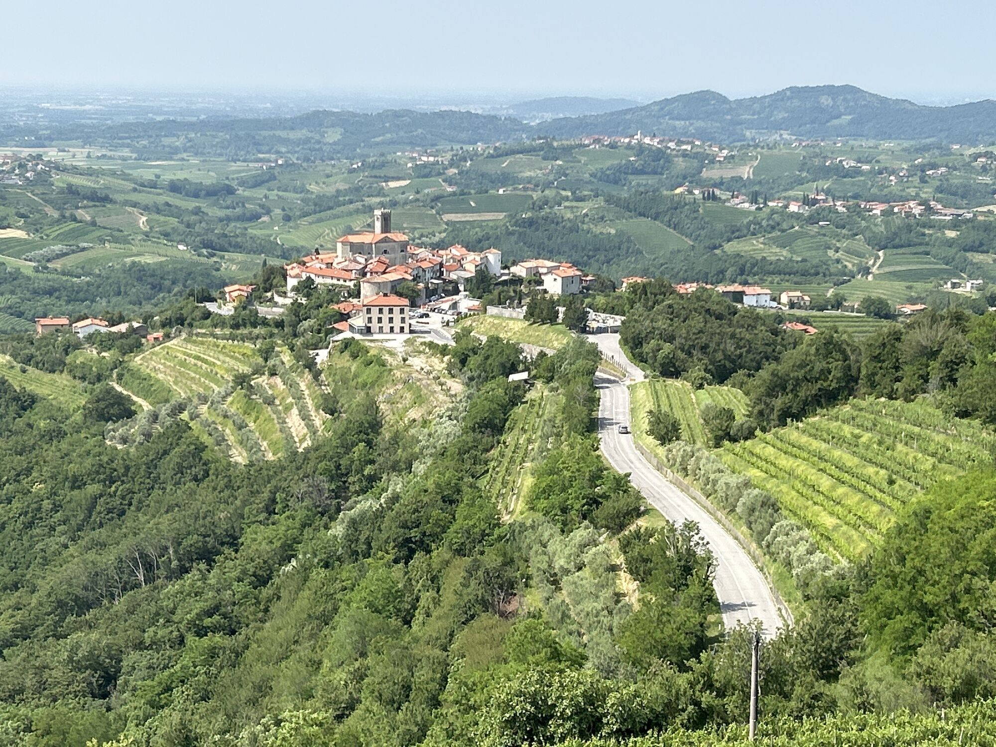
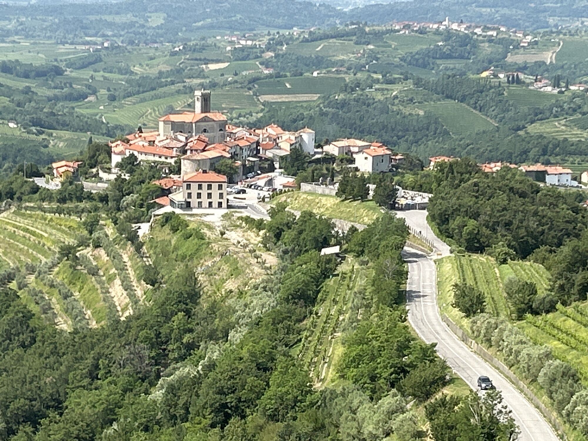
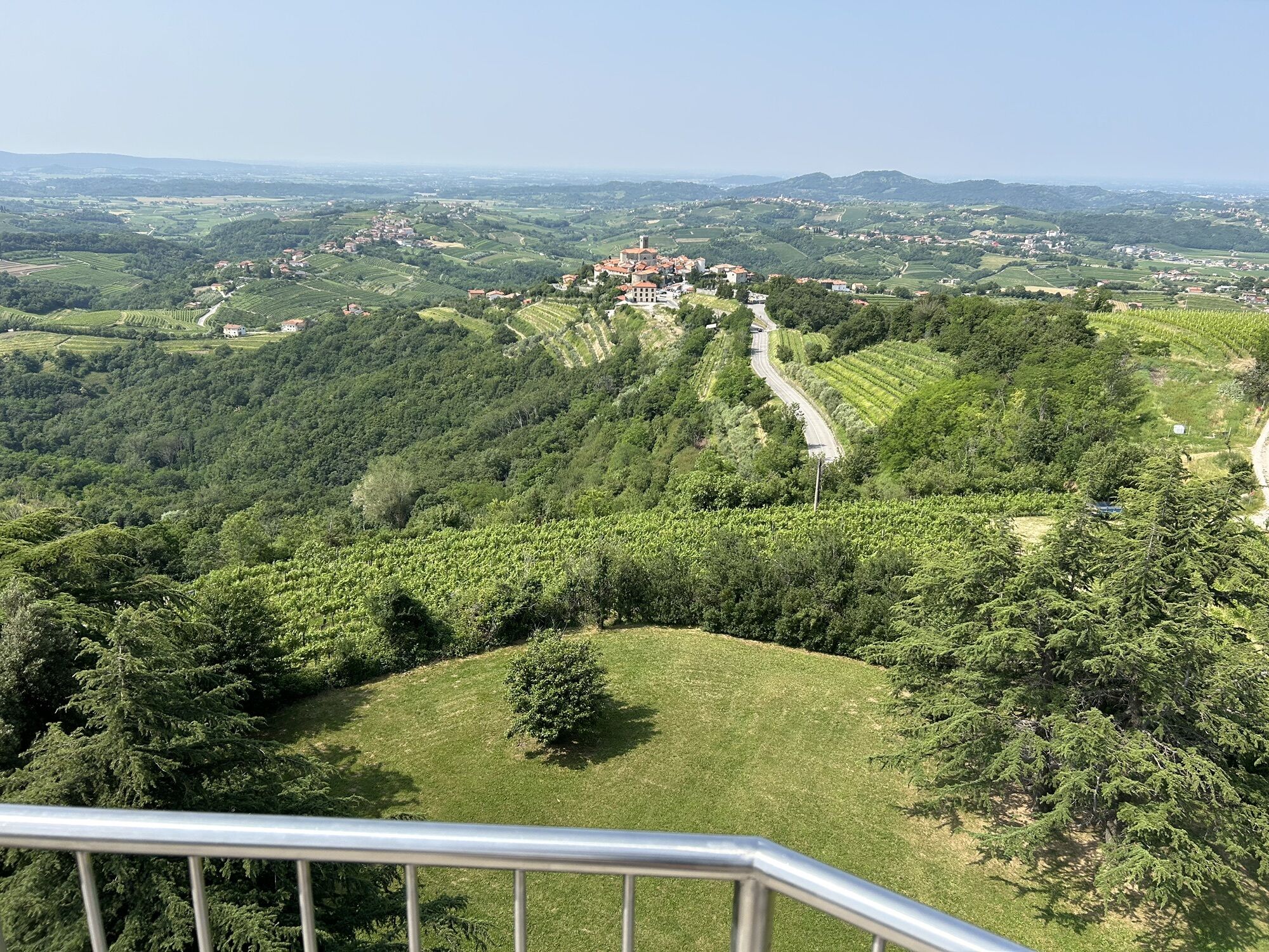
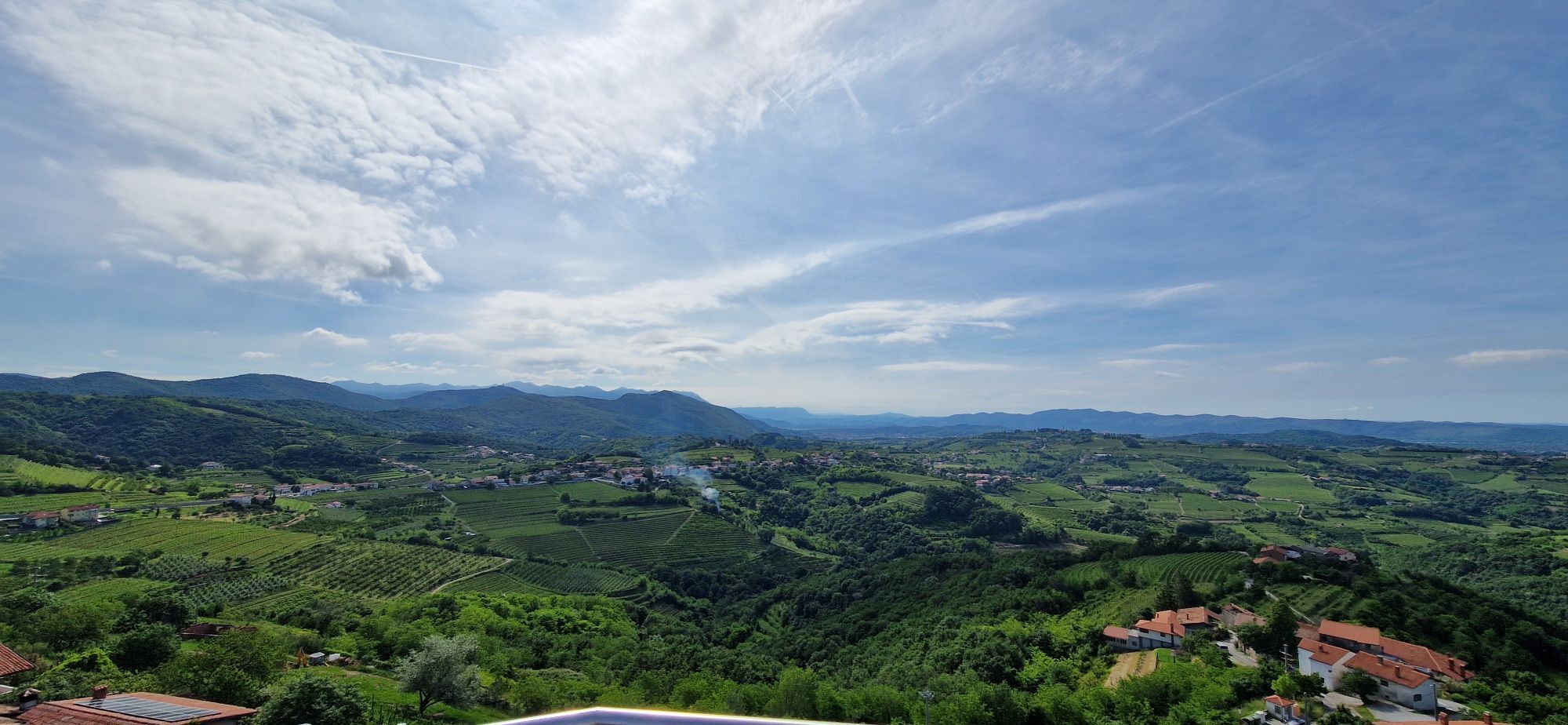
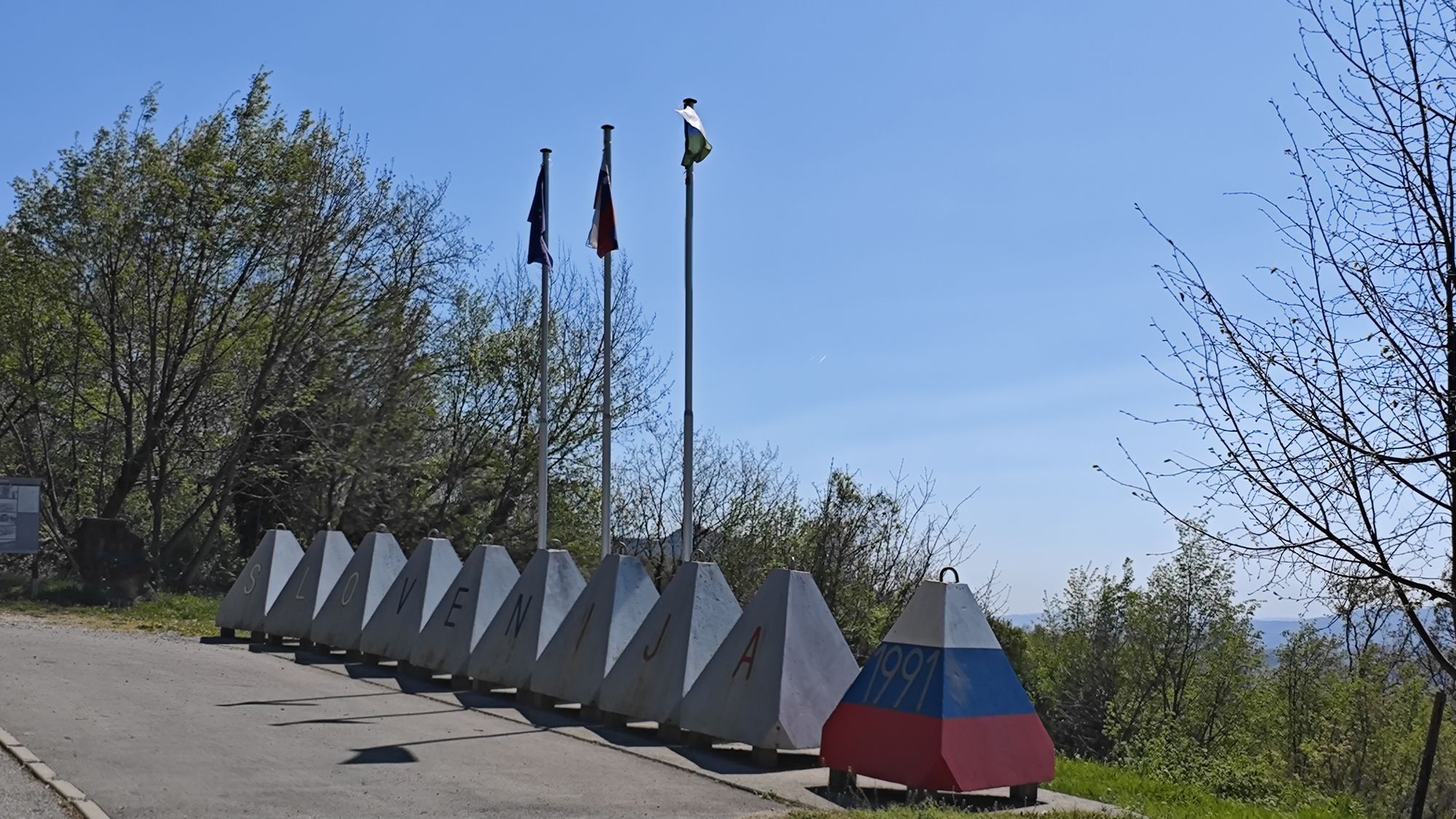
From the old village in the middle of Goriška Brda to the Briški lookout tower, then over the Sabotin ridge through the shady forest into the SoÄa valley to the train.

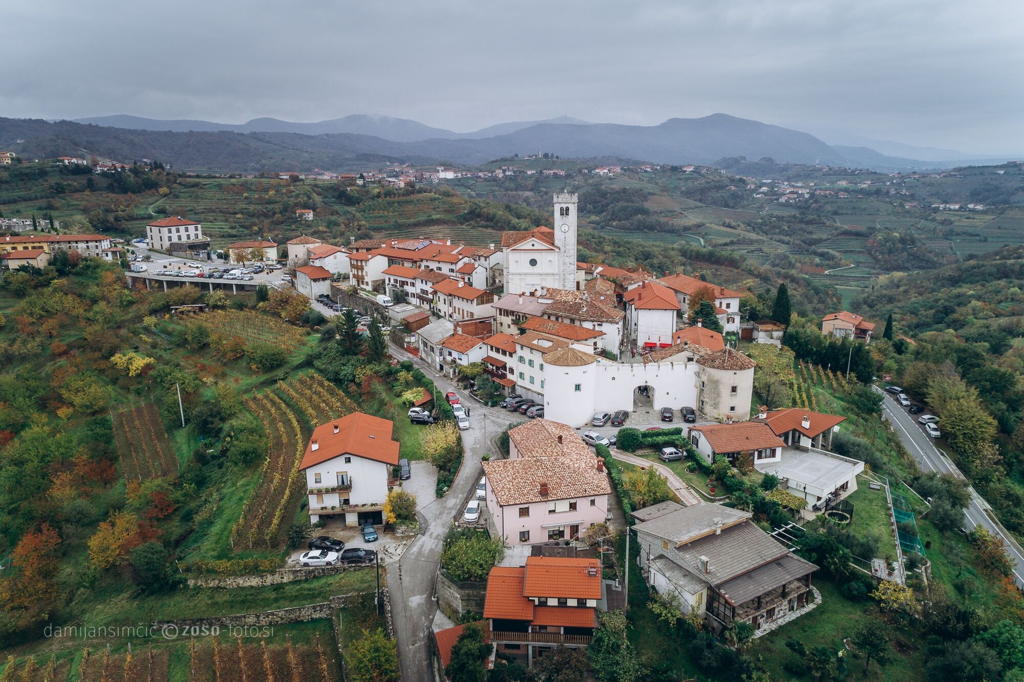
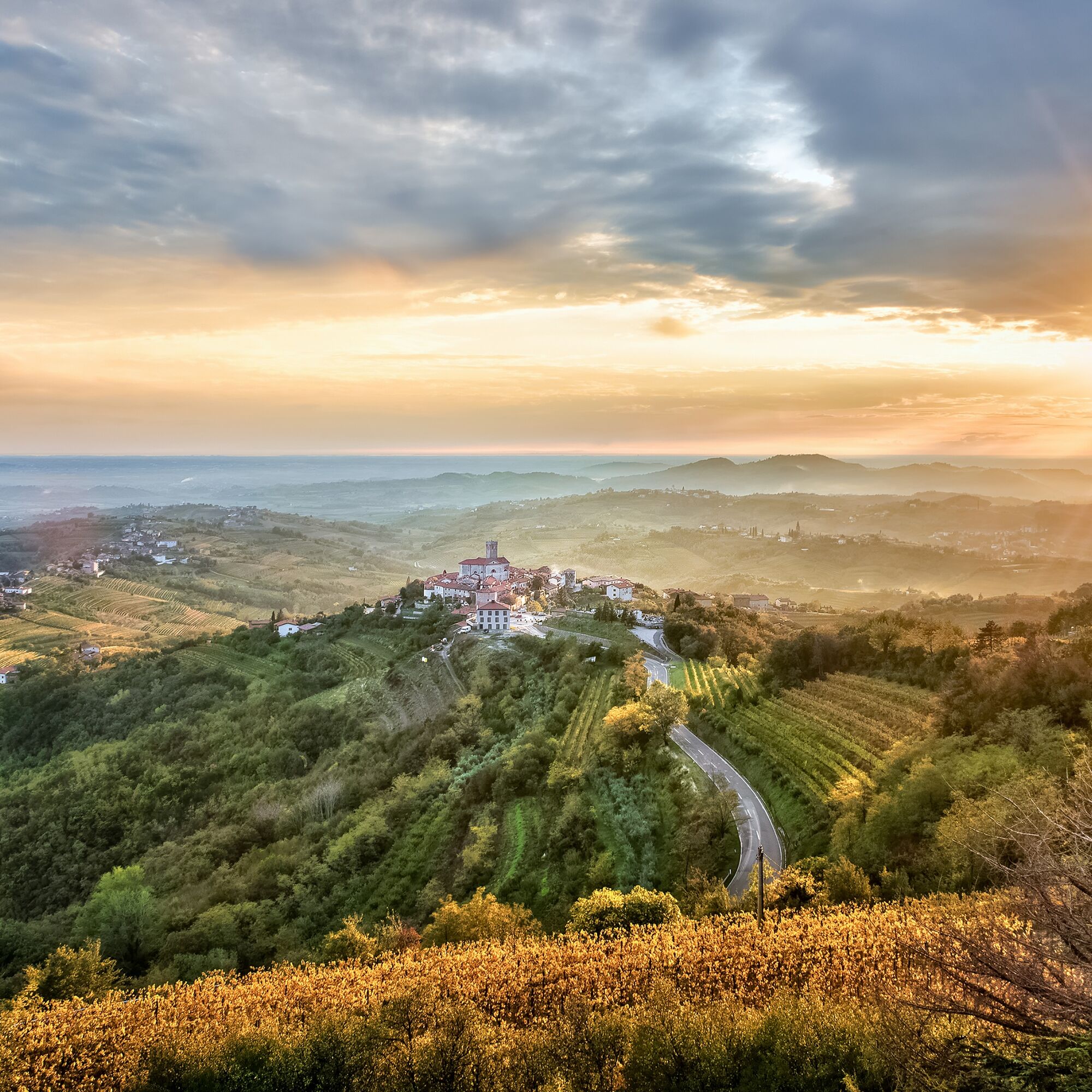
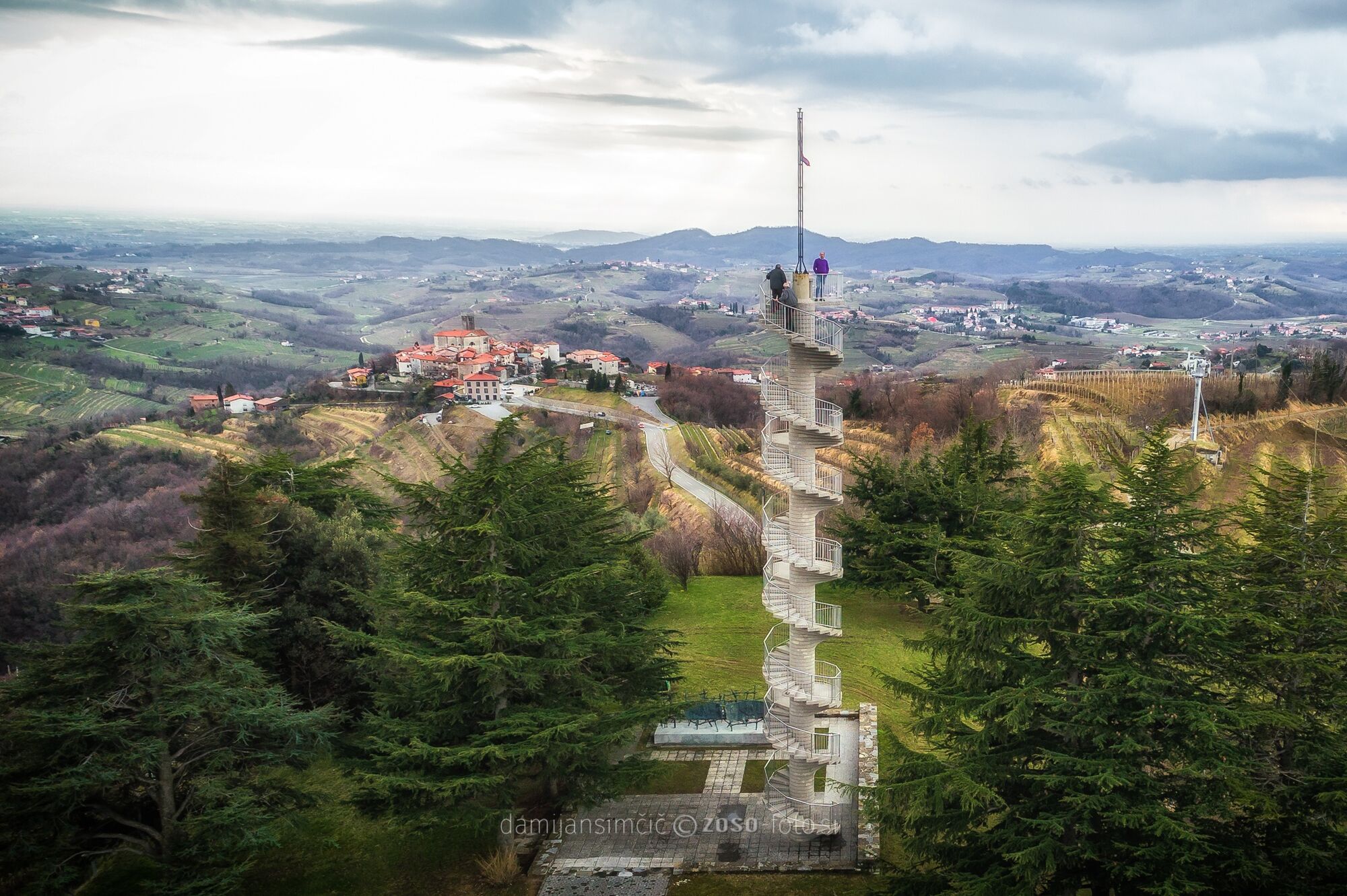
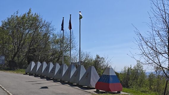
At the parking area near the village of Šmartno, we will turn north and follow the signpost for the village of Imenje. We descend on asphalt for a few hundred meters to the village. The road will lead us through the village and steeply up to the right, where the asphalt changes to a gravel surface. Initially steeper, then increasingly gentle, after 500 meters on the right we will see the lookout tower, continue right past it and after 100 m turn sharply right toward the tower. After enjoying views that stretch across the entire Brda, to the Julian Alps, the Dolomites, and the sea, we will return to the last turnoff toward the tower and continue a few more meters to the main road. We will immediately reach a roundabout, leaving it in the direction of Plave. We follow the main road for only 800 m, where we turn right onto a side road toward Sabotin. After a short climb comes a descent, and after a few hundred meters we reach a Y-intersection. The right road leads to Sabotin but we go left, in the direction marked with a sign "hunting lodge." After two hundred meters on gravel, pay attention to an unmarked forest track turning left. Once on that track, there is no more orientation difficulty. The forest track initially descends through pastures into a widened valley, then on the other side rises into the forest, then turns onto the northeastern slopes of the Sabotin ridge. The forest track ends below by the SoÄa on the cycle path, where we turn left and continue straight into the village of Plave. The train station awaits us at the end of the village on the left side of the road. The access is marked.
Technically flawless bike (road, gravel, XC, or all-mountain)
Helmet, gloves, sunglasses
Food and drink from the backpack
Spare inner tube, pump, multitool, first aid
Personal ID, health insurance card, mobile phone and/or navigation device, map of the area
2
Oblíbené prohlídky v okolí
-
4.0
Kot Waterfall / Slap Kot
světloTuristika 1.73 km -
4.0
Rundgang von Cormons
světloTuristika 7.31 km -
3.7
Trail to the natural stone bridge Skozno
světloTuristika 5.62 km -
4.7
Etappe 30 Alpe-Adria-Trail: Breg bei Golo Brdo - Šmartno
střednídálková pěší trasa 27.4 km -
Trasa Gorizia - Kanal (SLO) (P004)
středníCyklistika na velkou vzdálenost 22.2 km -
Škabrijel
Horská turistika 10.3 km -
Prepotto, Friuli-Venezia Giulia/Italia
E-MTB 34.4 km -
Collio - Brda Ring (R014)
středníCyklistika na velkou vzdálenost 60.6 km -
SOČA VALLEY I6: Kanal - Tolmin
středníJízda na kole 14.5 km -
10 thousand steps of health FVG - SAN PIETRO AL NATISONE - route 1
světloTuristika 4.26 km
Pěší turistika a stopování


Nenechte si ujít nabídky a inspiraci pro vaši příští dovolenou
Vaše e-mailová adresa byl přidán do poštovního seznamu.