


SOČA VALLEY I2A: Robidišče route
Úroveň obtížnosti: 4
On the way we will visit the warmest alpine river Nadiža. In the Breginj Corner there is tourist bustle only in the middle of the high summer season, otherwise a cycling paradise awaits us there. We will...
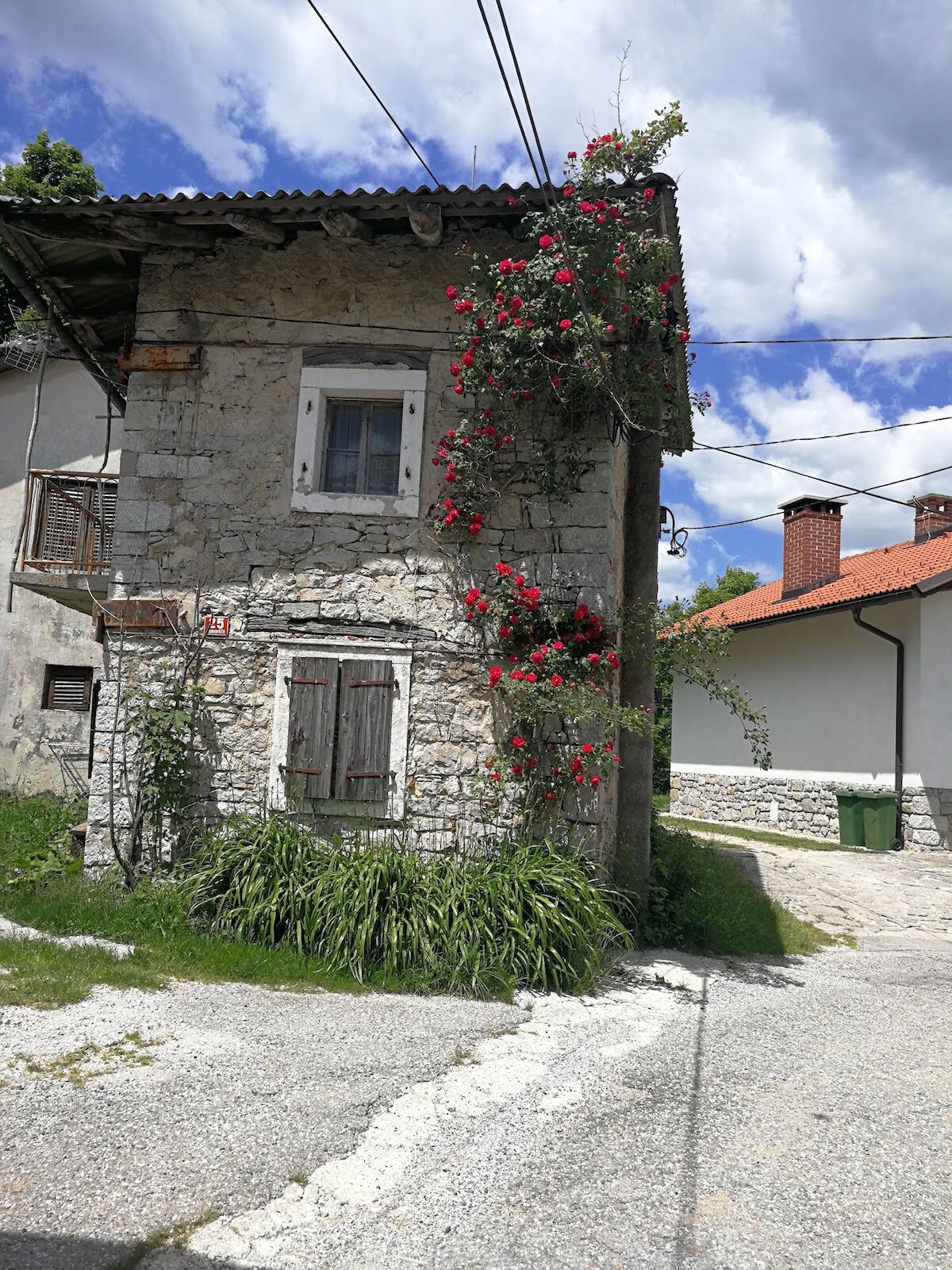
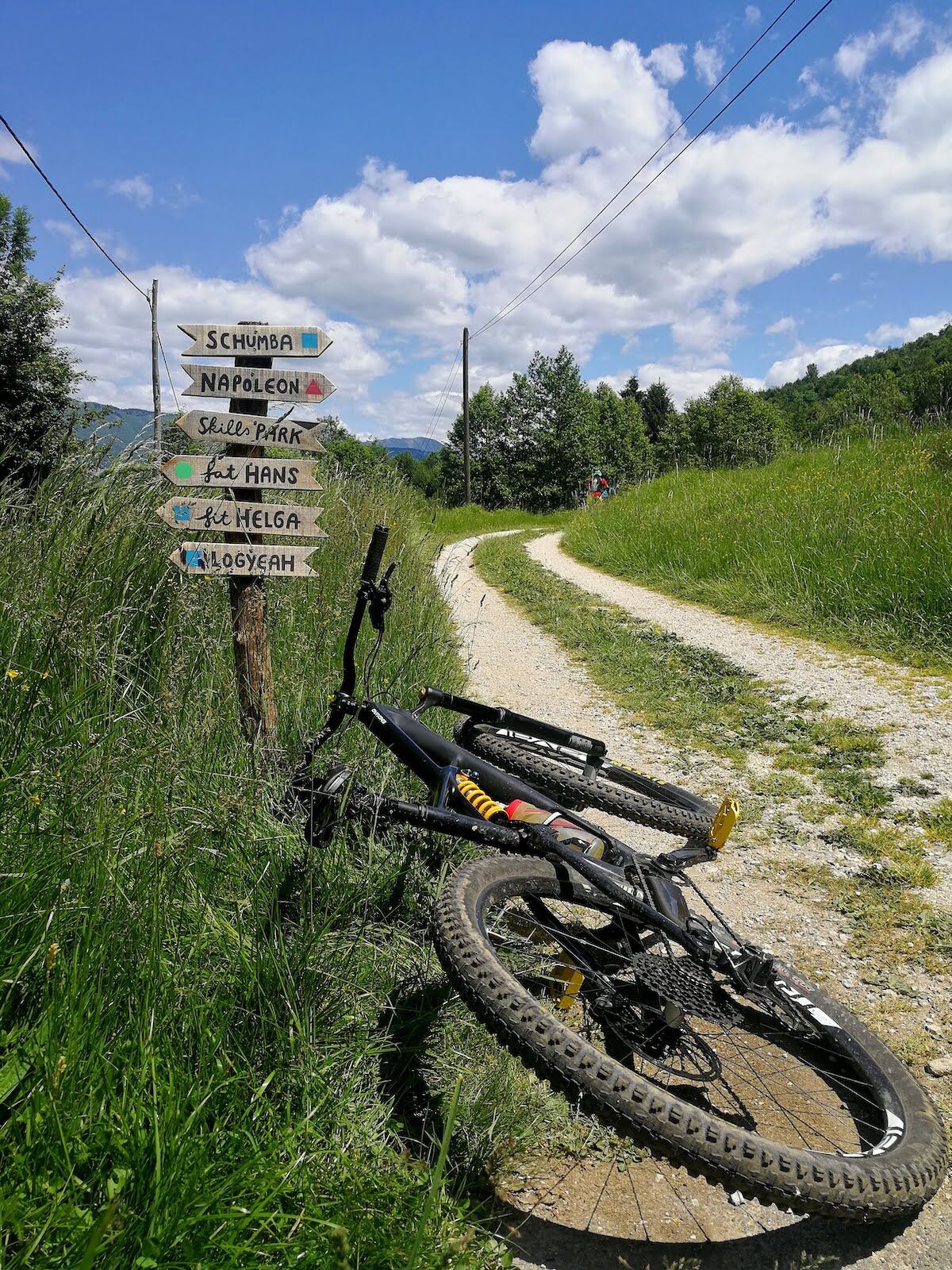
On the way we will visit the warmest alpine river Nadiža. In the Breginj Corner there is tourist bustle only in the middle of the high summer season, otherwise a cycling paradise awaits us there. We will visit it from Kobarid or via a kind of loop, of which part is our route from Stol to Kobarid. We will join it in the village of Borjana, which, like others in these parts, still shows damage from the 1976 earthquake. In Breginj we will not forget to visit the old village core with a museum, which was somehow spared by the earthquake. In RobidišÄe, the westernmost village in Slovenia, more adrenaline-seeking cyclists can enjoy the newly developing bike park. On the return, we will descend back to the Nadiža, bathe in the clear water near Napoleon's bridge, and in nearby Podbela, which has two campsites, rejoin the route that leads from Stol to Kobarid.
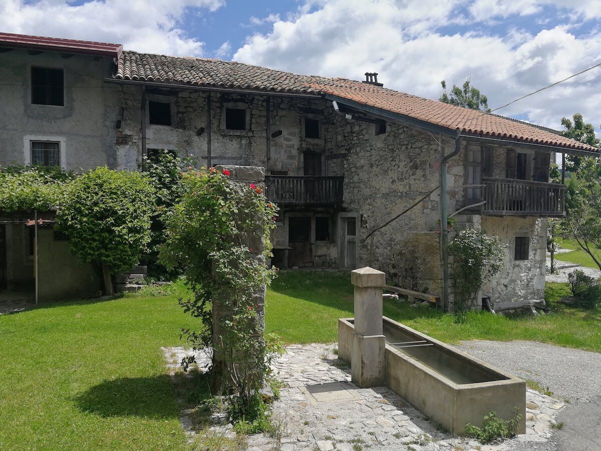
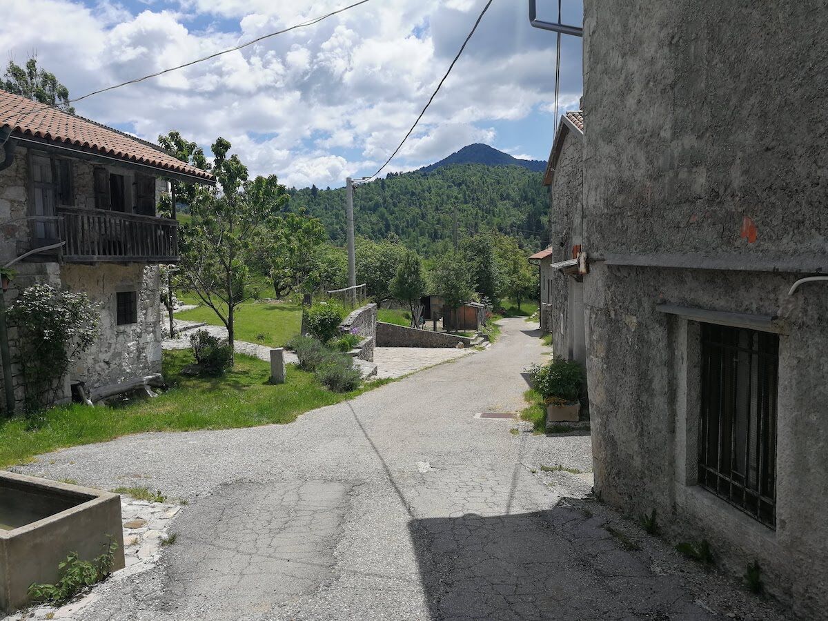

At the church in Borjana we continue on the main road towards Breginj, through StanovišÄe and Homec, until we reach Sedlo. Just behind the village a road descends from Stol on the right, but we continue on the main road to Breginj, where already in the village we keep right, and at the end of the village at a Y junction again turn right. The paved road leads us on a slight climb, then in a few kilometers undulates to the village of Logje. Through the village we stay on the main road; ahead of us is a 2 km steep descent to the Nadiža. We cross the river and enter a steep climb, which after 1 km joins the main road to RobidišÄe. We turn right and make two more kilometers of climbing to RobidišÄe. The first three kilometers we will return on our arrival route, at the junction for Logje we will turn sharply right and pass by Napoleon's bridge to Podbela. Before the village, just behind the bridge over the Bela, we will join the route from Stol and continue along it to Kobarid. The route leads us on paved road and we are also helped in orientation by well-marked intersections.
Technically flawless bike (road, gravel, XC or all-mountain)
Helmet, gloves, sunglasses
Food and drink from the backpack
Spare inner tube, pump, multitool, first aid kit
Personal identification, health insurance card, mobile phone and/or navigation device, area map
Purchase of vignette required (€5.00) for daily use of the maintained trails.
4
Oblíbené prohlídky v okolí
-
4.6
Kozjak Wasserfall und Soča
světloTuristika 5.18 km -
4.8
FVG1 Cyklostezka Alpe Adria (C100)
středníCyklistika na velkou vzdálenost 179.3 km -
4.0
Boka Wasserfall
středníTuristika 1.94 km -
4.7
Tarvisio - Gorizia: z hor na vinice (CX01)
středníCyklistika na velkou vzdálenost 155.8 km -
5.0
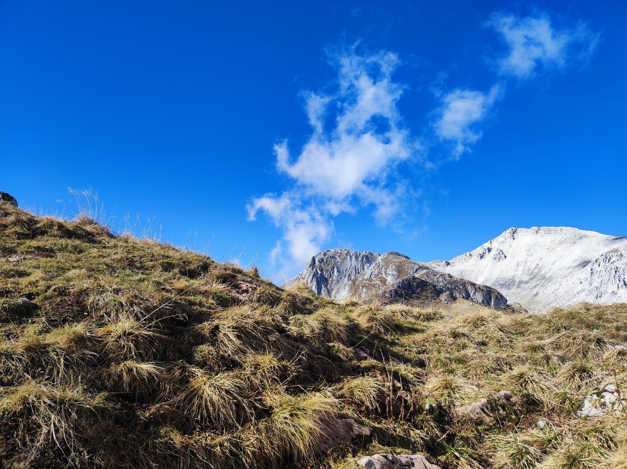
Prestreljenik Window (2390 m) – dramatic view of the Western Julian Alps
středníLyžařská trasa 14.5 km -
3.2
Slap Kozjak (Wasserfall)
světloTuristika 3.40 km -
4.0
Matajur
středníMountainbike 24.8 km -
4.3
Stol Nord
středníMountainbike 37 km -
4.8
Kobarid - Stari grad - Restaurant Kamp Lazar - Veliki Kozjak
středníTuristika 8.98 km -
JULIANA TRAIL: stage 13 Kobarid – Bovec
středníTuristika 23.1 km
Pěší turistika a stopování


Nenechte si ujít nabídky a inspiraci pro vaši příští dovolenou
Vaše e-mailová adresa byl přidán do poštovního seznamu.