






Carsus Trail, stage 1: Miren-Renče

Úroveň obtížnosti: T1
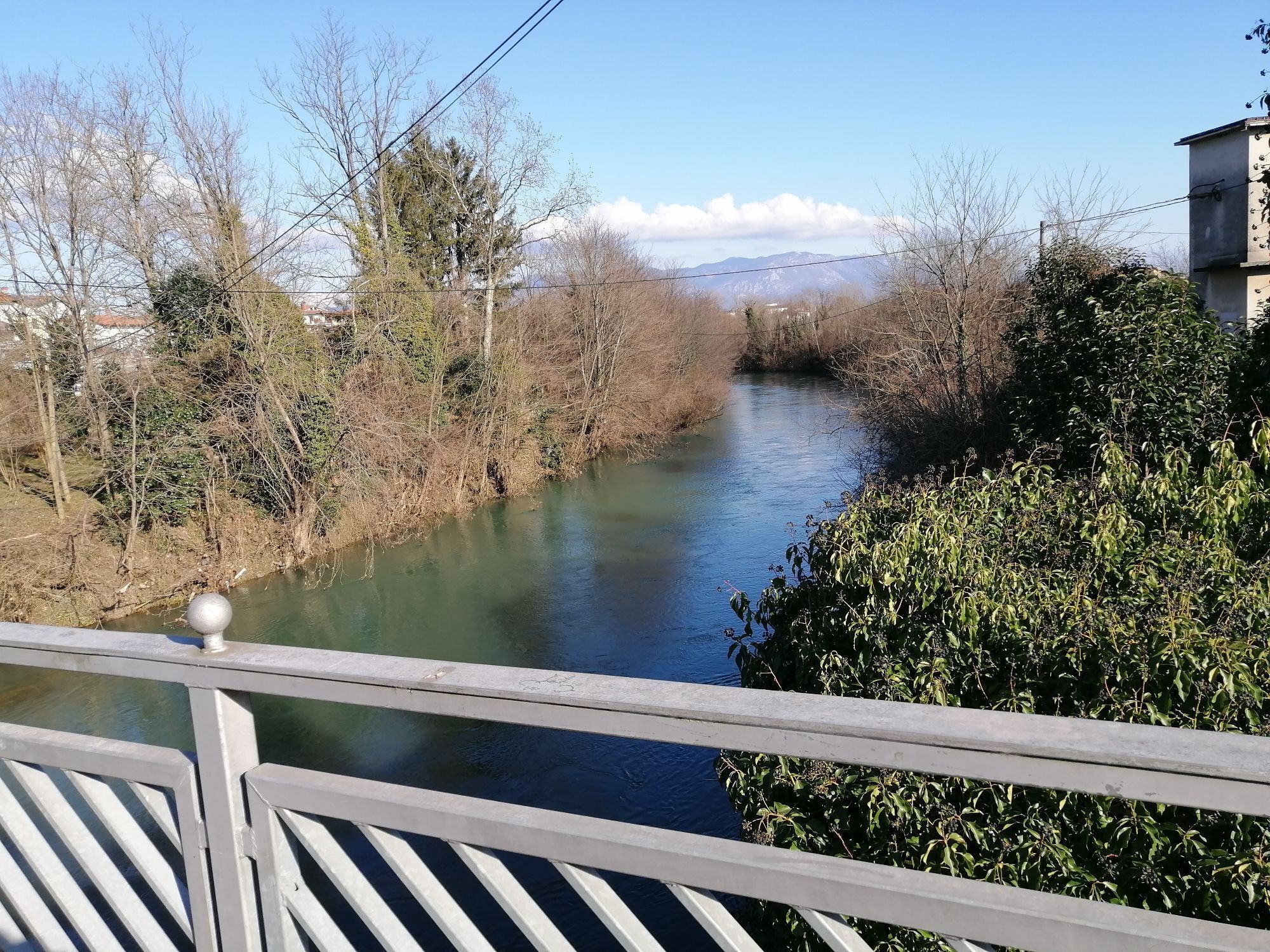
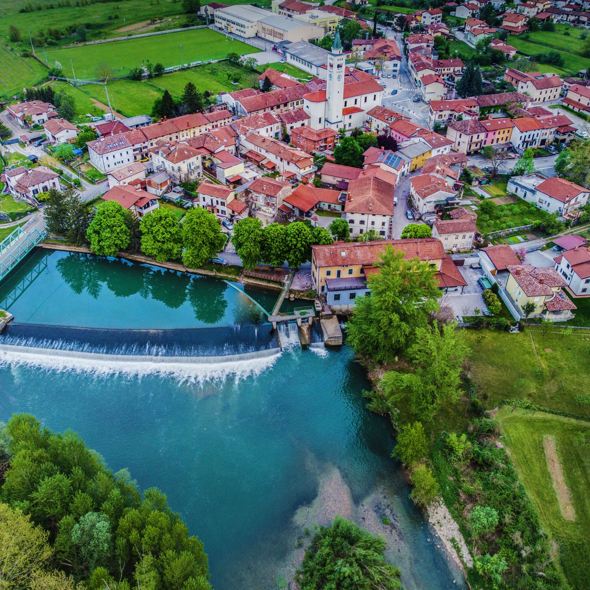
Miren and Renče are small towns and at the same time the two largest settlements on the Slovenian part of the Carsus Trail. They are connected by the Vipava river, which is especially picturesque from...
The Vipava river is 49 km long and originates from strong karst springs at the foot of Nanos. It flows calmly through the valley named after it, the Vipava Valley, and flows into the SoÄa river on the Italian side.
The first stage of the Green Heart route from Miren to RenÄe is a friendly introduction to a journey through a unique landscape and among friendly people.

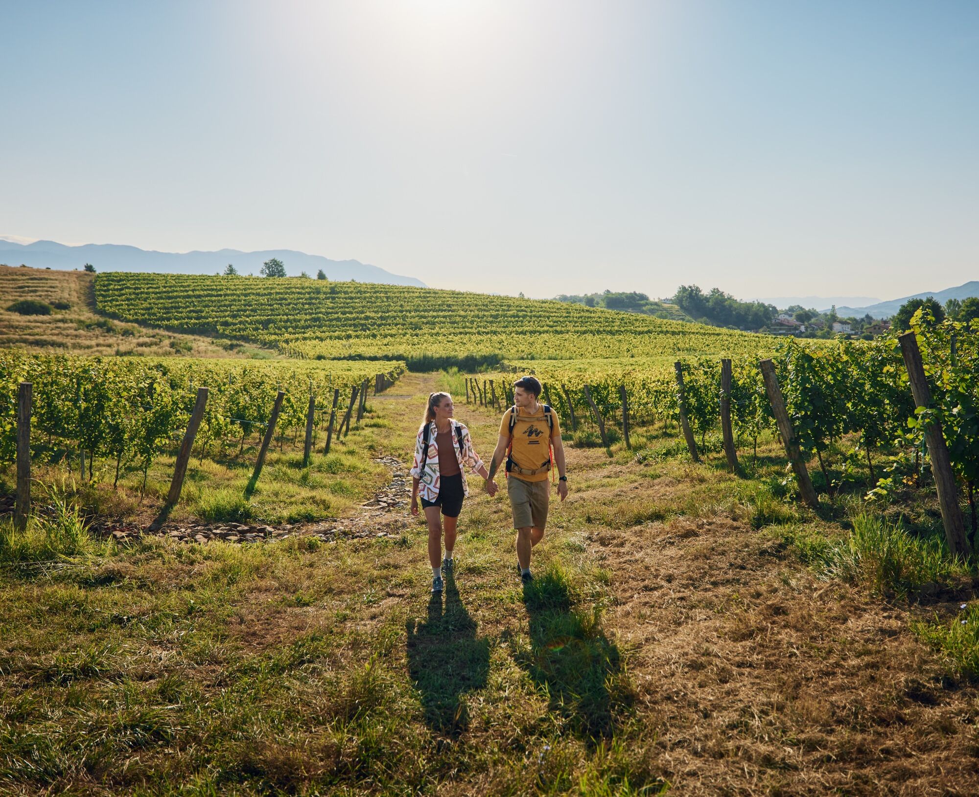


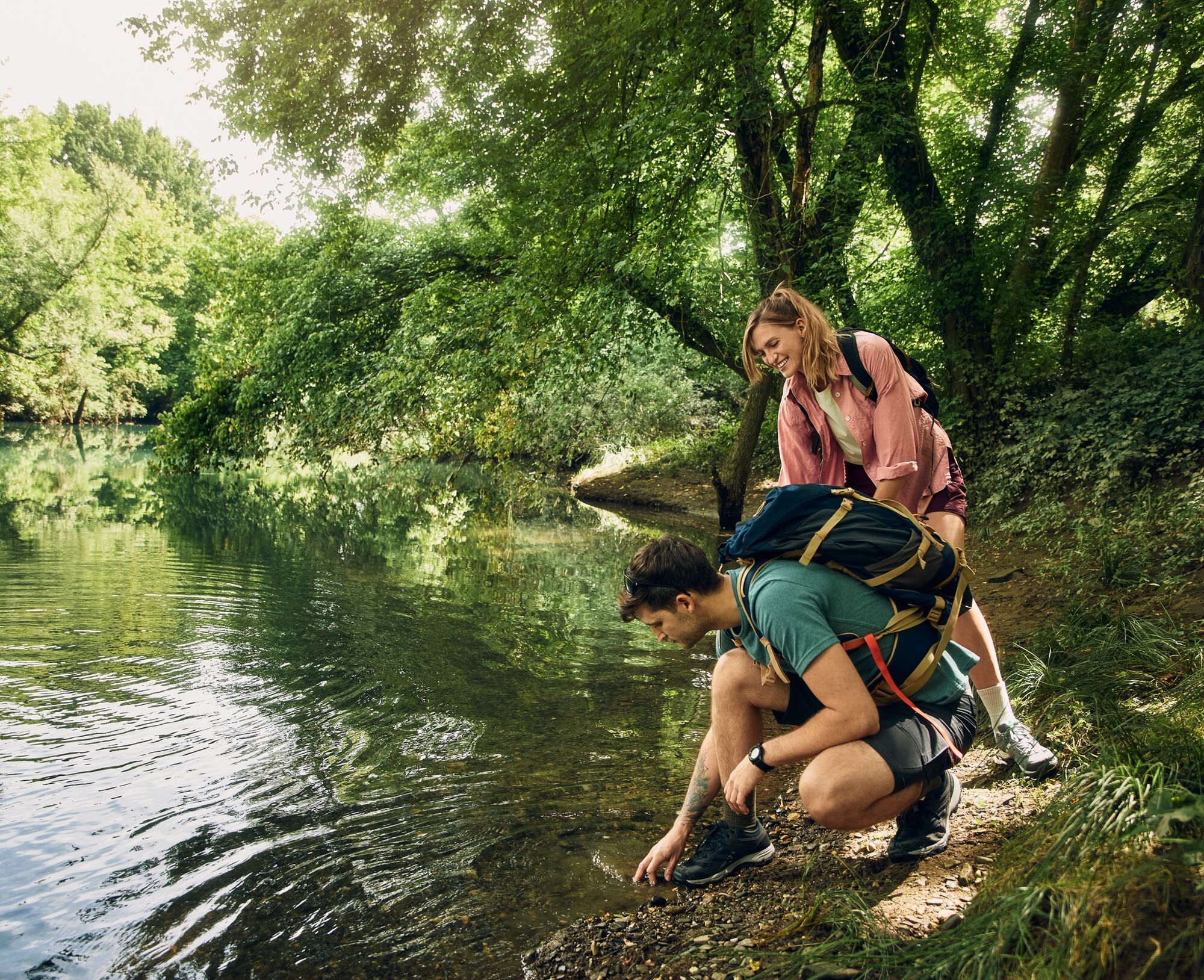
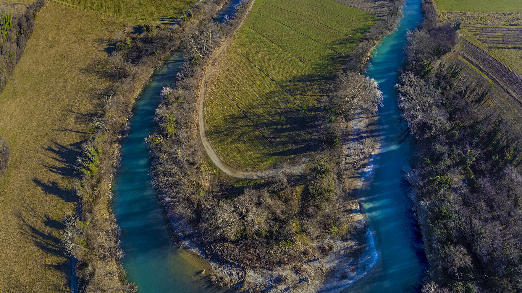
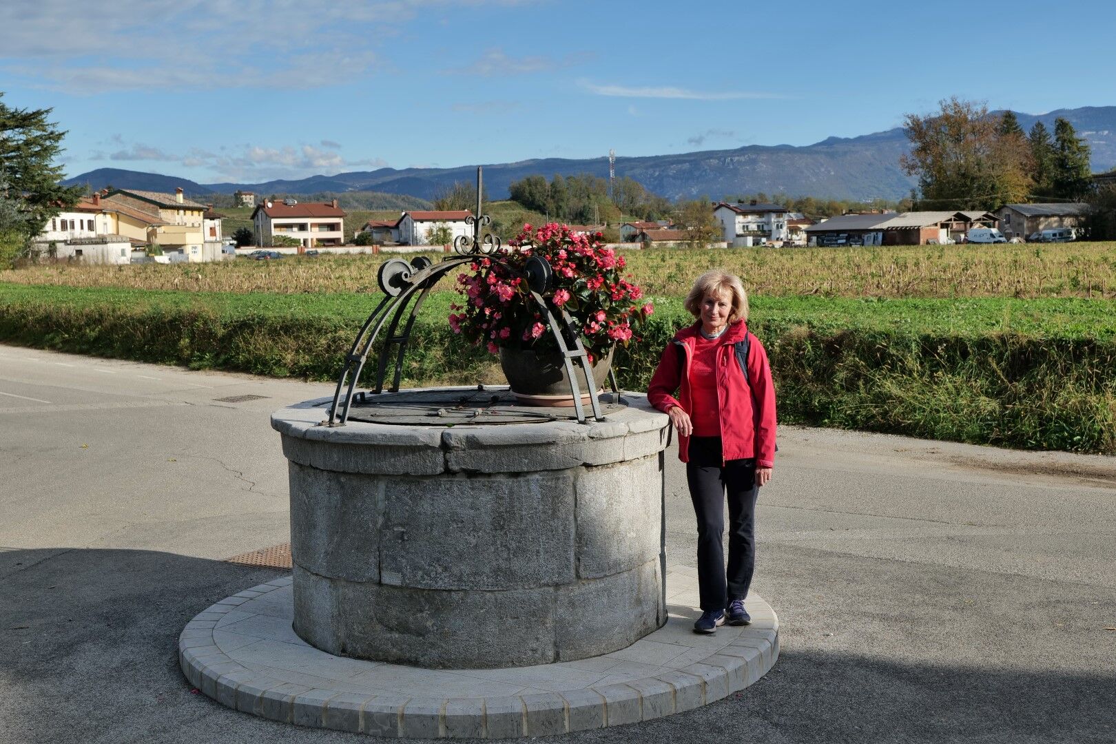
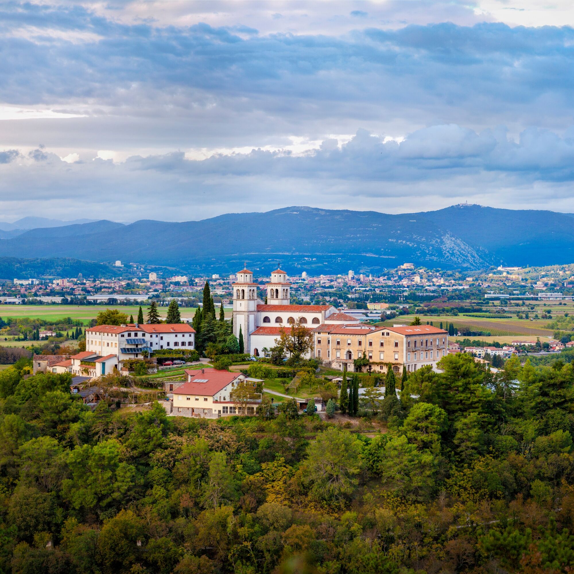
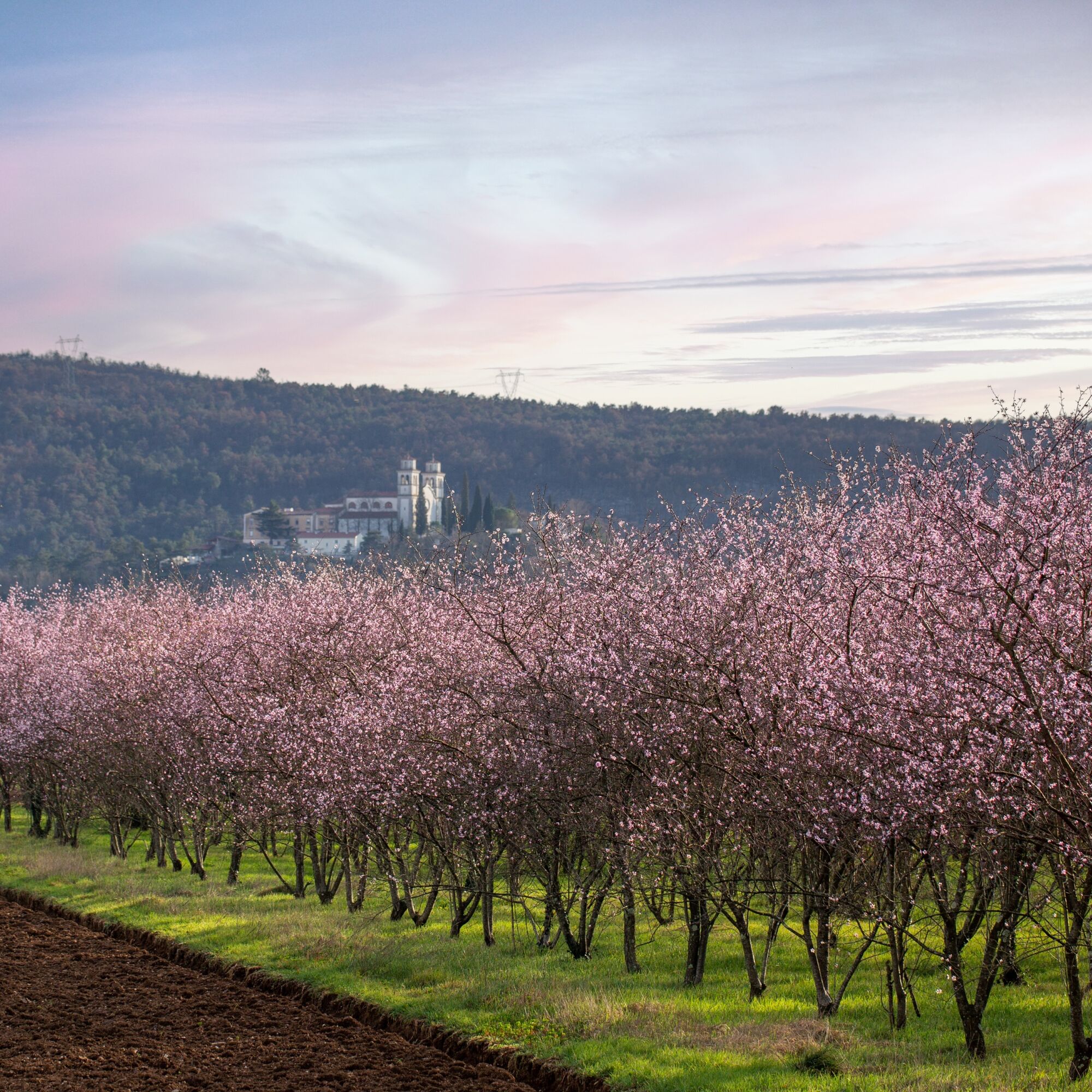
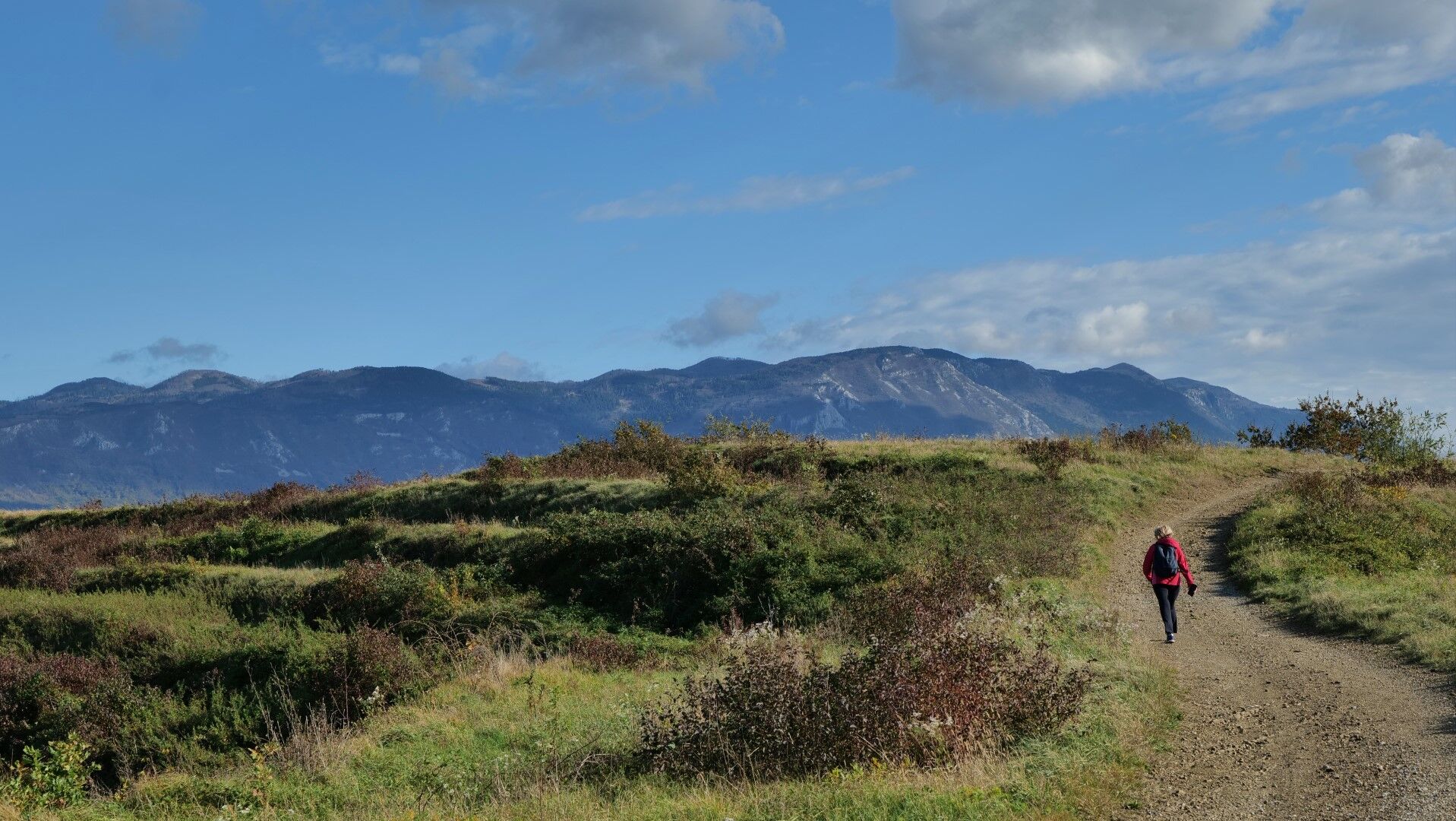

Past the church, we continue on the road to the right through the village. Towards the end of the village, where the road splits, we continue left between the houses and then right to the end of the village. Here begins a field path, which we follow among vast fields and meadows to the Vipava river and further to the neighboring village of Bilje.
Among the first houses, we continue to the crossroads with a beautiful fountain, from where we go further right through the village. In a long bend, we reach the main road, which we follow only briefly. Immediately behind the church, we turn left onto a side street through the upper part of the village. Past Frnaže, we return to the main road.
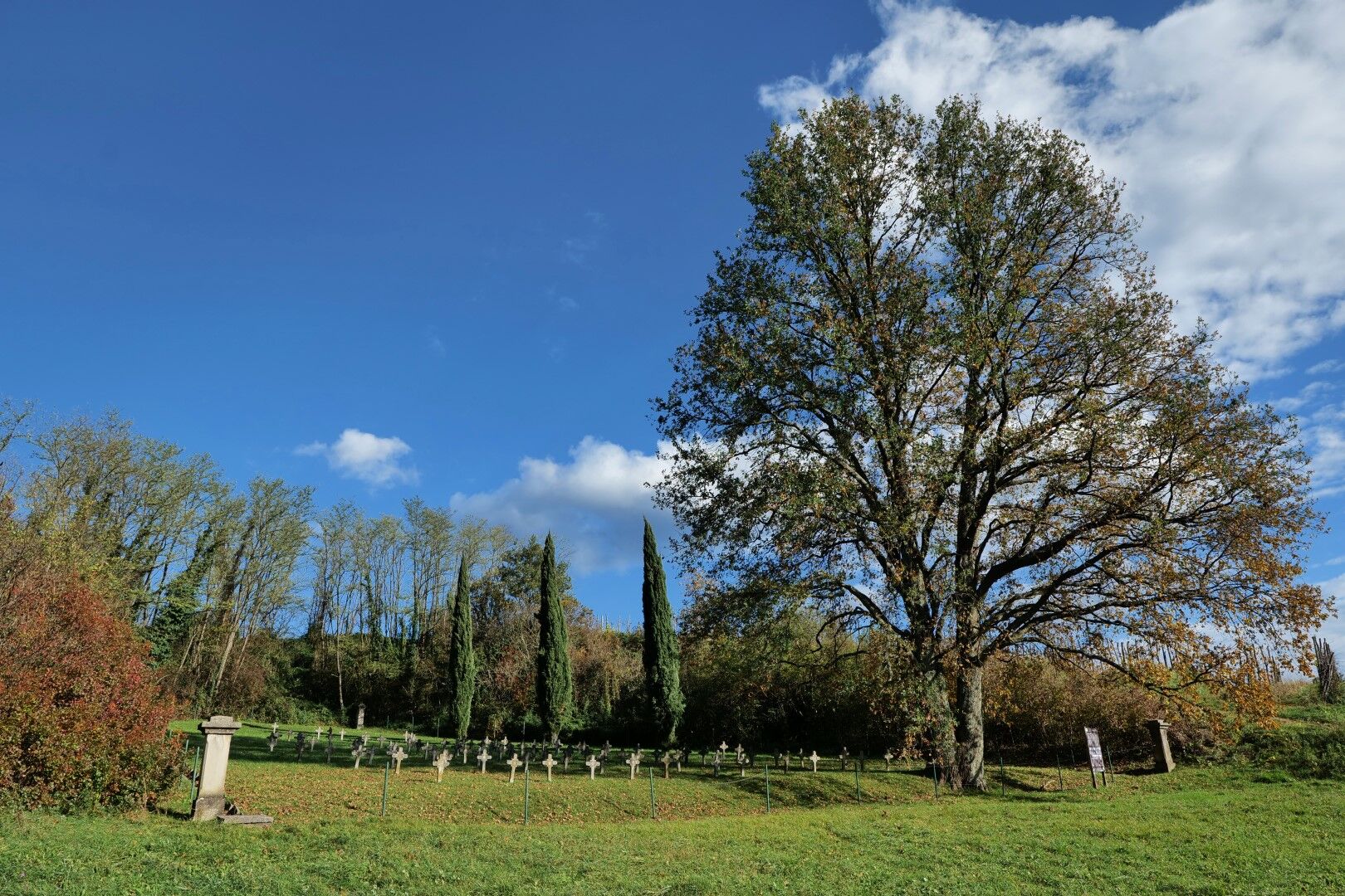
Along the edge of the main road, we continue to the next village Bukovica. We turn right through the village and past the cemetery at the edge of the village to the roundabout by the Vipava river.
We continue over the roundabout and along the river to the bridge above the picturesque river barrier. Over the bridge, we walk into RenÄe.
Ano
Usual hiking equipment: lighter hiking shoes and clothing suitable for the season.
The path is passable all year round; the most suitable and beautiful times are spring and autumn. It will not disappoint even in winter, only in summer we must accept possible high temperatures.
From the direction of Gorica (Nova Gorica or Gorica) to Miren.
There is no public transport in the area. In nearby Gorica, there are railway and bus stations.
We park in the public parking lot by the municipal building in the town center.
T1
The first stage on the route is short, so it is a suitable introduction and warm-up for the hiking trip that follows. If we decide to visit the entire route, the first stage is convenient because it gives us enough time for a relaxed arrival.
On the hill above Miren, you can visit the monastery and spiritual center Mirenski Grad, and in the town, the gallery of the internationally recognized and award-winning Slovenian designer Oskar Kogoj.
Oblíbené prohlídky v okolí
-
4.8
Rilkeweg
světloTuristika 6.19 km -
3.7
Trail to the natural stone bridge Skozno
světloTuristika 5.62 km -
4.0
Rundgang von Cormons
světloTuristika 7.31 km -
Trasa Gorizia - Kanal (SLO) (P004)
středníCyklistika na velkou vzdálenost 22.2 km -
Collio - Brda Ring (R014)
středníCyklistika na velkou vzdálenost 60.6 km -
Carsus Trail - a long-distance trail through the Karst region of Slovenia and Italy
střednídálková pěší trasa 102.2 km -
FVG 2/b Krasová varianta (C2V2)
heavyCyklistika na velkou vzdálenost 105.1 km -
5.0
Via Flavia Walk Stage 3 Miramare (Trieste) – Monfalcone
světloPoutní stezka 25.3 km -
4.0
Etappe 33 Alpe-Adria-Trail: Gradisca d'Isonzo - Duino
střednídálková pěší trasa 27.8 km -
5.Etappe: Gradisca-Triest 40km, 150Hm
světloJízda na kole 40.0 km
Pěší turistika a stopování


Nenechte si ujít nabídky a inspiraci pro vaši příští dovolenou
Vaše e-mailová adresa byl přidán do poštovního seznamu.





