





Through the wild Samina Valley

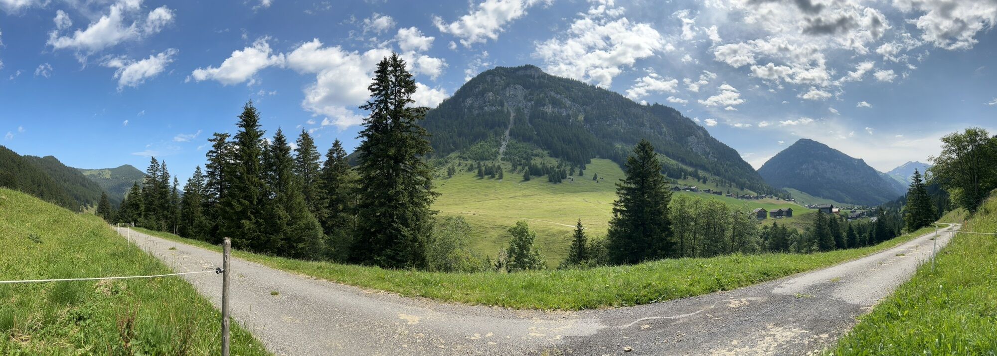
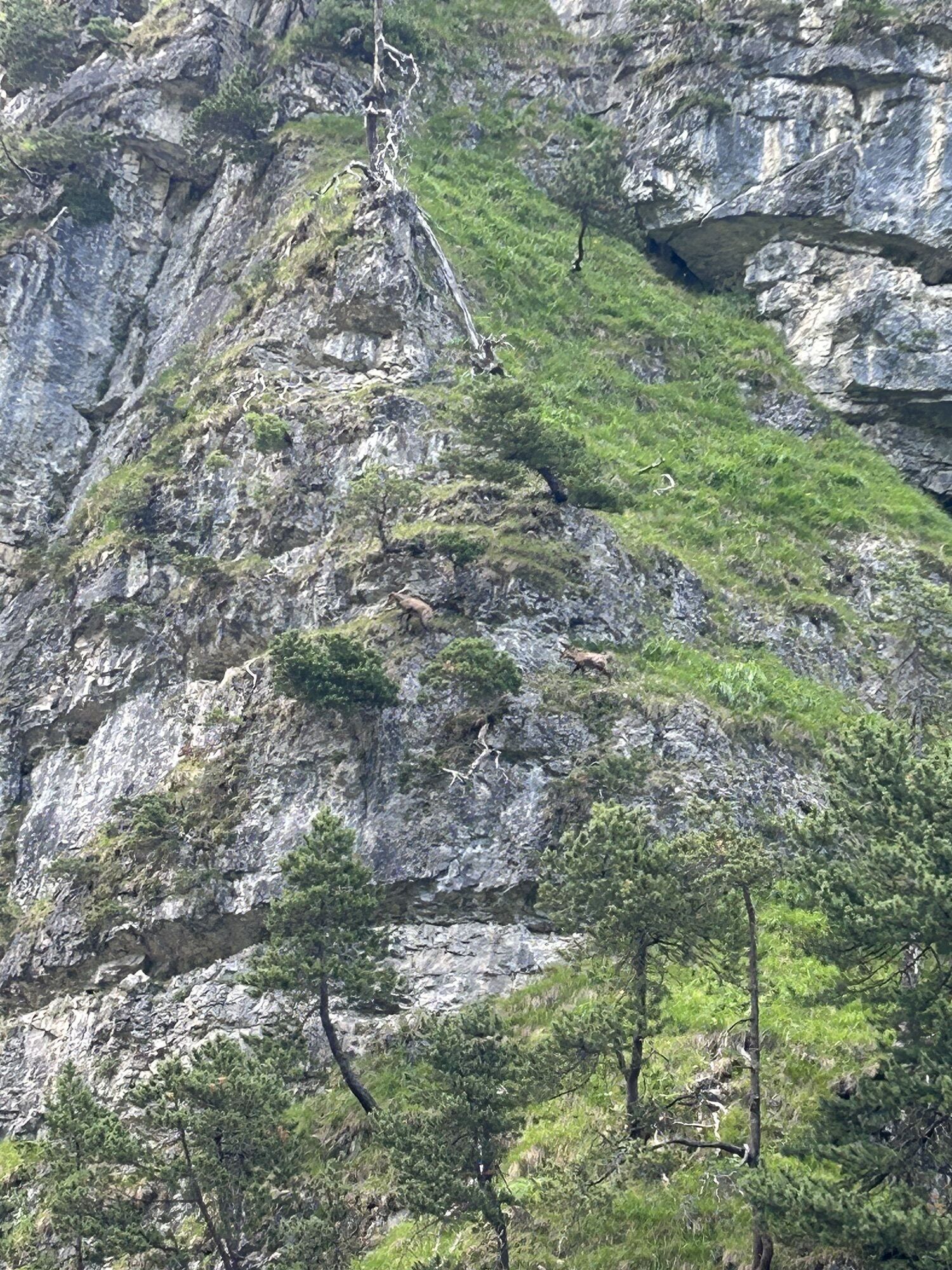
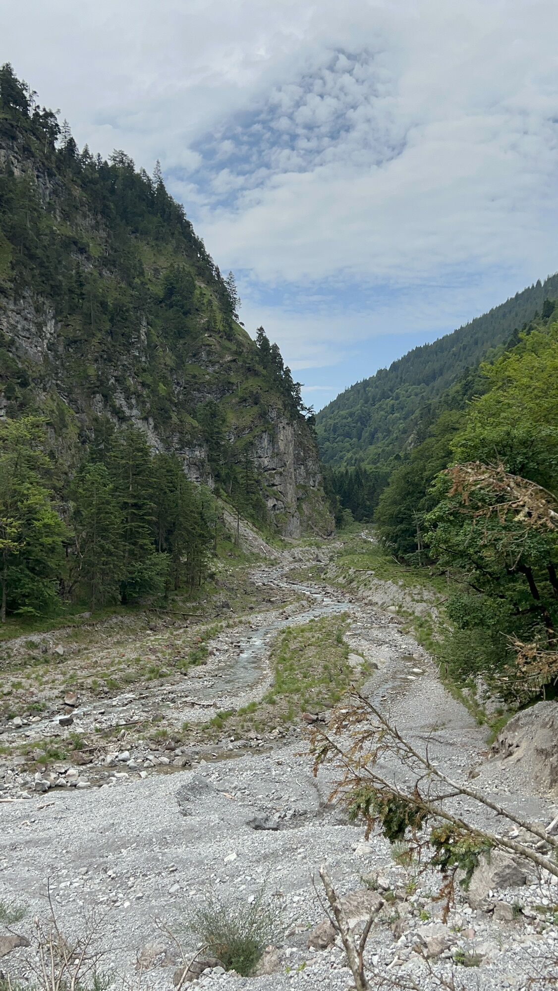
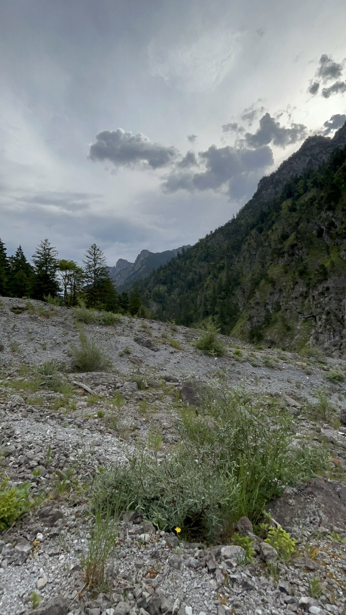
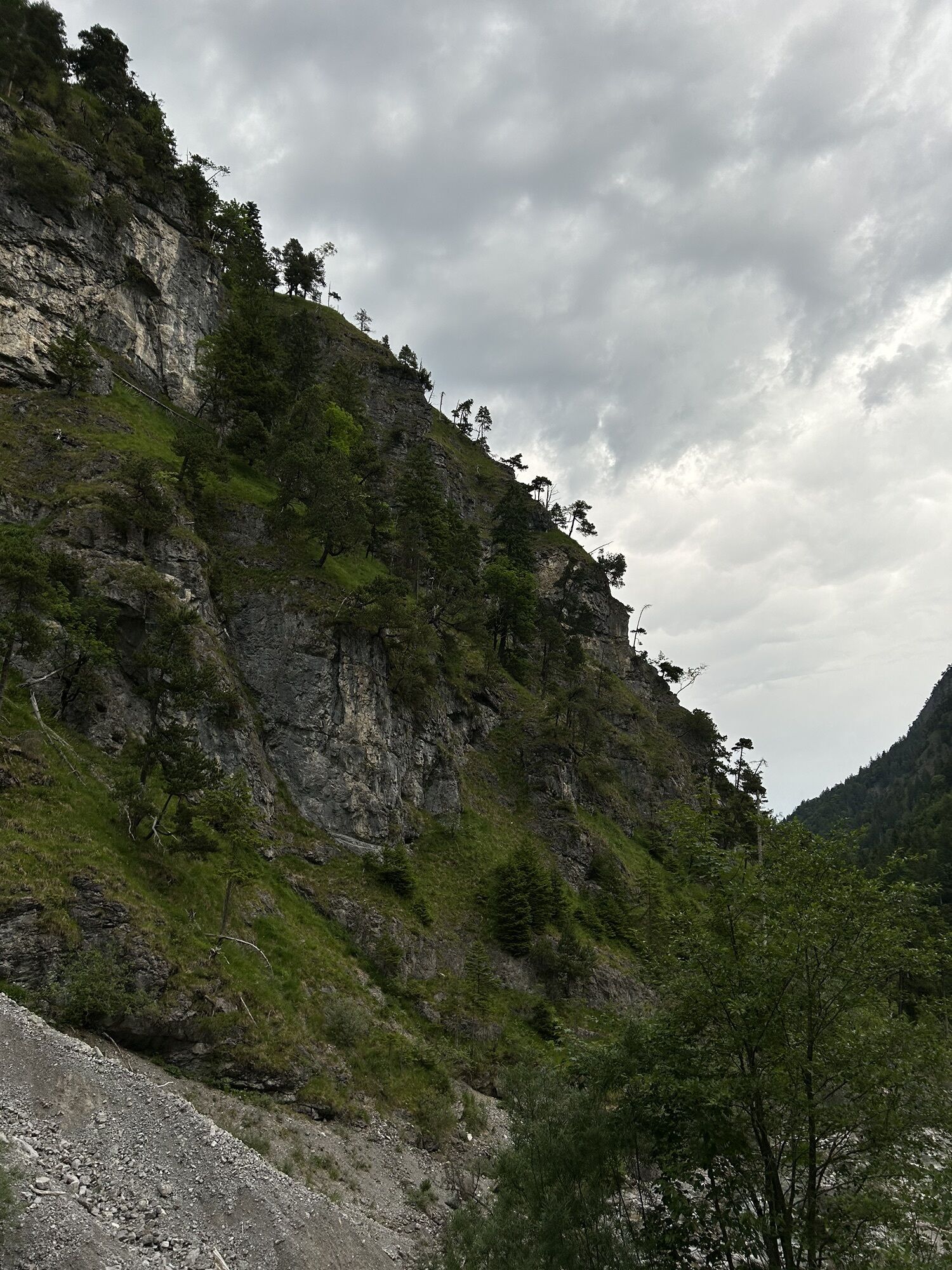
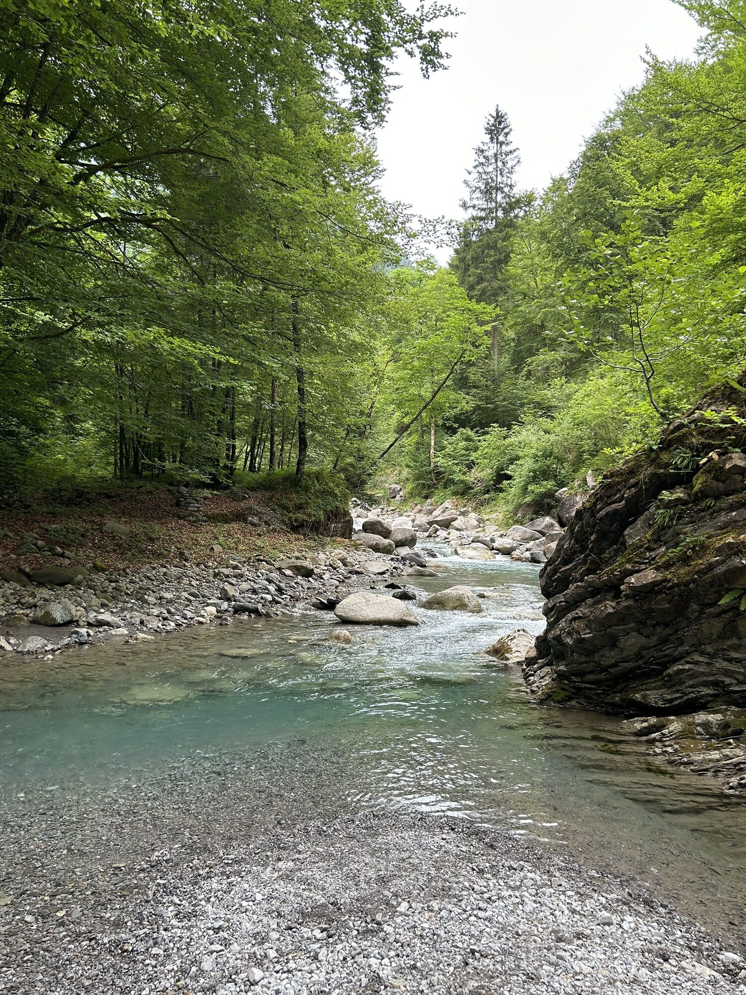
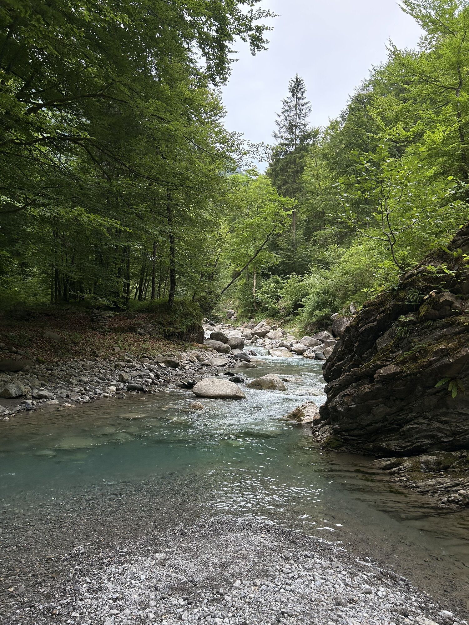
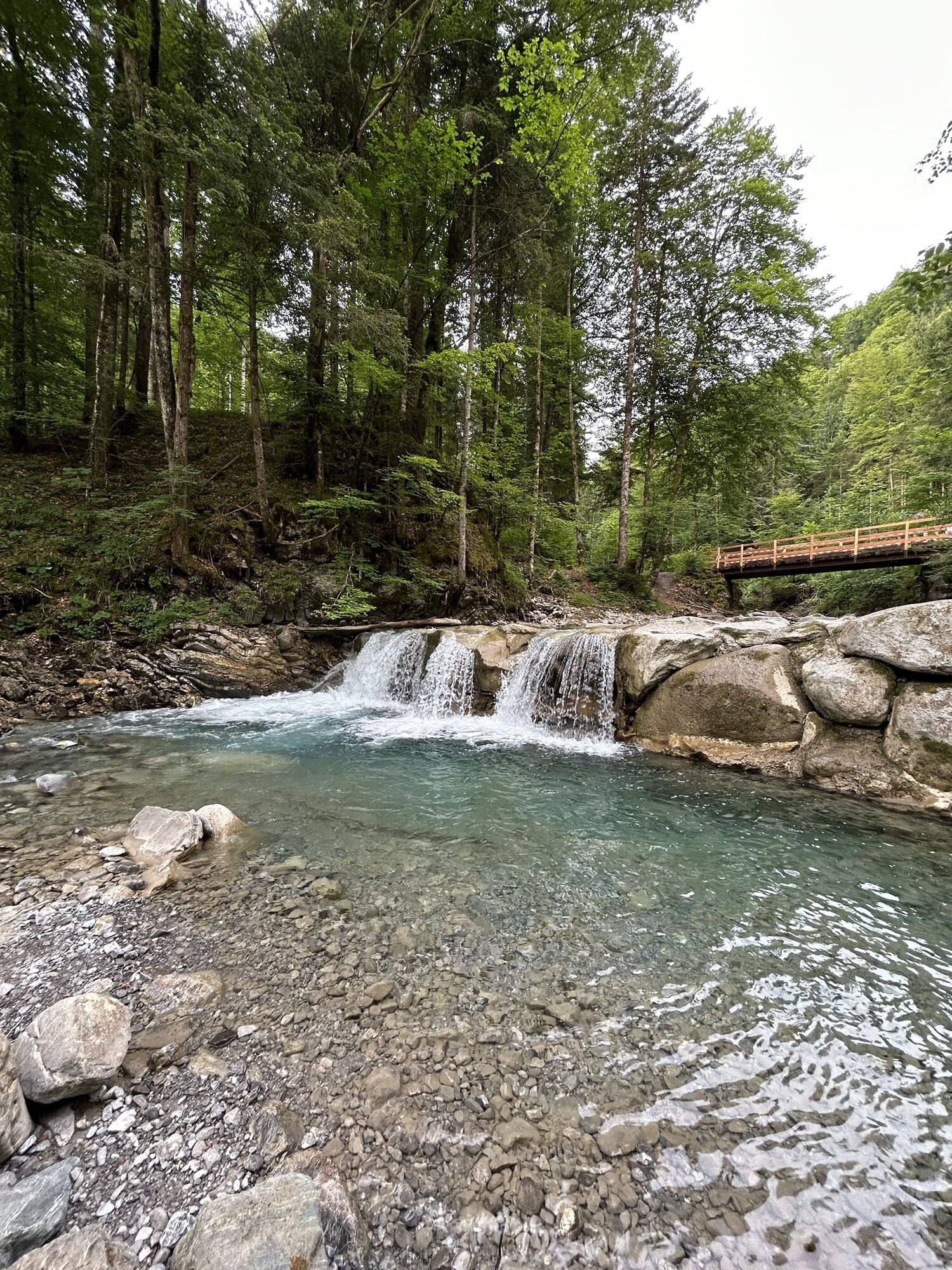
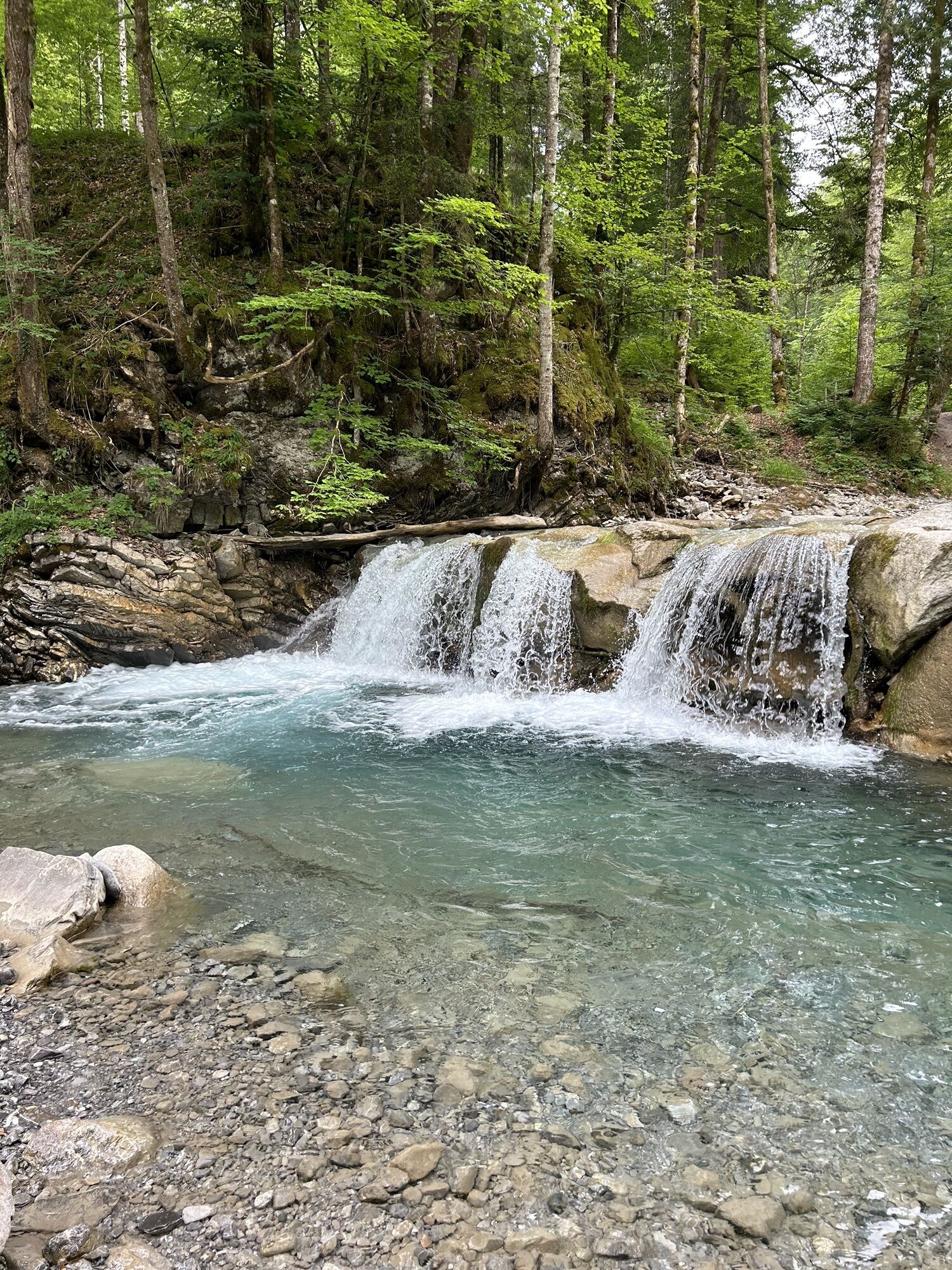
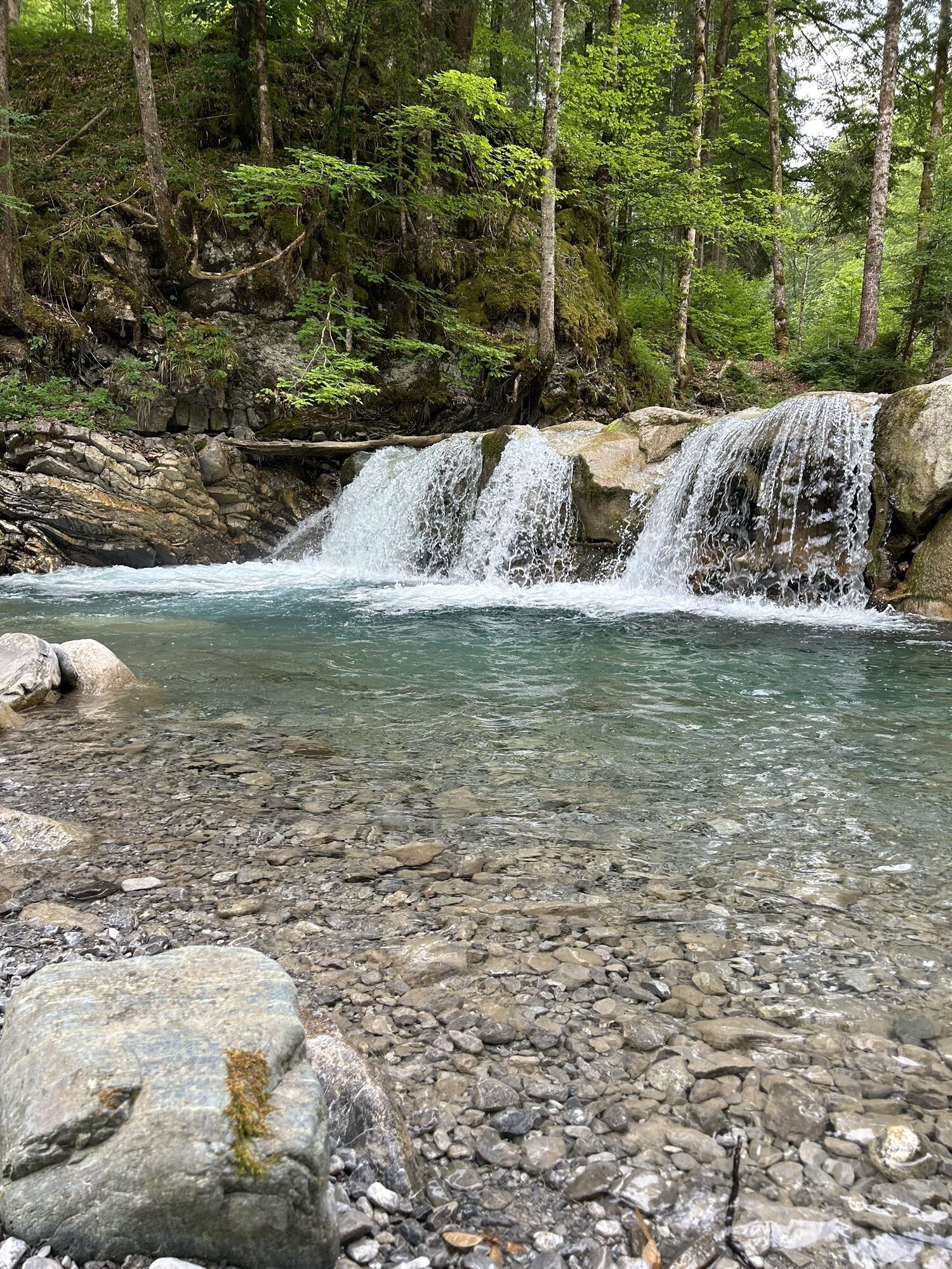
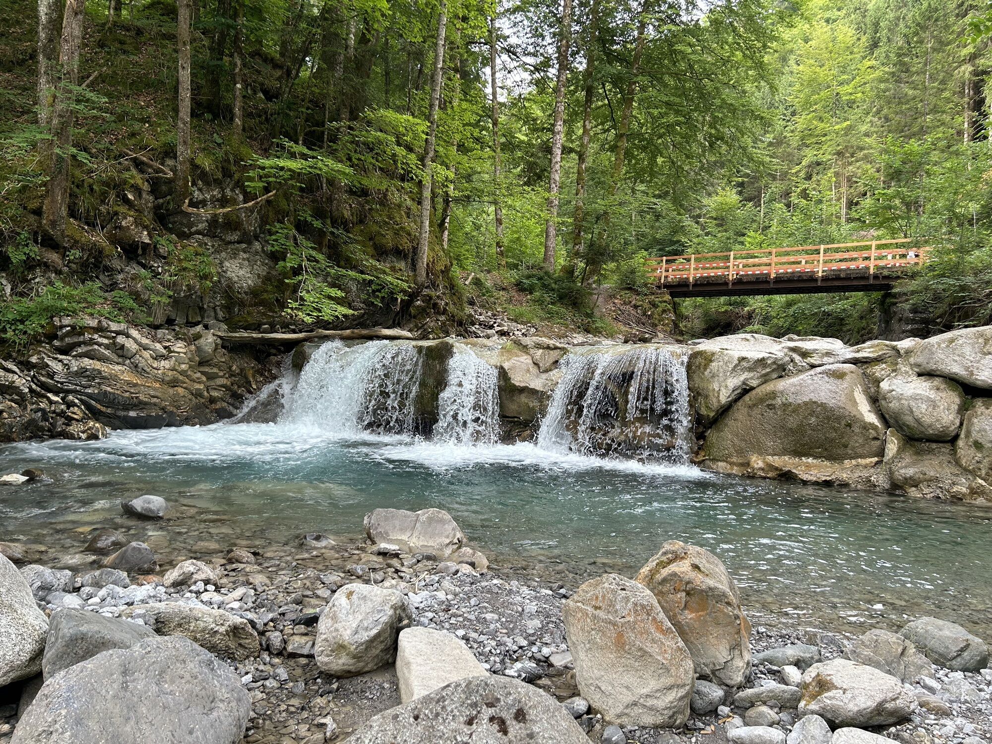
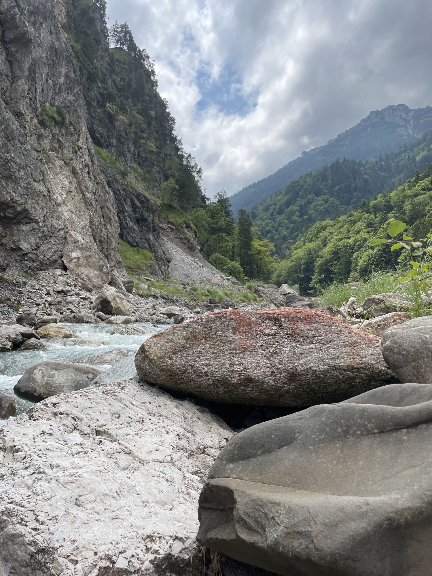
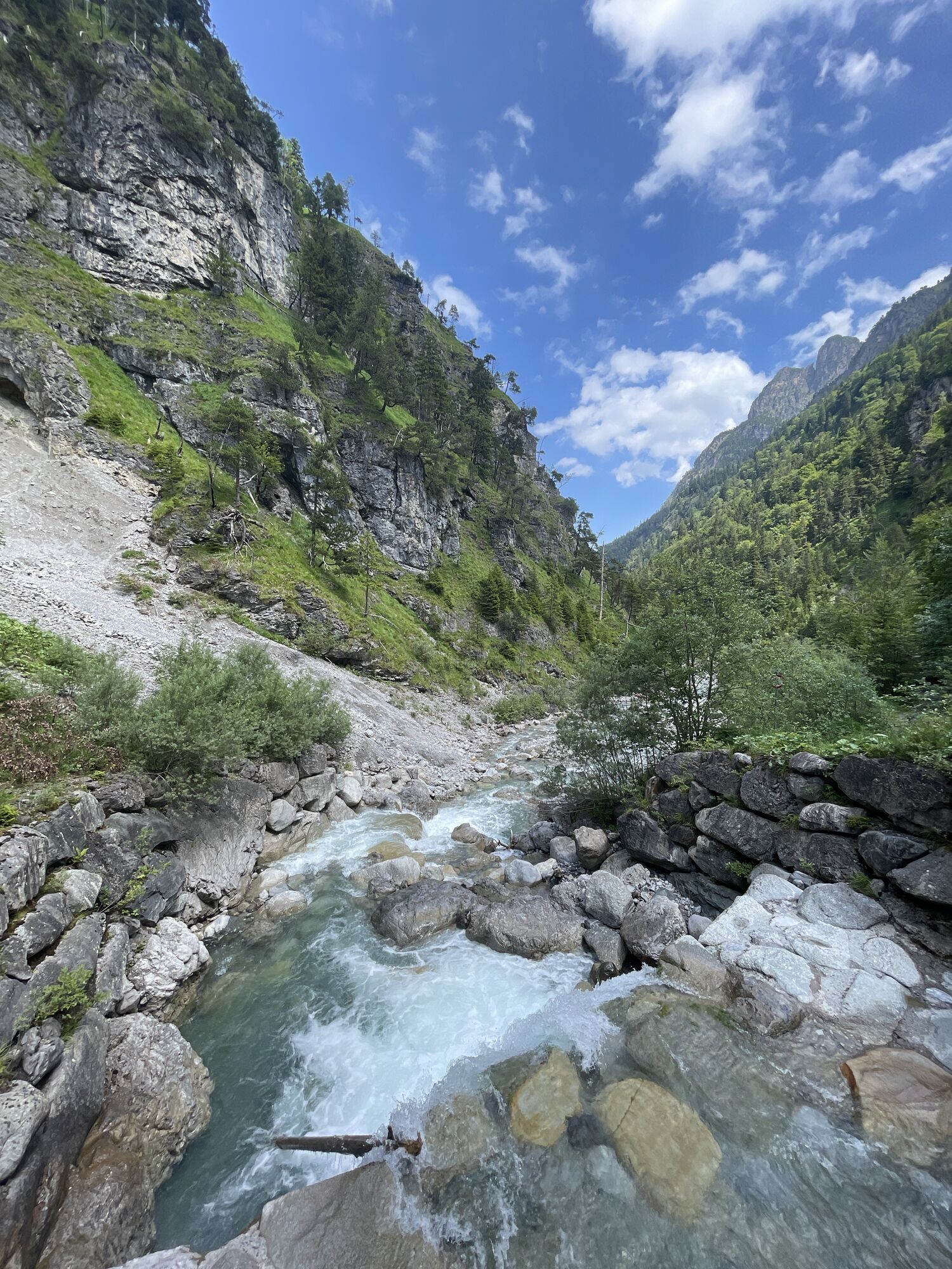
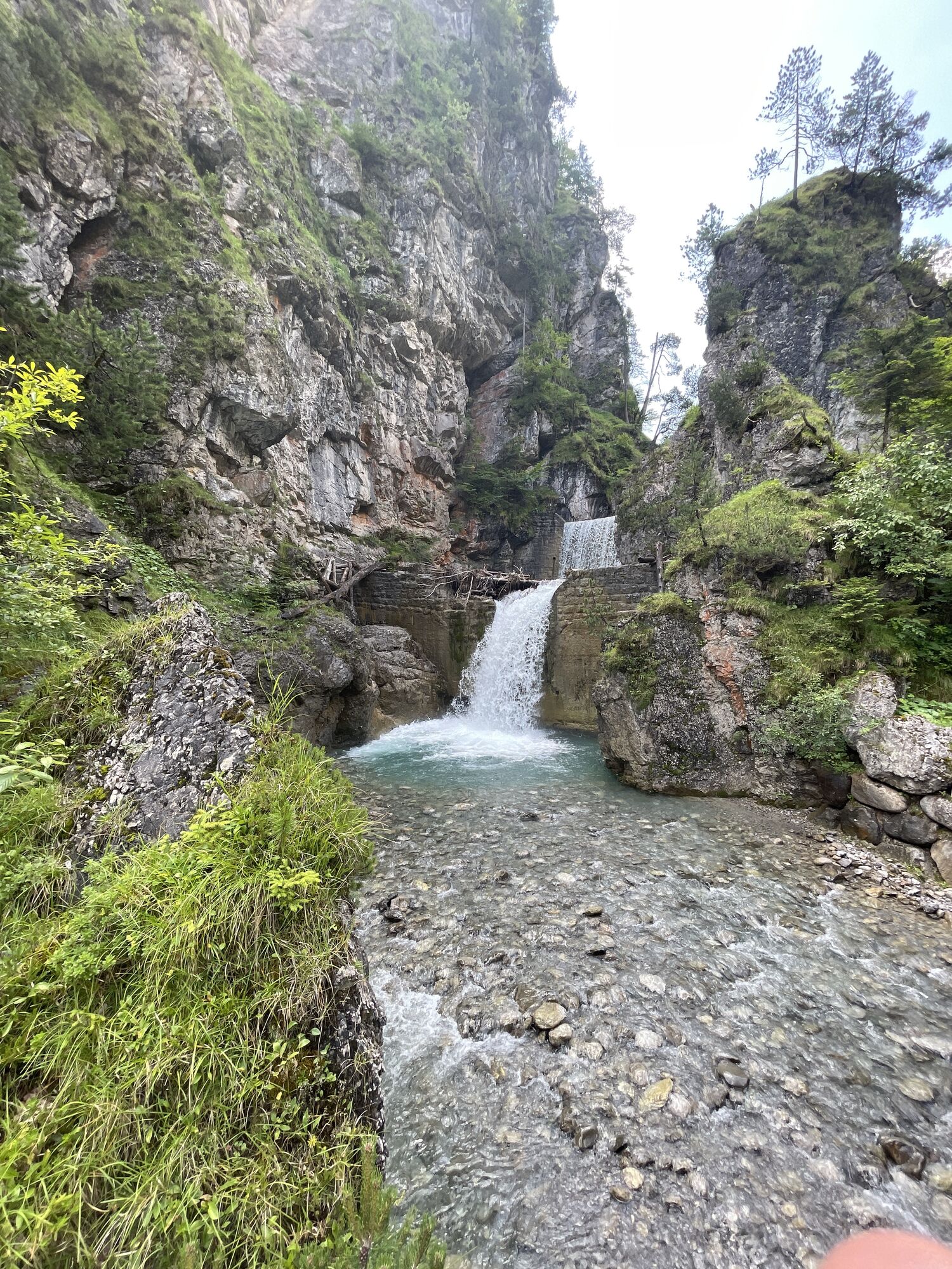
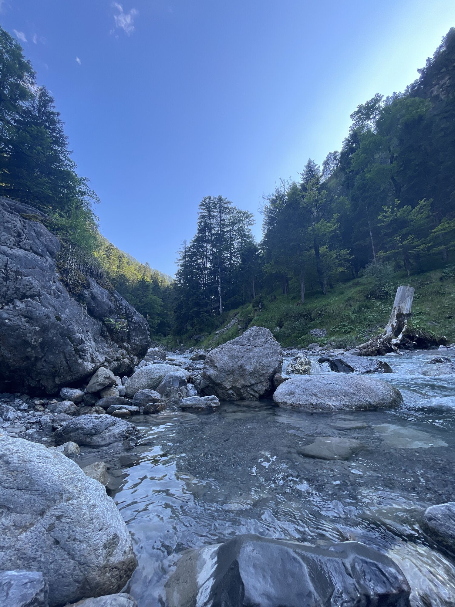
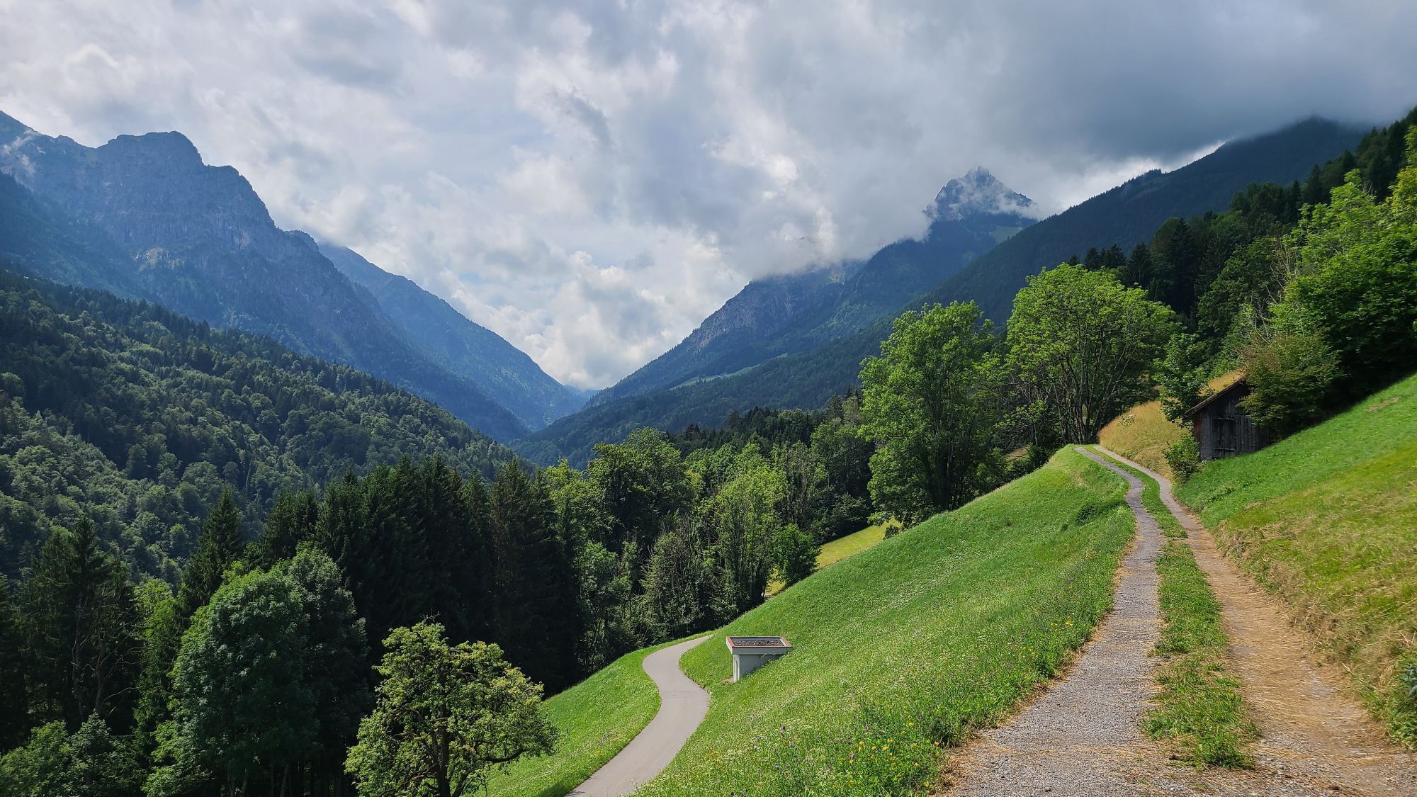
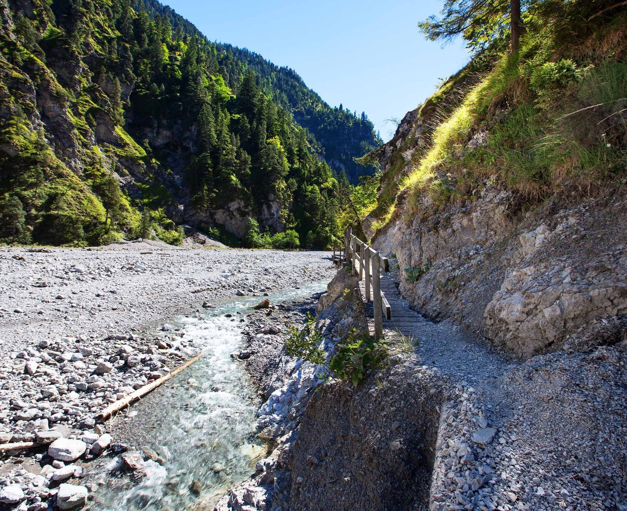
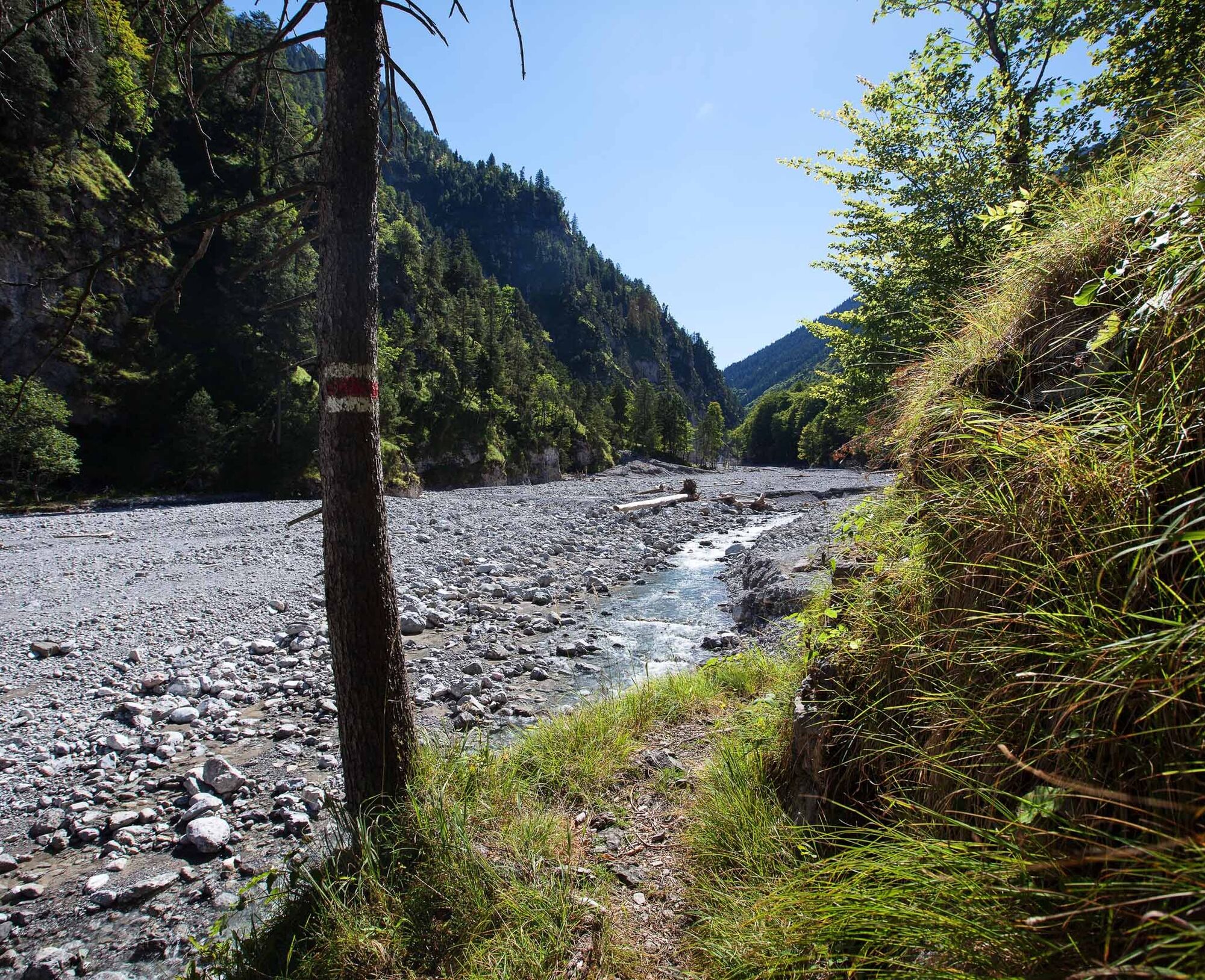
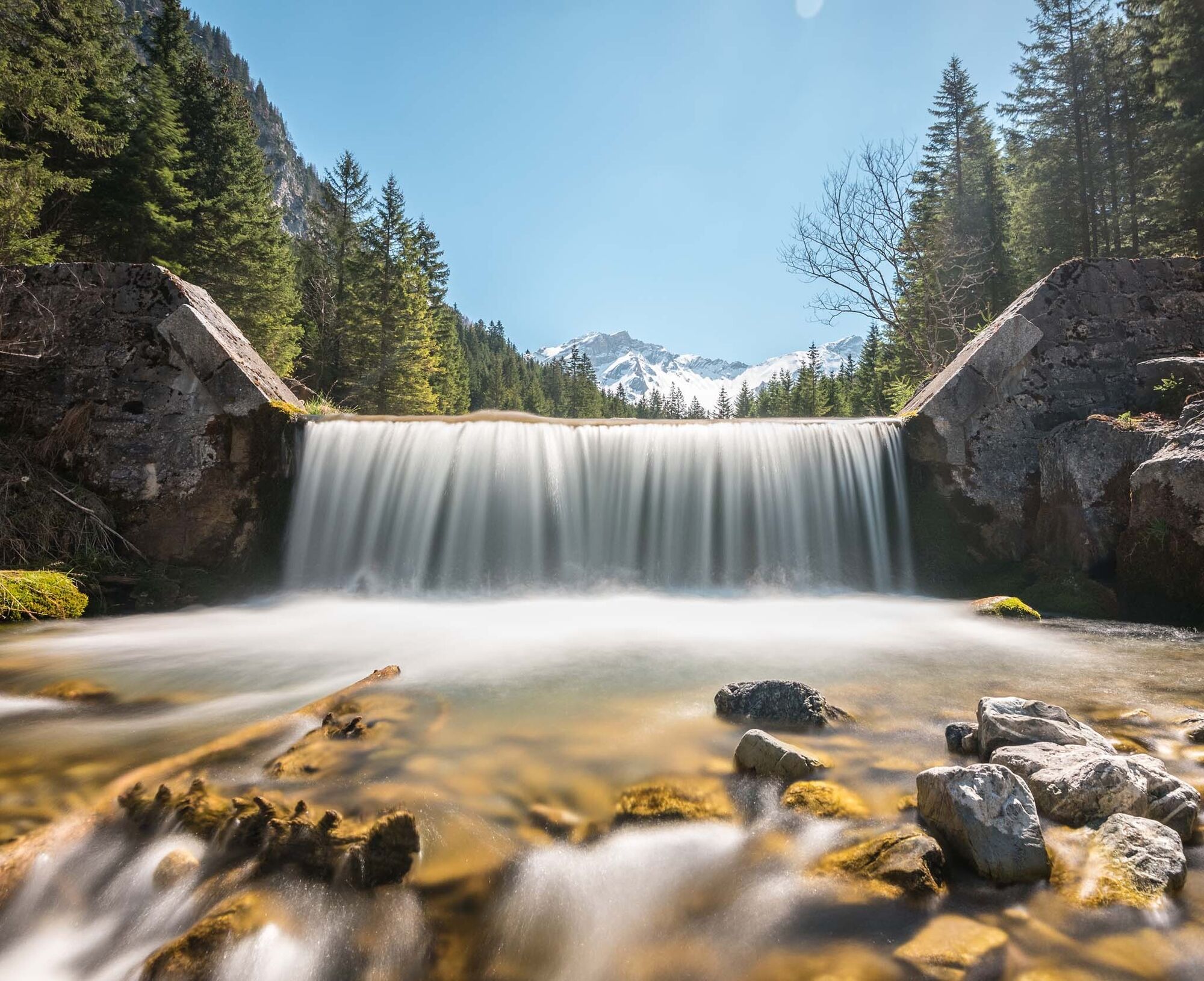
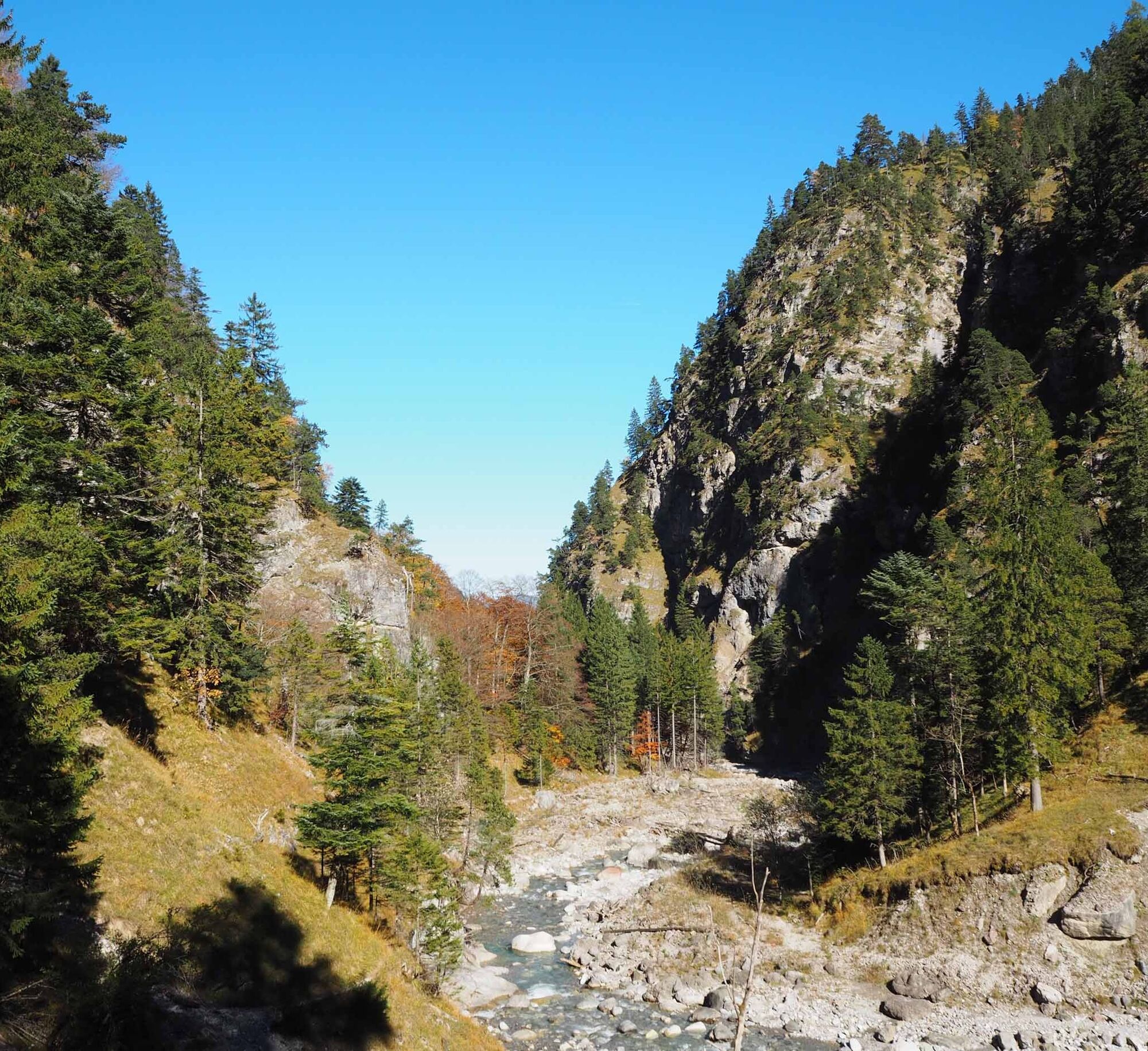
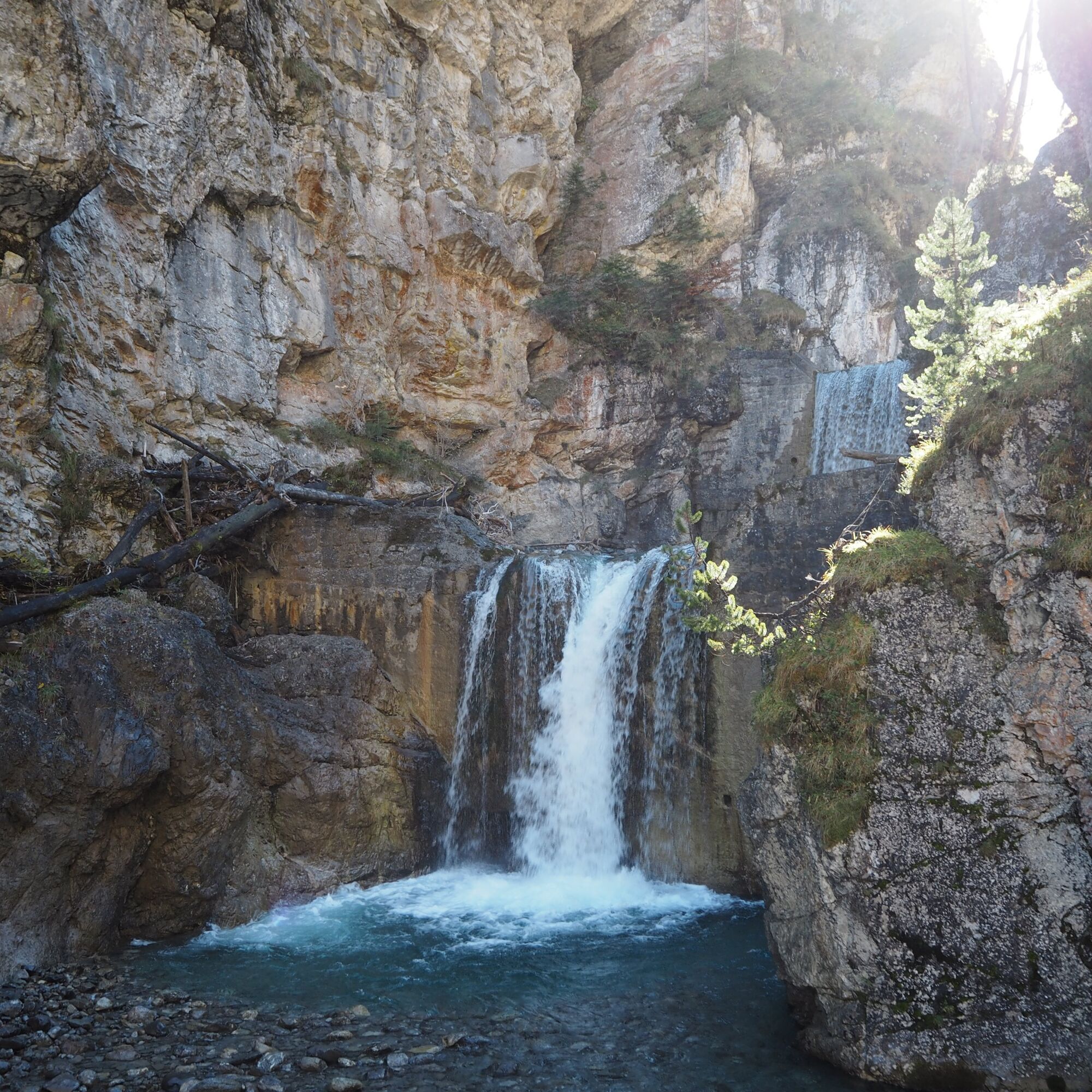
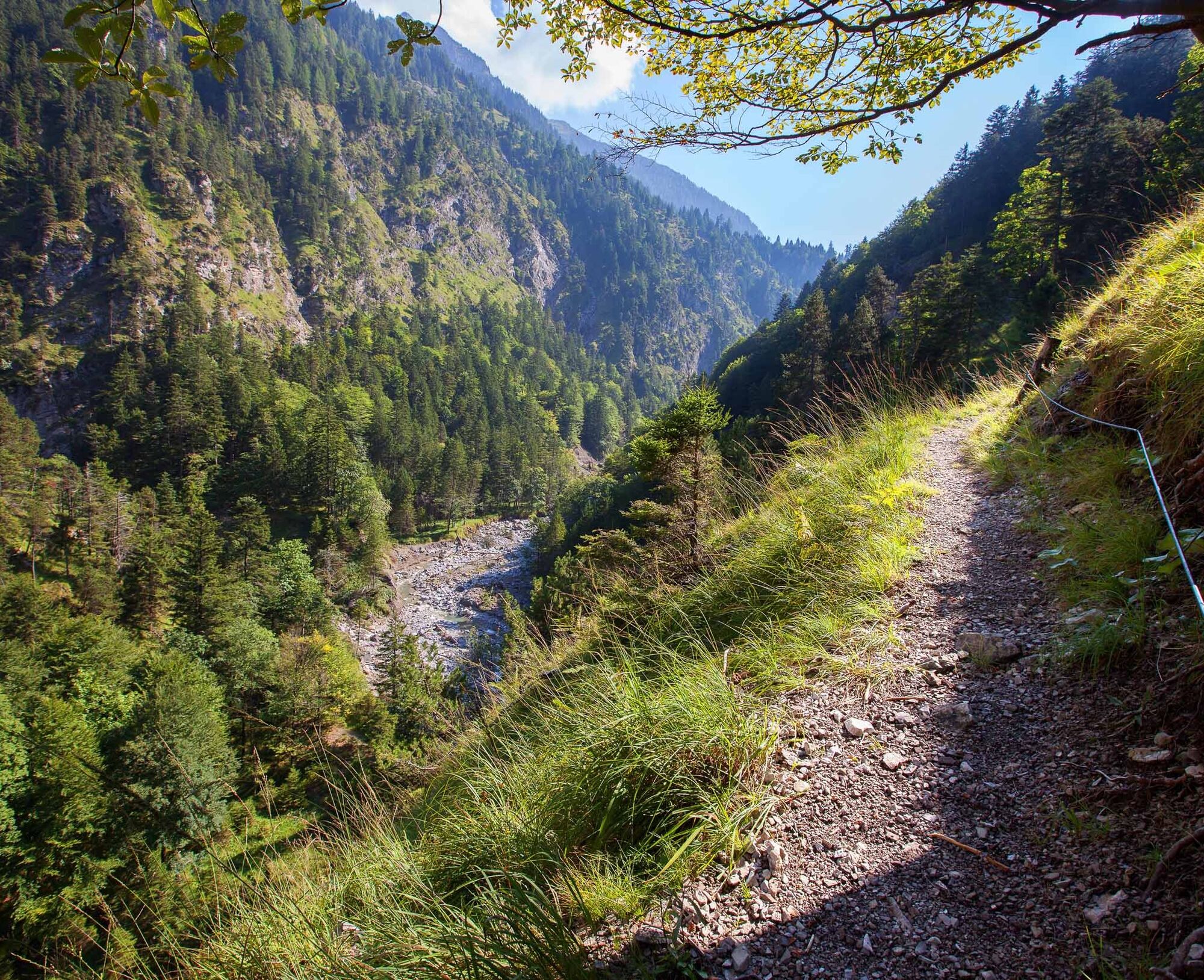
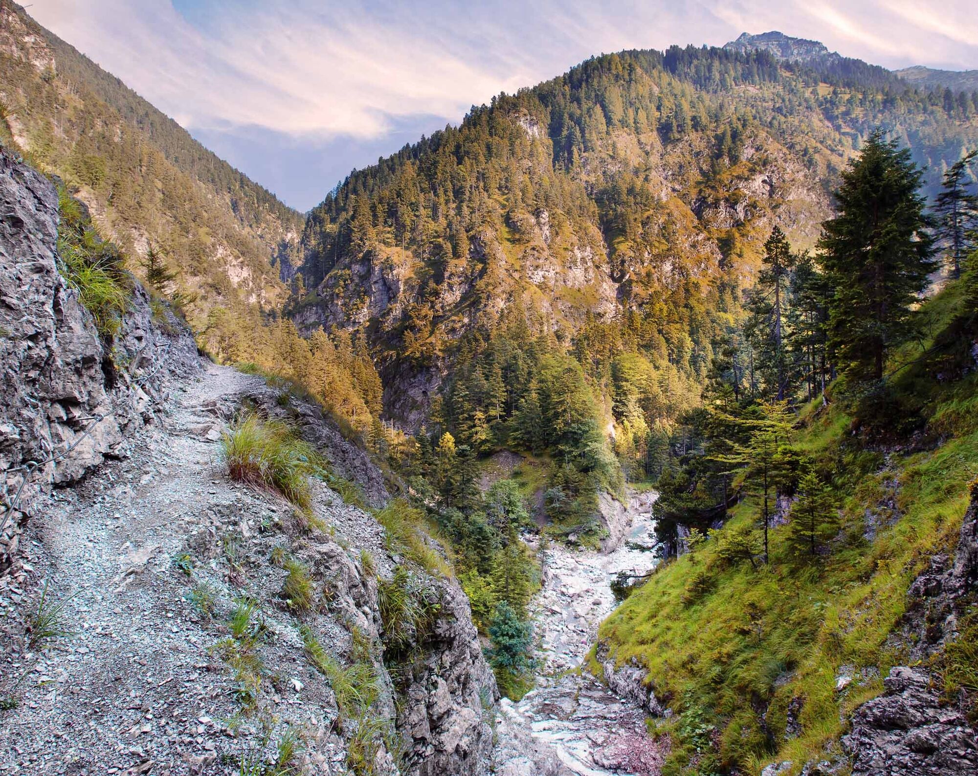
The Samina is the soul of Liechtenstein's alpine waters. It is dammed up at the hamlet of Steg, where the first footbridge has bridged the river since time immemorial. From the "Steg, Tunnel" bus stop,...
Hereyou can find all information about hiking in Liechtenstein at a glance!


Steg - Bödastall - Falleck - Amerlügen
Careful planning is required before embarking on a tour. We recommend that you check the routes and weather conditions with the local information offices beforehand. Depending on the time of year and weather conditions, this route may be closed or interrupted.
Don't forget your passport or identity card!
Return: Bus route Amerlügen - Frastanz, change to bus to Feldkirch Bahnhof, continue by bus to Schaan Post and Vaduz Post, where the bus returns to the starting point in Steg. At weekends, the Frastanz - Amerlügen bus only runs on demand; book in advance by 8 p.m. the day before: phone +43 (0) 664-1621144
www.lba.li
Parking at the Steger Tunnel (1,301 m)
In the fall, when the first snow lies on the mountains and the valley shines in golden autumn leaves, the white cascades of the Samina glisten beautifully in the sunlight.


Webové kamery z prohlídky
Stausee Steg
Alpe Gamp - Berghaus Mattajoch
Alpe Gamp - Berghaus Mattajoch
Feldkirch
Schilift Bazora
Schilift Bazora
Frastanz
Frastanz / Amerlügen
Gurtis - Balieferlift
Gurtis - Latzer Lift
Gurtis - Pultlift
Masescha
Malbun Zentrum
Talstation Malbun-Täli
Bazora
Gurtis
Frastanz
Feldkirch / Gampelün
Malbun
Vorderälpele
Steg Grund
Steg Bachschlaufe
Získejte přehled Vždy živě na místě s více než 9 500 webkamerami. bergfex Jako uživatel Pro si nyní můžete zobrazit odpovídající webové kamery pro mnoho prohlídek v aplikaci prohlídky z. Můžete si tak přímo prohlédnout aktuální podmínky. 
Oblíbené prohlídky v okolí
- 4.3
Üble Schlucht / Laterns
středníTuristika 6.30 km - 3.8
Fürstin-Gina-Weg
Turistika 10.7 km - 4.3
Mondspitze (Montspitze)
středníTuristika 7.97 km - 4.6
To the summit cross of the Alpspitz
středníTuristika 6.02 km - 3.8
Sassweg - von Malbun zum Sass-Seelein
Turistika 4.14 km - 4.9
From Malbun to the Schönberg
středníTuristika 12.4 km - 4.7
Alvier
středníTuristika 3.33 km - 4.6
Frümsen - Saxerlücke - Staubern, Schweiz
středníTuristika 14.0 km - 4.9
Durch die Mengschlucht ab Nenzing
středníTuristika 7.19 km - 4.7
An den Fuß der Zimba
středníTuristika 5.43 km
Pěší turistika a stopování


Nenechte si ujít nabídky a inspiraci pro vaši příští dovolenou
Vaše e-mailová adresa byl přidán do poštovního seznamu.





