


Circular hike from Steg to Silum
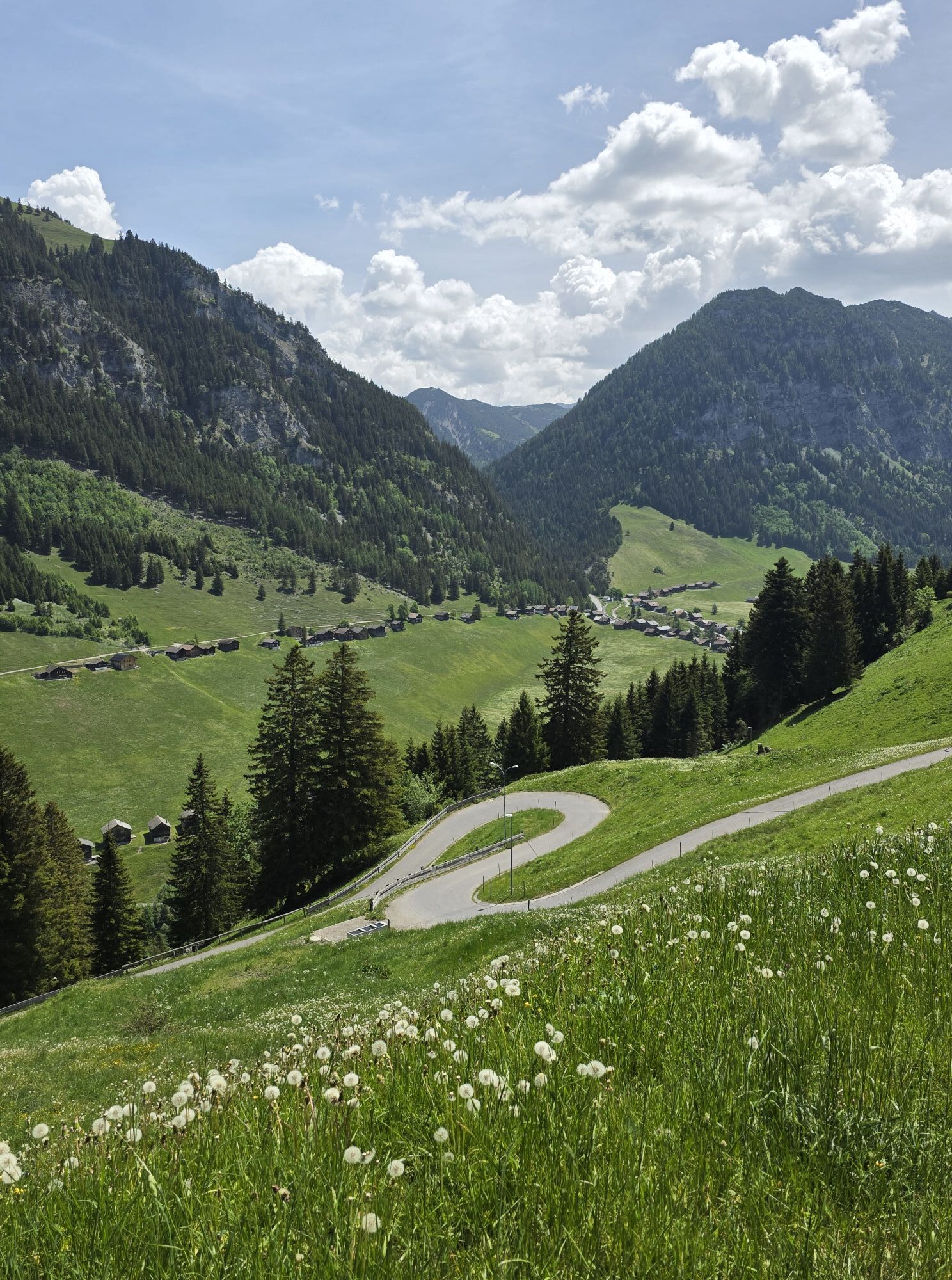

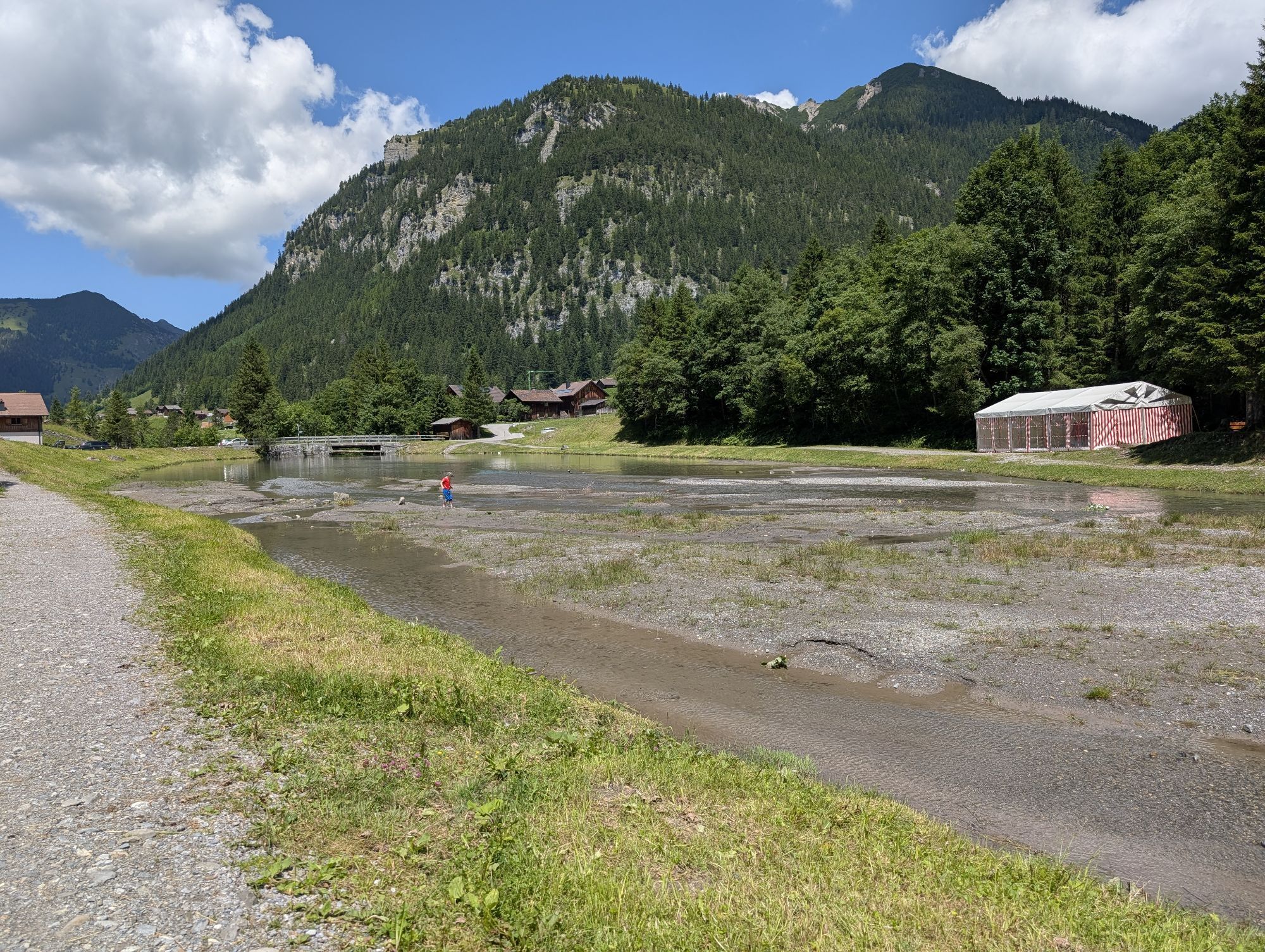
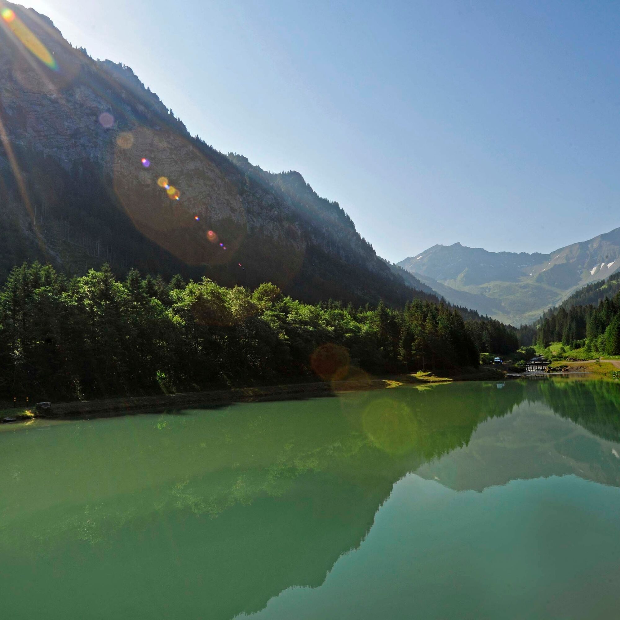
The easy circular hike starts at the idyllic Gänglesee in Steg. Along a cart track, the path first gently ascends to Alp Sücka at 1400 m above sea level. After a refreshment, the path continues on a paved...
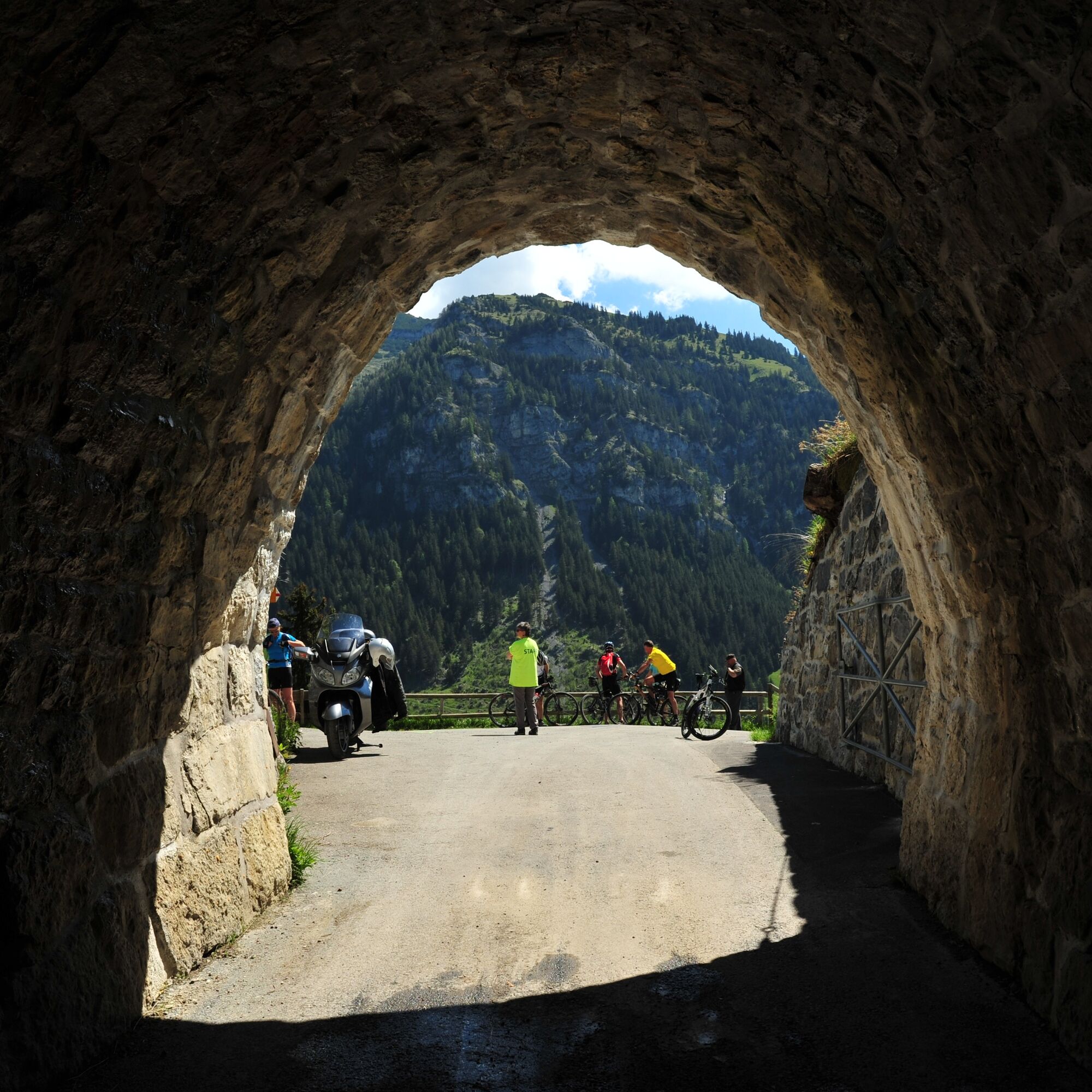
The easy circular hike starts at the idyllic Gänglesee in Steg. Along a cart track, the path first gently ascends to Alp Sücka at 1400 m above sea level. After a refreshment, the path continues on a paved road to the old tunnel. The route passes through the tunnel, and hikers reach the west side of the mountain ridge.
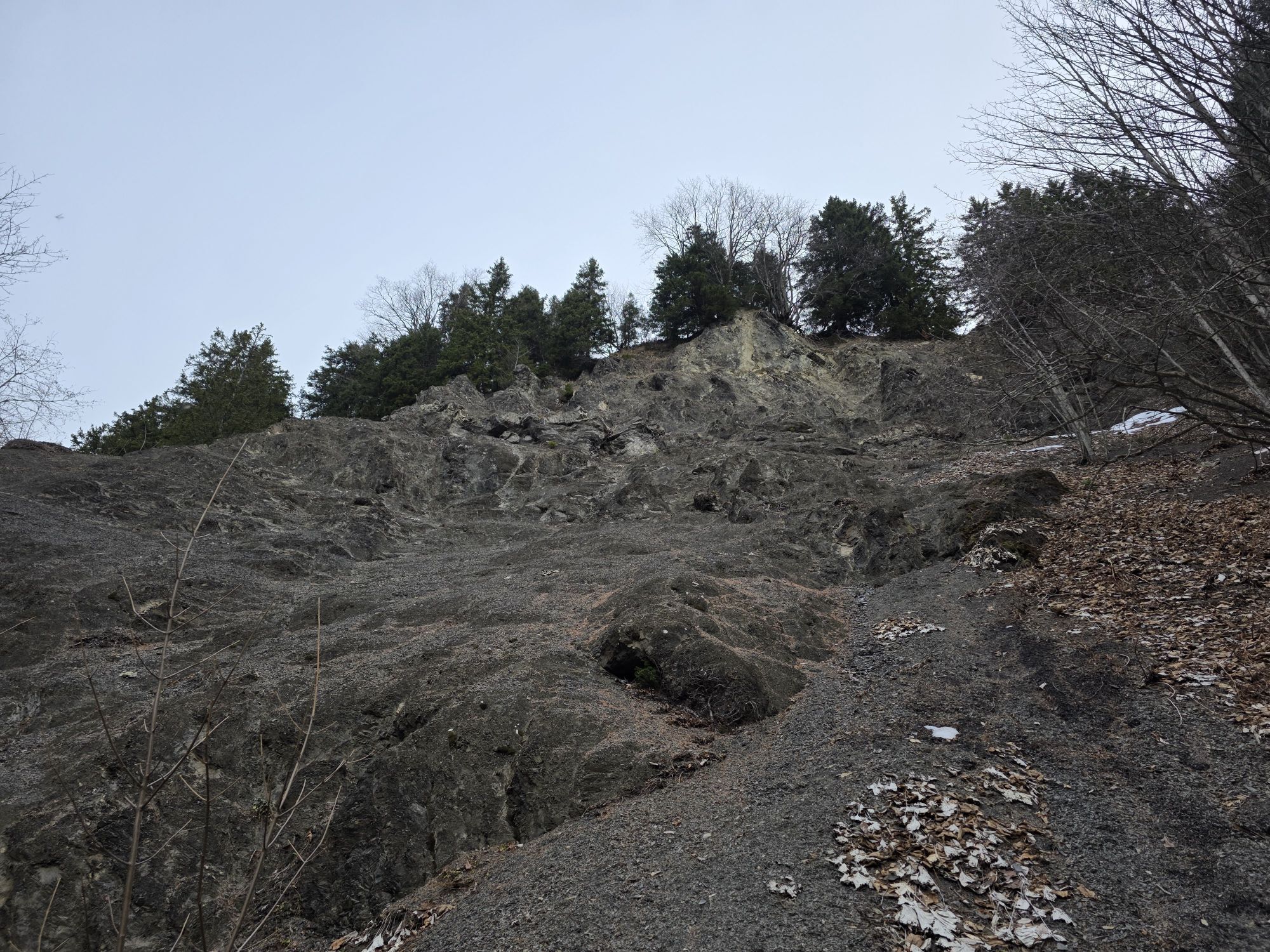
Soon after the tunnel, the path turns right onto a narrow mountain trail and leads through the forest to the hay barns of Alpelti at 1440 m above sea level. The beautiful, sun-browned hay huts as well as the flower meadows amid a small raised bog make this section a special experience.
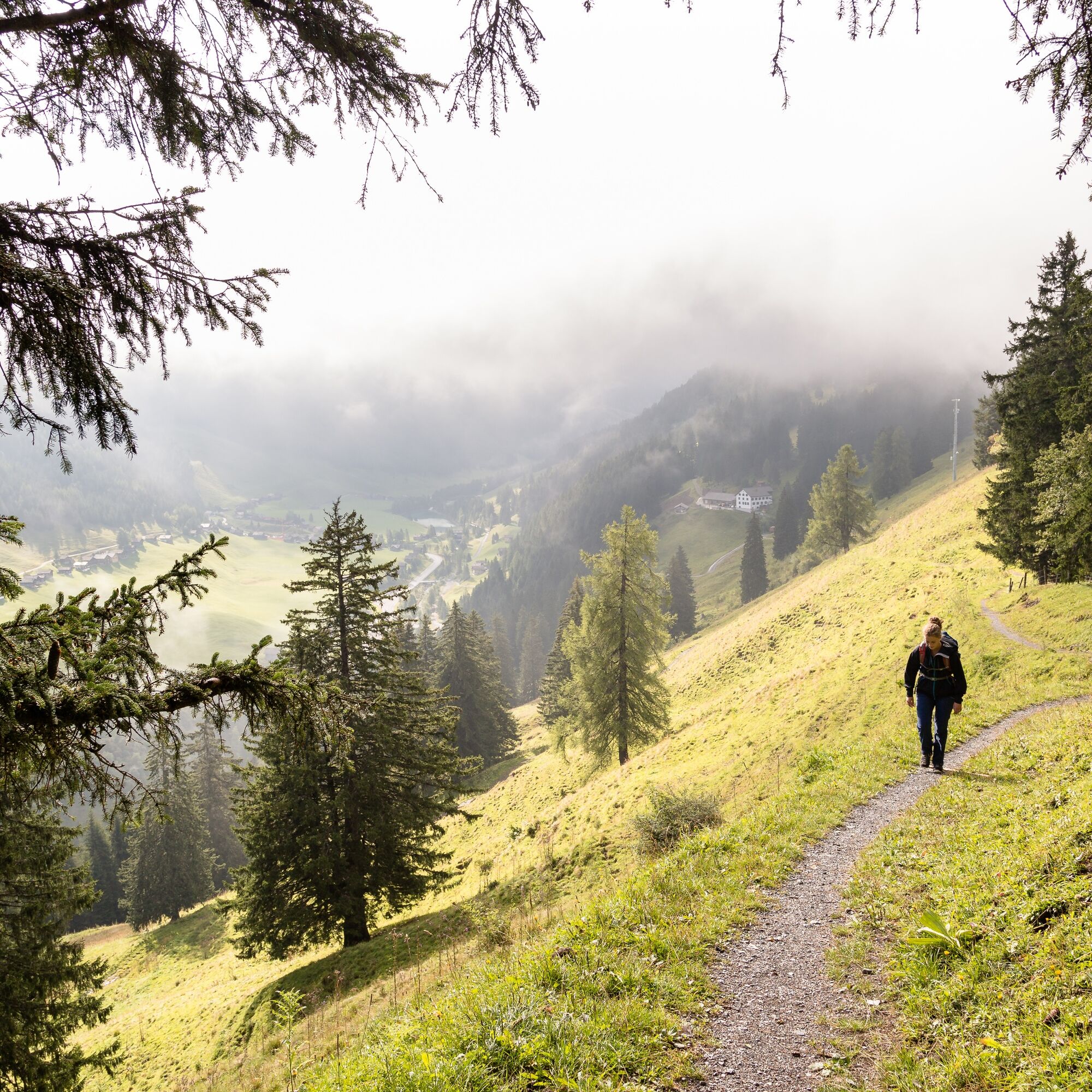
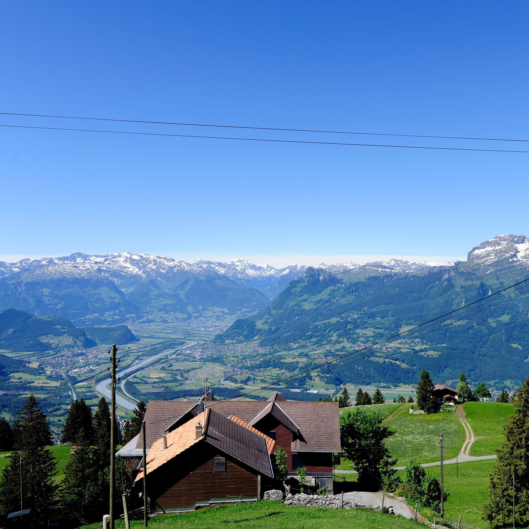
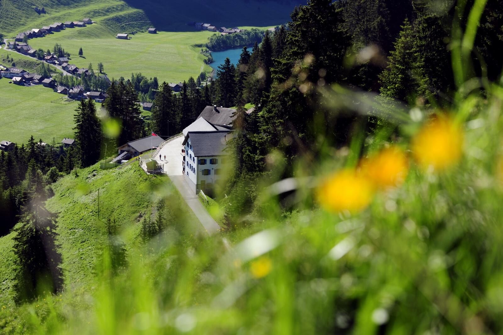
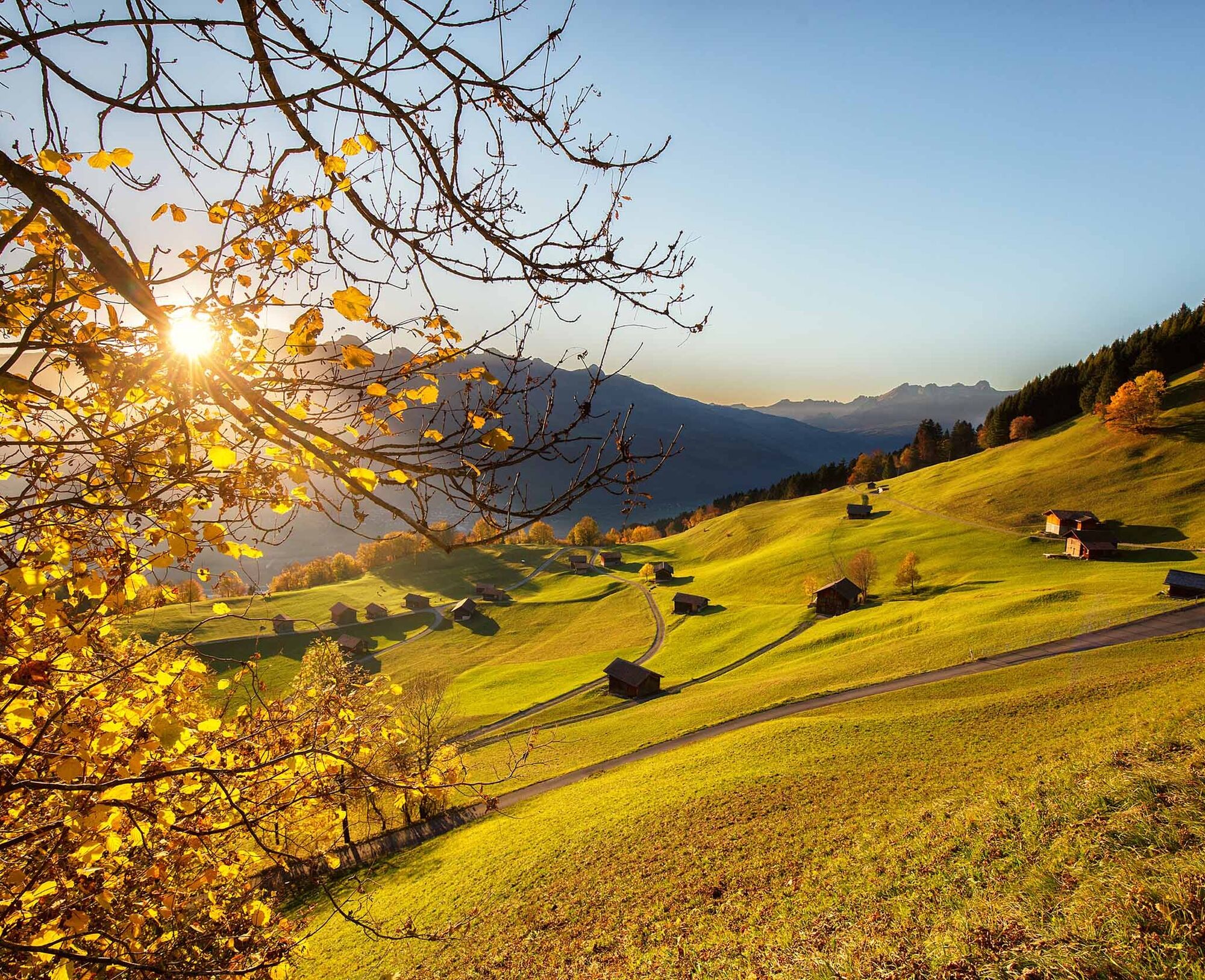
Soon after, the small hut settlement of Silum at 1469 m above sea level is reached. This is a good spot for a rest, as about half of the way has been covered. The path then gently ascends until reaching the ridge. Once on the ridge, the hiker is presented with a wonderful view of the Rhine Valley and the Swiss mountains to the west and the magnificent Liechtenstein mountains to the east.
The narrow mountain trail then descends slightly through the forest, passing the old tunnel and the mountain inn Sücka, returning to the starting point at Gänglesee in Steg.

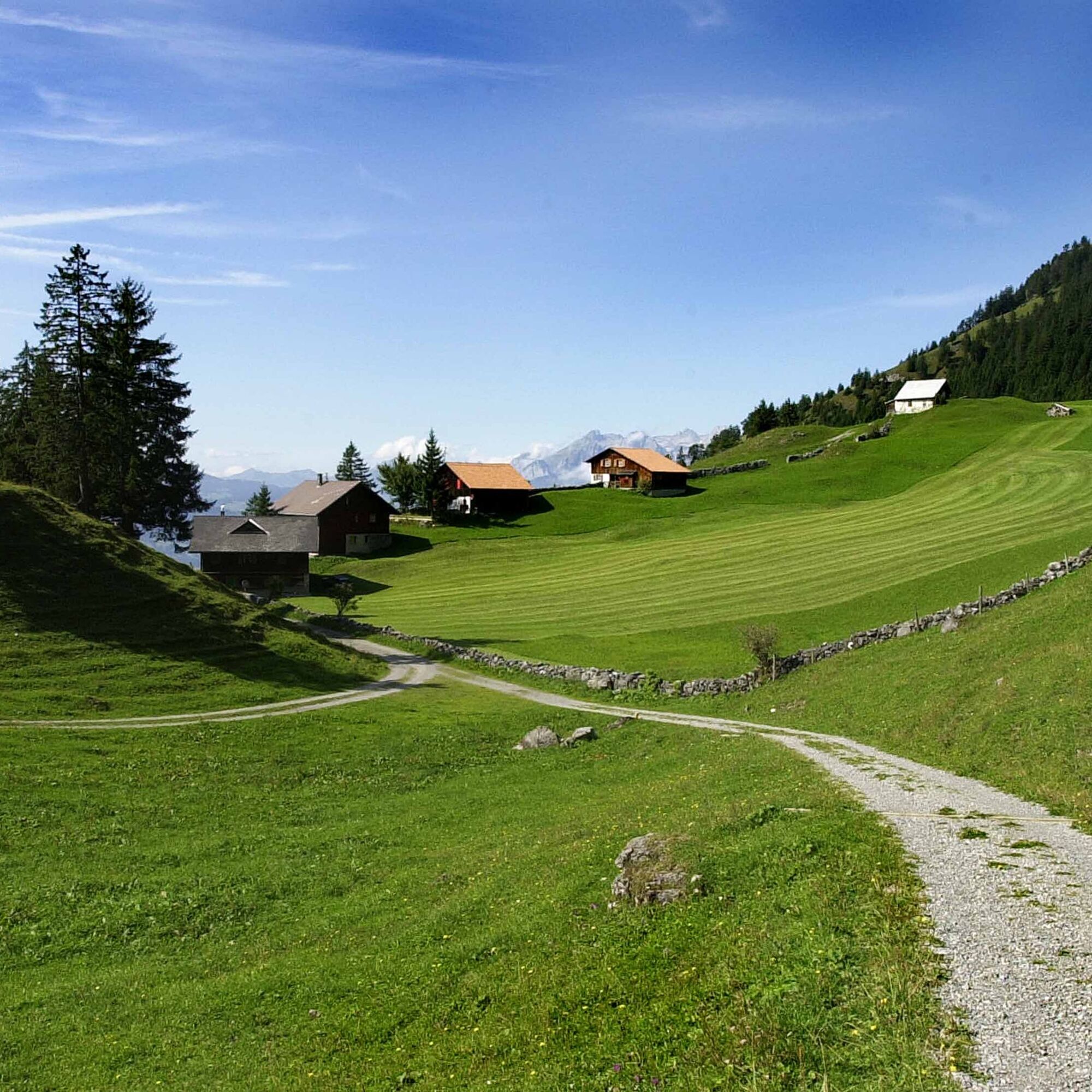
Steg - Alp Sücka - old tunnel - Kulm - Alpelti - Silum - Steg
Ano
To embark on a route, careful planning is required. We recommend that you consult local information offices in advance about the trails and weather conditions. Depending on the season and weather, this route may be closed or interrupted.
Bus from Vaduz Post to Steg Hotel stop
Large parking lot at Gänglesee in Steg
The cozy Restaurant Bergstübli and the Restaurant Seeblick invite you to take a break.

Oblíbené prohlídky v okolí
- 4,6
To the summit cross of the Alpspitz
středníTuristika 6,02 km - 4,1
Mondspitze (Montspitze)
středníTuristika 7,97 km - 3,7
Fürstin-Gina-Weg
Turistika 10,7 km - 3,8
Sassweg - von Malbun zum Sass-Seelein
Turistika 4,14 km - 4,8
From Malbun to the Schönberg
středníTuristika 12,4 km - 4,8
Douglashütte - Schesaplana
středníTuristika 7,31 km - 4,7
Alvier
středníTuristika 3,33 km - 3,6
Fürstensteig-Drei Schwestern
Turistika 12,9 km - 3,3
Wanderbares Zalimtal
středníTuristika 12,2 km - 4,9
Durch die Mengschlucht ab Nenzing
středníTuristika 7,19 km
Pěší turistika a stopování


Nenechte si ujít nabídky a inspiraci pro vaši příští dovolenou
Vaše e-mailová adresa byl přidán do poštovního seznamu.