


Normal route to Monte Coglians
Úroveň obtížnosti: T3

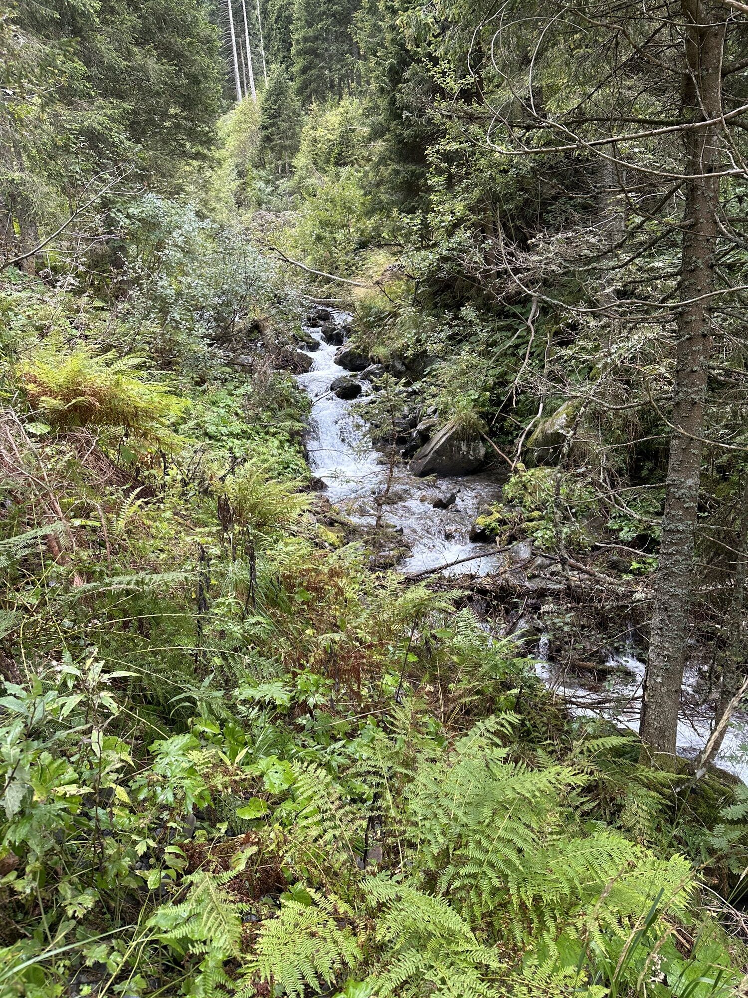
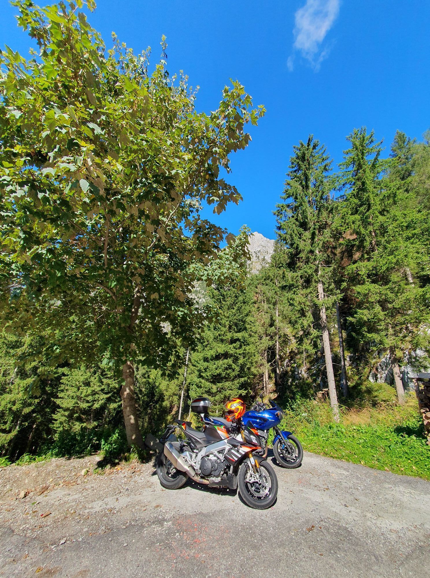
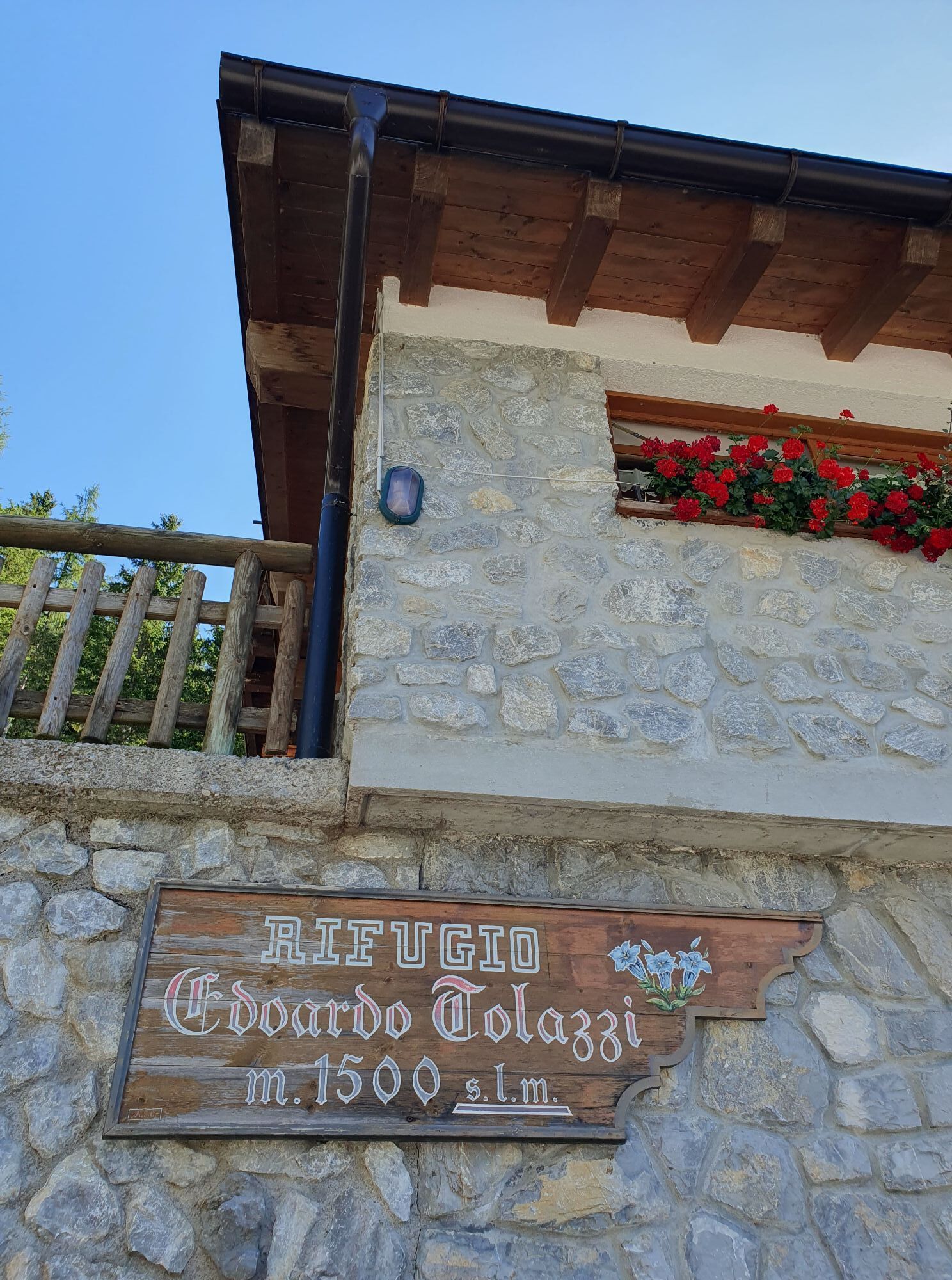
We leave the car at the Rifugio Tolazzi parking lot (1340 m); we follow the forest road that surrounds it and at the second hairpin we find the first shortcuts of trail 143 (white and red markers) which...
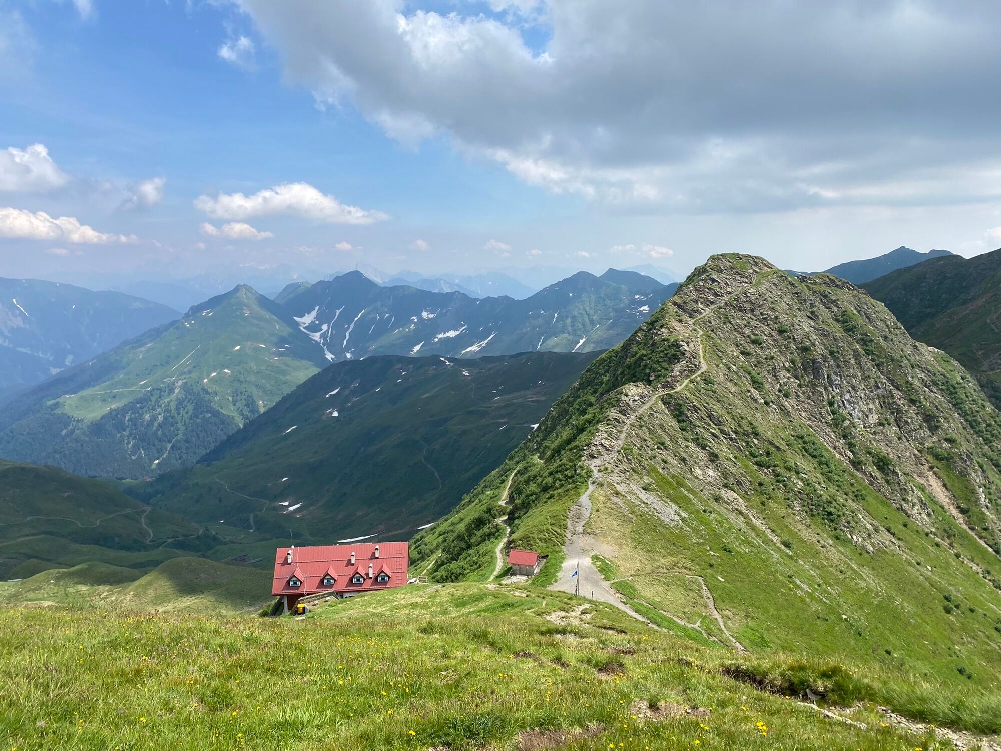
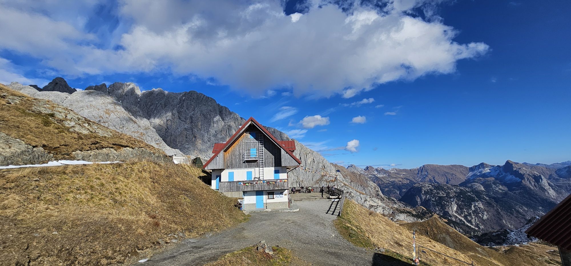
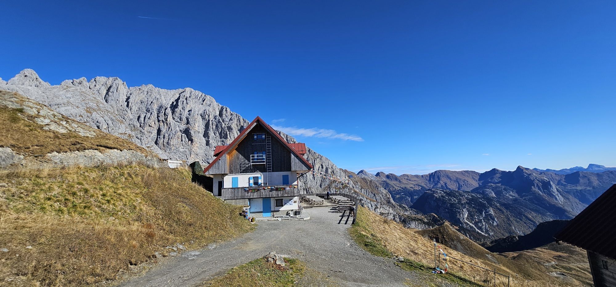
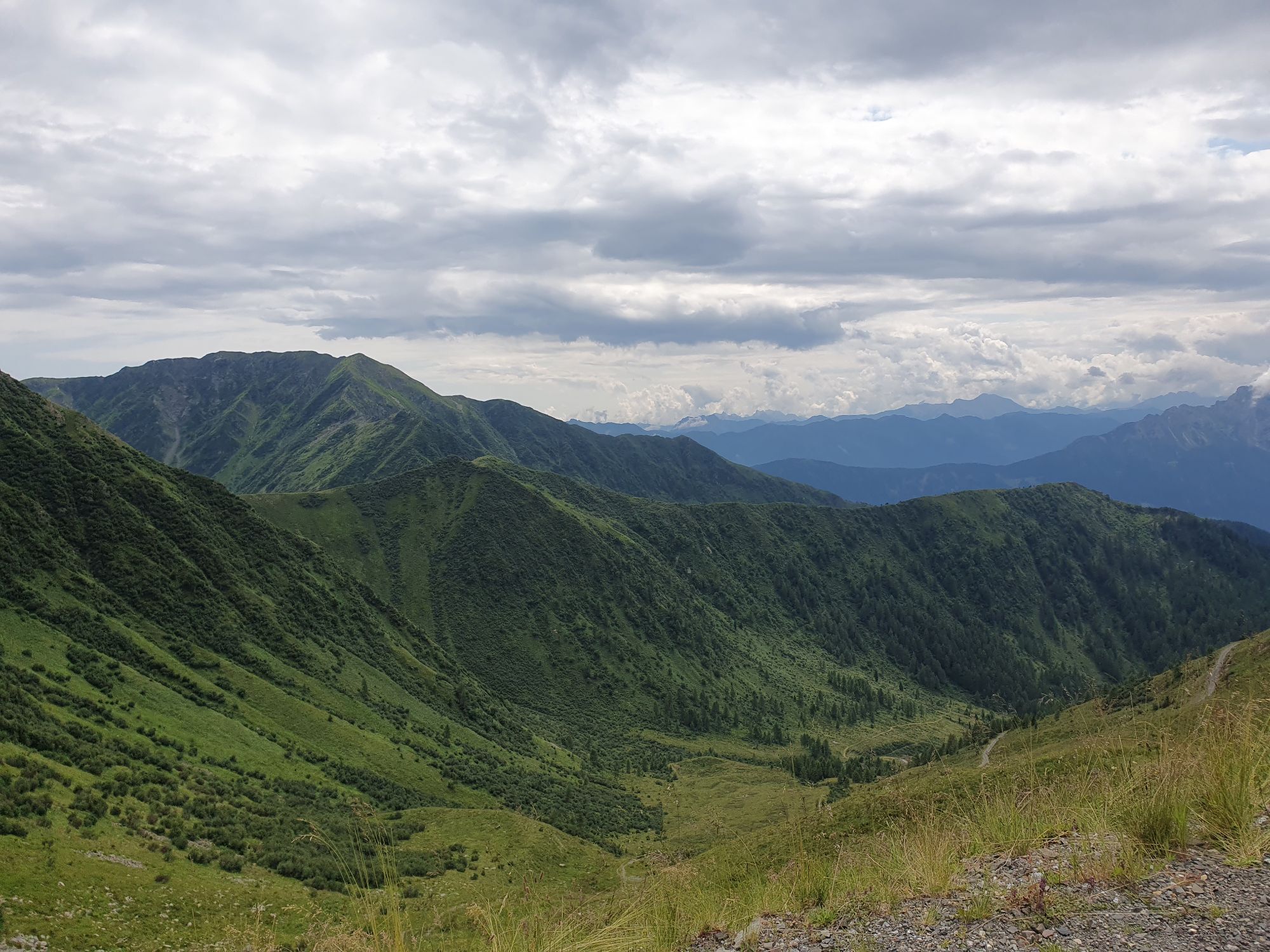
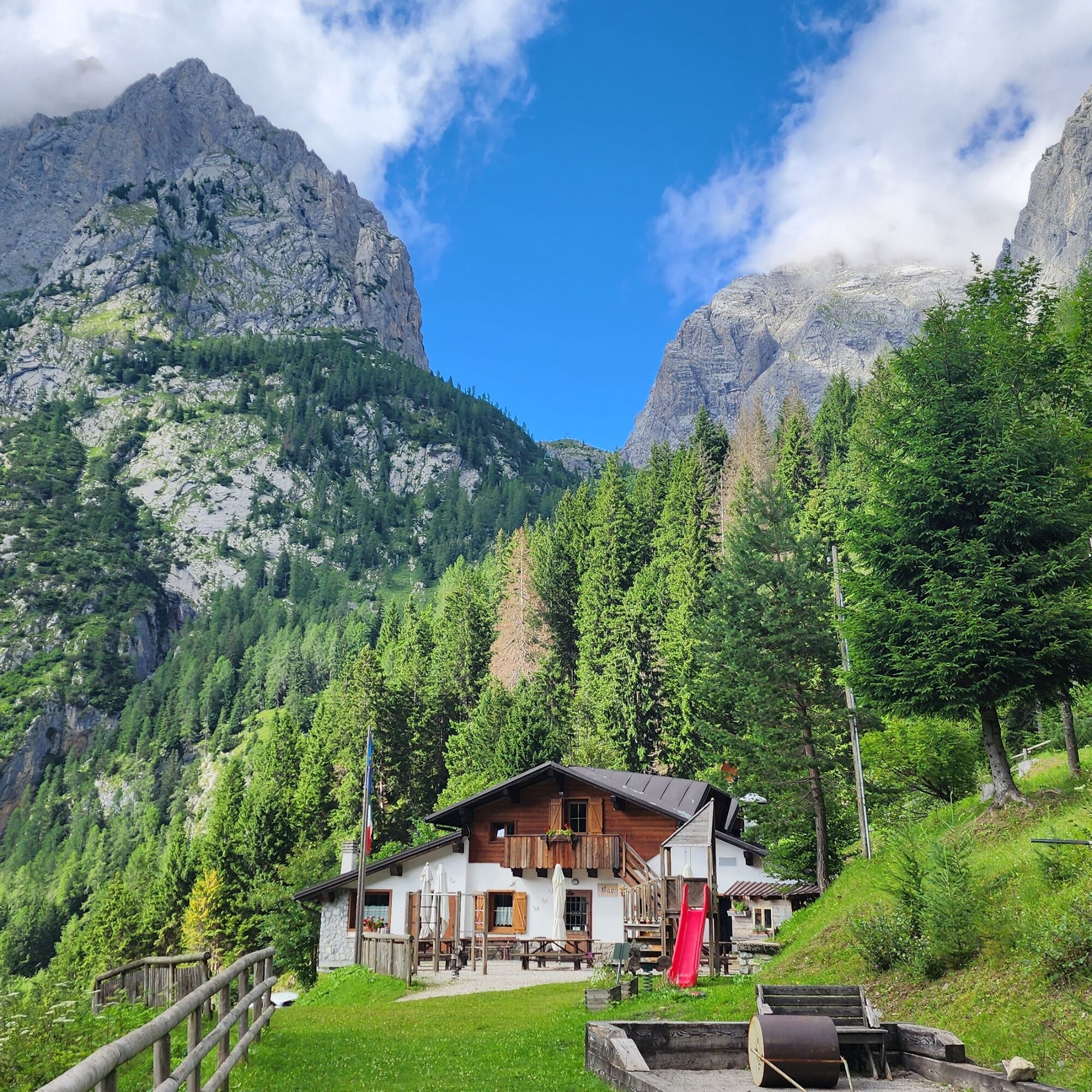
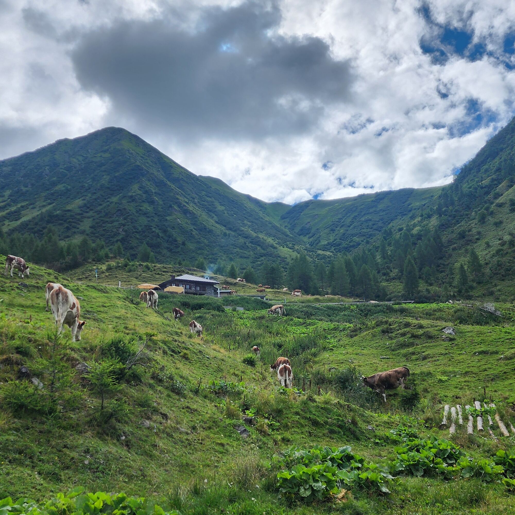
We leave the car at the Rifugio Tolazzi parking lot (1340 m); we follow the forest road that surrounds it and at the second hairpin we find the first shortcuts of trail 143 (white and red markers) which allow us to cut the hairpins of the long dirt road leading to Rifugio Marinelli. We pass the meadows of Malga Morareto (refreshment point, 1710 m) and climb to Forcella Morareet, beyond which stands the building of Rifugio Marinelli (2112 m).
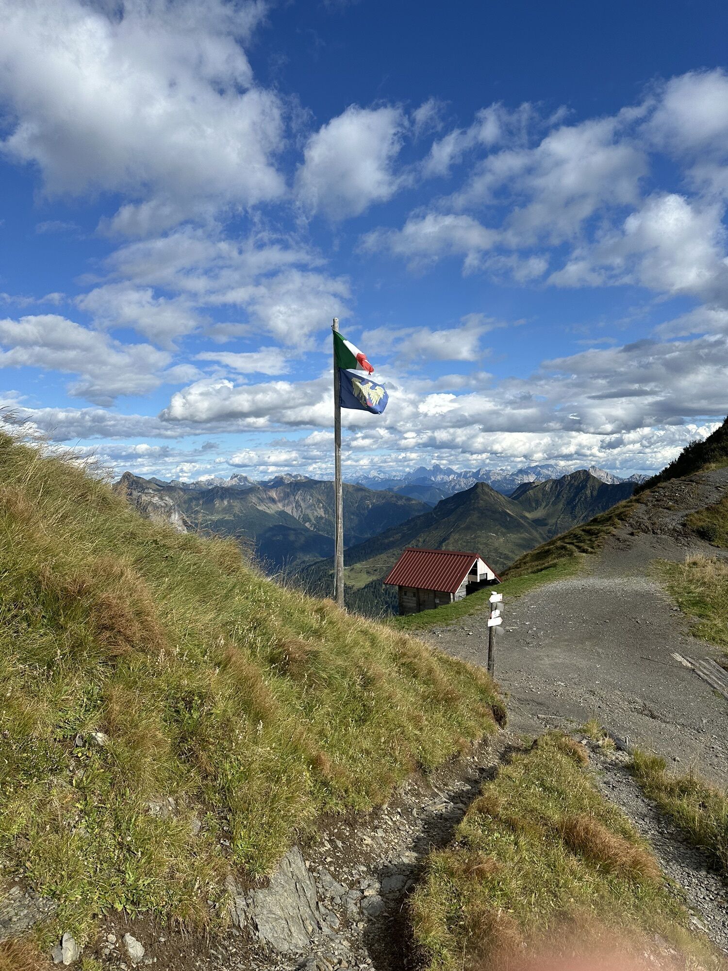
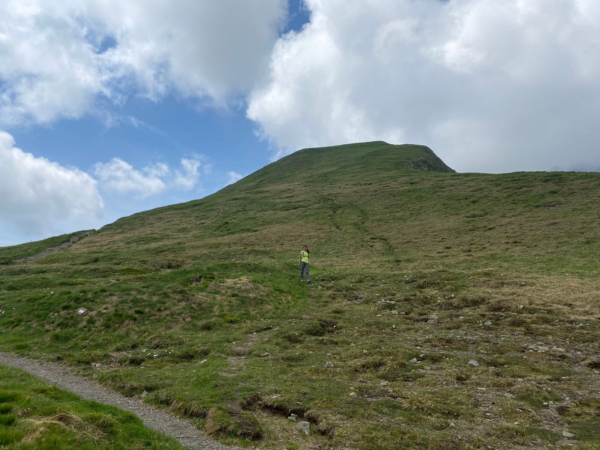
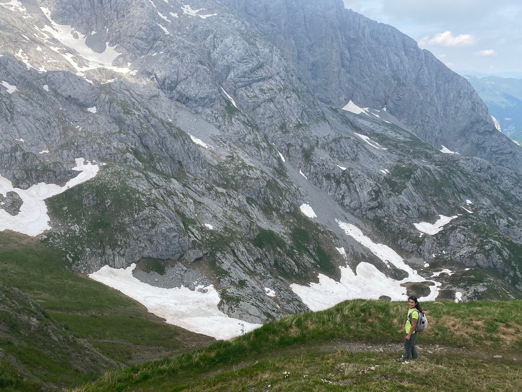
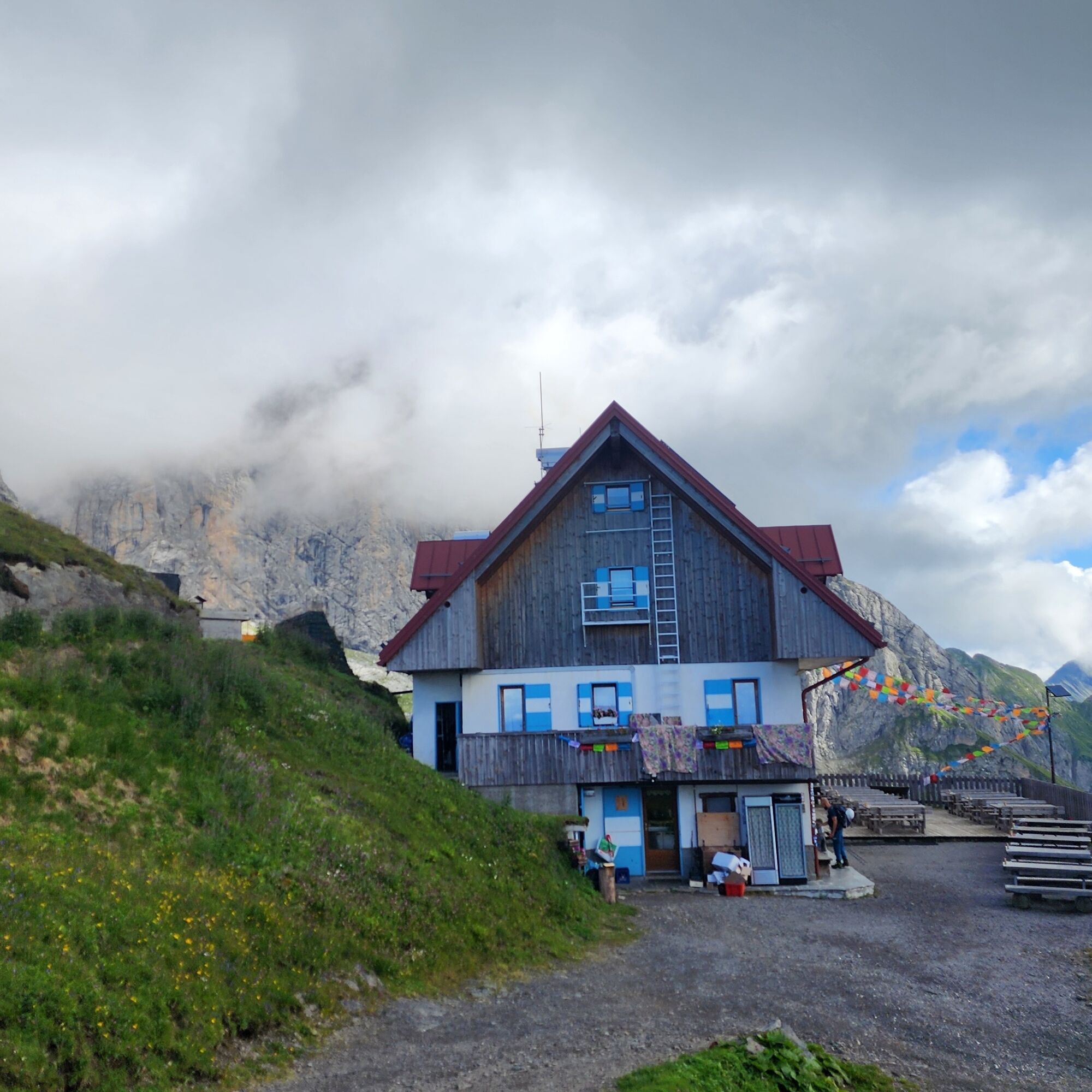
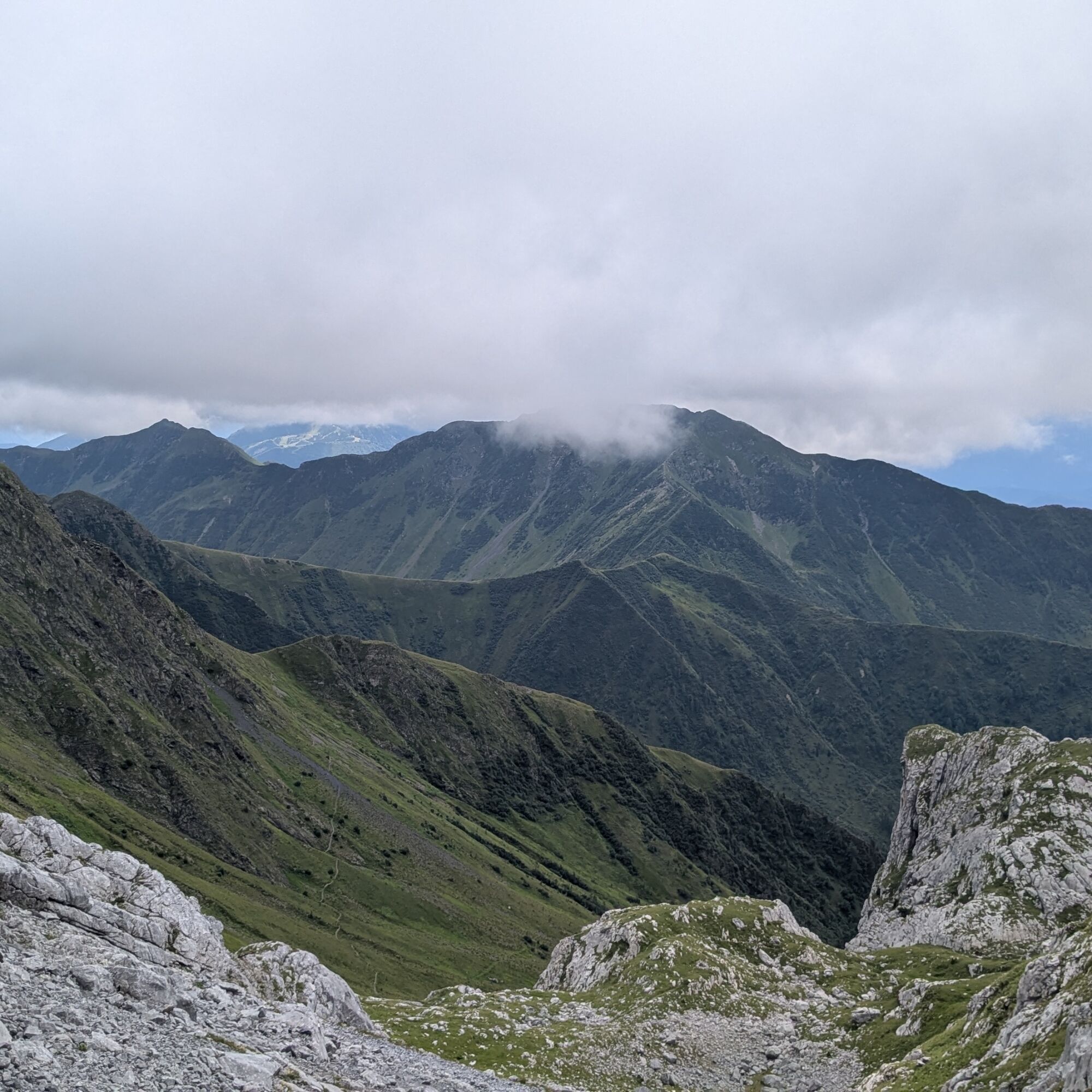
From Rifugio Marinelli there are two options (study possible routes on apps): take trail 143 which branches off the dirt road behind the refuge (this trail partly ascends Pic Chiadin before descending on a grassy saddle; after this, the only delicate point is overcoming, with the help of a metal cable, a couple of short exposed rock faces); or take trail 145, and at the junction at 2120 m continue uphill. Both trails meet at about 2300 m.
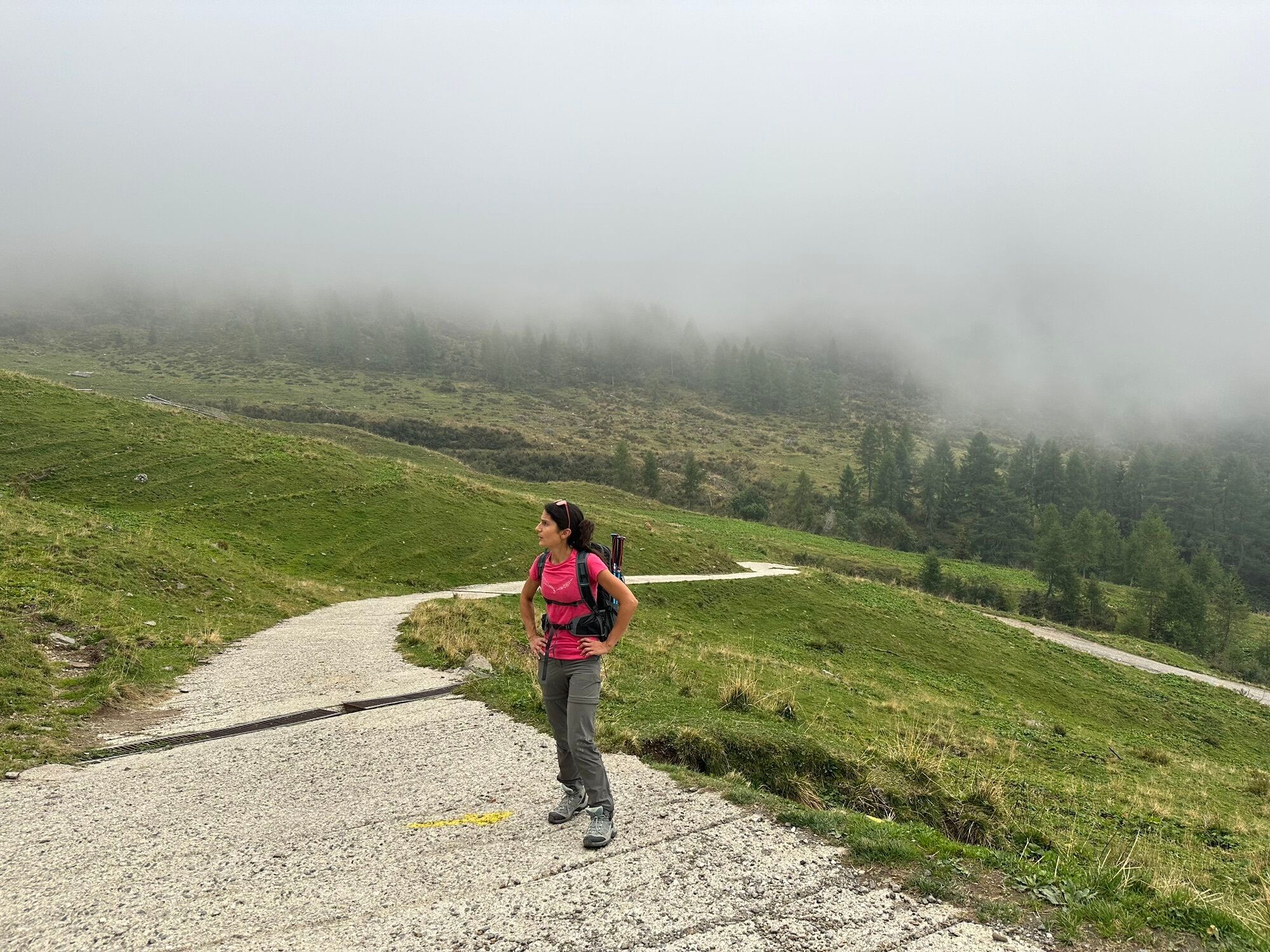
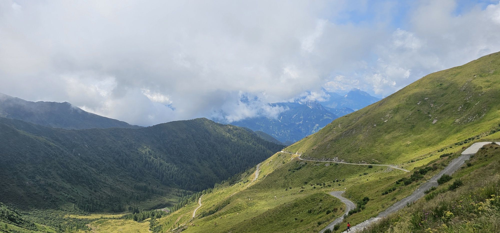
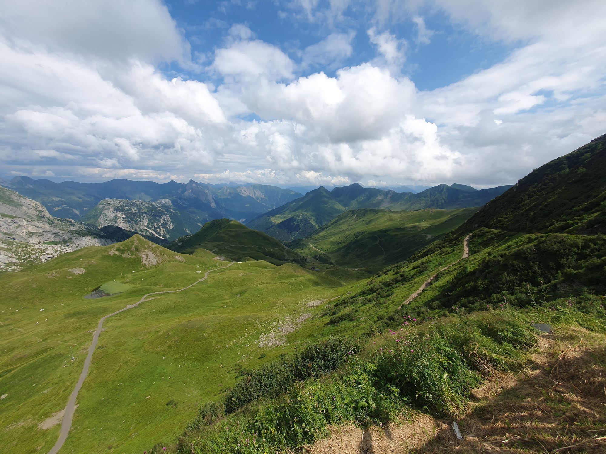
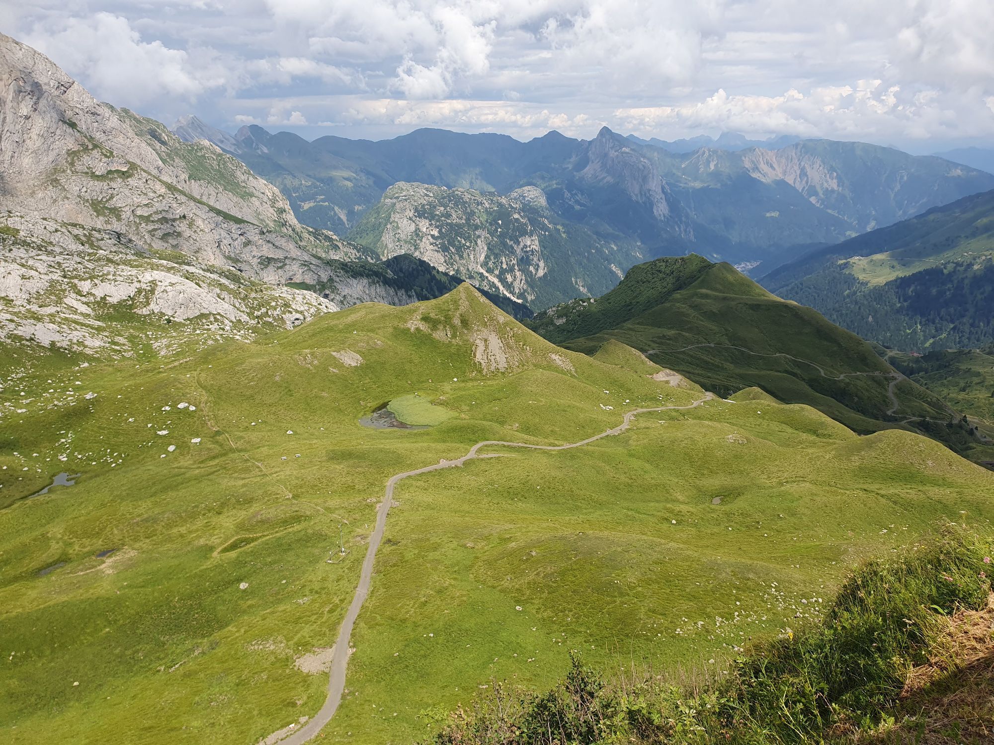
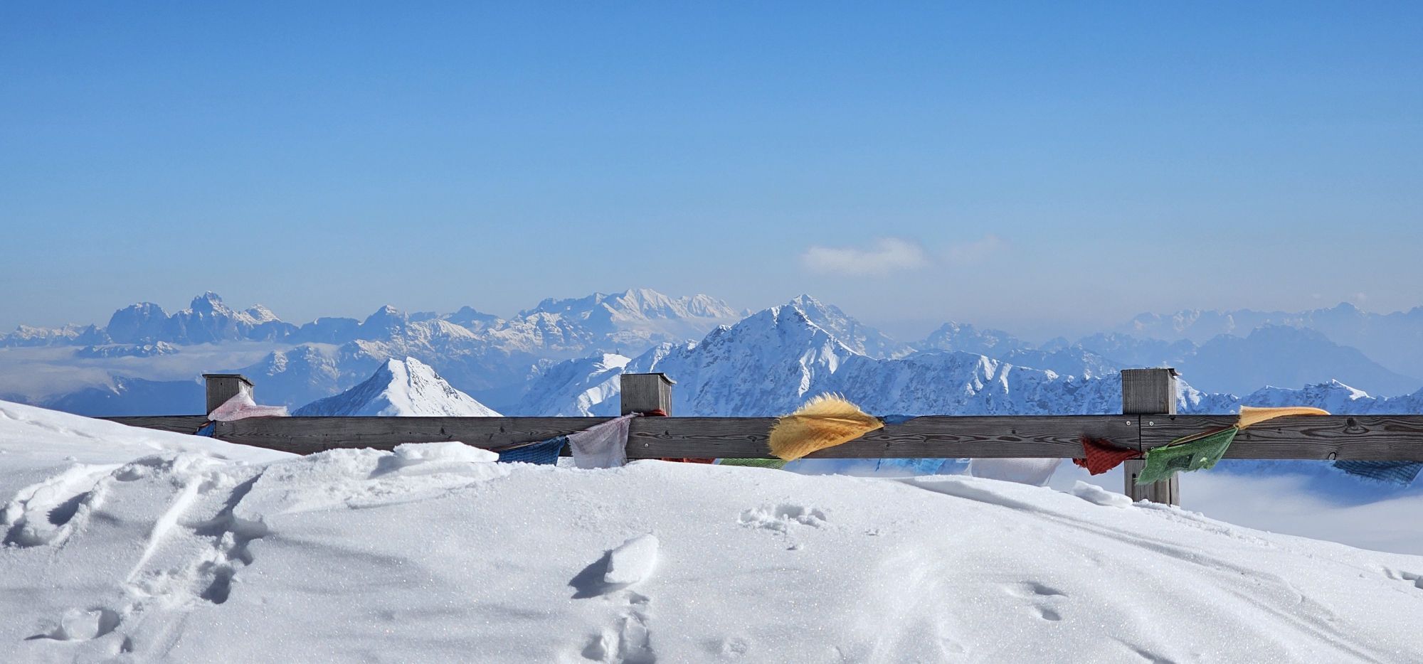
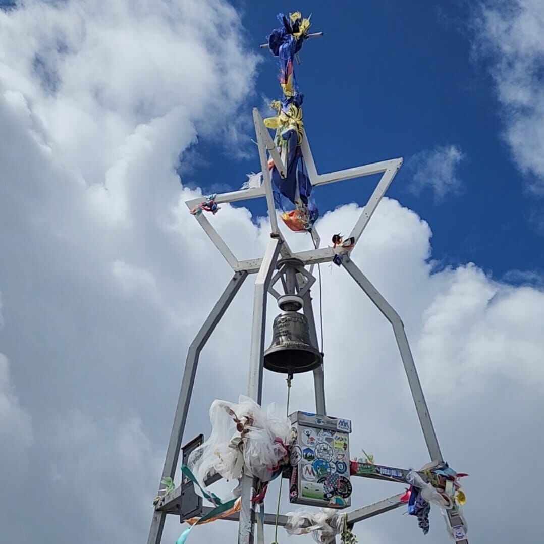
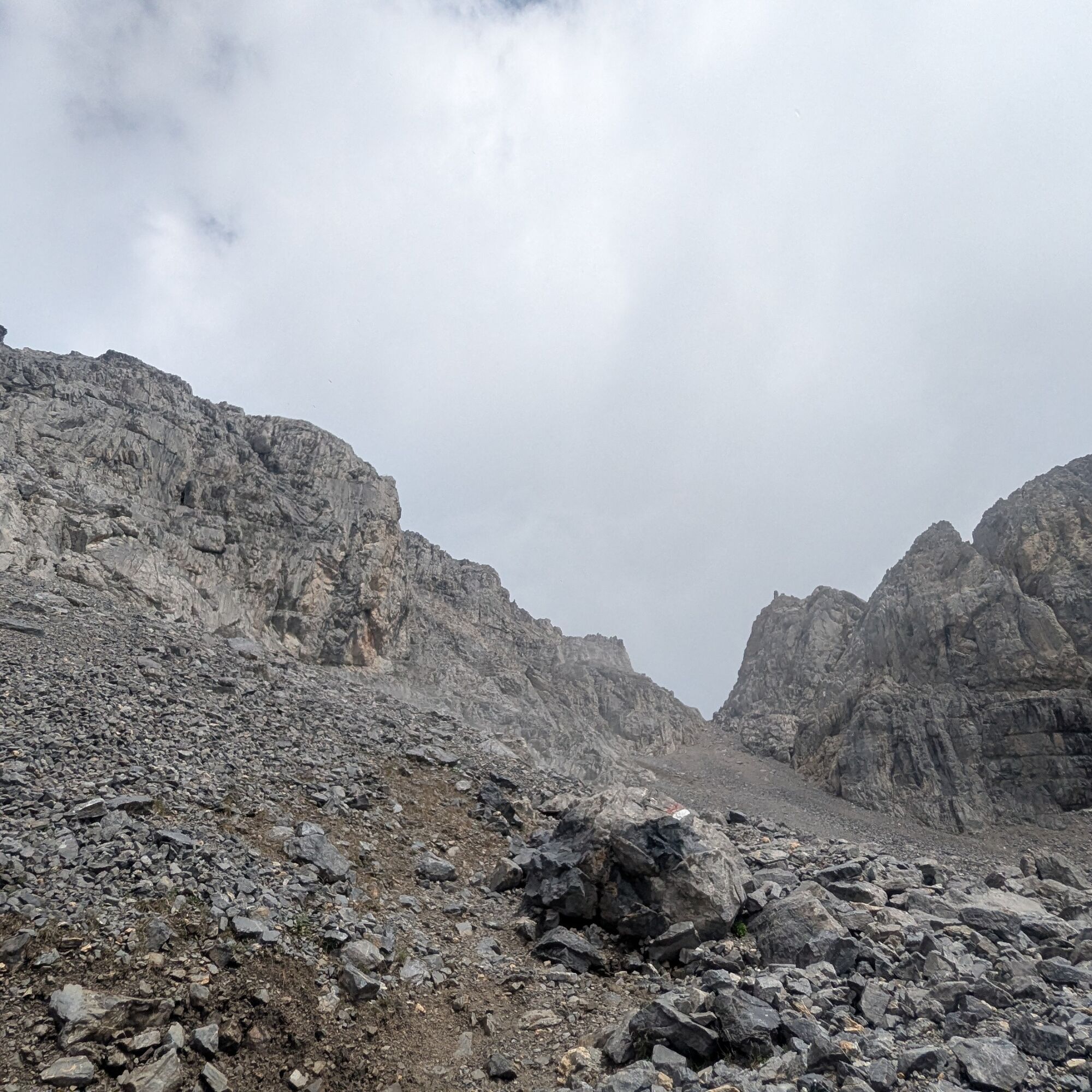
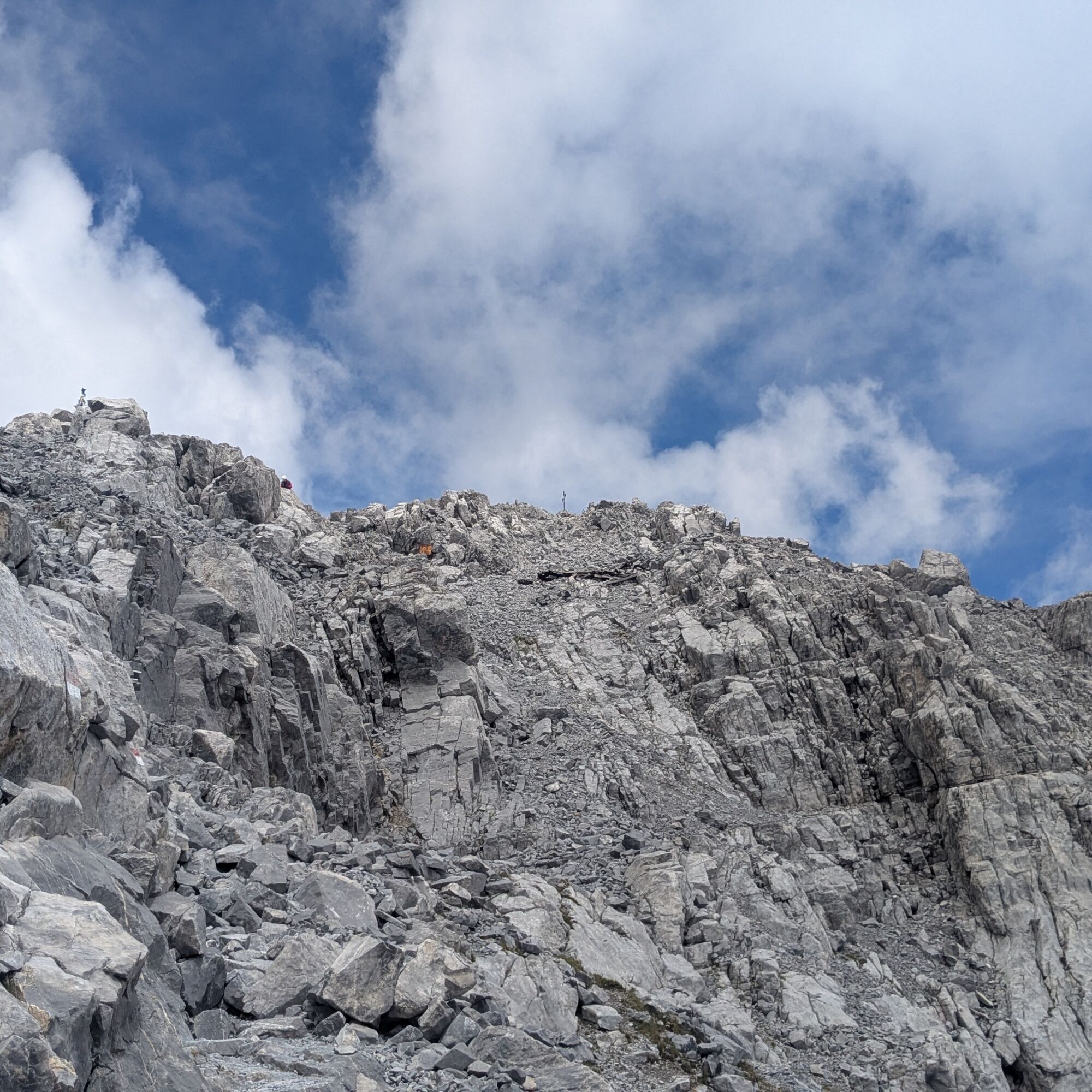
Now we face the first of the two scree fields of Coglians: the longer and more annoying one. Slippery surface, steep slope. The scree field ends at 2525 m, where the trail turns left; we have to climb a rock face with natural steps, then walk on comfortable switchbacks on the rock; around 2600 m there is the second scree field: shorter and easier than the previous one, but still demanding. Thus, we reach the point where the trail enters an uphill gully on the left (marker); from here to the summit, there are a couple of exposed passages and some moments where you need to help yourself with your hands – easy ones. From the end of the scree field, it is 15 minutes to the summit of Monte Coglians (2788 m).
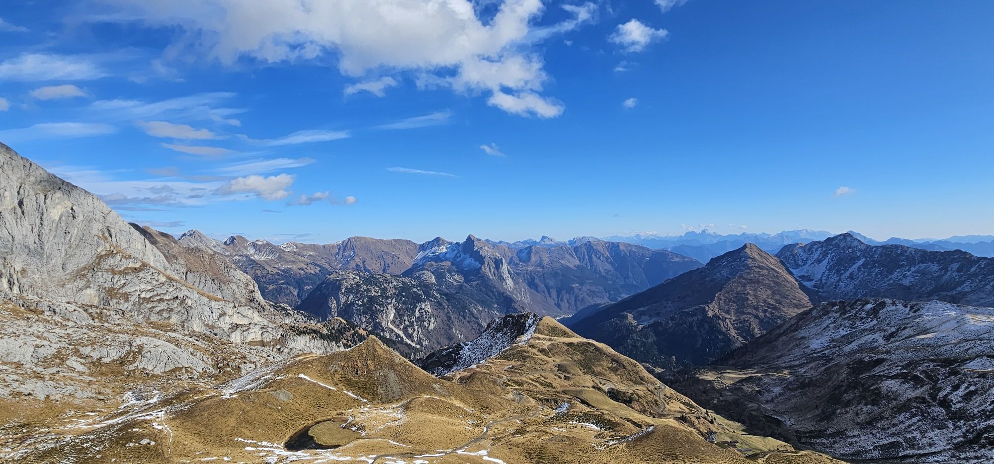
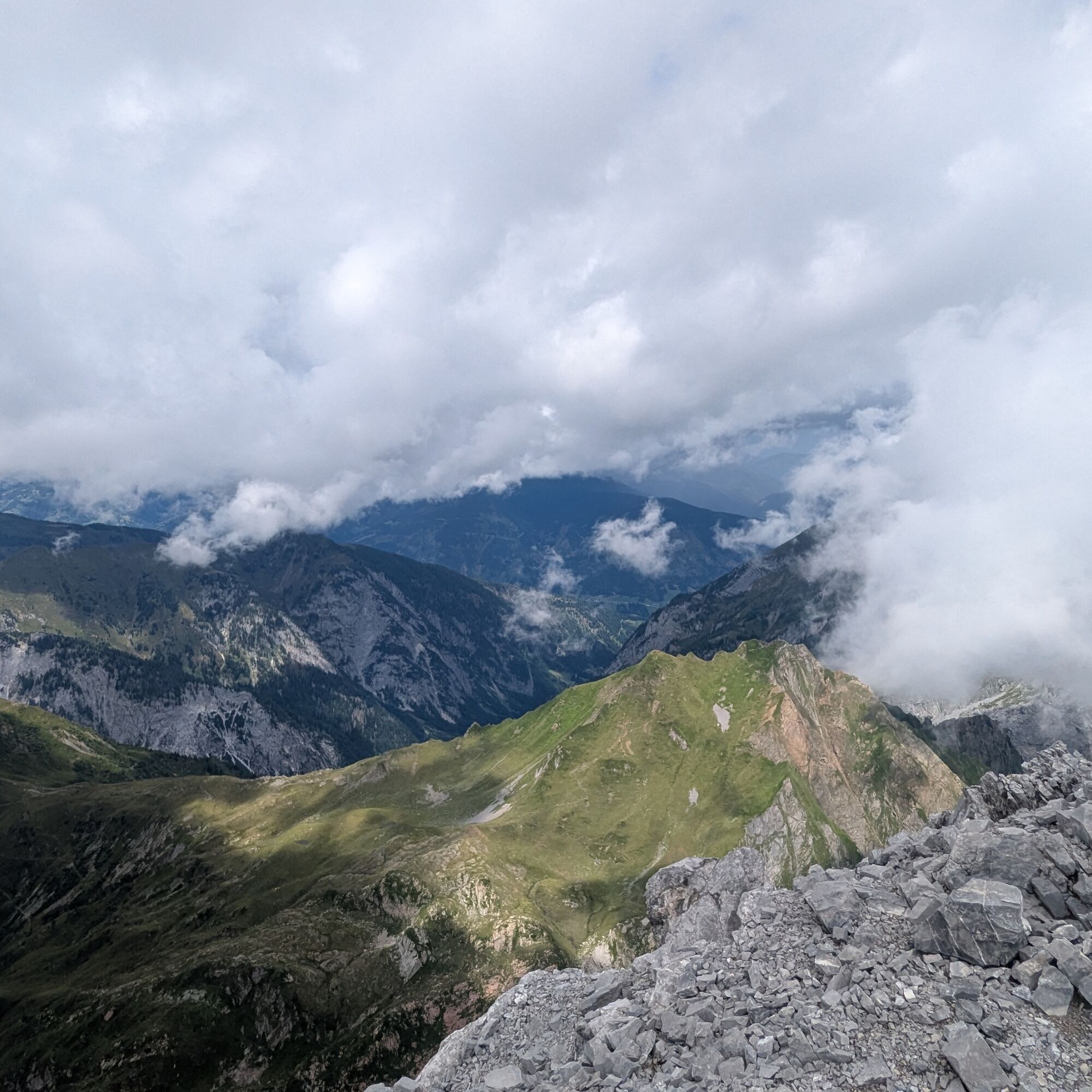
Amazing panorama, ring the bell, descend via the ascent route.

Ano
Ano
Sturdy mountain footwear is essential, trekking poles are highly recommended.
Water supply options end at Rifugio Marinelli.
T3
In the section of the hike that takes place in high altitude environment (from 2,300 m) the track may not be 100% reliable: always follow the numerous white and red markers.
If you feel you do not have the right experience, you can contact the accredited alpine guides registered with the Regional register.
Tested by Bagaglio Leggero
Oblíbené prohlídky v okolí
- 4,5
Karnischer Höhenweg – Etappe 4: Hochweißsteinhaus – Wolayersee Hütte
heavydálková pěší trasa 15,9 km - 4,7
Obergail - Obergailer Alm - Obergailer Lake - Enderberg hut - Source for Health & Peace - Madonna circular hiking route - Obergail
středníTuristika 11,4 km - 4,9
Karnischer Hauptkamm - Hohe Warte 2.780m - Hike and Bike
heavyHorská turistika 19,5 km - 4,3
Mountainbiketour von der Hubertuskapelle zum Wolayersee
heavyMountainbike 9,06 km - 3,7
Cellon-Stollen und Senza Confini auf den Cellon und Steinberger Weg zum Abstieg
středníVia ferrata 7,09 km - 3,8
Circular hike Obergail - Gamskofel - Obergail Alm - Obergail
středníTuristika 13 km - 3,6
RW_N61 Kleiner Pal (1,867 m)
heavyTuristika 6,52 km - 4,3
WW_N18 flower paradise Mussen
středníTuristika 6,52 km - 4,1
Assing - Oberraster Alm - Lumkofel (2,287 m)
středníTuristika 9,45 km - 5,0
Valentin-Wolayersee-Runde
středníTuristika 12,4 km
Pěší turistika a stopování


Nenechte si ujít nabídky a inspiraci pro vaši příští dovolenou
Vaše e-mailová adresa byl přidán do poštovního seznamu.