


Ruins of the old Olta Hörbige shelter - 3F
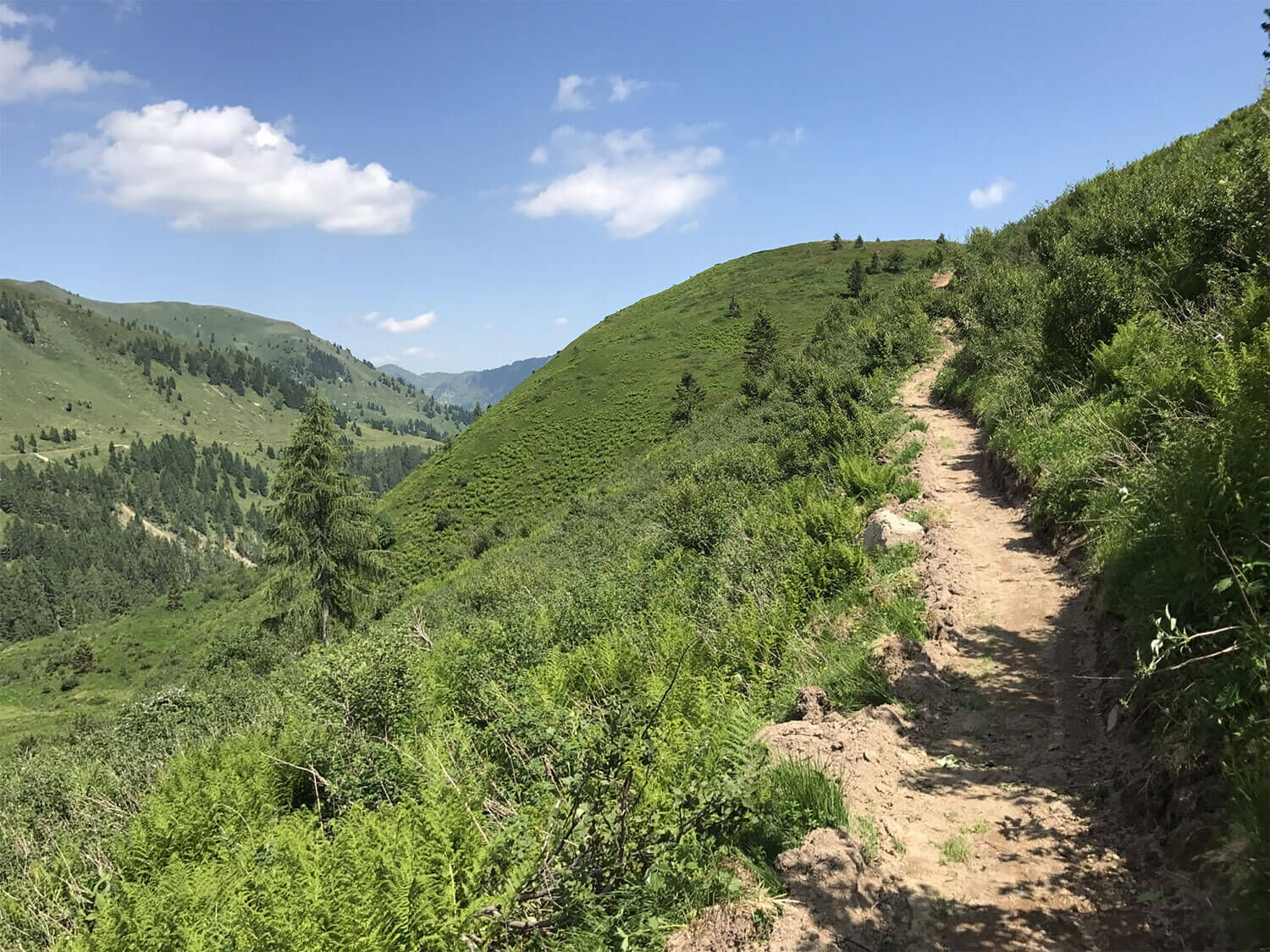
This section ascends shortly after the Eimblate Ribn fork, on the left of path 2A heading northwest towards the ridge of Monte Rinderperkh. After a steep initial stretch, it opens into a small clearing...
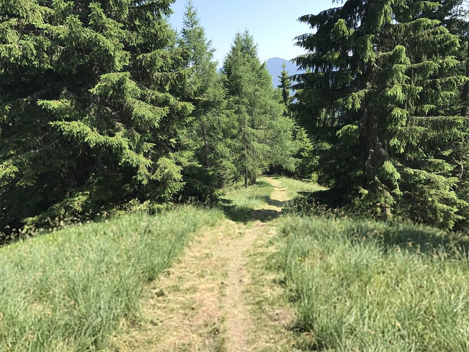
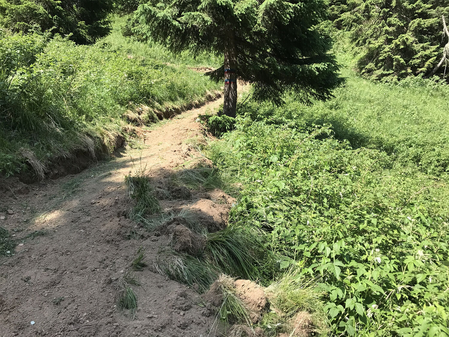
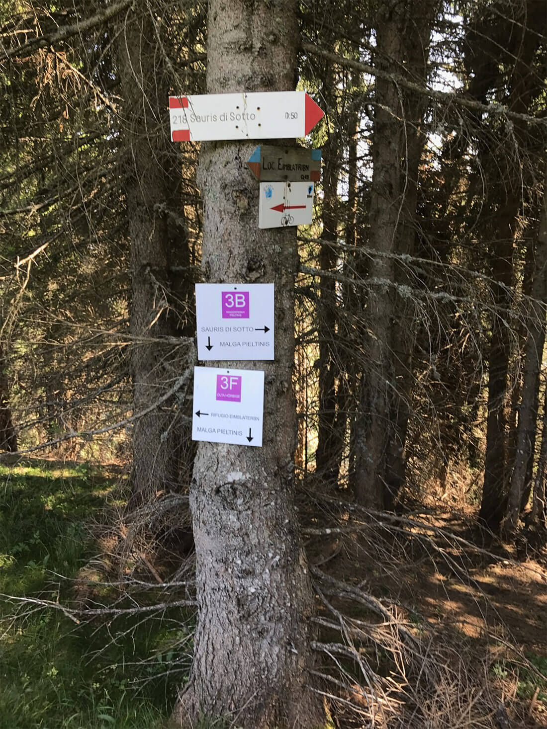
This section ascends shortly after the Eimblate Ribn fork, on the left of path 2A heading northwest towards the ridge of Monte Rinderperkh. After a steep initial stretch, it opens into a small clearing where the ruins of an old shelter (Hörbige) can be found. It turns left and the slopes ease as it goes into a dense spruce forest. Finally, it emerges below a steep grassy ridge and heading east quickly reaches the last section of path 3B which leads towards Monte Rinderperkh and Malga Pieltinis.

Ano
Season-appropriate clothing and hiking shoes are recommended. Snow may be present in winter, so equip suitable gear.
It is recommended to carry a water bottle and possibly a snack.
Follow route 2A from Sauris di Sotto, 2F from La Maina or 2C from Lateis until you reach the Eimblat de Ribn hut.
It is advised to reach Sauris by your own means.
Free parking available
Oblíbené prohlídky v okolí
-
4.5
Tiziana Weiss nature trail
středníTuristika 9.23 km -
30 MONTE CHIADIN - Sappada
střednídálková pěší trasa 4.22 km -
5.0
Pani loop
světloTuristika 6.26 km -
Mounts Bivera and Clap Savon from Casera Razzo, alpine ride
heavyTuristika 20.5 km -
5.0
Mezi venkovskými vesnicemi v karnických kopcích
světloTuristika 9.23 km -
The multicolored campanili of Mount Zauf
středníTuristika 14.2 km -
5.0
16 MONTE FERRO REFUGE from Borgata Bach - Sappada
světloTuristika 1.47 km -
Colmajer ridge loop
středníTuristika 7.51 km -
5.0
FVG 8/a - varianta cyklotrasy Carnia (C8VA)
středníCyklistika na velkou vzdálenost 24.8 km -
25 OLBE LAKES via the ski slope and path 135 - Sappada
střednídálková pěší trasa 4.70 km

Pěší turistika a stopování


Nenechte si ujít nabídky a inspiraci pro vaši příští dovolenou
Vaše e-mailová adresa byl přidán do poštovního seznamu.