


Colmajer ridge loop
The "Ridge Path" is a fascinating hike connecting the summits of Monte Colmajer and Monte Sesilis, offering a unique experience in the heart of the Western Tolmezzo Alps. Starting from the Tita Piaz refuge,...
The "Ridge Path" is a fascinating hike connecting the summits of Monte Colmajer and Monte Sesilis, offering a unique experience in the heart of the Western Tolmezzo Alps. Starting from the Tita Piaz refuge, located near Passo Pura, the route winds through enchanting landscapes and pristine nature.
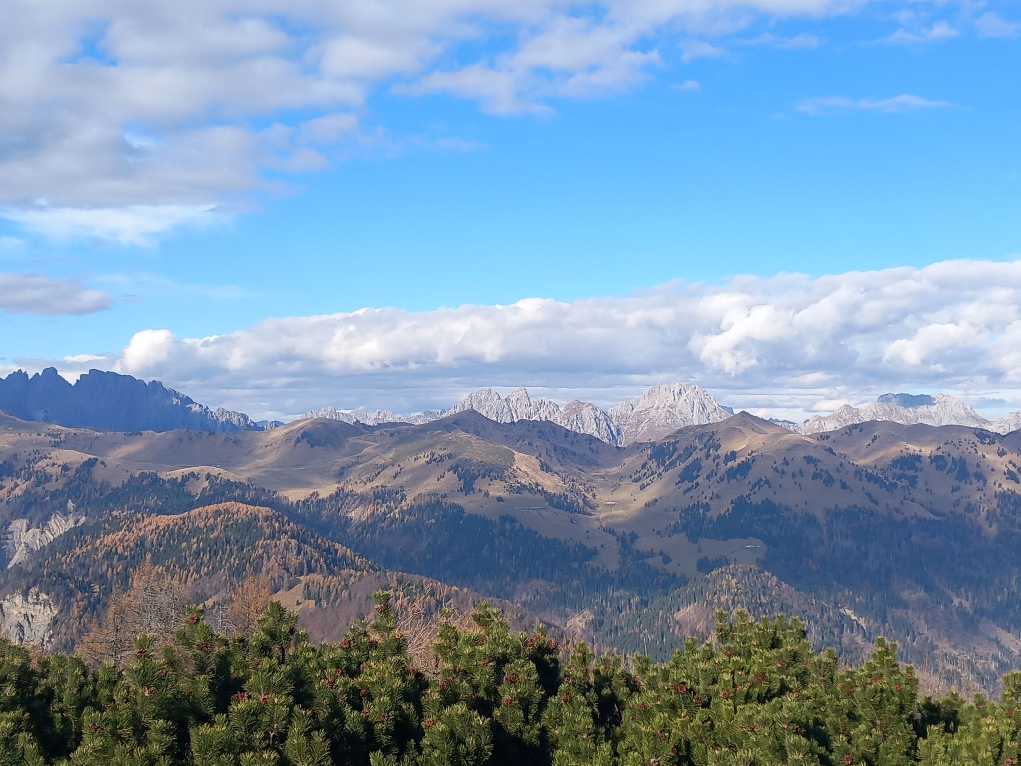
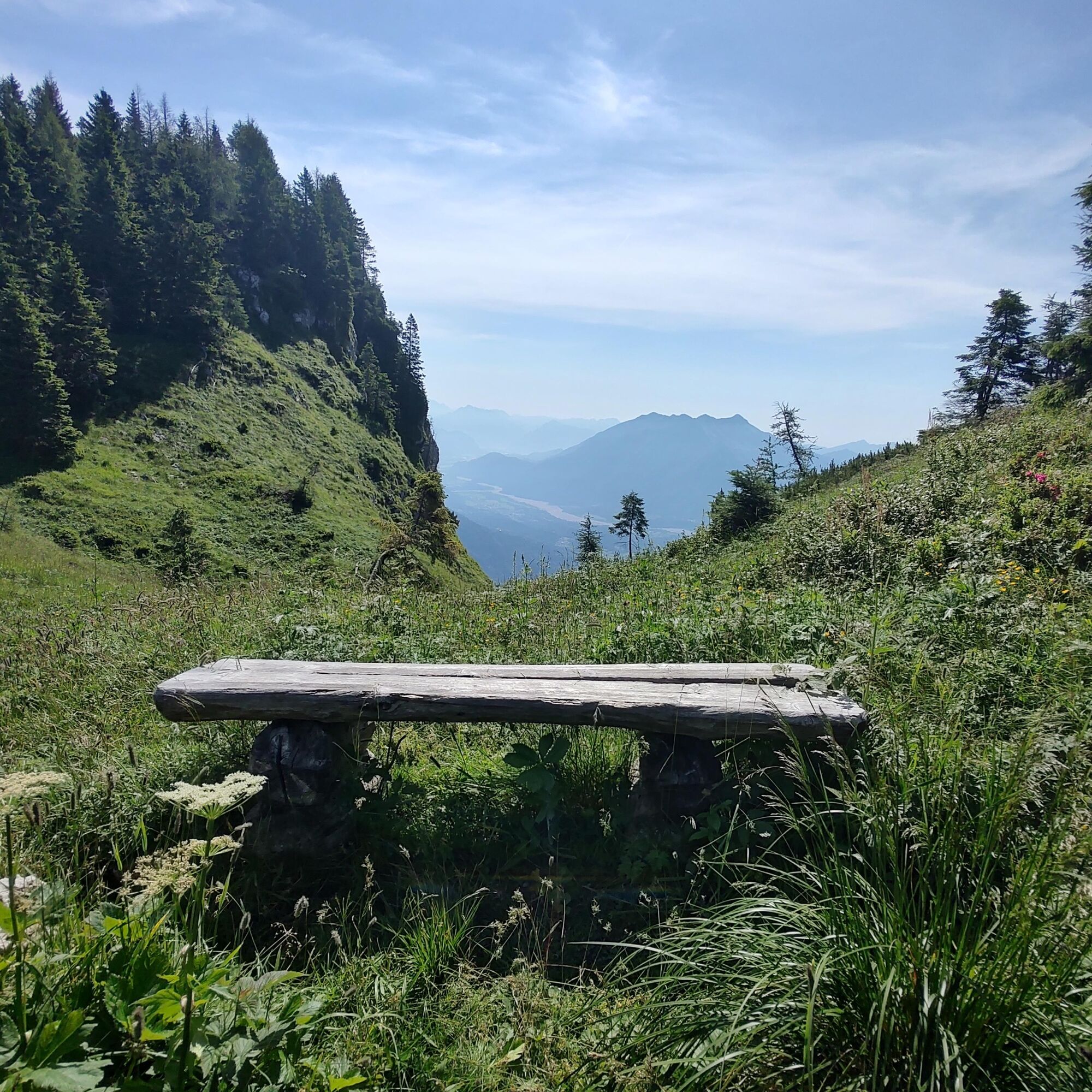
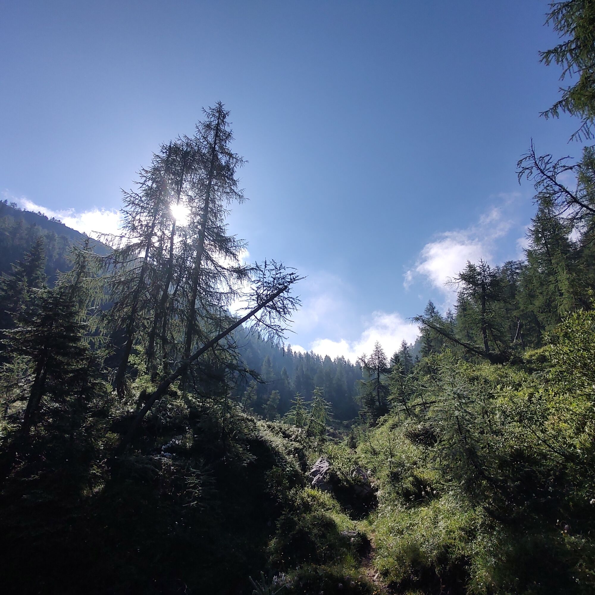
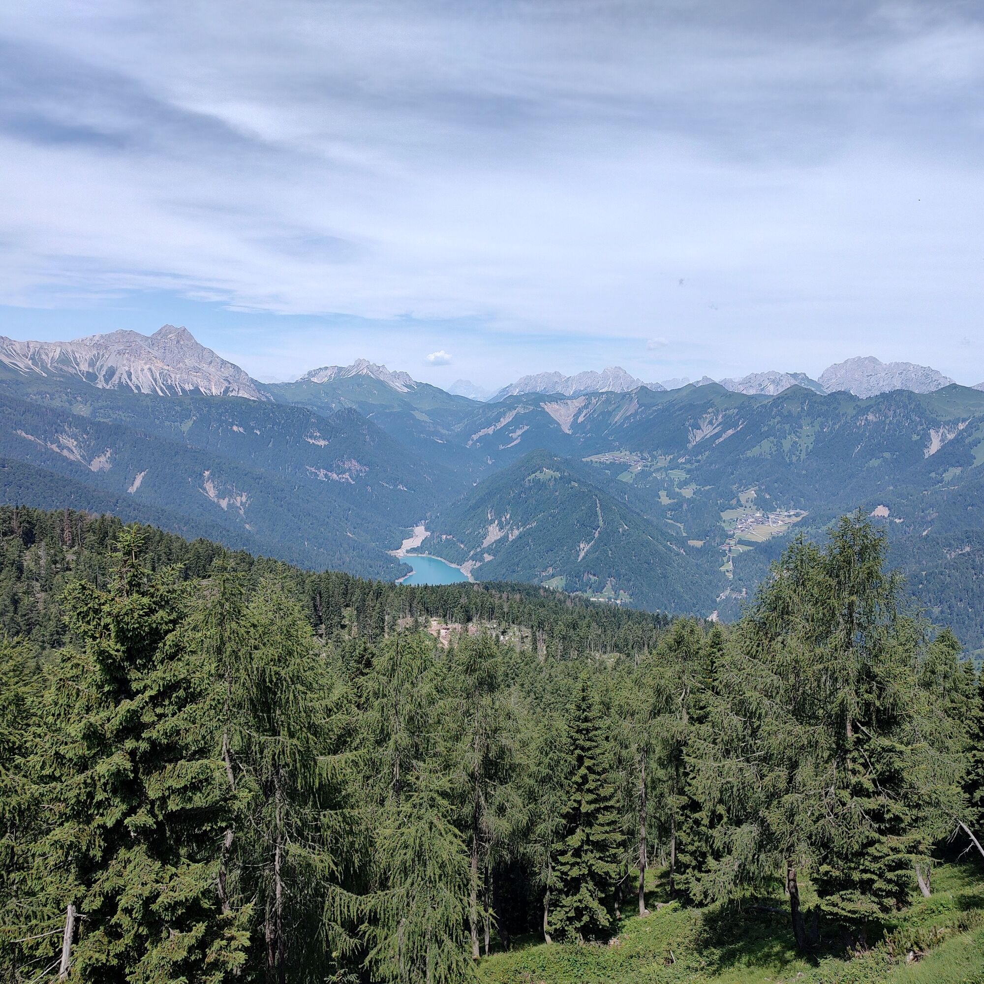
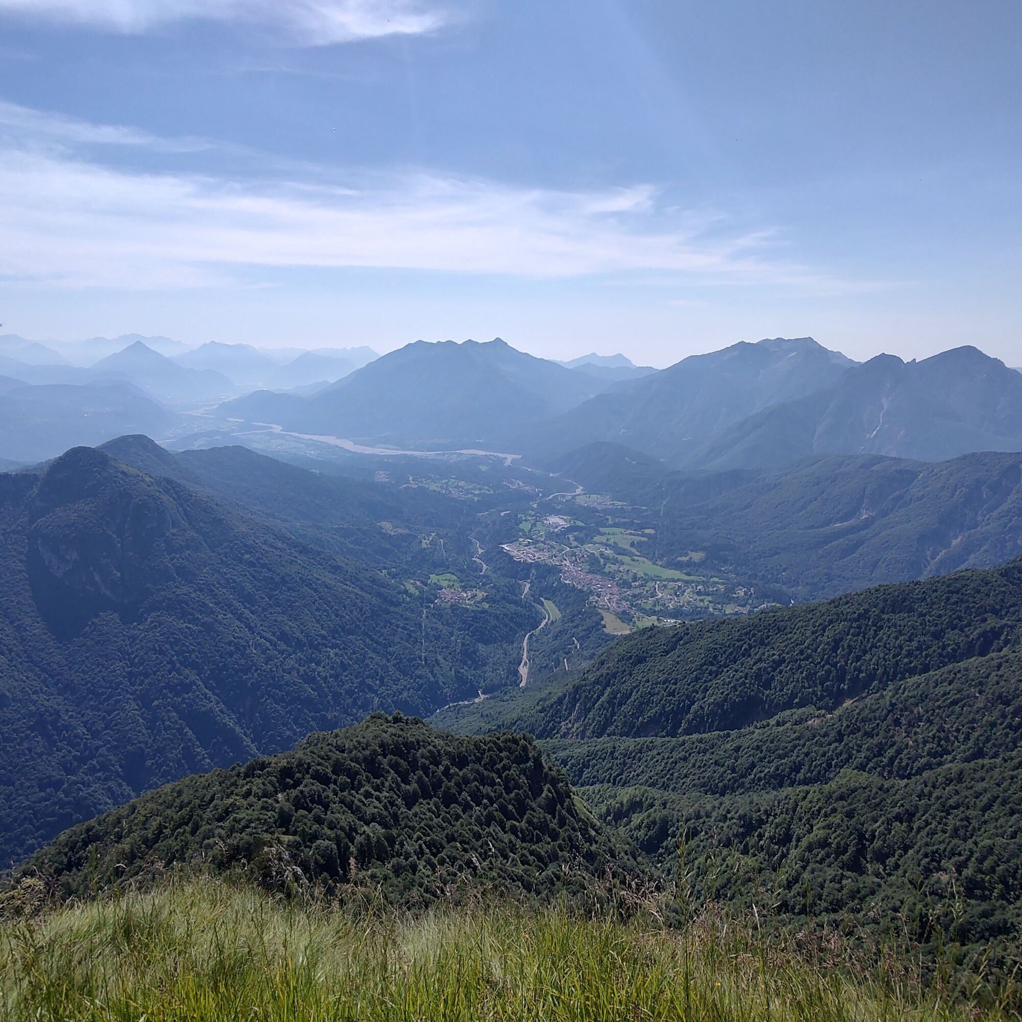
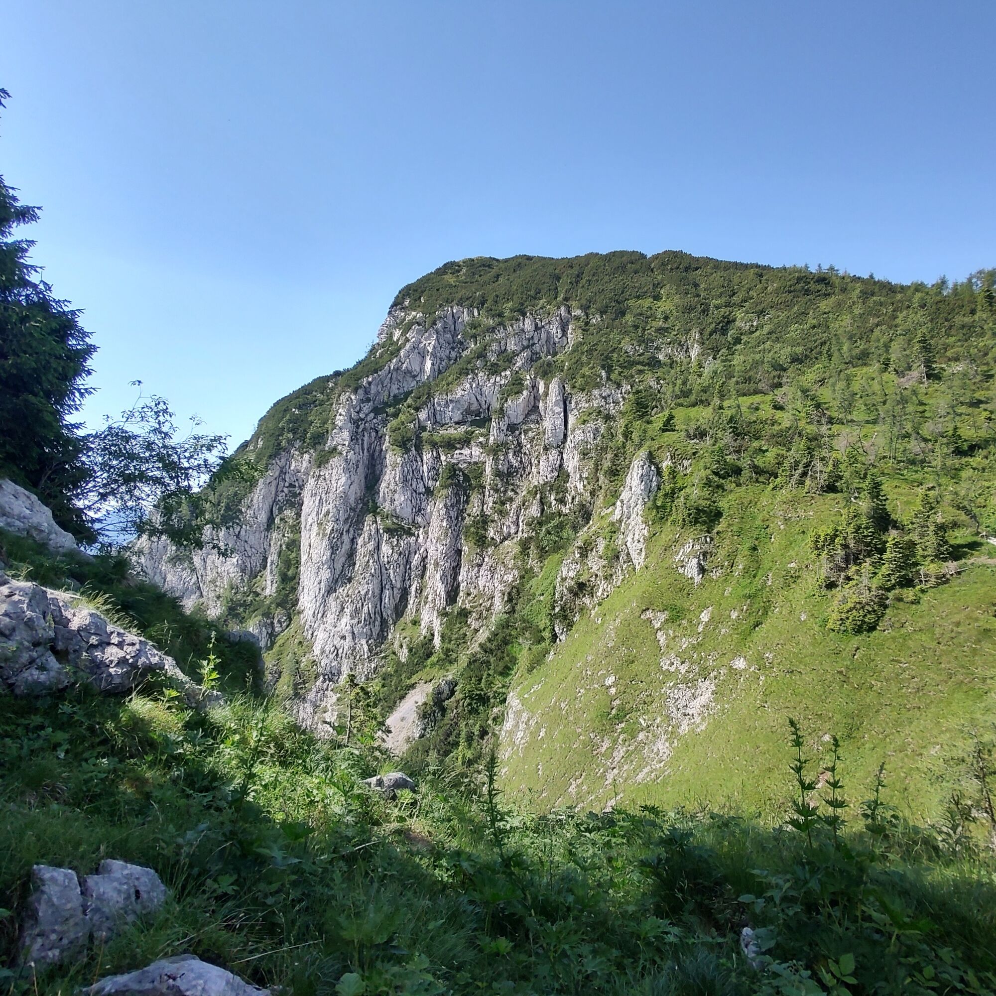
Although it does not present particular difficulties, the hike requires caution in some sections, especially during the ascent to the ridge of Monte Colmajer. However, the effort is well rewarded by the breathtaking views along the route. The summit, adorned with a small wooden cross, offers an extraordinary panorama: to the east you can admire the Amariana and the mountains of Tarvisio, while to the north stand the magnificent Dolomite massifs of Cadore and the brightly colored Lake Sauris.
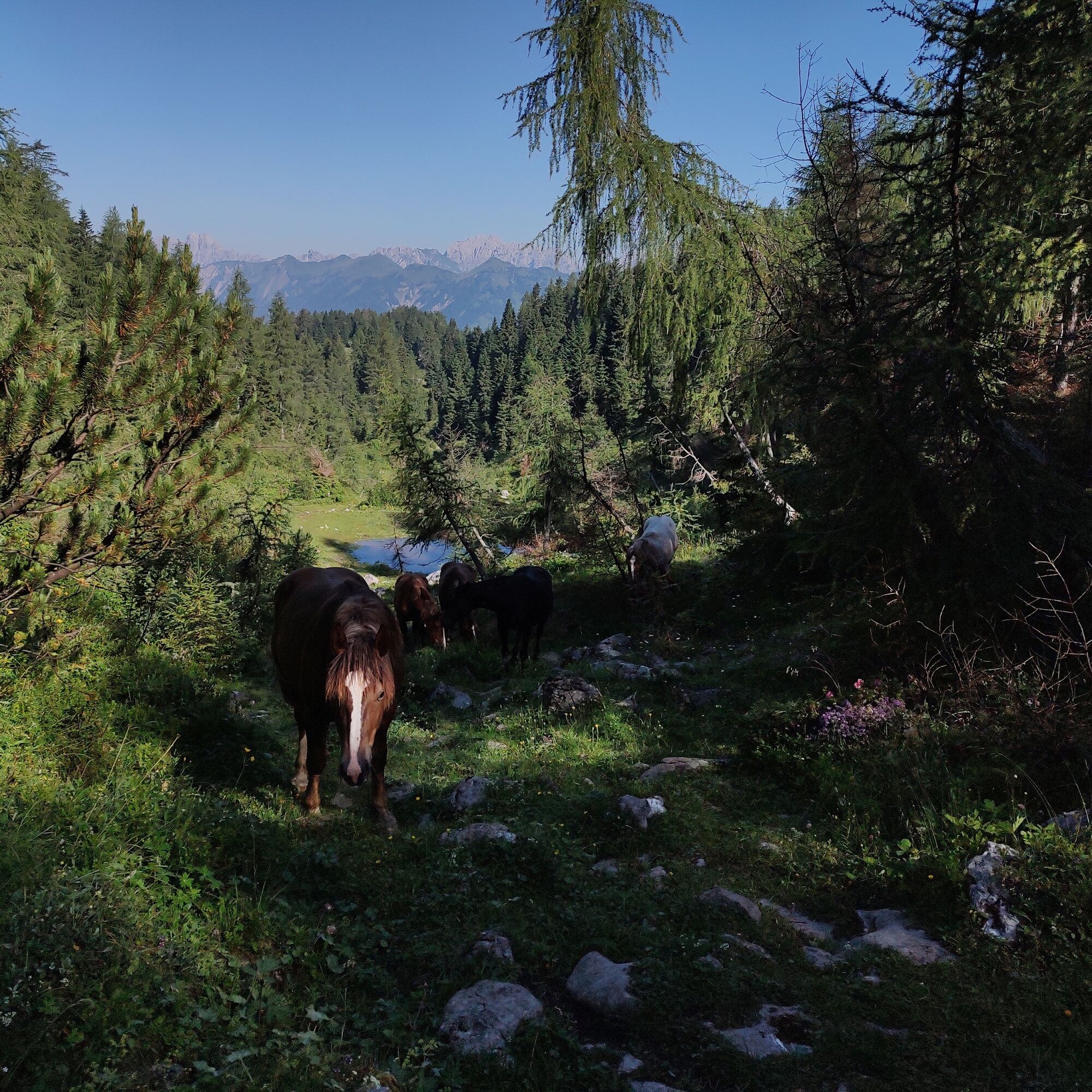
The richness of the local ecosystem enriches the hiking experience, allowing you to observe a variety of wildlife, including birds of prey and galliforms, as well as numerous flower species such as lilies and gentians. Every step along the path is an opportunity to immerse yourself in the beauty of nature, making the "Ridge Path" an unforgettable experience for outdoor and mountain lovers.

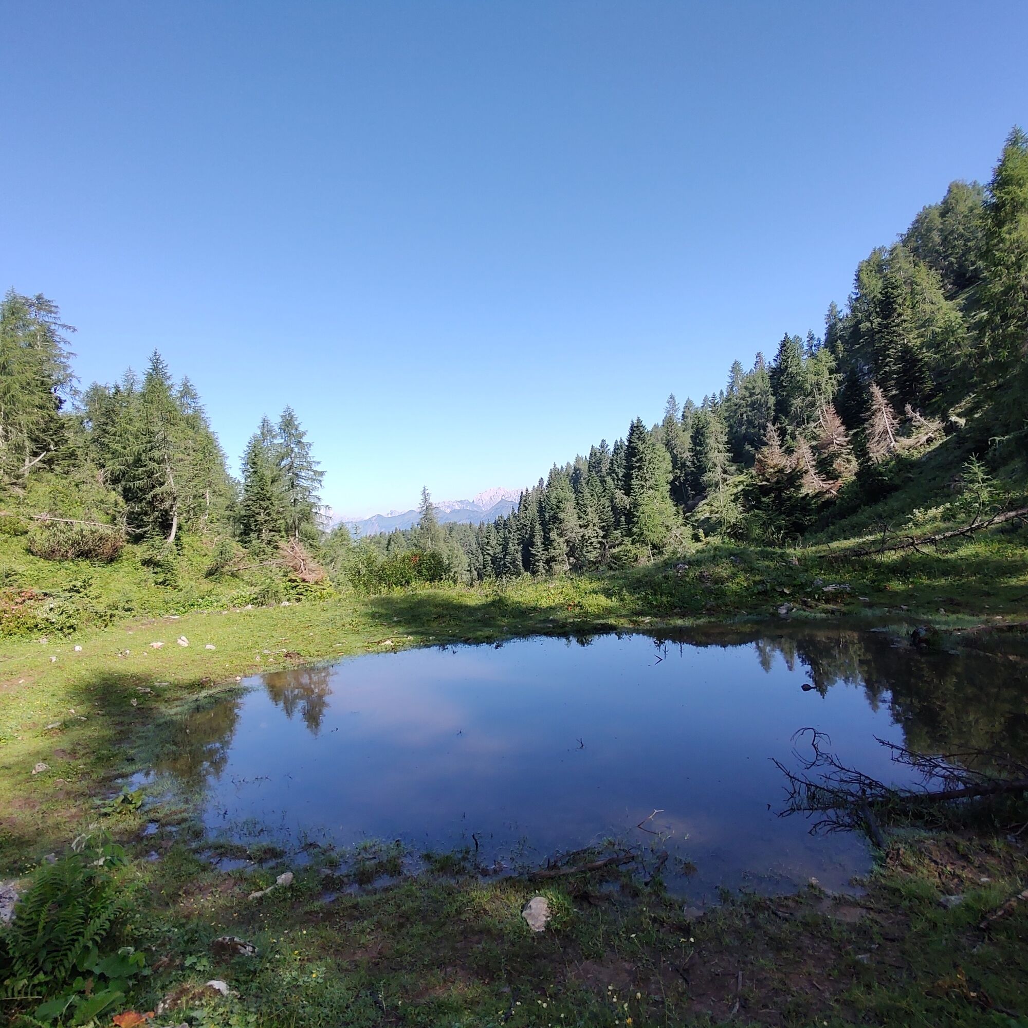
Behind the refuge starts a forestry road (no access allowed) which we leave after a few meters at the sign describing the route to follow. Take the CAI 238 trail on the right, which continues along a narrow but defined trail in a beech forest ending near Casera Nauleni (1637 m) climbing the Colmajer forest, leading directly to the clearing of Casera Nauleni.
Here the loop begins: we climb to the right to reach Forca Nauleni; from the saddle, we continue along the trail that climbs steeply to the ridge of Monte Colmajer and then to the summit at 1858 m. The hike then continues descending the northern side of Colmajer to Forca Grande; from the saddle, still on CAI 238, we reach Forca Piccola (1752 m).
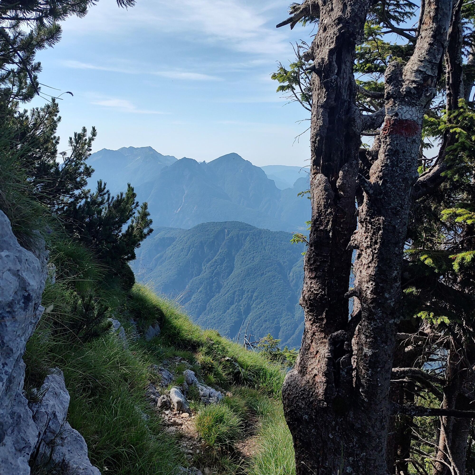
If you want to add some elevation gain, at Forca Piccola (1752 m) you can continue north to reach the summit of Monte Sesilis (1852 m) via a more demanding and exposed trail. The return is by the way of ascent.
At Forca Piccola, therefore, turn right and descend to Casera Colmajer; from here we close the loop along the comfortable forestry road that takes us back to the Casera Nauleni clearing and finally to the Tita Piaz refuge following the same path as the ascent.
Ano
Ano
Ano
Ano
Standard hiking equipment, depending on the season.
Do not attempt this hike in uncertain weather (the upper part is exposed to lightning and the steep terrain can become very slippery when wet) or with snow cover.
For the ascent to Monte Colmajer, sure-footedness, absence of vertigo, and the ability to move on terrain for experienced hikers are necessary.
Coming from Tolmezzo, along SS52 once you have passed the center of Ampezzo, turn right and follow the road that climbs to Passo del Pura until the Tita Piaz refuge and park there.
It is not possible to reach the excursion starting point by public transport.
Parking near the Tita Piaz refuge, Passo Pura (UD).
The Tita Piaz refuge offers food and lodging services during open periods. The Colmajer and Nauleni huts are well maintained by the locals and provide excellent shelter in case of sudden bad weather.

Oblíbené prohlídky v okolí
-
5.0
Villa Santina: La Farina del Diavolo (C)
středníVia ferrata 6.10 km -
4.5
Tiziana Weiss nature trail
středníTuristika 9.23 km -
PATH OF THE POZZE SMERALDINE
světloTuristika 6.77 km -
5.0
Pani loop
světloTuristika 6.26 km -
Mounts Bivera and Clap Savon from Casera Razzo, alpine ride
heavyTuristika 20.5 km -
5.0
Mezi venkovskými vesnicemi v karnických kopcích
světloTuristika 9.23 km -
The multicolored campanili of Mount Zauf
středníTuristika 14.2 km -
Panoramatická trasa z Rest Pass na Rest Mountain
středníTuristika 7.72 km -
5.0
STRADA DA LIS FORNAS TRAIL
světloTuristika 5.77 km -
5.0
FVG 8/a - varianta cyklotrasy Carnia (C8VA)
středníCyklistika na velkou vzdálenost 24.8 km

Pěší turistika a stopování


Nenechte si ujít nabídky a inspiraci pro vaši příští dovolenou
Vaše e-mailová adresa byl přidán do poštovního seznamu.