






K-C3 Tribil Superiore/Gorenji Tarbij - Castelmonte/Stara gora
Úroveň obtížnosti: T1
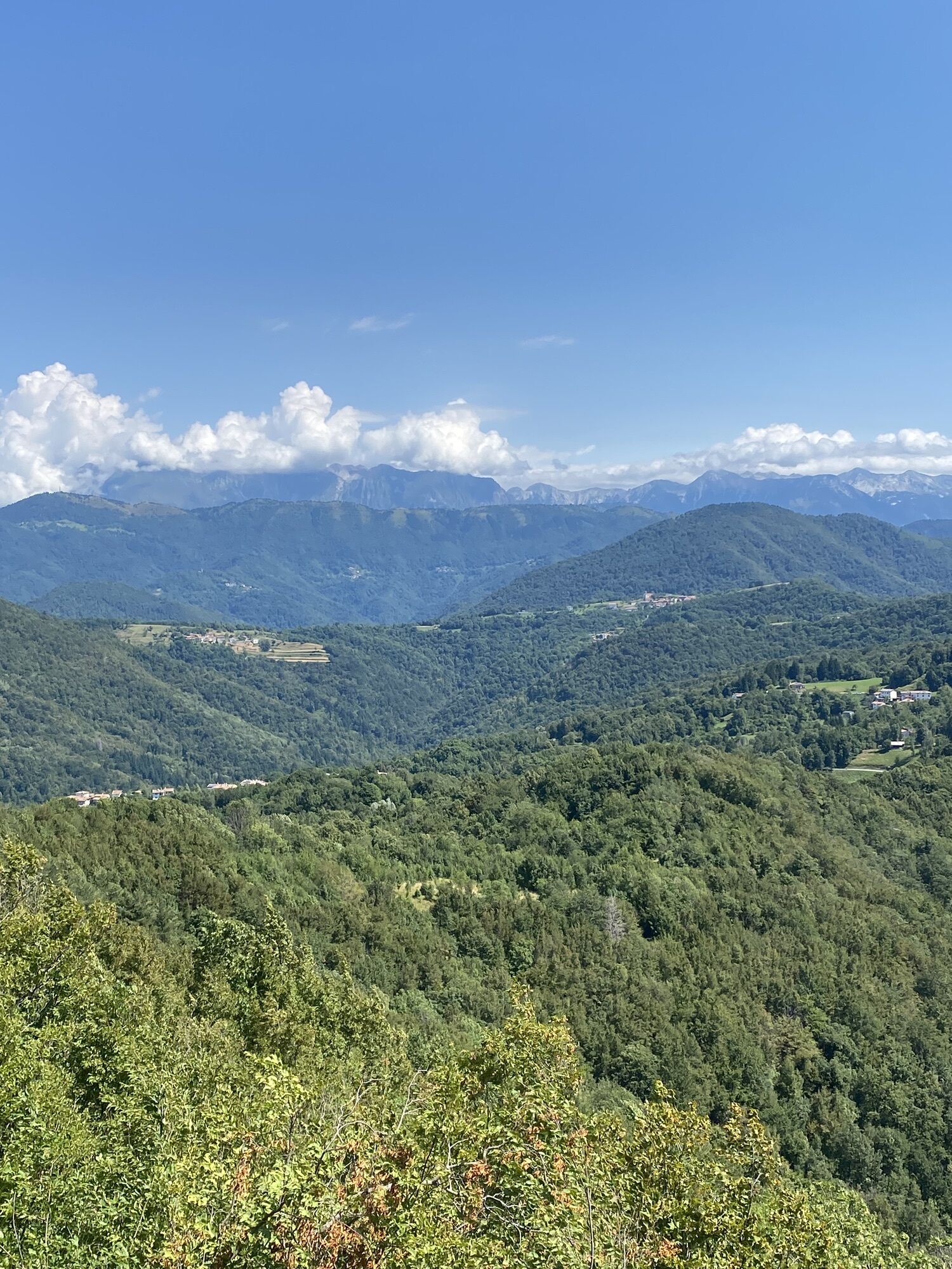
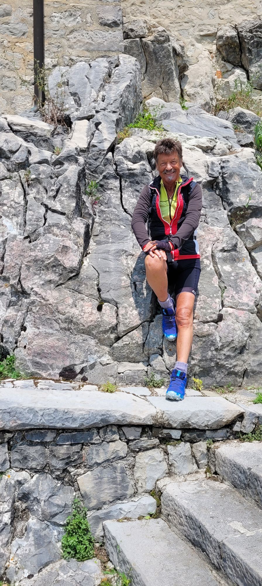
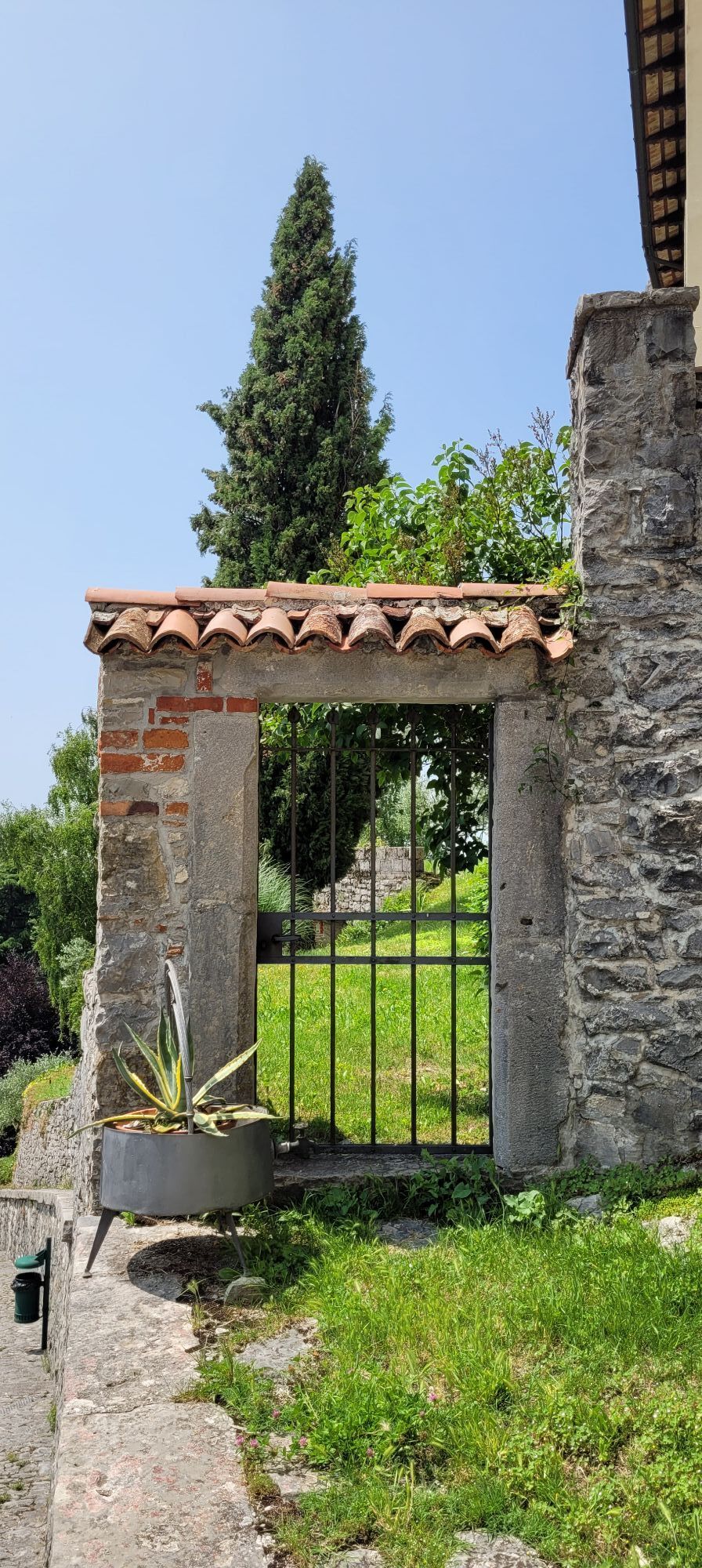
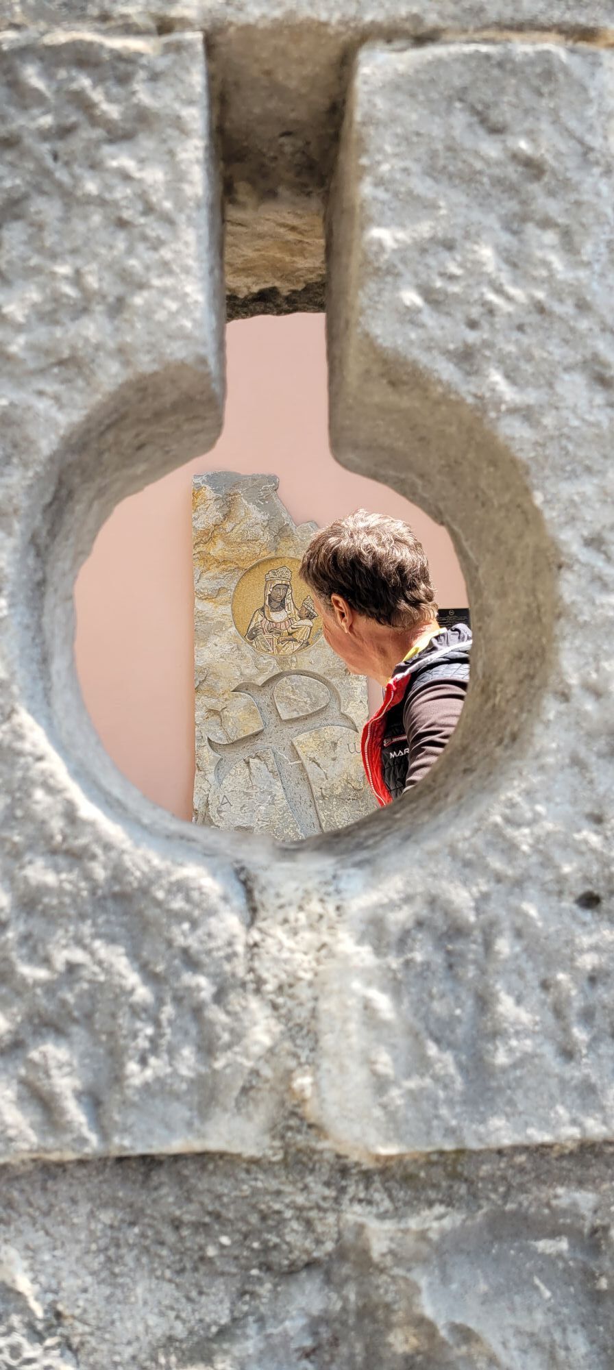
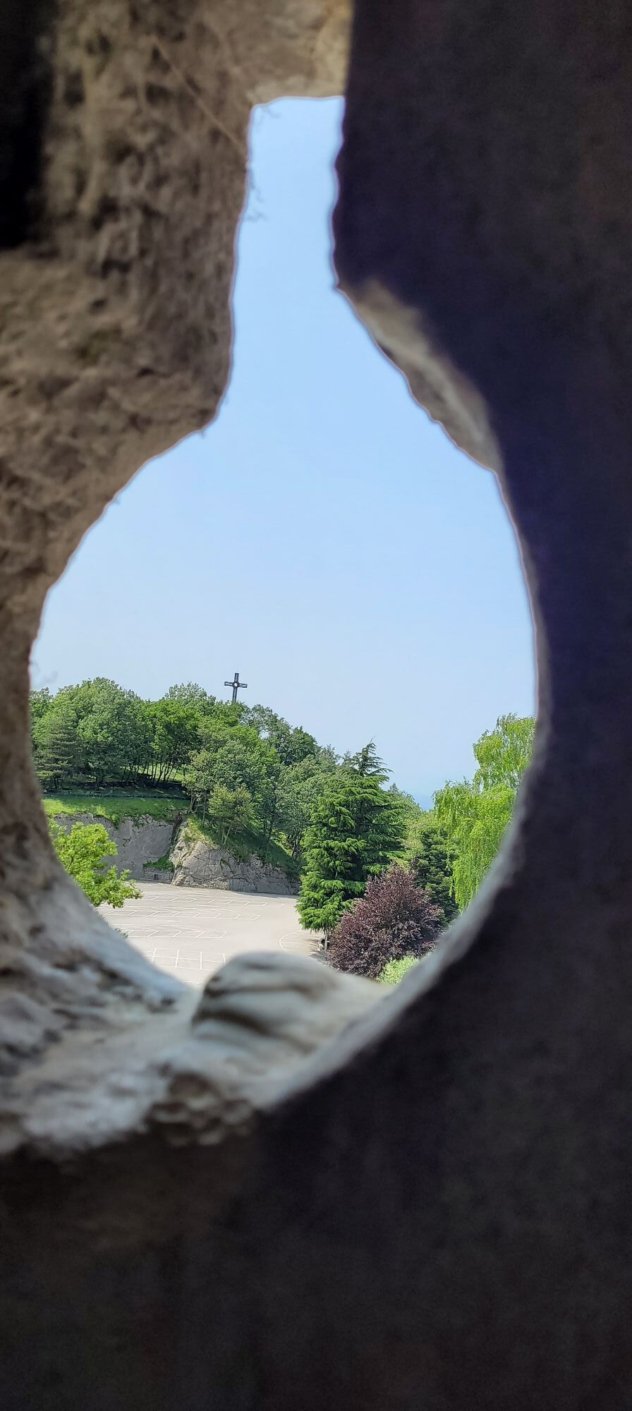
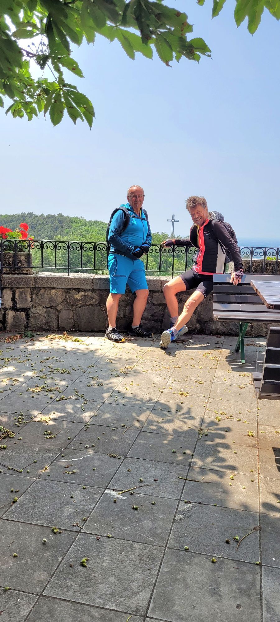
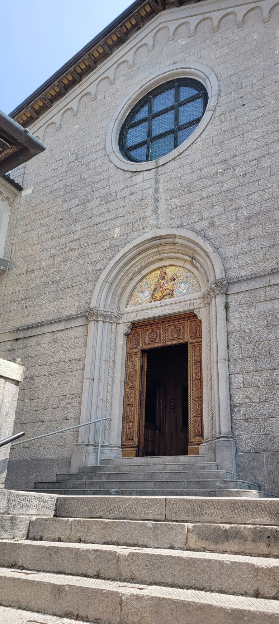
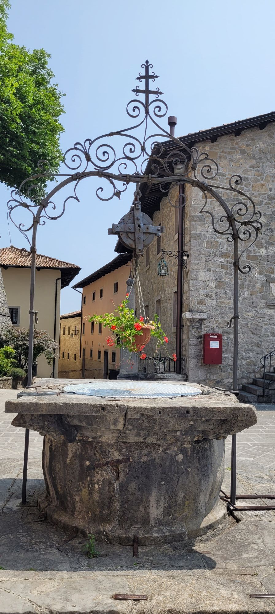
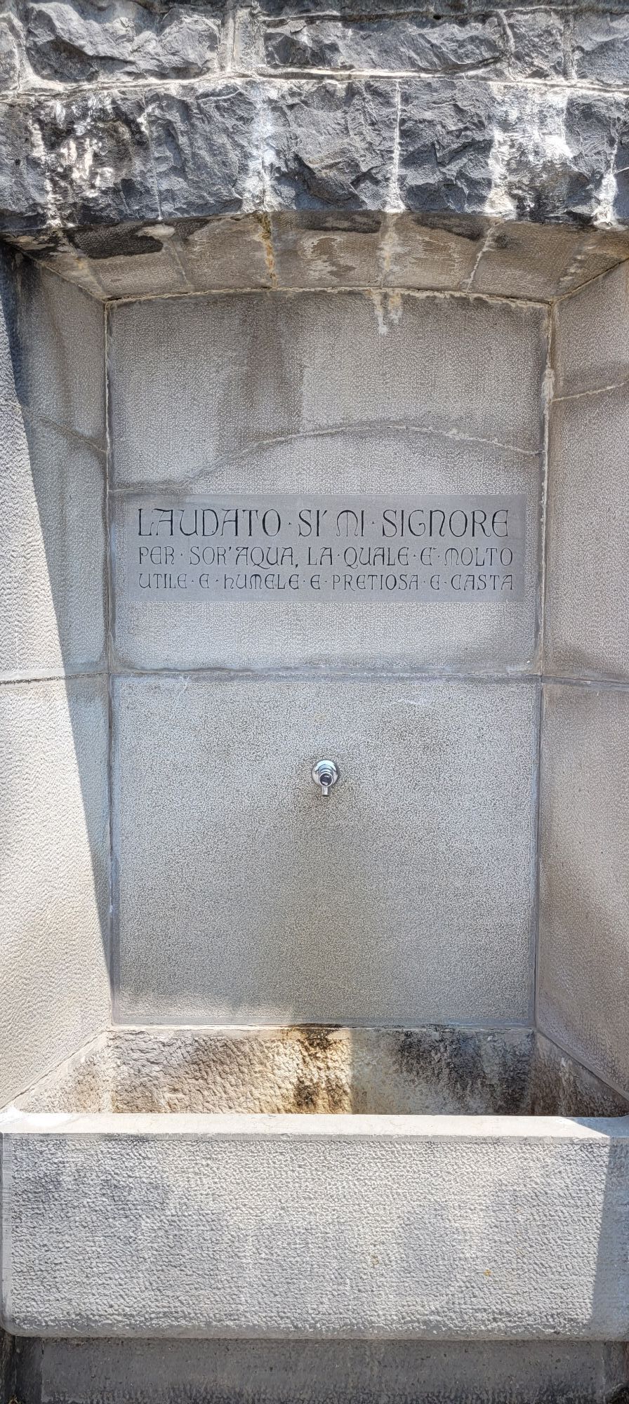
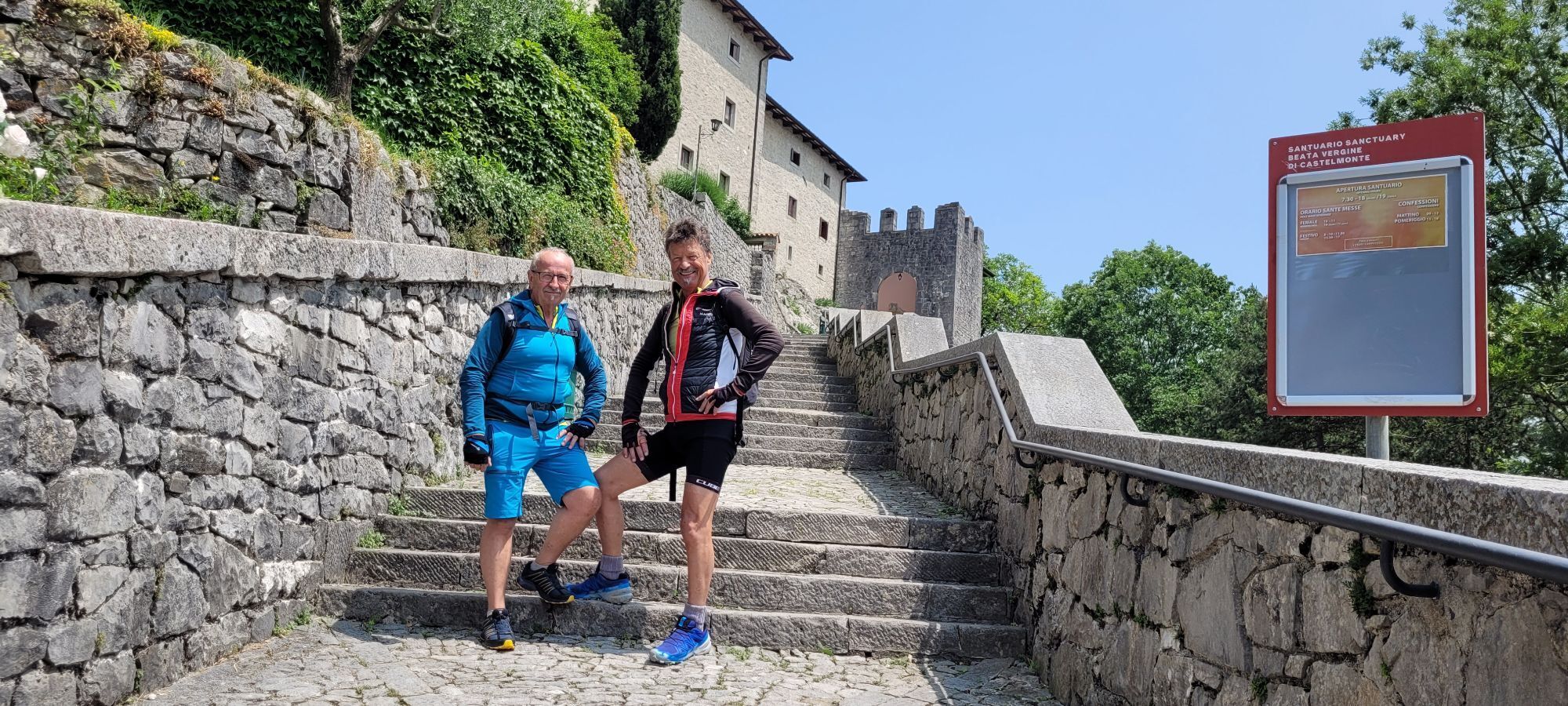
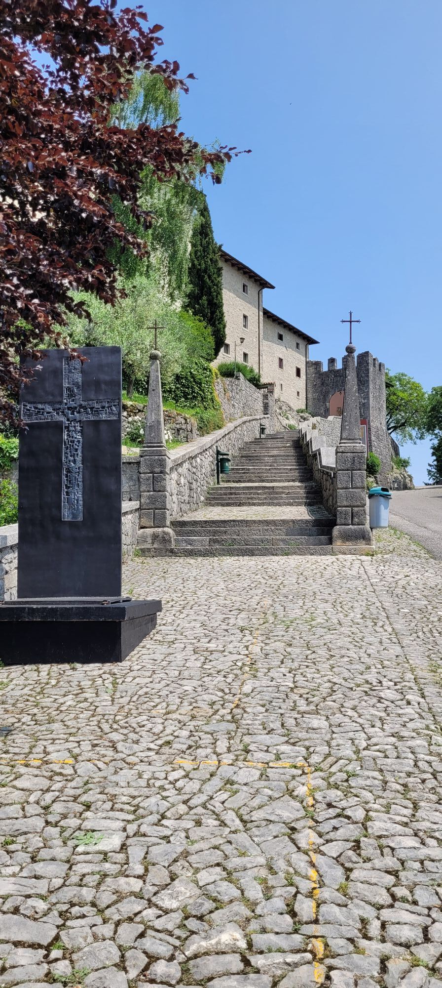
Still immersed in a green and hilly countryside, this not particularly demanding stretch unfolds in the heart of eastern Friuli, mostly following the same path as the Alpe Adria Trail, which is easily...
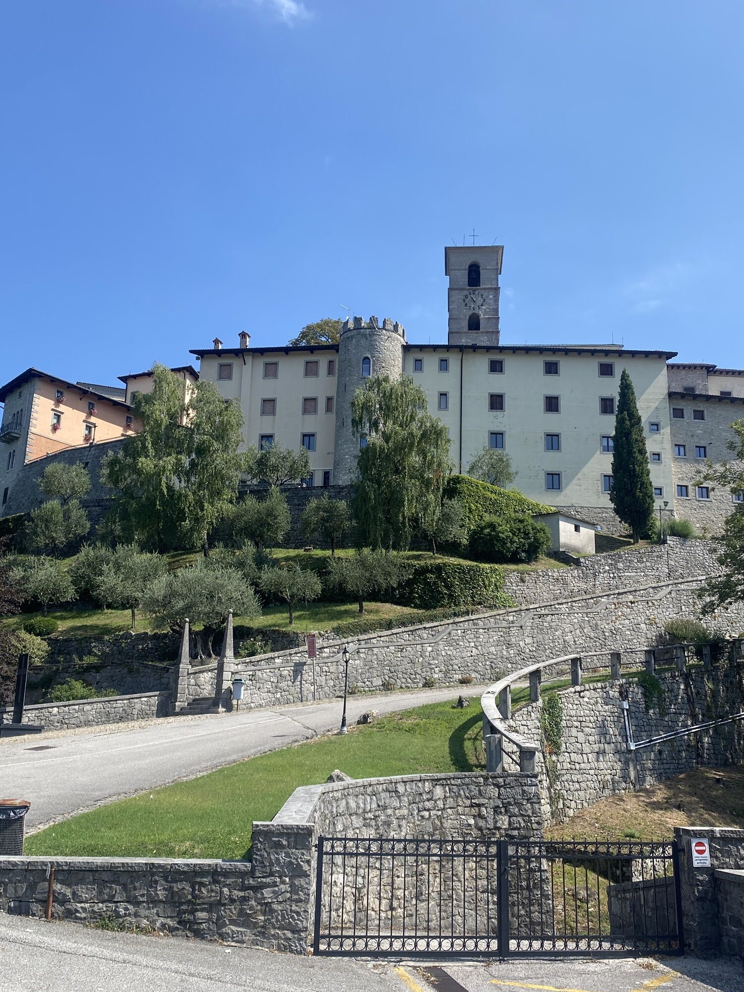
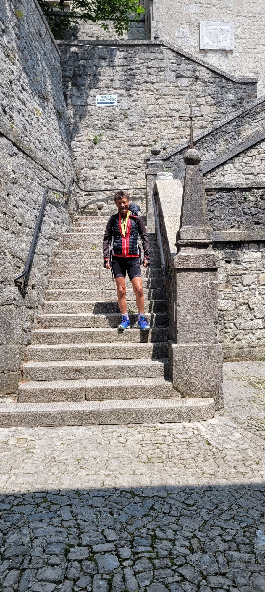
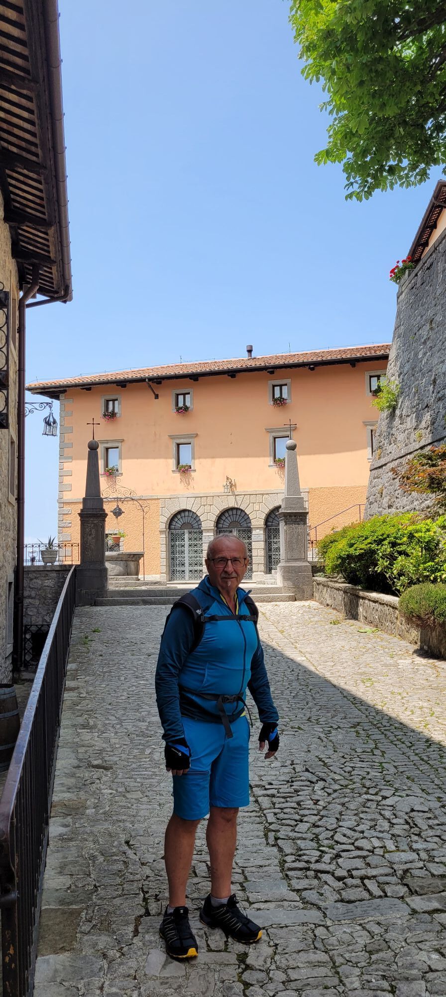
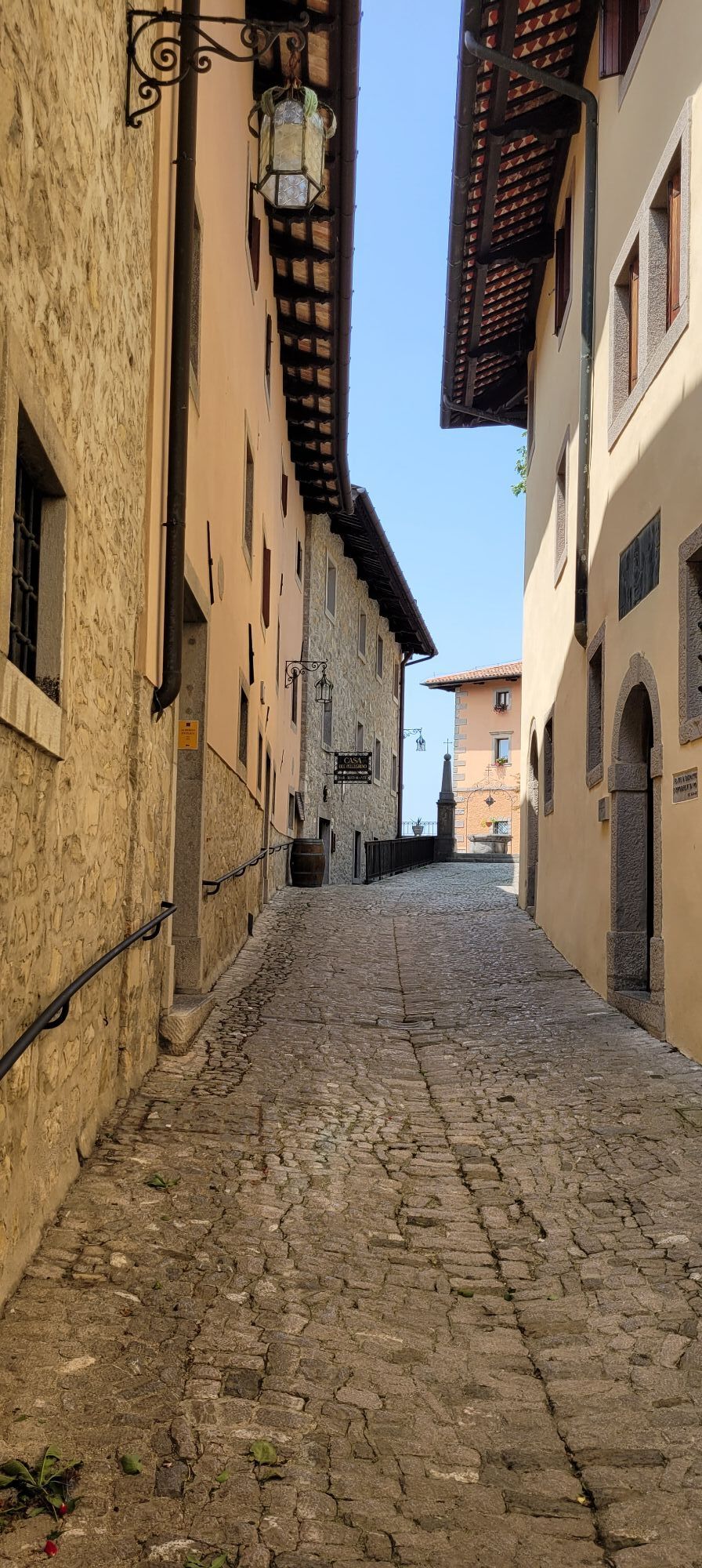
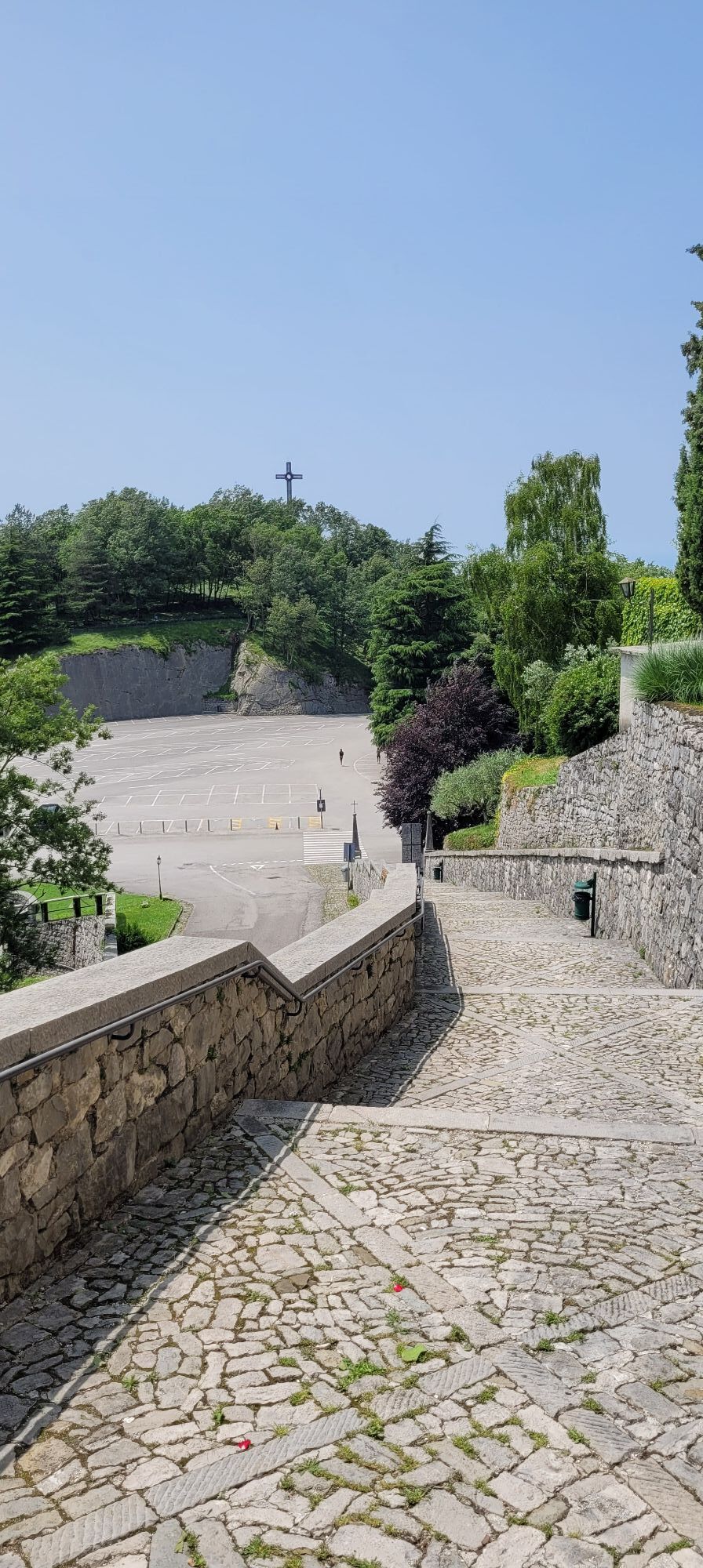
Still immersed in a green and hilly countryside, this not particularly demanding stretch unfolds in the heart of eastern Friuli, mostly following the same path as the Alpe Adria Trail, which is easily identifiable. Slowly heading south and penetrating deeper into these areas, it offers panoramic views and charming landscapes where once again the signs of the First World War blend as one with the territory. This fusion of tradition, history, and culture culminates with the arrival at Castelmonte, known mostly for its important Marian sanctuary, a pilgrimage destination and one of the most famous sanctuaries in the Friuli Venezia Giulia region.

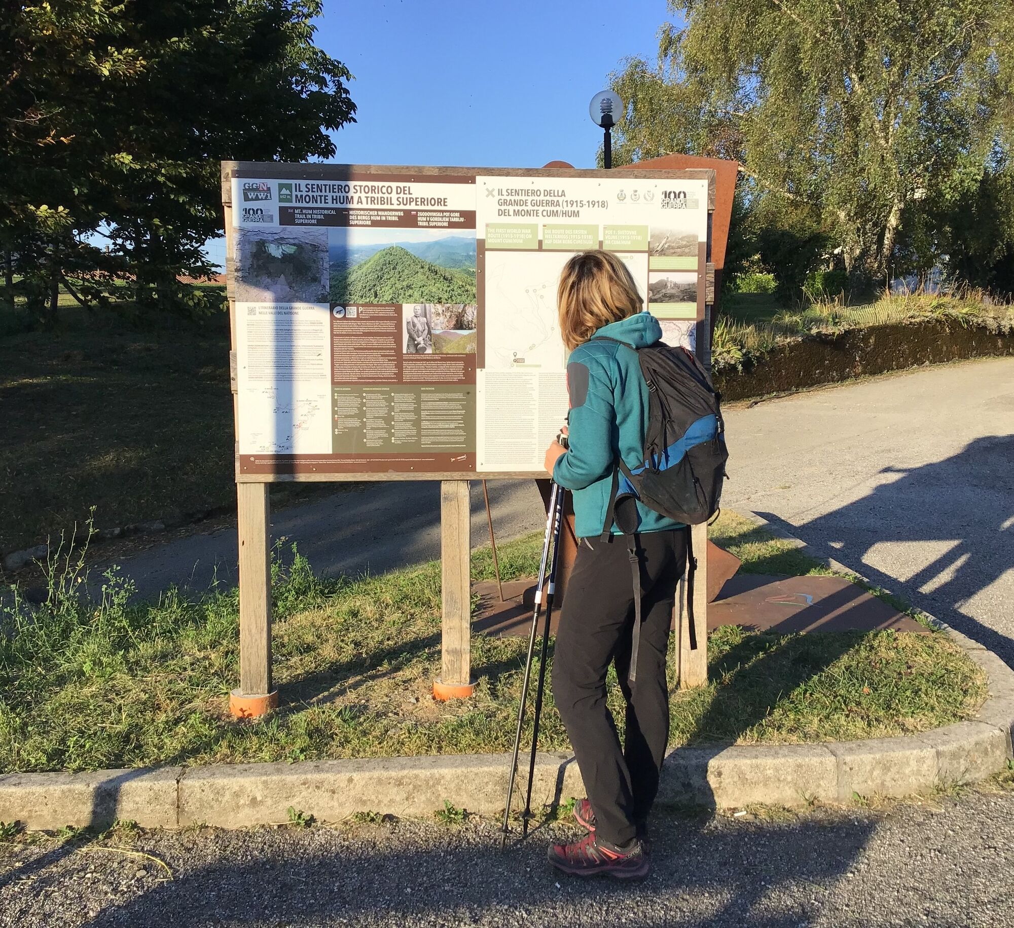
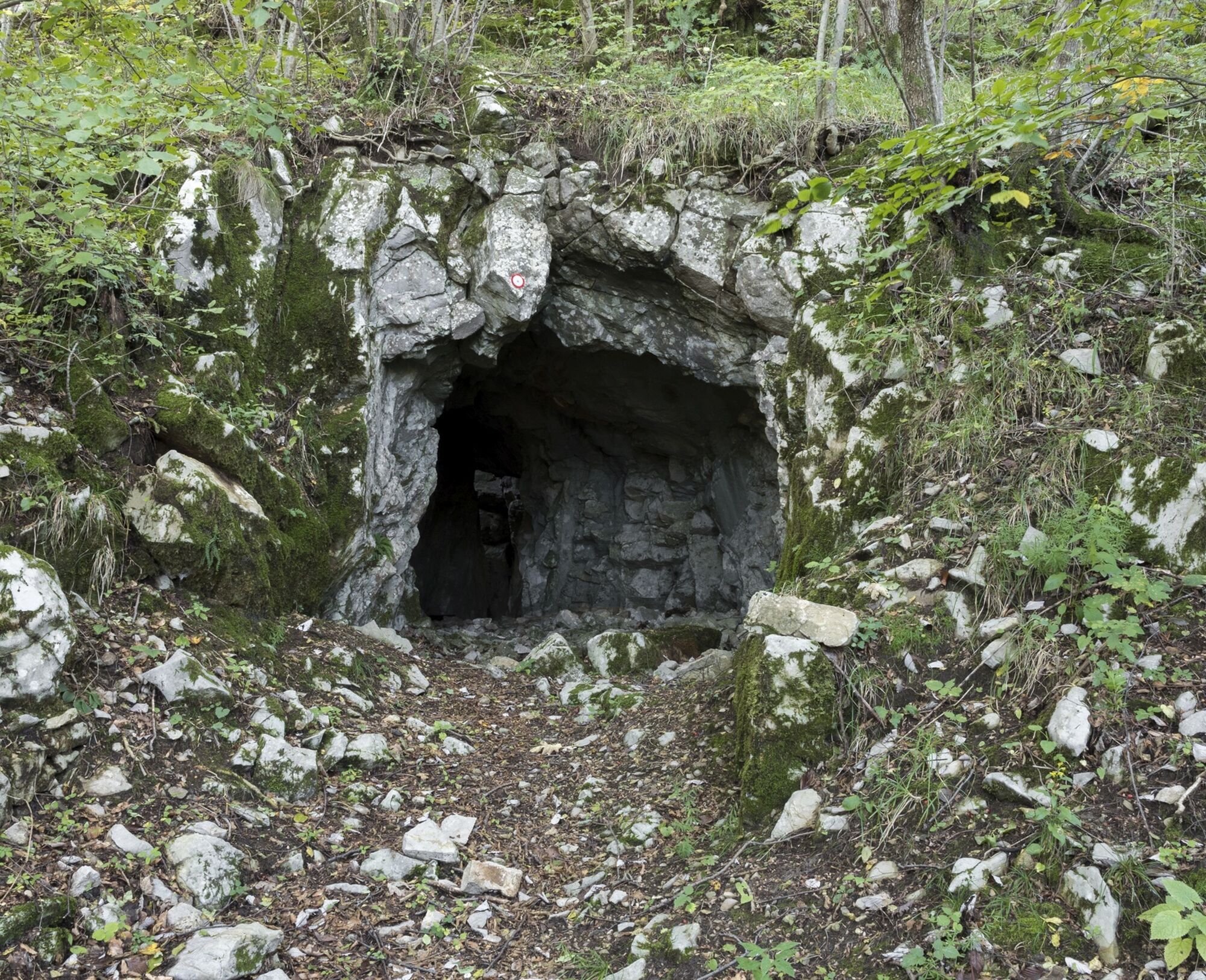
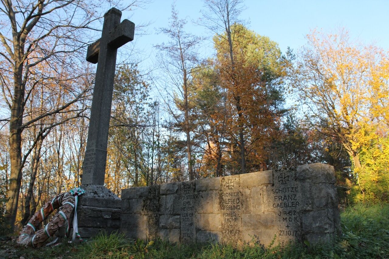
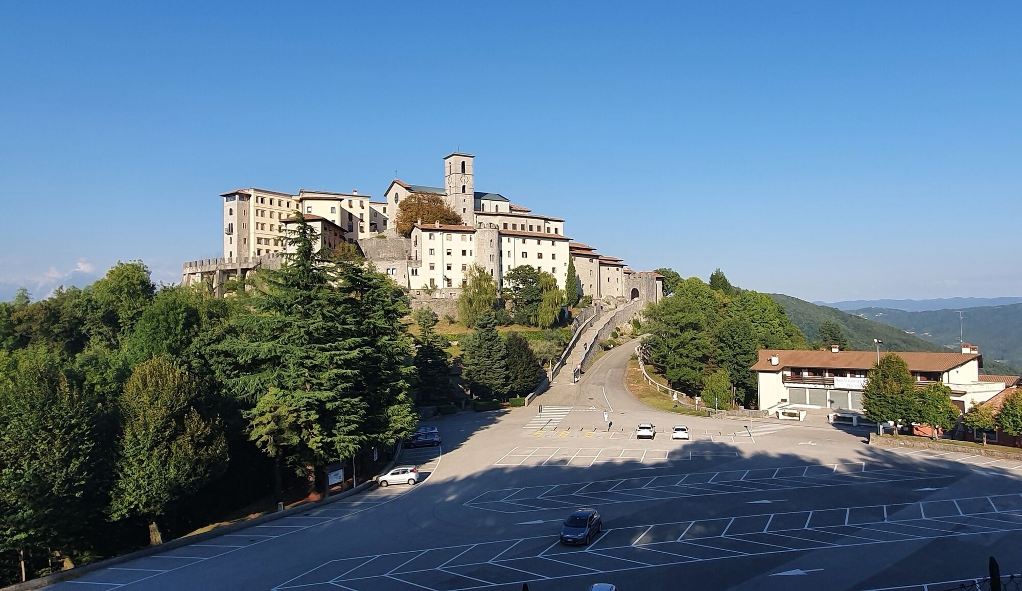

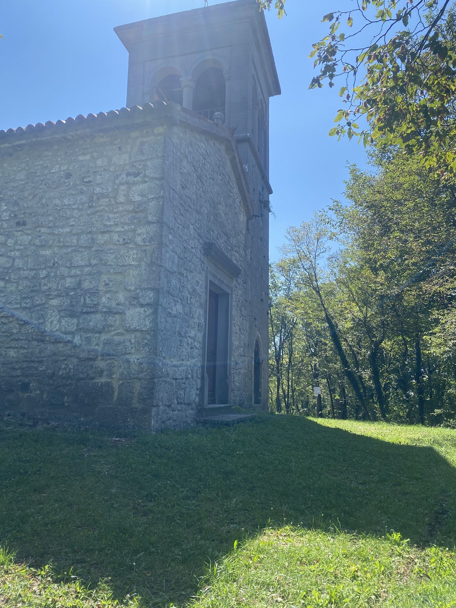
The stage start is located in the characteristic village of Tribil Superiore and from there you continue by following the CAI 747 path, in this stretch particularly scenic, up to the small church of San Nicolò where the remains of some German soldiers' graves fallen during the 1917 advance are visible. You then proceed towards Castelmonte and come across a forest road continuing towards Monte Spig where the Italian defensive positions facing the valley below, Judrio/Idrija, have been cleared. From here, you resume the CAI 747 path until you reach Castelmonte, the goal of this stage and home to an important Marian sanctuary.
Trekking shoes and clothing, packed food and drinks, flashlight, trekking poles.
During winter months, beware of possible snow and ice both on the trails and along ordinary roads.
Connections to and from Tribil Superiore:
Line 314 SAF UDINE: suburban line Cividale del Friuli–Scrutto–Stregna–Tribil Superiore
Connections to and from Castelmonte:
Line 304 SAF: Castelmonte–Cividale del Friuli–Premariacco–Udine
Start: At the sports field of Tribil Superiore
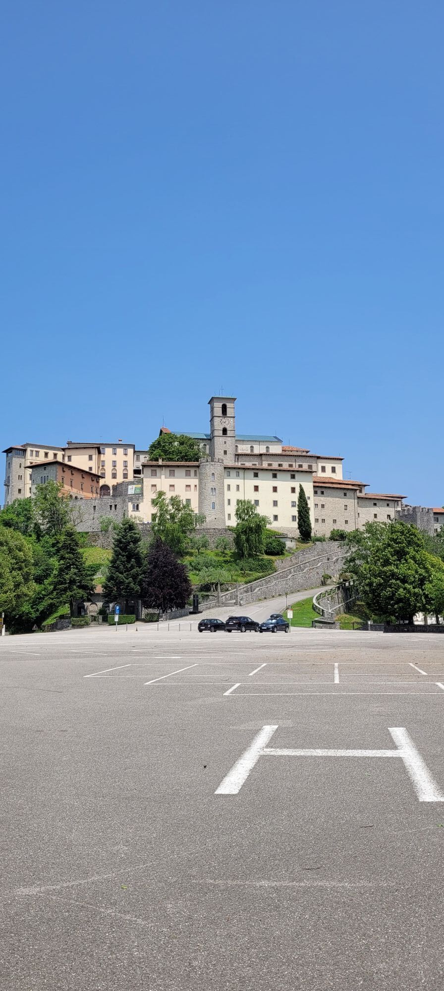
Arrival: Parking lot of the Sanctuary of Castelmonte
T1
Získejte přehled
Vždy živě na místě s více než 9 500 webkamerami. bergfex Jako uživatel Pro si nyní můžete zobrazit odpovídající webové kamery pro mnoho prohlídek v aplikaci prohlídky z. Můžete si tak přímo prohlédnout aktuální podmínky.
Oblíbené prohlídky v okolí
-
4.0
Matajur
středníMountainbike 24.8 km -
4.2
Kolovrat
středníMountainbike 33.0 km -
5.0
JULIANA TRAIL - stage 12: Tolmin – Kobarid
středníTuristika 17.3 km -
4.7
Etappe 27 Alpe-Adria-Trail: Tolmin - Tribil Superiore
heavyTuristika 19.4 km -
4.7
Etappe 30 Alpe-Adria-Trail: Breg bei Golo Brdo - Šmartno
střednídálková pěší trasa 27.4 km -
4.7
Etappe 26: Alpe-Adria-Trail: Drežnica - Tolmin
heavydálková pěší trasa 22.4 km -
Kolovrat mountain loop
světloTuristika 7.51 km -
Trasa Gorizia - Kanal (SLO) (P004)
středníCyklistika na velkou vzdálenost 22.2 km -
4.0
Matajur (1642 m) from Marsin
středníTuristika 10.2 km -
JULIANA TRAIL: stage 11 Most na Soči – Tolmin
středníTuristika 8.12 km
Pěší turistika a stopování


Nenechte si ujít nabídky a inspiraci pro vaši příští dovolenou
Vaše e-mailová adresa byl přidán do poštovního seznamu.





