






Matajur (1642 m) from Marsin


There are many very different maintained and marked hiking trails leading to Matajur. Three different accesses are arranged on the Slovenian side, and as many as seven on the Italian side. The shortest...
There are many very different maintained and marked hiking trails leading to Matajur. Three different accesses are arranged on the Slovenian side, and as many as seven on the Italian side. The shortest and easiest path (738) starts at the Pelizzo hut (1325 m), which is comfortably accessible by car. The longest (749), where you have to overcome over 1400 m of elevation gain, starts in Špetru. The steepest, most demanding and challenging is the Via Palma ferrata which starts from the main road along the Nadiža River, just before the former border crossing. Our path from Marsin is one of the moderate options.
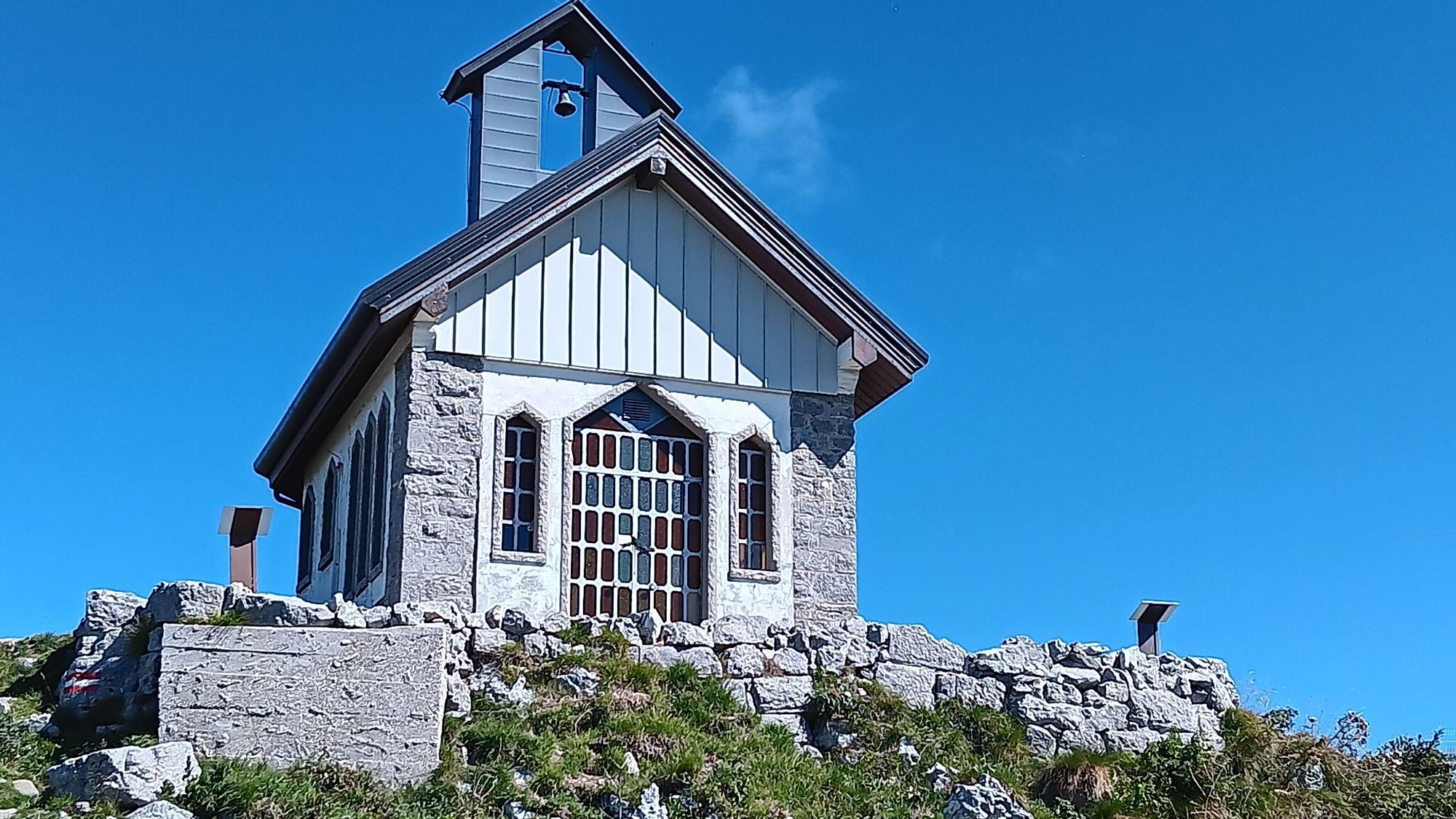
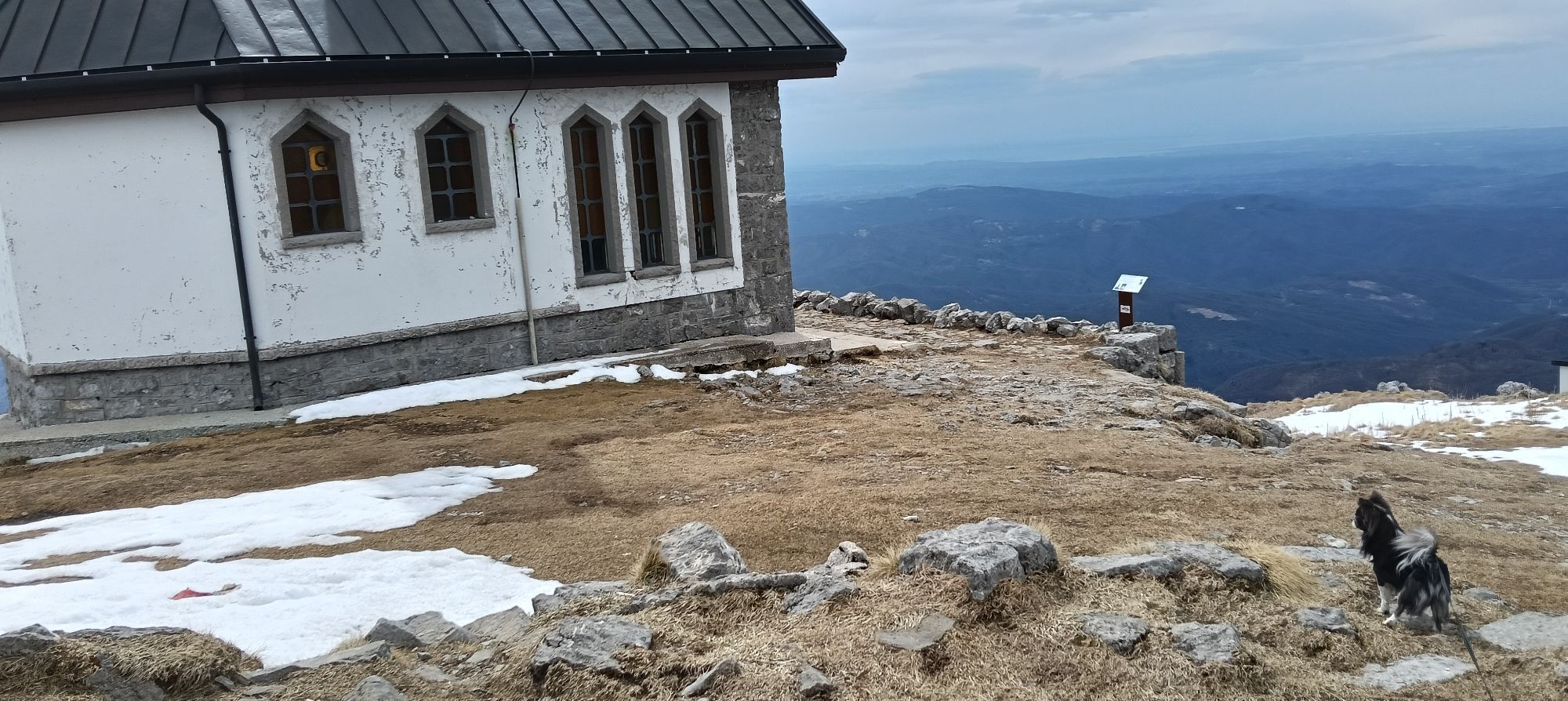
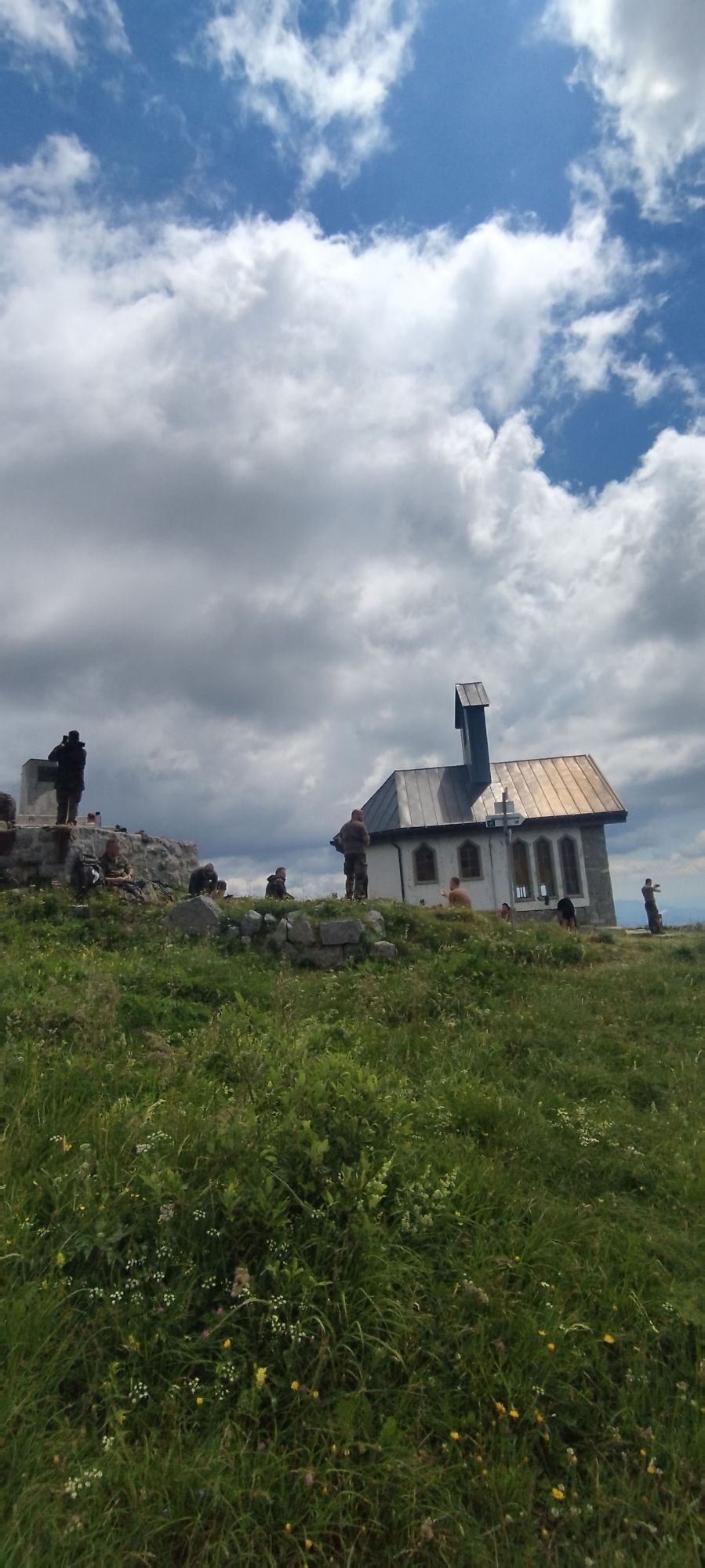
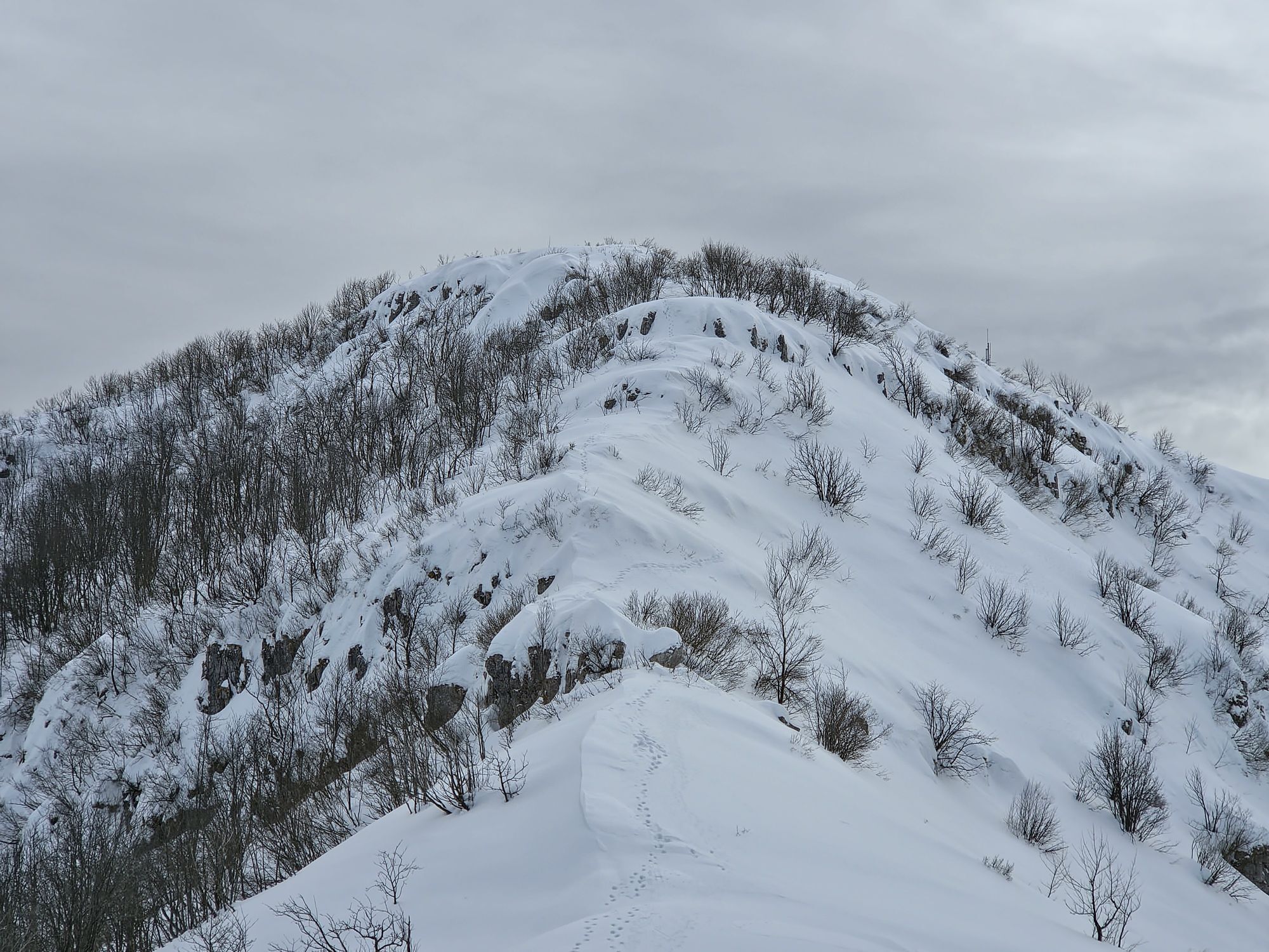
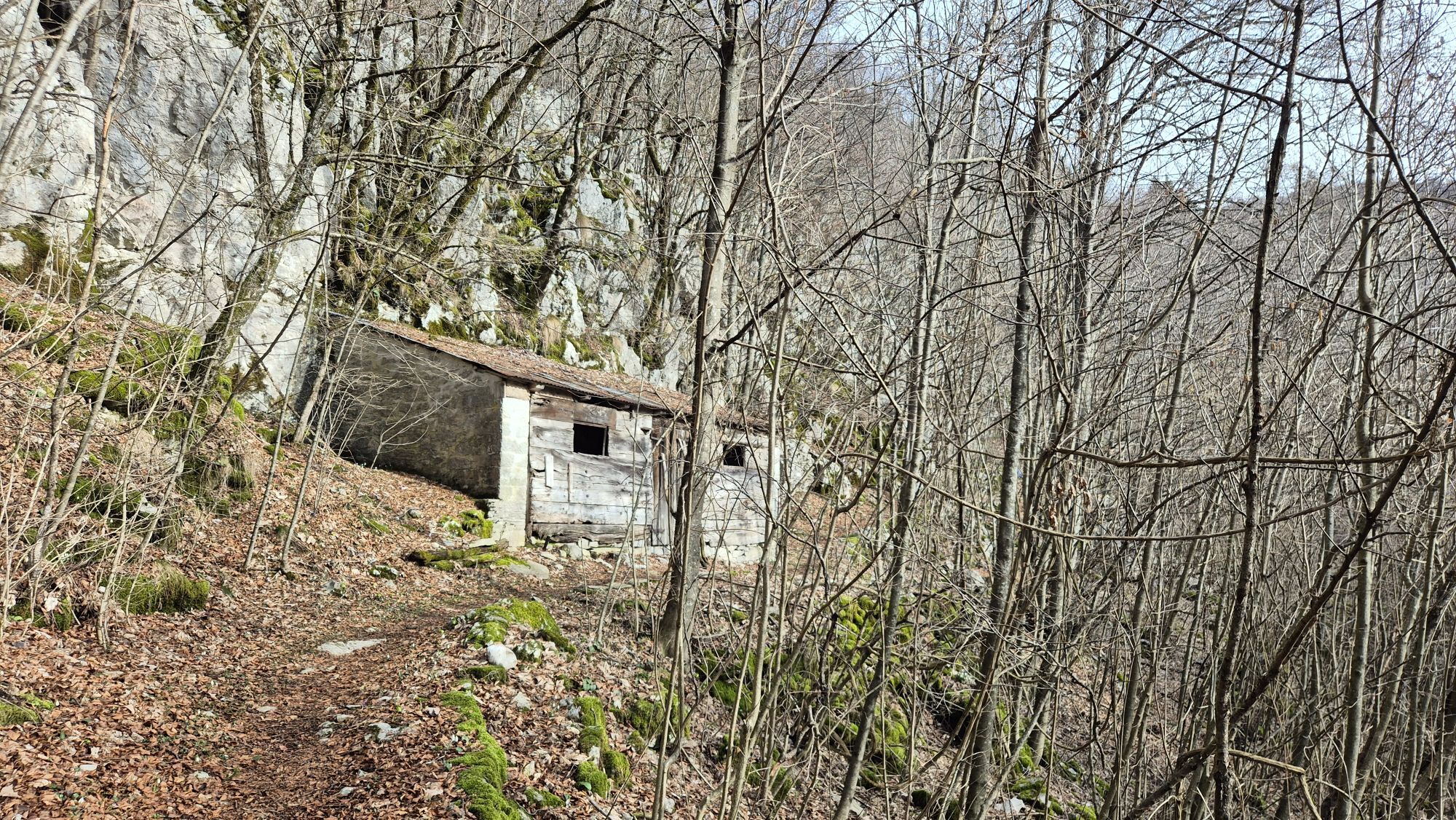
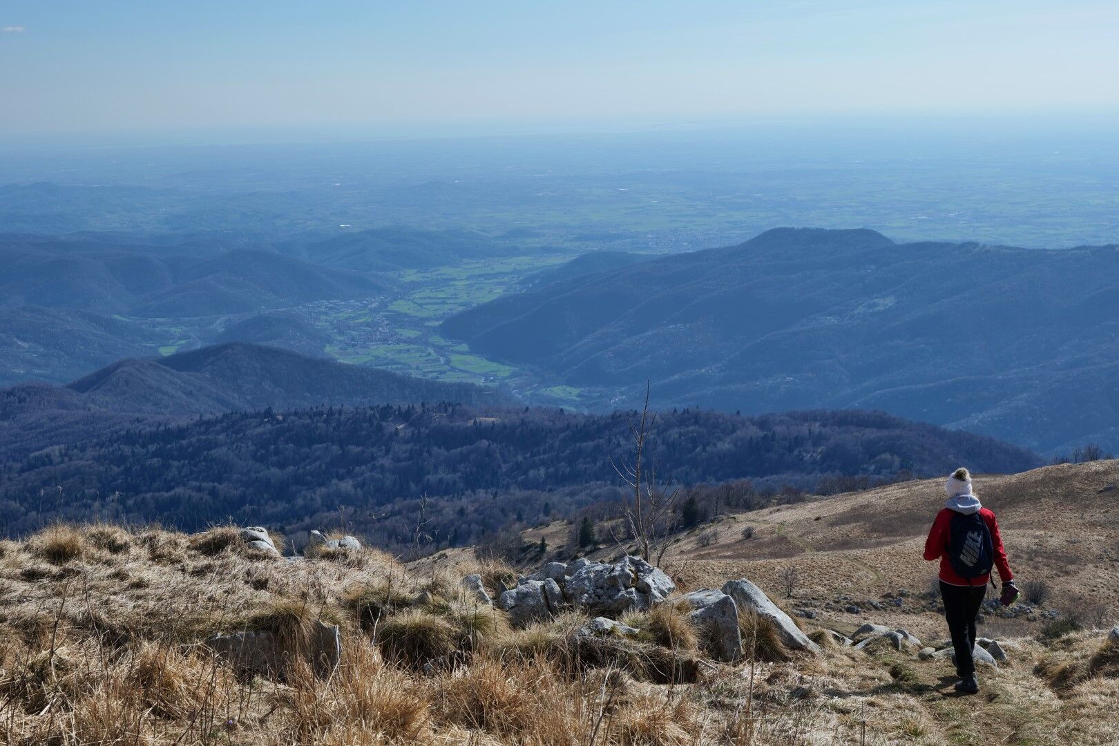
Matajur is a Venetian mountain, and the path from Marsin shows its most Venetian face. Access through villages scattered on steep slopes, a lonely church on a scenic hill, an ancient route through forests, mountain pastures, and as a reward the view from the highest vantage point over the whole Venetian region.
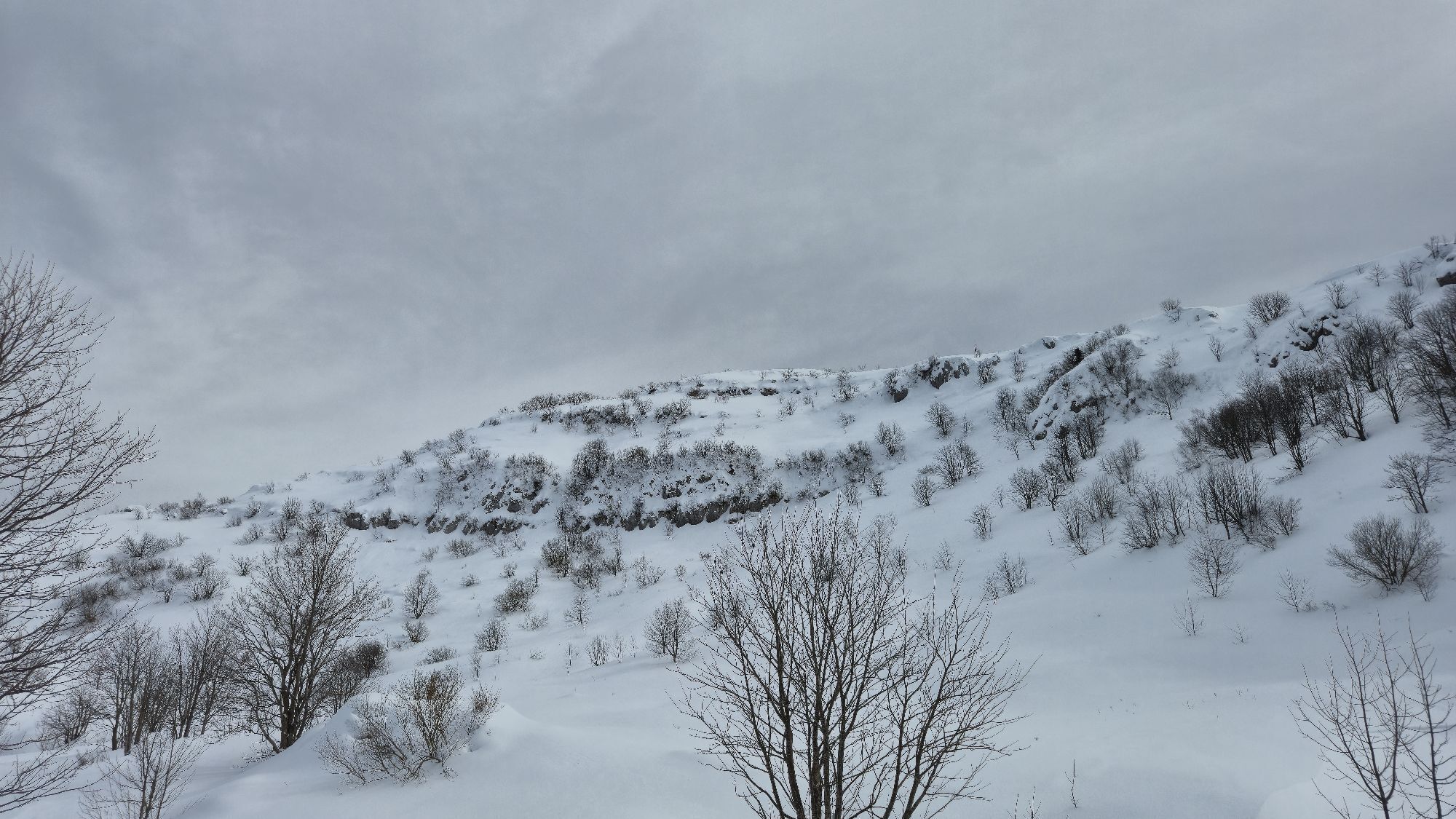
The path (CAI 725) could start already in the valley, in the village of Štupca, but the start is steep and strenuous. A much more comfortable option is to drive through Lower and Upper Marsin to the Church of St. Lovronac, which is accessible by car. From here, the trail constantly but much more moderately ascends along the main ridge leading to the summit. First through forests, then over open and increasingly scenic slopes of the Marsin pasture up to the summit.
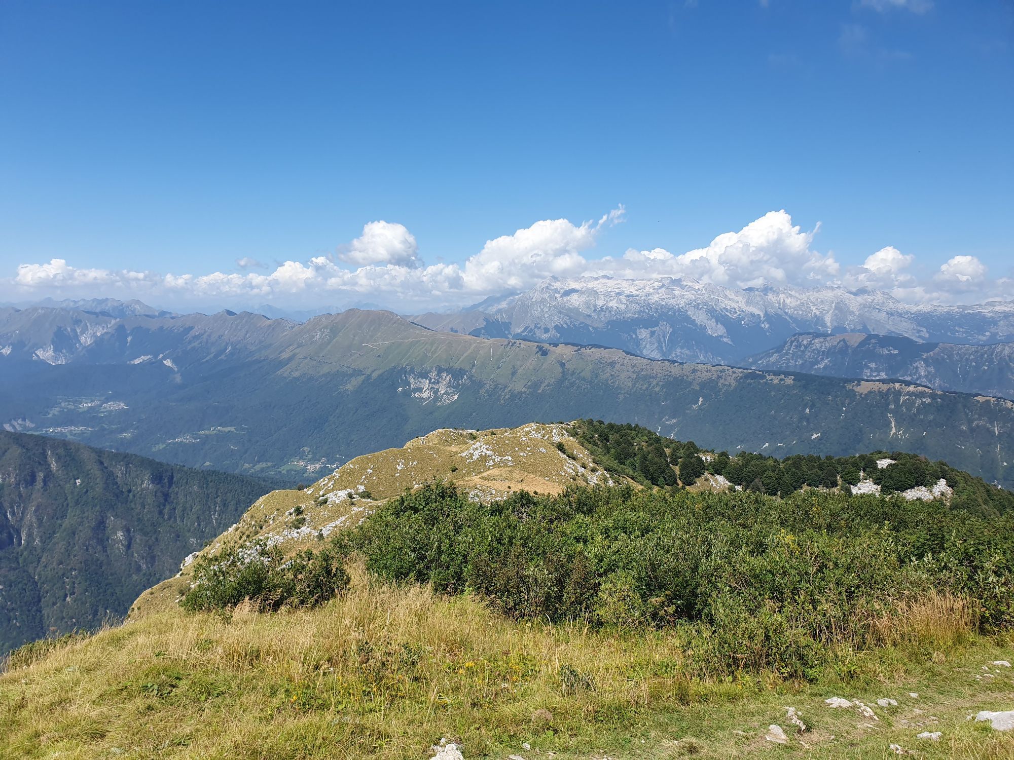
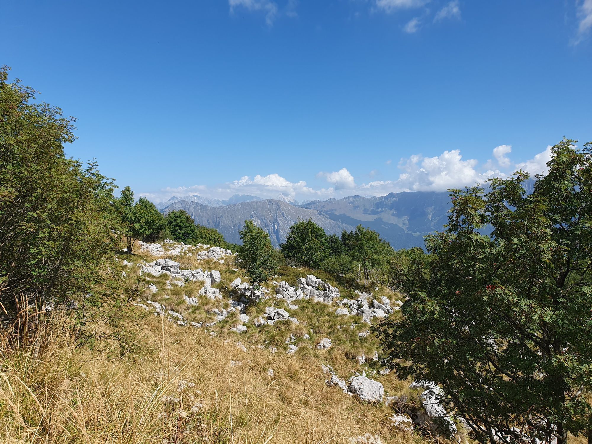
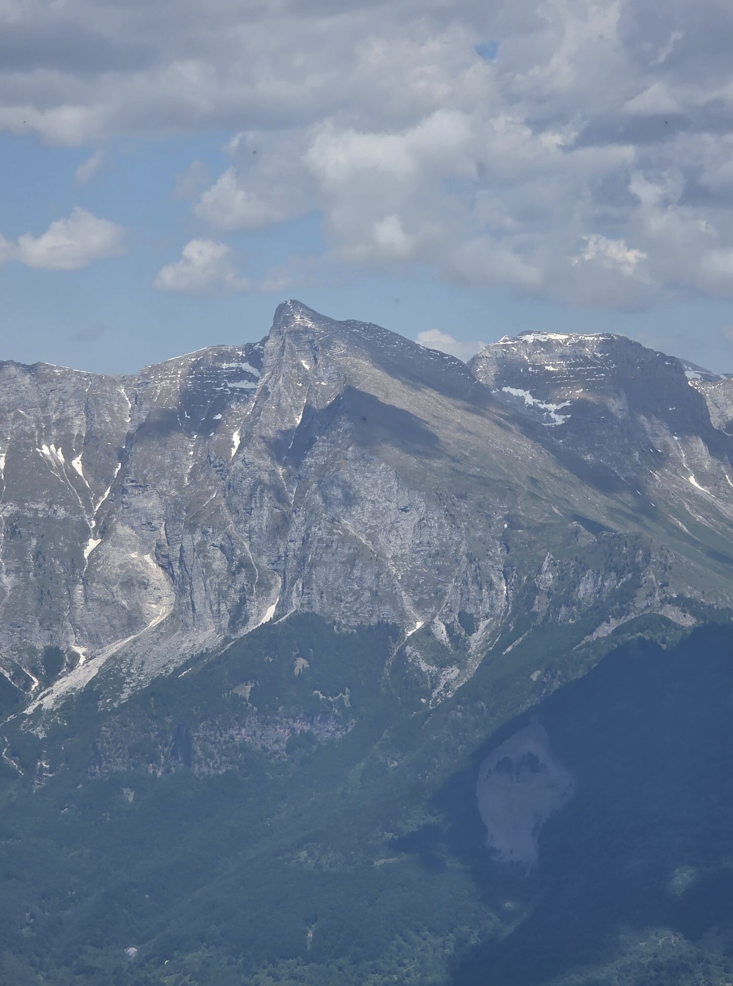
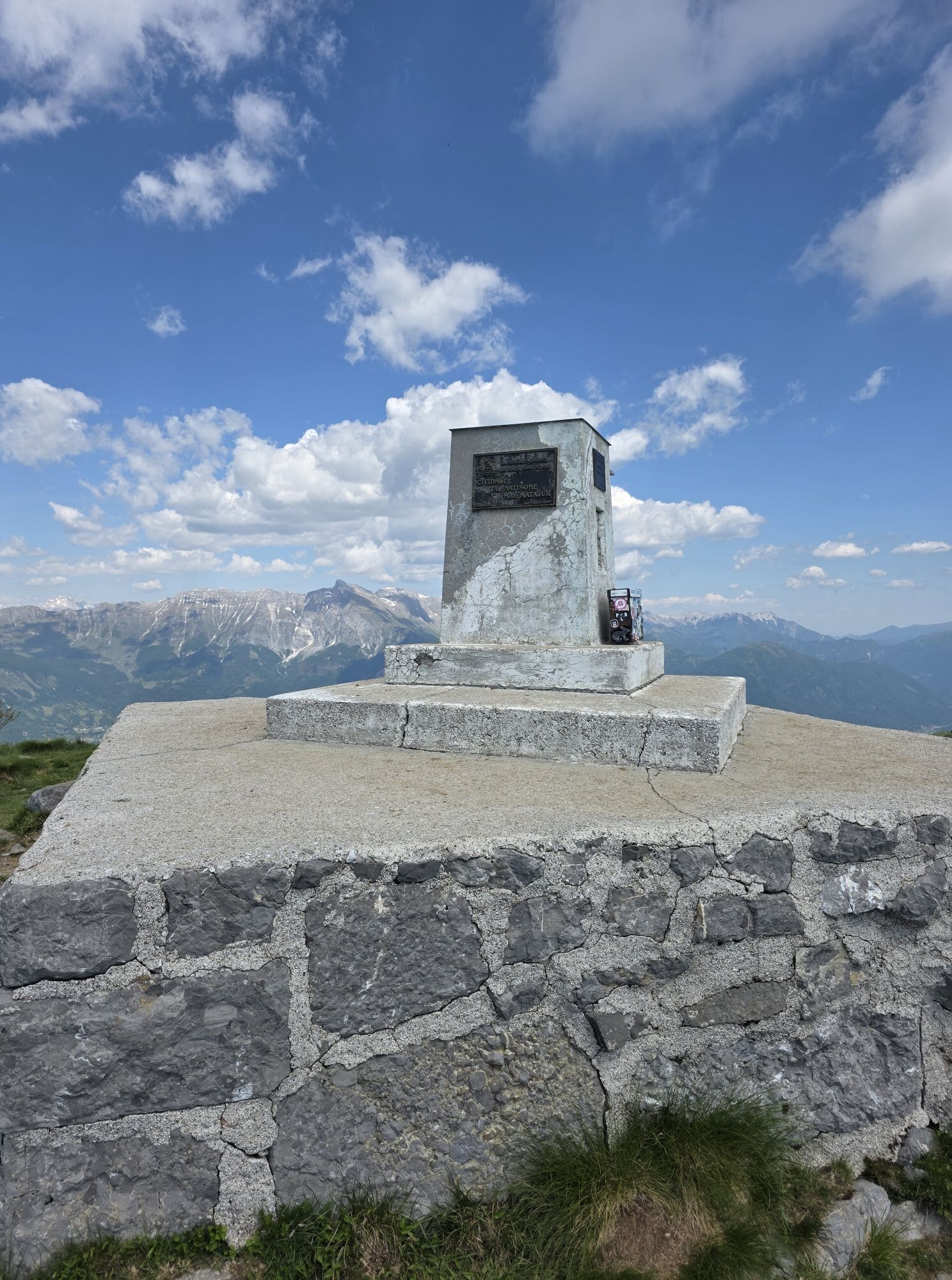
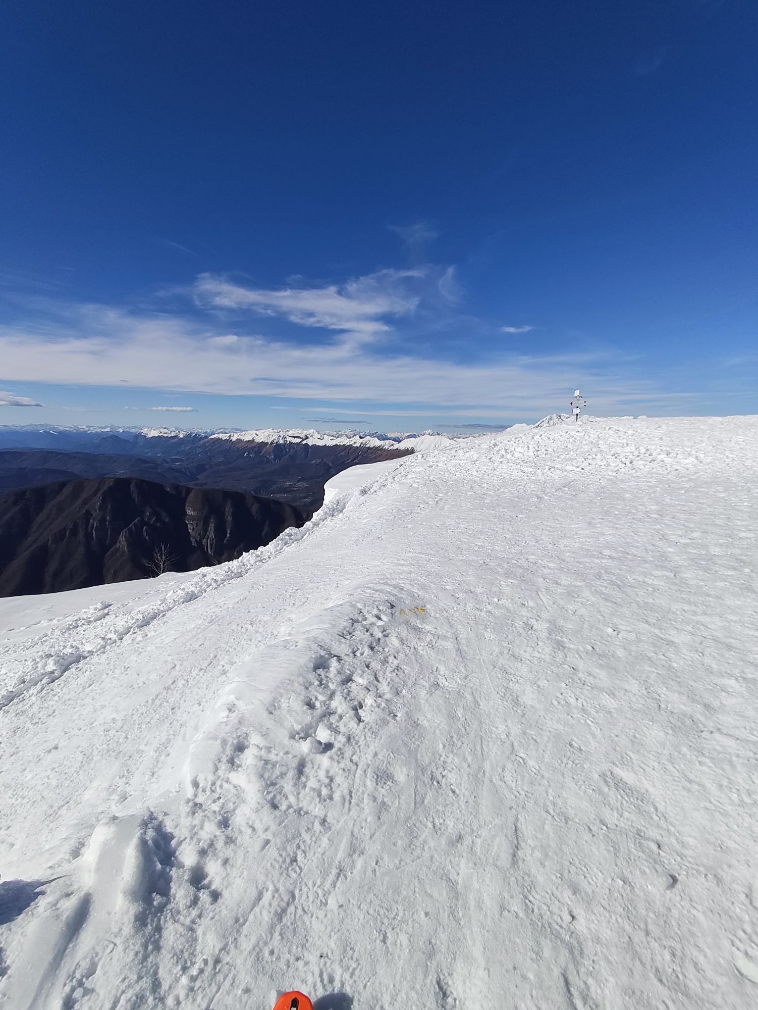
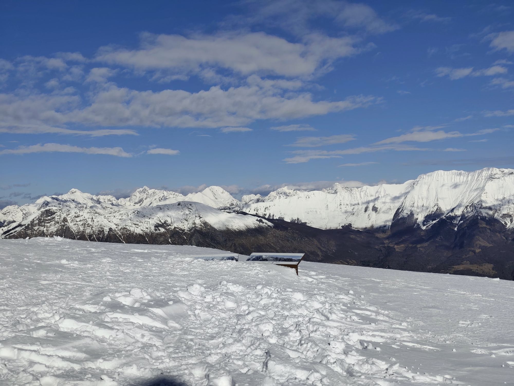
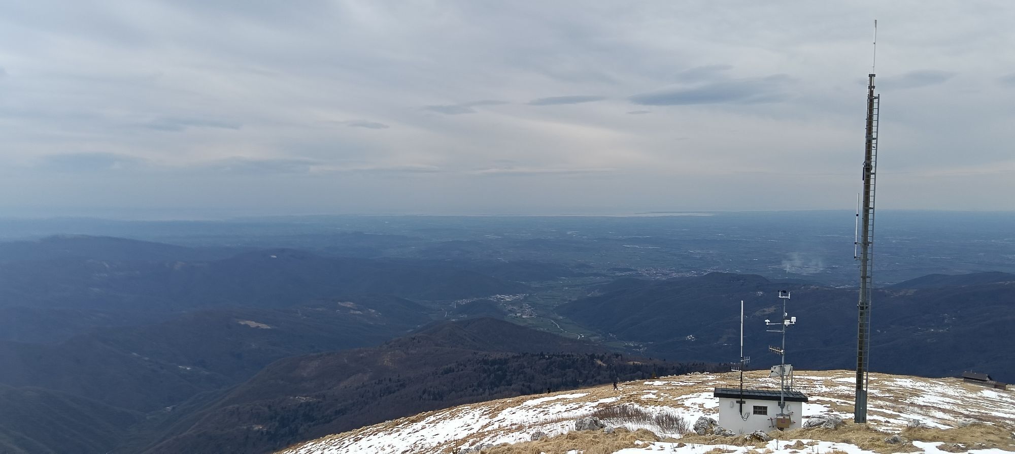
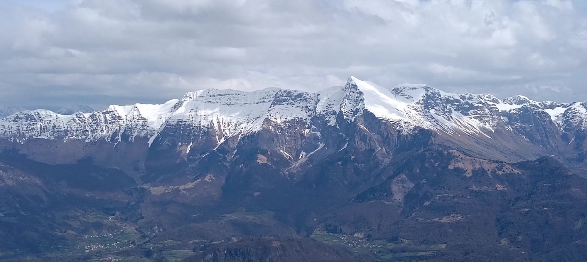
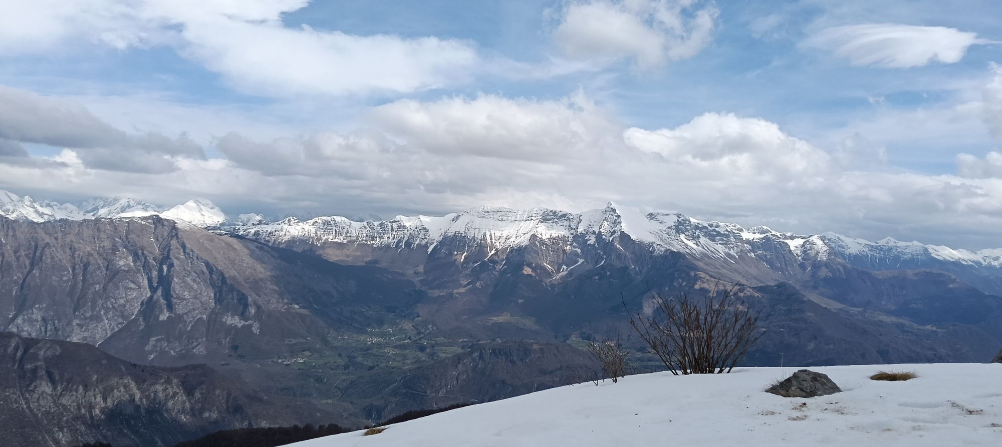
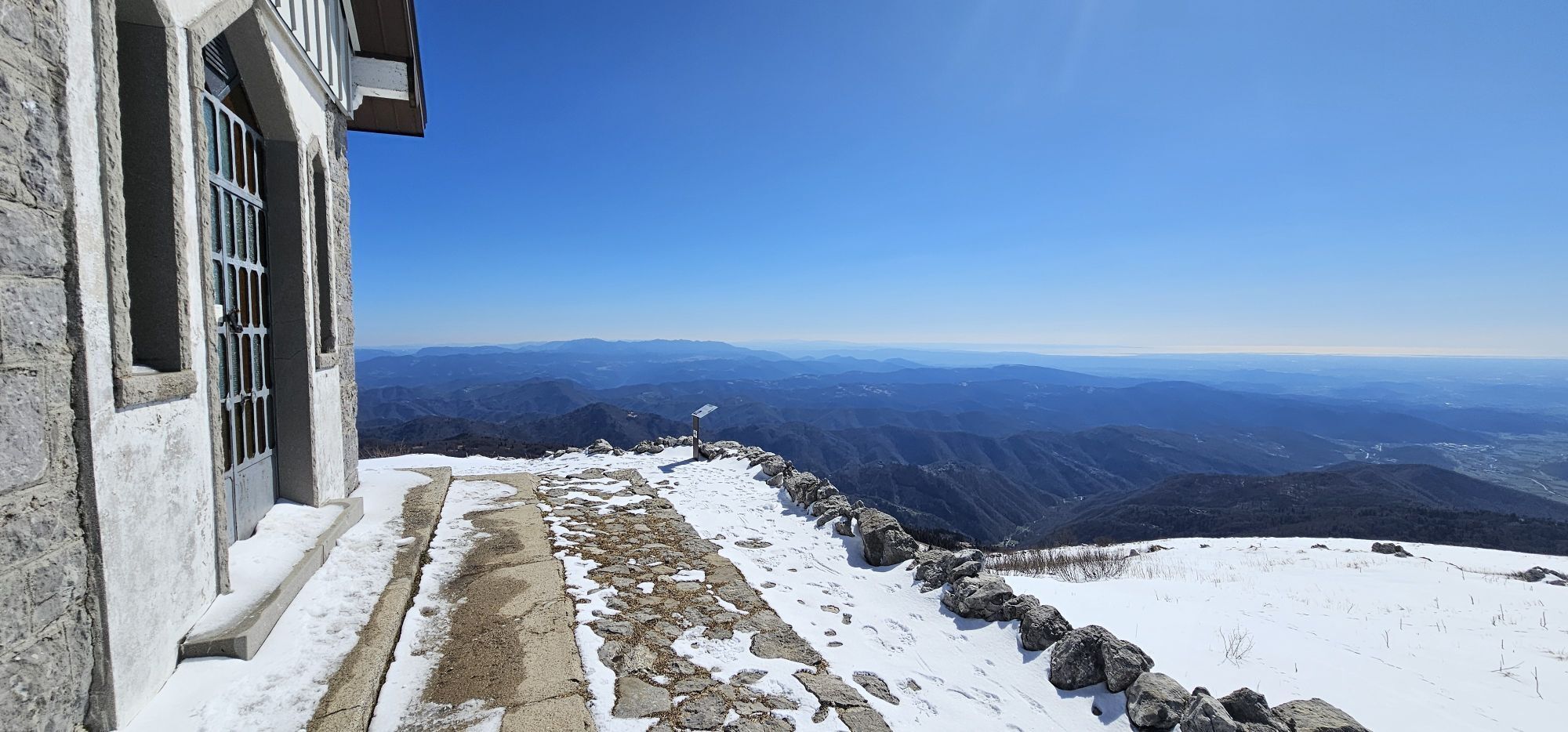
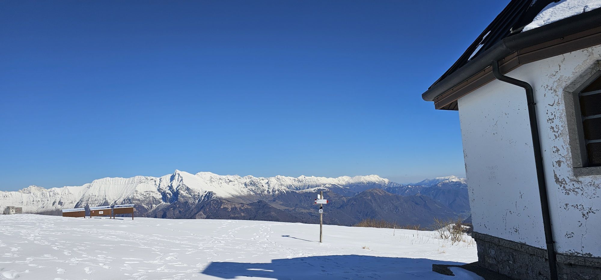
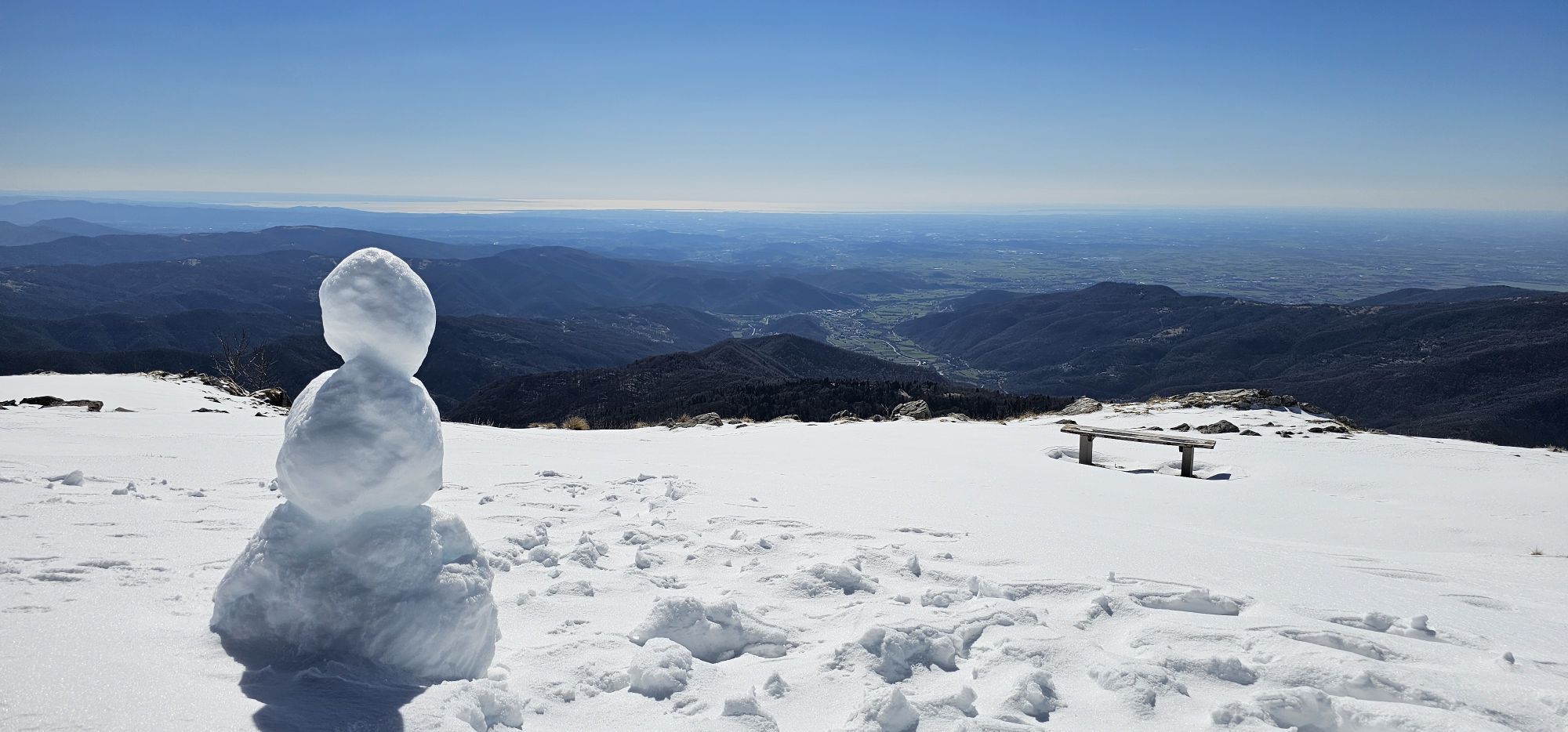
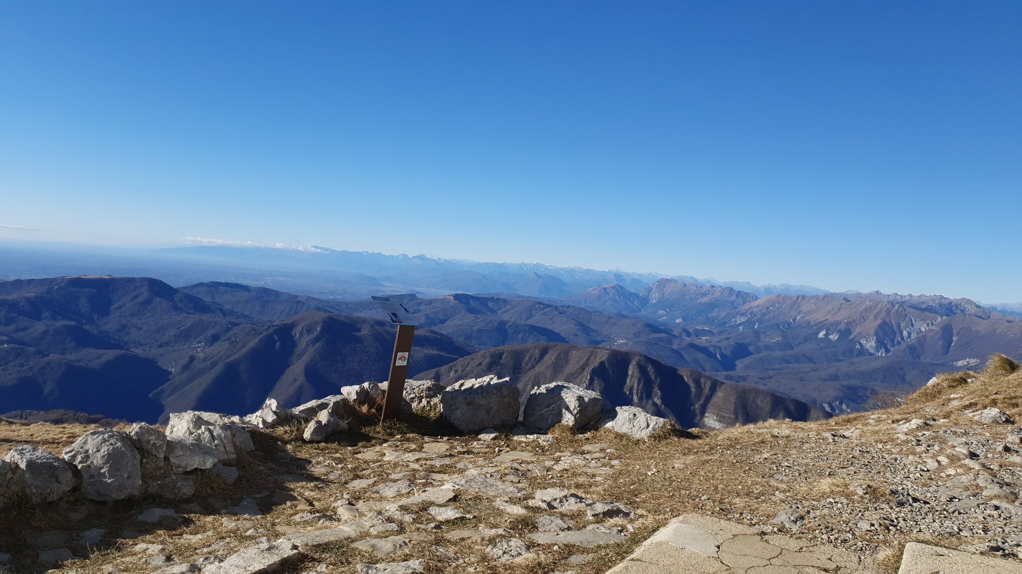
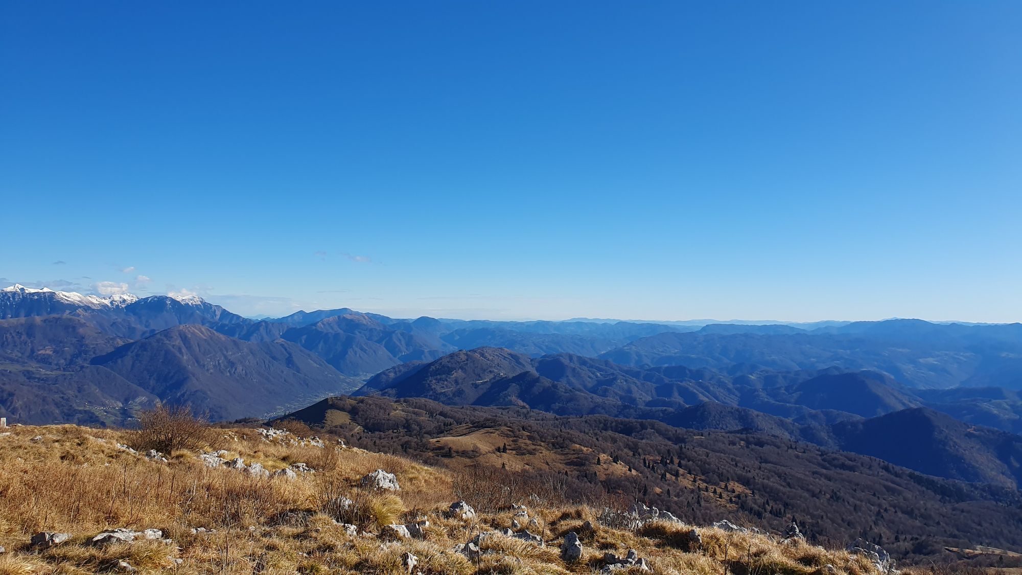
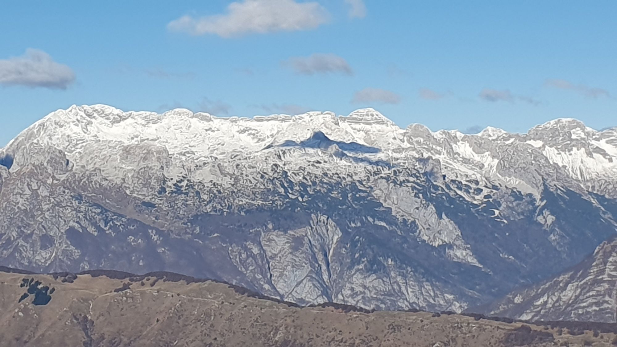
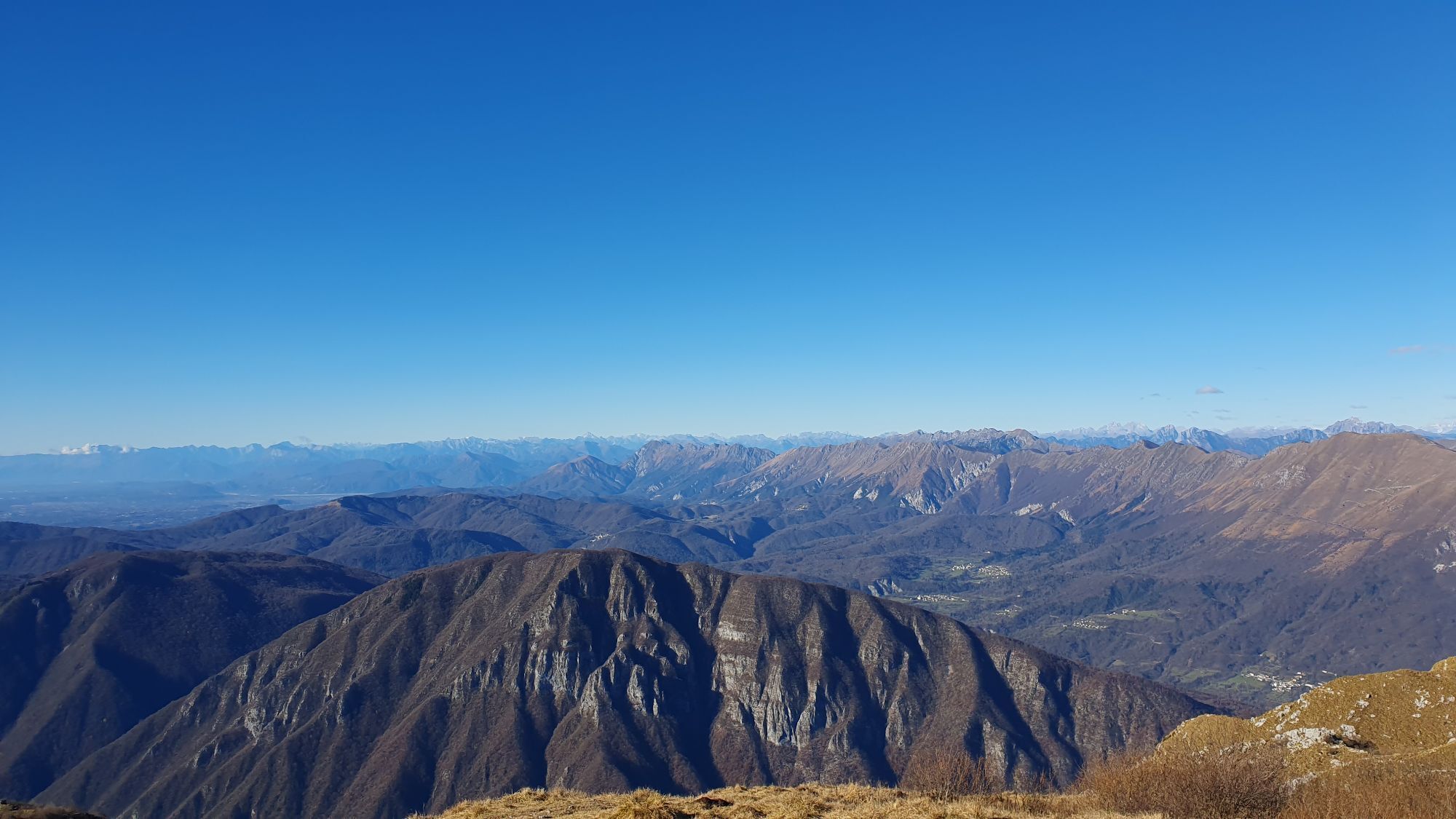
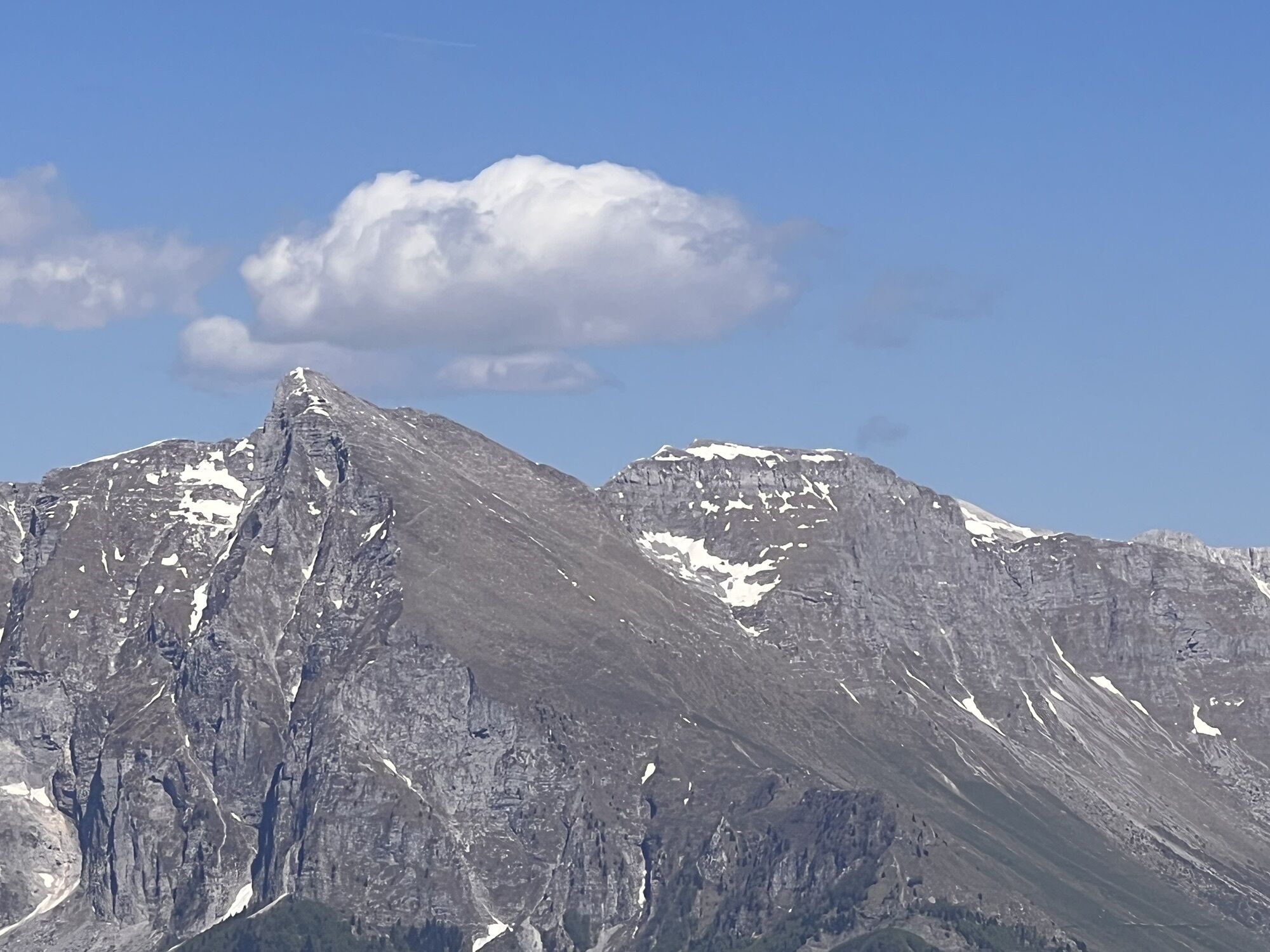
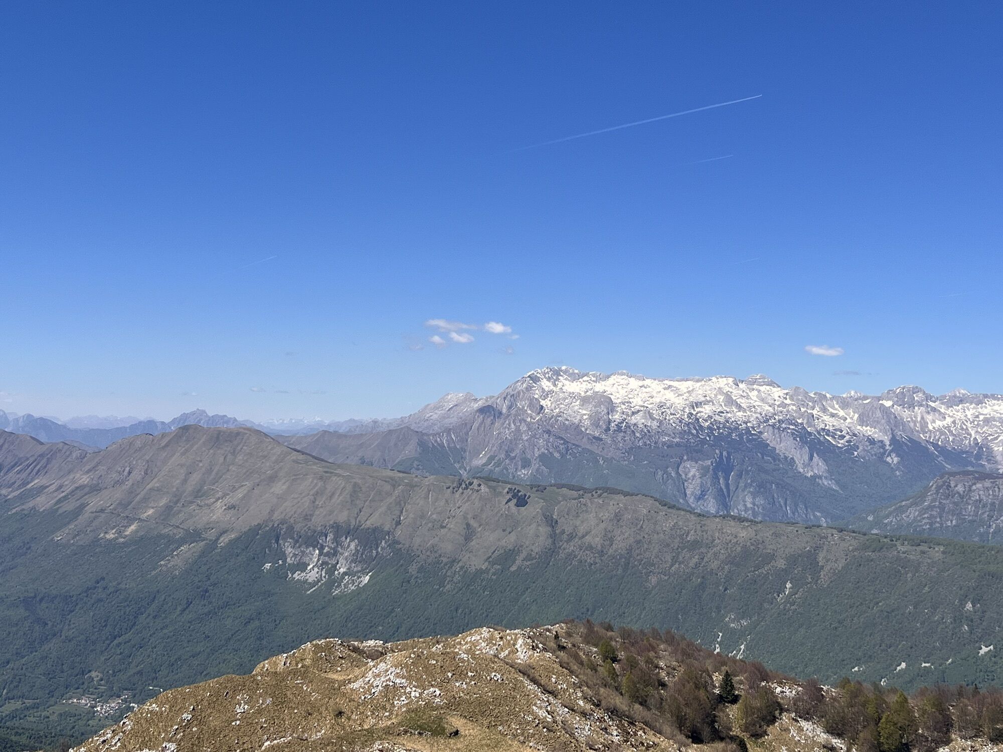
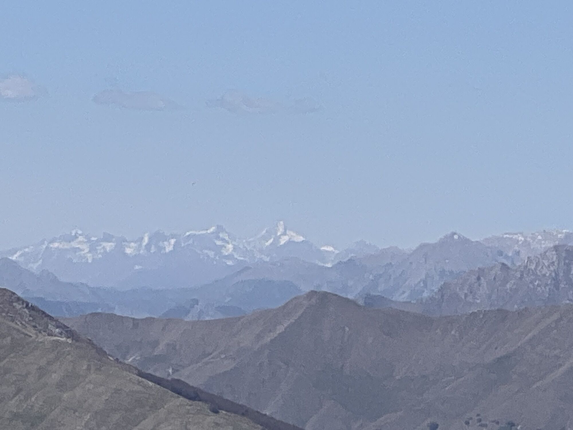
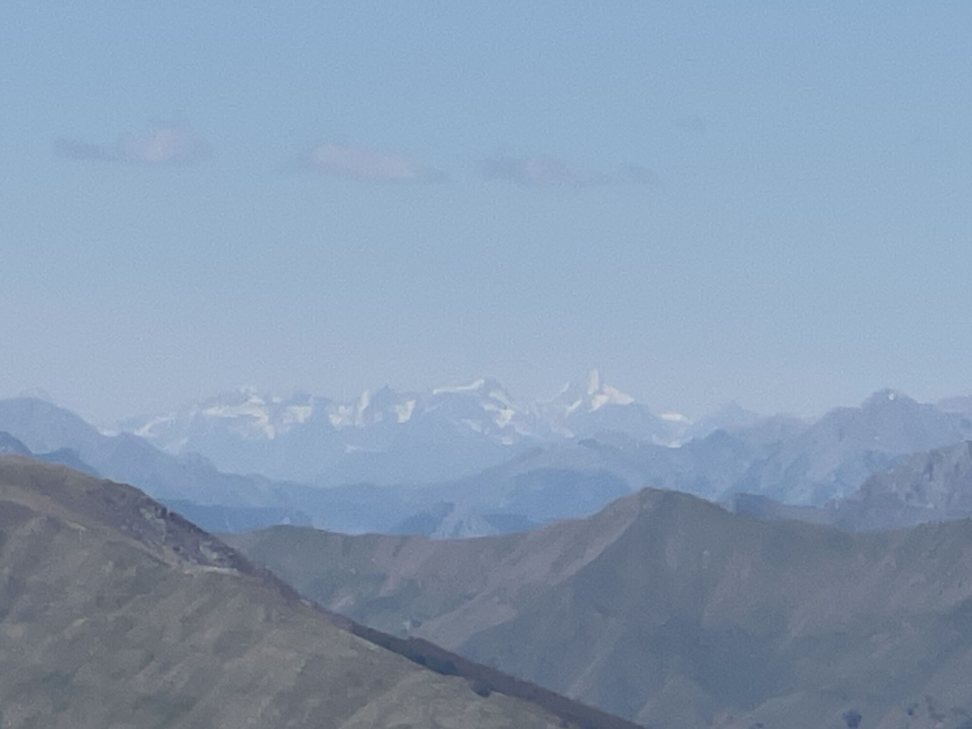
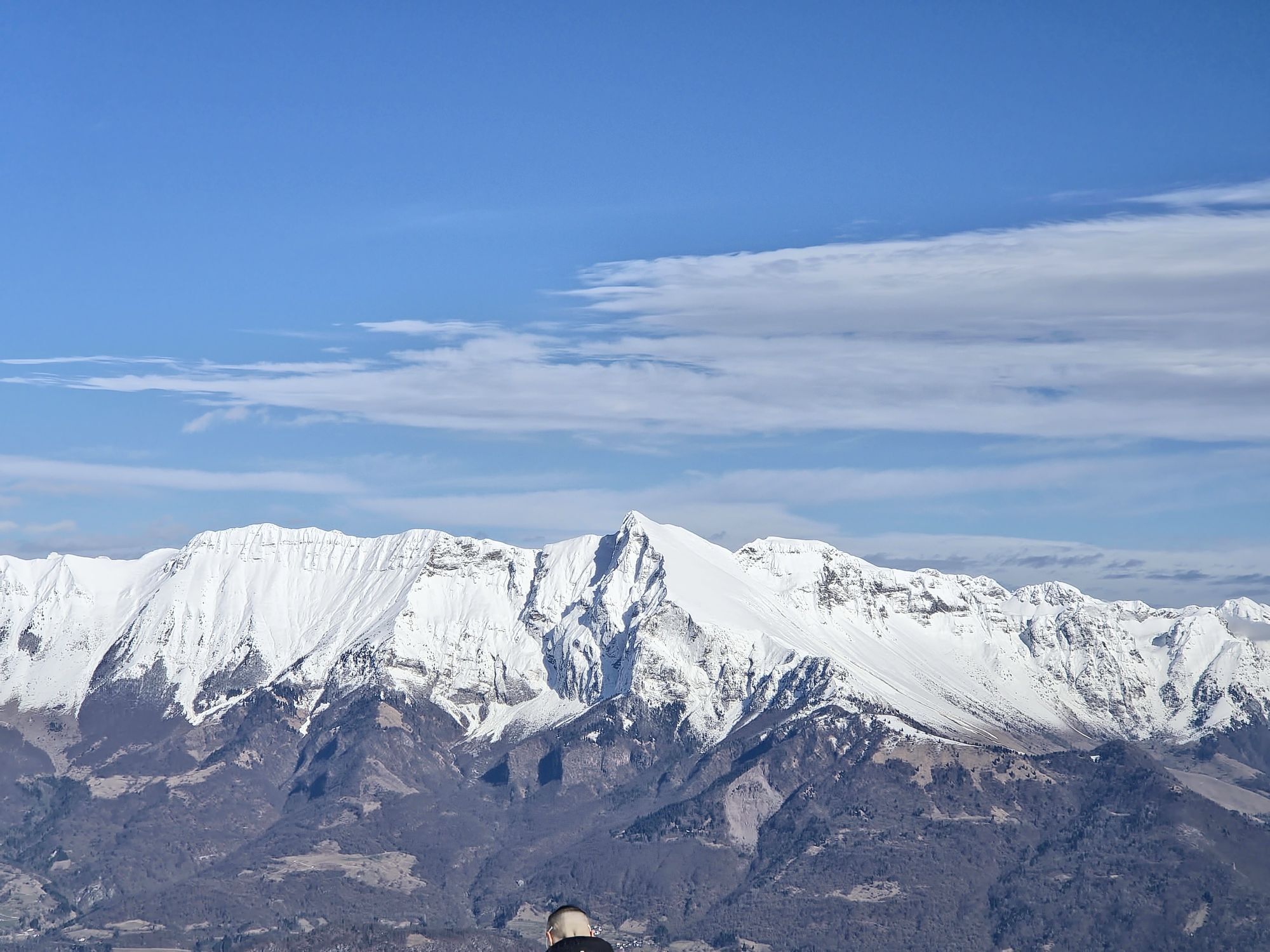
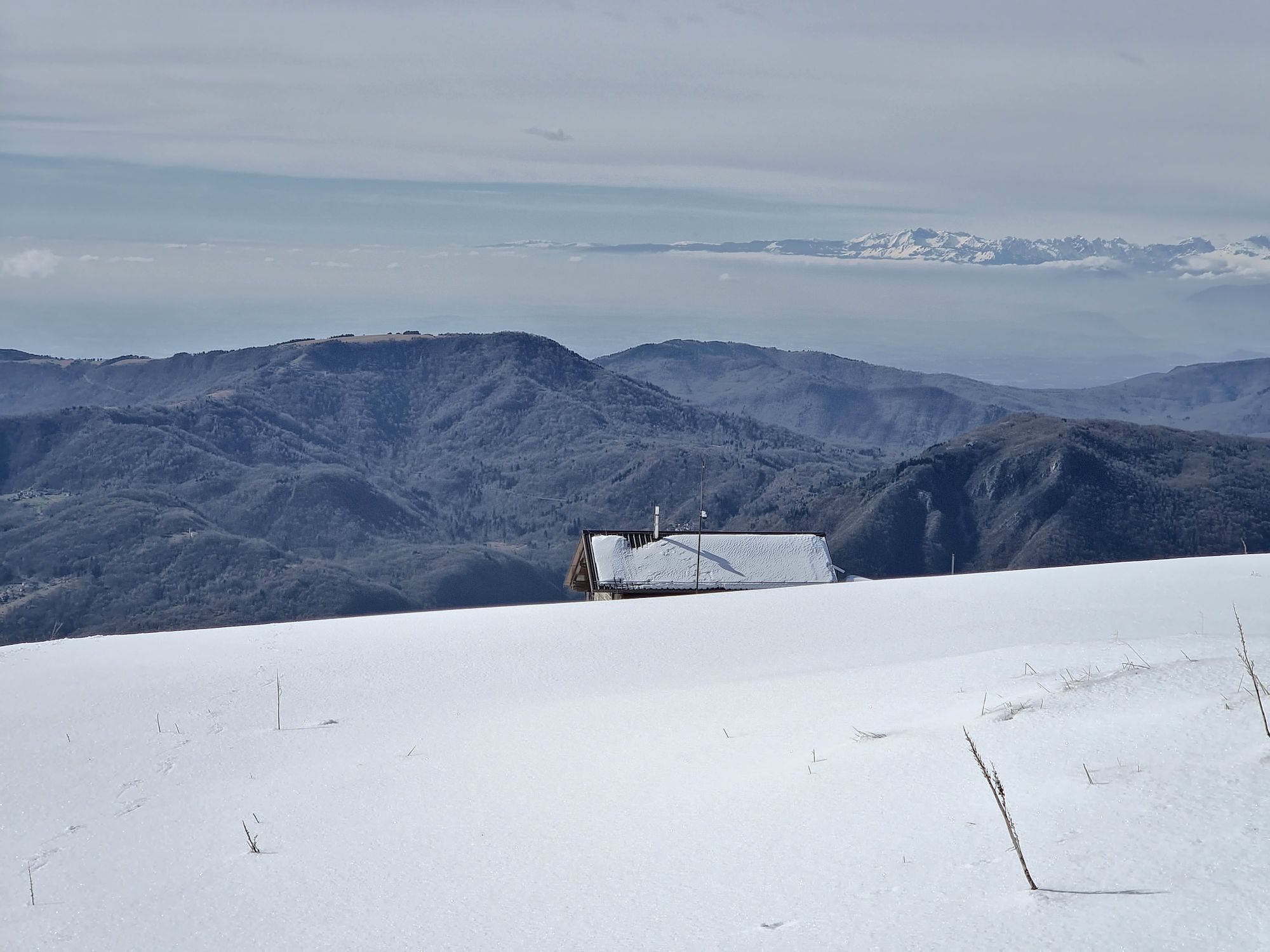
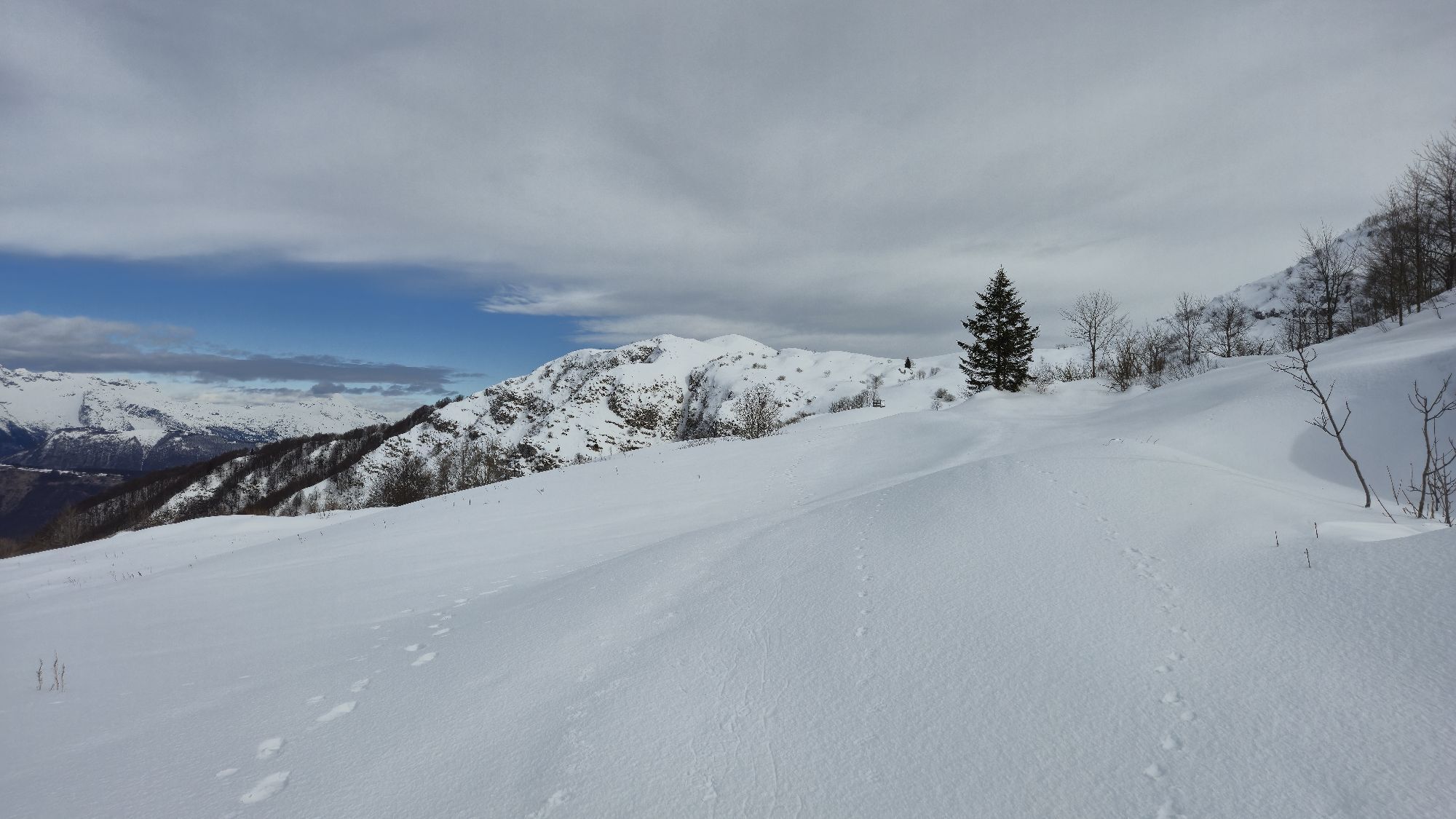
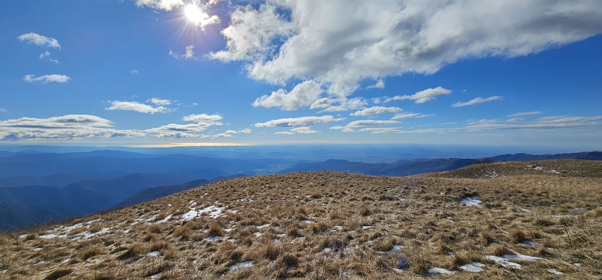
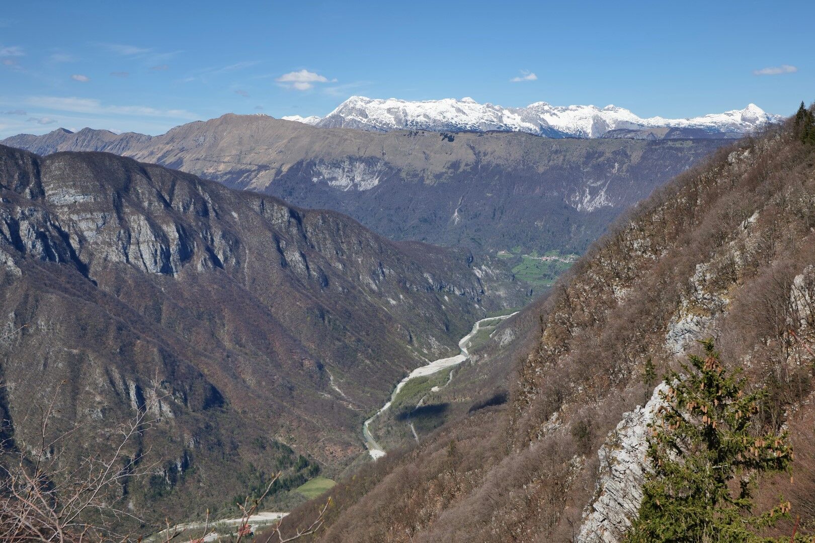
Matajur can be placed at the top or even first place among the most magnificent viewpoints of the pre-Alpine hills. To the south, we have the entire Venetian region below us, with views extending to the Slovene Karst, across the Adriatic Sea, and the Po plain. To the north below us is the SoÄa valley, above which rise the peaks of the Julian Alps that continue into the ridges of the Carnic Alps and further to the high and pointed peaks of the Dolomites. A special pleasure of the Matajur summit is observing the picturesque sunset and the glow of evening colors.
We return to the starting point by more or less the same path.

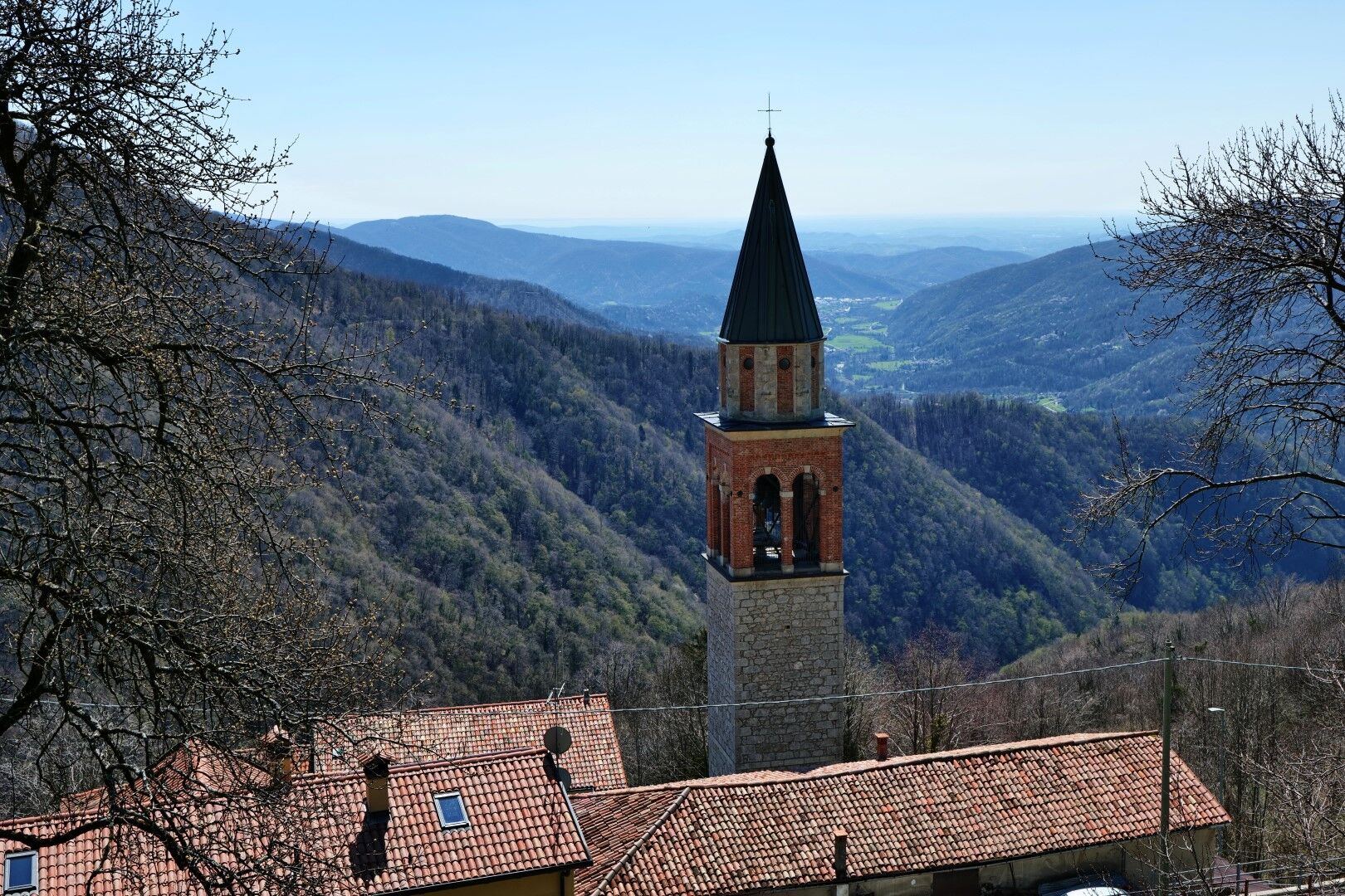
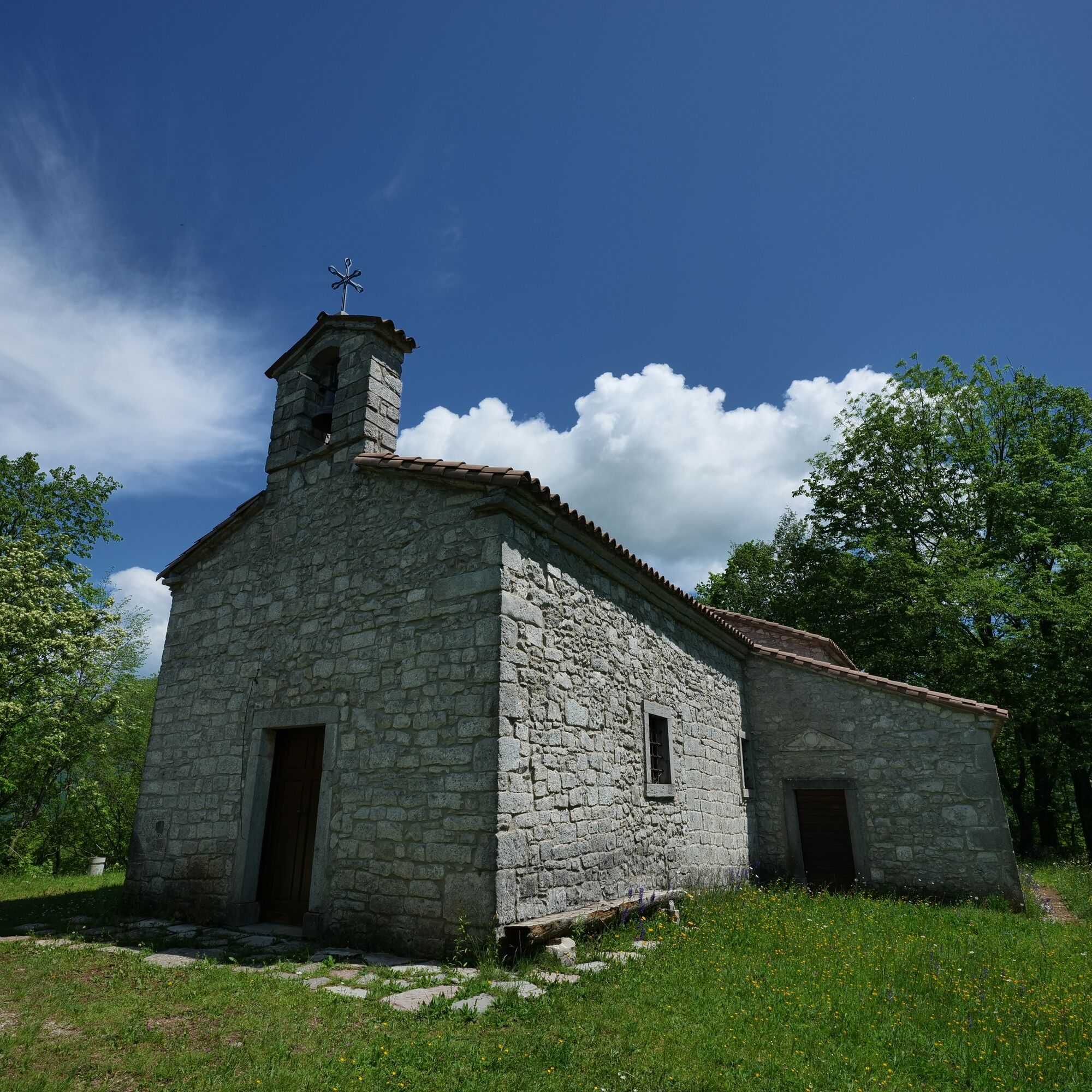

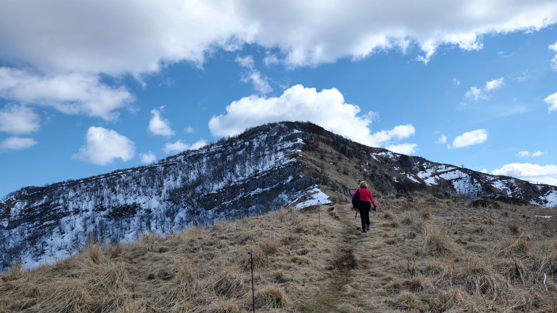
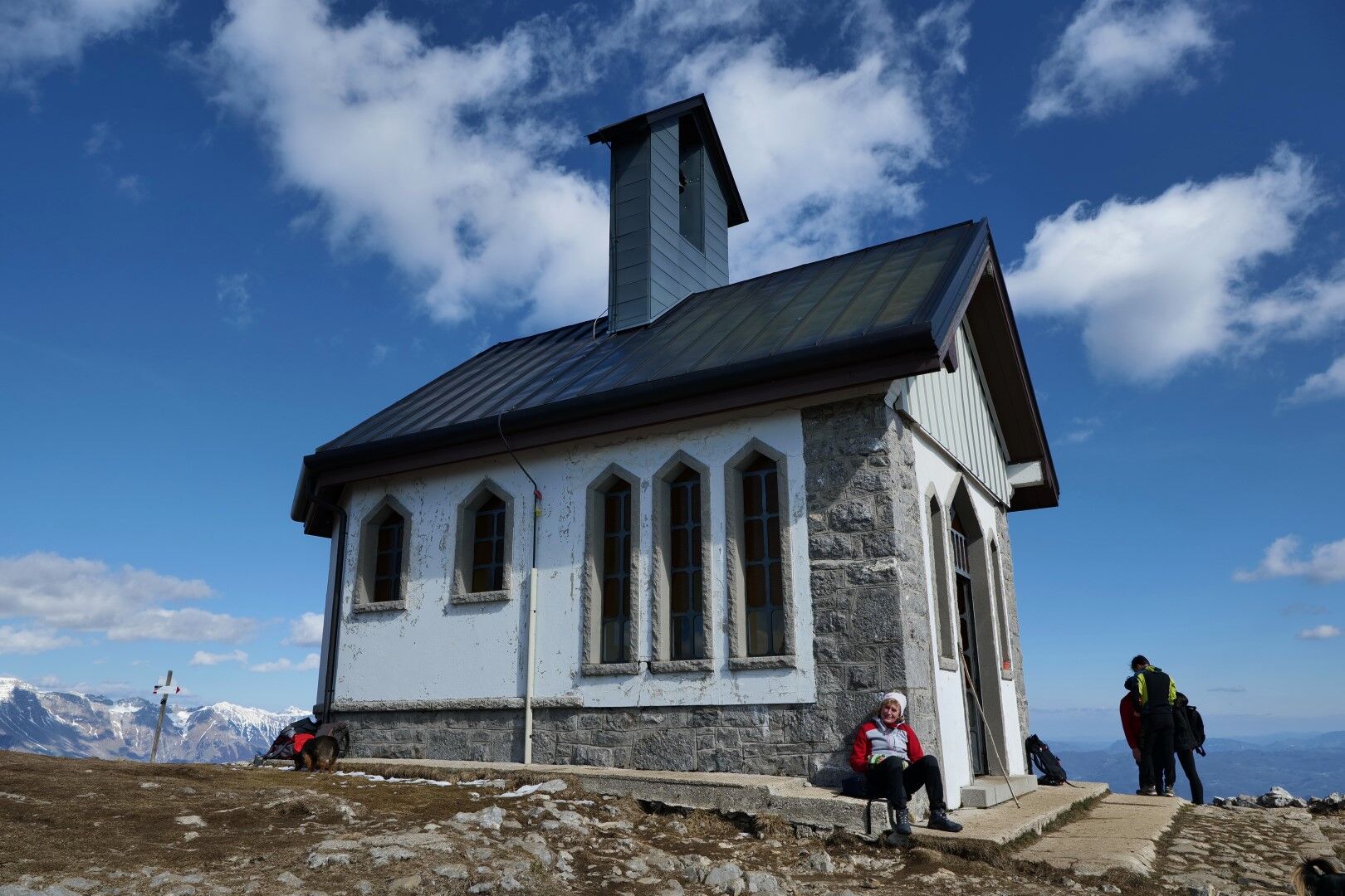

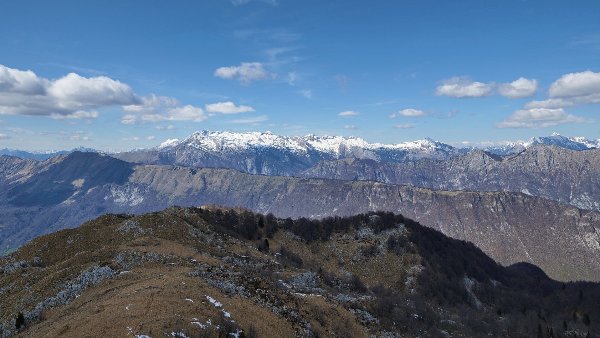
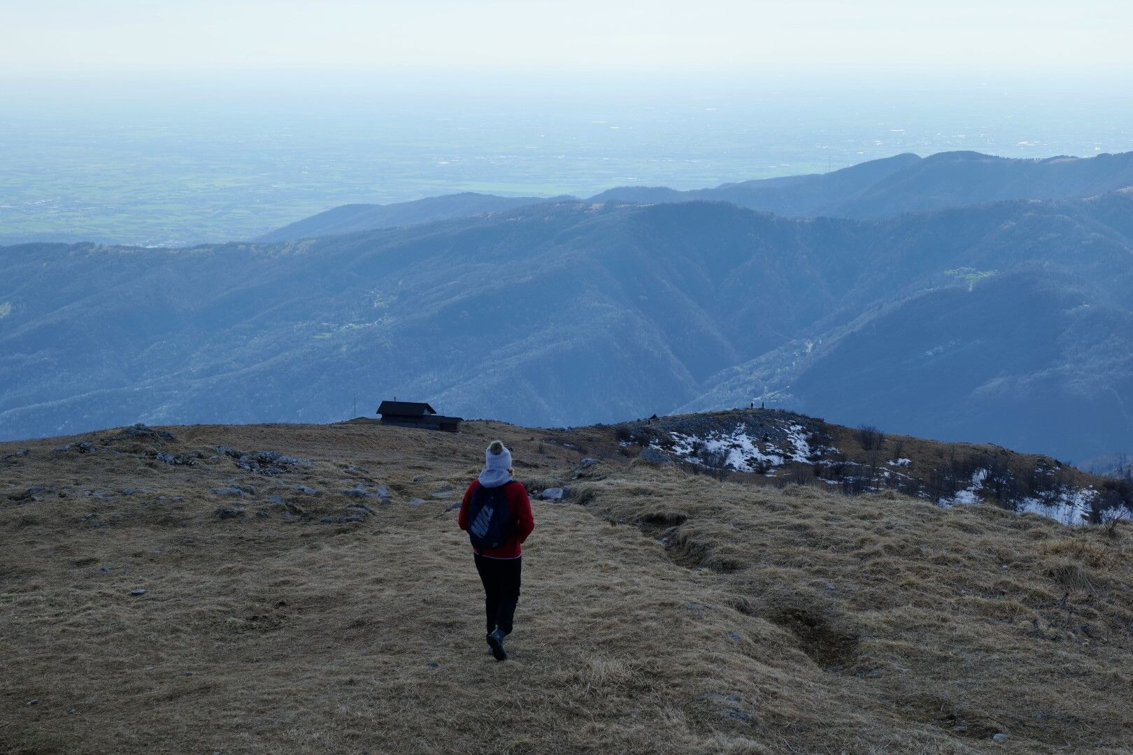

We park the car by the road and walk to the Church of St. Lovronac. There we look for trail CAI 725.
After a short climb, the trail touches the road and then branches off to the left uphill again. The path is well maintained and easy to follow. It steadily ascends along the southern side of the main ridge leading to the top of Matajur.
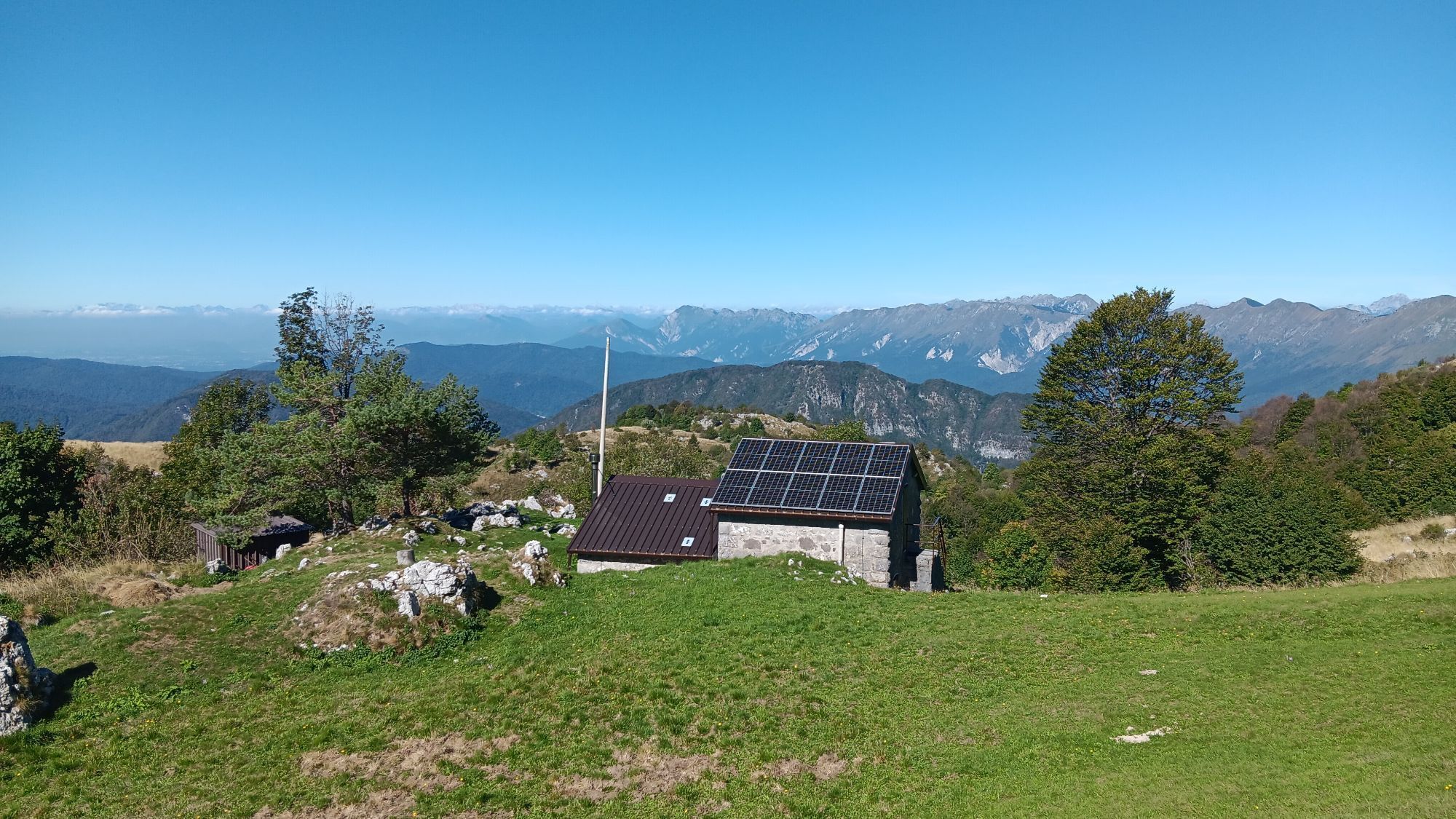
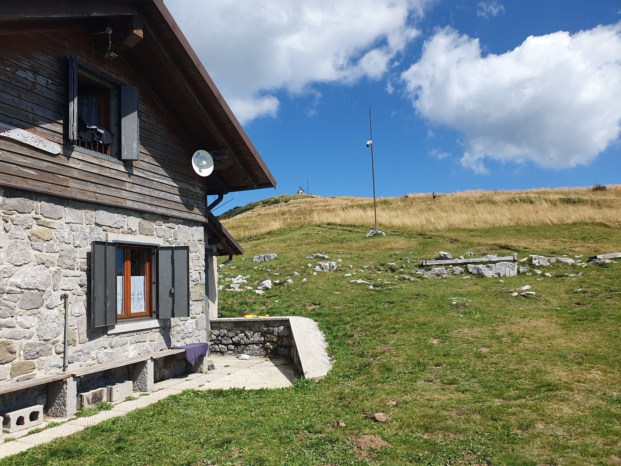
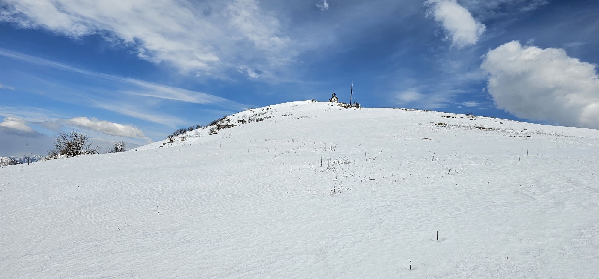
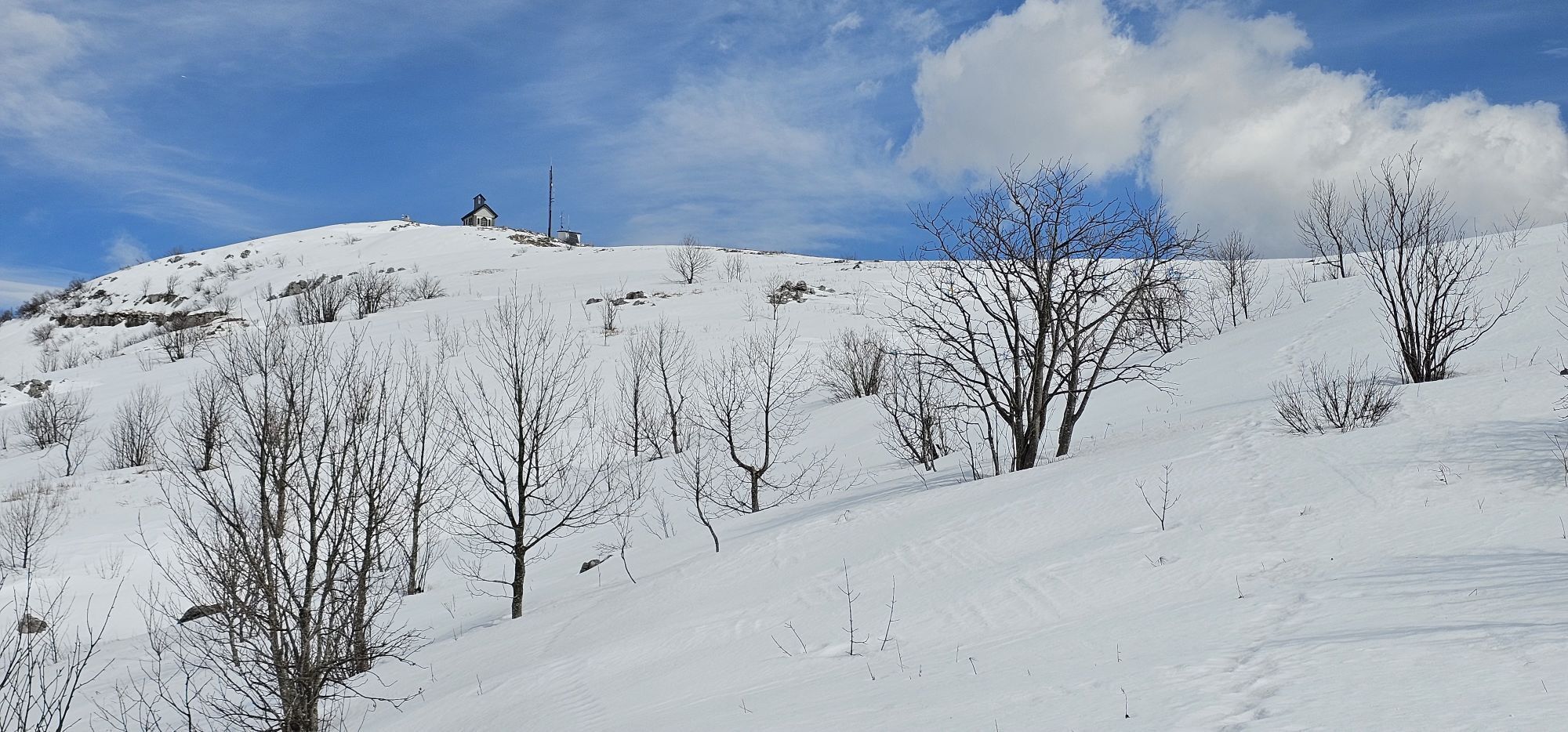
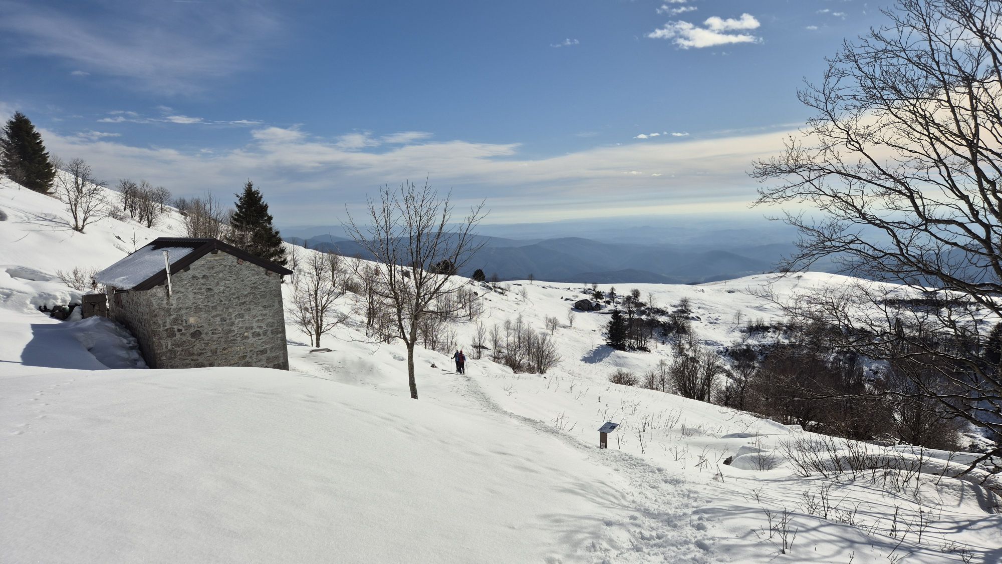
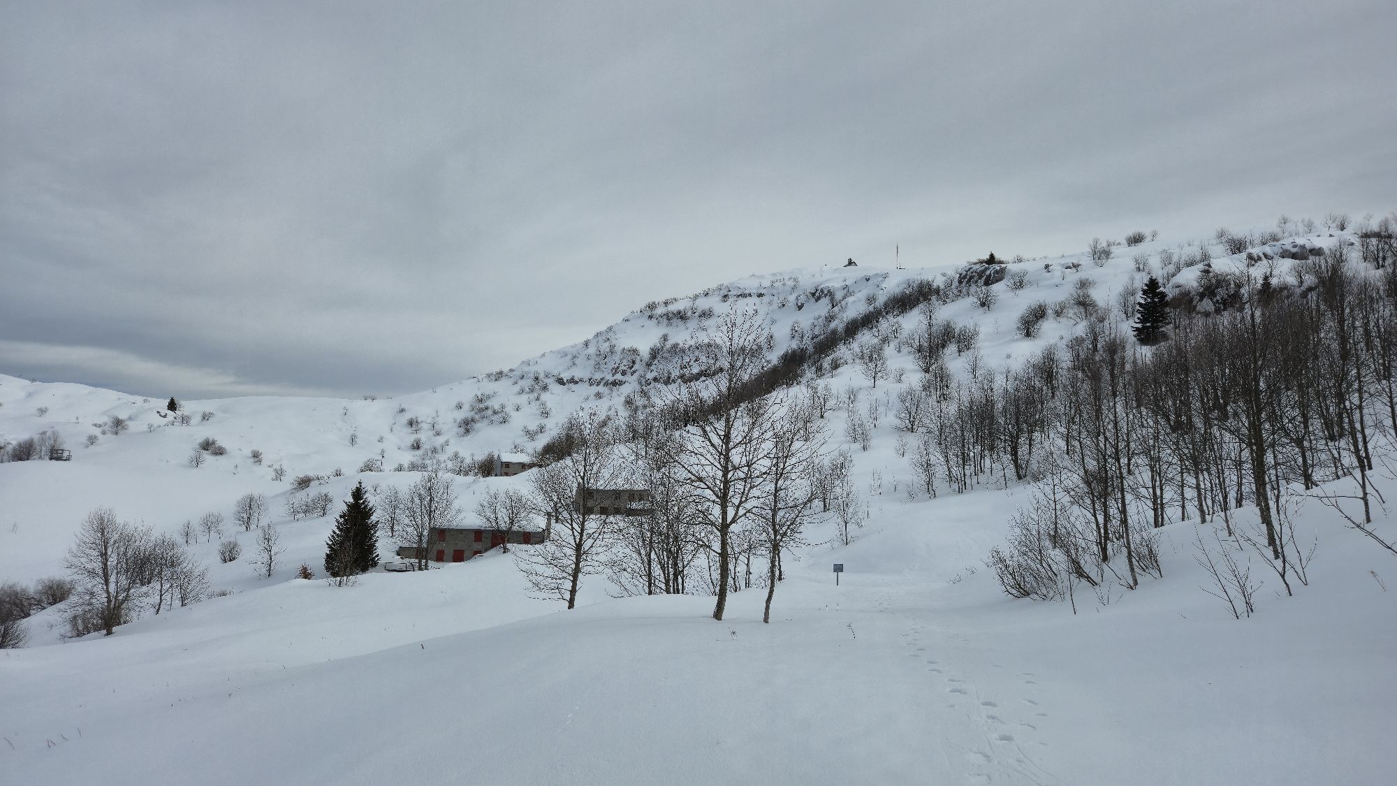
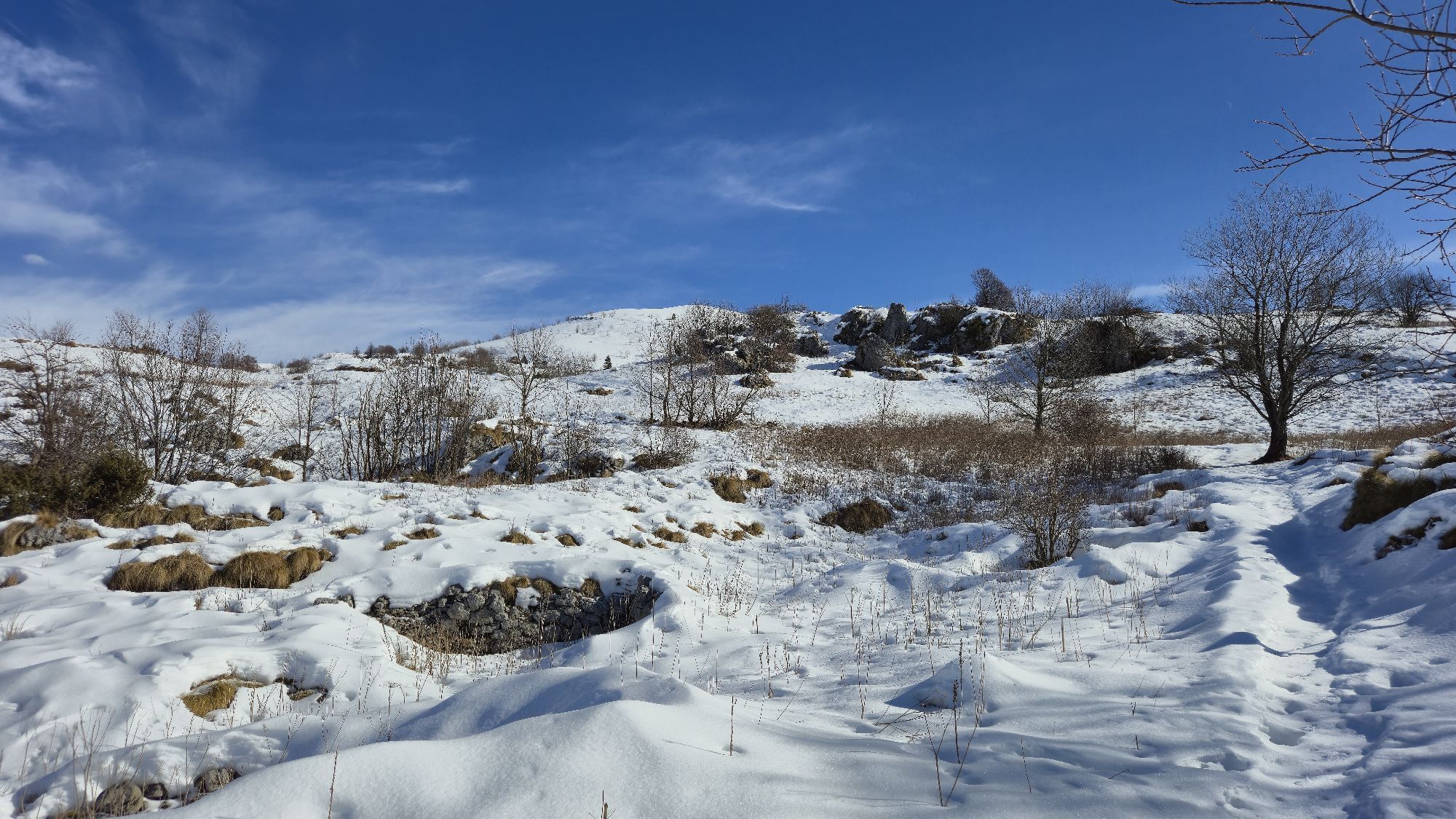
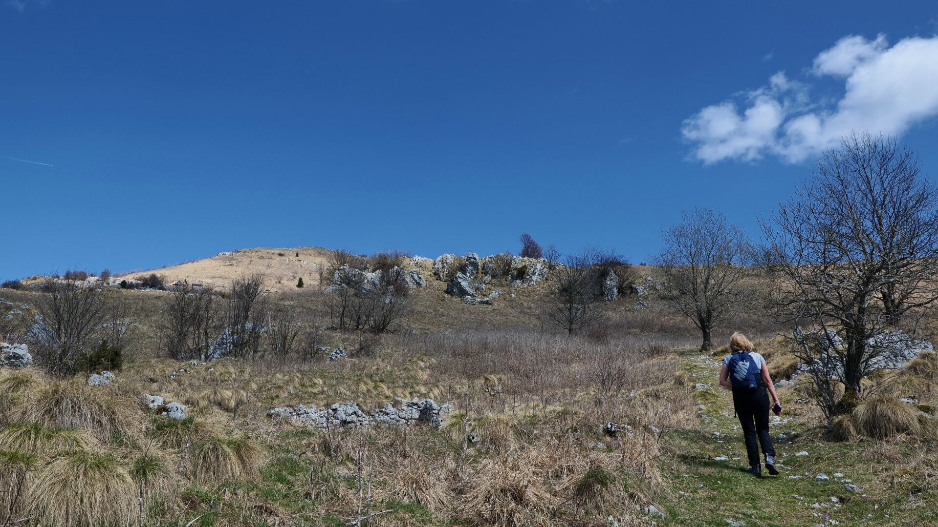
At the forest edge, we enter the Marsin mountain pasture. The world flattens and opens up, and the views become increasingly impressive. At the upper edge of the pasture, where the terrain rises again, our path merges with the nature educational trail that circles the top of Matajur. We continue left uphill, past a small lake and the last huts to the saddle under the northern ridge.
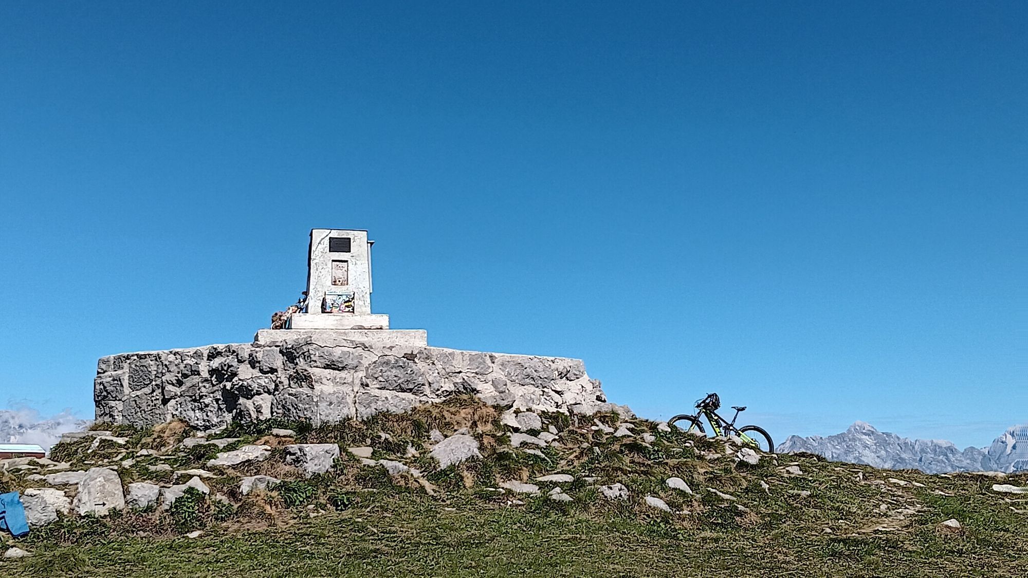
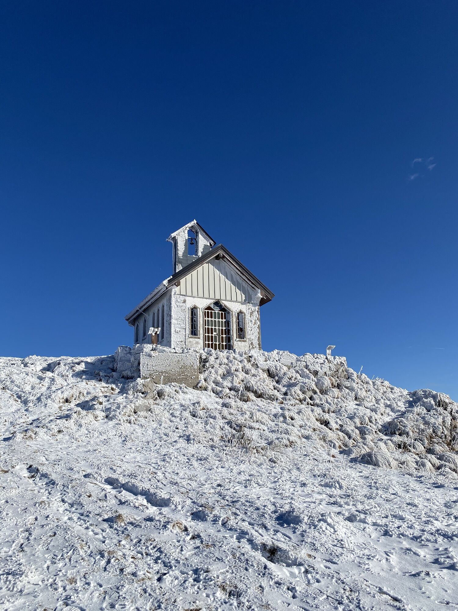
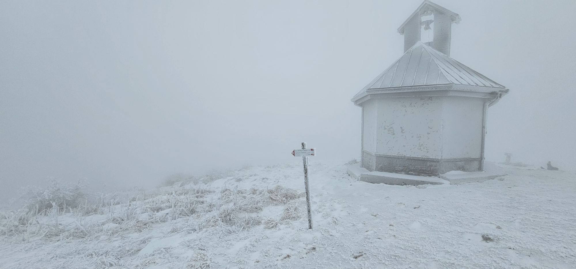
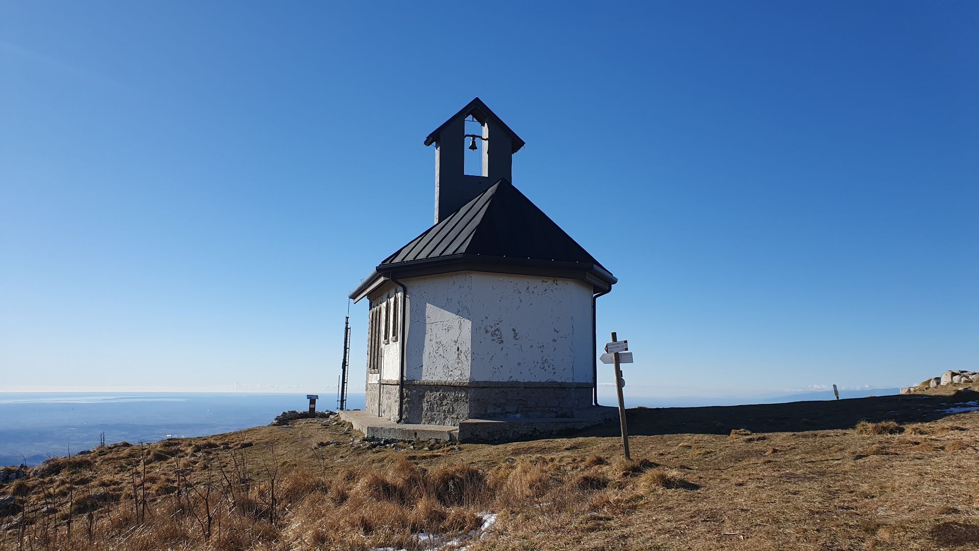
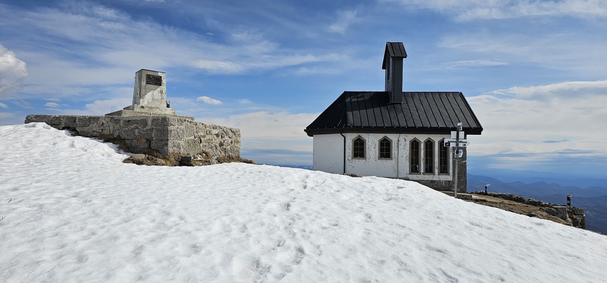
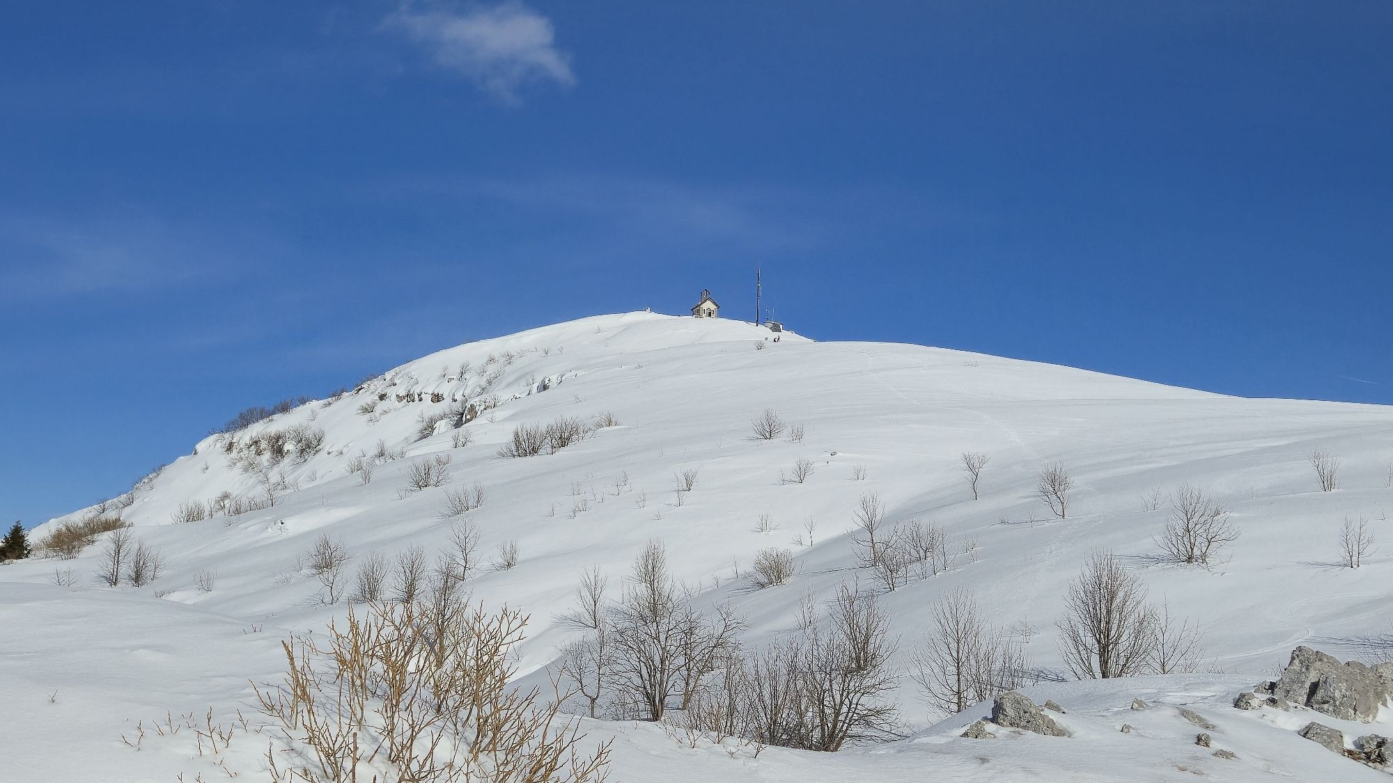
After a short, overgrown northern ridge, we climb up to the chapel on the summit of Matajur.
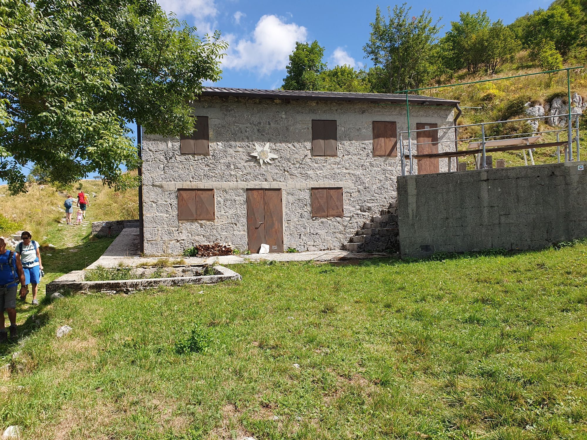
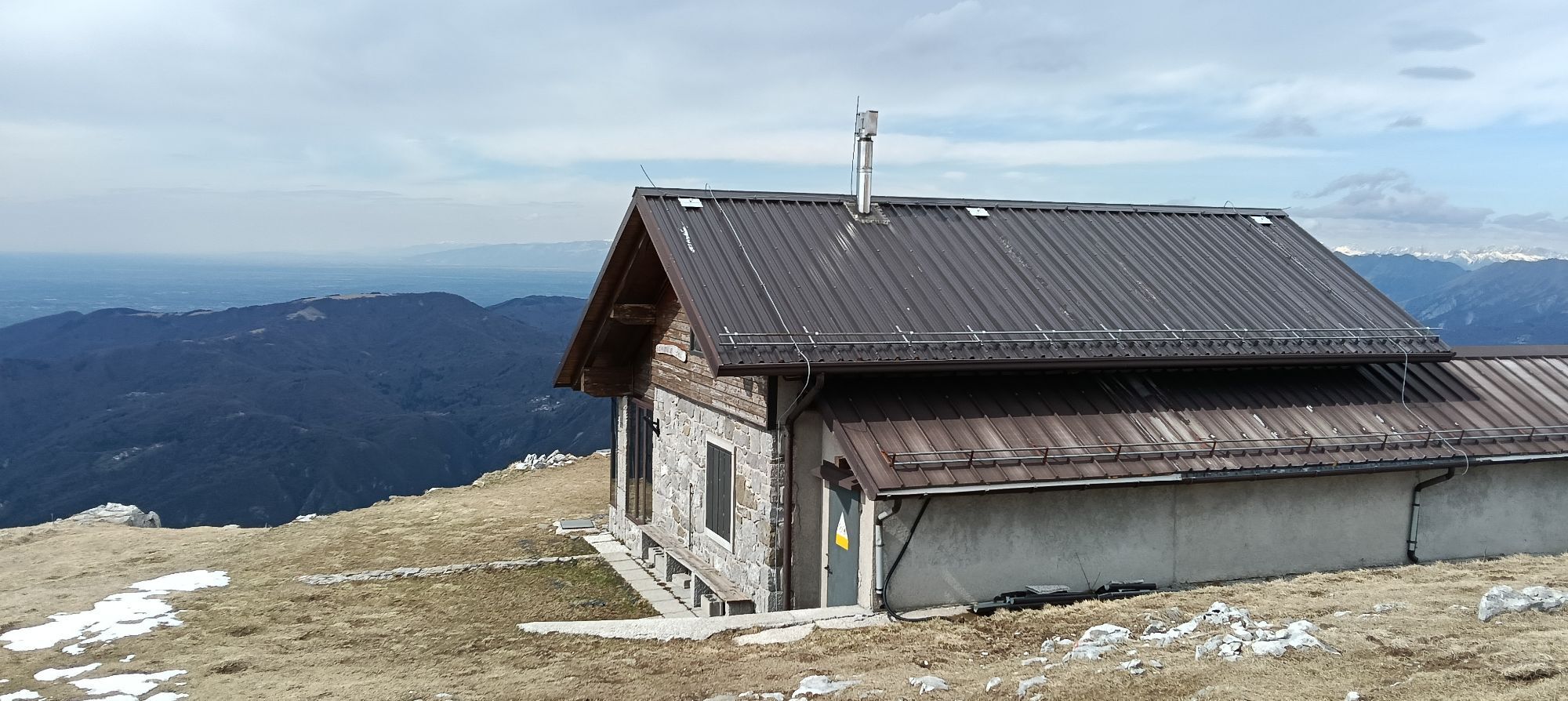
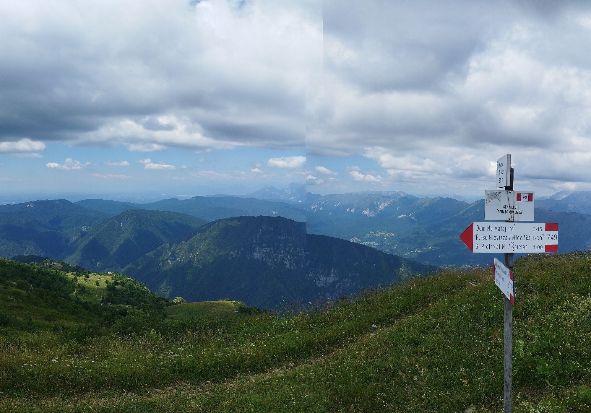
From the top, we descend along path 749 past the house of the Venetian mountaineers Dom na Matajure. Shortly below the house, at the upper edge of the Marsin pasture, we return to path 725, which we came up on, and descend along it back to the starting point.
Ano
Ano
Ano
Standard equipment for mountain ascents: quality hiking shoes, long pants, three layers of clothing including a windbreaker; backpack, at least one liter of drink per person, sun protection, first aid.
The trail is moderate and safe for normally prepared hikers. Still, we must not forget that Matajur is already a high mountain, so we should only undertake the hike in reliable weather conditions.
We leave the road from Cividale to Kobarid (54) in the village of Log and immediately after the village continue through Lower and Upper Marsin. Above Upper Marsin, past the hamlet of Jerebi, we continue to the first hairpin where the path to the Church of St. Lovronac branches off.
There is no public transport.
We park just at the bend, at the trail junction to the church. Traffic further on the road is officially prohibited (stop sign).
The path from Marsin is also suitable for active families.
The ascent to Matajur from Marsin is just moderately easy and just challenging enough that you can enjoy it as early as April as a warm-up and introduction to the mountain season.




Oblíbené prohlídky v okolí
- 4.6
Kozjak Wasserfall und Soča
světloTuristika 5.18 km - 3.4
Auf den Krn
středníTuristika 5.90 km - 4.0
Boka Wasserfall
středníTuristika 1.94 km - 4.7
Kobarid - Stari grad - Restaurant Kamp Lazar - Veliki Kozjak
středníTuristika 8.98 km - 4.5
Entlang der Soca
světloTuristika 8.09 km - 4.6
Krnska jezera
středníProcházka 12.4 km - 3.2
Slap Kozjak (Wasserfall)
světloTuristika 3.40 km - 4.0
Matajur
středníMountainbike 24.8 km - 4.0
JULIANA TRAIL: stage 13 Kobarid – Bovec
středníTuristika 23.1 km - 4.3
Stol Nord
středníMountainbike 37 km
Pěší turistika a stopování


Nenechte si ujít nabídky a inspiraci pro vaši příští dovolenou
Vaše e-mailová adresa byl přidán do poštovního seznamu.





