




Äitsaari scenic road cycling route
Úroveň obtížnosti: 2
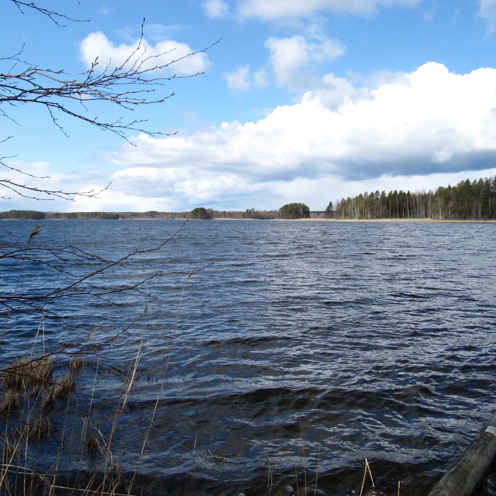
Äitsaari's roads are almost ideal for cyclists. The durable pavement is in good condition and beautiful lake, field, or forest landscapes unfold before the cyclist's eyes. There is reasonably little other...
Äitsaari's roads are almost ideal for cyclists. The durable pavement is in good condition and beautiful lake, field, or forest landscapes unfold before the cyclist's eyes. There is reasonably little other traffic.
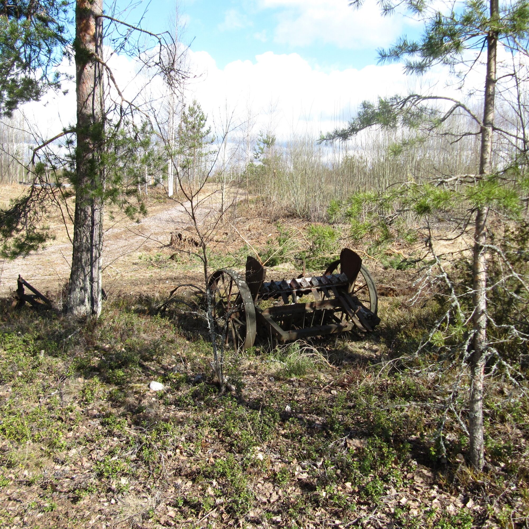
The entire Äitsaari is a prehistoric settlement area, and along the route there is, for example, the Kolmikyötisvuori rock painting. An “experience art road” is also being developed alongside the roads, containing various interesting sights.
In this beautifully rolling rural landscape, Finland's best-known professional cyclist, Jaakko Hänninen, who is originally from Äitsaari, has trained for years. The road is widely known among cycling enthusiasts otherwise as well.
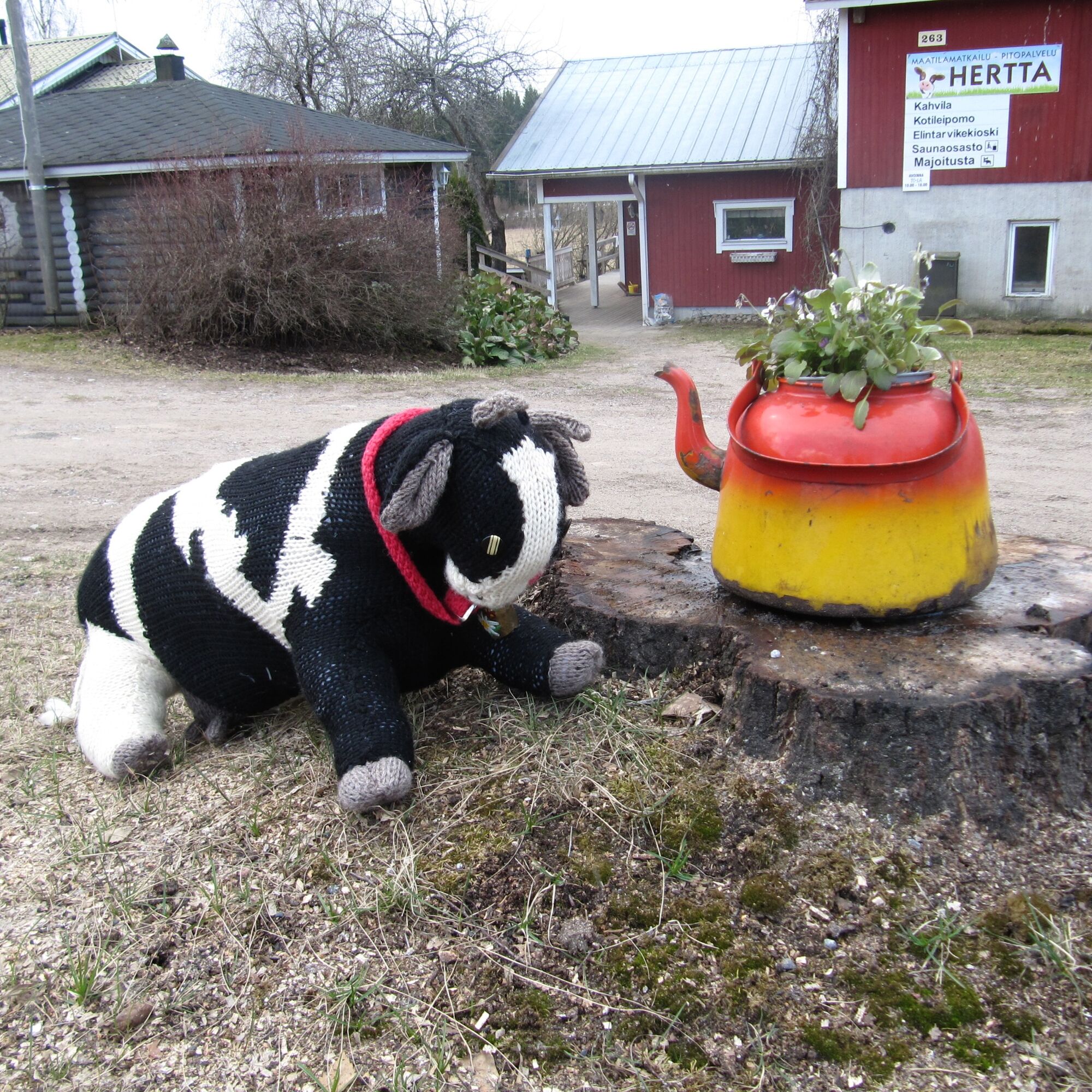
Along the road you will find a couple of cafés, three accommodation places, several small sights, and two lean-tos.
The bicycle ferry between Äitsaari and Utula runs all summer between Utula jetty and Karoniemi jetty. Reservations for transport should always be made in advance with Utulan Lautturi.

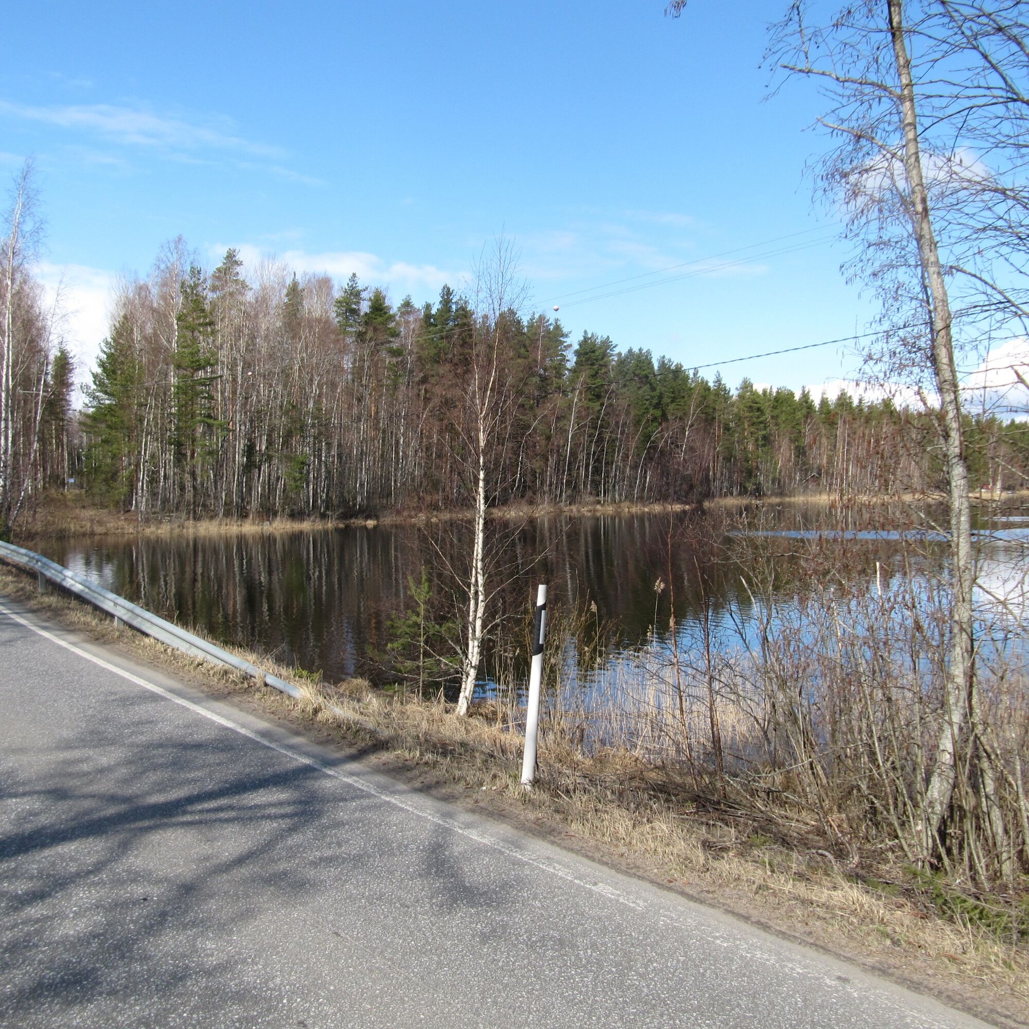

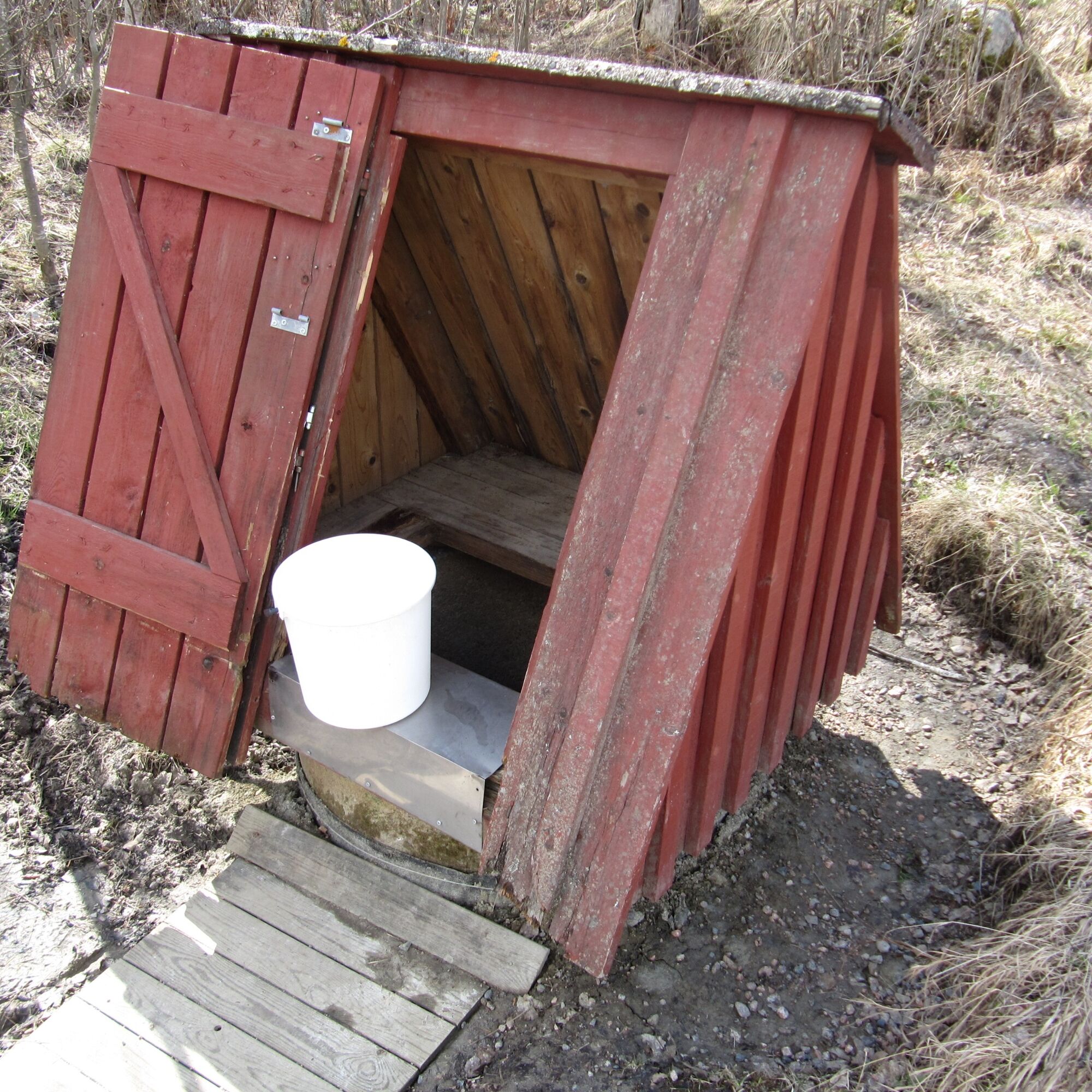
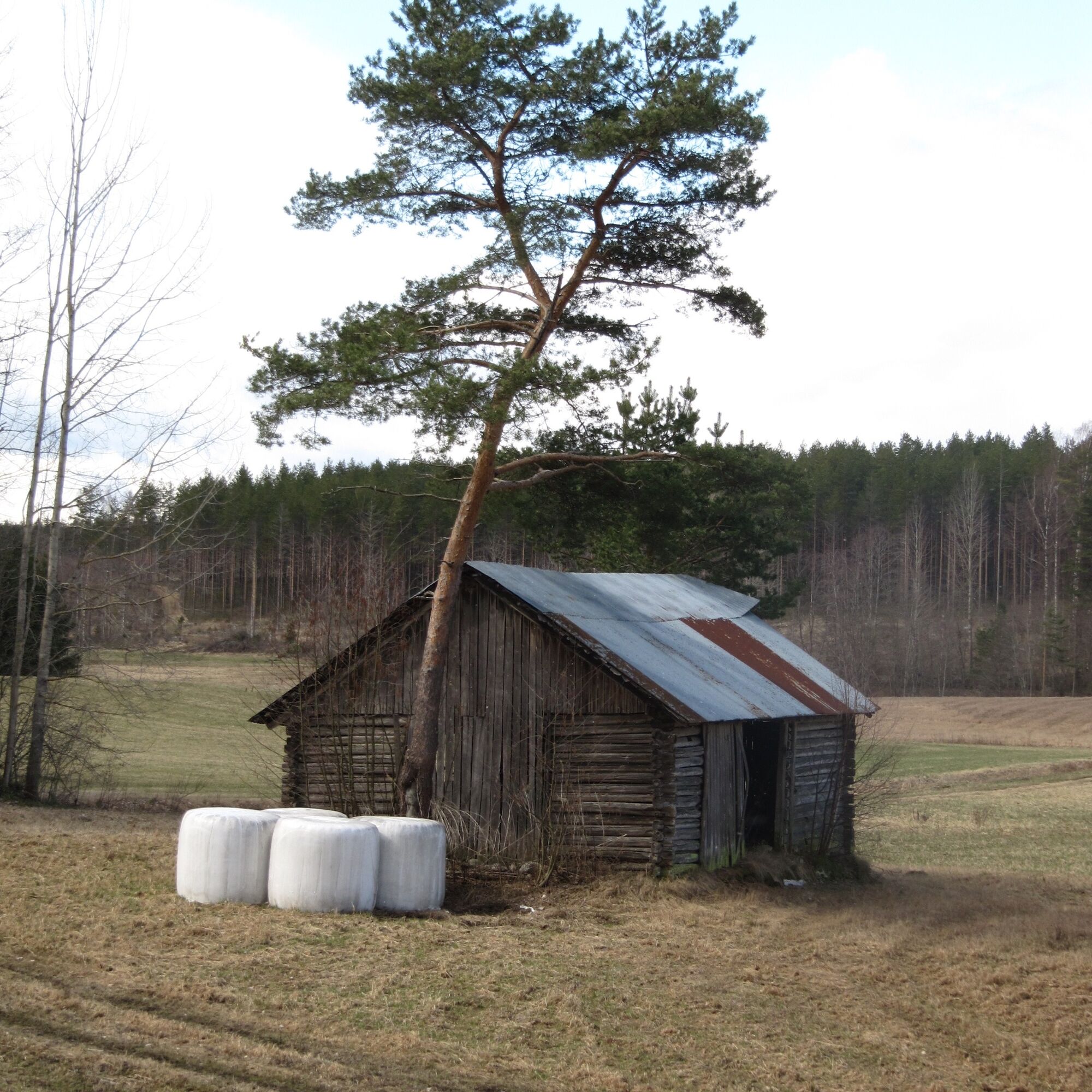
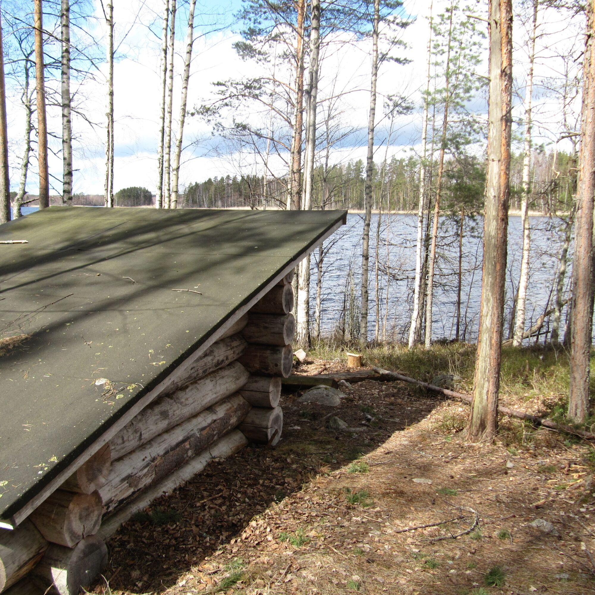
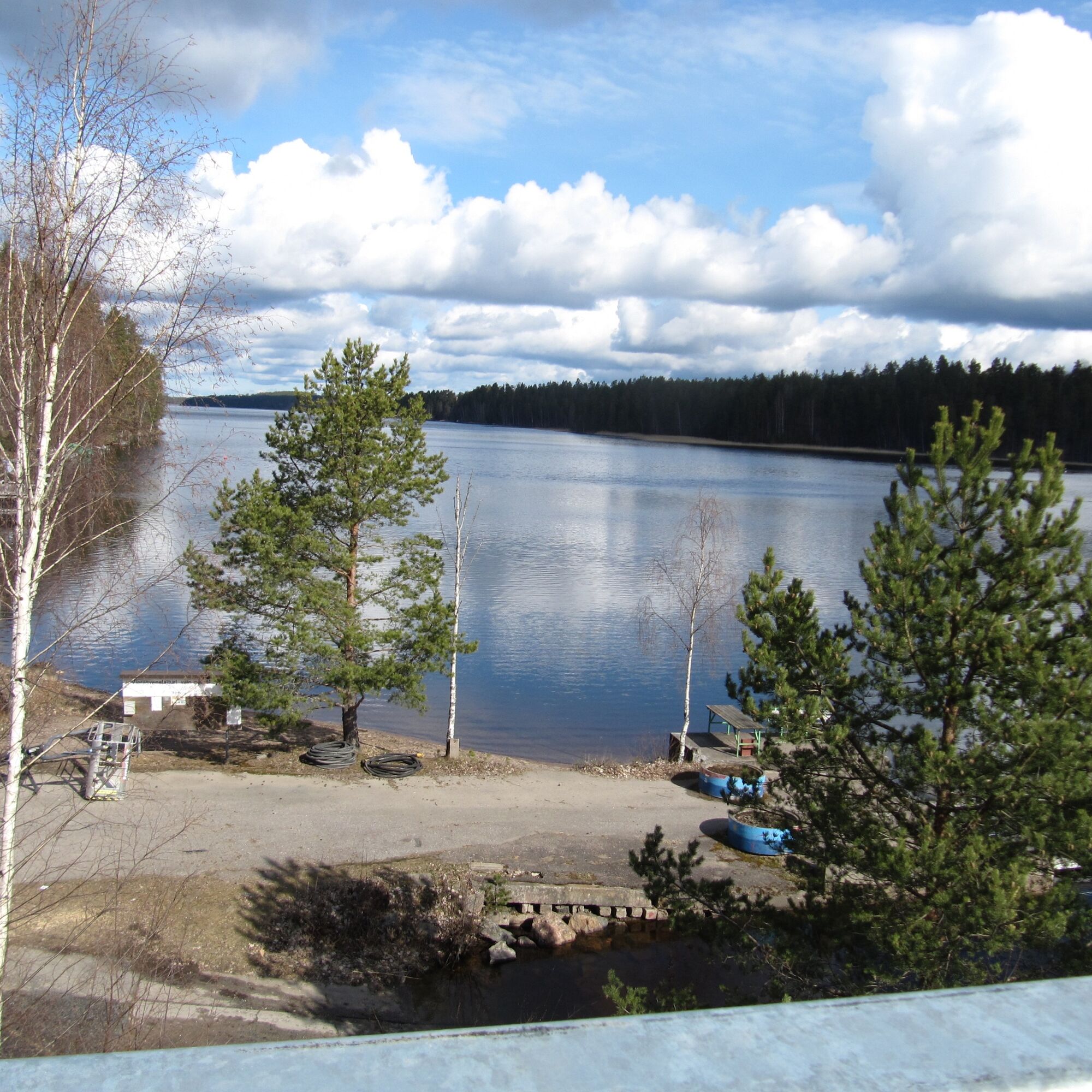

Continue south from the location Ukonsalmentie/Route 4062 towards: Kappelitie 1.2 km. Turn right 1.0 km.
Turn right: Salosaarentie 8.3 km. Continue: Äitsaarentie 9.2 km.
Turn left: Karoniementie 6.9 km. Turn left to stay on the road Karoniementie 59 m.
Continue gently right: sign Myllyniemi 250 m Turn right, path 100 m and you reach the Karoniemi jetty.
Boat trip 1.4 km to Utula jetty.
Continue west from the location Metelniementie towards: Utulantie 950 m. Turn right: Utulantie.
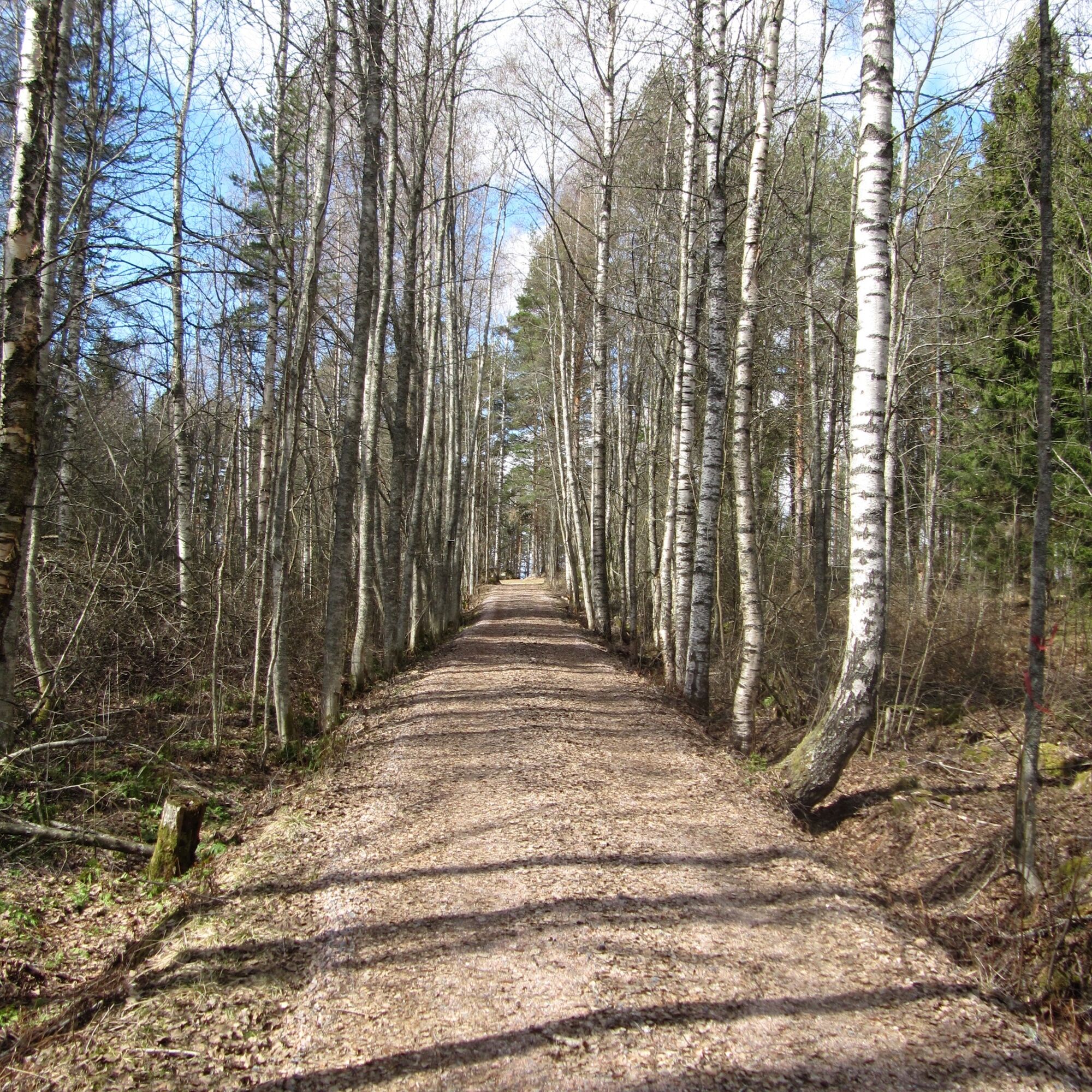
The surface of Äitsaari roads is in good condition. On gravel road sections, riding a road bike depends on the current road maintenance.
Route surface material: asphalt and gravel road. The route has about 7 km of gravel road sections. The condition of the gravel road can vary during the season due to road maintenance or weather effects. As a rule, the gravel road section is in good condition. The road shoulders are narrow in places and the road is winding, so be attentive!
Before the trip, it is good to check the weather forecasts.
In an emergency, call 112. State your location, explain what has happened, and listen to the instructions.
The route is marked with blue cycling route signs featuring the Äitsaari route logo.
From the center of Ruokolahti, Rasila, it is less than a kilometer to Ruokolahti Church.
Saimaan Turistiliikenne Oy runs once a day on weekdays from Imatra to Ruokolahti. Transporting bicycles on the bus should be confirmed with the operator.
There is a parking area near Ruokolahti Church.
2
The route can be ridden equally well in both directions.
Oblíbené prohlídky v okolí
-
Vuoksi nature and cultural route, Imatra
světloTematická stezka 8.38 km -
Imatra architecture and sightseeing route by bike
světloJízda na kole 38.9 km -
Vuoksi cycling route in Imatra
světloJízda na kole 11.9 km -
The geological trail of Imatra Lammassaari island
světloTematická stezka 3.38 km -
Imatra winter trail
středníMountainbike 20.2 km -
Vuoksenniska forest trail, Imatra
středníTematická stezka 2.75 km -
Ukonniemen maastopyöräilyreitti, Imatra
světloMountainbike 4.86 km -
Mustalammen maastopyöräreitti, Imatra
středníMountainbike 8.83 km -
A geological guide to southern Lake Saimaa
středníTematická stezka 117.1 km -
Lammassaari nature trail, Imatra
heavyTematická stezka 3.76 km
Pěší turistika a stopování


Nenechte si ujít nabídky a inspiraci pro vaši příští dovolenou
Vaše e-mailová adresa byl přidán do poštovního seznamu.





