



Orrainpolku mountain bike trail, Savitaipale

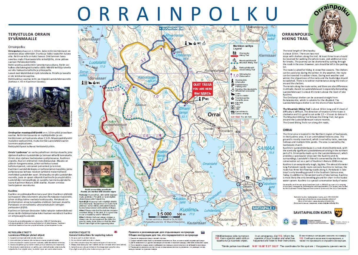
The Orrainpolku mountain bike trail takes advantage of the terrain and runs through the rugged Orrain landscapes. The starting and return point of the route is Onkilampi lean-to shelter.
Route surface...
The Orrainpolku mountain bike trail takes advantage of the terrain and runs through the rugged Orrain landscapes. The starting and return point of the route is Onkilampi lean-to shelter.
Route surface material: gravel road, off-road track.

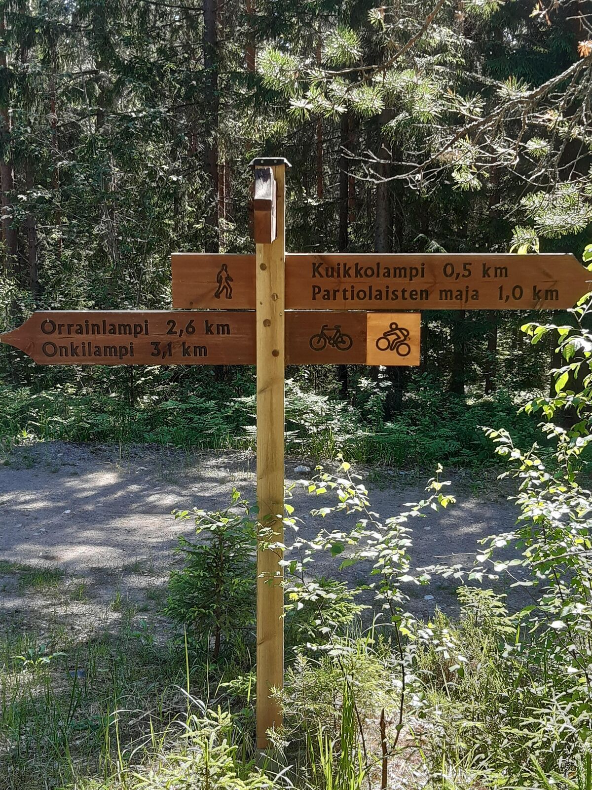
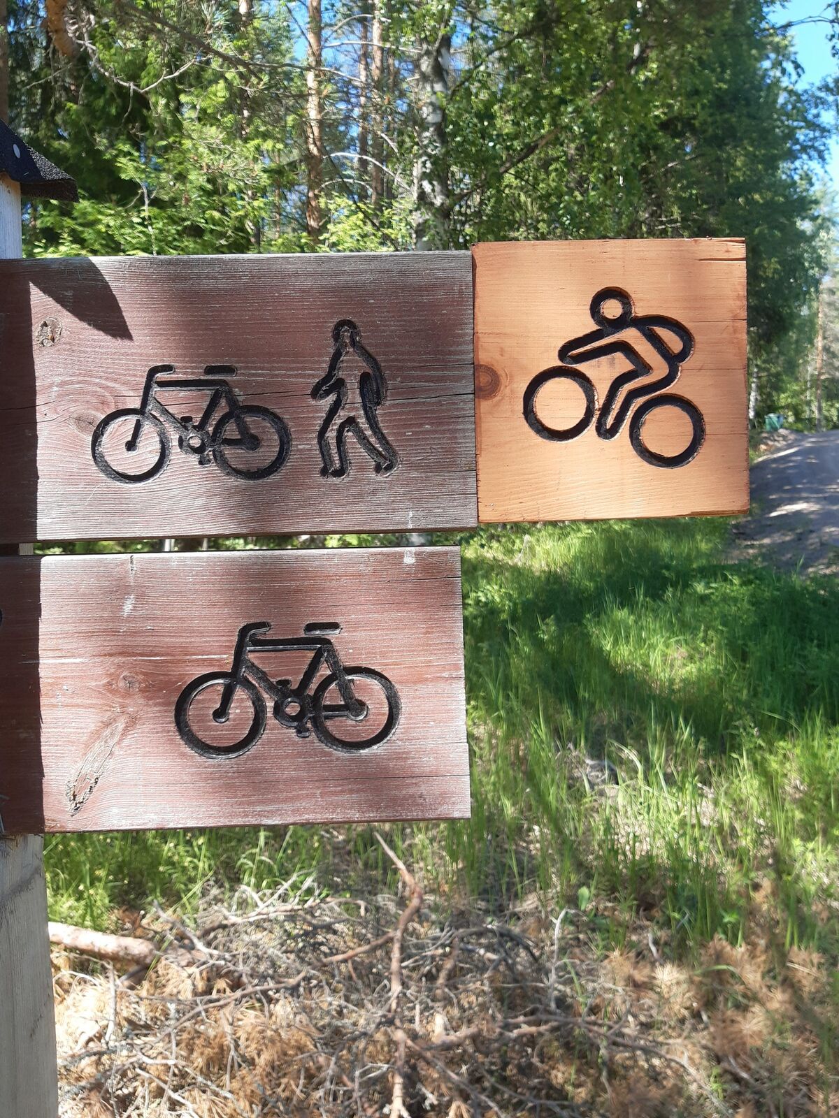

Before the excursion, it is advisable to check the weather forecast. Always wear clothes to suit the weather. It is recommended that you take first aid equipment, rainwear, a spare set of clothes, as well as enough drinks and snacks with you.
In an emergency, dial the number 112. Report your location, what has happened and listen to the instructions.
Oblíbené prohlídky v okolí
-
5.0
Orrainpolku, Savitaipale
heavydálková pěší trasa 7.96 km -
Olkkola outdoor and recreational cycling route, Savitaipale
středníJízda na kole 11.6 km -
Kuolimo Circuit, Savitaipale - Mikkeli
heavyKajak / Kánoe 64.8 km -
Säänjärvi hiking trail, Savitaipale
světloTematická stezka 4.44 km -
Savitaipale route - cycling route
středníJízda na kole 52.1 km -
Kärnäkoski Fortress Route, Savitaipale
světloTematická stezka 1.25 km -
Traces of ice age - people of the Stone Age, geological trail
středníTematická stezka 12.6 km -
Orrain trail recreational cycling route
světloMountainbike 5.67 km -
Mikkeli - Anttola
středníKajak / Kánoe 60.4 km -
Suomenniemi - Härkintupa
středníMountainbike 44.6 km
Pěší turistika a stopování


Nenechte si ujít nabídky a inspiraci pro vaši příští dovolenou
Vaše e-mailová adresa byl přidán do poštovního seznamu.


