


B45 Sonnenland route

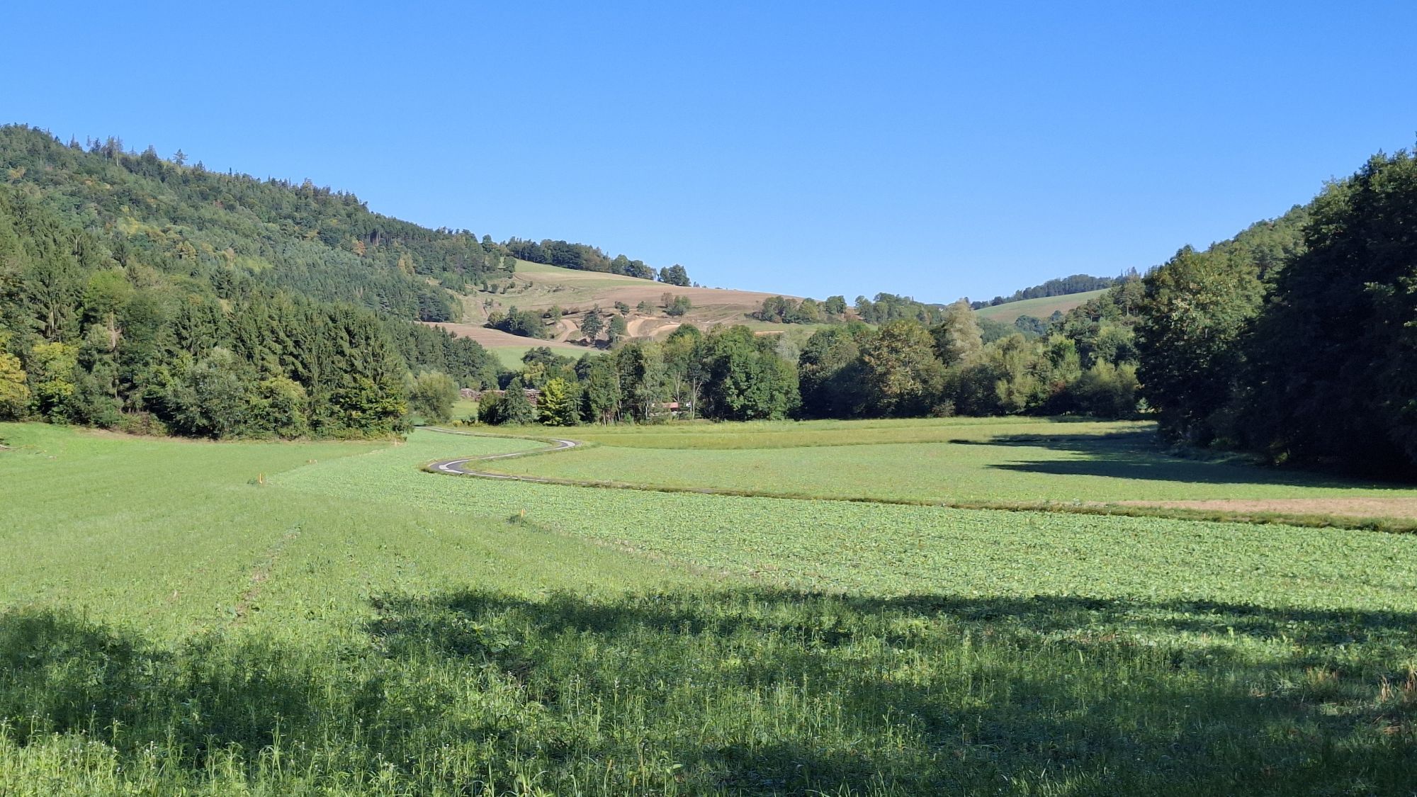

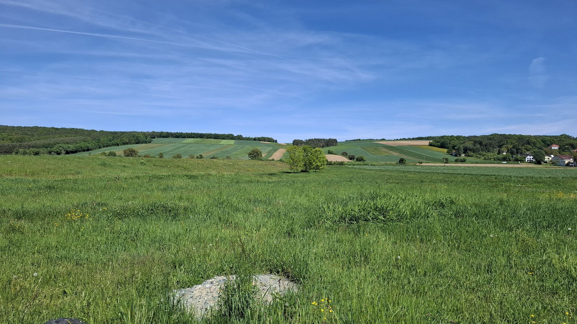

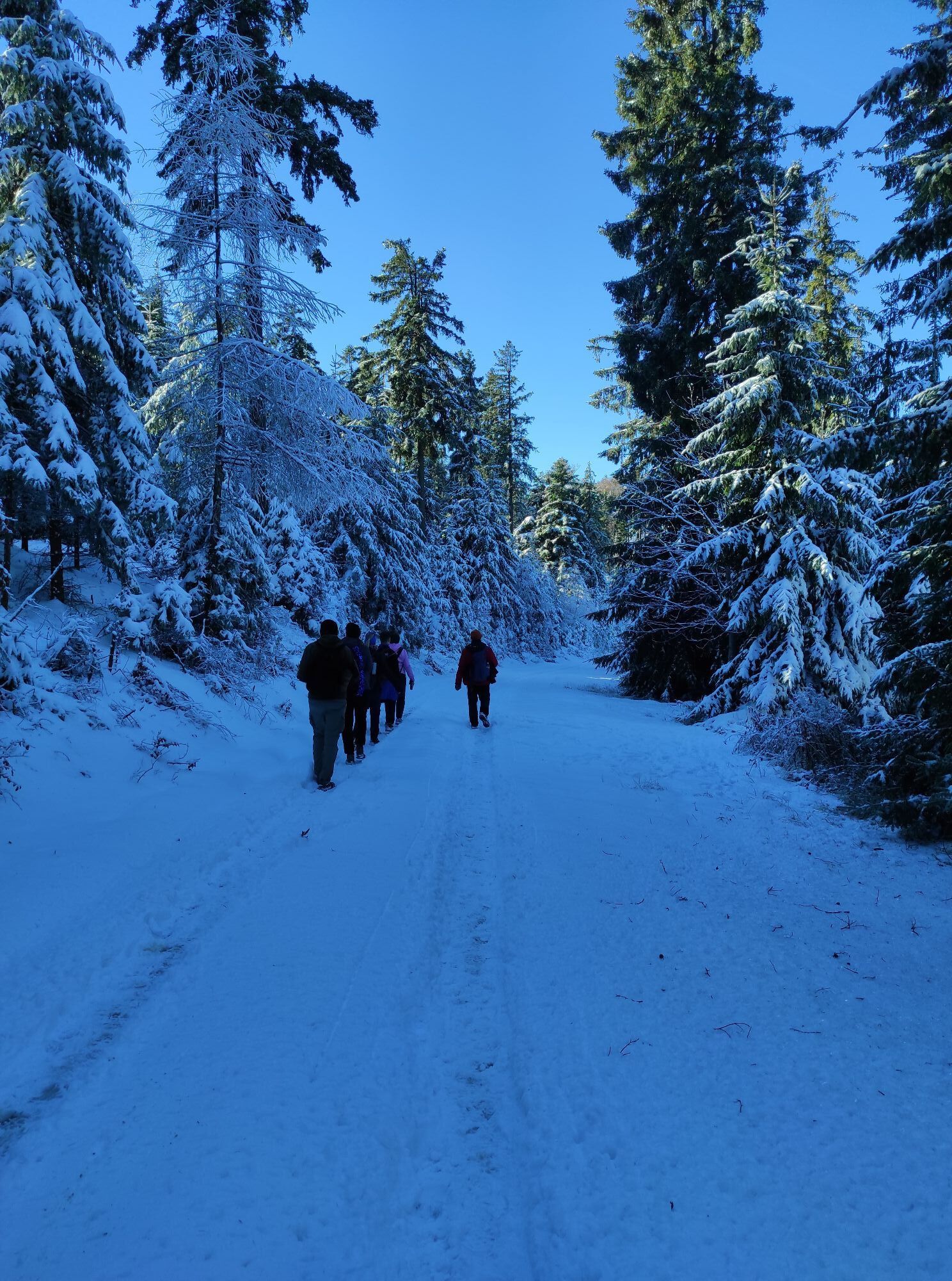

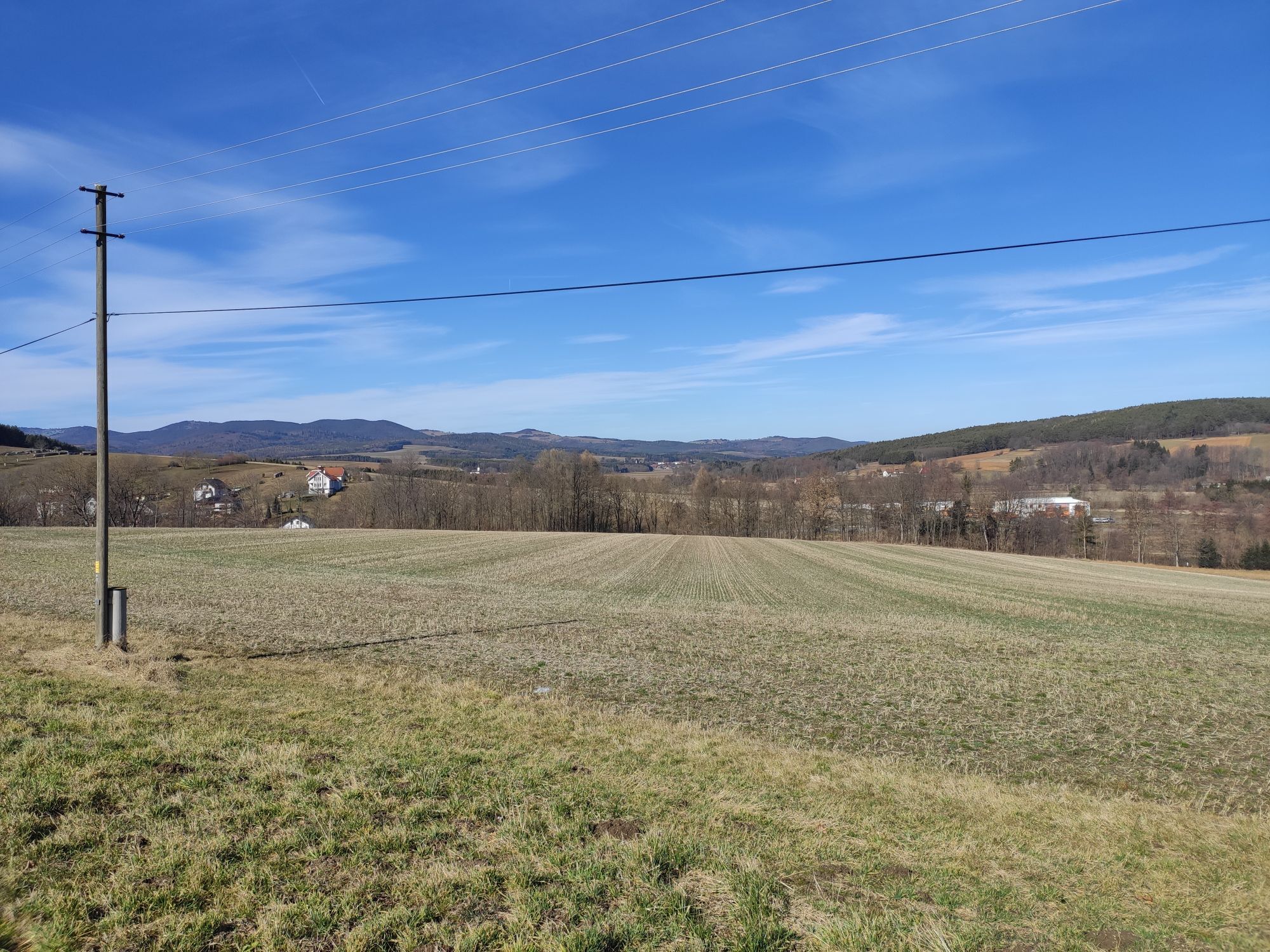
The Sonnenland route is a circular route through Mittelburgenland and can be started from any location and completed in 2 to 4 day stages depending on fitness. On this route, you get to know Blaufränkischland...
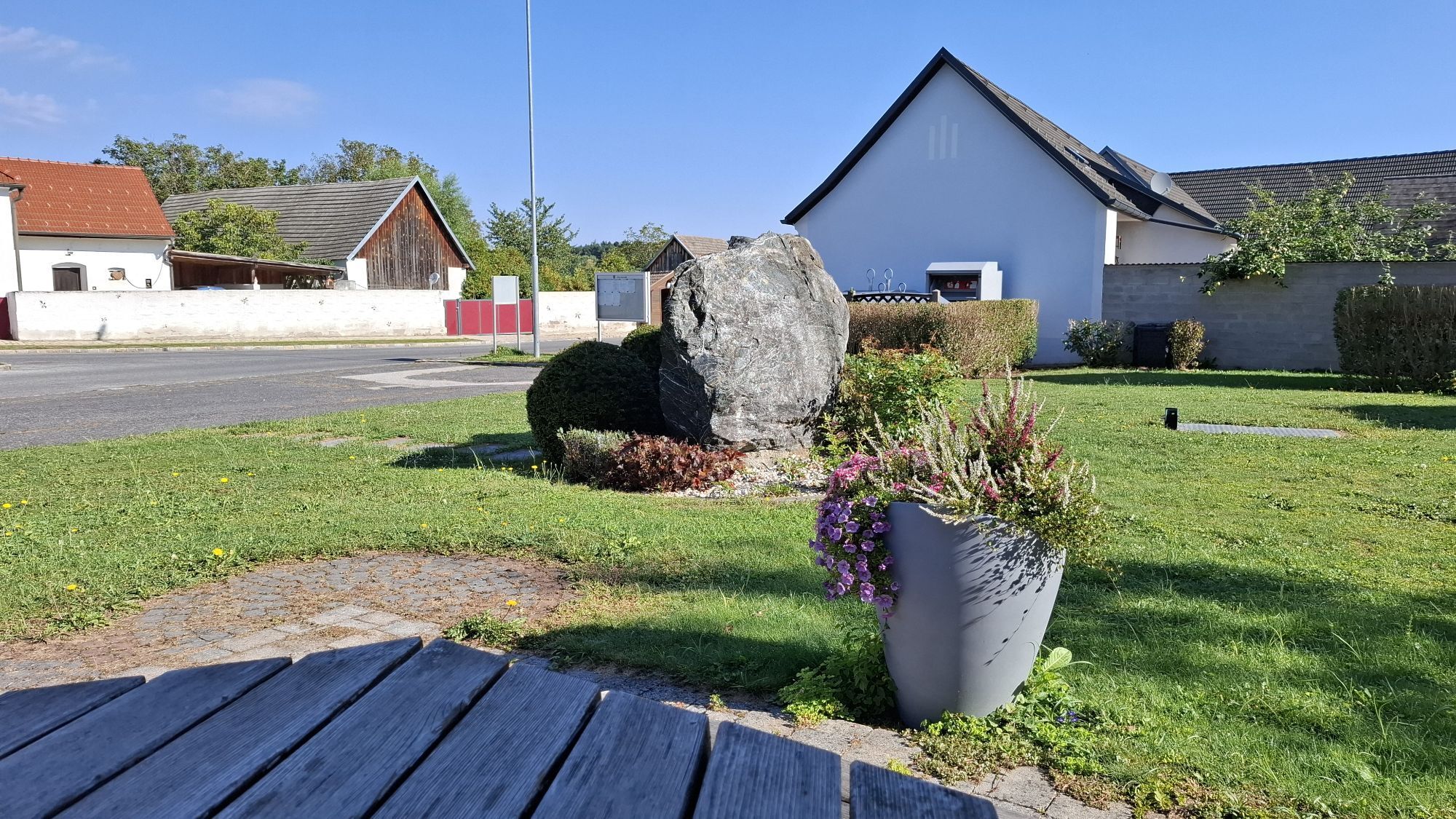
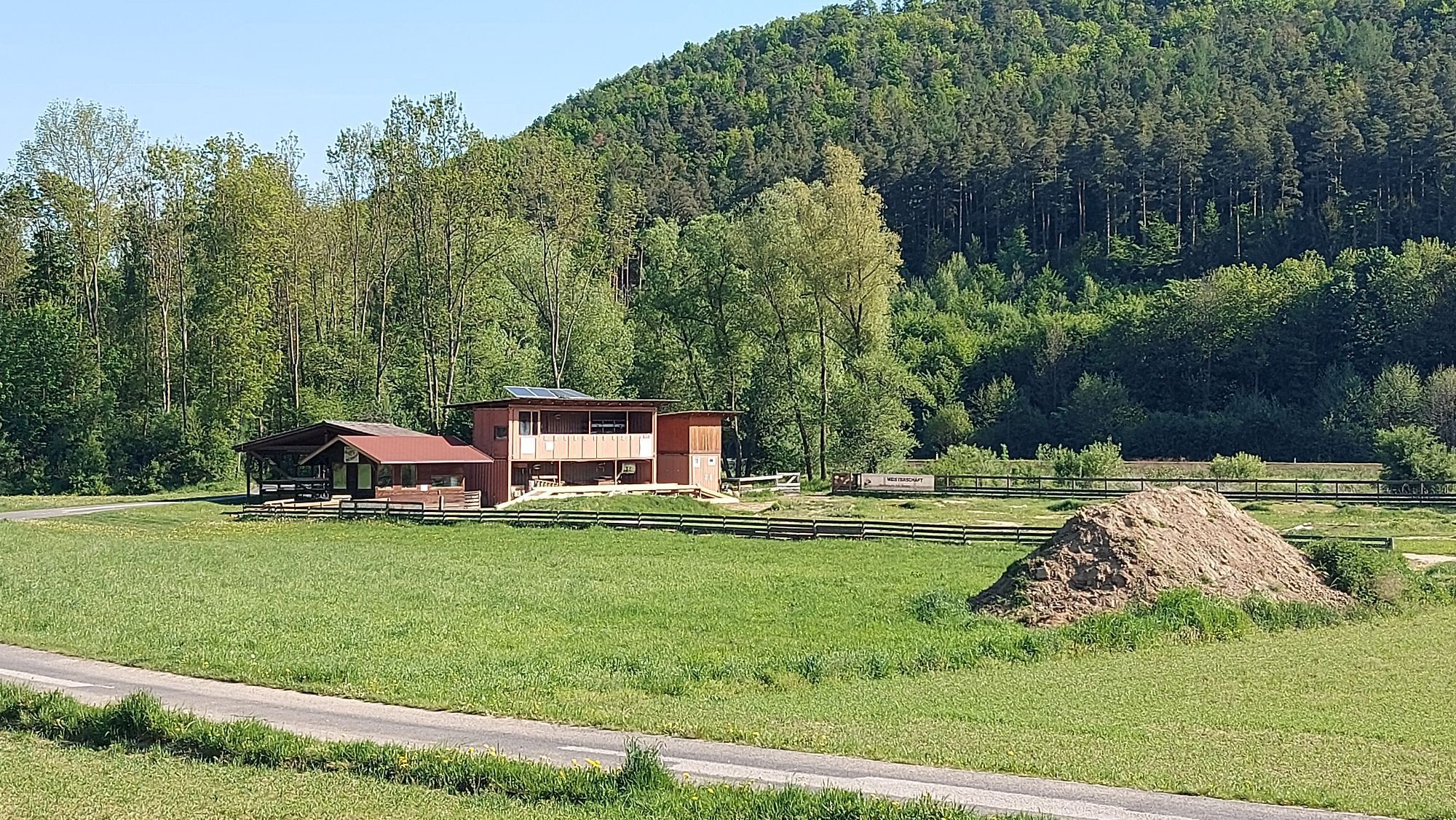
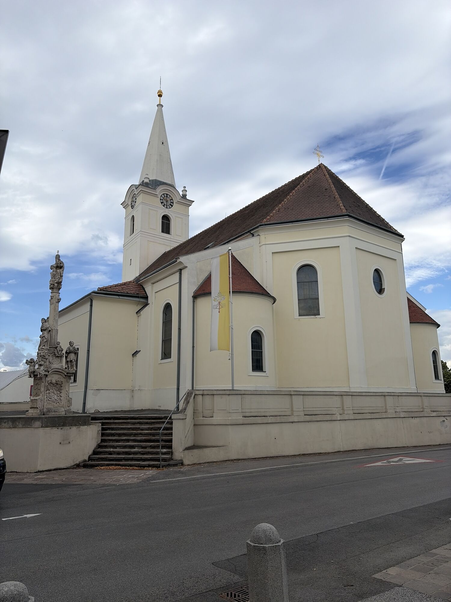
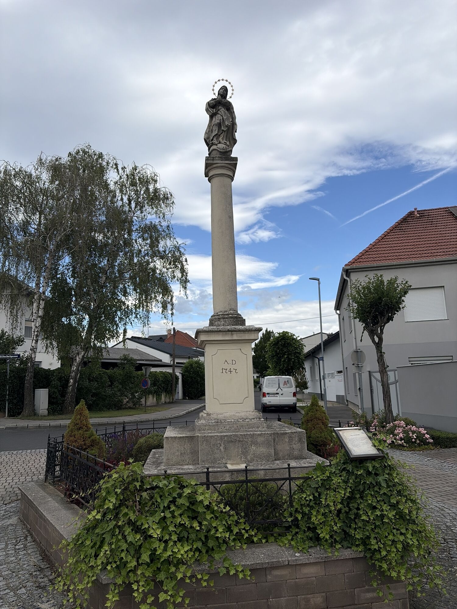
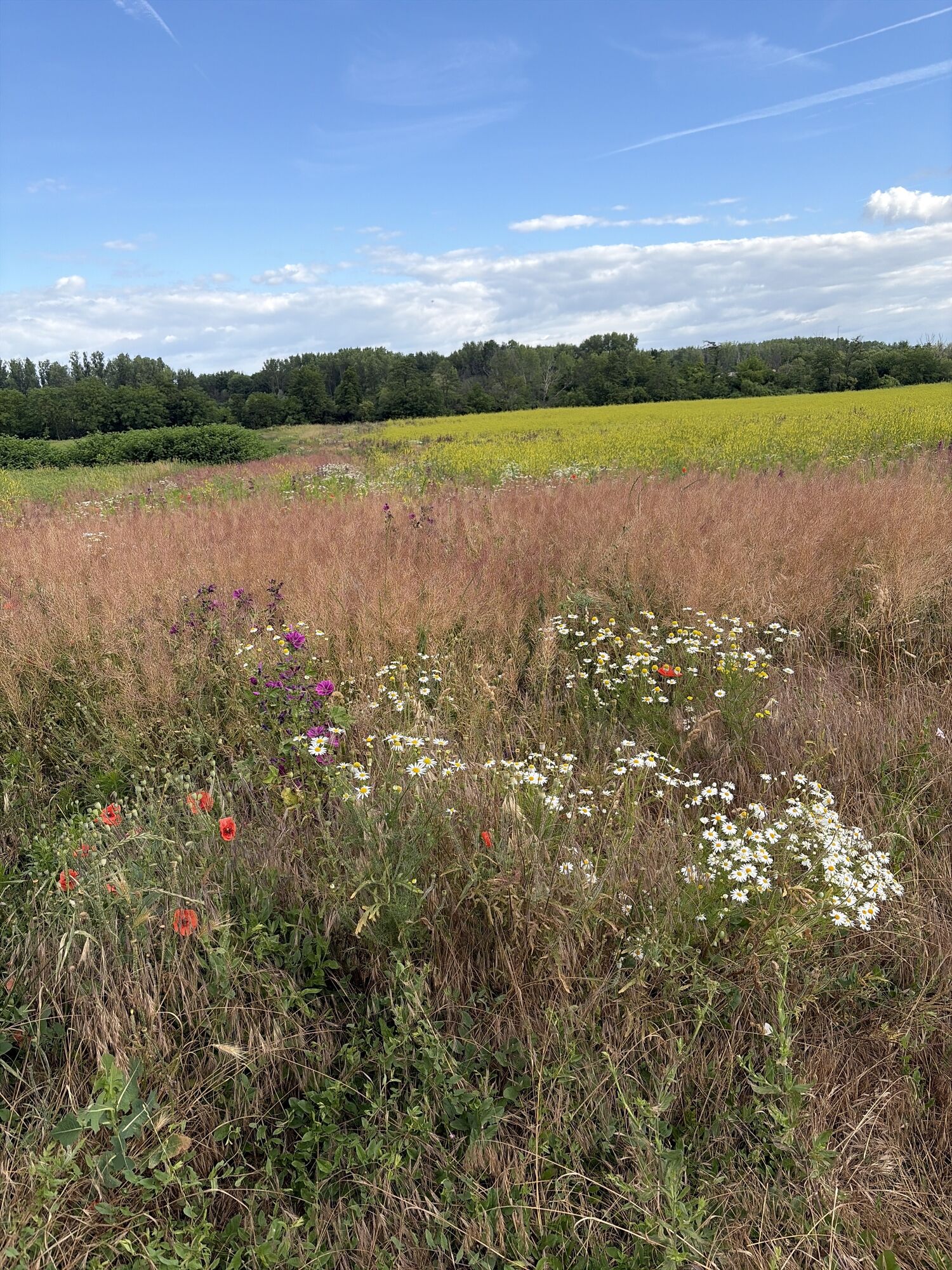
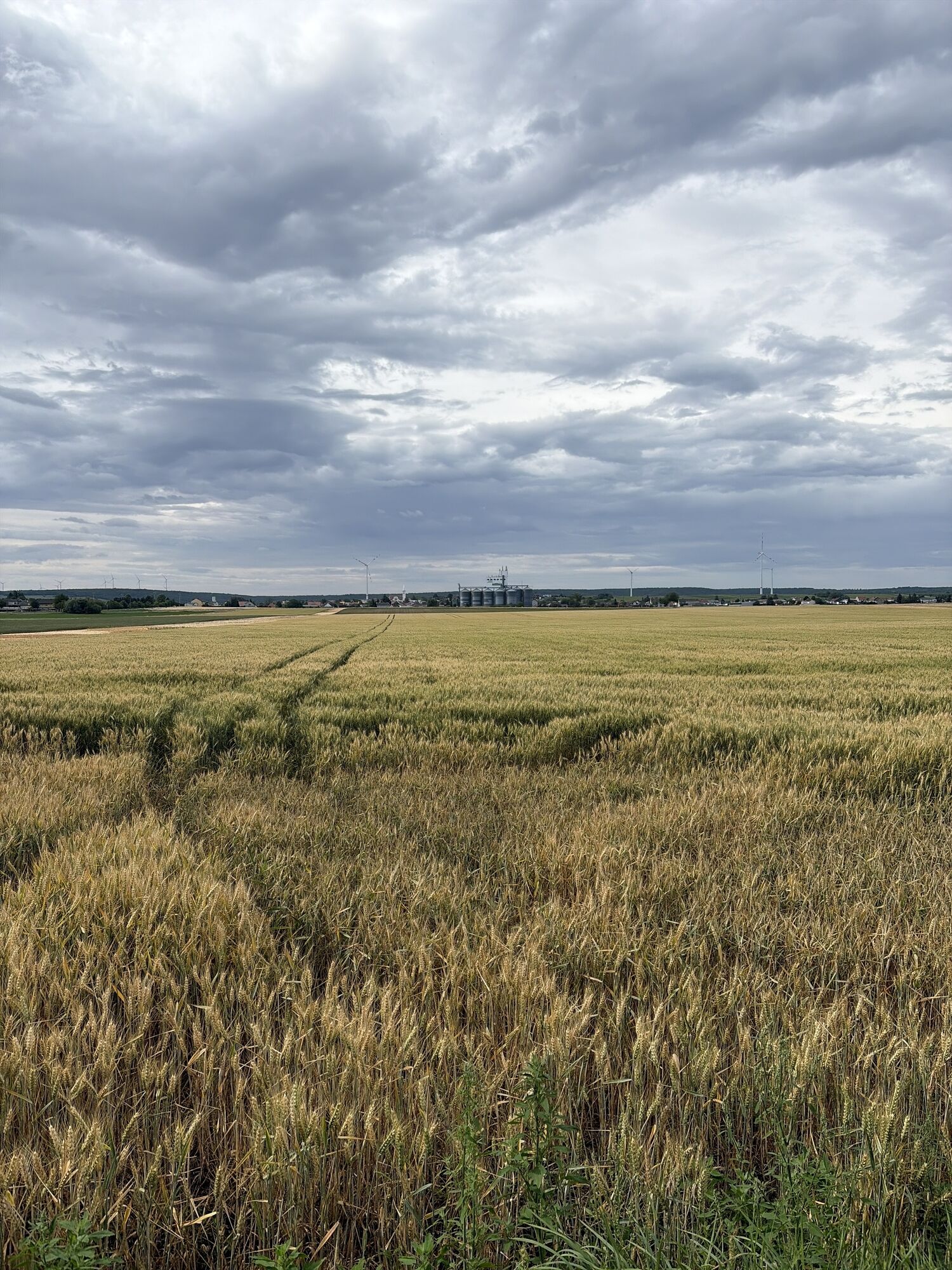
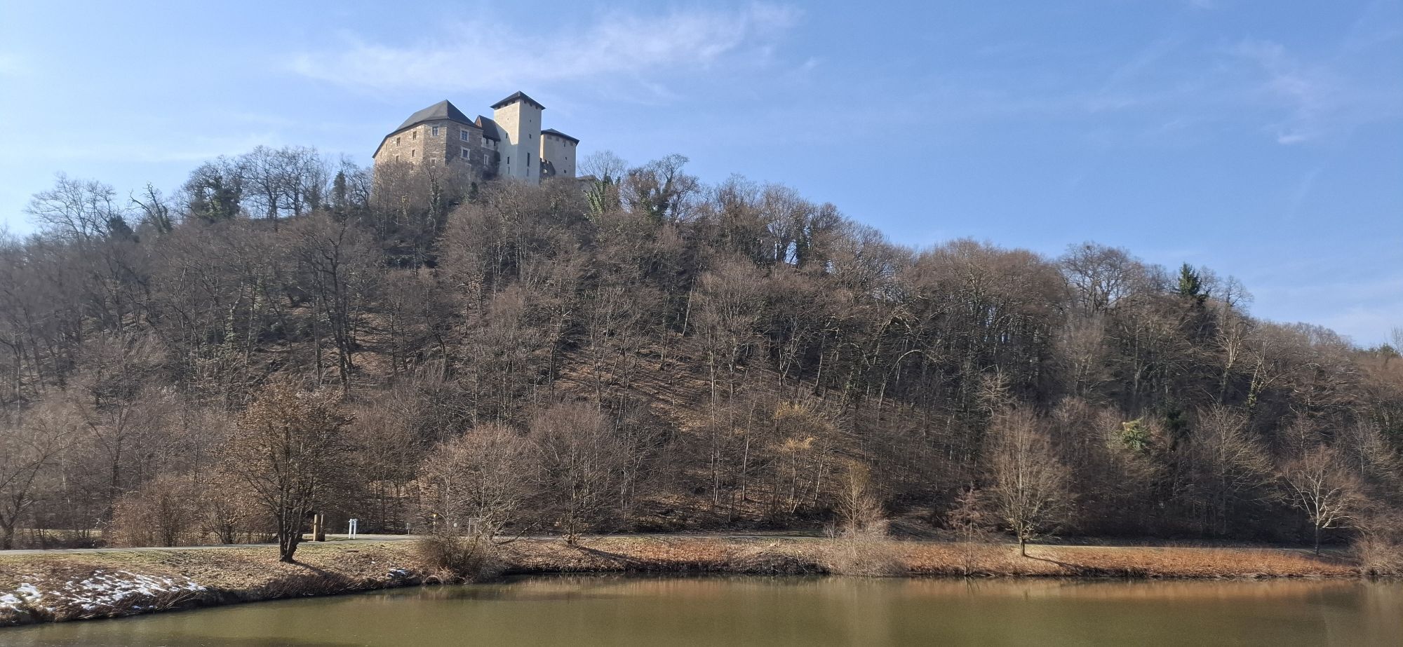
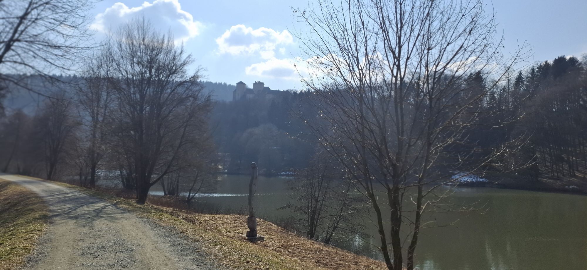
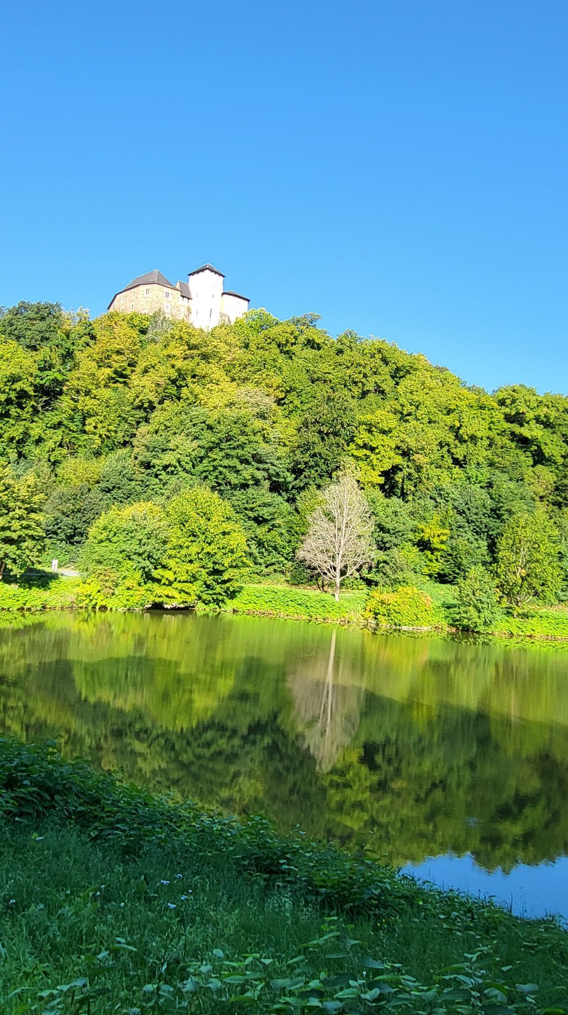
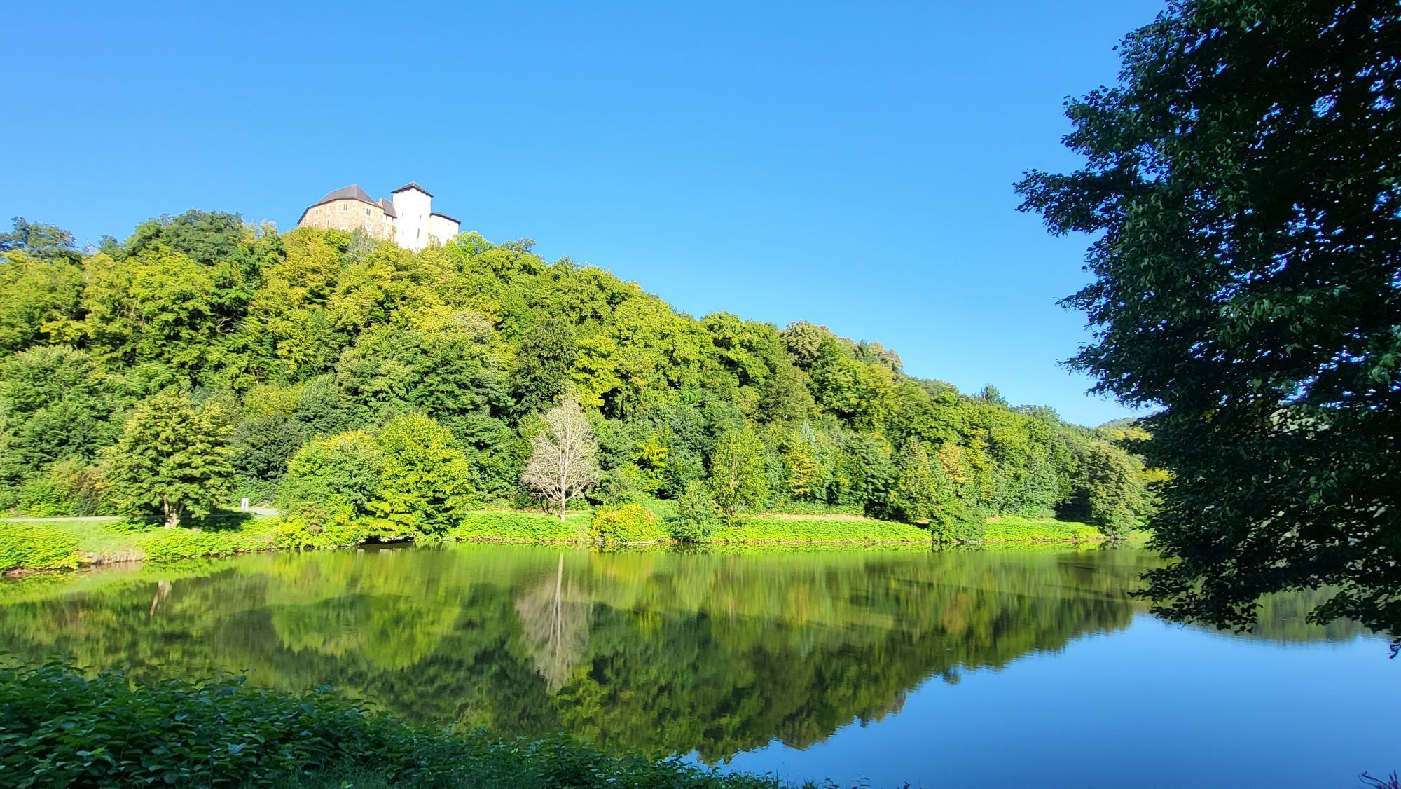
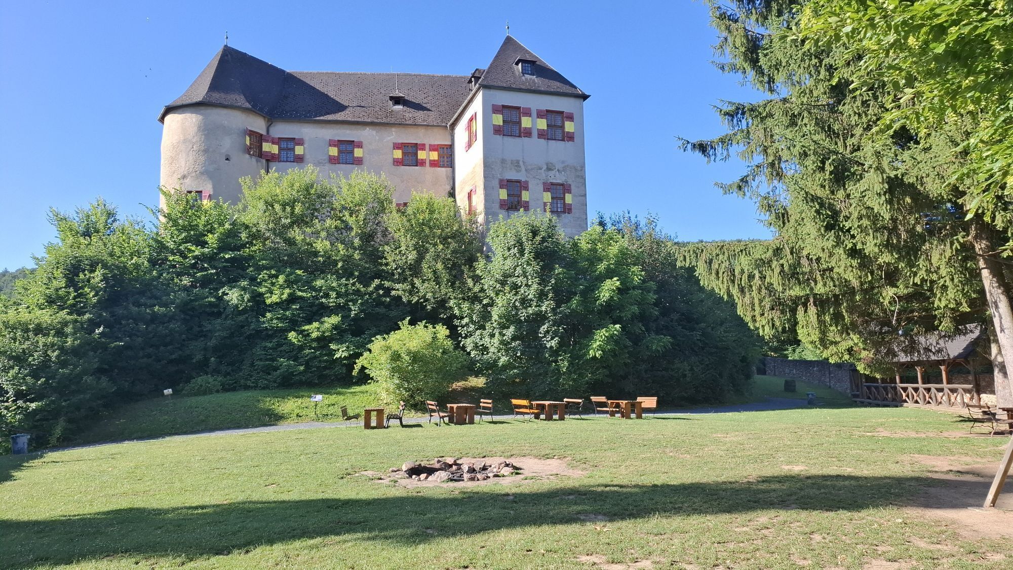
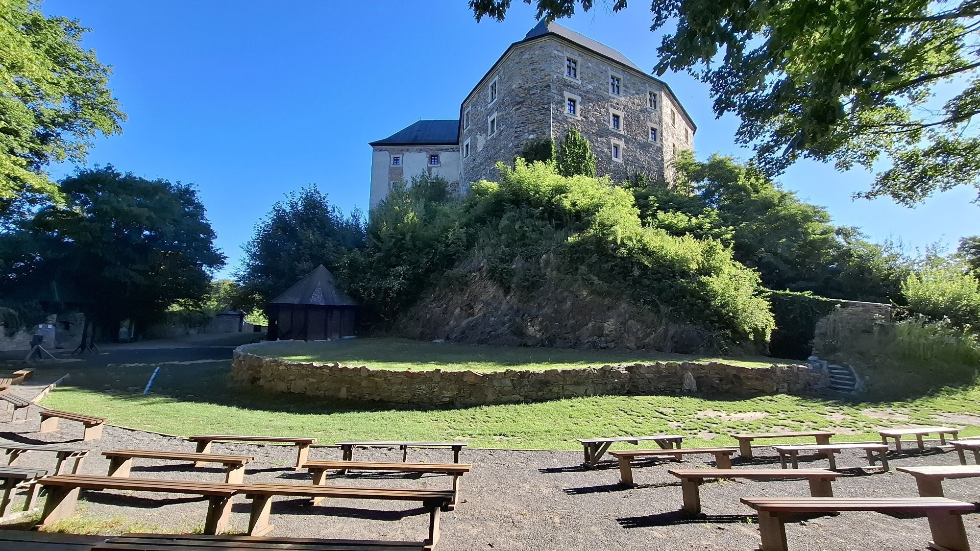
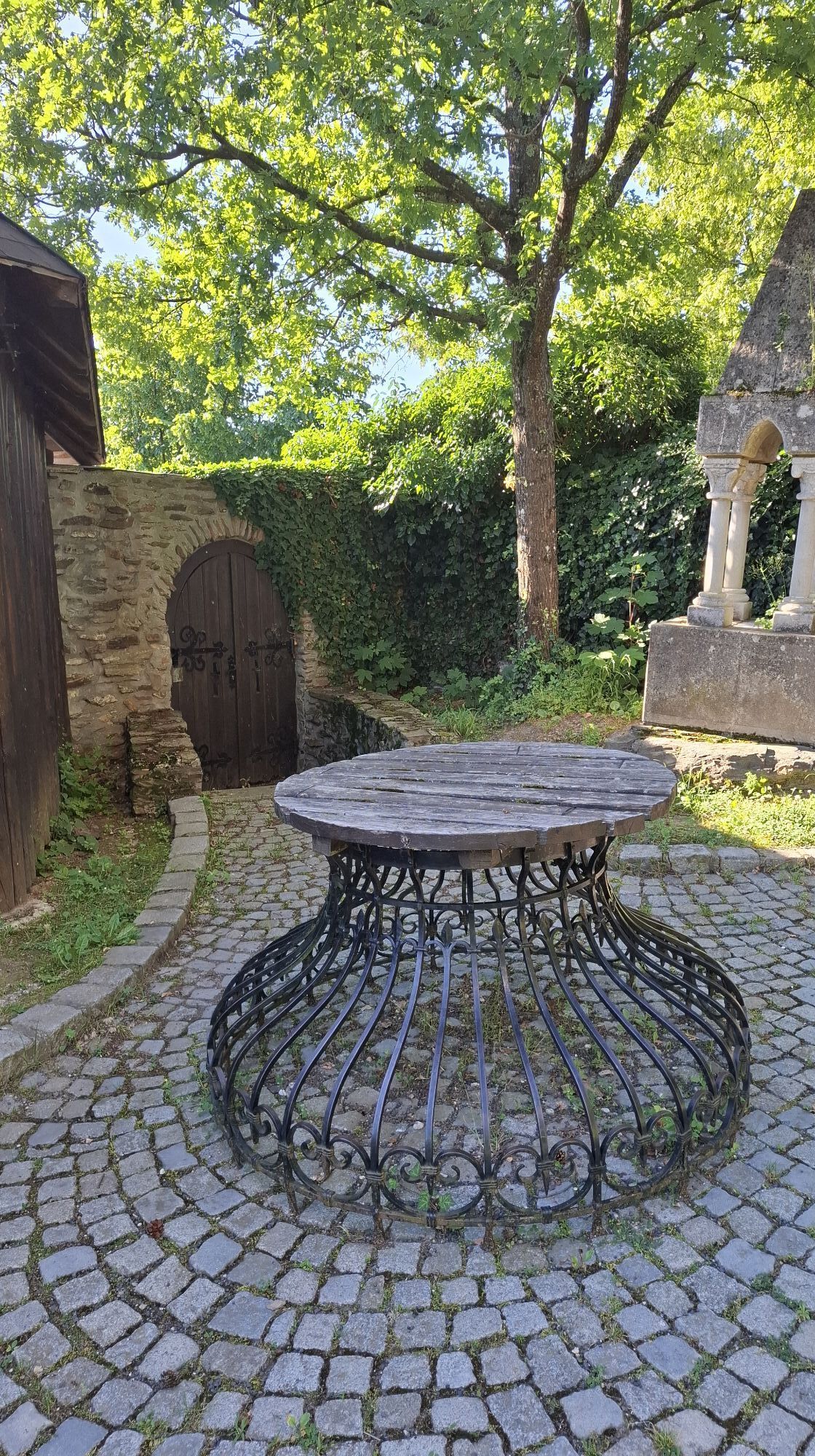
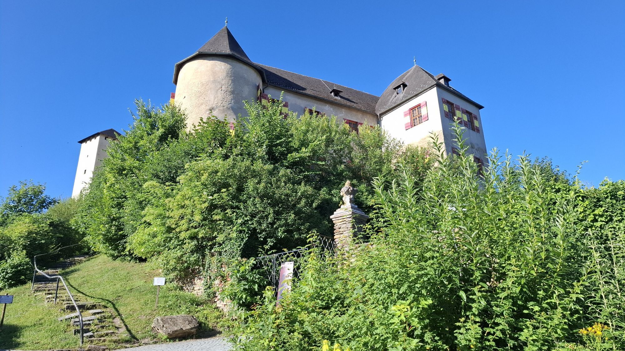
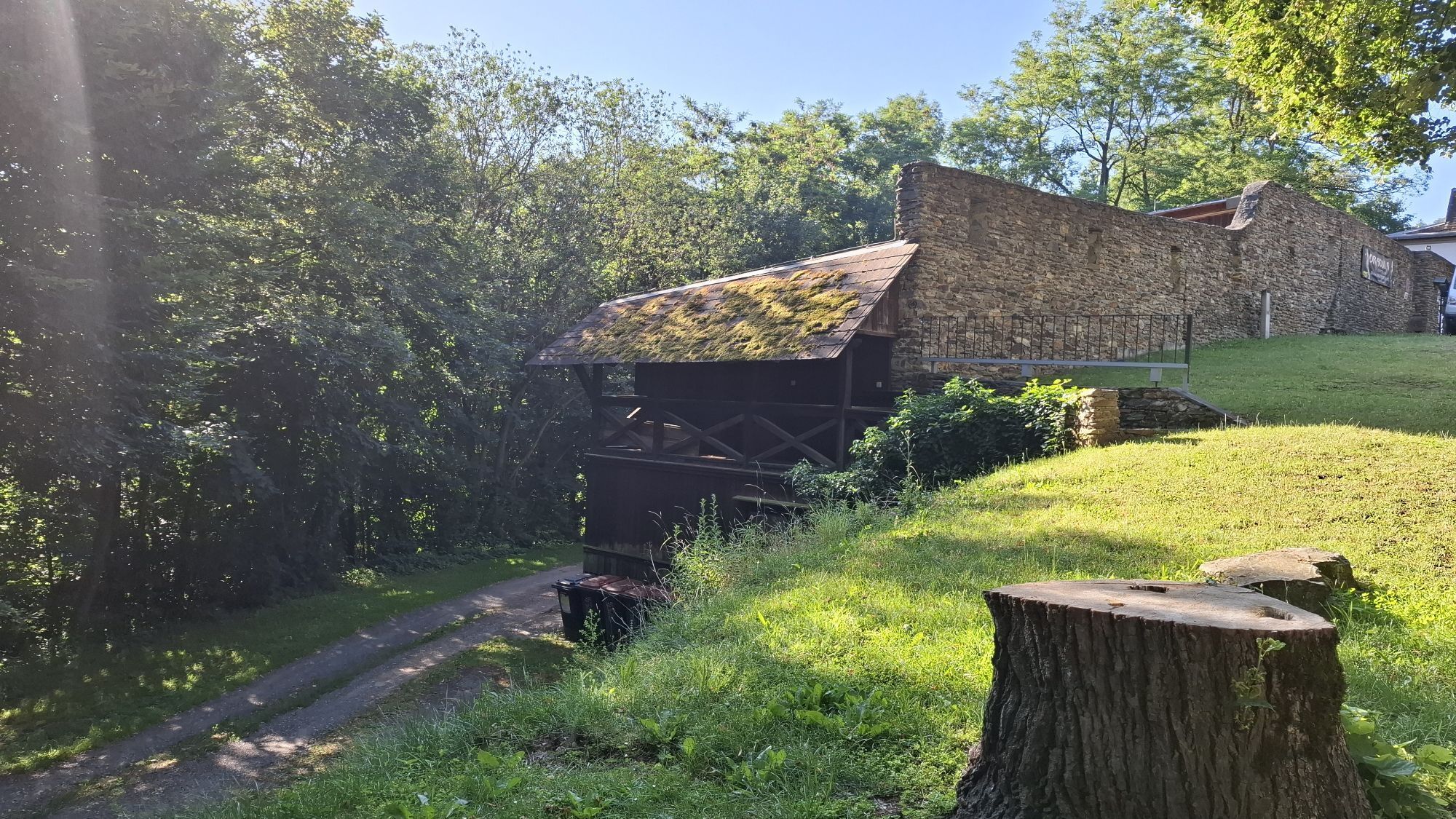
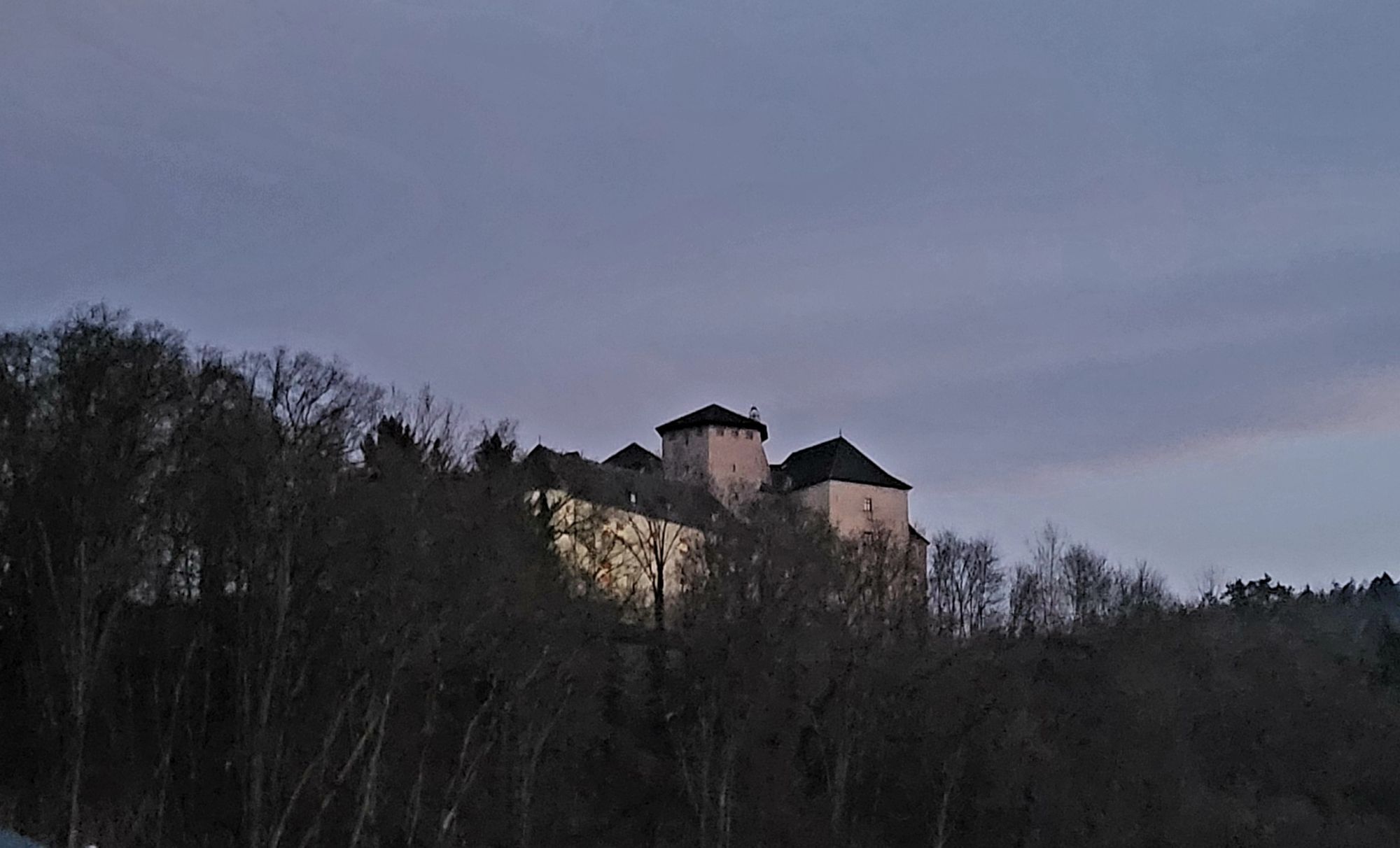
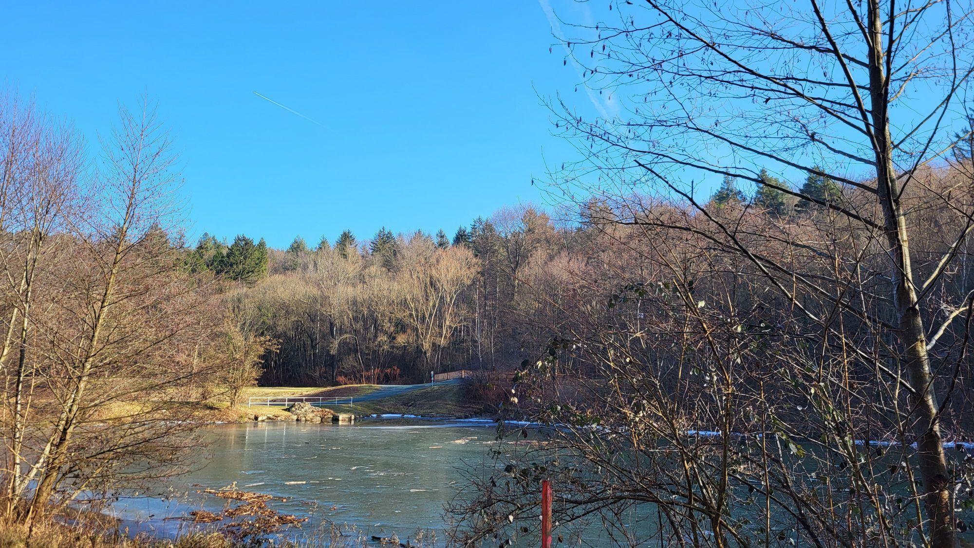
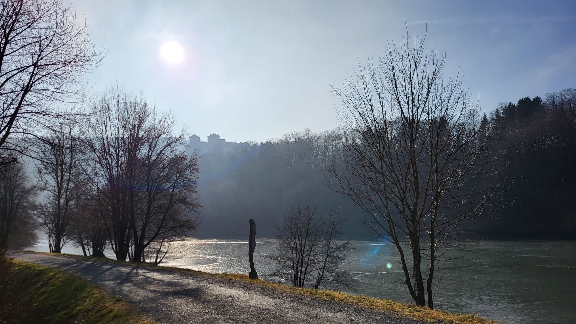
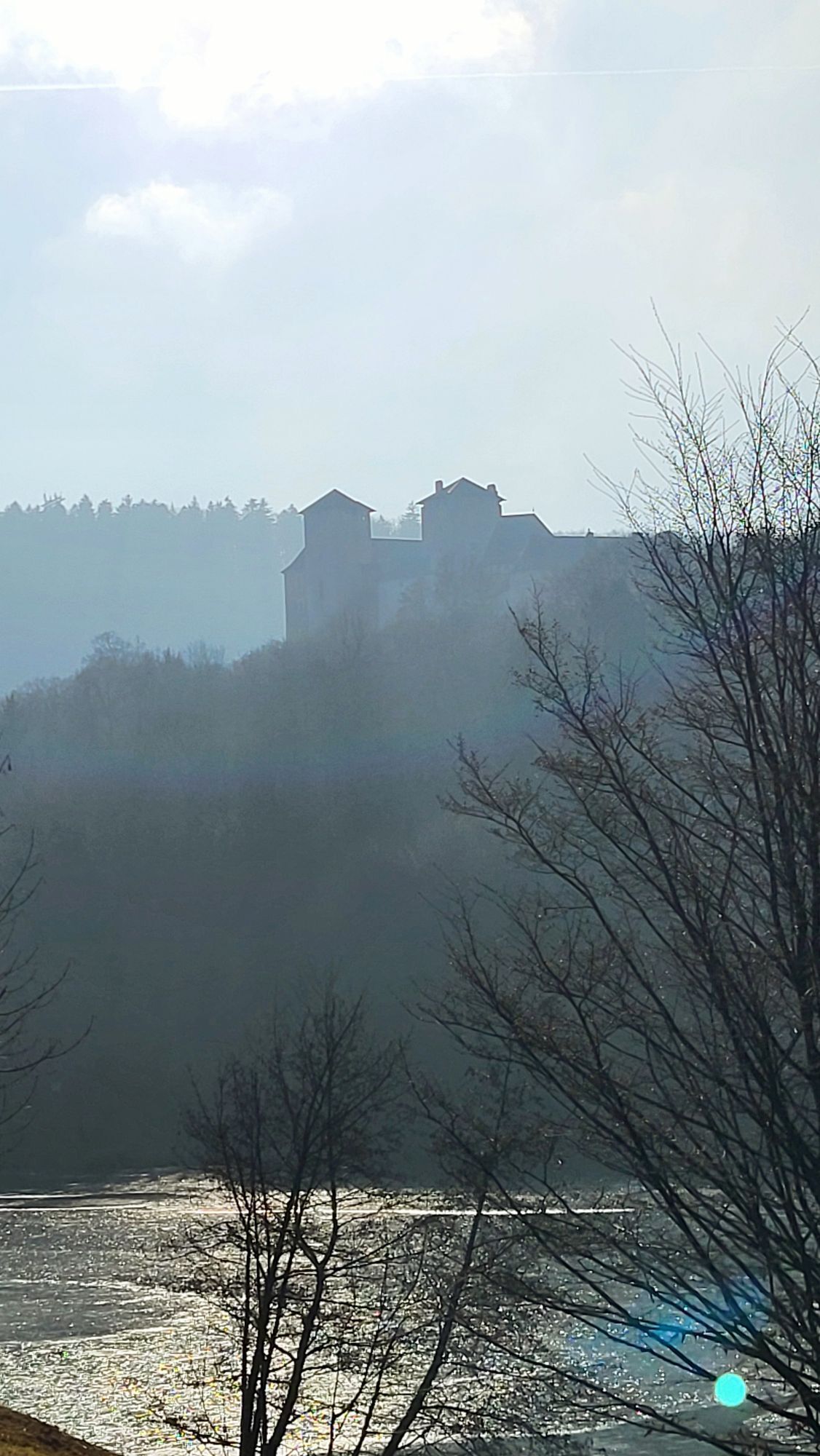
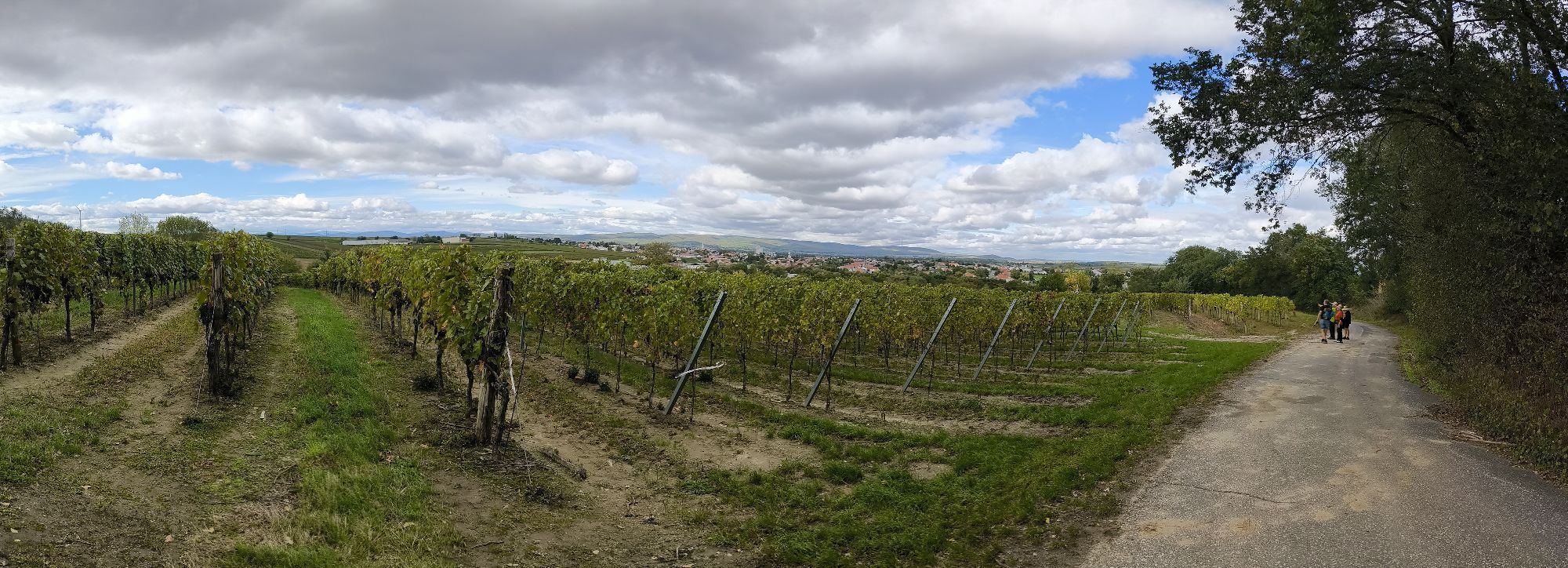
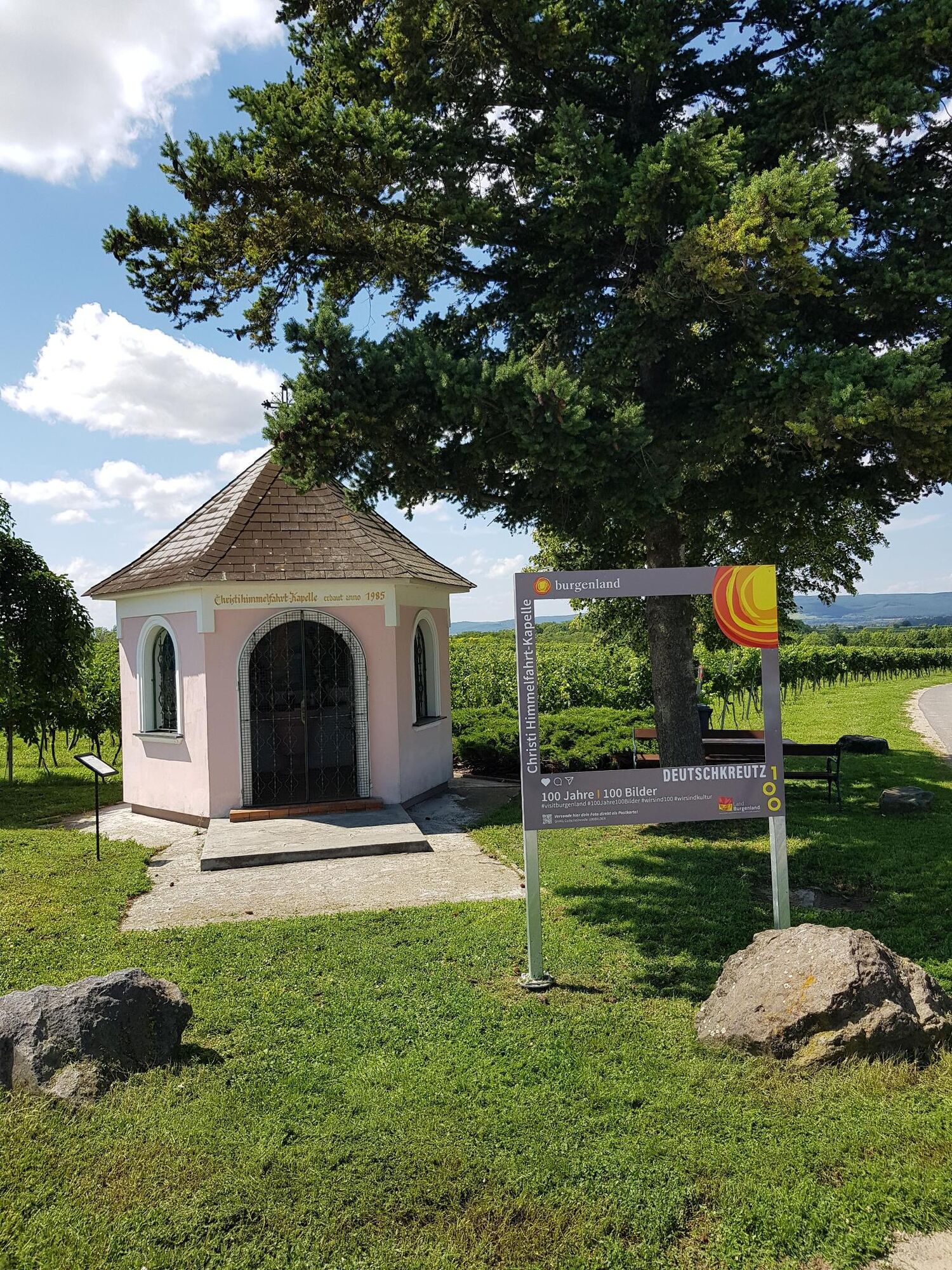
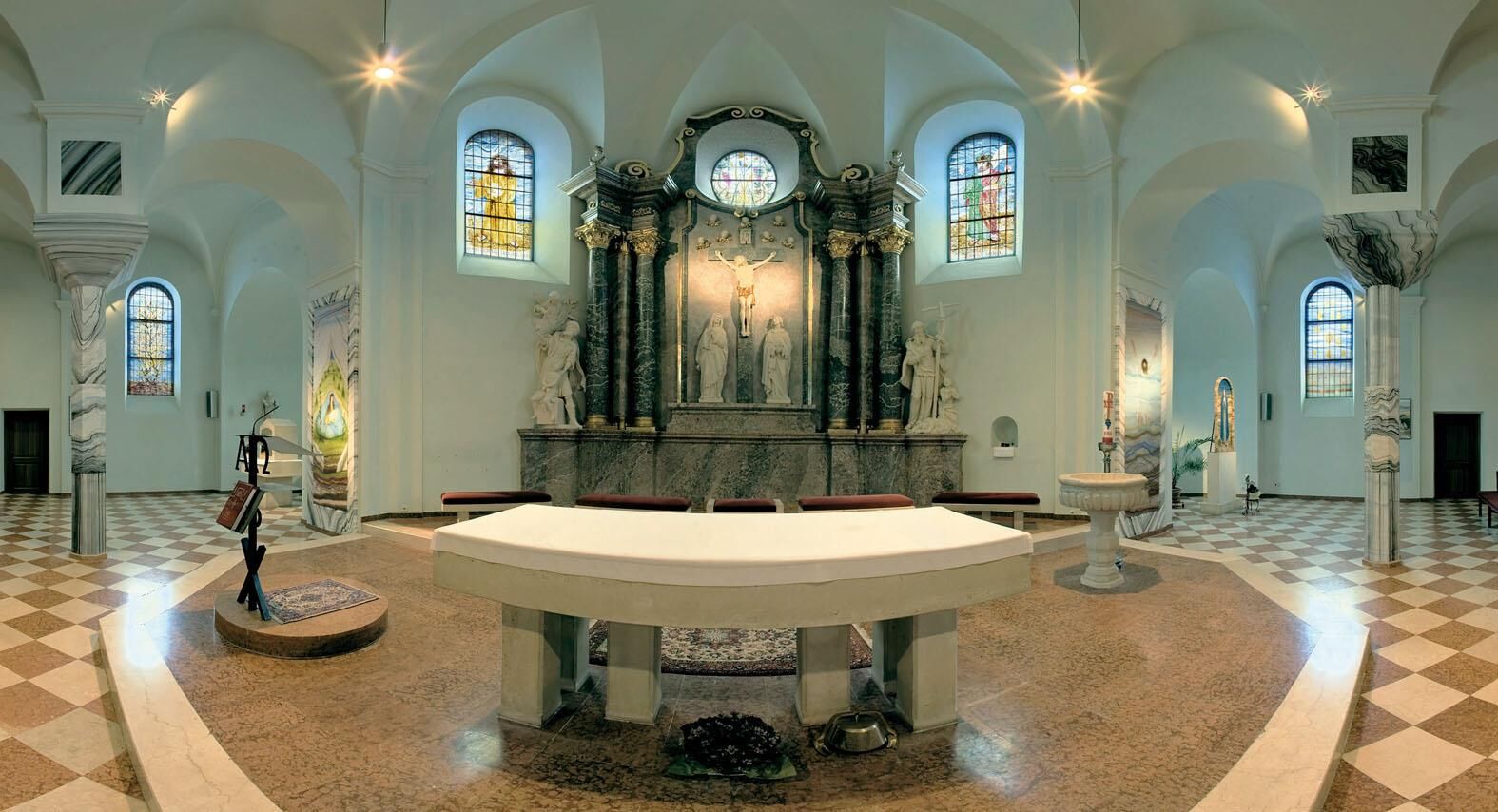
The Sonnenland route is a circular route through Mittelburgenland and can be started from any location and completed in 2 to 4 day stages depending on fitness. On this route, you get to know Blaufränkischland from its most beautiful side. Numerous renowned wineries invite you to taste their fine drops. Among other things, on this 163-kilometre long circular route, which can be perfectly divided into three or four day stages, you can visit Kobersdorf Castle, the Kobersdorf Synagogue, Blaudruck Koo, the pottery museum in Stoob, and much more. The Donatus Chapel in the middle of the vineyards invites you to a chill rest. The Liszt Centre in Raiding awaits you with the Klangfrühling and numerous other events. The tranquil villages of Mittelburgenland guarantee a stress-free and relaxing cycling holiday. Lockenhaus Castle is also worth a visit, as is Lackenbach Castle with its wonderful garden show. Well-stocked shops and chill gastronomy establishments invite you to a stroll in Oberpullendorf.


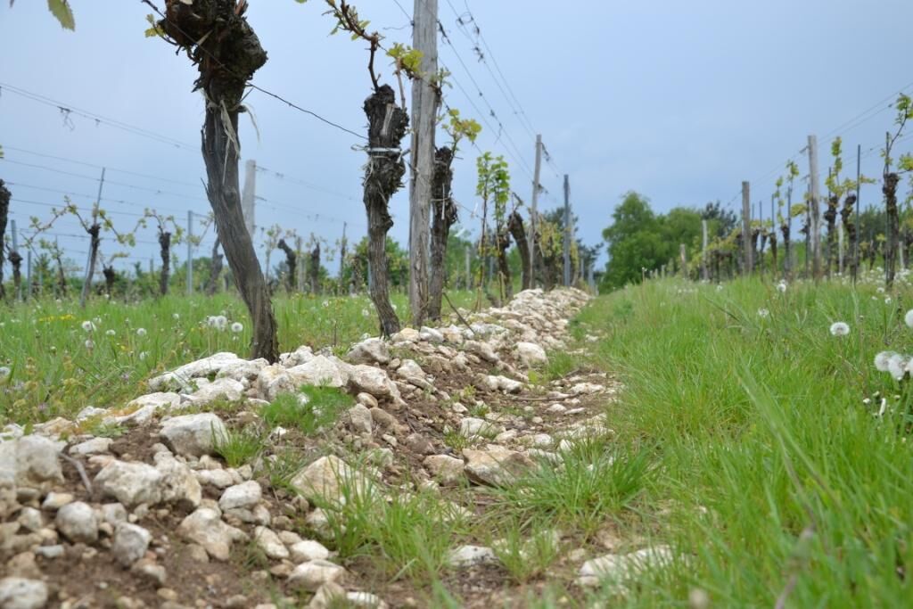
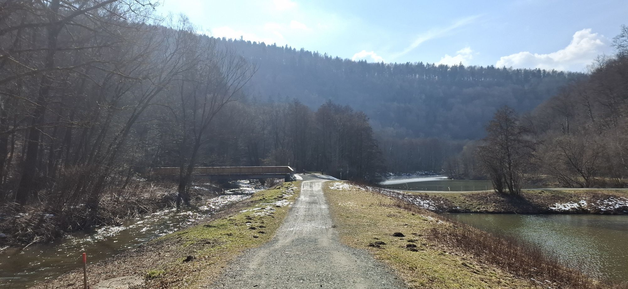
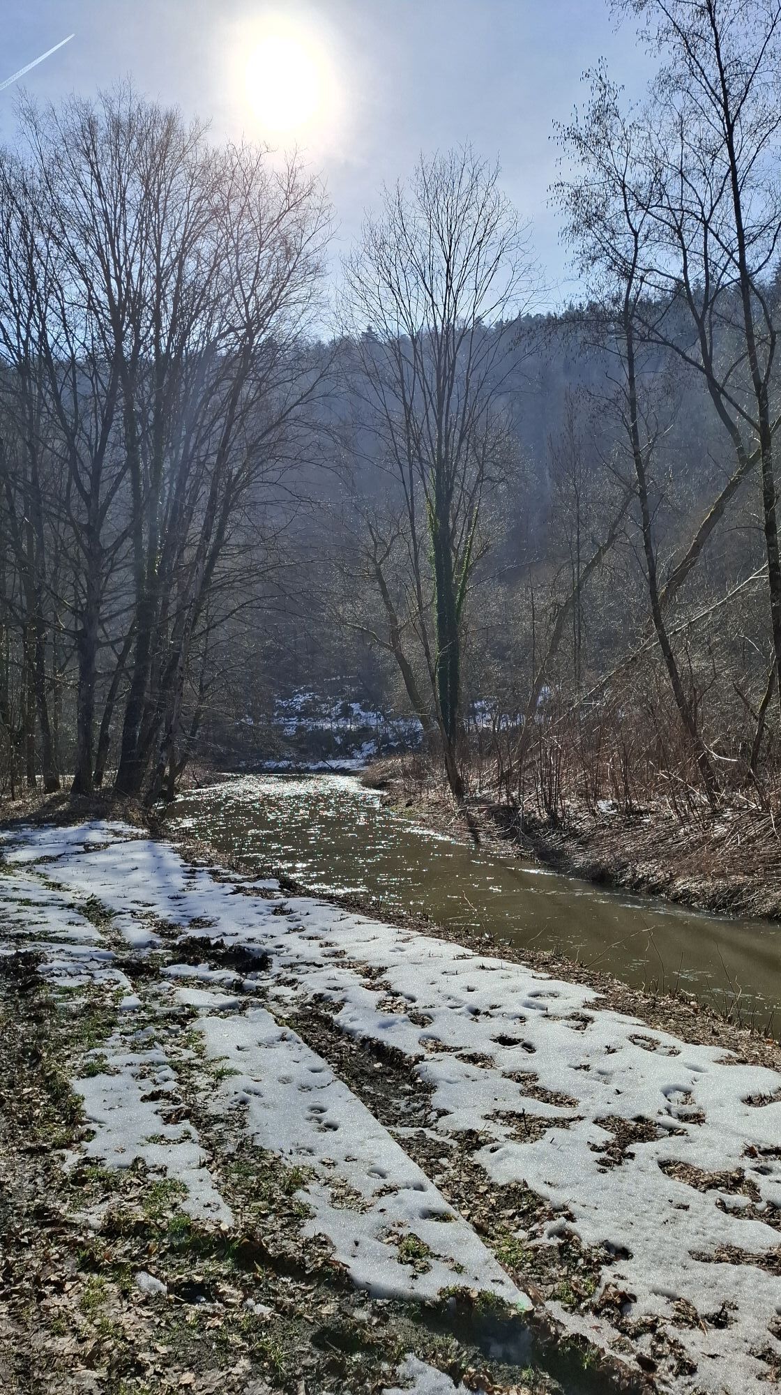
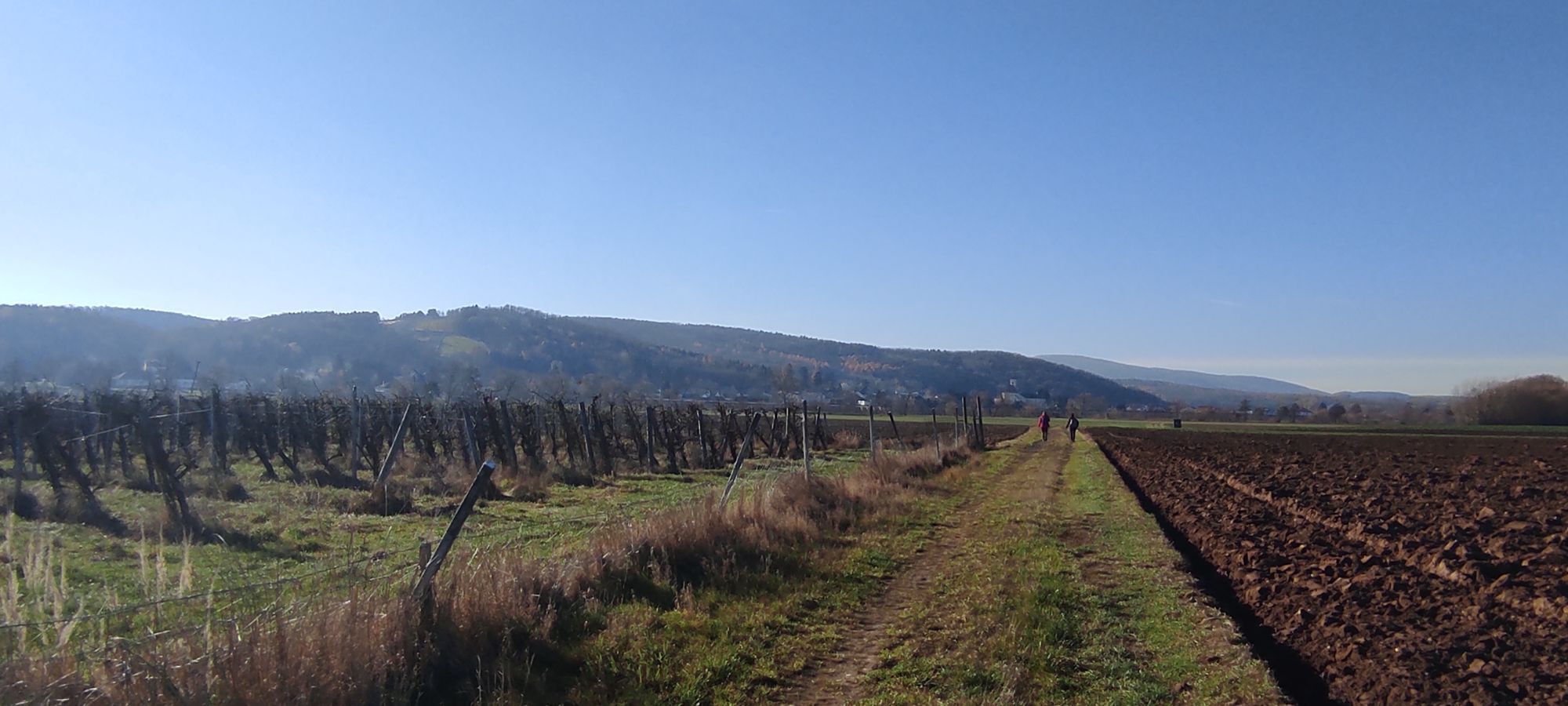
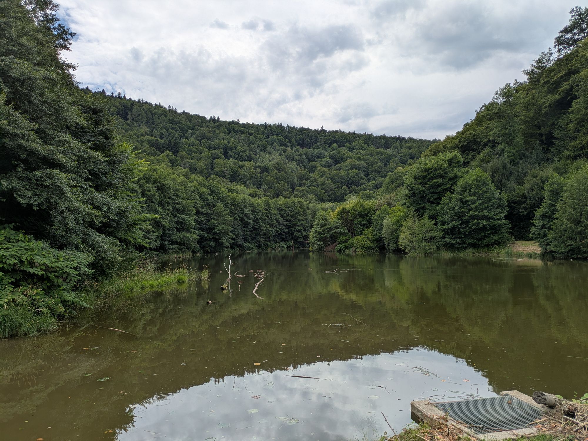
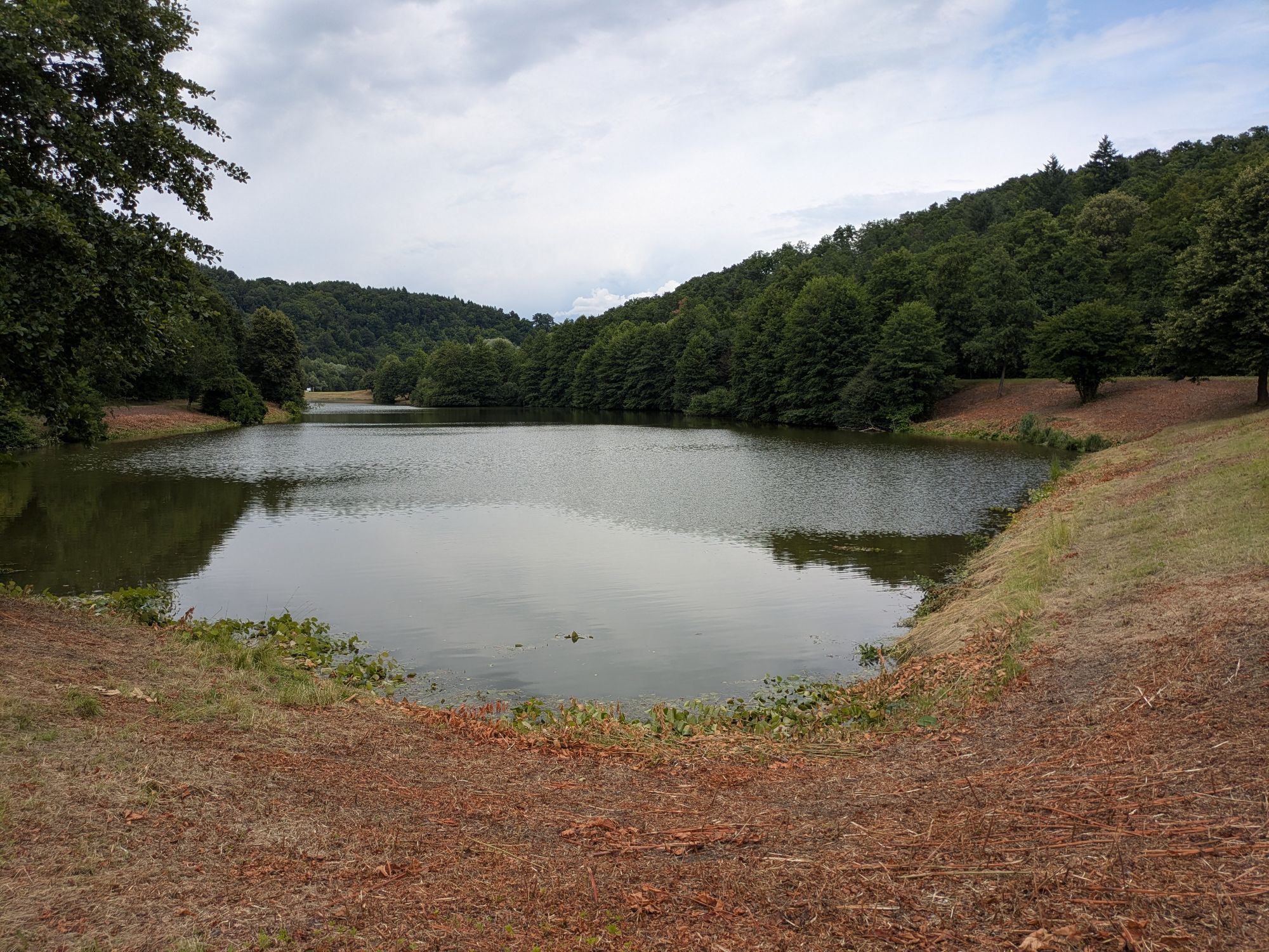
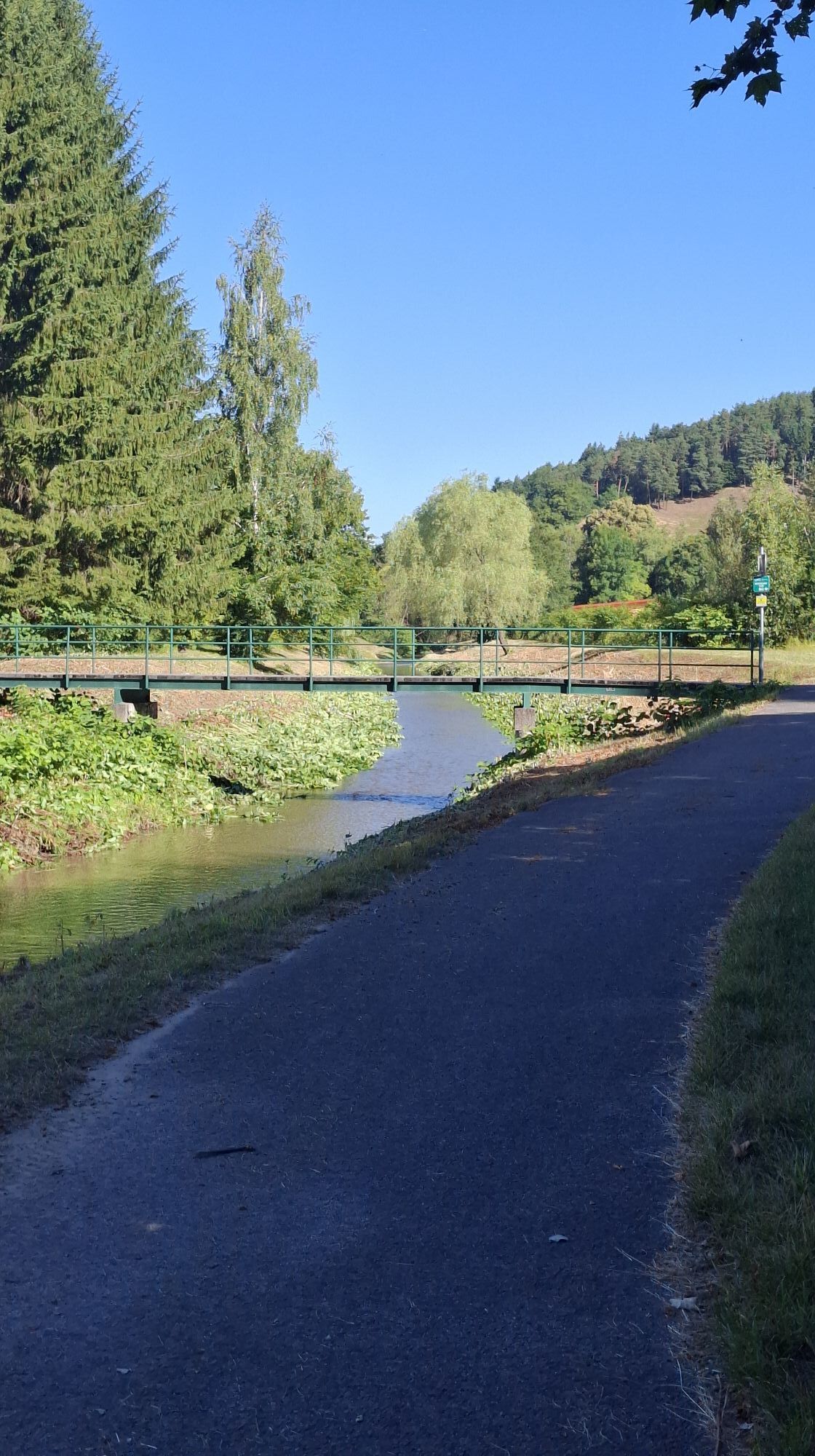
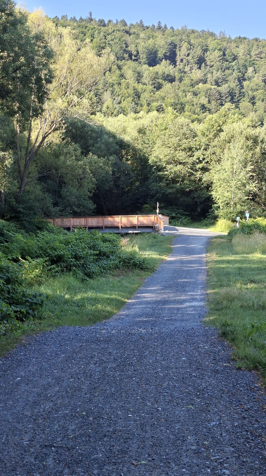
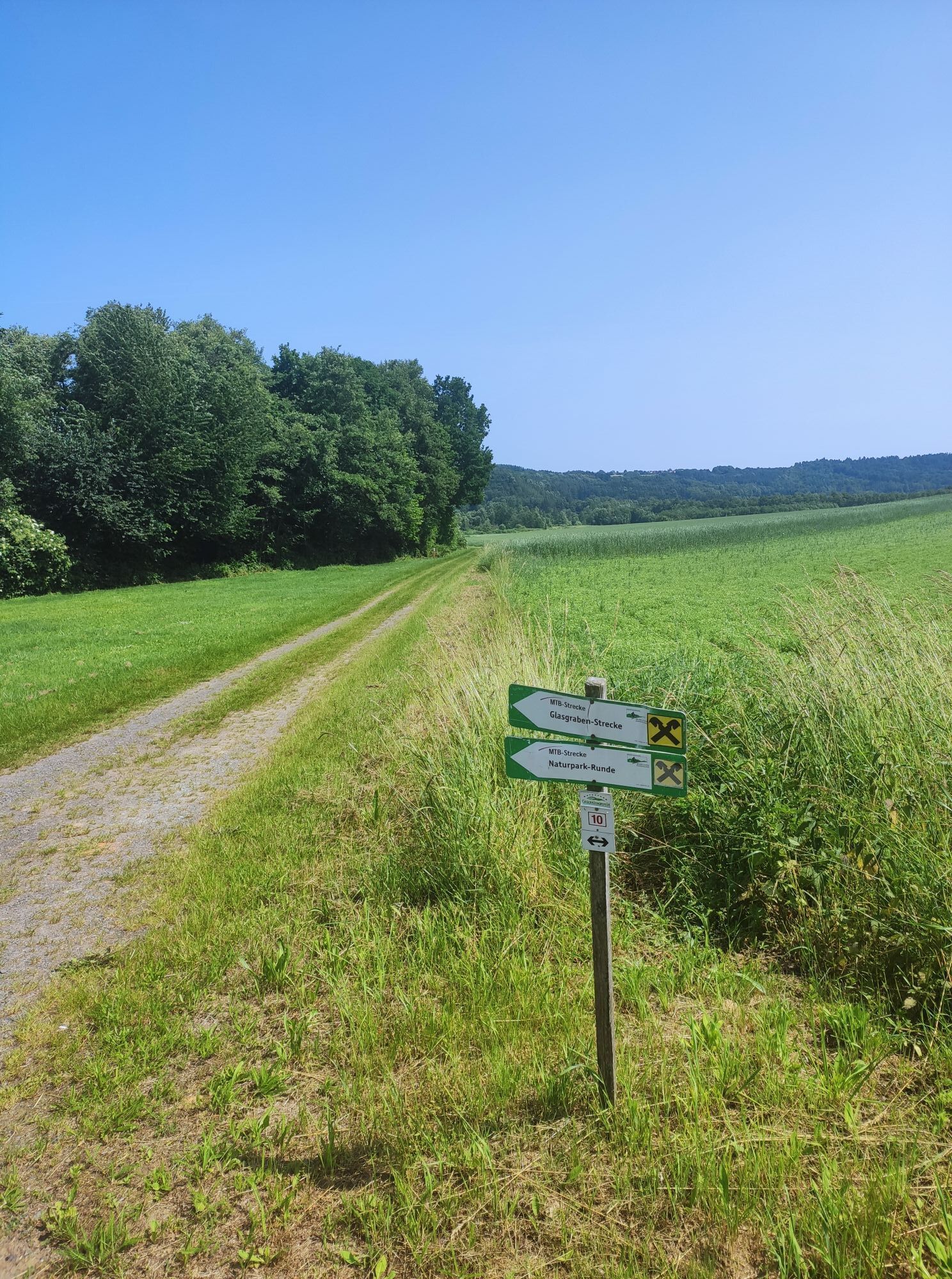
The cycle path is fully paved and runs on existing cycle paths or on low-traffic agricultural roads.
Stage 1: Deutschkreutz – Neutal (46.8 km)
Stage 2: Neutal – Lockenhaus (56.1 km)
Stage 3: Lockenhaus – Lutzmannsburg (30.3 km)
Stage 4: Lutzmannsburg - Deutschkreutz (29.8 km)
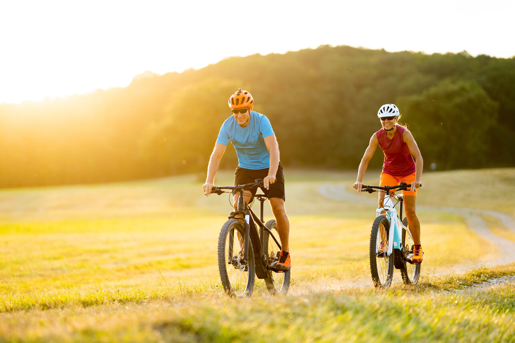
Bicycle helmet and comfortable sportswear, water bottle, sun protection, rain protection, snack
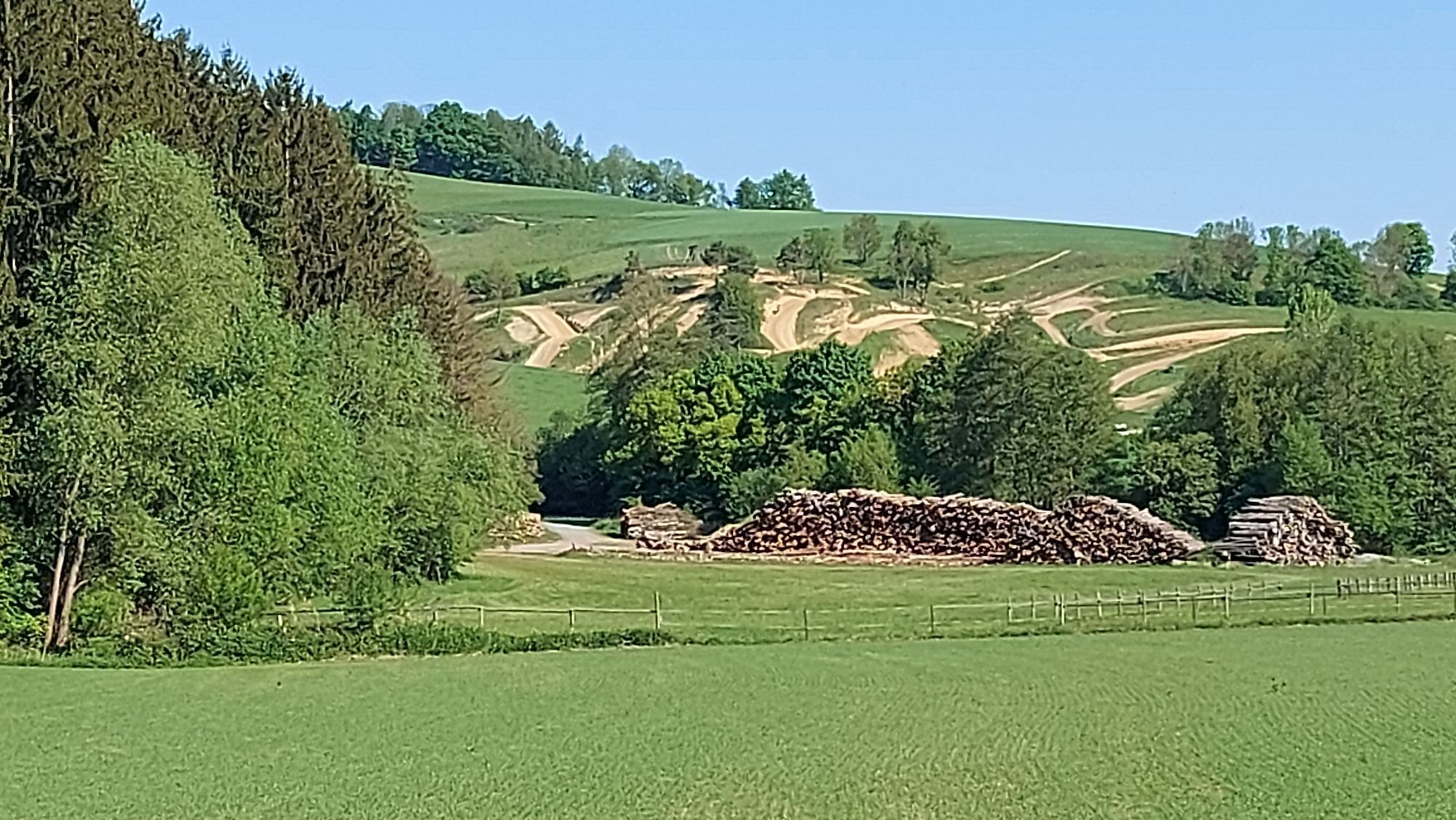
Since many cycle paths are agricultural service roads, agricultural traffic is to be expected there. Mutual consideration ensures that these paths remain pleasant and usable for everyone.
In Austria, bicycle helmets are mandatory for children up to 12 years old. Reflective vests are not mandatory at dusk, in darkness, or in poor visibility, but are certainly advantageous. Here is the link to the Austrian bicycle regulations.
A1, A3, A2, S31, federal and state roads
Deutschkreutz train station
at the individual starting points
www.mittelburgenland-rosalia.info
A visit to Lockenhaus Castle, the pottery museum, Blaudruck Koo, and the Liszt Centre as well as the numerous wineries is recommended.
Webové kamery z prohlídky
Oblíbené prohlídky v okolí
-
4.0
B40 Red Wine Cycle Route
středníJízda na kole 38.7 km -
2.9
Sonnenland Draisinentour
světloJízda na kole 23.0 km -
4.8
B41 Zöberntal-Rabnitztal cycle trail
středníJízda na kole 40.7 km -
4.5
Glasgraben route
středníTuristika 12.9 km -
3.0
R1 anniversary cycle path
heavyCyklistika na velkou vzdálenost 272.3 km -
2.5
Route planned on April 16, 2014
středníTuristika 25.8 km -
4.0
M62 From Lockenhaus to Margarethenwarte
středníTuristika 7.20 km -
5.0
AMBER TRAIL East route | enjoyable hiking between the Alps and Puszta
střednídálková pěší trasa 314.8 km -
4.0
IRON CURTAIN TRAIL EV 13 - Burgenland Package
Cyklistika na velkou vzdálenost 283.9 km -
5.0
M61 WeinSteinWeg
heavyTematická stezka 10.4 km
Pěší turistika a stopování


Nenechte si ujít nabídky a inspiraci pro vaši příští dovolenou
Vaše e-mailová adresa byl přidán do poštovního seznamu.