


Route planned on April 16, 2014
The Landseer Berge Nature Park is an entirely protected landscape and is located in the western part of Central Burgenland and also includes parts of the neighboring Bucklige Welt in Lower Austria. In...
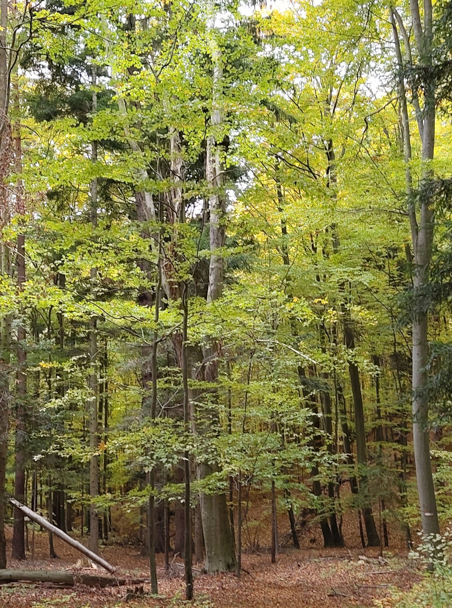
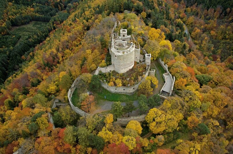
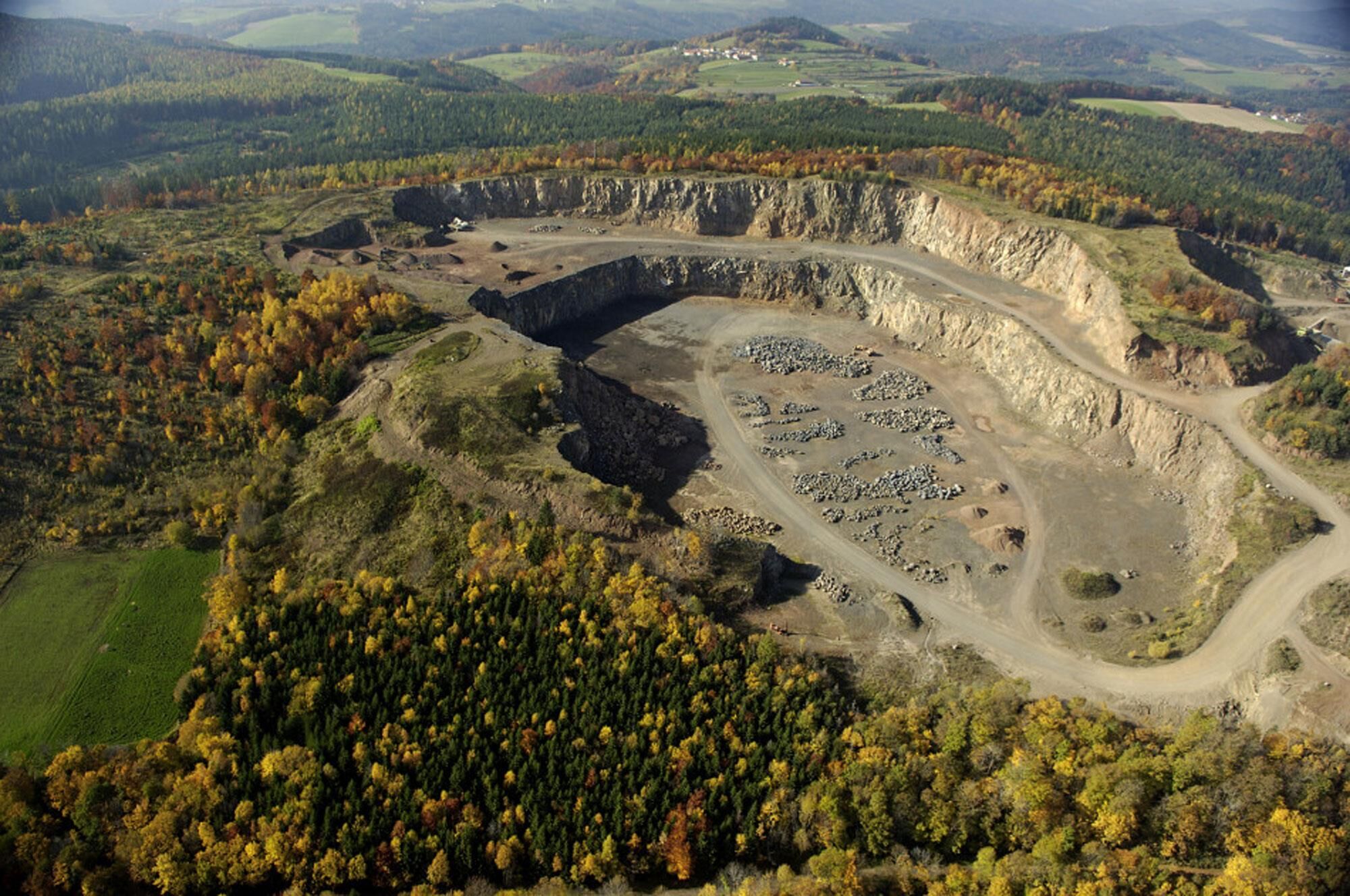
The Landseer Berge Nature Park is an entirely protected landscape and is located in the western part of Central Burgenland and also includes parts of the neighboring Bucklige Welt in Lower Austria. In the middle of the nature Park lies the Landsee ruins, which are an important habitat for bats. It offers a magnificent view over large parts of Burgenland. The Pauliberg is of volcanic origin. In addition to basalt, it consists of a further 60 types of mineral. Basalt mining is carried out in the quarry, basalt is a rock wgich is particularly valued for its hardness. The hike continues to the Celtic villages in Schwarzenbach. the Celtic village recreates Celtic life in Celtic times. The Turmcafe invites you to enjoy refreshments an small delicacies.


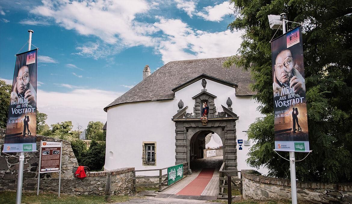
Kobersdorf- Ruine Landsee- Pauliberg-Schwarzenbach-Kobersdorf
Ano
bequemes Schuhwerk, Sonnenbrille
a cellphone is an advantage
A1, A2, A3, S31
Bundes- und Landesstraßen
mit dem Bus
Burgenländischen Anrufsammetaxi - BAST
in der nächsten Umgebung in Kobersdorf
Thermengelände 1
7361 Lutzmannsburg
Tel.: 02615 / 87171-2210
info@sonnenland.at
www.sonnenland.at
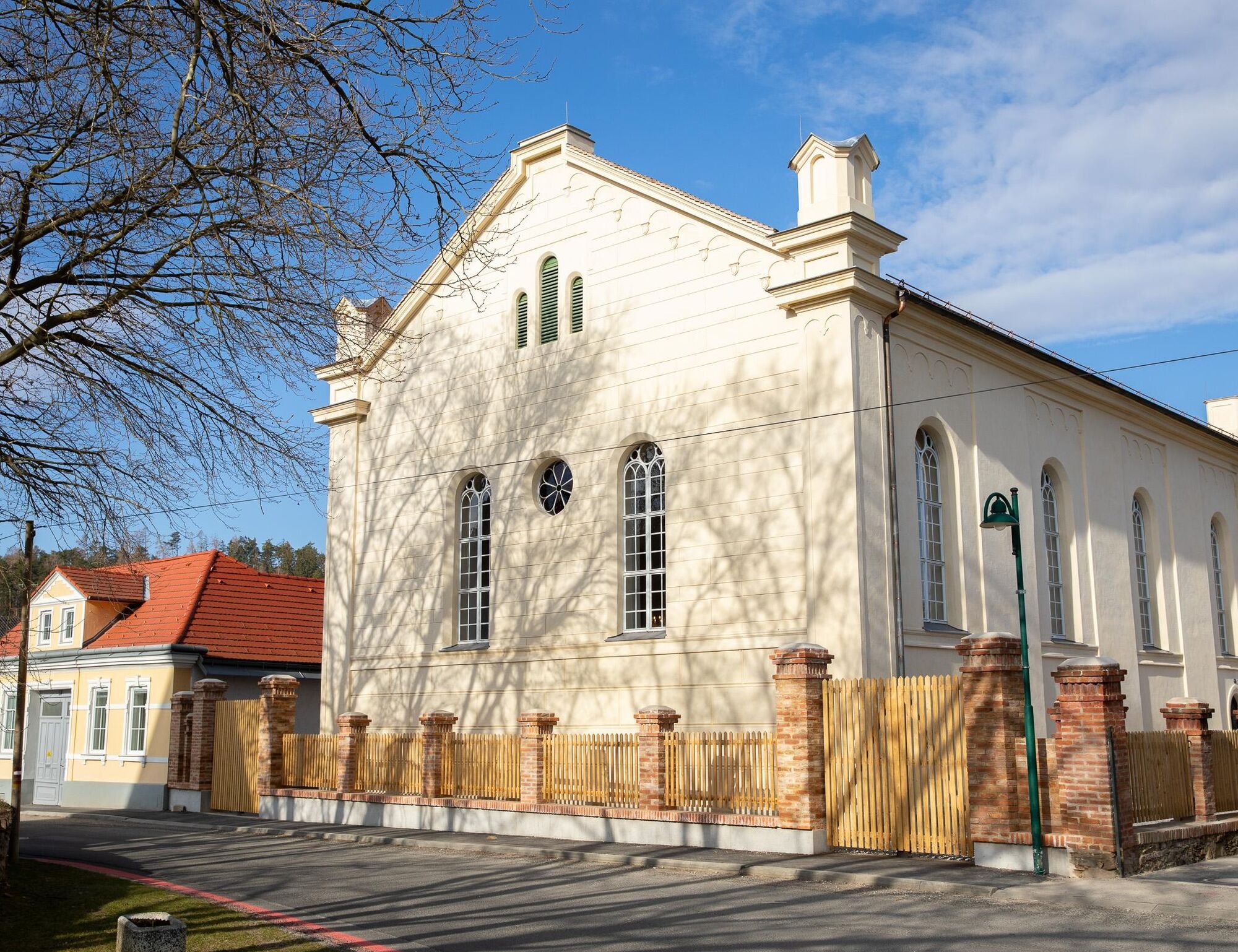
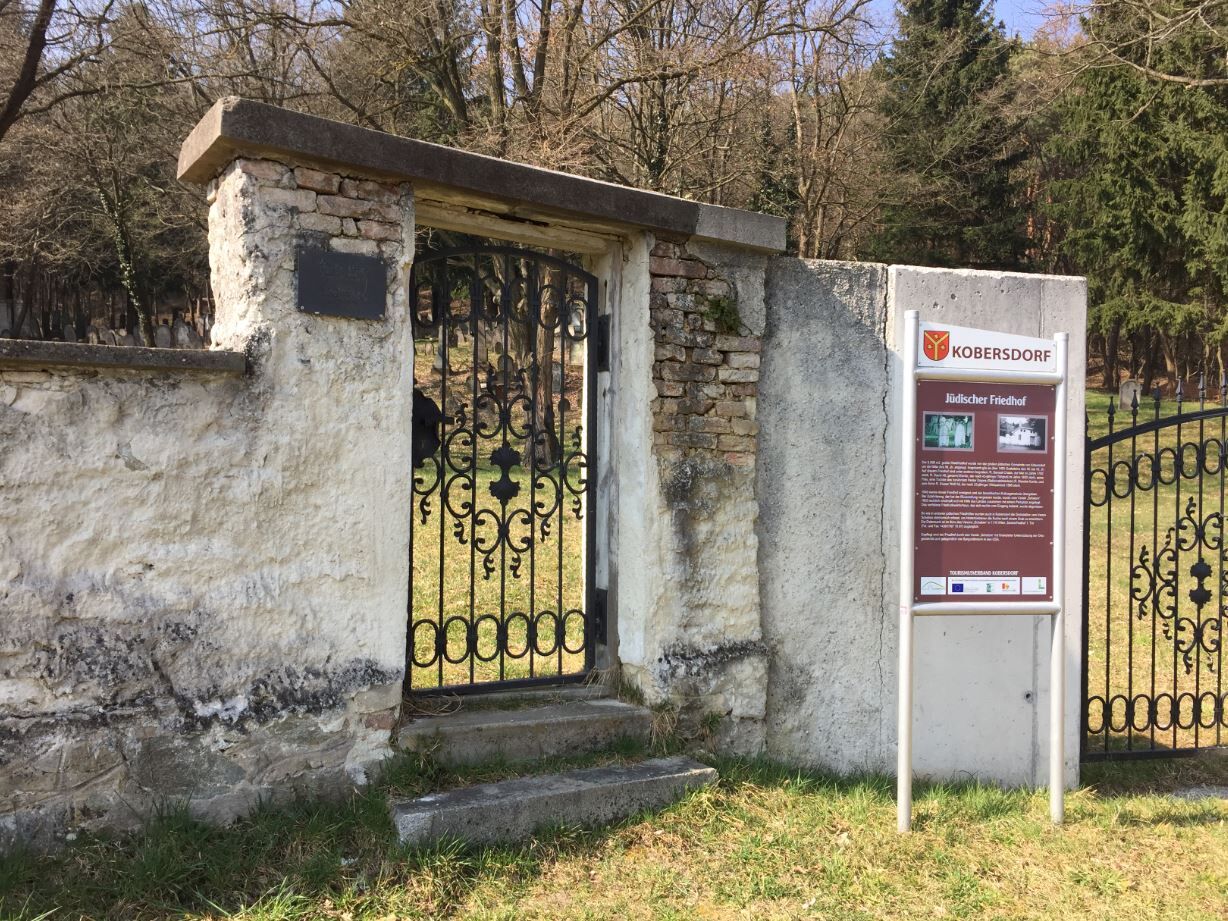
Pauliberg, Ruine Landsee, Keltendorf, archäologisches Museum mit Turmcafe, Schloß Kobersdorf, Synagoge, jüdischer Friedhof, Brauerei in Kobersdorf, Elisabeth Park
are all worth seeing
Oblíbené prohlídky v okolí
-
4.5
To the Wiesen/Lanzenkirchen observation tower from the Rosalia
světloTuristika 4.25 km -
4.6
Forchtenstein-Rosalienkapelle
světloTuristika 7.86 km -
3.0
Sonnenland Draisinentour
světloJízda na kole 23.0 km -
4.3
Hiking "Following the footsteps of Salah he", Forchtenstein
středníTuristika 9.11 km -
3.1
Rundwanderung zum Herrentisch
středníTuristika 13.7 km -
4.7
NaNaNa discovery route - The Rohrbach pond meadows
světloTuristika 5.73 km -
3.2
Rosaliakapelle-Heuberg-Mehlberleiten-Ofenbach-Rosaliakapelle
středníTuristika 11.7 km -
5.0
Circular hike "The Fool"
světloTuristika 15.8 km -
3.7
Aussichtsturm Wiesen-Lanzenkirchen von Wiesen
středníTuristika 14.1 km -
EuroVelo 9 Breclav (CZ) - Maribor (SI)
středníJízda na kole 433.6 km

Pěší turistika a stopování


Nenechte si ujít nabídky a inspiraci pro vaši příští dovolenou
Vaše e-mailová adresa byl přidán do poštovního seznamu.