






Schwefelbergbad Trail
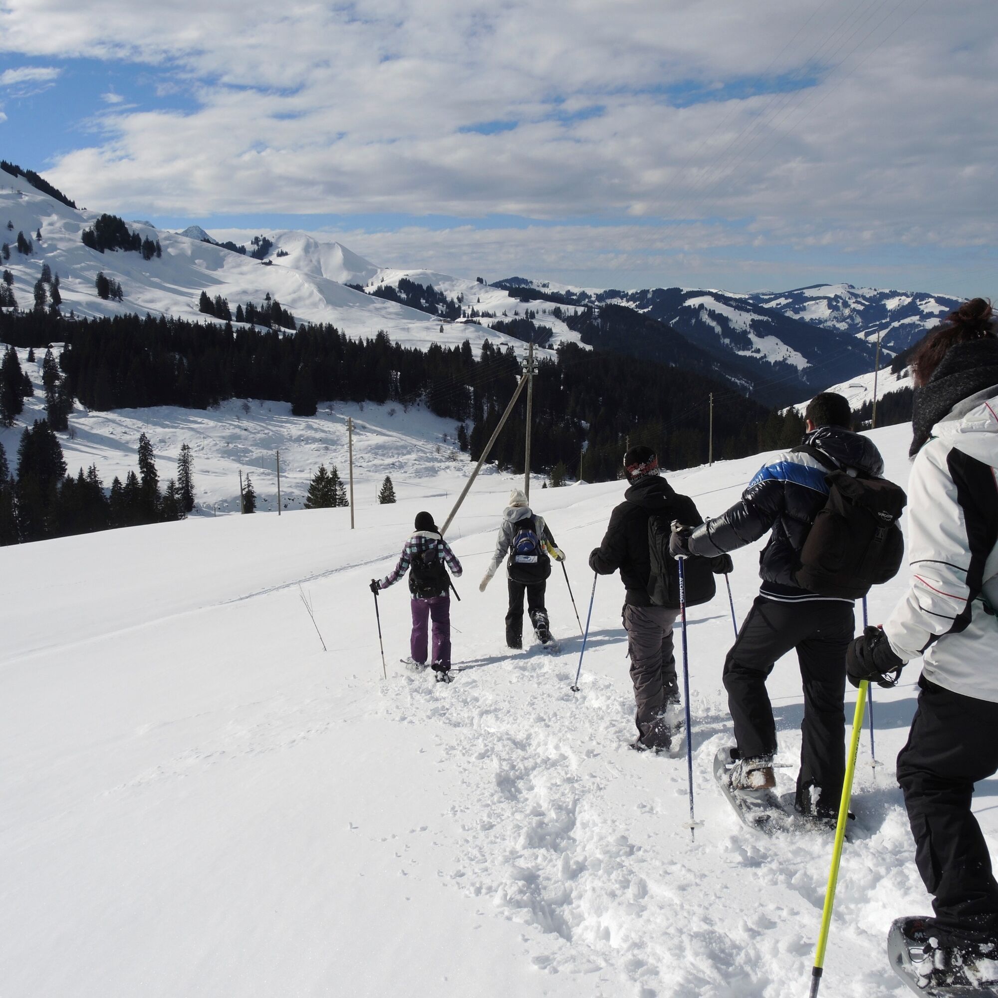
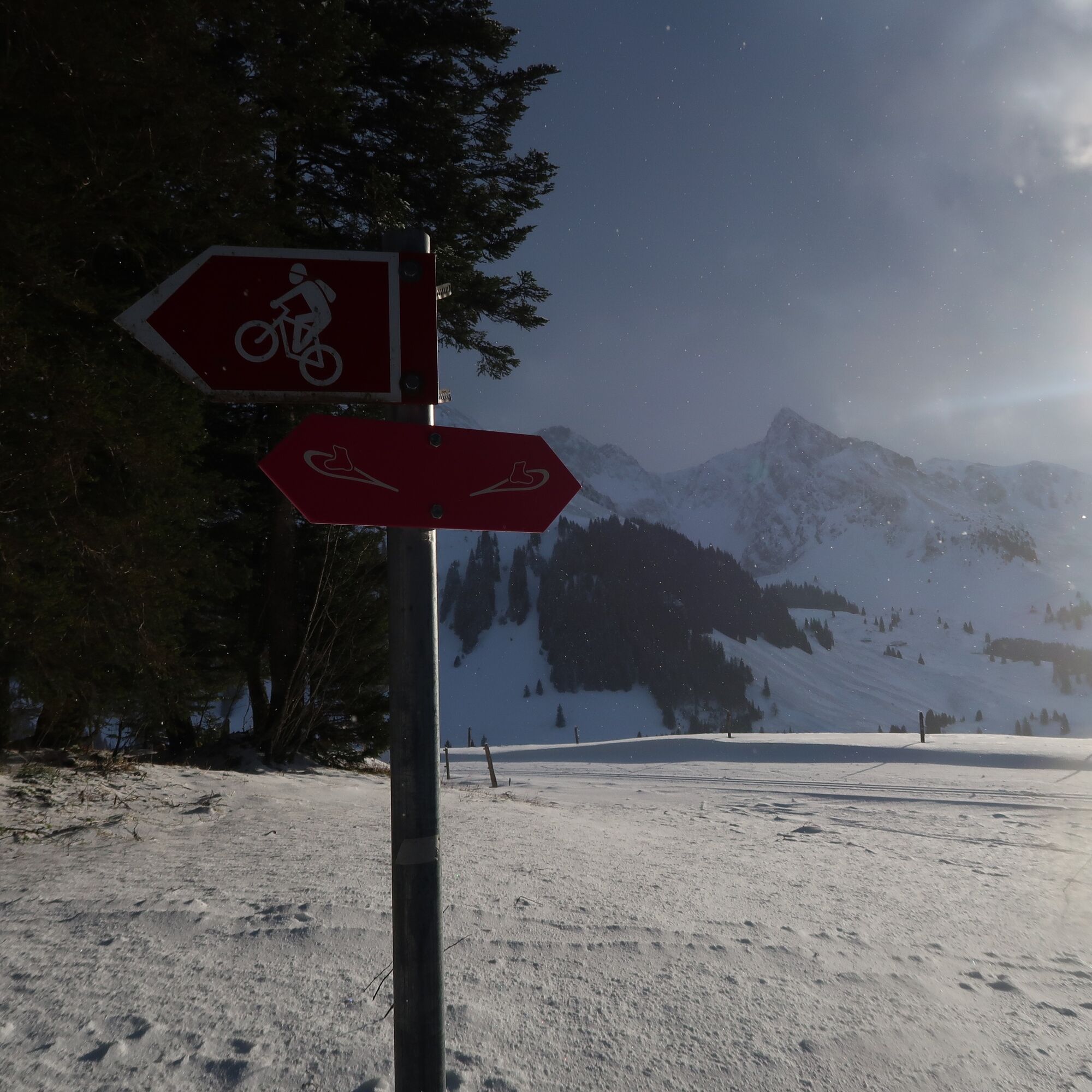
The Postbus takes you comfortably to the Schwefelbergbad stop. Depending on snow conditions and previous use, the route can also be used simply as a winter hiking trail. Snowshoe routes are signposted...
The Postbus takes you comfortably to the Schwefelbergbad stop. Depending on snow conditions and previous use, the route can also be used simply as a winter hiking trail. Snowshoe routes are signposted at the junctions. The destinations and hiking times can be found on the summer signposts. This provides visitors unfamiliar with the area with another attractive trail away from the roads.
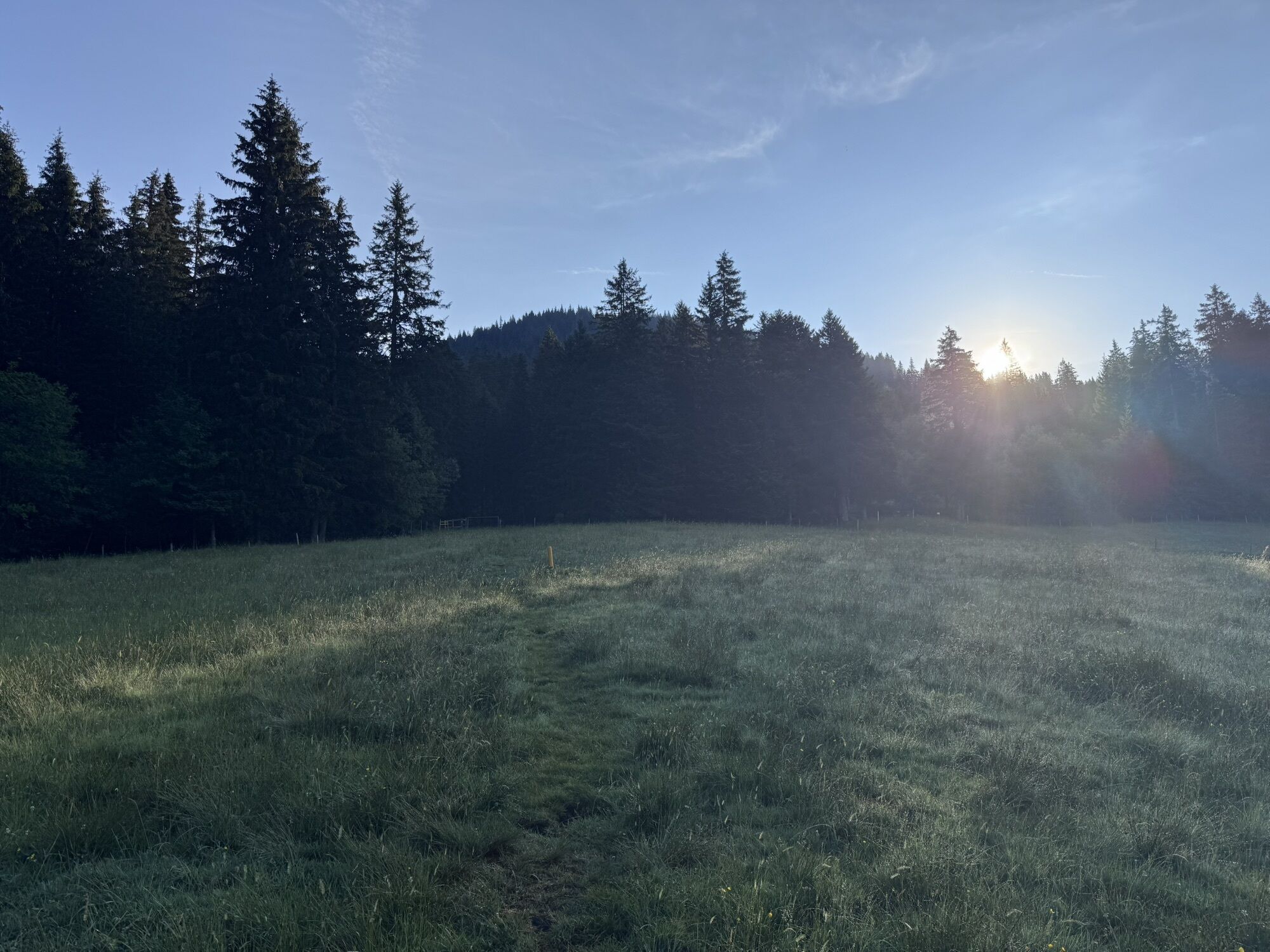
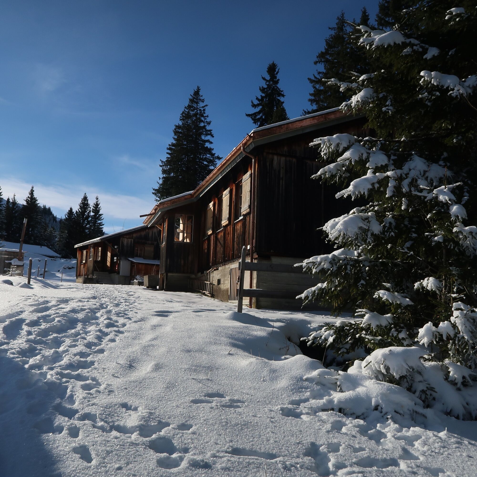
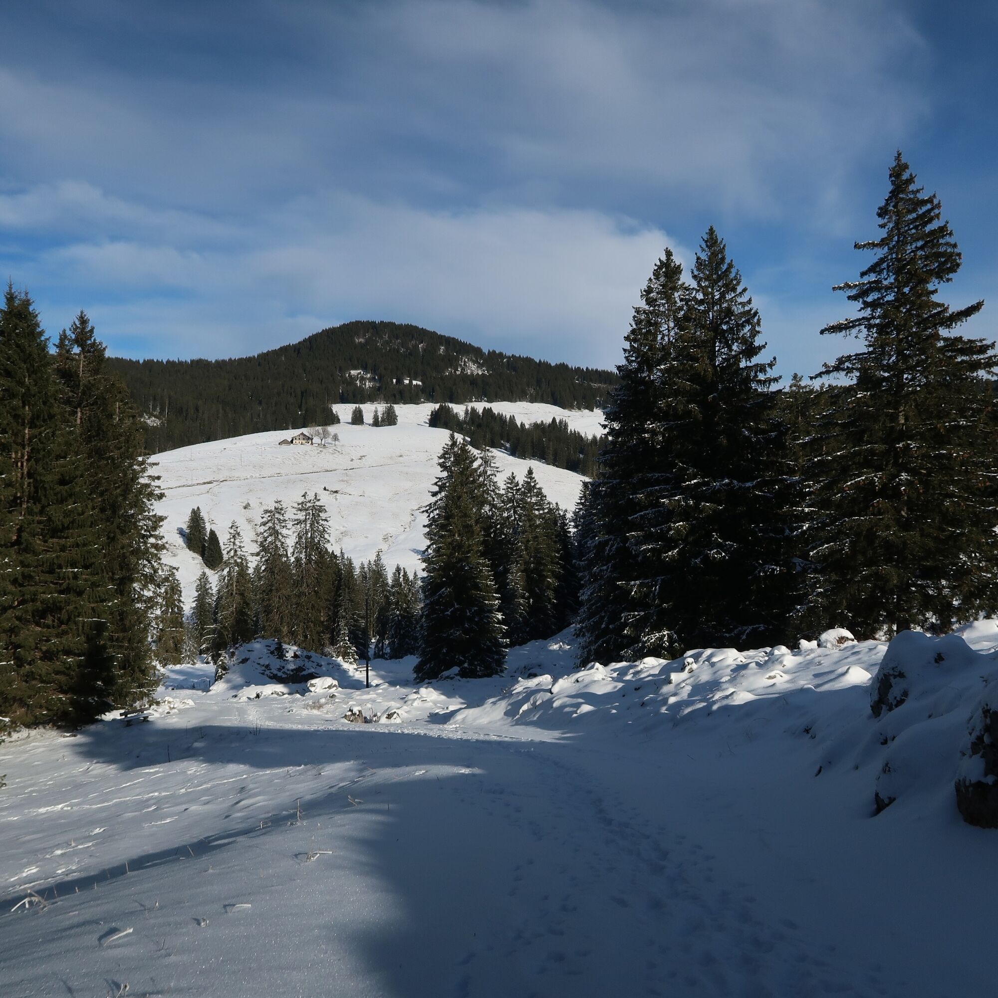
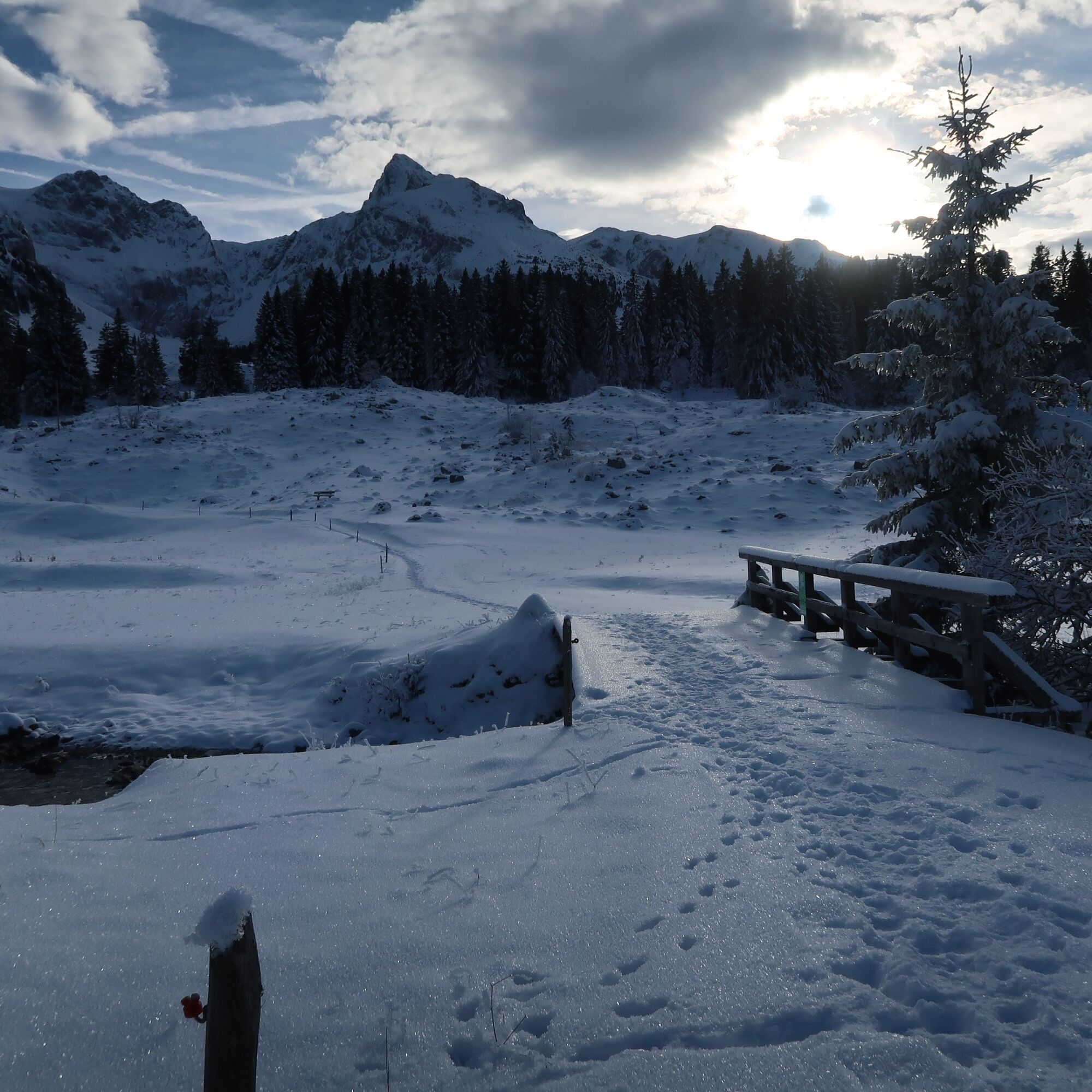
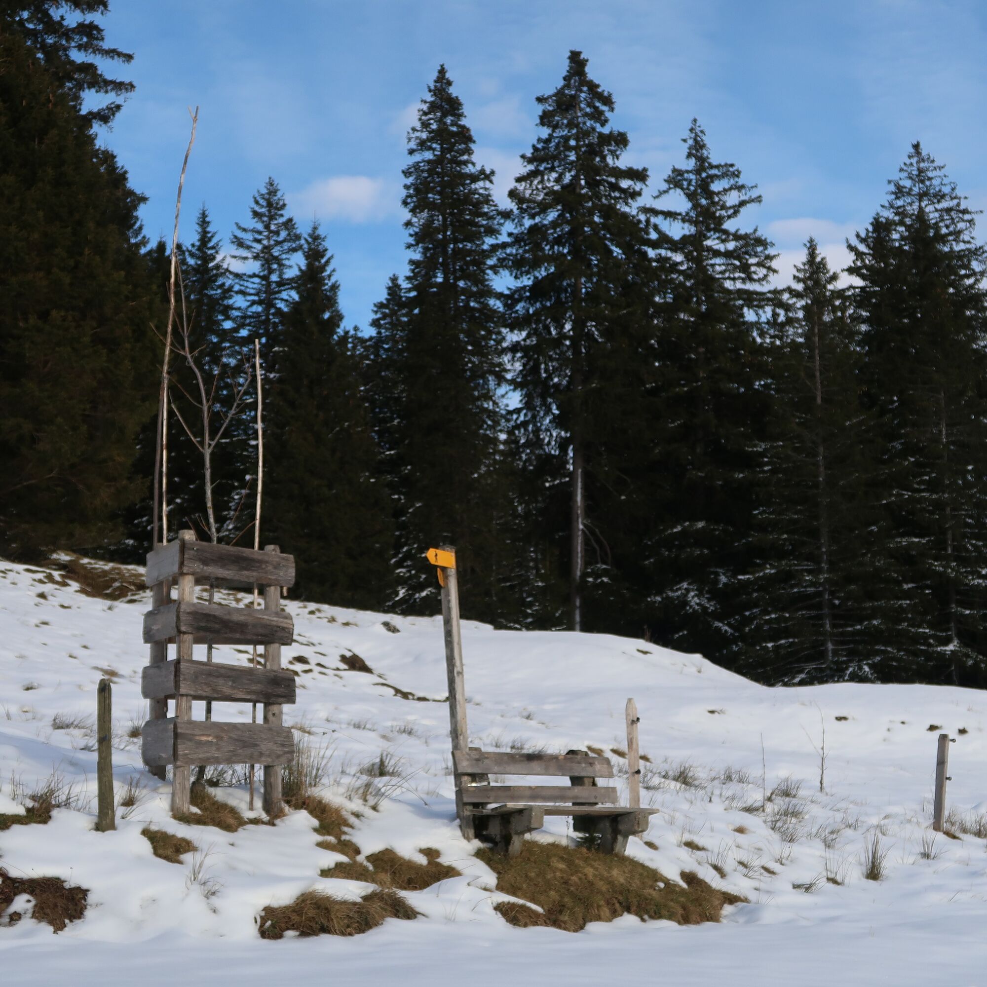
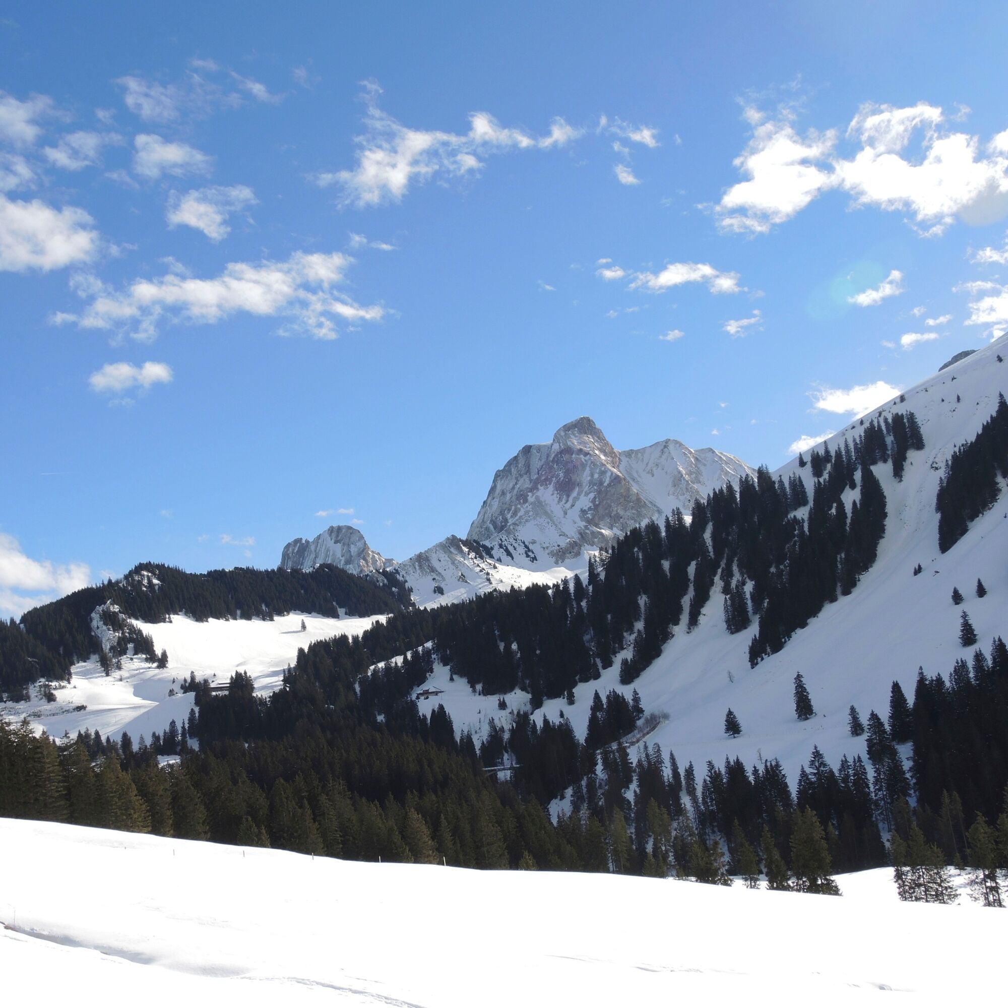
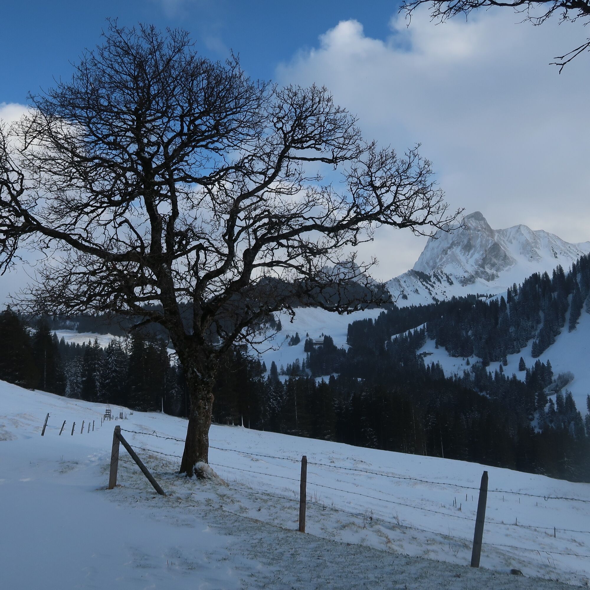
The first section leads slightly downhill over the hilly Fischbödeli to the bridge over the Gantrischsense. Now the trail climbs gently and very sunny to the Oberi Walehütte with its magnificent maples in front of the alpine hut. The views as far as the Freiburger Berg and the nearby Gantrisch range get better and better. Following the yellow hiking trail posts and signposts, you reach the junction with the cross-country ski trail, which you now follow on the right-hand side in an easterly direction. Cross-country skiers have right of way on this section and hikers walk along the edge or next to the tracks. At the first opportunity, you leave the trail to the right via a wide forest path and reach the Türliboden parking lot or the watershed. Take care when crossing the road.
The ski lift restaurant or Kasper's kiosk is now not far away, but the Wasserscheidi post bus stop is also soon reached. It is also possible to continue along marked routes, such as the Selibühl panorama trail or the Selibühl winter hiking trail. A hiking trail also leads above the road to the Untere Gantrischhütte. This section may only be used without winter sports equipment due to wildlife protection regulations.


Clothing suitable for the weather
Equipment rental:
(self-service at the cross-country ski rental)
Schwarzenbühl Kurhaus (self-service at the cross-country ski rental)
Gantrisch Bike & Sport, Riggisberg
Arrival
Start: Sangernboden, Schwefelbergbad SBB timetable
End: Gurnigel, Wasserscheide SBB timetable
The tour can be completed conveniently by public transport from Bern on PostBus line 323. We recommend the connection that arrives at Schwefelbergbad at 9.19 am. After completing the route, you can take the bus back at 13.11 from Gurnigel, Wasserscheide.
Webové kamery z prohlídky
Získejte přehled
Vždy živě na místě s více než 9 500 webkamerami. bergfex Jako uživatel Pro si nyní můžete zobrazit odpovídající webové kamery pro mnoho prohlídek v aplikaci prohlídky z. Můžete si tak přímo prohlédnout aktuální podmínky.
Oblíbené prohlídky v okolí
-
4.6
Gantrisch Summit Hike, 2176 m elevation
středníTuristika 9.13 km -
4.8
Wasserscheide - Gantrisch Seeli
světloTuristika 9.33 km -
4.0
High-altitude hike Gurnigel - Stockhorn
středníTuristika 11.2 km -
3.6
Breccaschlund Panorama Trail (Switzerland Mobility 267)
středníTuristika 12.9 km -
5.0
Lake Schwarzsee circular route (SwitzerlandMobility 787)
světloZimní turistika 4.10 km -
4.7
Summit hike Ochsen, 2188 m above sea level
středníTuristika 7.94 km -
4.7
Schwarzsee-Rundgang Häxewääg
světloTematická stezka 4.10 km -
Riggisalp-Brecca-Schwarzsee Gypsera
středníTuristika 10.1 km -
4.5
Vreneli Trail Guggisberg
středníTematická stezka 5.35 km -
5.0
Oberstockenalp
světloTuristika 6.26 km
Pěší turistika a stopování


Nenechte si ujít nabídky a inspiraci pro vaši příští dovolenou
Vaše e-mailová adresa byl přidán do poštovního seznamu.





