


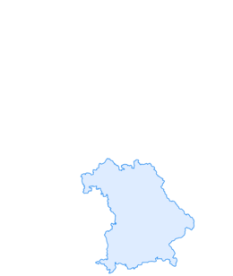

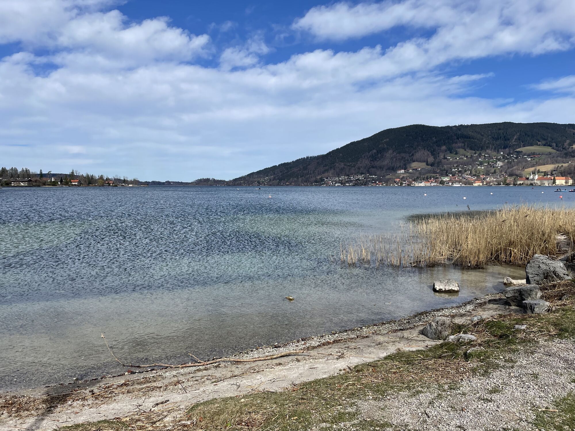
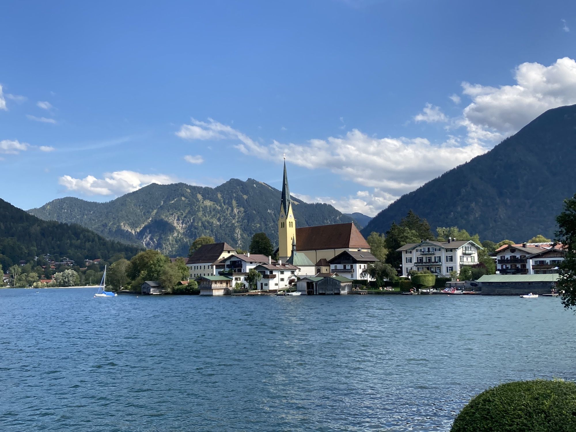
From Rottach-Egern to Bad Wiessee
Úroveň obtížnosti: 1
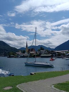
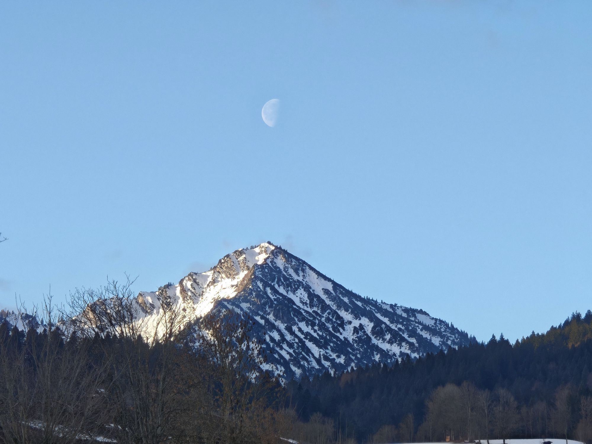
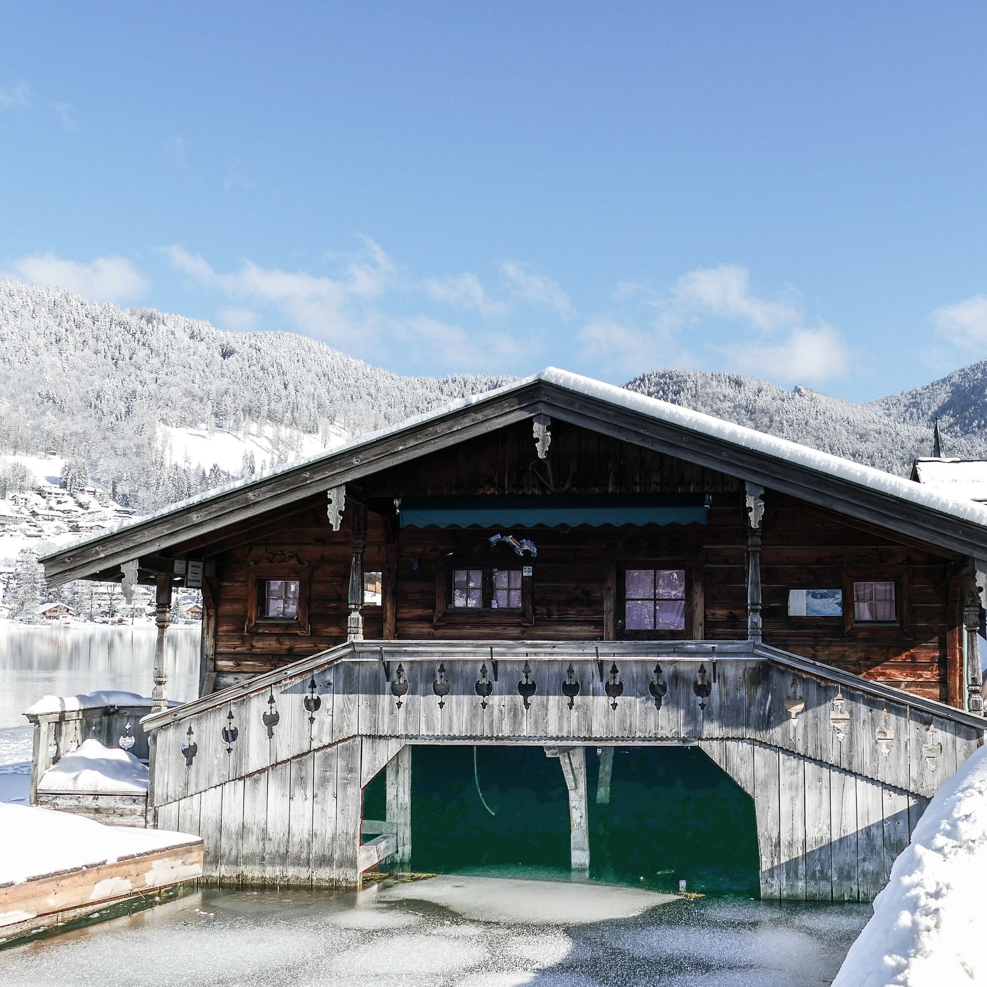
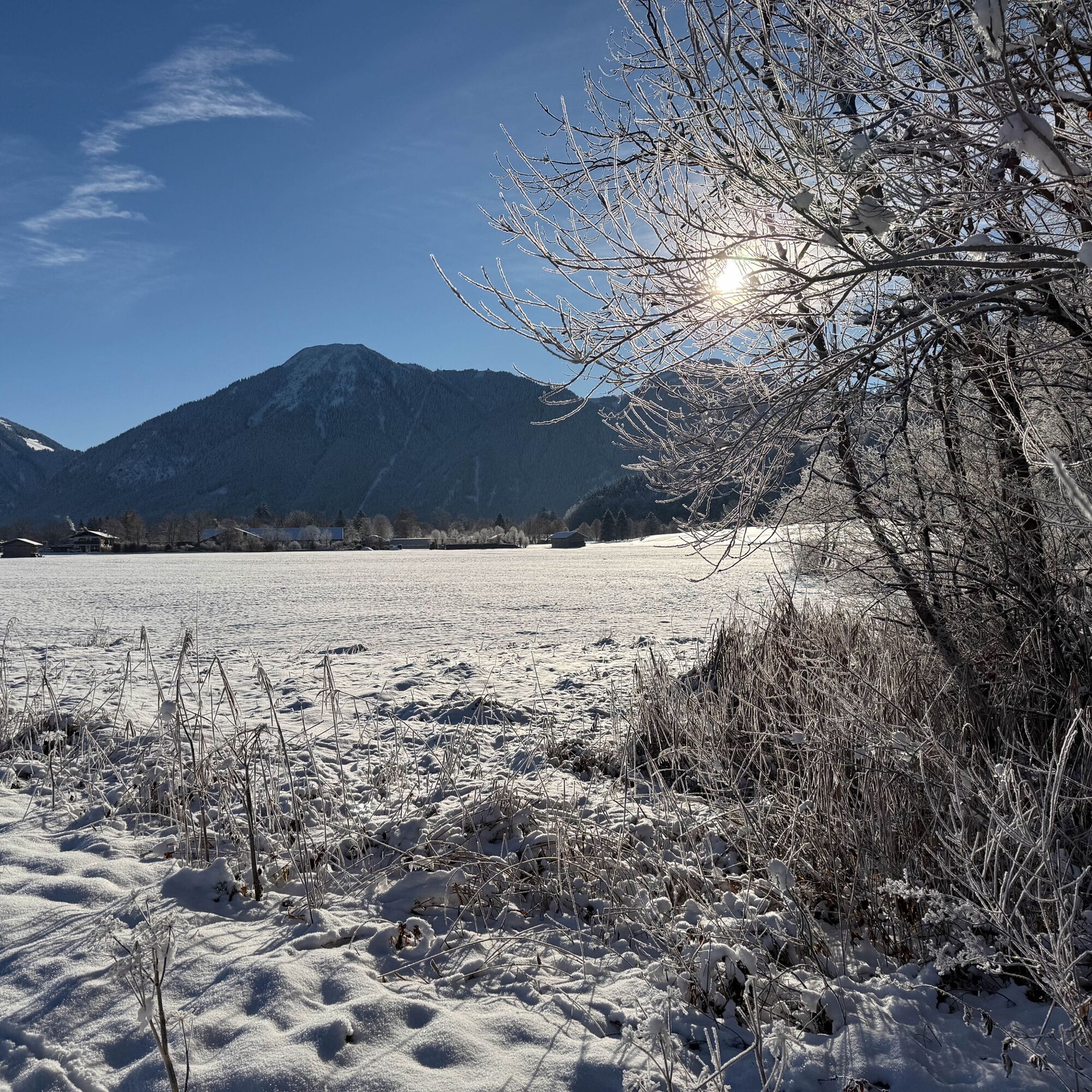
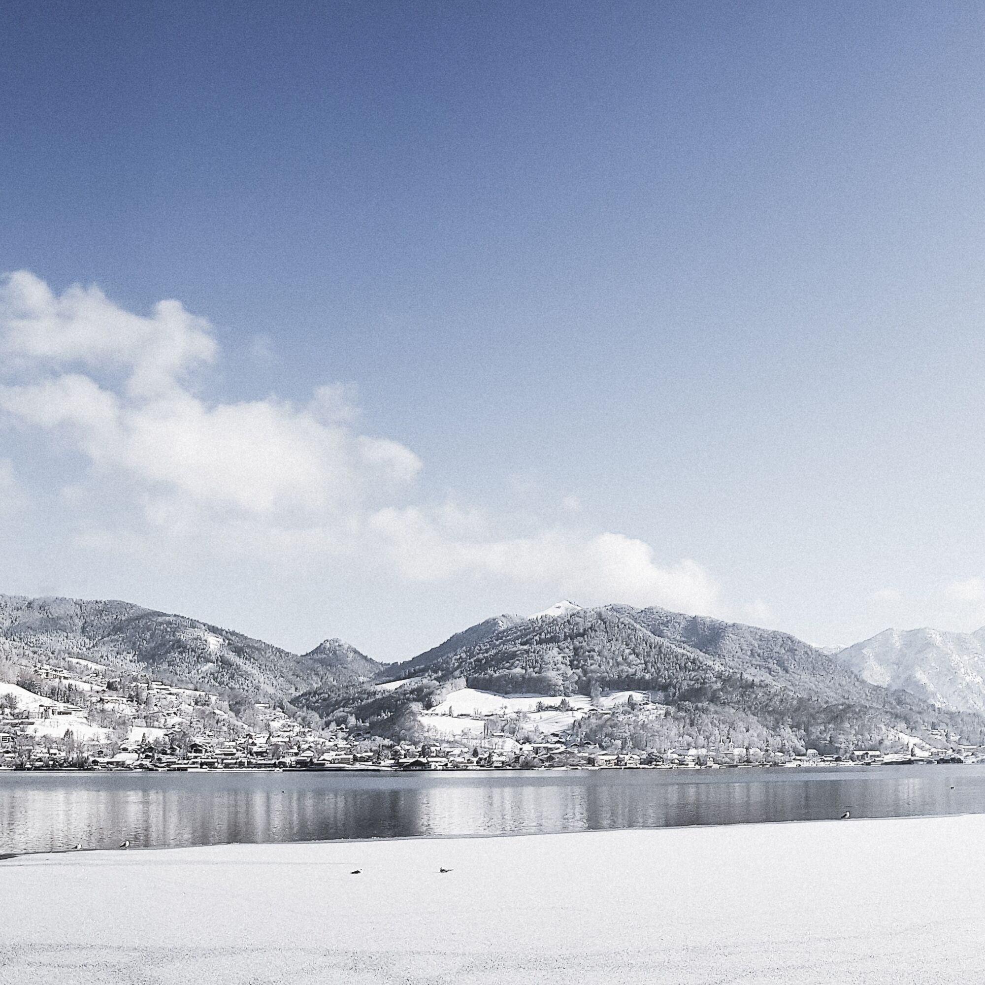
Fotografie našich uživatelů
 © Marcus DürrVytvořeno dne 23.07.2025
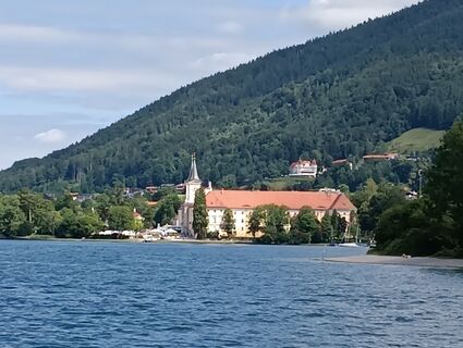 © Marcus DürrVytvořeno dne 23.07.2025
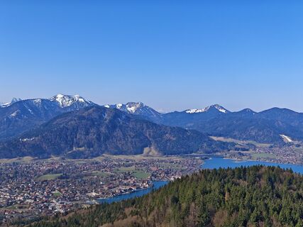
 © Michi SteiertVytvořeno dne 22.03.2026
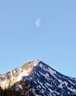 © Michi SteiertVytvořeno dne 08.02.2026
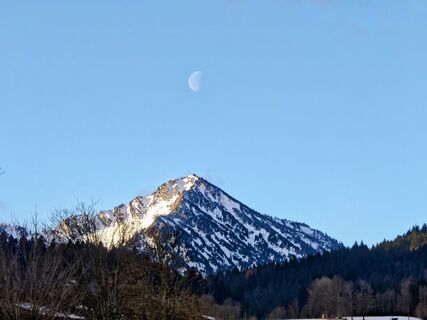 © Michi SteiertVytvořeno dne 08.02.2026
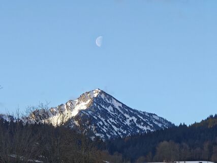 © Michi SteiertVytvořeno dne 08.02.2026
 © Yannick SchmidlVytvořeno dne 03.03.2024
 © Helmut ScheurerVytvořeno dne 05.09.2020


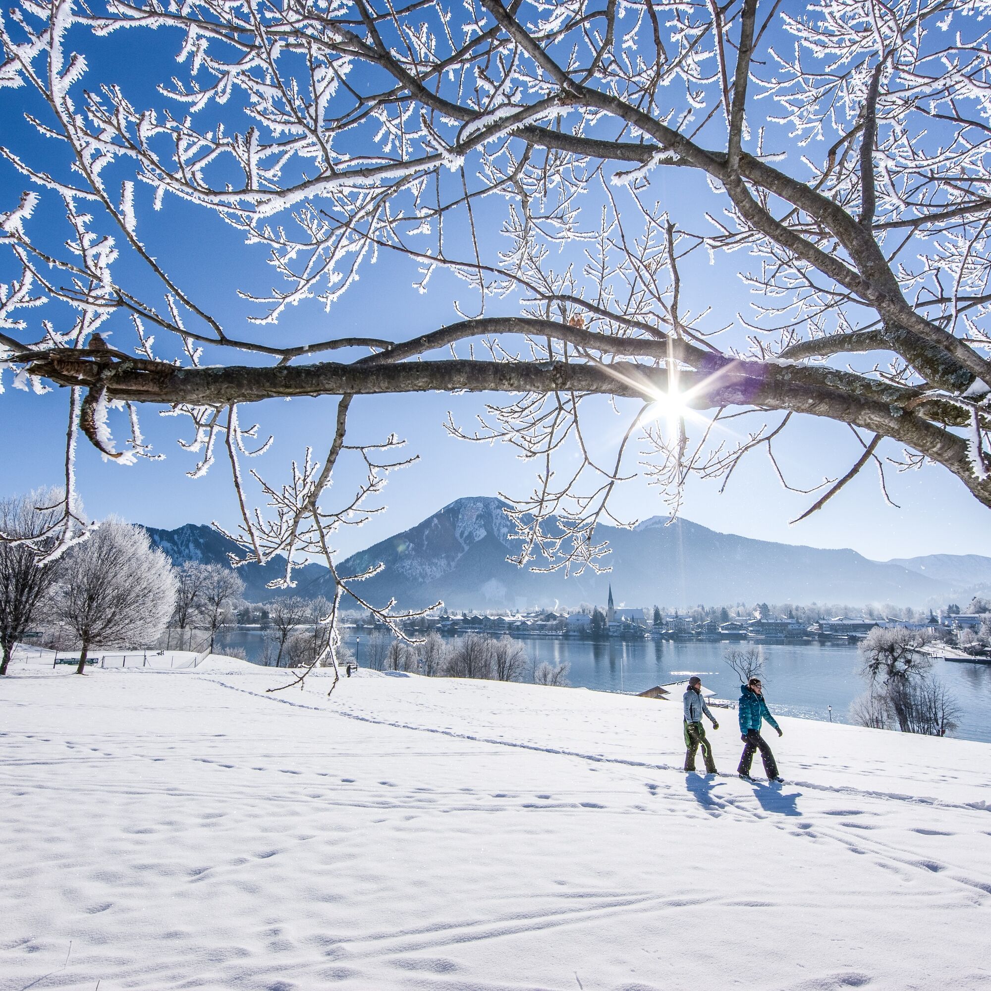
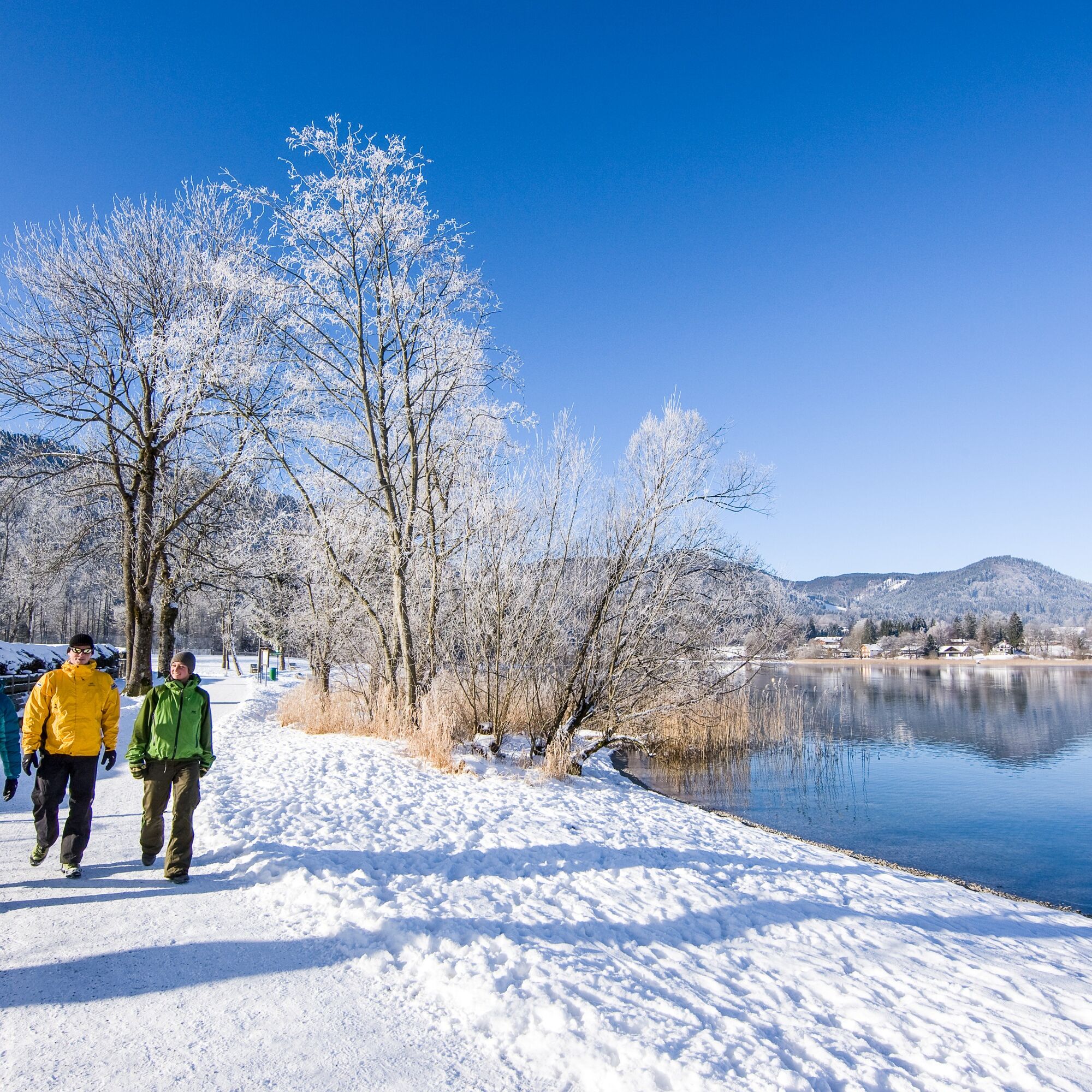
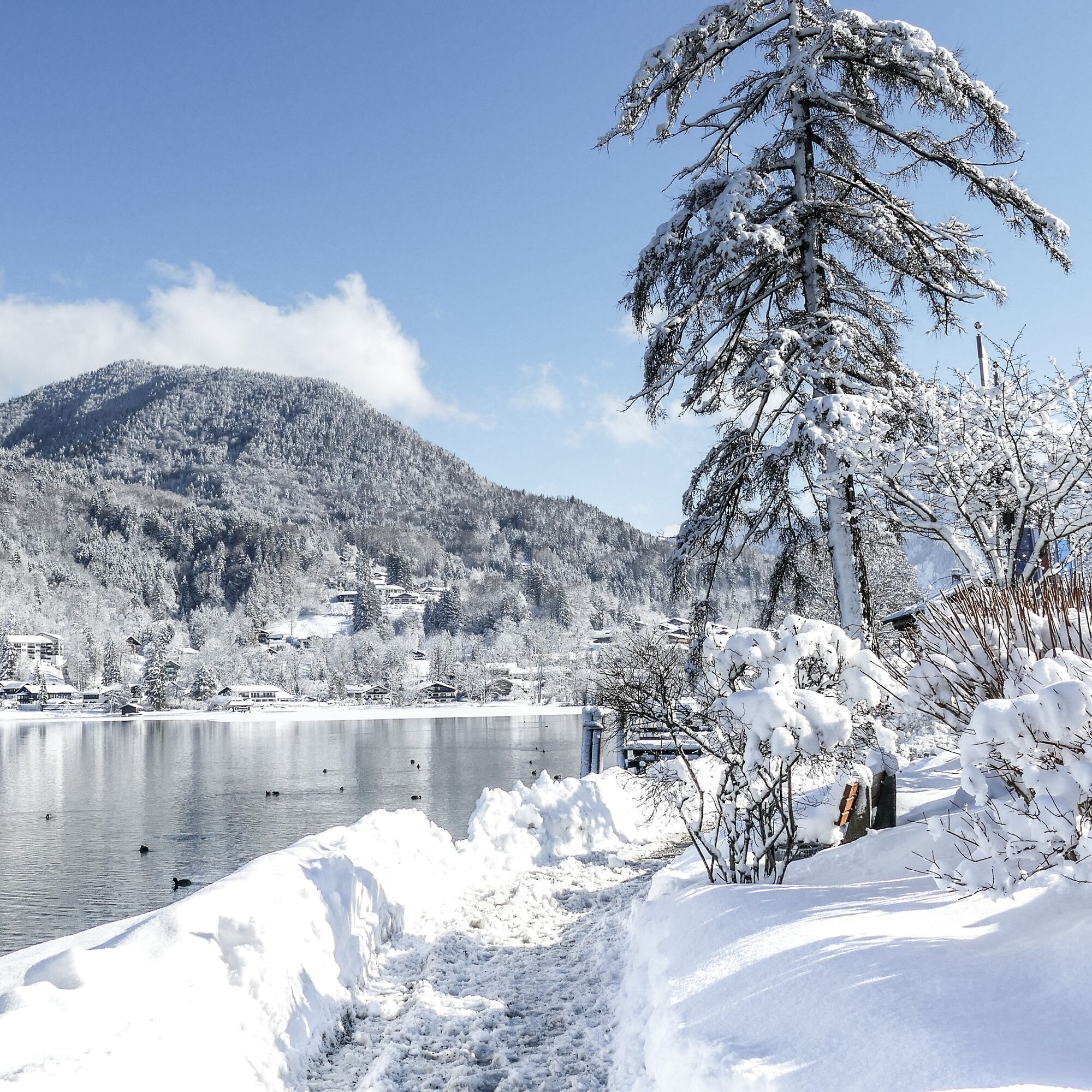
The path is accessible all year and cleared in winter.
In the snow-free season, it is suitable for strollers.

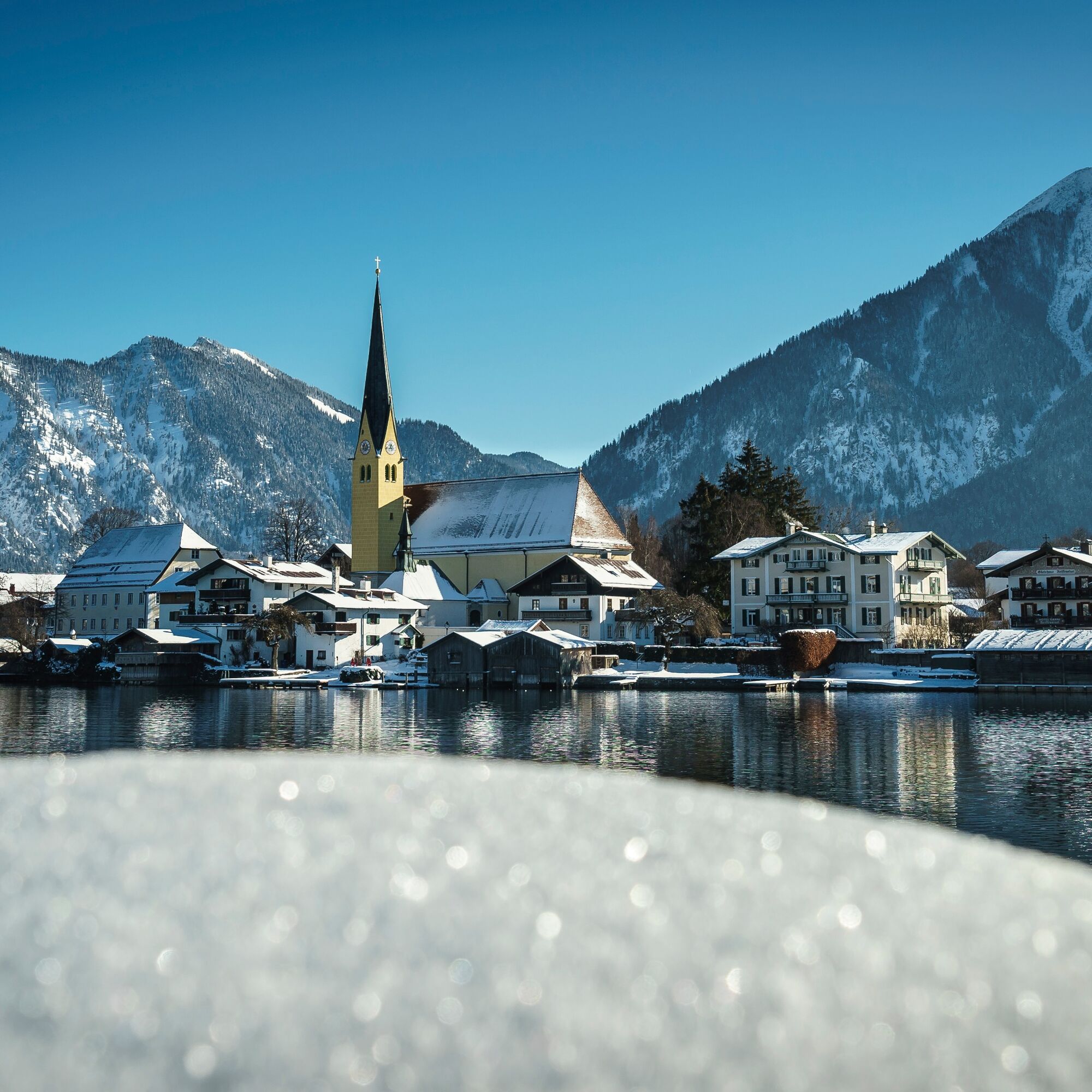

First, we follow Seestraße, past the Kurpark and the Seehotel Überfahrt, always continuing along the lake (Ganghoferstraße). Wonderful views back to Rottach-Egern and the Malerwinkl included! We cross the Weißach and follow the hiking trail towards Ringsee. Soon we reach the main road and follow it to the right on a separate foot and cycle path. Shortly after, we can turn right and follow the Ringseeweg to Abwinkl and Alt-Wiessee. Then you can either start your return from Abwinkl or from the Kurpark in Bad Wiessee with the Tegernsee boat service.
Ano
Ano
Sturdy footwear as well as weather-appropriate clothing, possibly a rain jacket.
All information without guarantee. Walking and cycling the routes described here is at your own risk.
A8 to the Holzkirchen exit, then via B318 to Rottach-Egern
Take the MVV to Rottach-Egern, bus stop "Post".
Return to the starting point in Rottach-Egern is free with the guest card.
The Ringline runs from the bus stop "Lindenplatz" via Rottach-Egern to the train station in Tegernsee.
Rottach-Egern, central car park
1
Webové kamery z prohlídky
Wallbergbahn
Ödberg Talstation
Kreuth
Tegernsee
Hirschberglifte
Wallberg - Wallbergkircherl
Prasserbad - Rottach-Egern am Tegernsee
Rottach - Egern / Cafe Angermaier
Sonnenbichl Bergstation
Kreuth
Tegernsee West
Wallbergbahn
Wallbergbahn
Wallbergbahn
Wallbergbahn
Wallbergbahn
Ödberg Bergstation
Ödberg Sommerrodelbahn
Yacht-Club Bad-Wiessee e.V.
Oblíbené prohlídky v okolí
- 5,0
Summit route to the Wallberg
středníTuristika 12,2 km - 4,8
Lengrieser Hütte
středníTuristika 10,6 km - 4,2
Tegernsee Höhenweg - North
světloTuristika 12,3 km - 4,7
Aueralm/Zwerglberg
středníTuristika 11,9 km - 4,5
Brecherspitze
středníHorská turistika 14,5 km - 4,5
Brecherspitz-Runde auf dem Normalweg Schliersee, Bayern
středníTuristika 11,3 km - 4,7
Rotwand über Schliersee, Deutschland
středníTuristika 15,4 km - 3,7
Aueralm und Fockenstein
středníTuristika 14,1 km - 4,6
Königsalm
středníTuristika 10,0 km - 3,4
Zur Gindelalm und Kreuzbergalm
světloTuristika 8,16 km

Pěší turistika a stopování


Nenechte si ujít nabídky a inspiraci pro vaši příští dovolenou
Vaše e-mailová adresa byl přidán do poštovního seznamu.