







Summit route to the Wallberg

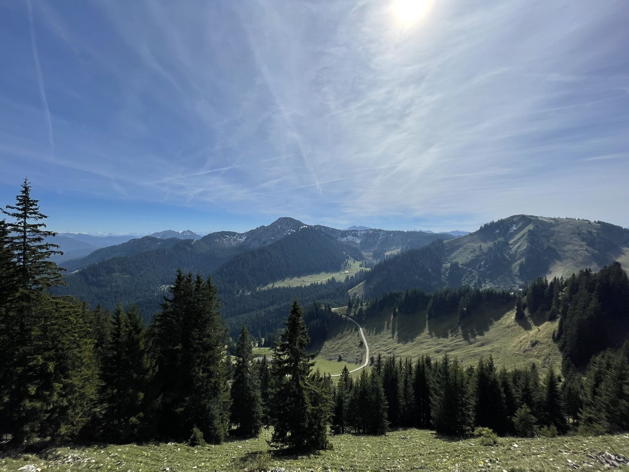
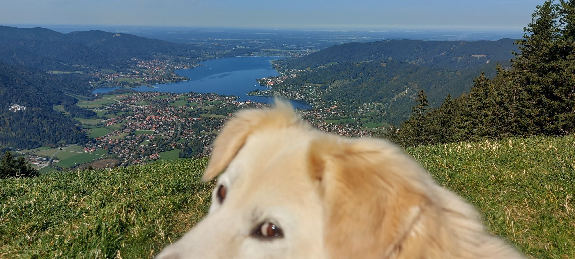
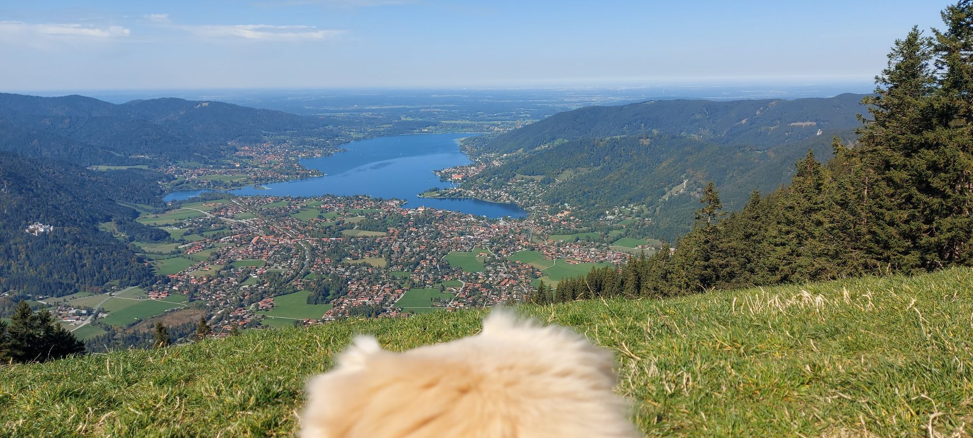
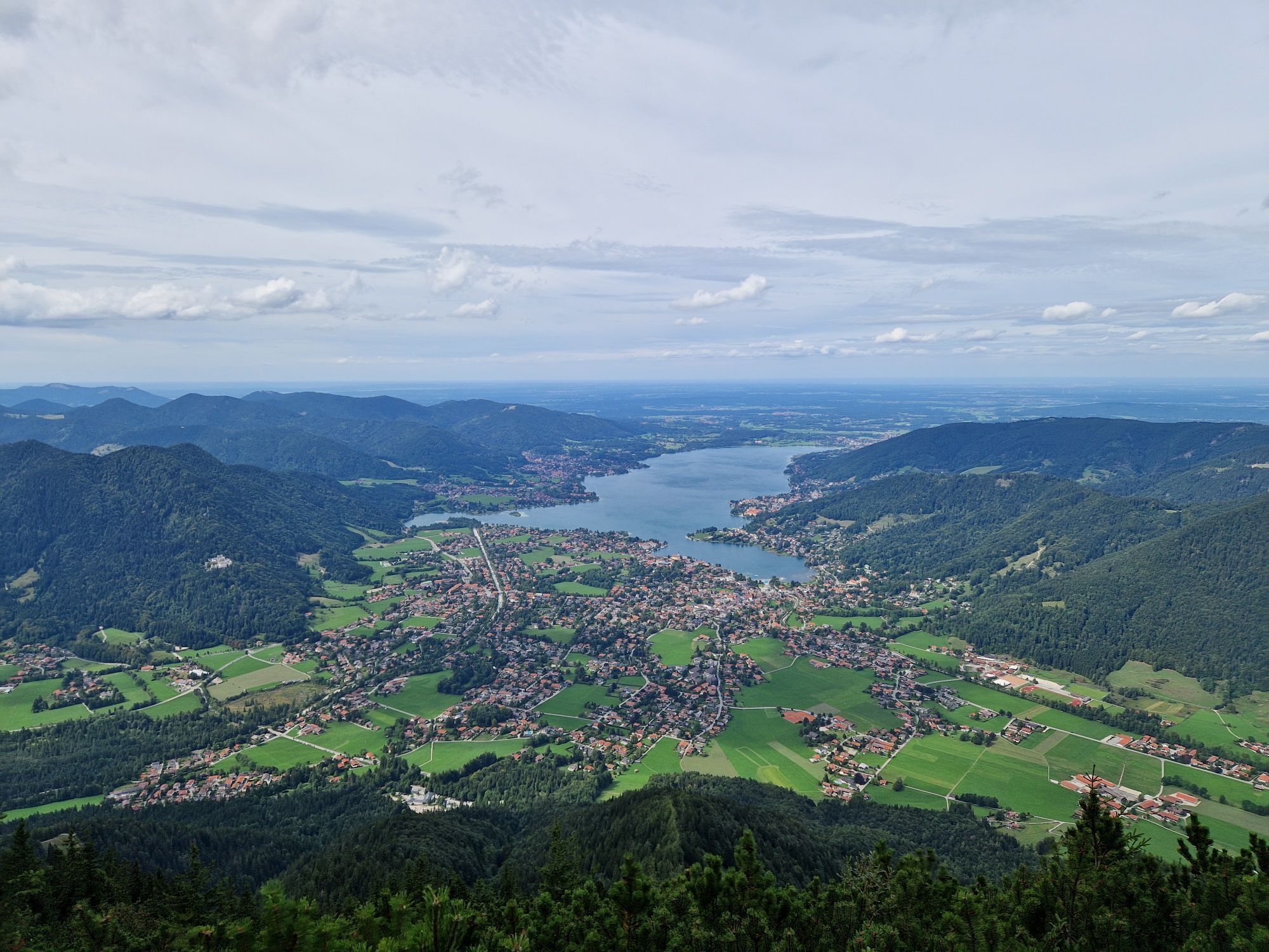
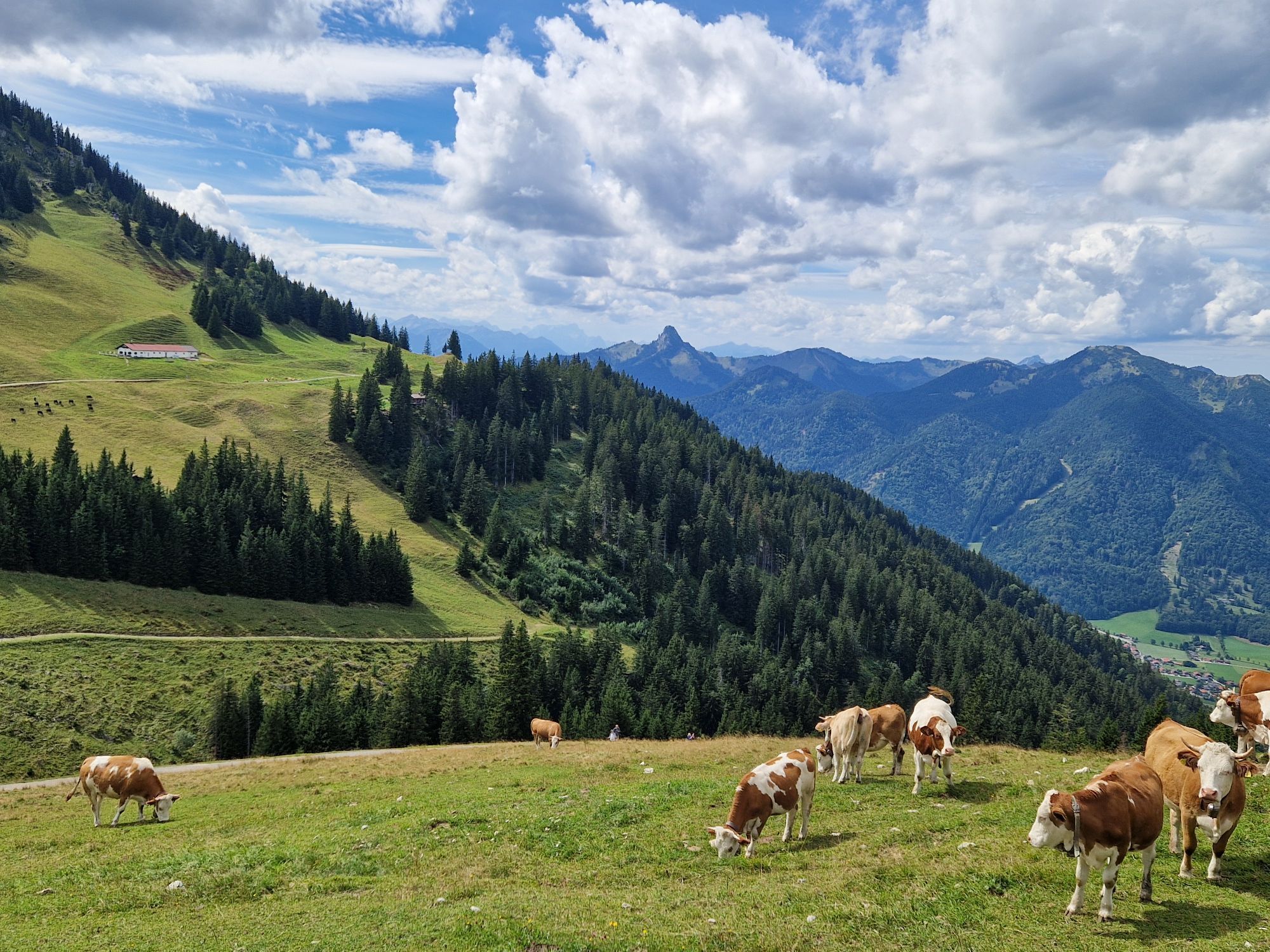
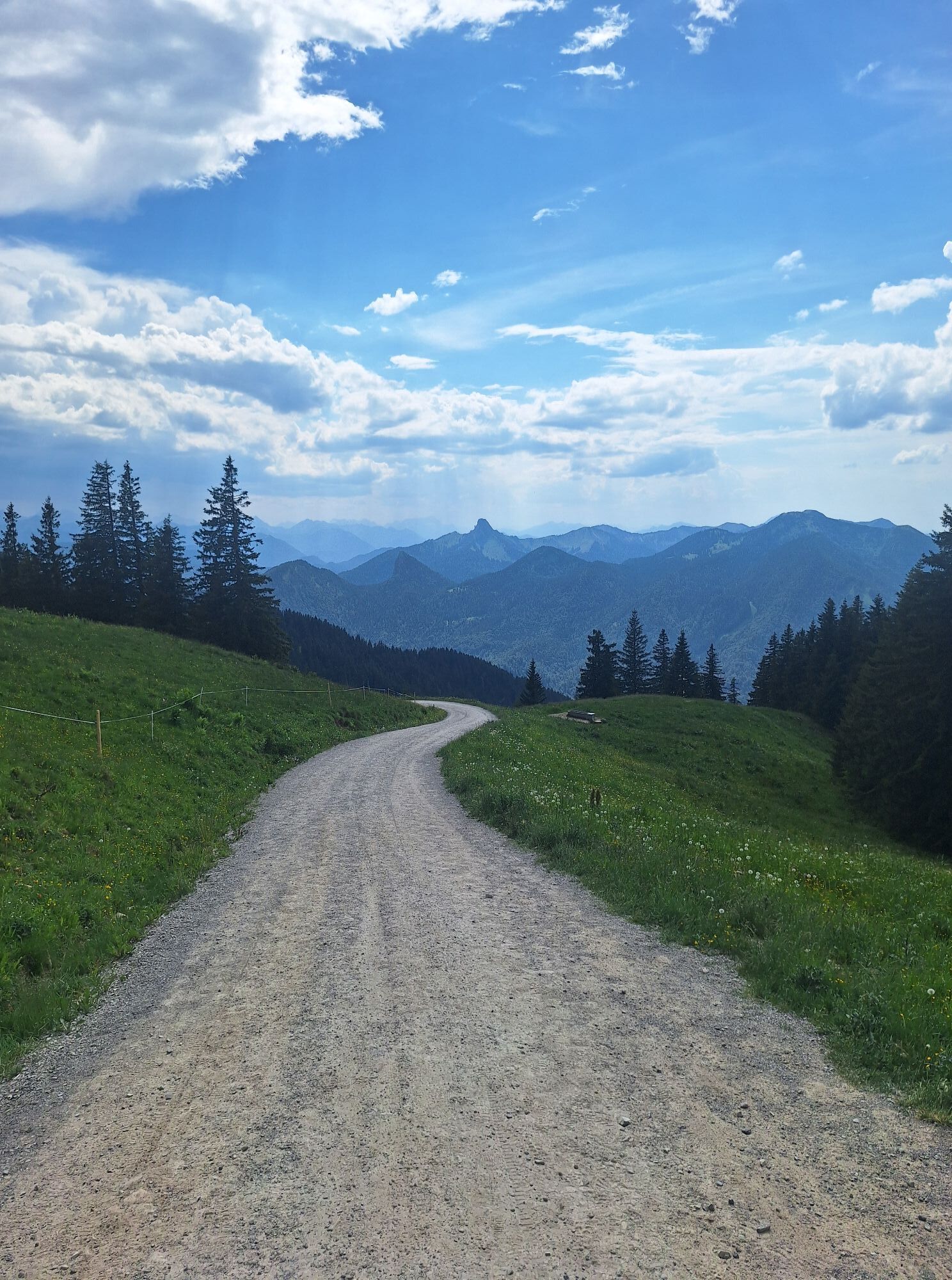
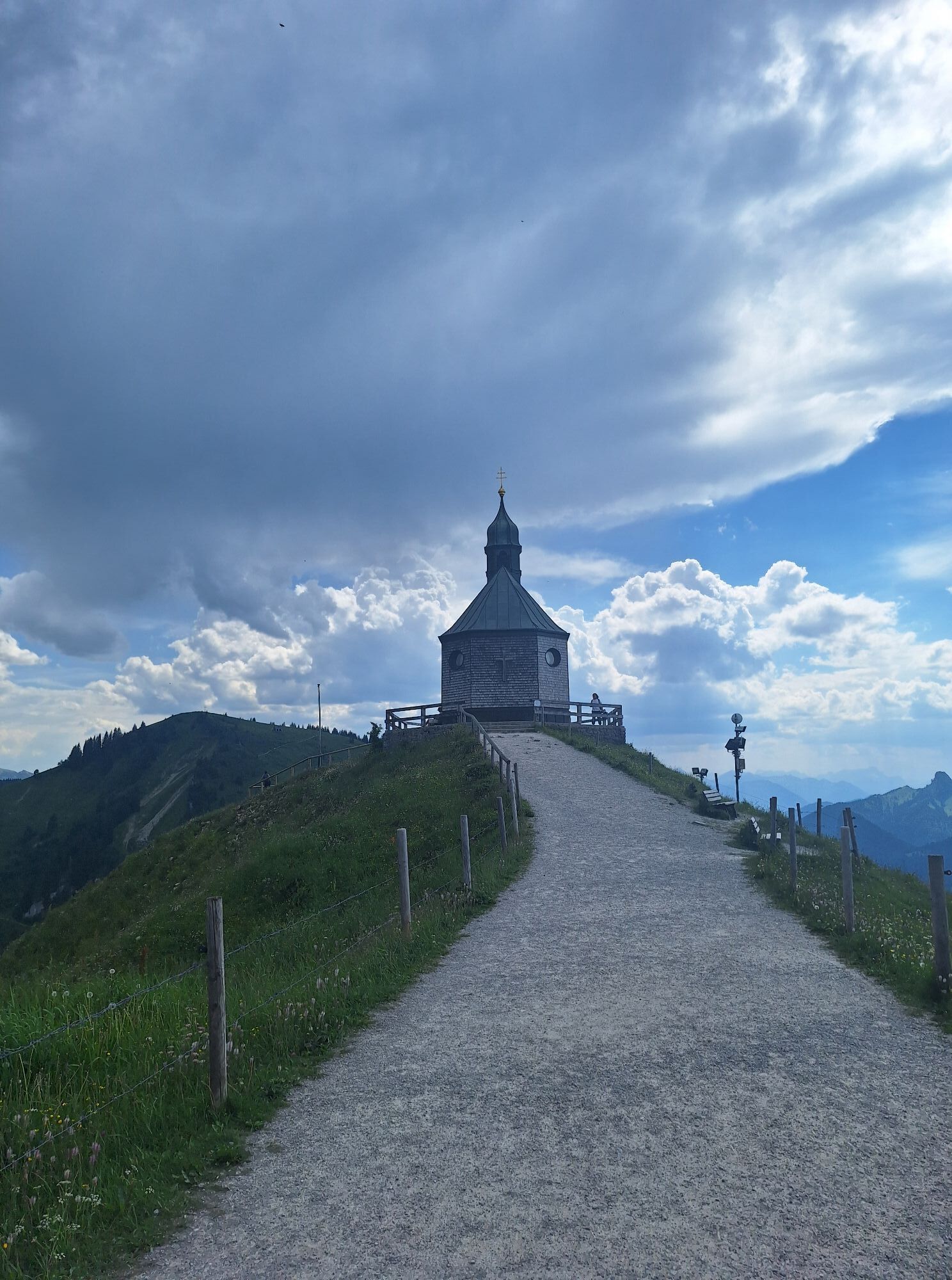
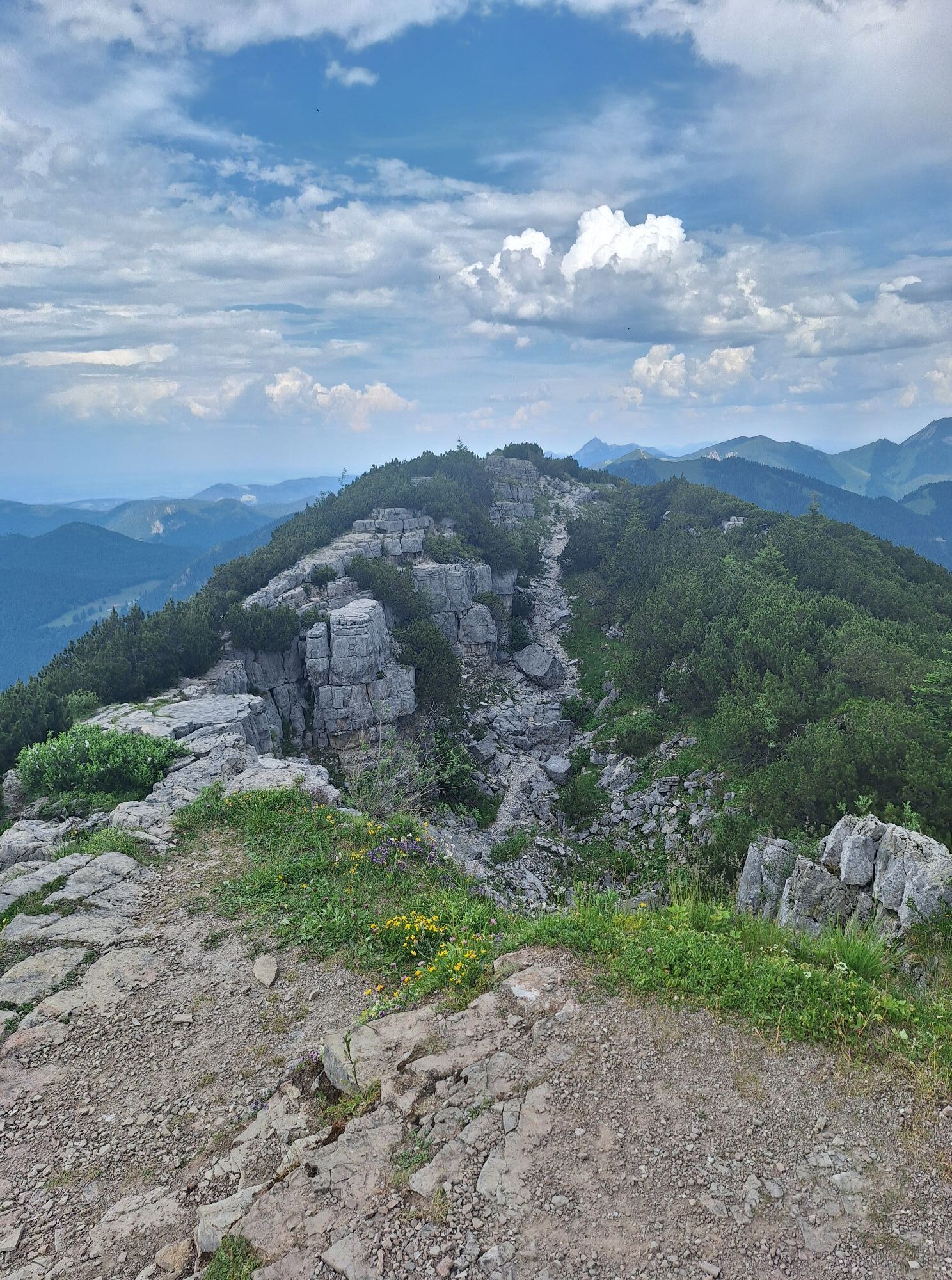
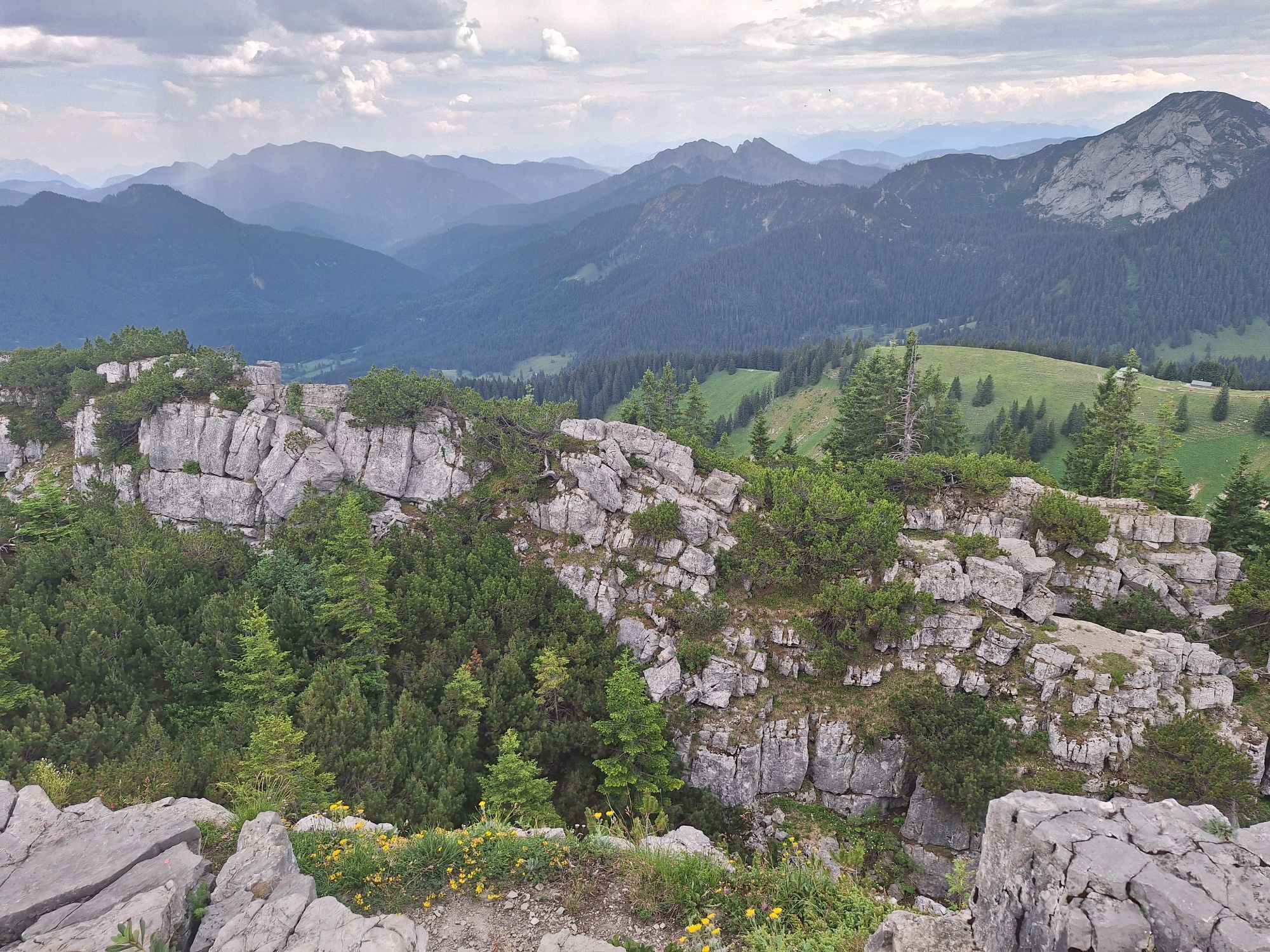
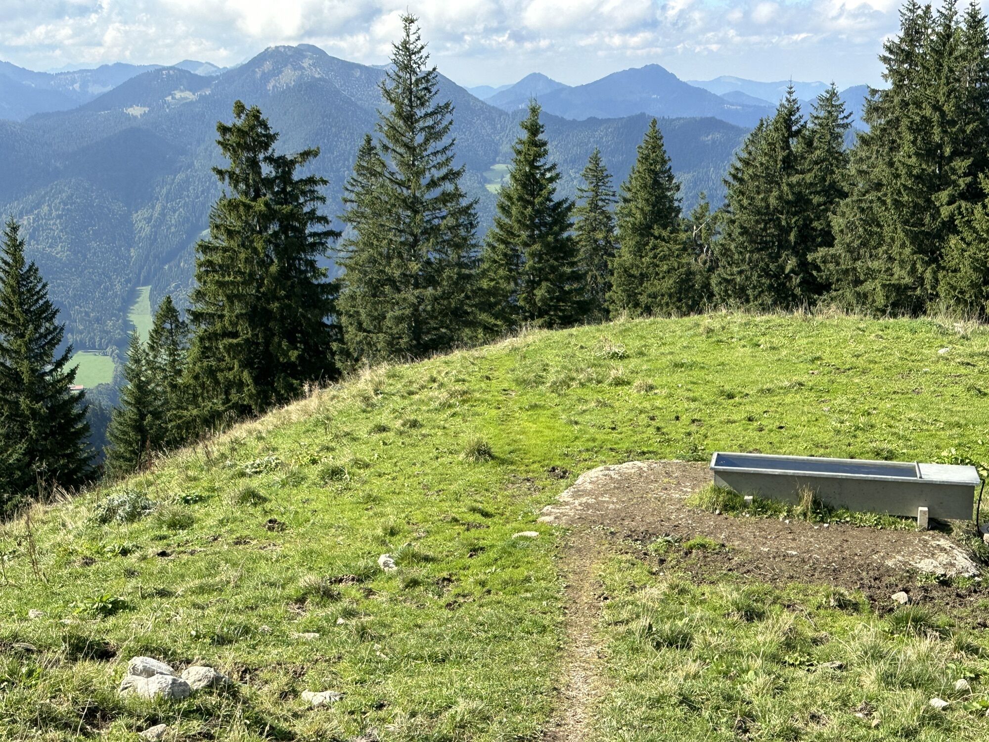
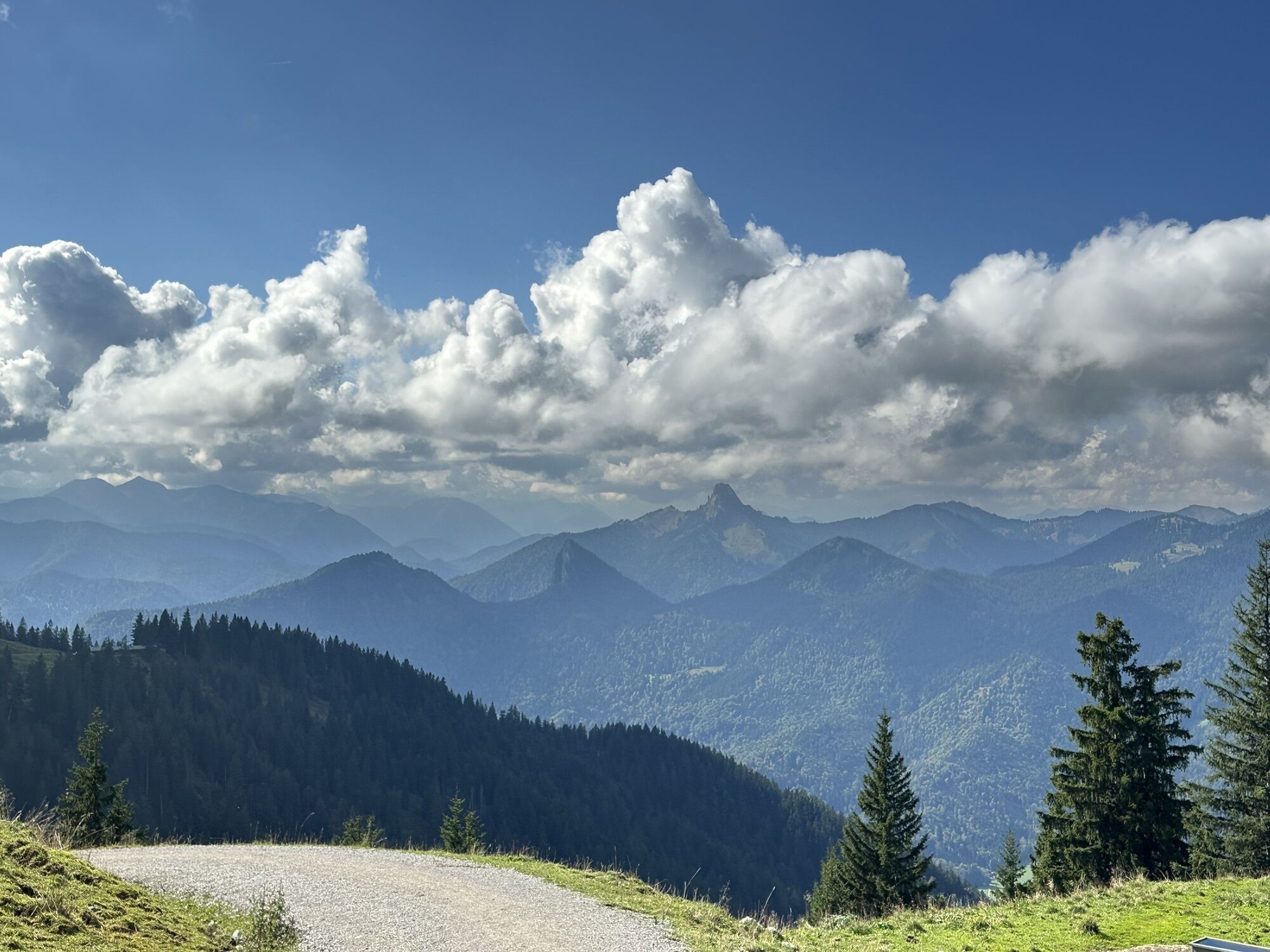
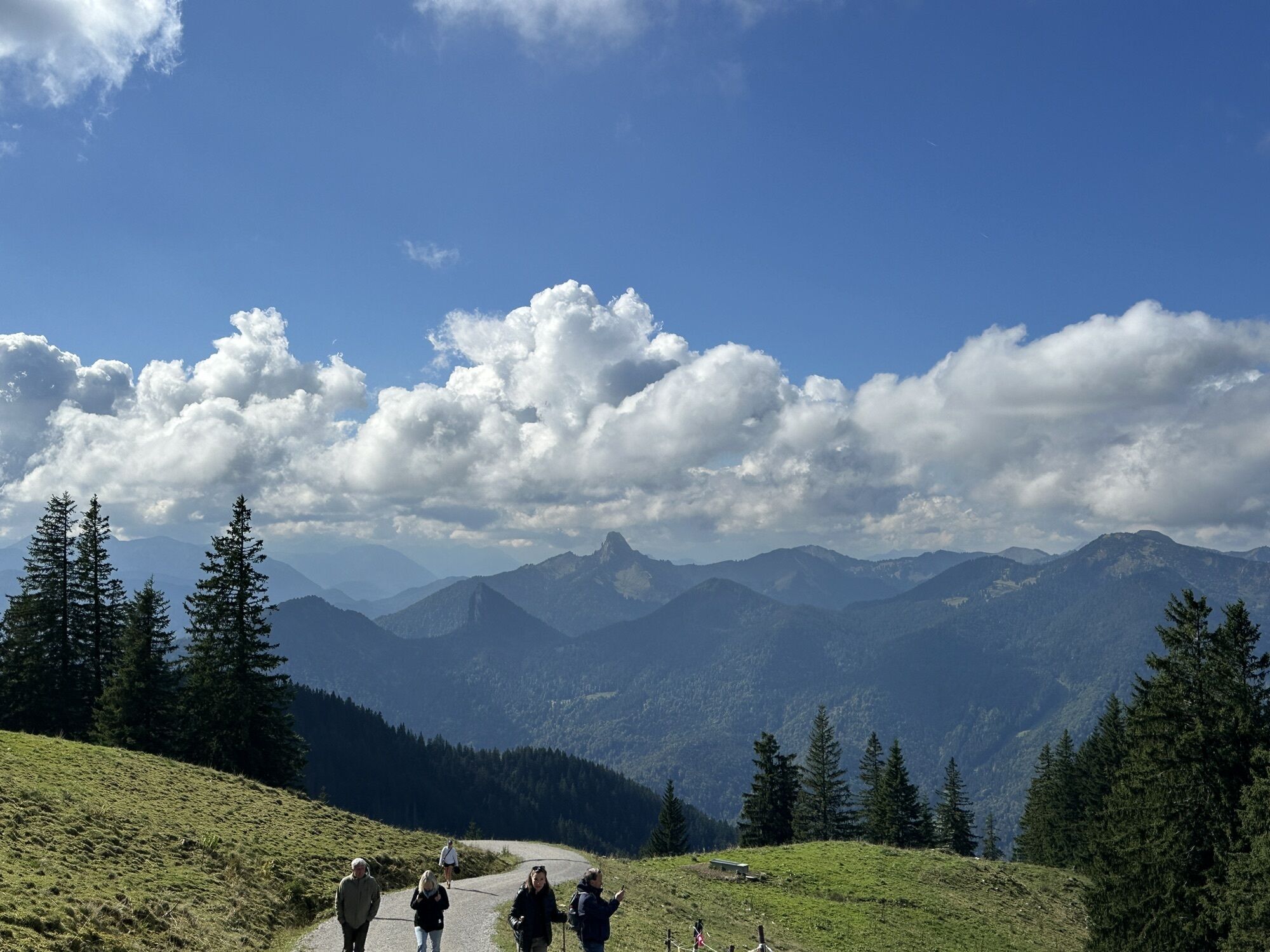
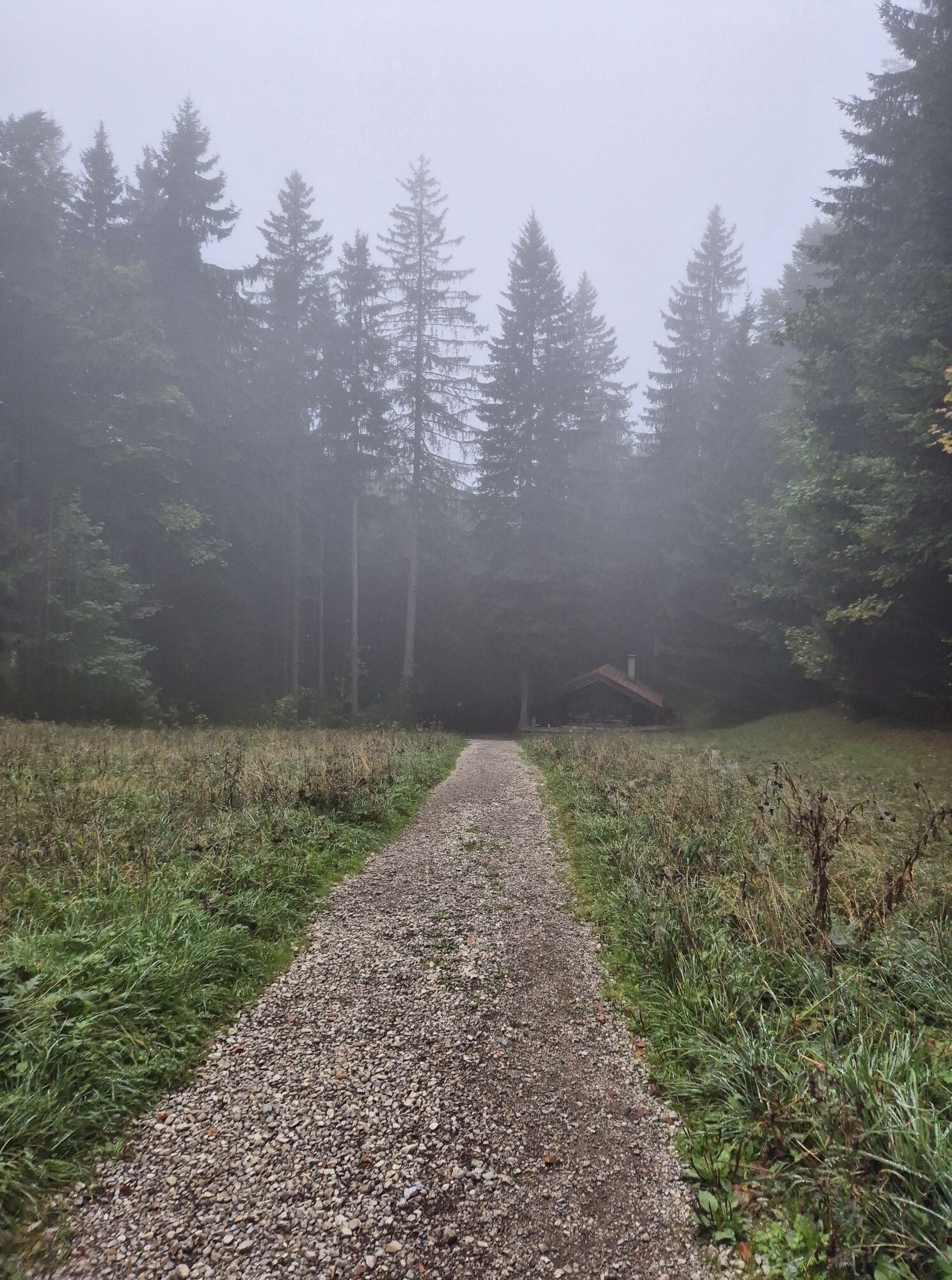
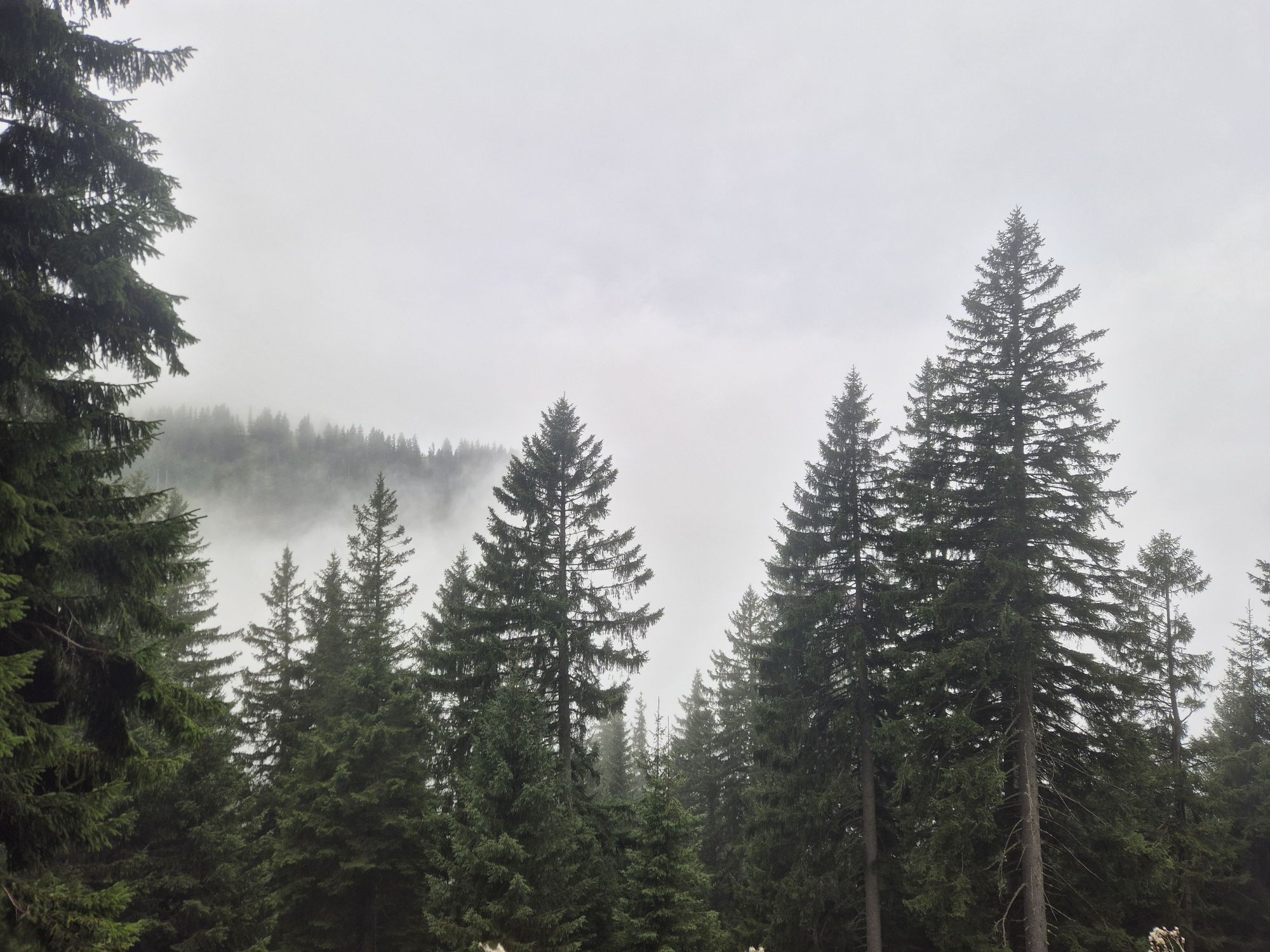
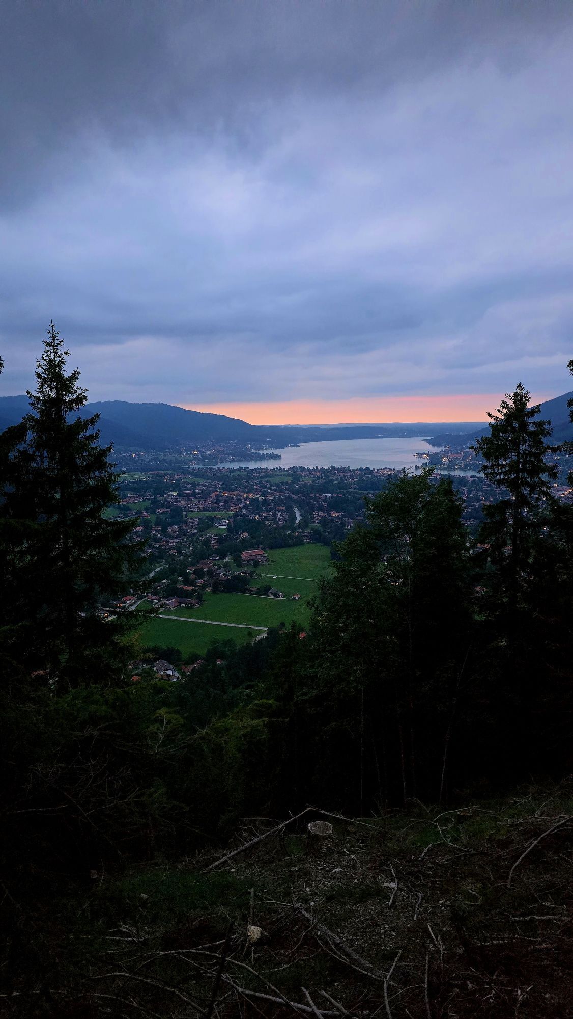
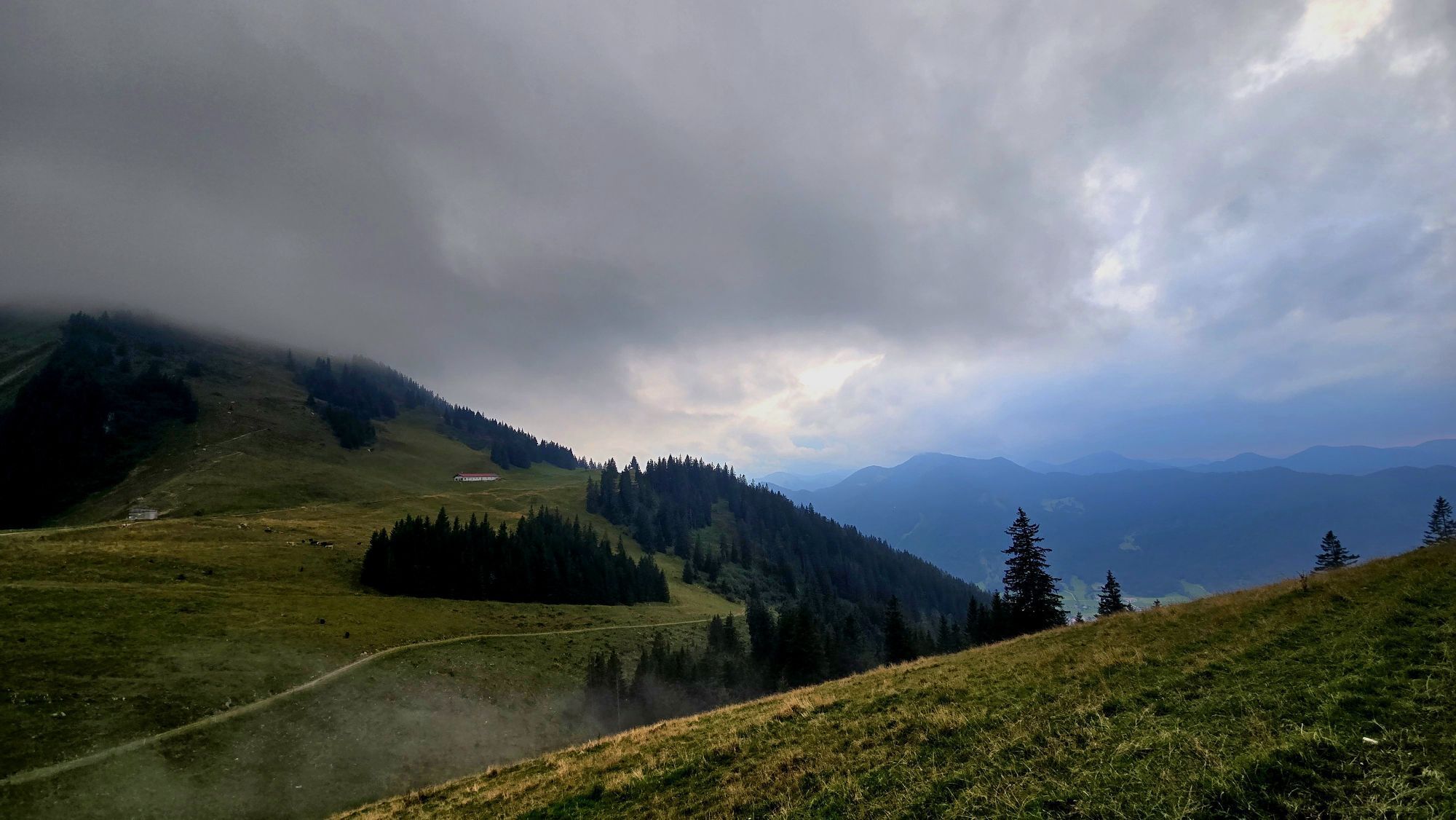
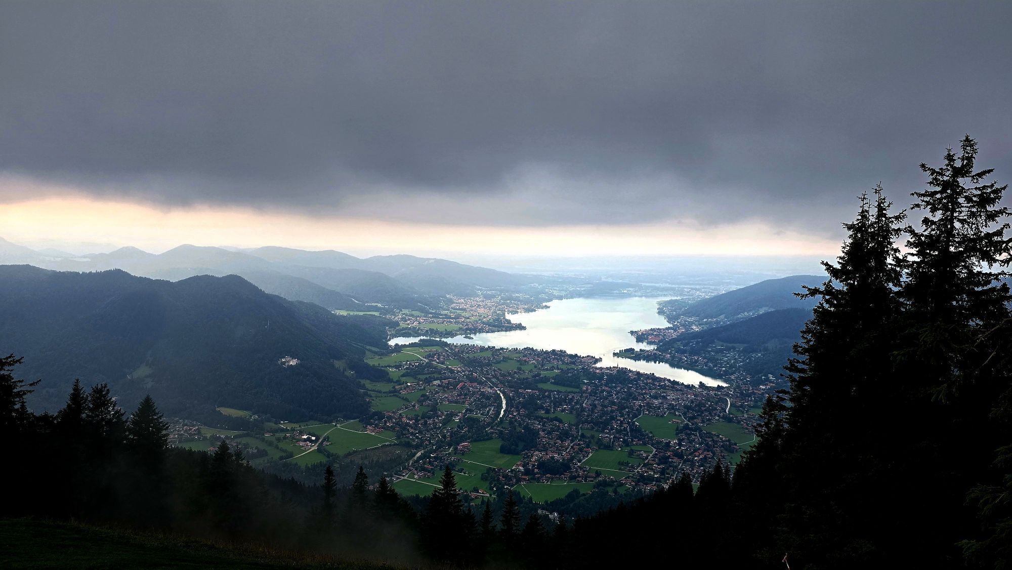
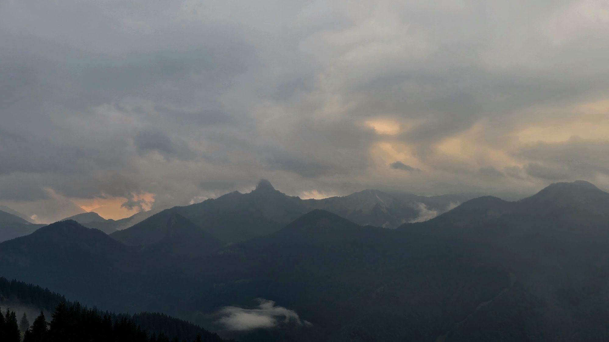
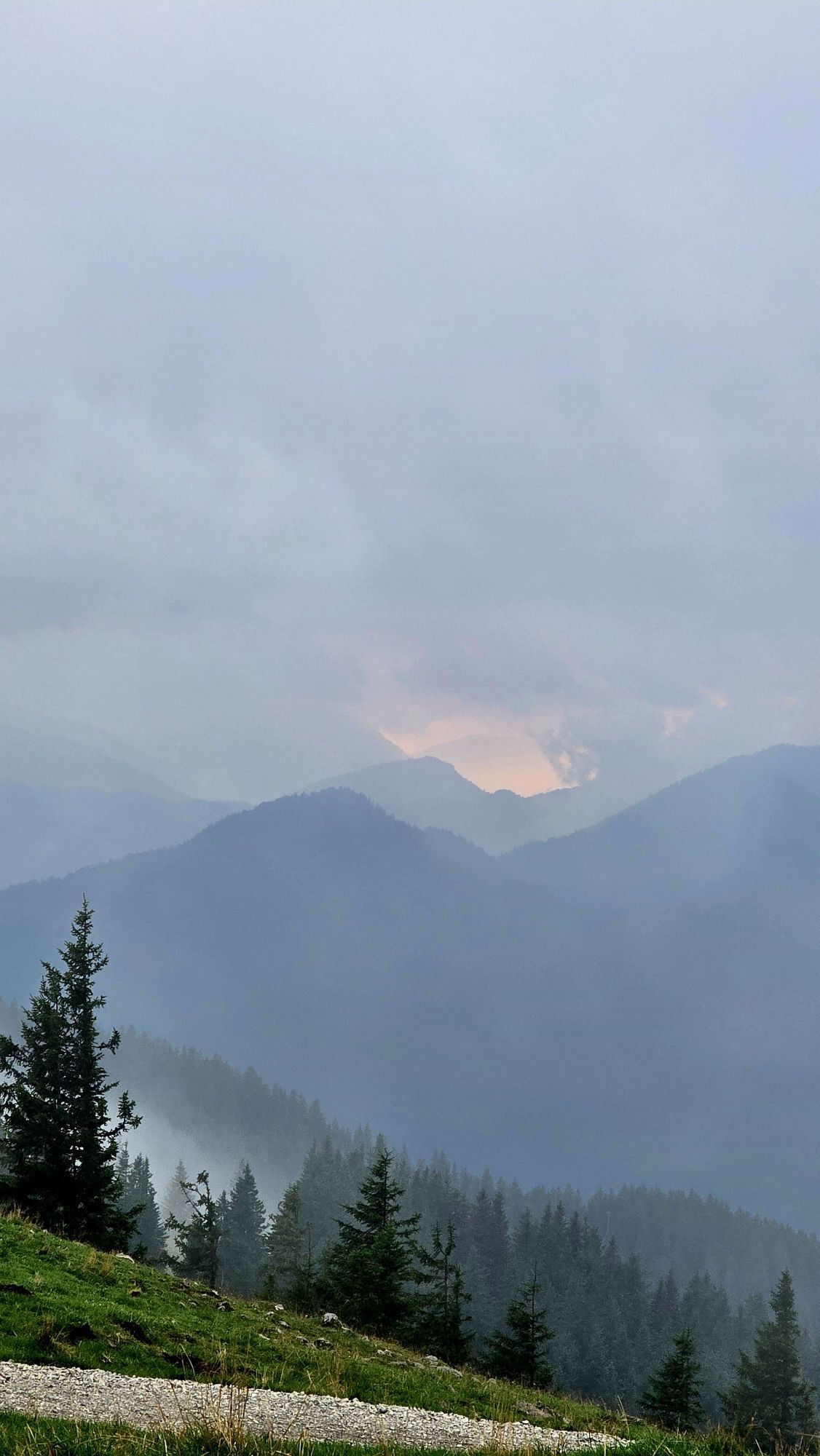
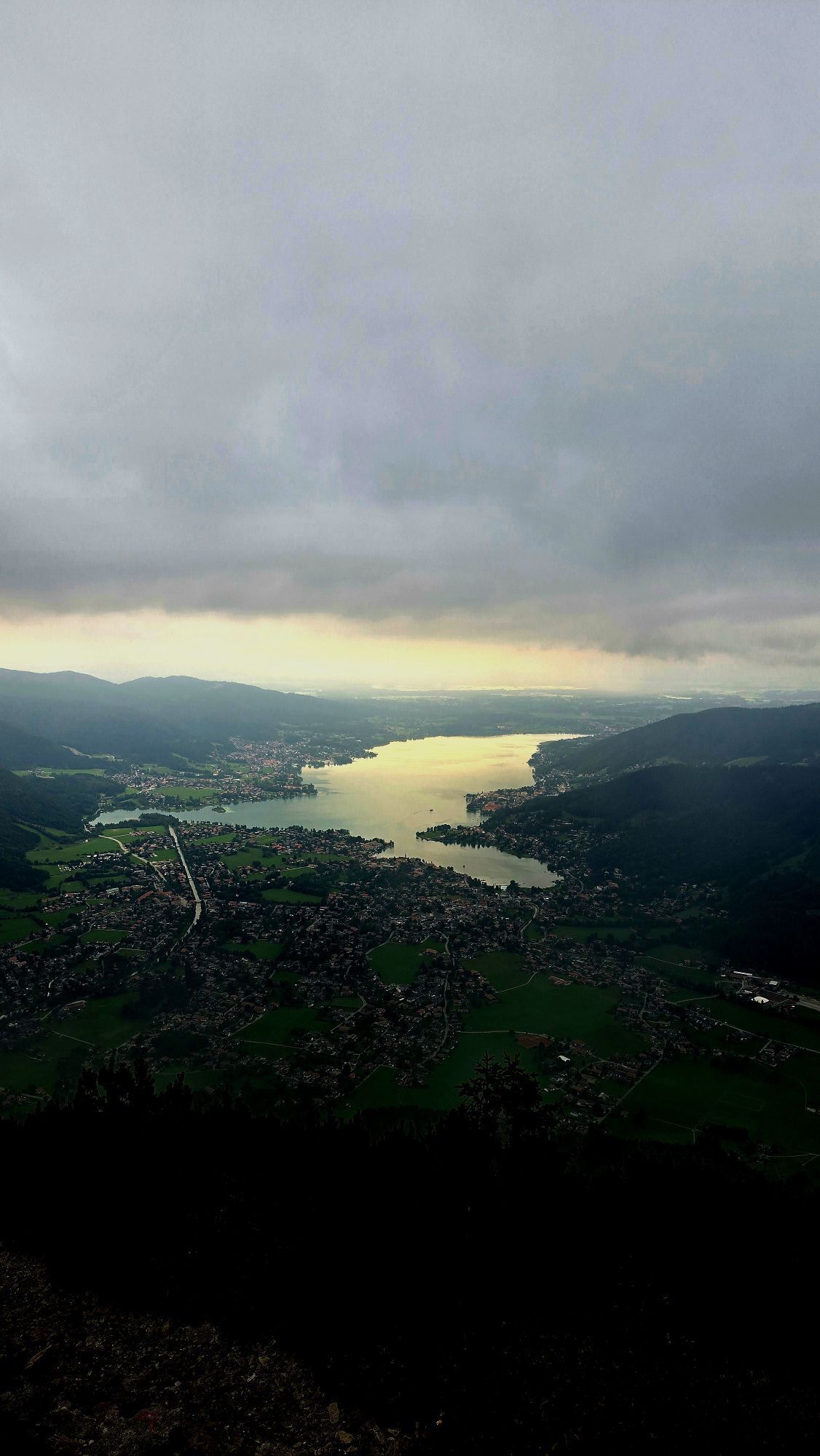
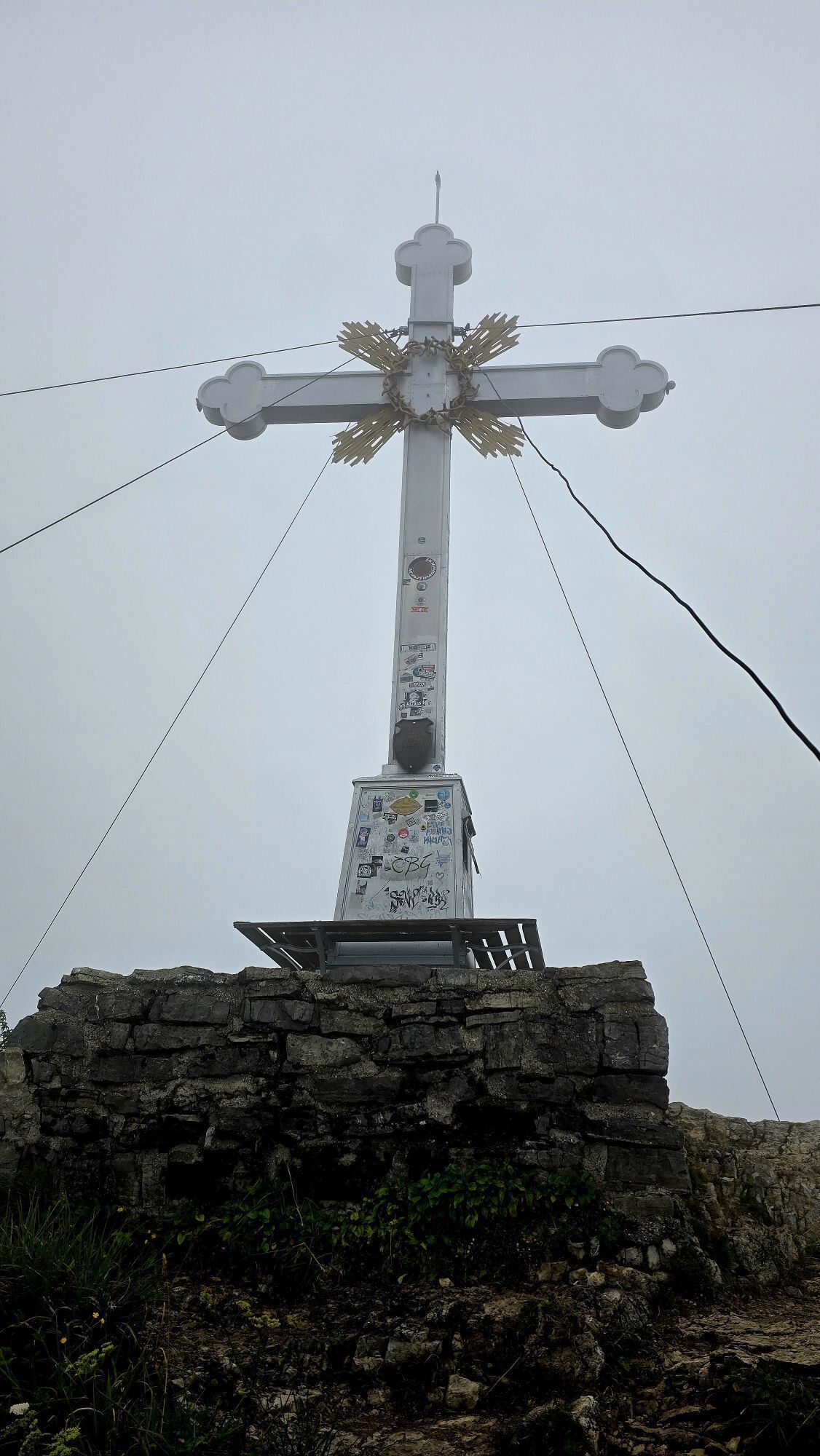

With the option to shorten the whole thing also with the cable car. From the mountain station of the Wallberg cable car, however, it is still a moderate hike (no flip-flops or sandals).
- Local mountain
...With the option to shorten the whole thing also with the cable car. From the mountain station of the Wallberg cable car, however, it is still a moderate hike (no flip-flops or sandals).
- Local mountain
- Can also be completed by cable car
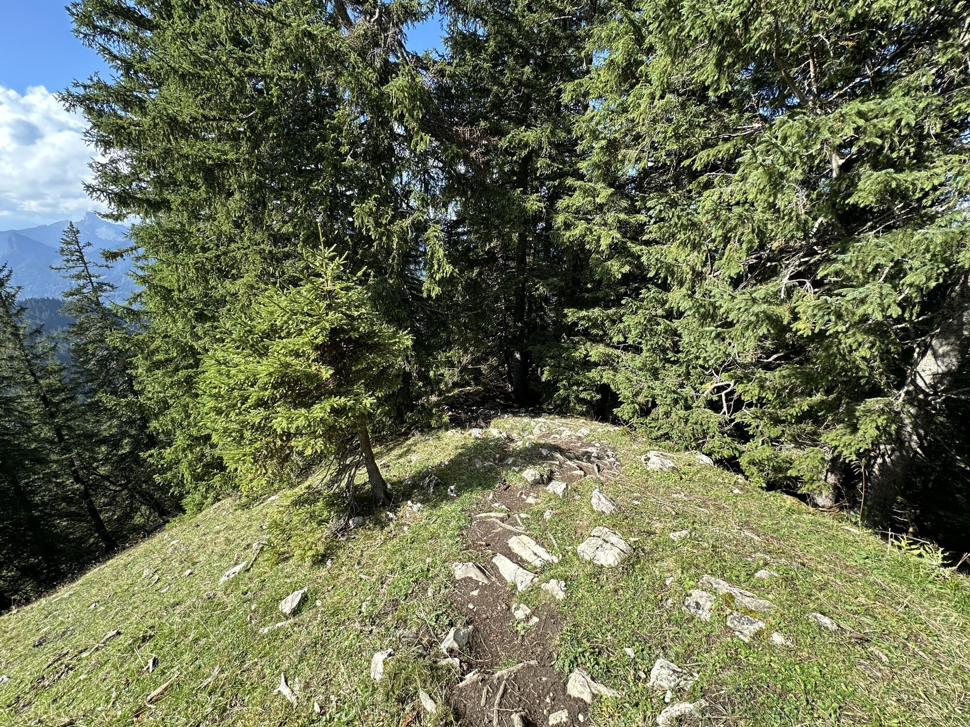
- Slight use of hands necessary at the top
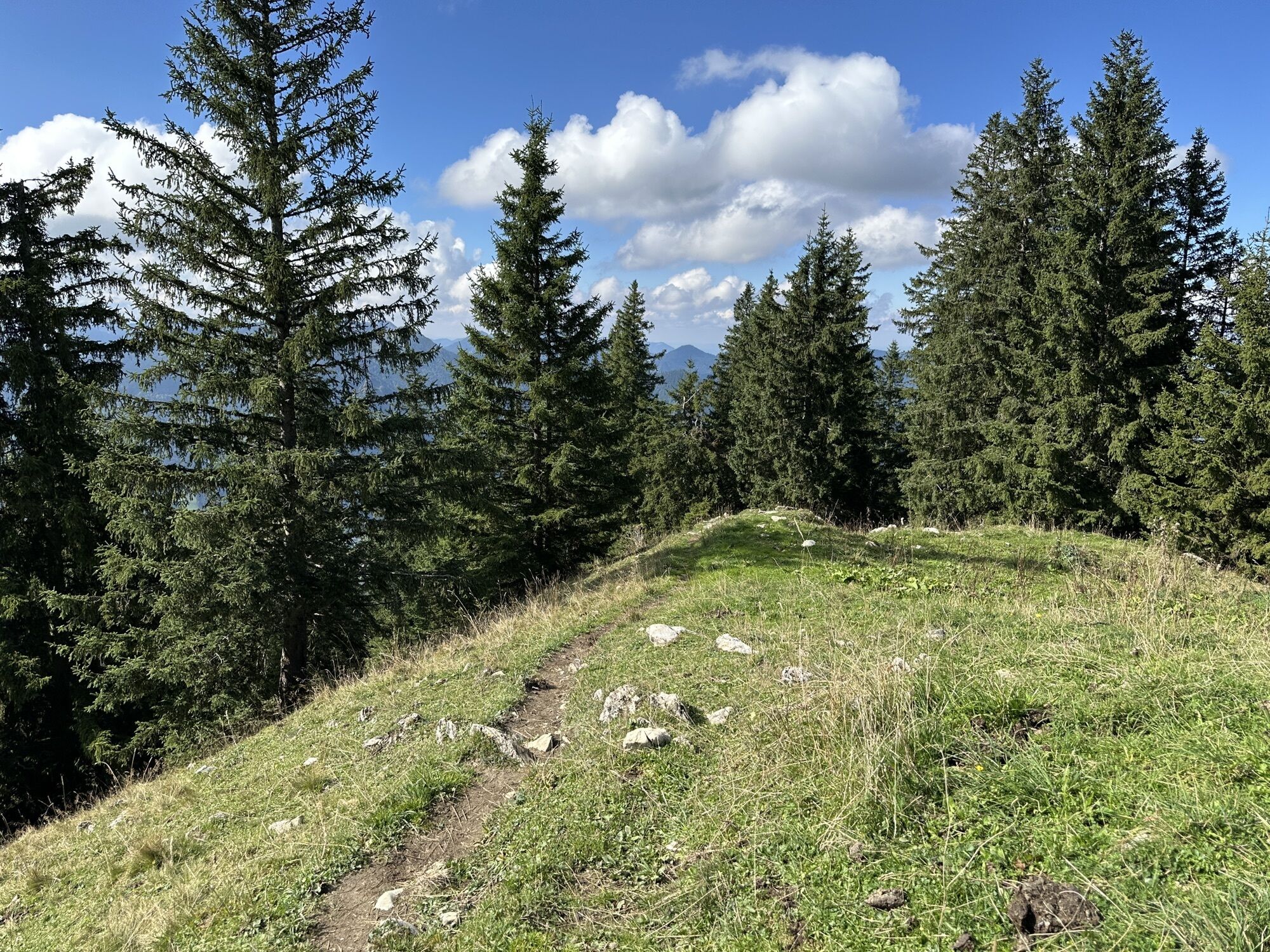
- Partly forest road, partly path, no asphalt
- Several dining opportunities on the way (Wallbergmoos, old Wallberghaus, panorama restaurant at the mountain station)
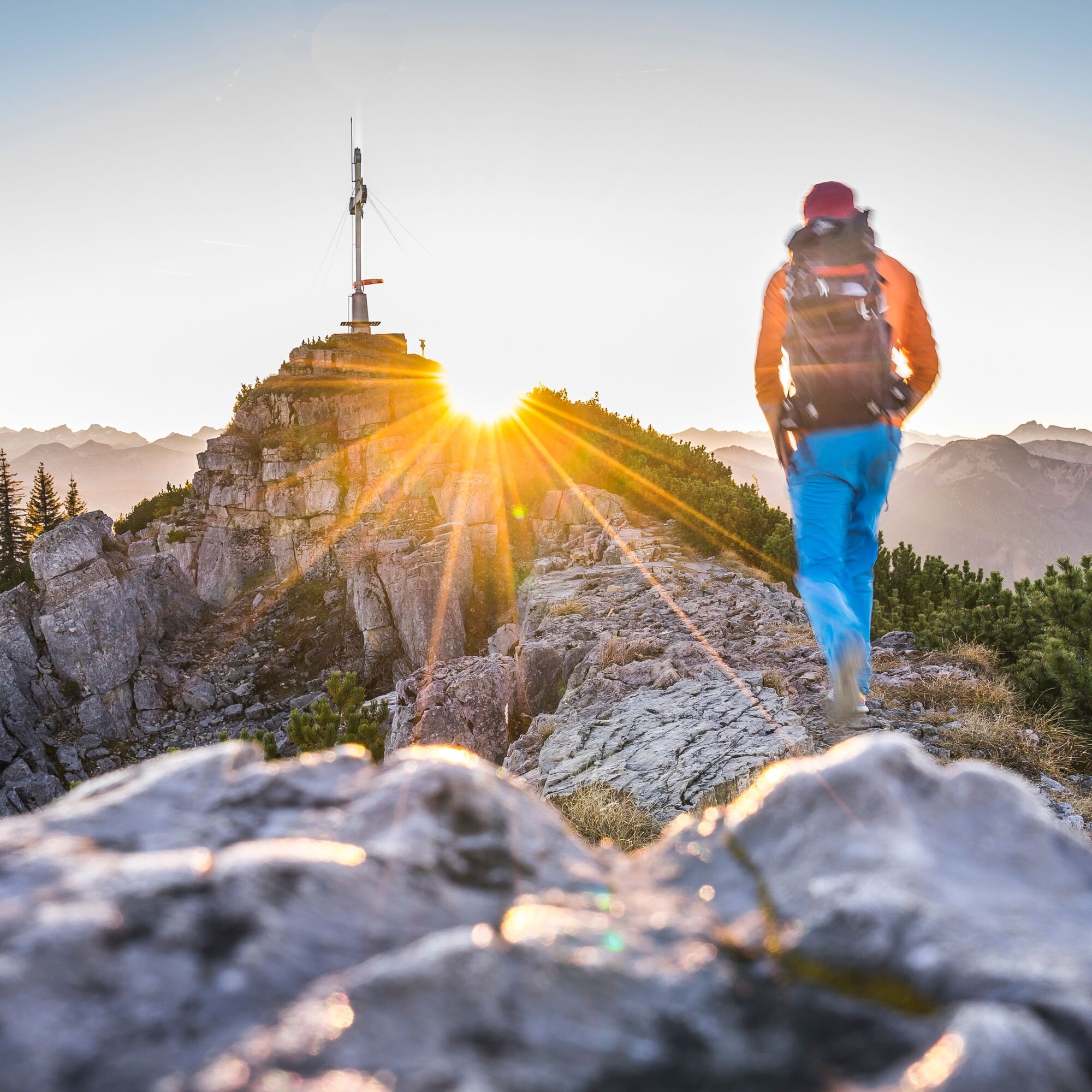
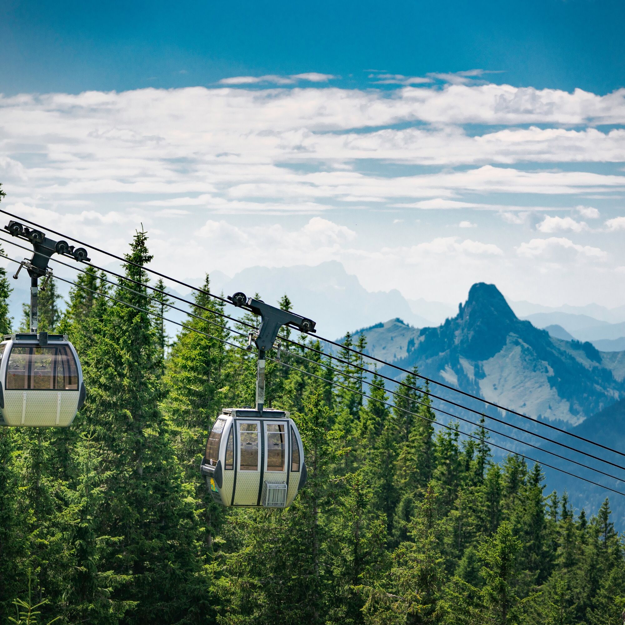
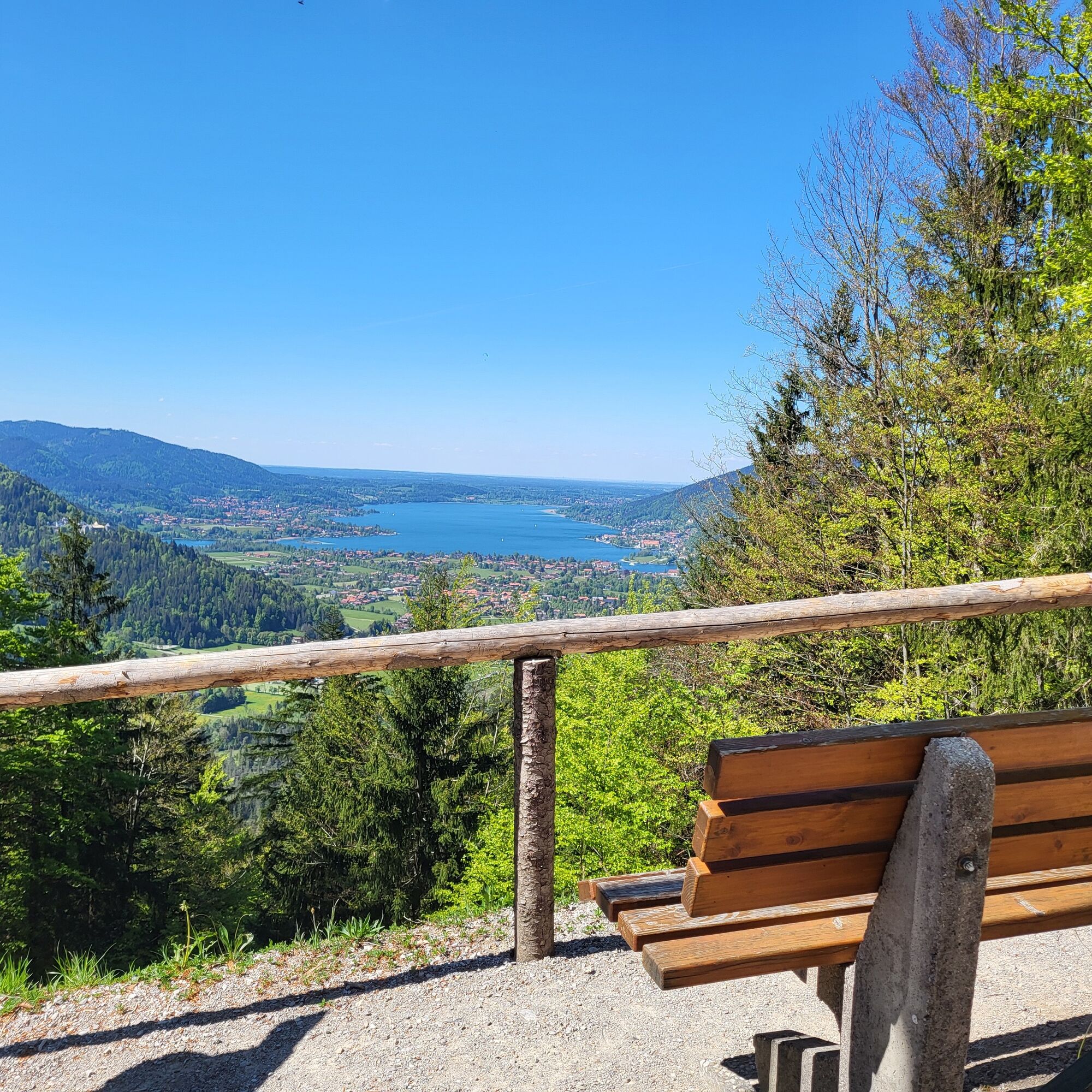
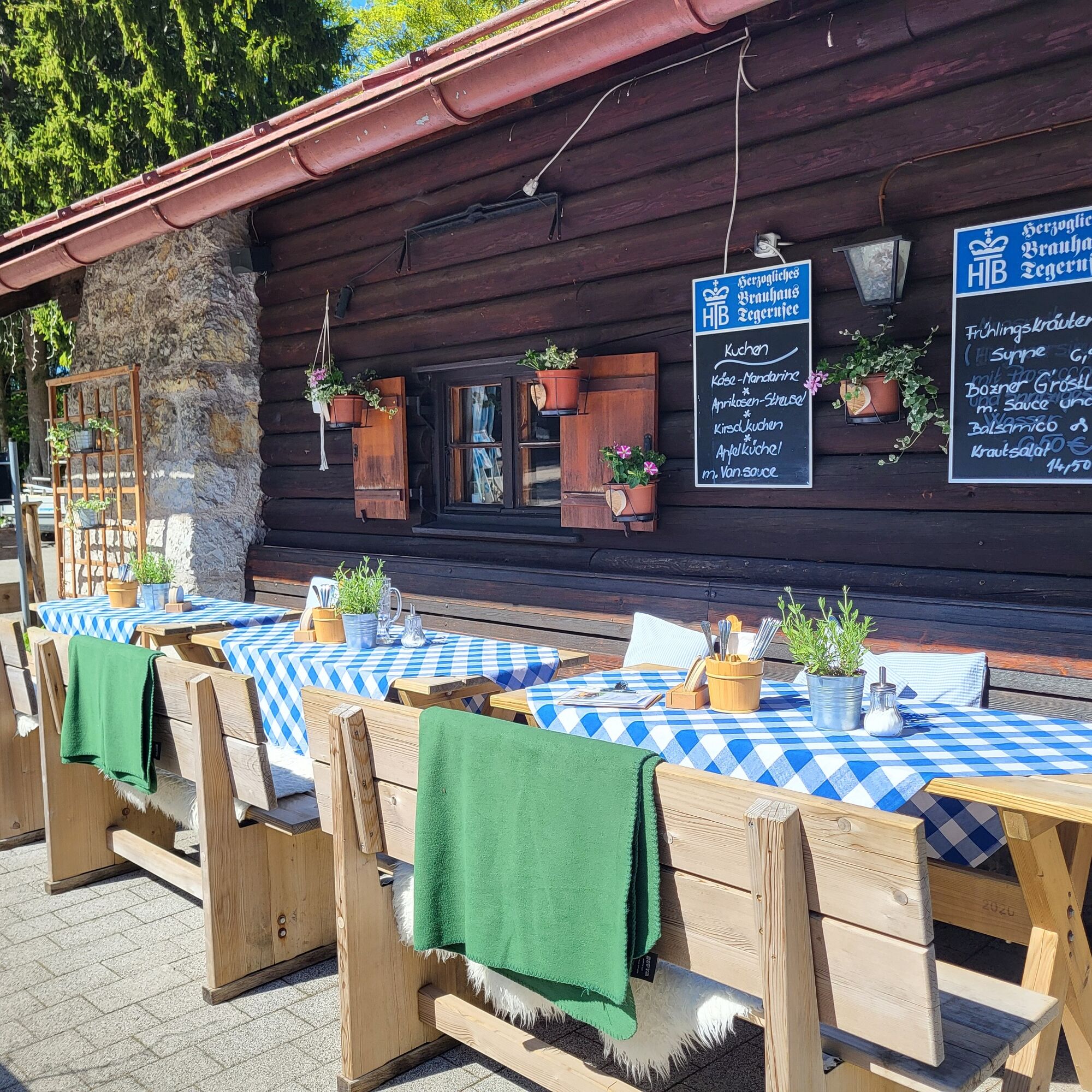
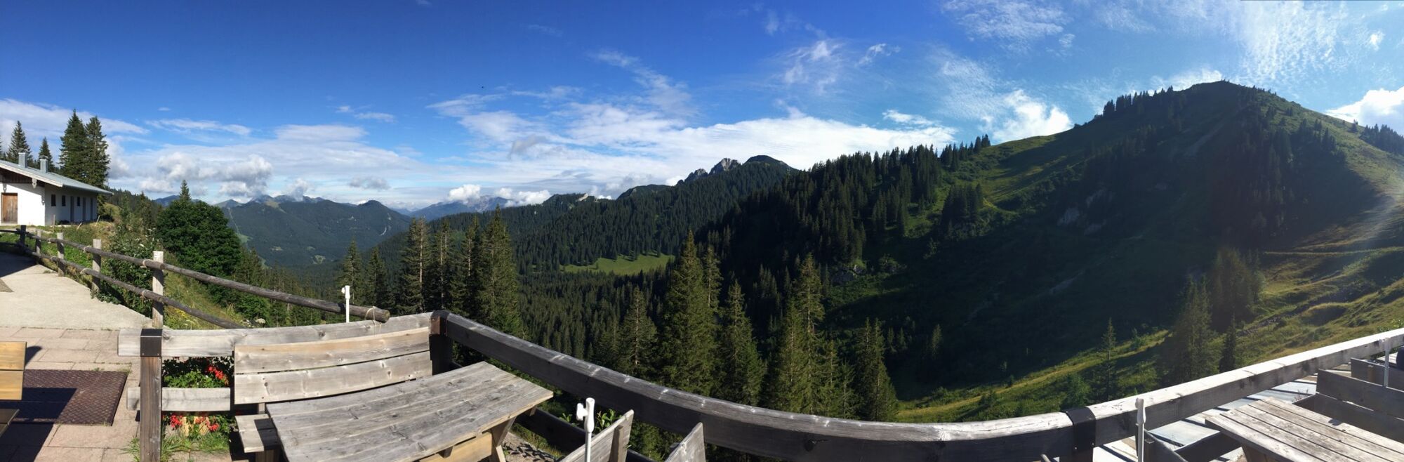
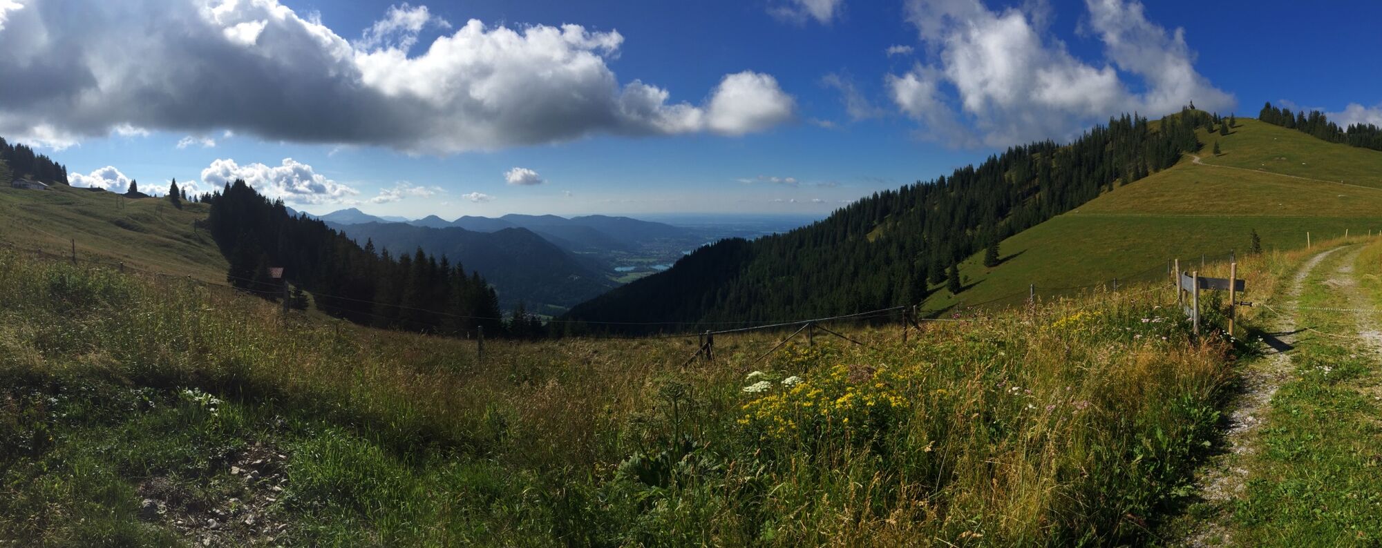
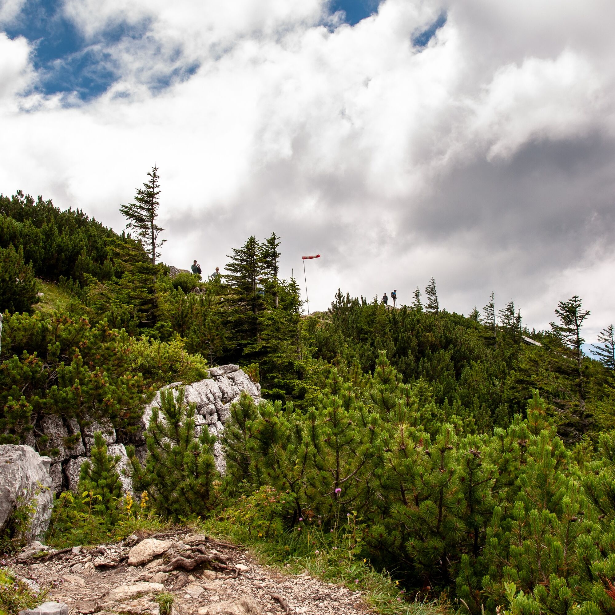
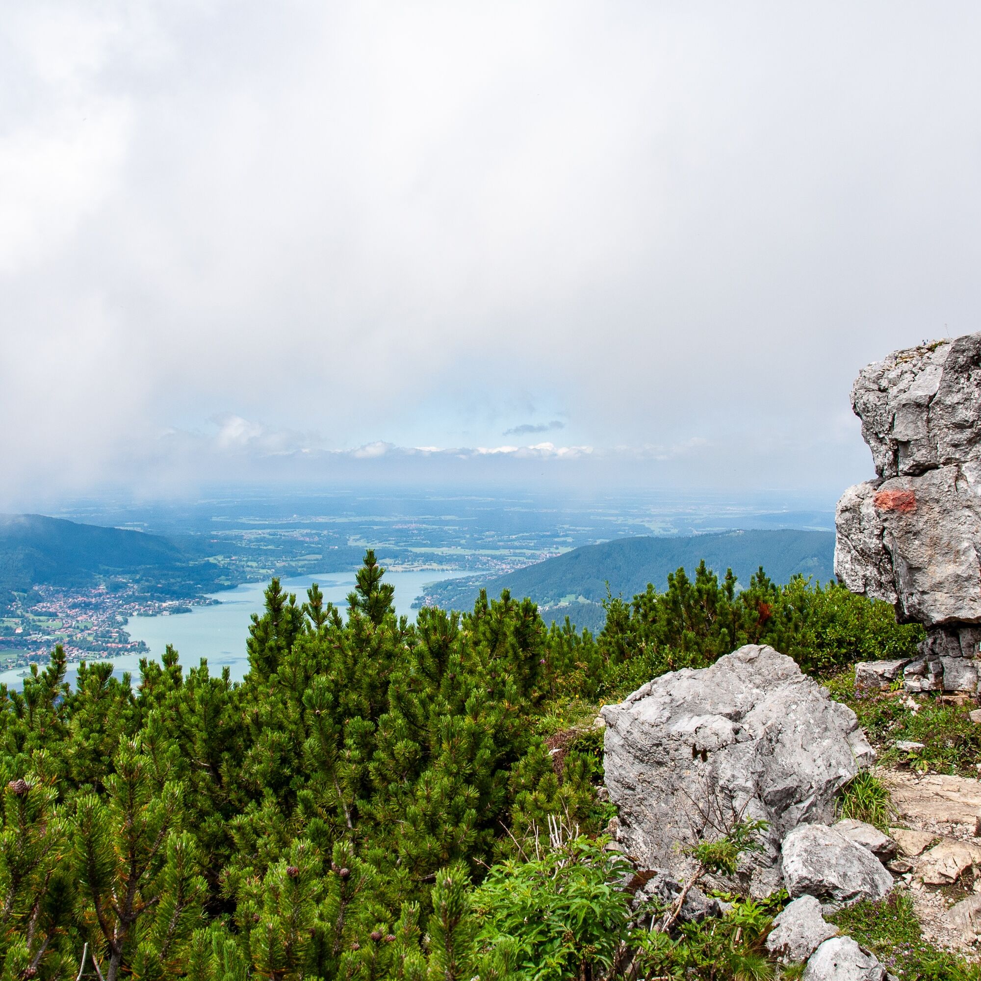
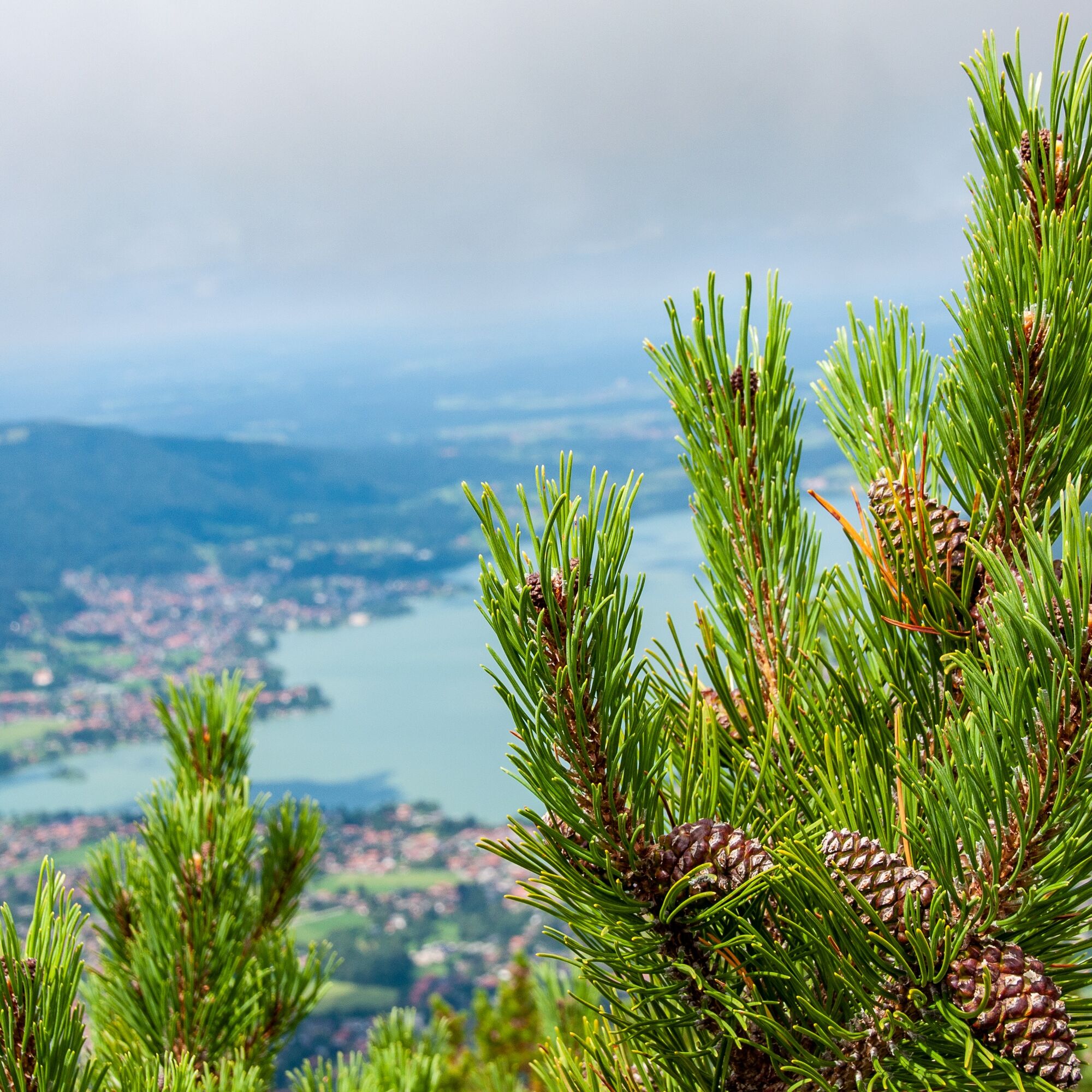

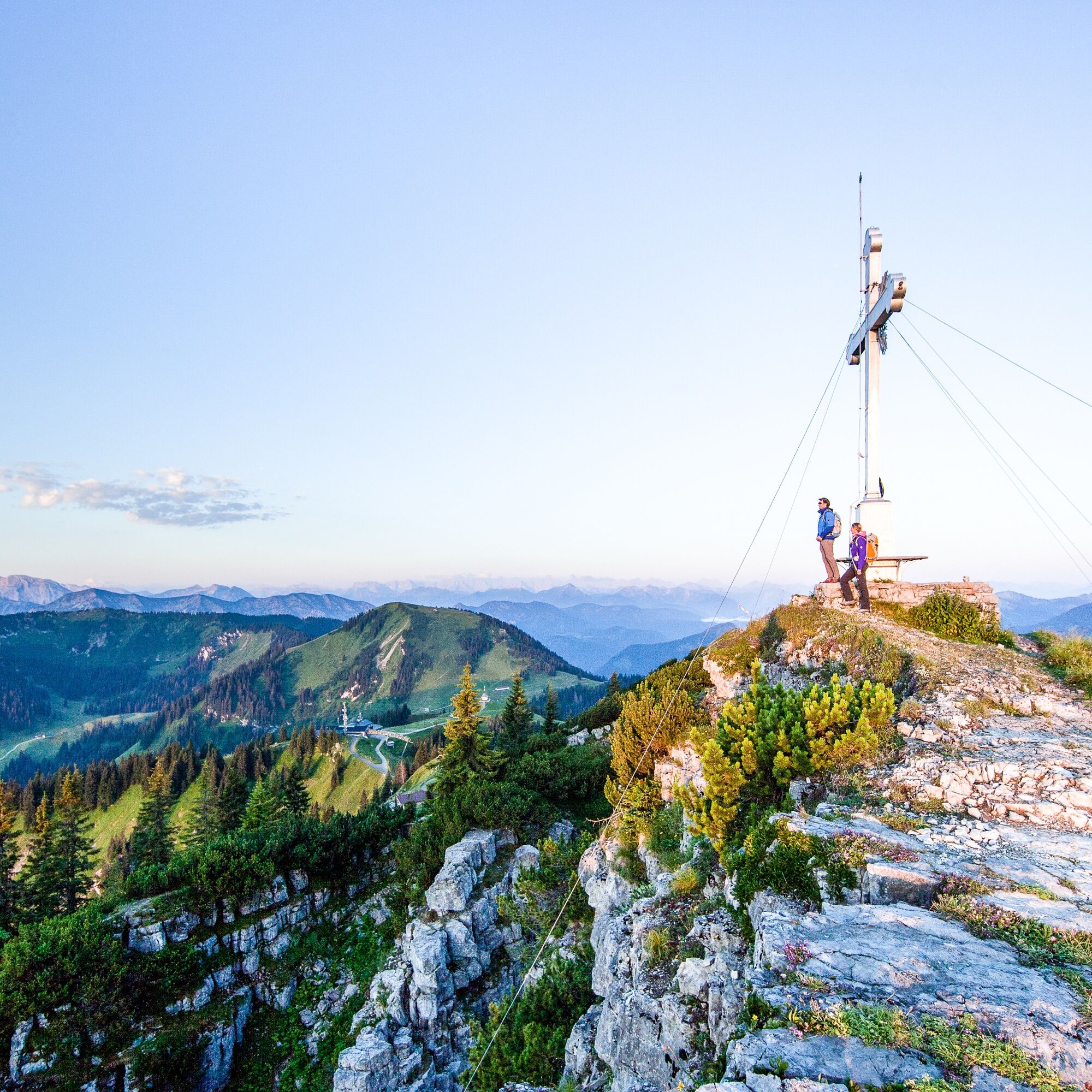
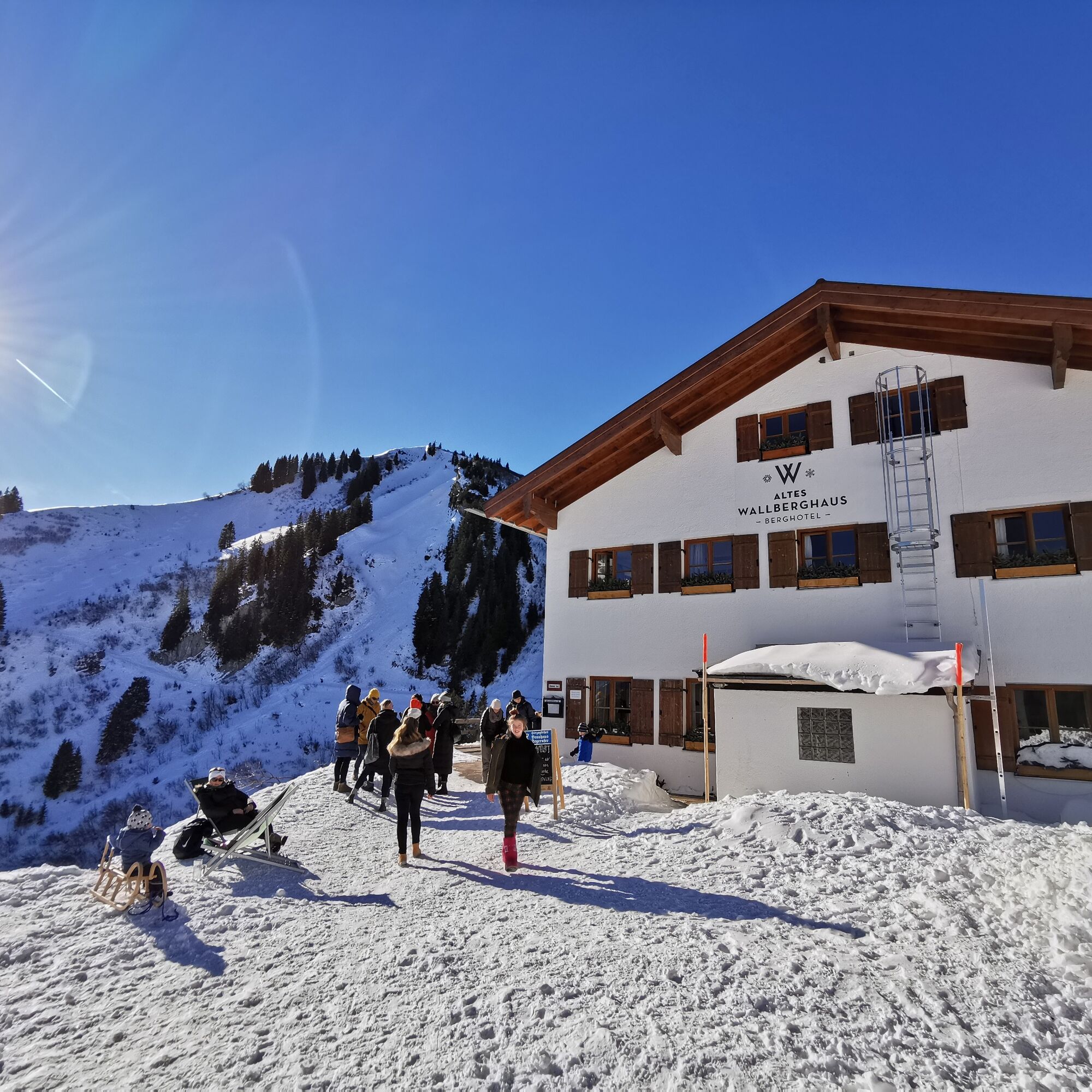
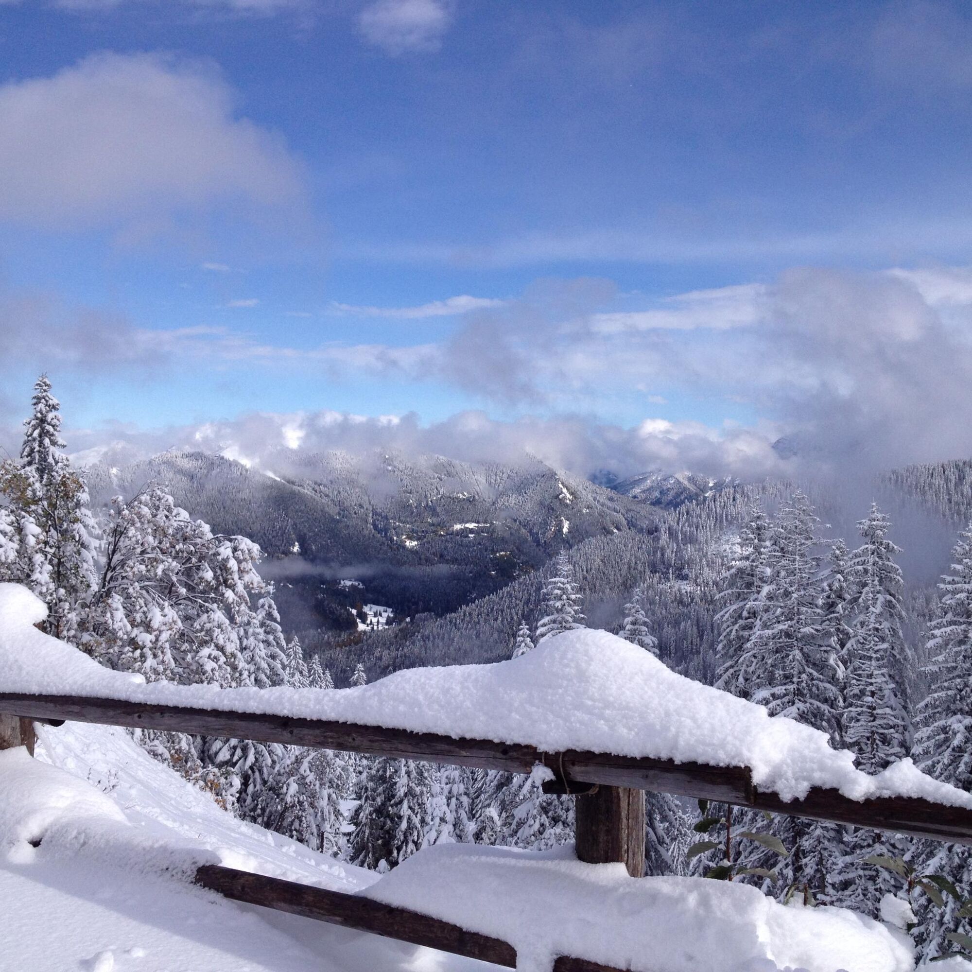
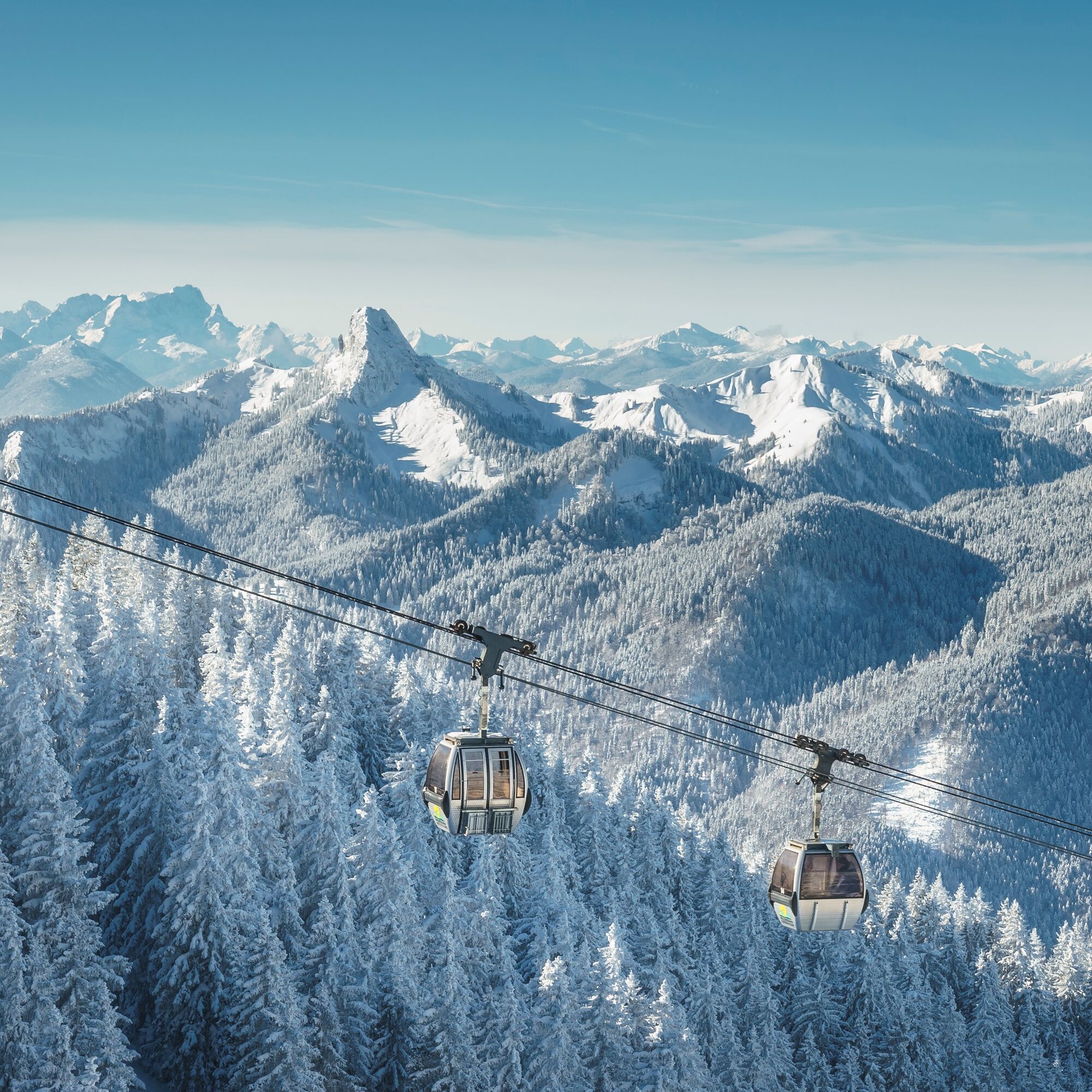
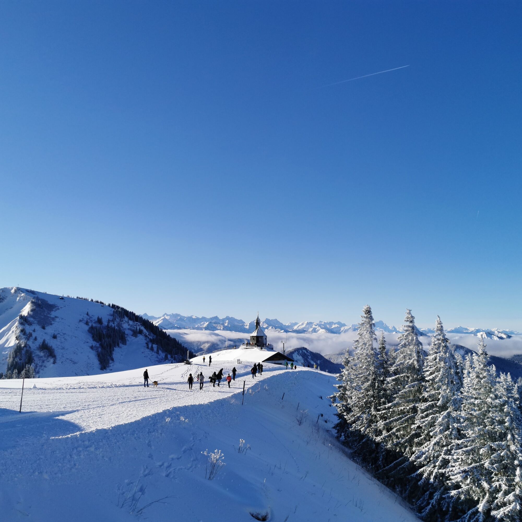
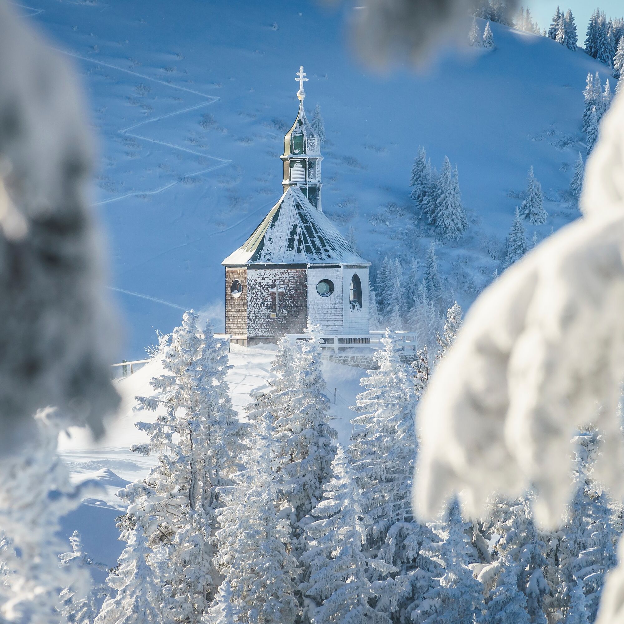
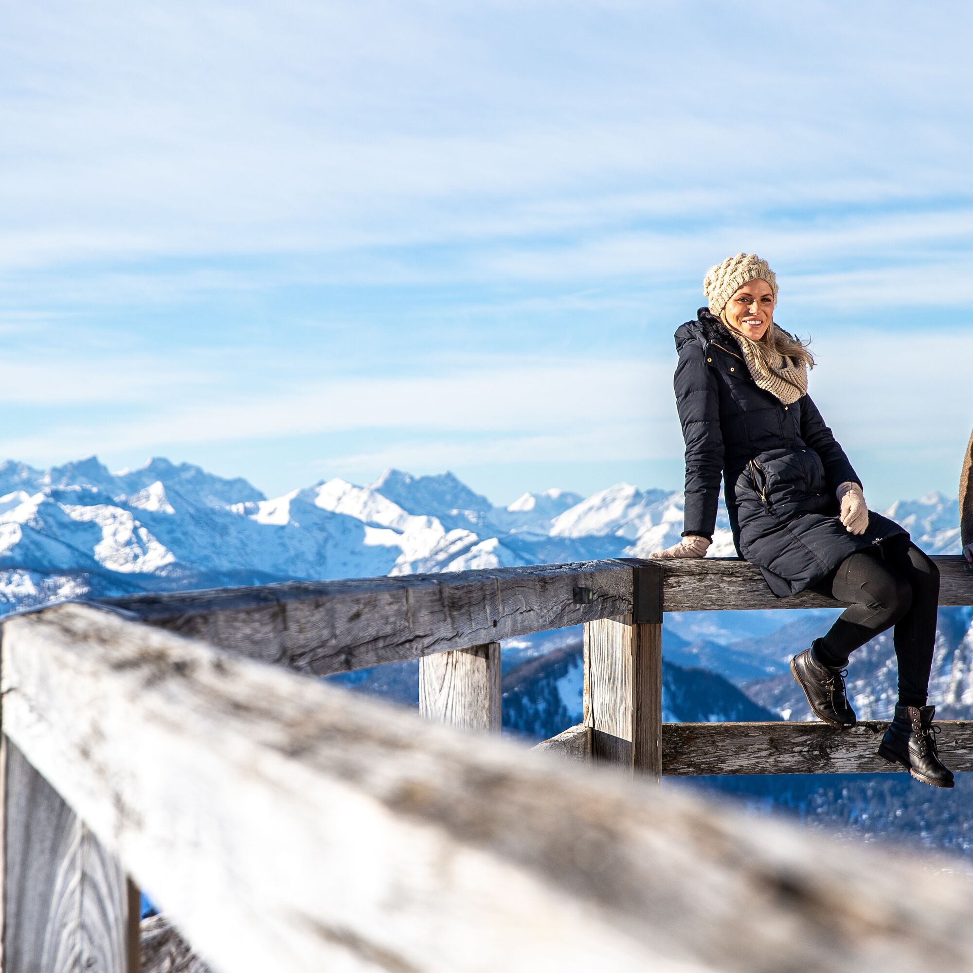

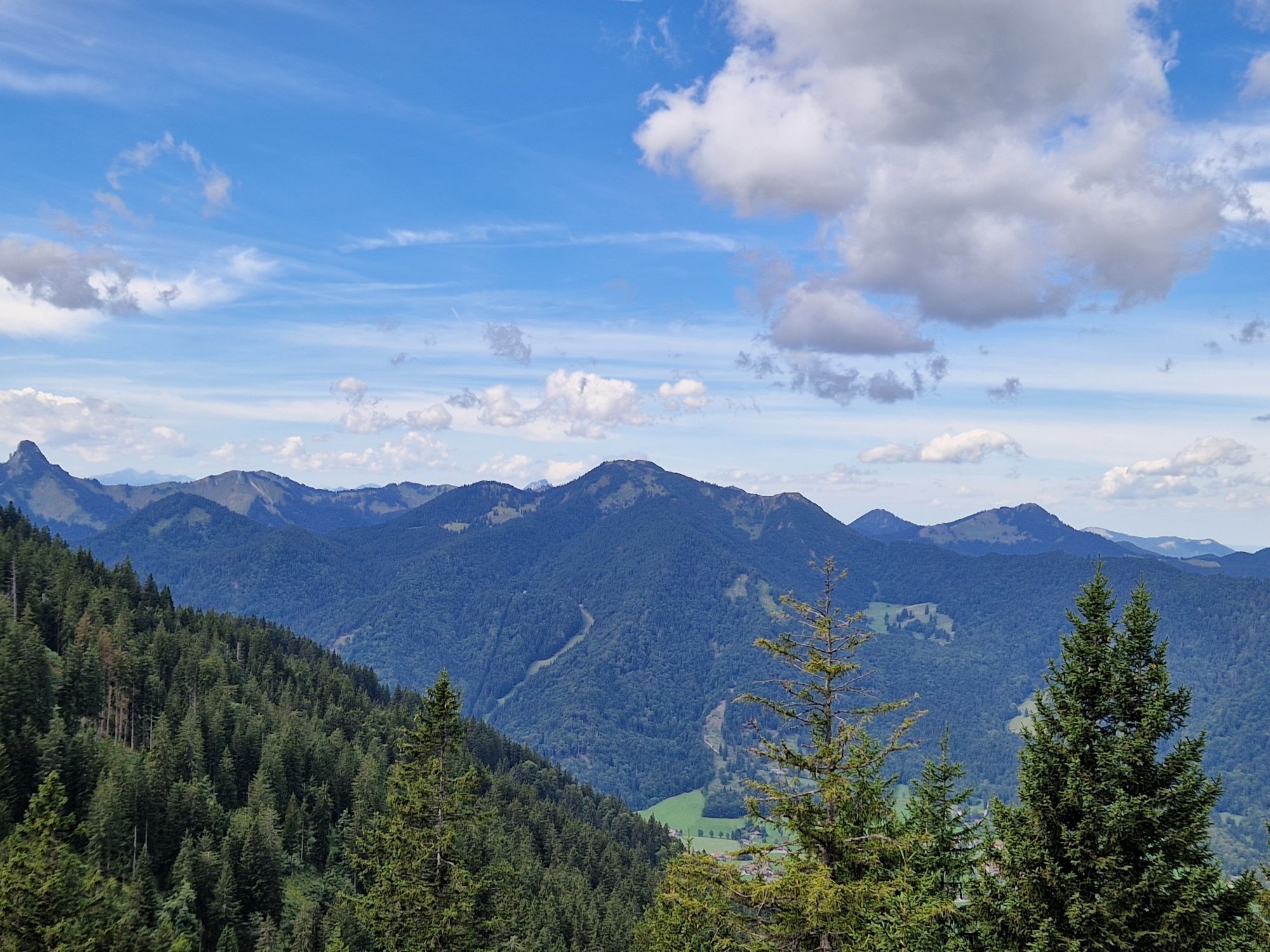
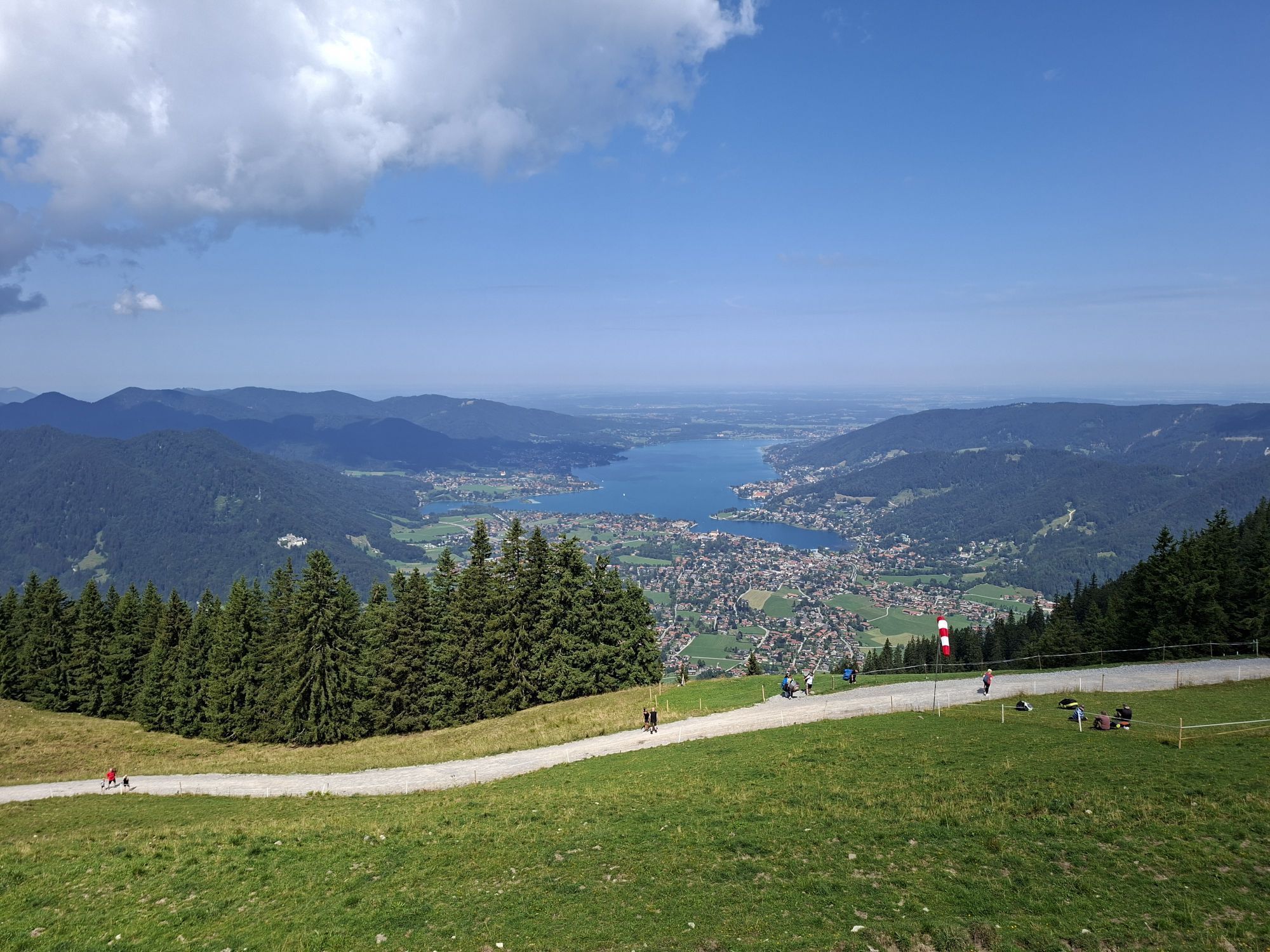
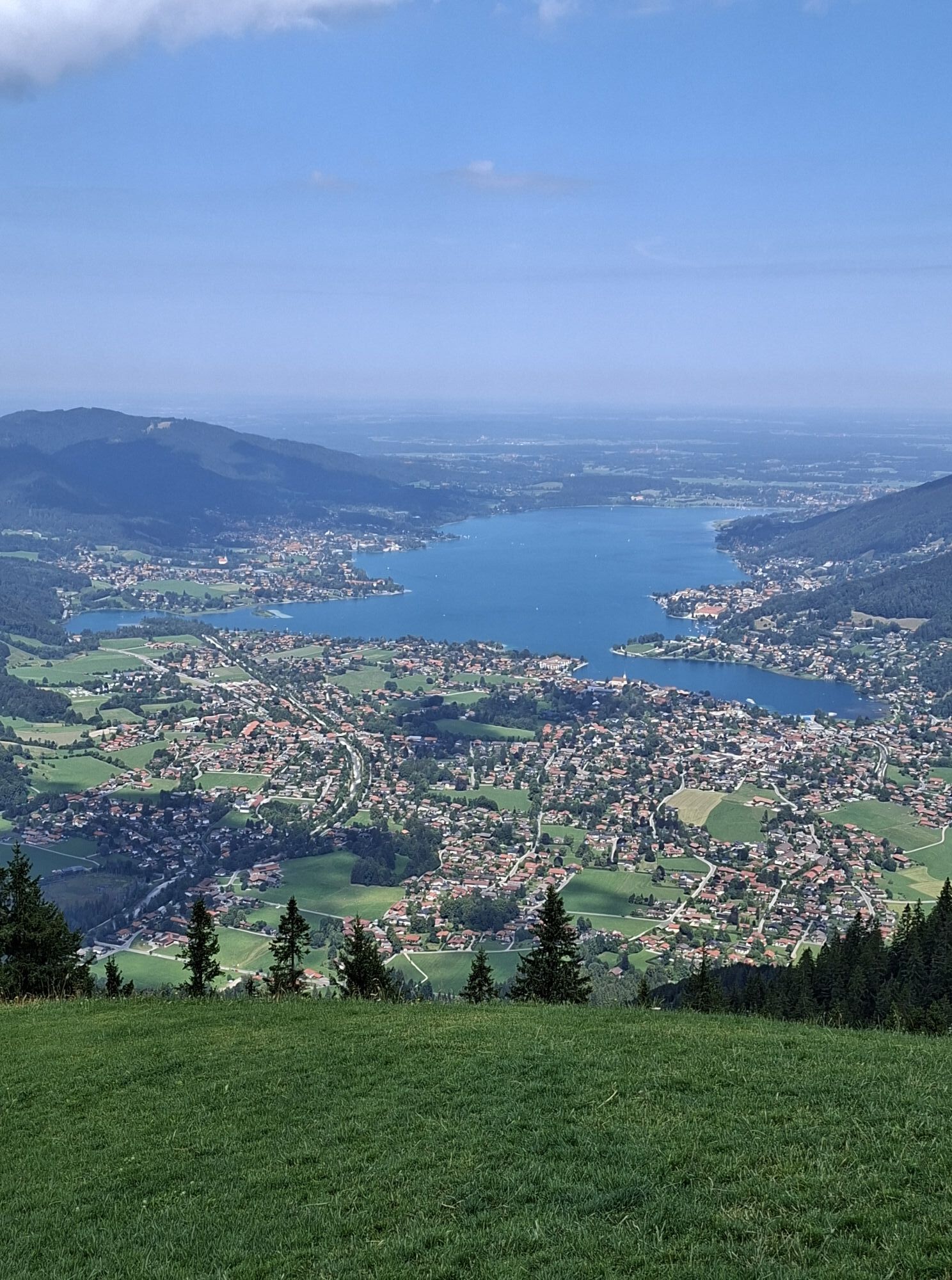
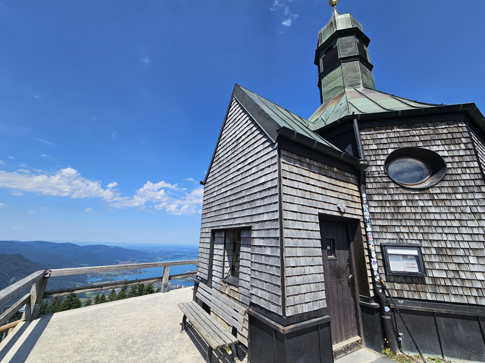
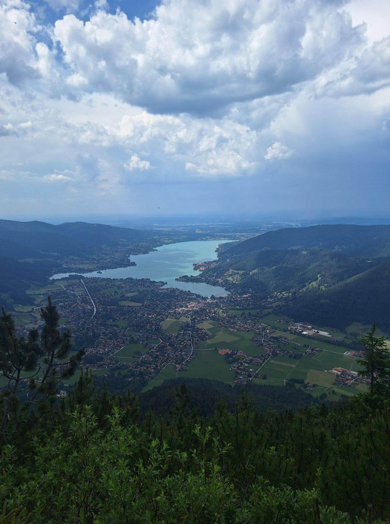
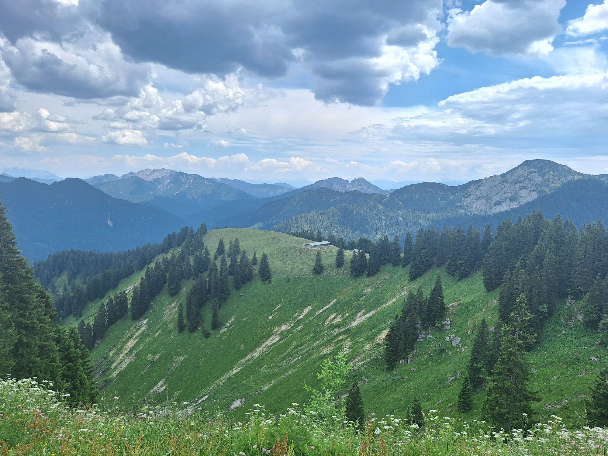
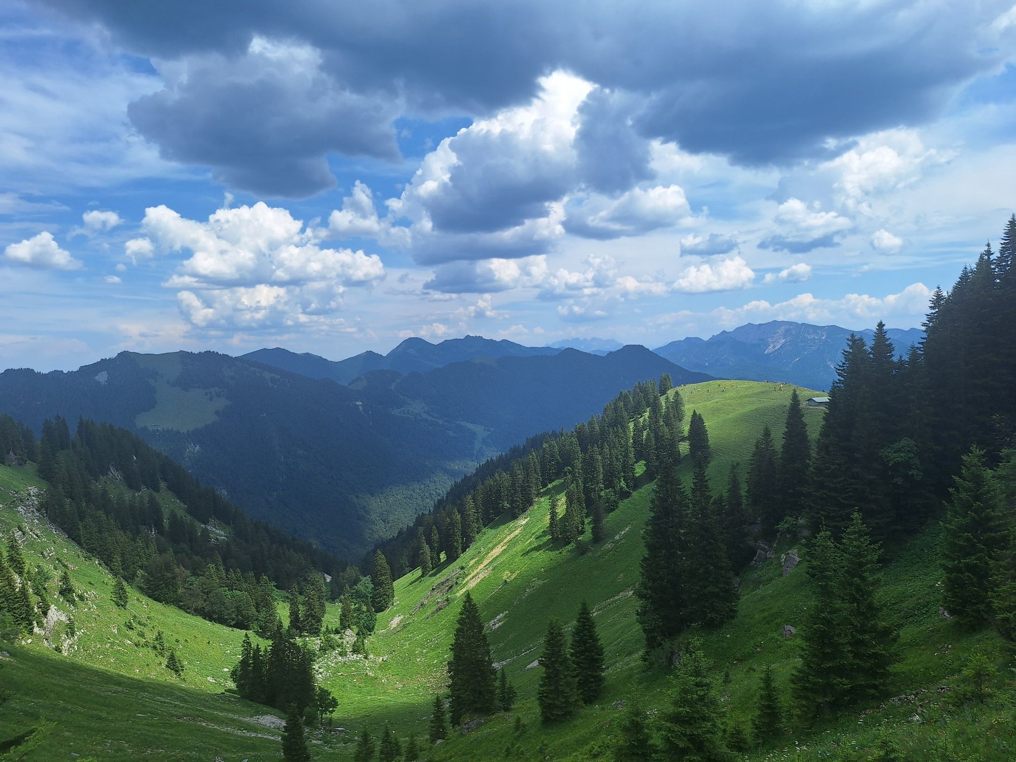
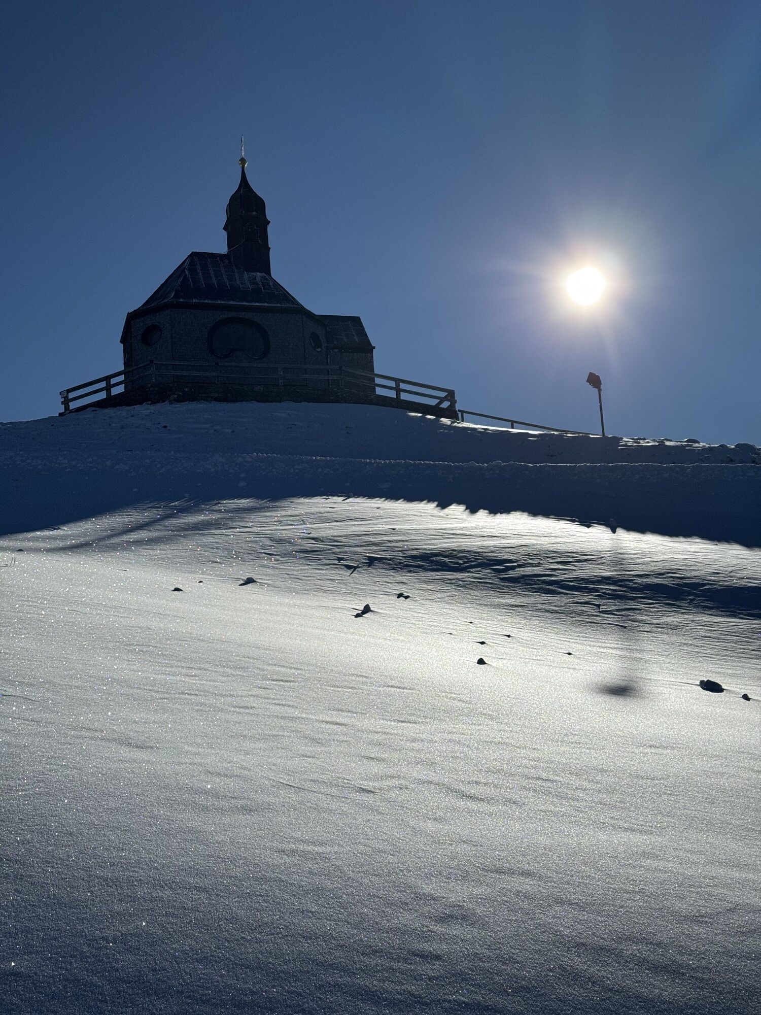
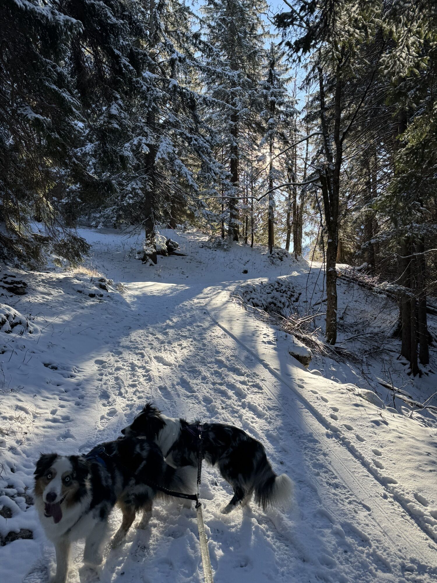
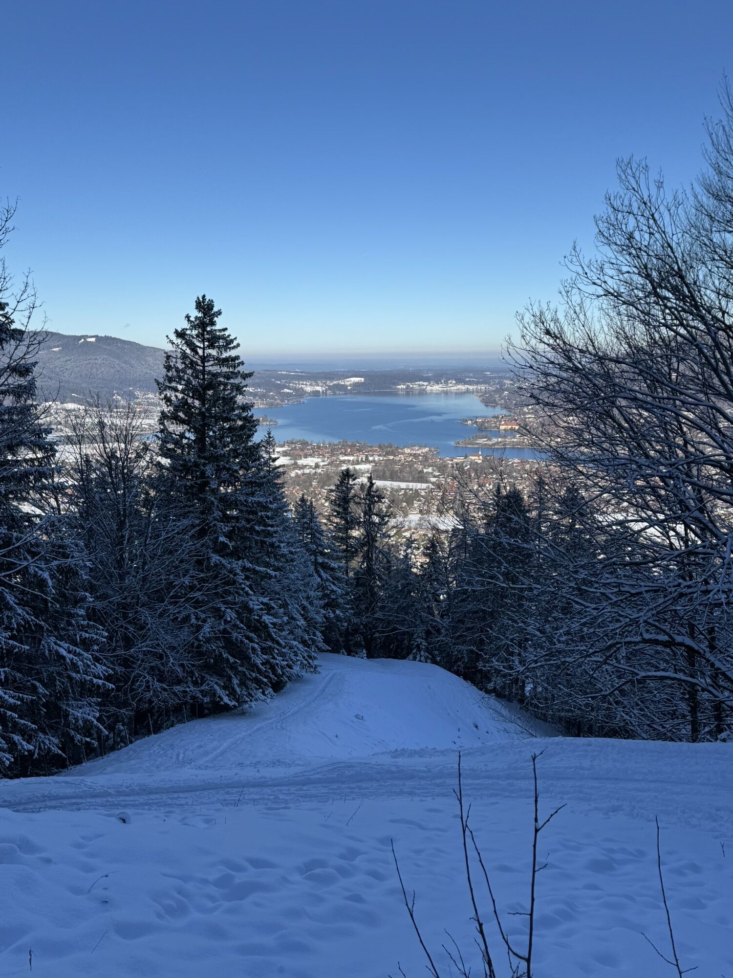
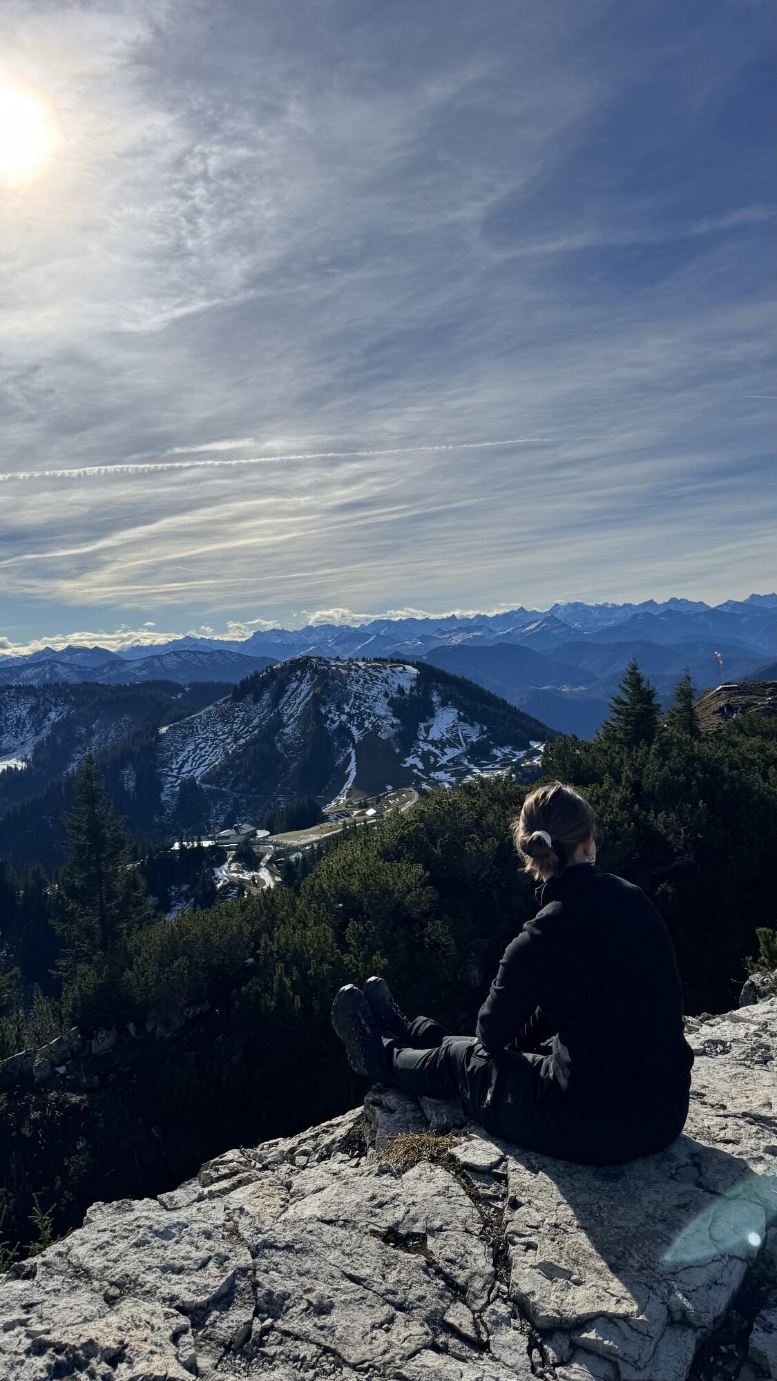
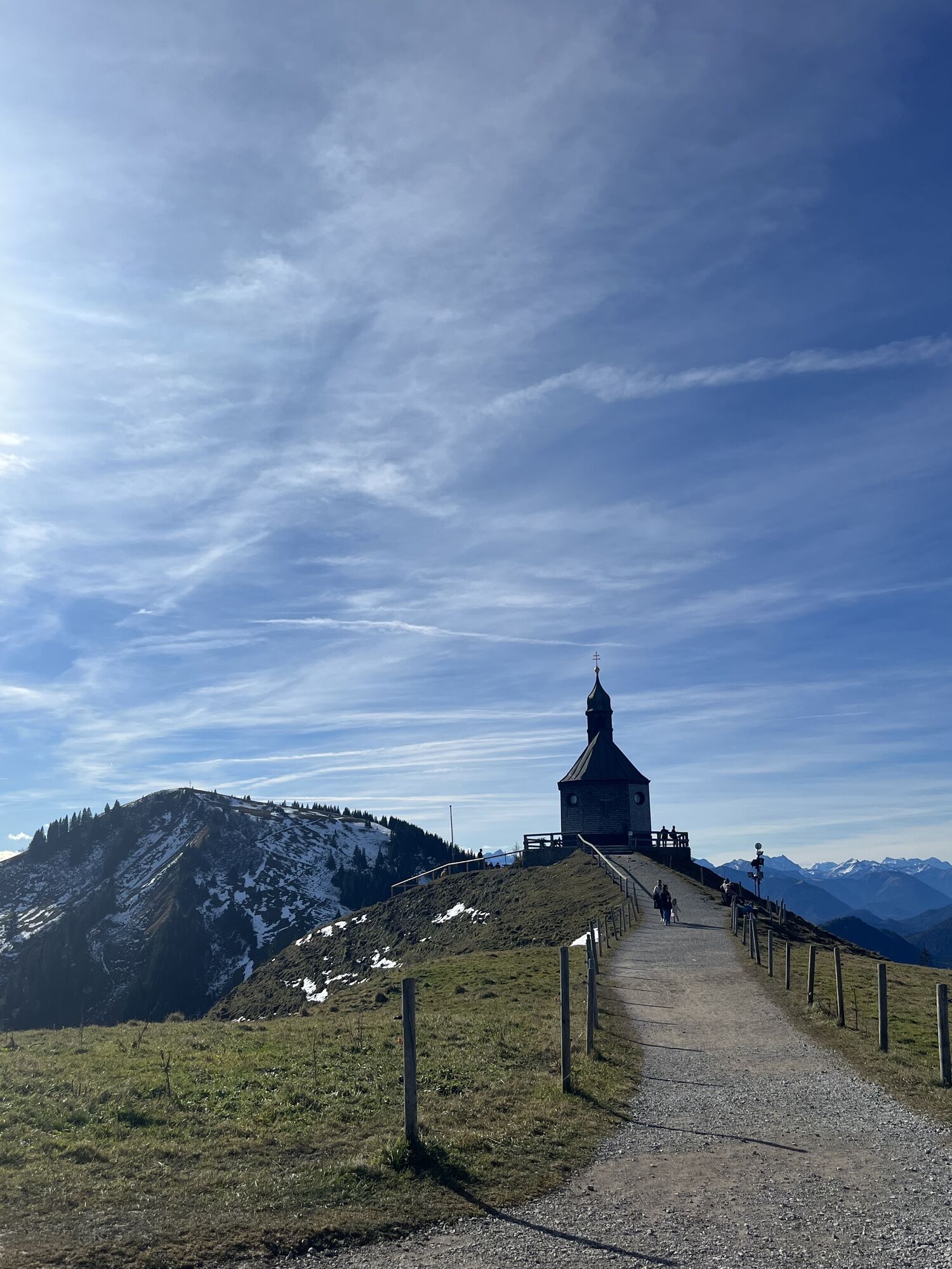
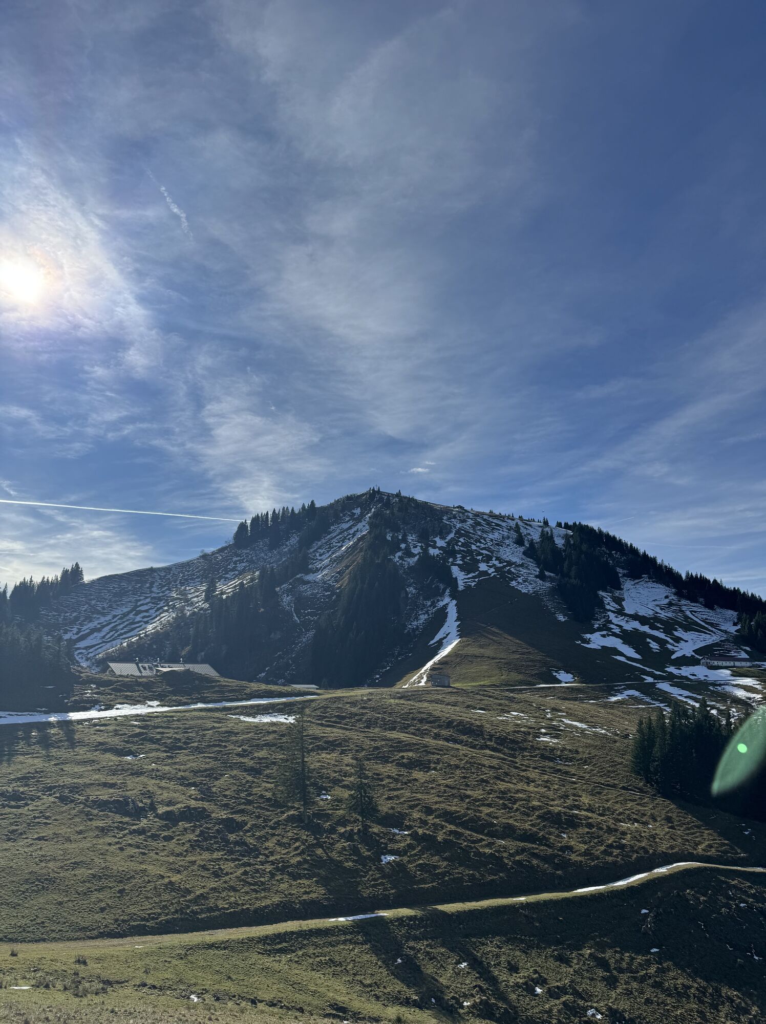
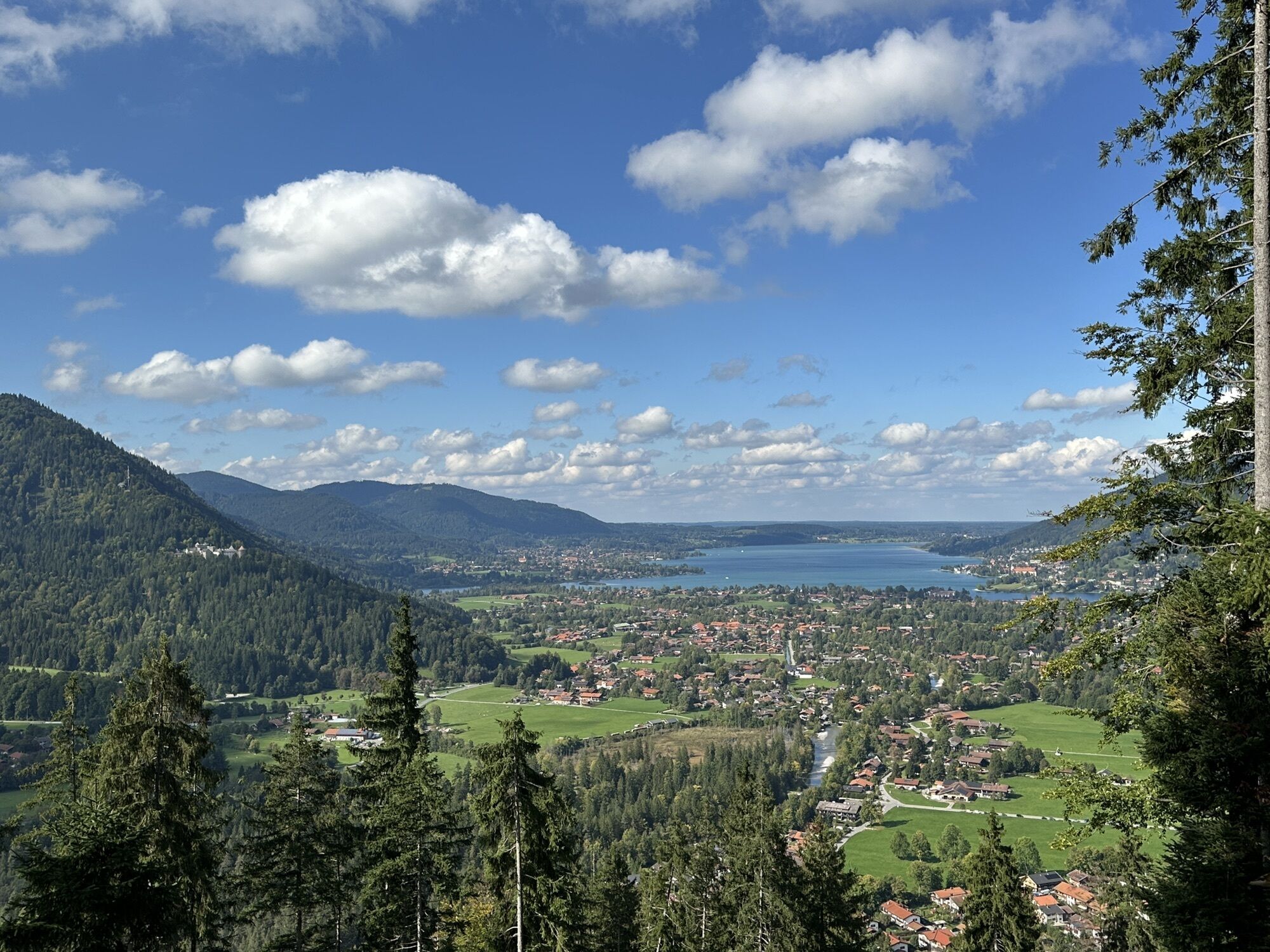
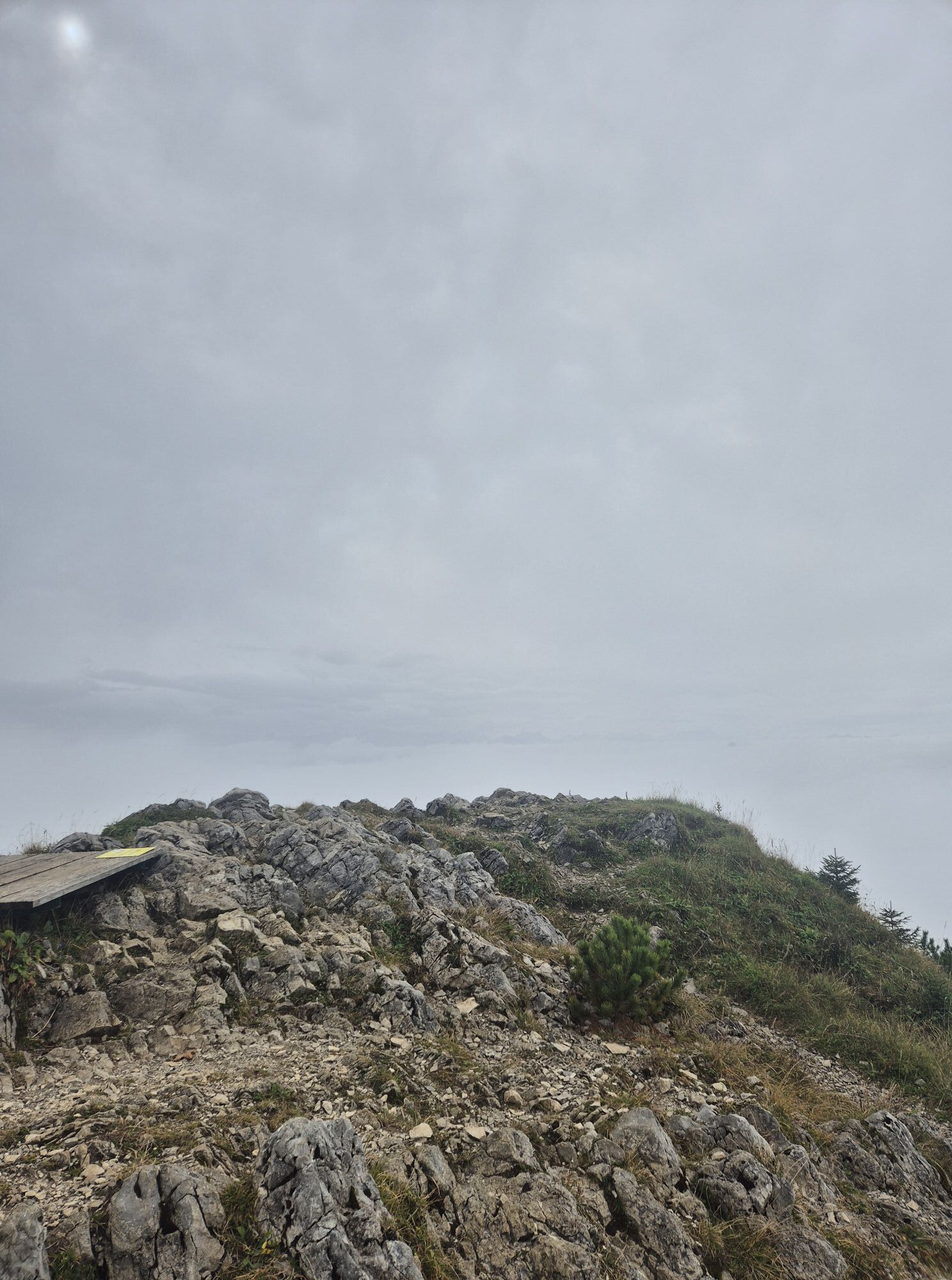
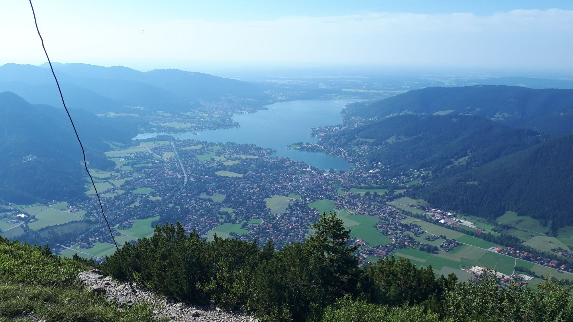
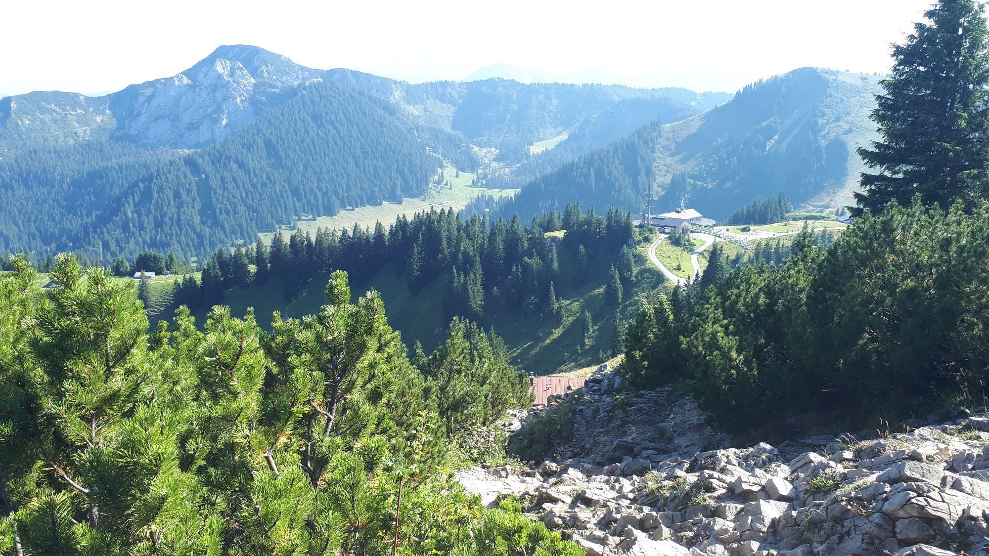
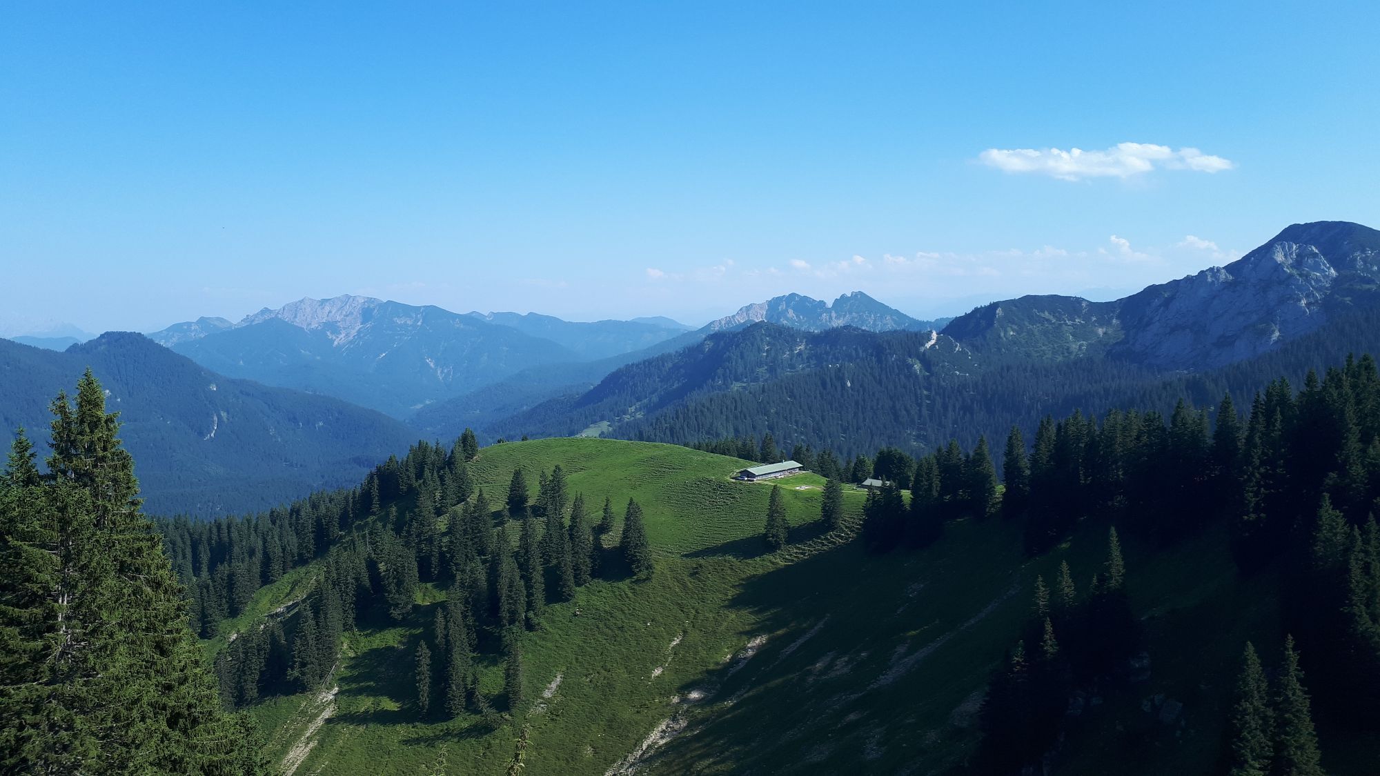
If you are out and about at Lake Tegernsee, you definitely shouldn't miss the local mountain. We start our route at the valley station of the Wallberg cable car and follow hiking trail 818 upwards towards Wallberg. After about half an hour, the path splits and we follow the now narrowing winter path 818a towards Wallbergmoos - our first dining opportunity on the ascent. Past Wallbergmoos, with repeated views of Lake Tegernsee, it continues to the Wallberghaus on the saddle between Wallberg and Setzberg. Over the slope to the left towards the Wallberg chapel and the mountain station of the Wallberg cable car (for those who prefer a more leisurely pace, taking the cable car up or down is highly recommended). The destination - the summit of Wallberg - is now within reach, and on a narrow path, it goes up to the 1723 m high summit of Wallberg.
For the descent, we first follow the ascent route. Past the mountain station and Wallberghaus to the junction between summer and winter path.
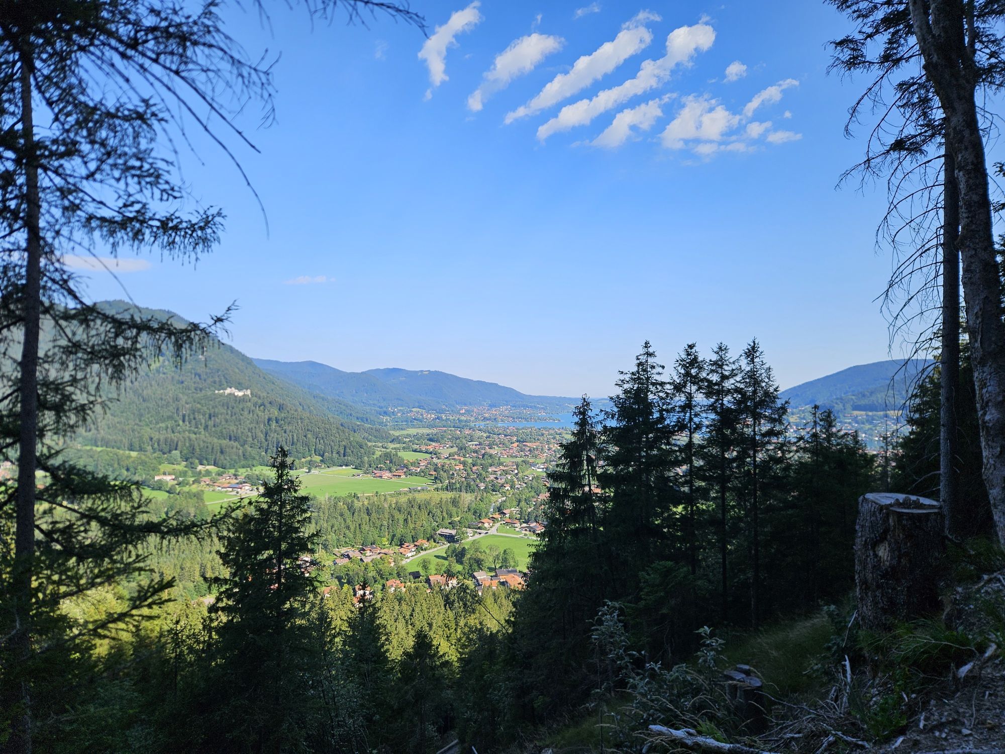
We follow the summer path steeply down to the starting point of our route.
Ano
Ano
Ano
Hiking boots, as well as weather-appropriate clothing, possibly rain jacket.
All information provided without guarantee. Walking and cycling on the routes described here is at your own risk.
Please do not enter forest and wildlife protection areas in winter and at dusk.
A8 to Holzkirchen exit, via B318 to Rottach-Egern
By MVV to Rottach-Egern, bus stop Wallberg cable car.
Pay parking at the Wallberg cable car
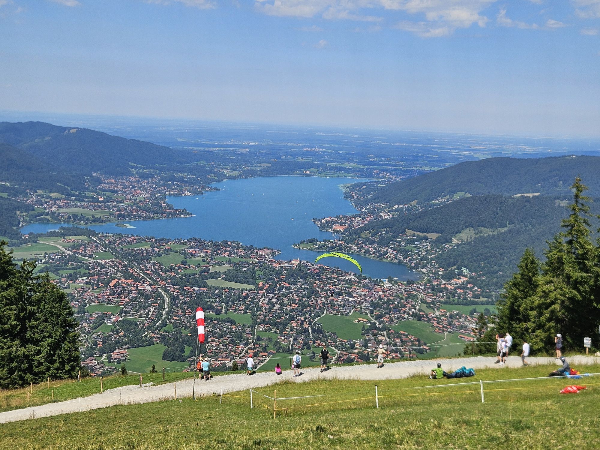
Paragliding launch site, there is almost always someone to watch :)



Webové kamery z prohlídky

Aktivity na trase
Rottach-Egern, Bayern/Deutschland
01.10.2026 – Turistika
Kreuth, Bayern/Deutschland
28.09.2026 – Turistika
Rottach-Egern, Bayern/Deutschland
26.09.2026 – Turistika
Kreuth, Bayern/Deutschland
26.09.2026 – Via ferrata
Rottach-Egern, Bayern/Deutschland
25.09.2026 – Turistika
Kreuth, Bayern/Deutschland
19.09.2026 – Turistika
Rottach-Egern, Bayern/Deutschland
12.09.2026 – TuristikaRottach-Egern, Bavaria/Germany
01.09.2026 – Turistika
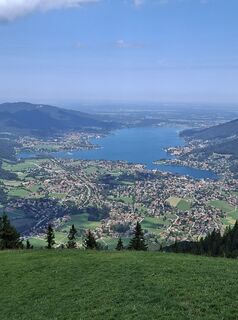
Wallbergbahn Talstation zur Wallbergbahn Bergstation
11.08.2026 – TuristikaRottach-Egern, Bayern/Deutschland
08.08.2026 – TuristikaRottach-Egern, Bayern/Deutschland
07.08.2026 – Turistika
Rottach-Egern, Bayern/Deutschland
23.07.2026 – TuristikaRottach-Egern, Bayern/Deutschland
20.07.2026 – Turistika
Rottach-Egern, Bayern/Deutschland
13.07.2026 – TuristikaRottach-Egern, Bayern/Deutschland
12.07.2026 – TuristikaRottach-Egern, Bayern/Deutschland
11.07.2026 – Turistika
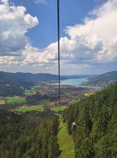
Wallberg Rottach-Egern, Oberbayern/Deutschland
21.06.2026 – Turistika
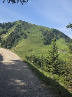
Rottach-Egern, Oberbayern/Deutschland
21.06.2026 – MountainbikeKreuth, Oberbayern/Deutschland
20.06.2026 – Turistika
Rottach-Egern, Oberbayern/Deutschland
14.06.2026 – Turistika
Oblíbené prohlídky v okolí
- 4.8
Königsalm
středníTuristika 10.0 km - 4.7
Alpbach valley and Neureuth
středníTuristika 12.9 km - 4.6
Roß- and Buchstein, Tegernsee Hut
heavyTuristika 14.4 km - 4.8
Leonhardstein
středníTuristika 8.17 km - 4.3
Tegernsee Höhenweg - North
světloTuristika 12.3 km - 4.8
Lengrieser Hütte
středníTuristika 10.6 km - 4.7
Hirschberg
středníHorská turistika 12 km - 4.6
Rotwand über Schliersee, Deutschland
středníTuristika 15.4 km - 4.6
Brecherspitze
středníHorská turistika 14.5 km - 3.8
Aueralm und Fockenstein
středníTuristika 14.1 km
Pěší turistika a stopování


Nenechte si ujít nabídky a inspiraci pro vaši příští dovolenou
Vaše e-mailová adresa byl přidán do poštovního seznamu.





