







Roß- and Buchstein, Tegernsee Hut

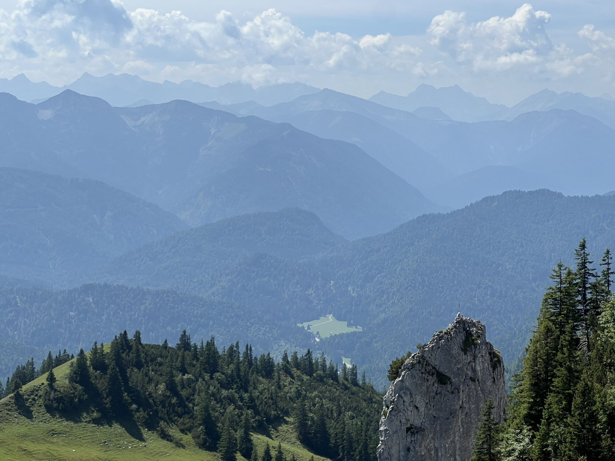

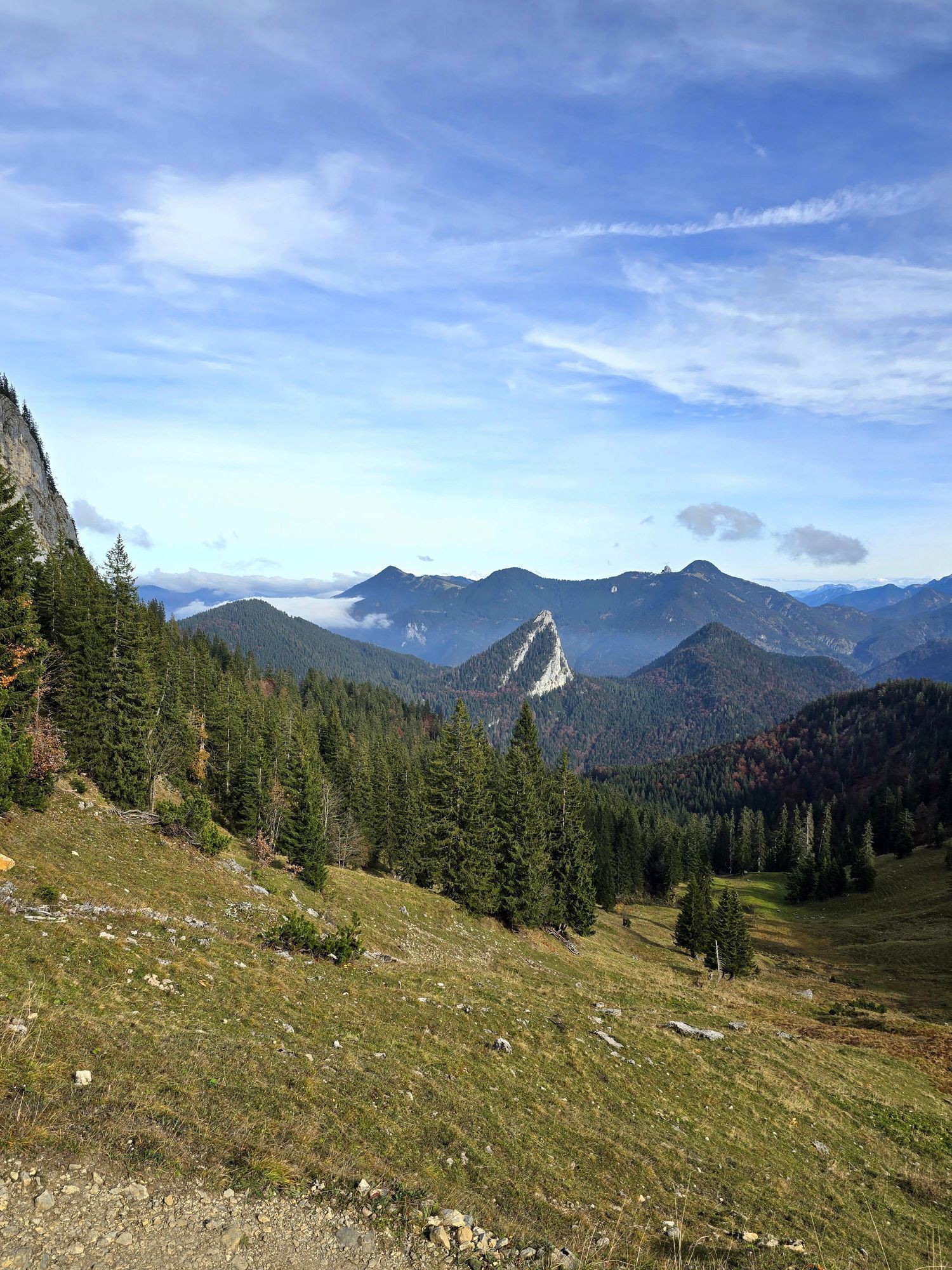
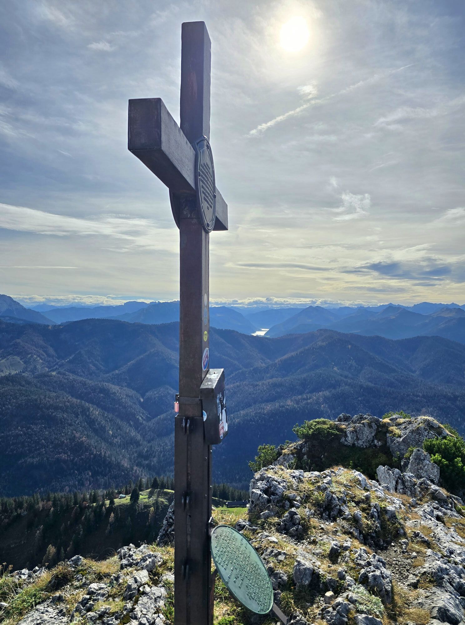
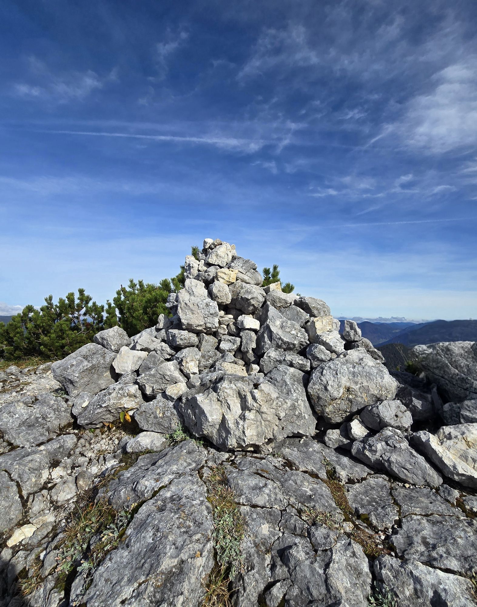
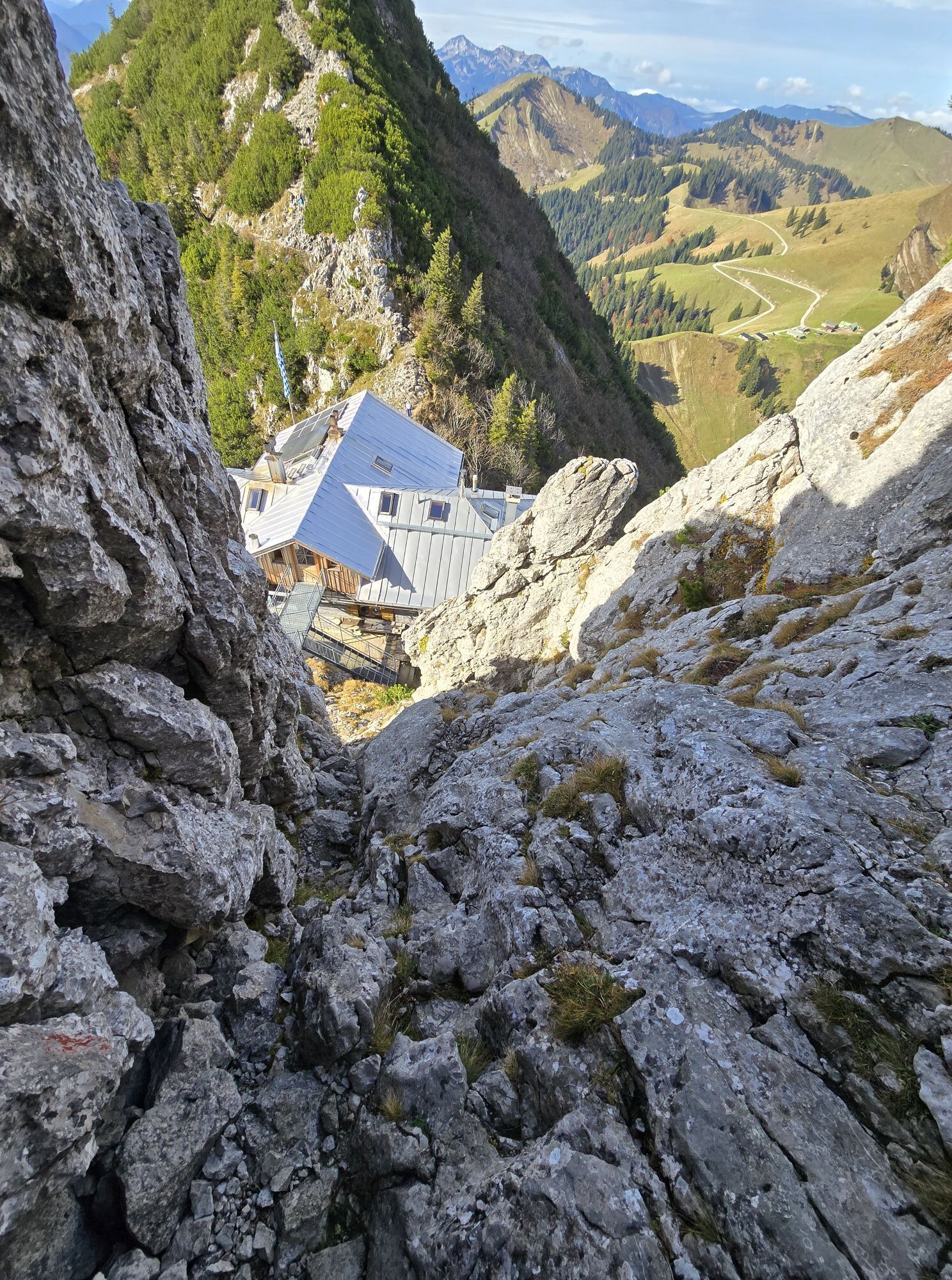
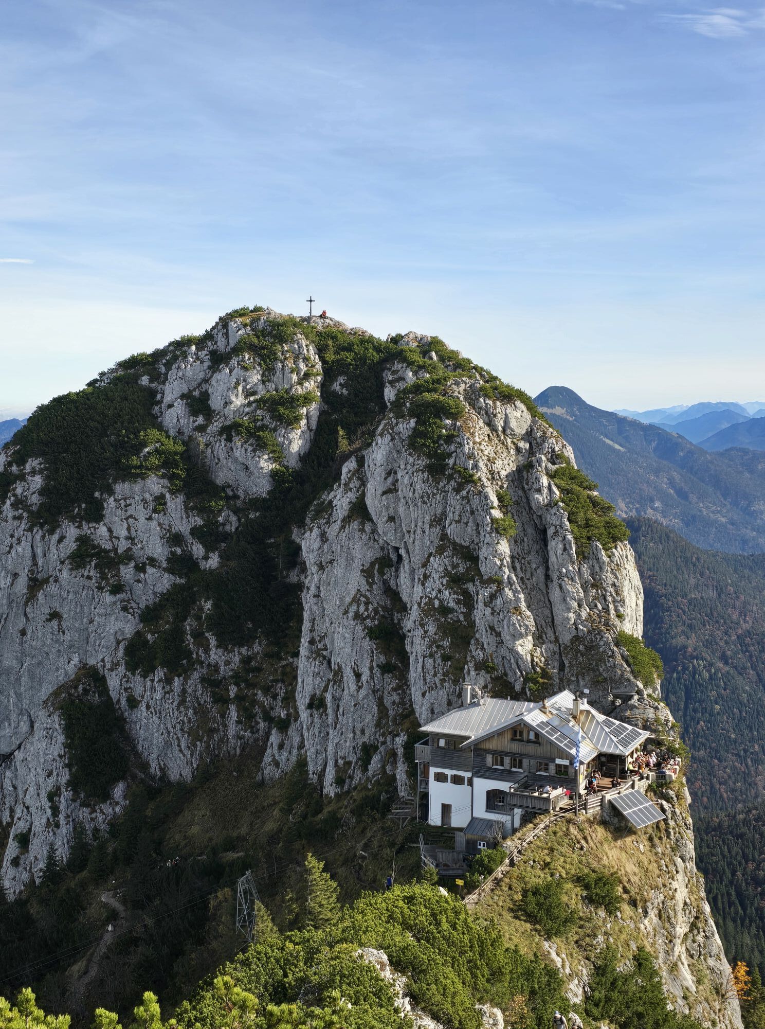
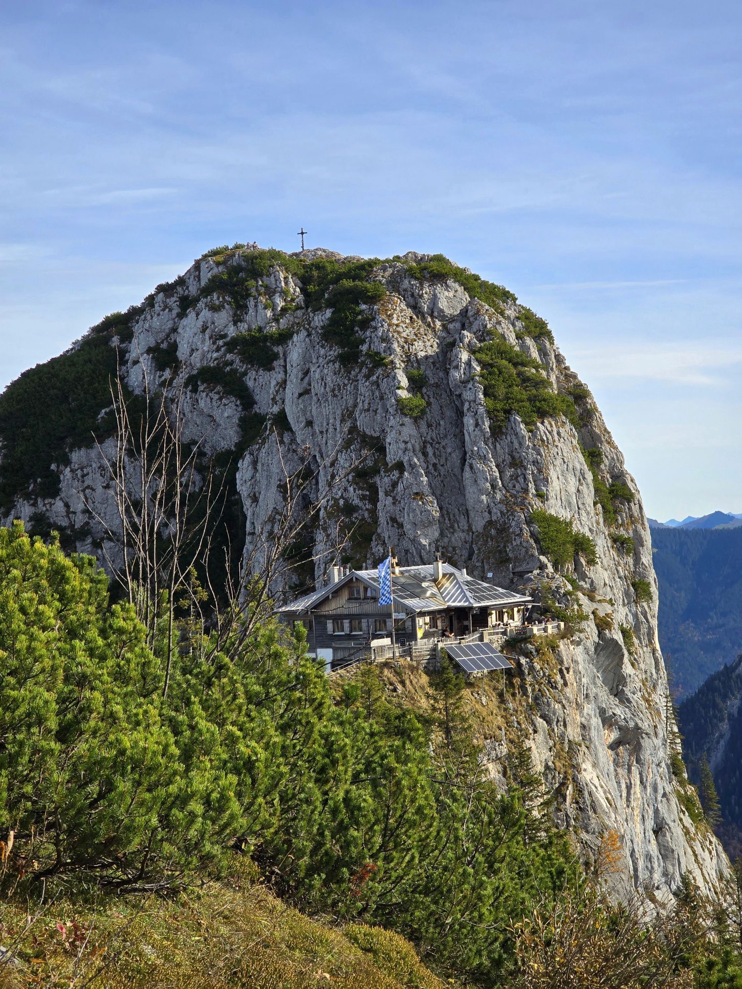
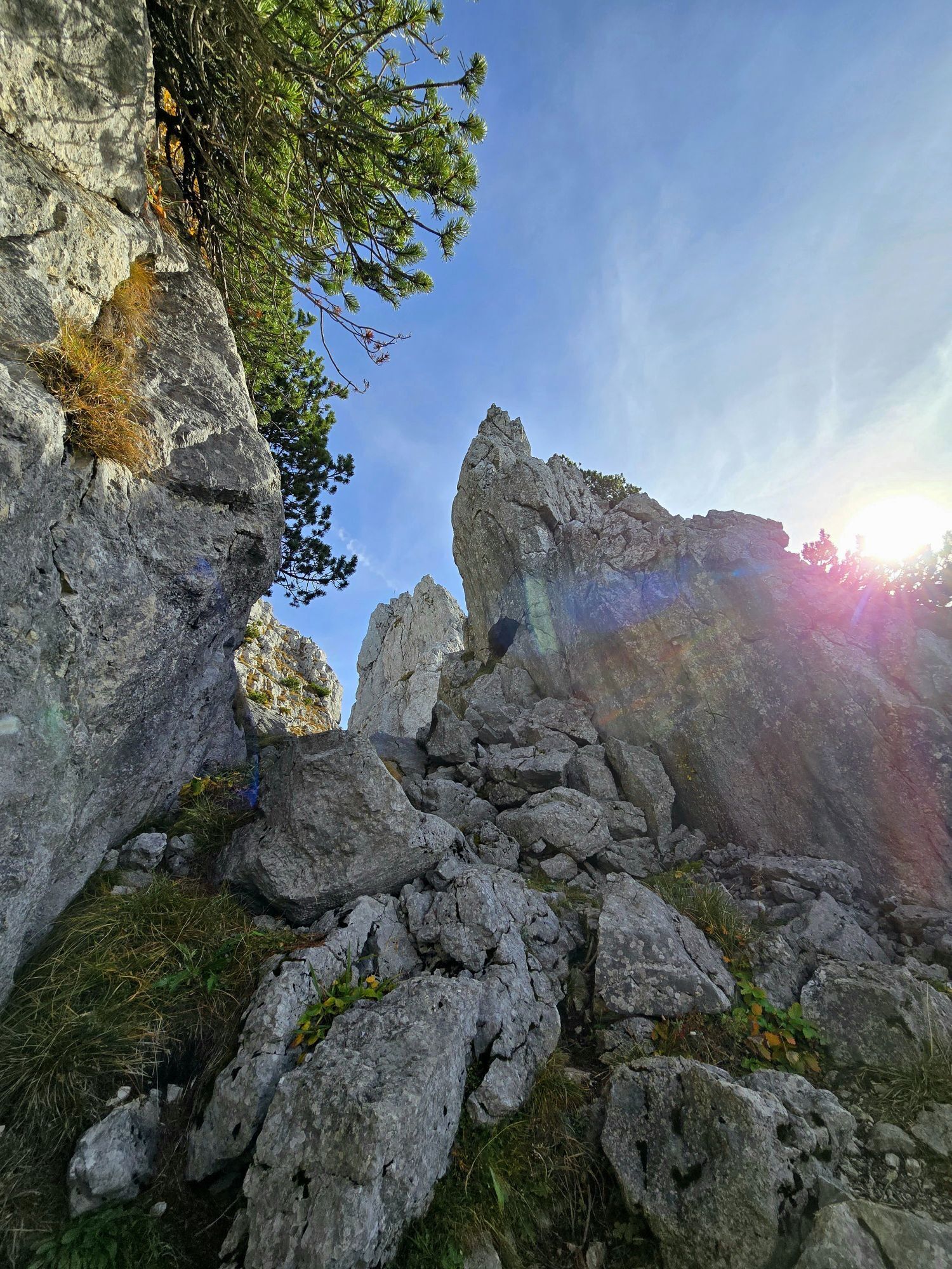
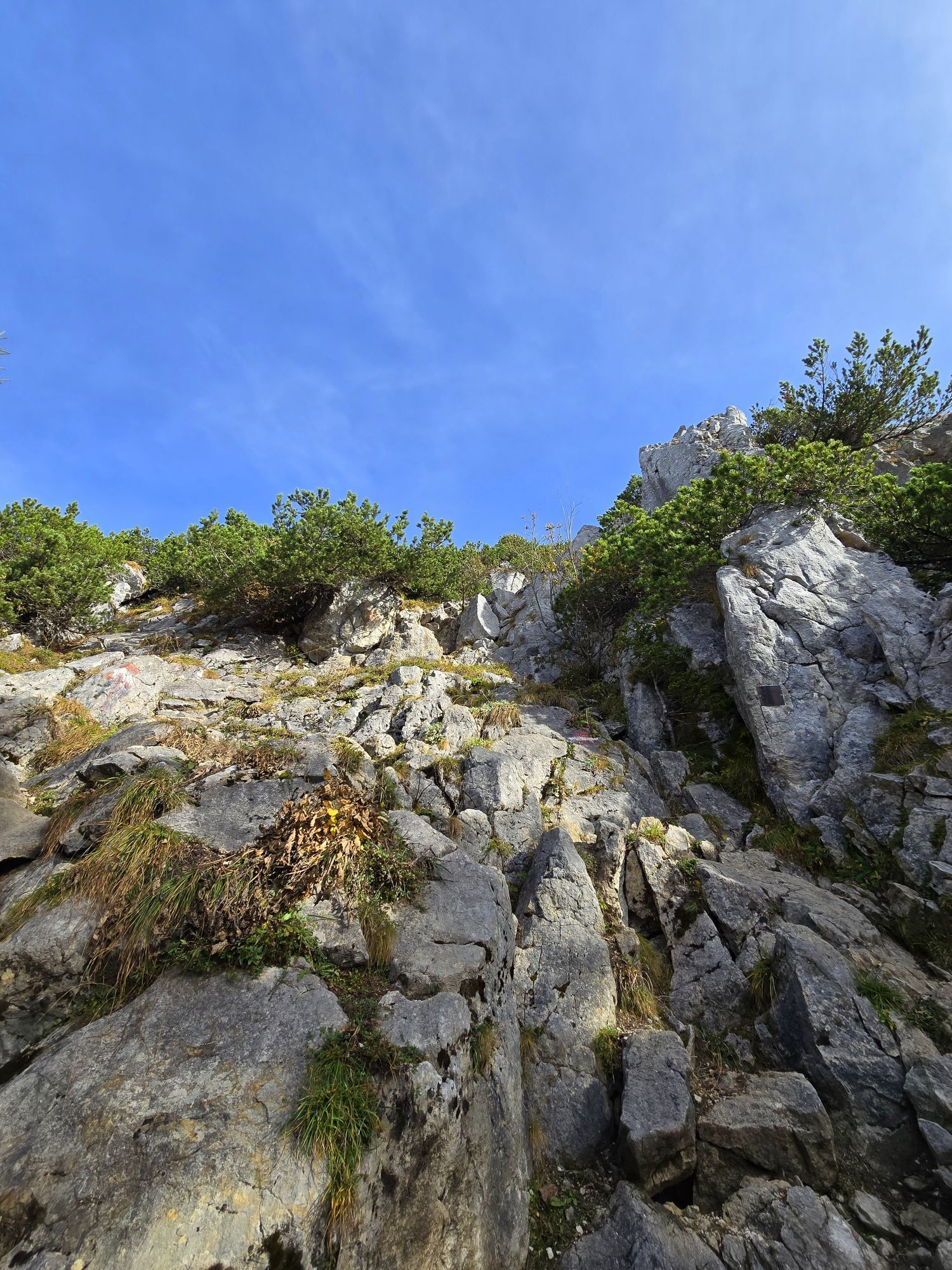
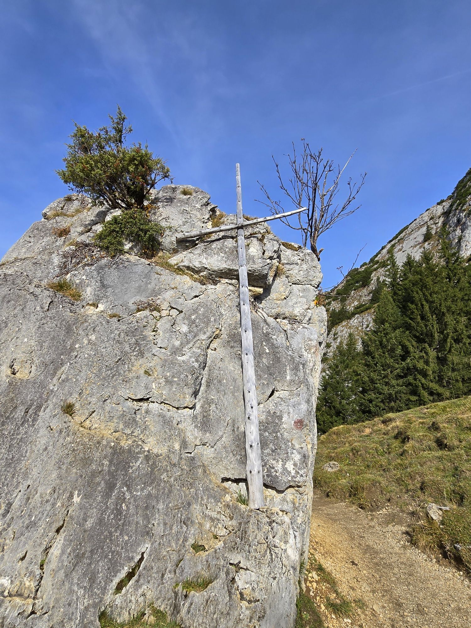
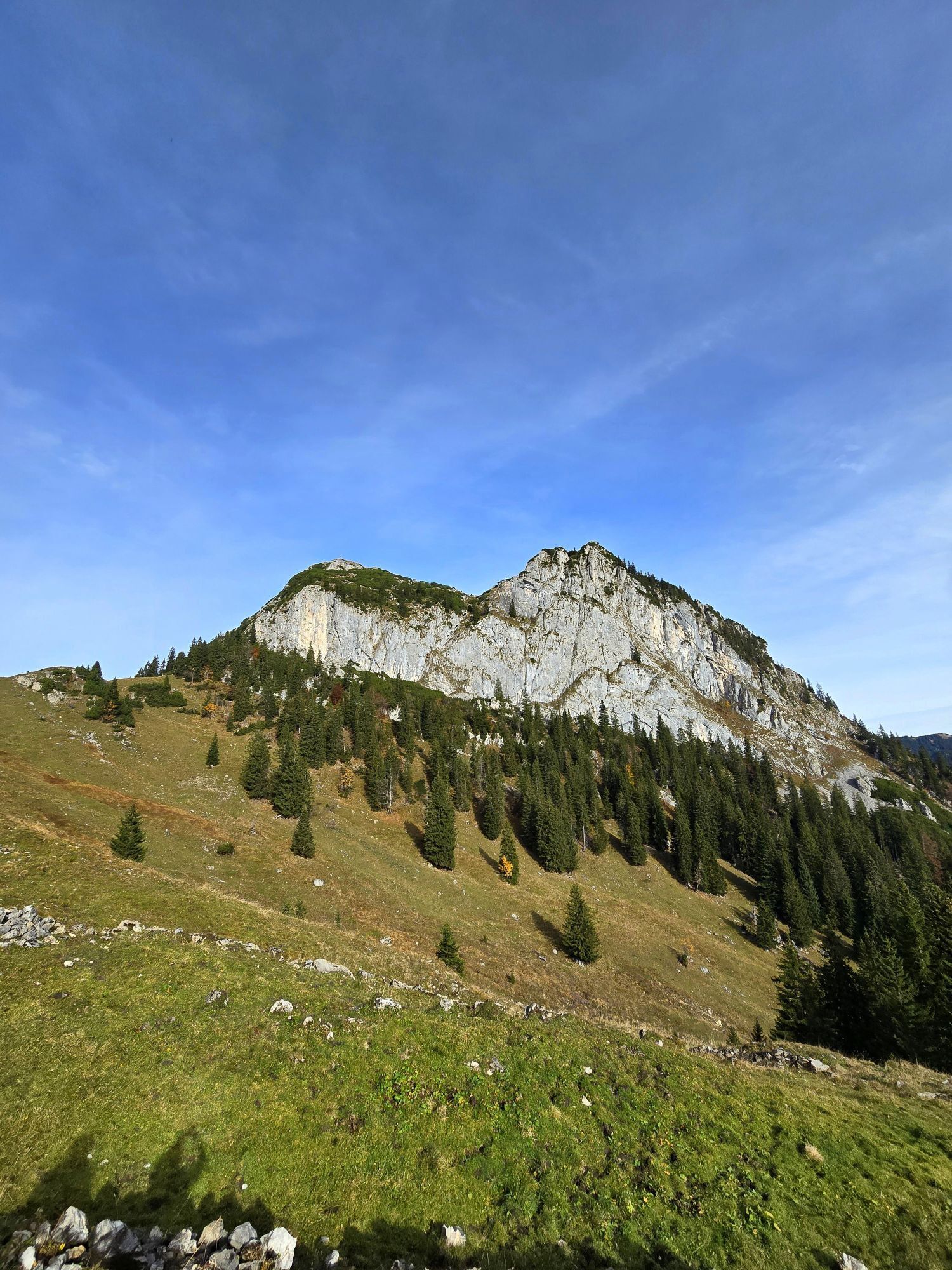
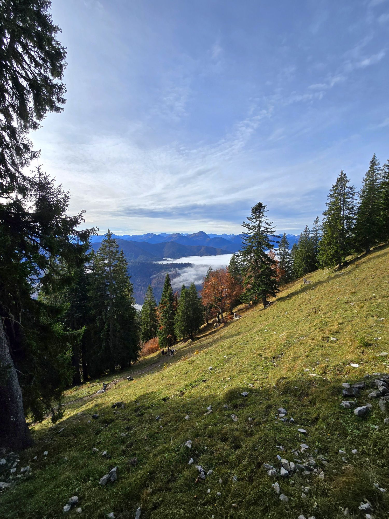
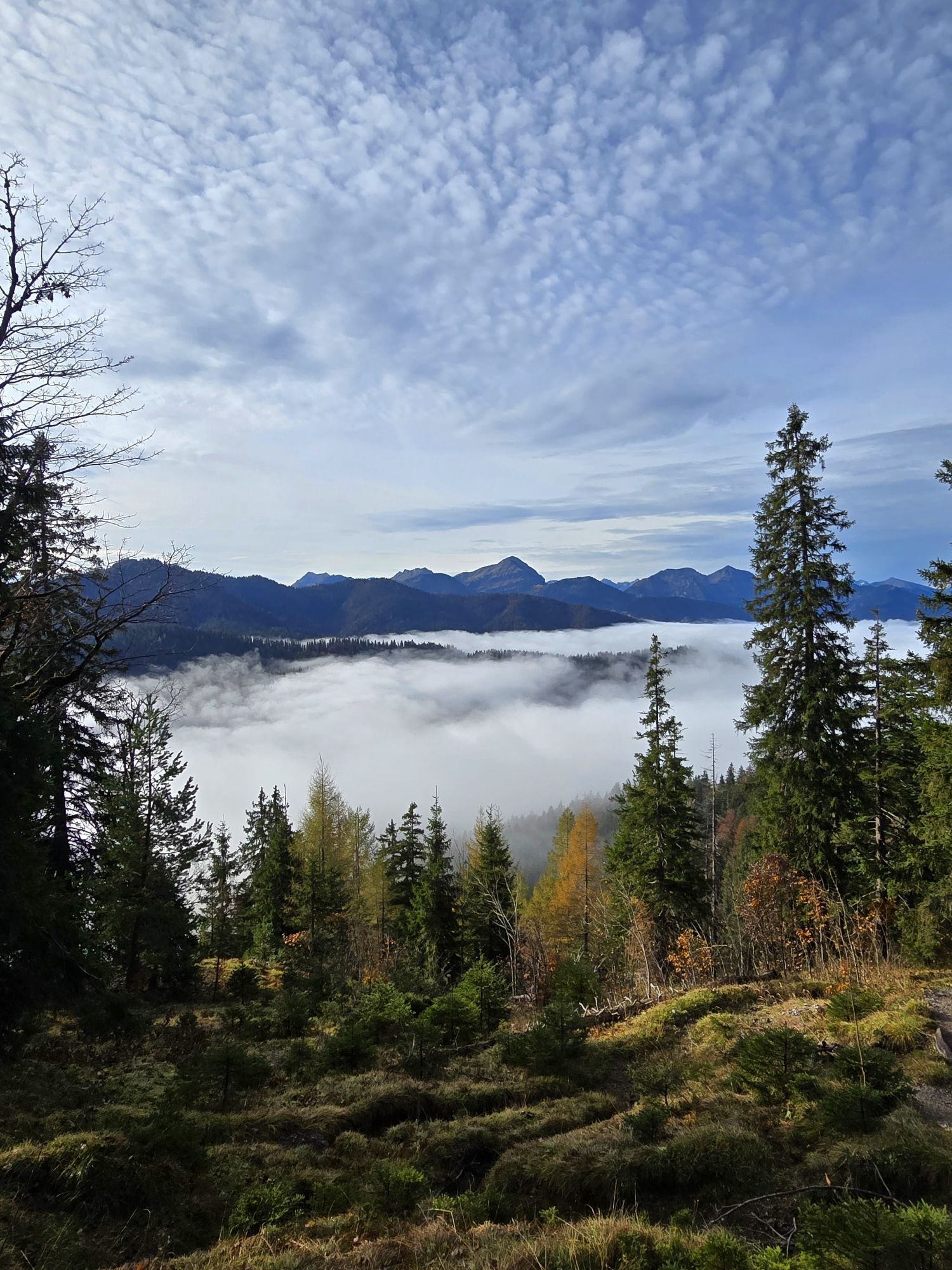
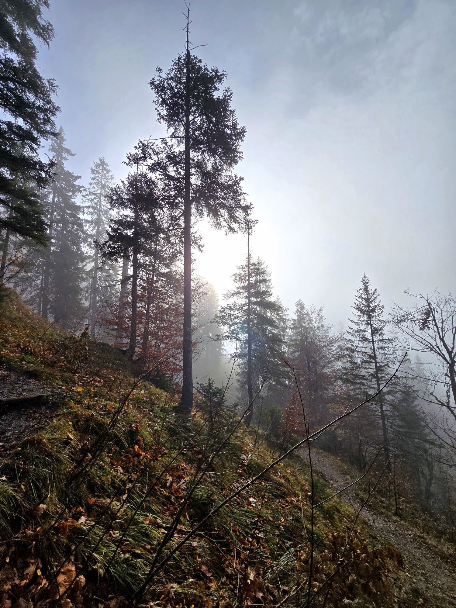
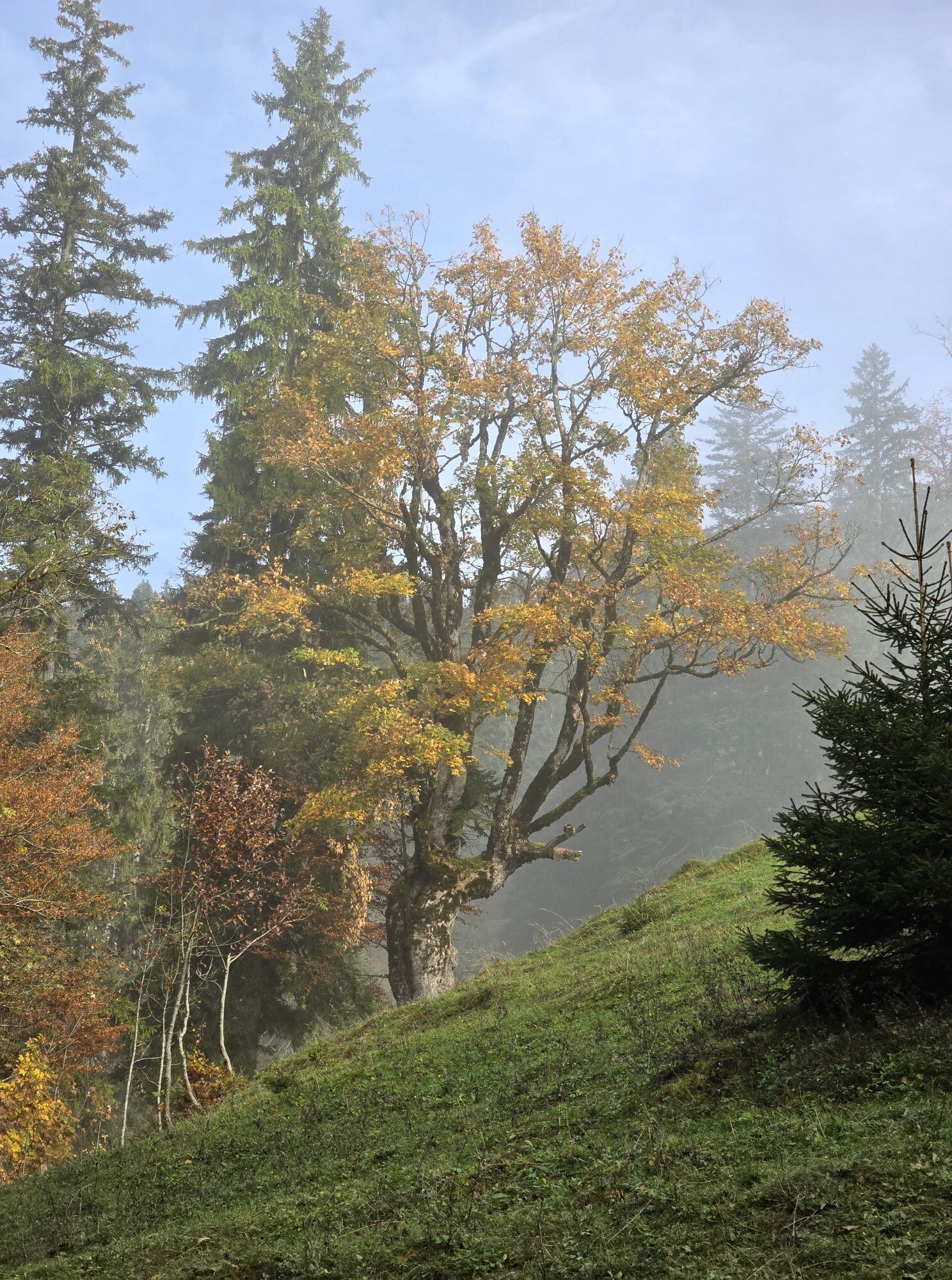
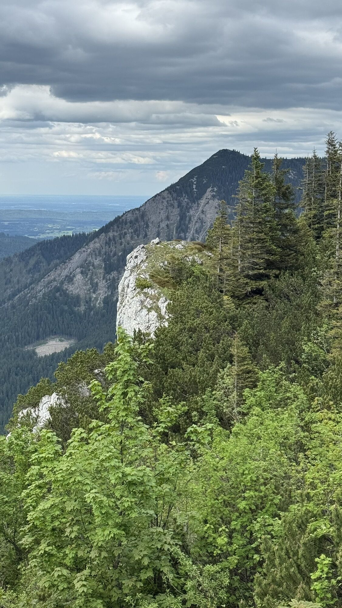
A rewarding stop in an exposed location as well as fantastic 360° panoramas make this summit dream route a very special mountain experience. The view towards Achensee, Karwendel and the Northern Alpine...
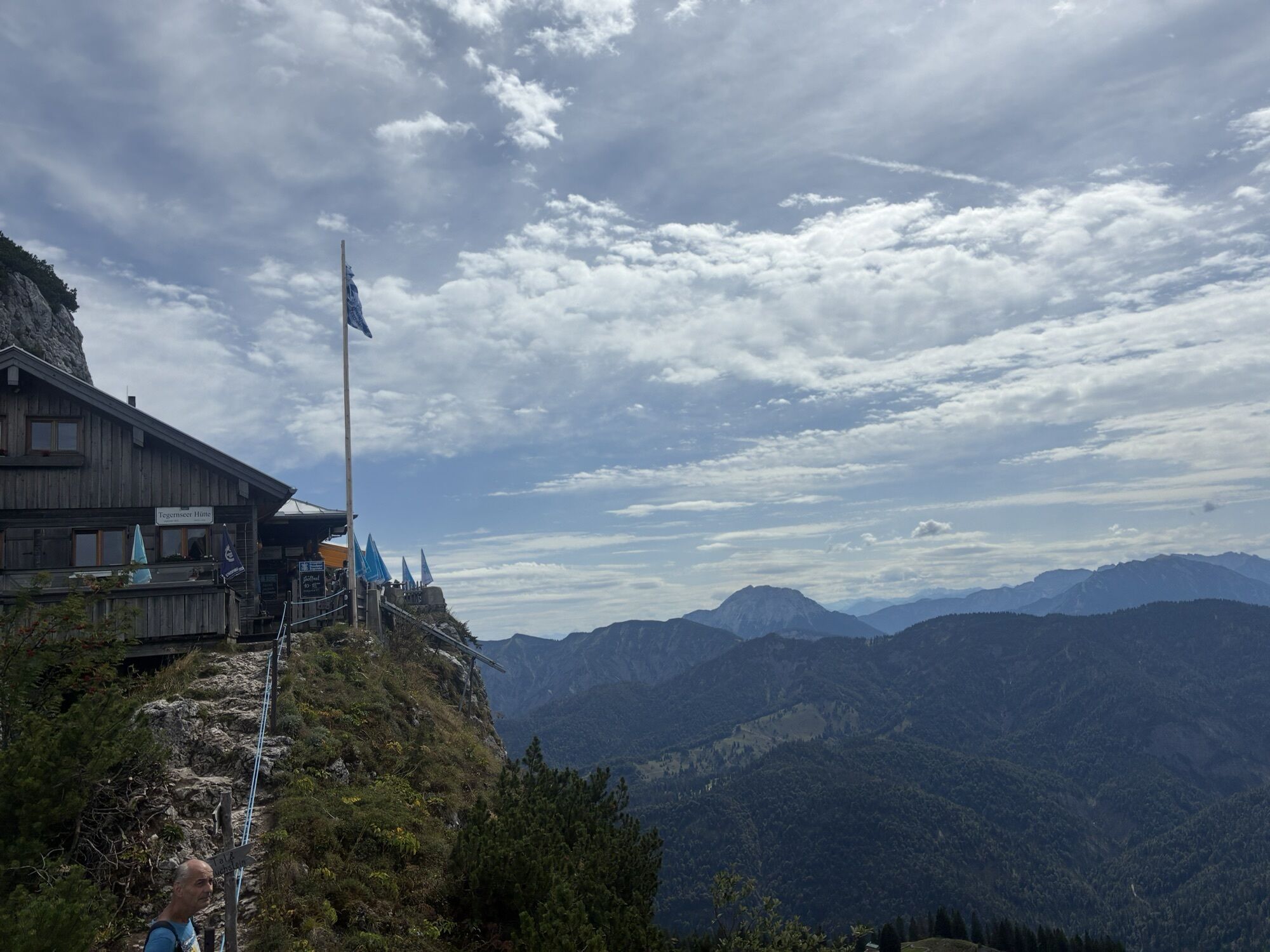
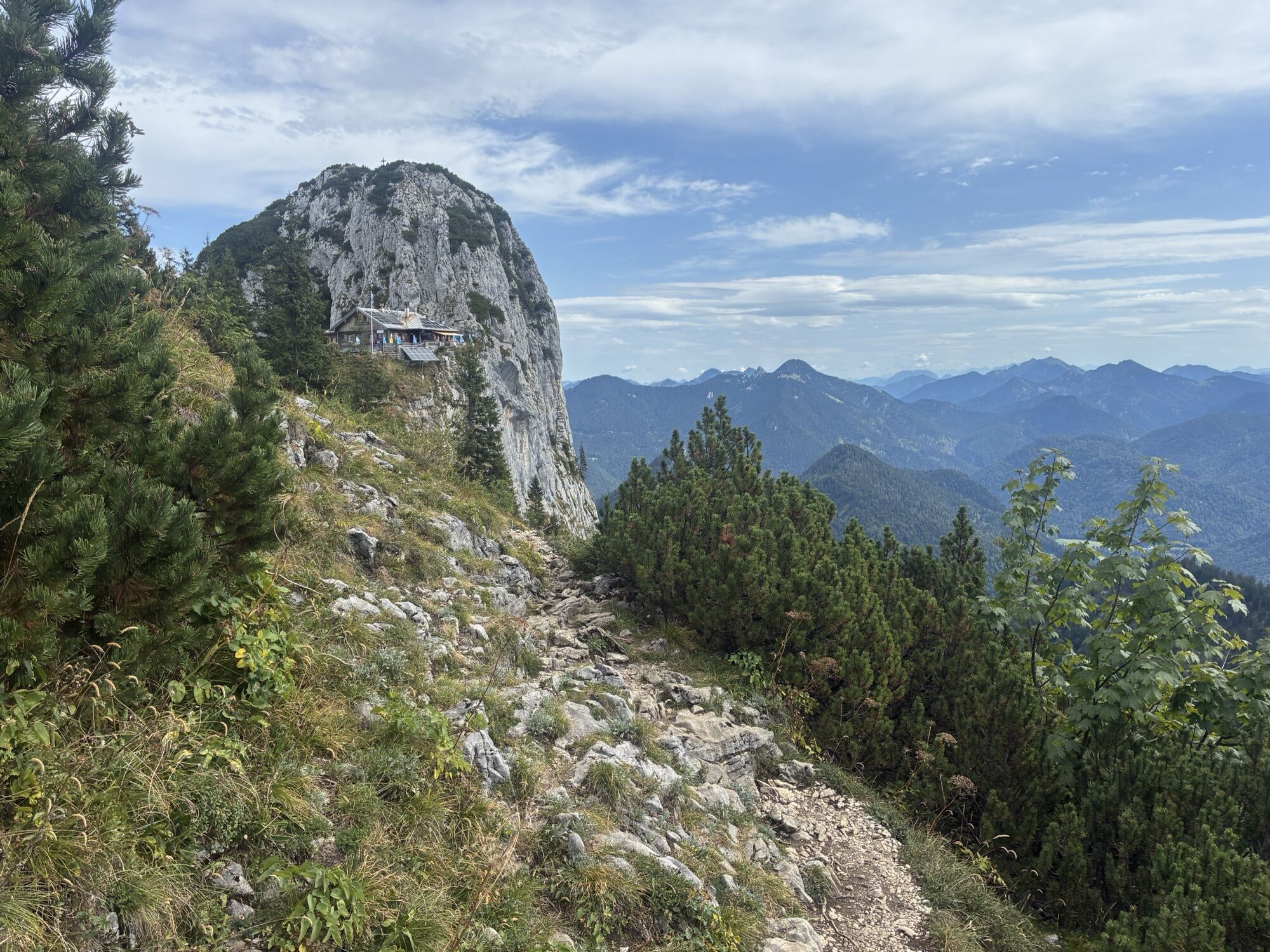
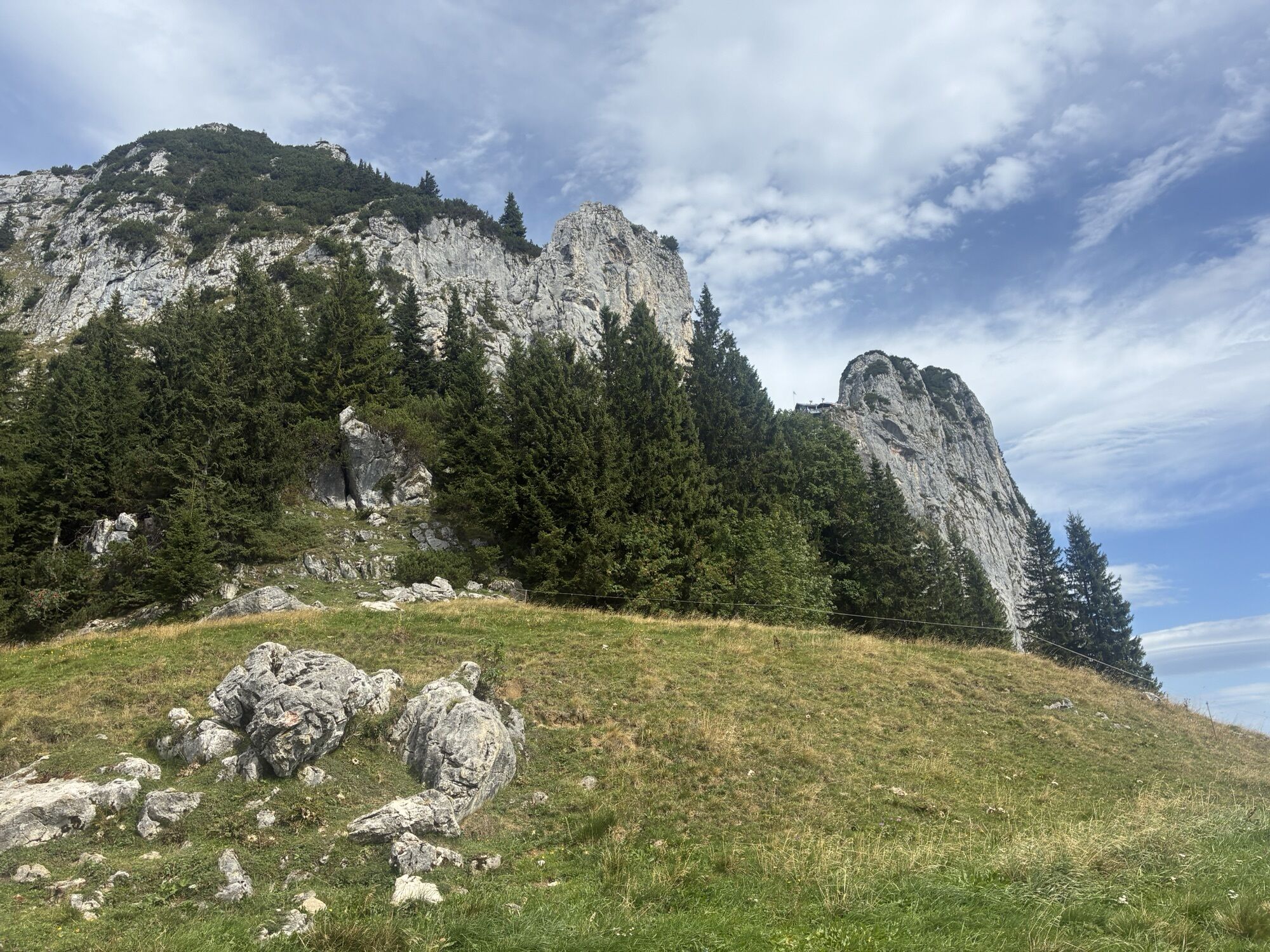
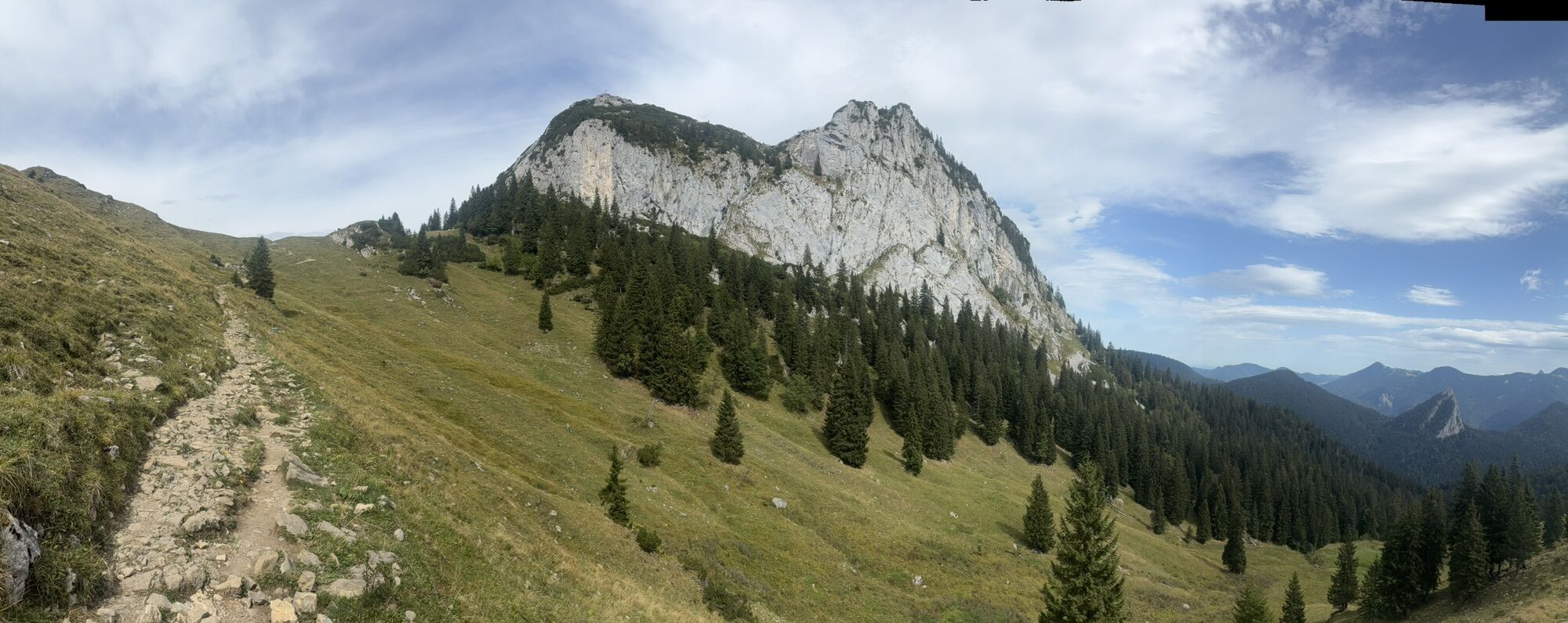
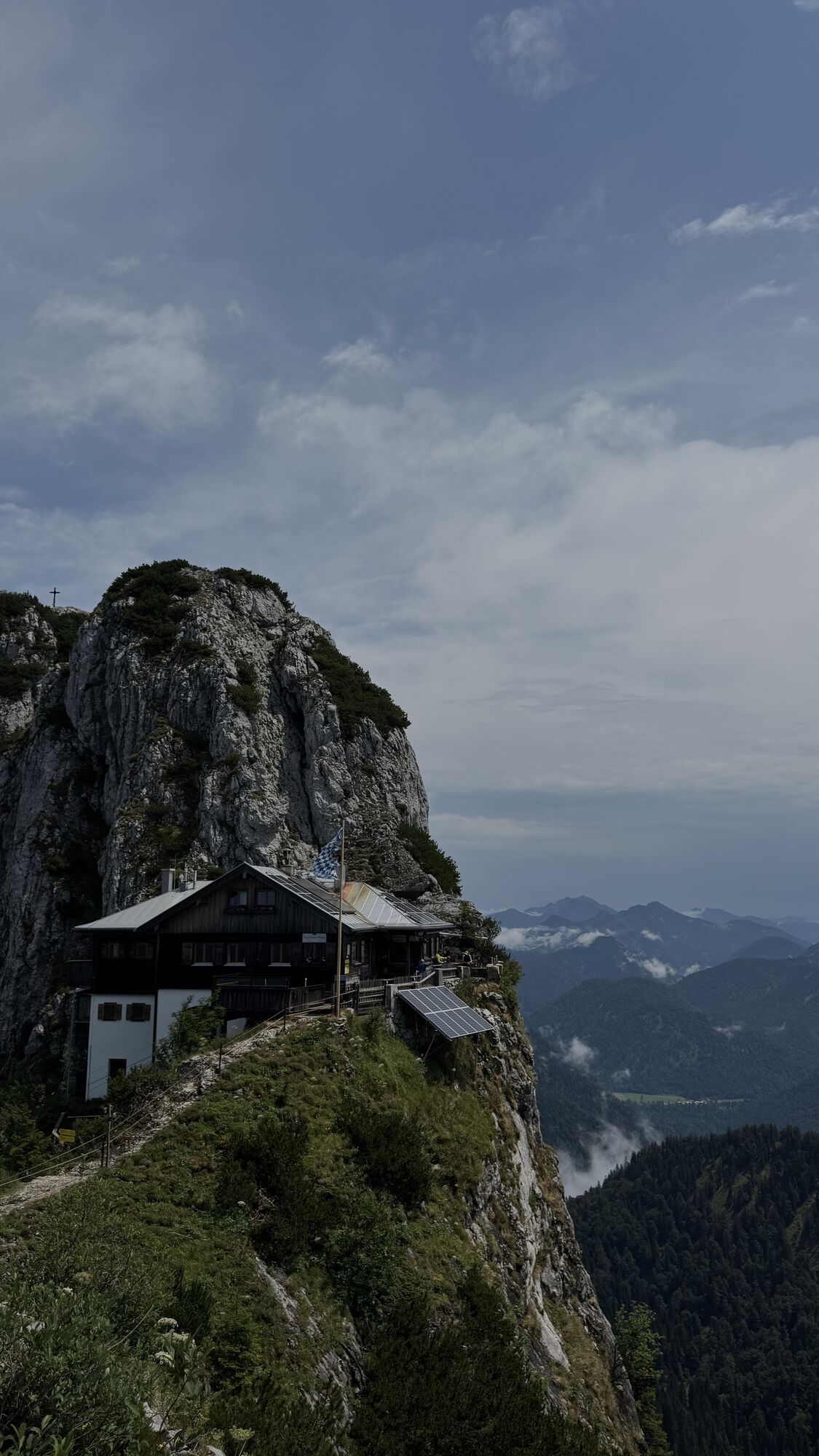
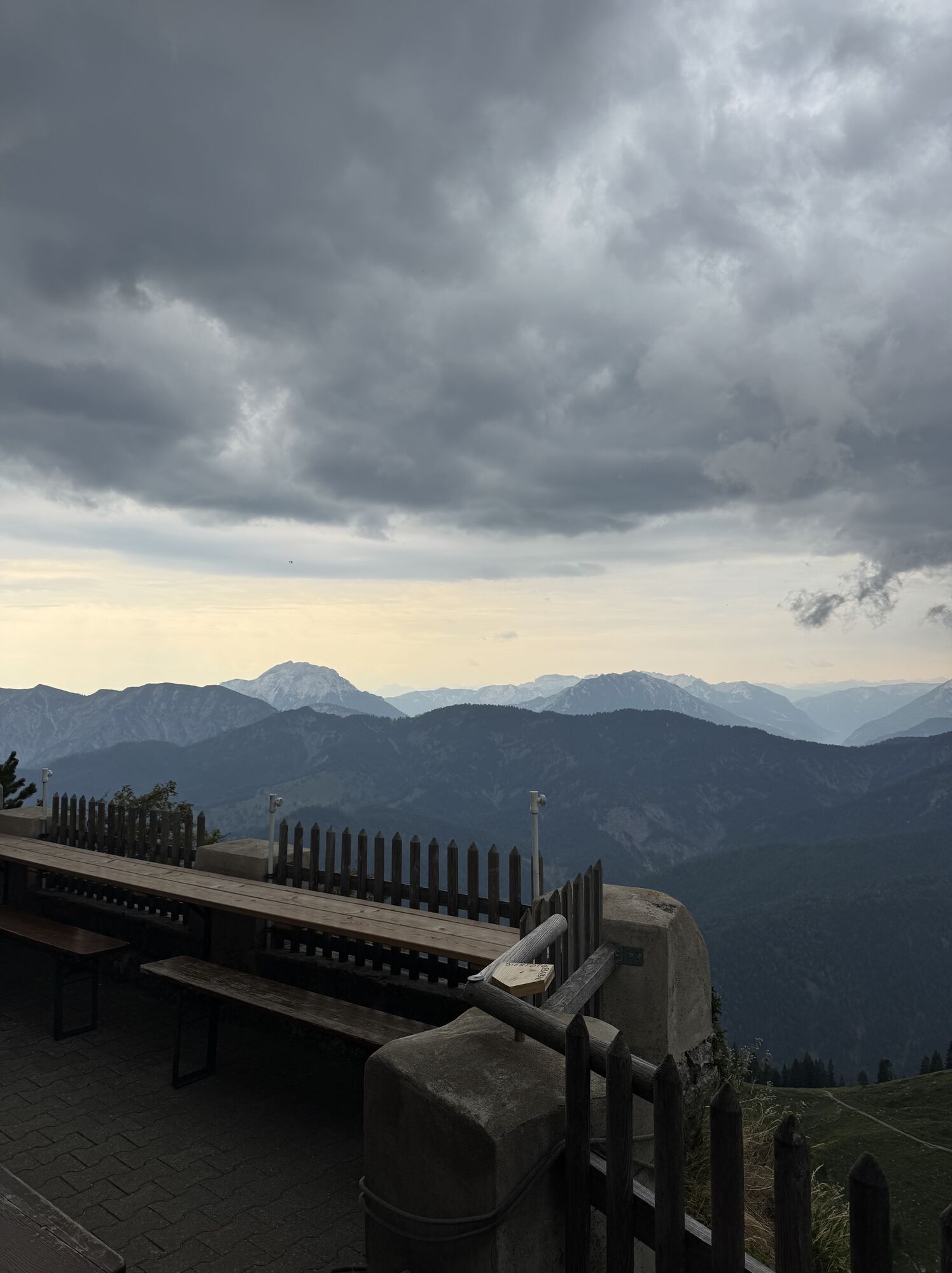
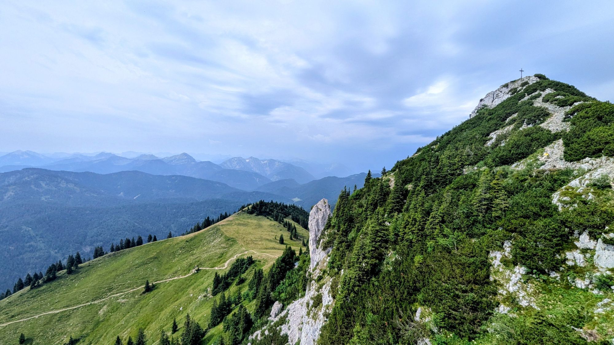
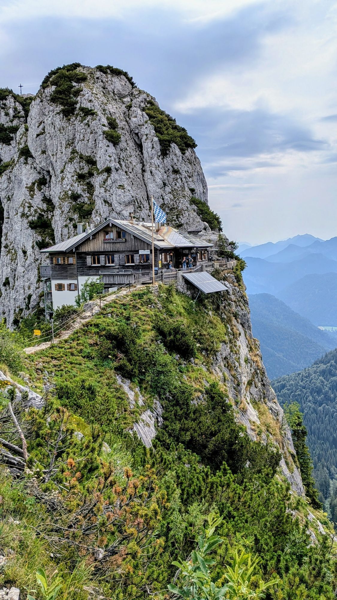
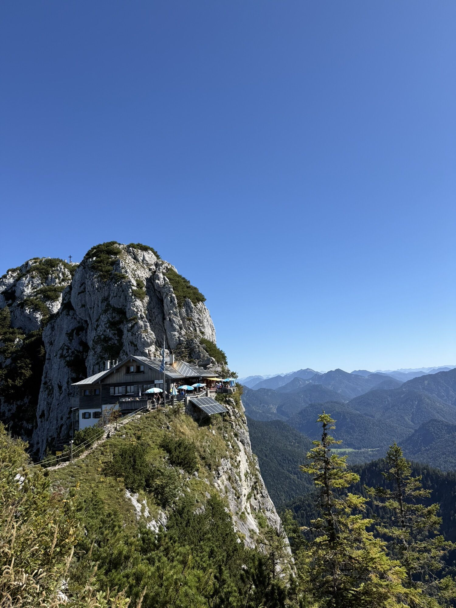
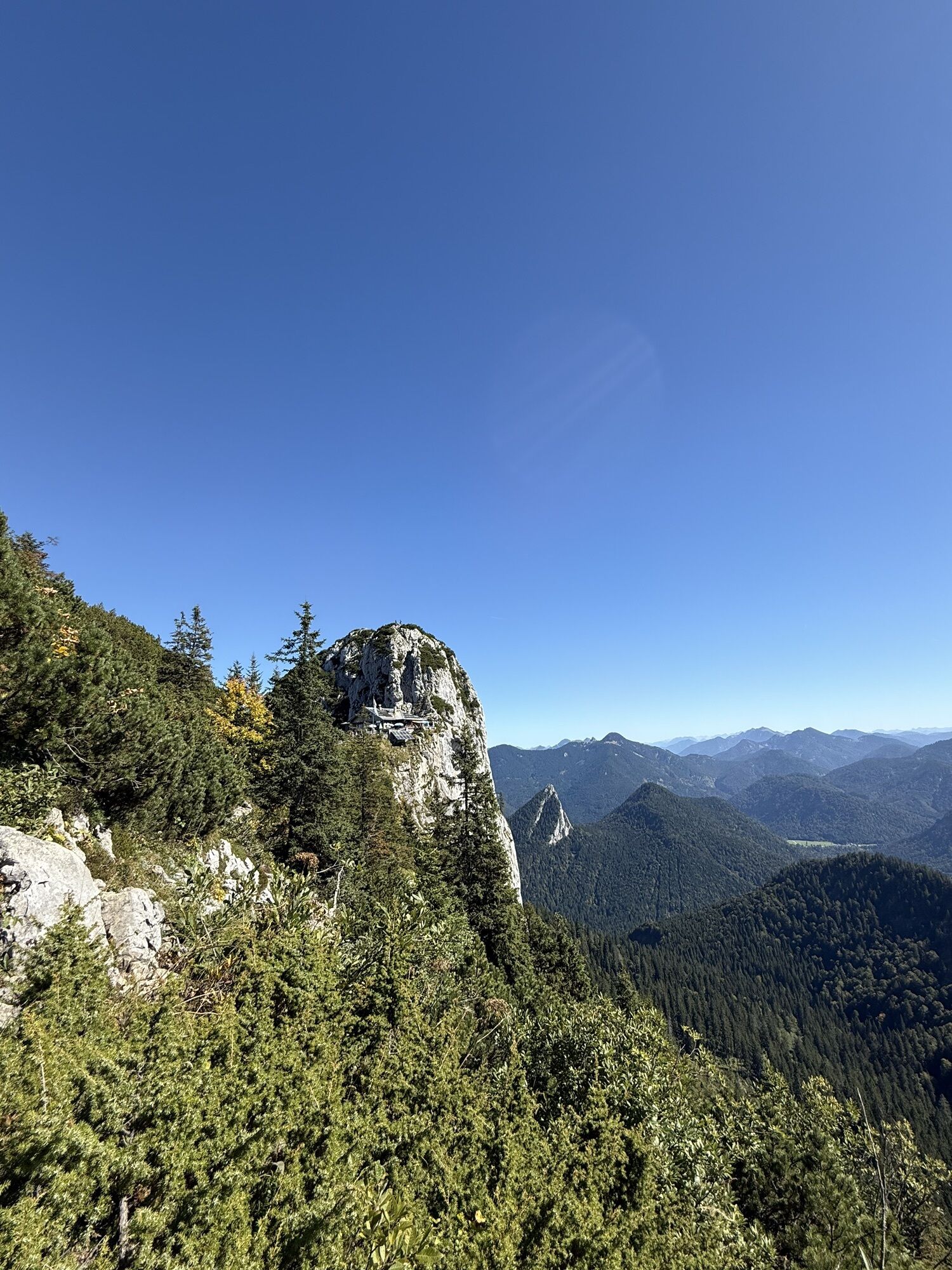
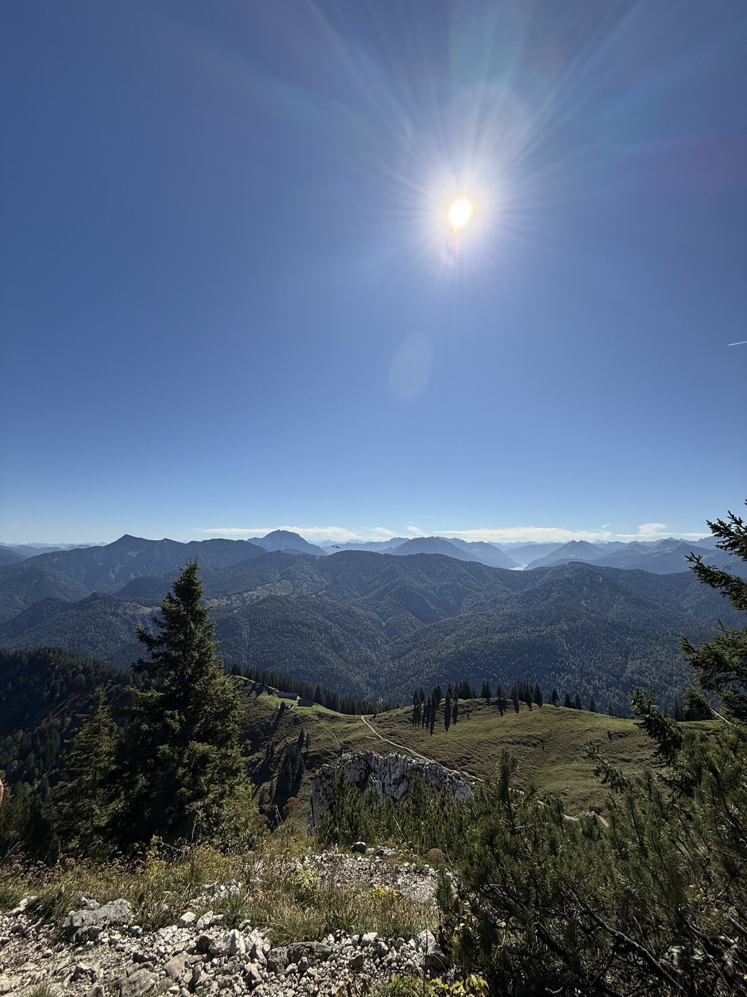
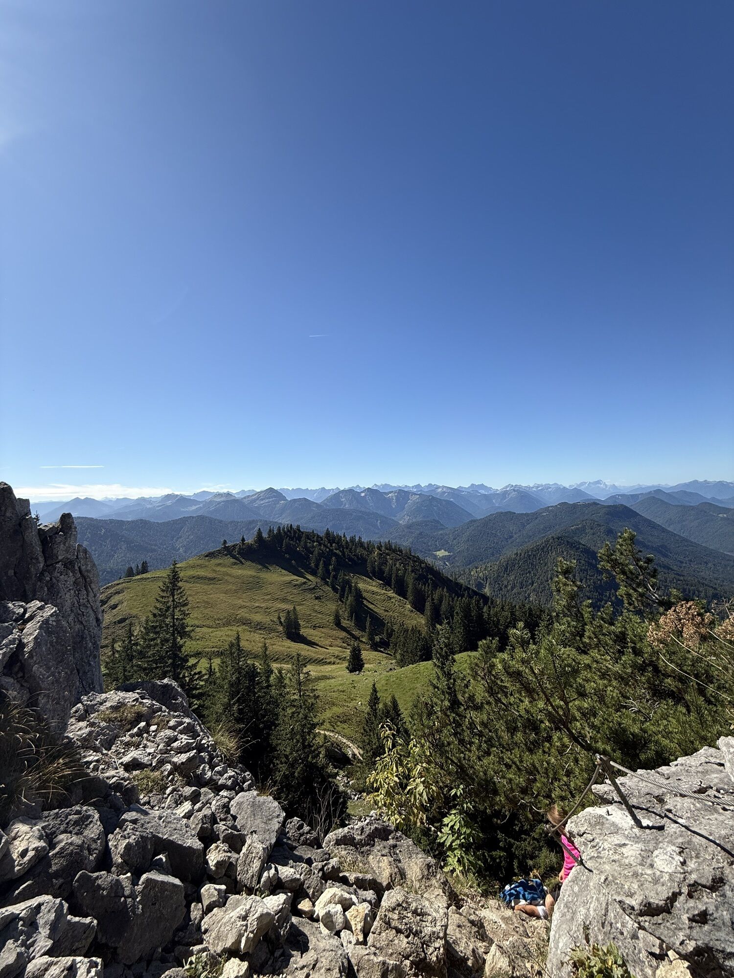
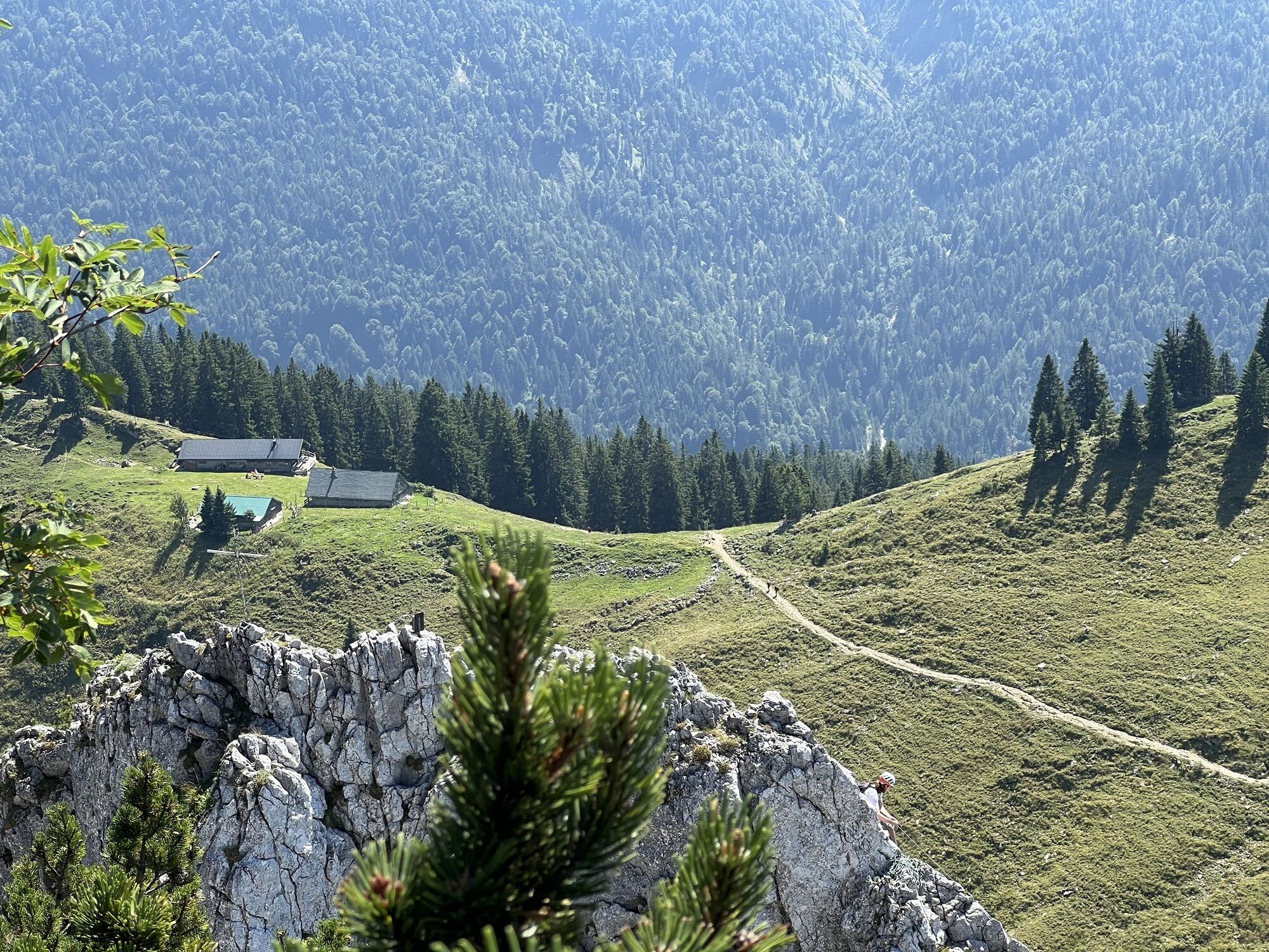
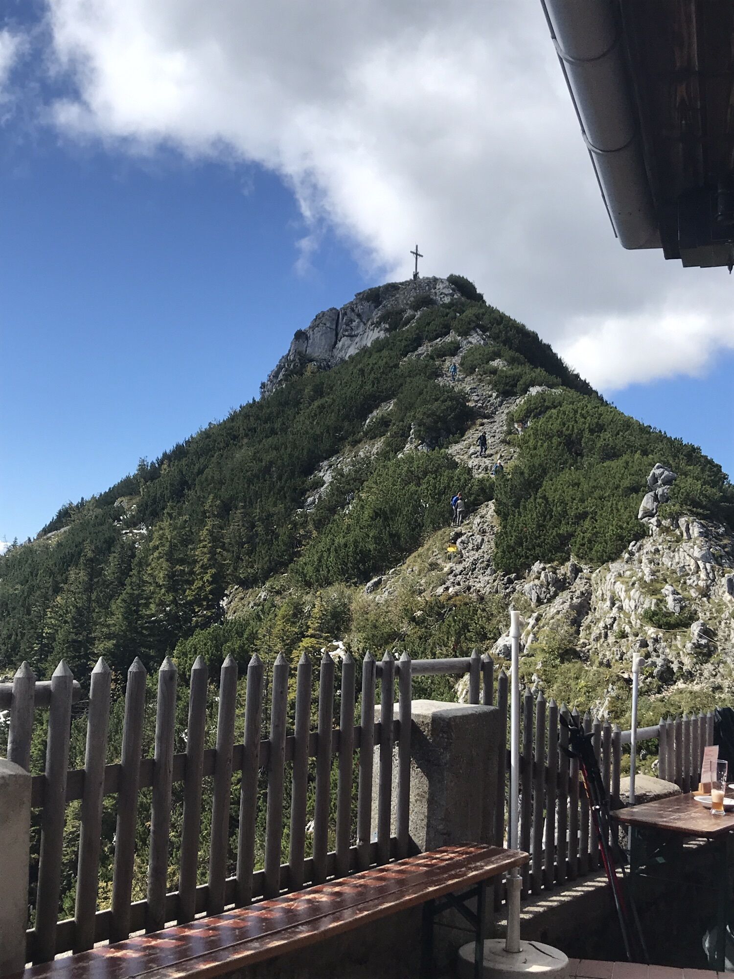
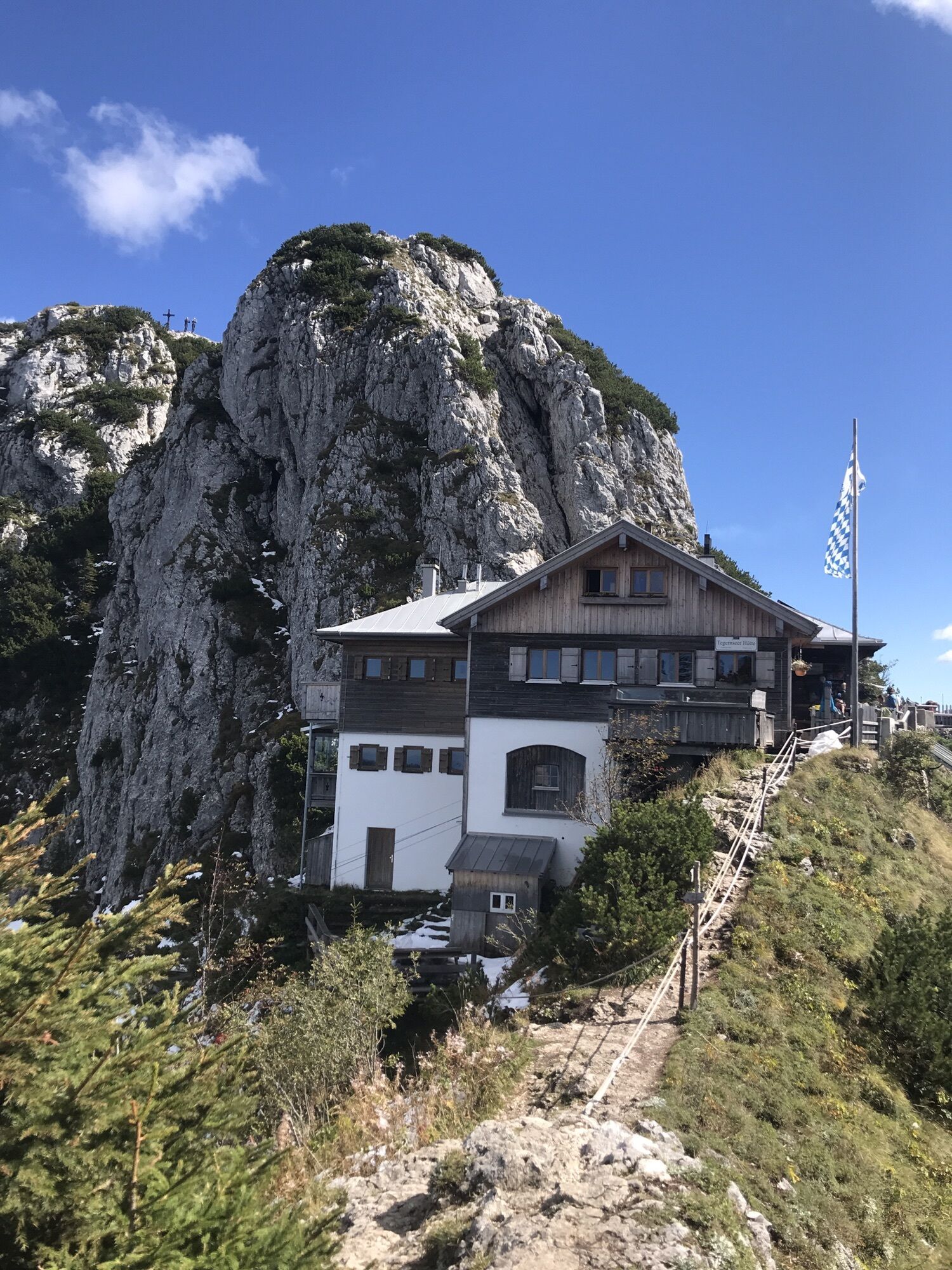
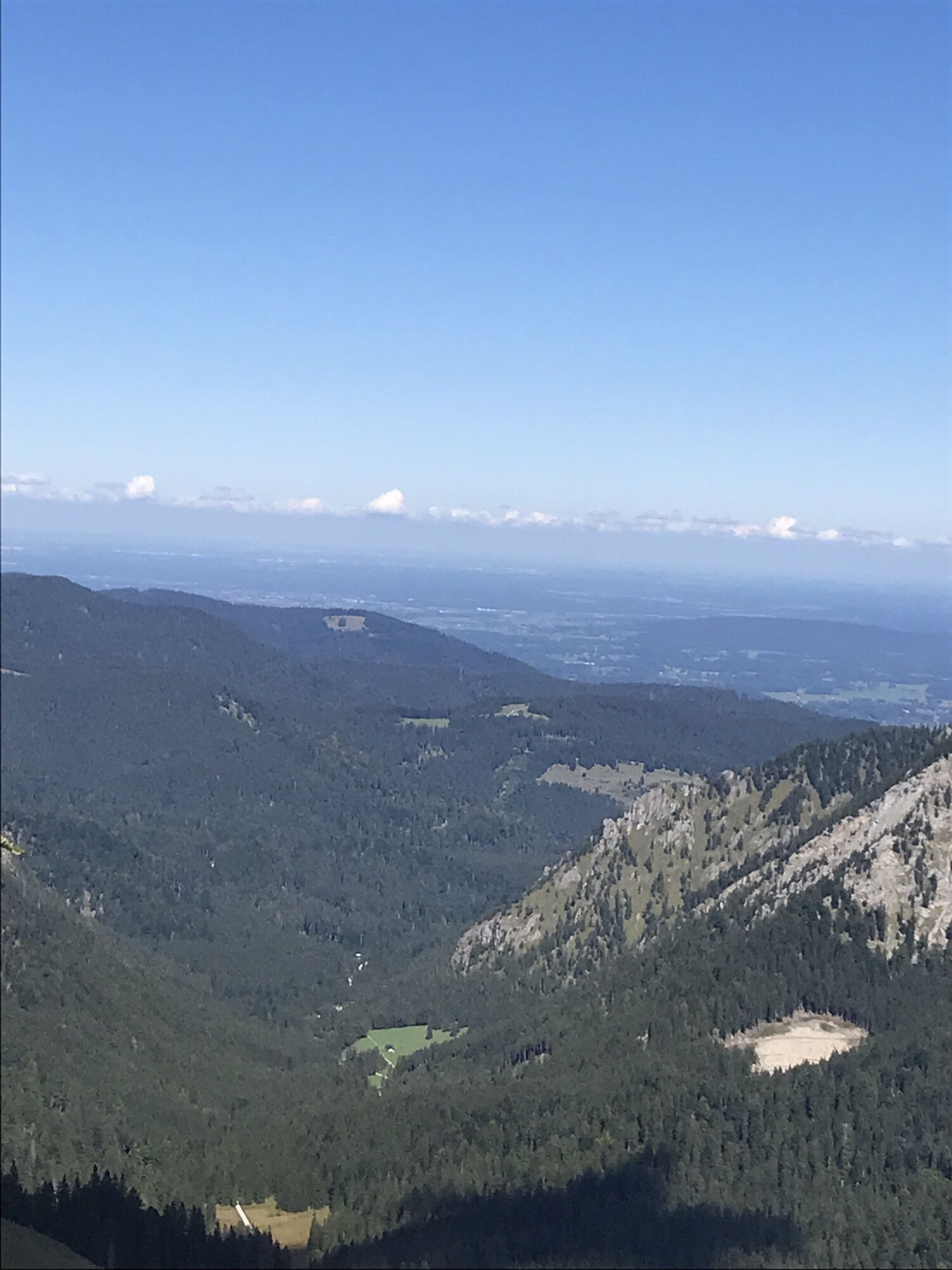
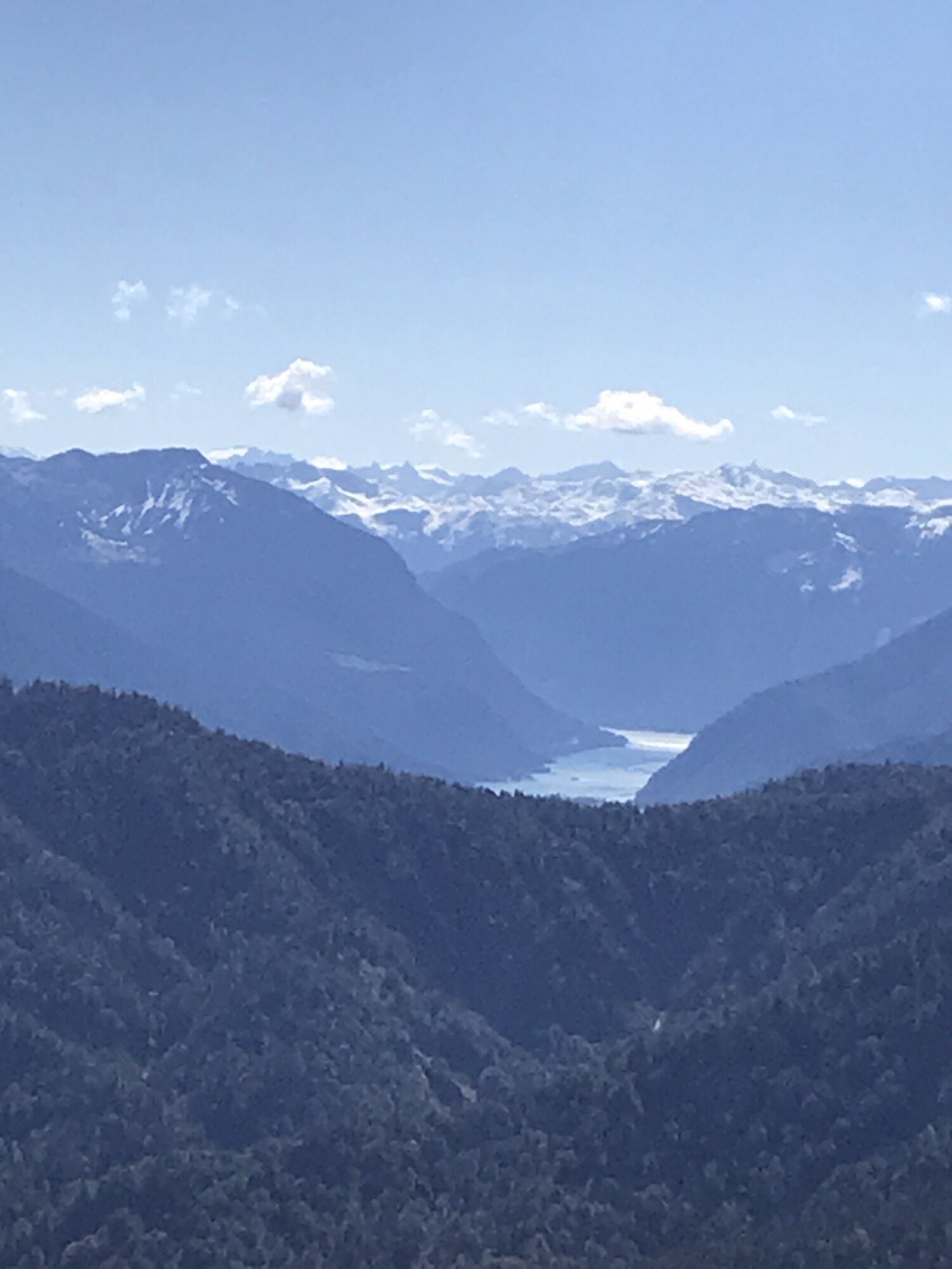
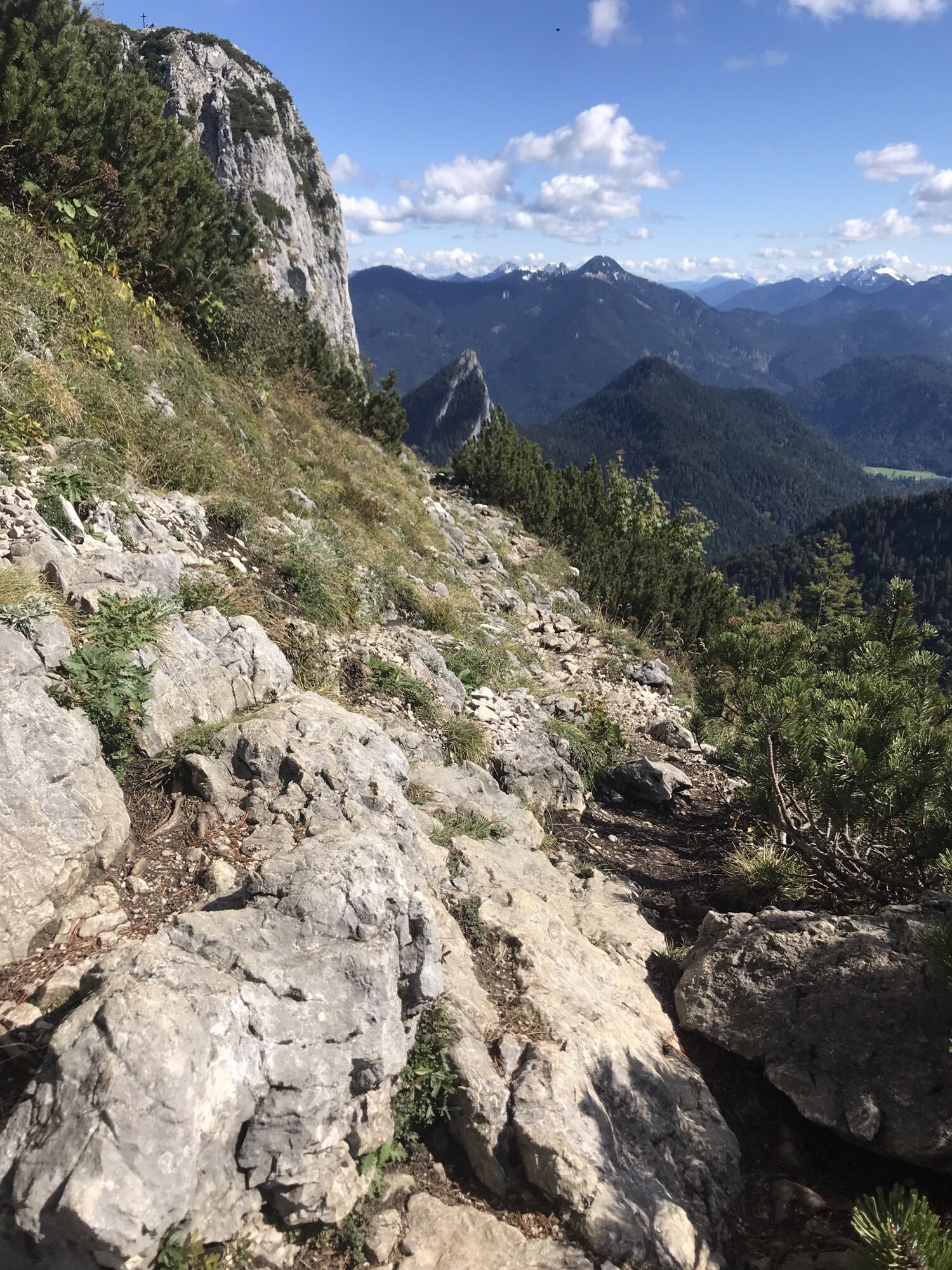
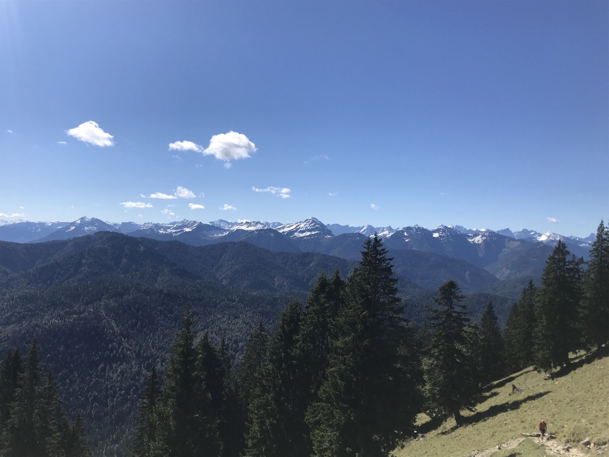
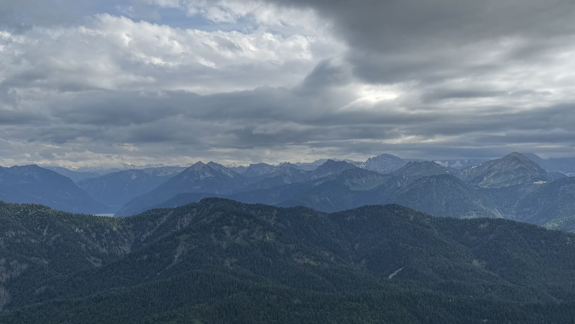
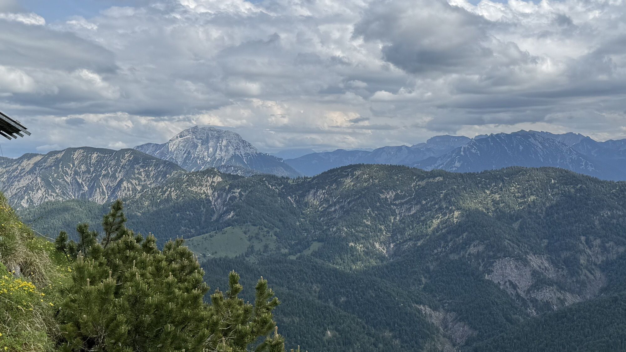
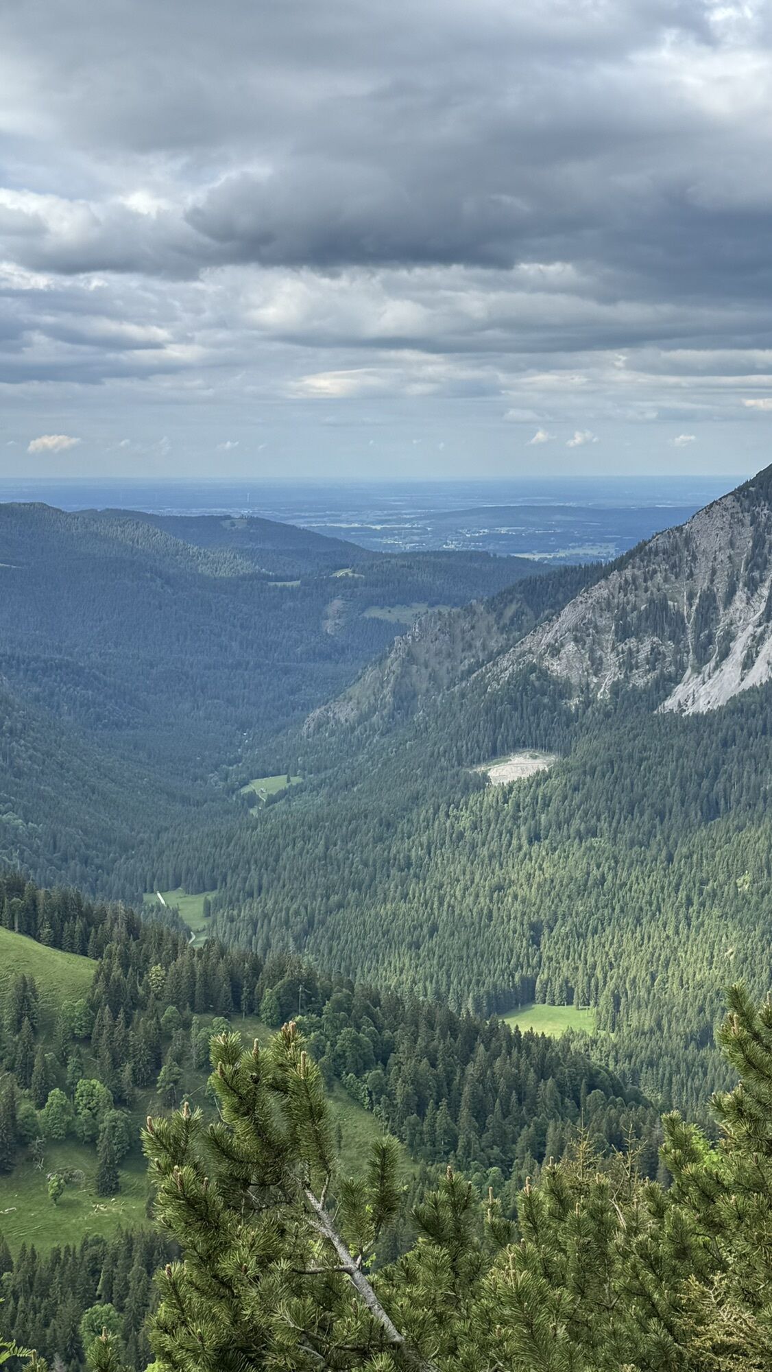
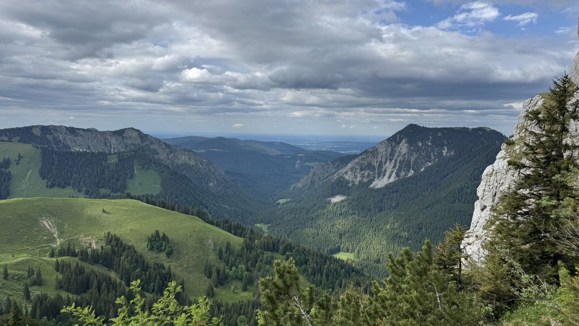
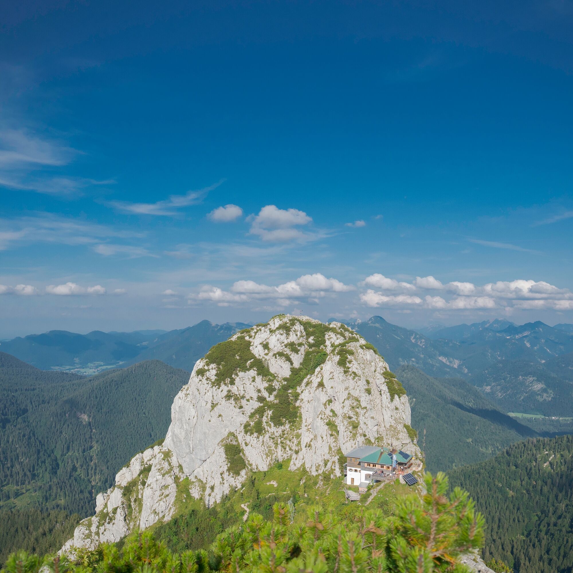
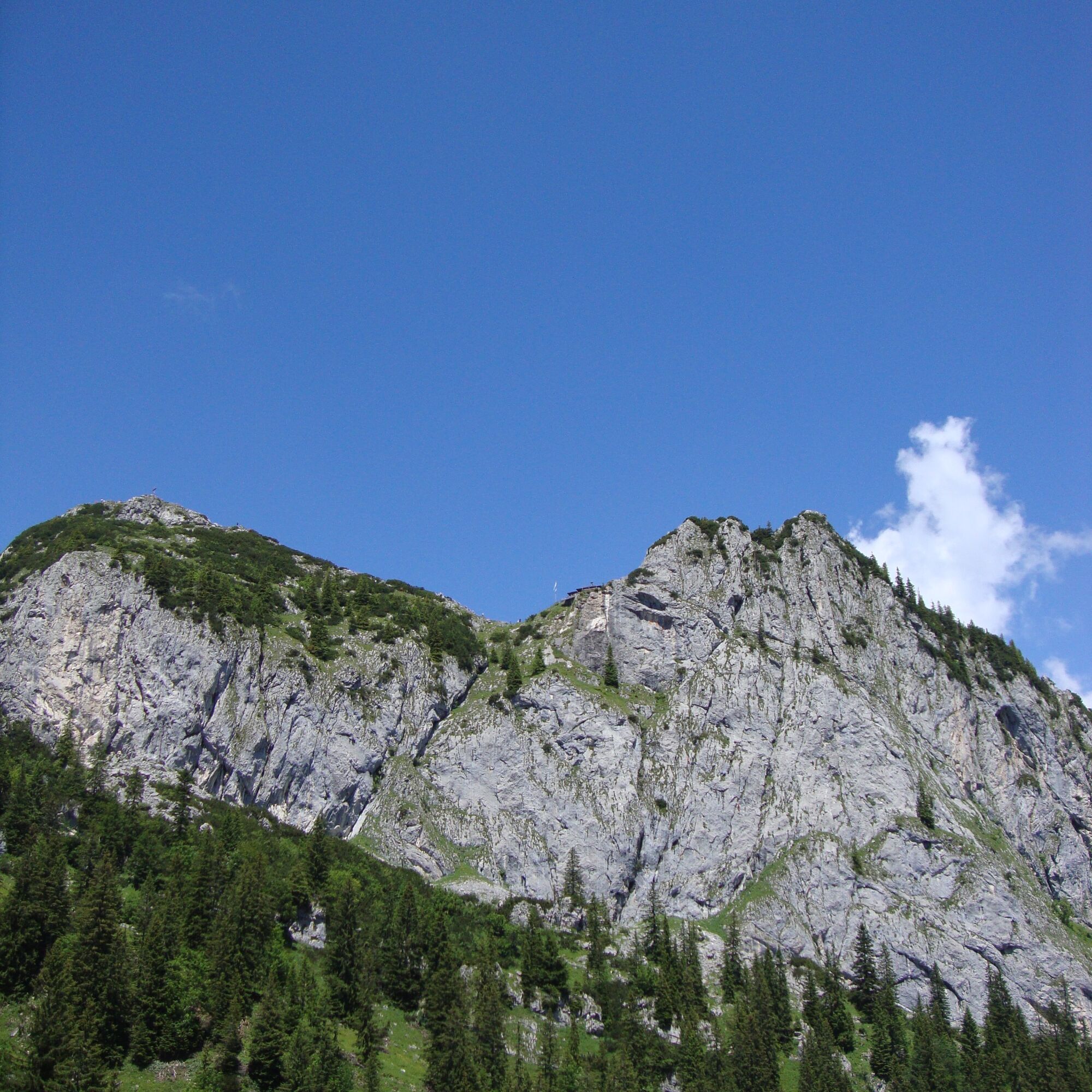
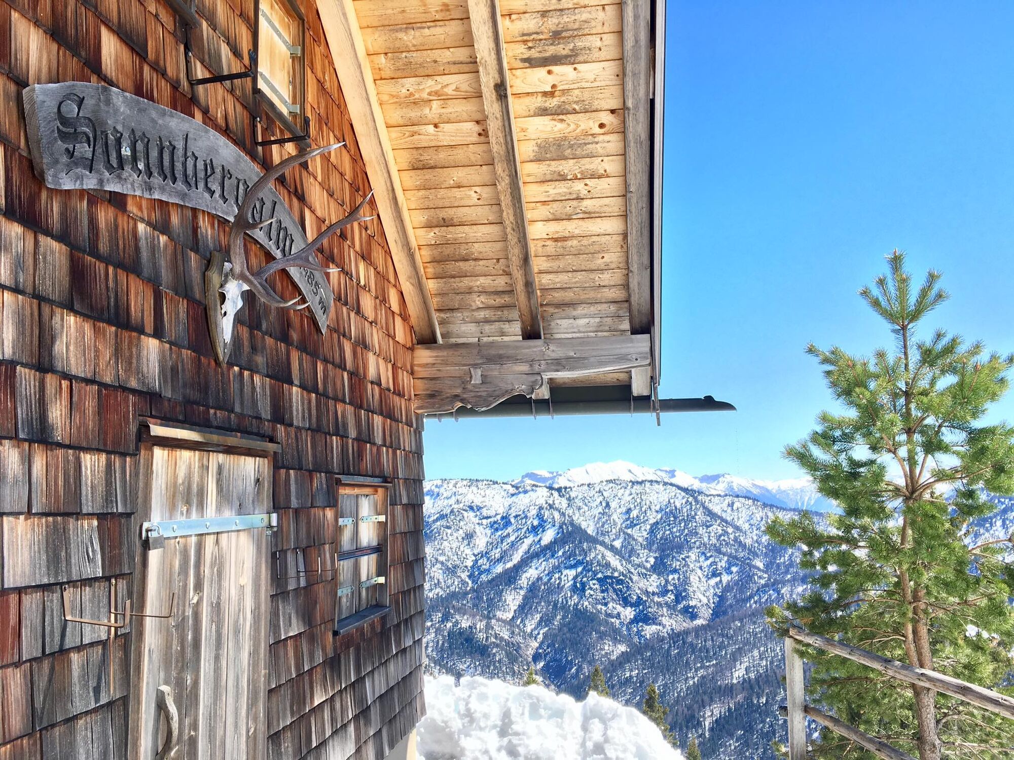
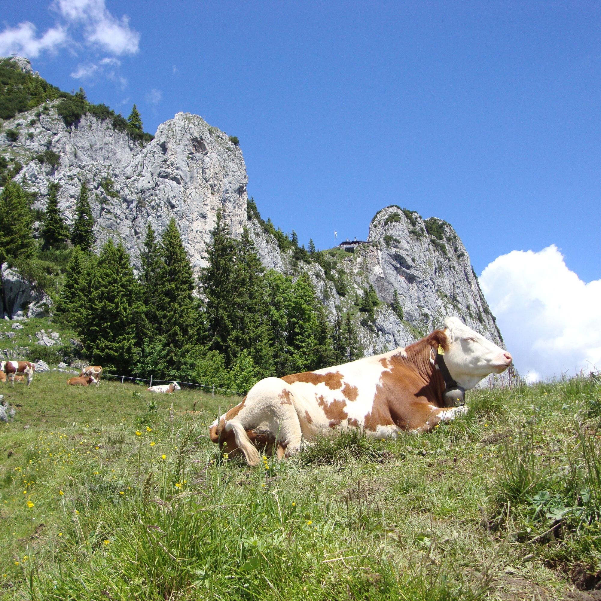
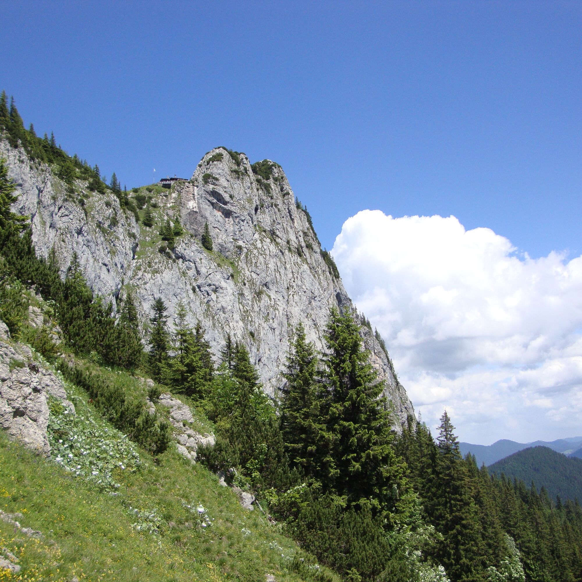
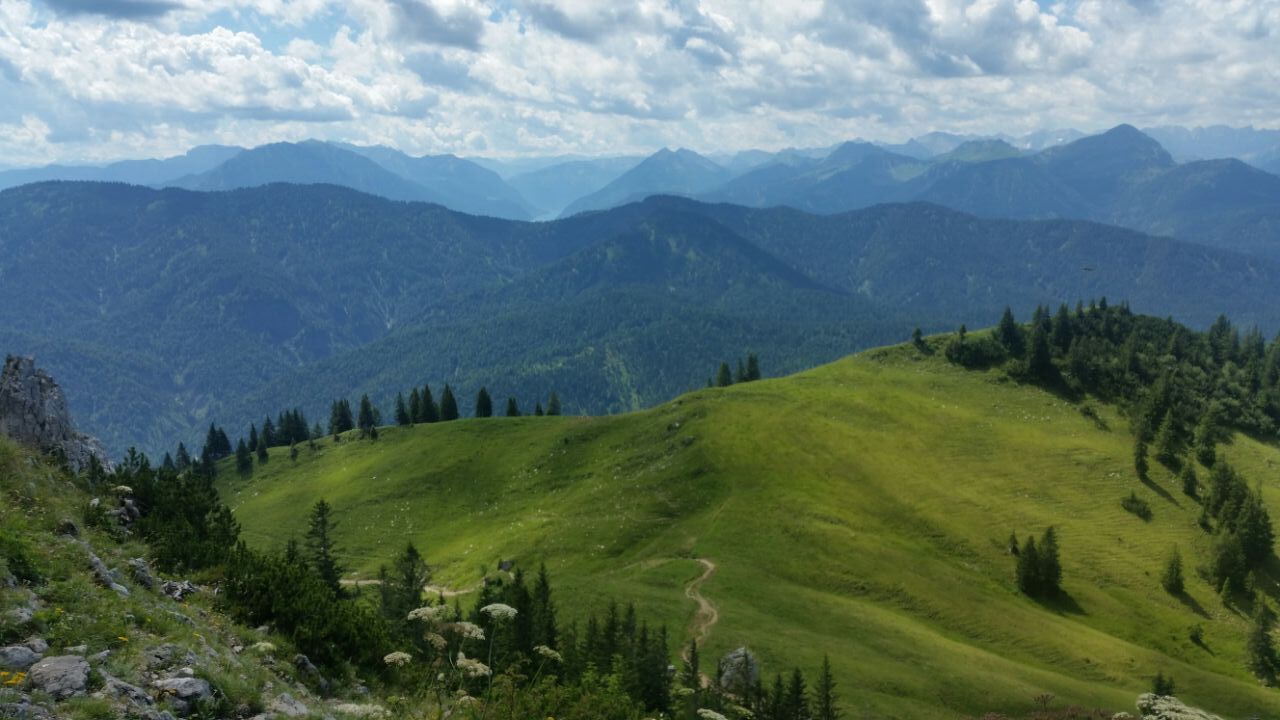
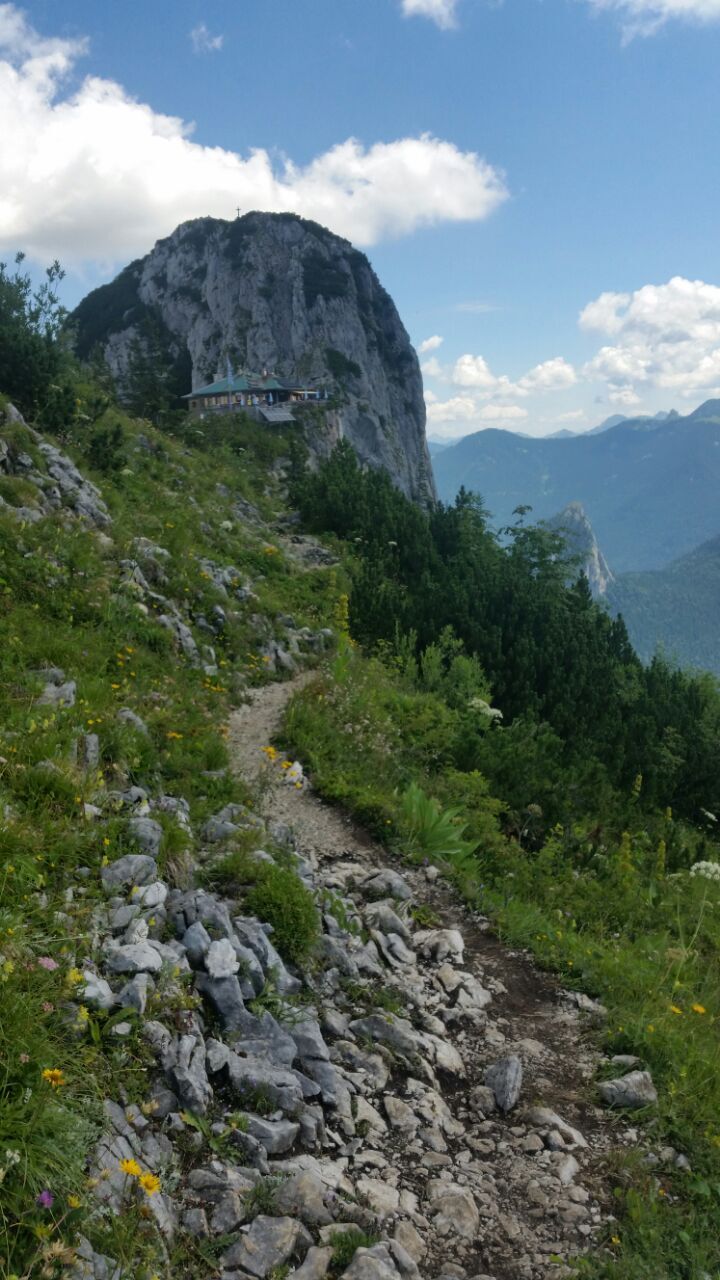
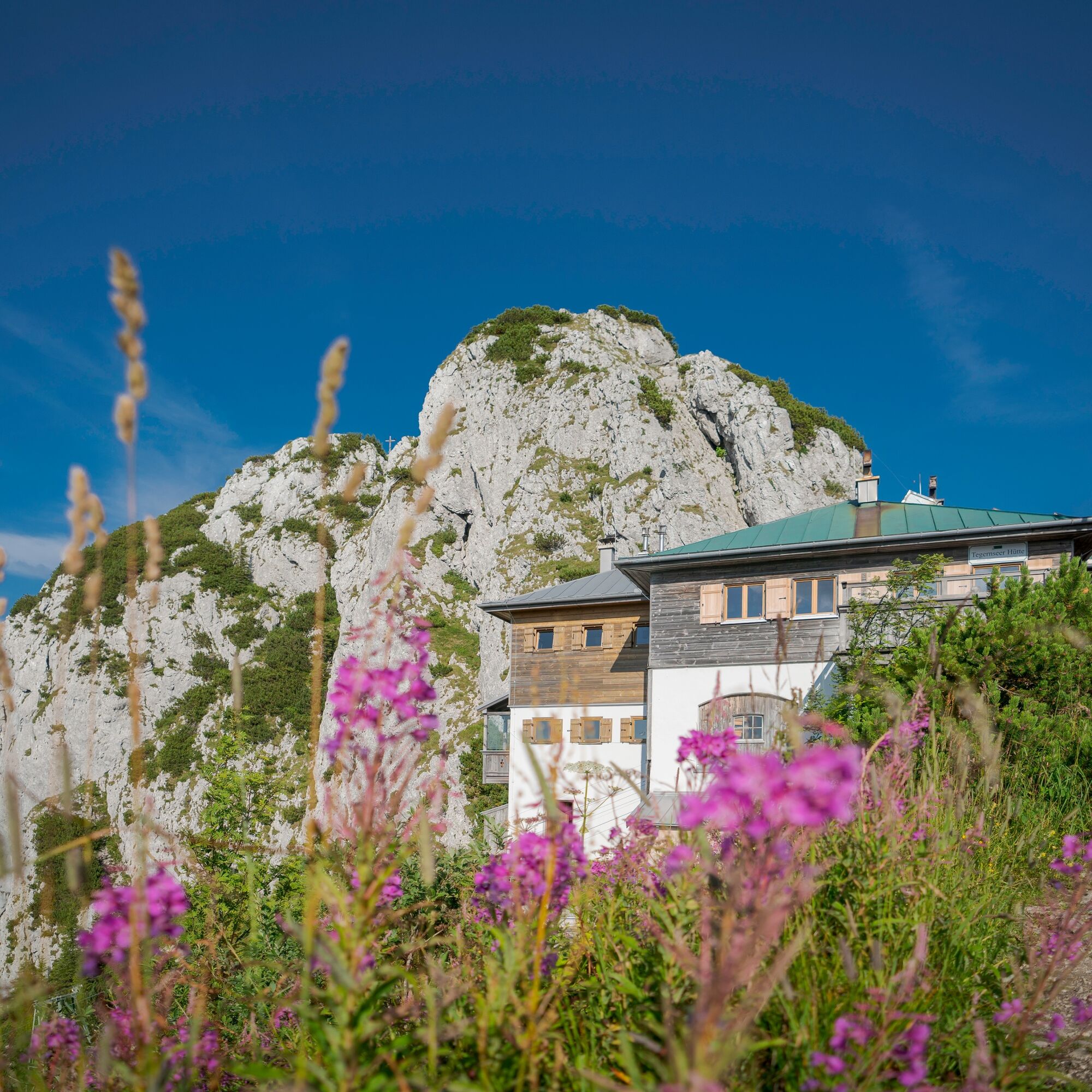
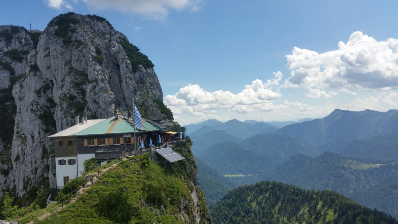
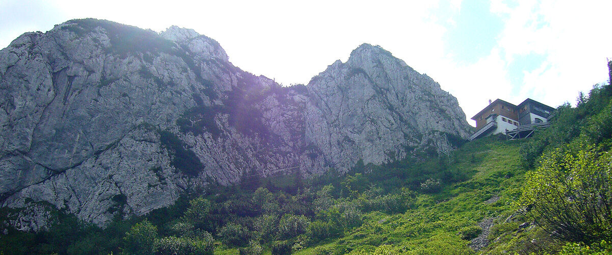
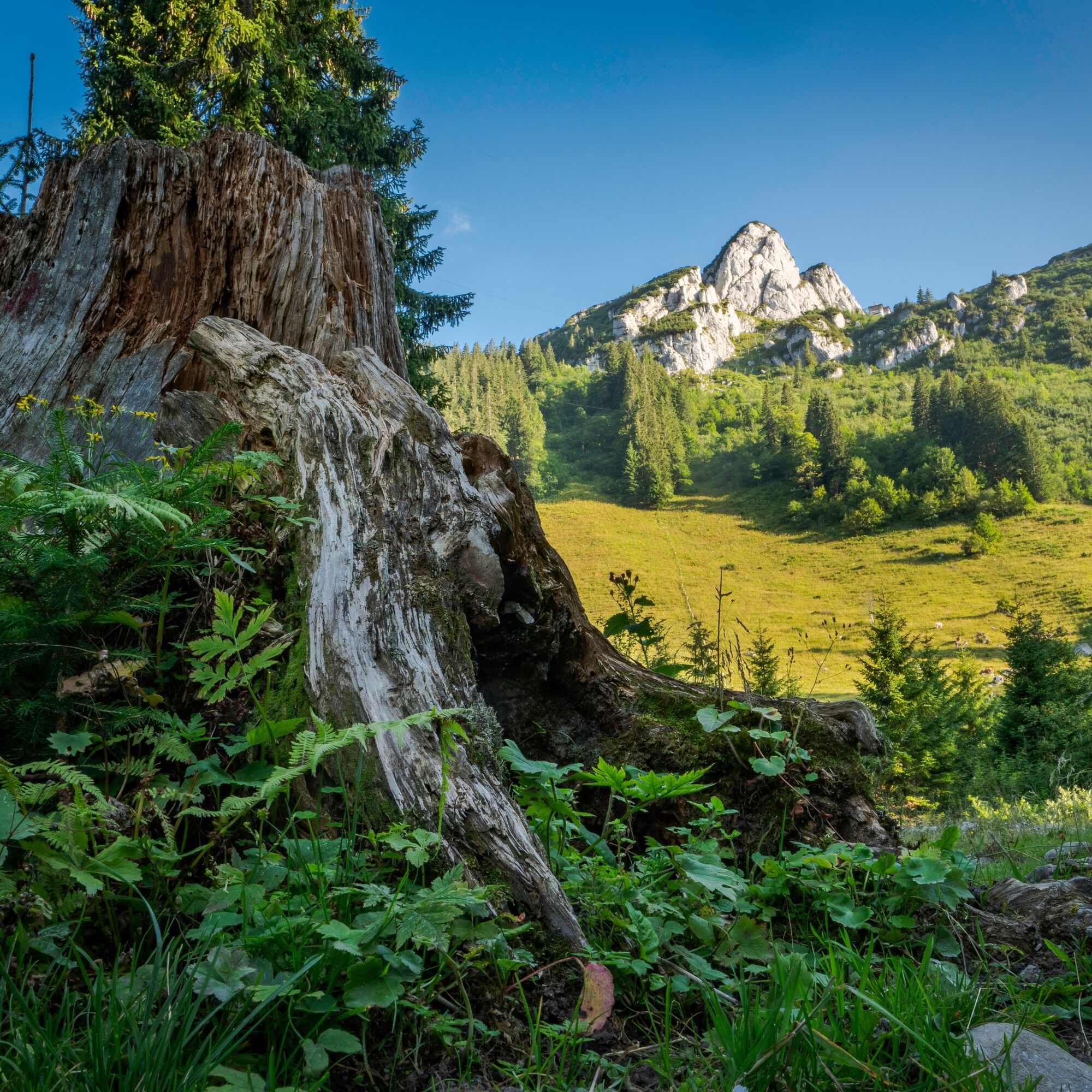
A rewarding stop in an exposed location as well as fantastic 360° panoramas make this summit dream route a very special mountain experience. The view towards Achensee, Karwendel and the Northern Alpine main ridge as well as over Tegernsee to Munich is one of the most spectacular views in the entire Bavarian Alps. The well-known Tegernsee Hut with its exposed location resembles an eagle's nest between Ross- and Buchstein. Typical specialties and treats quickly make you forget the hardships of the ascent. In the immediate vicinity, the 50-metre-high rock tower of the Rosssteinnadel rises, a popular destination for climbers (about two dozen routes from difficulty grades 4 to 9). From the viewing terrace, the view glides over the low Sonnberg towards the zigzag line of the Karwendel, to which the Wetterstein ridges extend in the southwest up to the Zugspitze, Germany's highest mountain at 2962 meters. Those who want to climb the Buchstein summit directly behind the hut need climbing skills up to grade II. Rossstein and Tegernsee Hut are, however, also easily accessible for mountain hikers.

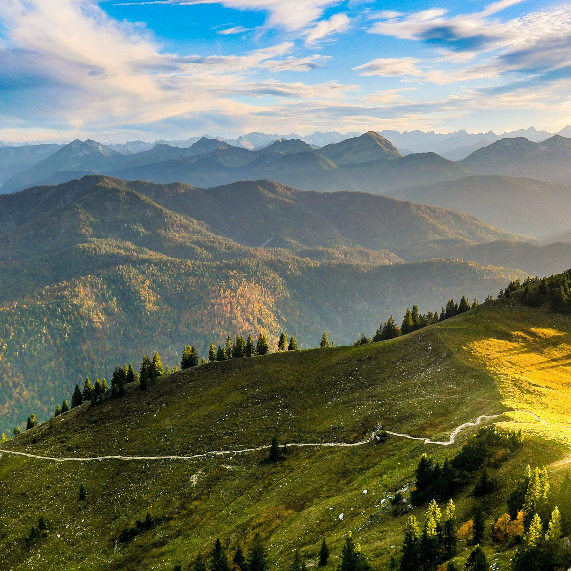
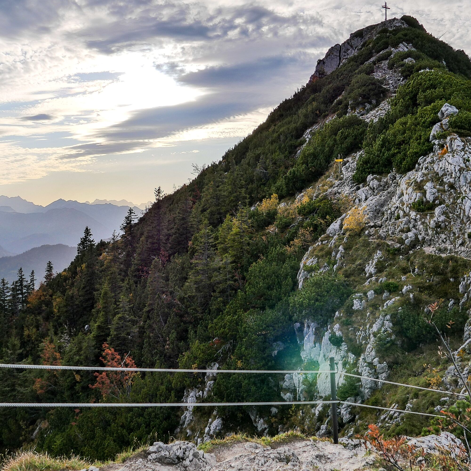
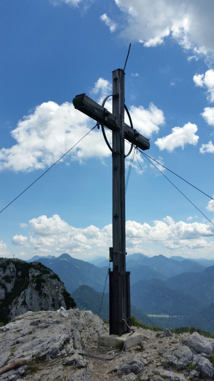
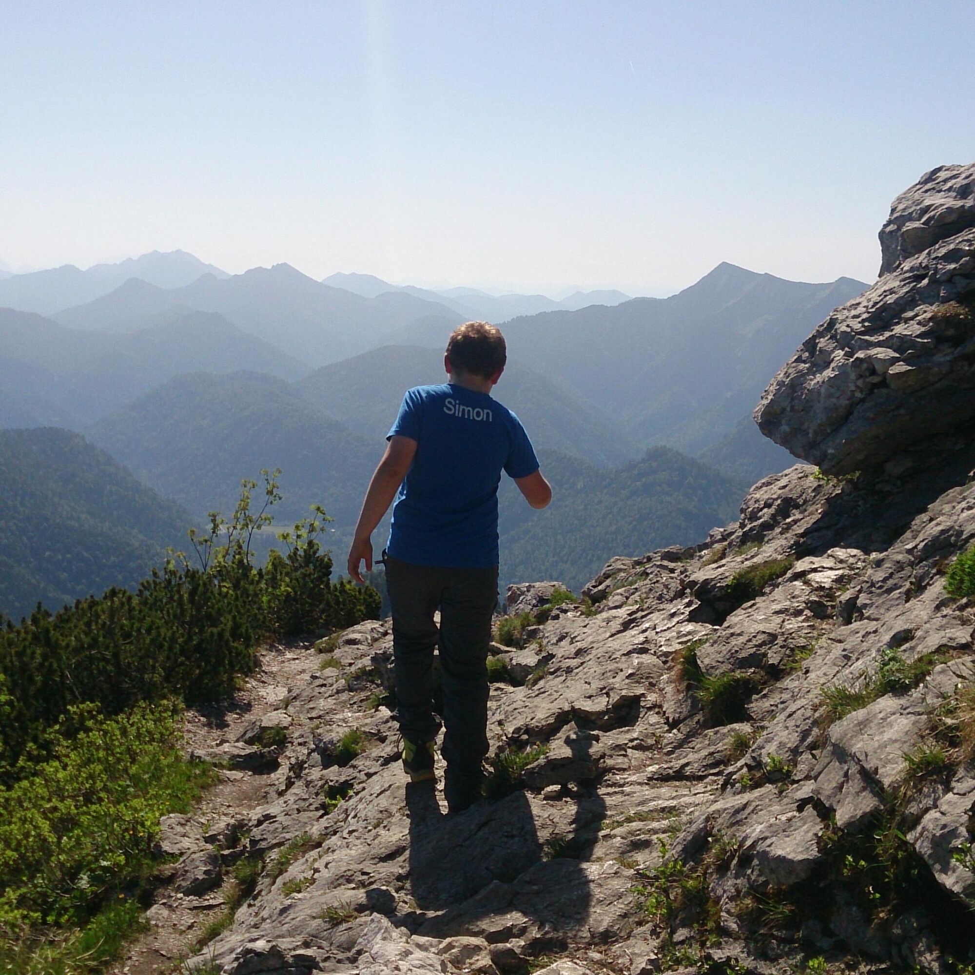
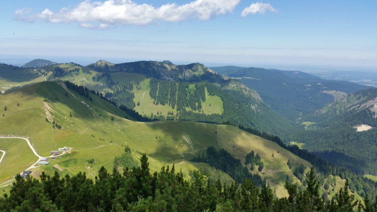
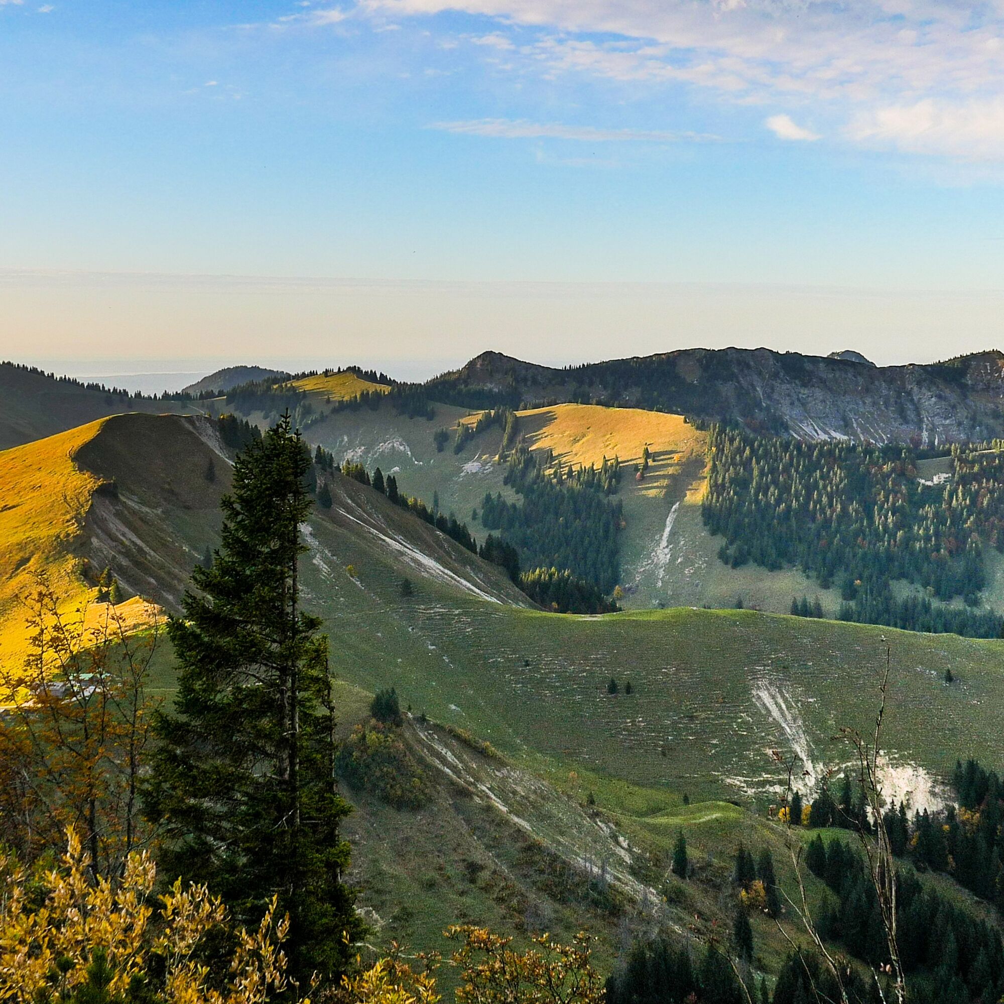
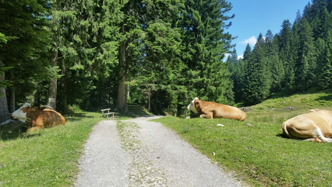

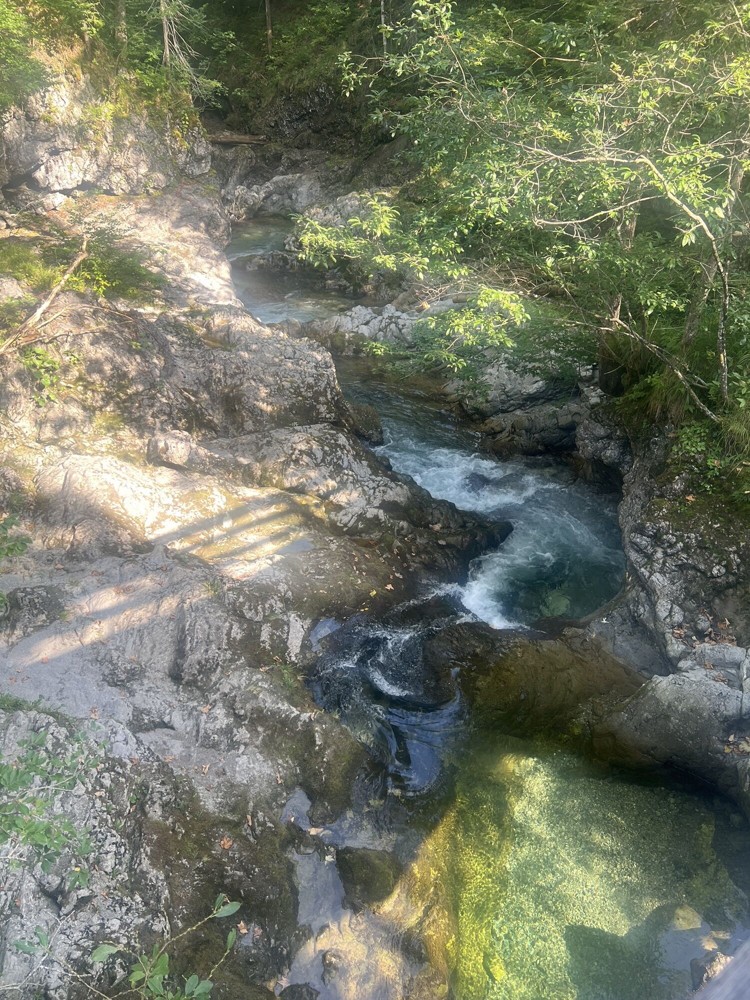
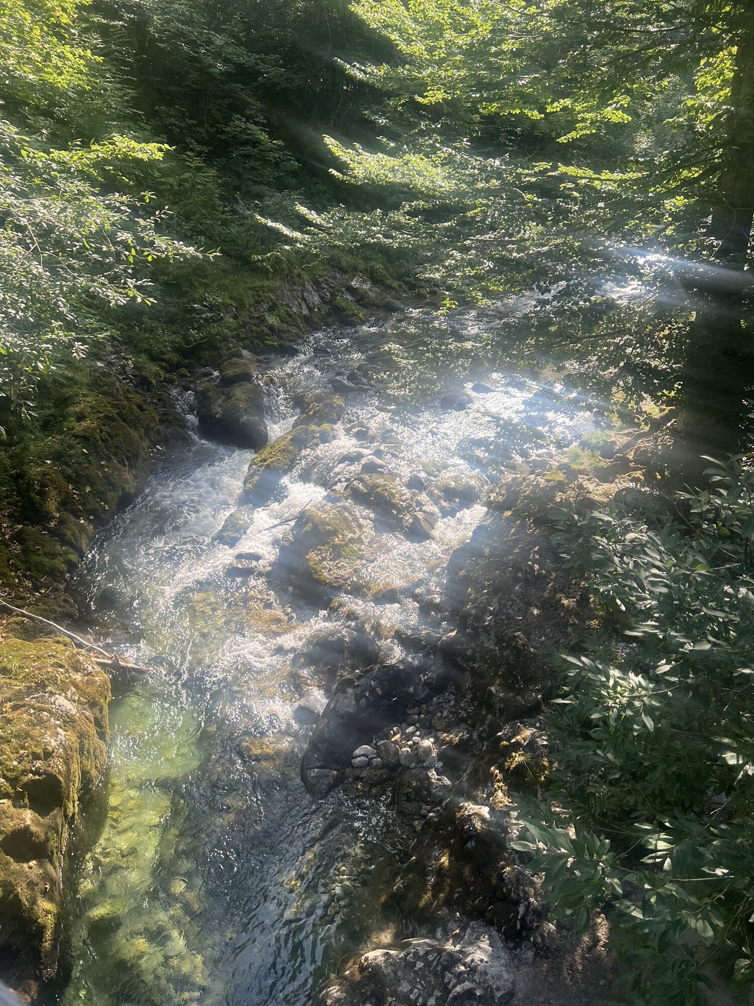
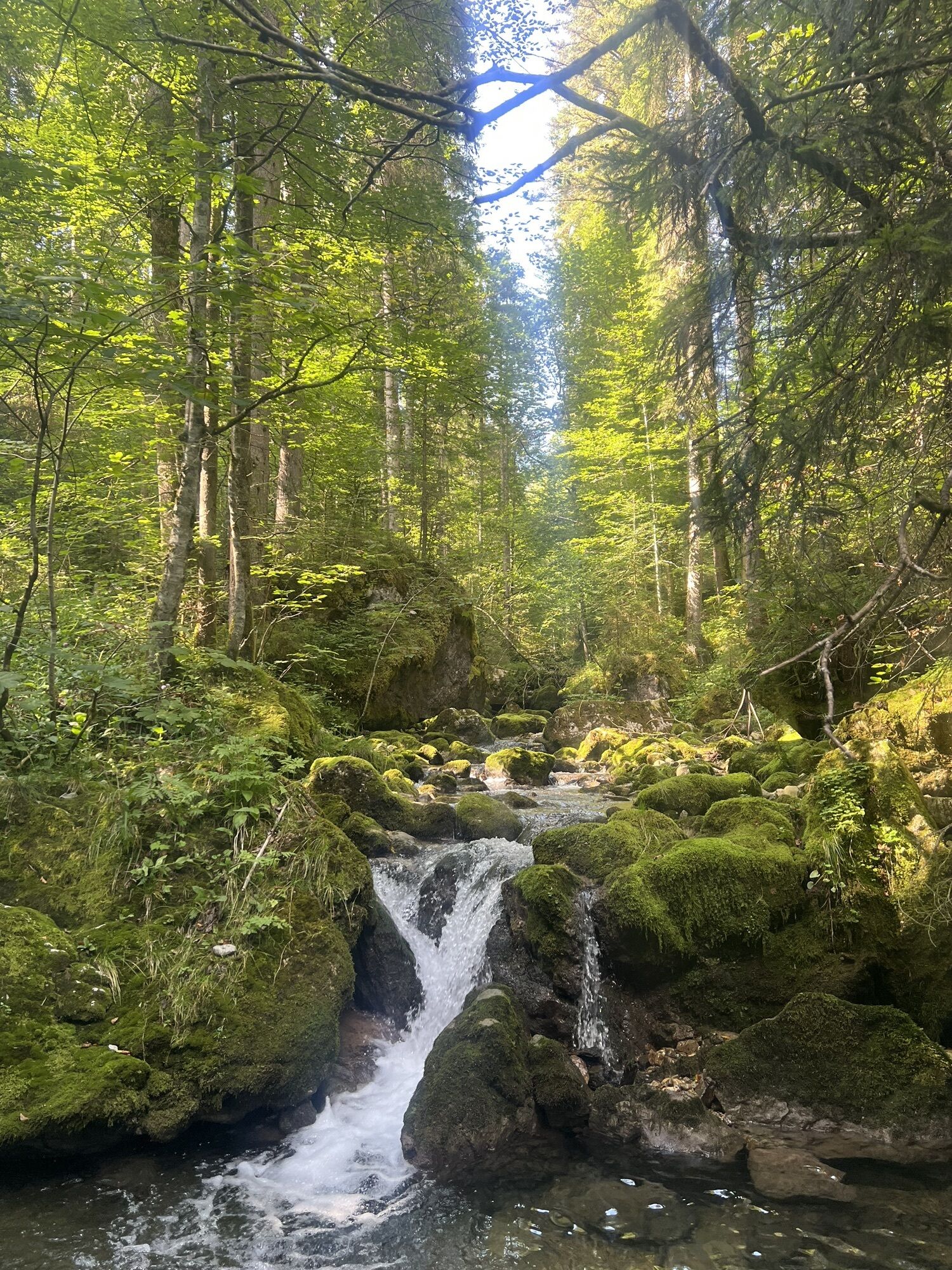
We start our mountain route in Kreuth Klamm at the hiking car park. Along the Weißach we walk the first kilometers leisurely upstream on path 501.
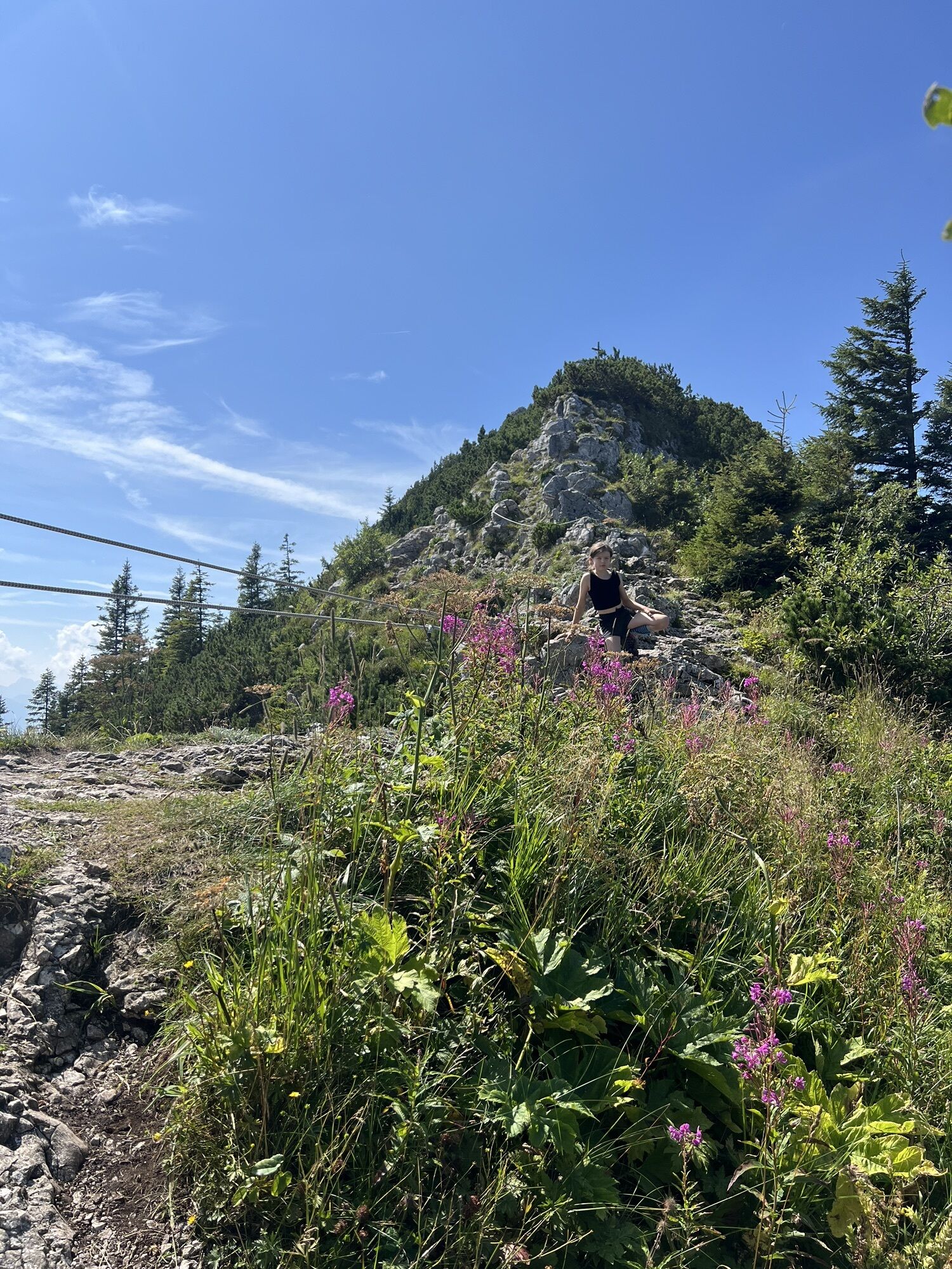
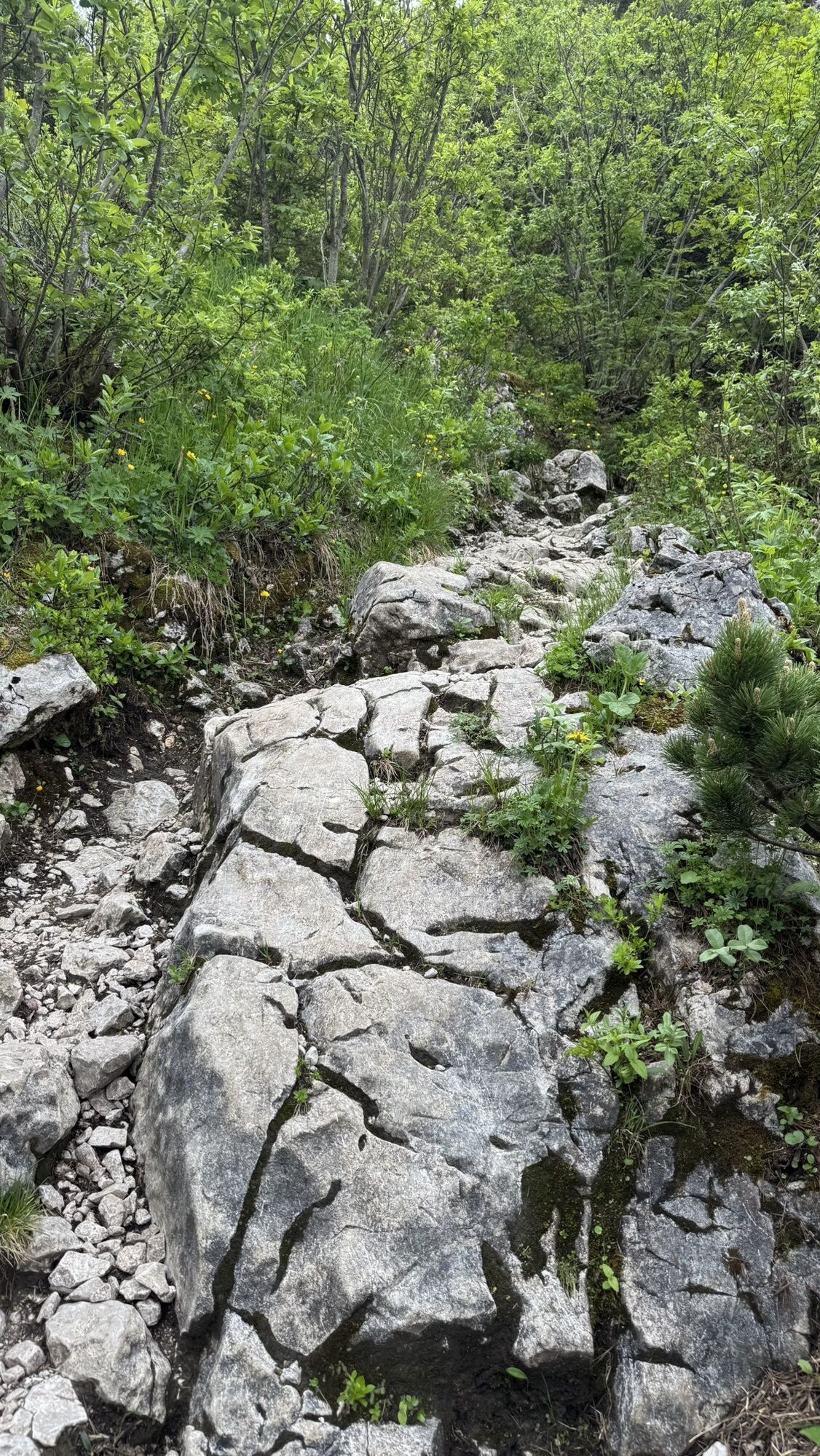
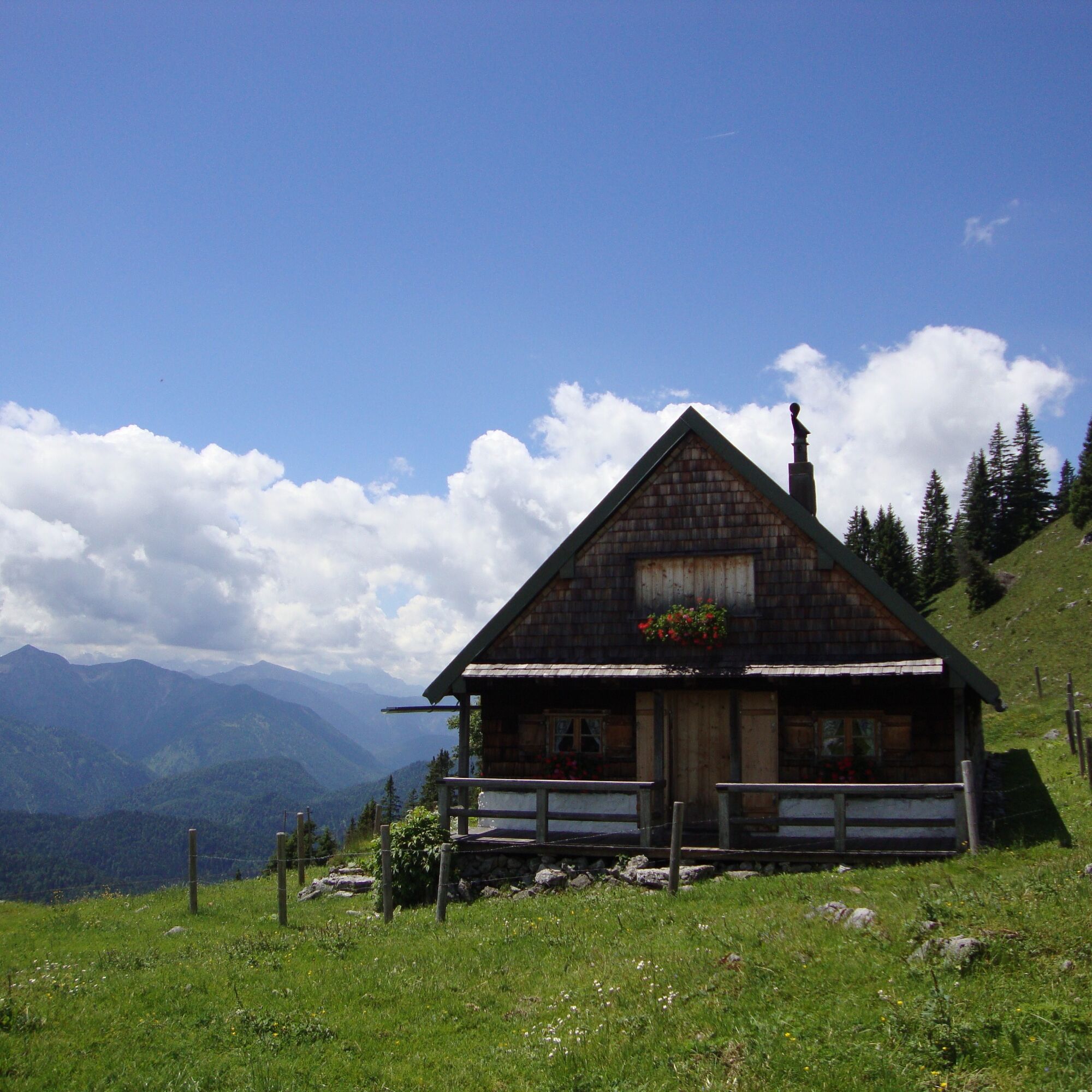
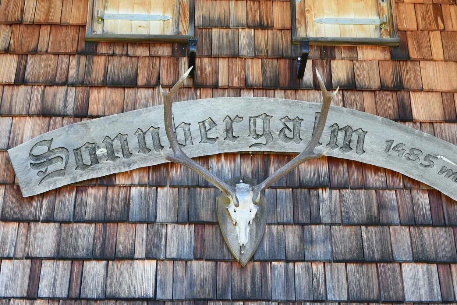
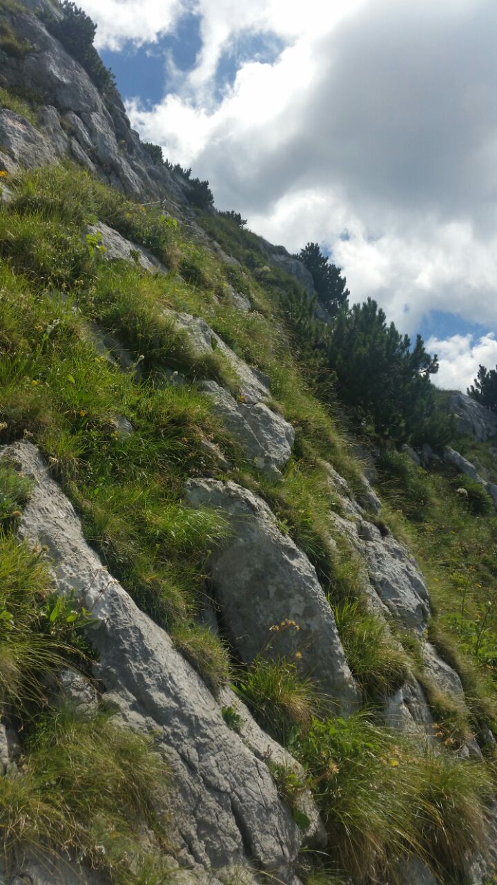
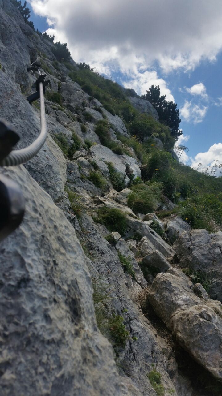
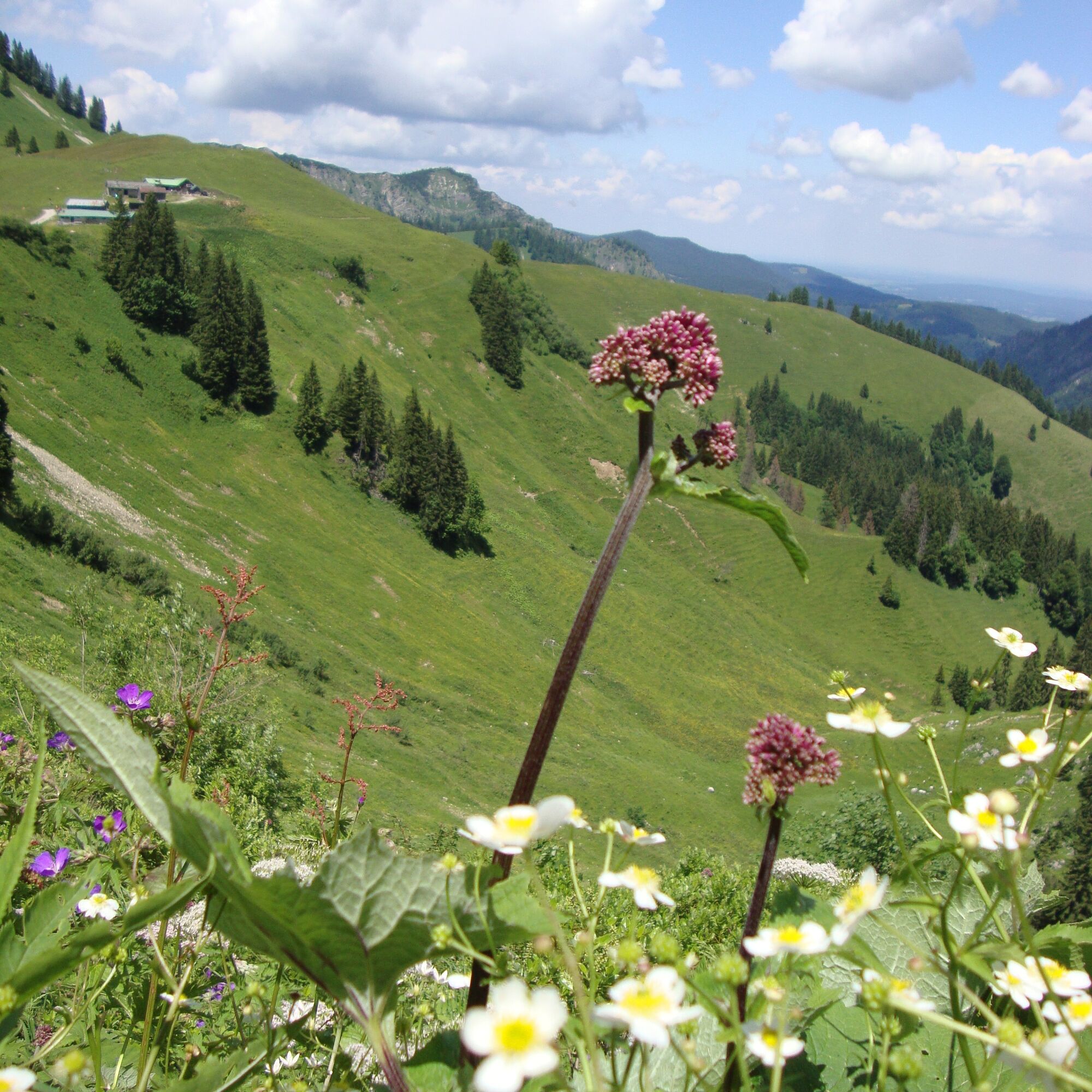
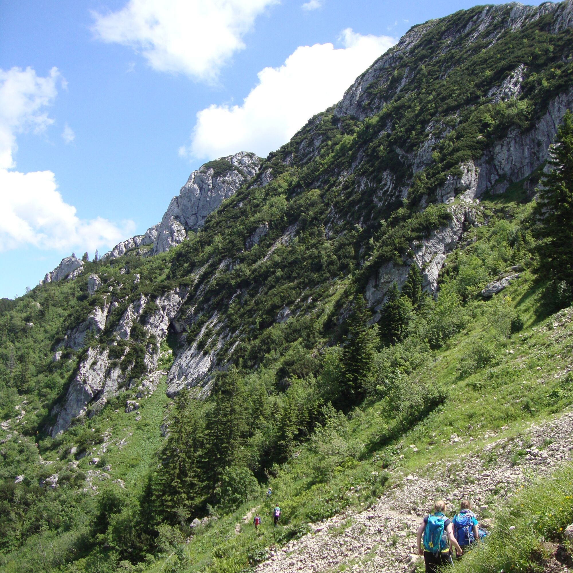
At the bridge in Bayerwald we keep to the right. From there, the path goes uphill on path 609. We pass the Sonnberg alpine pastures, where we have the choice between the direct path up to Roßstein and further to the Tegernsee Hut (partly with cable protections) or the easier path, which first leads west around the Roßstein (path 633).
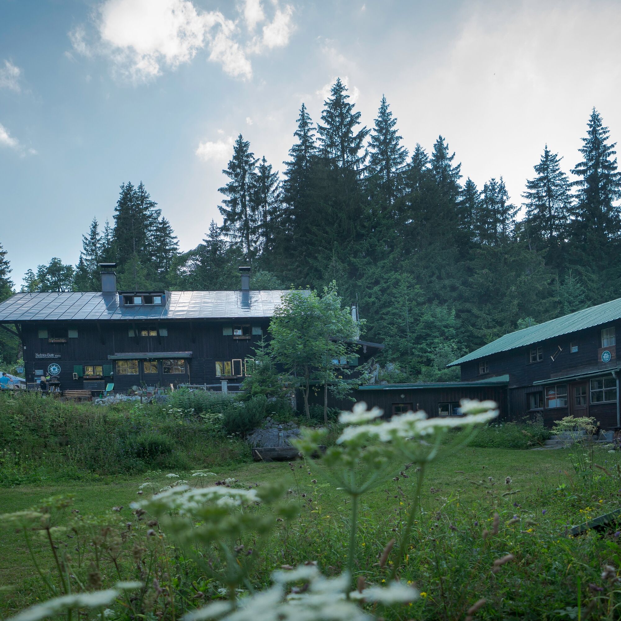
The Tegernsee Hut lies like an eagle's nest between Roß- and Buchstein, which are among the best-known elevations in the Bavarian Prealps. For the descent, we take the trail (609) down to the Buchstein Hut heading north and continue hiking downhill, now increasingly through the forest, down into the Schwarzenbach valley. Once there, we keep right downstream and reach the starting point via the Boden-Erlebnispfad Schwarzenbachtal at Klamm Winterstube (604).
This route is designed as a circular route. The direct path to the Tegernsee Hut is from the Roß- and Buchstein car park on path 609 there and back.
Ano
Ano
Ano
Sturdy footwear as well as weather-appropriate clothing, possibly rain jacket, drinking bottle, first aid kit.
This route is walkable in winter when there is snow. Please make sure to inform yourself about the snow and avalanche situation.
All information without guarantee. Walking and riding on the routes described here is at your own risk.
A8 to the Holzkirchen exit, via B318 to Kreuth, continue to the hiking car park Klamm Winterstube.
With the MVV to Kreuth, bus stop Kreuth Klamm.
When arriving by bus, it is possible to get off directly at the "Tegernsee Hut" bus stop and at the end of the route to travel back to Tegernsee station from the "Klamm Winterstube" bus stop. (This saves the first kilometers along the Weißach)
Kreuth Bayerwald (hiking car park Tegernsee Hut, shortly after Bayerwald)
Anyone overnighting in the Tegernsee Hut should definitely not miss the sunset and sunrise.


Aktivity na trase
-

Kreuth, Bavaria/Germany
30.08.2026 – Turistika -
Kreuth
30.08.2026 – Turistika -
Roßstein, Bavaria/Germany
23.08.2026 – Turistika -

Kreuth, Bayern/Deutschland
08.08.2026 – Turistika -

Kreuth, Bayern/Deutschland
01.08.2026 – Turistika -
Kreuth
07.06.2026 – Turistika -
Kreuth, Oberbayern/Deutschland
24.05.2026 – Turistika -

Kreuth, Upper Bavaria/Germany
23.05.2026 – Turistika -
Kreuth, Oberbayern/Deutschland
10.10.2025 – Turistika -

Buchsteinhütte mit Hans
20.09.2025 – Turistika -
Kreuth, Upper Bavaria/Germany
06.09.2025 – Turistika -
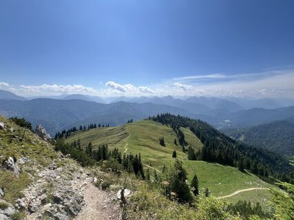
2025-08-19 Wanderung auf die Tegernseer Hütte und Roßstein
19.08.2025 – Turistika
Oblíbené prohlídky v okolí
-
4.8
Königsalm
středníTuristika 10.0 km -
4.7
Alpbach valley and Neureuth
středníTuristika 12.9 km -
4.6
Summit route to the Wallberg
středníTuristika 12.2 km -
4.4
Achenkirch - Zöhreralm - Adlerhorst - Achenkirch
světloTuristika 7.70 km -
4.8
Leonhardstein
středníTuristika 8.17 km -
4.3
Tegernsee Höhenweg - North
světloTuristika 12.3 km -
4.8
Lengrieser Hütte
středníTuristika 10.6 km -
4.8
Brauneck zum Latschenkopf Rundweg
středníTuristika 6.30 km -
4.7
Hirschberg
středníHorská turistika 12 km -
4.6
Brecherspitze
středníHorská turistika 14.5 km

Pěší turistika a stopování


Nenechte si ujít nabídky a inspiraci pro vaši příští dovolenou
Vaše e-mailová adresa byl přidán do poštovního seznamu.





