







Tegernsee Höhenweg - North
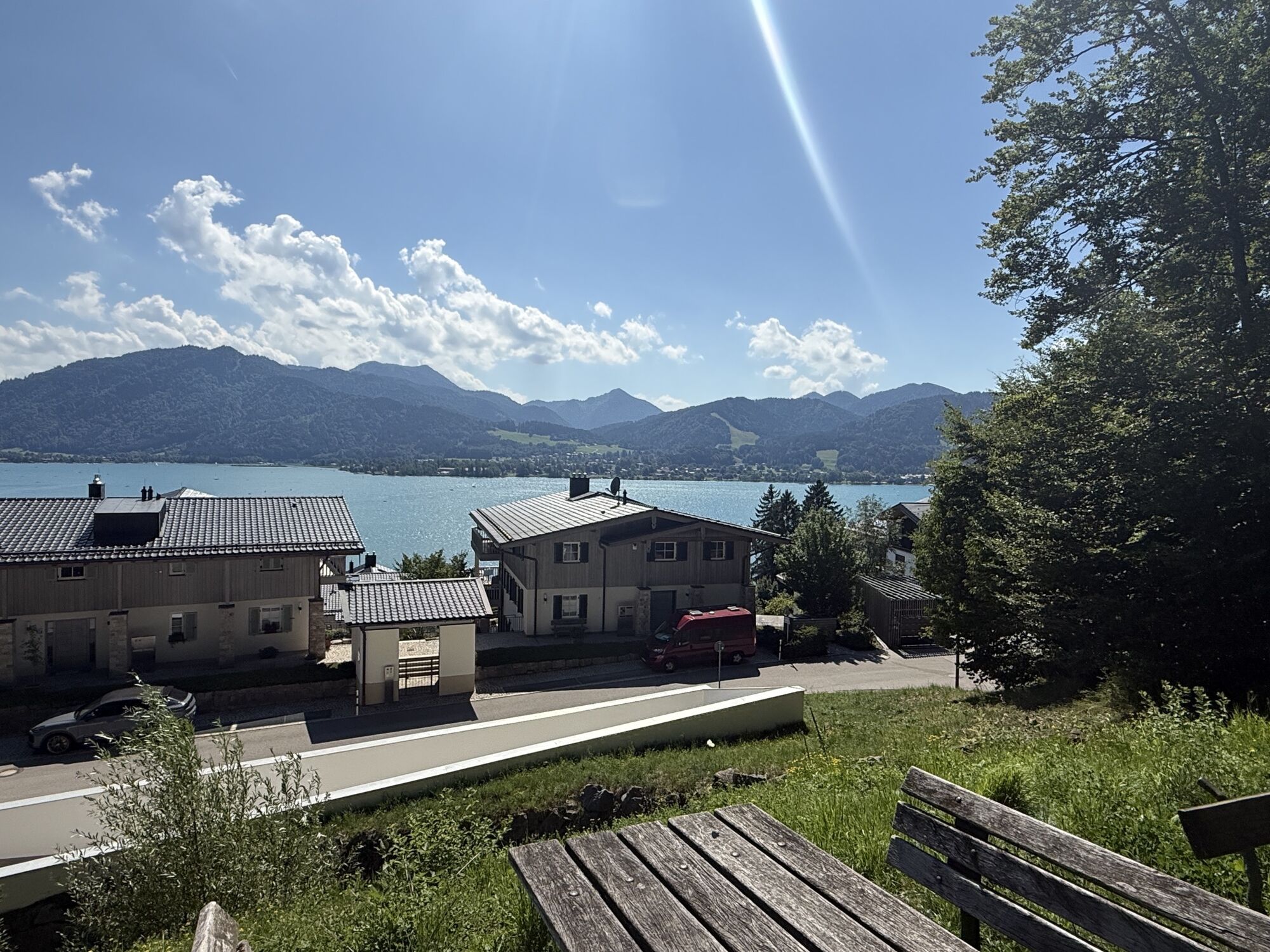
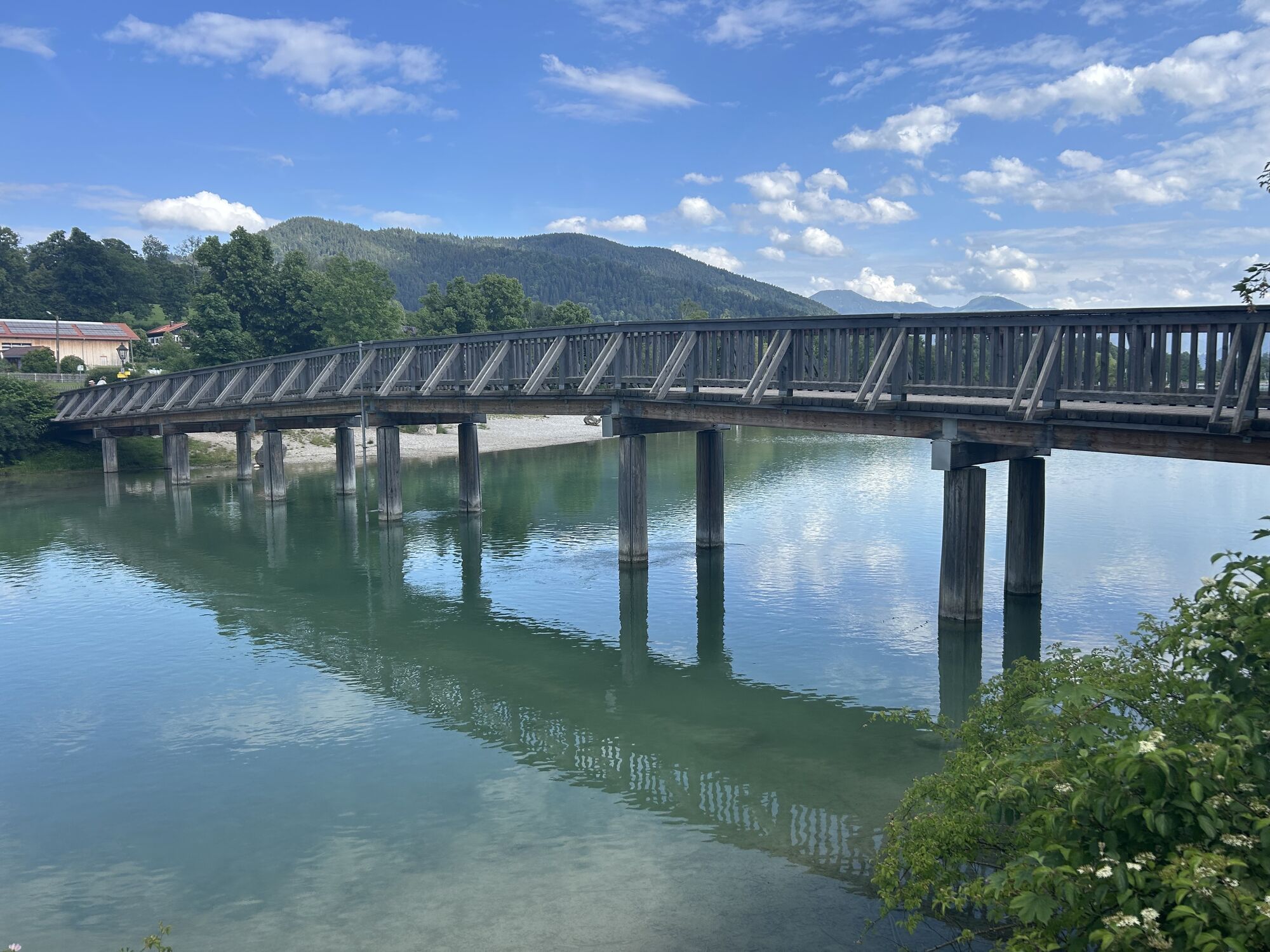
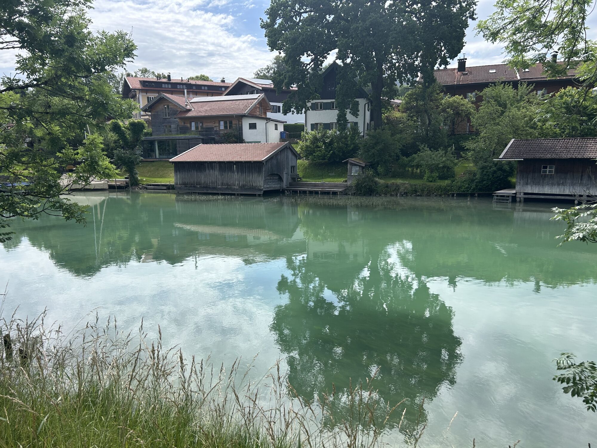
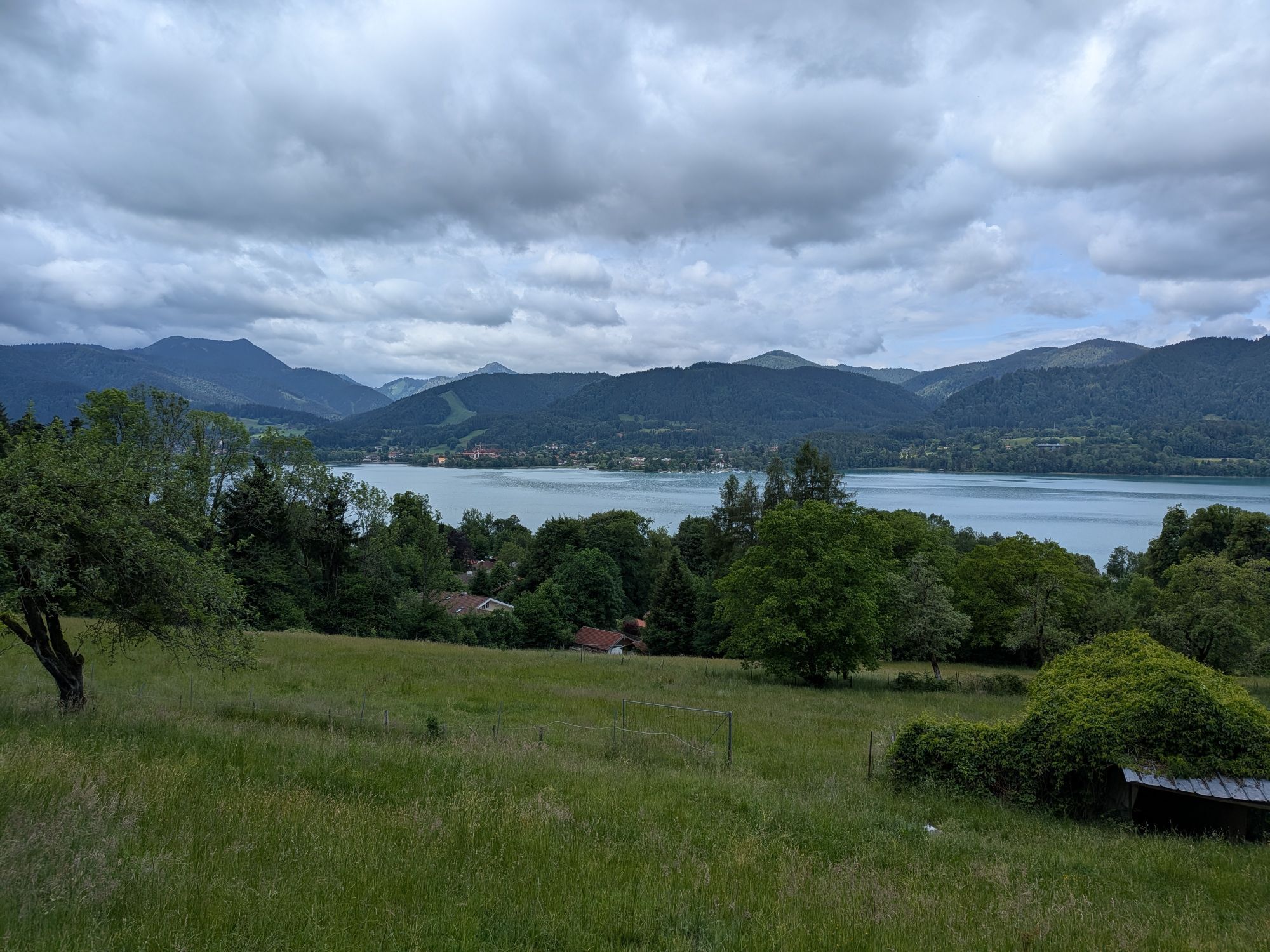
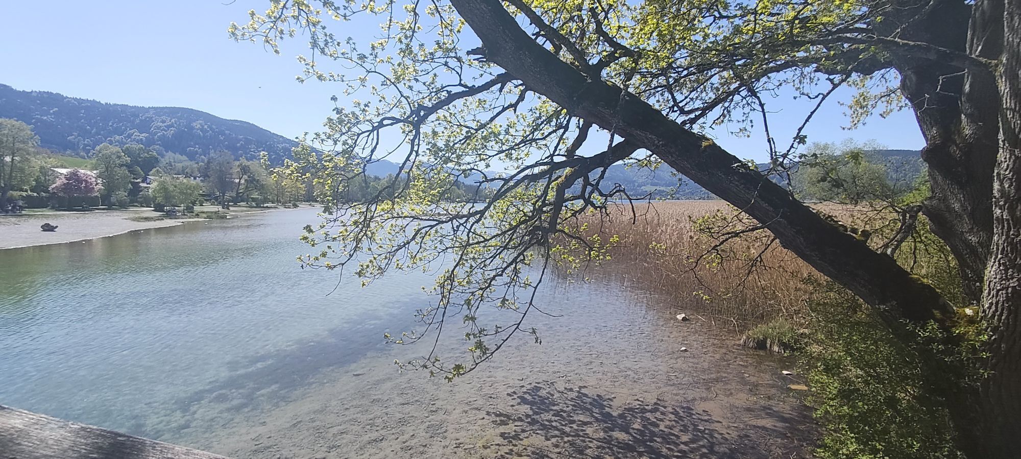
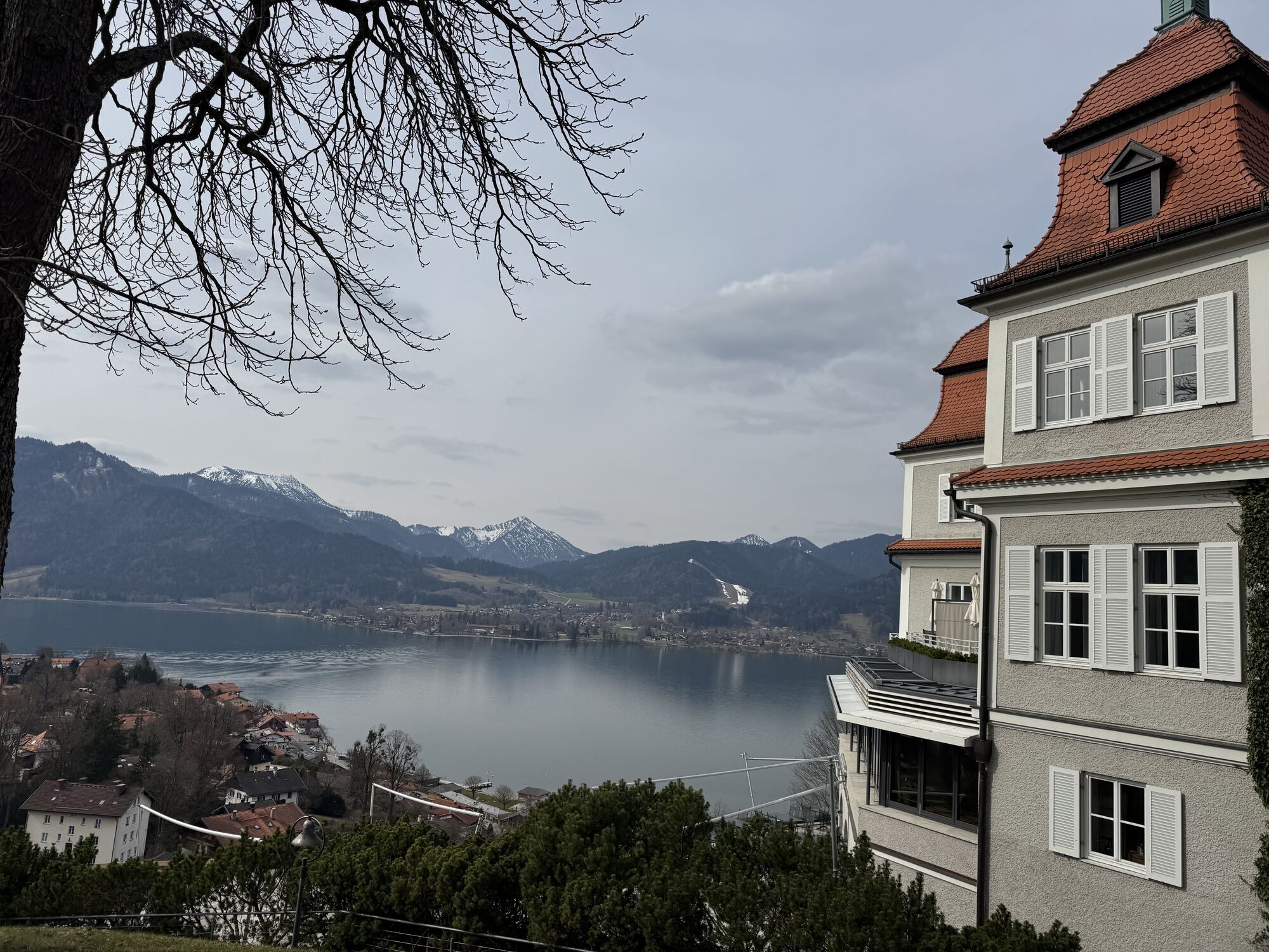
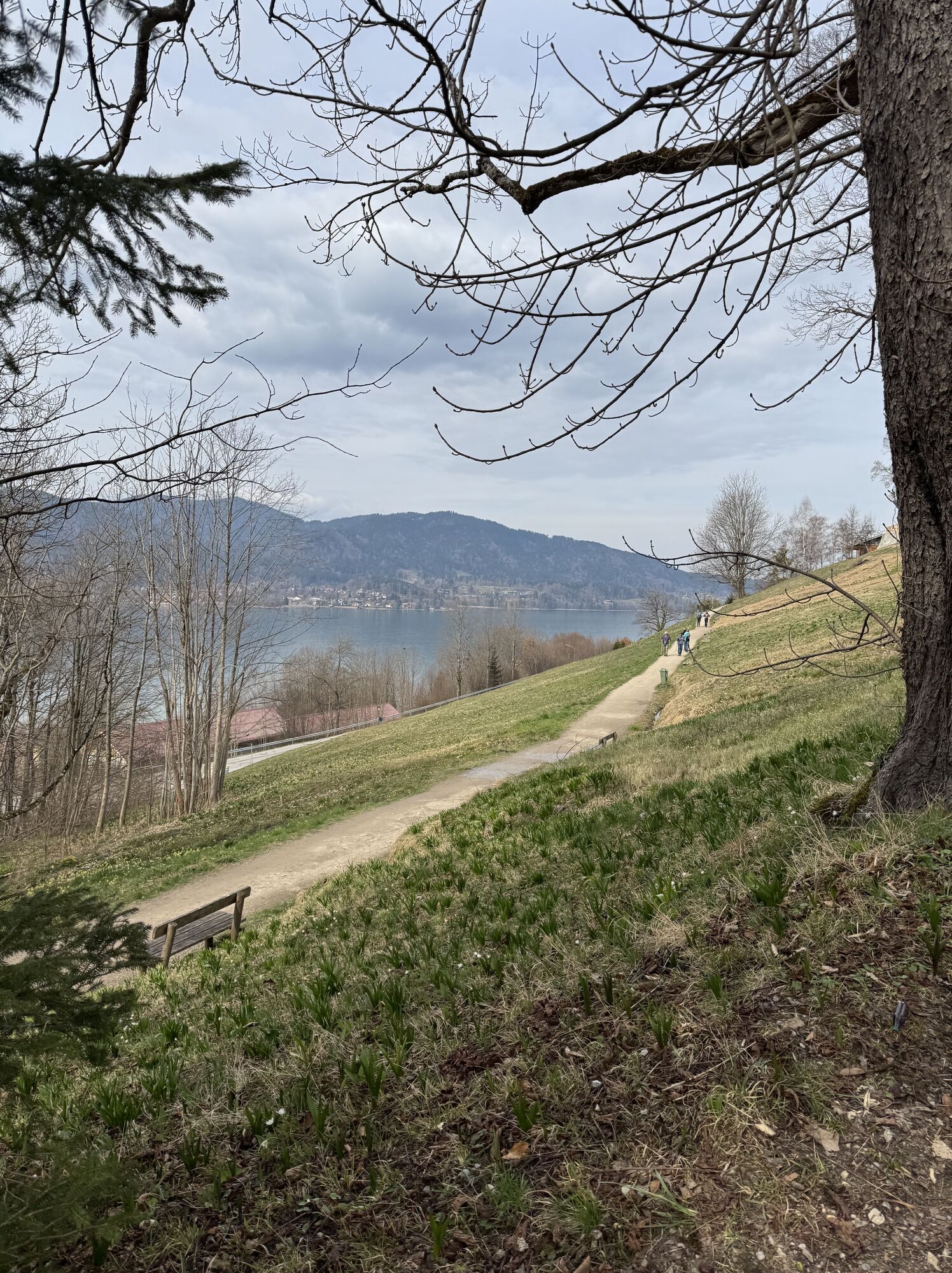
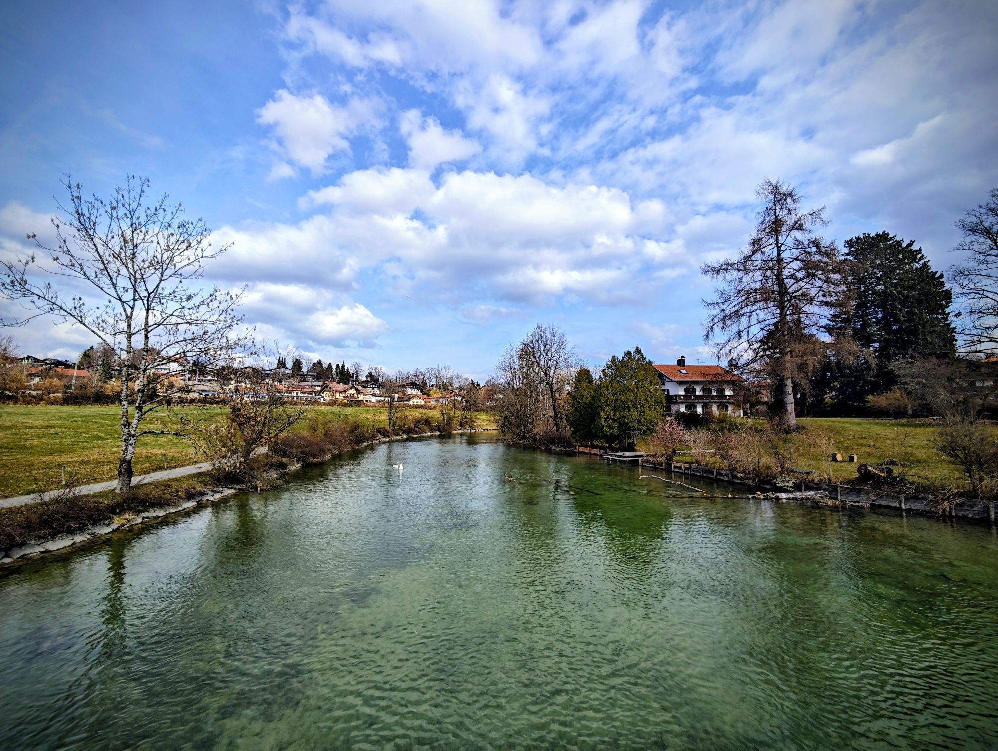
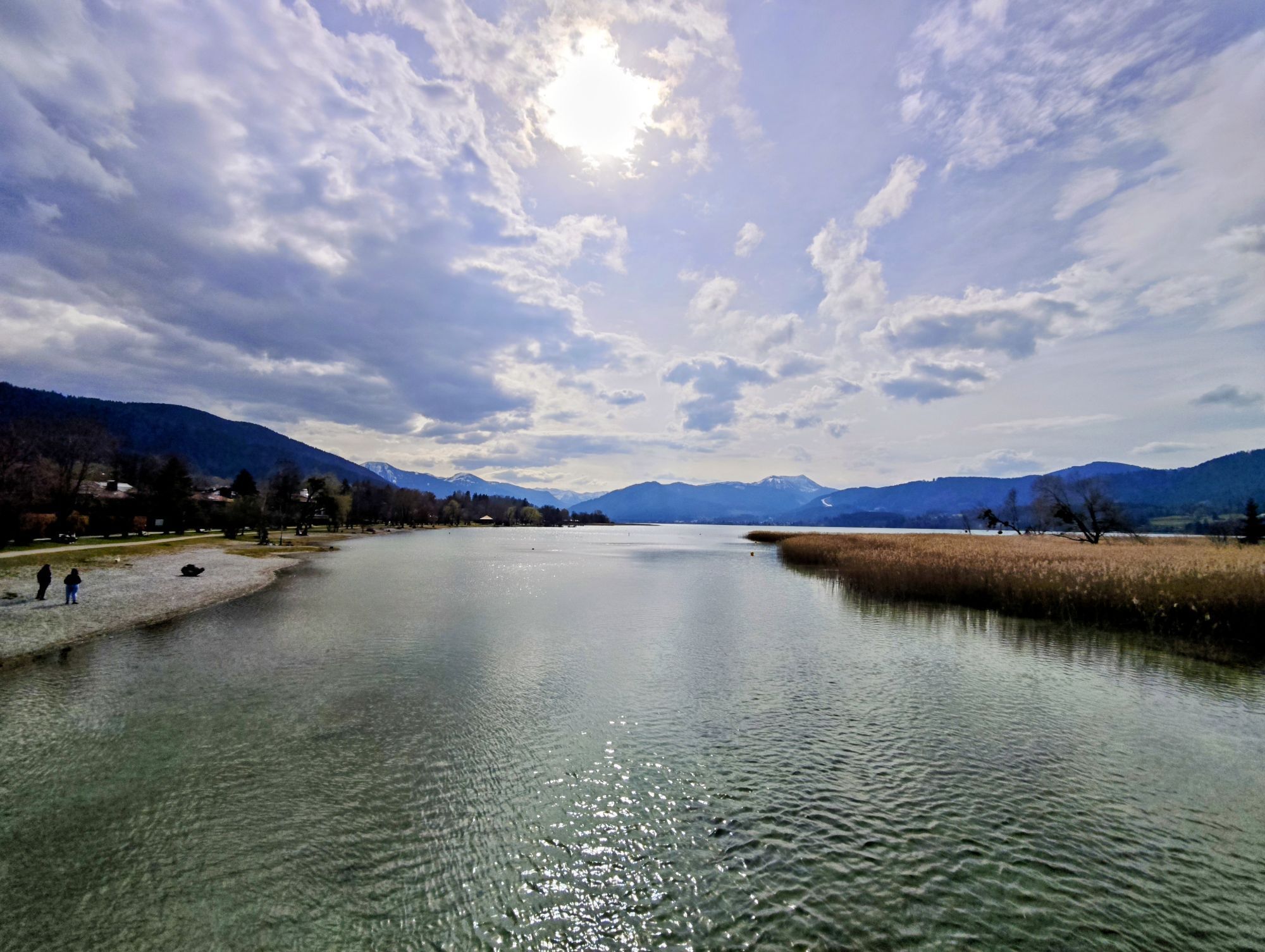
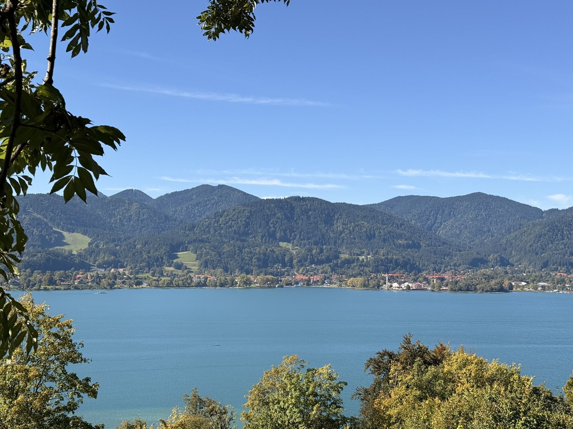
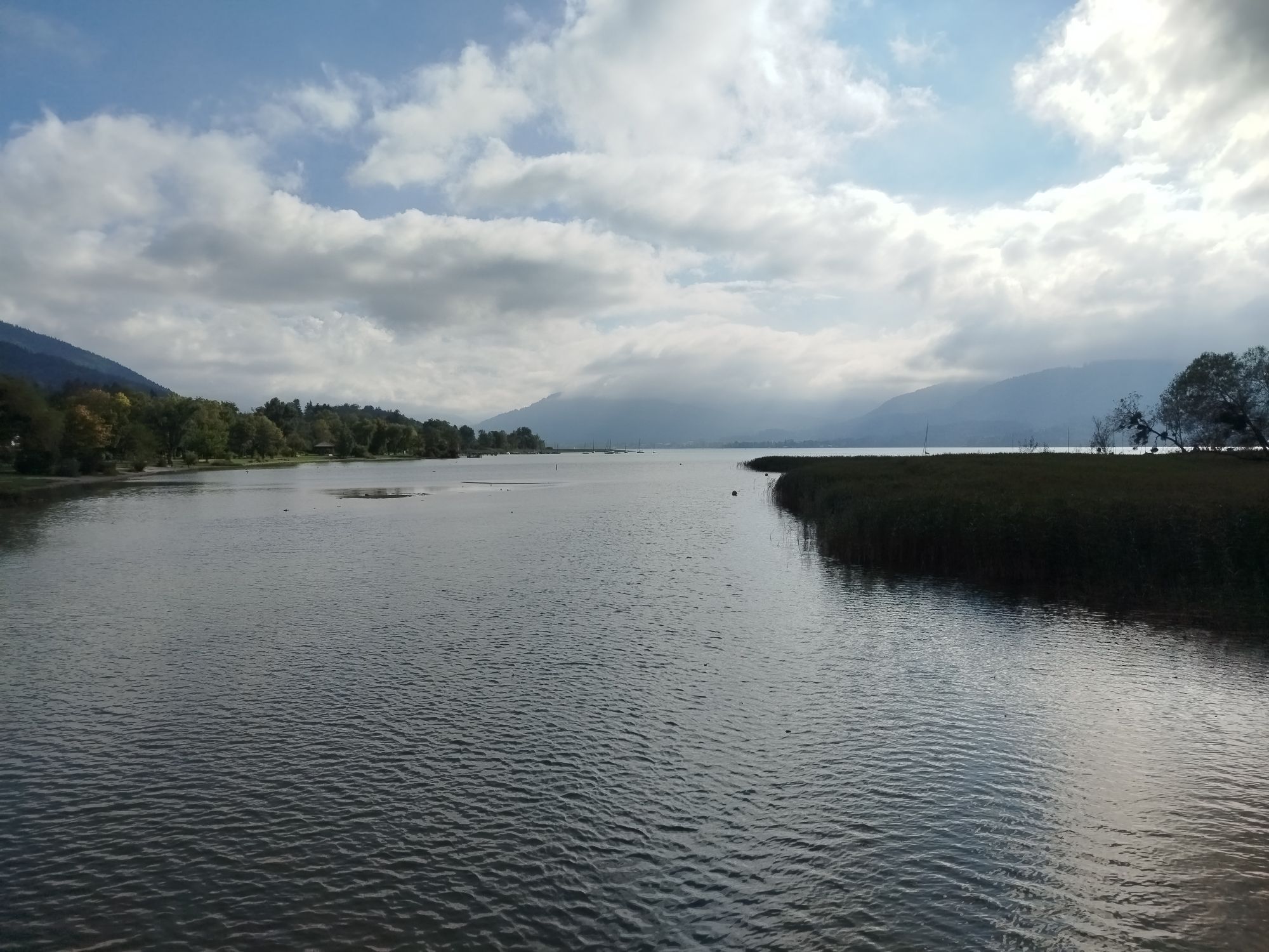
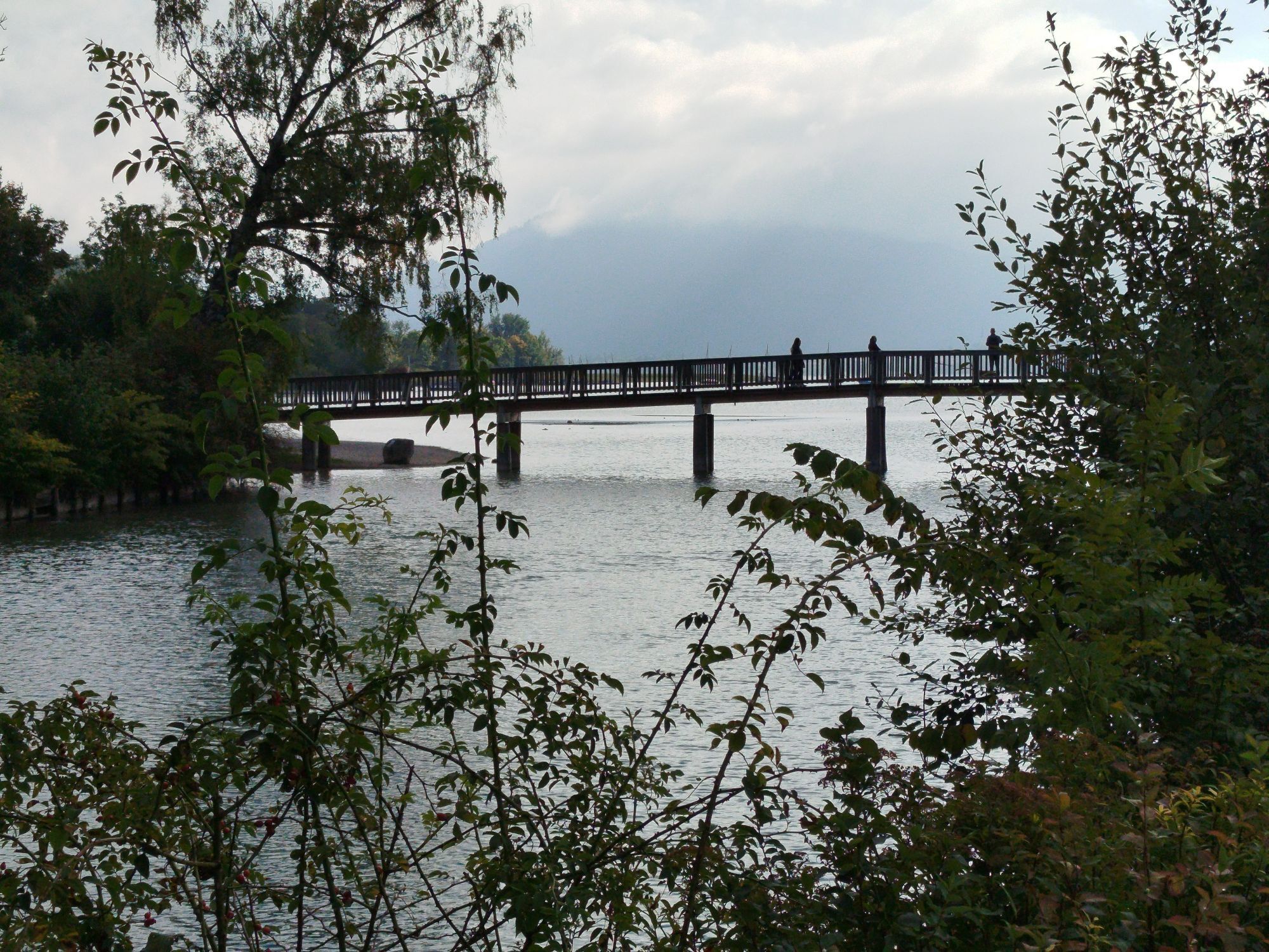
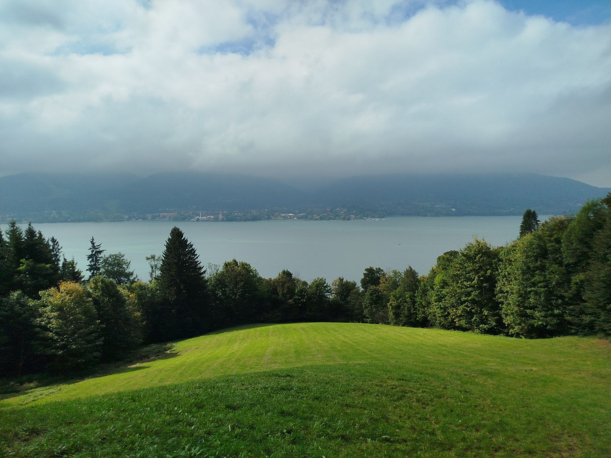
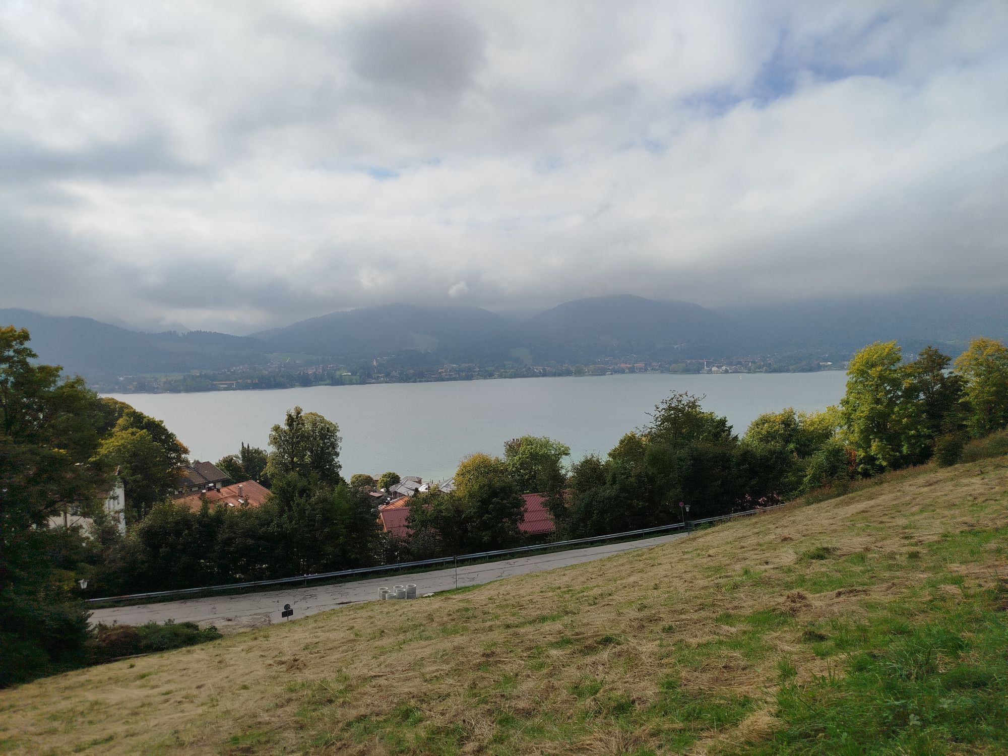
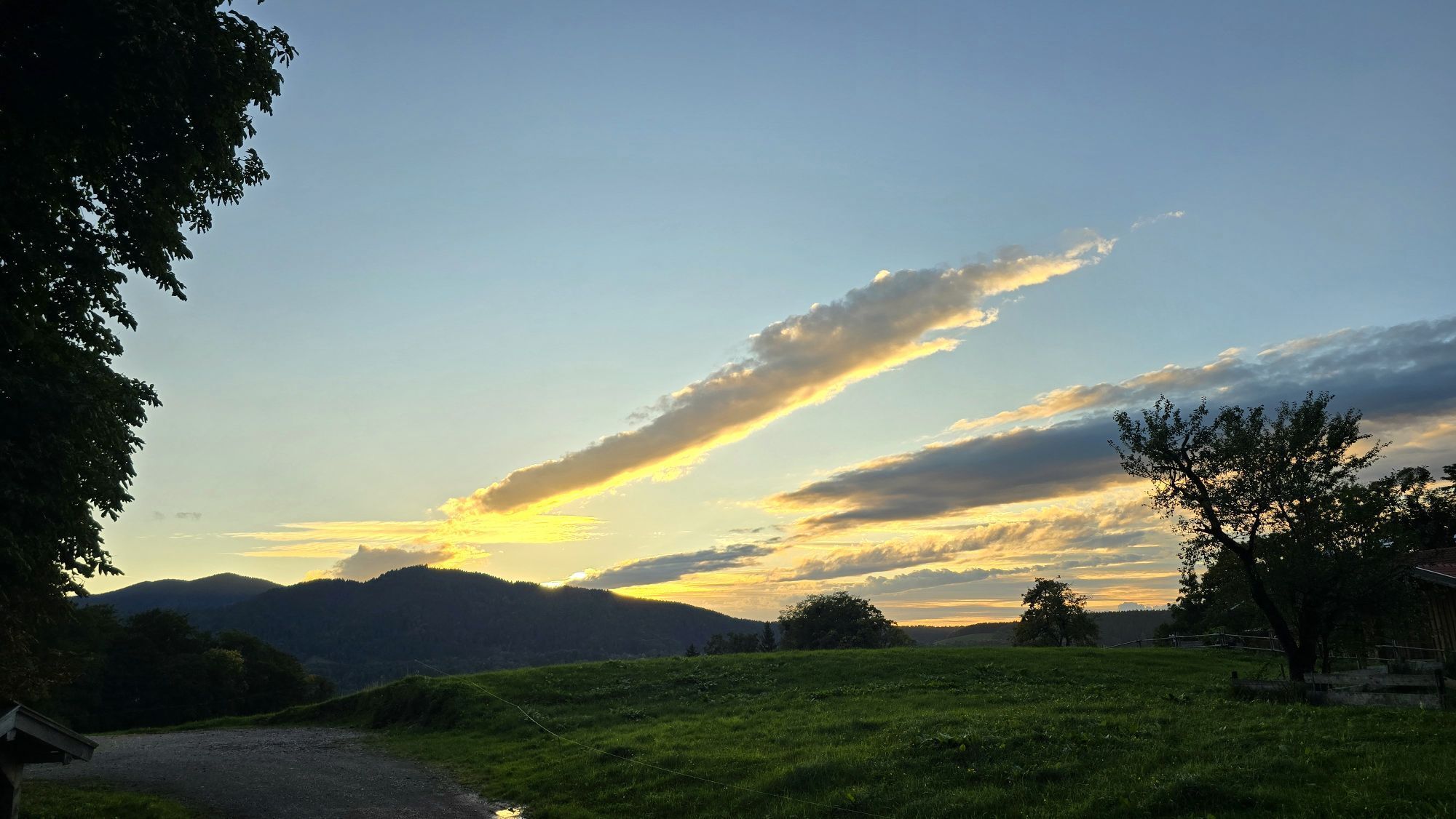
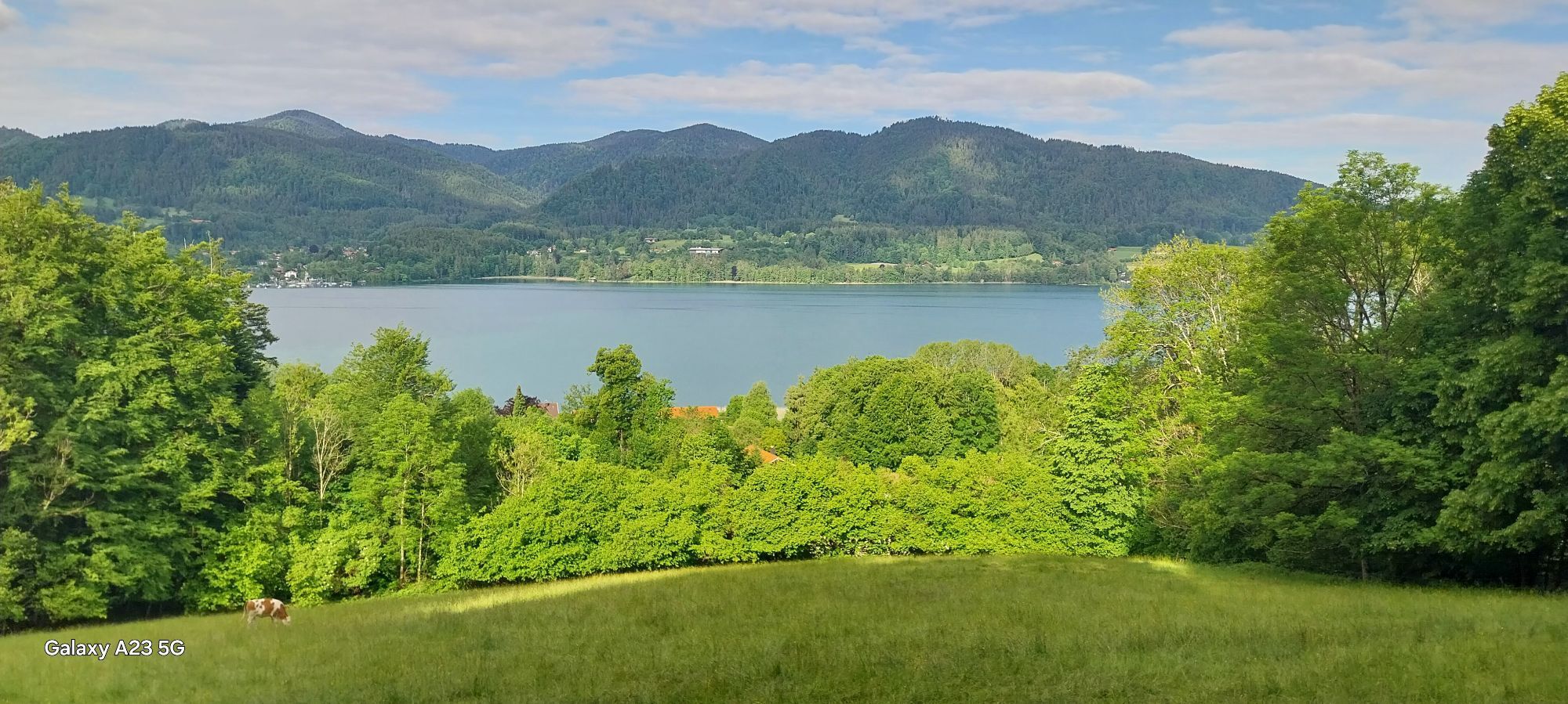
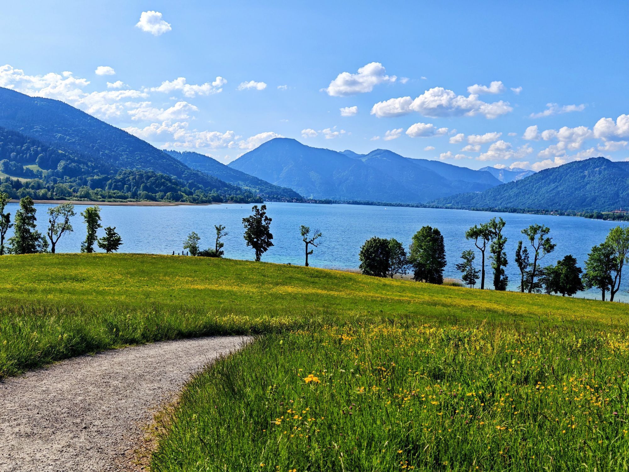
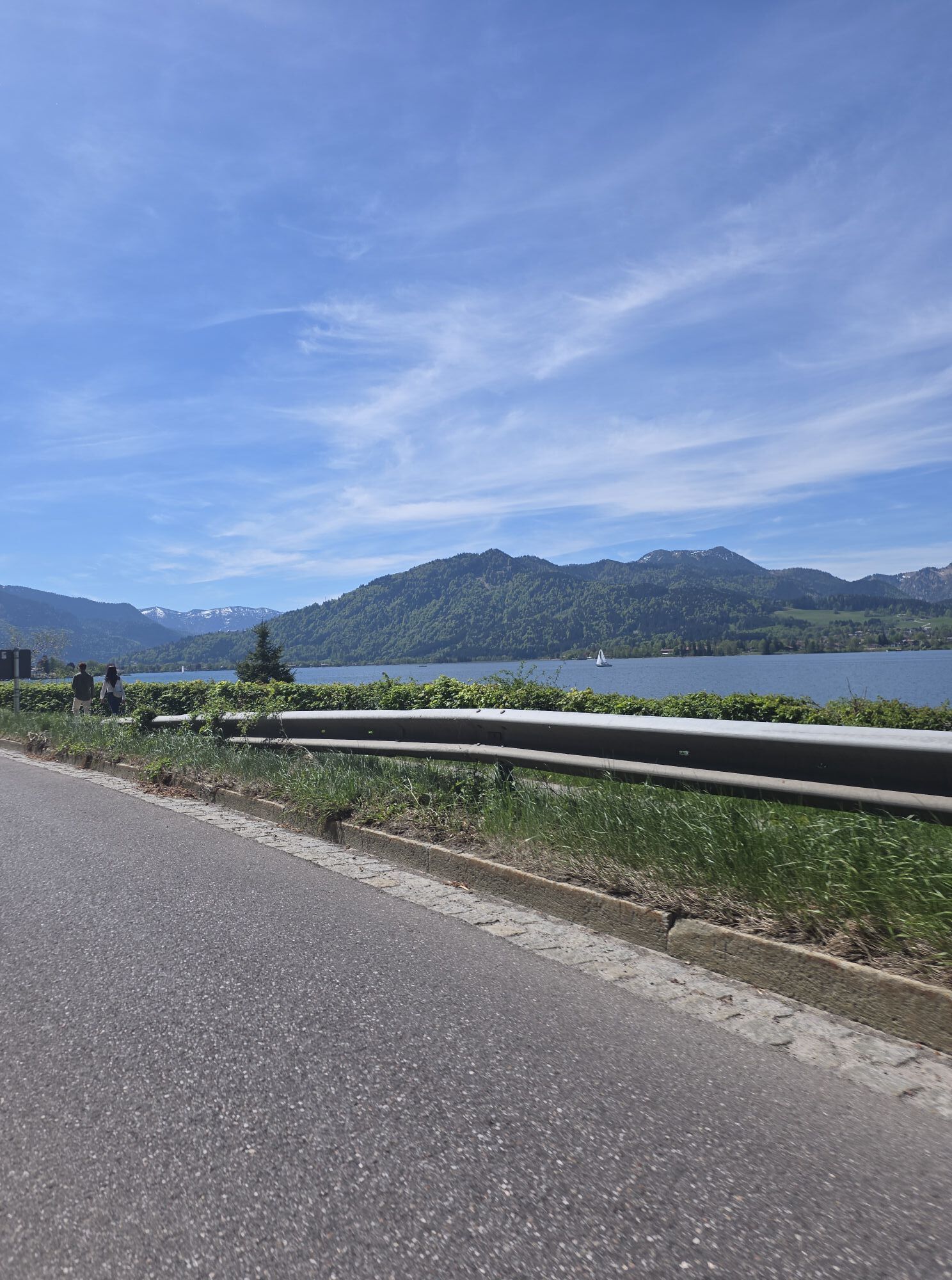
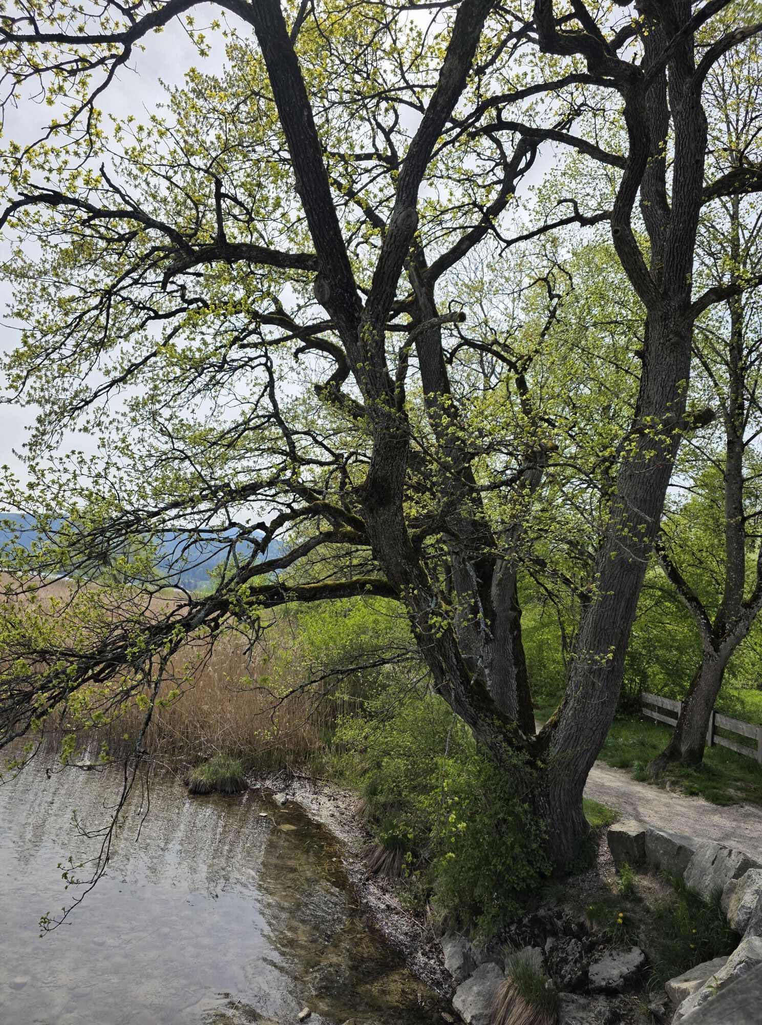
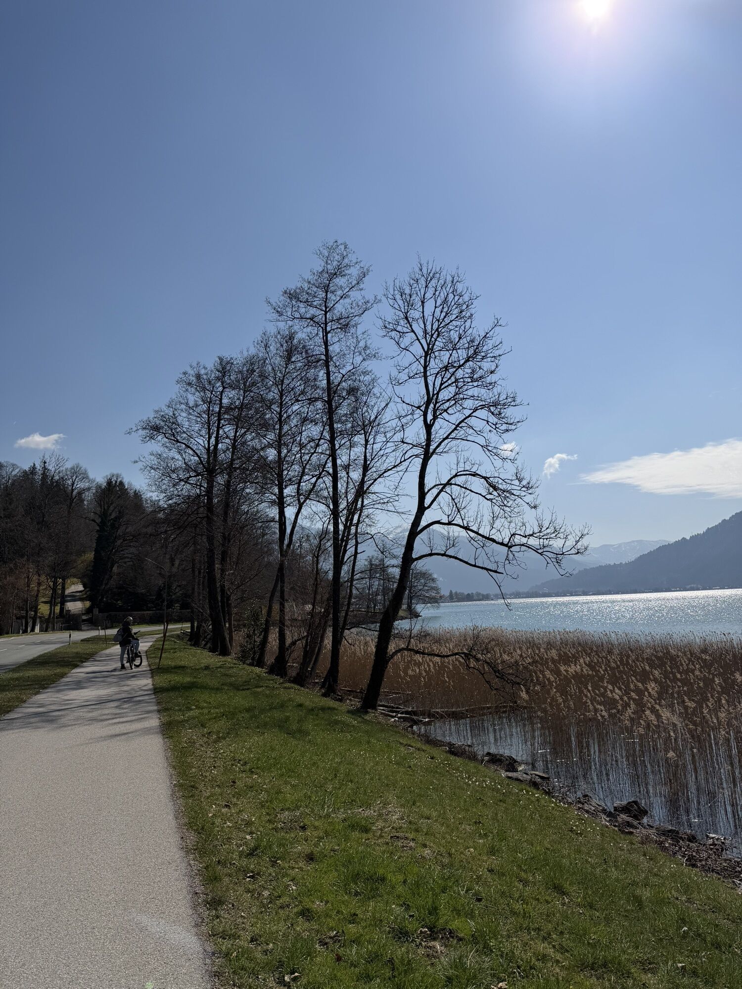
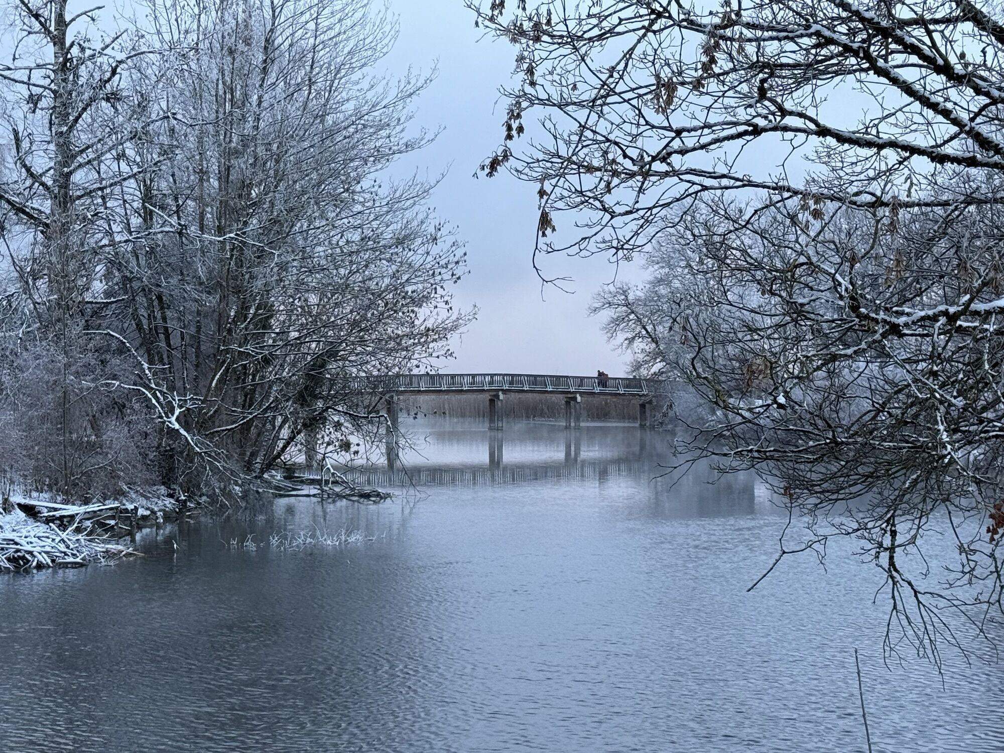
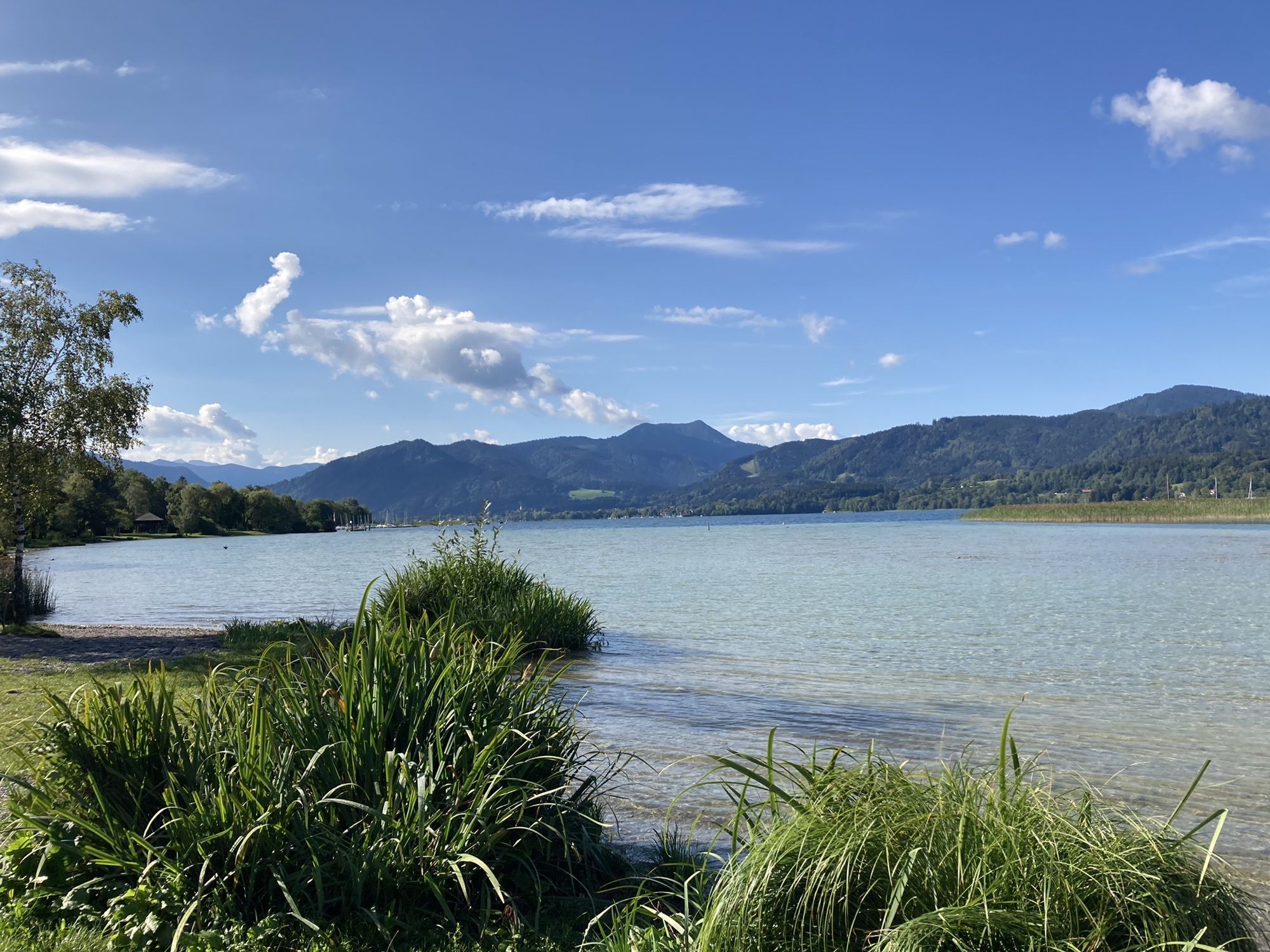
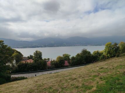
Beautiful circular hiking trail high above Lake Tegernsee to Gmund and along the lake back to the town of Tegernsee.

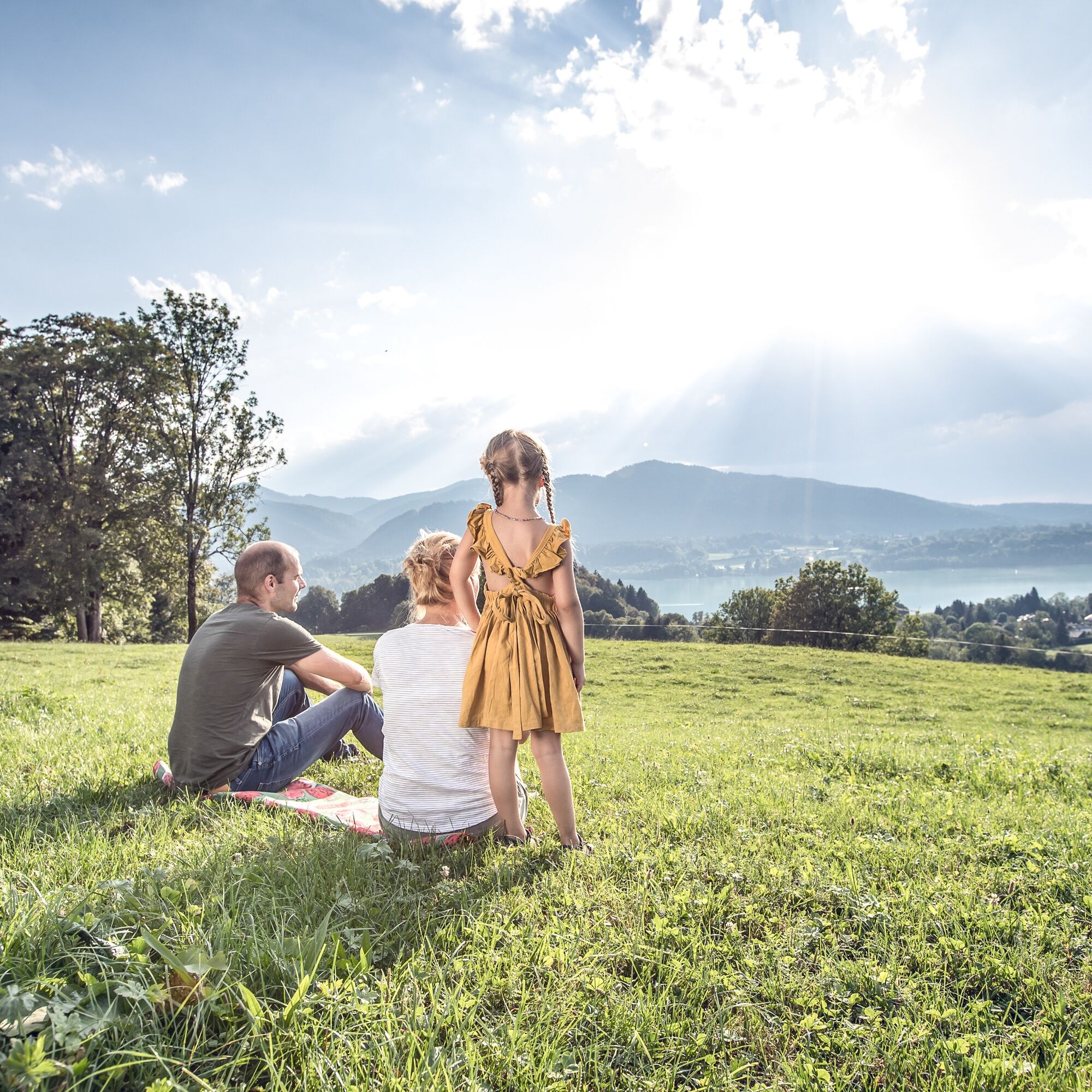
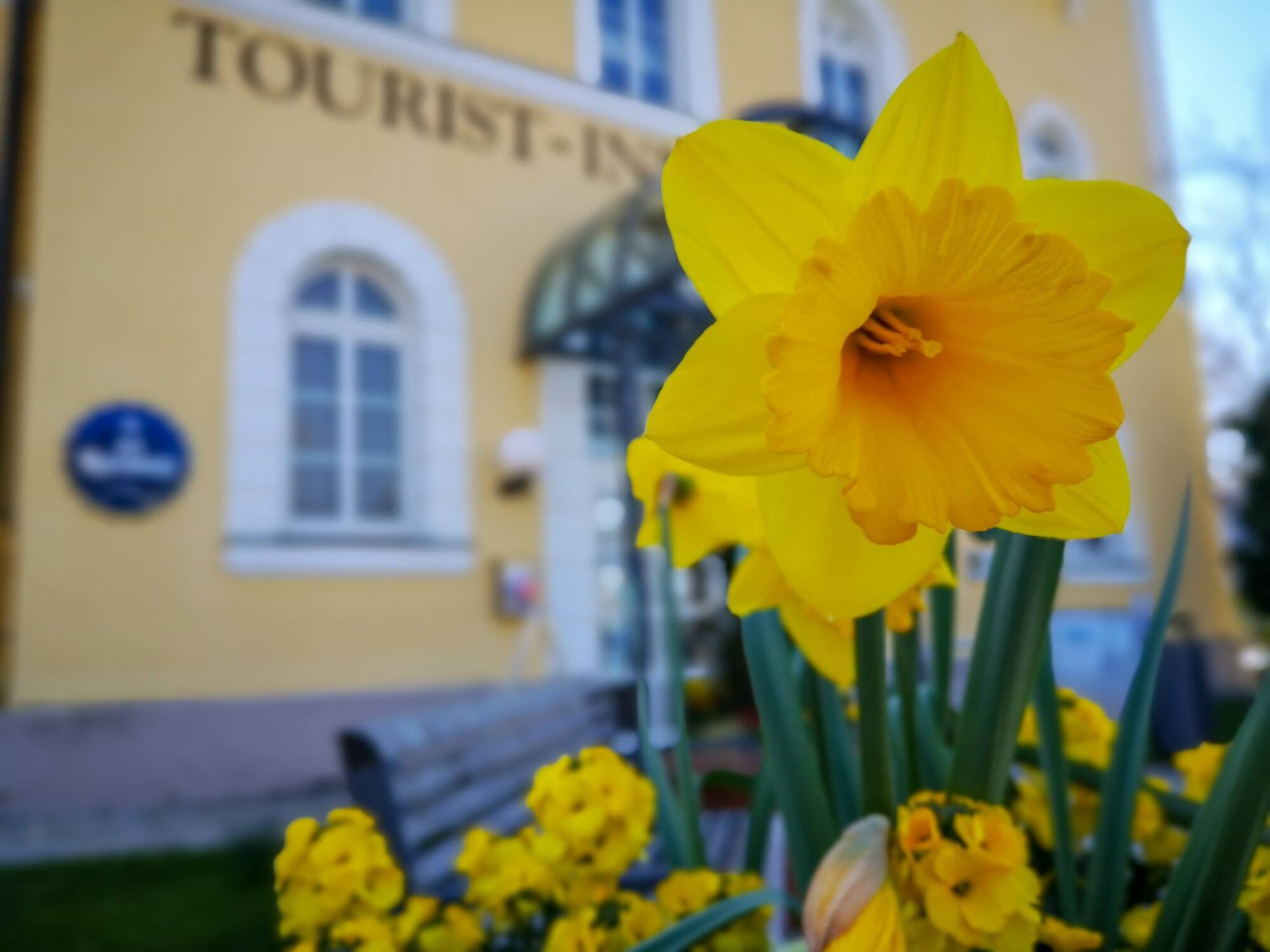
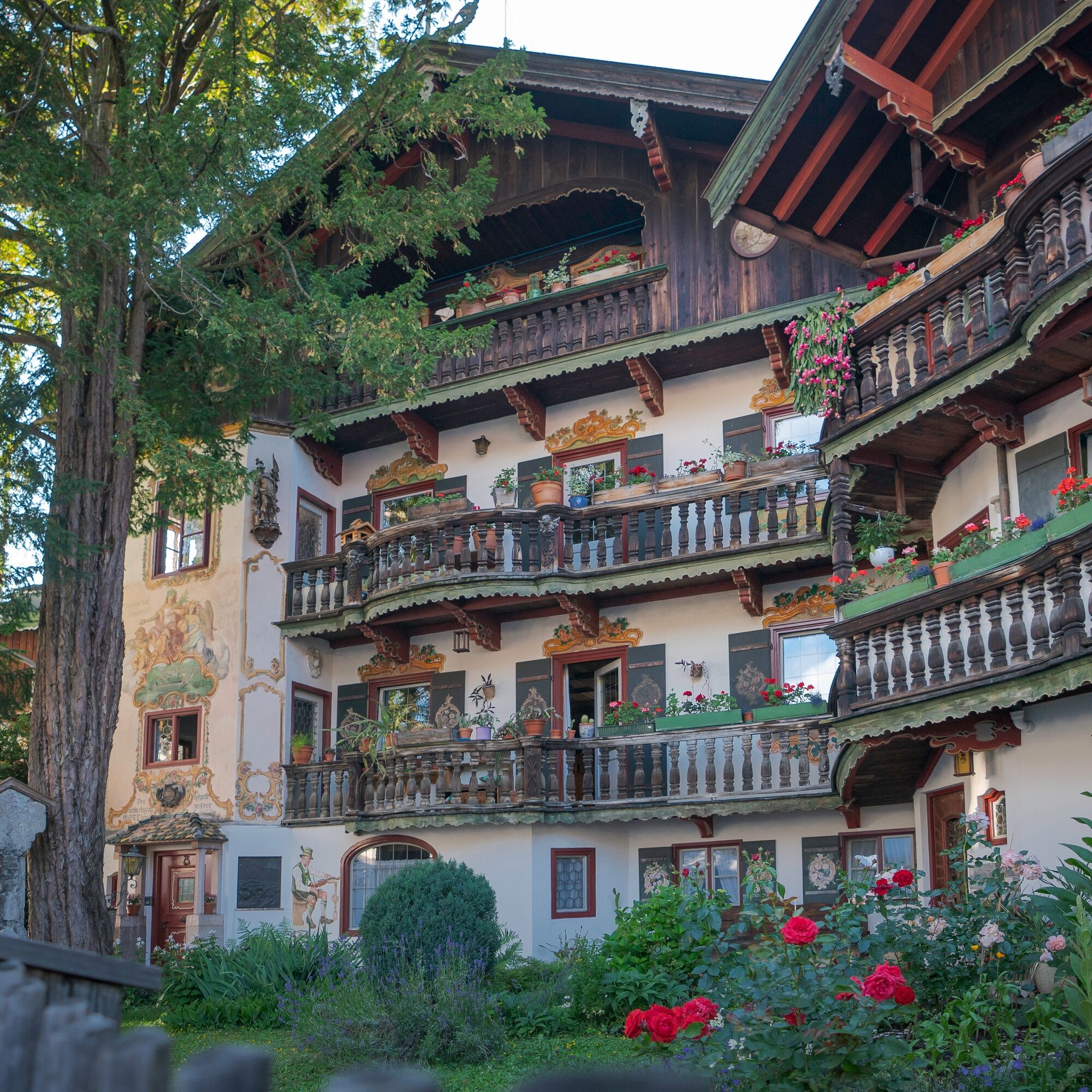
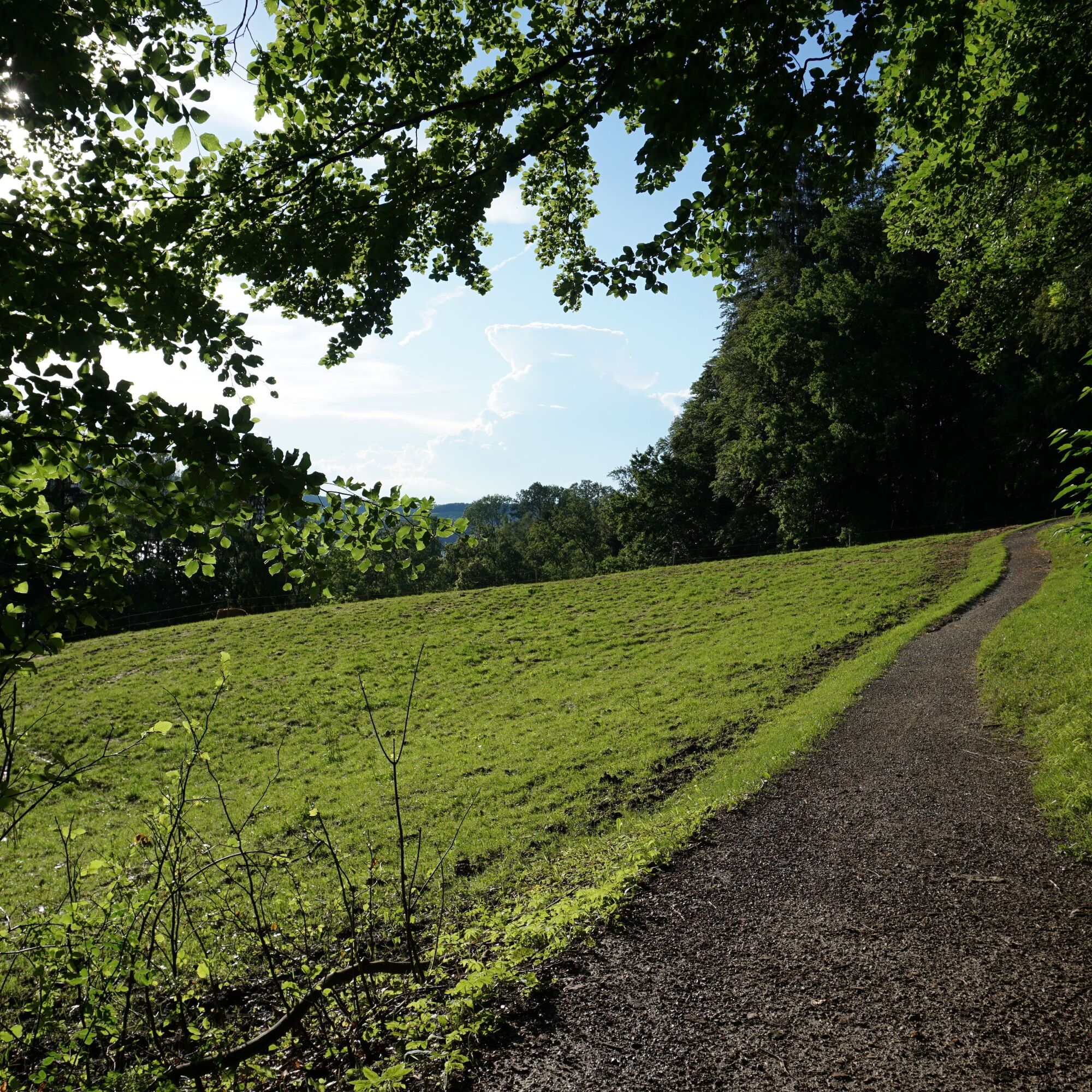
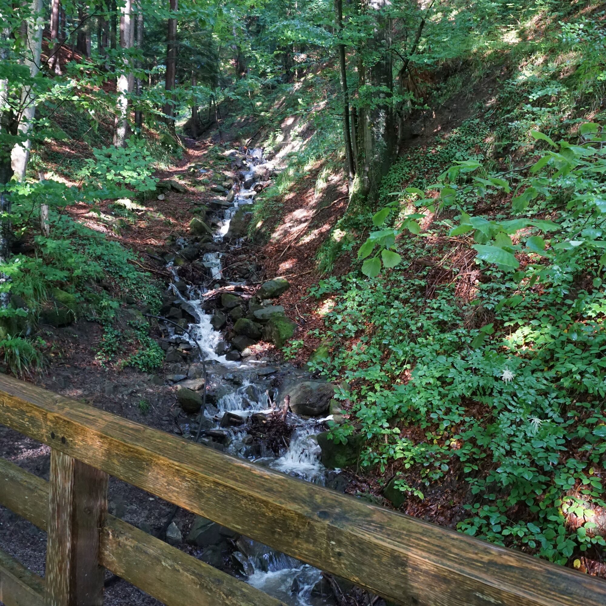
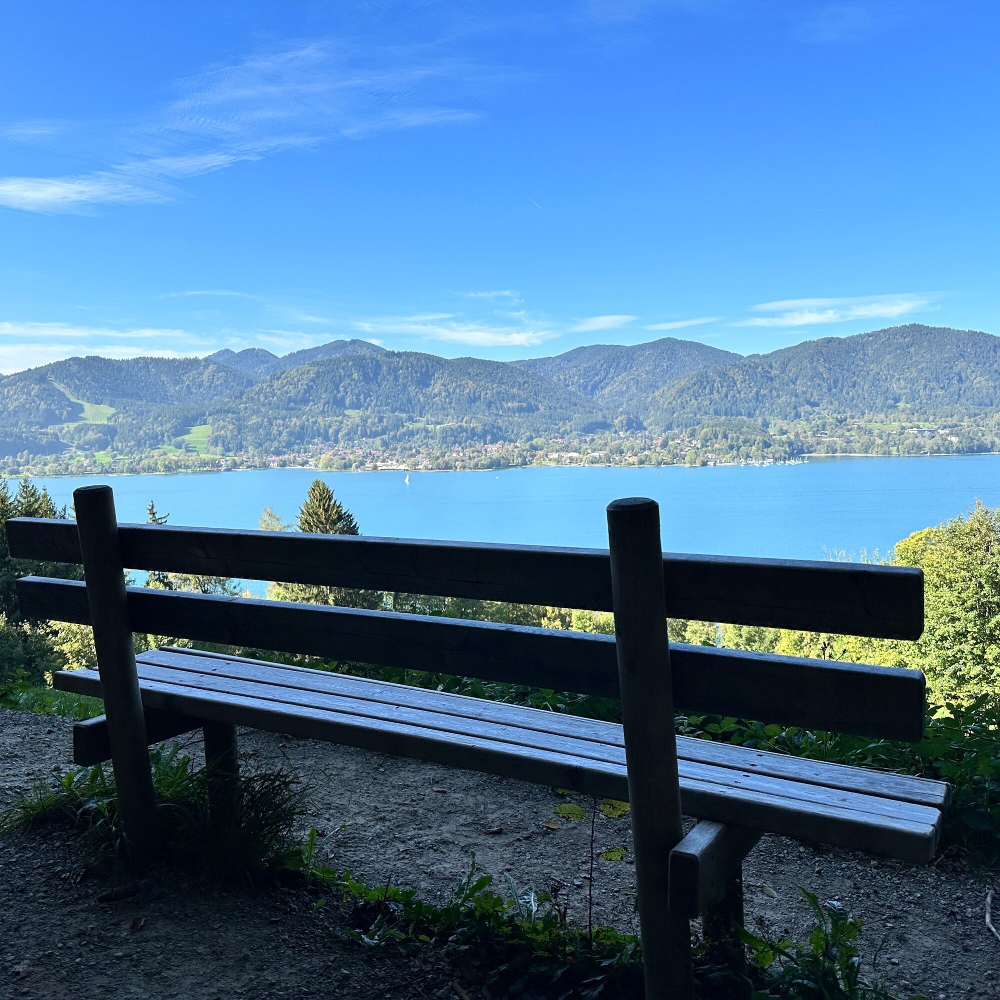
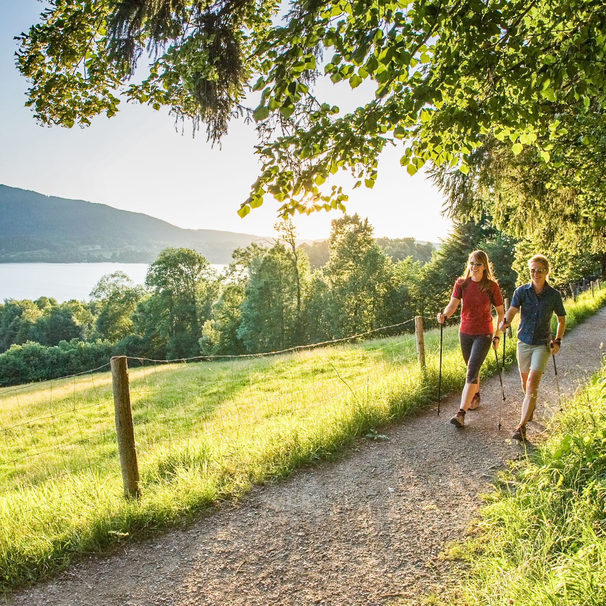
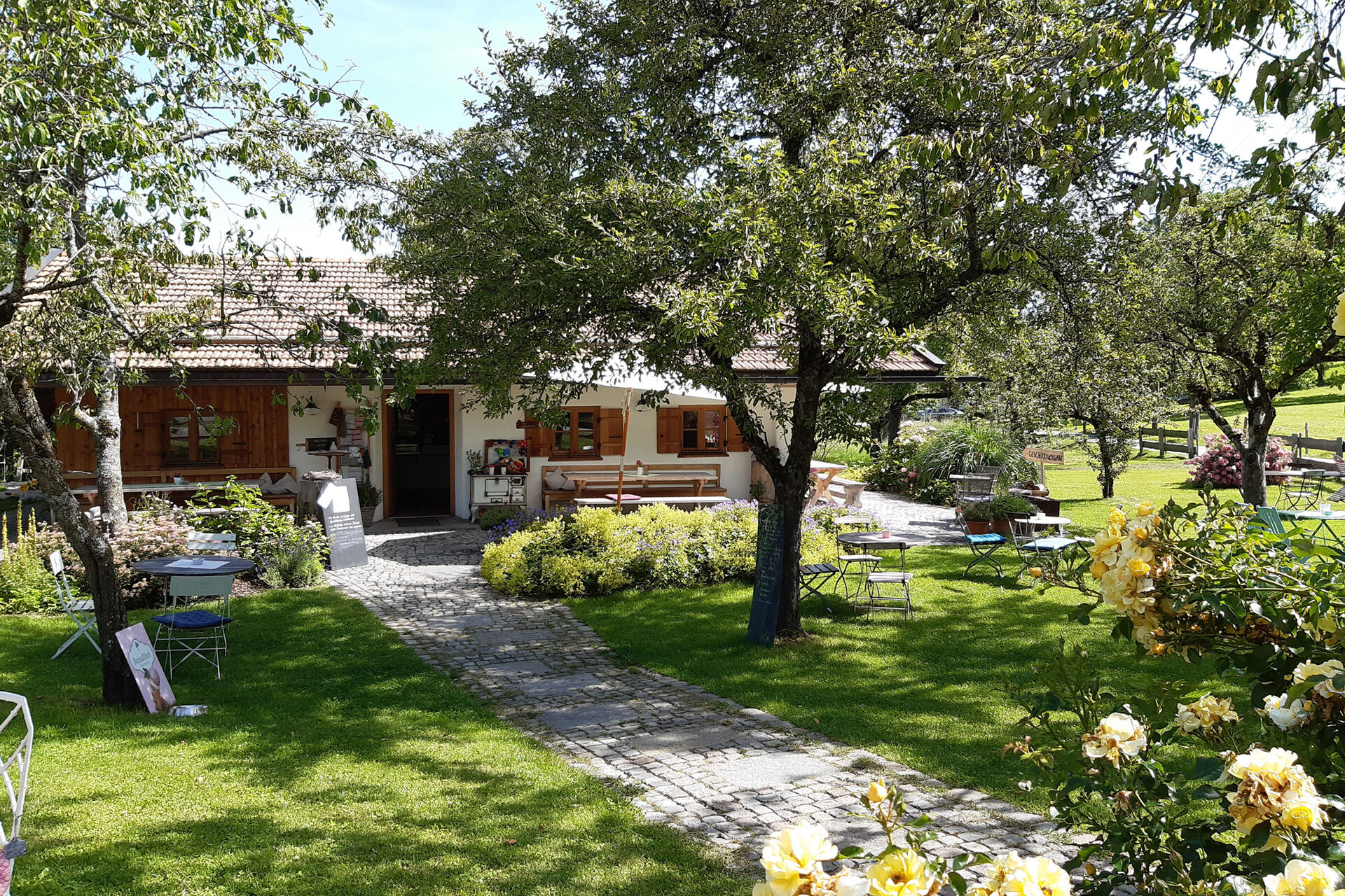
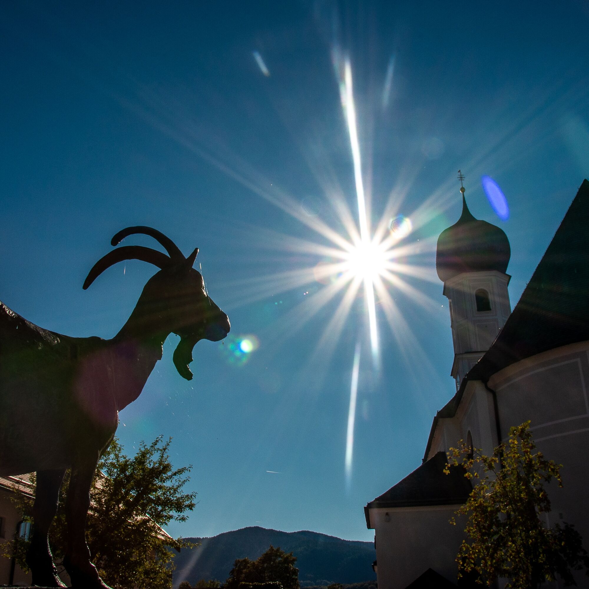
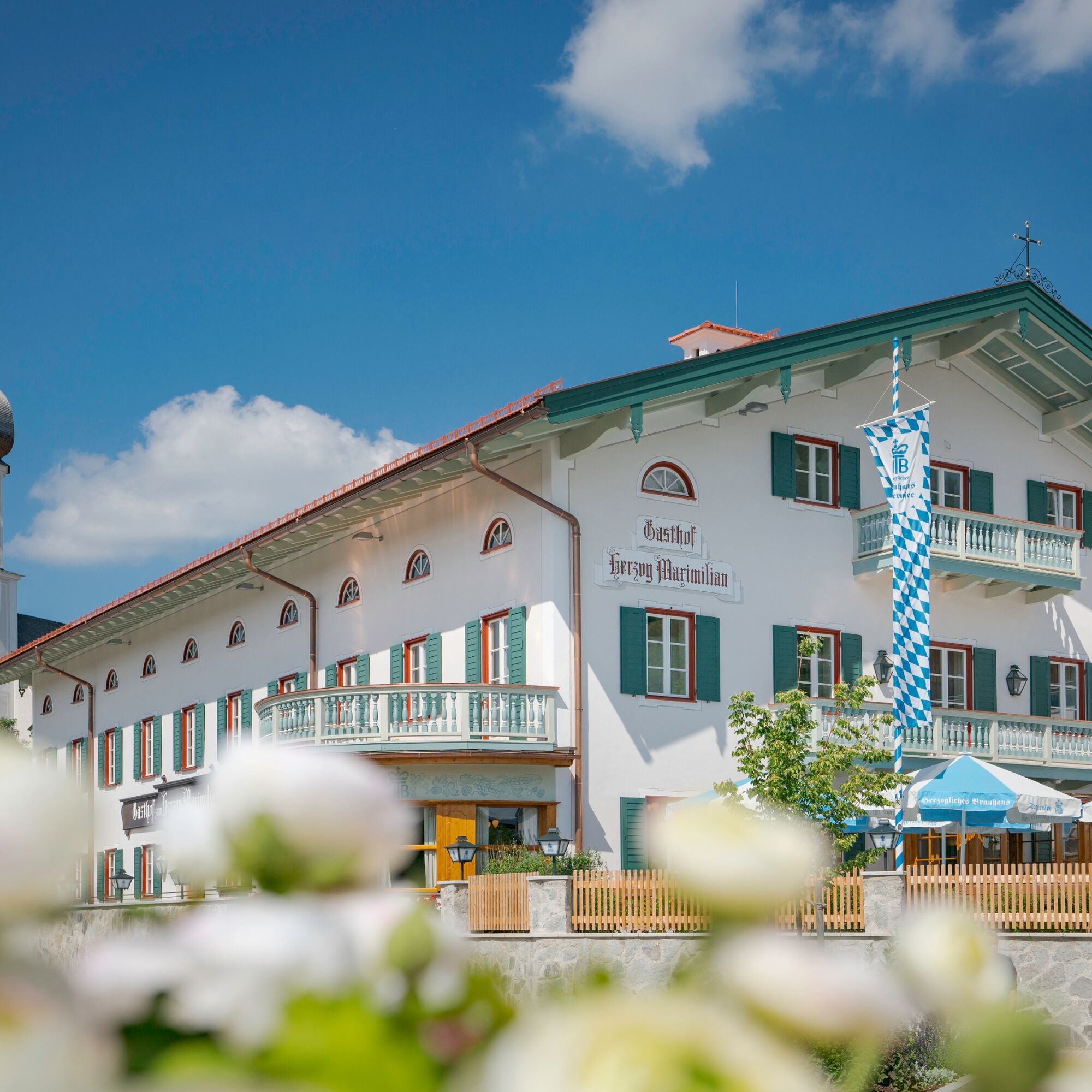
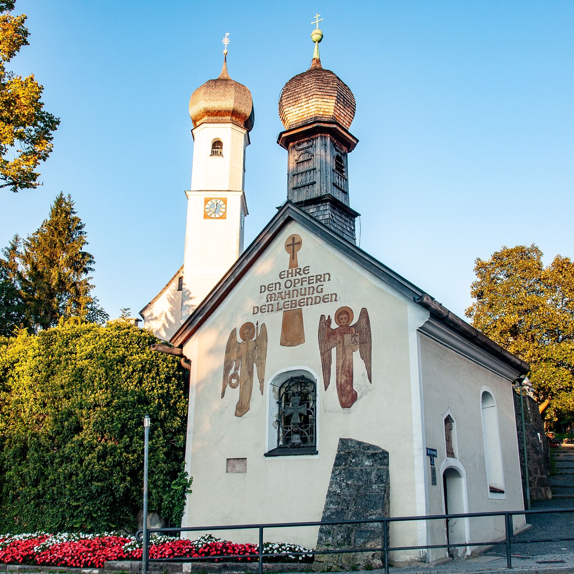
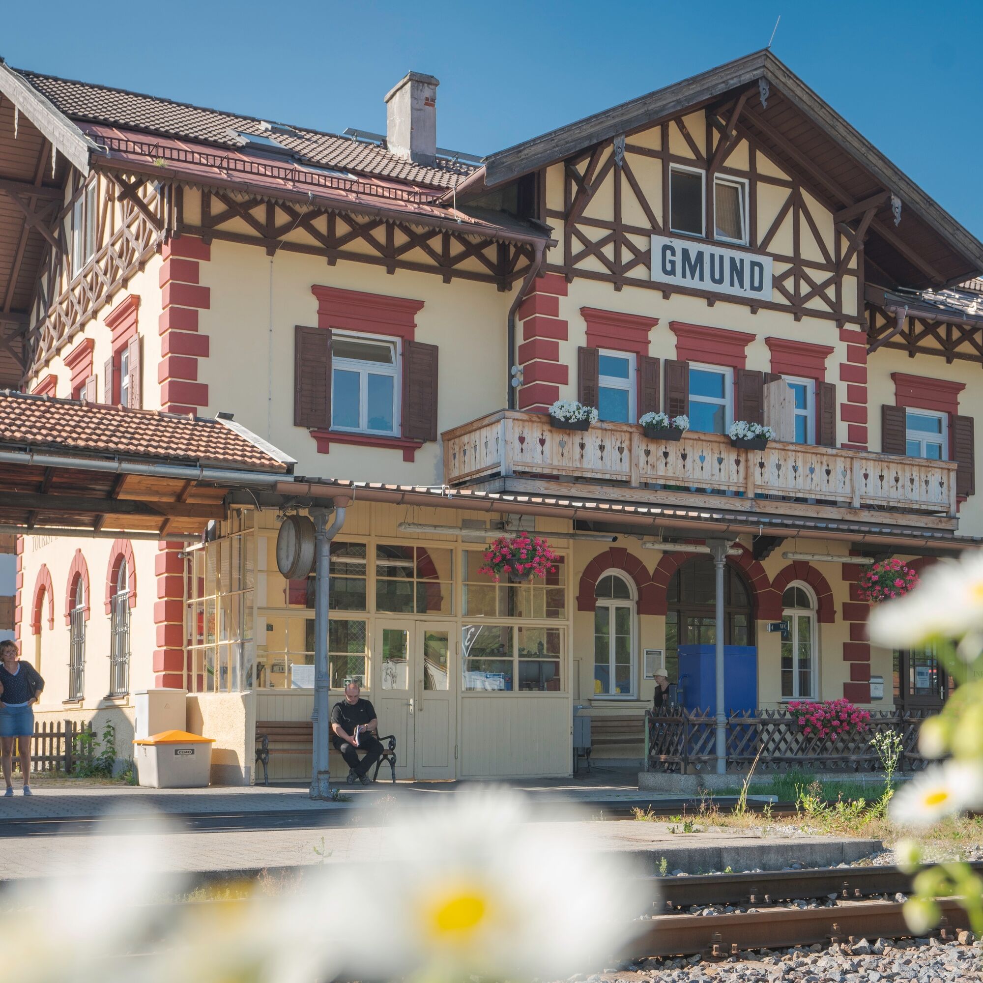
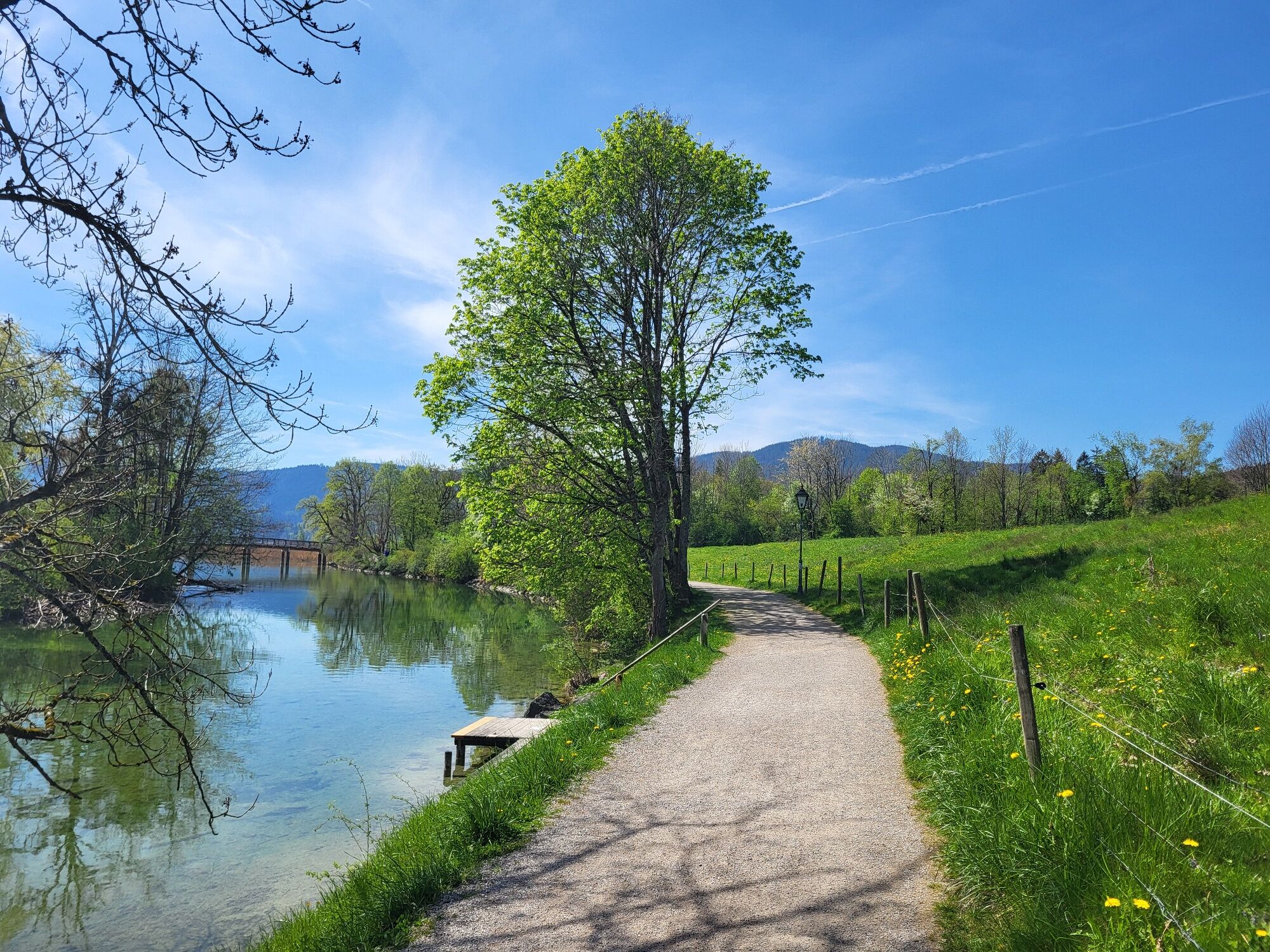
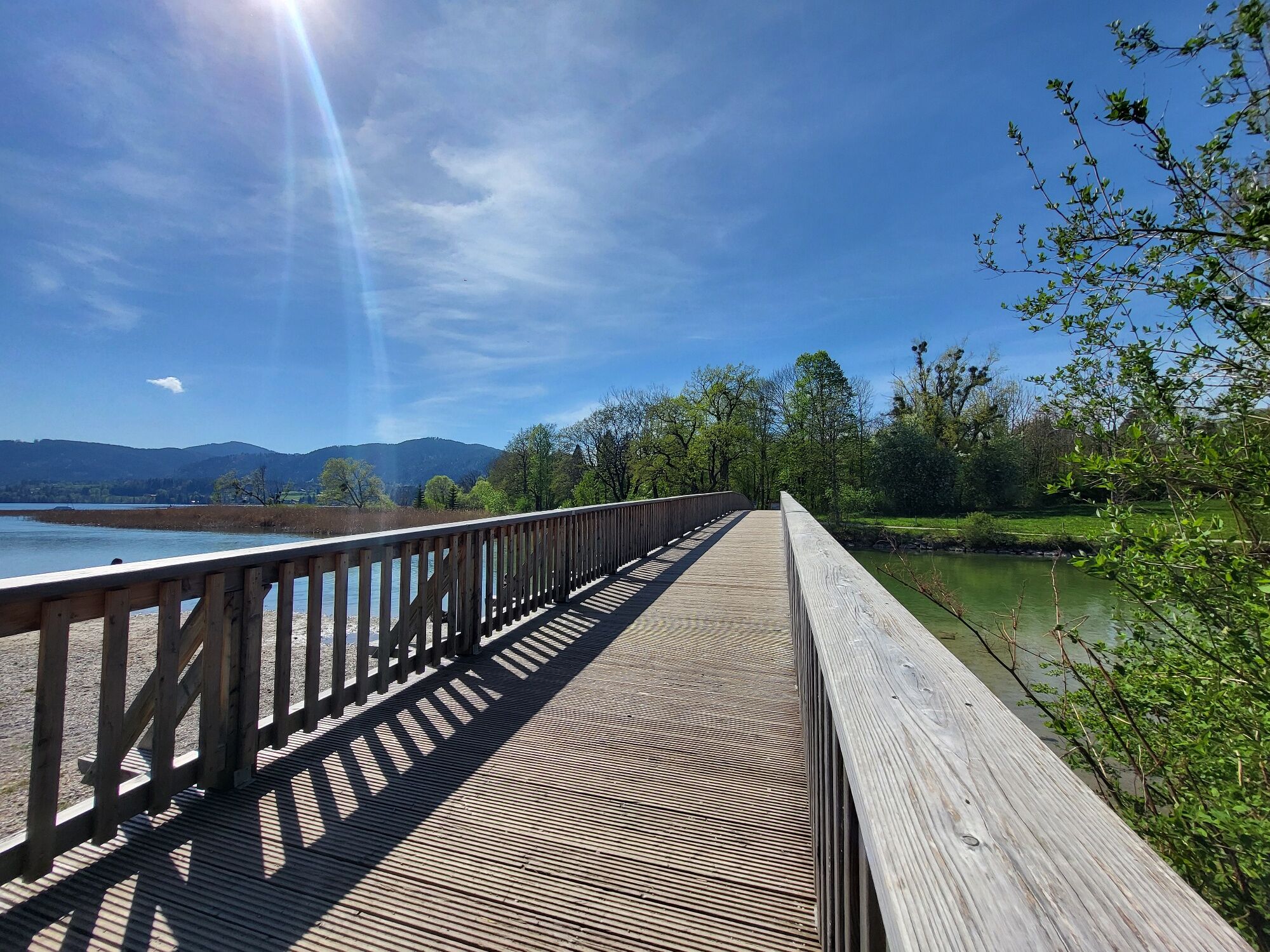
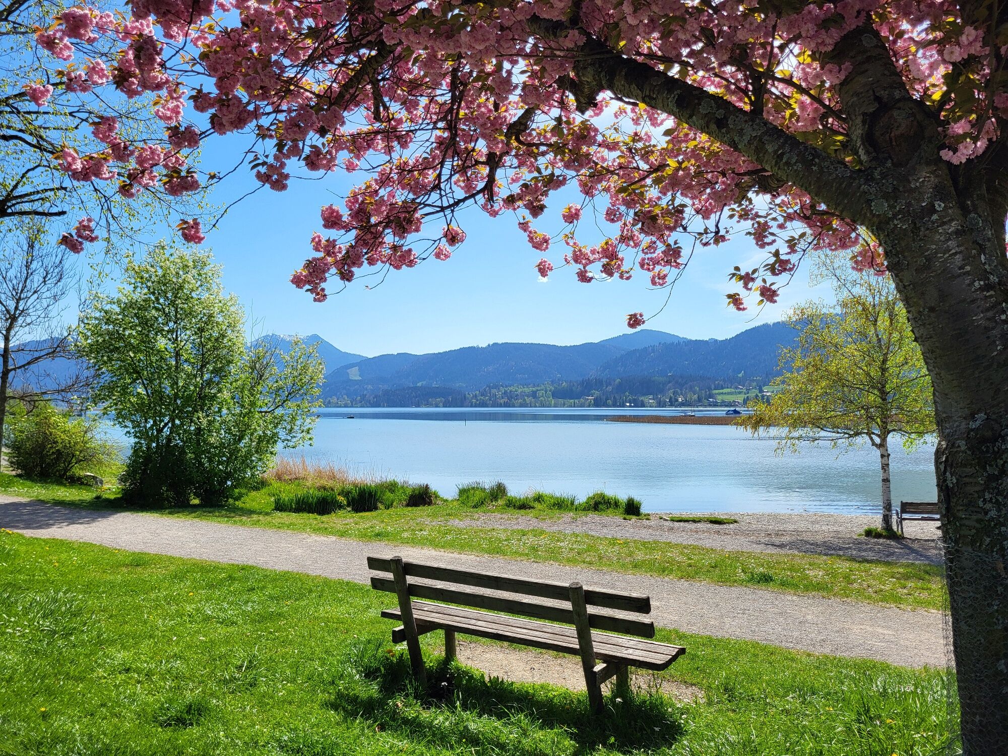
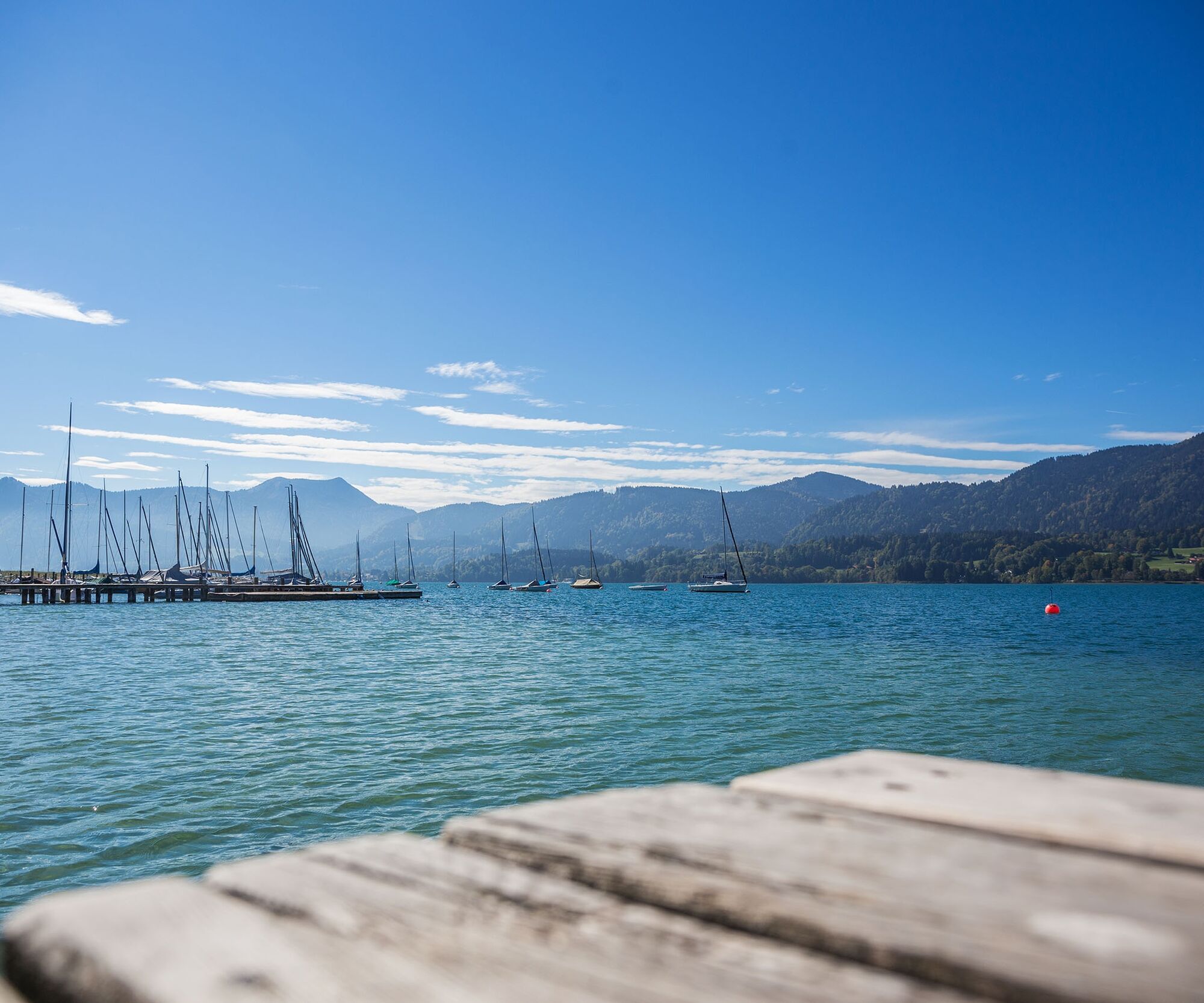
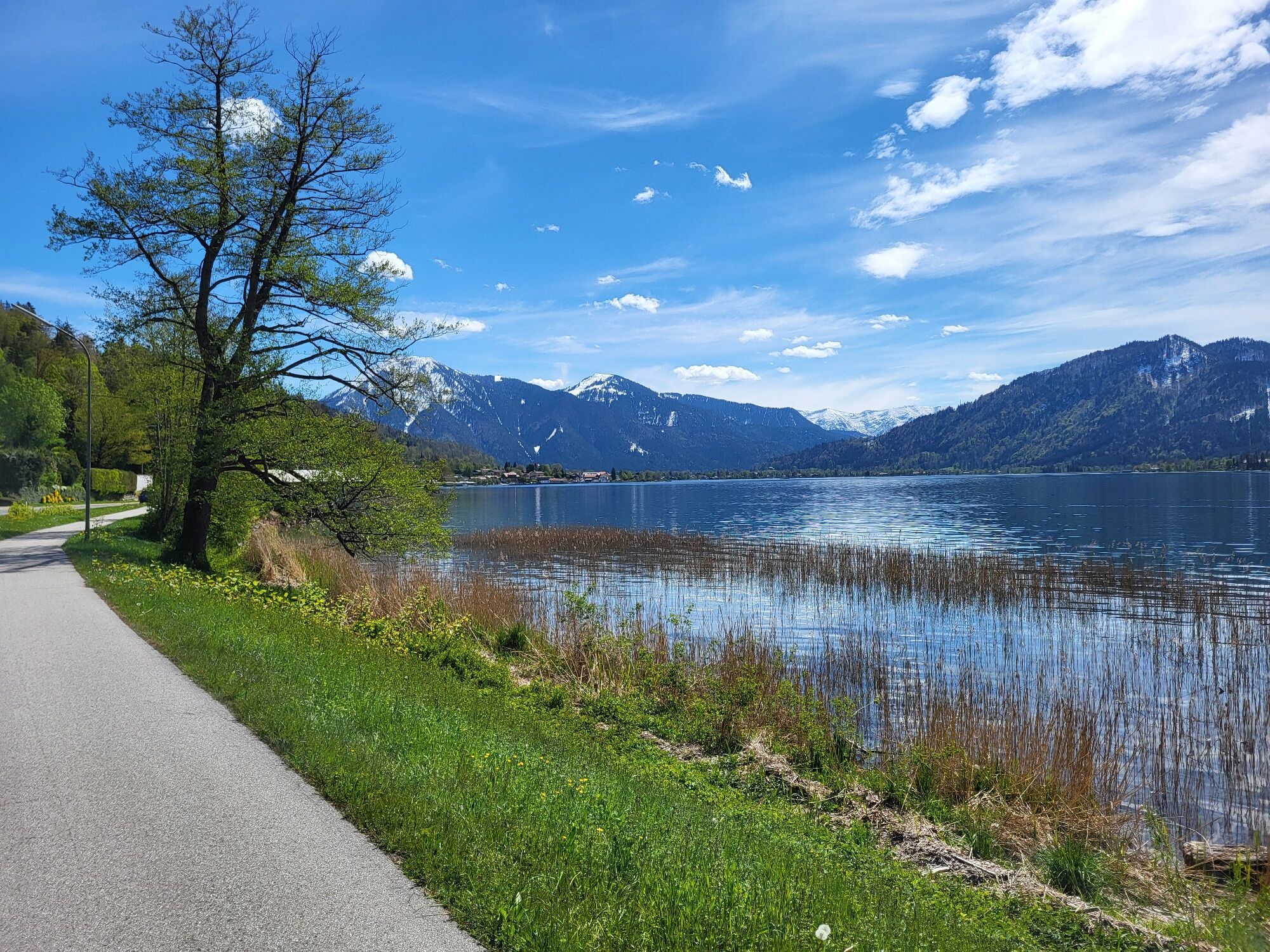
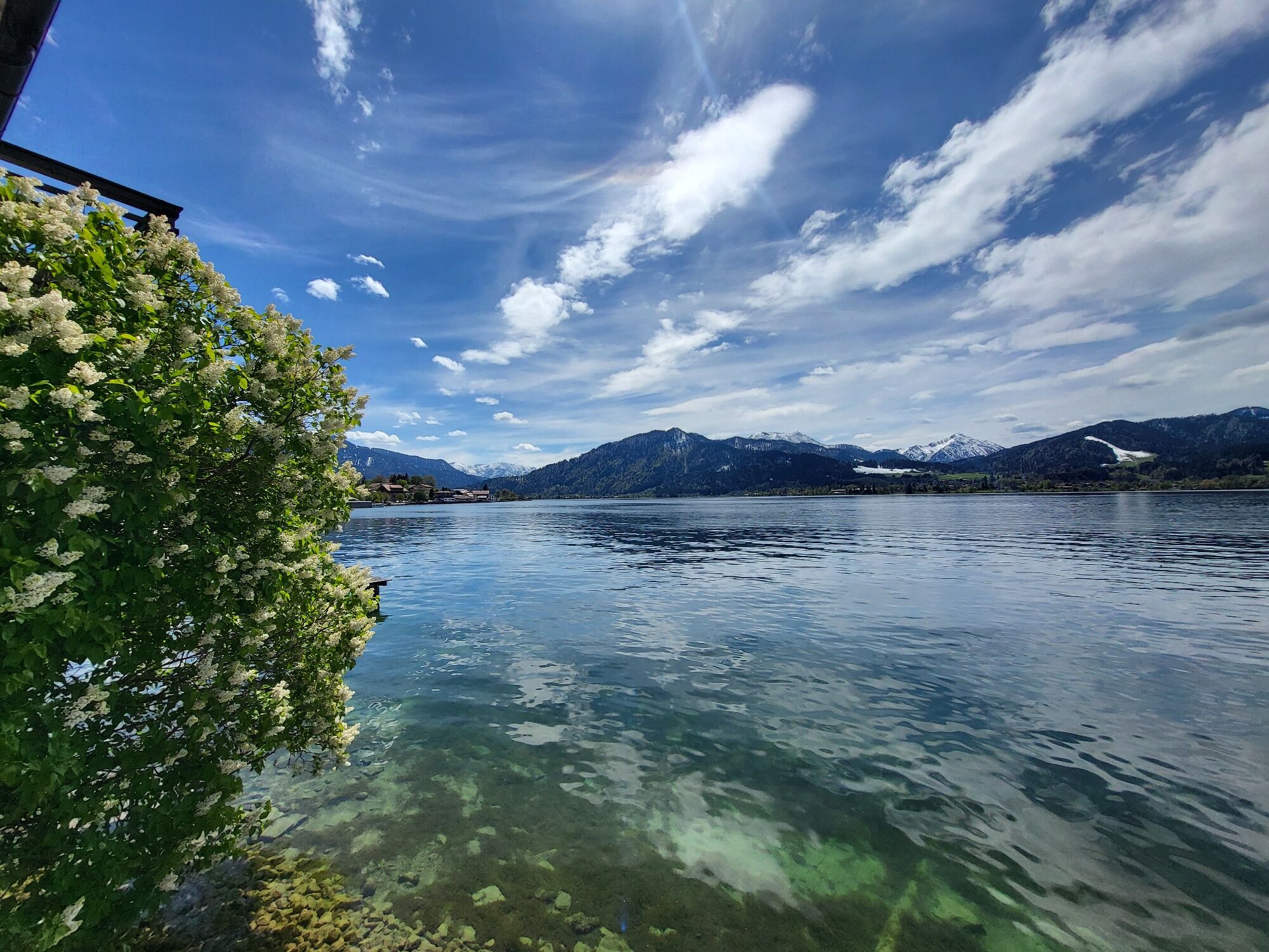

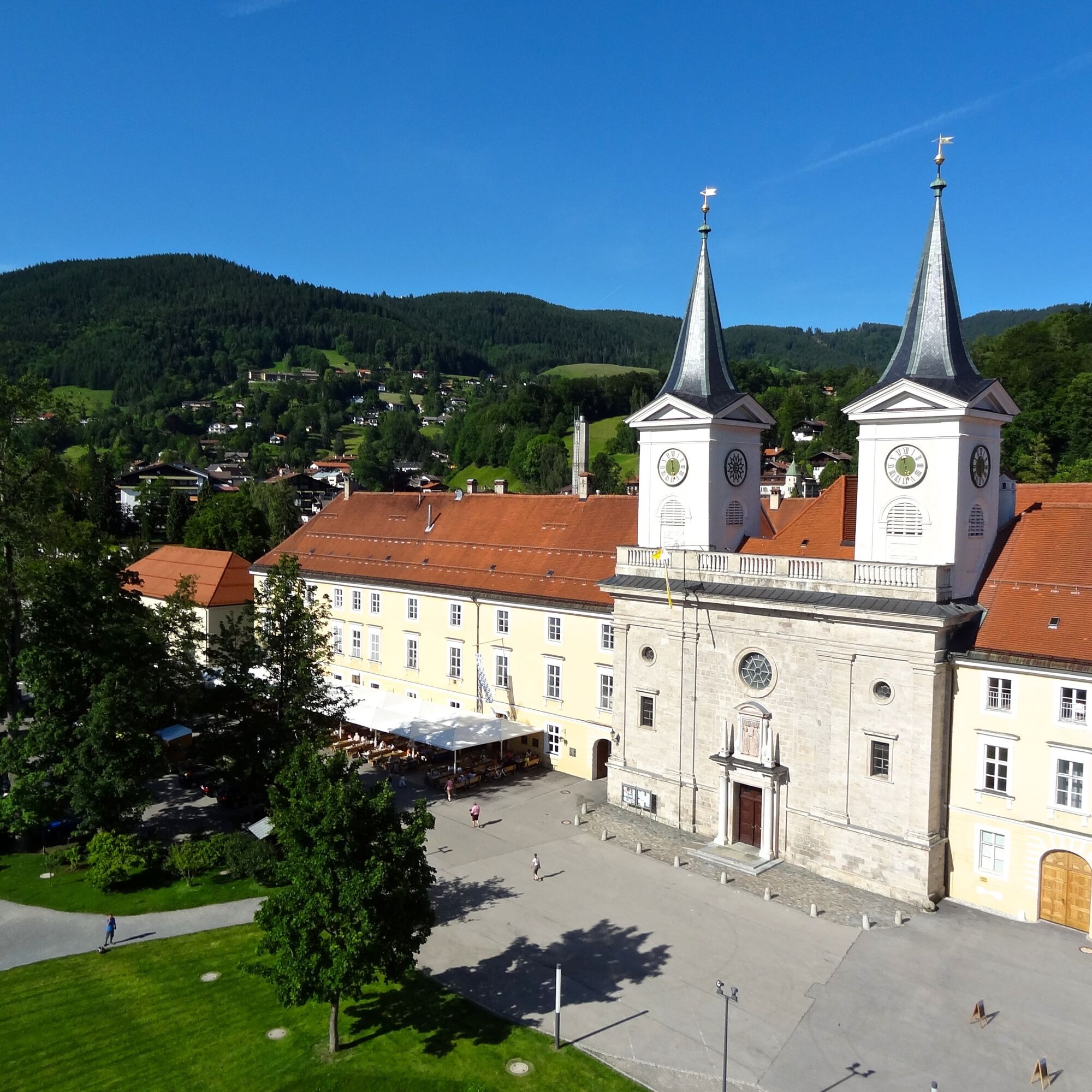
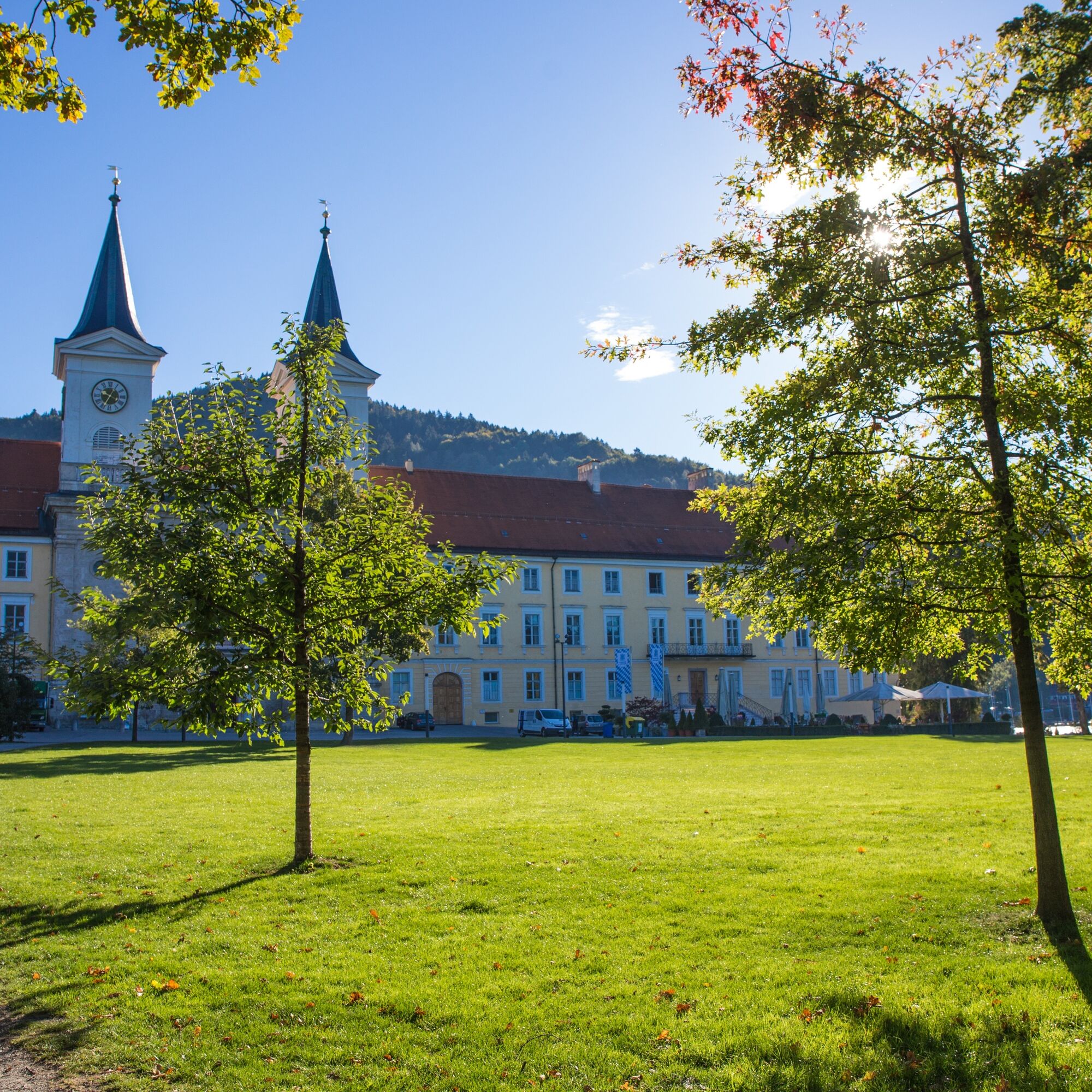
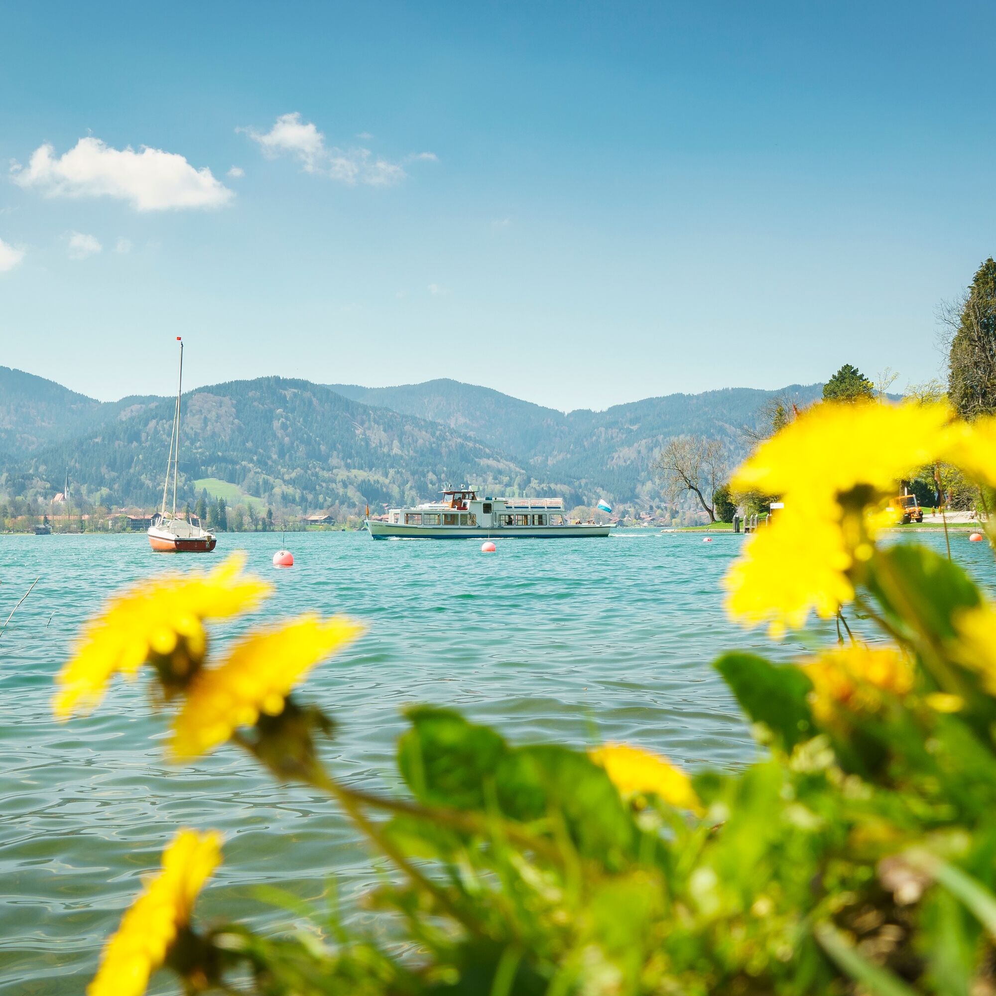

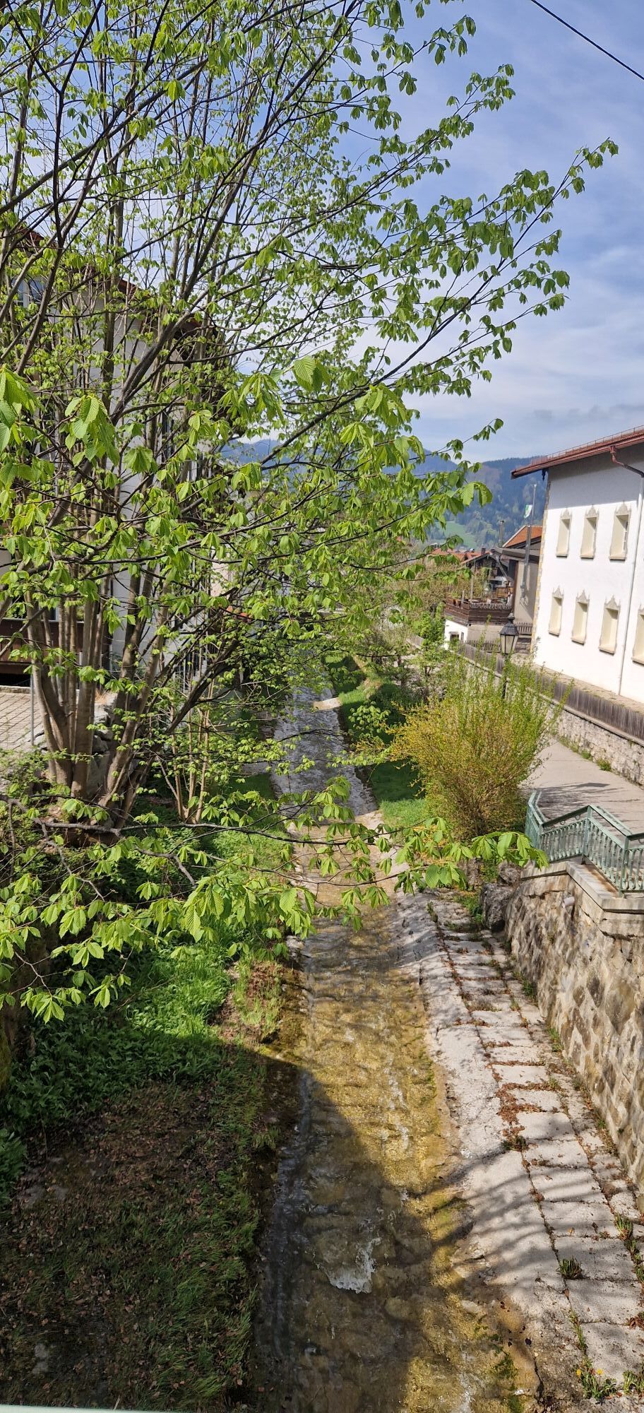
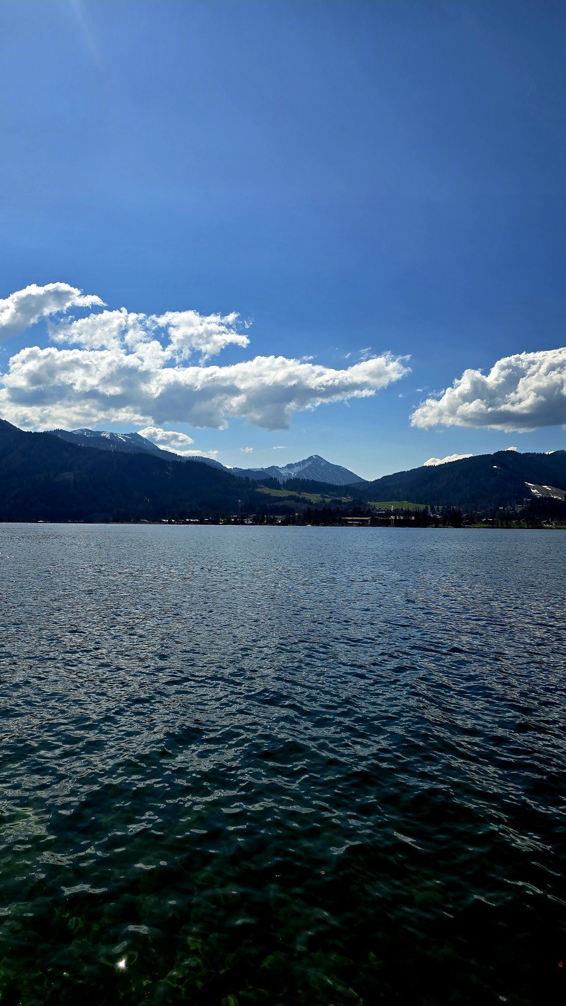
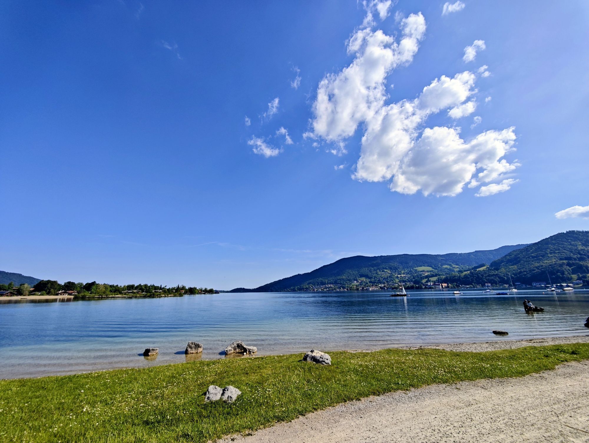
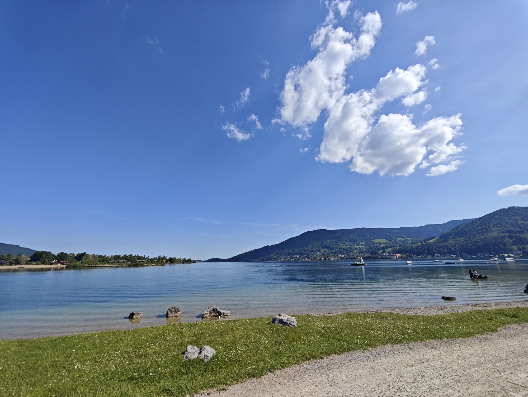
The route starts at the central car park in Tegernsee and first leads through the spa gardens, then follows the Alpach upstream to Bahnhofstraße. Follow this to Tegernsee station and then turn right onto Nigglweg. The Höhenweg to Gmund begins at Ludwig-Gschössmann-Weg and rewards with a first view of Lake Tegernsee. It is continuously marked with trail 510 up to the centre of Gmund. After a varied section in the forest, the route climbs shortly up to Oberbuchberg. Through the district Gasse and Gasslerstraße you reach the Catholic parish church St. Ägidius. It is not far now to the lake and the beautiful spa grounds in Seeglas. In between, a detour to the local history museum “Jagerhaus” in Gmund is worth it. Besides the ship landing stage, there is a beach and a large adventure playground in Seeglas. Return to Tegernsee on the foot and cycle path alongside the federal highway, always with the lake in sight. At the Seesauna Tegernsee, enjoy the final section on the wooden lake shore jetty to the Ducal Castle Tegernsee (formerly Tegernsee Abbey). The central car park at the spa park, the starting point of our hike, is located directly opposite the federal highway.
Ano
Sturdy footwear and weather-appropriate clothing.
All information without guarantee. Walking and cycling on the routes described here is at your own risk.
A8 to Holzkirchen exit, via B318 and B307 to Tegernsee.
By MVV to Tegernsee (Tegernsee station).
Bus stop “Rathaus” or “Steinmetzplatz”
Tegernsee, central car park (paid)
The return can be shortened from Gmund by ship, bus or train.


 Získejte přehled
Vždy živě na místě s více než 9 500 webkamerami. bergfex Jako uživatel Pro si nyní můžete zobrazit odpovídající webové kamery pro mnoho prohlídek v aplikaci prohlídky z. Můžete si tak přímo prohlédnout aktuální podmínky.
Získejte přehled
Vždy živě na místě s více než 9 500 webkamerami. bergfex Jako uživatel Pro si nyní můžete zobrazit odpovídající webové kamery pro mnoho prohlídek v aplikaci prohlídky z. Můžete si tak přímo prohlédnout aktuální podmínky.
Aktivity na trase
-

Tegernsee, Oberbayern/Deutschland
13.06.2026 – Turistika -
Tegernsee, Oberbayern/Deutschland
07.06.2026 – Turistika -
Tegernsee, Oberbayern/Deutschland
18.04.2026 – Turistika -
Gmund am Tegernsee, Oberbayern/Deutschland
06.03.2026 – Turistika -

Gmund am Tegernsee, Oberbayern/Deutschland
30.12.2025 – Turistika -

Gmund am Tegernsee, Oberbayern/Deutschland
28.12.2025 – Turistika -
Gmund am Tegernsee, Oberbayern/Deutschland
29.10.2025 – Turistika -
Tegernsee, Panoramasee
28.09.2025 – Turistika -
Sankt Quirin, Oberbayern/Deutschland
15.09.2025 – Turistika -

Gmund am Tegernsee, Upper Bavaria/Germany
29.08.2025 – Turistika -

Tegernsee, Oberbayern/Deutschland
25.08.2025 – Turistika
Oblíbené prohlídky v okolí
-
4.6
Summit route to the Wallberg
středníTuristika 12.2 km -
4.7
Alpbach valley and Neureuth
středníTuristika 12.9 km -
4.7
Lengrieser Hütte
středníTuristika 10.6 km -
4.6
Roß- and Buchstein, Tegernsee Hut
heavyTuristika 14.4 km -
4.6
Brecherspitze
středníHorská turistika 14.5 km -
4.8
Leonhardstein
středníTuristika 8.17 km -
4.5
Aueralm/Zwerglberg
středníTuristika 11.9 km -
4.5
Brecherspitz-Runde auf dem Normalweg Schliersee, Bayern
středníTuristika 11.3 km -
4.6
Hirschberg
středníHorská turistika 12 km -
3.7
Aueralm und Fockenstein
středníTuristika 14.1 km
Pěší turistika a stopování


Nenechte si ujít nabídky a inspiraci pro vaši příští dovolenou
Vaše e-mailová adresa byl přidán do poštovního seznamu.





