





Bike and Hike Route - Roß and Buchstein
Fotografie našich uživatelů
 © Hülya_KayaVytvořeno dne 20.09.2025
 © Hülya_KayaVytvořeno dne 20.09.2025
 © Hülya_KayaVytvořeno dne 20.09.2025
 © Hülya_KayaVytvořeno dne 20.09.2025
 © Hülya_KayaVytvořeno dne 20.09.2025
 © Hülya_KayaVytvořeno dne 20.09.2025
 © Hülya_KayaVytvořeno dne 20.09.2025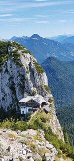
 © I Breitler60Vytvořeno dne 04.09.2025
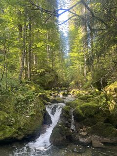 © Florian HVytvořeno dne 19.08.2025
 © Florian HVytvořeno dne 19.08.2025
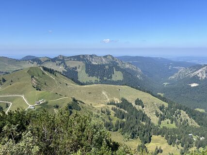 © Florian HVytvořeno dne 19.08.2025
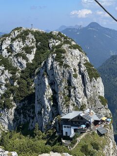 © Florian HVytvořeno dne 19.08.2025
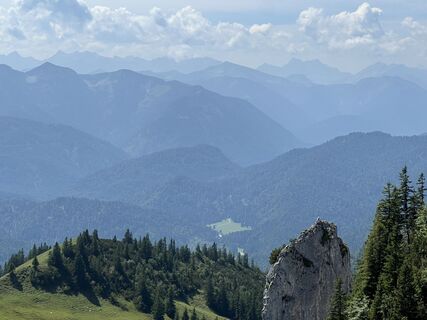 © Florian HVytvořeno dne 19.08.2025
 © Florian HVytvořeno dne 19.08.2025
 © Florian HVytvořeno dne 19.08.2025
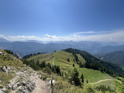 © Florian HVytvořeno dne 19.08.2025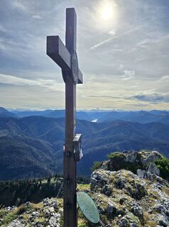
 © se_muckVytvořeno dne 19.10.2024
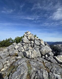 © se_muckVytvořeno dne 19.10.2024
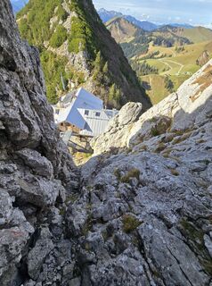 © se_muckVytvořeno dne 19.10.2024
 © se_muckVytvořeno dne 19.10.2024
 © se_muckVytvořeno dne 19.10.2024
 © se_muckVytvořeno dne 19.10.2024
 © se_muckVytvořeno dne 19.10.2024
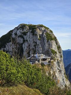 © se_muckVytvořeno dne 19.10.2024
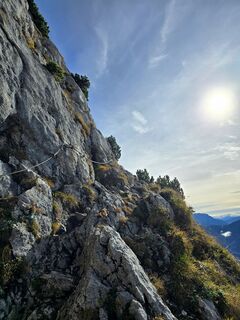 © se_muckVytvořeno dne 19.10.2024
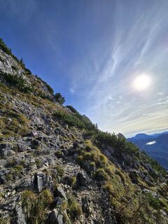 © se_muckVytvořeno dne 19.10.2024
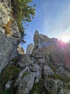 © se_muckVytvořeno dne 19.10.2024
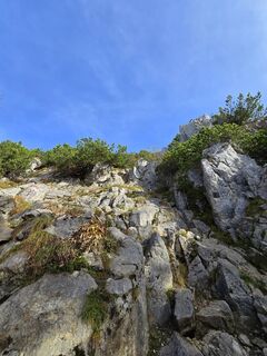 © se_muckVytvořeno dne 19.10.2024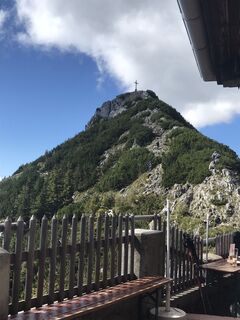
 © Tine HarthVytvořeno dne 22.09.2022
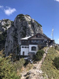 © Tine HarthVytvořeno dne 22.09.2022
 © Tine HarthVytvořeno dne 22.09.2022
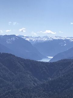 © Tine HarthVytvořeno dne 22.09.2022
 © Tine HarthVytvořeno dne 22.09.2022
 © Tine HarthVytvořeno dne 22.09.2022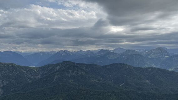
 © Reiner HennemuthVytvořeno dne 06.06.2025
 © Reiner HennemuthVytvořeno dne 06.06.2025
 © Reiner HennemuthVytvořeno dne 06.06.2025
 © Reiner HennemuthVytvořeno dne 06.06.2025
 © Reiner HennemuthVytvořeno dne 06.06.2025
 © Reiner HennemuthVytvořeno dne 06.06.2025
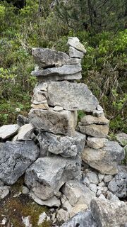 © Reiner HennemuthVytvořeno dne 06.06.2025
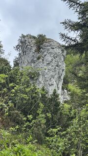 © Reiner HennemuthVytvořeno dne 06.06.2025
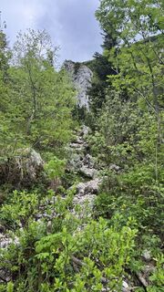 © Reiner HennemuthVytvořeno dne 06.06.2025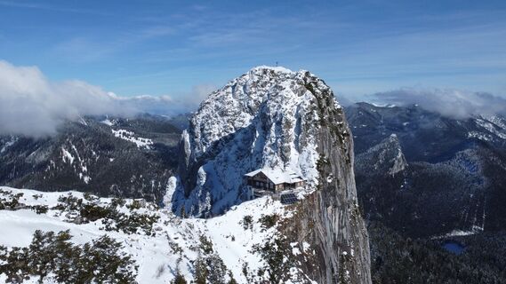
 © Szuki76Vytvořeno dne 24.02.2024
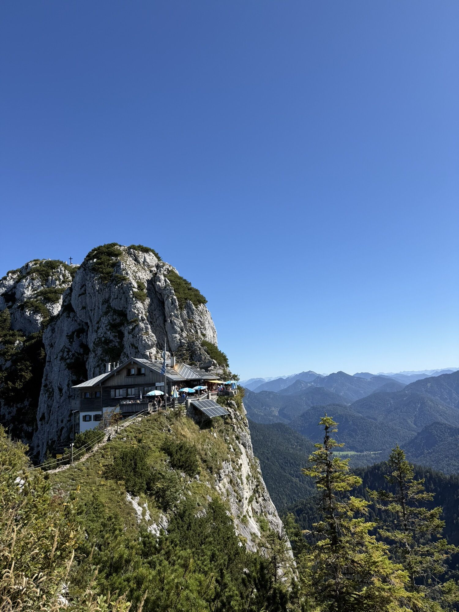
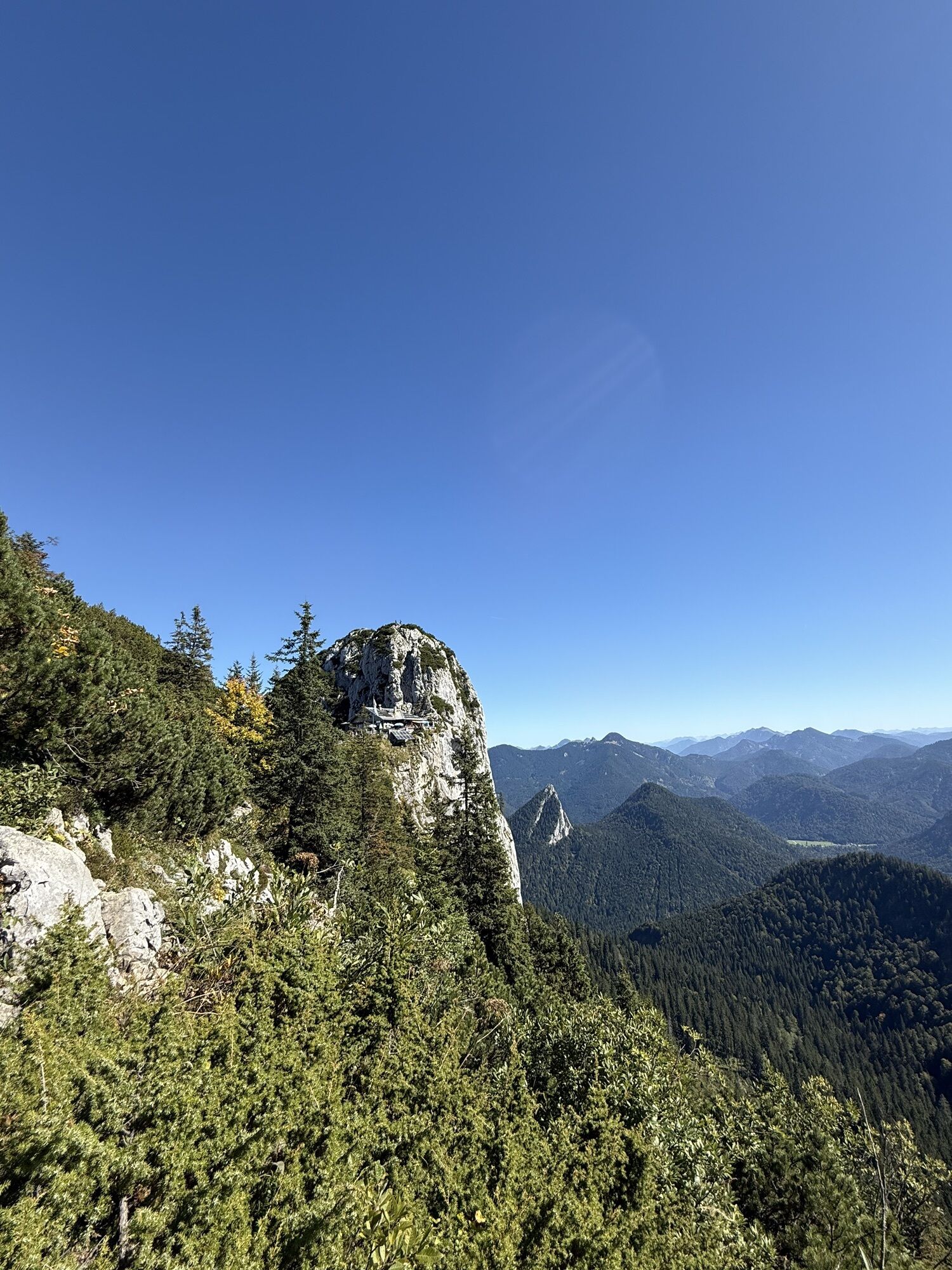
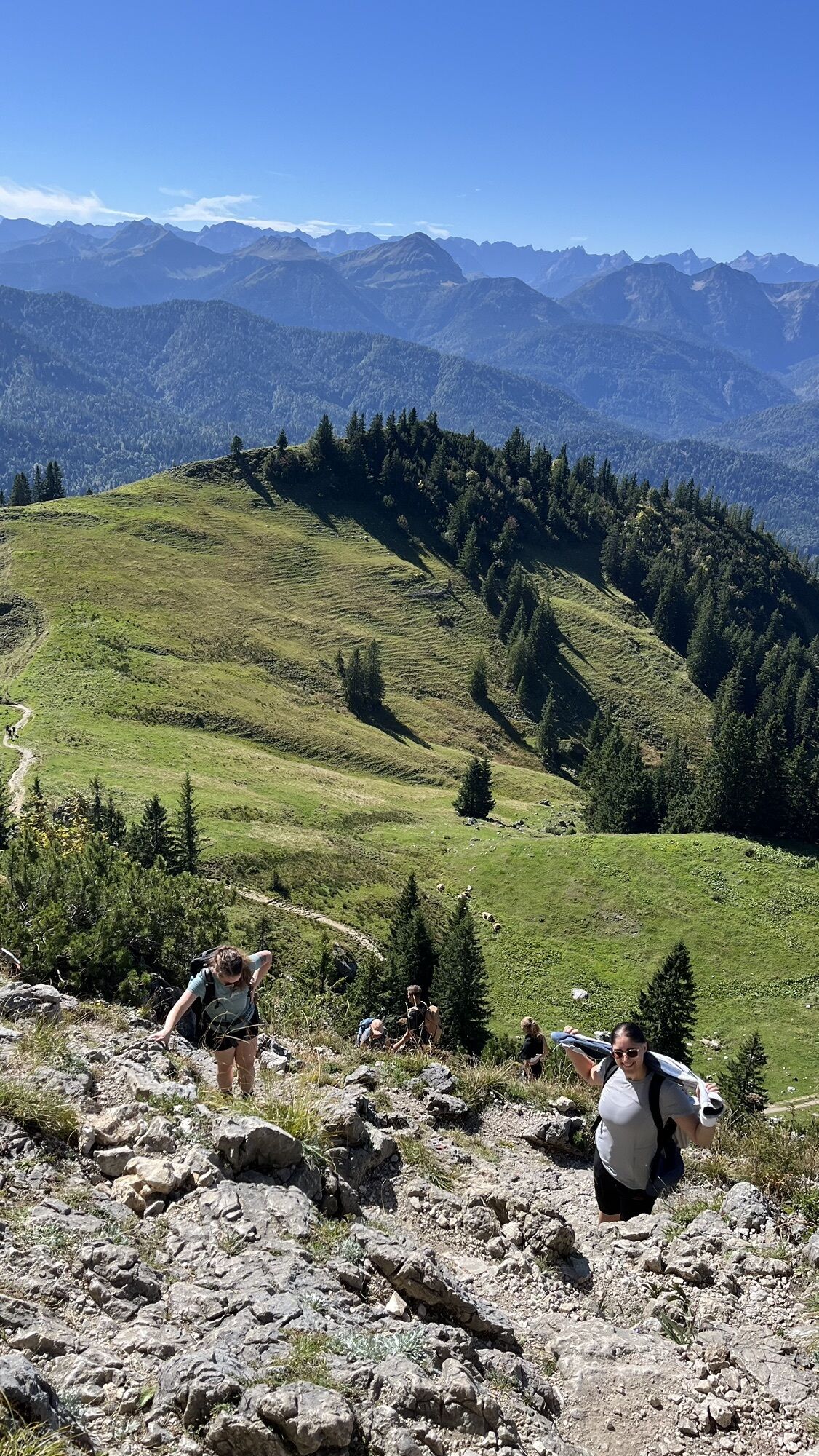
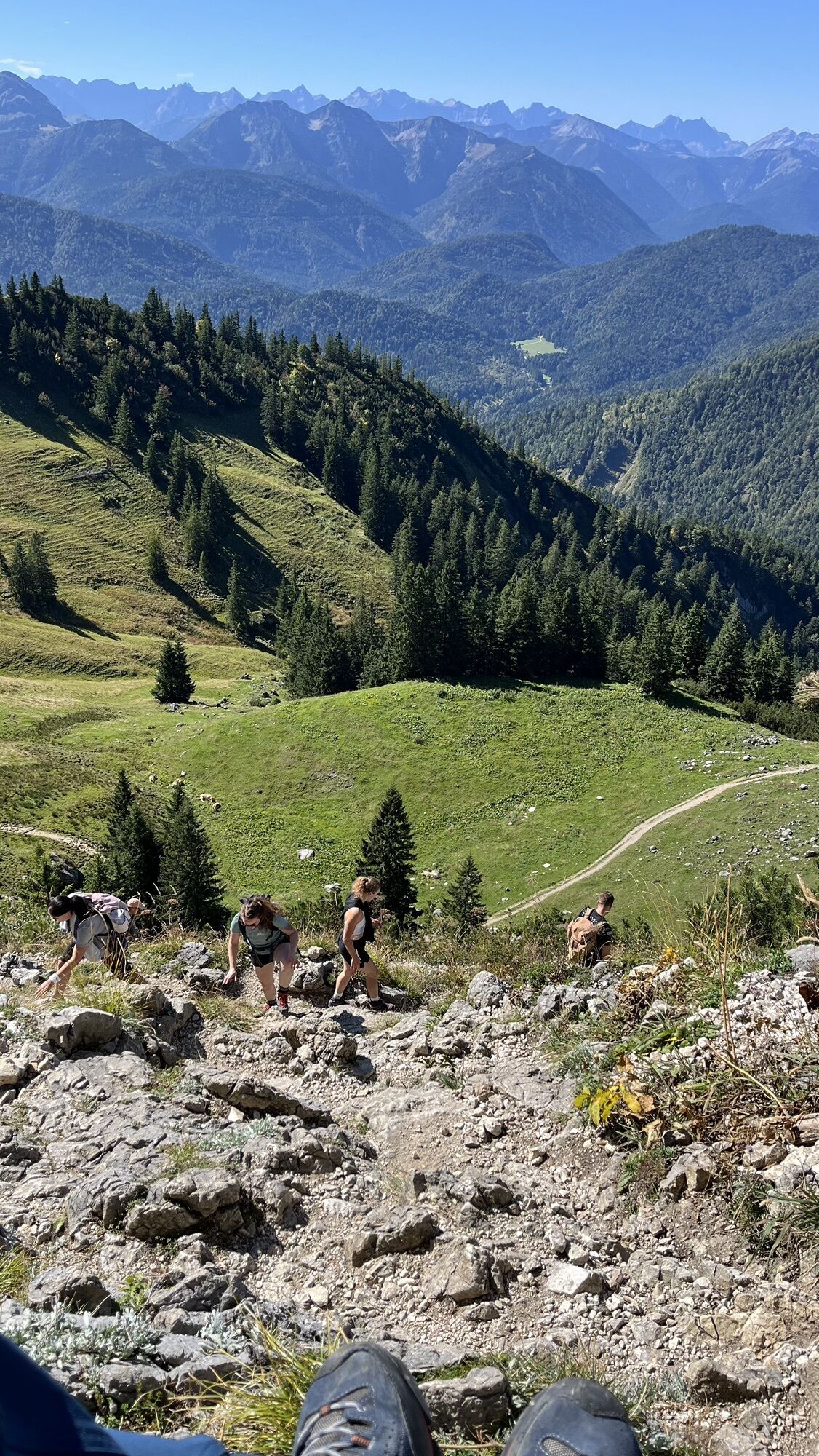
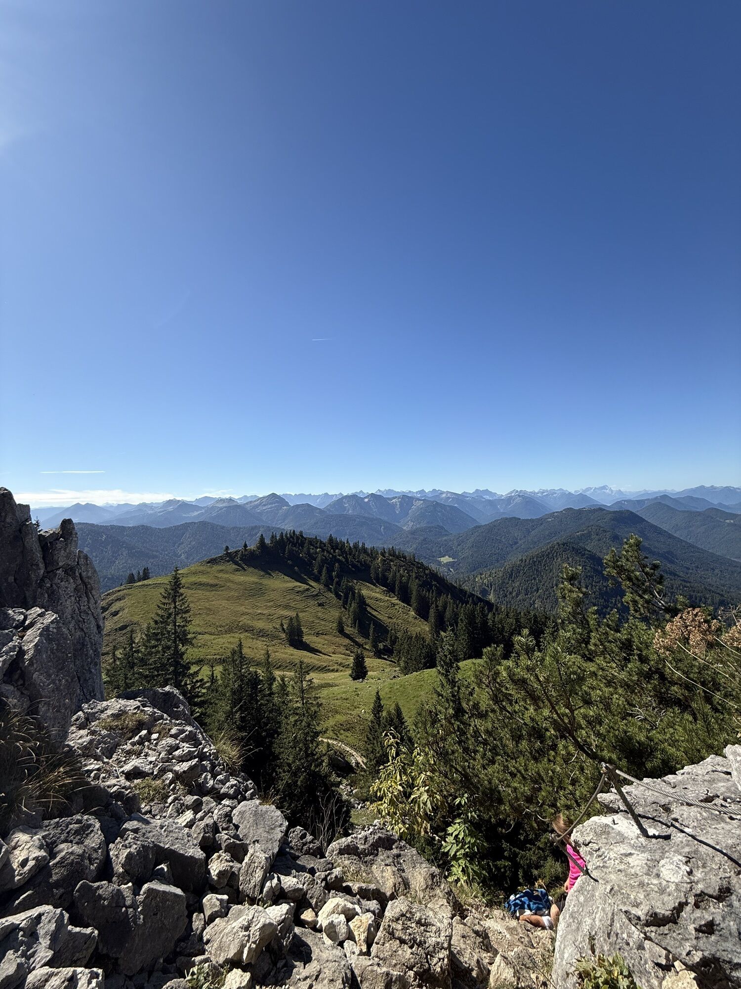
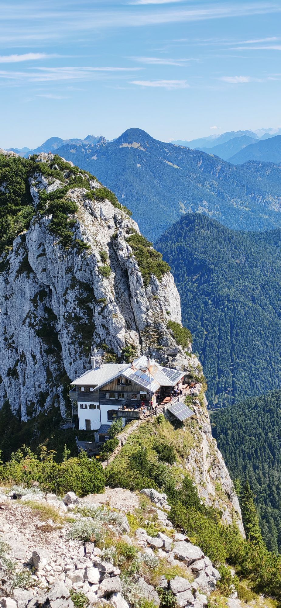
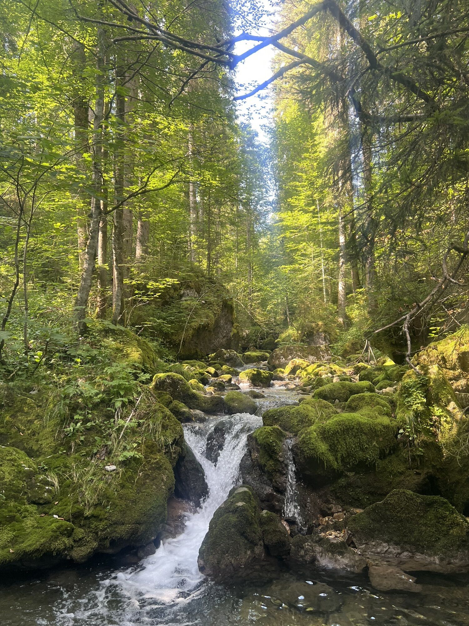
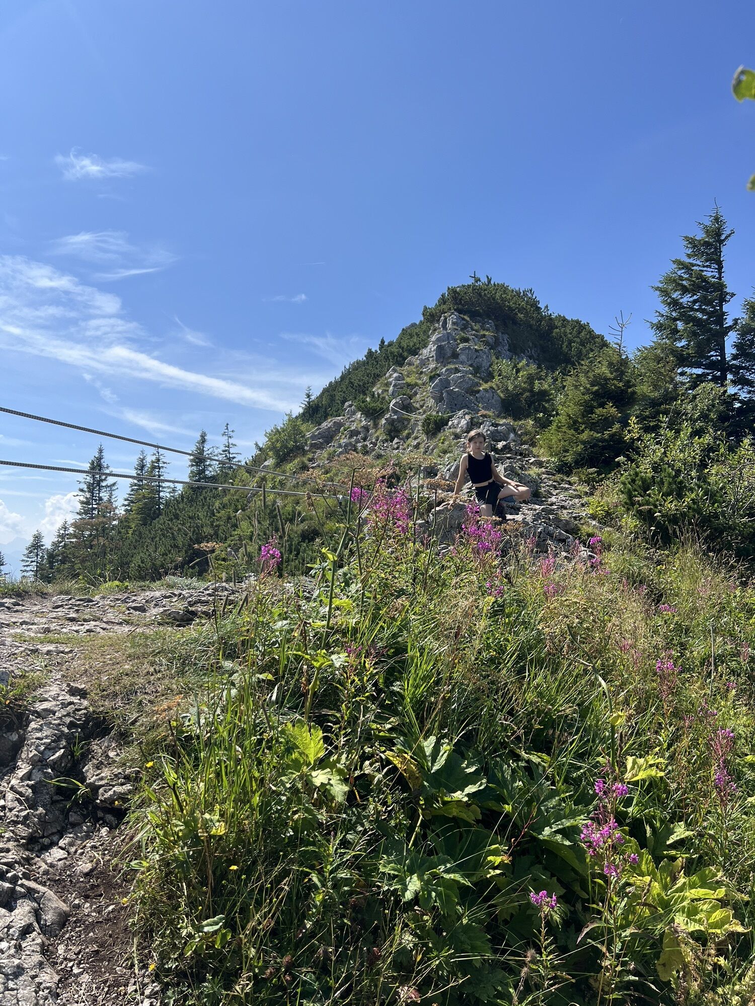
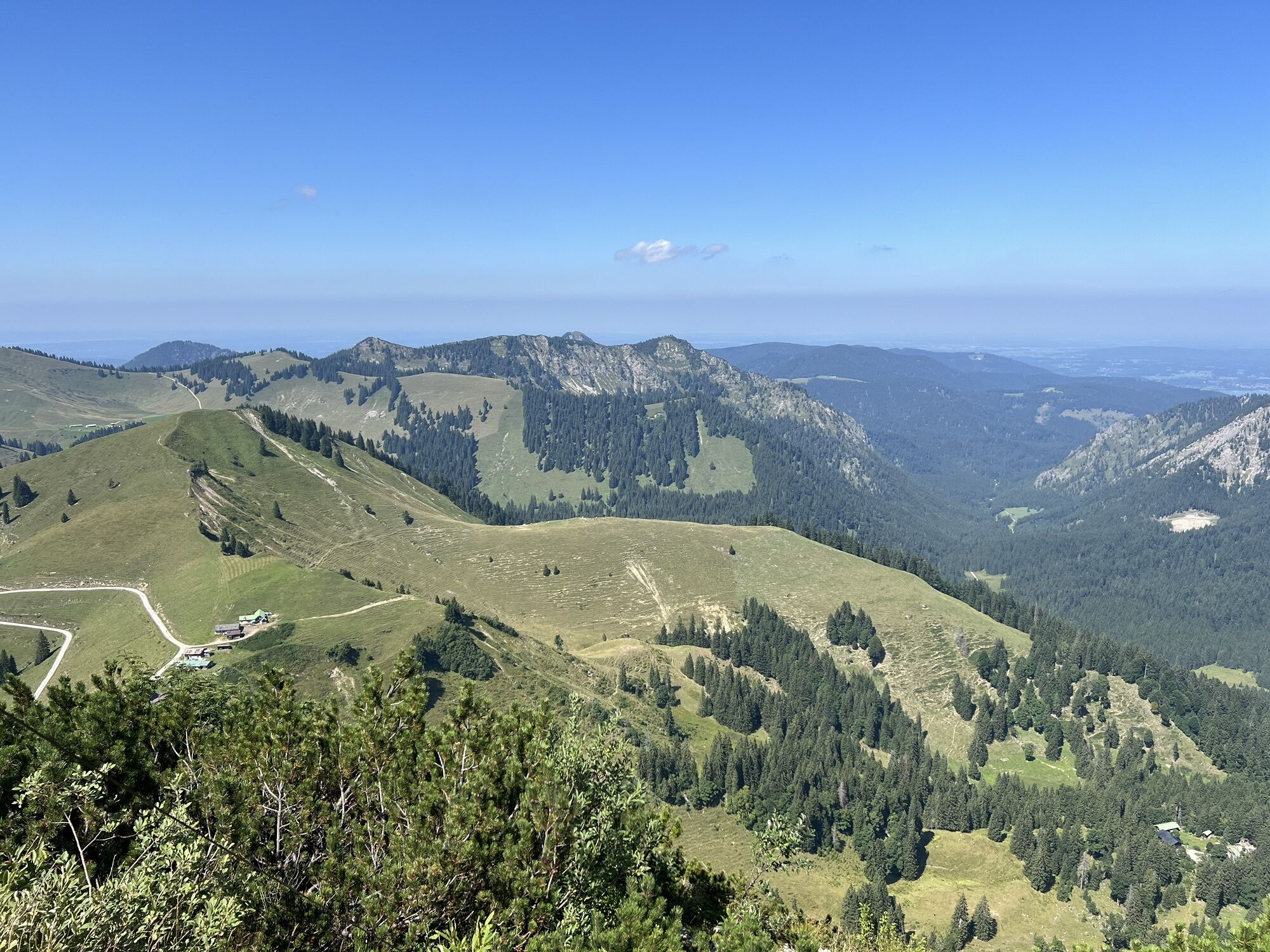

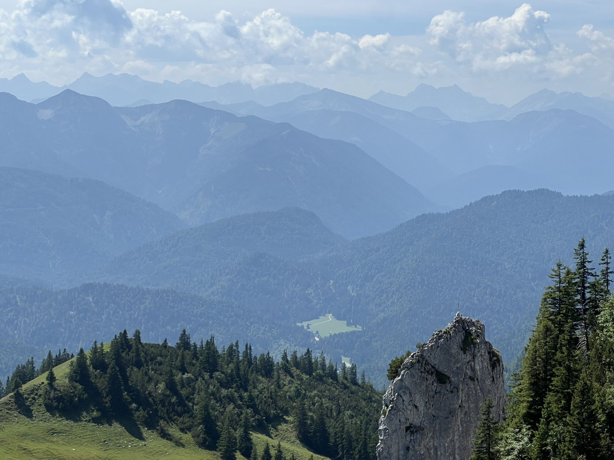
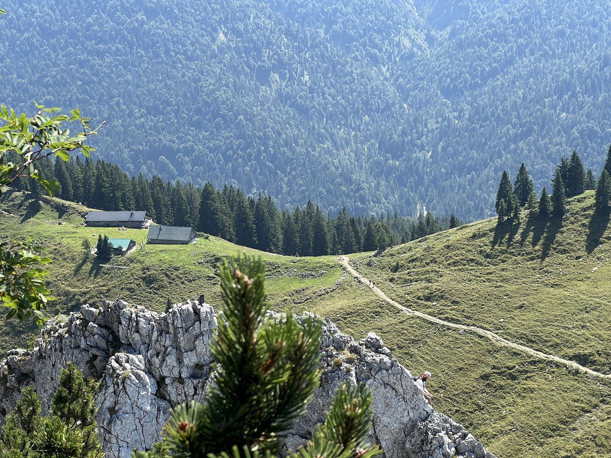

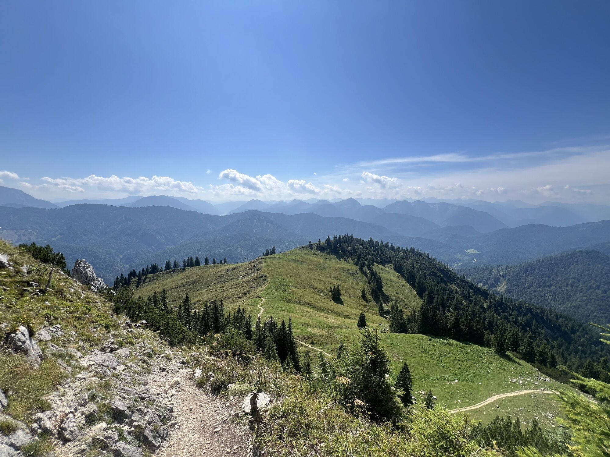
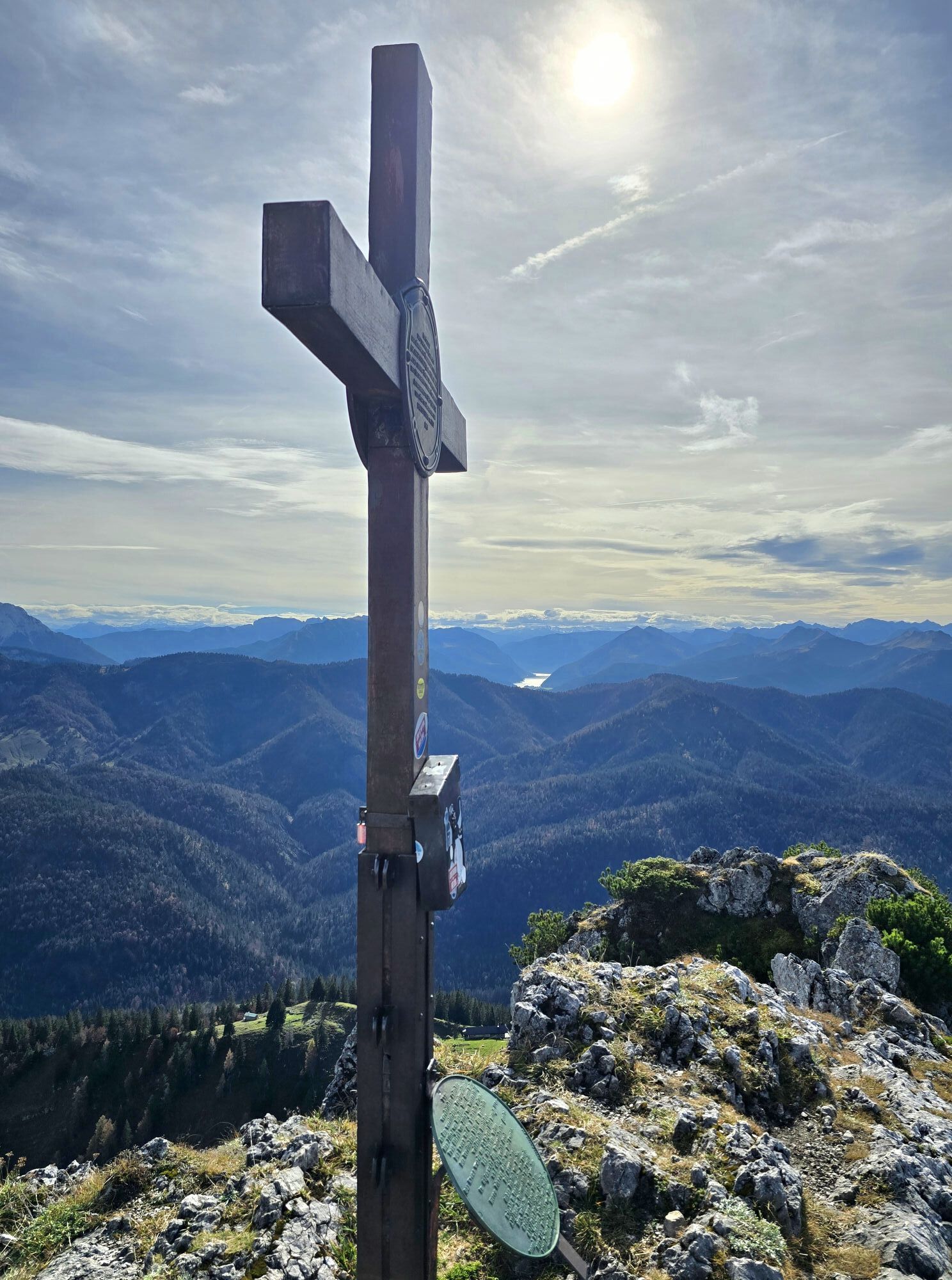
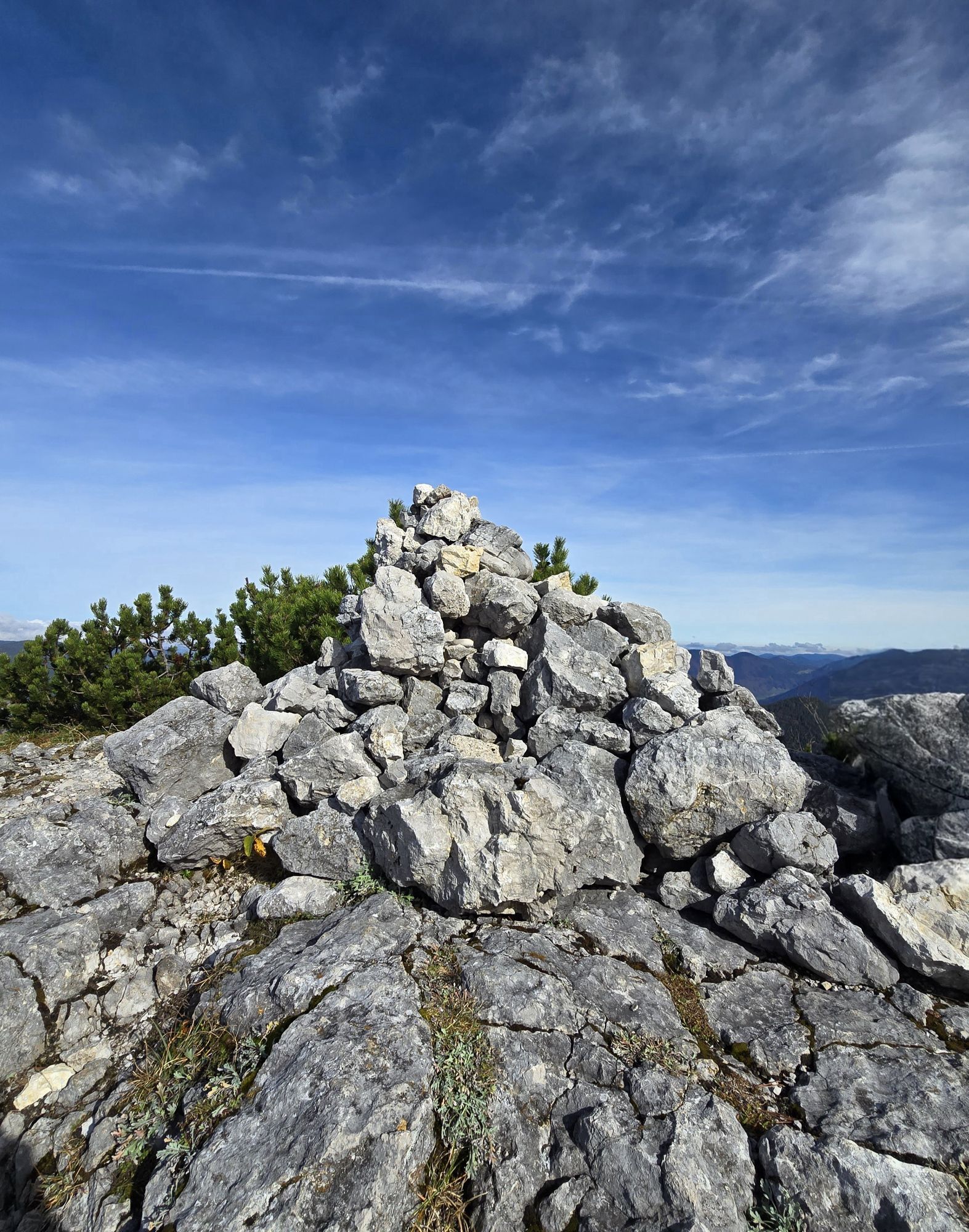
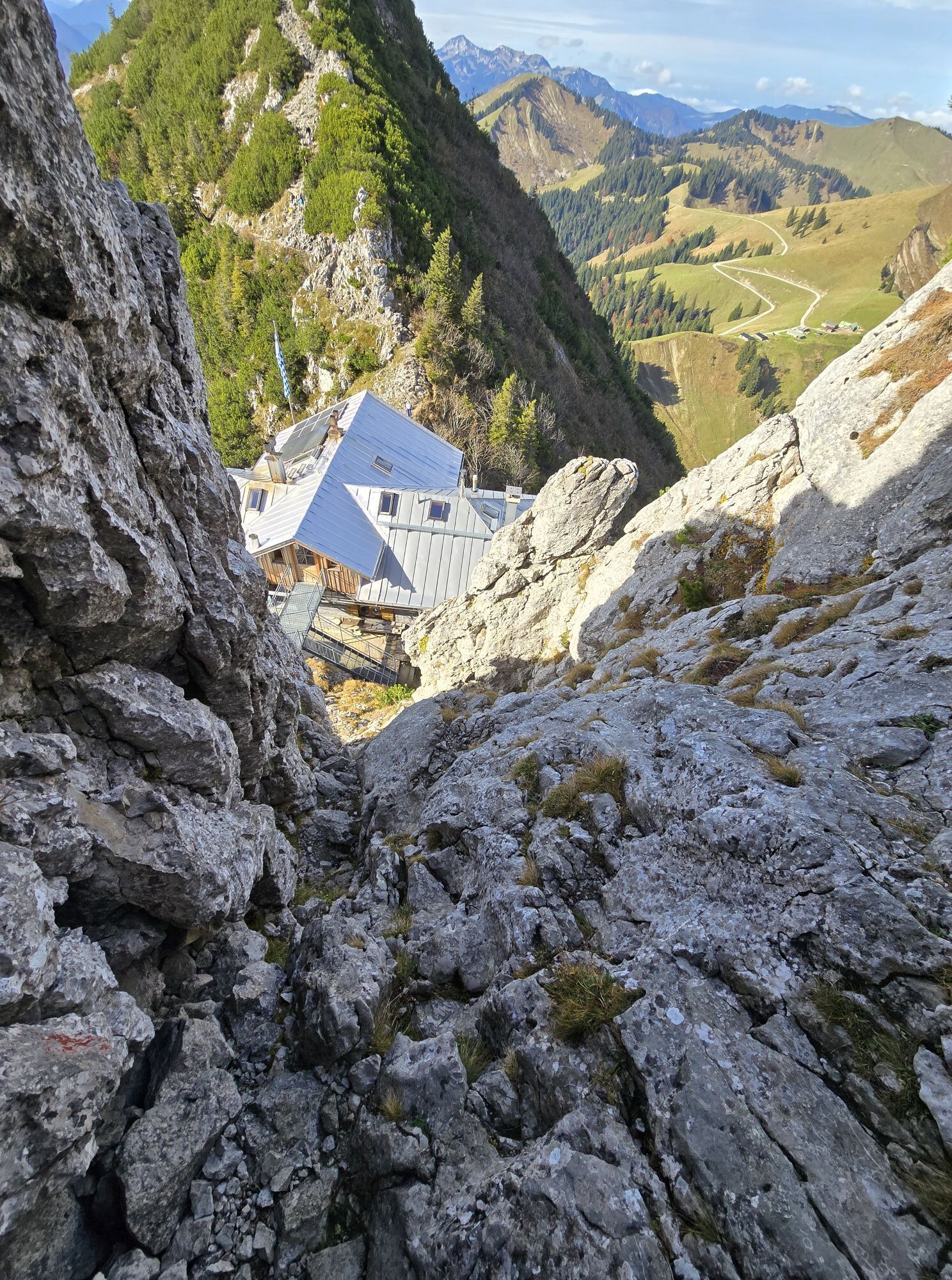
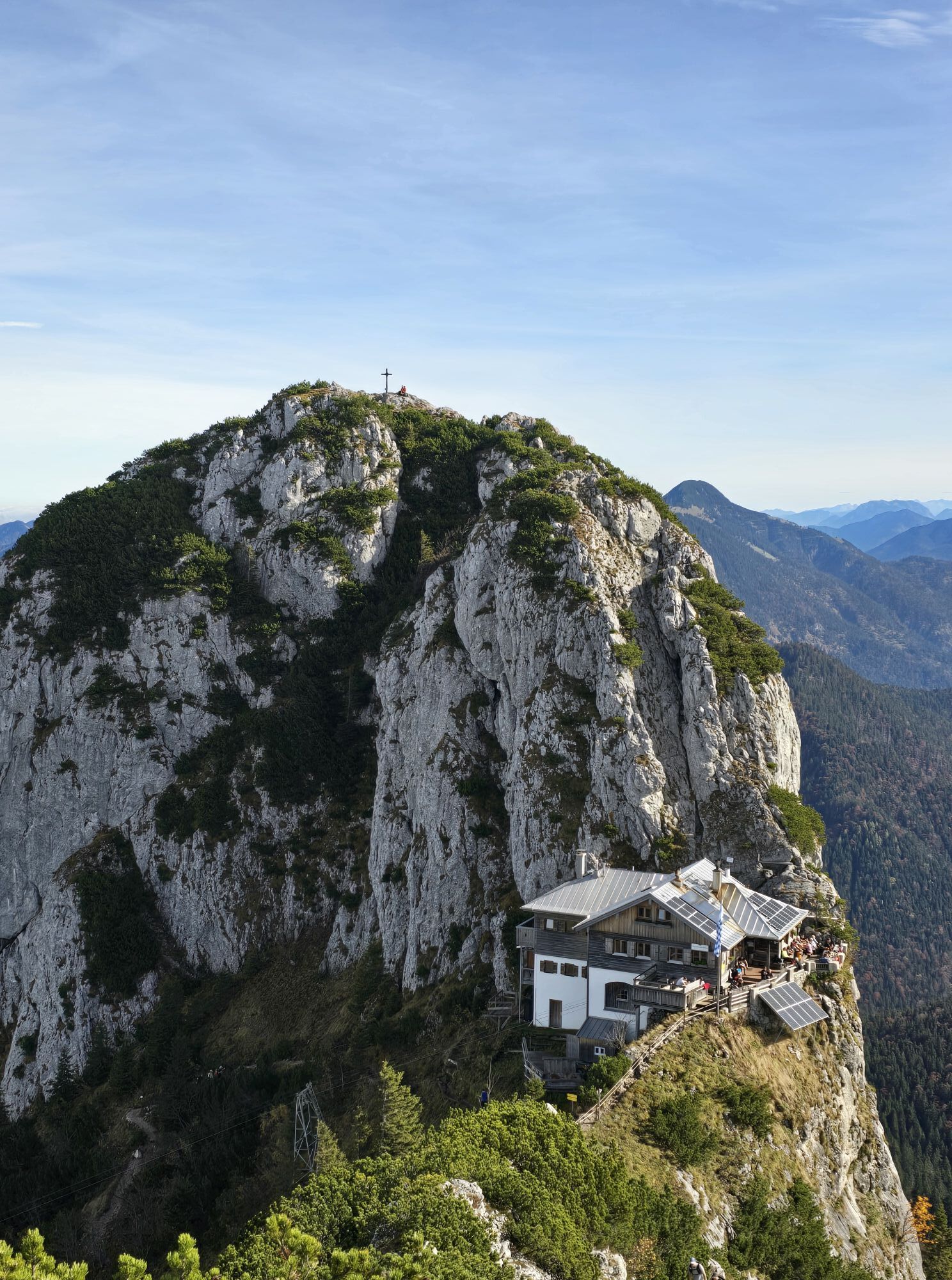
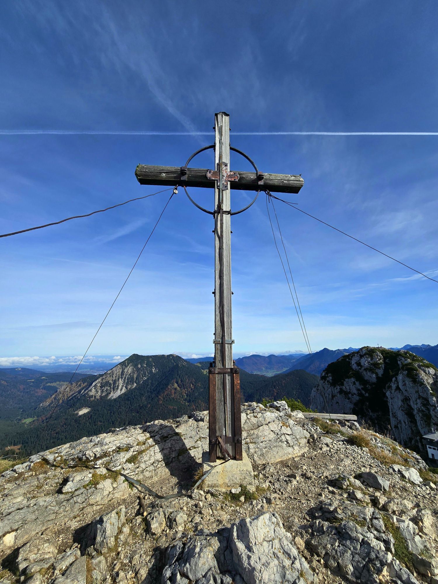
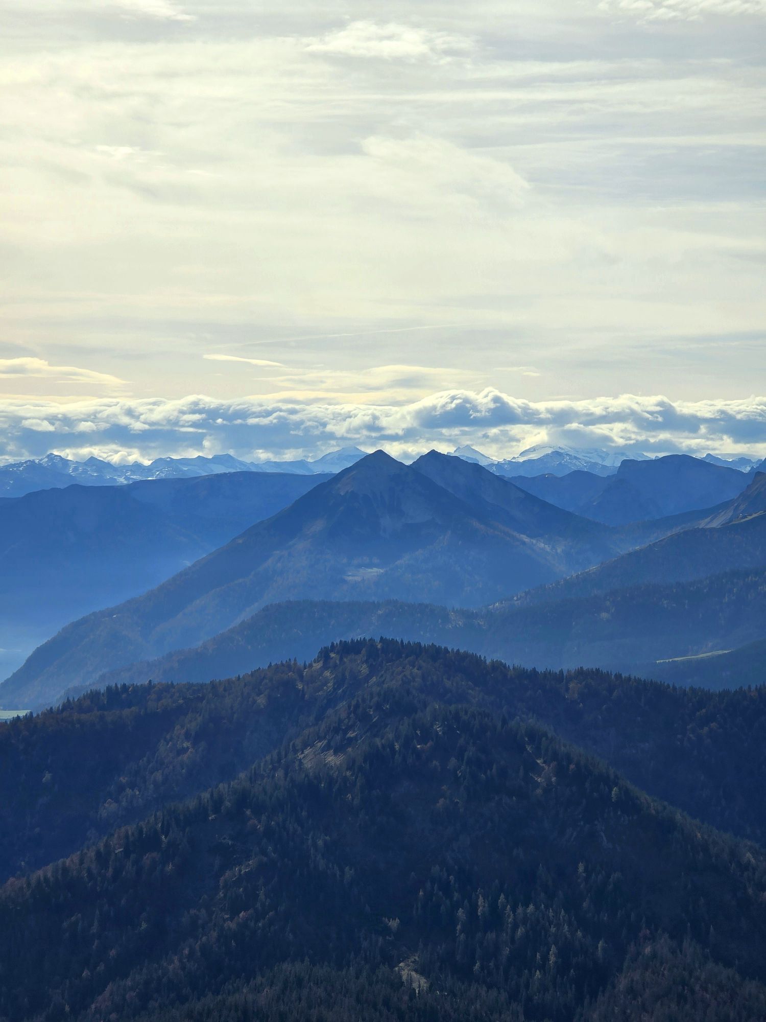
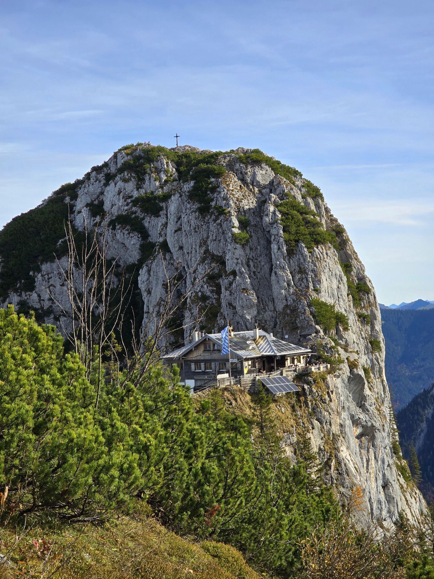
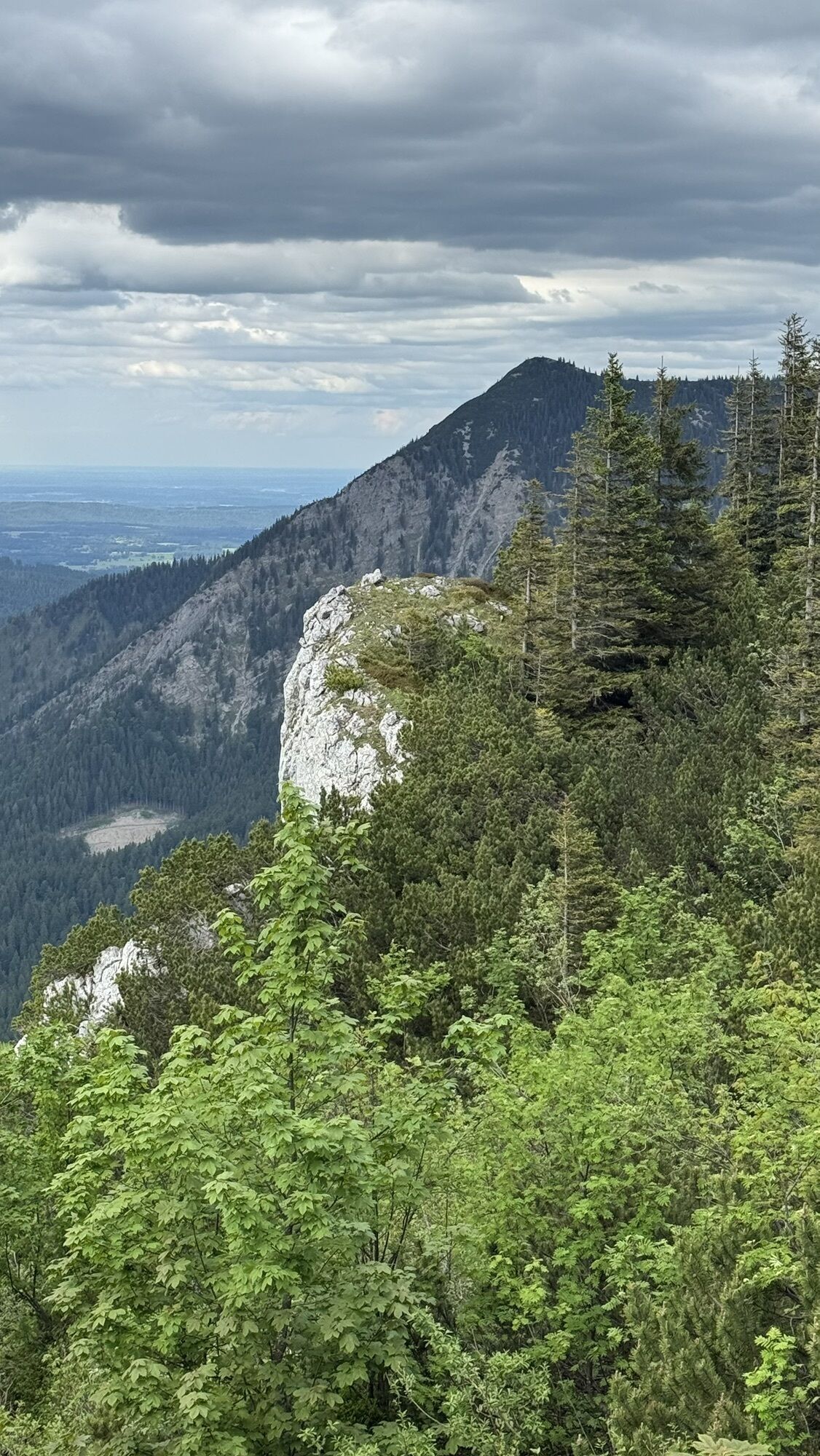
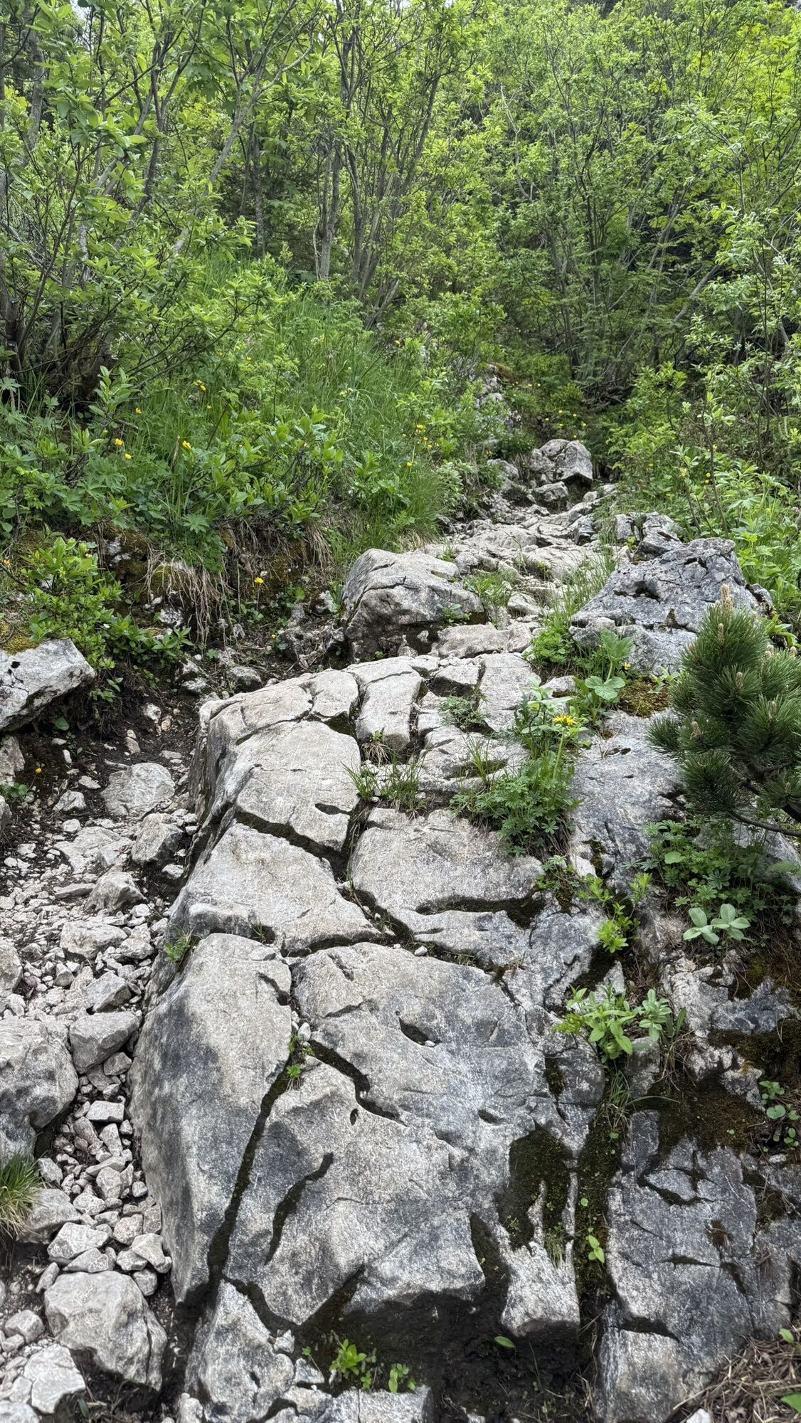
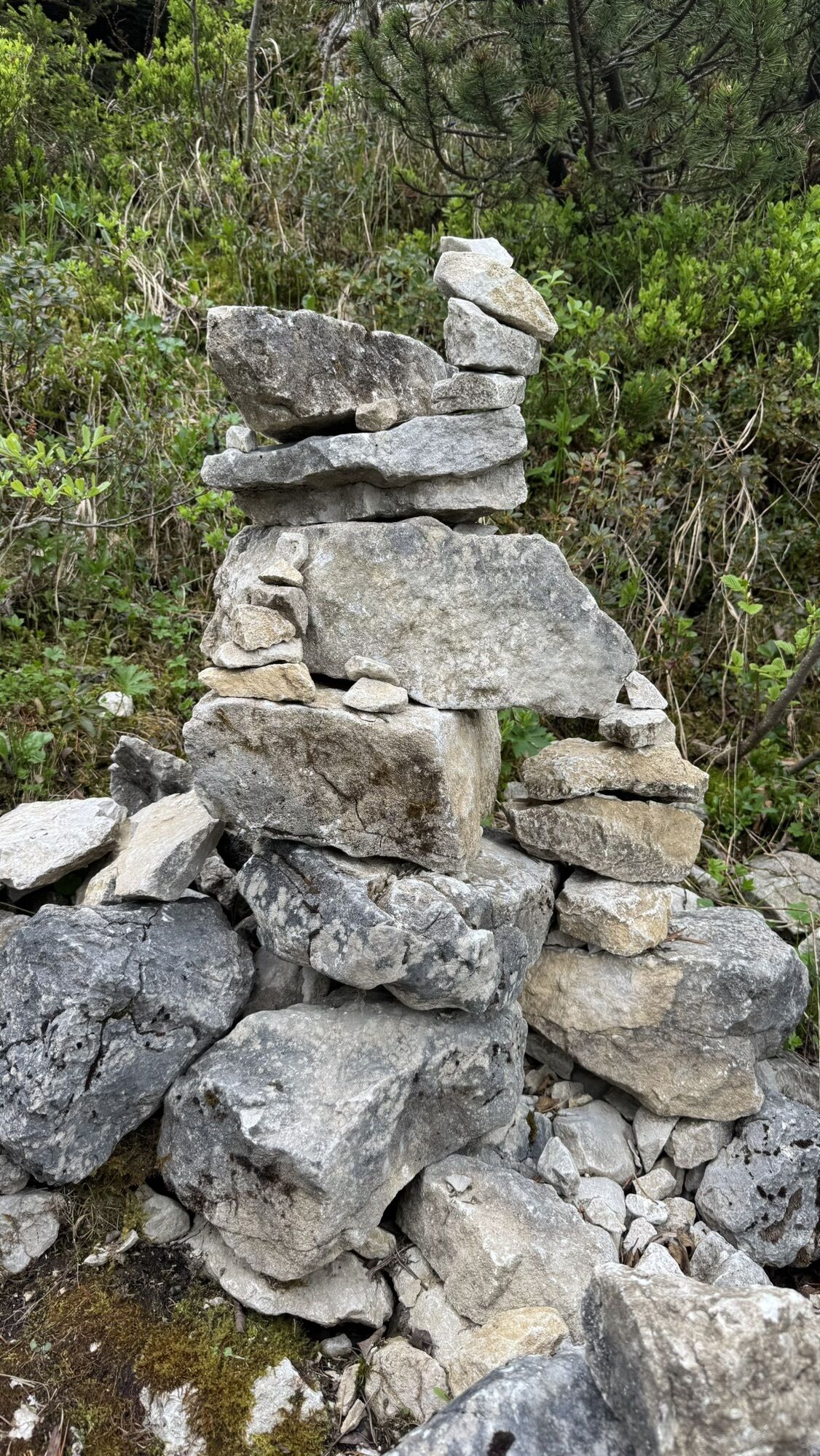
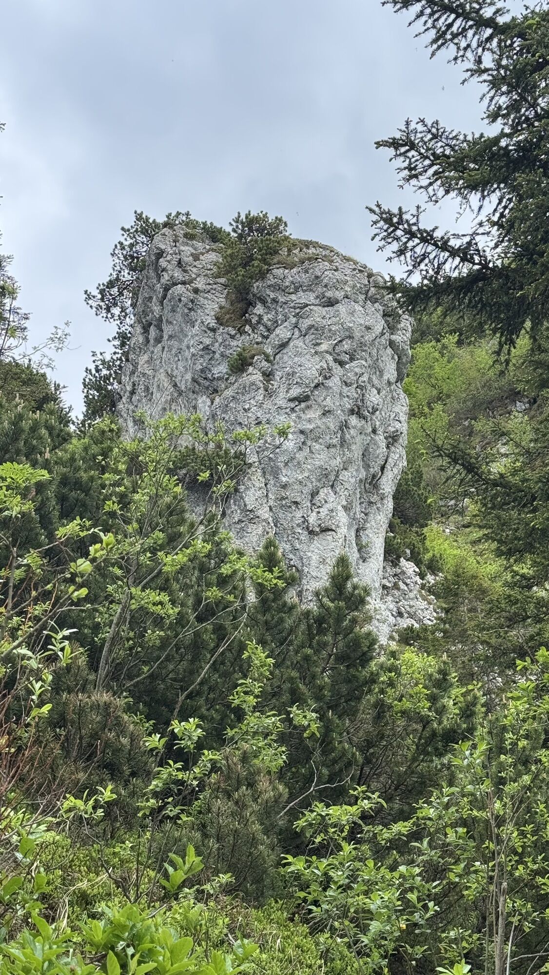
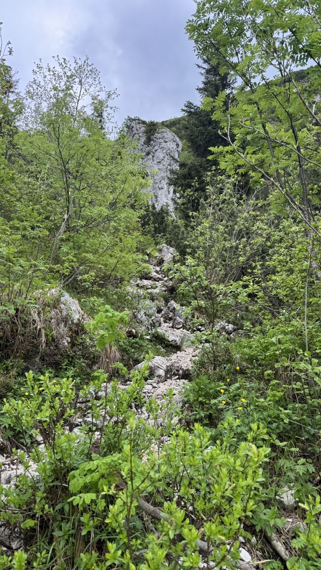
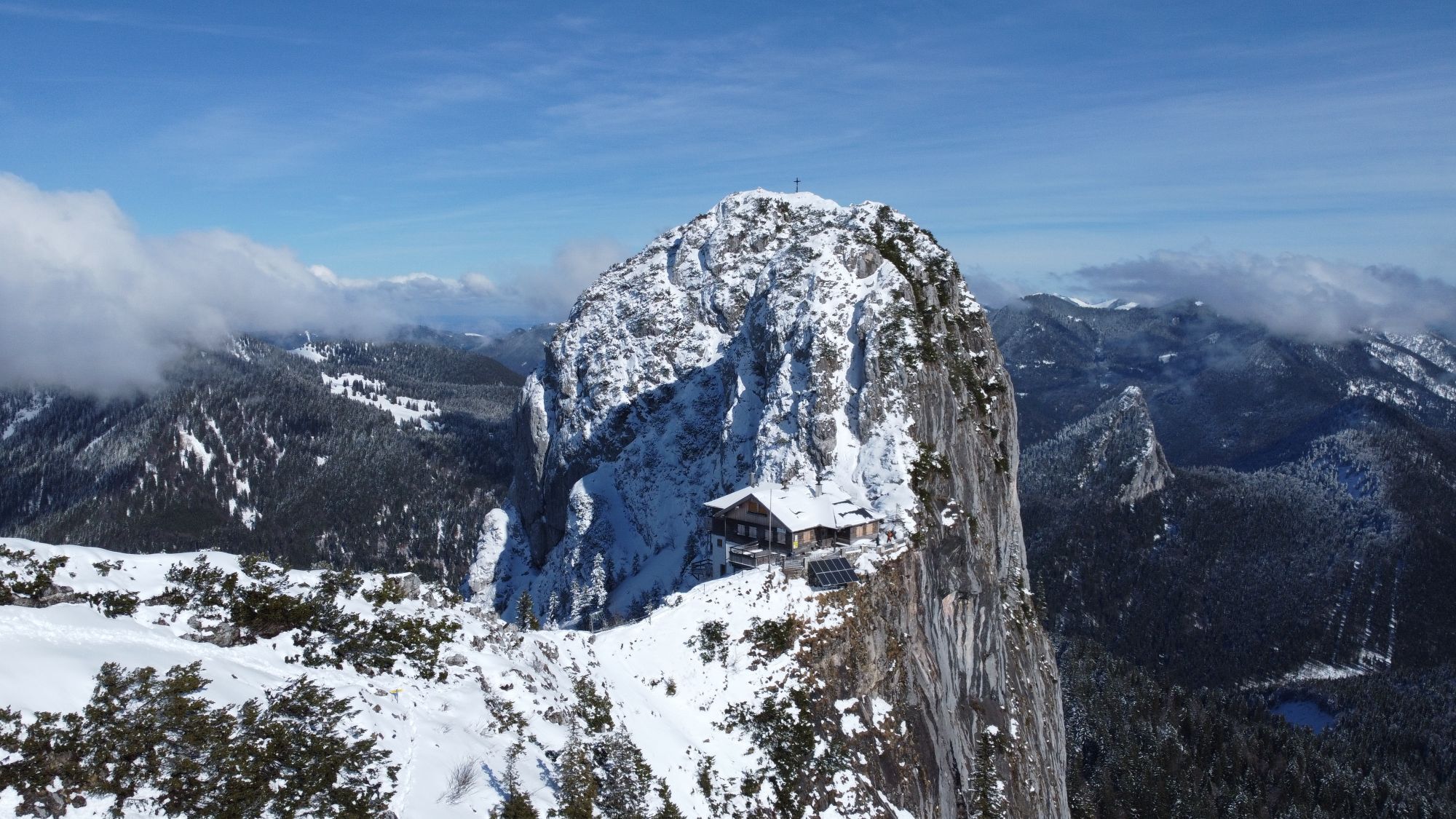
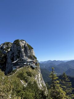
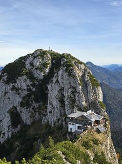
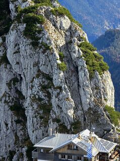
The Roß and Buchstein with the Tegernsee Hut is one of the top routes at Tegernsee.
While the steep ascent from the south at the end involves some climbing sections, the summit is much easier to reach...
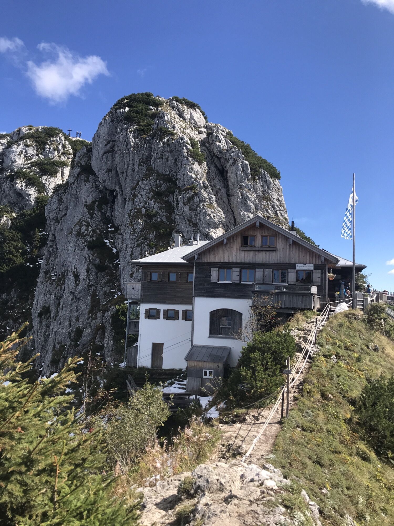
The Roß and Buchstein with the Tegernsee Hut is one of the top routes at Tegernsee.
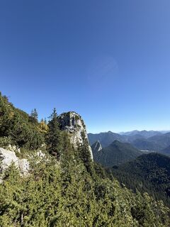
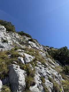
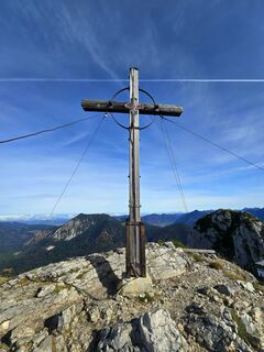
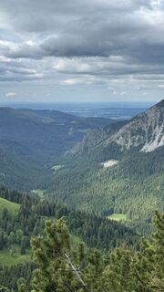
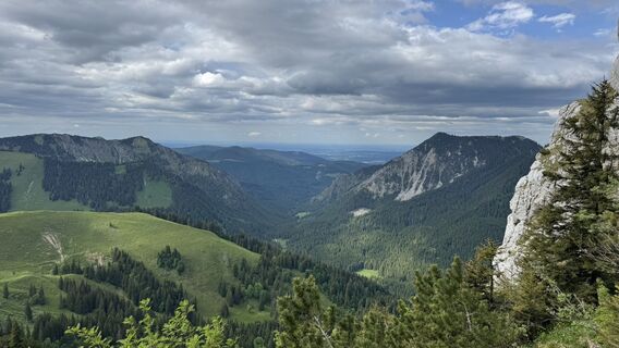
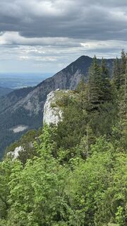
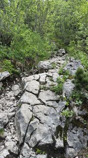
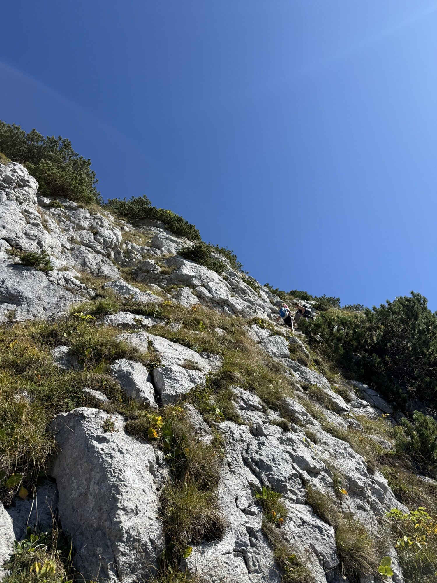
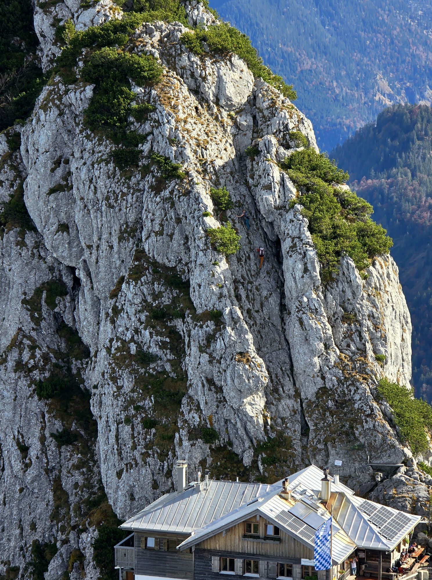
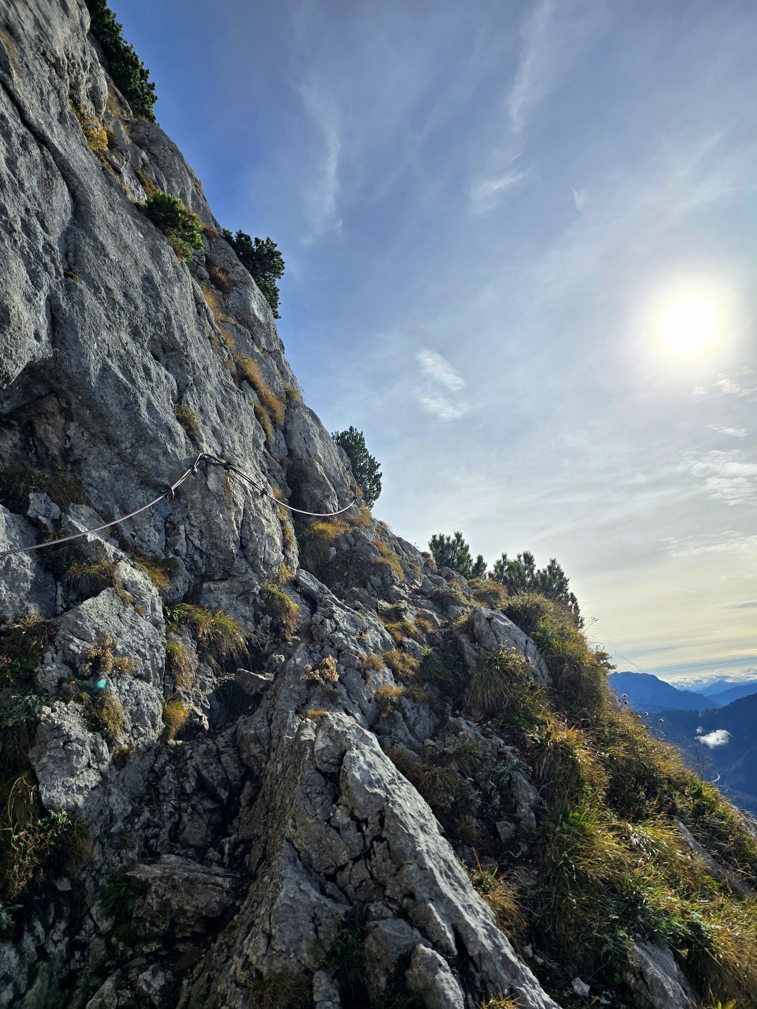
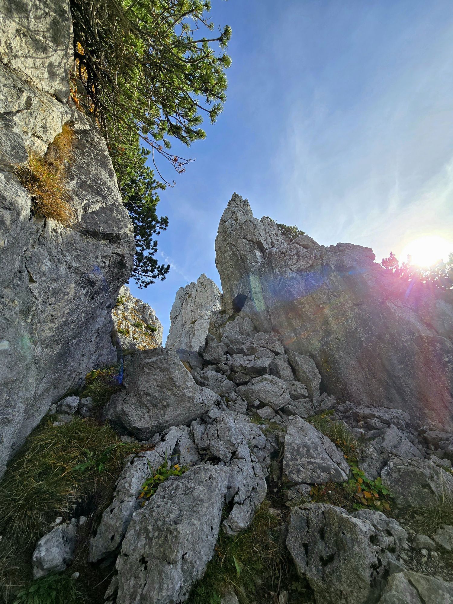
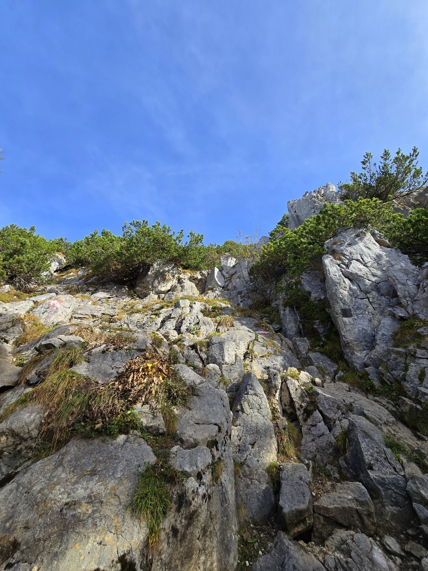
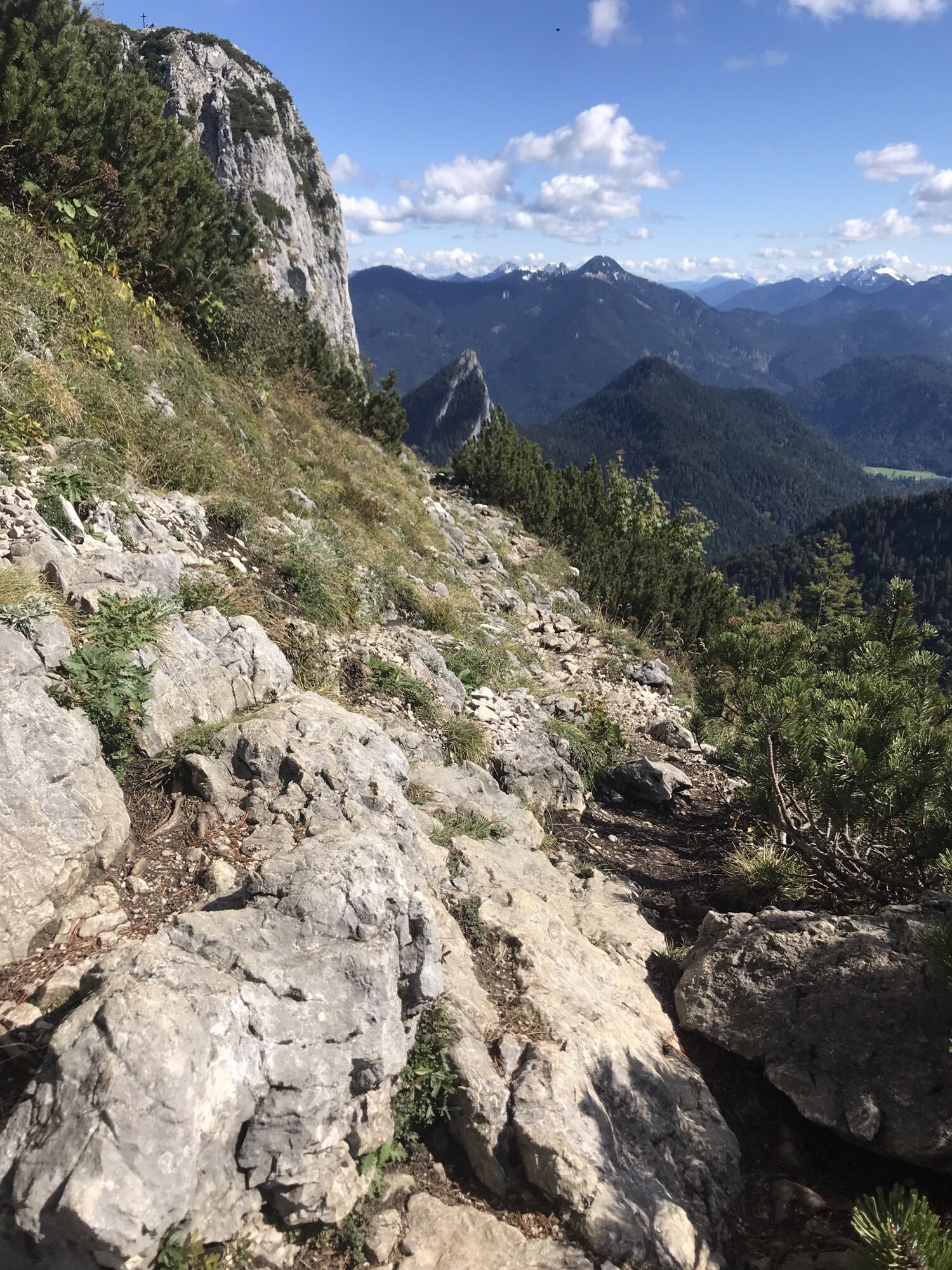
While the steep ascent from the south at the end involves some climbing sections, the summit is much easier to reach from the north. You can enjoyably shorten the route by combining MTB and mountain tour. For this, you take the forest road with the MTB to the Buchstein Hut (approx. 1 - 1.5 hrs). Then you leave your bike and complete the rest of the route to the summit and the Tegernsee Hut on foot. The Roßstein can now be relatively easily ascended, whereas the short summit climb to Buchstein goes far beyond the requirements of a mountain hike. Some climbing skills (UIAA grade III) are already required here.

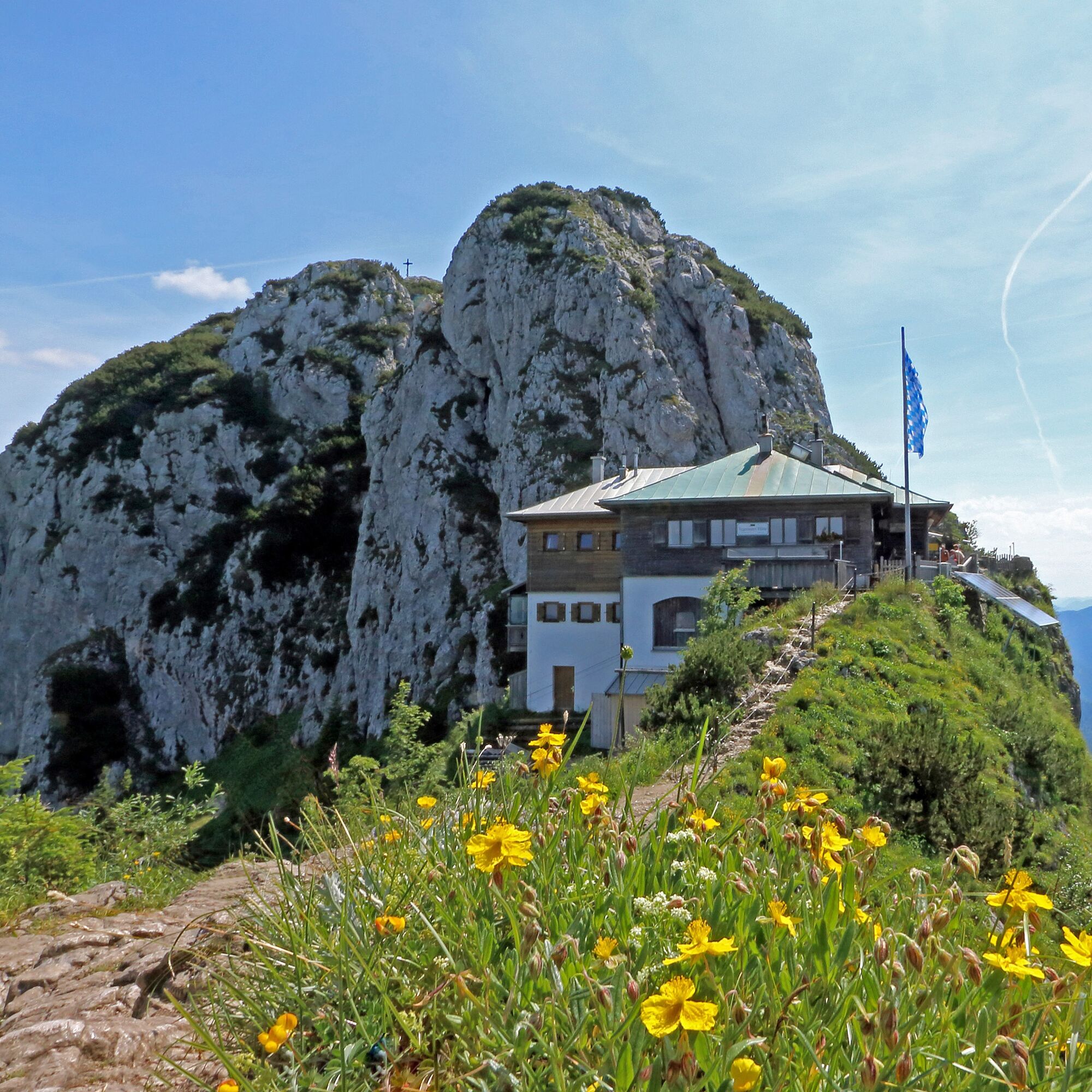
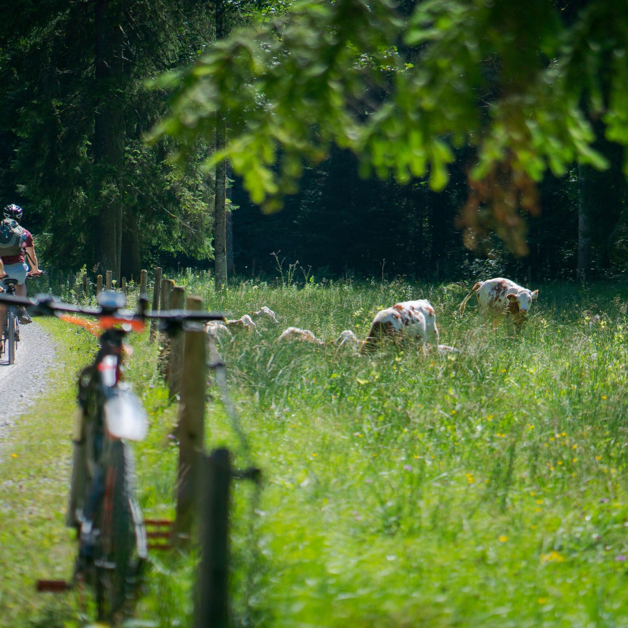
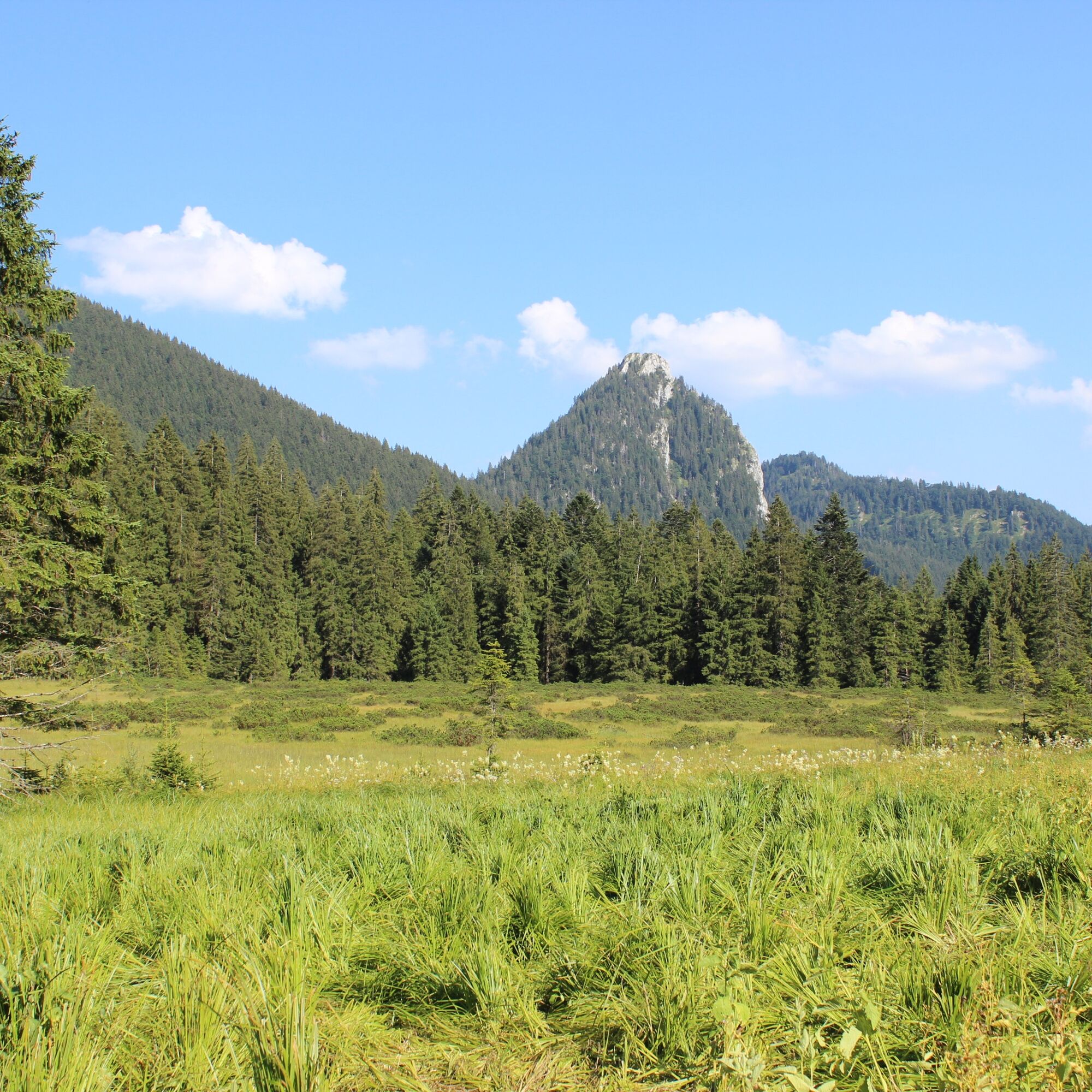

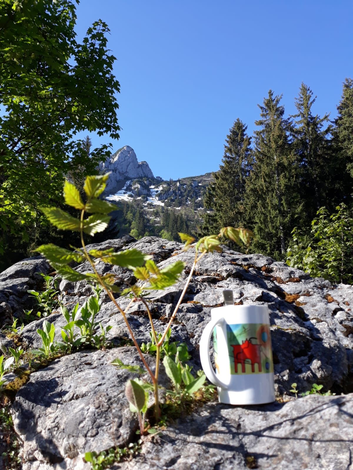
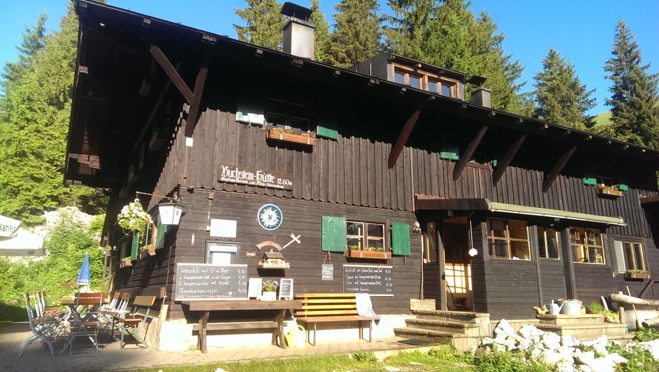
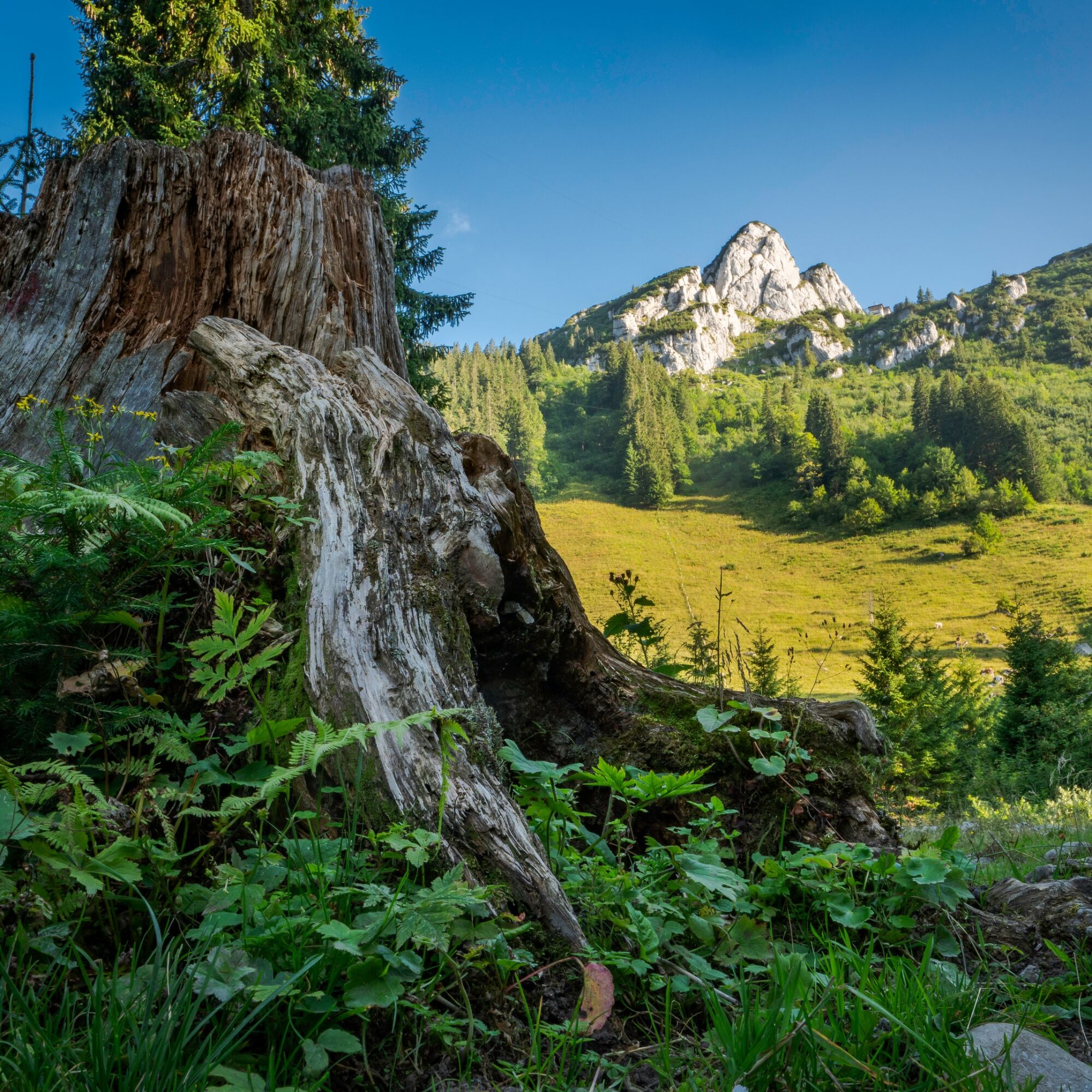
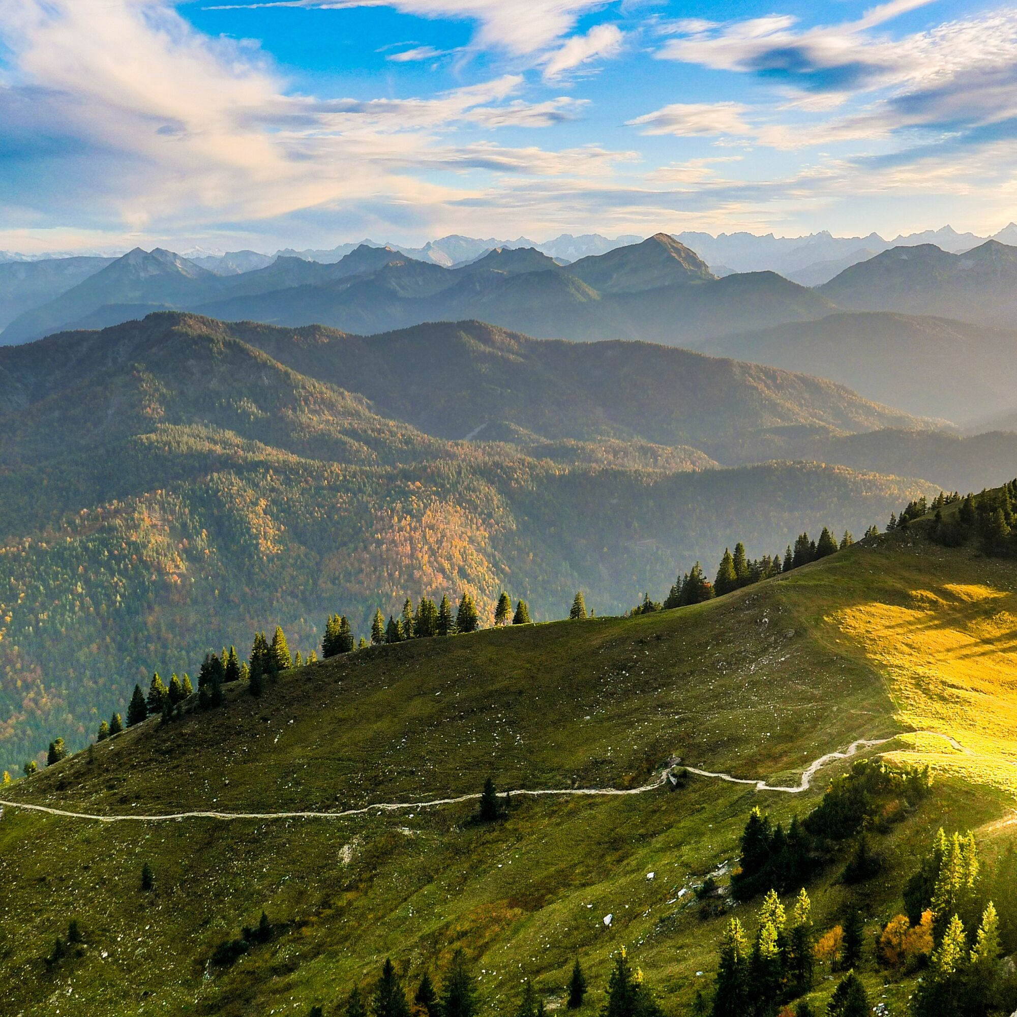
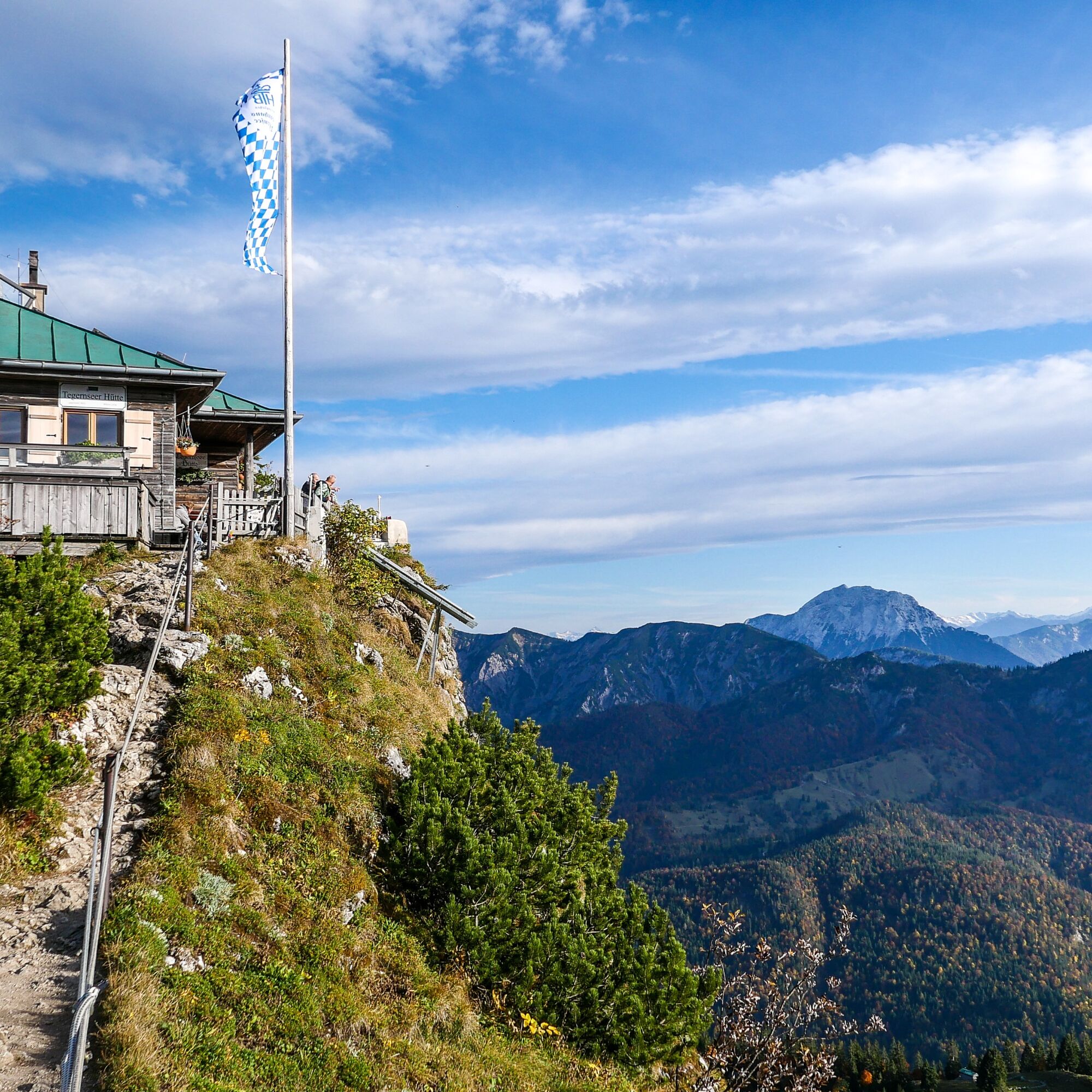
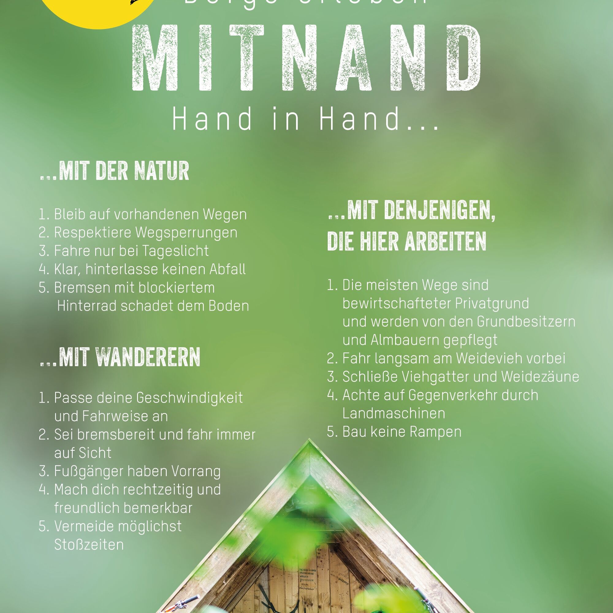

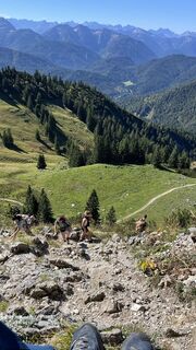
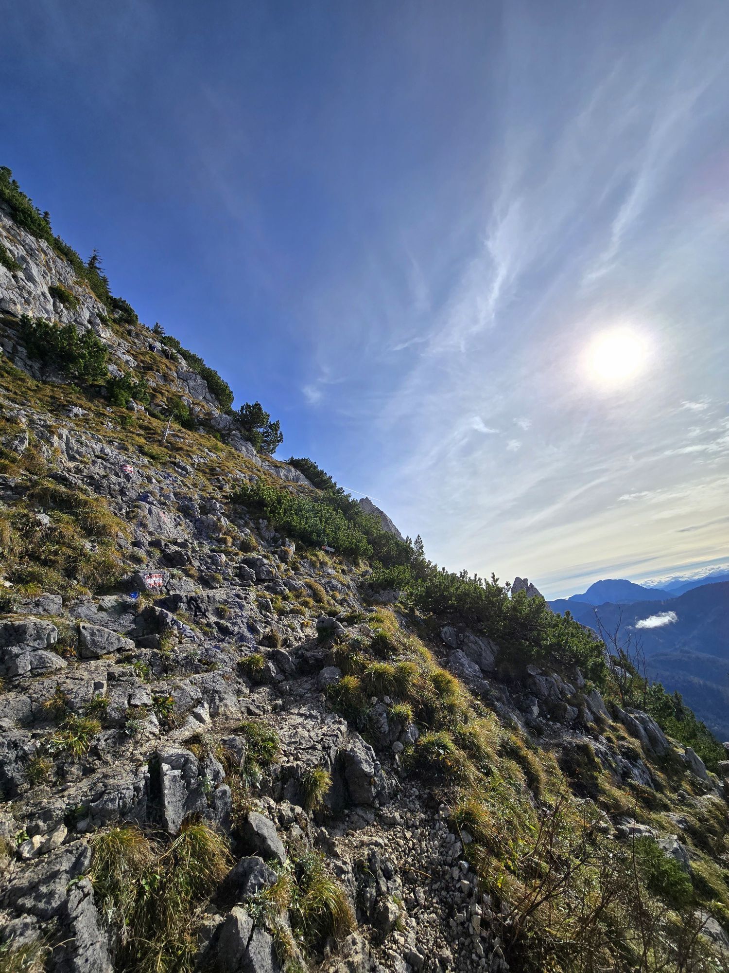
From the starting point of the route, we follow the forest road (trail 604) until shortly before the Schwarzentenn Alm. Now a road branches off to the left to the Buchstein Hut (trail 609). We reach the Buchstein Hut after about one hour (approx. 6 km, 440 m altitude gain). Here we leave the bike, stop briefly, and continue on foot on trail 609. After about 1 hour (2 km, 335 m altitude gain) we reach the Tegernsee Hut and the Roßstein. The return route is via the outbound path. Please make sure to stay with your MTB on the forest road and do not ride on the footpath, which runs parallel on the other side of the Schwarzenbach to the Klamm-Winterstube parking lot. But even on the forest road, consideration for hikers should be taken so that everyone can enjoy their mountain experience.
Ano
Ano
Functional MTB, sturdy footwear as well as weather-appropriate clothing, possibly rain jacket, drinking bottle, first aid kit.
All information without guarantee. Walking and riding on the described routes is done at your own risk. This route is not suitable for a winter hike. Please make sure to inform yourself about the snow and avalanche situation in that case.
A8 to Holzkirchen exit, via B318 and B307 to Kreuth.
Arrival is possible by bicycle and the Bavarian Regiobahn to the Tegernsee train station.
From Tegernsee with the MTB to Rottach-Egern. From there along the Weißach through the Weißachau nature reserve to the starting point of the route.
Paid parking lot Kreuth-Klamm.
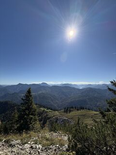
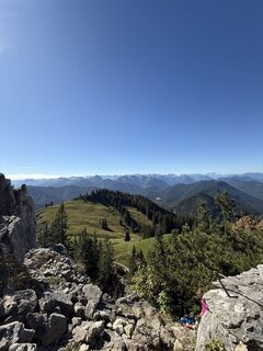
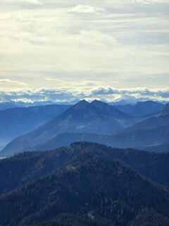
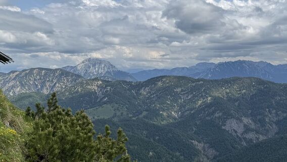
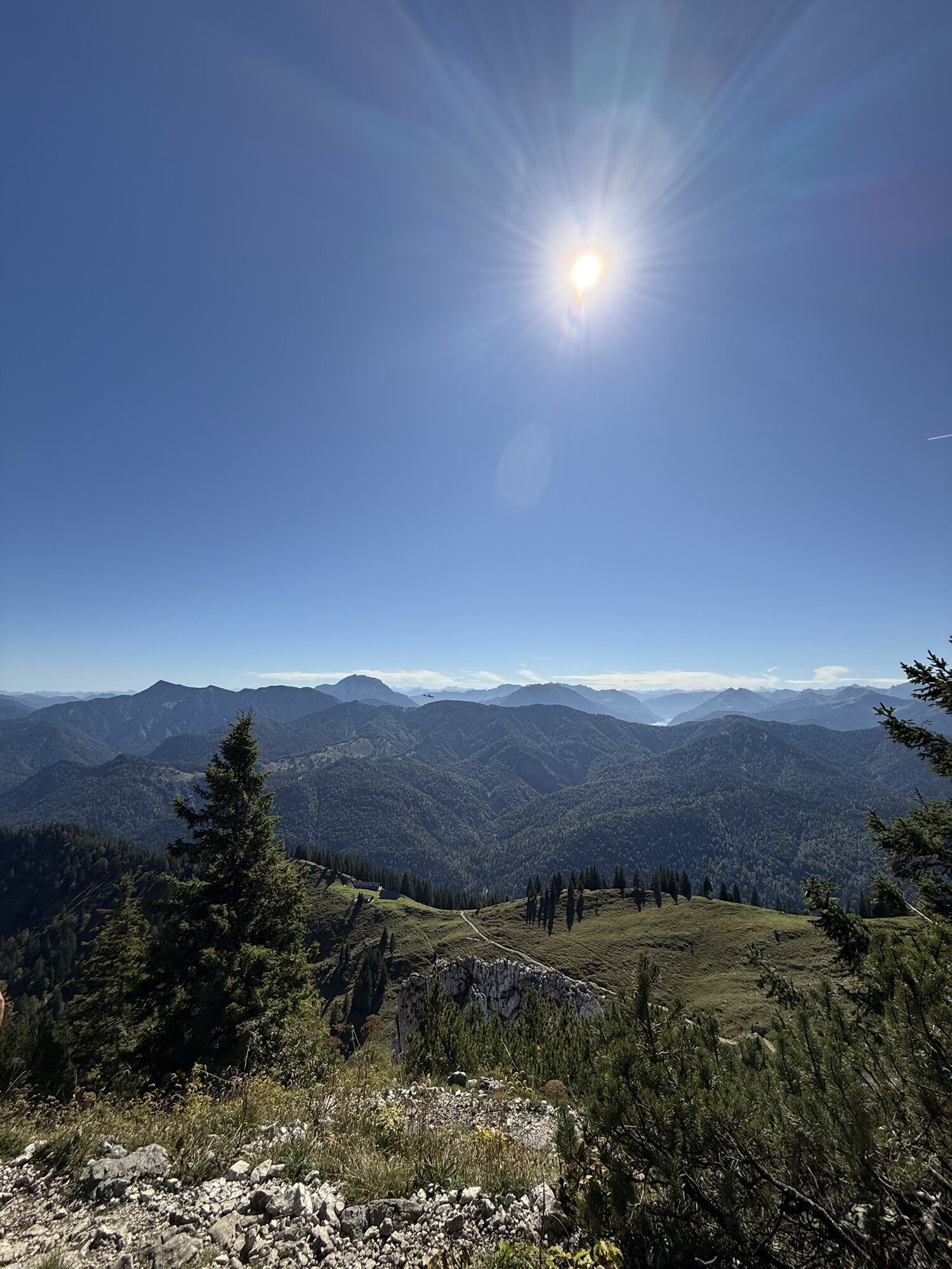
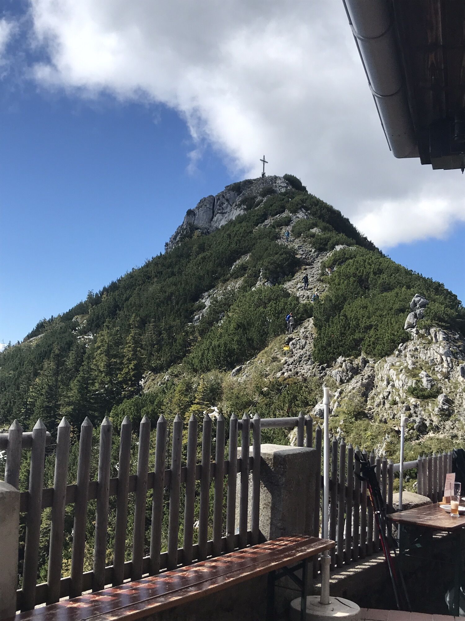
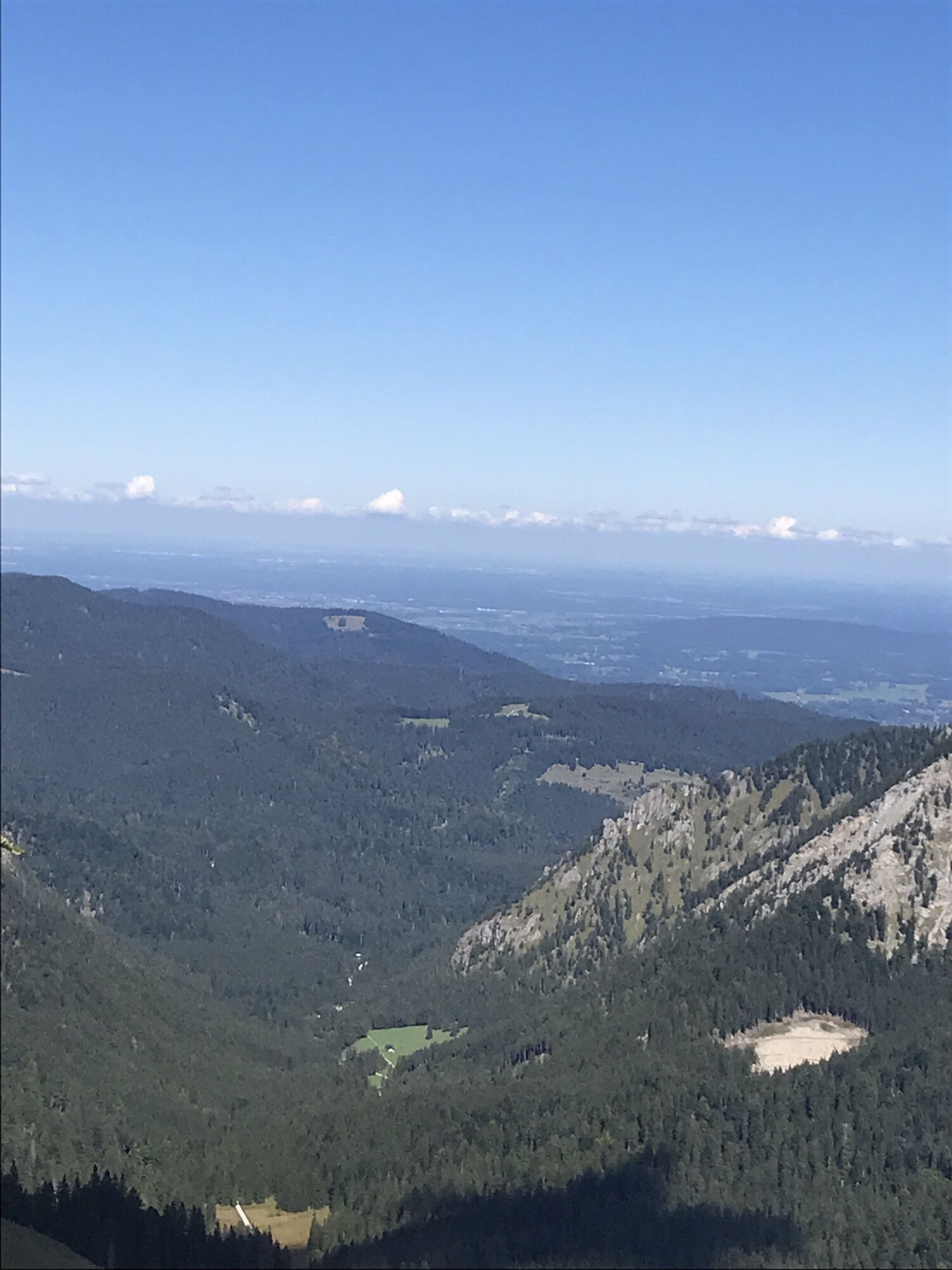
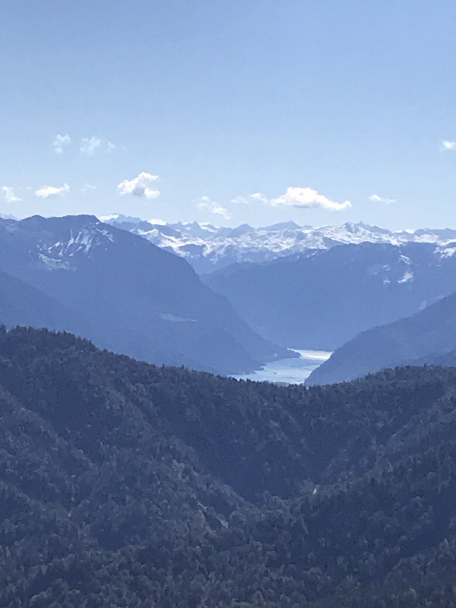
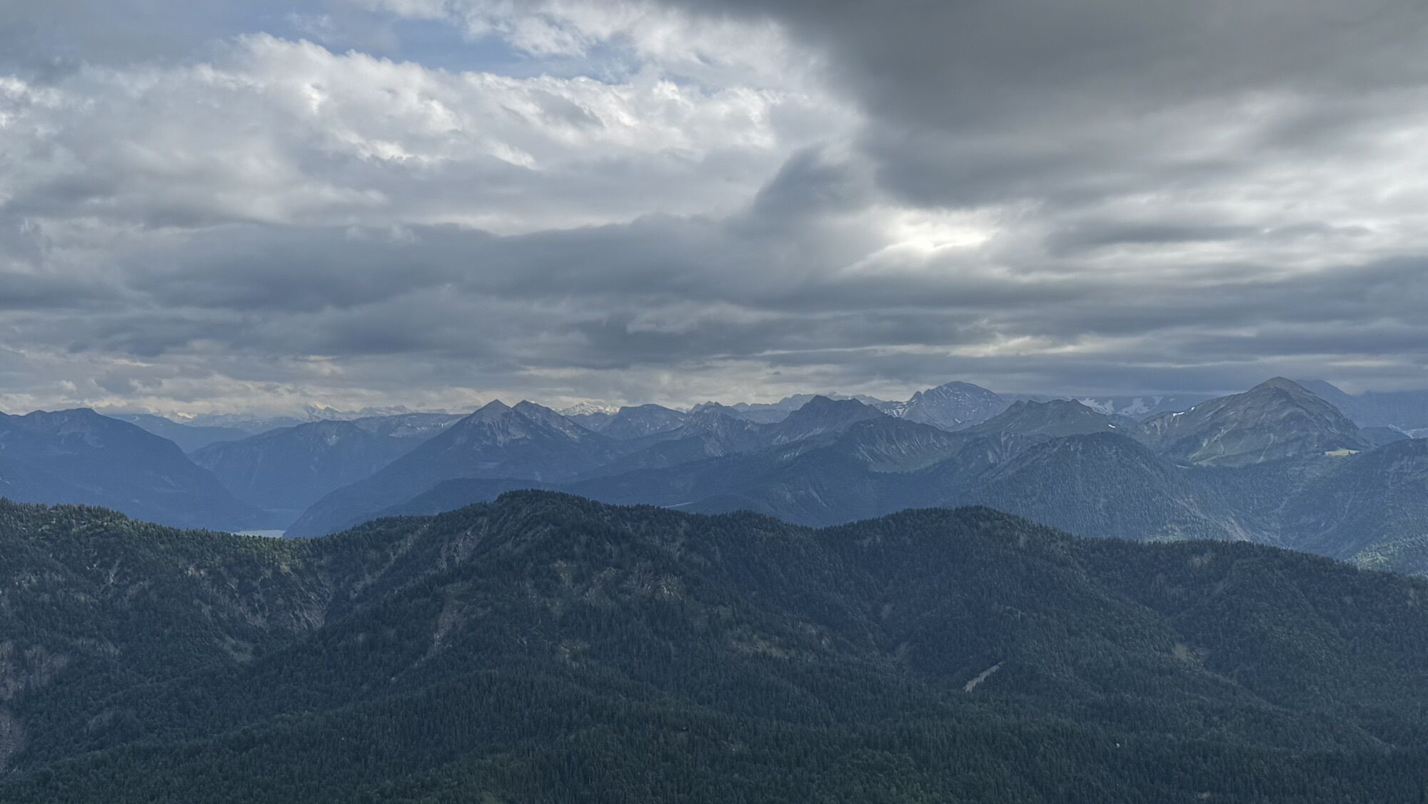
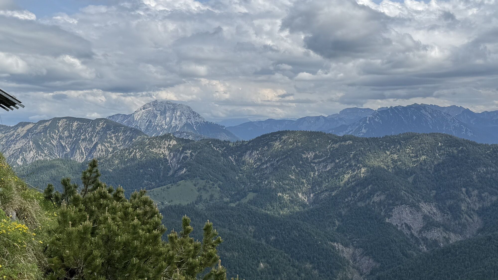
The terrace of the Tegernsee Hut and the summit offer panoramic views up to the main Alpine ridge, over the entire Karwendel, and even to the Zugspitze.
Získejte přehled Vždy živě na místě s více než 9 500 webkamerami. bergfex Jako uživatel Pro si nyní můžete zobrazit odpovídající webové kamery pro mnoho prohlídek v aplikaci prohlídky z. Můžete si tak přímo prohlédnout aktuální podmínky. 
Oblíbené prohlídky v okolí
- 4.8
Summit route to the Wallberg
středníTuristika 12.2 km - 4.7
Königsalm
středníTuristika 10.0 km - 4.8
Lengrieser Hütte
středníTuristika 10.6 km - 4.2
Tegernsee Höhenweg - North
světloTuristika 12.3 km - 4.6
Brecherspitze
středníHorská turistika 14.5 km - 4.6
Aueralm/Zwerglberg
středníTuristika 11.9 km - 4.5
Brecherspitz-Runde auf dem Normalweg Schliersee, Bayern
středníTuristika 11.3 km - 3.7
Aueralm und Fockenstein
středníTuristika 14.1 km - 3.4
Zur Gindelalm und Kreuzbergalm
světloTuristika 8.16 km - 4.5
Achenkirch - Zöhreralm - Adlerhorst - Achenkirch
světloTuristika 7.70 km
Pěší turistika a stopování


Nenechte si ujít nabídky a inspiraci pro vaši příští dovolenou
Vaše e-mailová adresa byl přidán do poštovního seznamu.





