







Ski route - Hochplatte

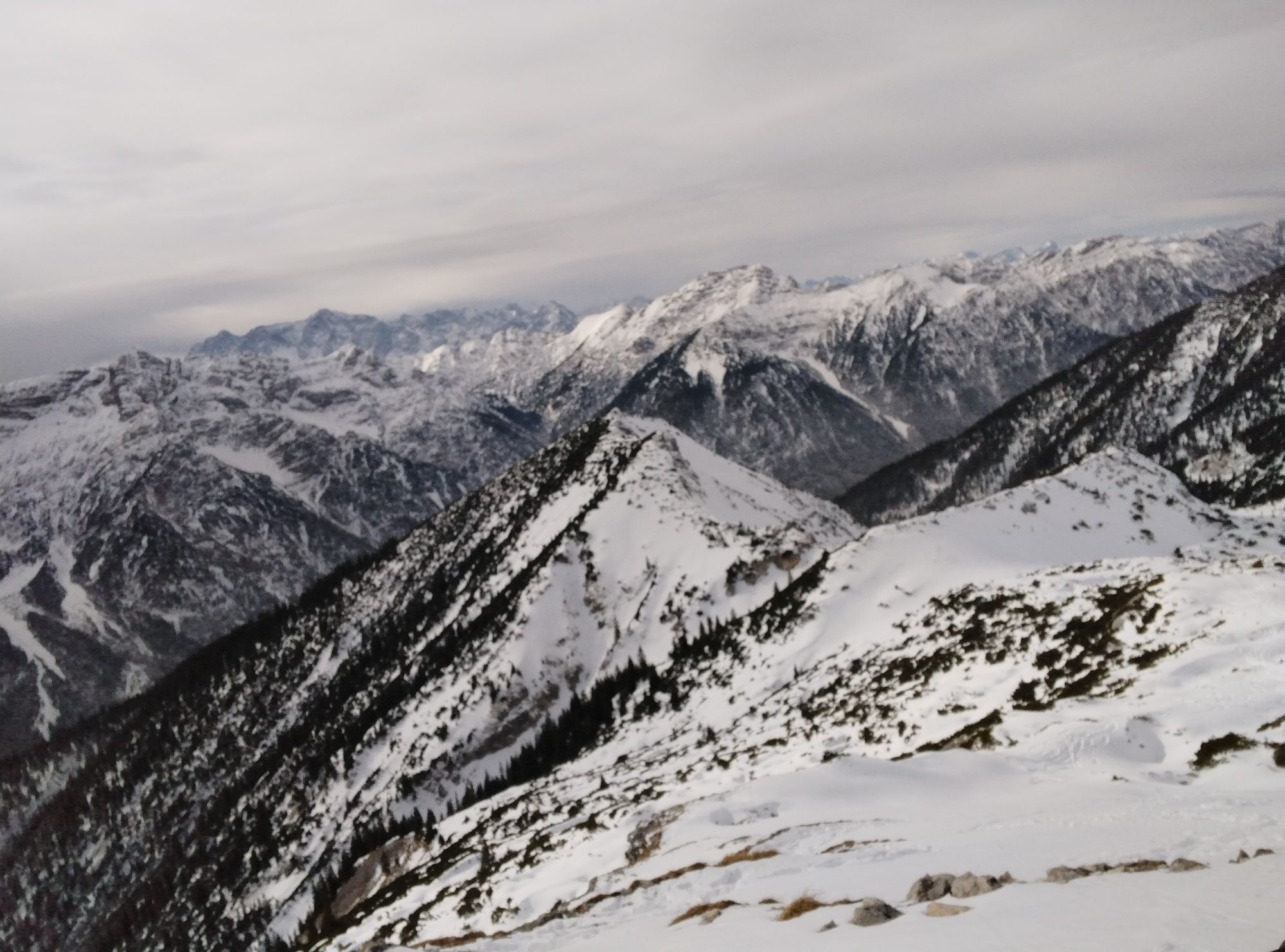
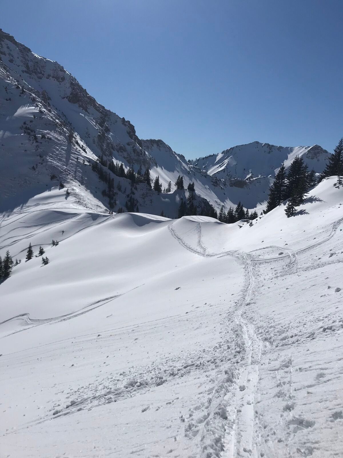
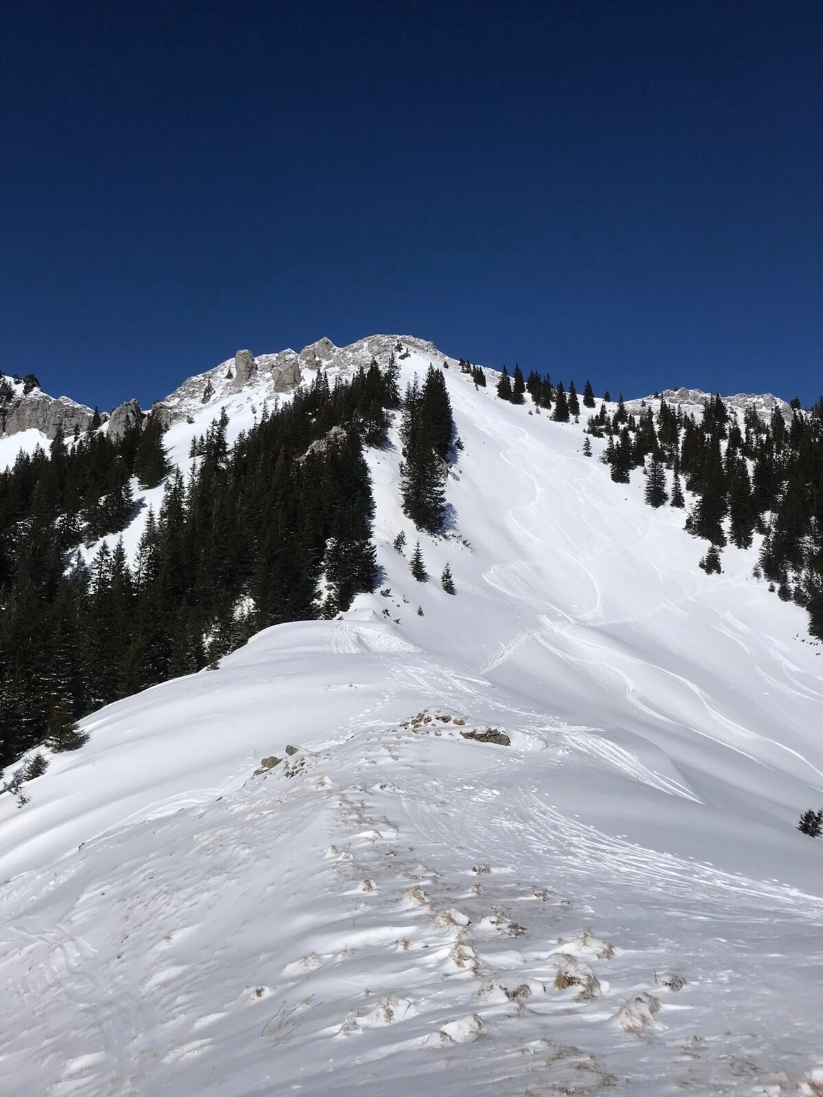
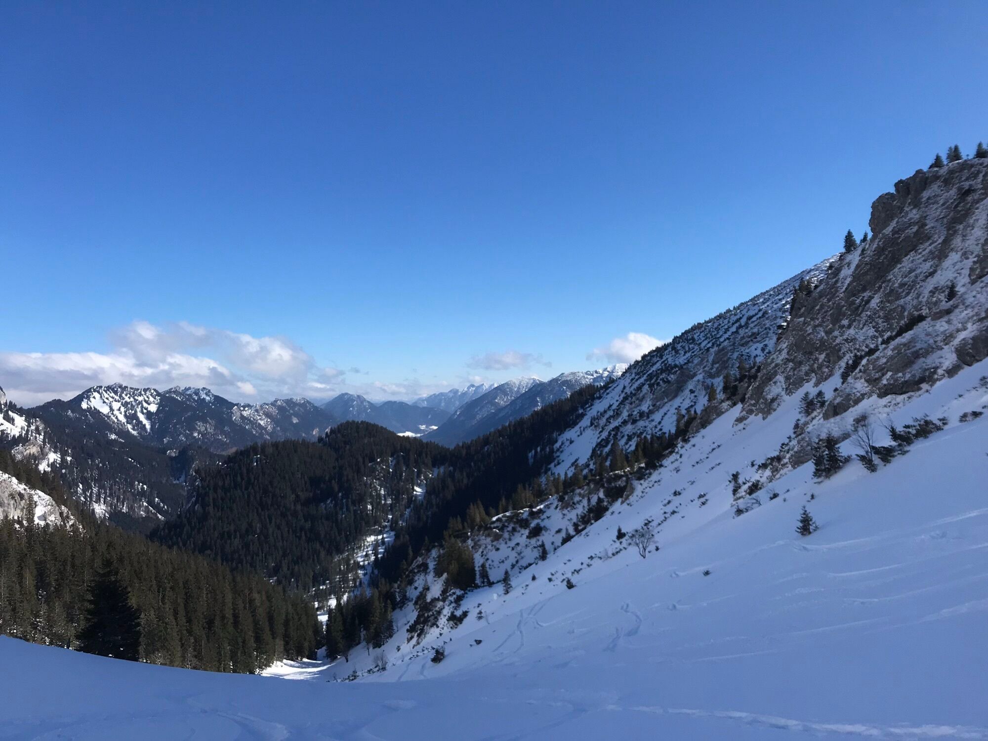
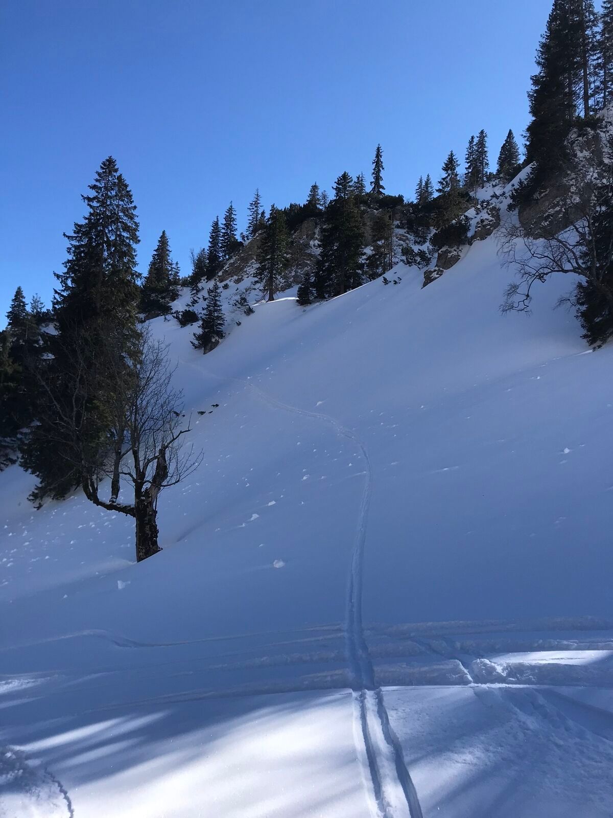
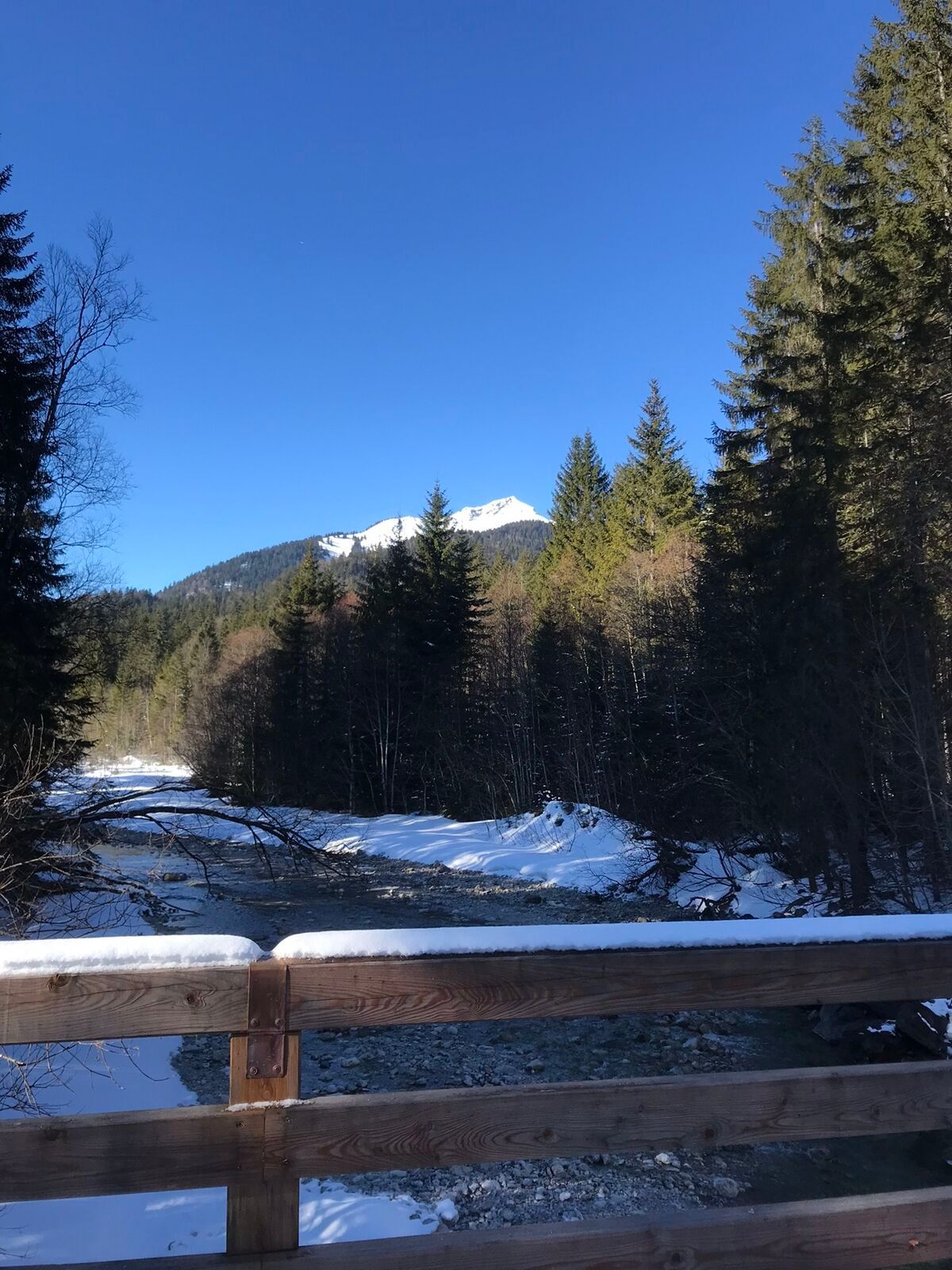
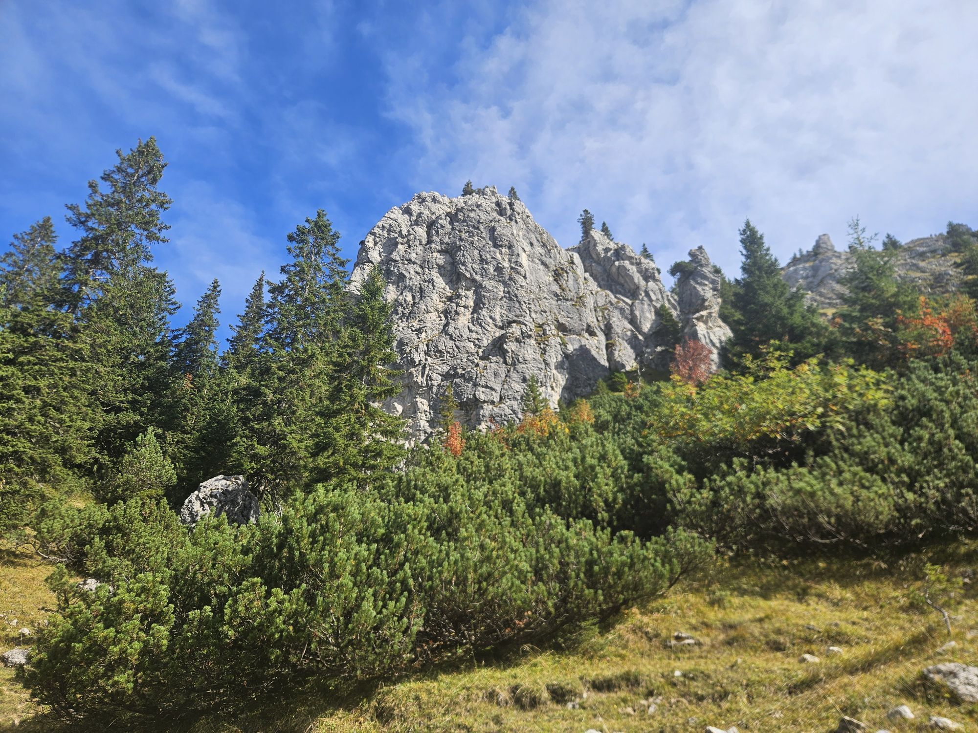
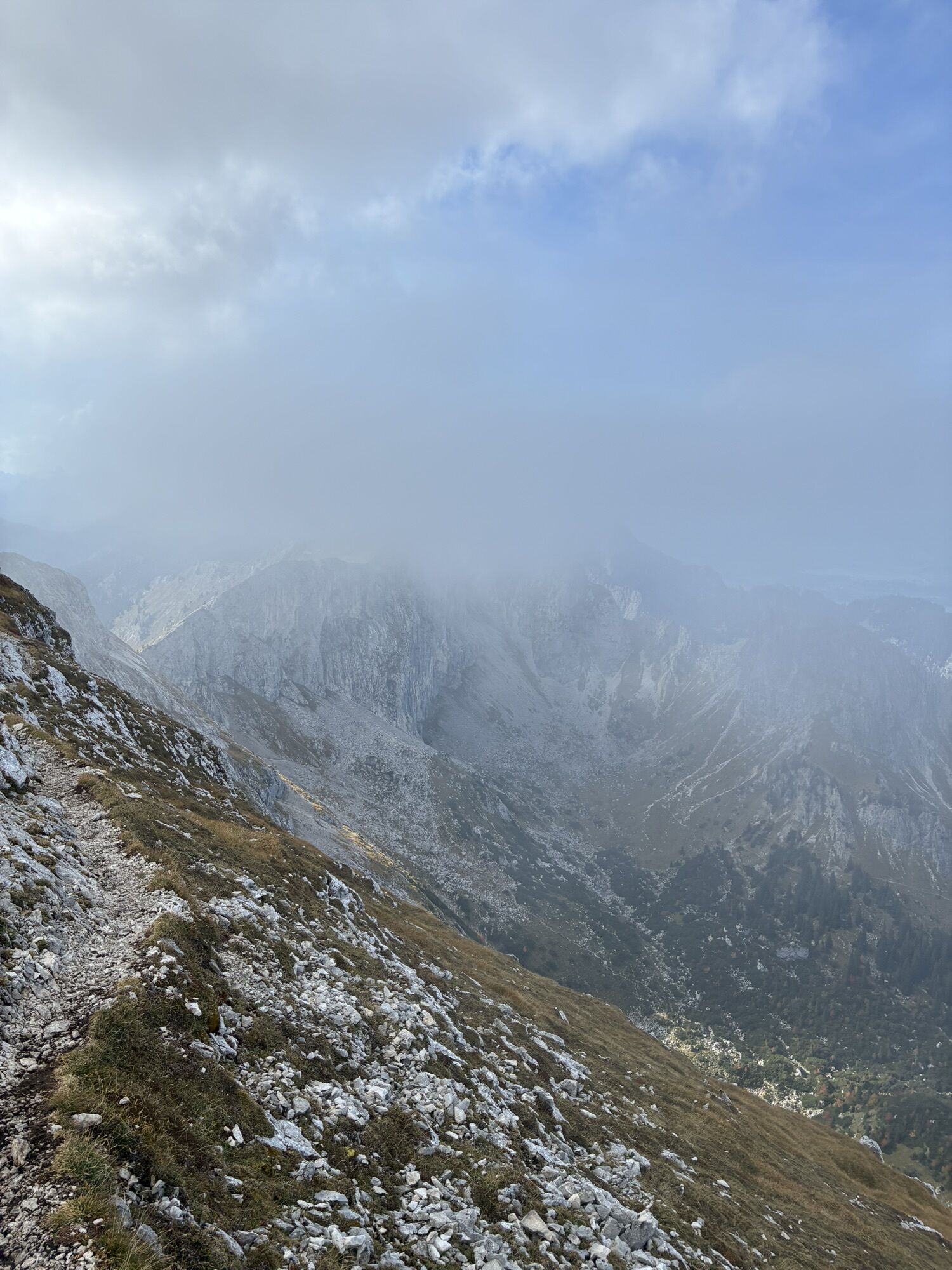
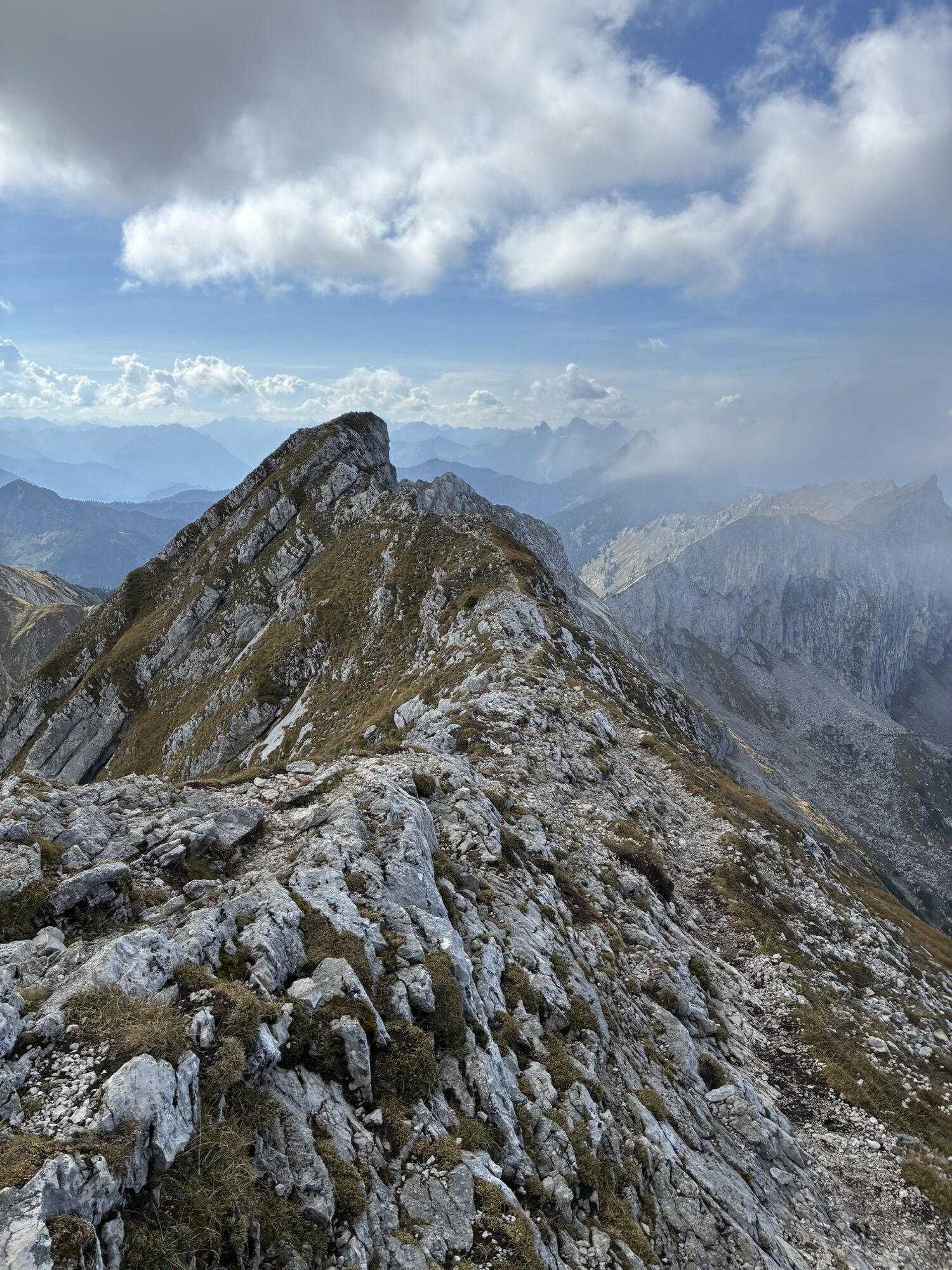
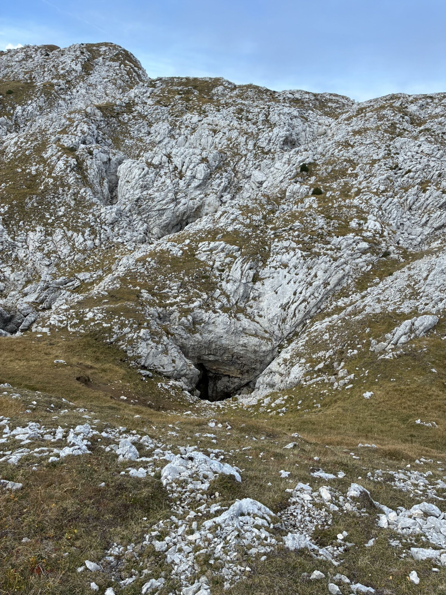
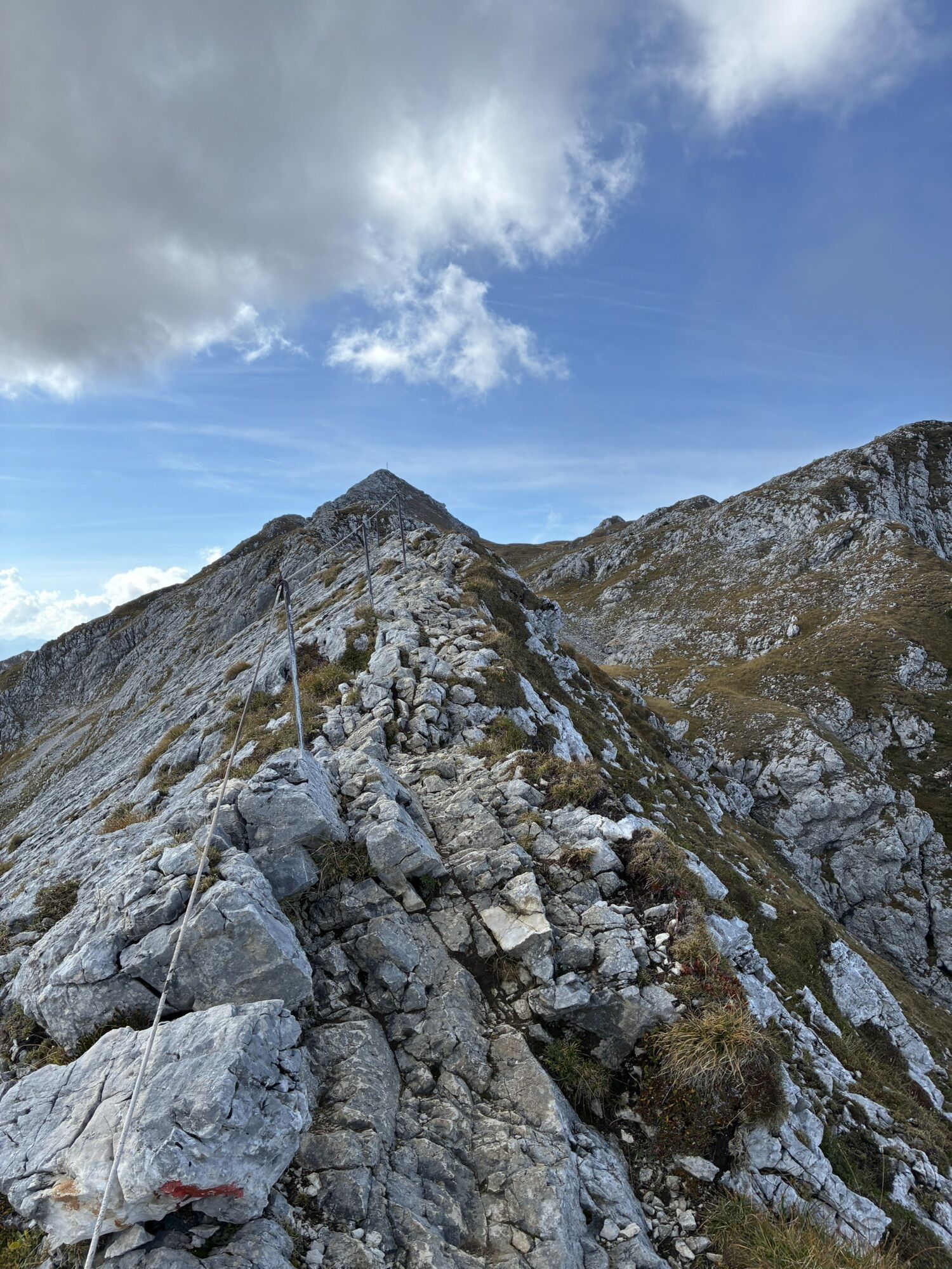
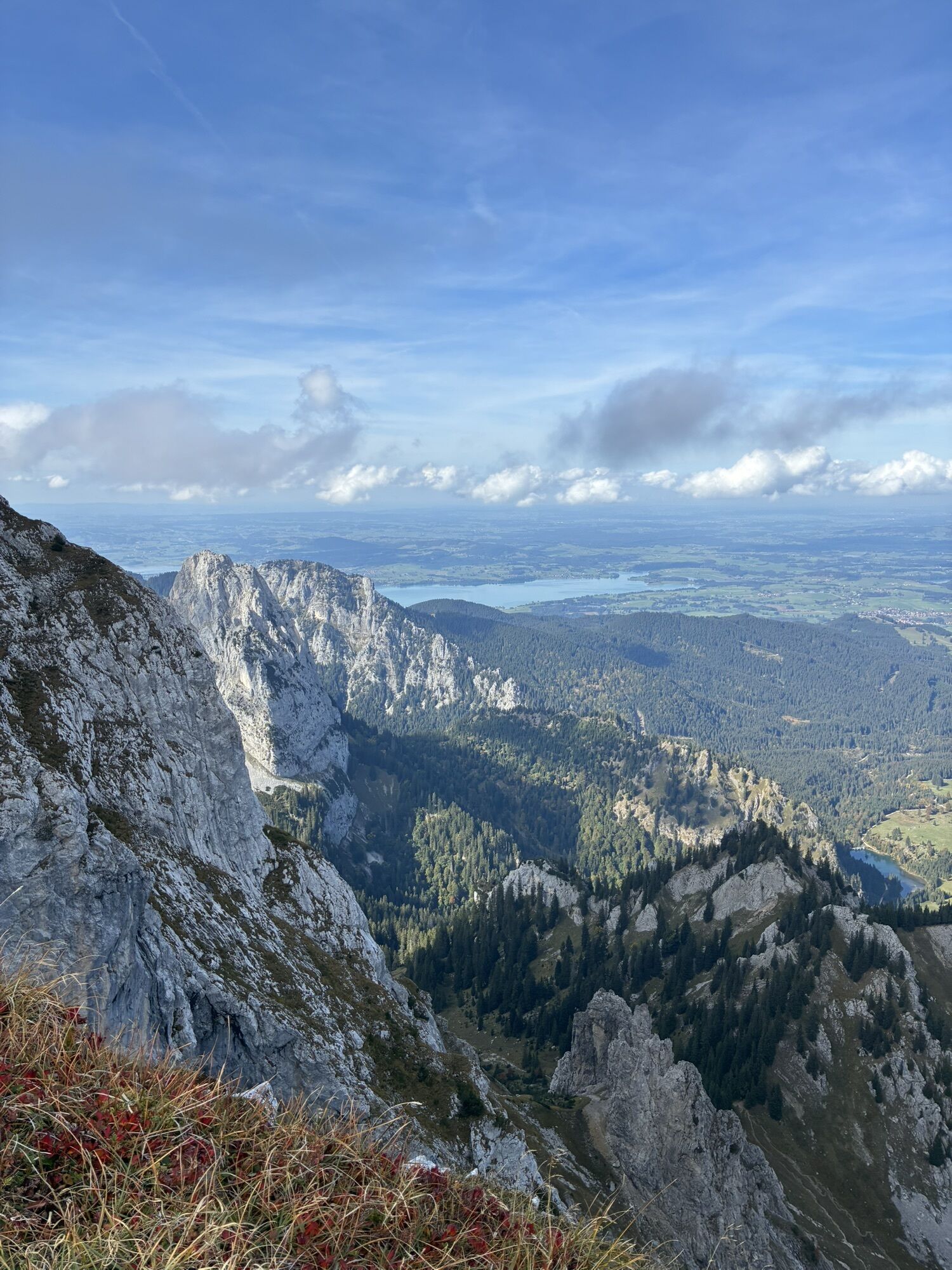
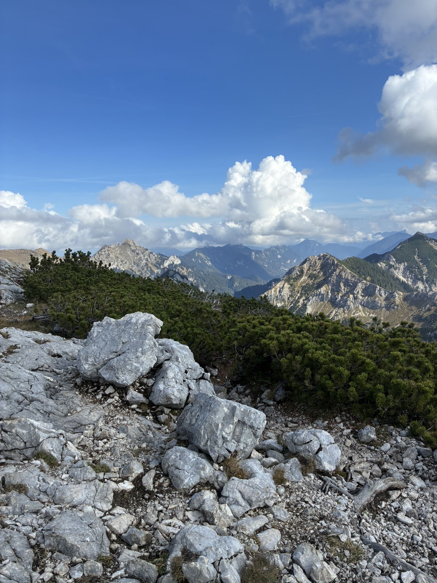
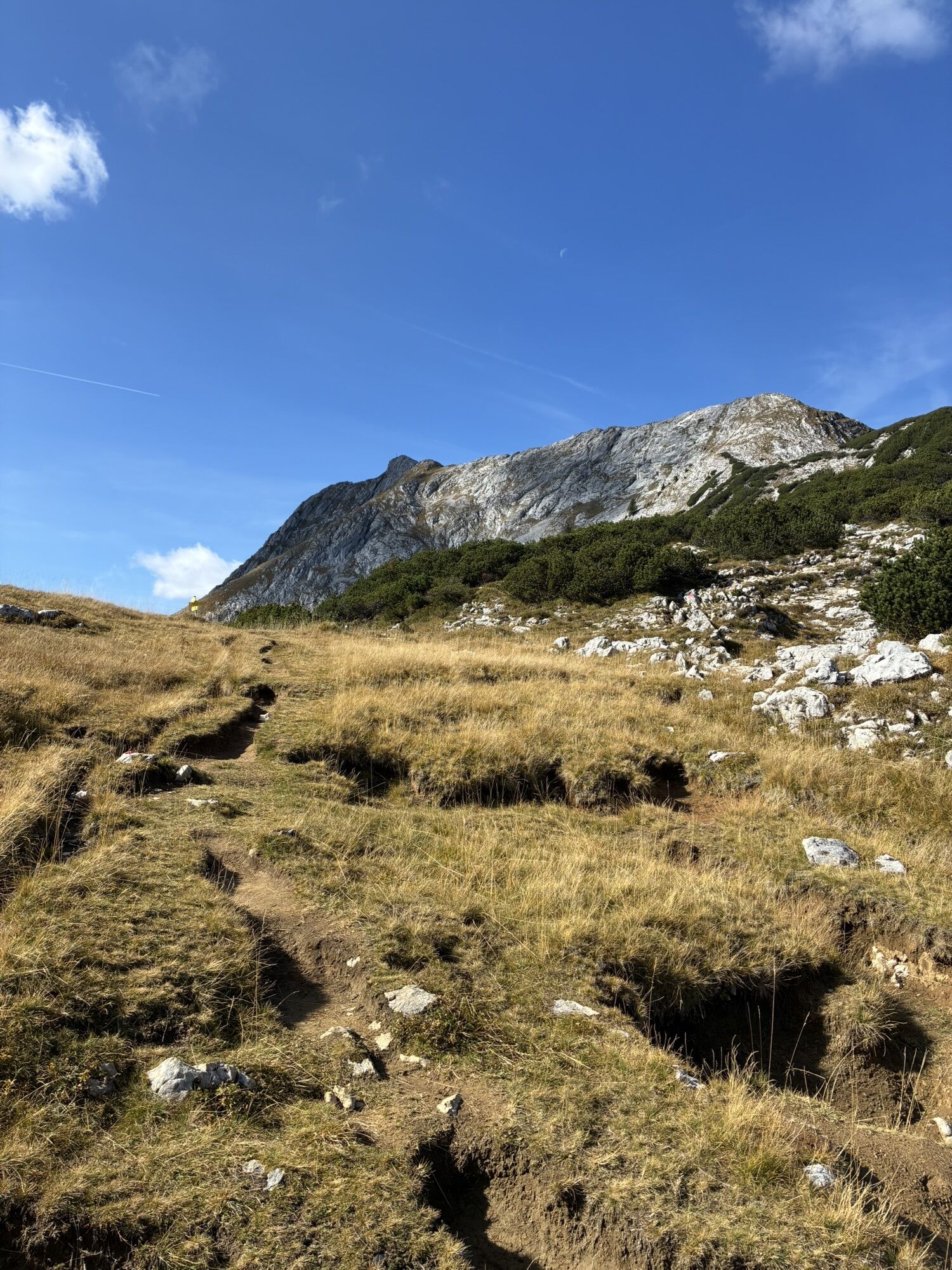
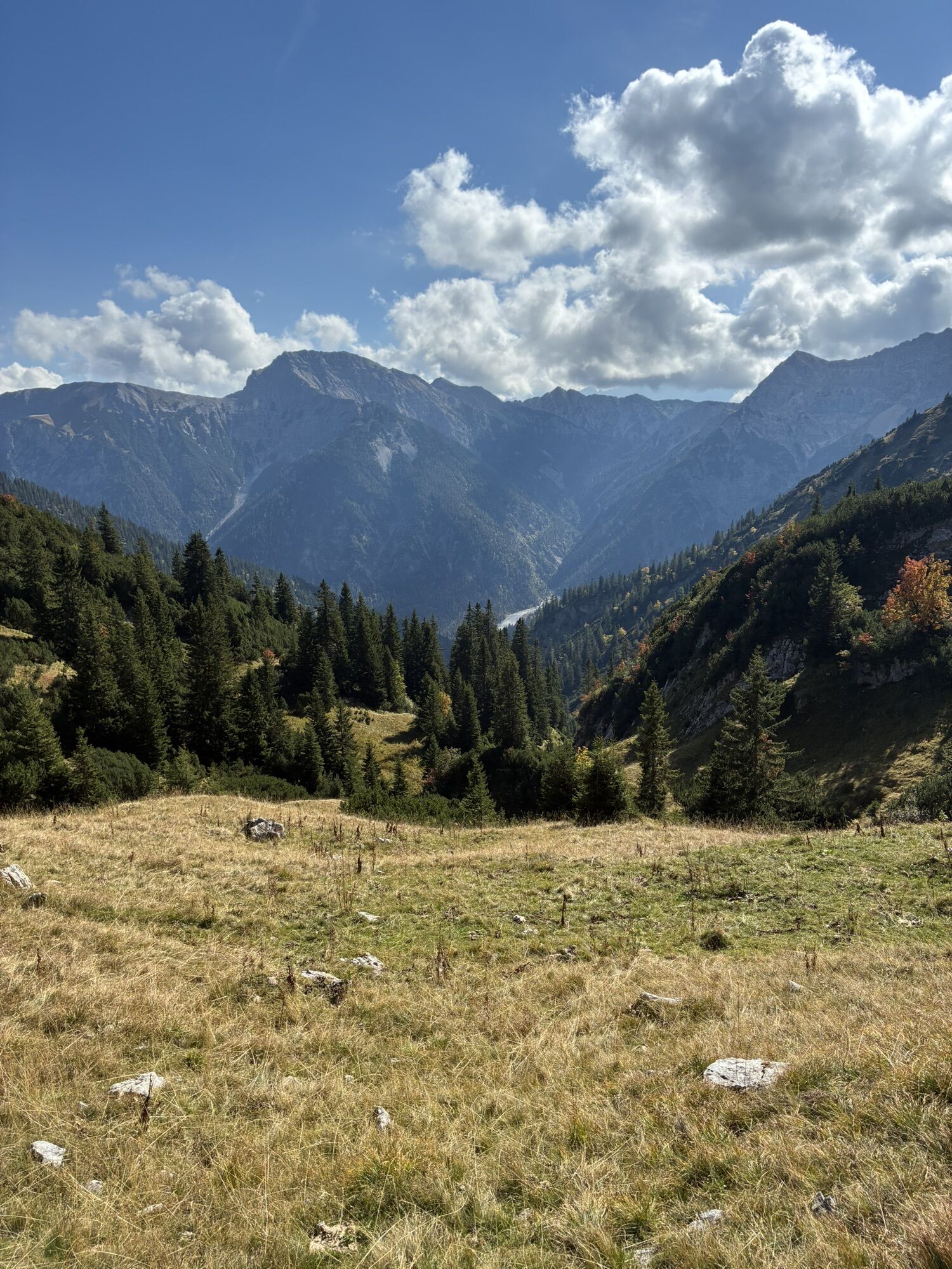
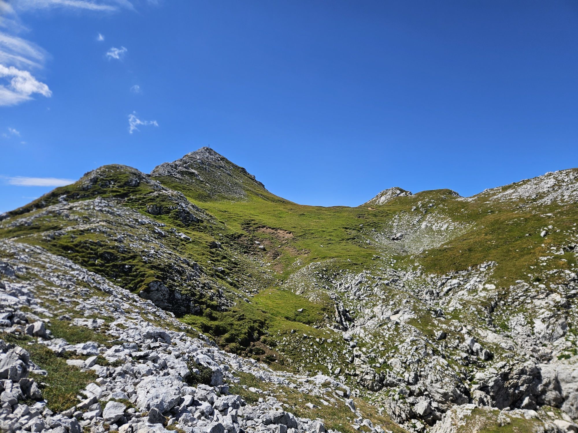
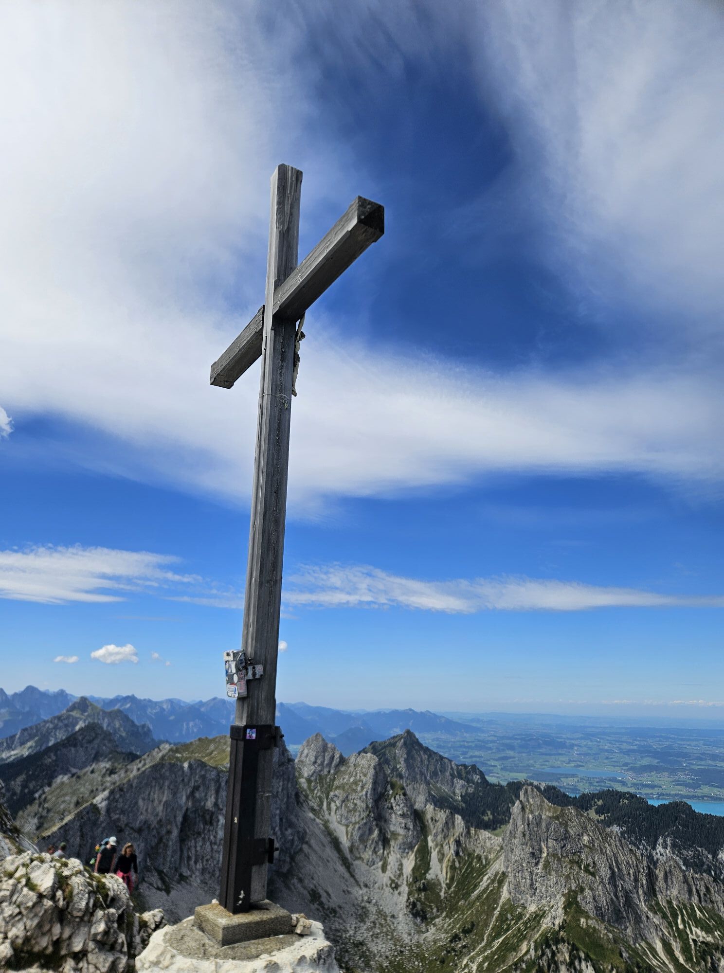
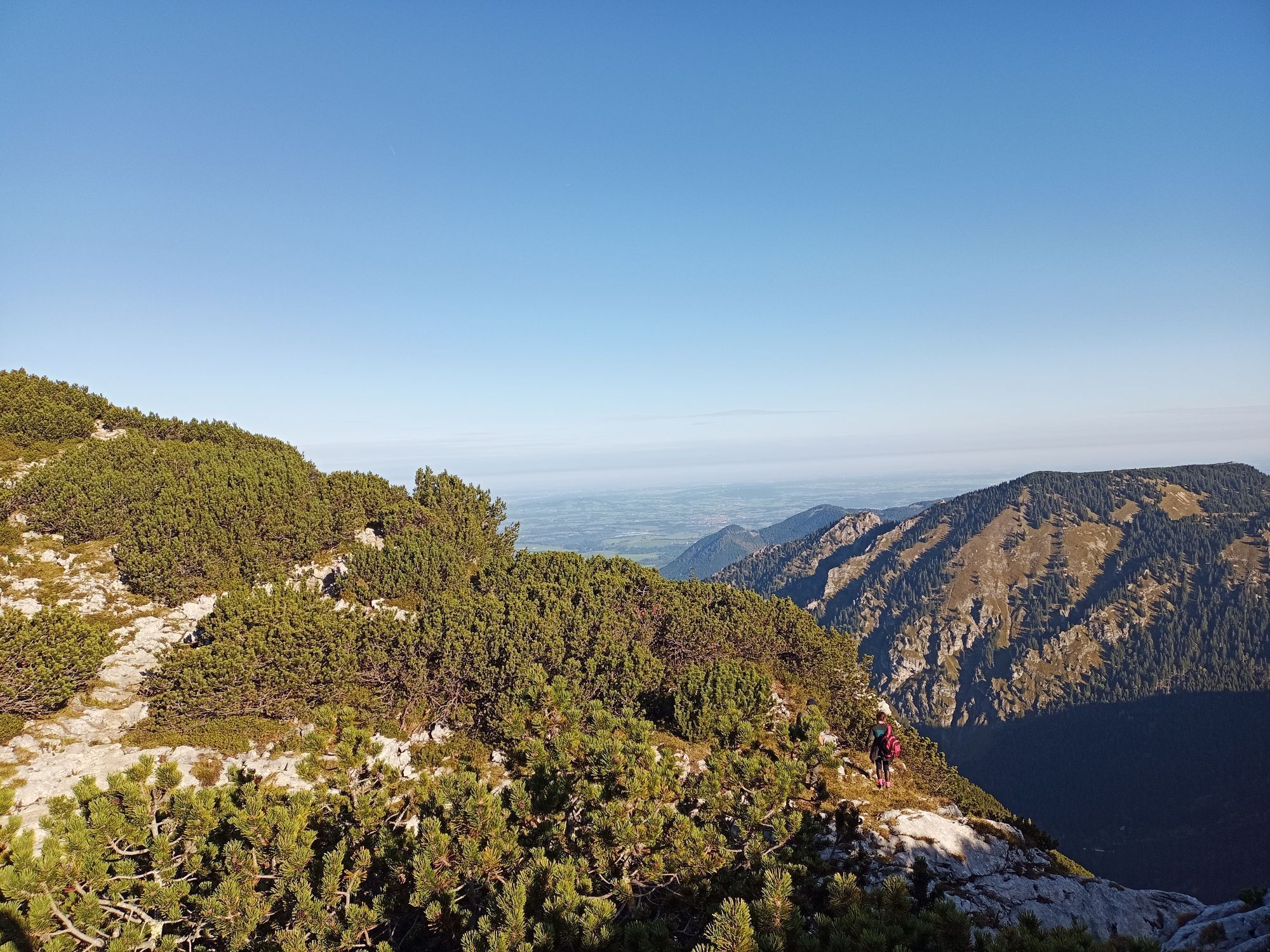
This ski route impresses with its scenic highlights and long-distance views, is also long, very varied, and has an alpine character with the spectacular ascent on the summit ridge.
Under poor conditions,...
This ski route impresses with its scenic highlights and long-distance views, is also long, very varied, and has an alpine character with the spectacular ascent on the summit ridge.
Under poor conditions, crossing the Hasentalgraben can be very demanding. The route does not offer enjoyable descents, only short, beautiful slopes section-wise; between them, more traverses await you.
Please do not enter or drive through winter protection areas!


First, walk on the forest road west into the Sägertal. At the end of the valley, it goes a bit steeper uphill in two switchbacks. Immediately afterwards, the route to the Hochplatte branches off to the left.
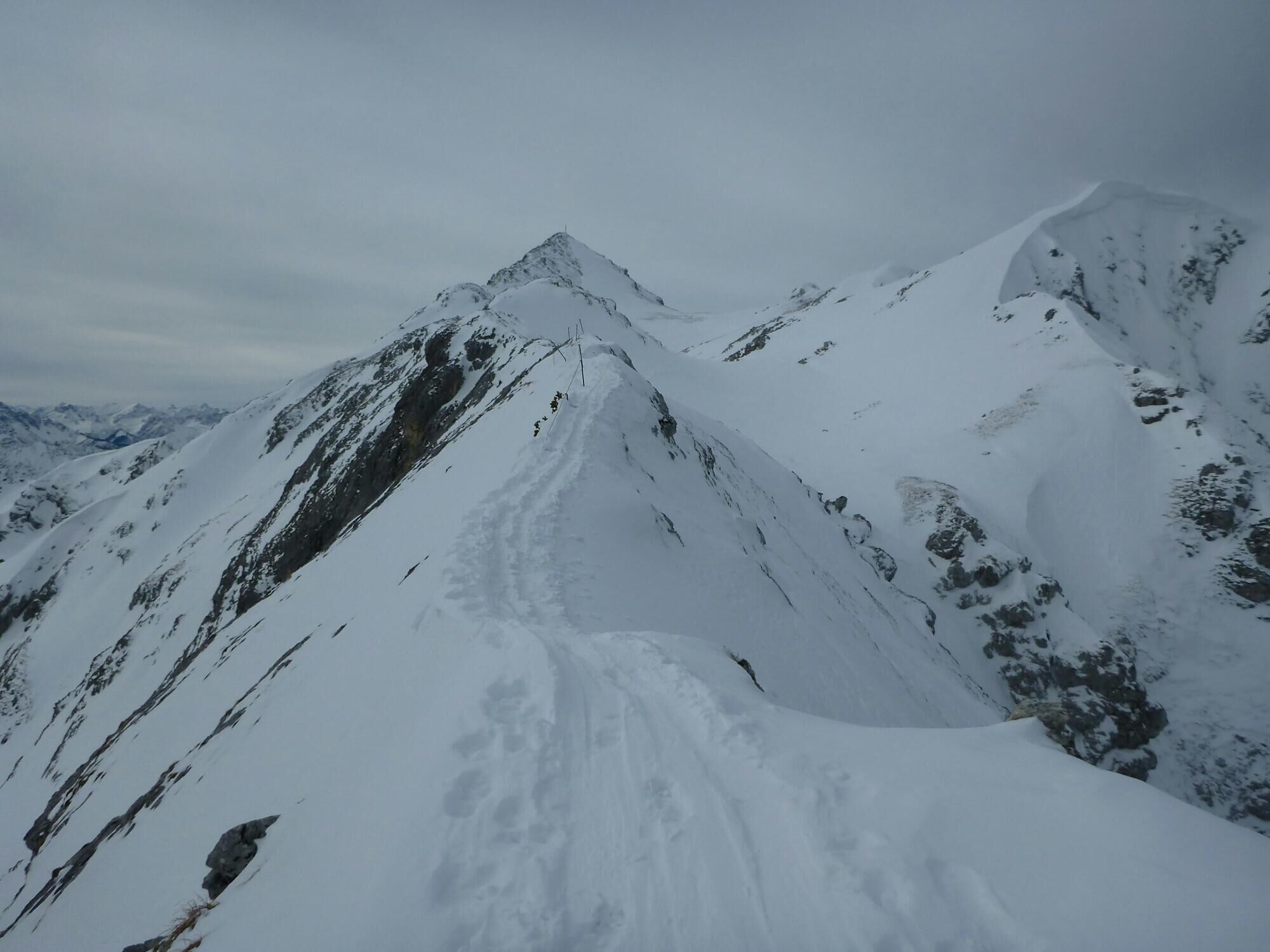
You cross the Hasentalgraben heading south and continue into the Lösertalgraben. You climb up to the Lösertaljoch and descend on the backside into the Beinlandl. Over the Schlössel and the Wilden Freithof it goes to the east ridge of the Hochplatte and over this, partly secured by a wire rope, to the highest point.
The descent is the same as the ascent. Alternatively, from the plain of the Lösertalmösl, you can climb up to the descent of the Scheinberg (approx. 100 m elevation gain). This saves you from crossing the Hasentalgraben and the less rewarding section through the Sägertal. After the ascent, the further descent leads through the Hundsfällgraben down to the starting point.
Ano
With the perfect equipment, your personal winter day in the Nature Park Ammergauer Alpen will be unforgettable. You can rent suitable winter gear like crampons (spikes for hiking boots), hiking poles, snowshoes, sleds, or cross-country skis depending on availability from our partners:
Tourist-Info Bad Bayersoien
Address: Dorfstr. 45 - 82435 Bad Bayersoien
Tel.: +49 8845 7030 620
Drahtesel Rental Lukas Spindler/ Sporthaus Mühlsträßer
Address: Theaterstraße 2 - 82487 Oberammergau
Tel.: +49 172 7228493
www.sport-muehlstrasser.de
www.bikeverleih-oberammergau.de
Sportzentrale Papistock
Address: Bahnhofstraße 6a, 82487
Tel.: +49 8822 4178
www.sportzentrale-papistock.de
Please ALWAYS observe the avalanche report: www.lawinenwarndienst-bayern.de
In case of emergency, please contact the nearest rescue control center. Regardless of your location, you can reach it nationwide in Germany under the phone number 112.
Leave via the A95 and B23 between Ettal and Oberammergau towards Reutte into the Graswangtal; past Linderhof Castle, a large parking lot appears soon on the right side. The start of the route is the same as for the Scheinberg.
Bus stop: Linderhof (20 min walk to the starting point)
9622 Oberammergau - Ettal - Linderhof
Guests of the Ammergauer Alpen region travel free by bus and train with the electronic guest card or the KönigsCard
e-car sharing in the Nature Park Ammergauer Alpen
Parking lot Sägertal (winter), Graswangtal
Oblíbené prohlídky v okolí
-
4.7
Forggensee round
středníJízda na kole 32.5 km -
4.6
Around Weißensee
světloTuristika 6.12 km -
4.6
Mountain route - Teufelstättkopf
středníTuristika 10.8 km -
4.5
Circular hike Dreh- and Rohrkopfhütte
světloTuristika 8.76 km -
4.1
Drehhütte
světloTuristika 3.34 km -
4.6
Yellow Wall Trail, Tegelberg (A)
středníVia ferrata 3.65 km -
4.9
Tegelberg | Branderschrofen | Neuschwanstein
středníTuristika 14.8 km -
4.4
Cultural trail Schutzengelweg
středníTuristika 5.13 km -
4.4
Rundwanderung Stuibenfälle
středníTuristika 3.92 km -
4.7
Hochplatte
středníTuristika 10.4 km
Pěší turistika a stopování


Nenechte si ujít nabídky a inspiraci pro vaši příští dovolenou
Vaše e-mailová adresa byl přidán do poštovního seznamu.





