


Two rivers - two lakes
Fotografie našich uživatelů
 © AngelikagrafVytvořeno dne 19.09.2025
 © AngelikagrafVytvořeno dne 19.09.2025
 © Sigurd MarktVytvořeno dne 31.08.2025
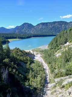 © Sigurd MarktVytvořeno dne 31.08.2025
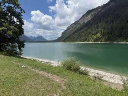 © Michael HohensinnVytvořeno dne 28.06.2025
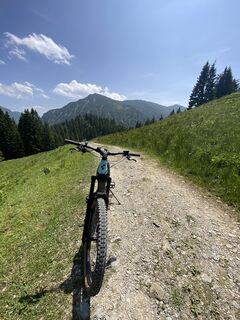
 © Sven KrieblinVytvořeno dne 11.06.2025
 © Verena ViktorinVytvořeno dne 30.05.2025
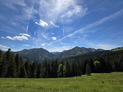 © Verena ViktorinVytvořeno dne 30.05.2025
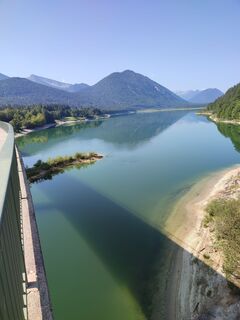
 © Porpáczy SzabinaVytvořeno dne 29.08.2024
 © Dietmar LöfflerVytvořeno dne 19.07.2024
 © Helmut ScheurerVytvořeno dne 05.09.2020
 © Helmut ScheurerVytvořeno dne 05.09.2020
 © Helmut ScheurerVytvořeno dne 05.09.2020
 © ADV.tirolVytvořeno dne 02.03.2025
 © ptrckVytvořeno dne 06.10.2024
 © ptrckVytvořeno dne 06.10.2024
 © Theodora LauthVytvořeno dne 08.06.2024
 © Sven KrieblinVytvořeno dne 10.05.2024
 © Markus KöhnVytvořeno dne 19.03.2023
 © stefan garthoffVytvořeno dne 08.10.2022
 © Michi SteiertVytvořeno dne 02.05.2026
 © Michi SteiertVytvořeno dne 02.05.2026
 © Michi SteiertVytvořeno dne 02.05.2026
 © Michi SteiertVytvořeno dne 11.04.2026
 © Michi SteiertVytvořeno dne 11.04.2026
 © Denise MillerVytvořeno dne 08.04.2026
 © Denise MillerVytvořeno dne 08.04.2026
 © Michi SteiertVytvořeno dne 23.03.2026
 © Michi SteiertVytvořeno dne 23.03.2026
 © Michi SteiertVytvořeno dne 23.03.2026
 © Michi SteiertVytvořeno dne 23.03.2026
 © Michi SteiertVytvořeno dne 23.03.2026
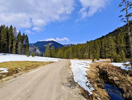 © Michi SteiertVytvořeno dne 21.03.2026
 © Michi SteiertVytvořeno dne 21.03.2026
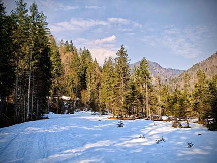 © Michi SteiertVytvořeno dne 21.03.2026
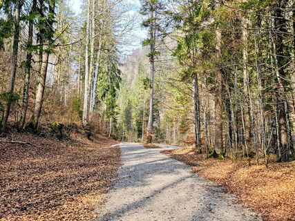 © Michi SteiertVytvořeno dne 21.03.2026
 © Michi SteiertVytvořeno dne 16.03.2026
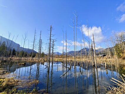 © Michi SteiertVytvořeno dne 16.03.2026
 © Michi SteiertVytvořeno dne 14.02.2026
 © Markus RitterVytvořeno dne 18.01.2026
 © Markus RitterVytvořeno dne 18.01.2026
 © Markus RitterVytvořeno dne 18.01.2026
 © Norbert HerbigVytvořeno dne 27.12.2025
 © Norbert HerbigVytvořeno dne 27.12.2025
 © Norbert HerbigVytvořeno dne 27.12.2025
 © Norbert HerbigVytvořeno dne 27.12.2025
 © Norbert HerbigVytvořeno dne 27.12.2025
 © Norbert HerbigVytvořeno dne 27.12.2025


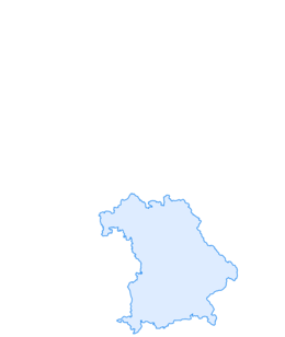
The route runs from Kreuth along the Weißach river, further over the Achenpass to Sylvensteinsee, and on the Isar cycle path to Lenggries.
Back to Lake Tegernsee, the route passes beautiful viewpoints...
The route runs from Kreuth along the Weißach river, further over the Achenpass to Sylvensteinsee, and on the Isar cycle path to Lenggries.
Back to Lake Tegernsee, the route passes beautiful viewpoints over the Hirschtalsattel and the Aueralm.
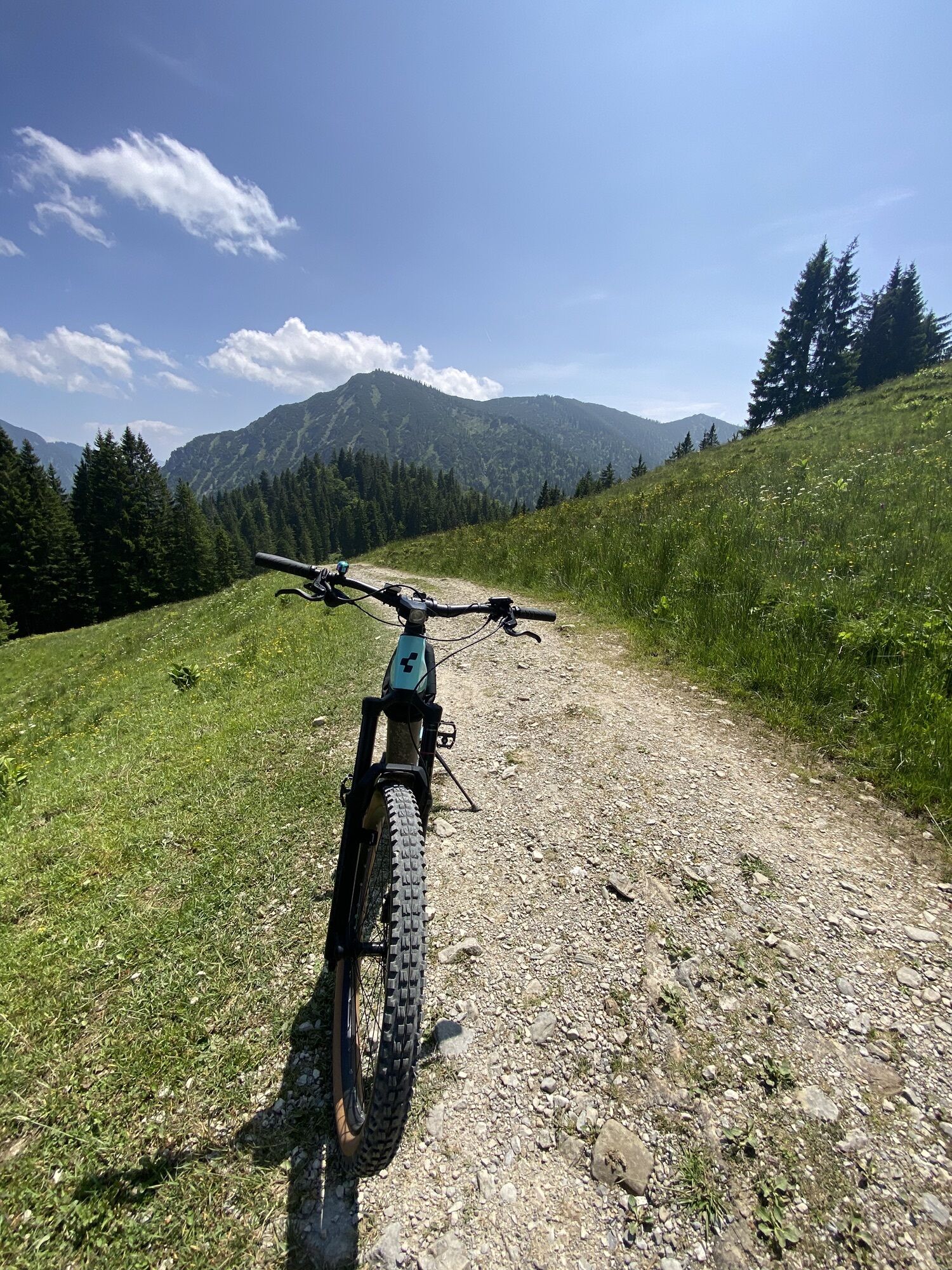
The route is suitable only for mountain bikes or e-mountain bikes and is quite challenging in the section between the Hirschtalsattel and the Neuhüttenalm.
Here you may have to push the bike for a short distance.
Variant: From Lenggries to Bad Tölz and via the Lake Constance-Königssee cycle path back to Lake Tegernsee and the mountaineering village Kreuth.
This variant is also suitable for touring bikes if you can manage on a gravel road.
Variant: Lenggries-Bad Tölz-Kreuth
If the weather does not cooperate, you can return to Lake Tegernsee by Bavarian Regiobahn from Lenggries or Bad Tölz station.

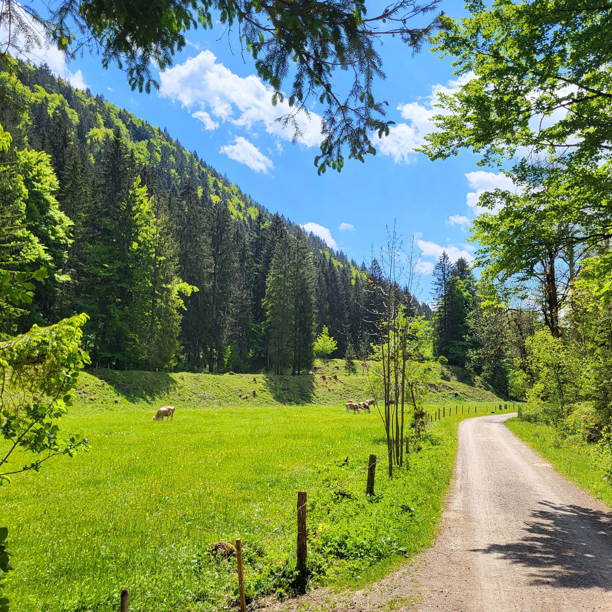
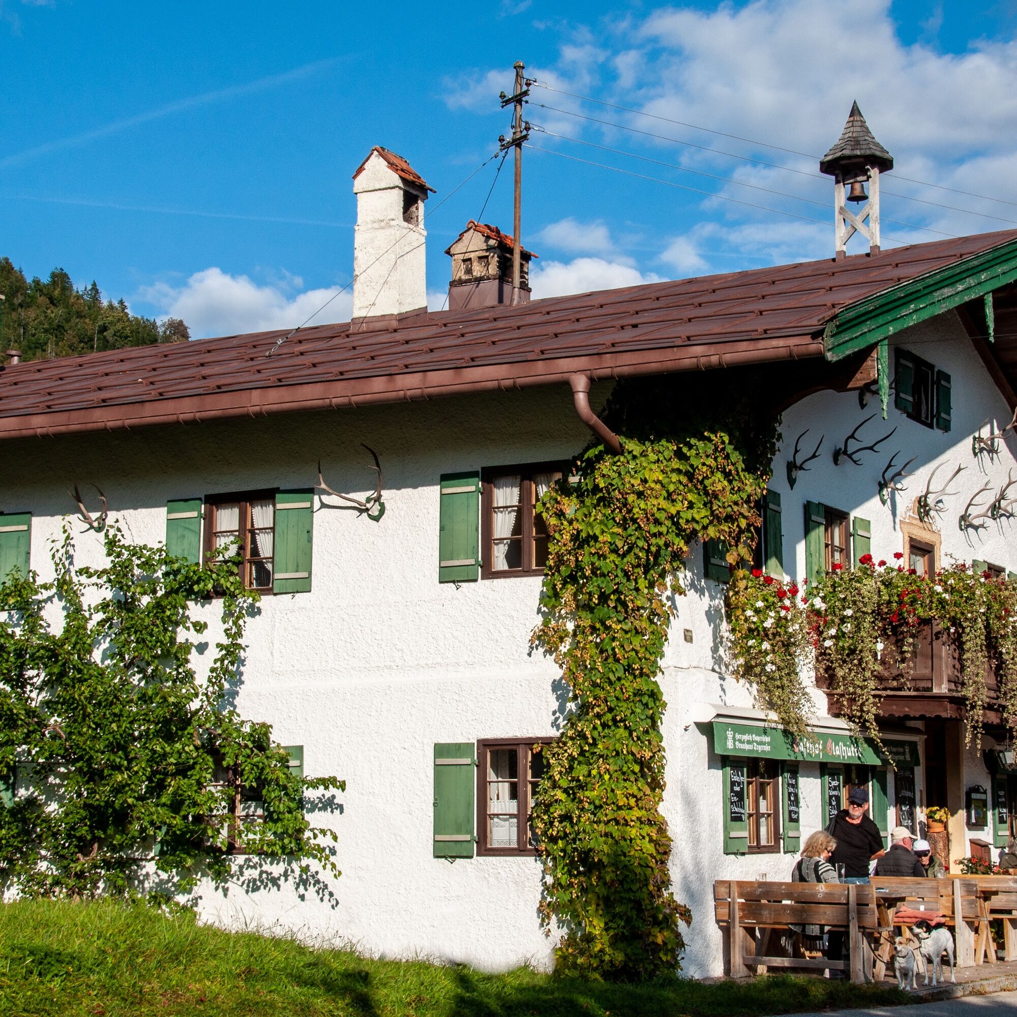
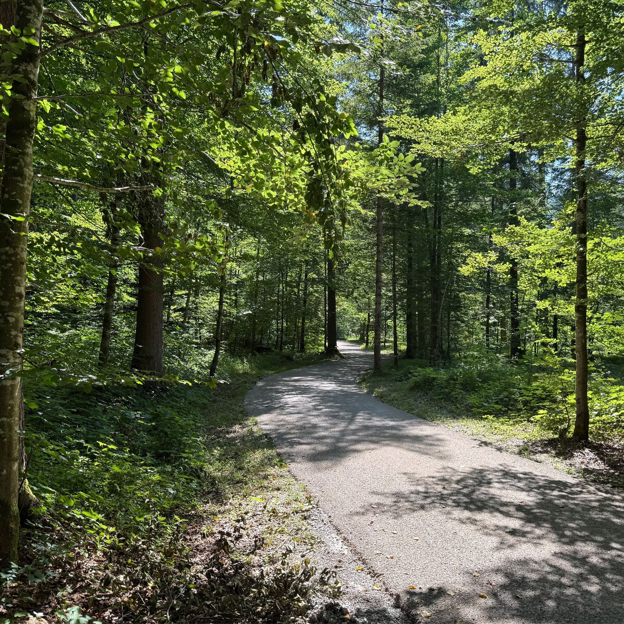
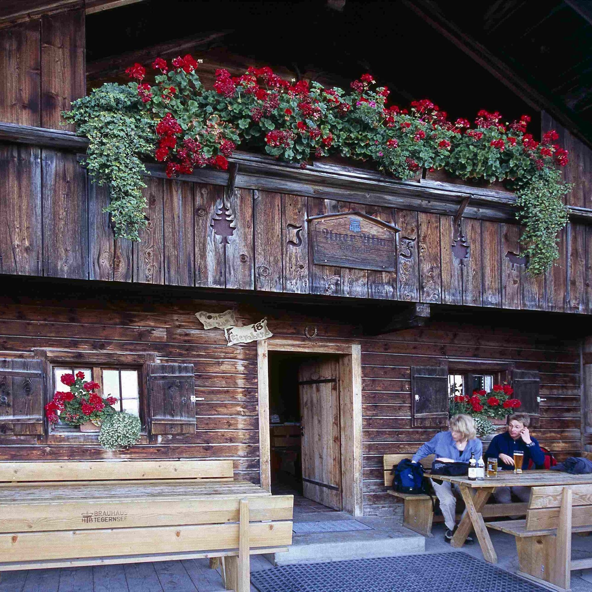
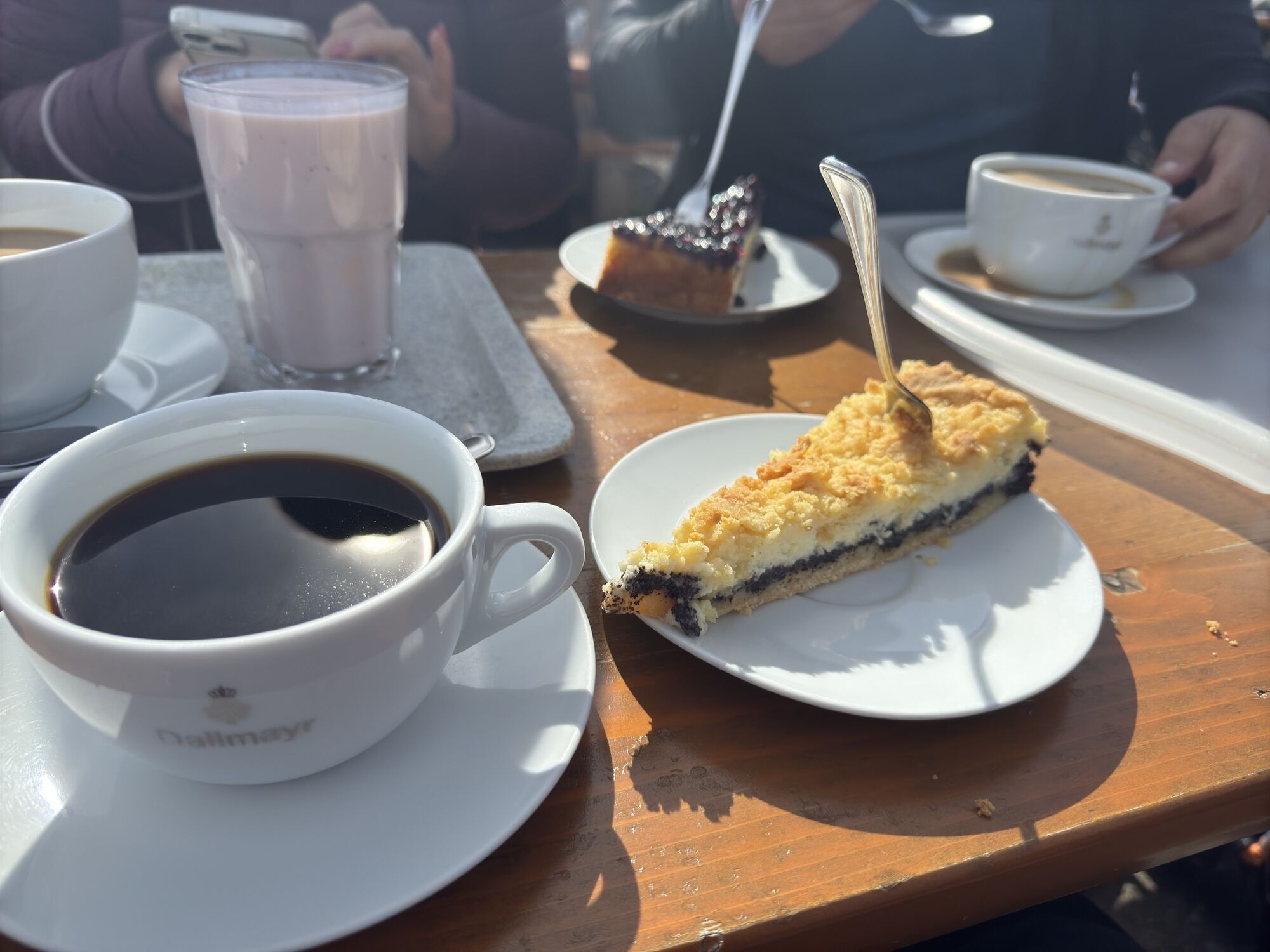
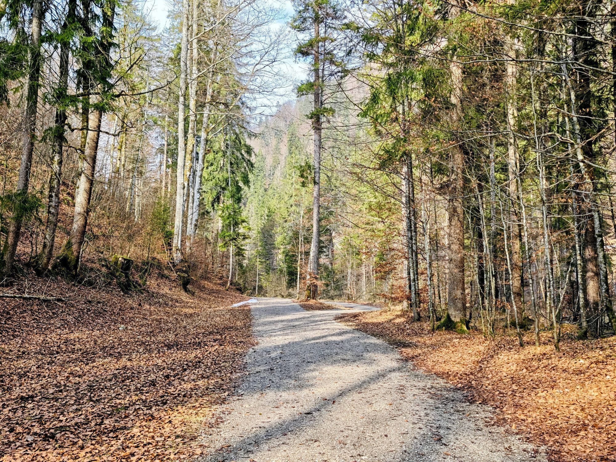
The start of the route is in the mountaineering village Kreuth at the mini-golf course in the district of Riedlern. From there, the cycle path first takes us to Wildbad Kreuth, with the option to make a stop at the restaurant "Altes Bad" or at the Ducal Fish Farm. Here you can get, in addition to a smoked trout, also coffee and cake and charge your battery at the charging station. It continues on a forest road in the direction of Achenpass to Glashütte. There, next to the chapel "Mariä Heimsuchung" stands the historic Gasthof Glashütte since 1698. The following crossing to the Achental via the Achenpass starts next to the chapel. At the highest point in the district Stuben, you remain on the forest road to the left of the federal road and thus reach the federal road “car-free” (first gently ascending, then steep downhill) shortly before the former border to Tyrol.
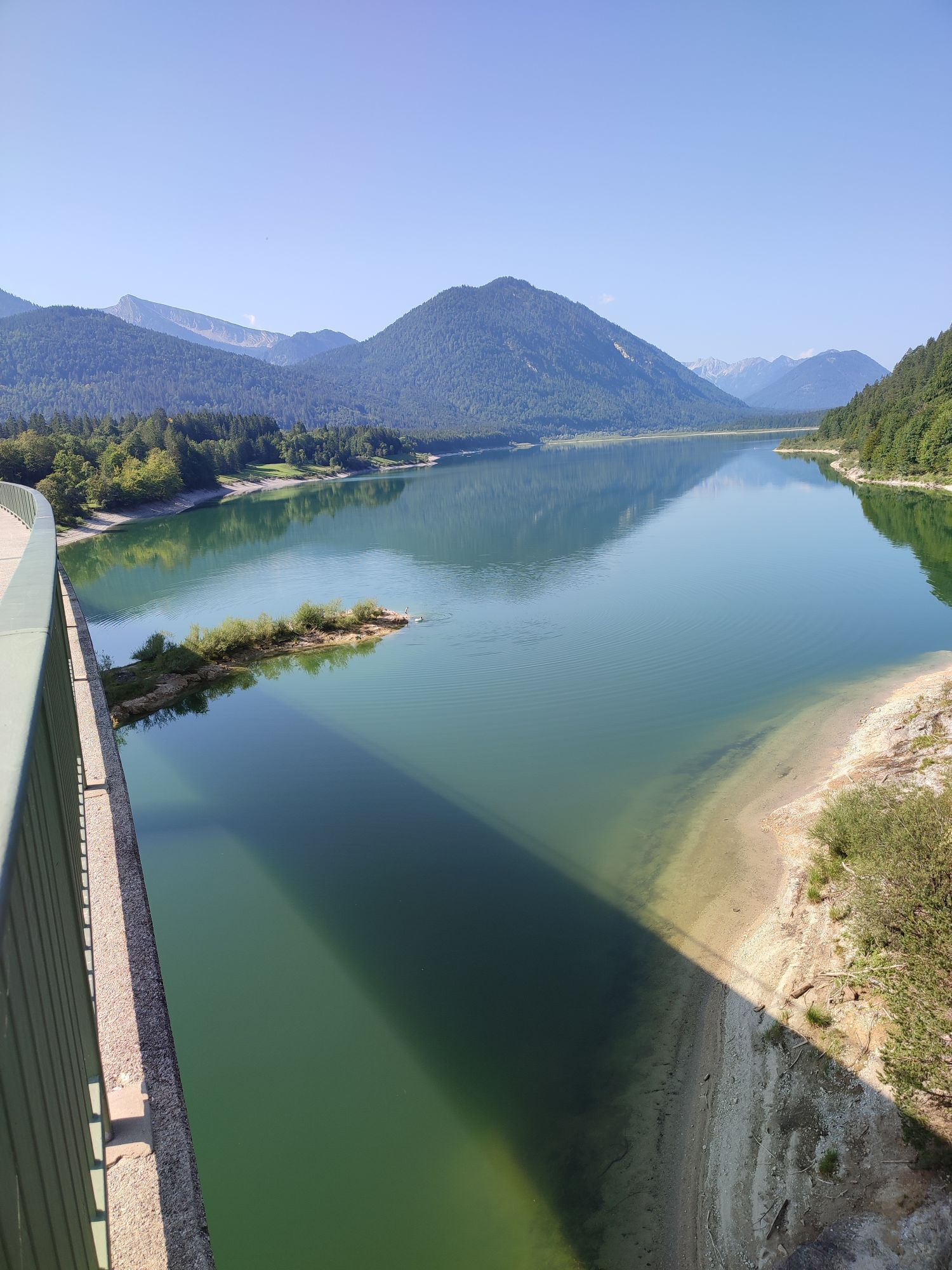
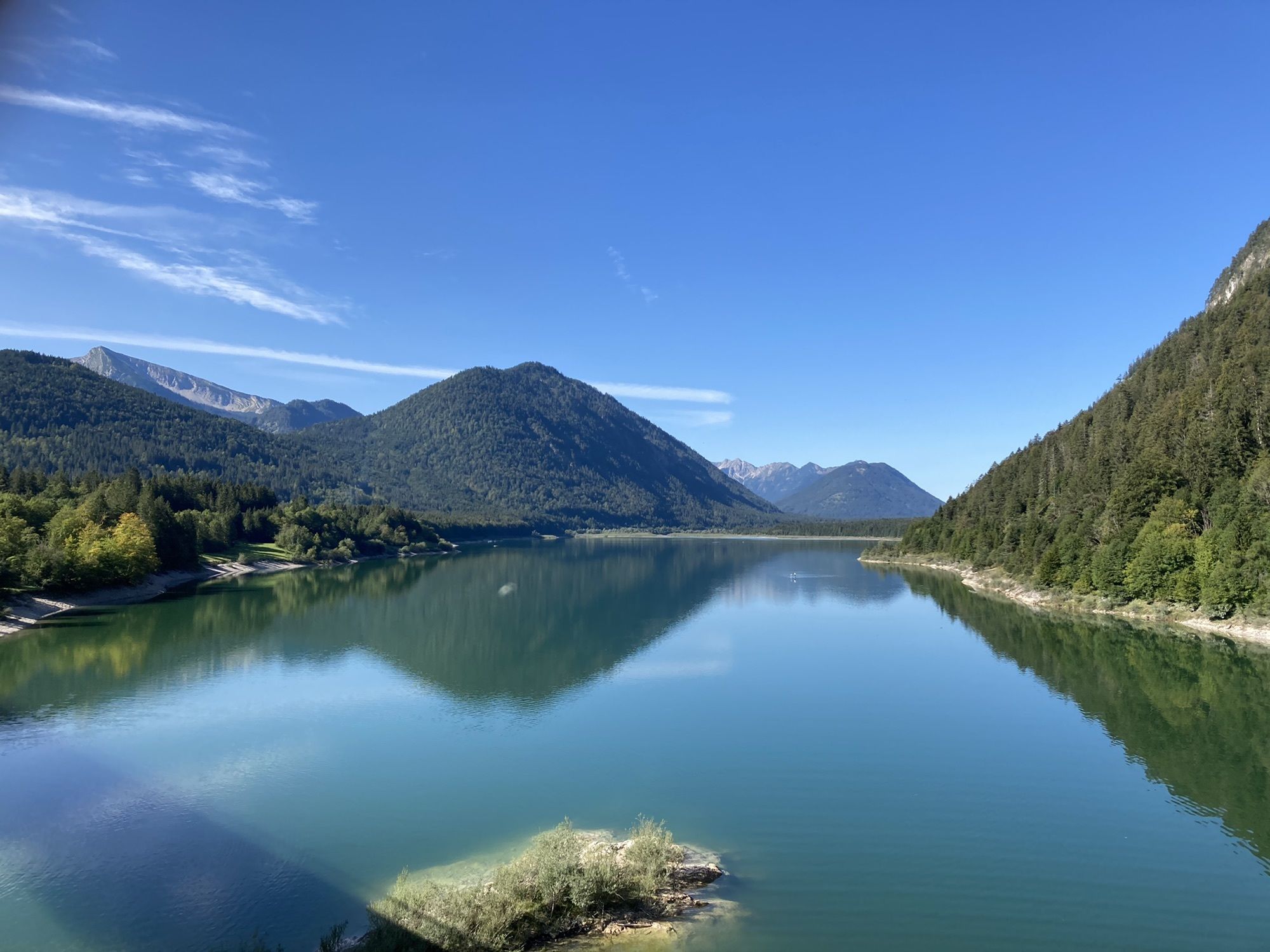
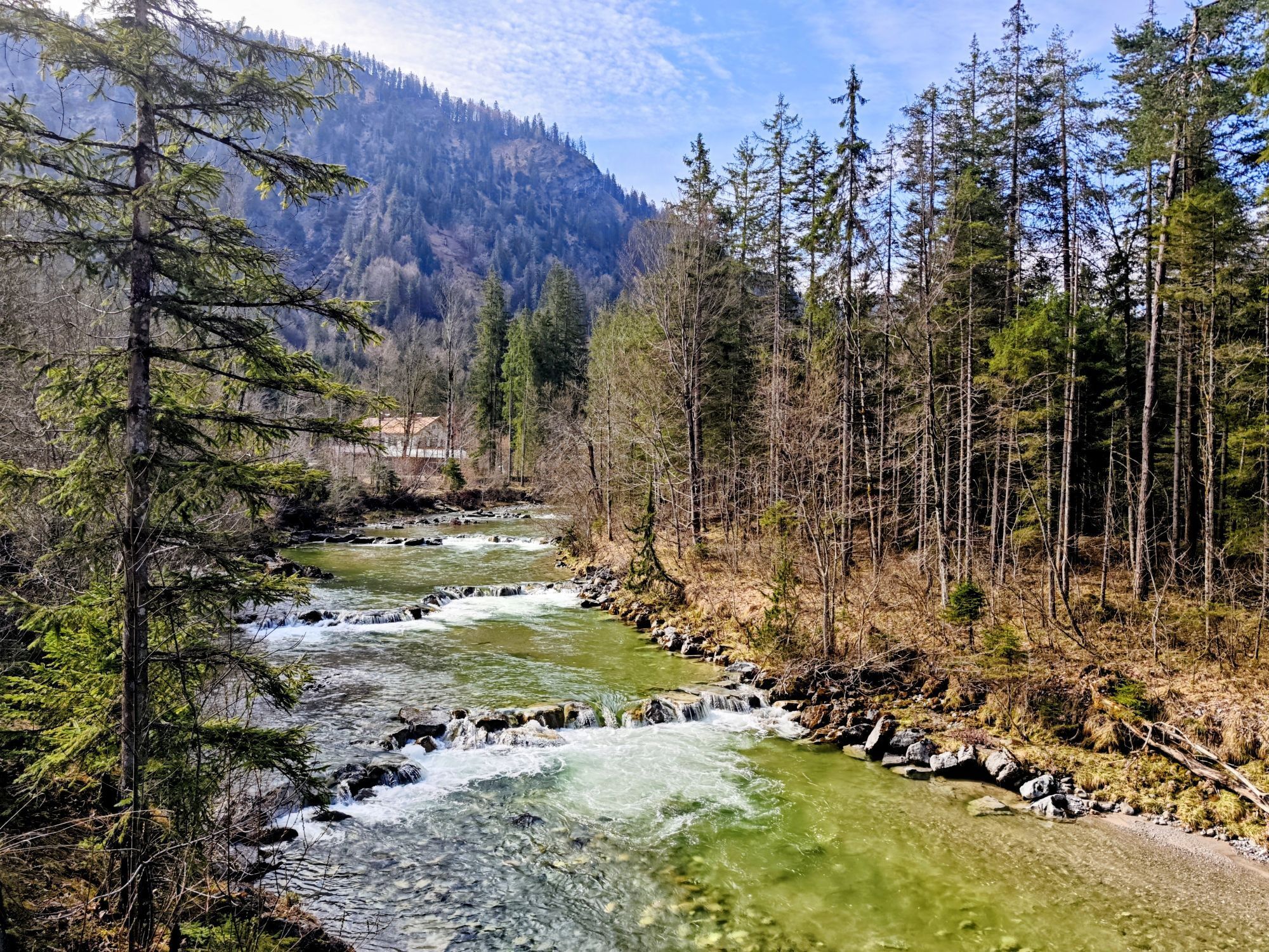
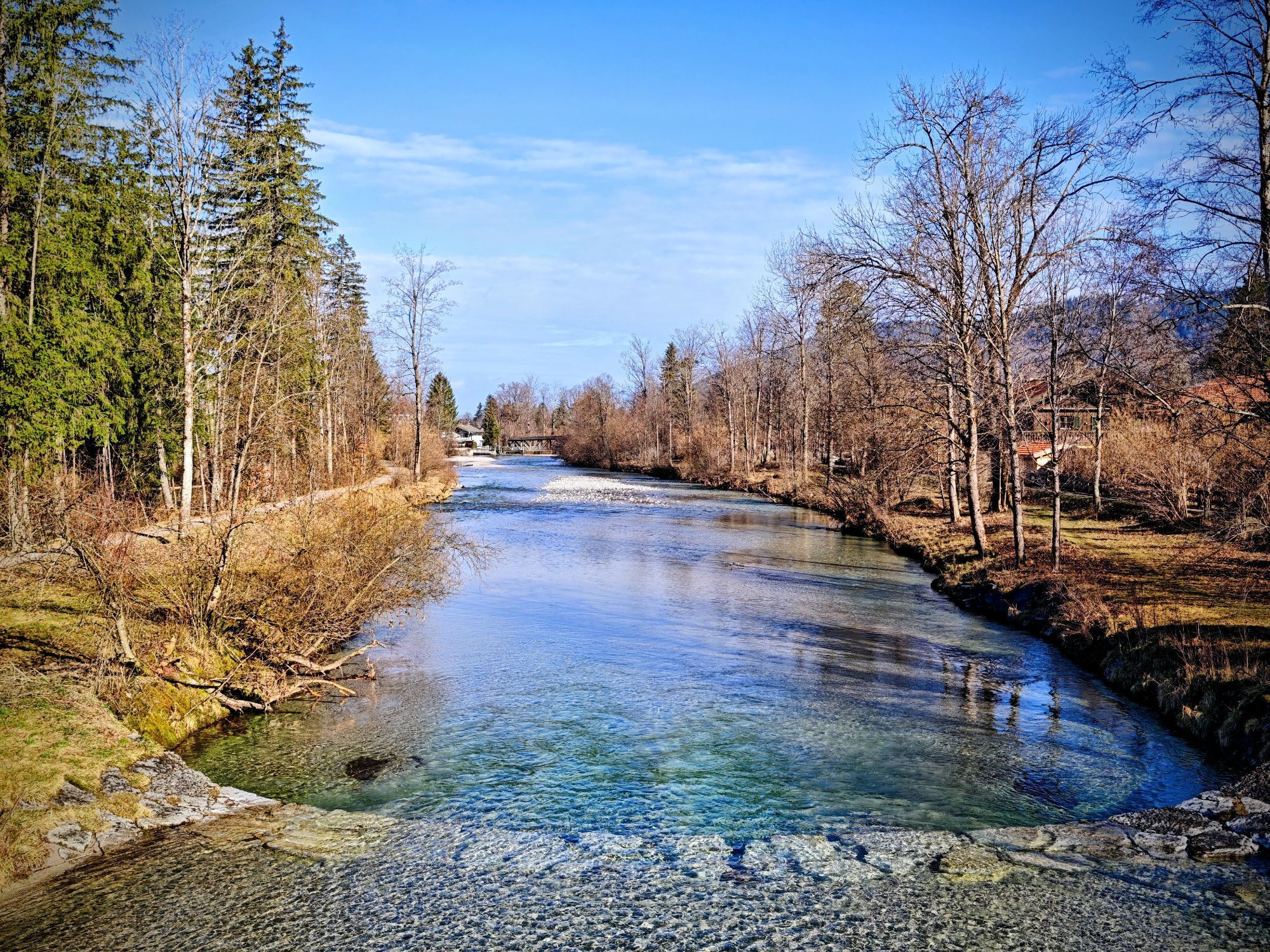
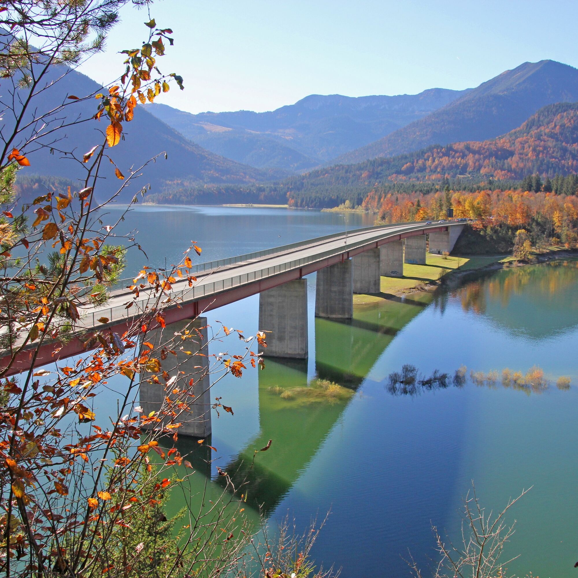
This road is crossed directly and you follow to the right the long-distance cycle route "Munich-Venice" towards Sylvensteinsee. Passing the Walchenklamm, the path continues with some ascents behind the lake to the town of Fall. Here are two places to stop for a break, the nice small inn "Faller Hof" and the hotel "Jäger von Fall", both with lovely beer gardens. However, we do not want to stay too long, as we still have a good stretch ahead. Over the impressive Sylvenstein Bridge and the Sylvenstein Dam, it continues on the paved Isar cycle path to Lenggries.
(Attention: To get to the cycle path, first cross the dam and then turn into the tunnel on the opposite side)
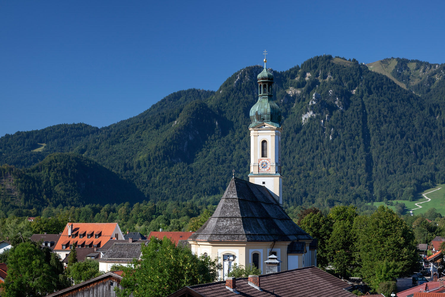
The community of Lenggries was awarded the title "Rafting Village" in 2009 by the International Rafting Association. Rafting once opened up trade for the craftsmen and tradespeople of Lenggries with the lowlands extending to the Danube countries. It was therefore one of the most important sources of income for Lenggries. Particularly worth seeing are the parish church of St. Jakobus and the Calvary Hill with the two chapels.
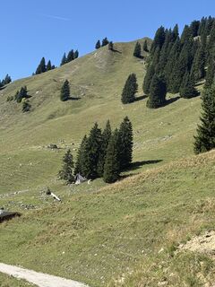
Now follows the most strenuous part of the route: over the districts of Hohenburg and Mühlbach, the forest road, partly steeply uphill, follows the Hirschbach to the Hirschbach Saddle (hiking trail signage path 601). The continuing path to the left to the Aueralm is initially quite challenging up to the Neuhüttenalm.
The bike must be lifted over a fence and then pushed briefly. There is a "climb-over" at the fence; for this, you must lift/carry the bike about 80cm. From the Neuhüttenalm to Bad Wiessee, it goes only downhill!
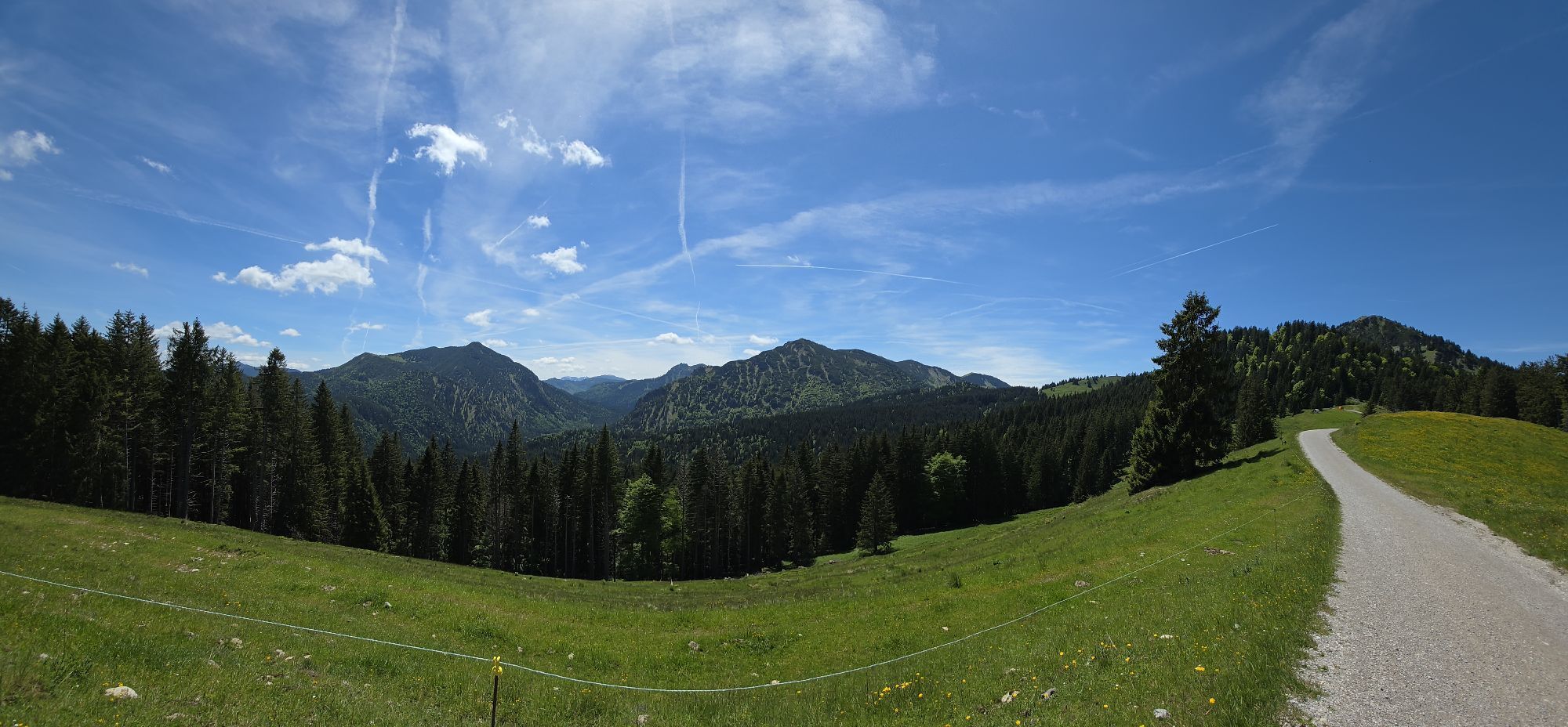
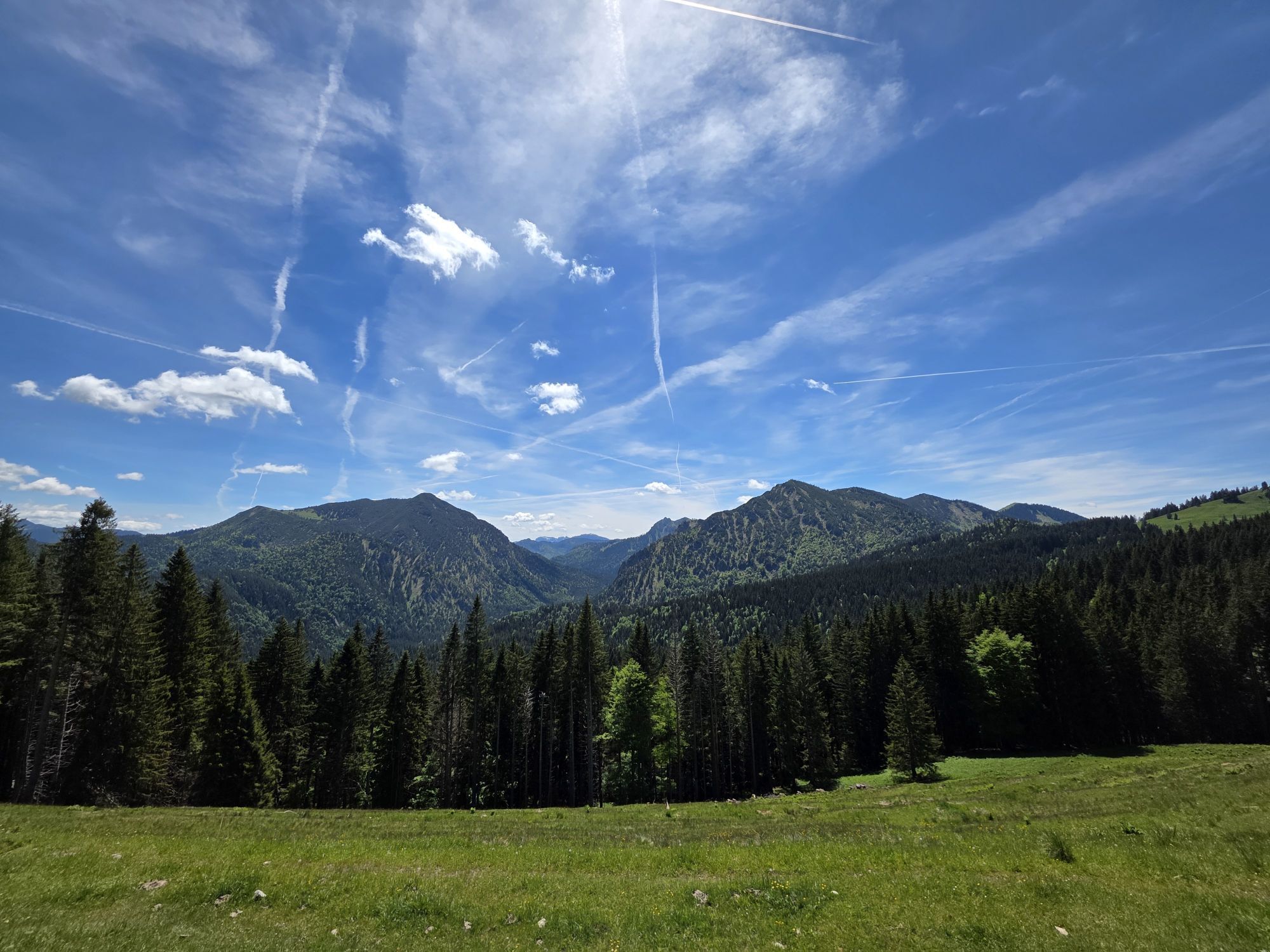
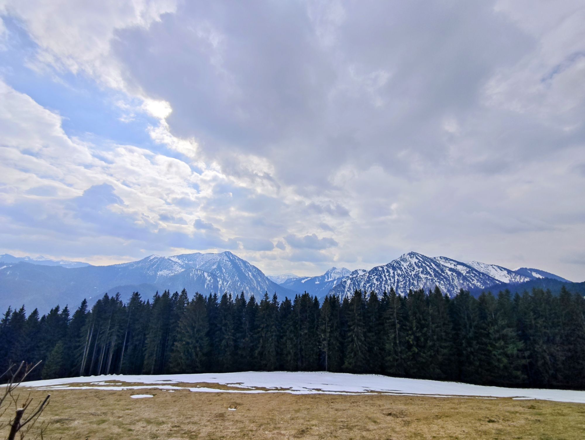
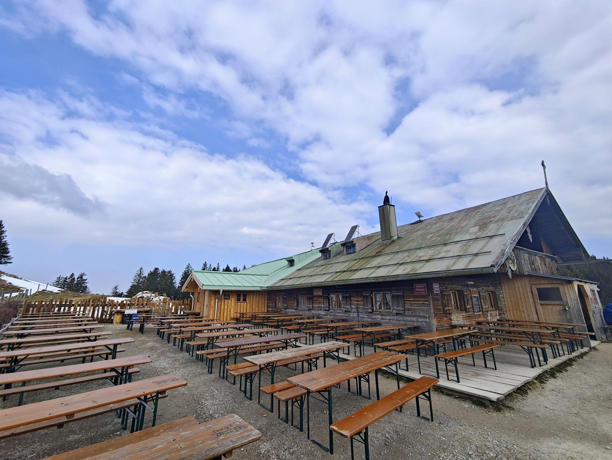
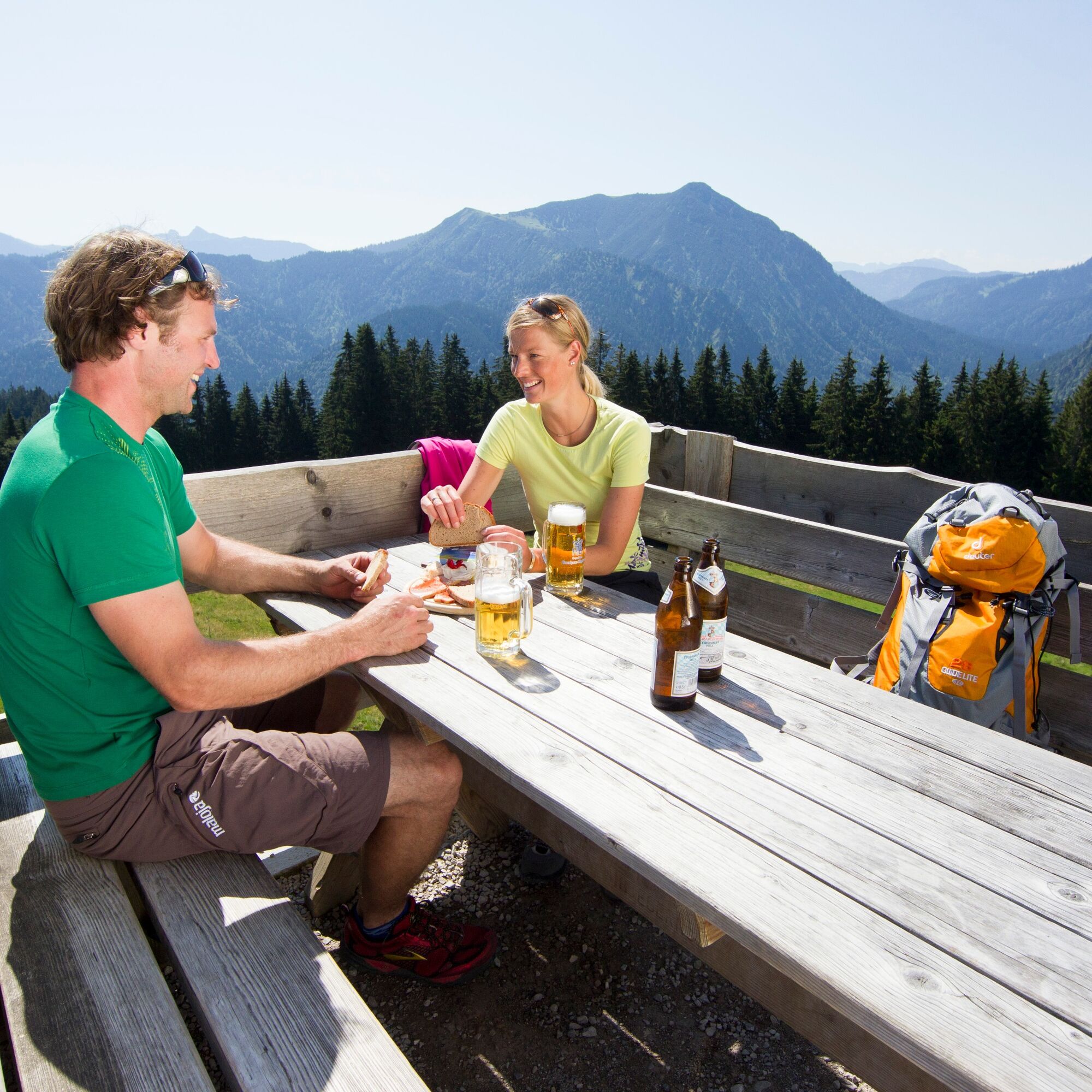
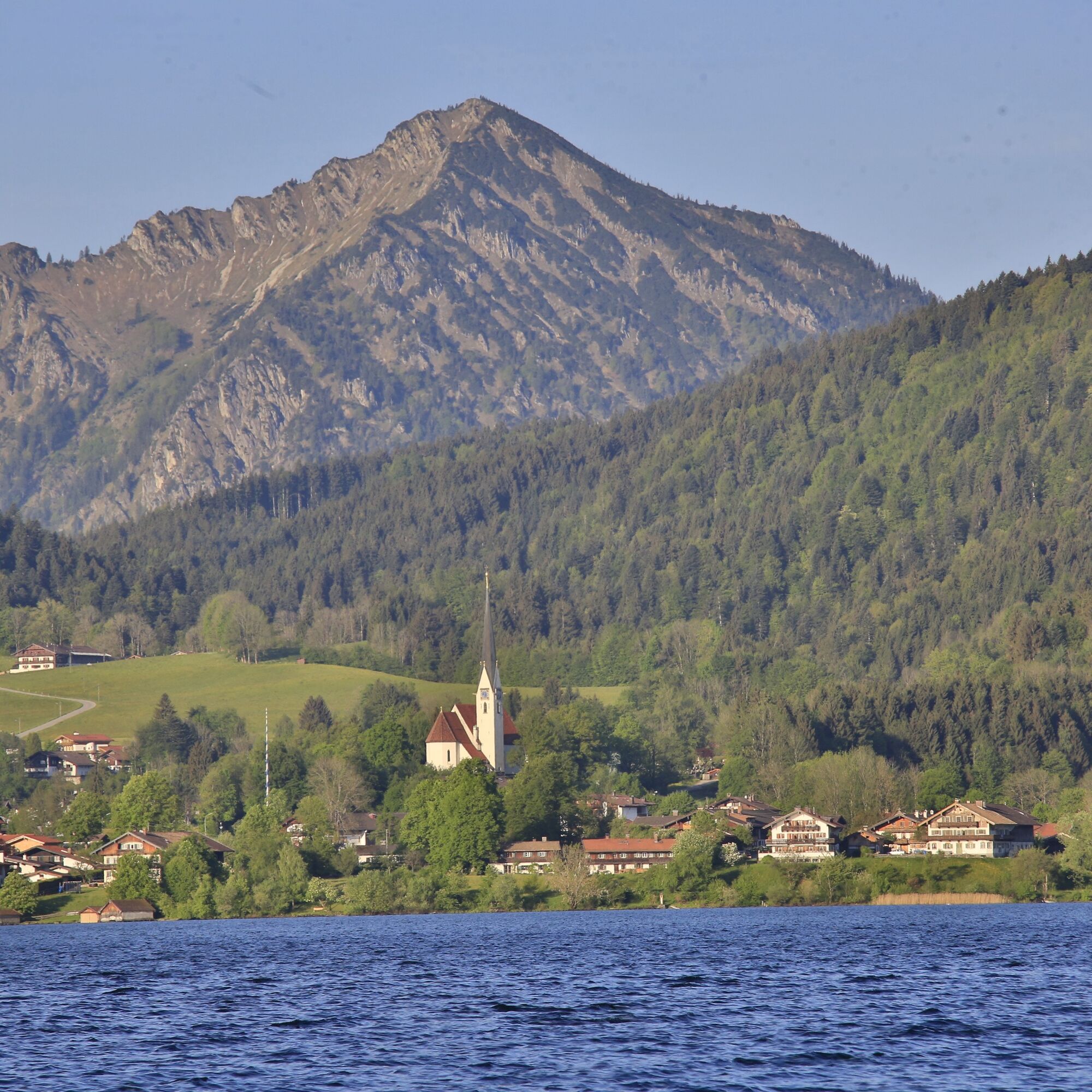
The first section already compensates with a beautiful view of Lake Tegernsee and the surrounding mountains. One should not miss a Tegernseer Hell beer on the sun terrace of the Aueralm. Once in the valley, before the Söllbachklause, there is a short steep "stitch" right up to the "Bucherbauern". The short effort is mainly worth it because of the beautiful view of Lake Tegernsee.
(If you arrived by train, you could then immediately cross the main street and descend to the lake. Via the "lake circular path for cyclists" you reach the Gmund station after half an hour and 7 km.)
We stay on the main road to the right towards Kreuth, follow it a short stretch to the Ringsee, and then turn left onto the cycle path to Rottach-Egern.
At the gravel plant, we turn left again, cross a bridge, and then follow the Weißach upstream.
From the district of Trinis, a wide cycle path runs directly through the nature reserve "Weißachauen" back to the village of Kreuth.
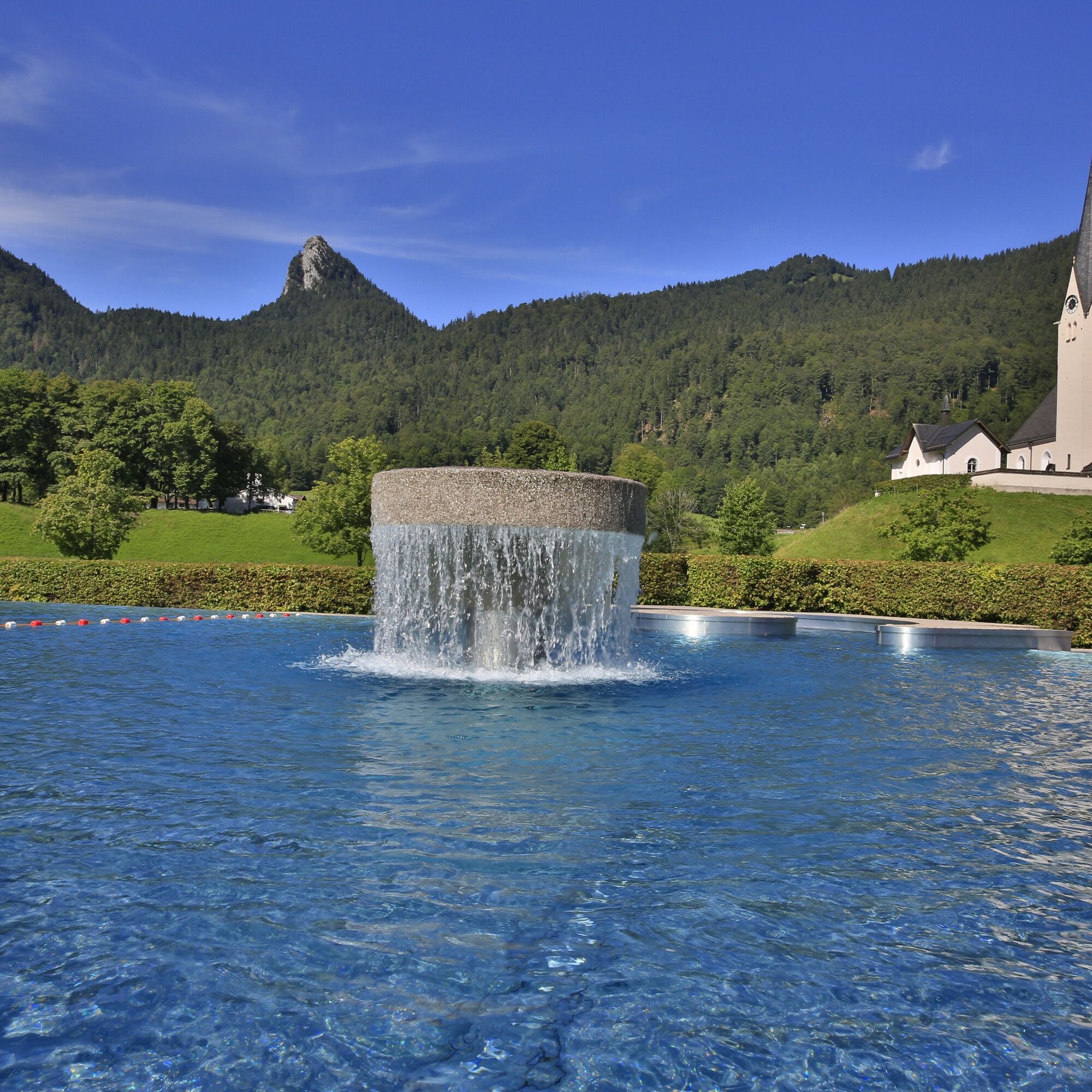
Once there, many cozy inns and a beautiful warm outdoor pool invite you to stay longer.
Please do not use the footpaths along the Weißach dam and watch out for pedestrians on the forest roads.
Alternative via Bad Tölz:
From Lenggries continue on the Isar cycle path to Bad Tölz and then via the Lake Constance-Königssee cycle path back to Lake Tegernsee
In this variant, you stay on the Isar cycle path from Lenggries to Bad Tölz. After visiting the beautiful pedestrian zone in Marktstraße, you could also climb up Calvary Hill and visit the Leonhardi Chapel as well as the Holy Cross double church.
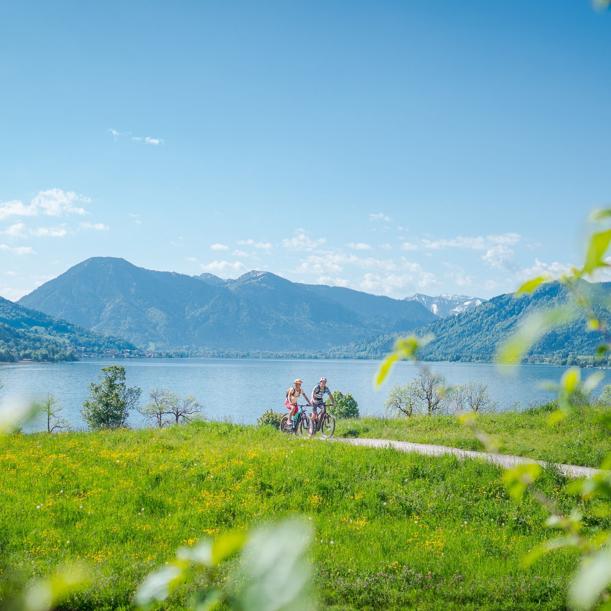
From there, you have a particularly beautiful view of the Isarwinkel. Then it goes to Gaißach and via the Lake Constance-Königssee cycle path back to Lake Tegernsee. Upon arrival in Gmund, you can circle the lake via the town of Tegernsee on the lake cycle path, or directly via the district of Holz to Bad Wiessee and back to Kreuth.
This variant could also be ridden with a good touring bike if you manage on a rougher gravel road.
Especially the section between Gaißach and Marienstein is somewhat stony to ride.
This variant has a total of 87 km and 700 m of elevation gain.
Download Variant: Section Lenggries via Bad Tölz
We recommend wearing a bicycle helmet and a technically sound bike. Please remember provisions, tools, mobile phone, change of clothes, and a first aid kit.
You can rent and charge e-bikes at many service stations in the Alpine region Tegernsee Schliersee. The addresses of rental and charging stations can be found at www.tegernsee-schliersee.de.
All information without guarantee. Walking and cycling the described routes is at your own risk; please also observe any temporary trail closures.
Besides nature, always be considerate of others. For example, mutual respect between mountain bikers and hikers is essential to avoid unnecessary accidents and ensure a wonderful nature experience for everyone.
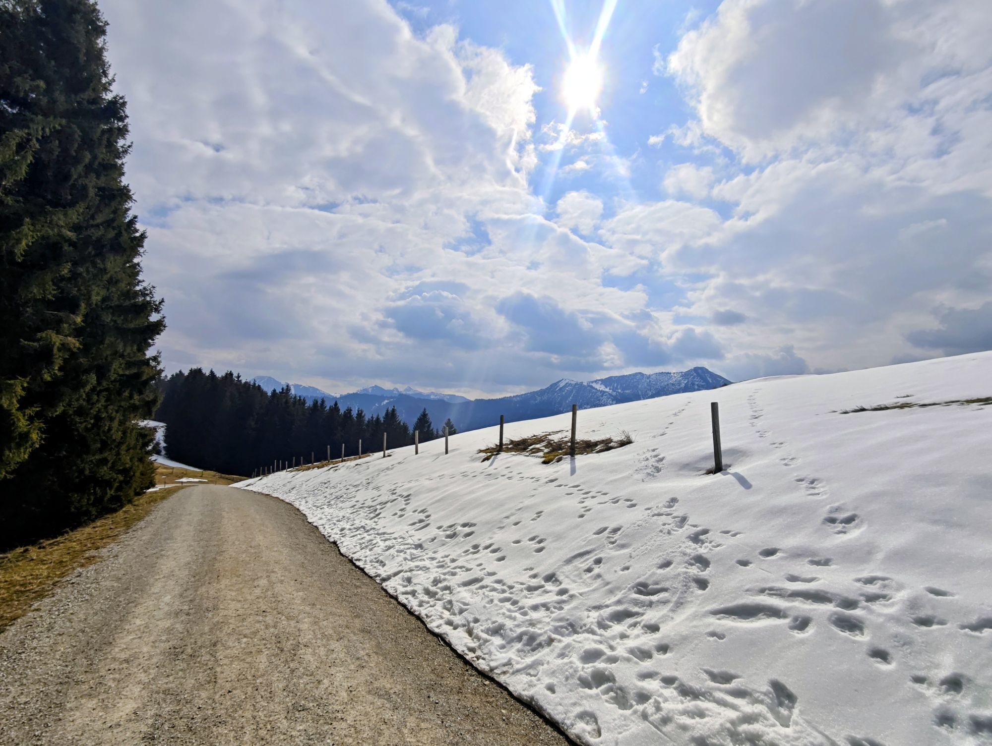
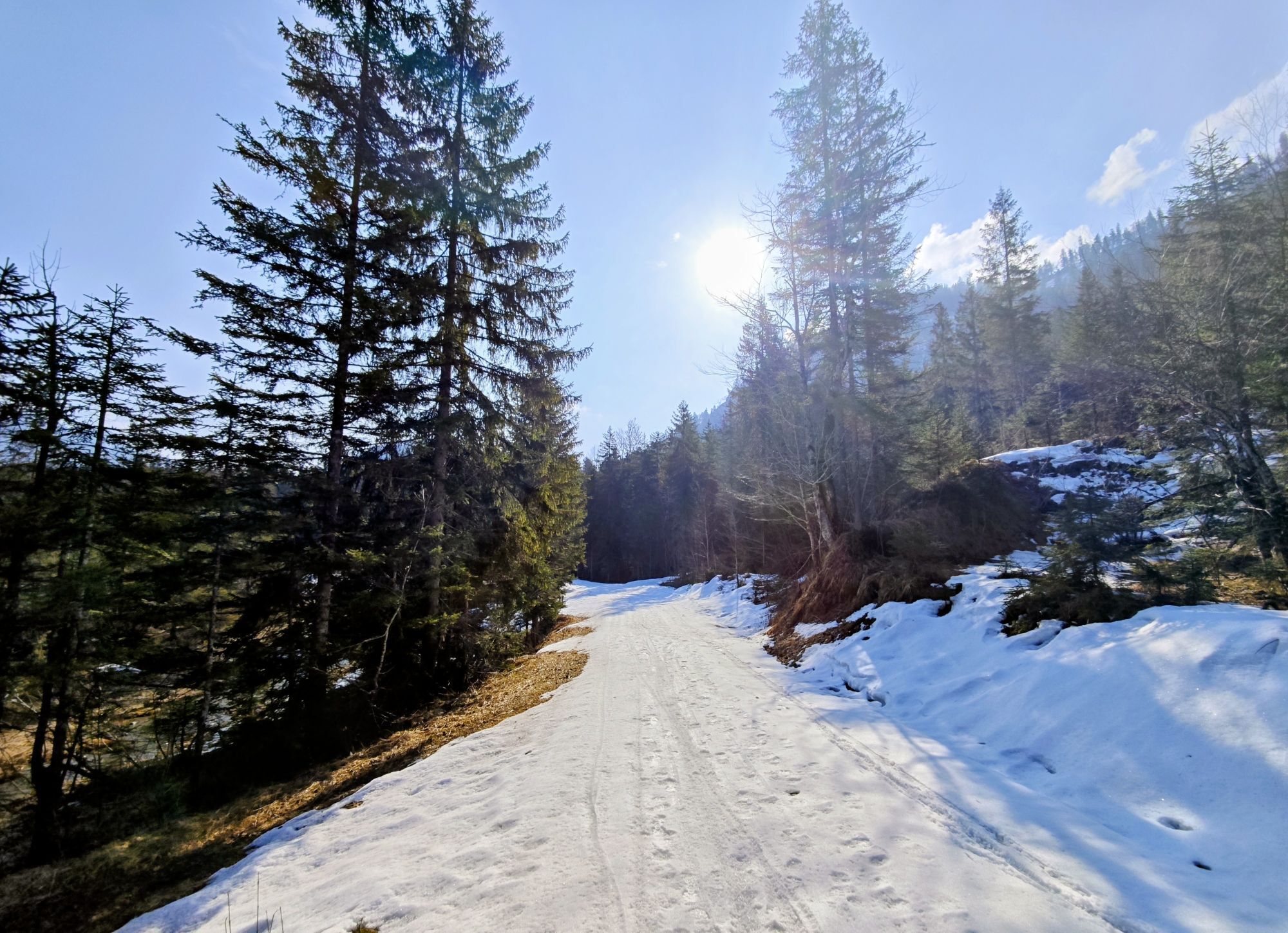
At the beginning of May, after a snowy winter, snow sometimes remains fairly long between the Hirschtalsattel and the Neuhüttenalm.
Please consider this in your route planning.
A8 motorway to Holzkirchen exit, via B318 and B307 to Kreuth.
Arrival by bike and the Bavarian Regiobahn is easily possible up to Tegernsee station.
From Tegernsee, continue with the MTB to Rottach-Egern. From there, you already meet the circular route at the Weißach bridge.
Through the Weißachau nature reserve, it then continues to Kreuth, the actual starting point of the route.
After the ride, you can either ride directly via the cycle path to the station in Gmund from Bad Wiessee, or from Ringsee, directly along the lake via Rottach-Egern to Tegernsee station.
If the weather changes during the tour, you can return to Lake Tegernsee from Lenggries or Bad Tölz by BRB.
Here you can find the current timetable information.
Bicycle transport is permitted on the BRB, please note the following information.
Paid parking lot in Kreuth-Riedlern at the mini-golf course.
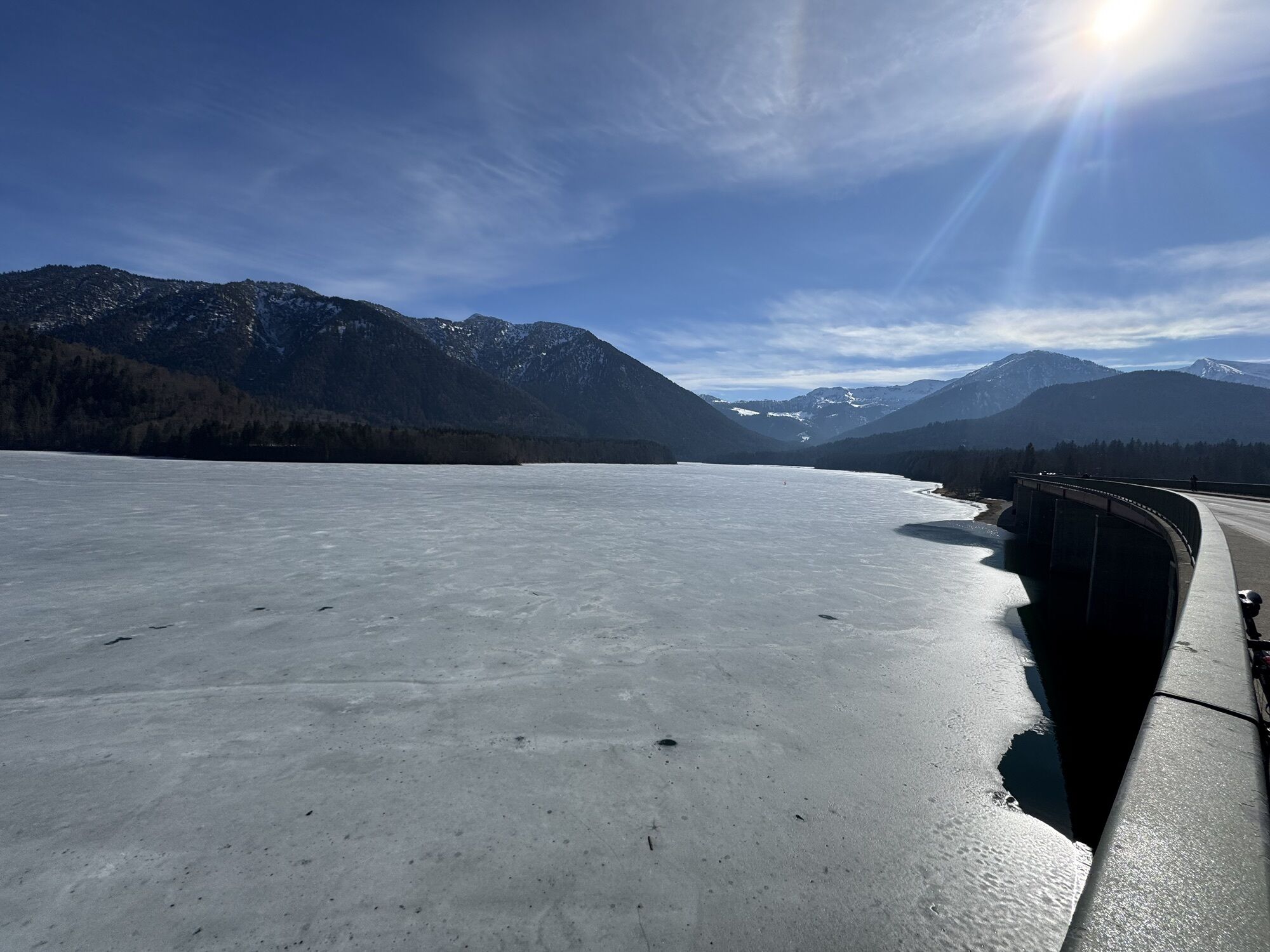
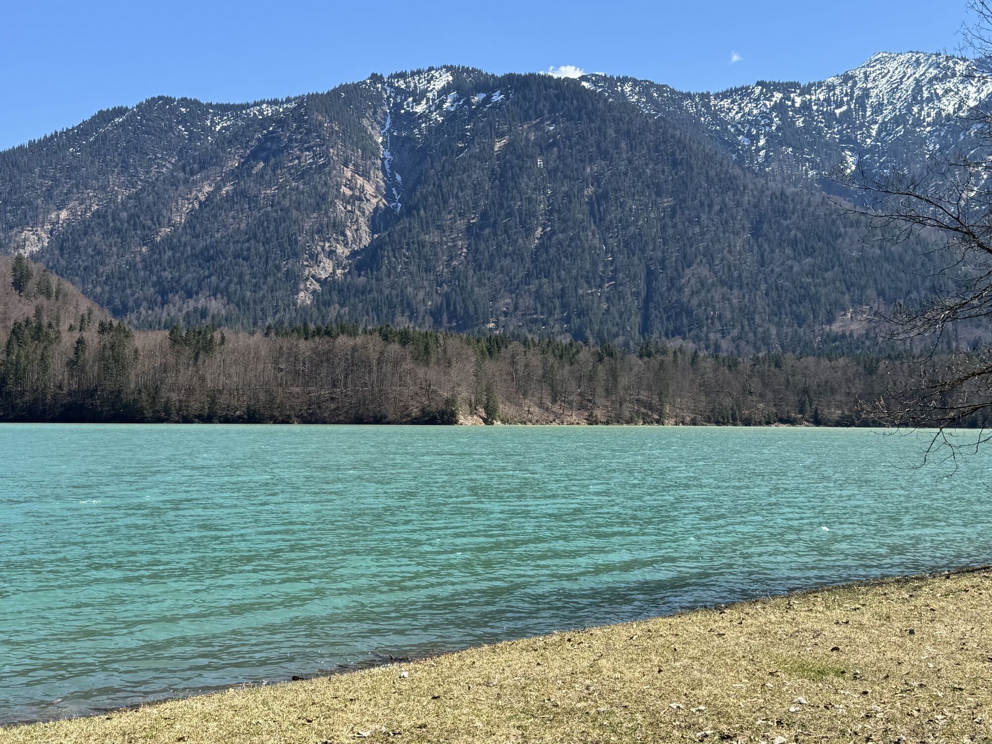
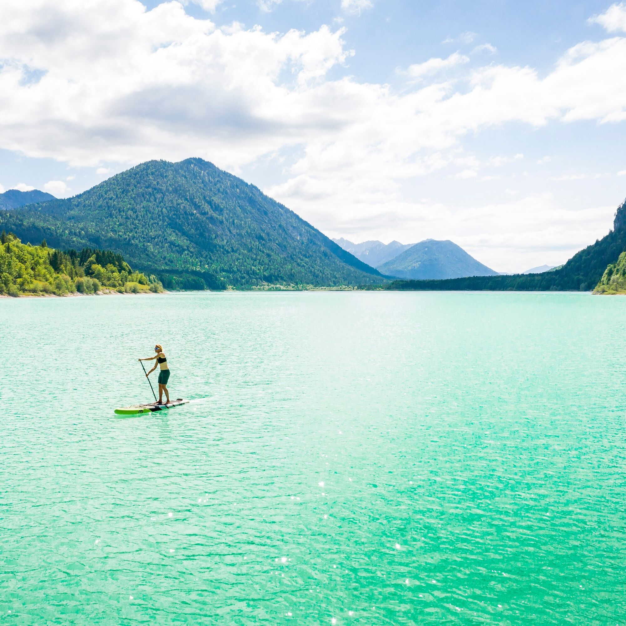
Take your swimming clothes with you to Sylvensteinsee.
Webové kamery z prohlídky
Brauneck - Draxlhang
Streidlhang
Wallbergbahn
Kreuth
Tegernsee
Hirschberglifte
Bergstation Brauneck
Bergstation Brauneck
Bergstation Brauneck
Bergstation Brauneck
Bergstation Brauneck
Bergstation Brauneck
Wallberg - Wallbergkircherl
Prasserbad - Rottach-Egern am Tegernsee
Tegernseer Hütte
Rottach - Egern / Cafe Angermaier
Sonnenbichl Bergstation
Kreuth
Tegernsee West
Wallbergbahn
Wallbergbahn
Wallbergbahn
Wallbergbahn
Wallbergbahn
Sylvensteinspeicher
BayernHütte am Brauneck
Beachplätze TV Lenggries
Brauneck Ahorn
Lenggrieser Bergcamping
Yacht-Club Bad-Wiessee e.V.
Oblíbené prohlídky v okolí
- 5,0
Summit route to the Wallberg
středníTuristika 12,2 km - 4,8
Lengrieser Hütte
středníTuristika 10,6 km - 4,2
Tegernsee Höhenweg - North
světloTuristika 12,3 km - 4,7
Aueralm/Zwerglberg
středníTuristika 11,9 km - 3,7
Aueralm und Fockenstein
středníTuristika 14,1 km - 4,6
Königsalm
středníTuristika 10,0 km - 4,3
Heiglkopf-Blomberg-Zwiesl Wackersberg, Bayern
světloTuristika 12,6 km - 4,6
Brauneck zum Latschenkopf Rundweg
středníTuristika 6,30 km - 4,7
Leonhardstein
středníTuristika 8,17 km - 4,1
Blauberg - Überschreitung
heavyTuristika 17,4 km
Pěší turistika a stopování


Nenechte si ujít nabídky a inspiraci pro vaši příští dovolenou
Vaše e-mailová adresa byl přidán do poštovního seznamu.