


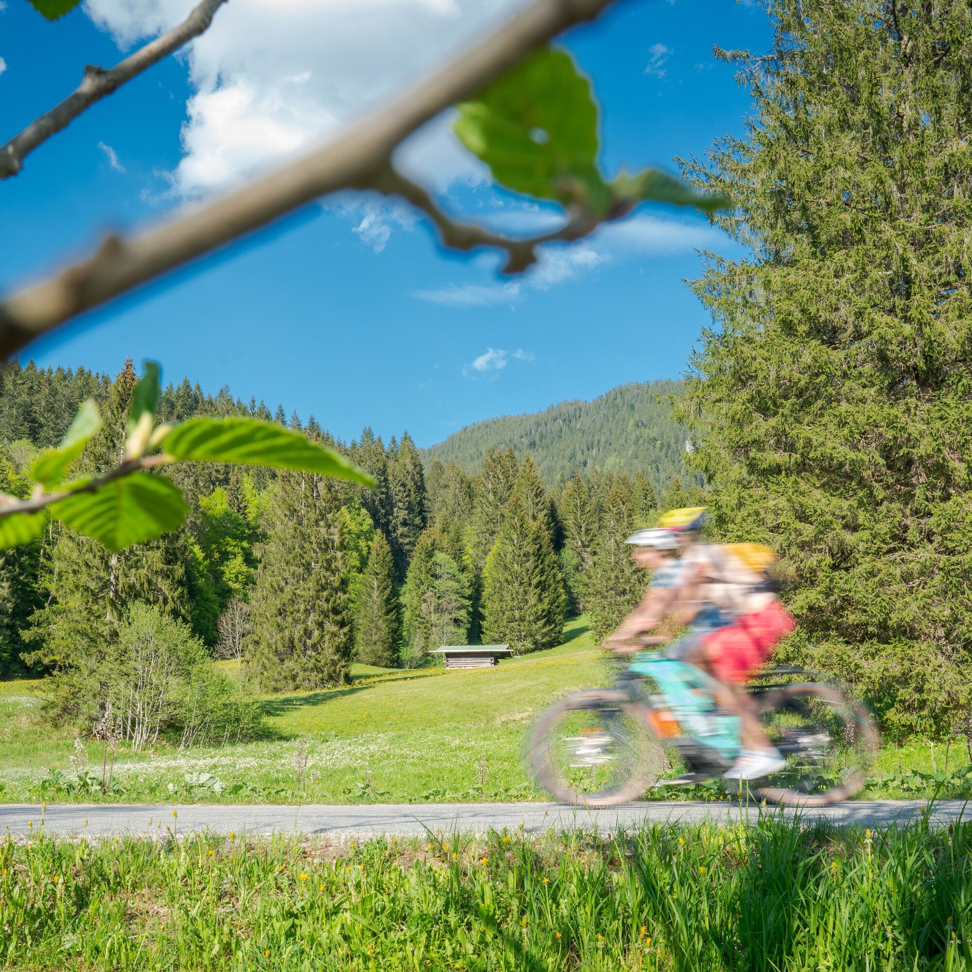
3-Lakes-Route Tegernsee-Spitzingsee-Schliersee
Úroveň obtížnosti: 2

Actually, there are even four lakes along the route if you include the small Suttensee. The section on the toll road along the Rottach uphill into the Sutten area is particularly popular. Afterwards, the...
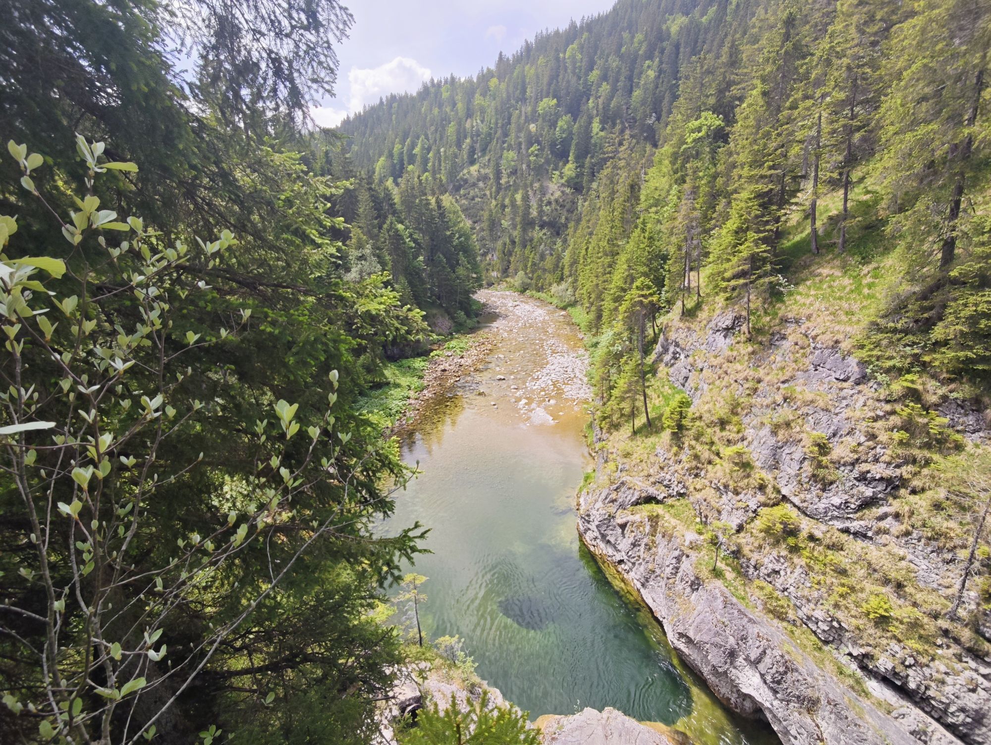
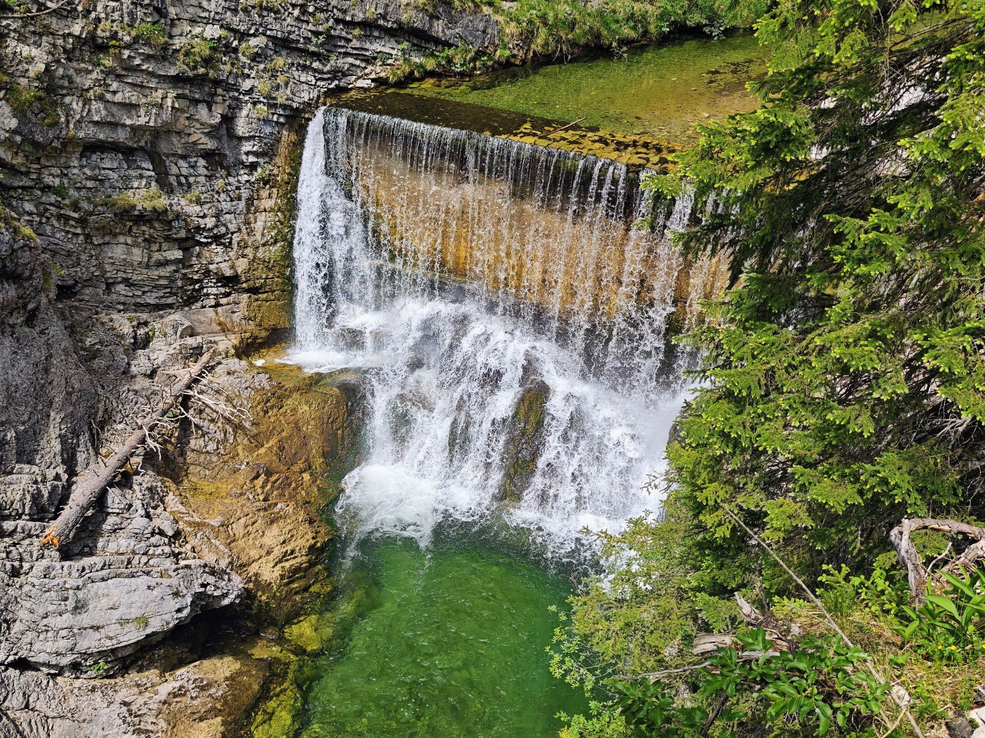
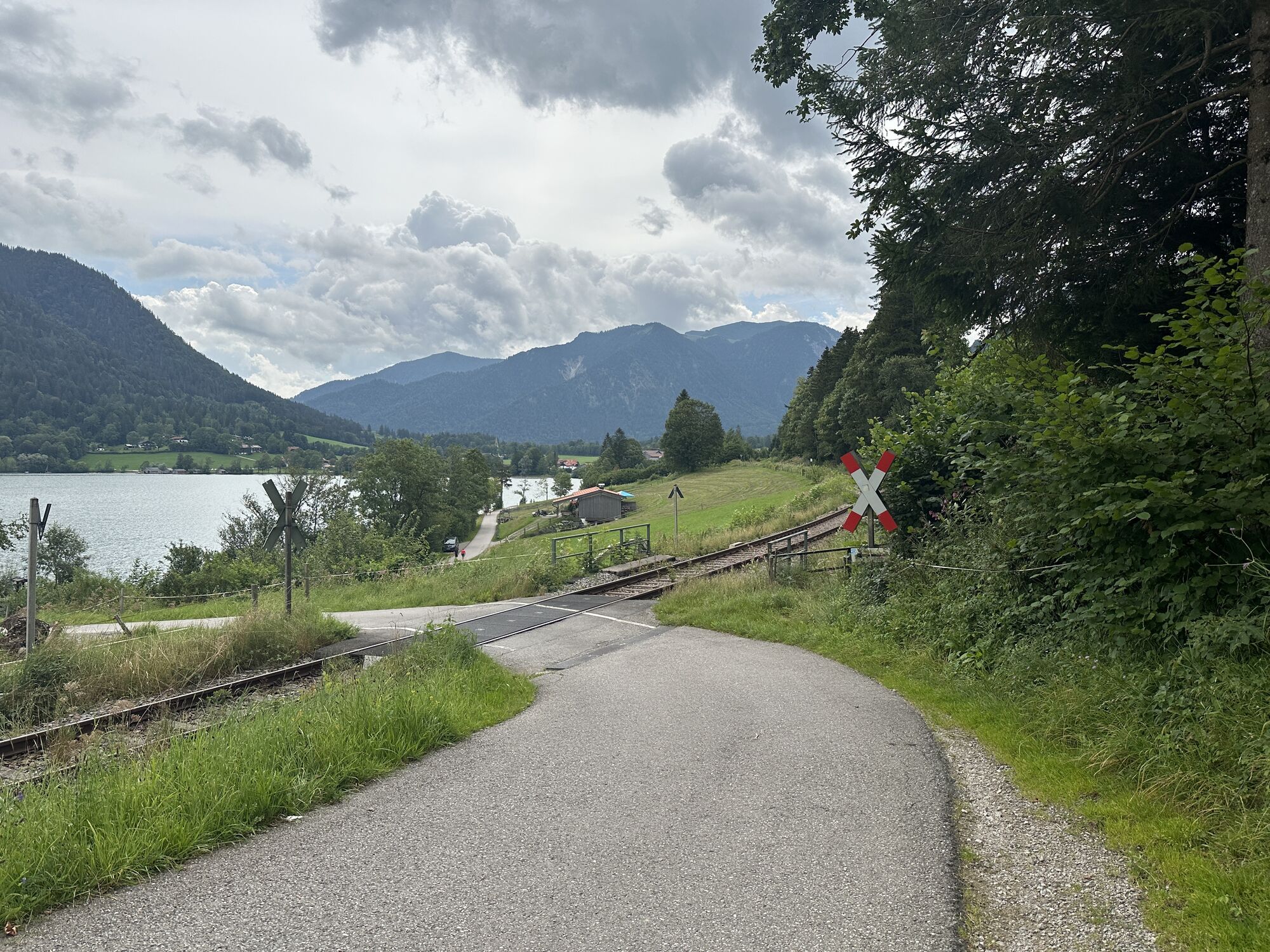
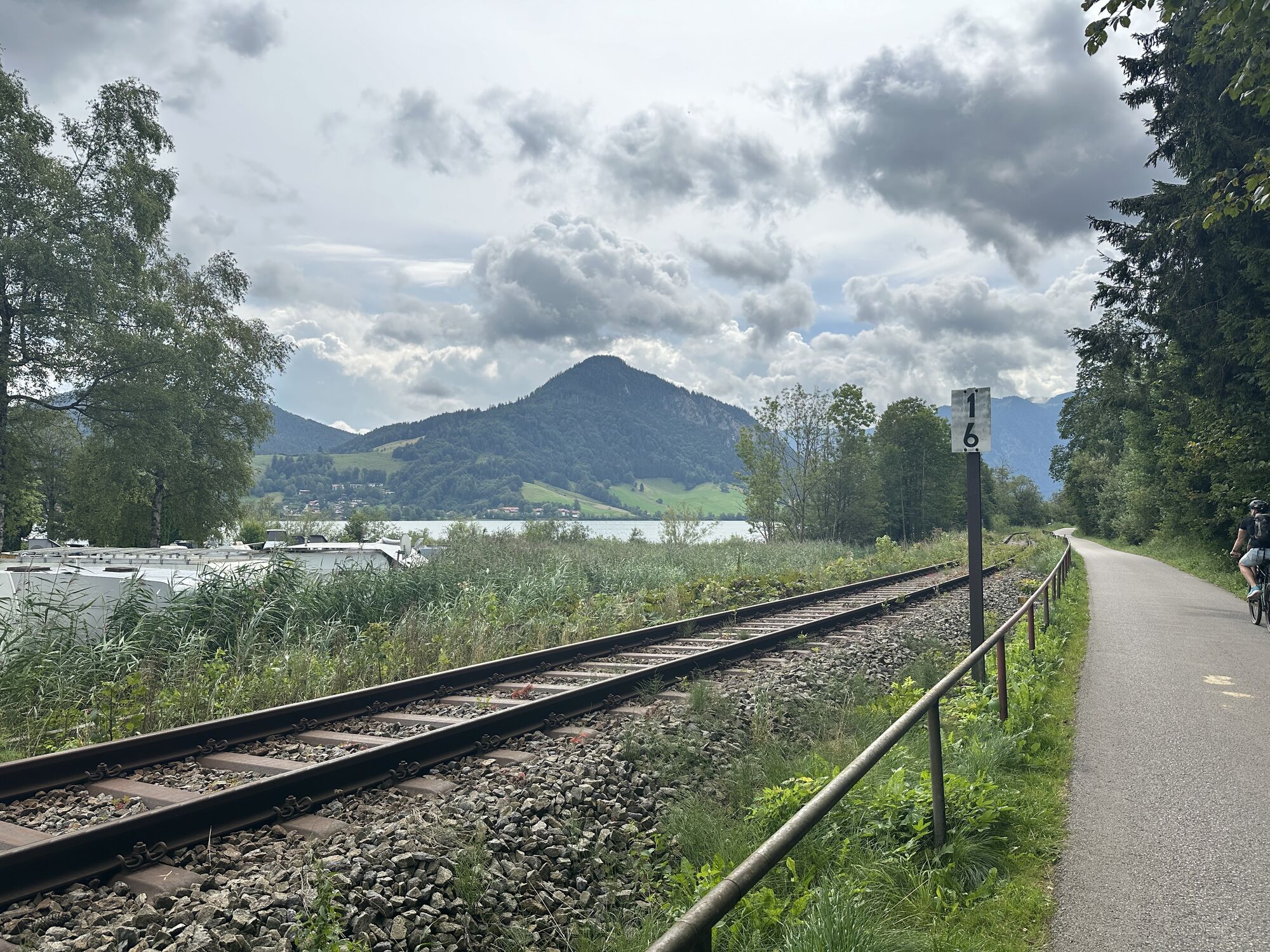
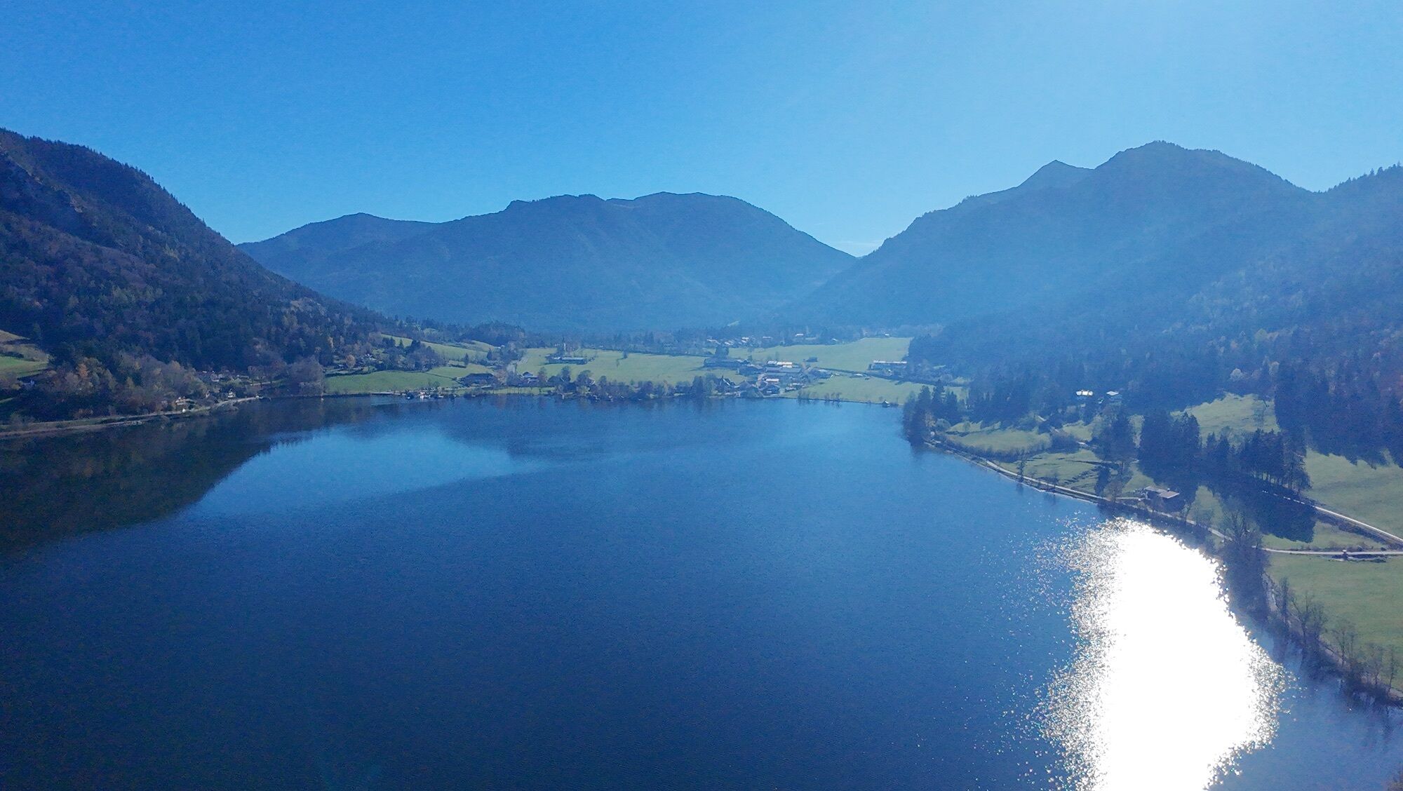
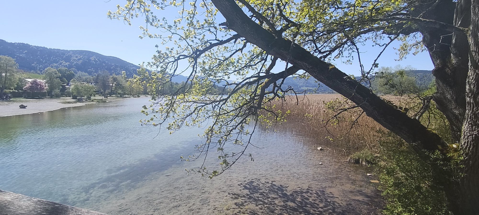
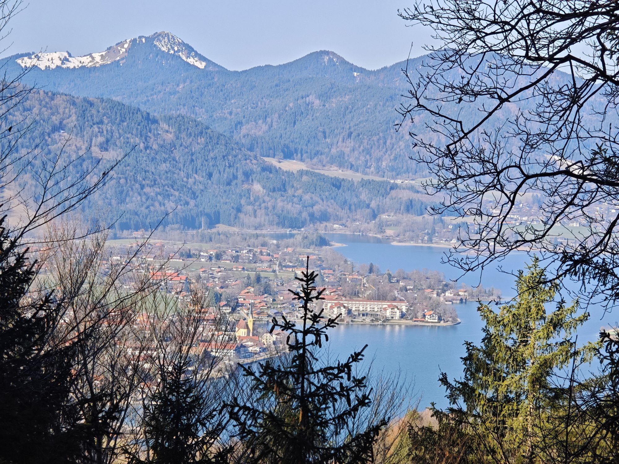
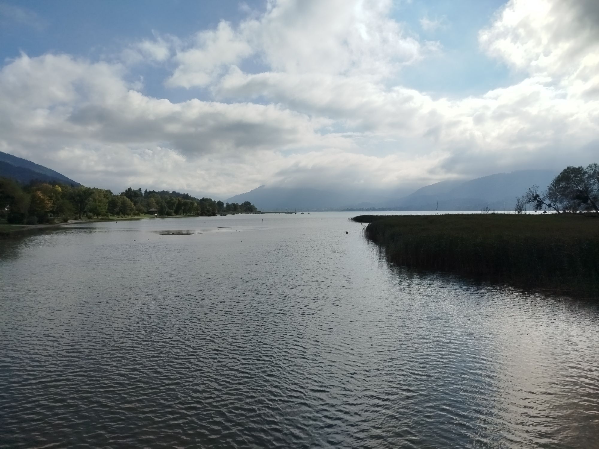
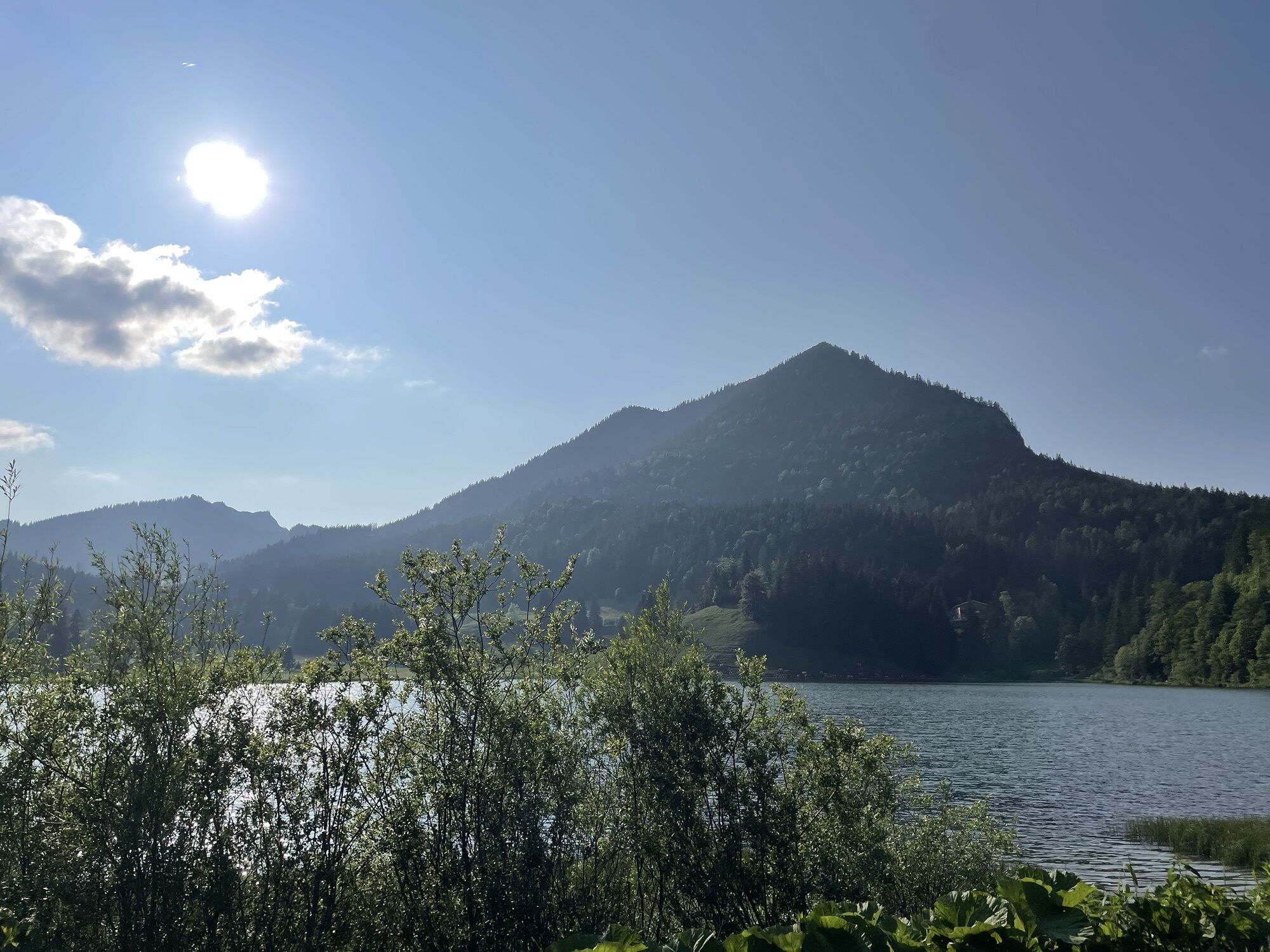
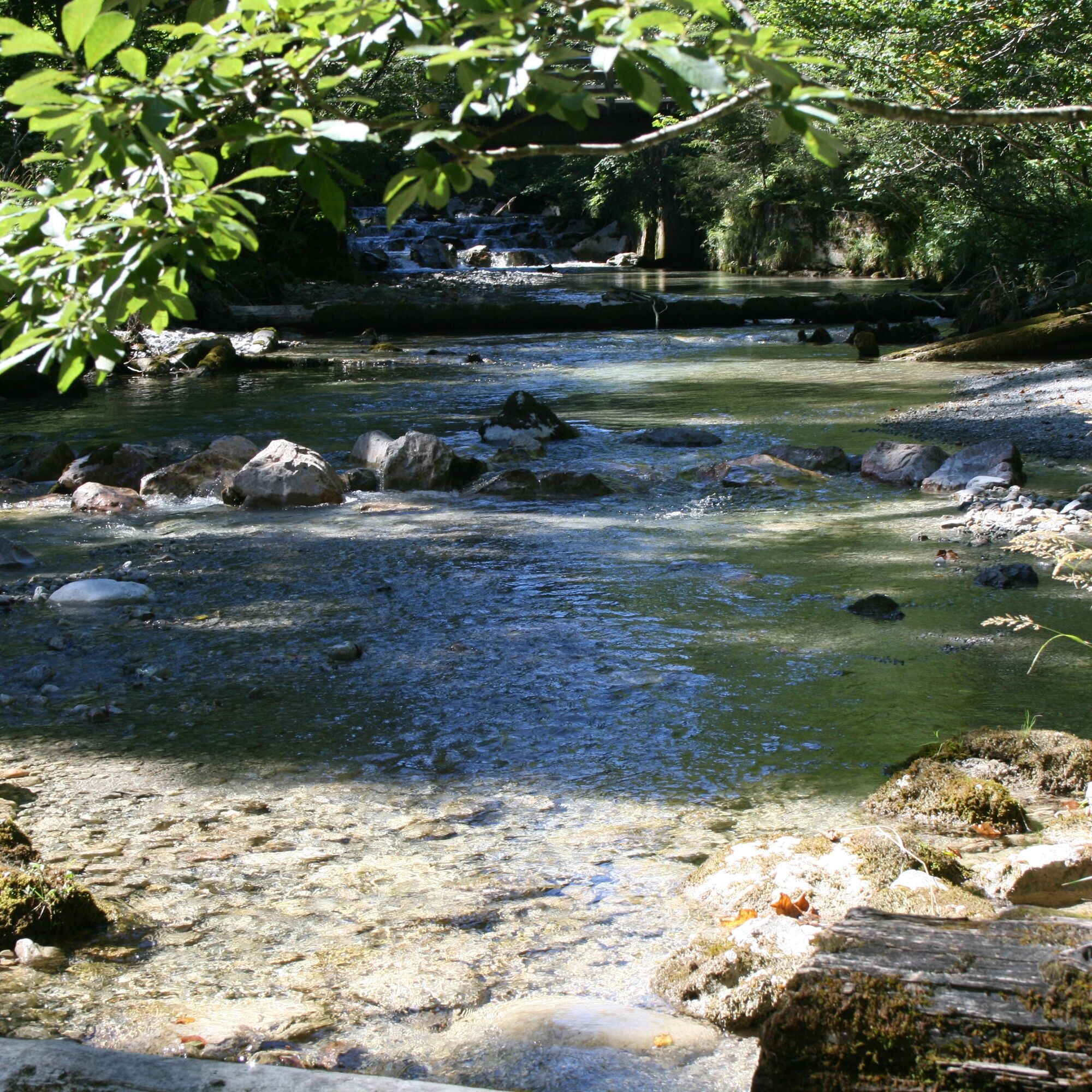
Actually, there are even four lakes along the route if you include the small Suttensee. The section on the toll road along the Rottach uphill into the Sutten area is particularly popular. Afterwards, the route goes downhill along the white Valepp to the Forsthaus Valepp. The road now follows the red Valepp slightly ascending to Spitzingsee at 1,084 meters. The highest point of the route is the Spitzingsattel at 1,128 meters. From there, it goes steeply downhill on the Spitzingstraße to Schliersee. The stretch on the west side of Schliersee is only open to cyclists and pedestrians and is therefore especially pleasant to ride. This section follows the Bodensee-Königssee bike path, which leads through Hausham to Gmund am Tegernsee. The ascent on the forest path below Wallenburger Kogel can be bypassed by an alternative on the federal highway to Oberschuß shortly before Ostin (caution, heavy traffic!). Upon arrival at Tegernsee, the route leads on the lake circuit path back to the starting point in the town of Tegernsee.

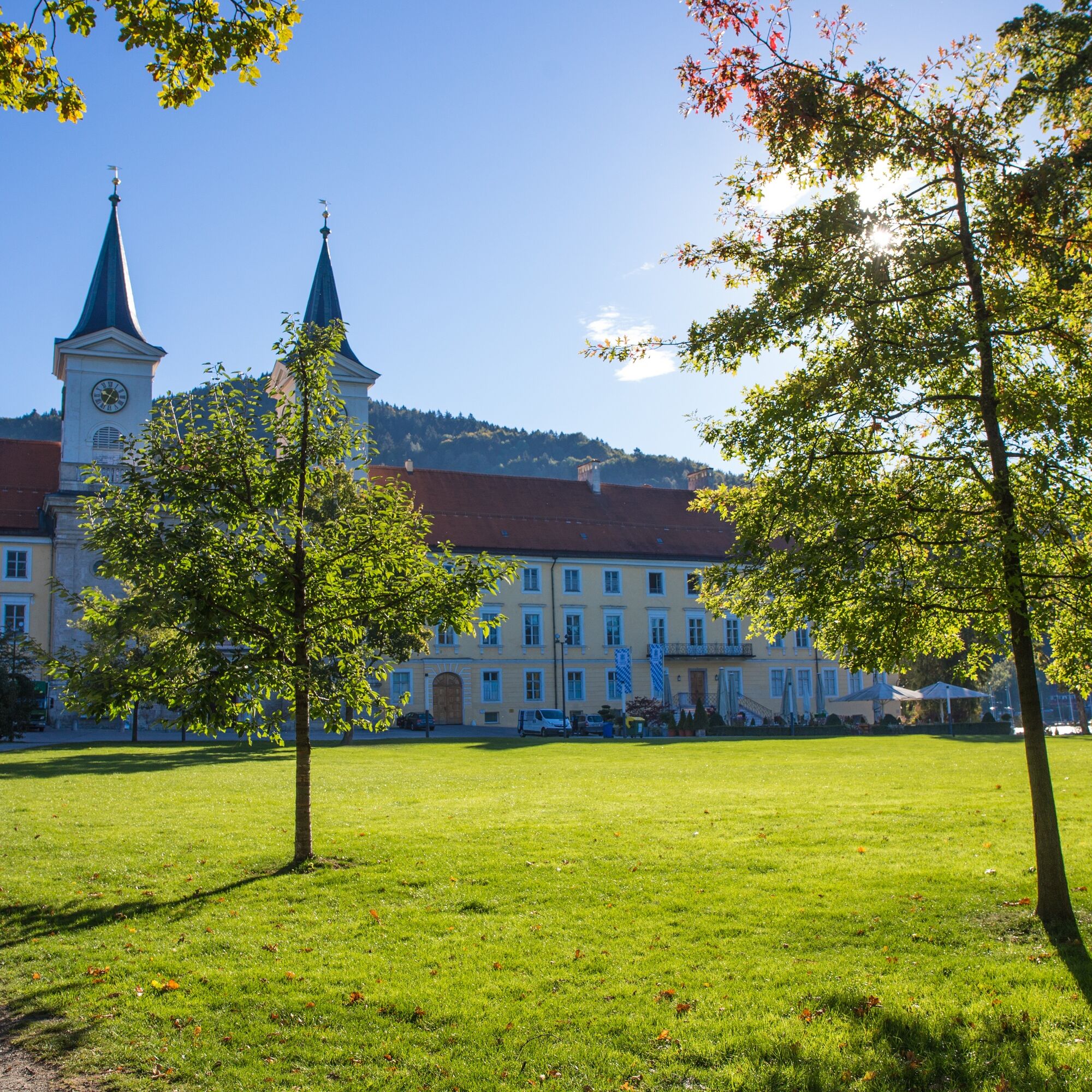
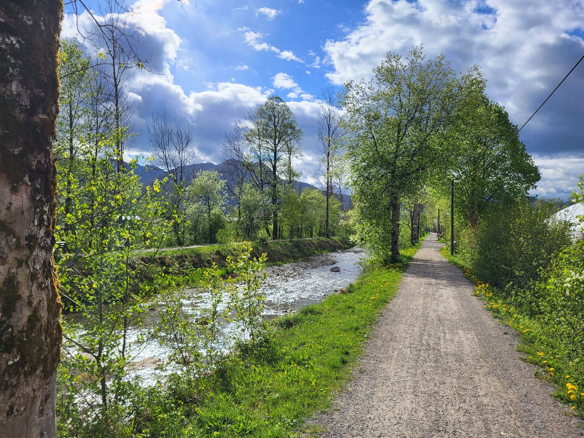
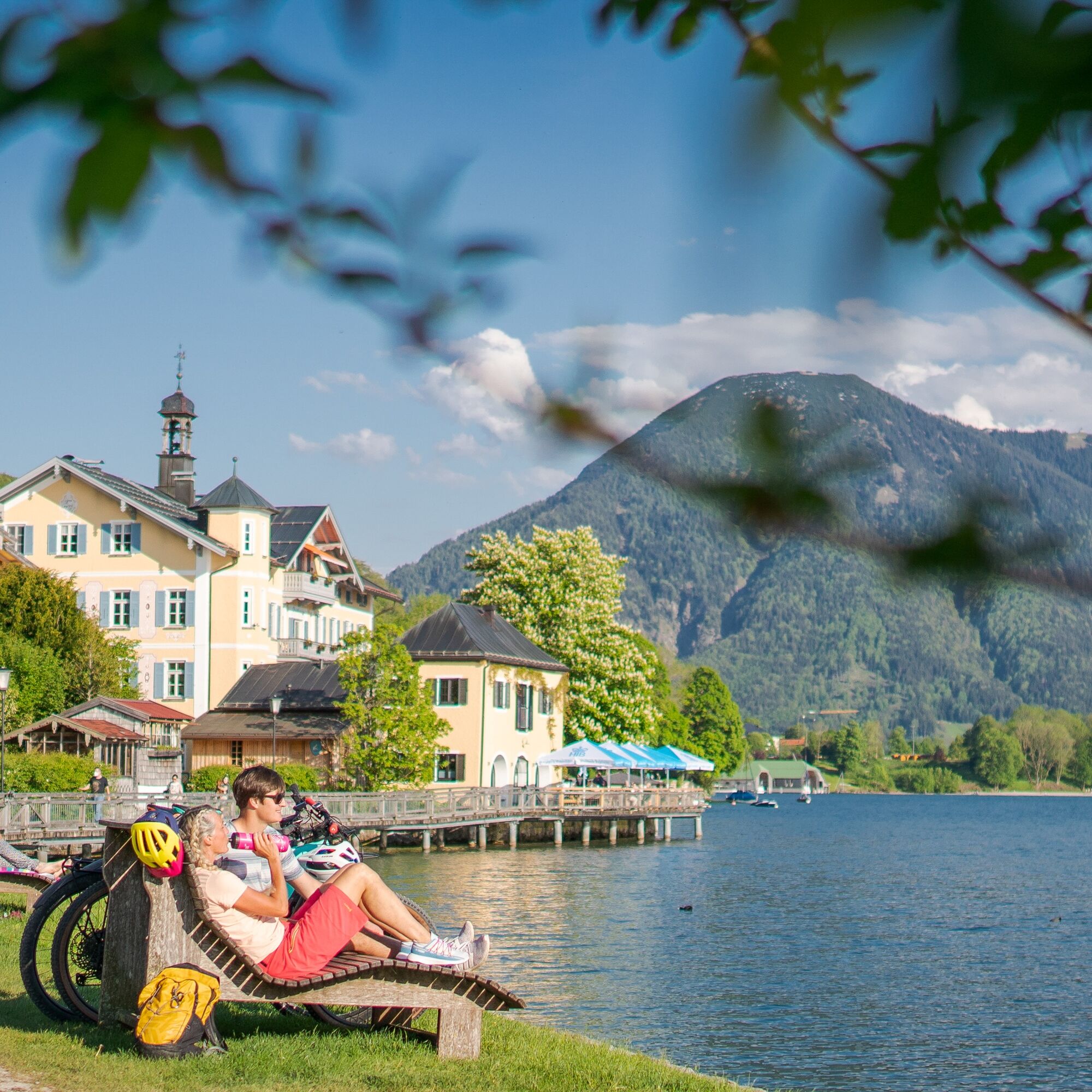
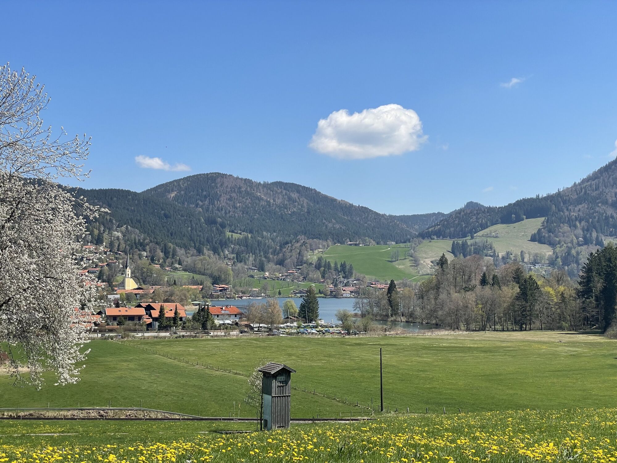
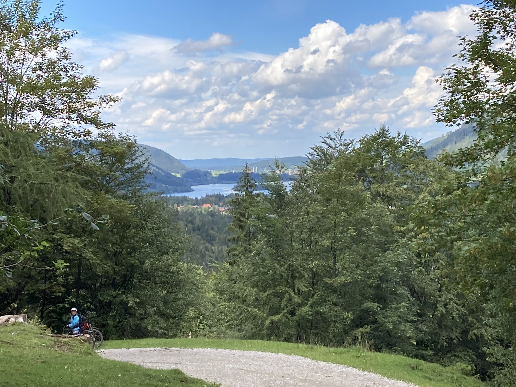
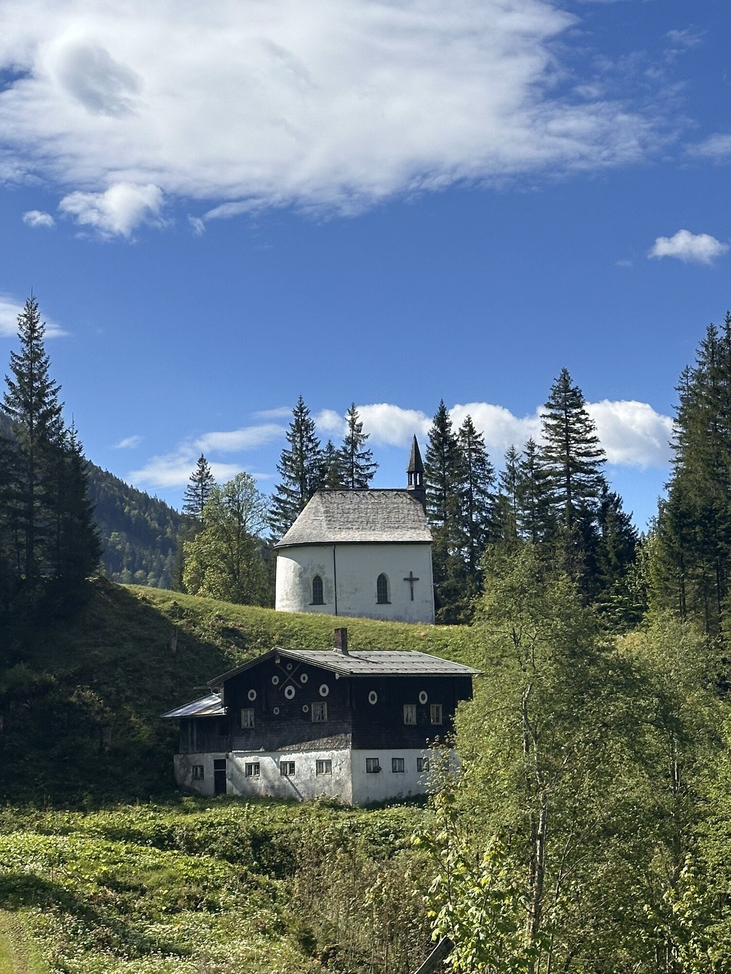
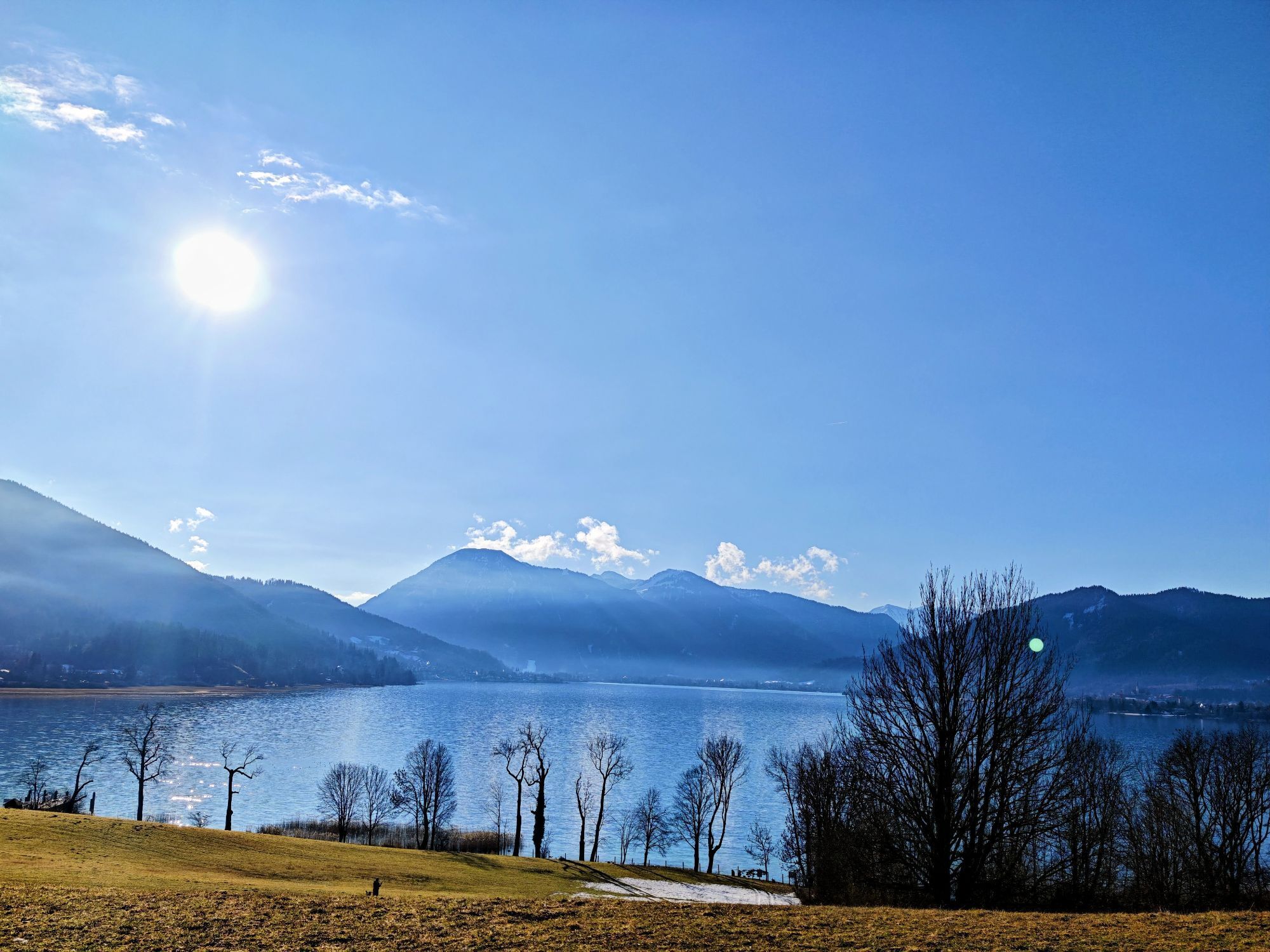
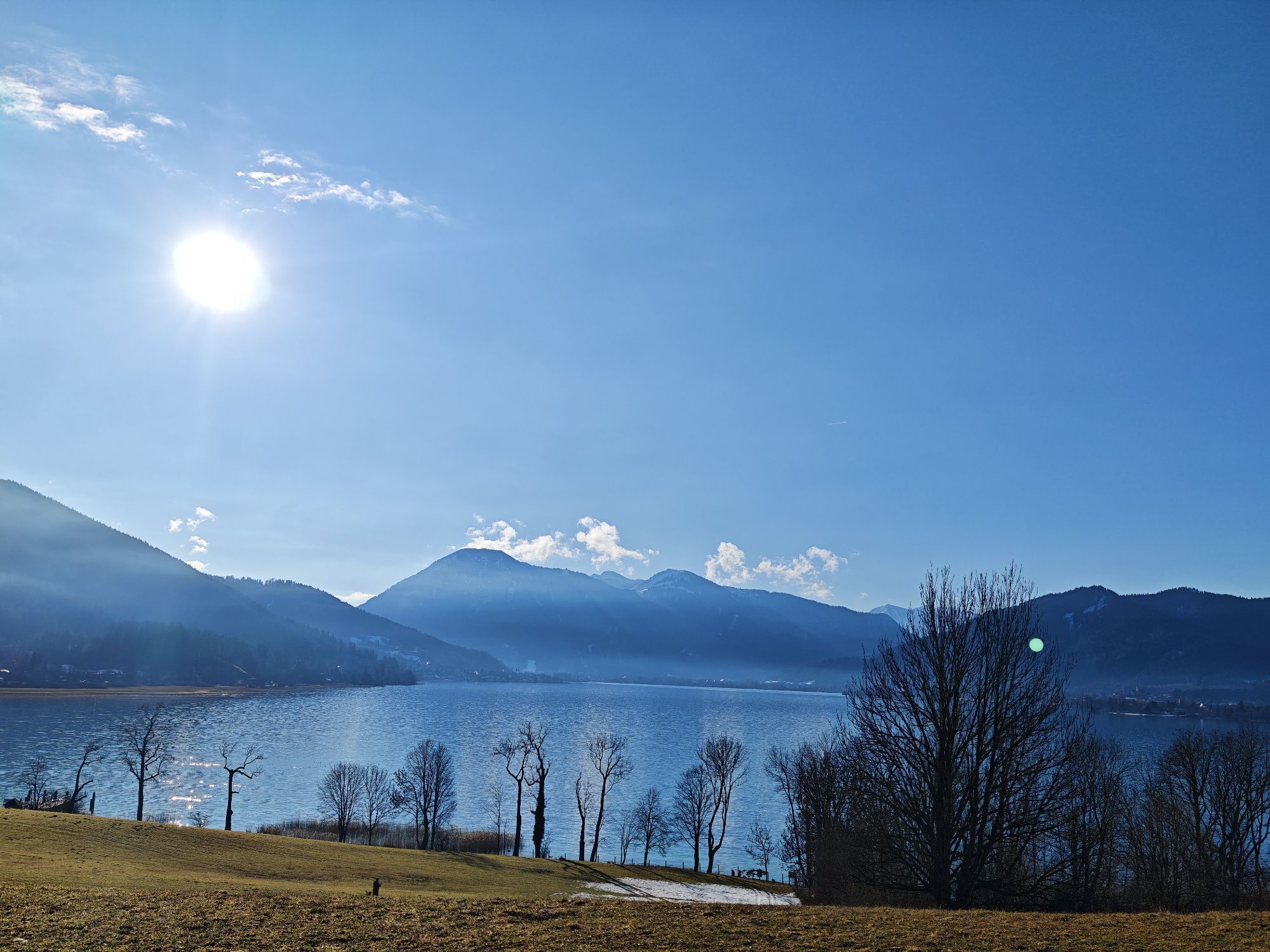
The 3-Lakes-Route can be started from any location along the route. The route described here begins in the town of Tegernsee at the central parking lot. The first kilometers follow the bike path along the federal highway to Rottach-Egern. The municipal boundary between Tegernsee and Rottach-Egern is the Rottach bridge. From there, the path leads along the left riverbank of the Rottach dam path to the district of Kalkofen. After crossing Valepperstraße, turn left onto Ellmauerstraße to the district of Ellmau and the horse chapel. Traditionally, on the last Sunday in August at the horse day, people and animals receive the blessing of the clergy here. Then about 200 horses with historic wagons, carriages, landaus, and chaises proceed to the festival site at the “Museum im Gsotthaberhof.”
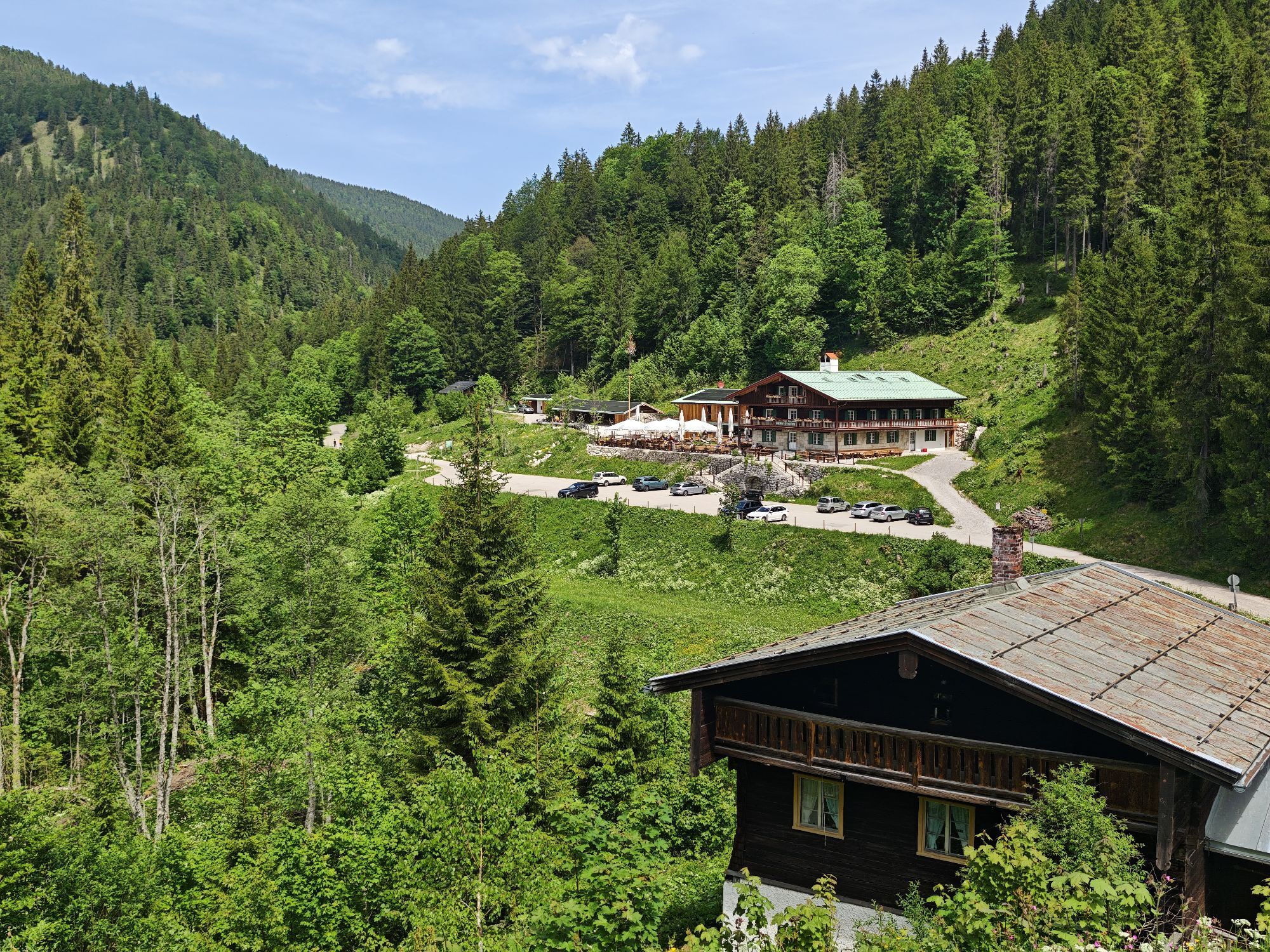
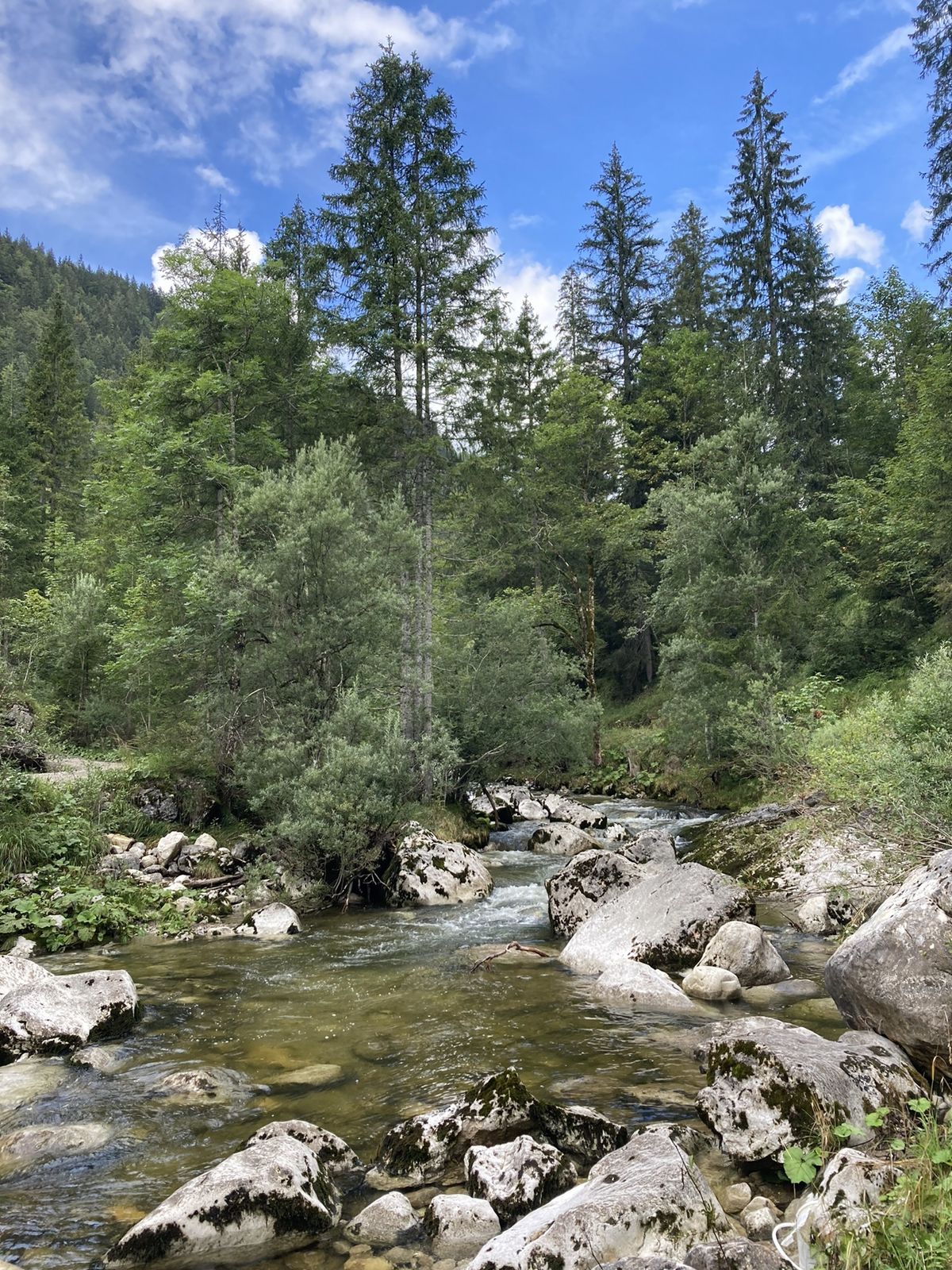
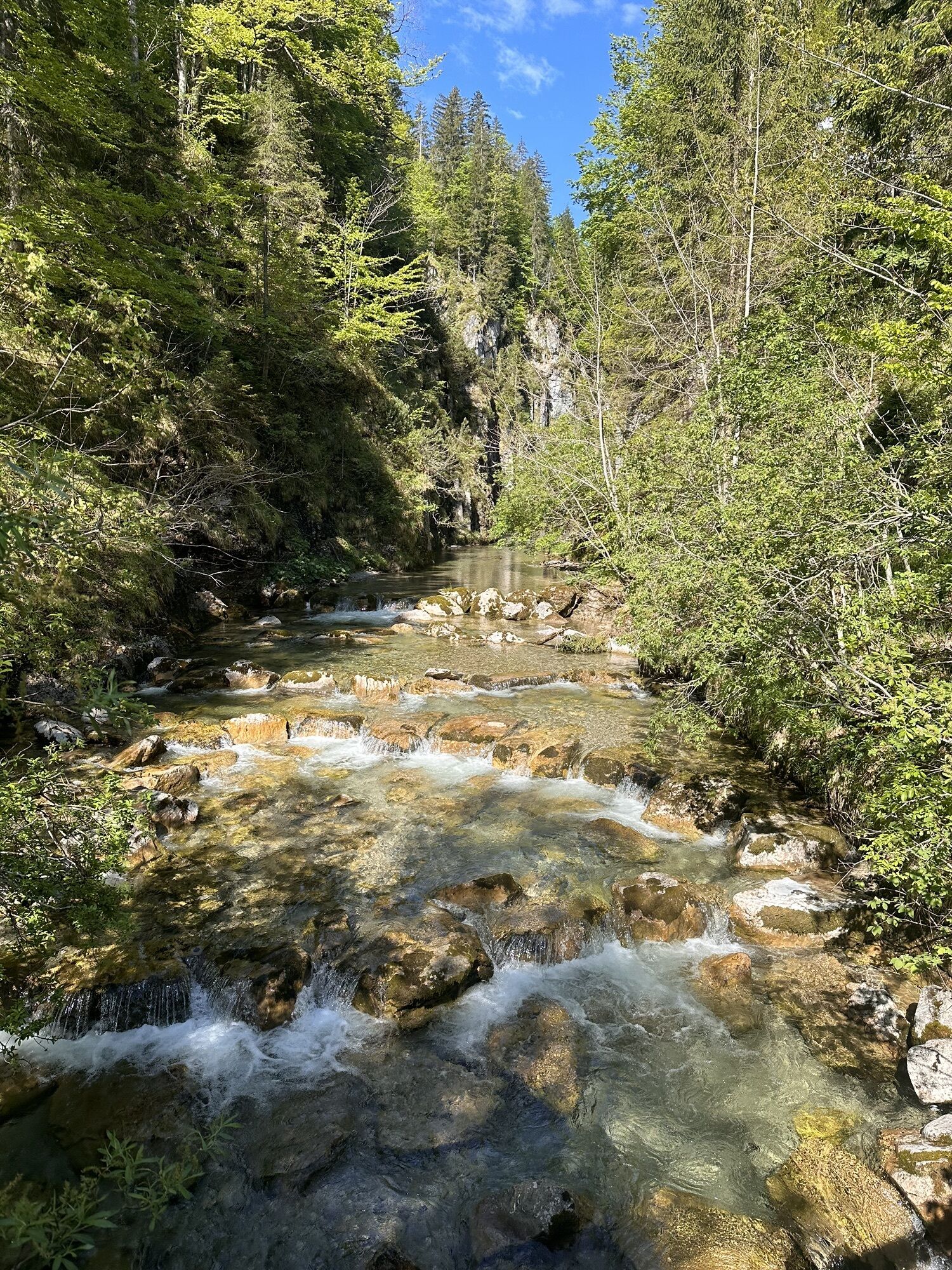
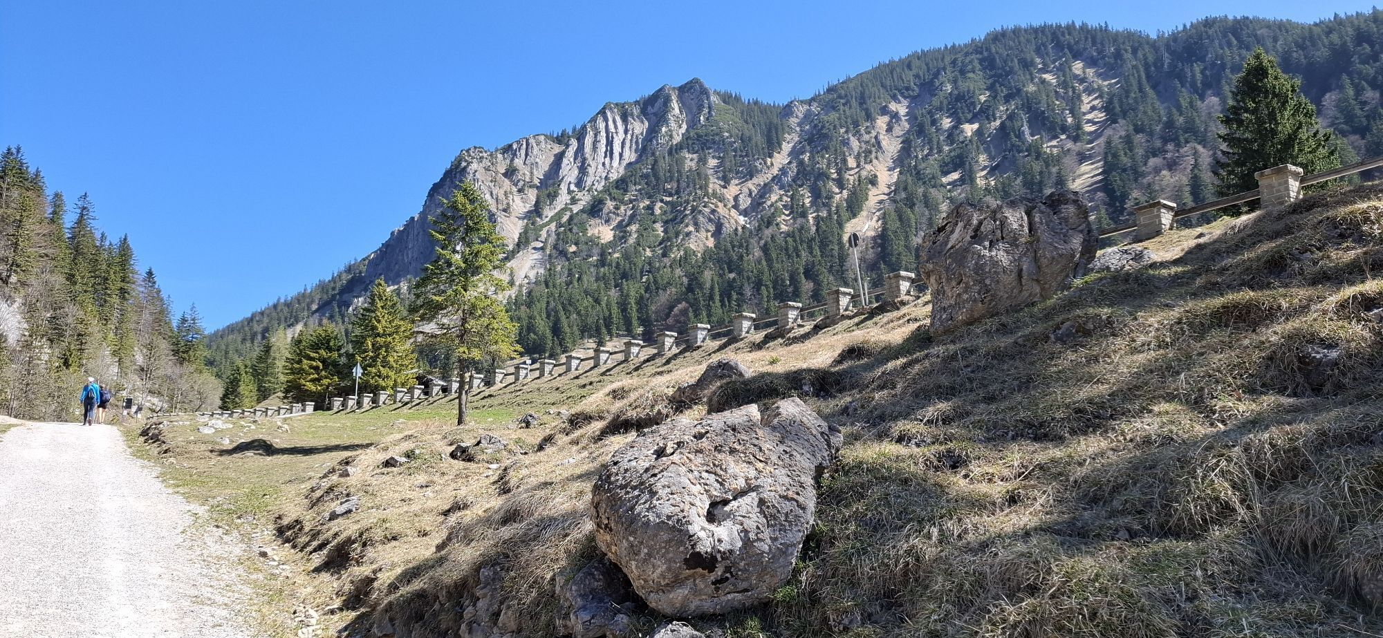
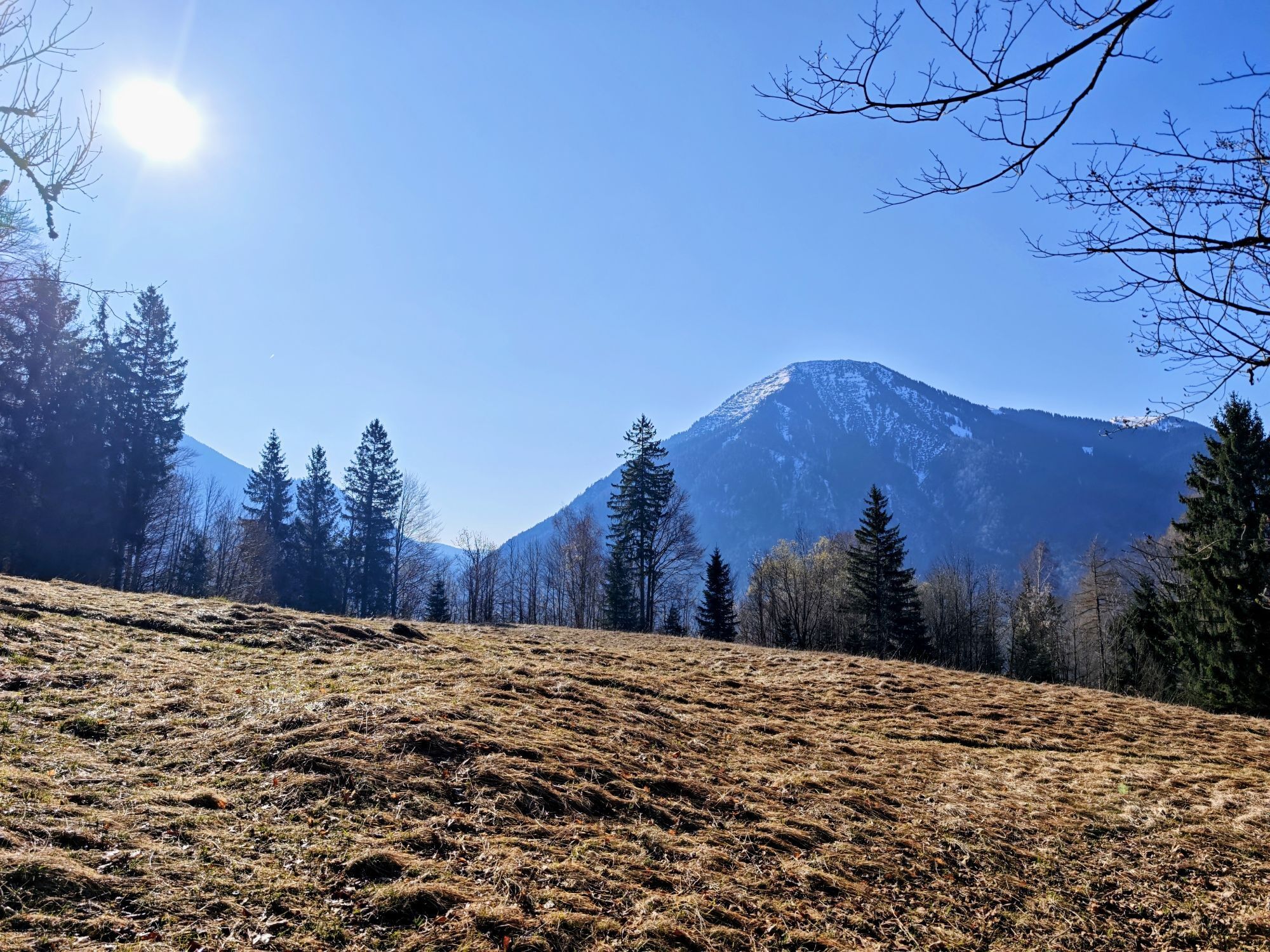
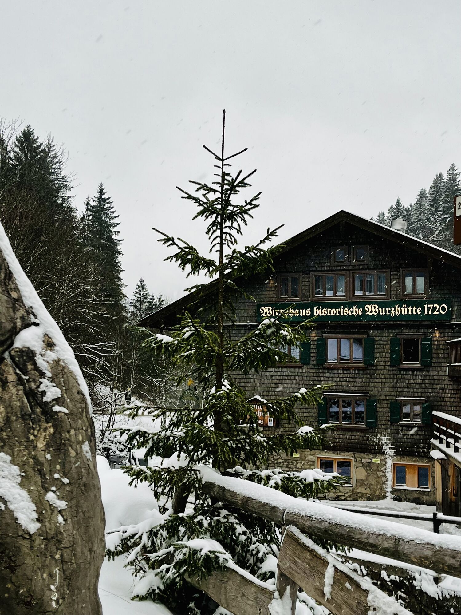
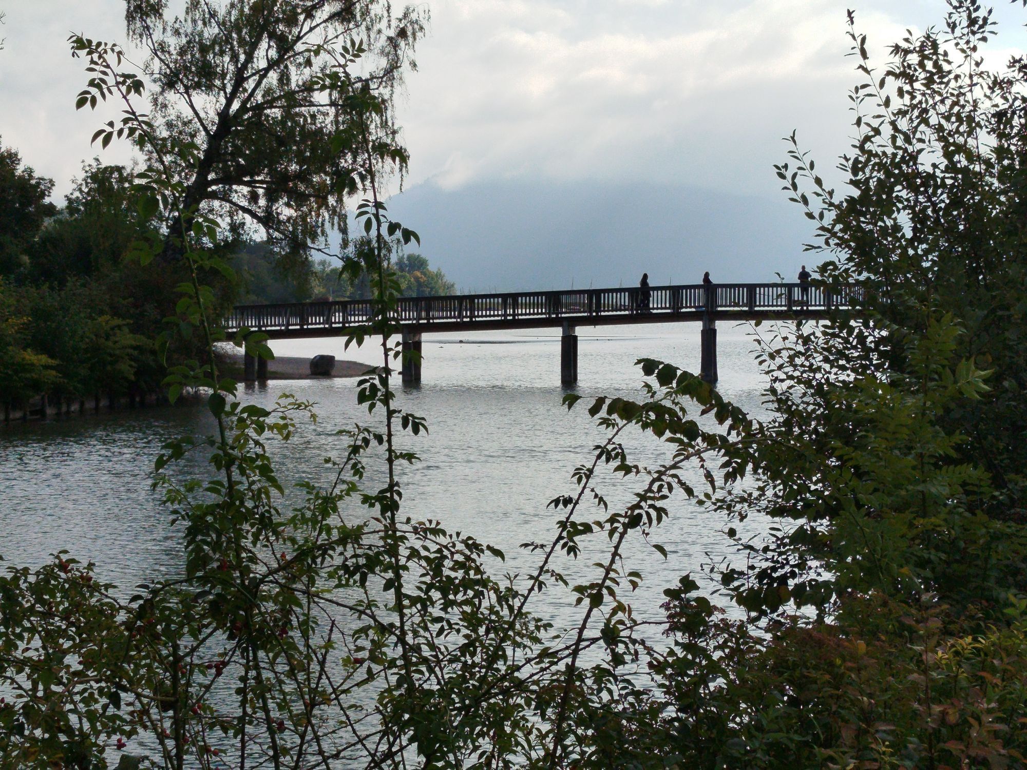
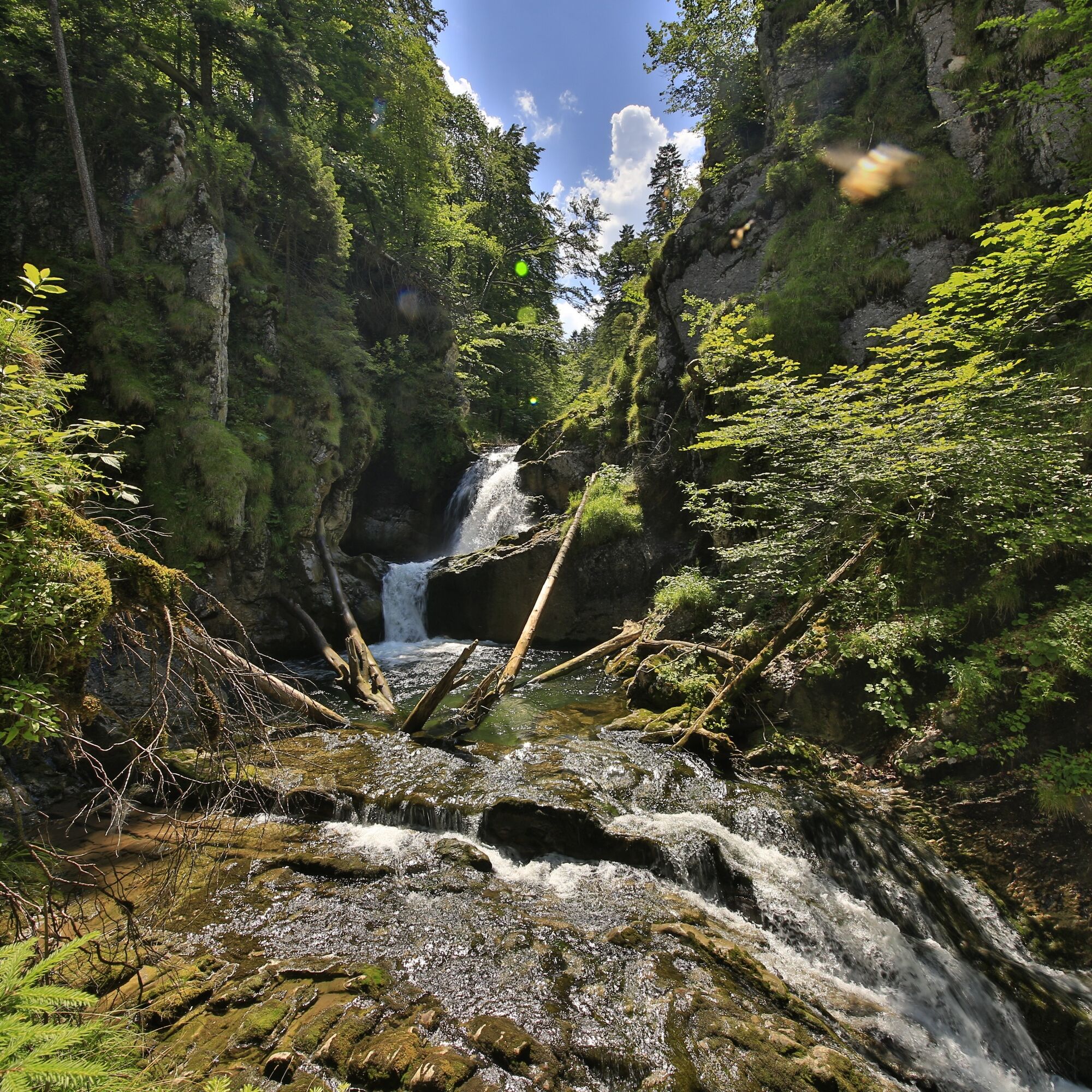
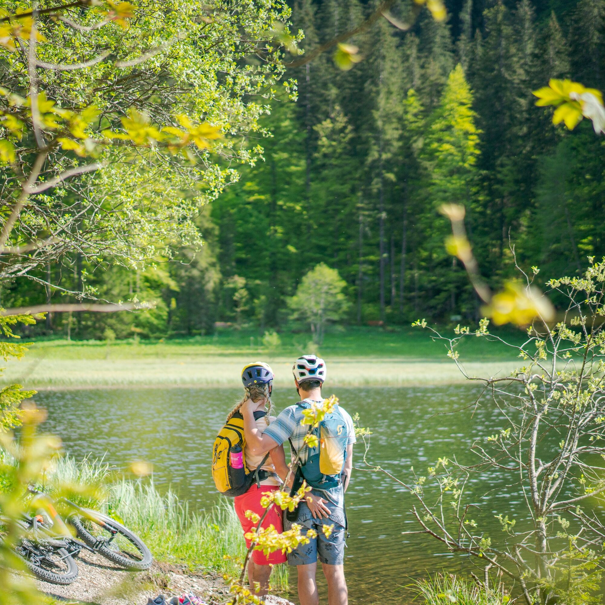
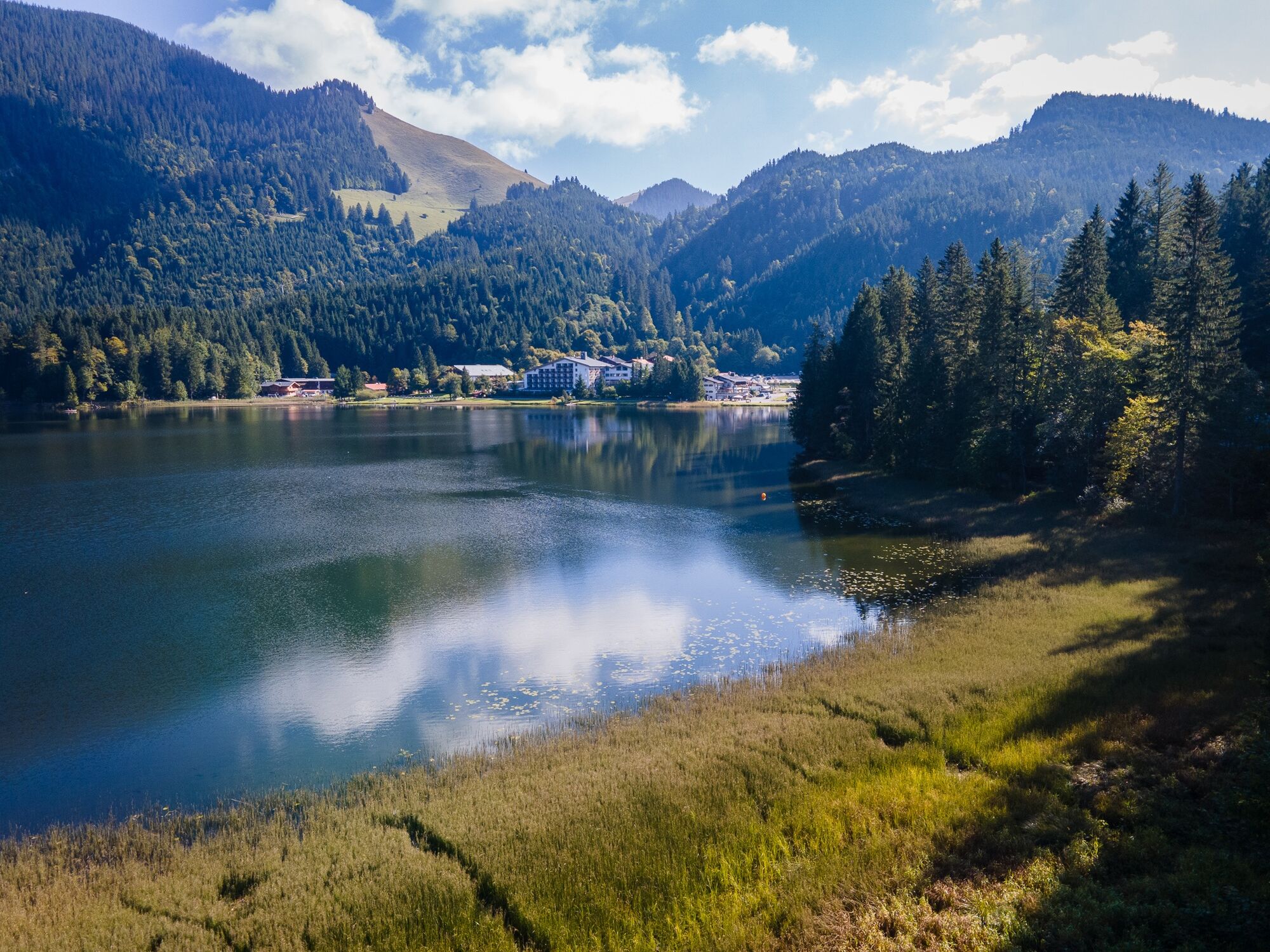
The E-Bike route now leads over Unterwallberg to Enterrottach, before ascending steeply into the Sutten area. Just before the small Suttensee, there are several dining options with the Wildbachhütte, the Berghotel Sutten, and the Monialm. Please watch out for oncoming vehicles on the further route to Spitzingsee when descending to the inn “Forsthaus Valepp.” This almost 200-year-old mountain inn between Spitzingsee and Tegernsee was extensively renovated and reopened in August 2024.
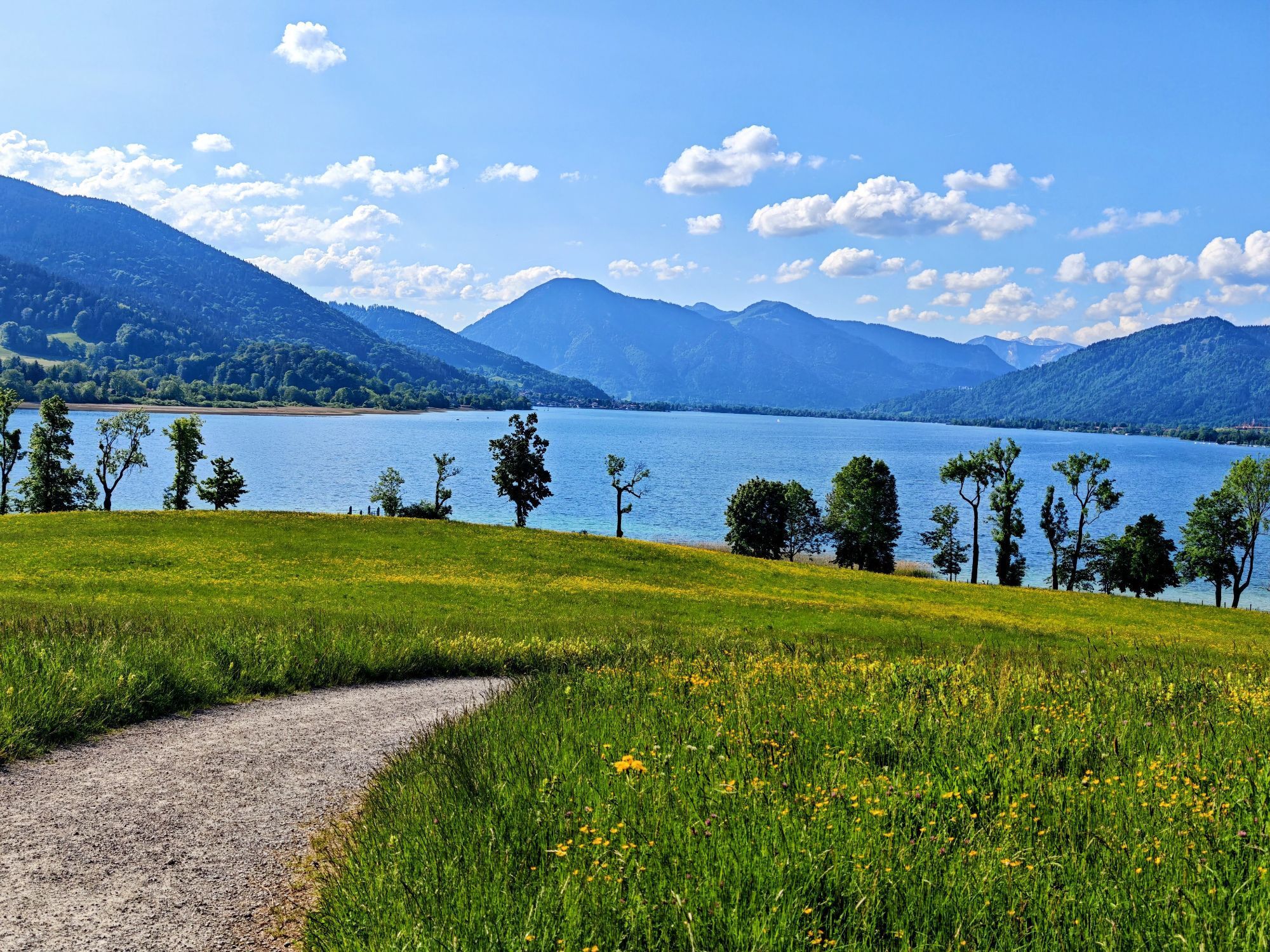
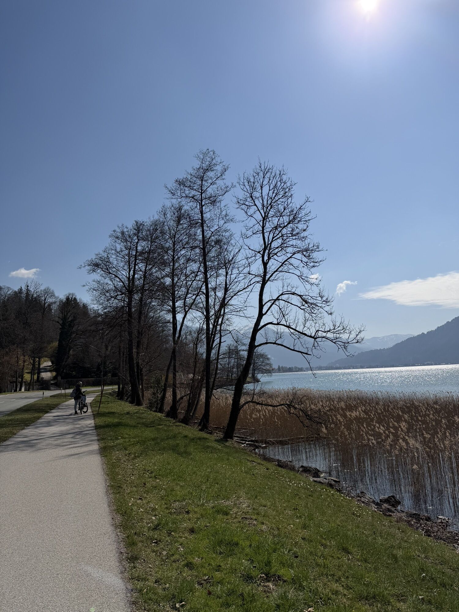
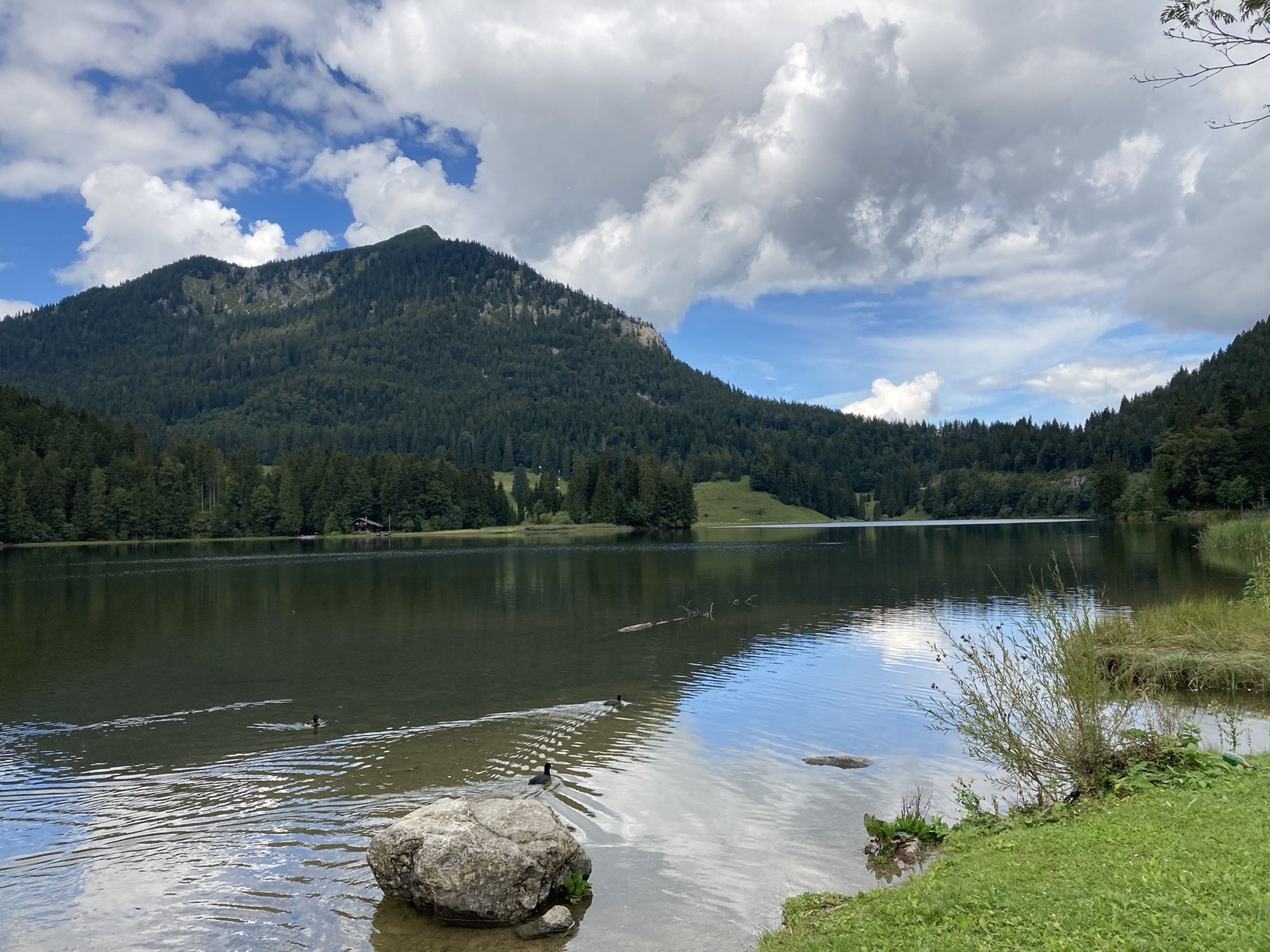
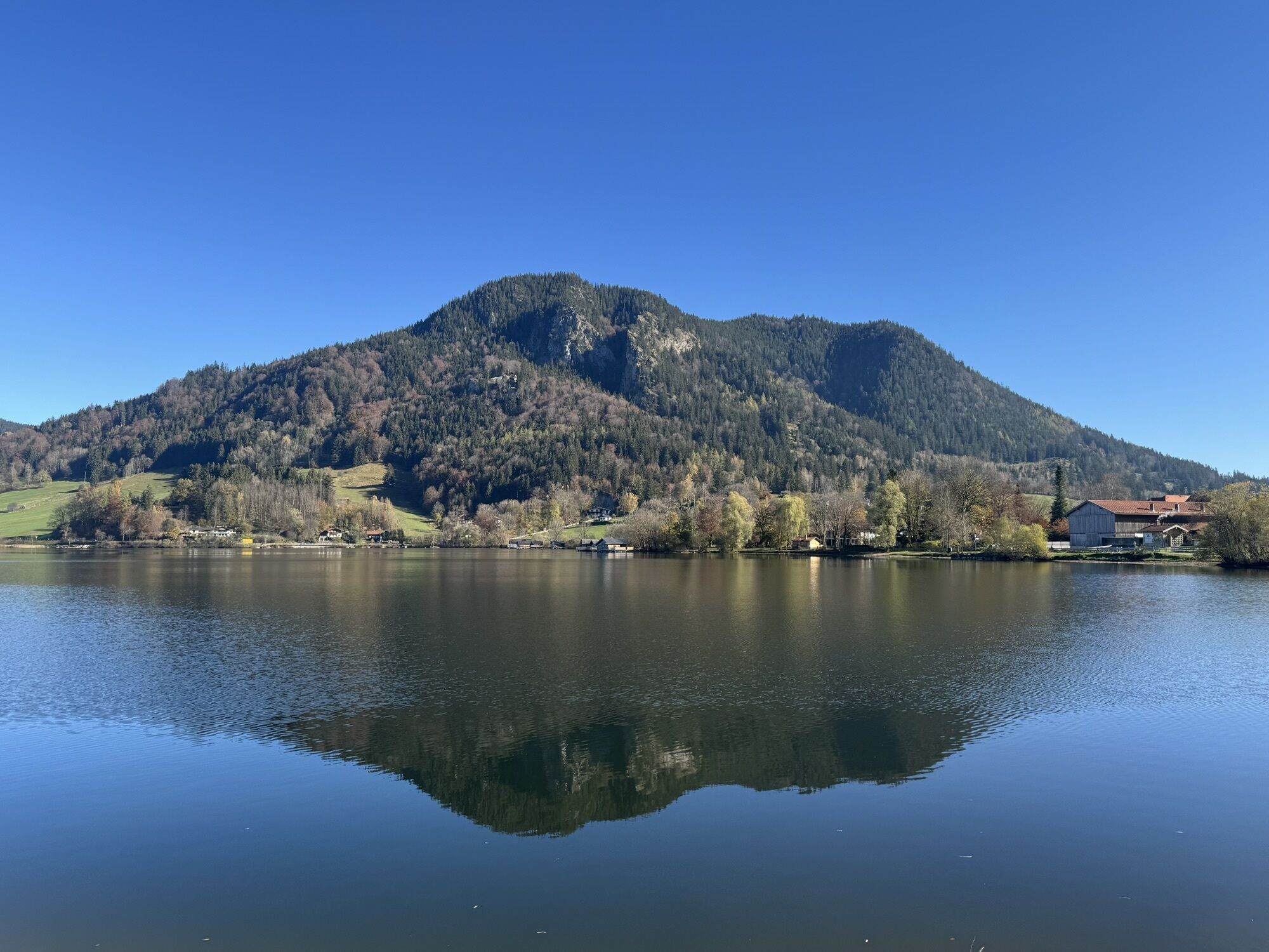
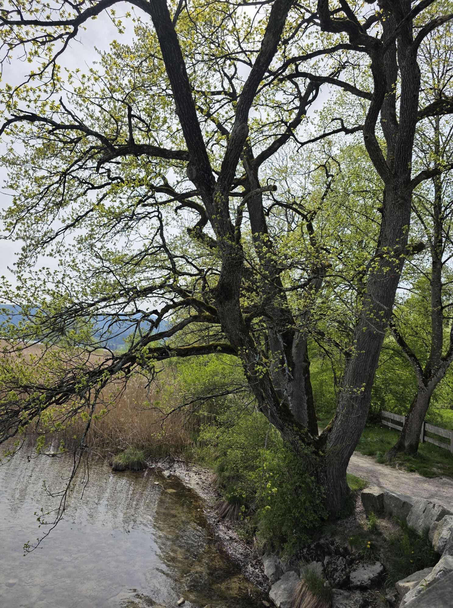
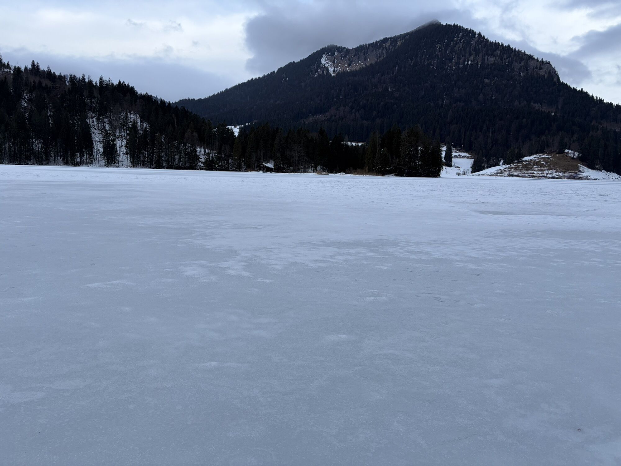
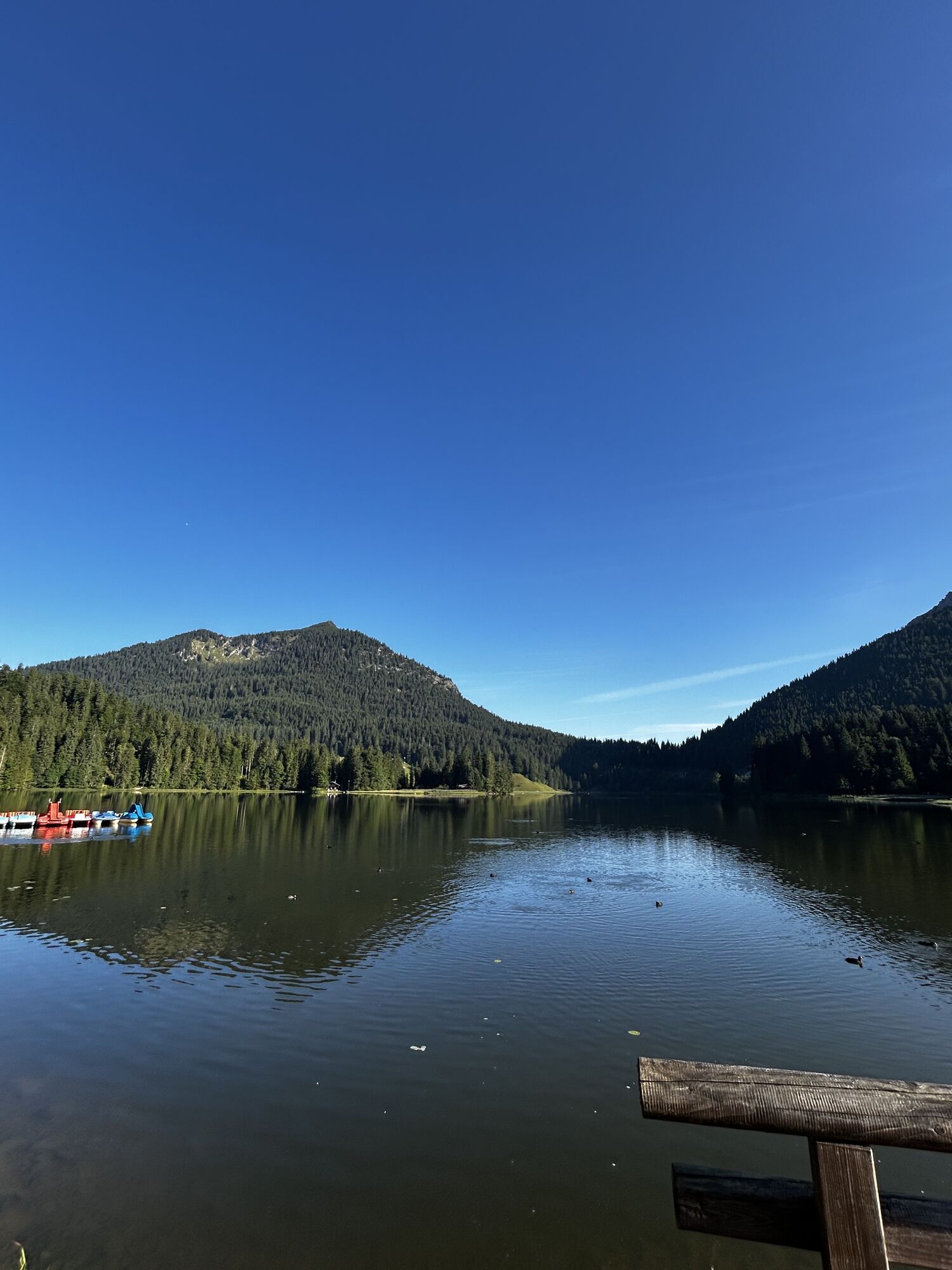
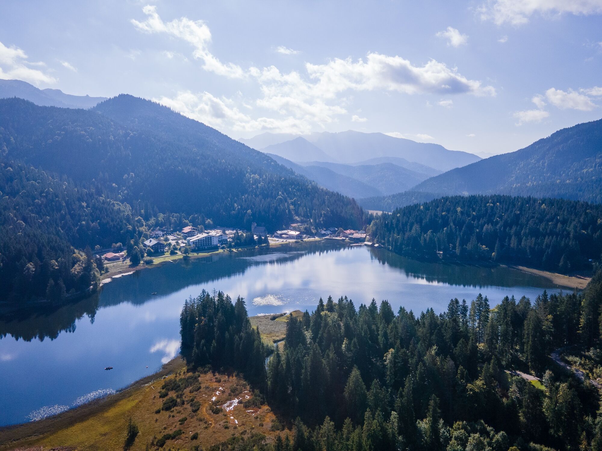
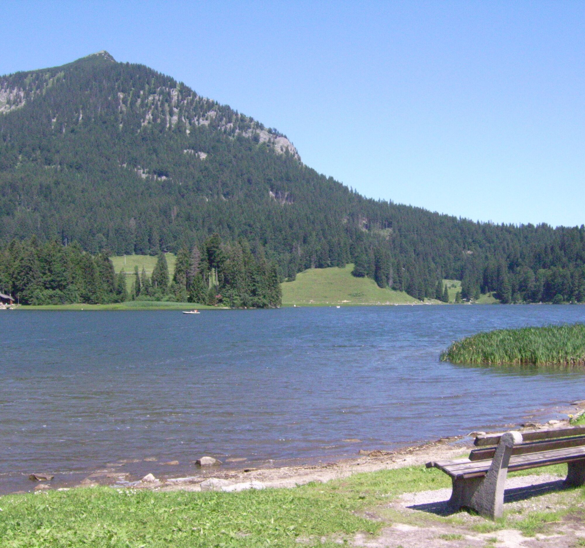
The further path along the red Valepp to Spitzingsee is closed to private traffic and therefore particularly nice to cycle. Upon arrival at the lake, the namesake village of Spitzingsee is situated at 1,068 meters with numerous dining options as well as the Spitzingsee-Tegernsee ski area. The Stümpfling 4-seater chairlift with the mountain cart track is also open in summer and the Jagahütt’n at the mountain station invites you to stop for refreshments.
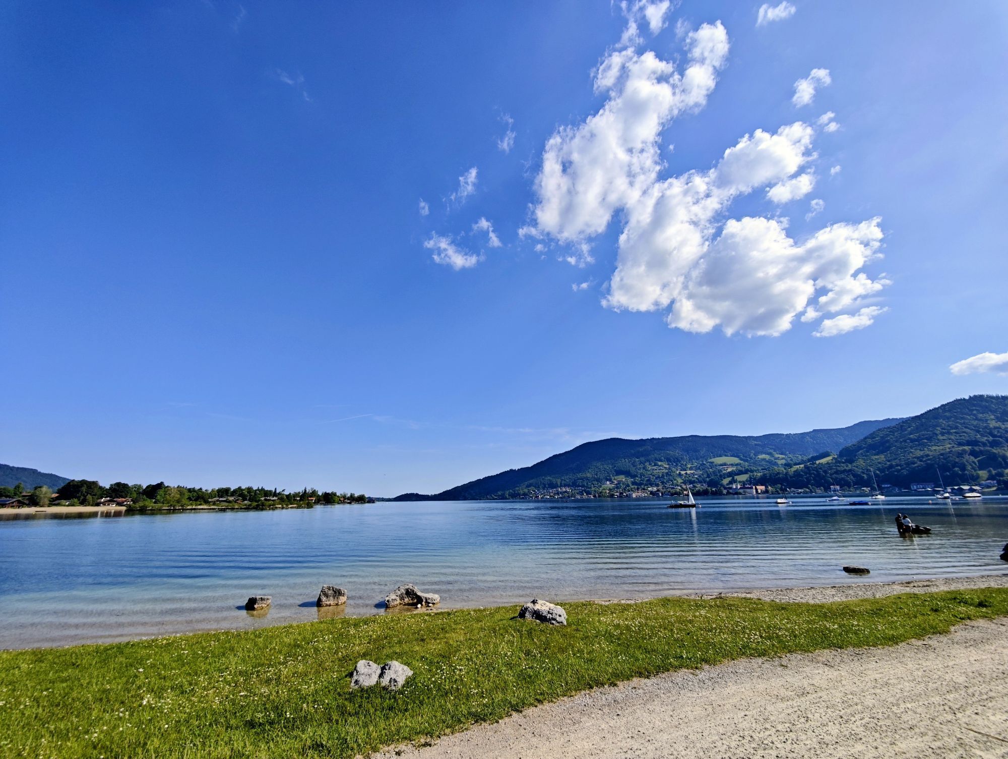
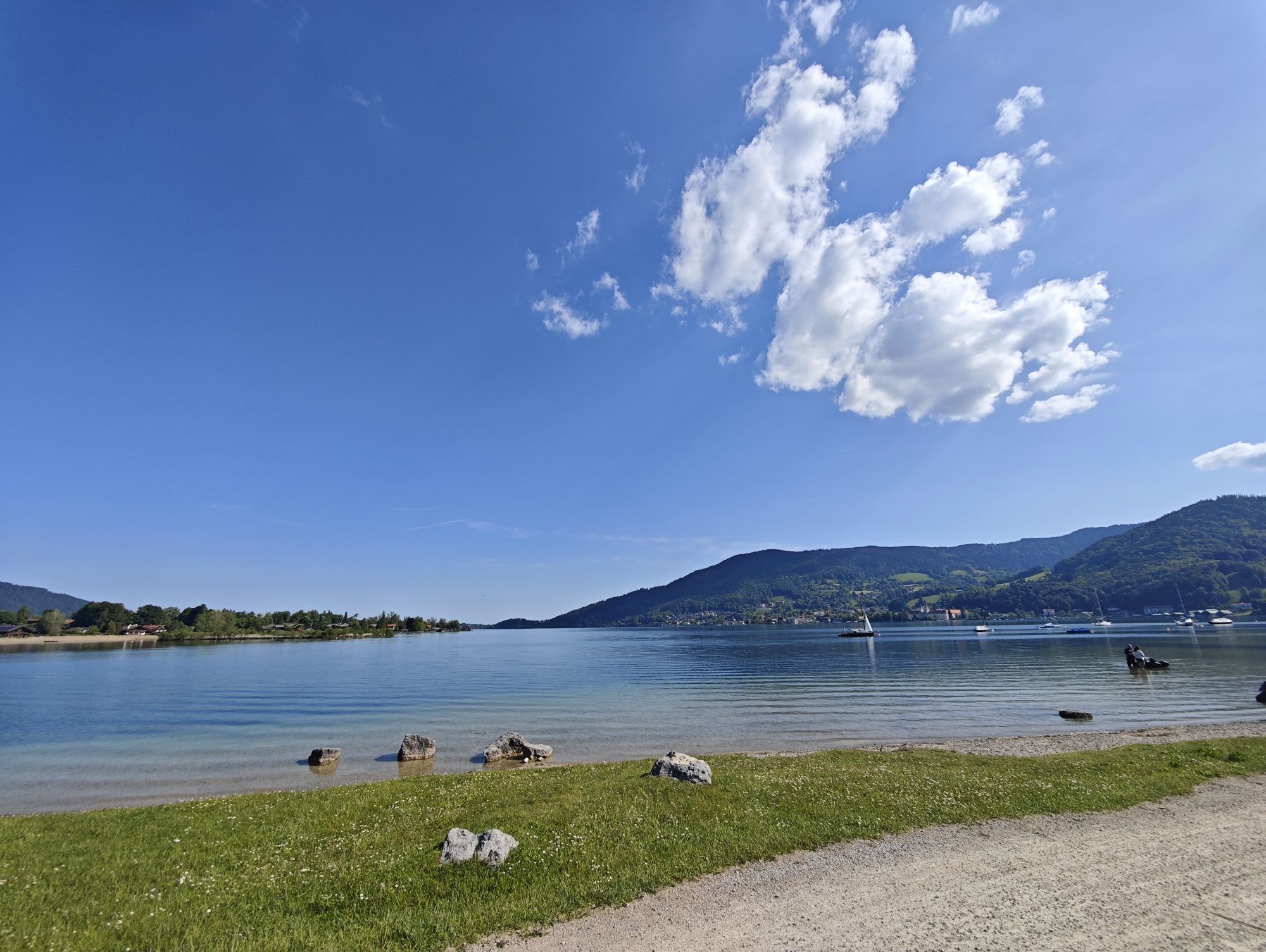
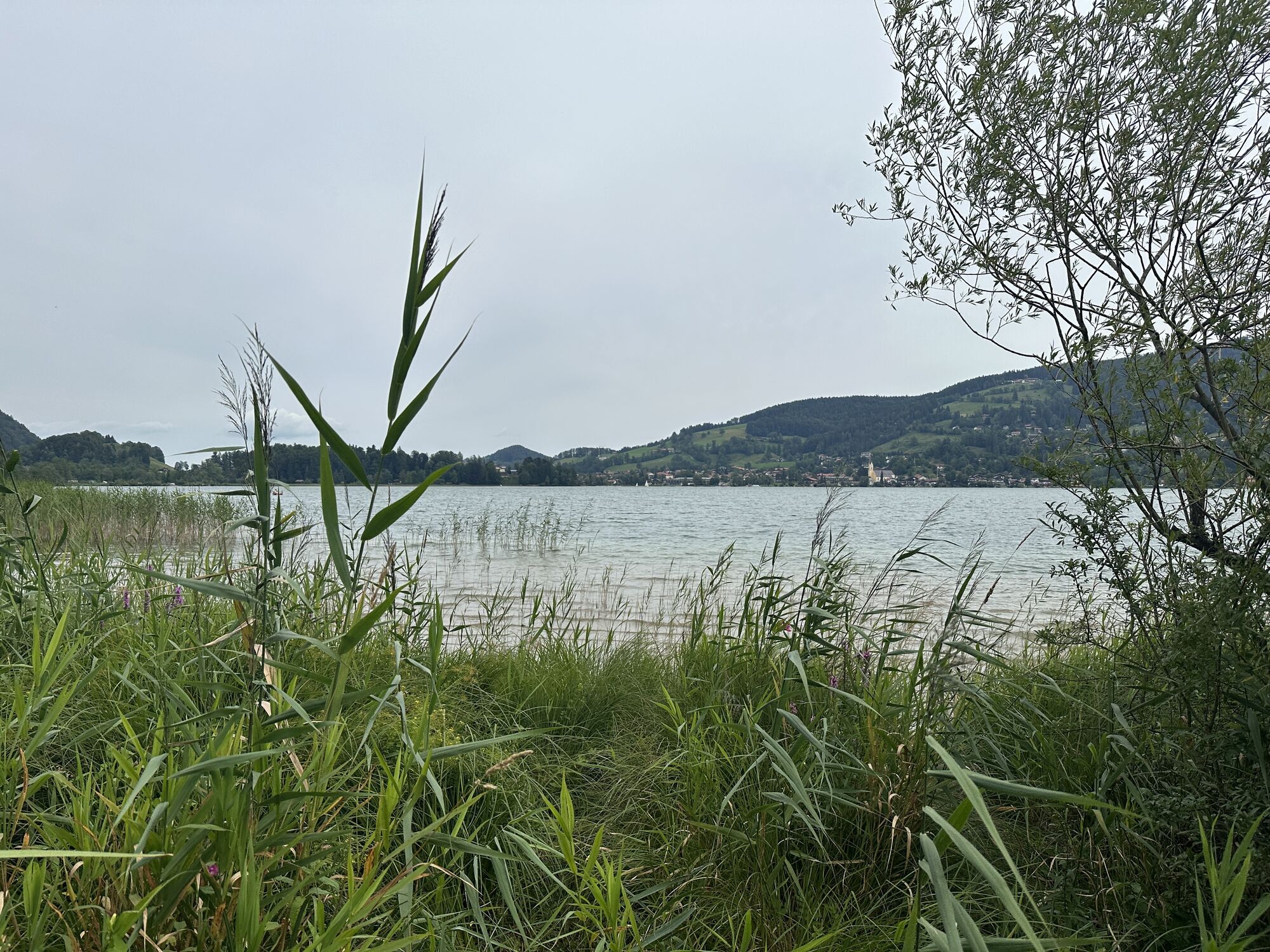
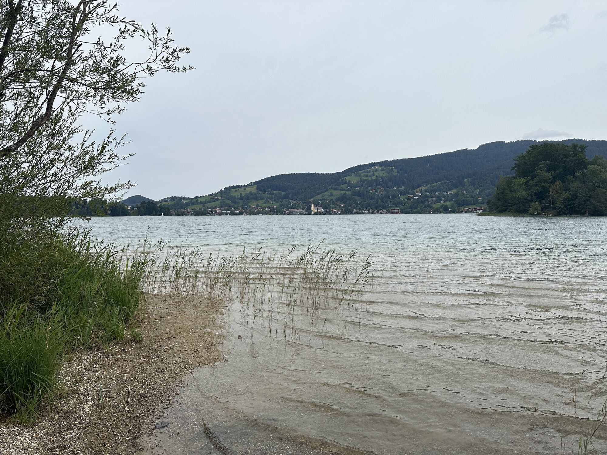
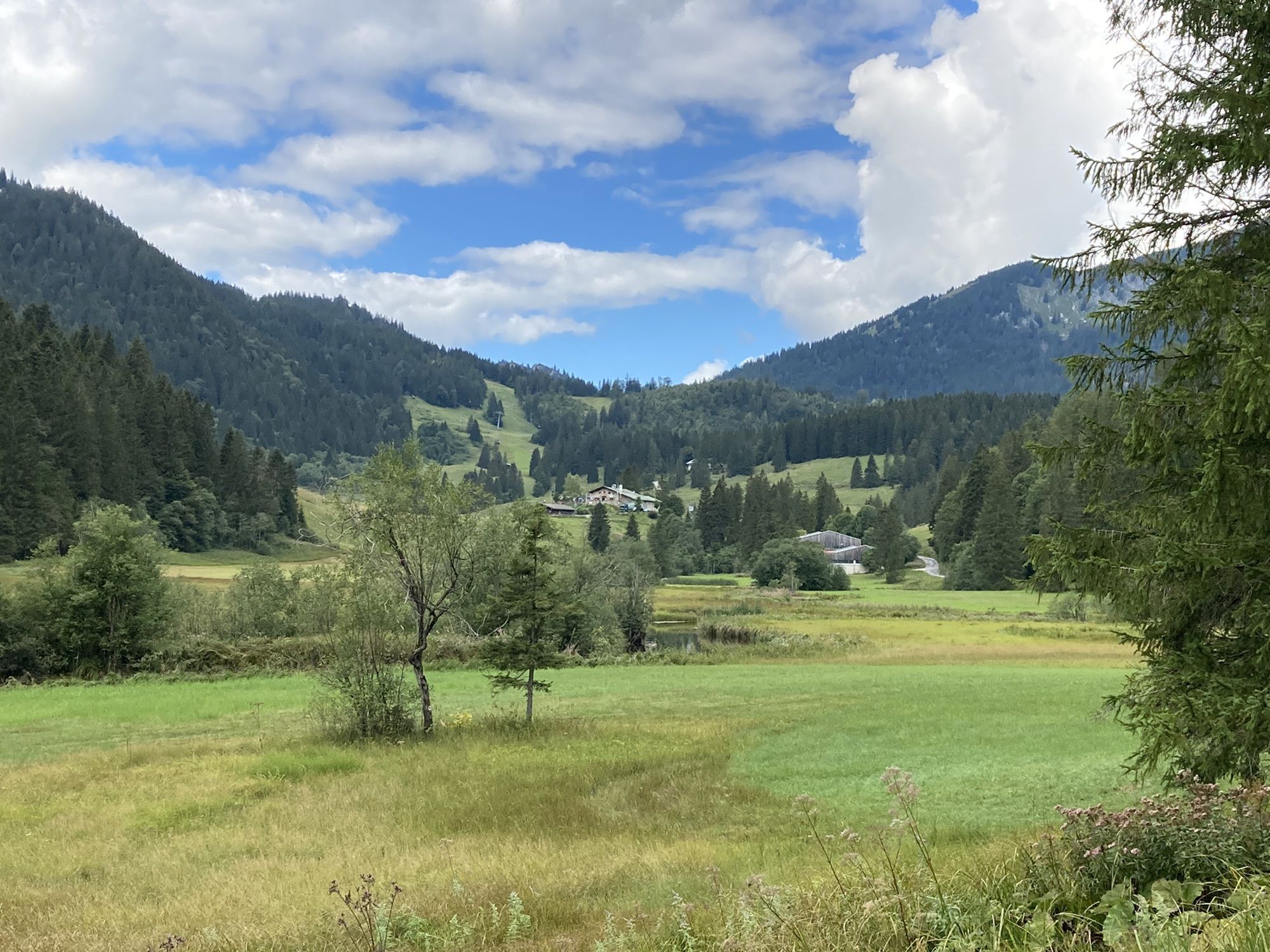
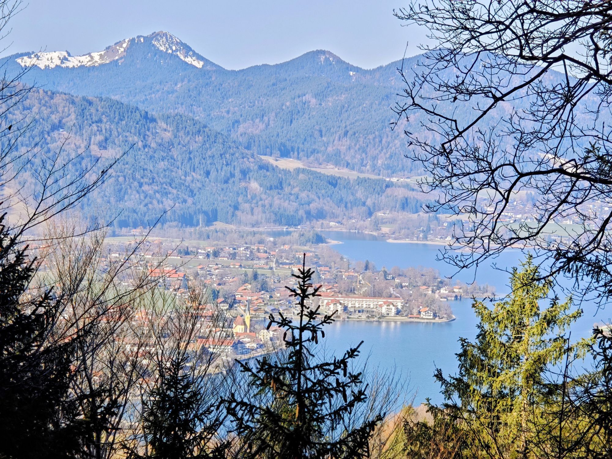
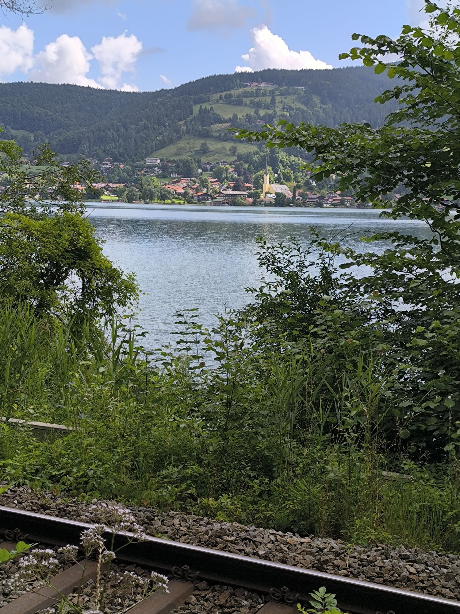
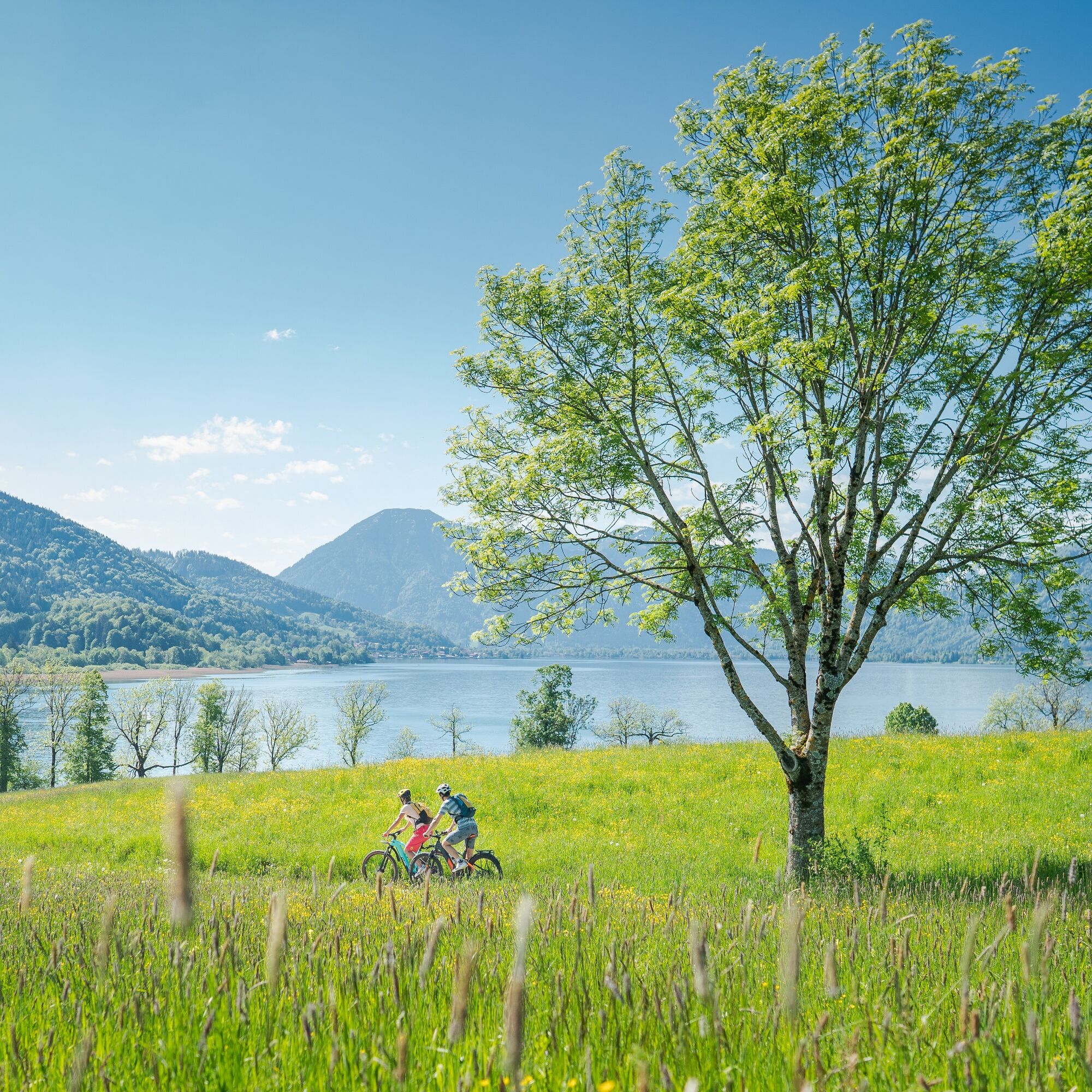
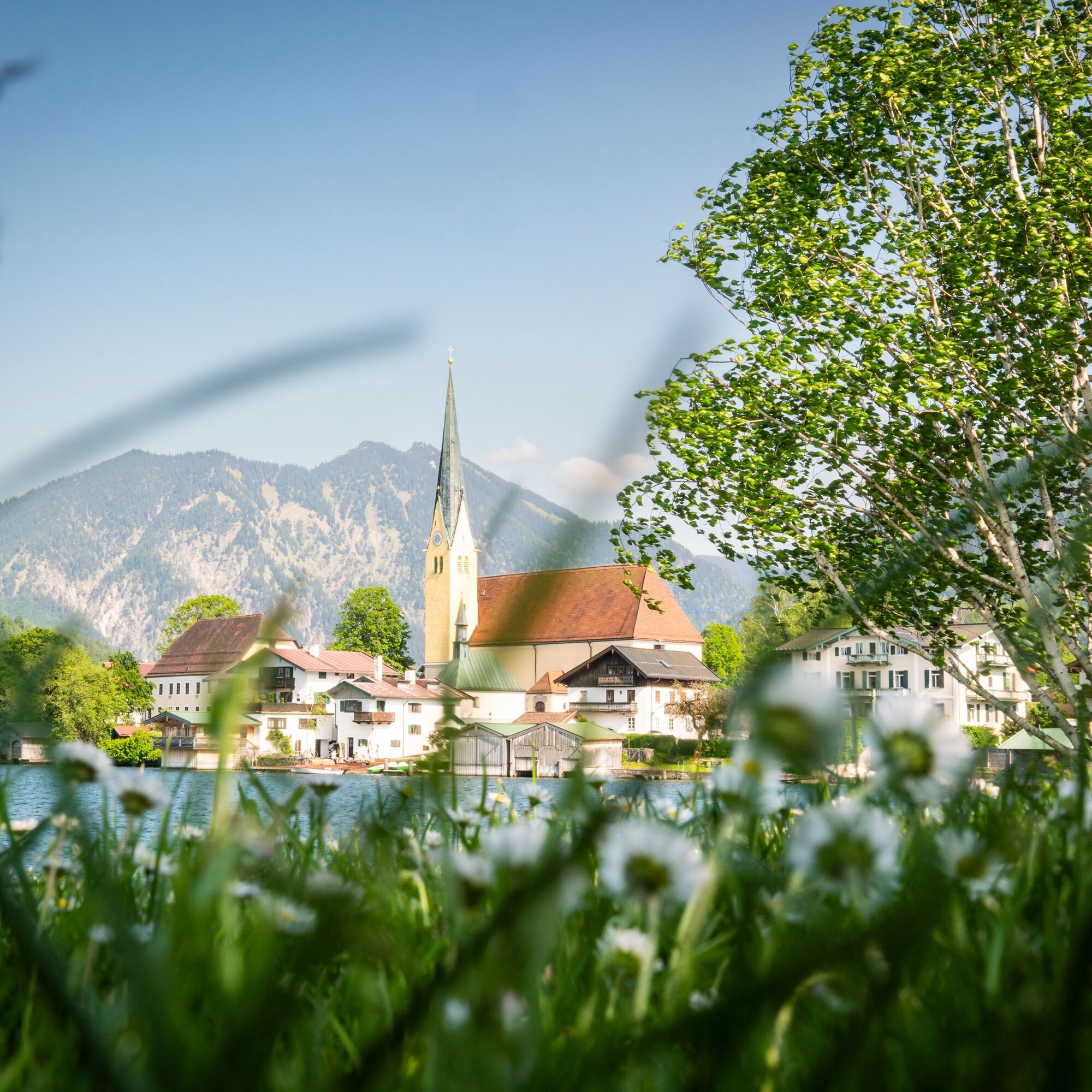
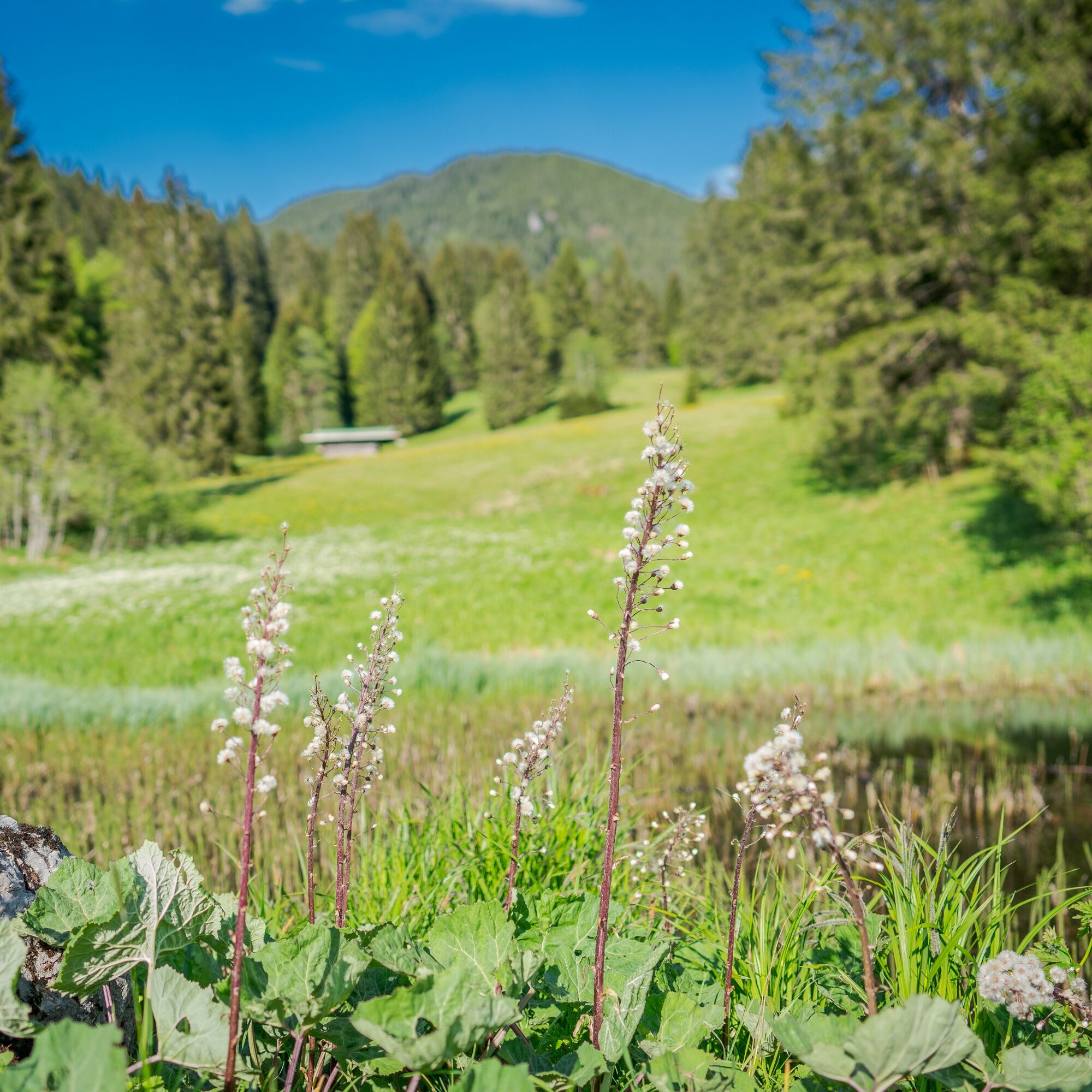
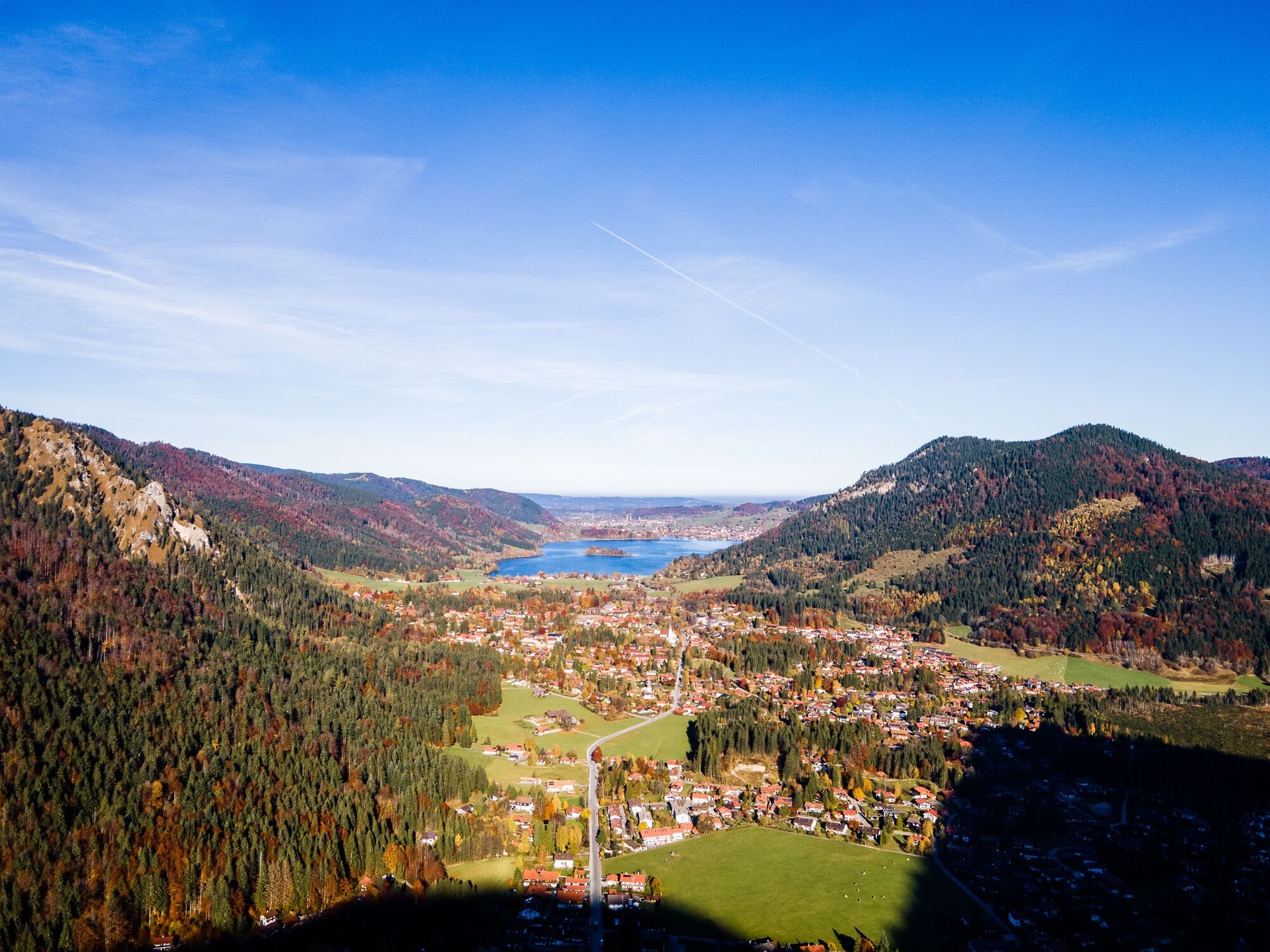
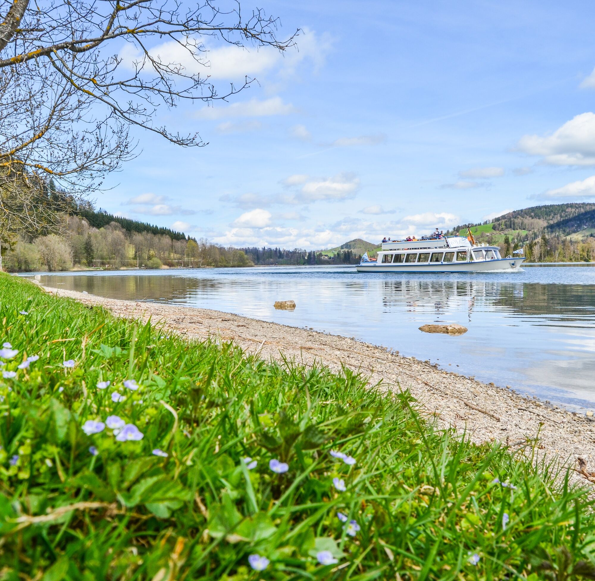
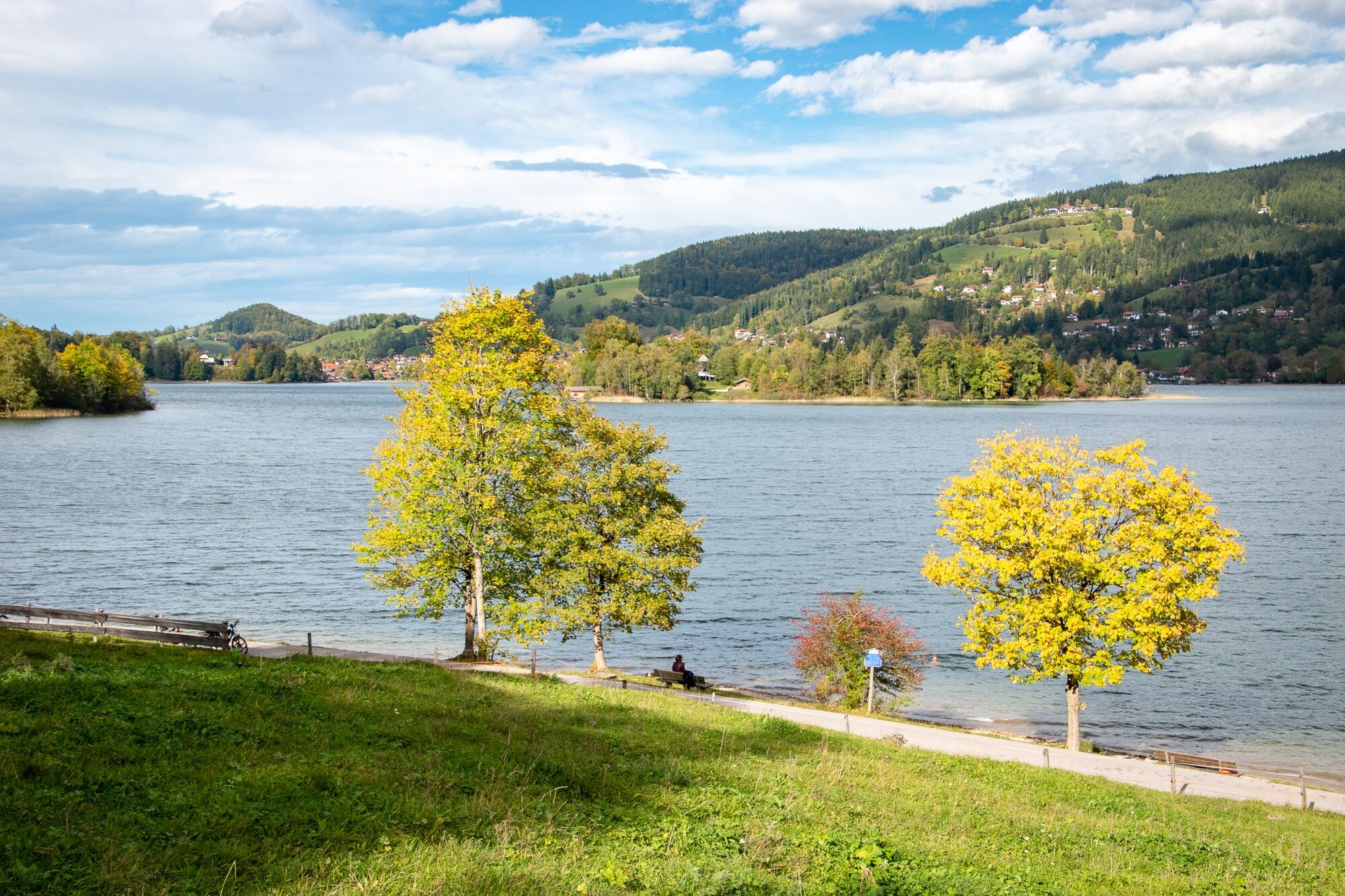
Shortly after the lake, you reach the Spitzingsattel and descend steeply to the Schliersee district of Josefstal. Caution, at the Hachelbach, shortly before federal highway B307, the turn sharply heads left into Aurachstraße to then continue on Josefstalerstraße toward Schliersee district Fischhausen. On the west side of Schliersee, there are now nice swimming opportunities before you make your way back to Tegernsee. At the end of the lake, first take Breitenbachstraße and then Schlierachstraße to Hausham. After a short section on Tegernseer Straße, turn left onto Nagelbachstraße. Follow this for about 400 meters to Gschwendt street. Towards Gmund and Tegernsee, take the Bodensee-Königssee bike path, first around Wallenburger Kogel until Oberschuß and then briefly downhill to the Ödberglift in the Gmund district of Ostin. The popular leisure facility offers, besides summer tobogganing, a climbing forest, and adventure playground, a dining option with a beautiful sun terrace.
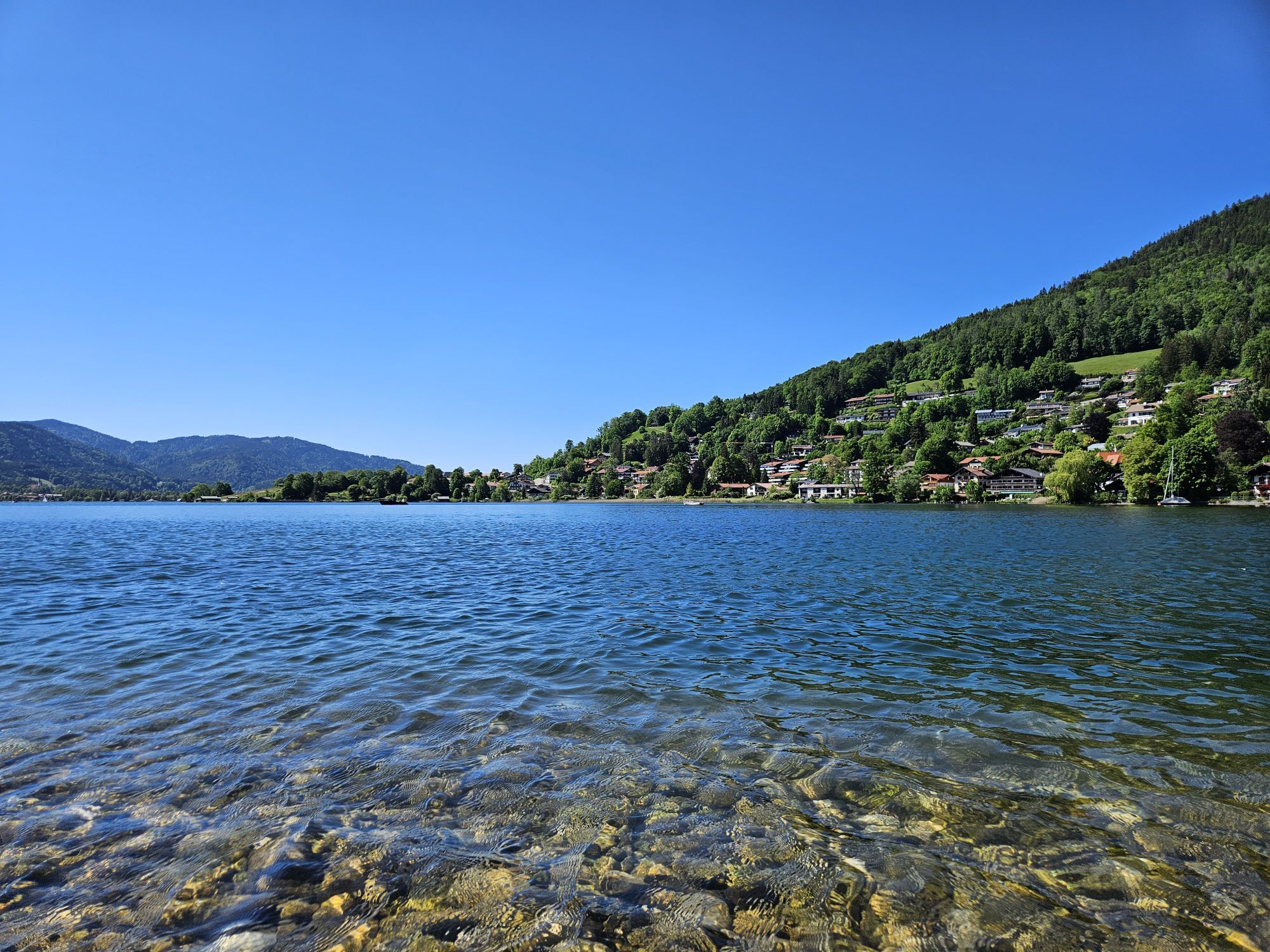
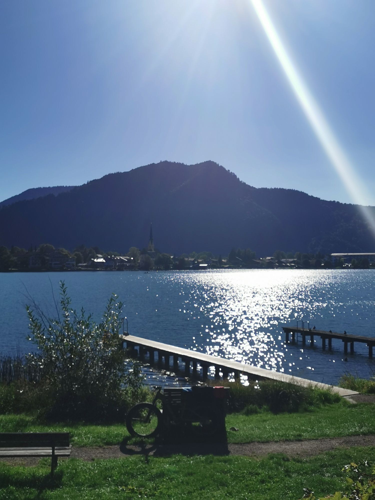
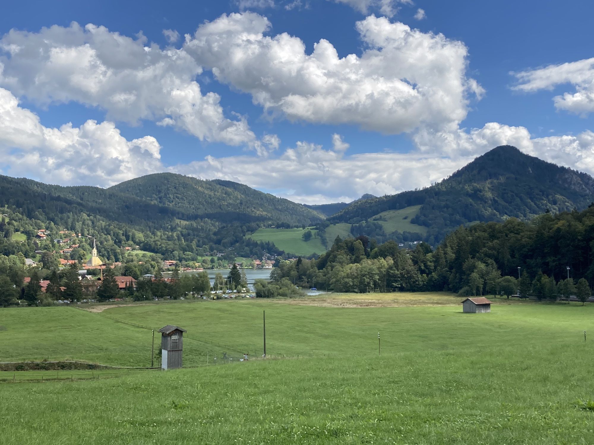
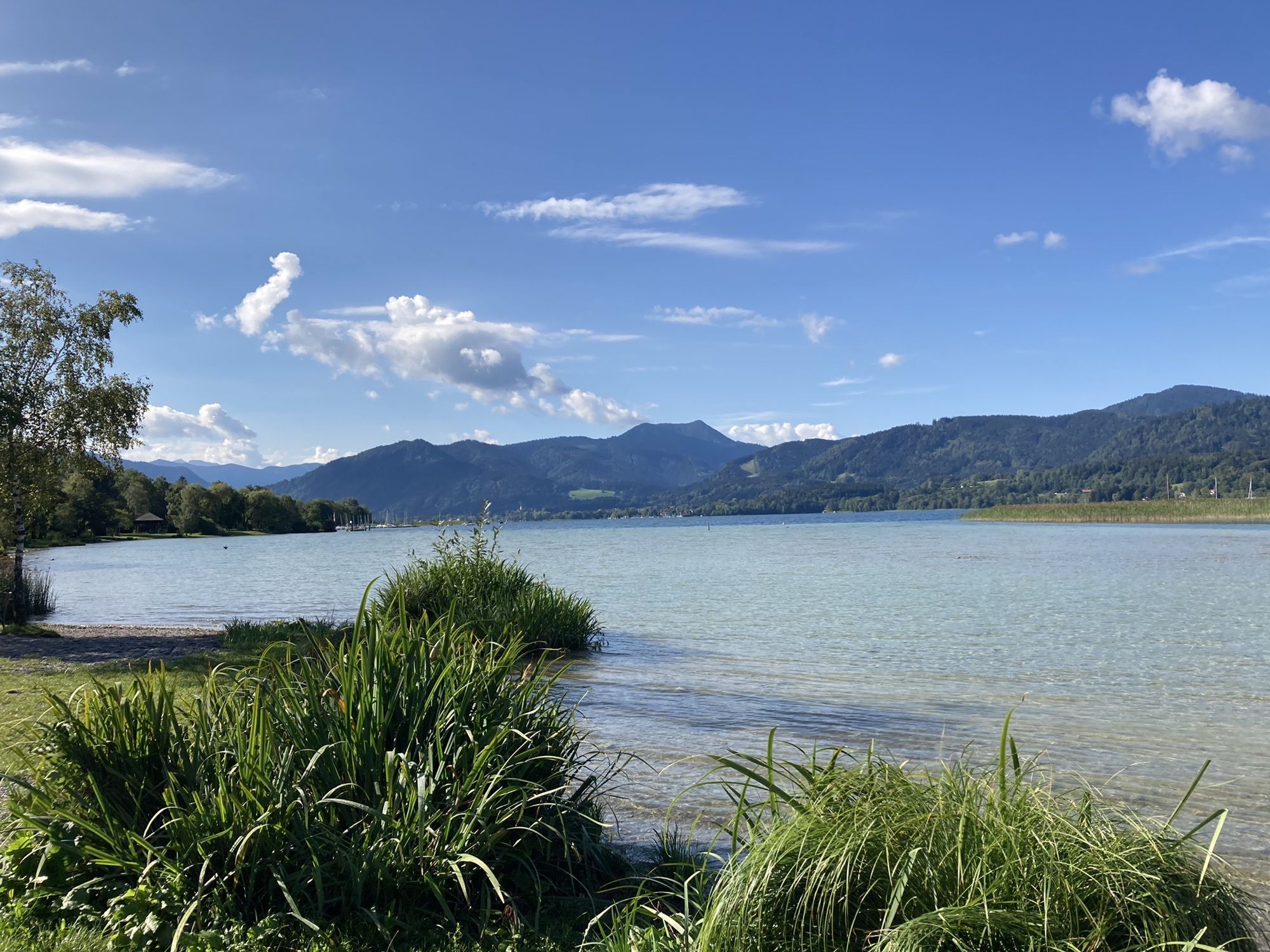
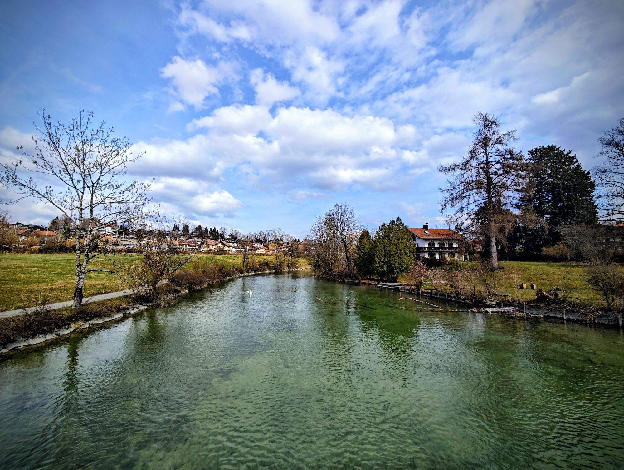
The bike route then leads on side streets via the districts Niemandsbichl and Gasse into the town center of Gmund am Tegernsee. In the Seeglas district, there is another swimming opportunity at the beach before the route returns on the lake circuit path to the starting point in the town of Tegernsee. Those who want to extend the tour in Gmund can circle the Tegernsee counterclockwise and additionally explore Bad Wiessee and Rottach-Egern. The 15-kilometer Gmund-Tegernsee route via Bad Wiessee and Rottach-Egern takes about one hour.
Ano
We recommend wearing a bike helmet and using a technically flawless bike. Please remember a bike tube, tools, mobile phone, change of clothes, and a first-aid kit.
E-Bikes can be rented and charged at many service stations in the Tegernsee Schliersee Alpine region.
The addresses of rental and charging stations at Tegernsee can be found here: https://www.tegernsee.com/serviceangebote-fuer-radfahrer
All information without guarantee. Walking and cycling on the routes described here is at your own risk; please also observe short-term path closures.
Please always show consideration not only for nature but also for fellow human beings. For example, mutual consideration between cyclists and hikers is essential to avoid unnecessary accidents and make a wonderful nature experience possible for all.
A8 to Holzkirchen exit, via B318 to Tegernsee.
Arrival by bike and by Bavarian regional train is possible up to the Gmund or Tegernsee train stations. Here you can find current timetable information:
https://www.mvv-muenchen.de/fahrplanauskunft
General notes from Regio-Bahn about bike transport:
The number of bicycles per vehicle is limited for safety reasons.
Unfortunately, there is no general entitlement to the carriage of bicycles.
Please remove luggage and bike bags before boarding so that the bikes can be optimally arranged together.
Please use the entrances marked outside with the bike symbol and park your bike in the so-called multi-purpose area.
The safety of all passengers must always be ensured; please keep emergency exits clear and be considerate of other passengers.
Please follow the instructions of the train staff. Our employees are responsible for safety on the train and therefore decide whether bike transport is still possible during high demand.
Passengers with wheelchairs or strollers have priority.
Stay close to your bike in case you need to hold it.
Some connections in the morning and evening, mostly between 8:00 and 11:00 and 16:00 and 19:00, are particularly busy. Consider choosing earlier or later trains if possible. Demand also rises quickly with sudden weather changes.
E-Bikes with insurance plates are excluded from transport.
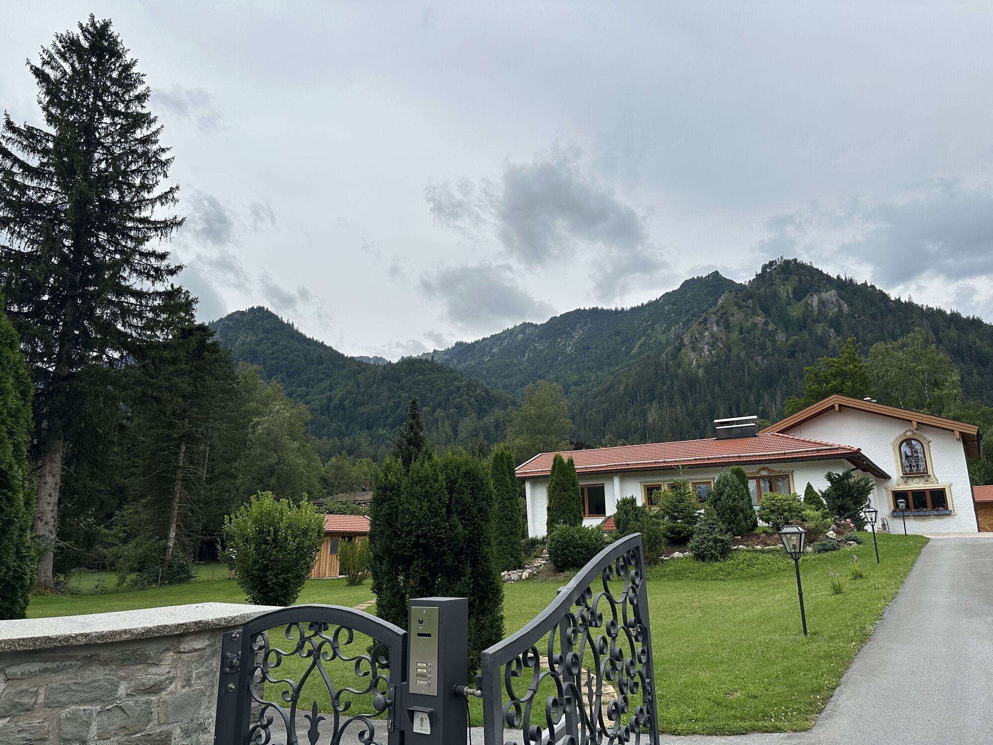
Central parking lot Tegernsee (paid)
2
Those who want to extend the route circle the Tegernsee on the signposted lake circuit path from Gmund counterclockwise to the destination in Tegernsee. Link to the route: Lake Circuit Tegernsee
Webové kamery z prohlídky
Schliersberg Alm
Untere Firstalm
Wallbergbahn
Ödberg Talstation
Miesbach
Kreuth
Bergstation Taubensteinbahn
Talstation Stümpflingbahn
Jagahütt´n
Stümpflingabfahrt
Obere Maxlraineralm
Tegernsee
Hirschberglifte
Hausham
Taubensteinbahn - Bergstation
Schliersee - Café Milchhäusl
Hausham
Wallberg - Wallbergkircherl
Prasserbad - Rottach-Egern am Tegernsee
Rottach - Egern / Cafe Angermaier
Spitzingsee
Spitzingsee
Spitzingsee
Spitzingsee
Spitzingsee
Spitzingsee
Spitzingsee
Sonnenbichl Bergstation
Talstation Rosskopf
Kreuth
Schliersee
Tegernsee West
Wallbergbahn
Wallbergbahn
Wallbergbahn
Wallbergbahn
Wallbergbahn
Spitzingsee
Obere Firstalm
Obere Firstalm
Oblíbené prohlídky v okolí
- 4,7
Summit route to the Wallberg
středníTuristika 12,2 km - 4,7
Königsalm
středníTuristika 10,0 km - 5,0
Breitenstein
středníTuristika 8,64 km - 4,7
Wendelstein
středníTuristika 11,2 km - 4,2
Tegernsee Höhenweg - North
světloTuristika 12,3 km - 4,7
Rotwand über Schliersee, Deutschland
středníTuristika 15,4 km - 4,6
Brecherspitze
středníHorská turistika 14,5 km - 4,5
Aueralm/Zwerglberg
středníTuristika 11,9 km - 4,5
Brecherspitz-Runde auf dem Normalweg Schliersee, Bayern
středníTuristika 11,3 km - 3,7
Aueralm und Fockenstein
středníTuristika 14,1 km
Pěší turistika a stopování


Nenechte si ujít nabídky a inspiraci pro vaši příští dovolenou
Vaše e-mailová adresa byl přidán do poštovního seznamu.