







Tagestour zur Wieskirche

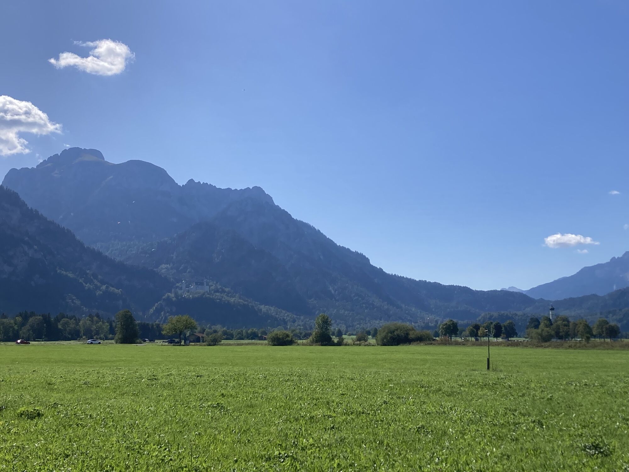
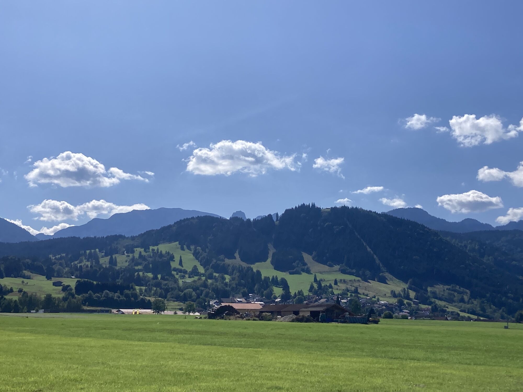
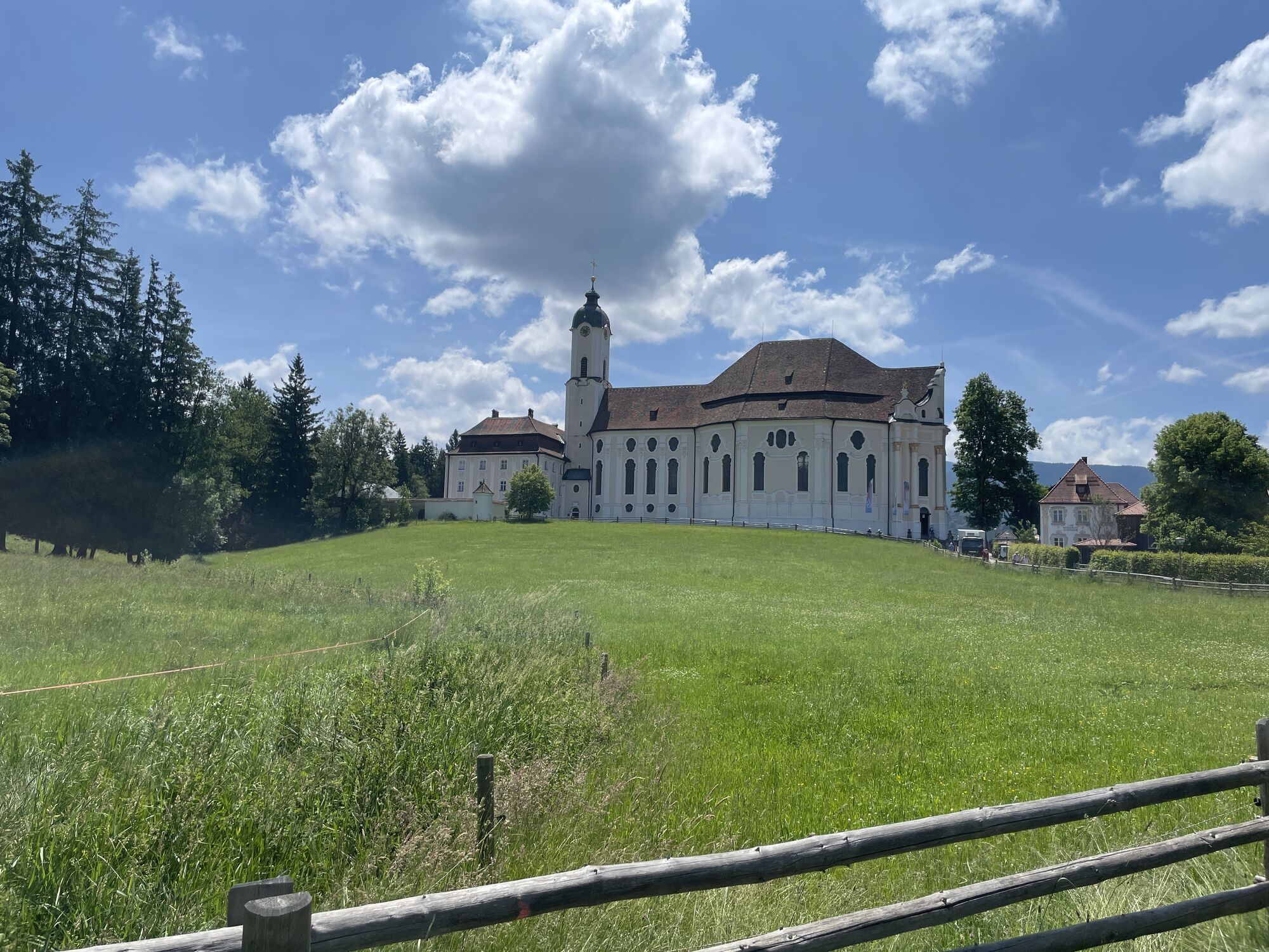
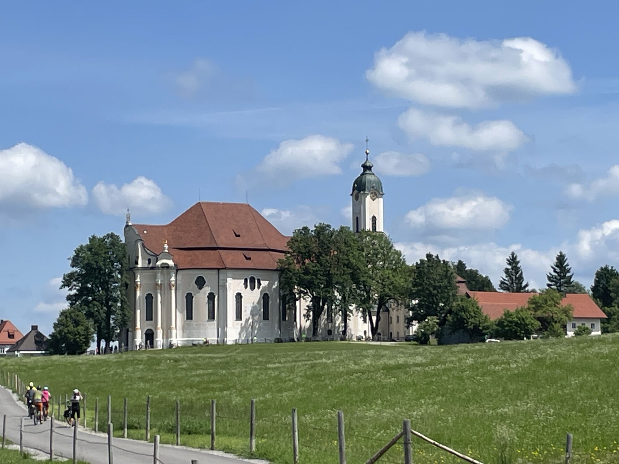
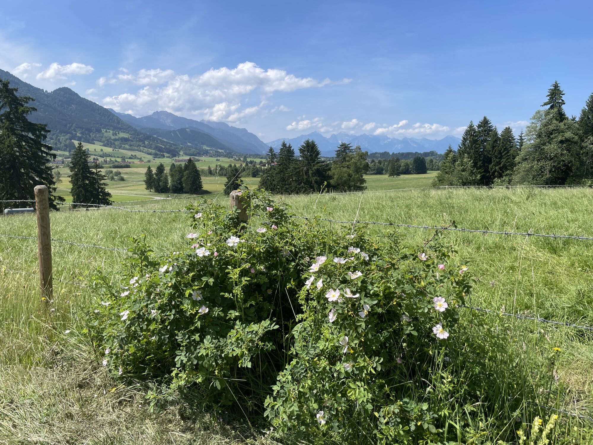
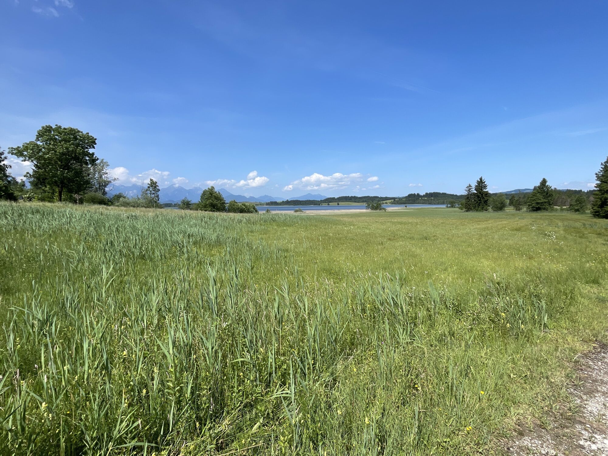
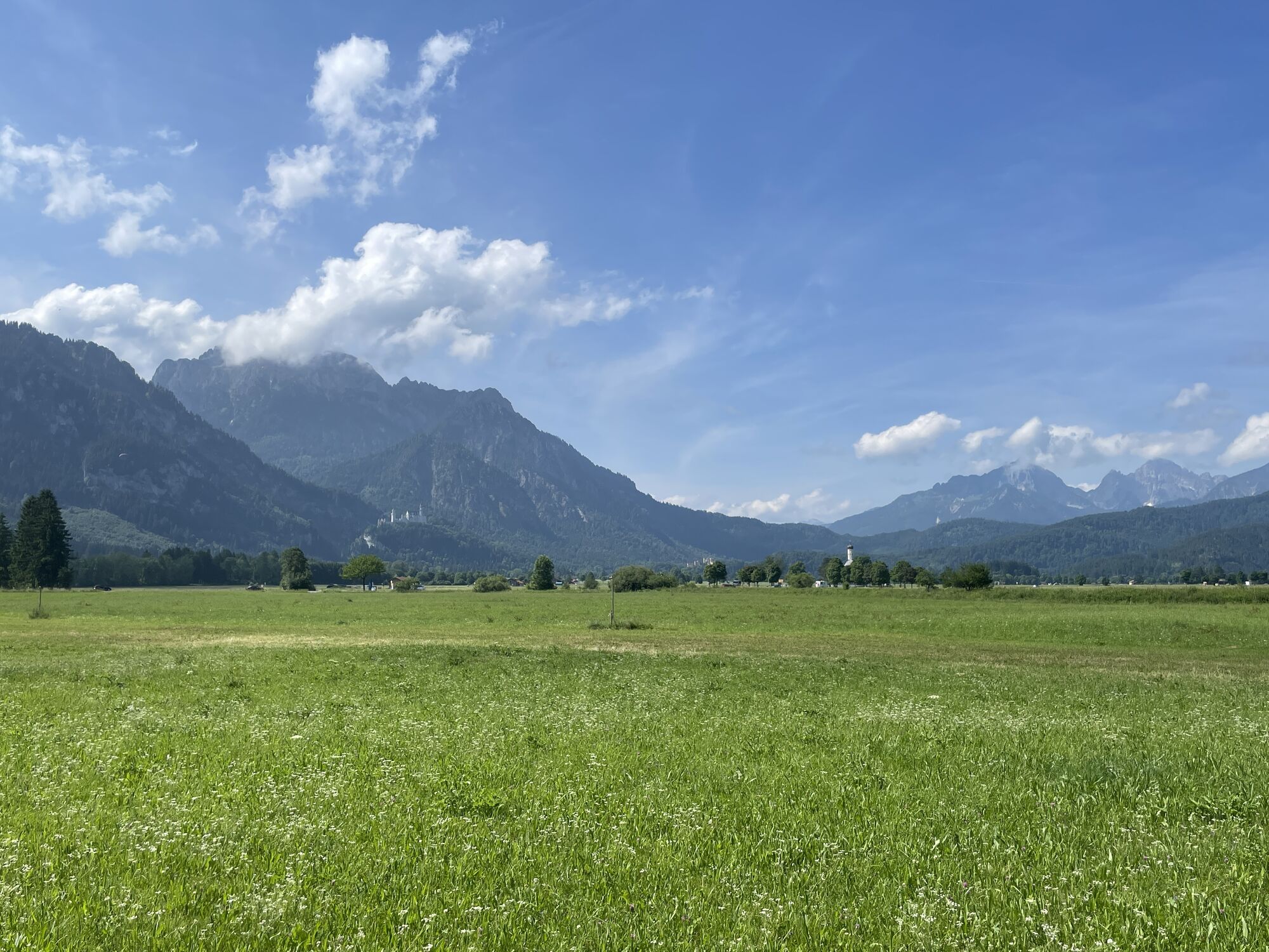
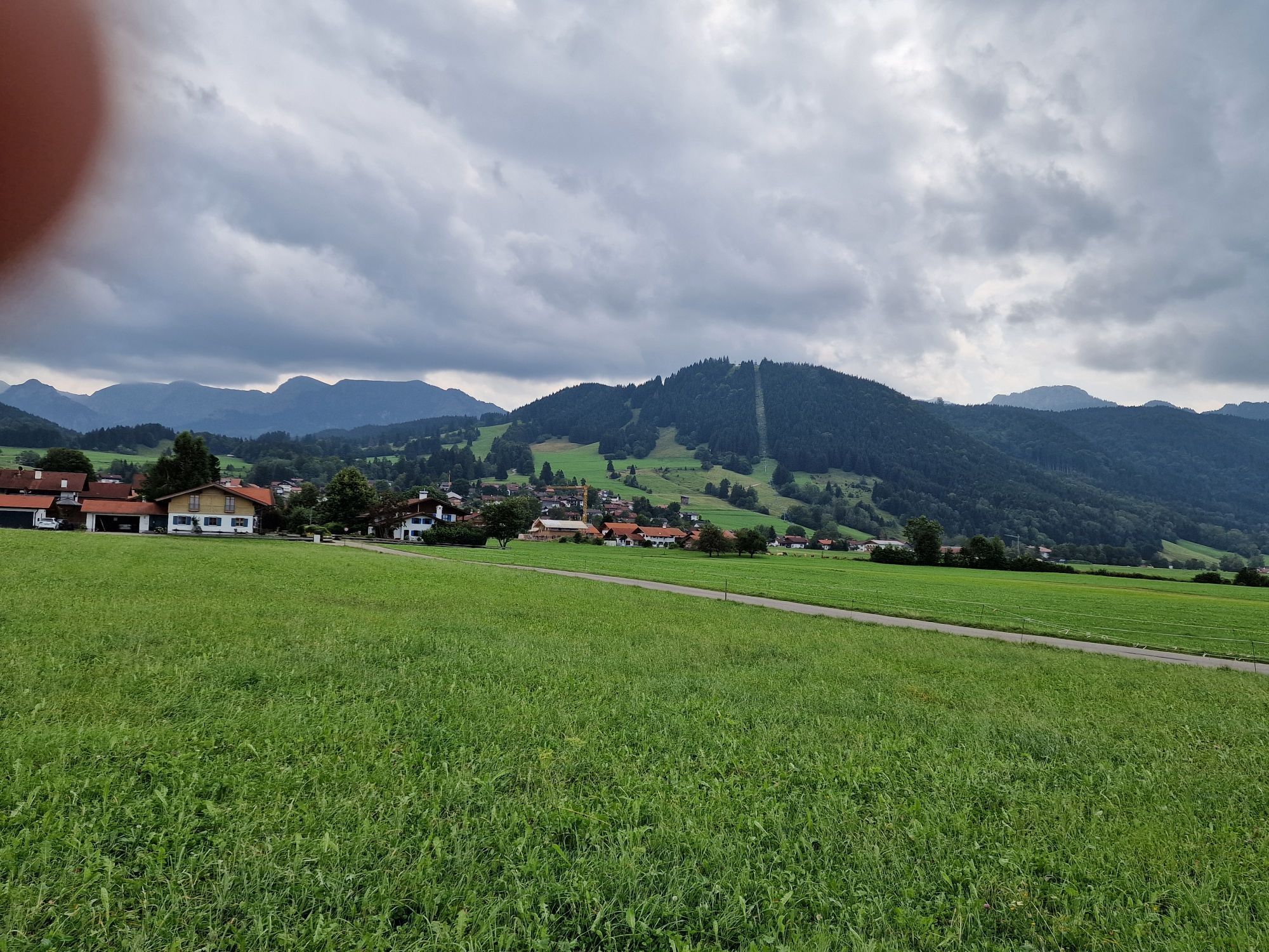
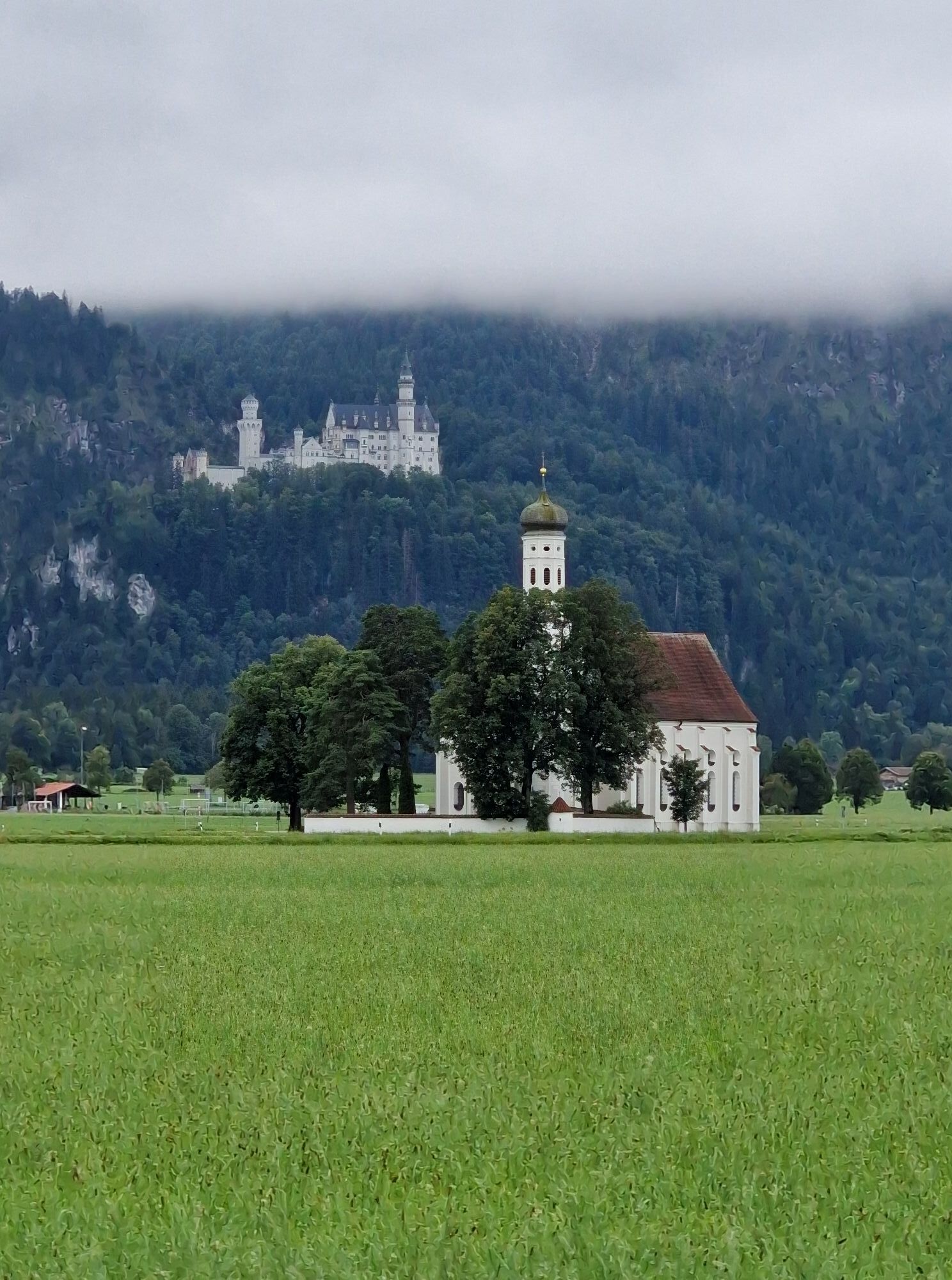
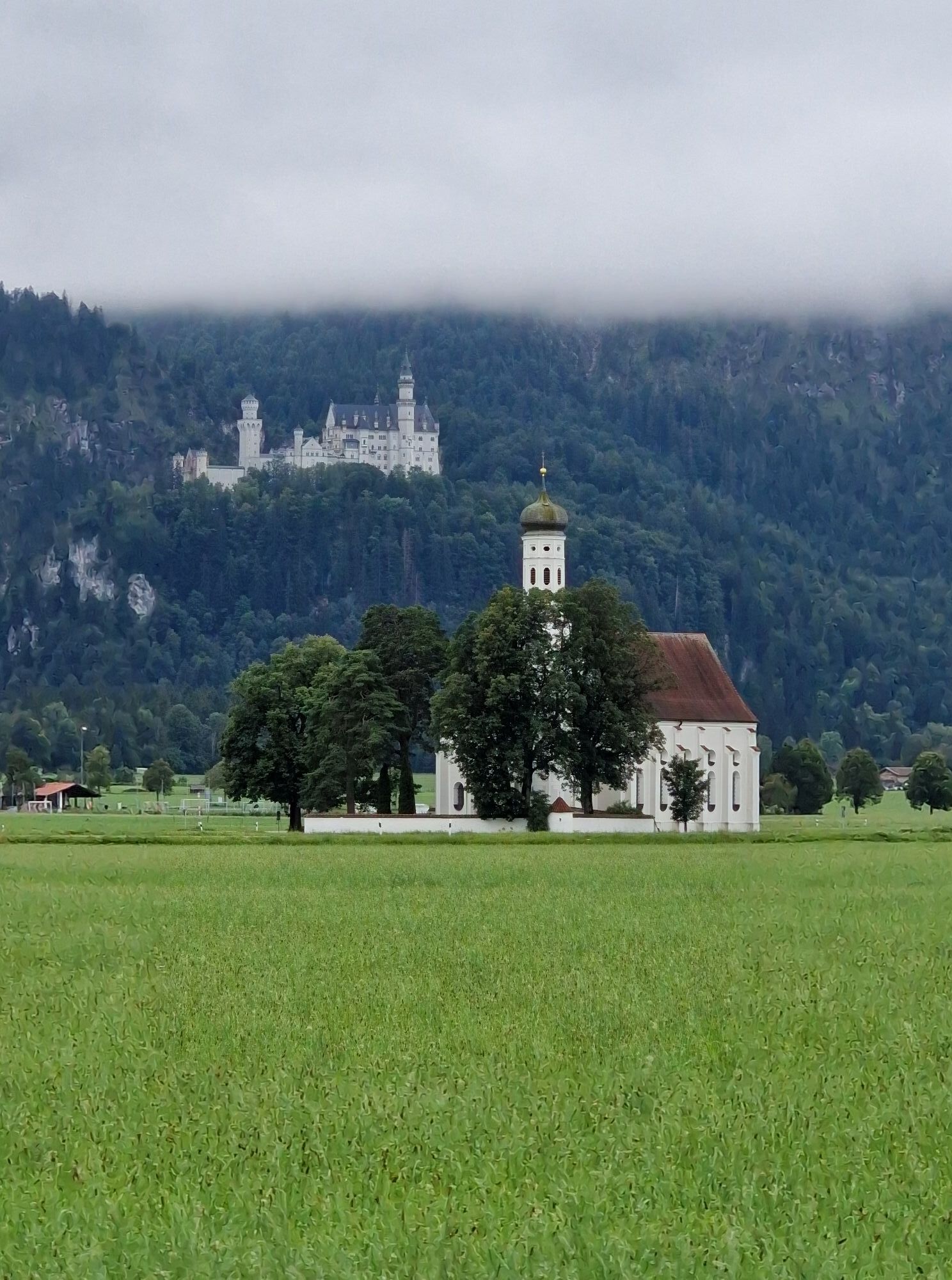
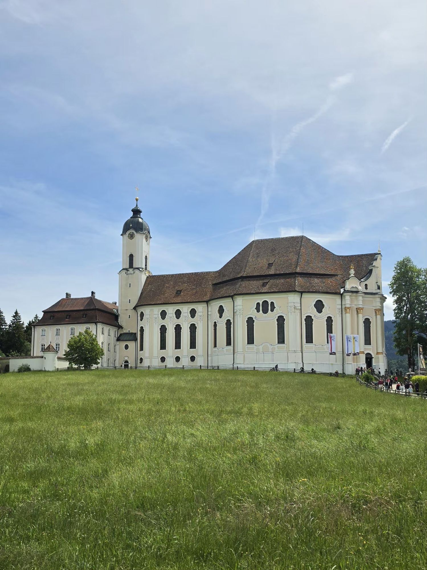
Info: ca. 55 km lang, überwiegend geteert, 500 m zwischen Resle und Wieskirche nur befestigt, ca. 250 hm Strecke: Schwangau – Brunnen – Bannwaldsee – Buching – Halblech – Trauchgau – Oberreithen – Schober...
Info: ca. 55 km lang, überwiegend geteert, 500 m zwischen Resle und Wieskirche nur befestigt, ca. 250 hm
Strecke: Schwangau – Brunnen – Bannwaldsee – Buching – Halblech – Trauchgau – Oberreithen – Schober – Resle – Wieskirche
Anforderung: leicht
Entlang der Romantischen Straße bis zum UNESCO-Weltkulturerbe, dem Rokokojuwel „Wieskirche“. Den Großteil der Strecken (ca. 20 km) fahren Sie auf ruhigen ebenen Wegen, nur auf dem letzten Streckenabschnitt (ca. 9 km) ab der Trauchgauer Almstube befinden sich Anstiege. Zur Besichtigung der Kirche sollte unbedingt Zeit eingeplant werden. Die Rückfahrt erfolgt mit umgekehrter Streckenführung auf dem selben Weg.


Oblíbené prohlídky v okolí
-
4.7
Forggensee round
středníJízda na kole 32.5 km -
4.6
Around Weißensee
světloTuristika 6.12 km -
4.6
Mountain route - Teufelstättkopf
středníTuristika 10.8 km -
4.5
Circular hike Dreh- and Rohrkopfhütte
světloTuristika 8.76 km -
4.1
Drehhütte
světloTuristika 3.34 km -
4.6
Yellow Wall Trail, Tegelberg (A)
středníVia ferrata 3.65 km -
4.9
Tegelberg | Branderschrofen | Neuschwanstein
středníTuristika 14.8 km -
4.4
Cultural trail Schutzengelweg
středníTuristika 5.13 km -
4.7
Hochplatte
středníTuristika 10.4 km -
4.4
Schloß Neuschwanstein und Schwanensee Schwangau, Bayern
středníTuristika 9 km
Pěší turistika a stopování


Nenechte si ujít nabídky a inspiraci pro vaši příští dovolenou
Vaše e-mailová adresa byl přidán do poštovního seznamu.





