




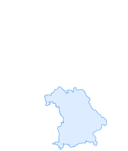

3-day hut route in the mountaineering village Kreuth
Fotografie našich uživatelů
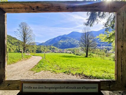
 © Michi SteiertVytvořeno dne 03.05.2026
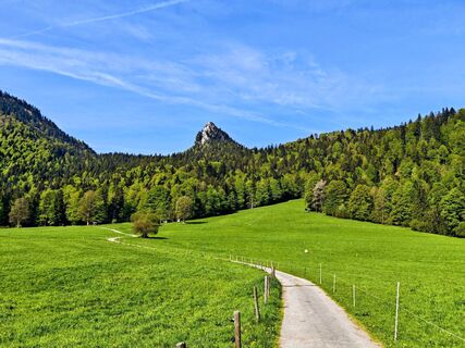 © Michi SteiertVytvořeno dne 03.05.2026
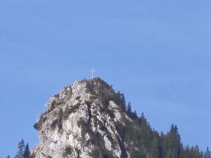 © Michi SteiertVytvořeno dne 03.05.2026
 © Michi SteiertVytvořeno dne 03.05.2026
 © Michi SteiertVytvořeno dne 11.04.2026
 © Michi SteiertVytvořeno dne 11.04.2026
 © Michi SteiertVytvořeno dne 11.04.2026
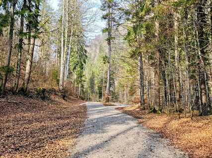 © Michi SteiertVytvořeno dne 21.03.2026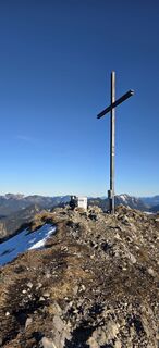
 © Juri Herre & RockyVytvořeno dne 29.12.2025
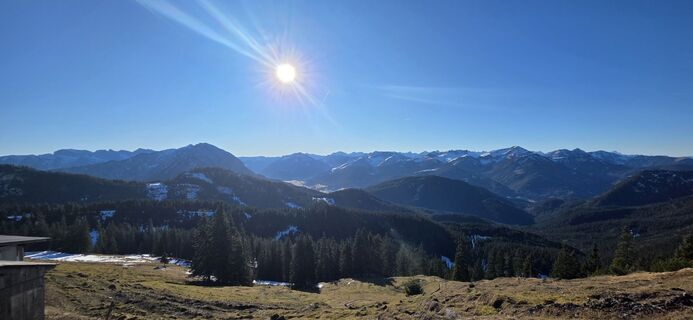 © Juri Herre & RockyVytvořeno dne 29.12.2025
 © JannisVytvořeno dne 21.09.2025
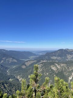 © JannisVytvořeno dne 21.09.2025
 © Daniel RößnerVytvořeno dne 20.09.2025
 © Daniel RößnerVytvořeno dne 20.09.2025
 © Daniel RößnerVytvořeno dne 20.09.2025
 © Daniel RößnerVytvořeno dne 20.09.2025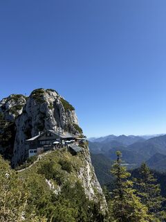
 © Hülya_KayaVytvořeno dne 20.09.2025
 © Hülya_KayaVytvořeno dne 20.09.2025
 © Hülya_KayaVytvořeno dne 20.09.2025
 © Hülya_KayaVytvořeno dne 20.09.2025
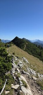 © Daniel RößnerVytvořeno dne 20.09.2025
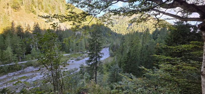 © Daniel RößnerVytvořeno dne 20.09.2025
 © Daniel RößnerVytvořeno dne 20.09.2025
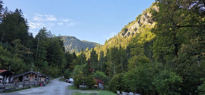 © Daniel RößnerVytvořeno dne 20.09.2025
 © se_muckVytvořeno dne 19.08.2025
 © se_muckVytvořeno dne 19.08.2025
 © se_muckVytvořeno dne 19.08.2025
 © se_muckVytvořeno dne 19.08.2025
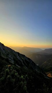 © se_muckVytvořeno dne 19.08.2025
 © se_muckVytvořeno dne 19.08.2025
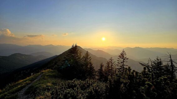 © se_muckVytvořeno dne 19.08.2025
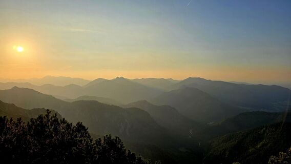 © se_muckVytvořeno dne 19.08.2025
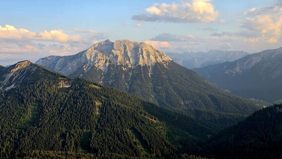 © se_muckVytvořeno dne 19.08.2025
 © se_muckVytvořeno dne 19.08.2025
 © se_muckVytvořeno dne 19.08.2025
 © se_muckVytvořeno dne 19.08.2025
 © se_muckVytvořeno dne 19.08.2025
 © se_muckVytvořeno dne 19.08.2025
 © se_muckVytvořeno dne 19.08.2025
 © se_muckVytvořeno dne 19.08.2025
 © Florian HVytvořeno dne 19.08.2025
 © Florian HVytvořeno dne 19.08.2025
 © Florian HVytvořeno dne 19.08.2025
 © Florian HVytvořeno dne 19.08.2025
 © Florian HVytvořeno dne 19.08.2025
 © se_muckVytvořeno dne 19.10.2024
 © se_muckVytvořeno dne 19.10.2024
 © se_muckVytvořeno dne 19.10.2024

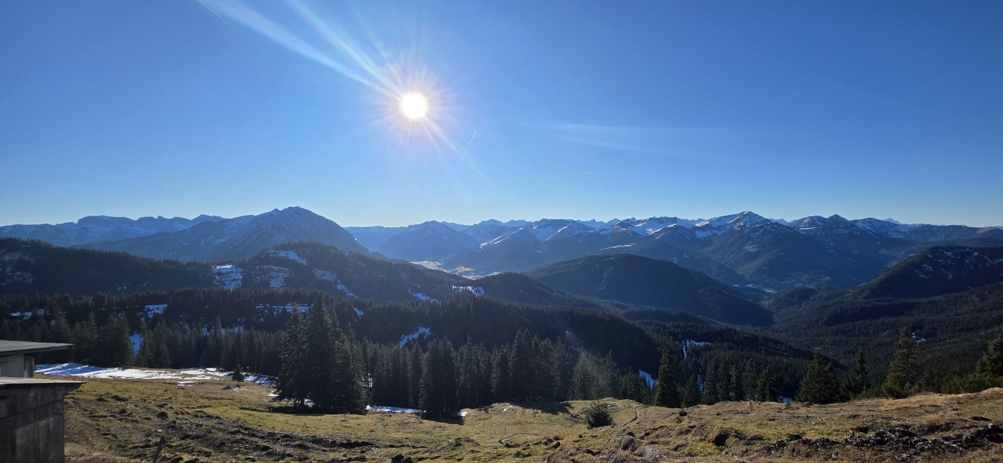
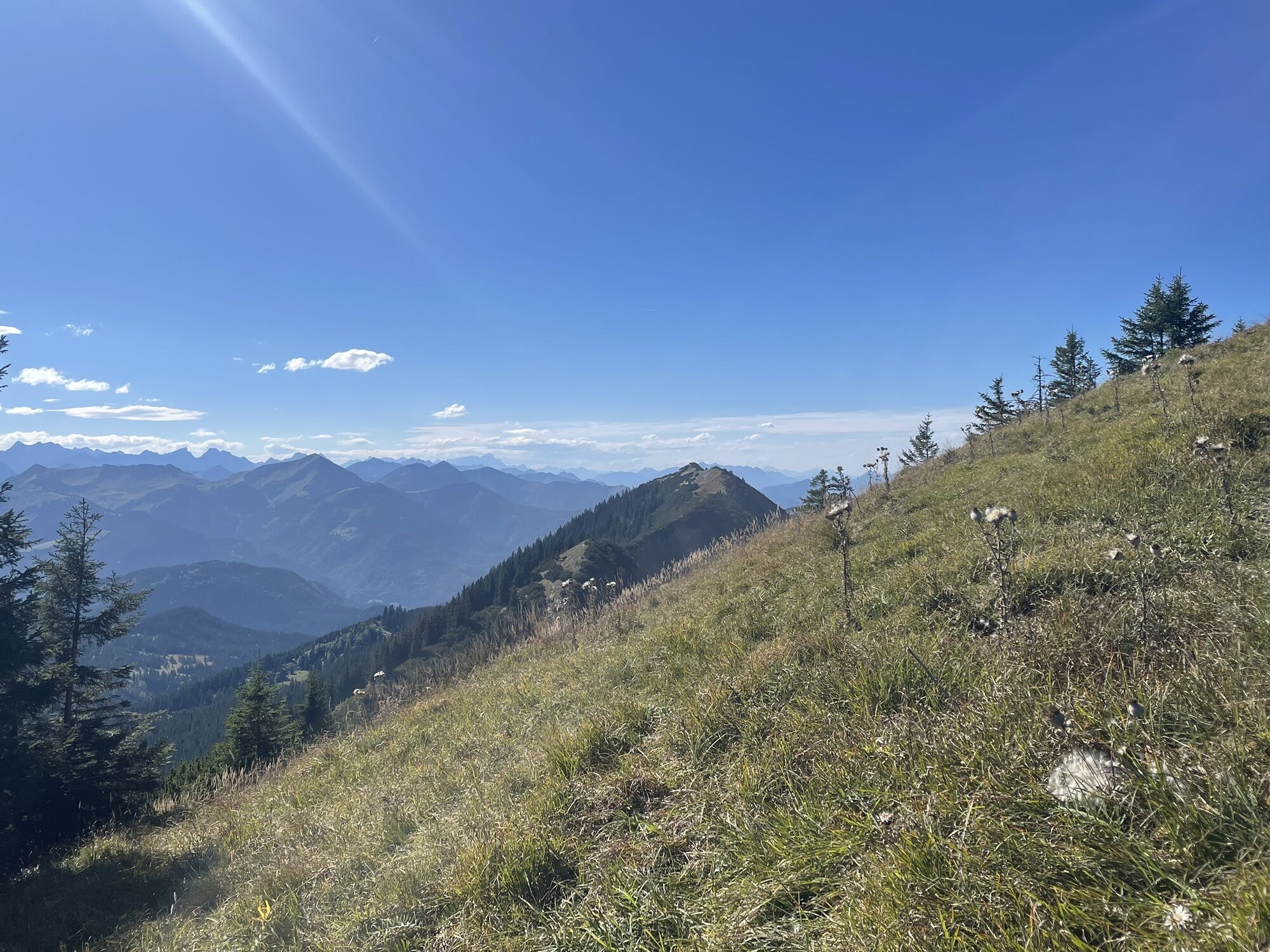
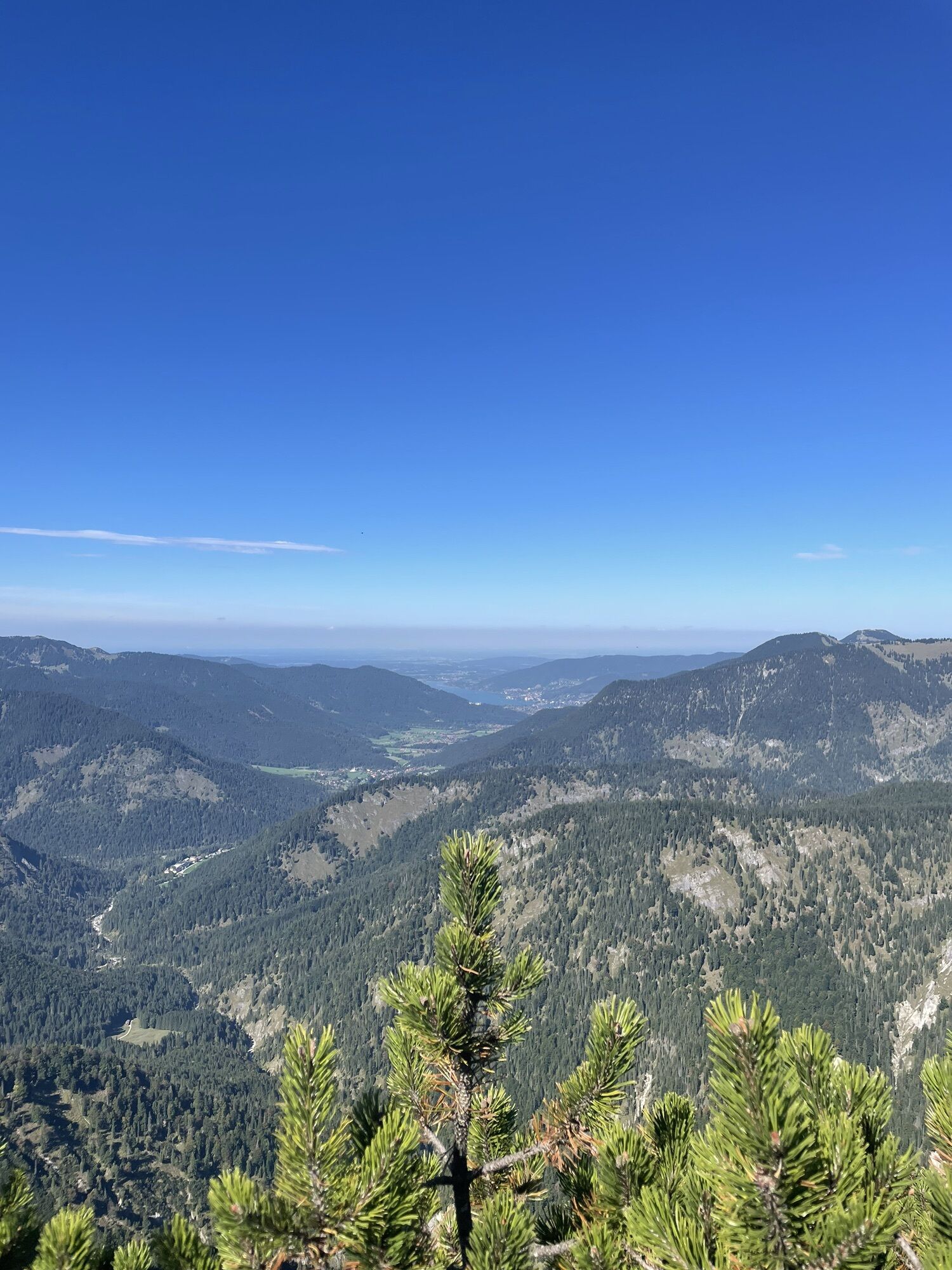
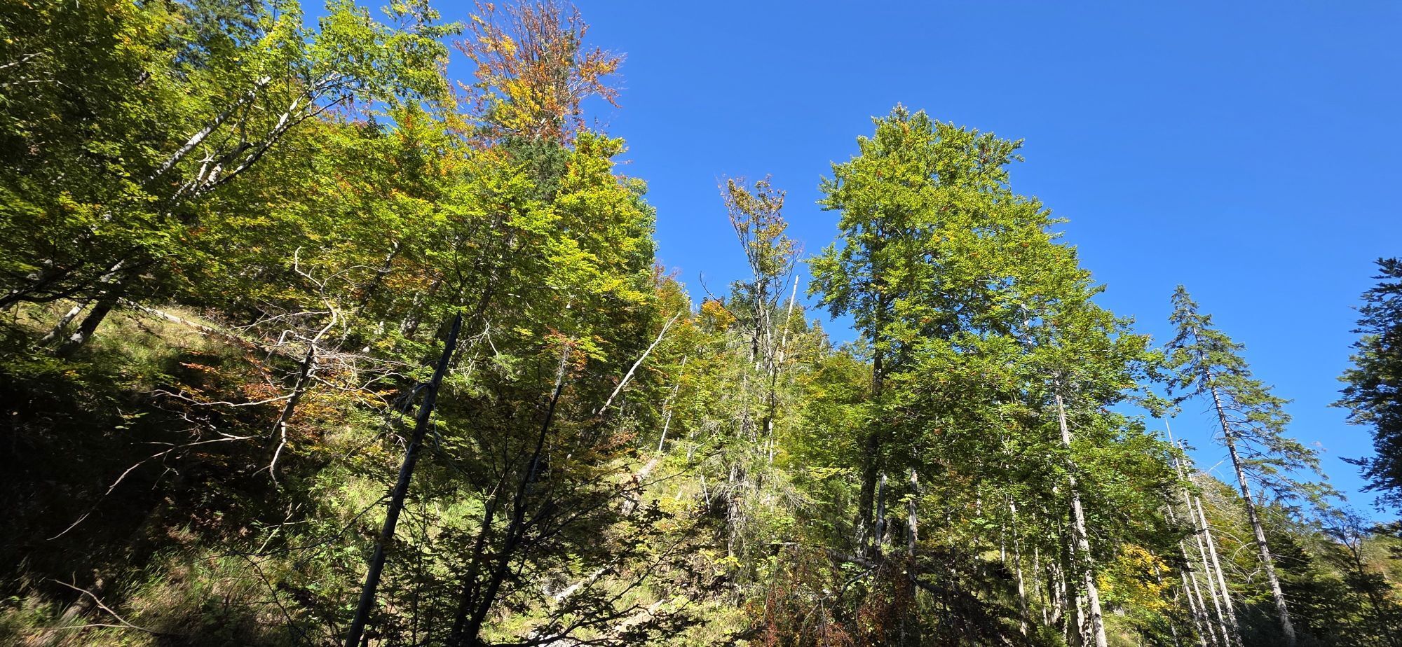
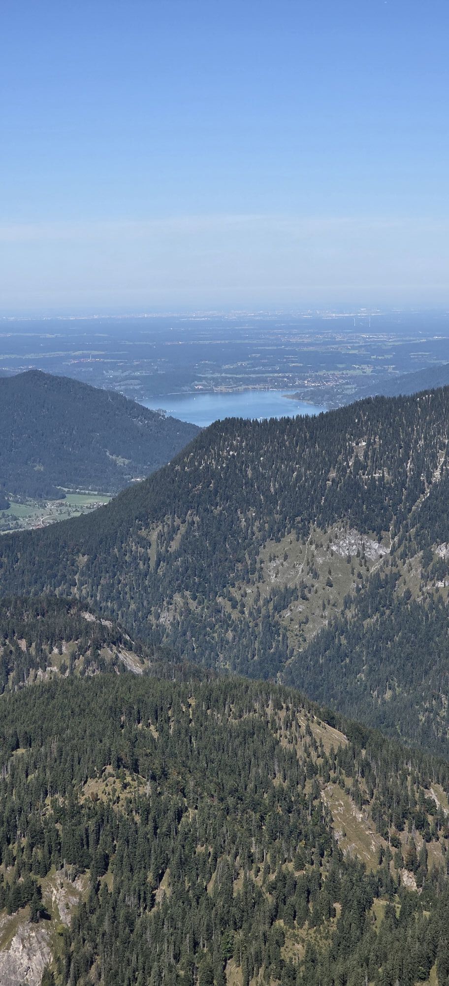
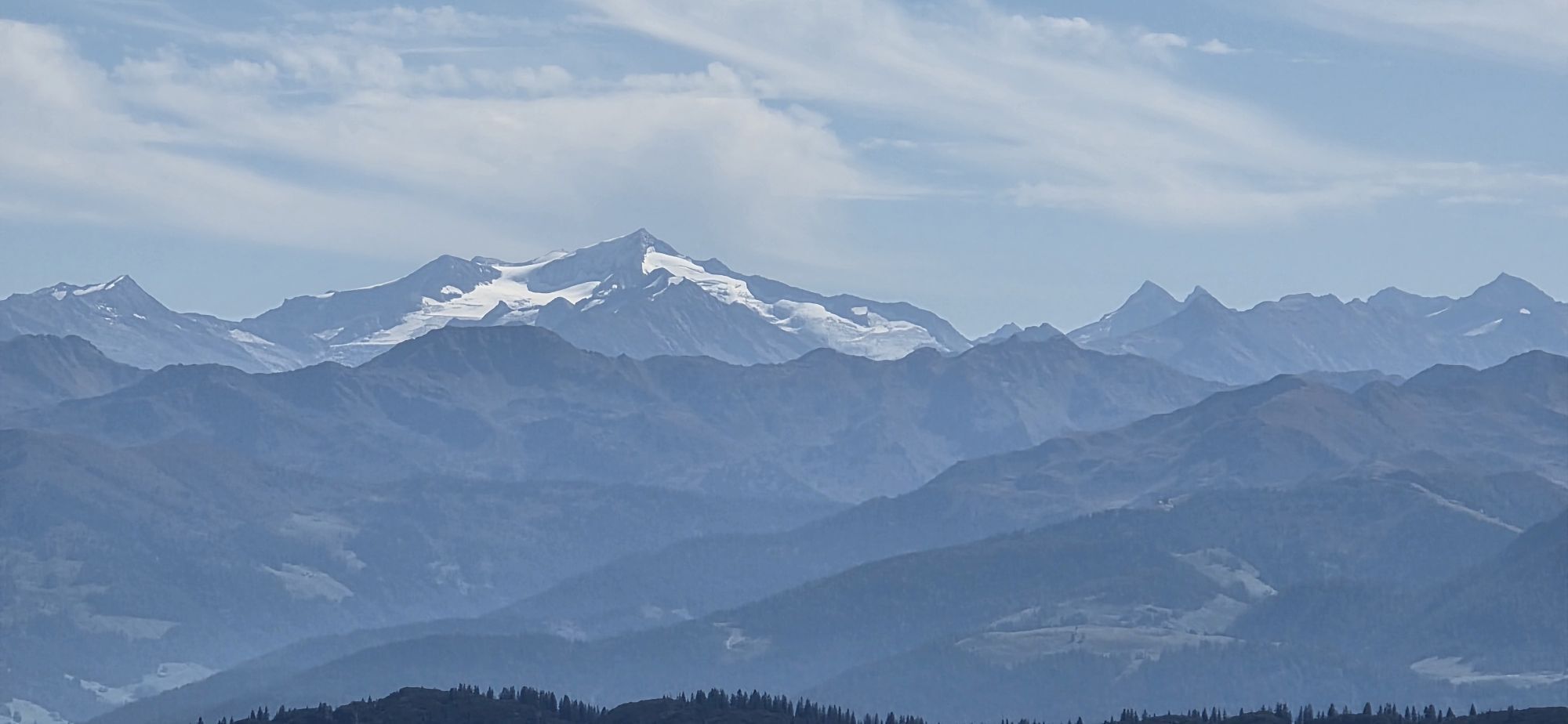
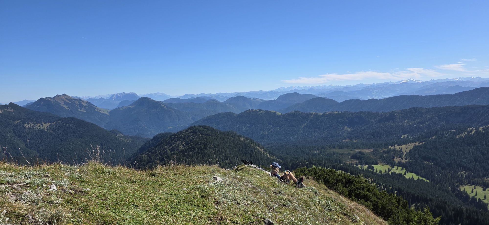
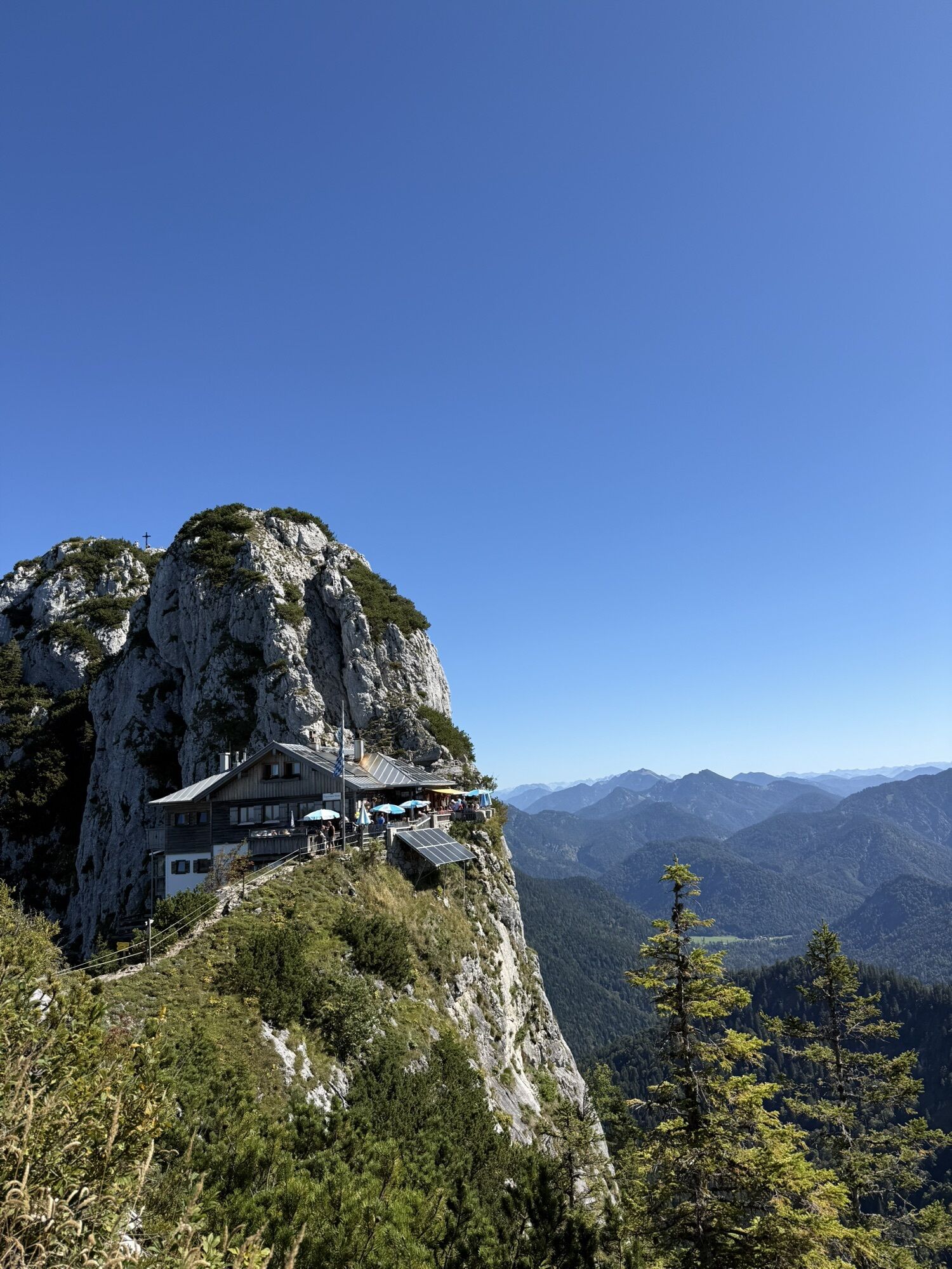
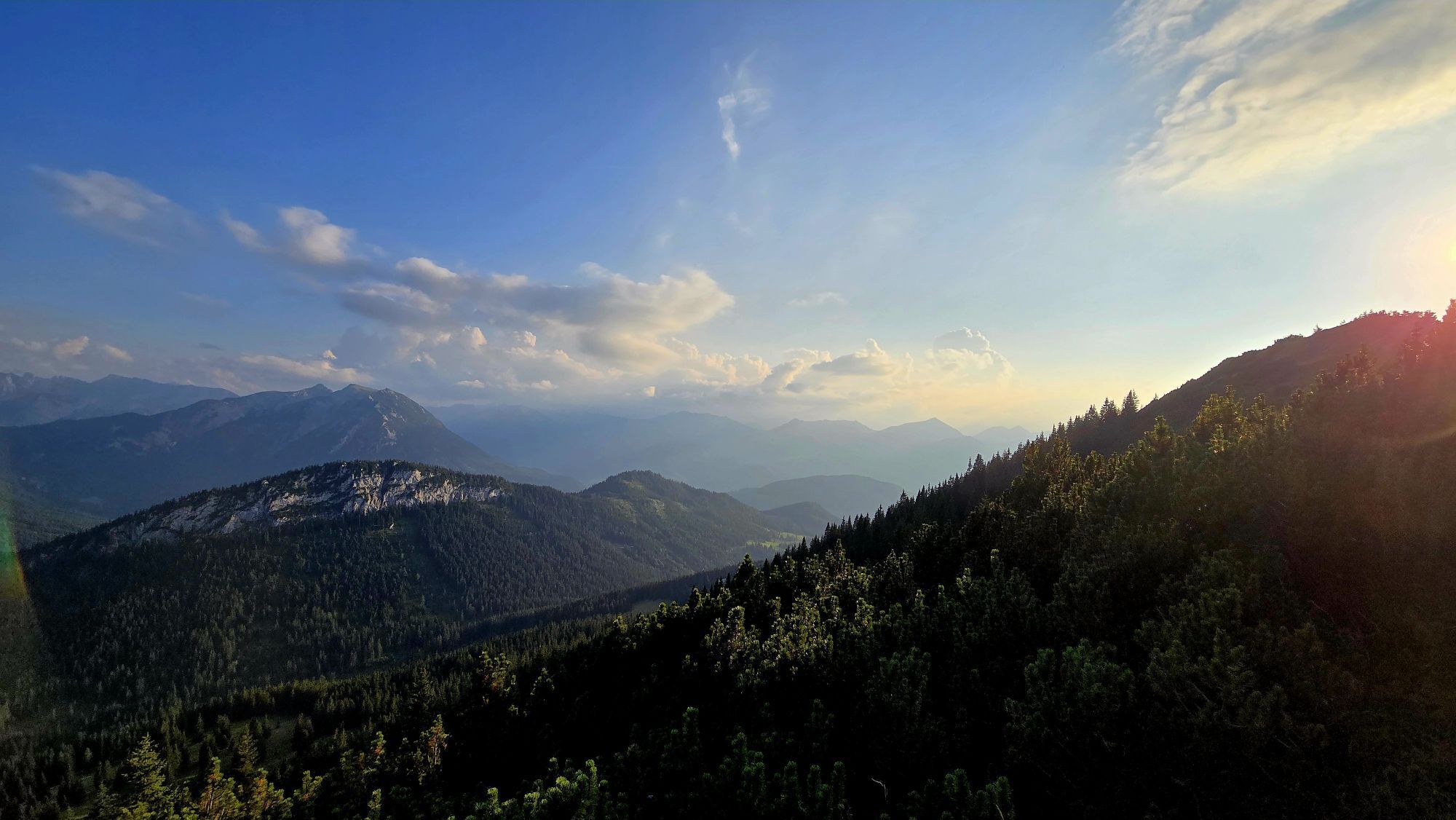
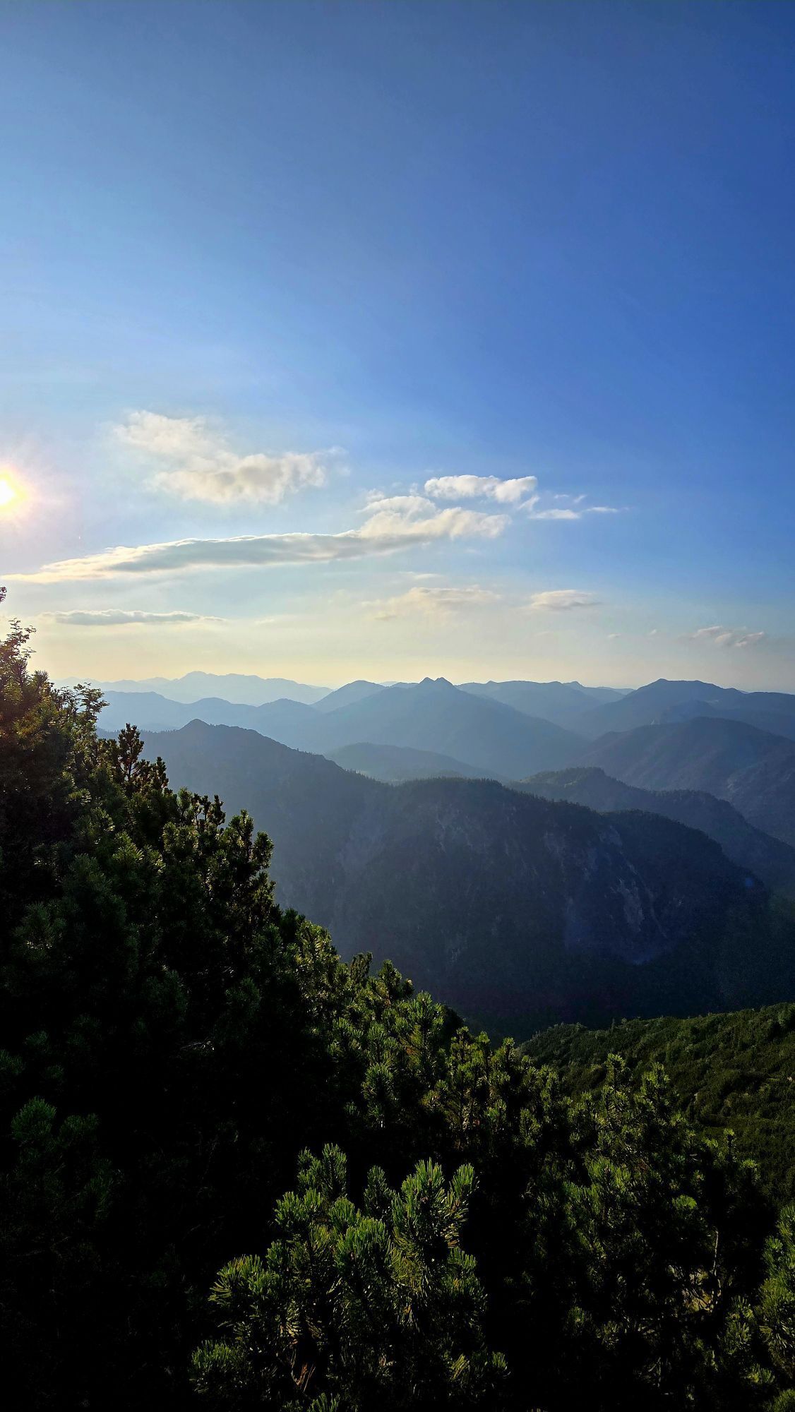
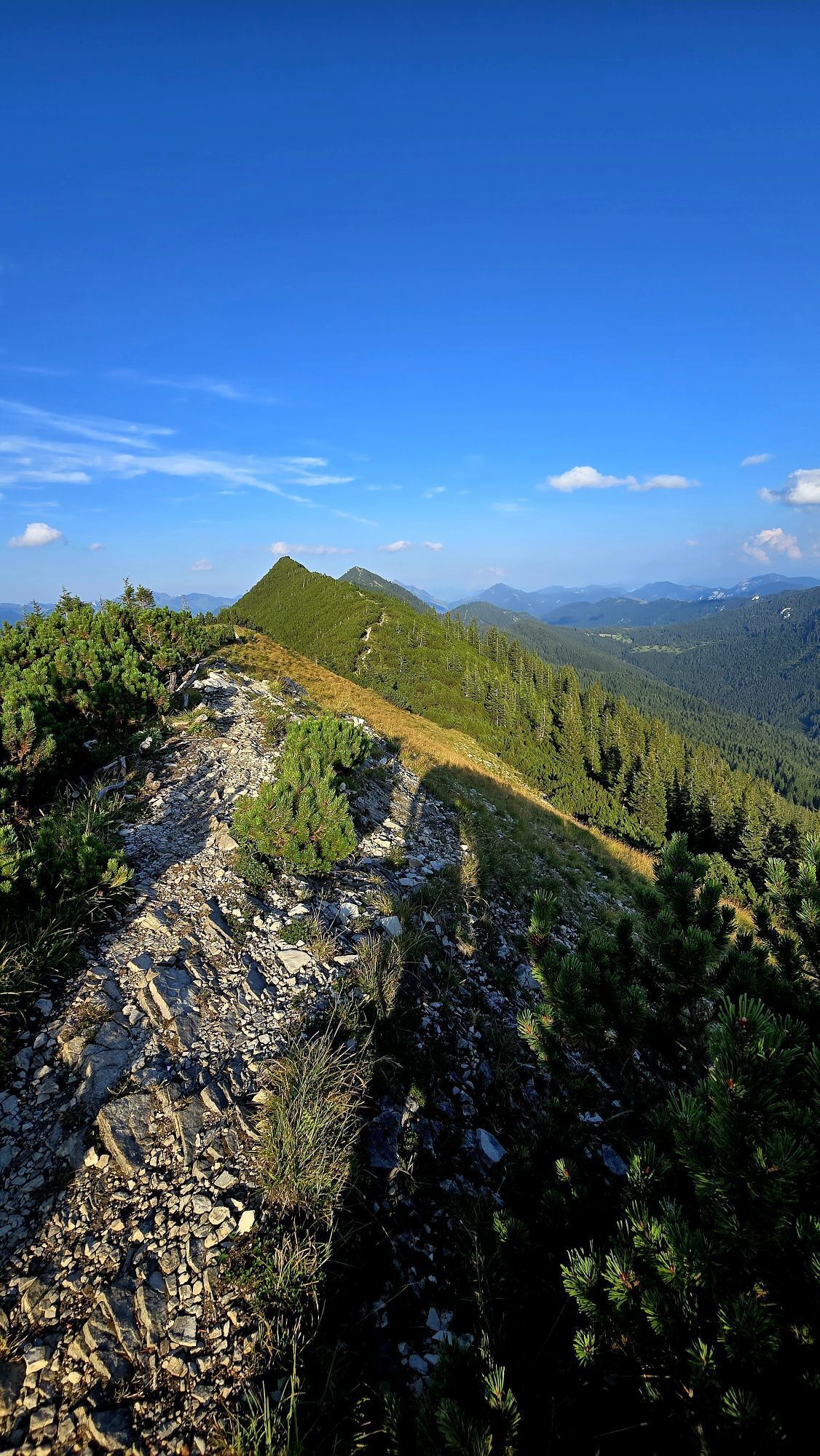
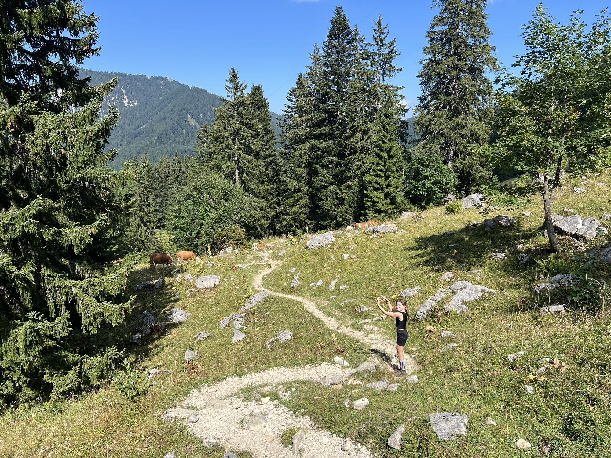
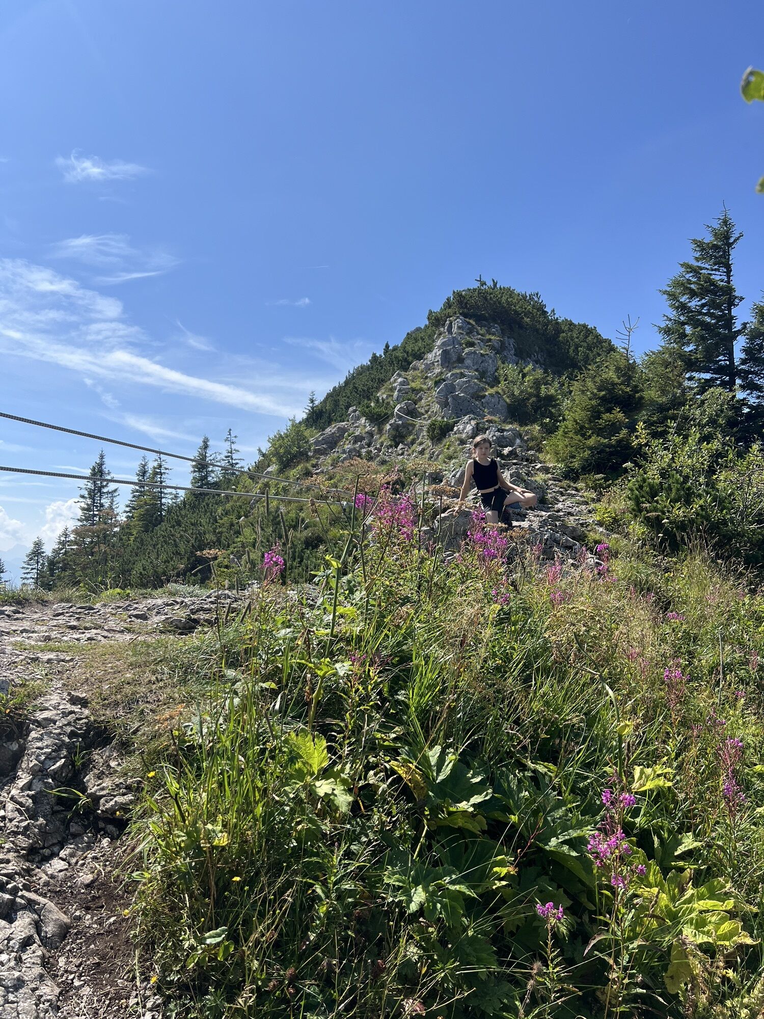
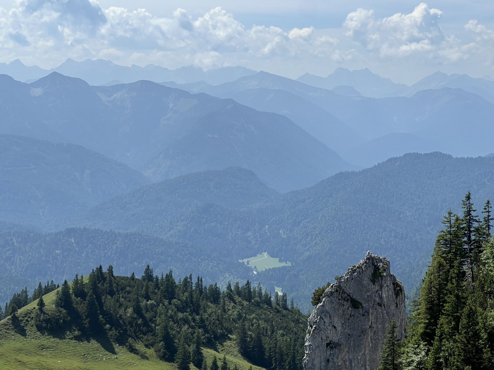
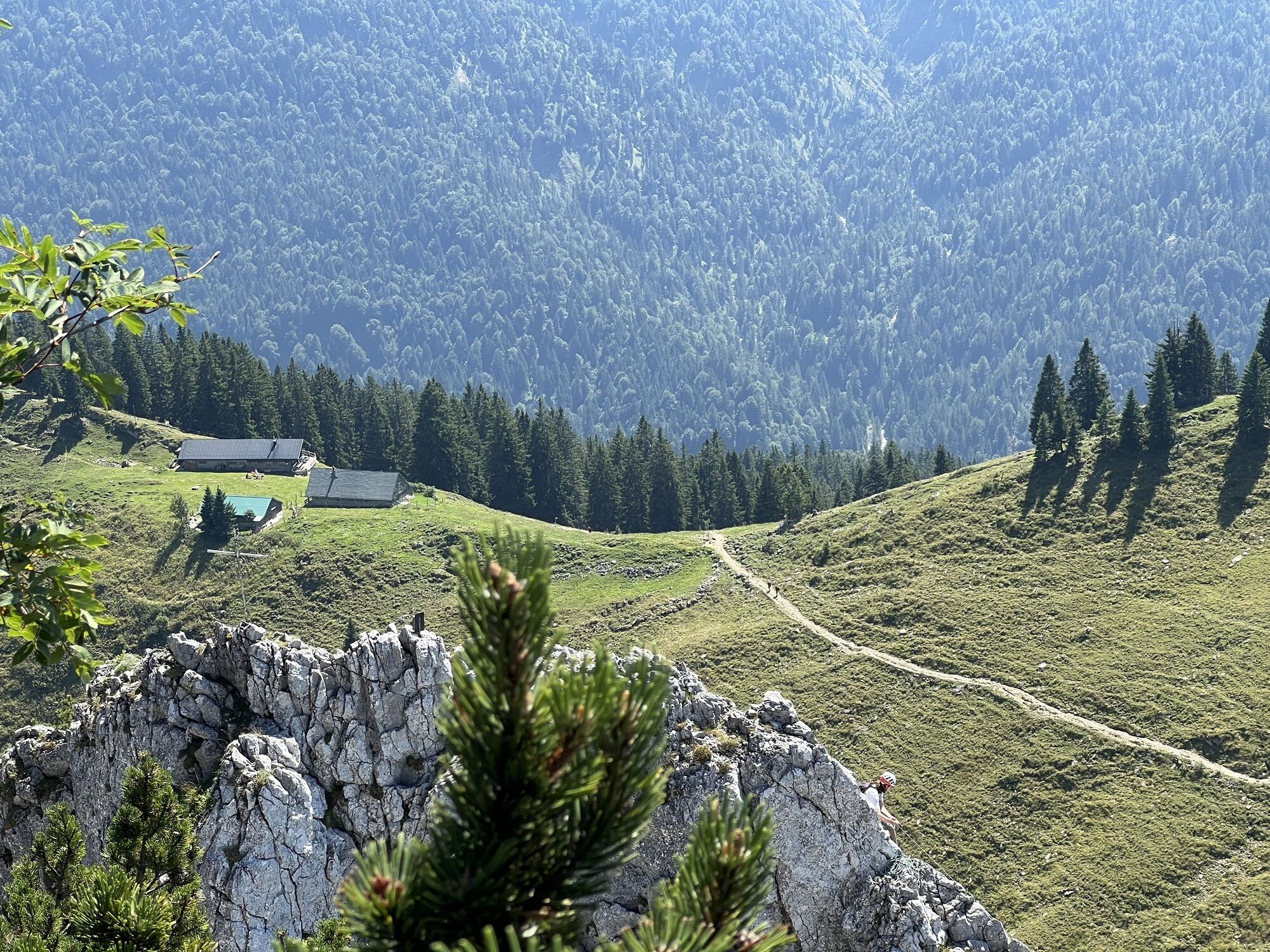

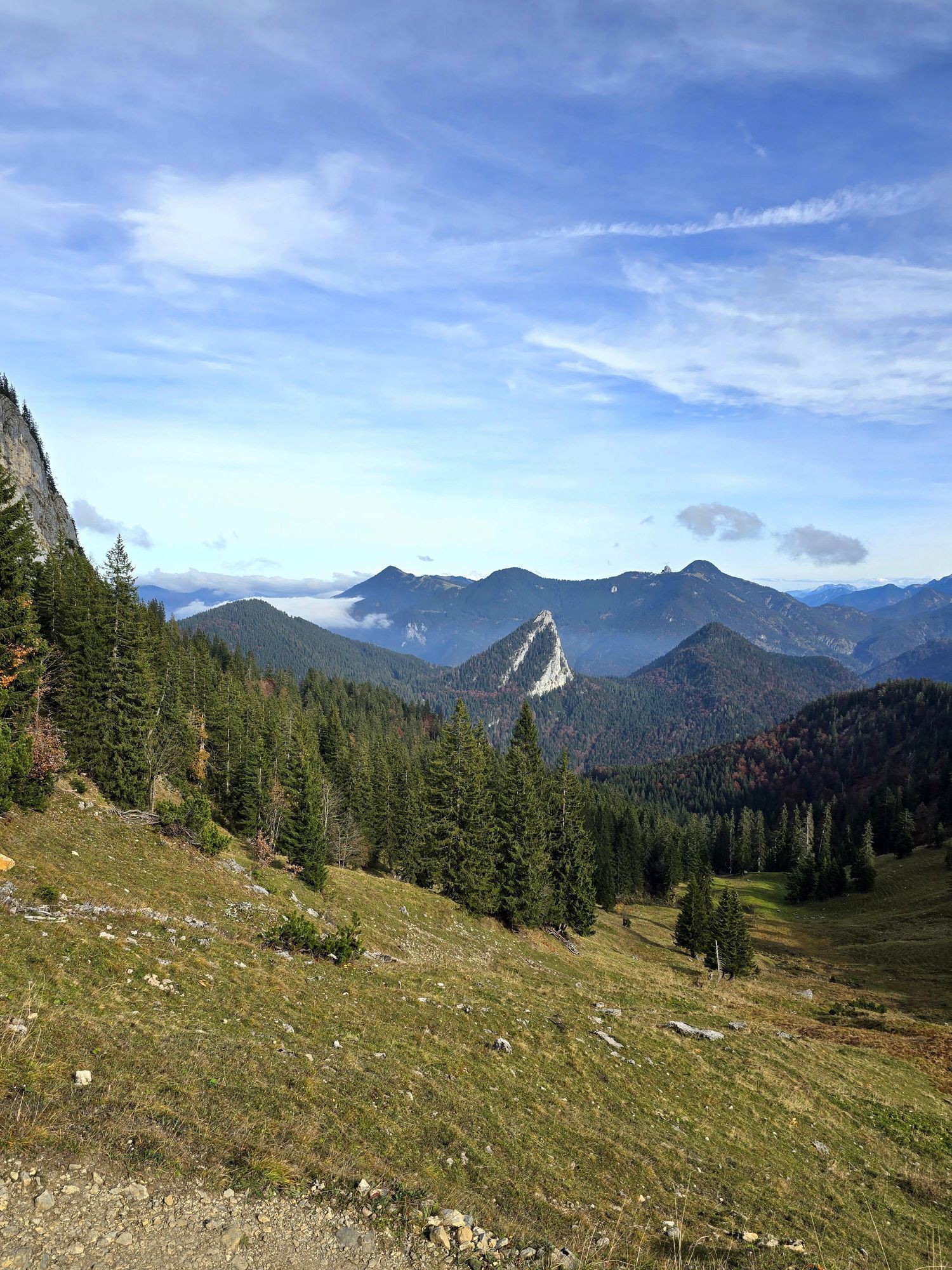
1st stage:
Kreuth - Halserspitz summit and Guffert hut (Alternatively overnight stay at Blaubergalm)
Distance:
5-6 hours
15 km
↑1160 m
↓470 m
2nd stage: This is also the largest and longest section.
...1st stage:
Kreuth - Halserspitz summit and Guffert hut (Alternatively overnight stay at Blaubergalm)
Distance:
5-6 hours
15 km
↑1160 m
↓470 m
2nd stage: This is also the largest and longest section.
Guffert hut - Blauberg ridge - Blaubergalm - Königsalm - Klamm - Bayerwald - Roß- and Buchstein - Tegernsee hut
Distance:
7.5-9 hours
19 km
↑1400 m
↓1300 m
3rd stage:
Tegernsee hut - Buchsteinhütte - Schwarzentenn - Leonhardstein saddle - Duslau - Kreuth
Distance:
4-5 hours
9.3 km
↑220 m
↓1010 m
Summits:
Halserspitz, Blaubergkopf, Predigtstuhl, Schildenstein, Roß- and Buchstein
Additionally, Leonhardstein would be possible on the last day.
Overnight possibilities:
Guffert hut - Blauberg-Alm - Tegernsee hut - Buchsteinhütte - Kreuth
Please reserve hut overnight stays carefully during the season!
The route can also be done counterclockwise.



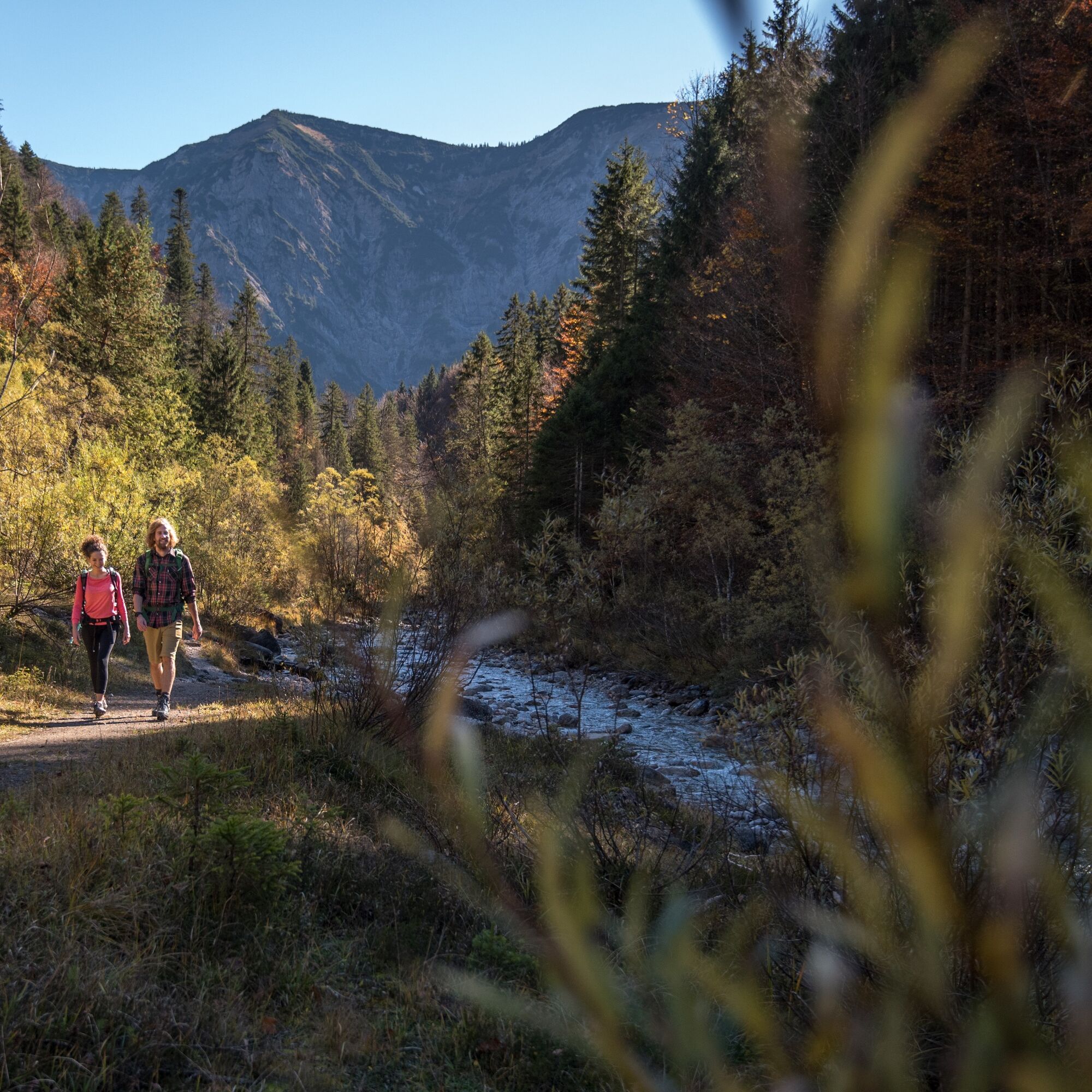
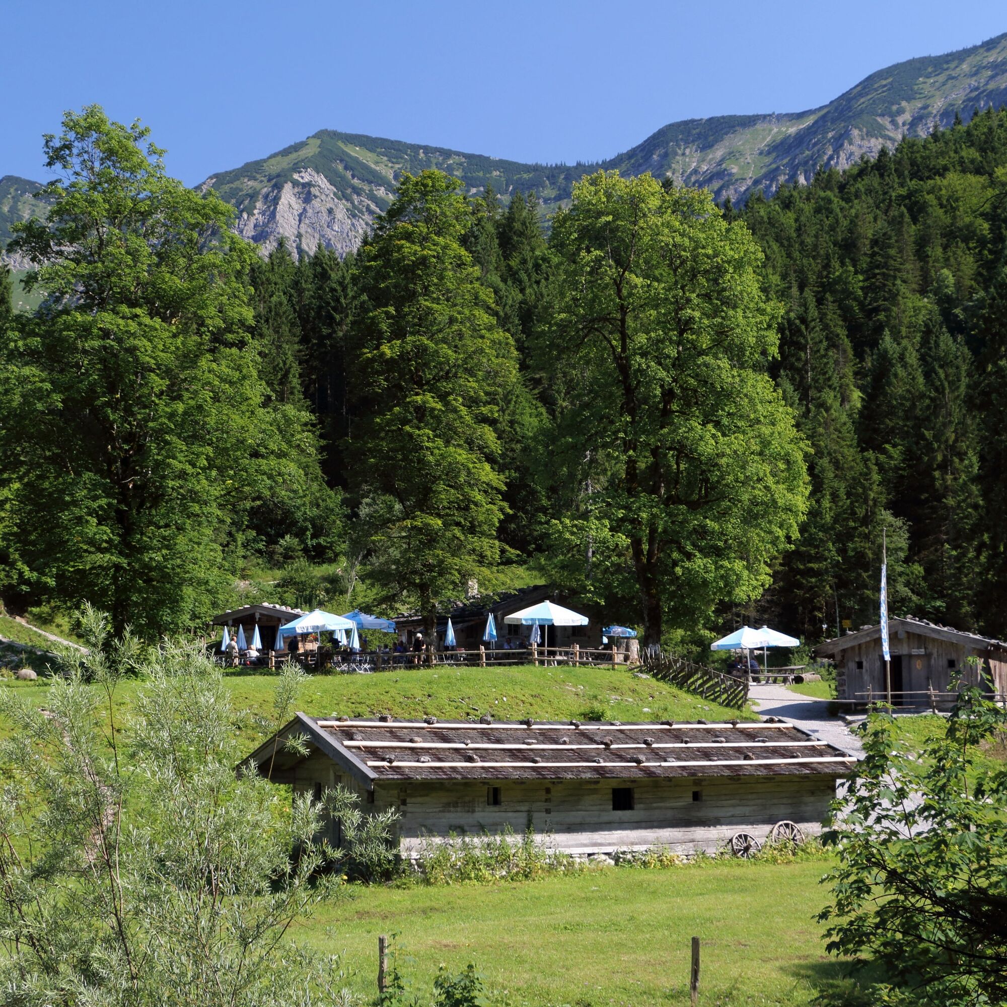
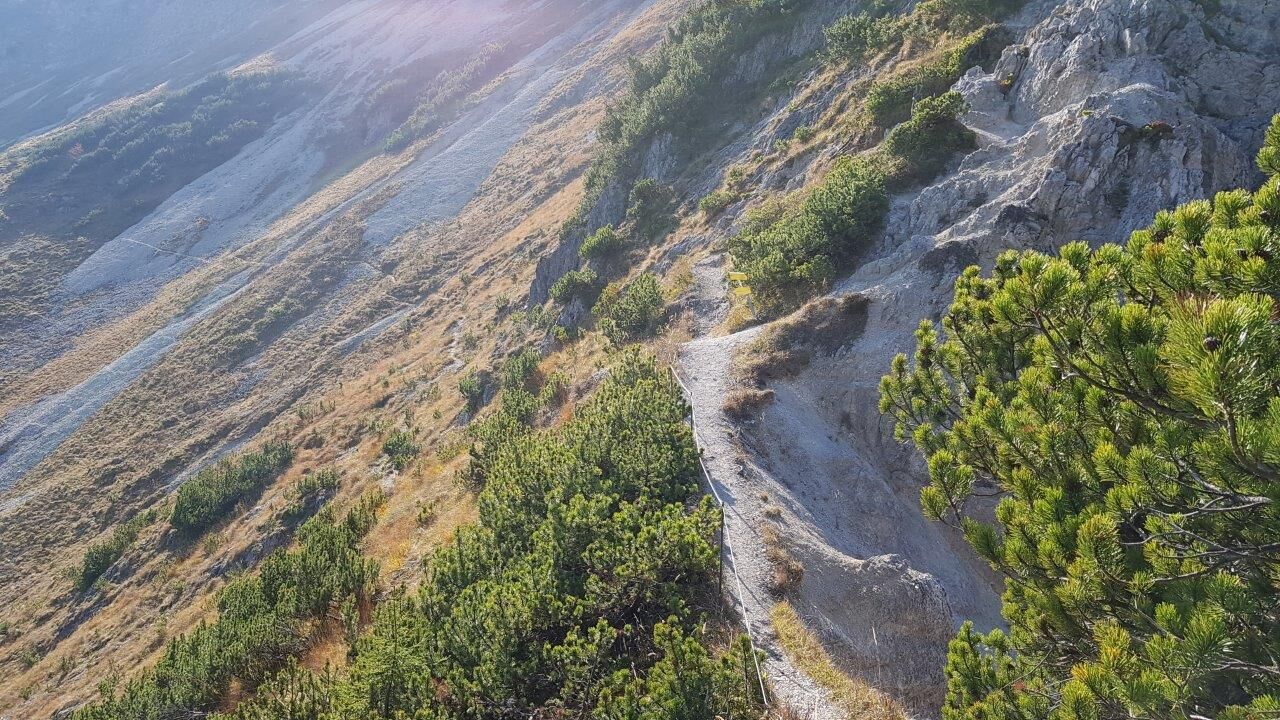
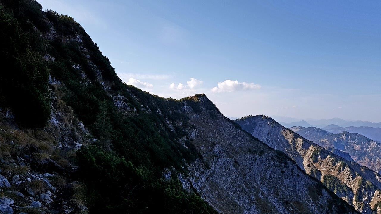
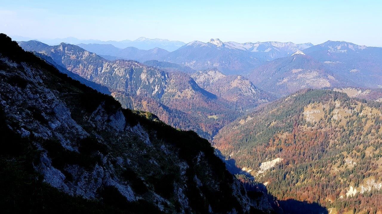
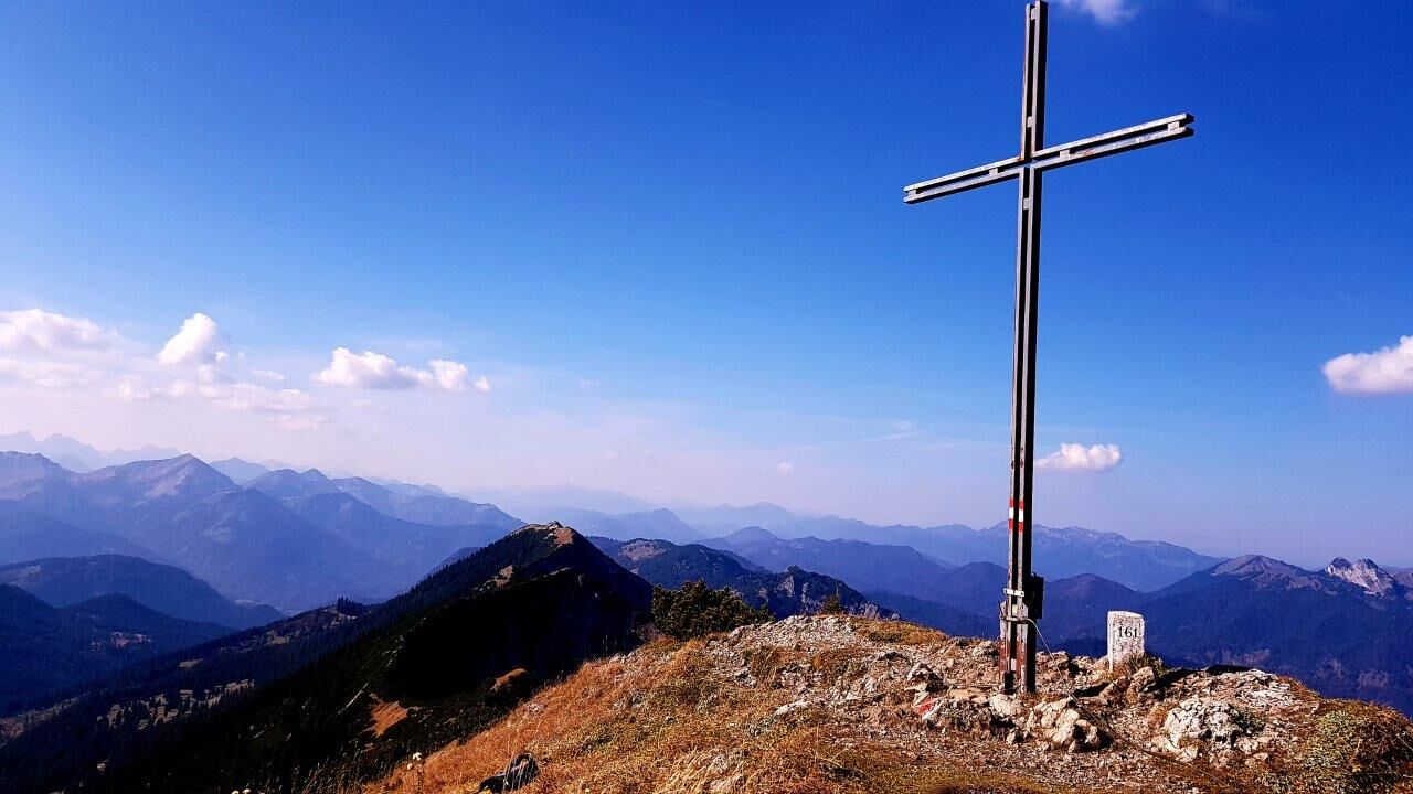
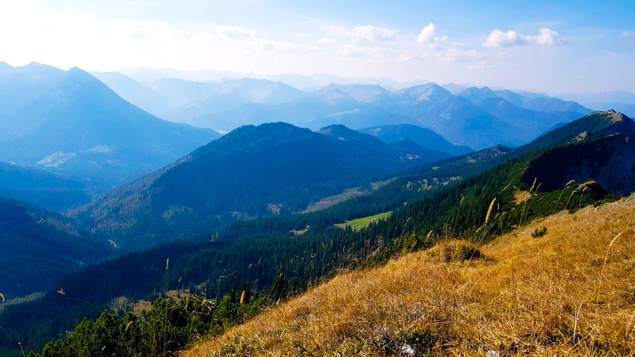
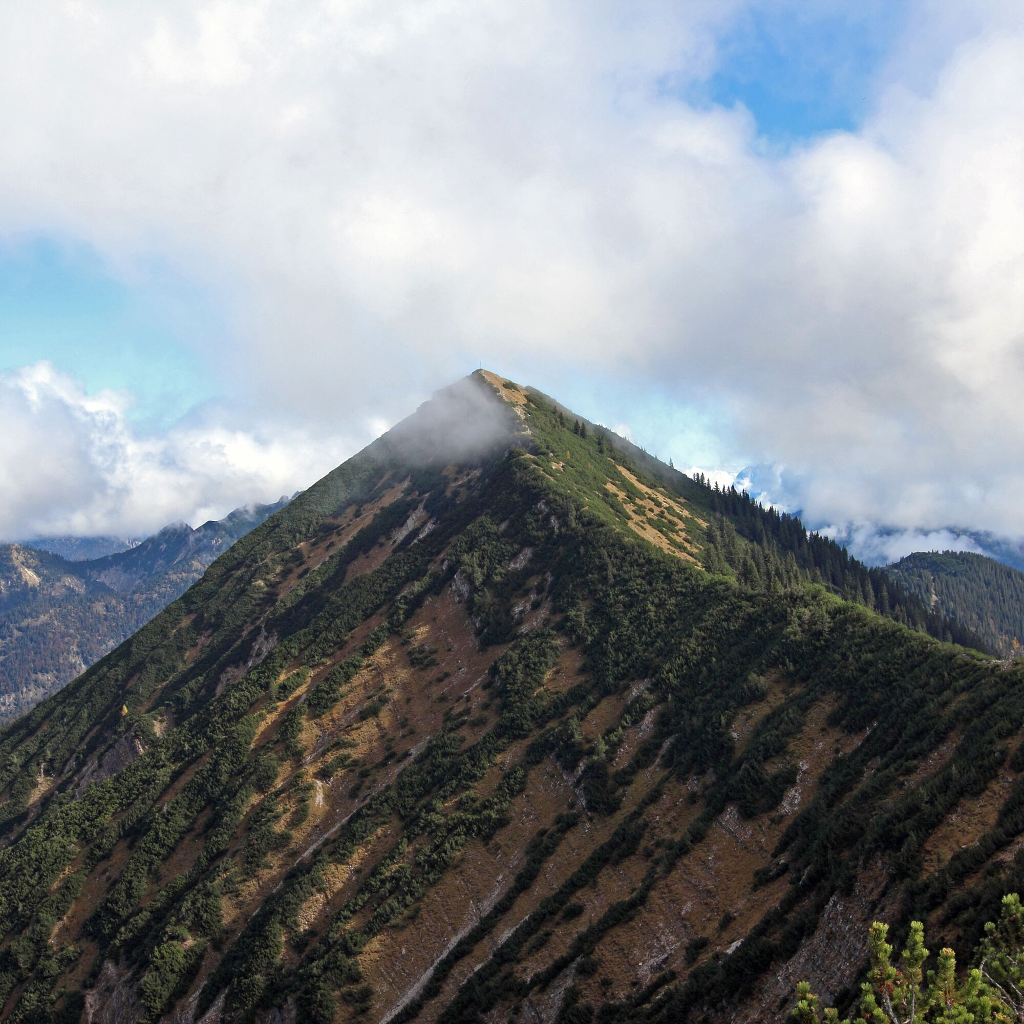

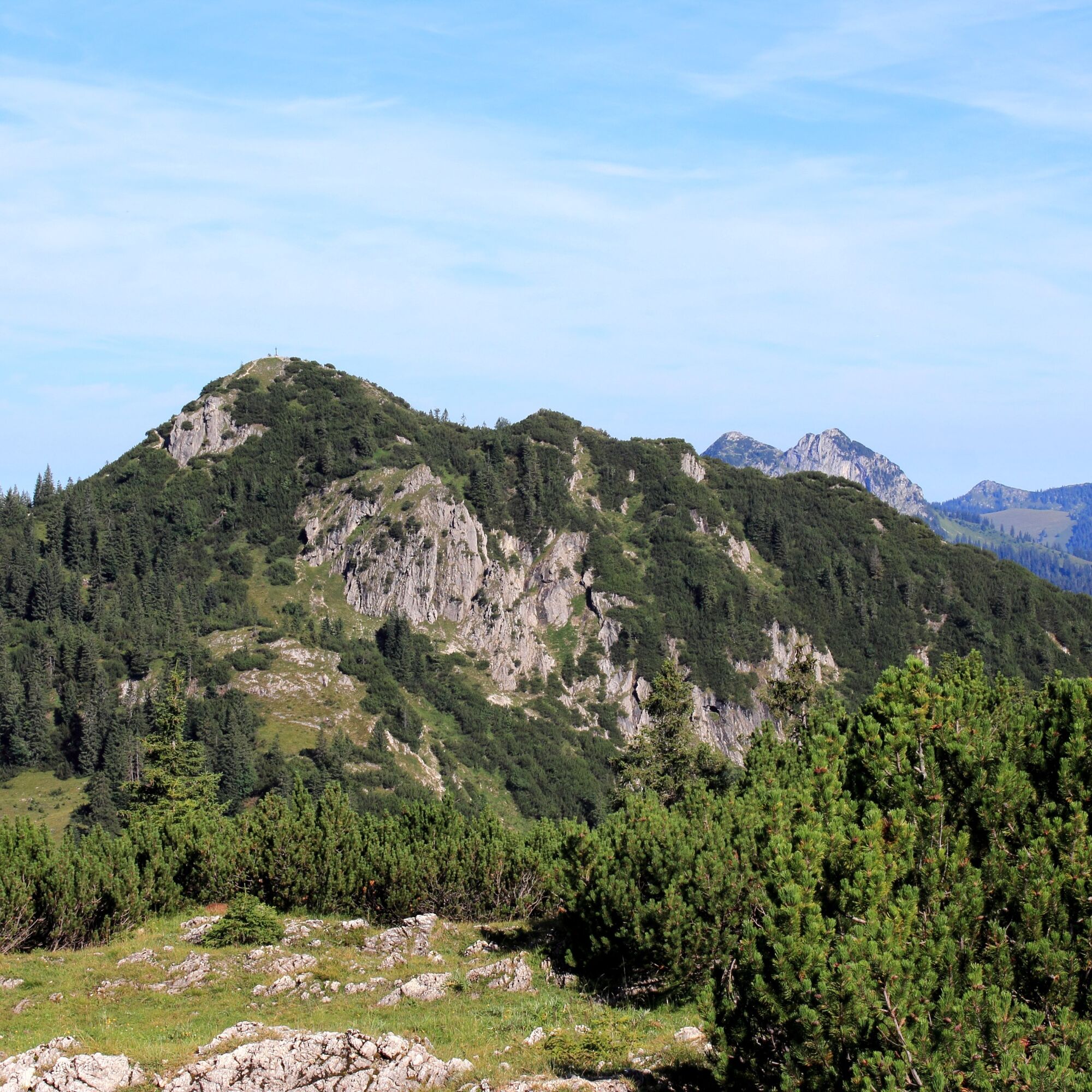
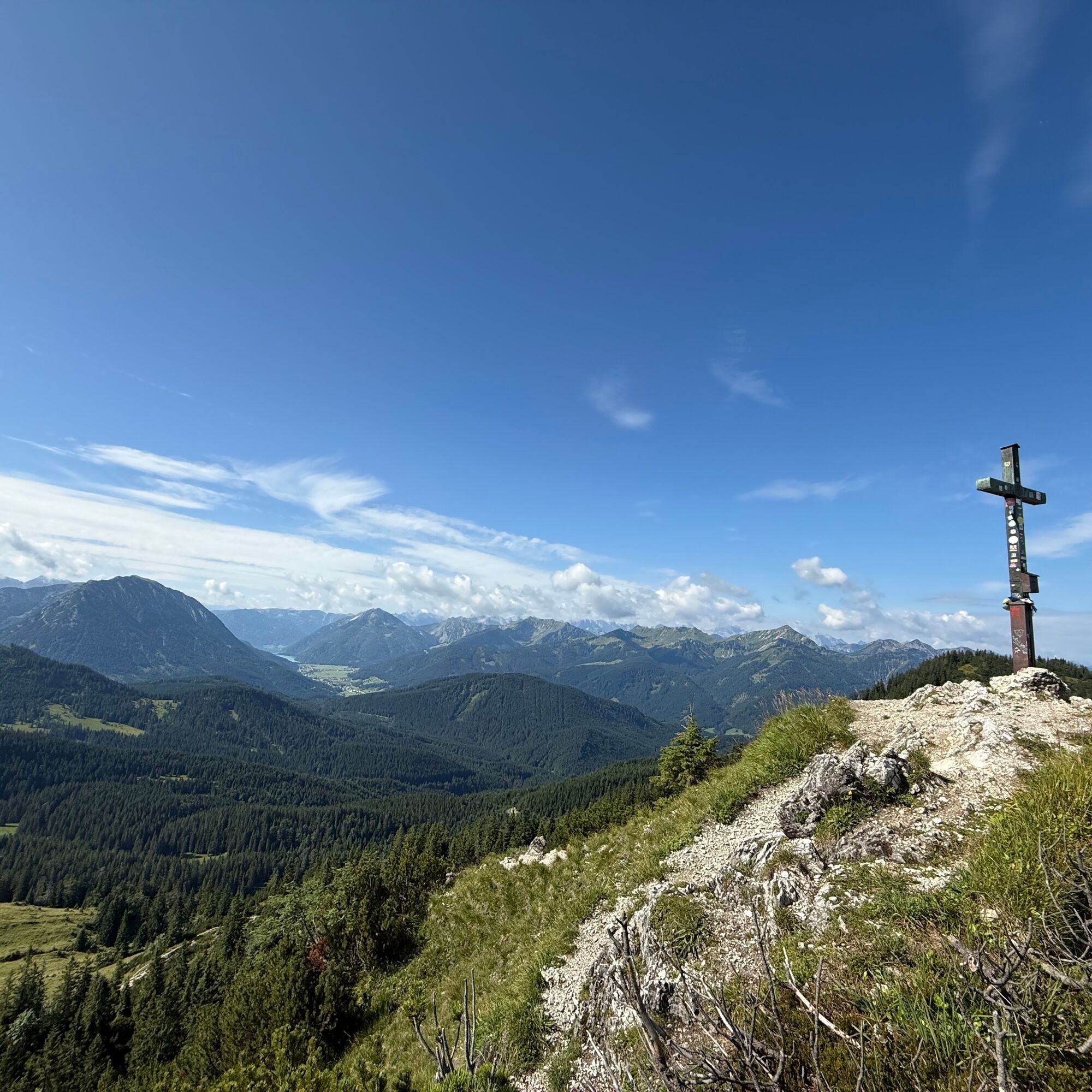
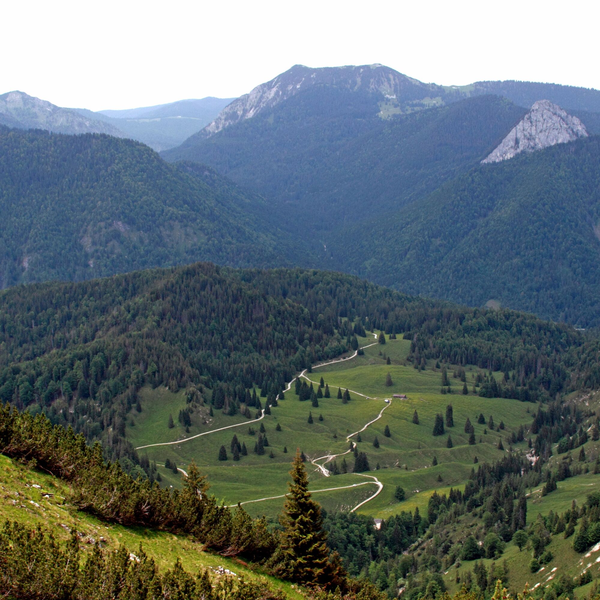

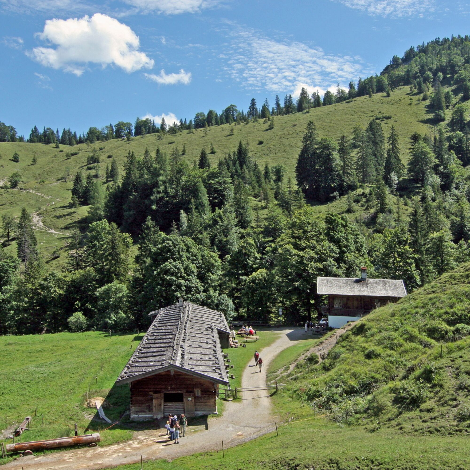
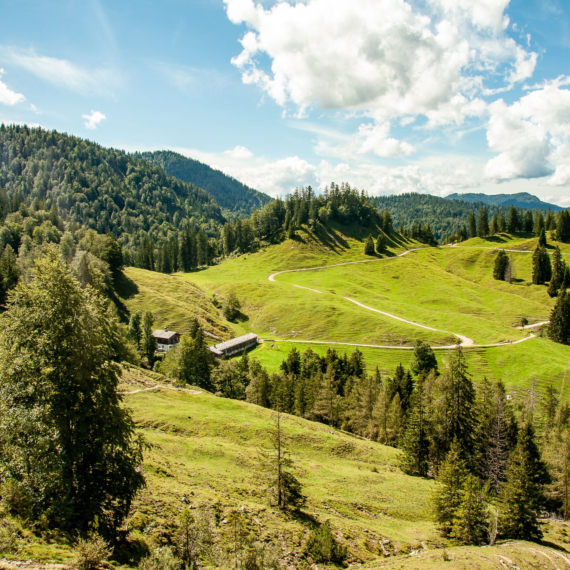
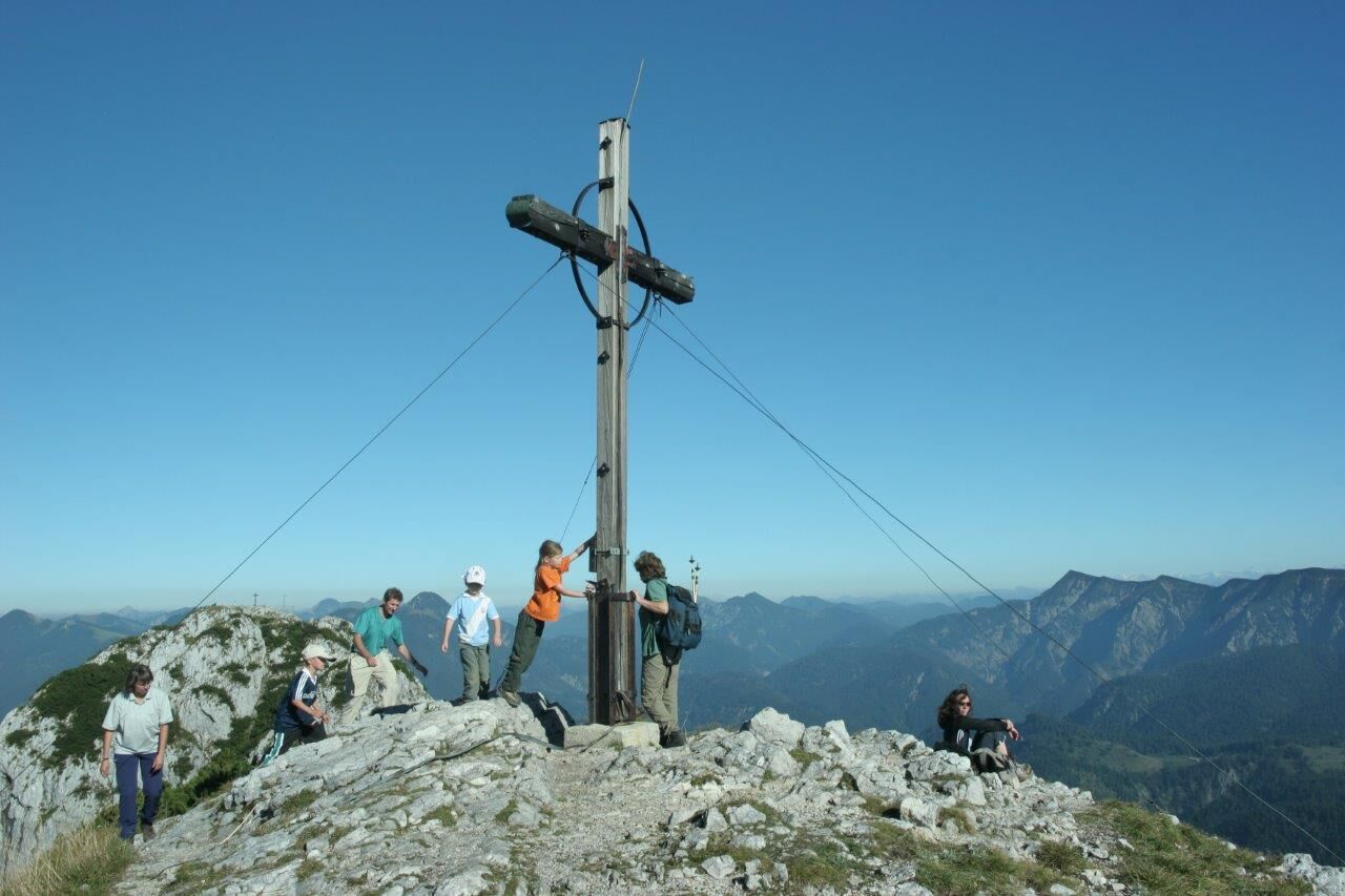
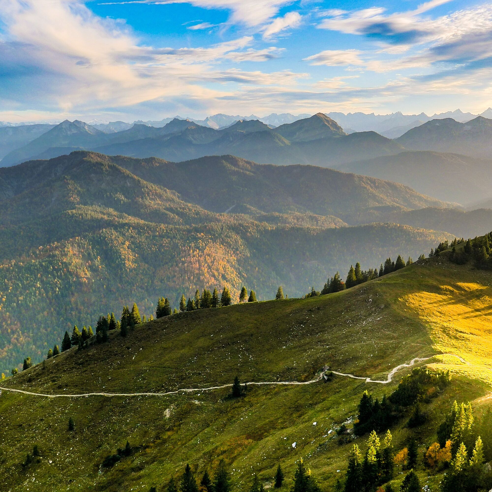
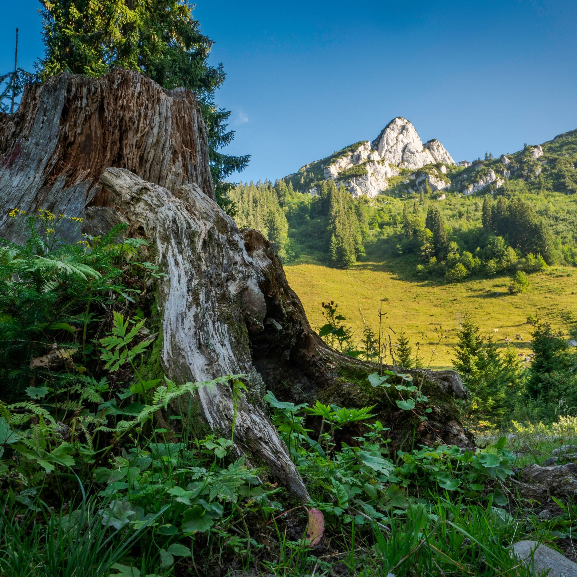

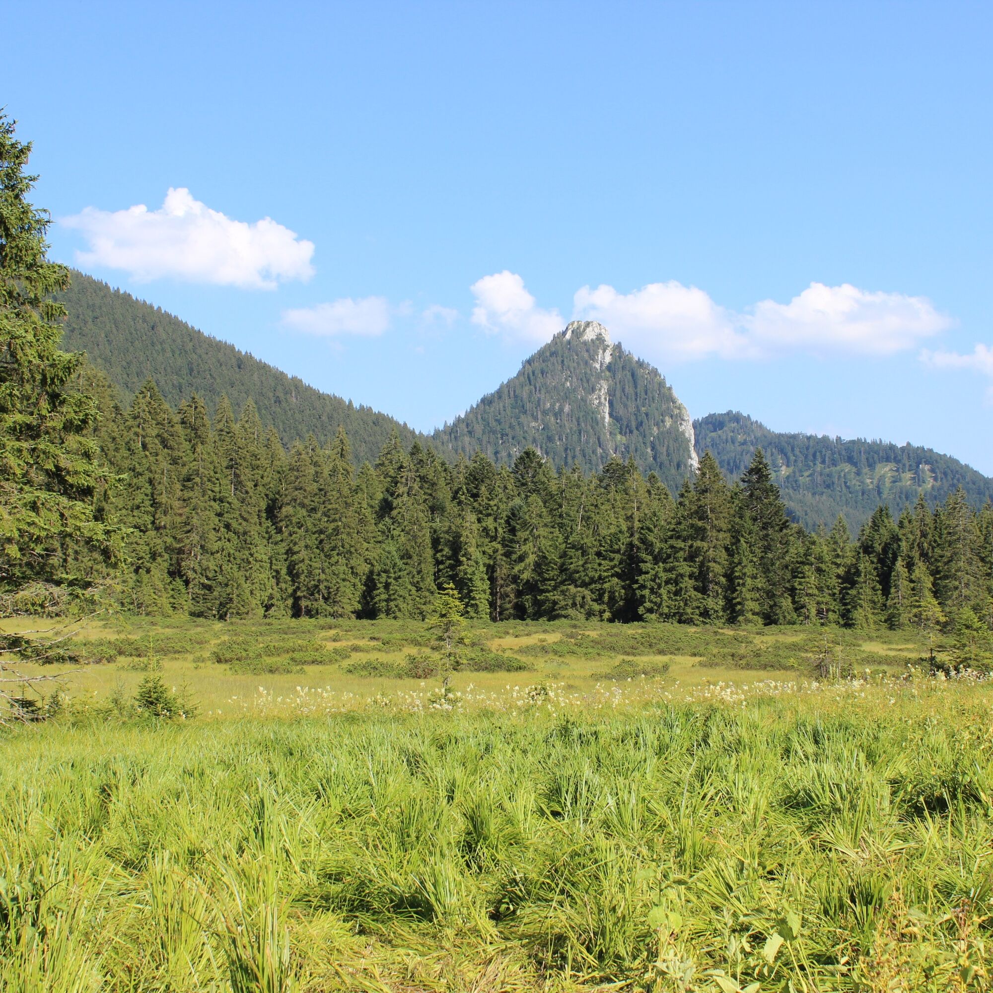
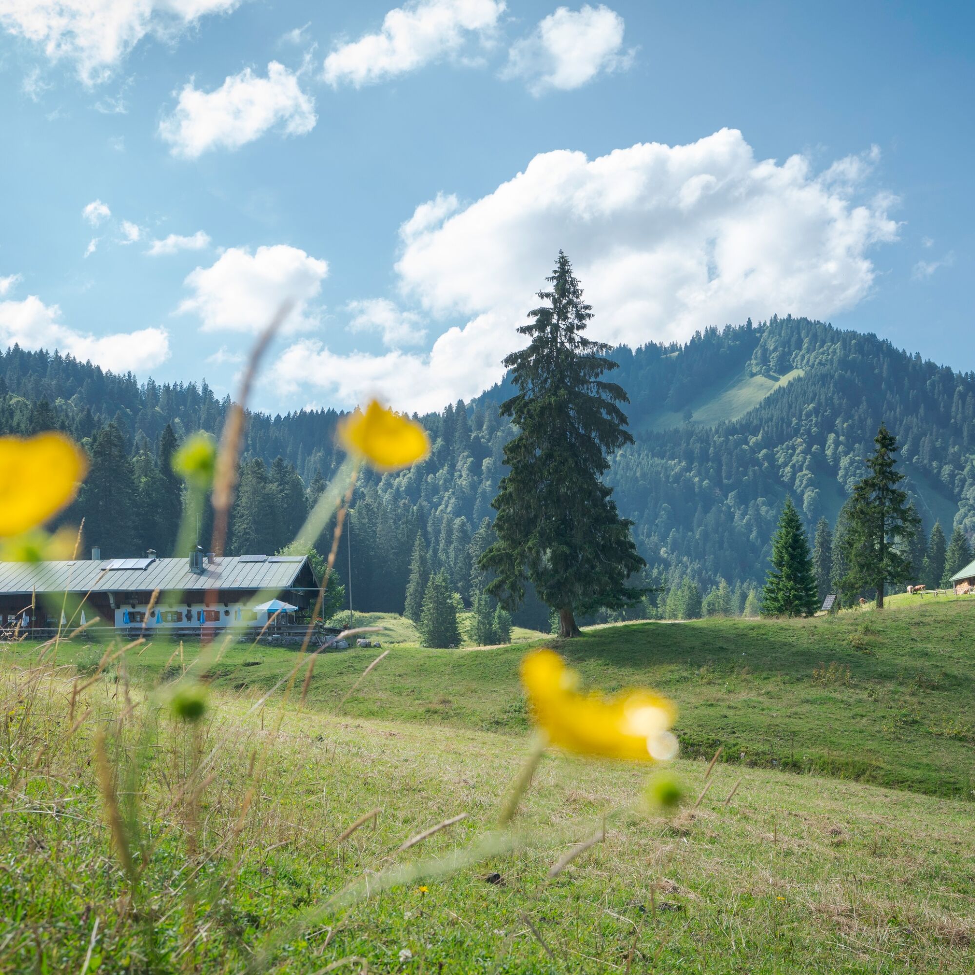
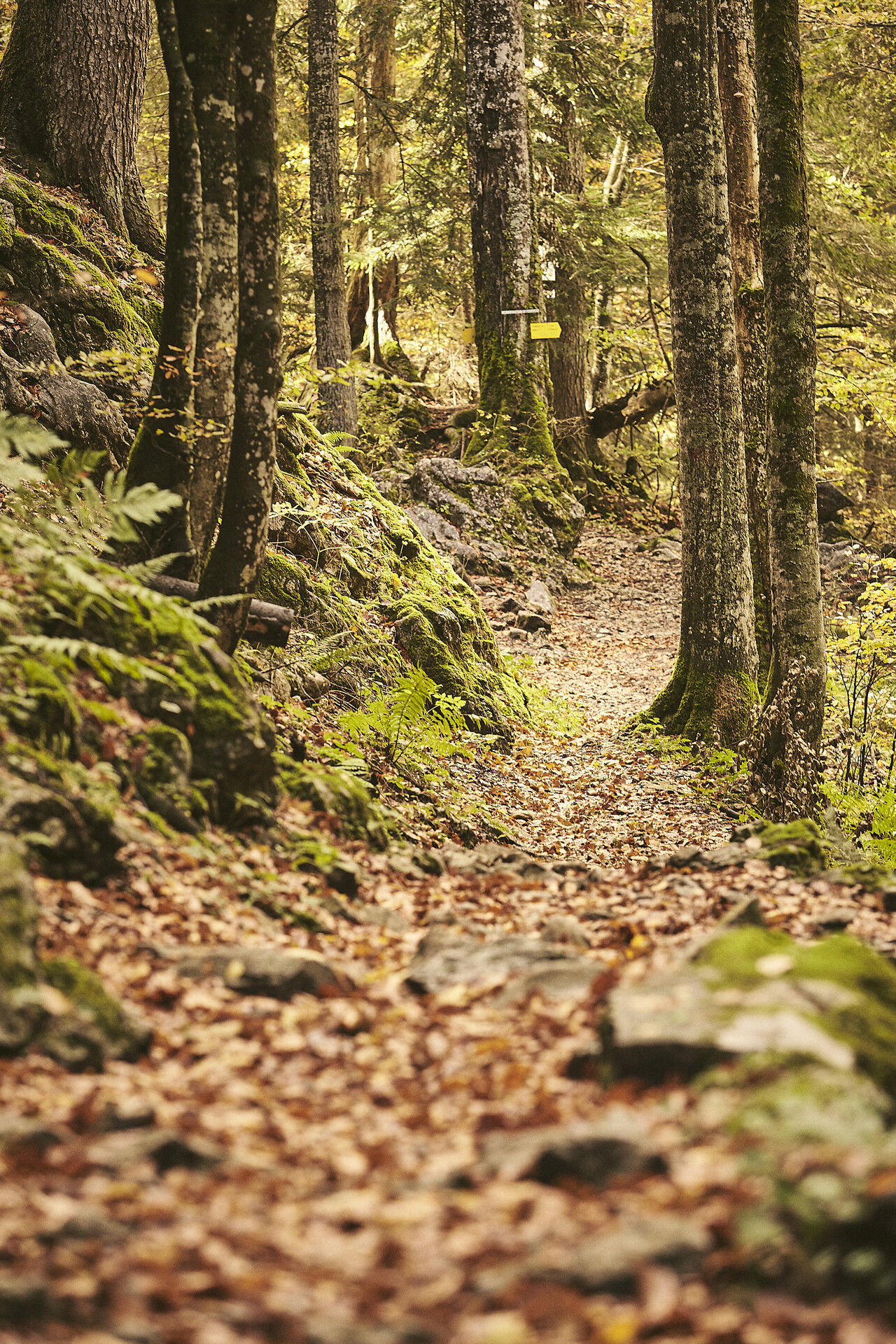
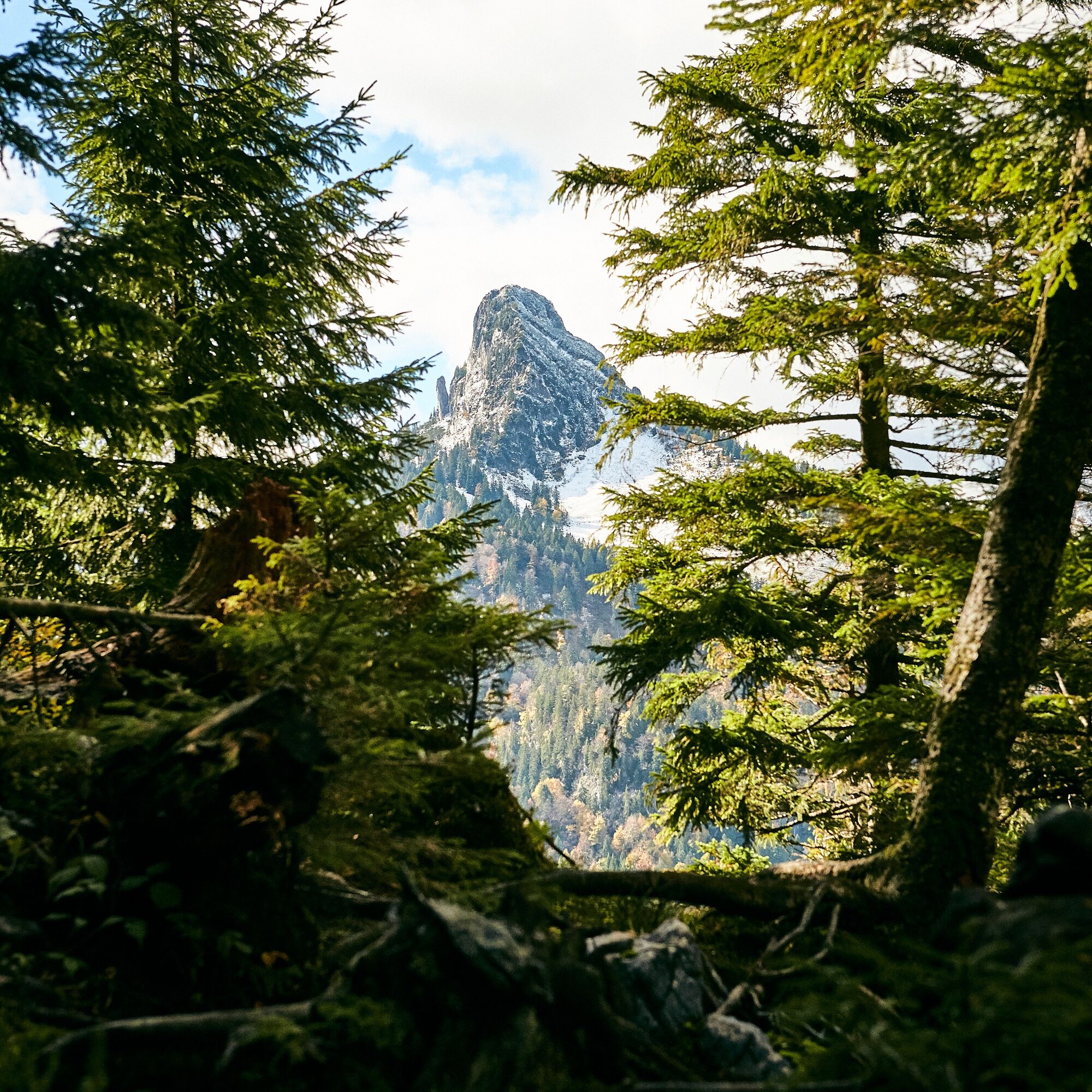
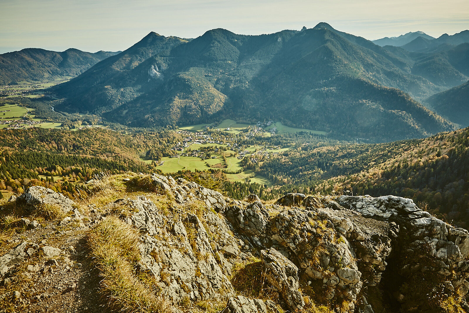
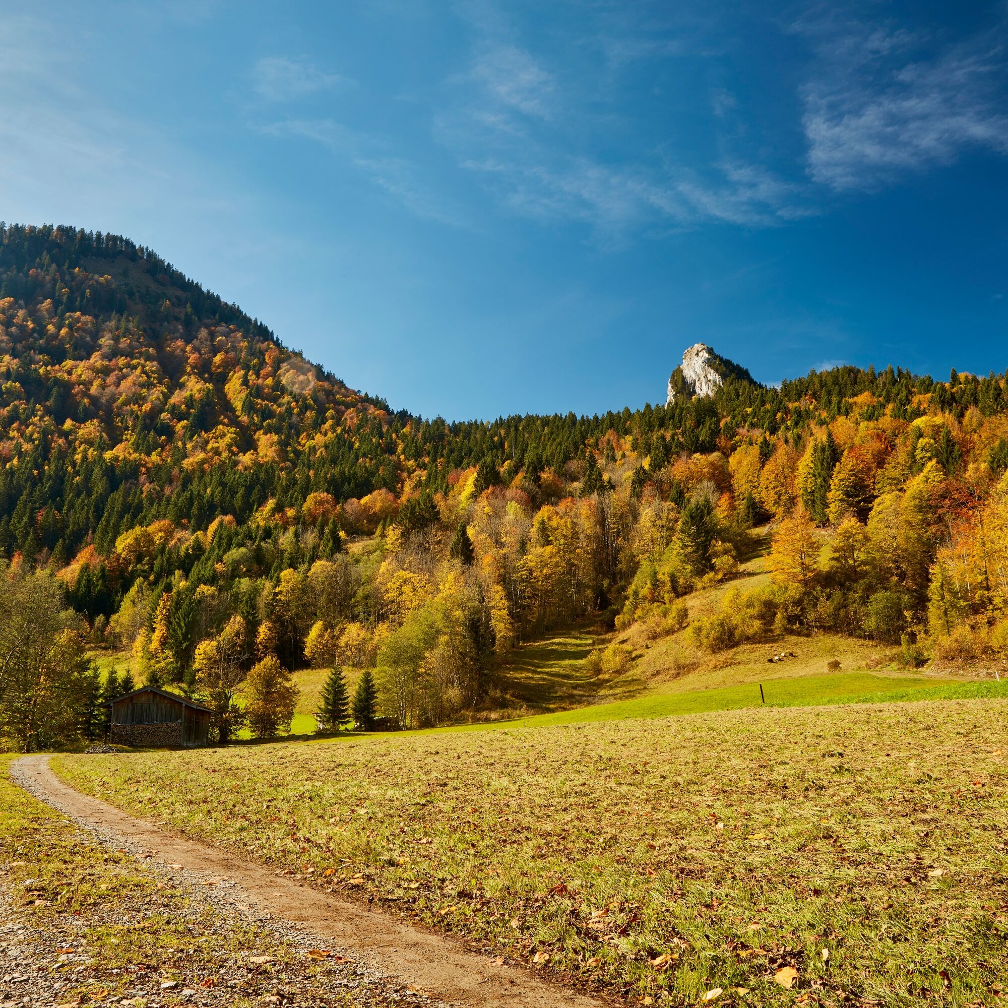

1st stage
Destination: Halserspitz summit and Guffert hut
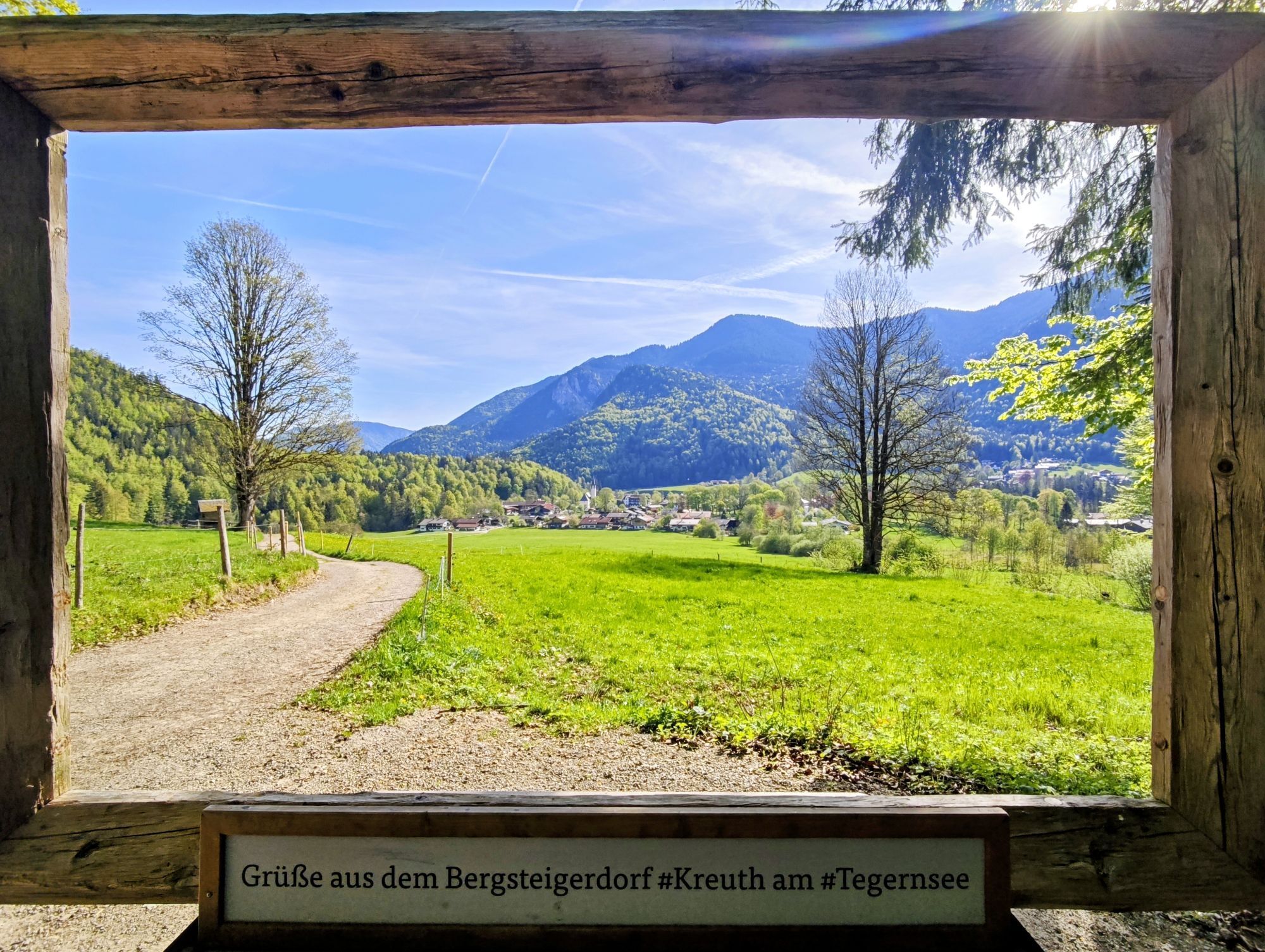
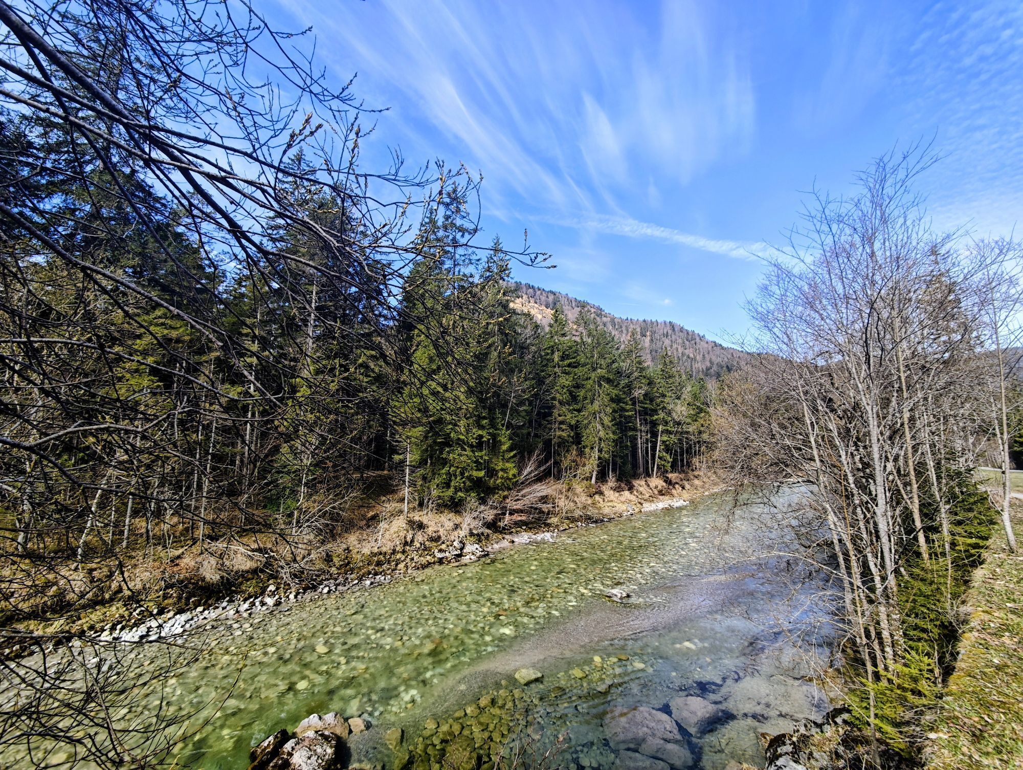
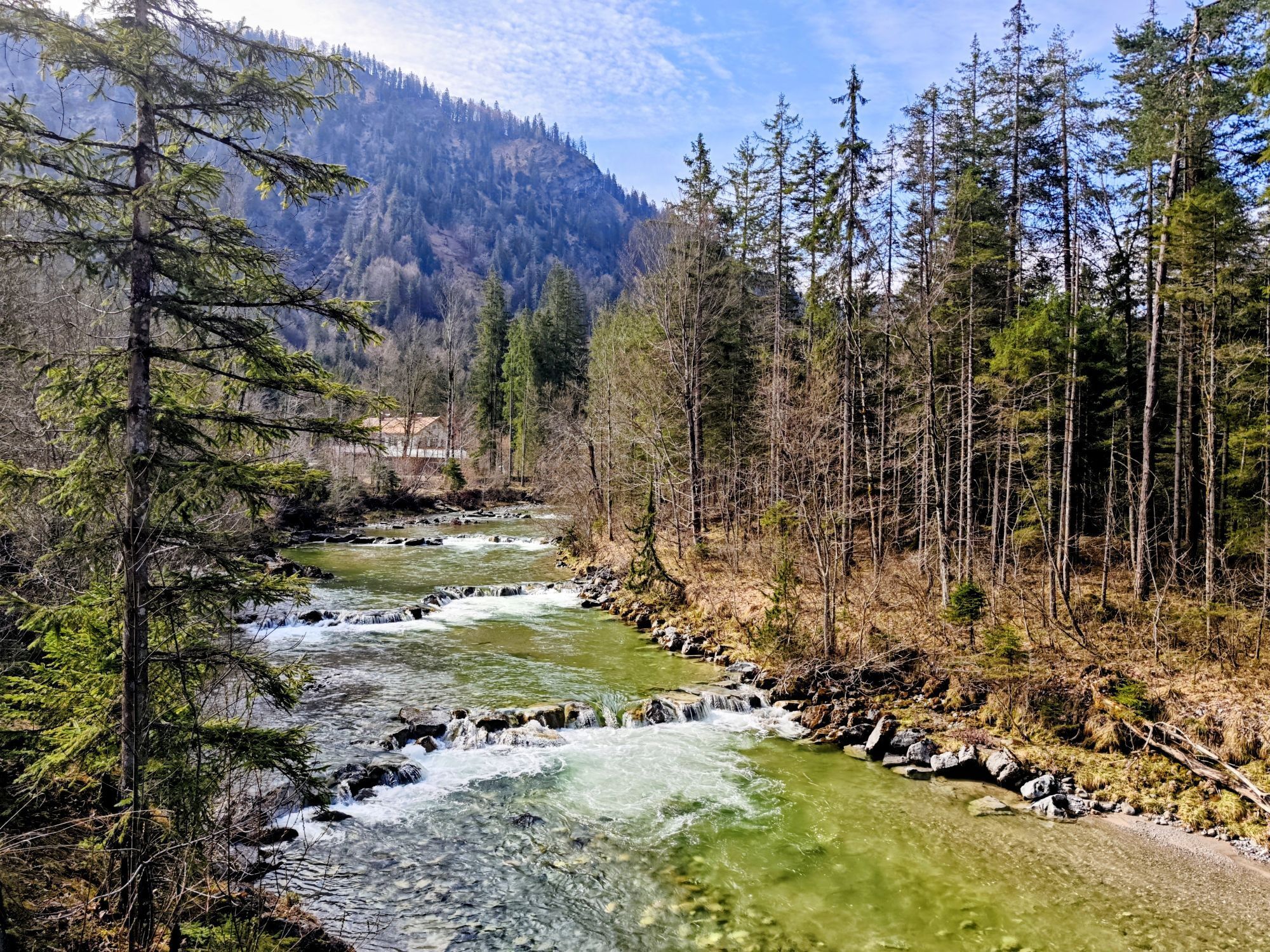
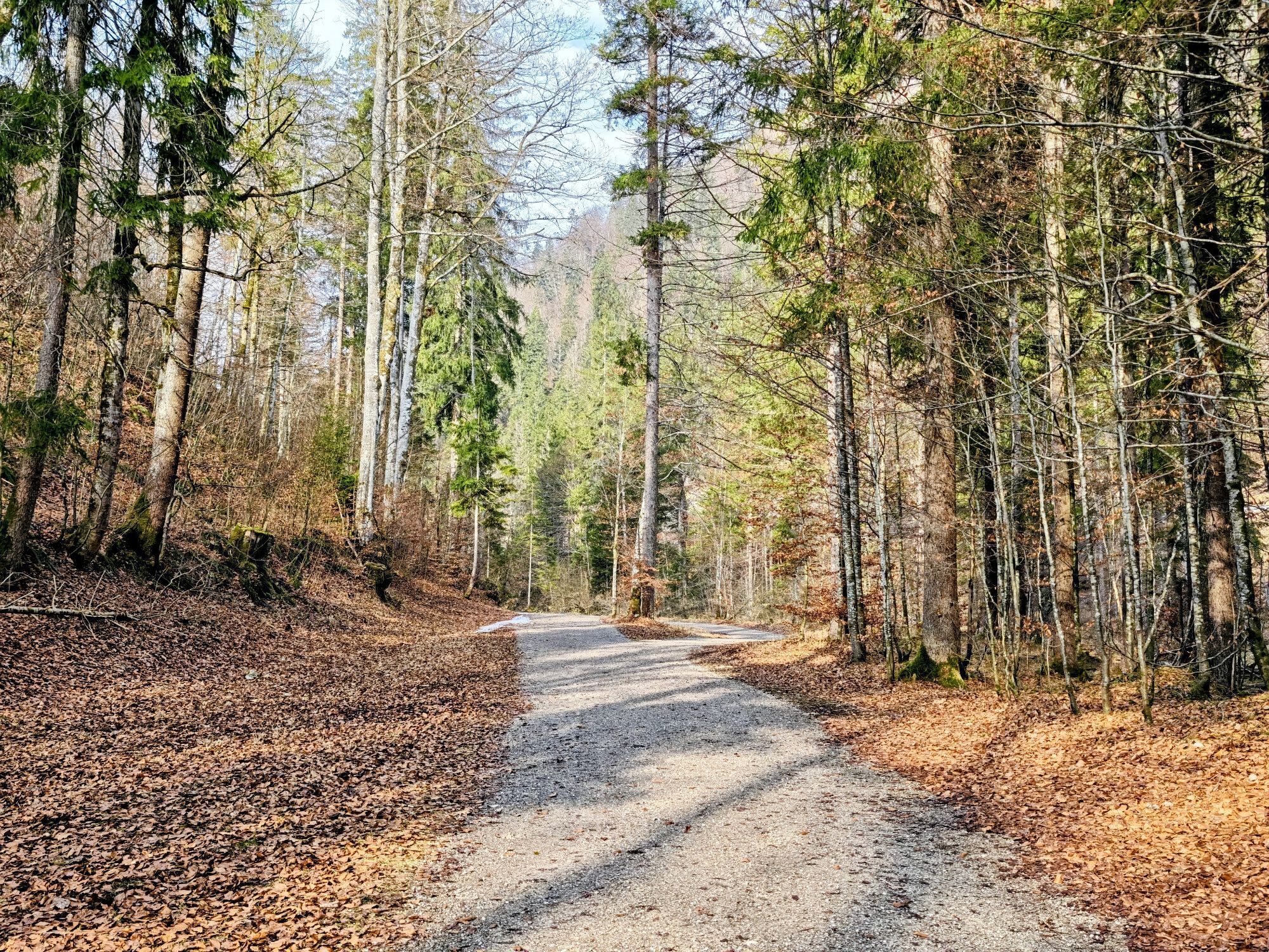
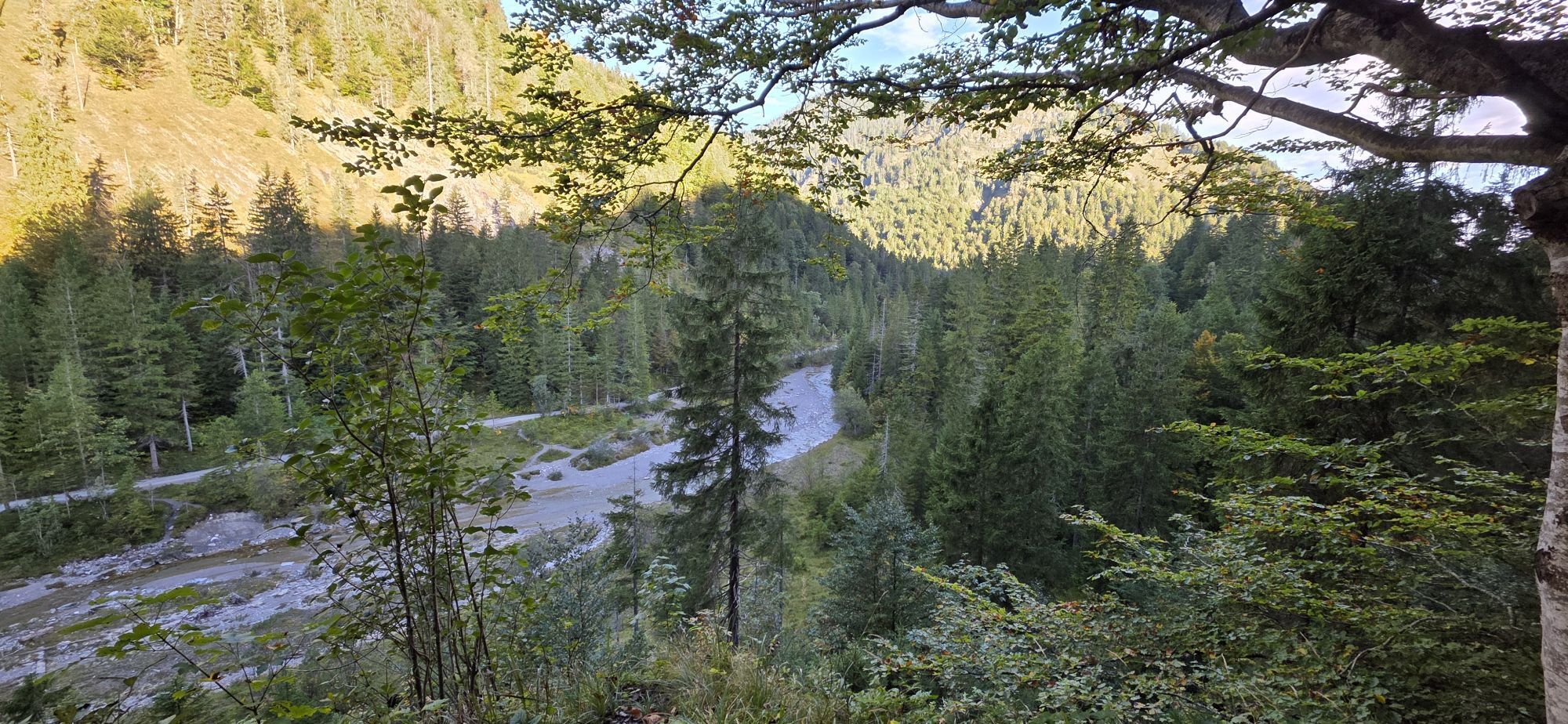
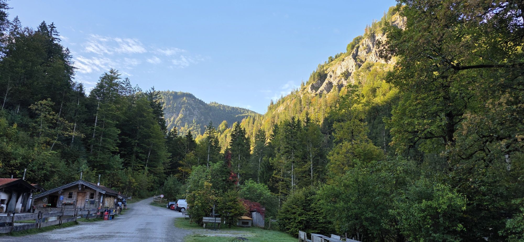
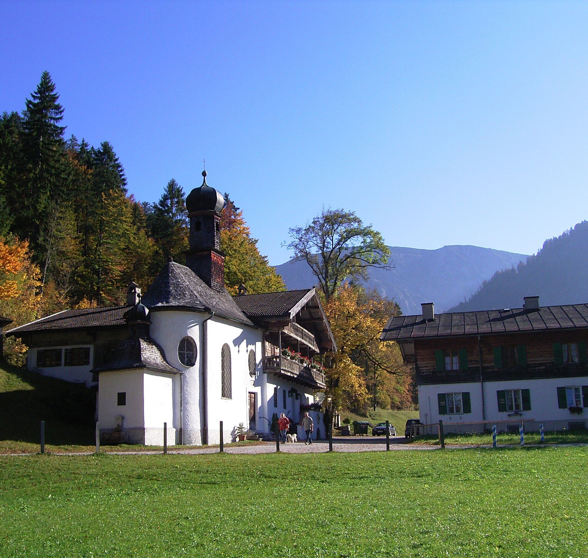
The starting point of the route is in Kreuth at the Kurpark (783m). The path towards Wildbad Kreuth (501) follows the Weißach river upstream to the left. At the bridge to the Wildbad Kreuth hiking parking lot, we turn left (502). First uphill on the paved road, then past the chapel we continue on a beautiful trail to Siebenhütten (836m).
From there, path no. 615 leads on a nice trail over the Hohlenstein-Alm and the dilapidated Stangenhäusl to Halserspitz and the Guffert hut.
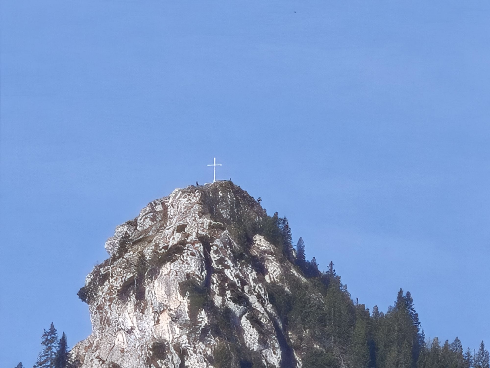
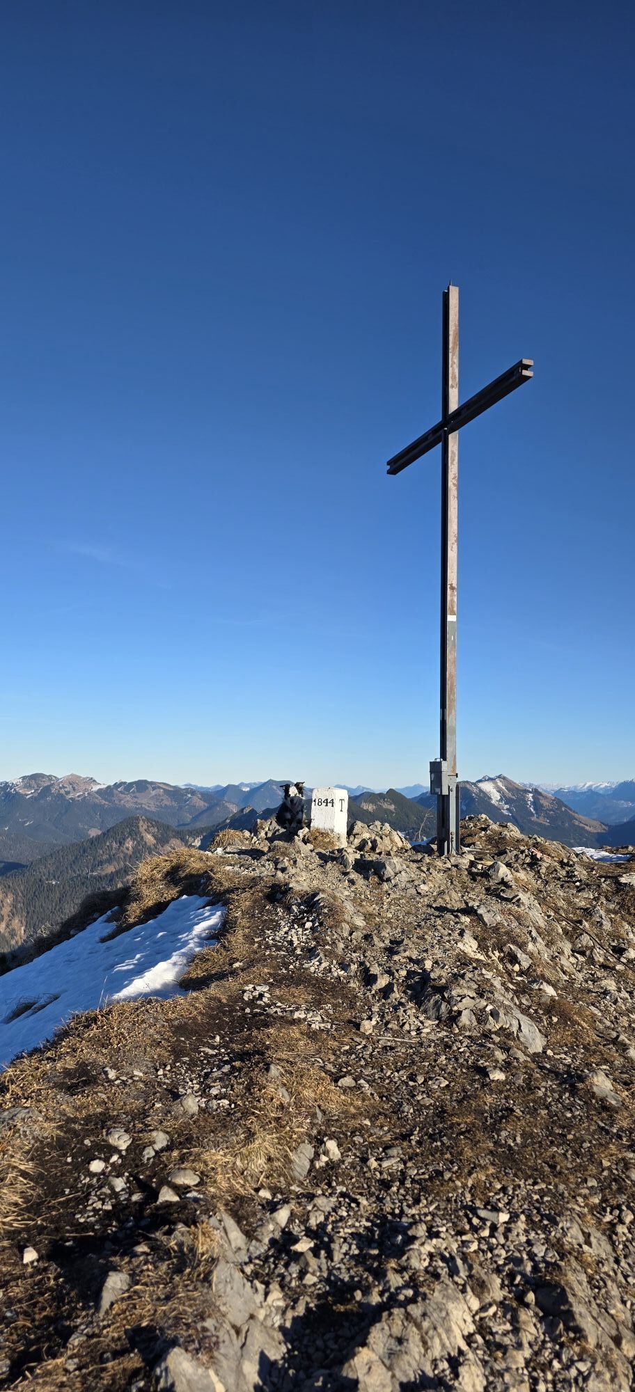
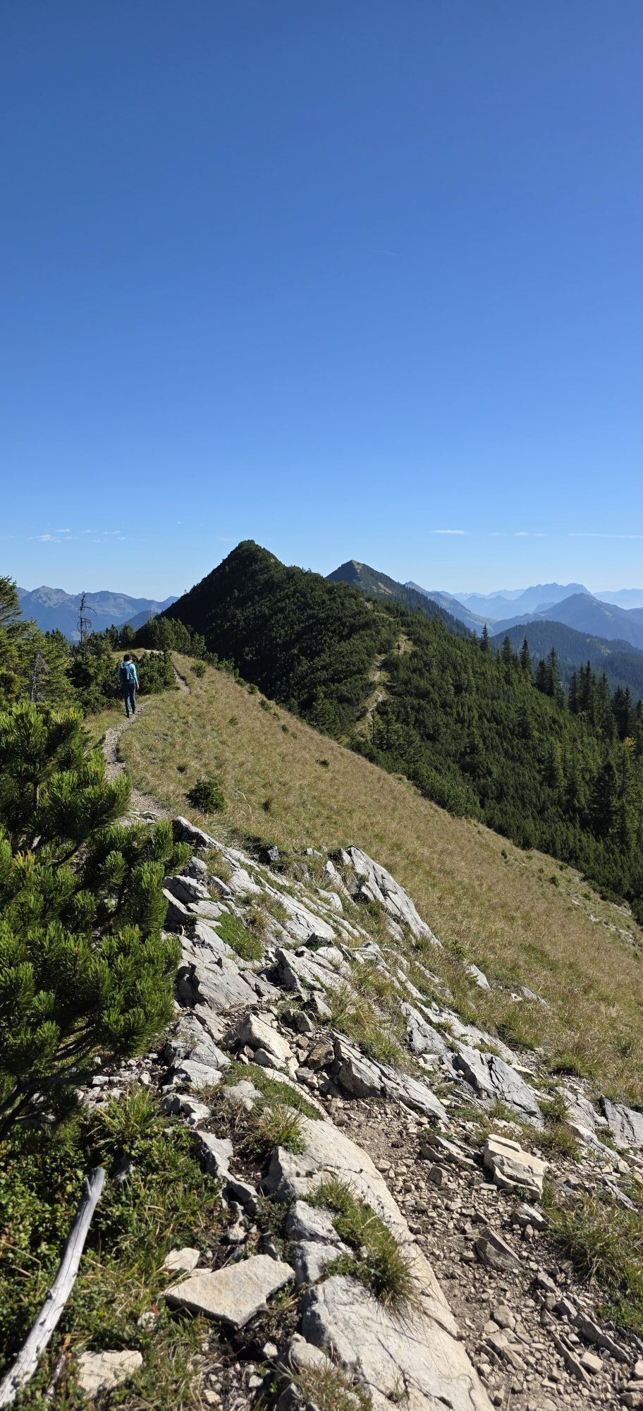
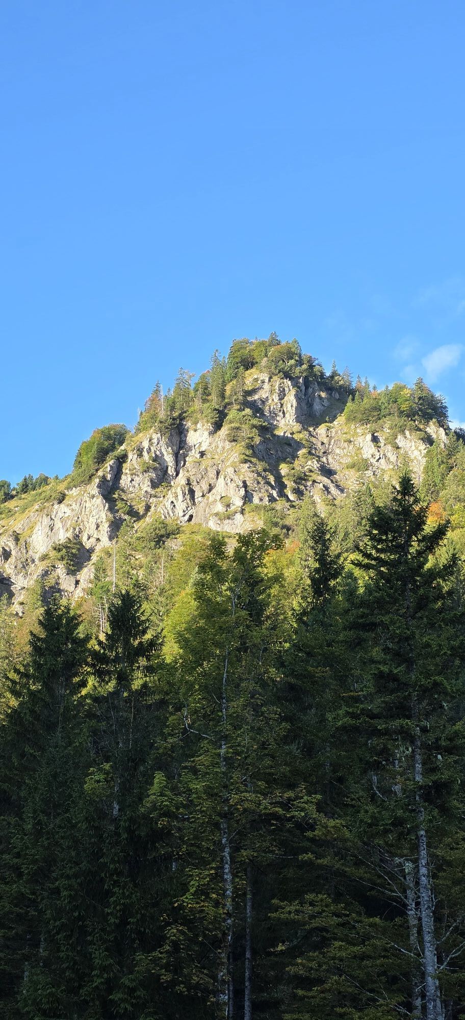
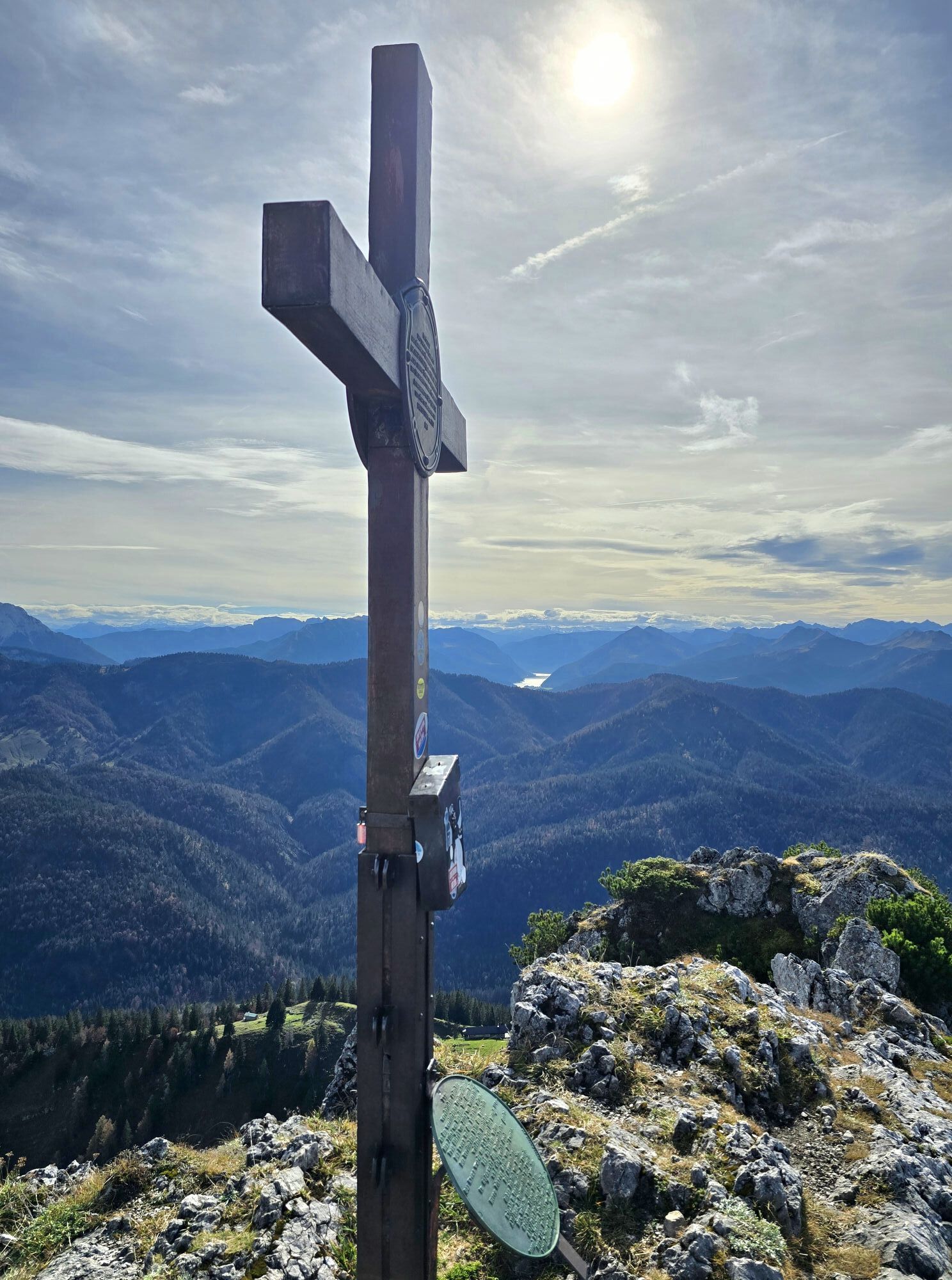
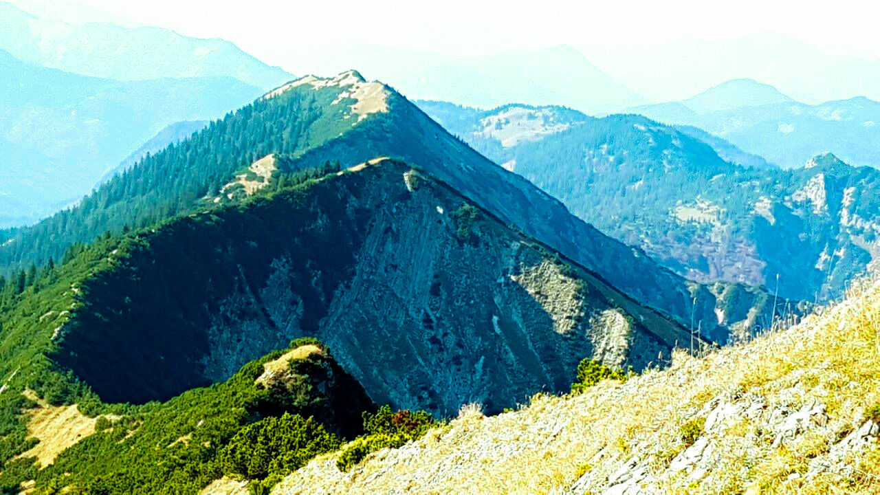
Just before the summit ascent, we have the choice to take the direct path to the hut (616b) or to go across an exposed crossing to the summit of Halserspitz (1862m).
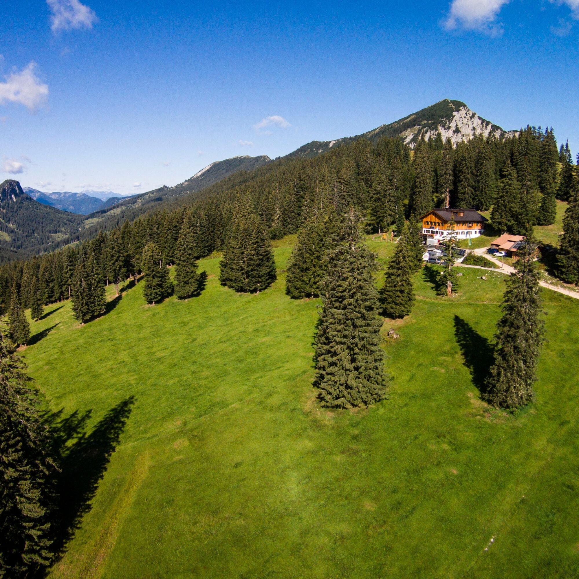
Via Karspitz and Sindelsdorfer-Alm we reach the day's destination, the Guffert hut.
Alternative:
Shortly before the hiking parking lot, the path goes to Schwaiger-Alm and into Langenau (616).
Passing the black cross, it follows the Sagenbach stream to the junction at the Stone Cross (884m).
On a beautiful trail (616b) it goes steeply uphill over Lahngarten to the Guffert hut (1475m).
2nd stage
Destination: Roß- and Buchstein and Tegernsee hut
After a nice ascent over the Sindelsdorfer-Alm, we reach the junction to Halserspitz again at Karspitz, which we "leave to the right" today.
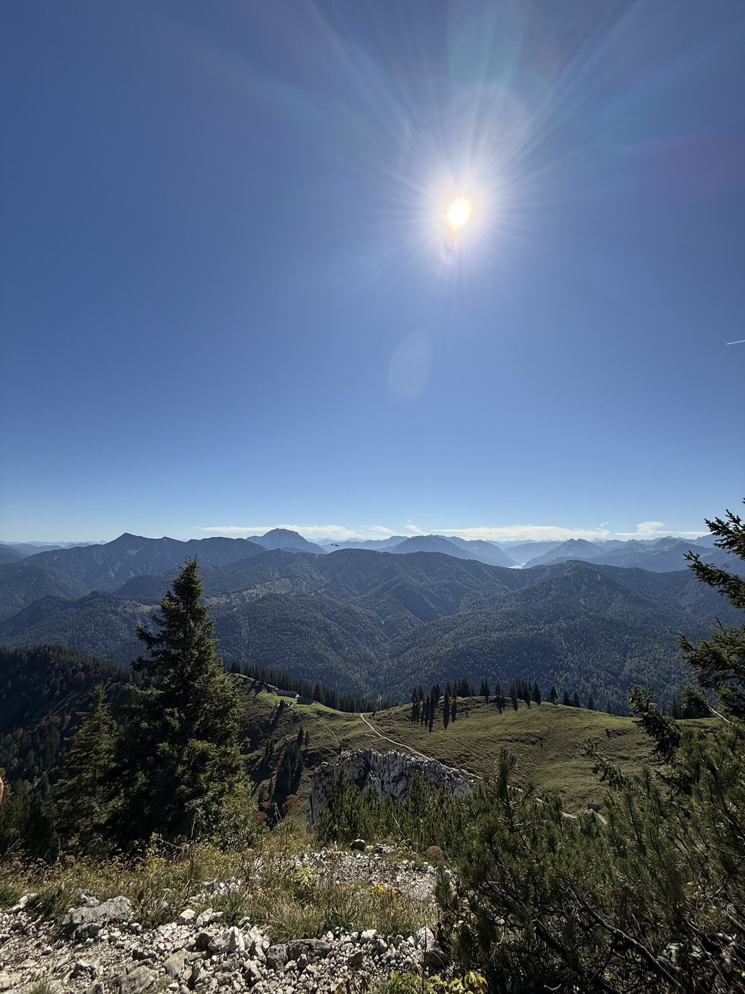
Over the Blaubergalm (1540m) and the Schildenstein (1613m) we descend to the beautifully located Königs-Alm (1115m), a welcome place to stop during the alpine season from mid-June to the end of September (path 615).
On a forest road (615a), it goes to the Klamm parking lot (814m). Here we turn left onto the bike path (501) to Bayerwald, the starting point of the tour to Roß- and Buchstein with the Tegernsee hut.
Shortly before the Roß- and Buchstein hiking parking lot, we cross the Weißach and the federal road.
The beautiful trail (609) goes steeply uphill, past the Niederleger of Sonnberg-Alm, then through light forest to the Hochleger with a place to eat during the alpine season. From there, you can already see the Tegernsee hut, our destination of the day.
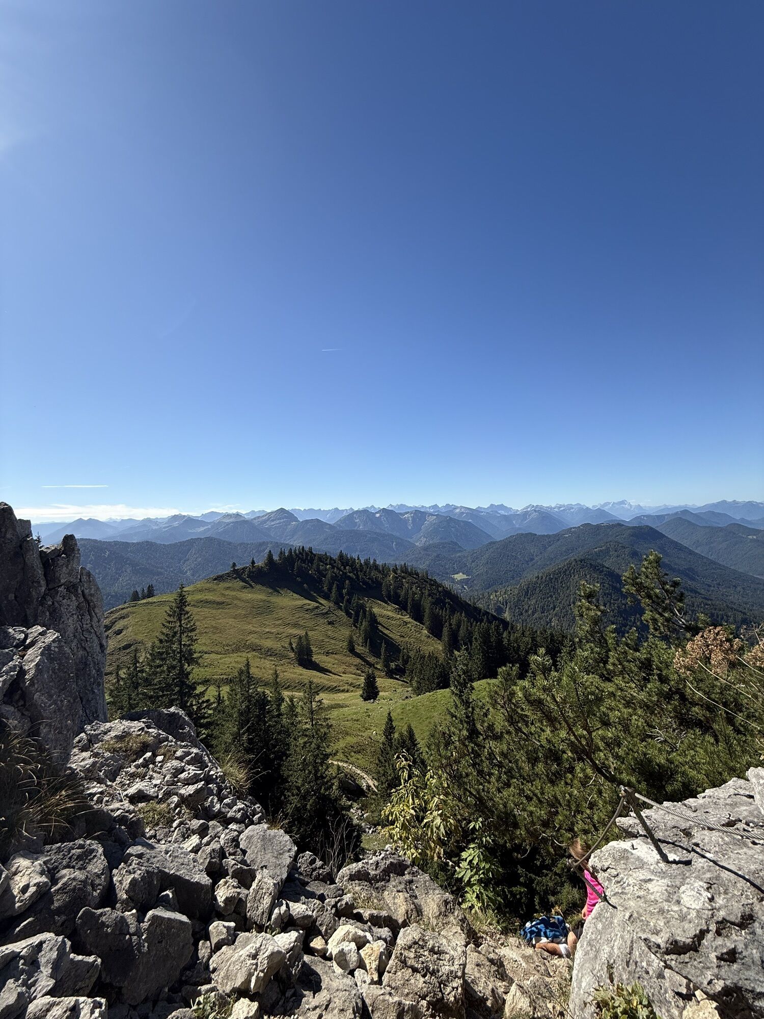
At the foot of Roßstein, we decide either for the steep, direct "mini via ferrata" to the Tegernsee hut or for the detour with the easier ascent via the north side (633 and 609).
The path is partly secured with cables and requires surefootedness and a head for heights.
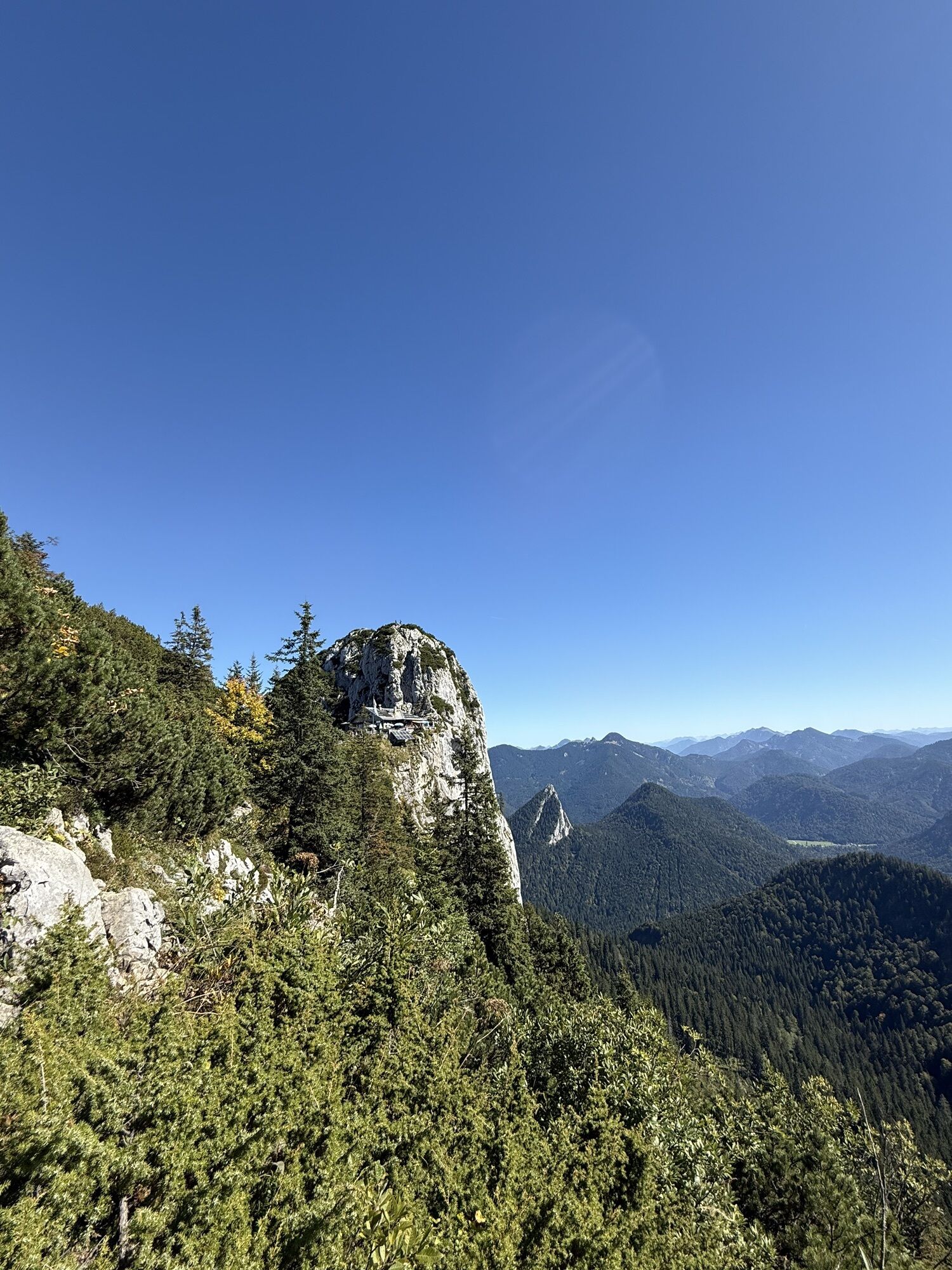
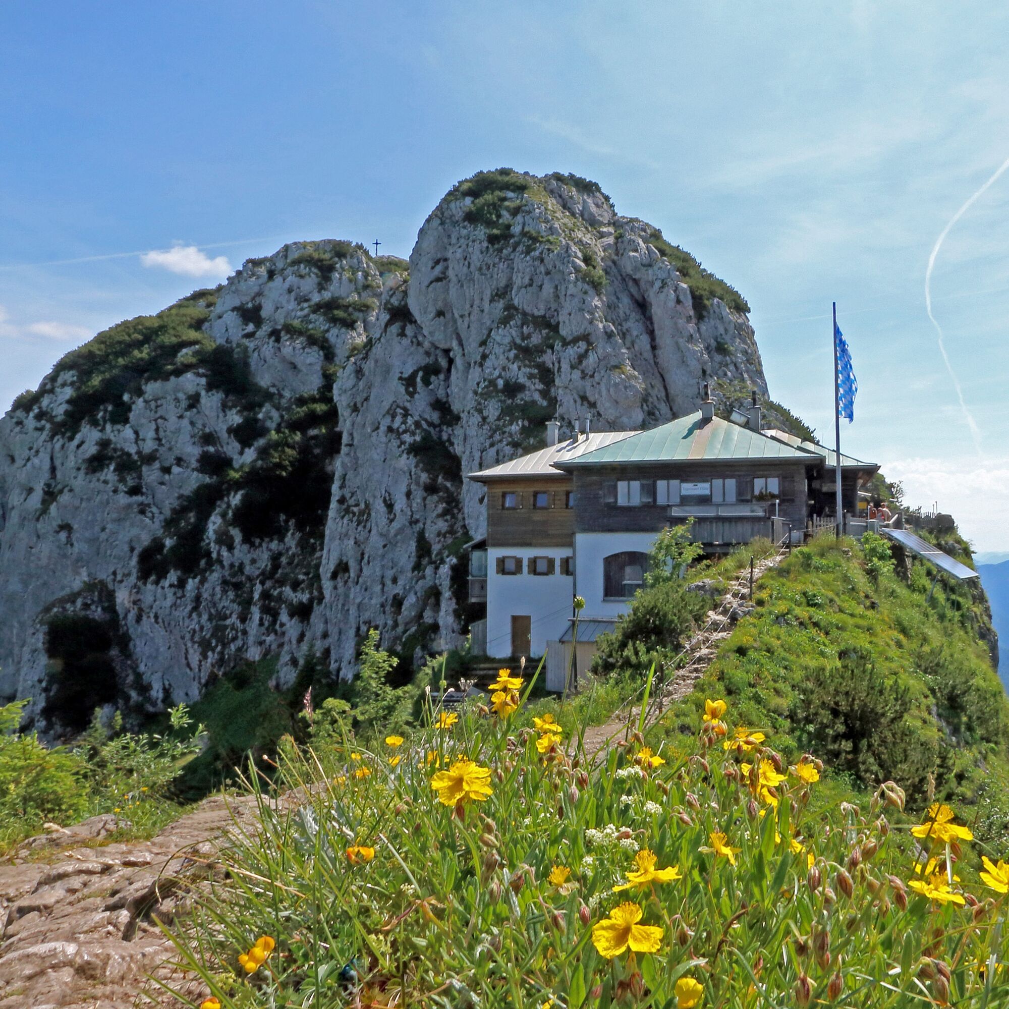
The Tegernsee hut (1650m) is one of the most beautiful huts in the Alpine foothills with a panoramic location.
Variant:
Abandon the tour at the Klamm hiking parking lot
By bus back to the Kreuth - Riedlerbrücke stop or to Tegernsee station
3rd stage
Destination: Schwarzentenn - Leonhardstein saddle - starting point in Kreuth
On the north side, we first descend from the Tegernsee hut into the Schwarzenbachtal (609).
To Buchsteinhütte, it goes on a beautiful trail, then on a forest road. This can be shortened a few times. Upon reaching Schwarzenbach (1014m), one can decide for a stop at Schwarzentenn-Alm (left ca. 10 min. on path 604) or continue directly to Leonhardstein saddle.
For this, we go a short way right on the forest road (604) before path no. 608 branches left to Leonhardstein. If you still have enough condition, you could do the short but steep ascent to the summit from the Leonhardstein saddle.
Otherwise, you descend via Duslau Alm to Kirchberg ski lift and the St. Leonhard church in Kreuth.
Before heading to the parking lot at Kurpark, we stop at one of the cosy inns in Kreuth. Before the journey home, the beautifully located Warmfreibad Kreuth invites you to relax.
Variant:
Abandon the tour at the Schwarzenbach junction
We follow the beautiful trail (604) along Schwarzentenn to the bus stop at Klamm parking lot. Then by bus back to Kreuth - Riedlerbrücke stop or Tegernsee station.
The tour can also be done counterclockwise.
Ano
Ano
Sturdy footwear and weather-appropriate clothing, possibly rain jacket, drinking bottle, first aid kit, change of clothes, possibly hut sleeping bag.
1st stage:
The crossing below Halserspitz requires surefootedness and a head for heights.
In spring, a snowfield often persists there for a long time. In this case, one should go directly to the Guffert hut via path 616b and take the Halserspitz summit from the south on the next day.
Alternative:
From Kreuth to the Schwaiger-Alm guesthouse and through Langenau, Stone Cross to the Guffert hut. (Path 501, 616, 616b)
2nd stage:
The southern ascent to the Tegernsee hut requires surefootedness and a head for heights.
This can be avoided by bypassing Roßstein and ascending from the north side. From the Sonnberg-Alm Hochleger take path 633 first towards Roßsteinalm and then to the right to the Tegernsee hut.
All information without guarantee.
Entering and traveling on the routes described here is at your own risk.
A8 to the Holzkirchen exit, via B318 and B307 to Kreuth.
By MVV to Tegernsee, bus stop Riedlerbrücke.
Paid parking lot in Kreuth at Kurpark.
Multi-day parking permits
At the machines, a parking fee can be paid up to 6 days in advance. If someone intends to park longer, they can acquire a parking permit for a longer period at the Kreuth town hall (room 4).
The 2nd stage from the Guffert to the Tegernsee hut should be started very early.
During the alpine season, there is a worthwhile stop at the Königsalm.
Získejte přehled Vždy živě na místě s více než 9 500 webkamerami. bergfex Jako uživatel Pro si nyní můžete zobrazit odpovídající webové kamery pro mnoho prohlídek v aplikaci prohlídky z. Můžete si tak přímo prohlédnout aktuální podmínky. Oblíbené prohlídky v okolí
- 4,8
Summit route to the Wallberg
středníTuristika 12,2 km - 4,7
Königsalm
středníTuristika 10,0 km - 4,8
Lengrieser Hütte
středníTuristika 10,6 km - 4,2
Tegernsee Höhenweg - North
světloTuristika 12,3 km - 4,7
Rotwand über Schliersee, Deutschland
středníTuristika 15,4 km - 4,6
Brecherspitze
středníHorská turistika 14,5 km - 4,6
Aueralm/Zwerglberg
středníTuristika 11,9 km - 4,5
Brecherspitz-Runde auf dem Normalweg Schliersee, Bayern
středníTuristika 11,3 km - 3,7
Aueralm und Fockenstein
středníTuristika 14,1 km - 3,4
Zur Gindelalm und Kreuzbergalm
světloTuristika 8,16 km
Pěší turistika a stopování


Nenechte si ujít nabídky a inspiraci pro vaši příští dovolenou
Vaše e-mailová adresa byl přidán do poštovního seznamu.





